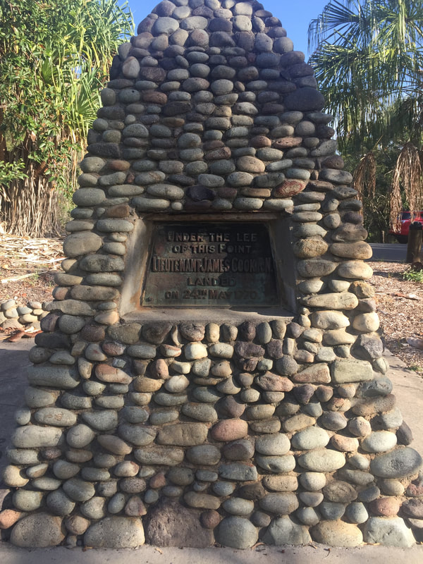
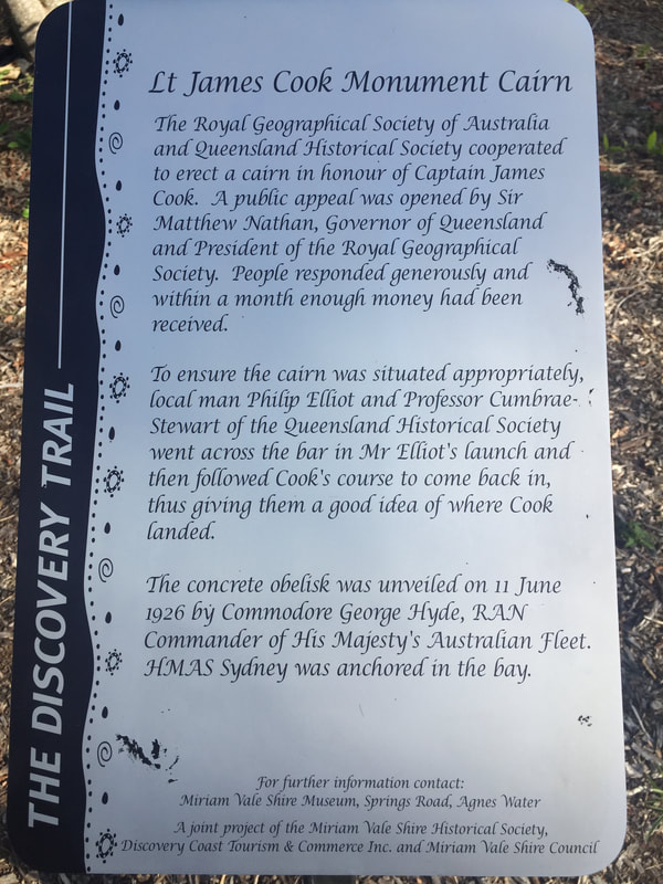
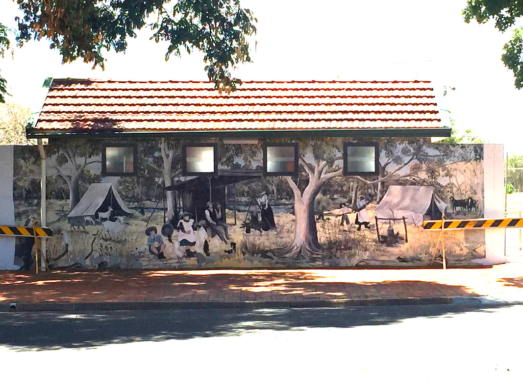
Originally known as Round Hill, Seventeen Seventy sits within the Gladstone region of Queensland, its township is built on the second landing site of Captain James Cook and his crew HM Endeavour on May 24th of year 1770. The town got renamed Seventeen Seventy in 1970 to commemorate the bicentenary of Cook’s visit. When the endeavor landed here, Captain Cook and his fearless botanist Joseph Banks when for a trek around the woods to collect plant specimens.
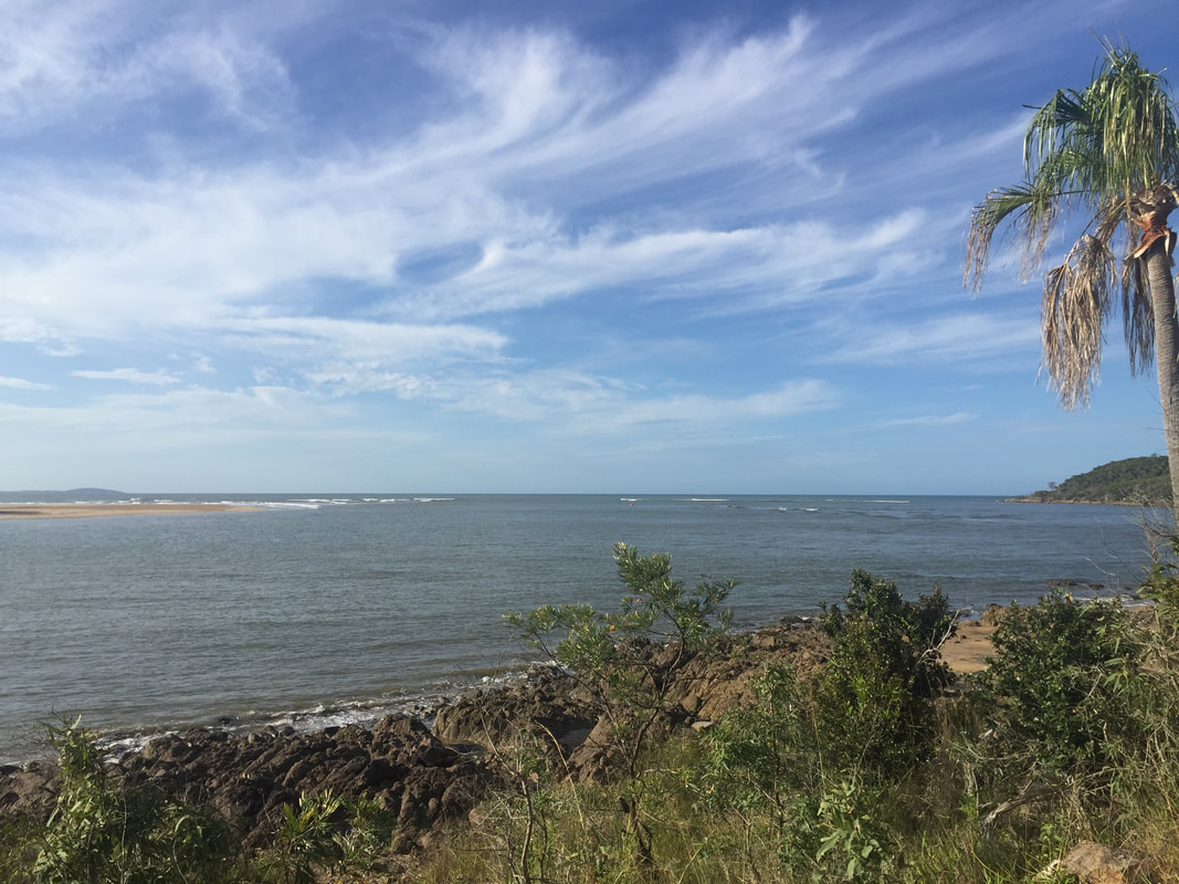
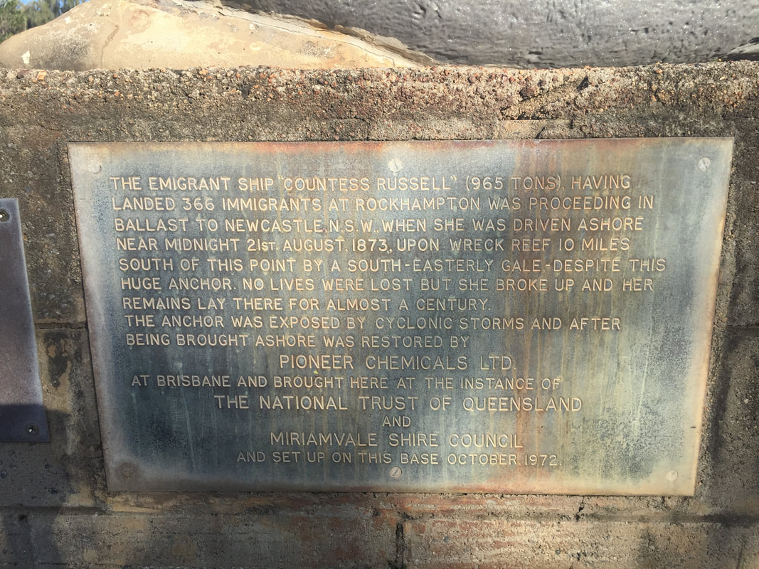
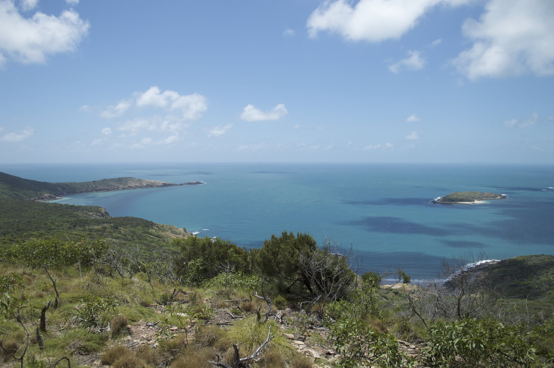
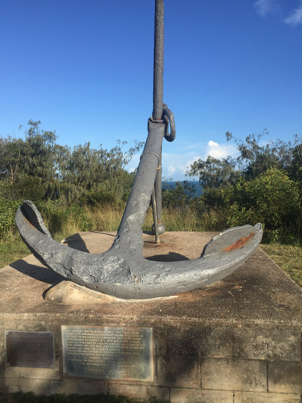
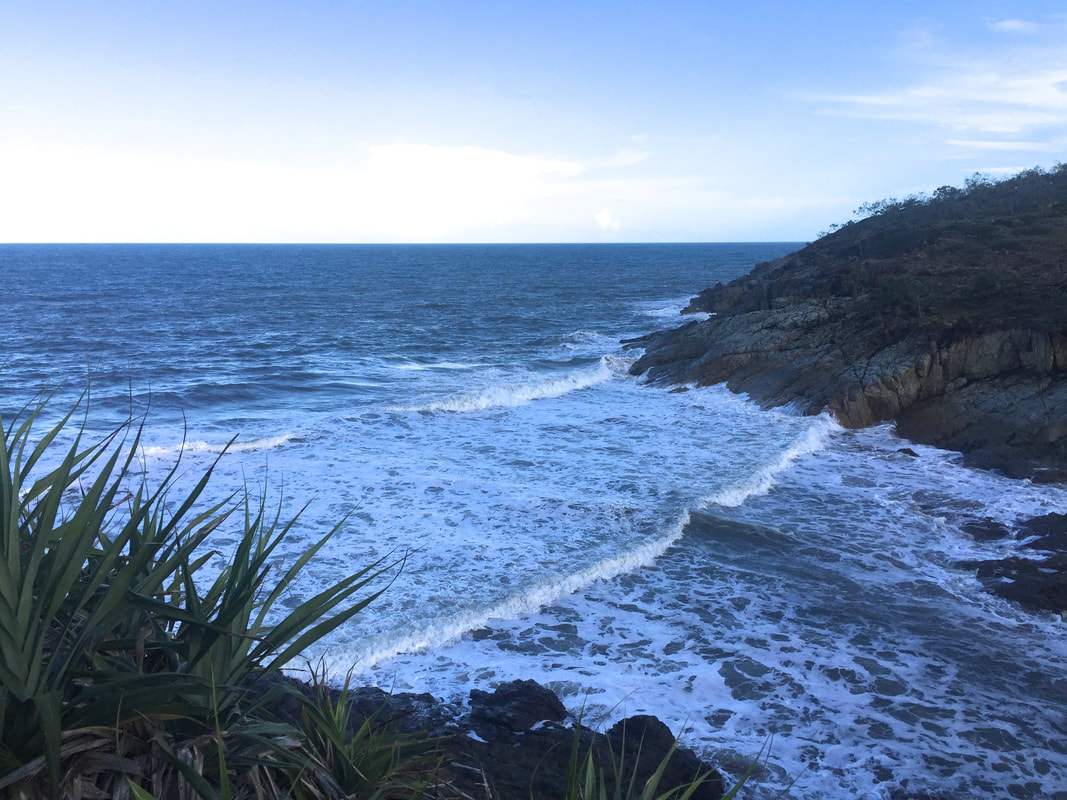
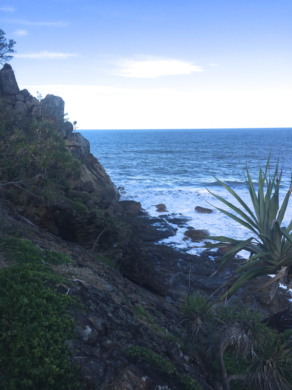
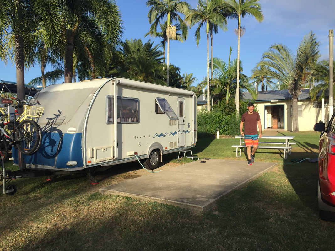
We went for a drive up to the point of Seventeen Seventy, it took us past a mix of old and new real estate, a fishing mariner and out towards the end a view a waves crashing on to rocky cliff edges. There was barely any people, a man and his dog and a couple of courageous fishermen scathing the rocky cliffs to catch some dinner. We enjoyed the crashing of waves and a sun heading to set at the horizon of the sea, very rare to see in this part of Australia. On display is a restored anchor from the vessel “Countless Russell”, which got blown away by cyclonic winds on 21st August 1873, the crew discharged from the ship prior to being destroyed leaving no casualties. The other site we checked out is the marker of Captain James Cook’s landing in 1770. The Cairn was built in 1926, and still in remarkable condition. Being in the area of Seventeen Seventy and knowing this is where Cook landed makes you do a lot of role playing in your mind, picturing where they landed the Endeavour and where Captain Cook and Joseph Banks went for their excursion in the woods. Apart from daydreaming about history, the endless views of waves crashing into land on one side and a quiet calm fishing mariner on the other make it a great place to unwind.
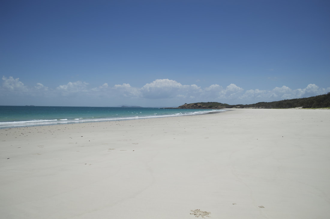
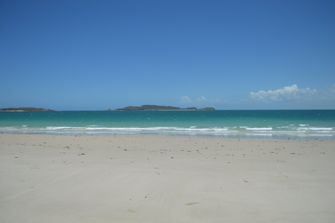
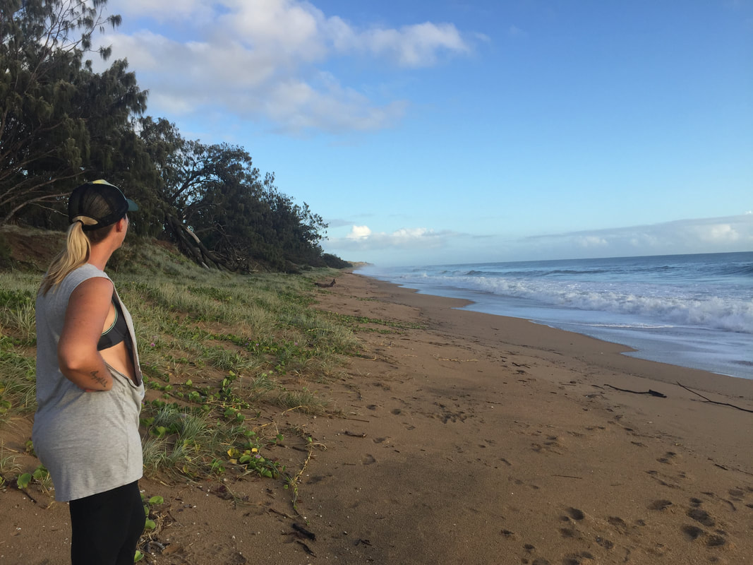
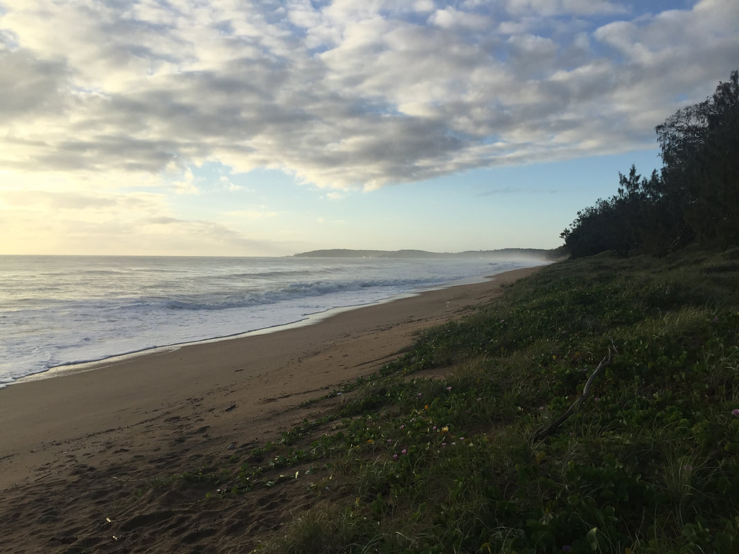
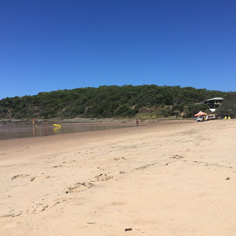
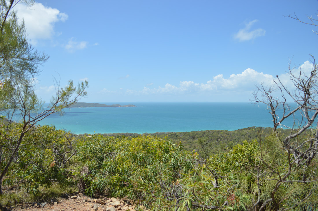
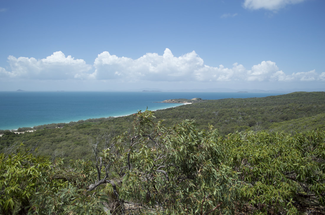
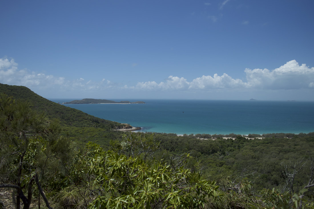
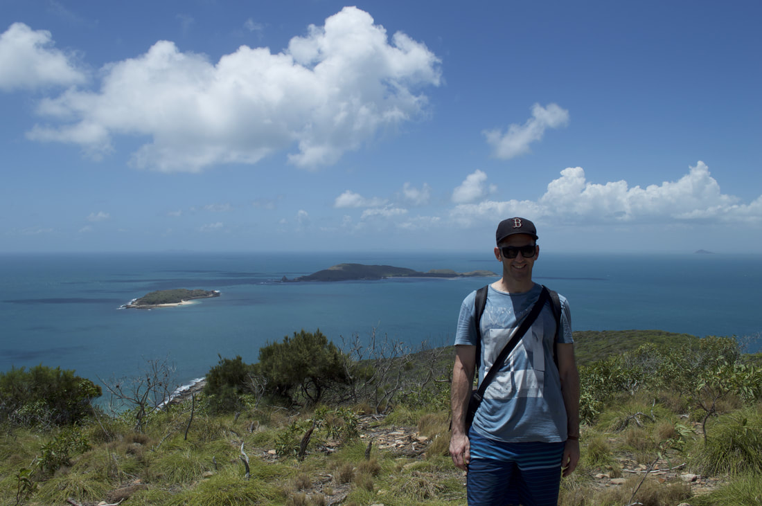
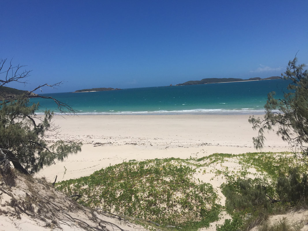
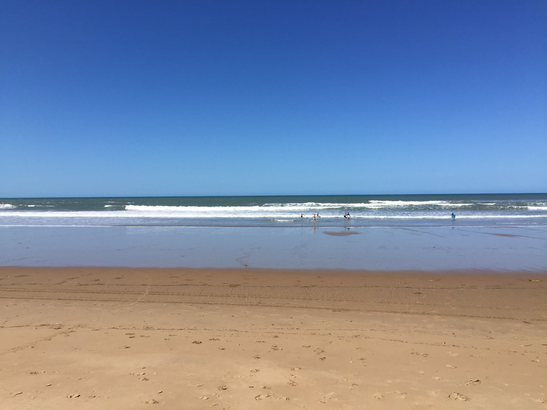  This is the most northerly surf beach on the east coast of Australia and the most southerly point of the Great Barrier Reef Marine Park. The reef prevents surf-able waves from forming north of this coastal section. Only 6kms up the road is the Township of 1770, part of the Discovery Coast region and the spot where Captain James Cook landed for the first time in what is now known as Queensland.
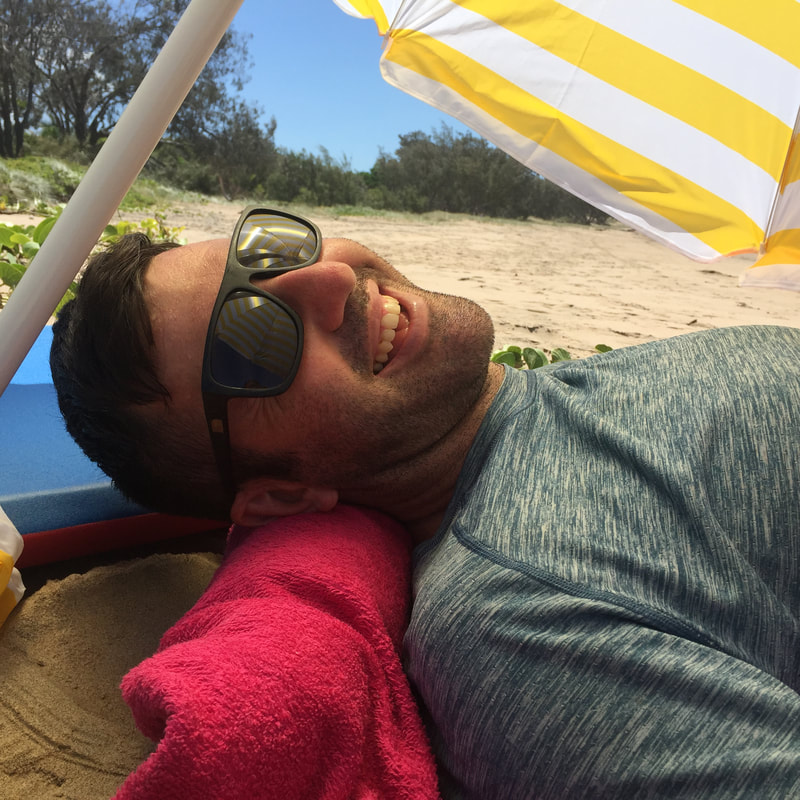
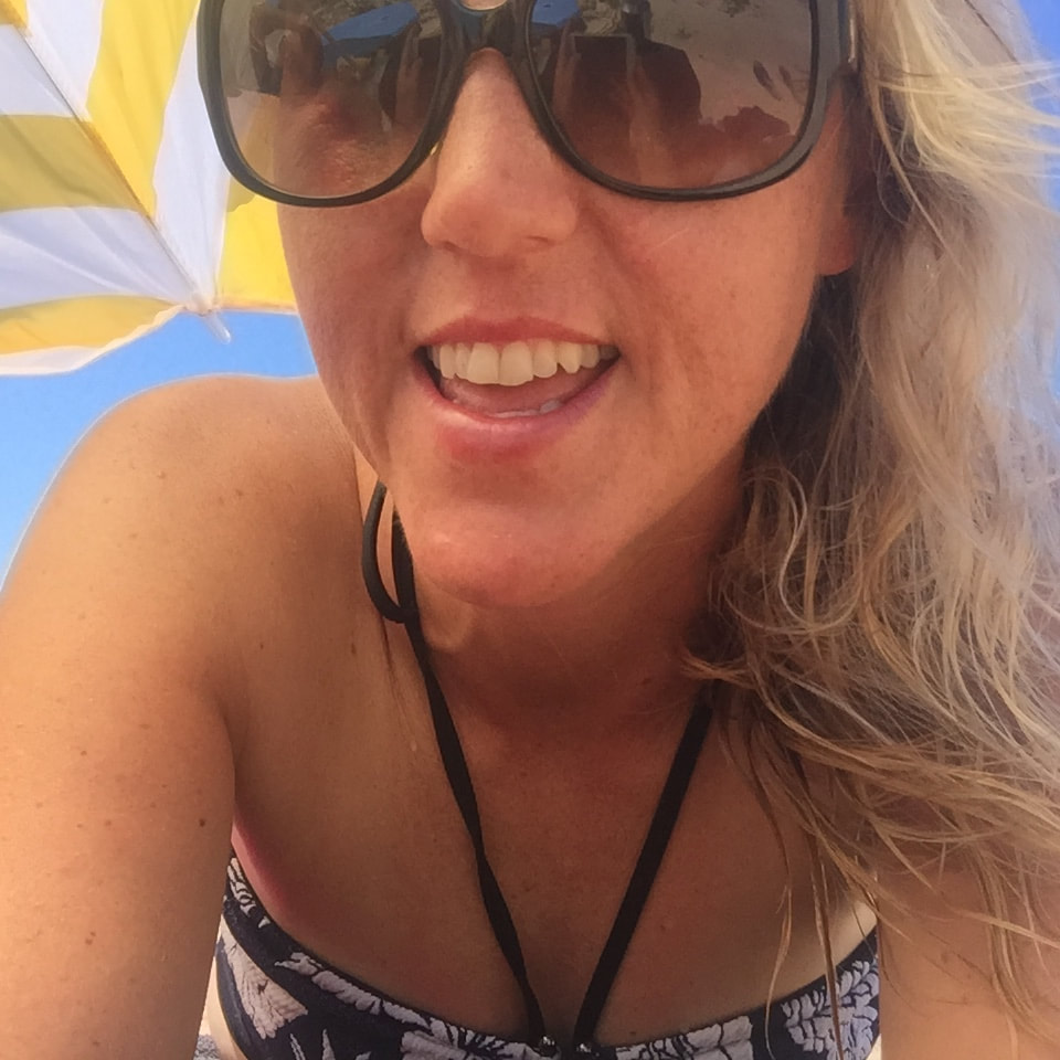
We had an awesome day, jogging, riding our bikes to the beach, getting smashed by waves and barrelled by the rip-swell, relaxing (aka "tanning" to Gumby) and devouring tasty burgers at the local cafe.
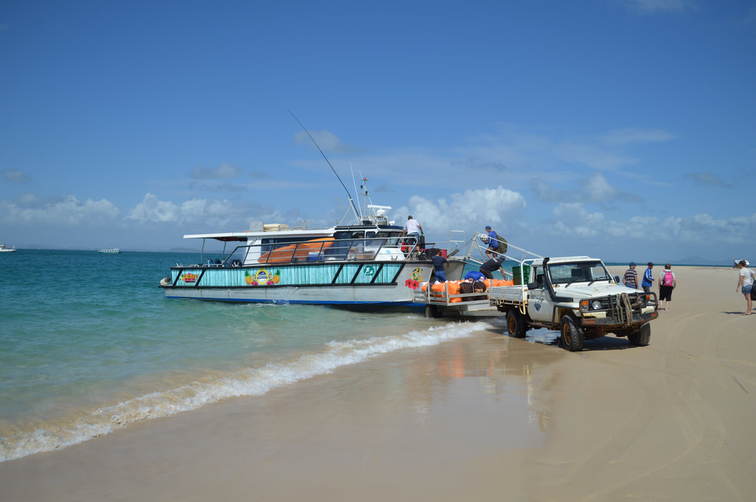
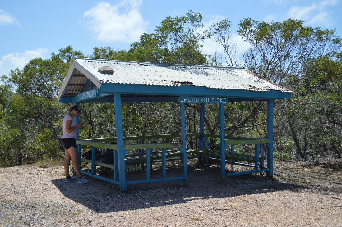
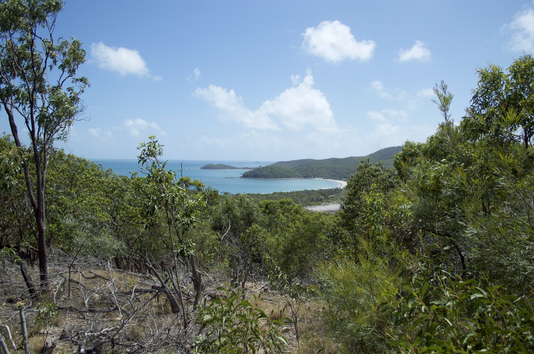
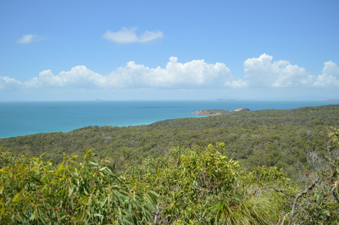
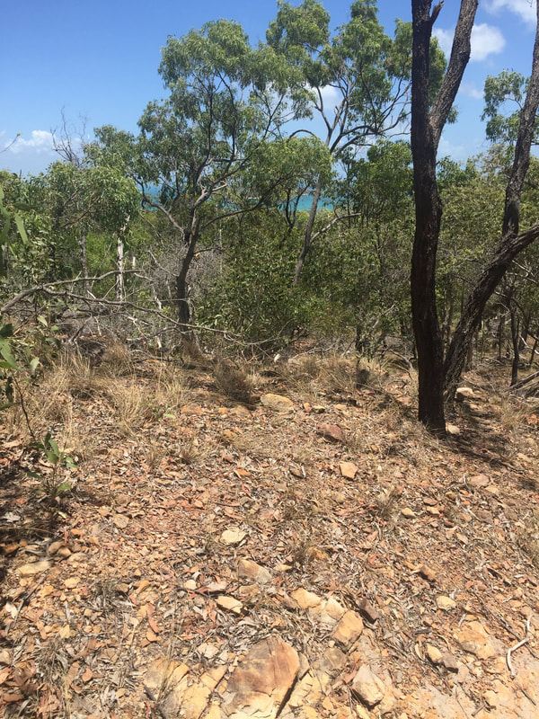
The island itself is beautiful and the beaches of which there are 17 boast pristine white powdery sand lapped by turquoise waters, but the neglect is evident. We walked to the top of Mount Wyndham, then ventured to Long Beach on the south side of the Island. We had an enjoyable morning walking on our own followed by some chill time on the beach and a drink at a local shop before the ferry took us back to the mainland. Walking adventures and beaches are what we crave and came to Great Keppel Island to experience, but hopefully a low impact resolution for the resort can be resolved in the not too distant future so that more people can experience this island getaway in Central Queensland.
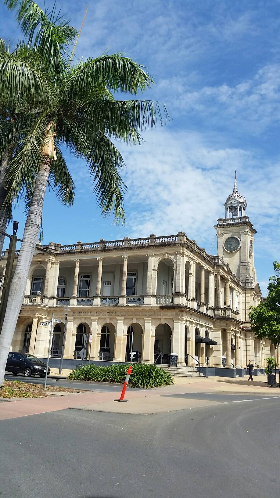
Driving into the city of Rockhampton you come across astonishing amounts of cow statues, just to remind you that it’s the beef capital of Australia. Not a vegan café in site here. Rockhampton was founded in 1858 making it one of the oldest cities in Northern Australia. At a population of 80665, Rockhampton is the industrial and agricultural hub of North Queensland.
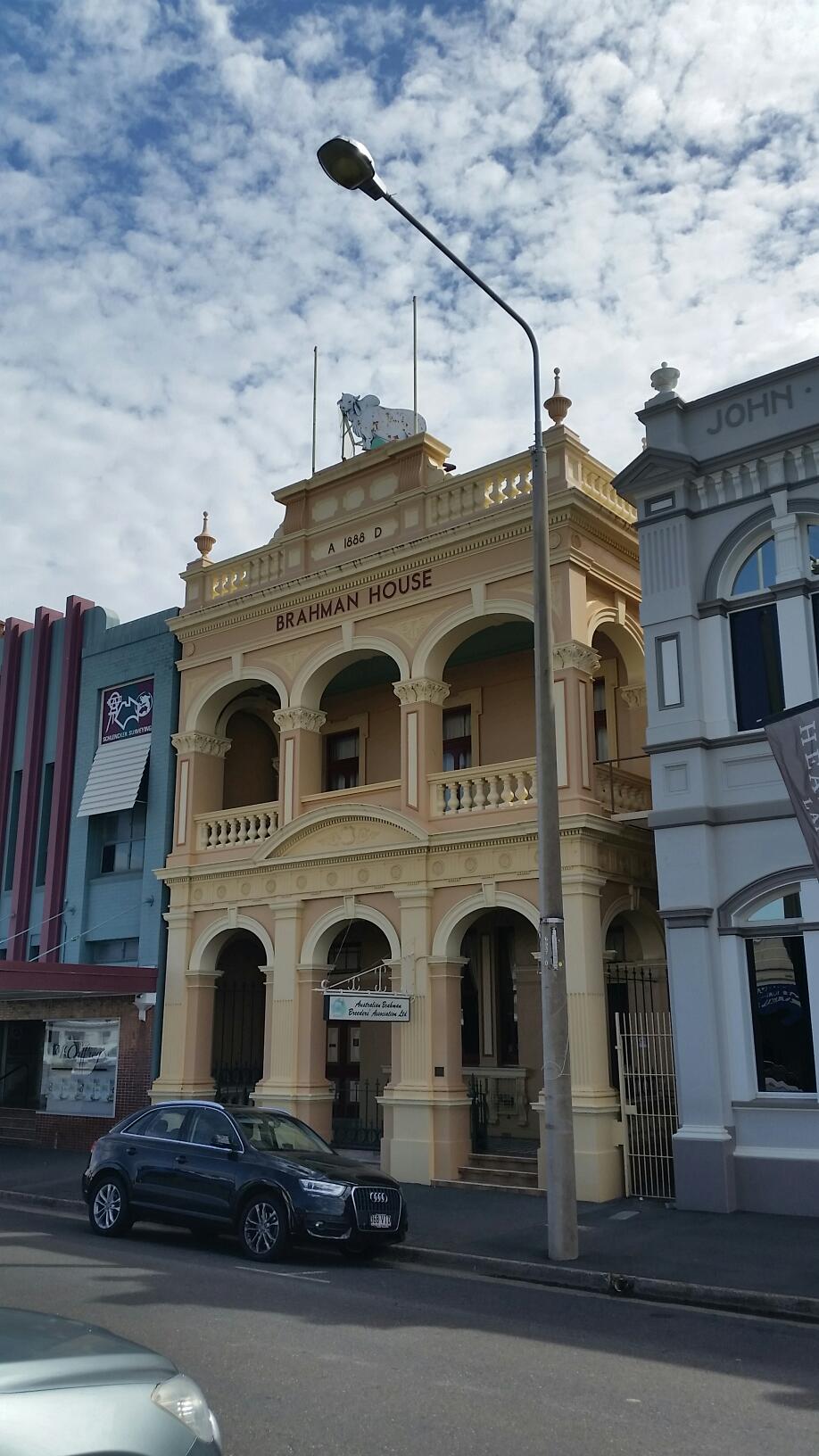
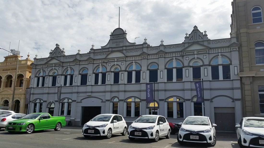
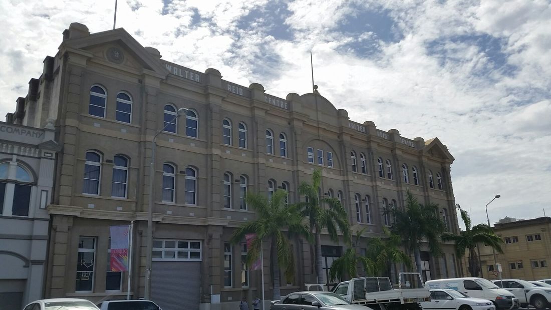
Exploring around the city of Rockhampton we noticed some gorgeous Victorian architecture, which expresses a thriving history of Mount Morgan’s Gold rush era in the 1880’s. We took a run around the botanical gardens, which was just down the road from the caravan park; it was full of rich bird and plant life with a nice stretch of lake on the side. Kershaw Gardens over the other side of the Fitzroy River is another solid effort of Floristry, even under half construction. Being the beef capital of Australia, we thought it would be best to go to Ribs and Rumps and try a steak, a meal you can’t go wrong with in Rockhampton. To be honest we were pretty keen to get to the beaches in Yeppoon, so we didn’t tick all of Rockhampton’s “to do list” but the gardens and architecture were quite a charm. A few too many Bunnings, Stocklands and new property developments spoil the country town feel, but a good feed of steak just reminds you that its still there.
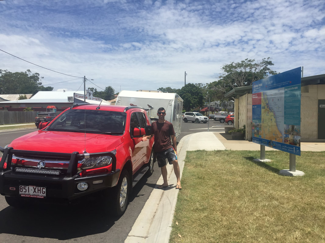
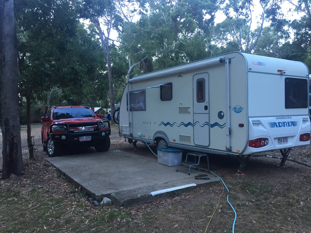
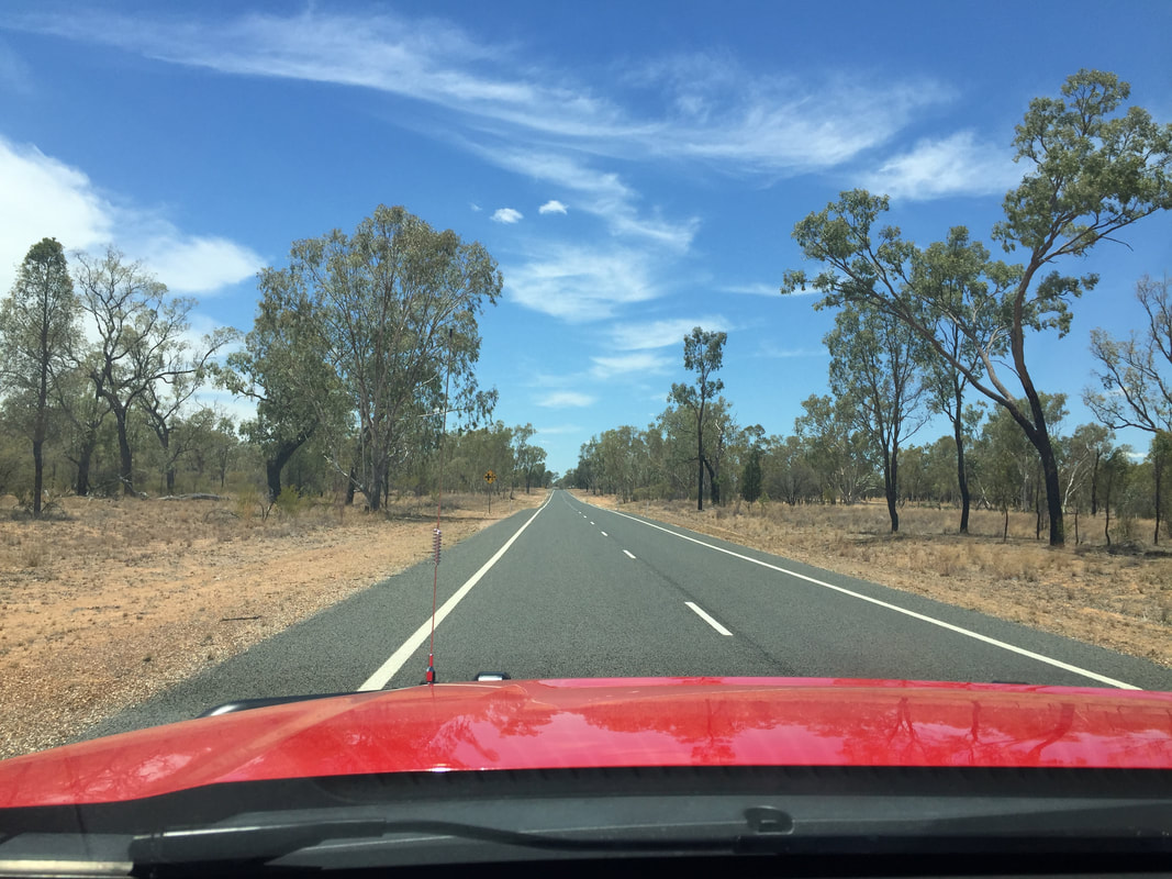
Only a short 270 kilometre road trip along the Capricorn Highway to our next destination, Rockhampton, the beef capital of Australia, passing through the coal mining townships of Blackwater and Bluff.
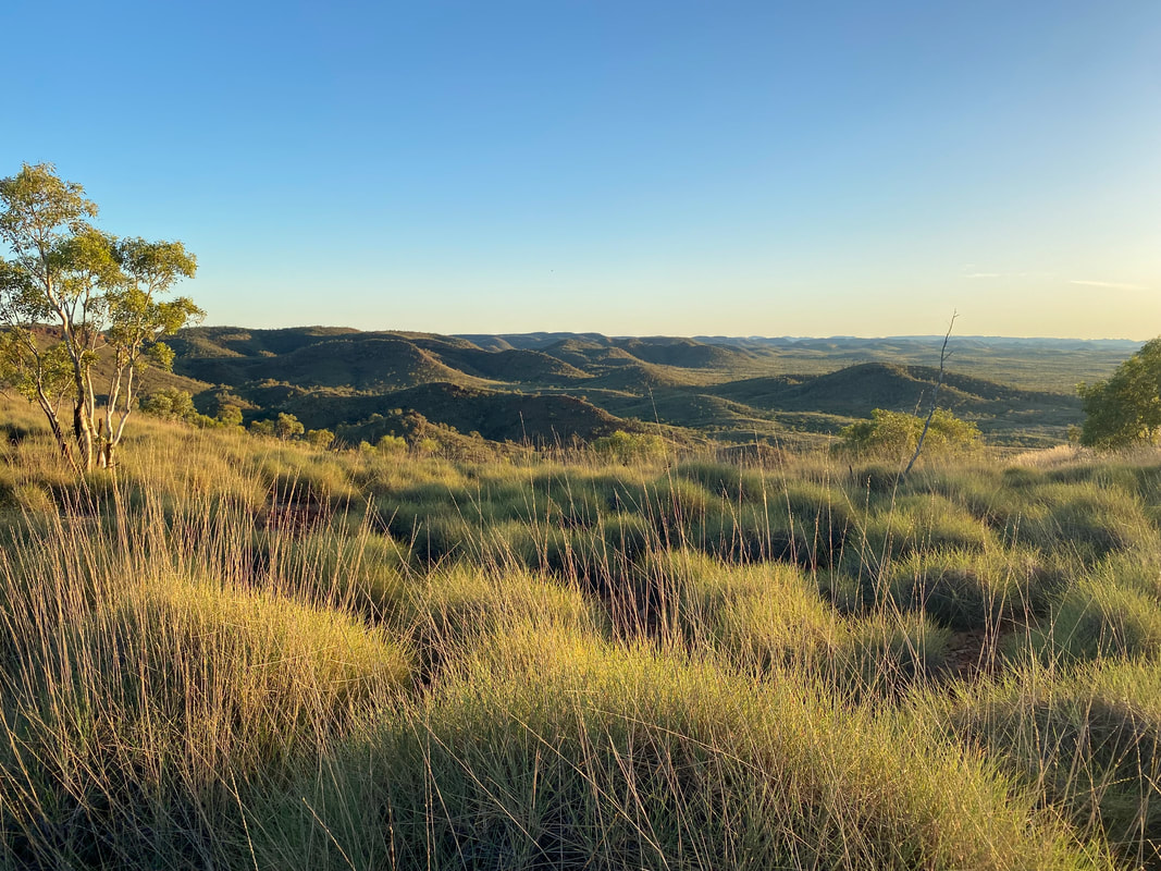
After we stayed a night in Emerald, we decided to leave our caravan Florence behind and drive 3 hours South West to Carnarvon Gorge National Park. Carnarvon Gorge is over 30 kilometres long and 600 metres deep in some areas. It was named Carnarvon by Explorer Thomas Mitchell, originating from Caernarfon in Wales. 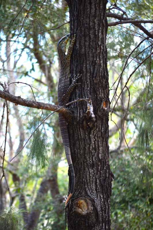 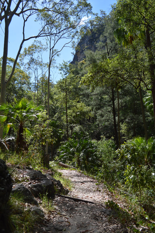 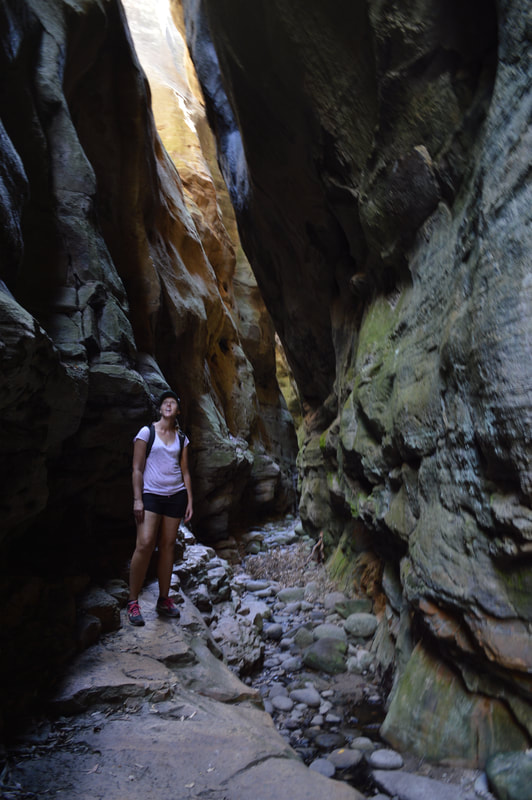 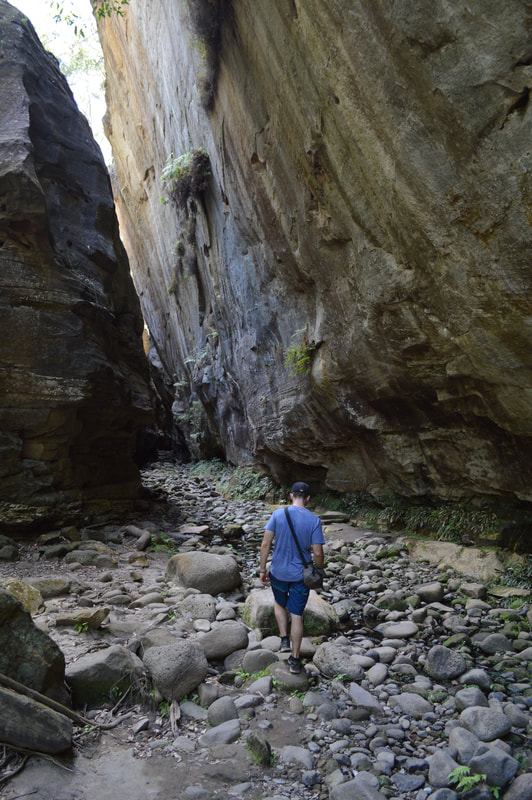 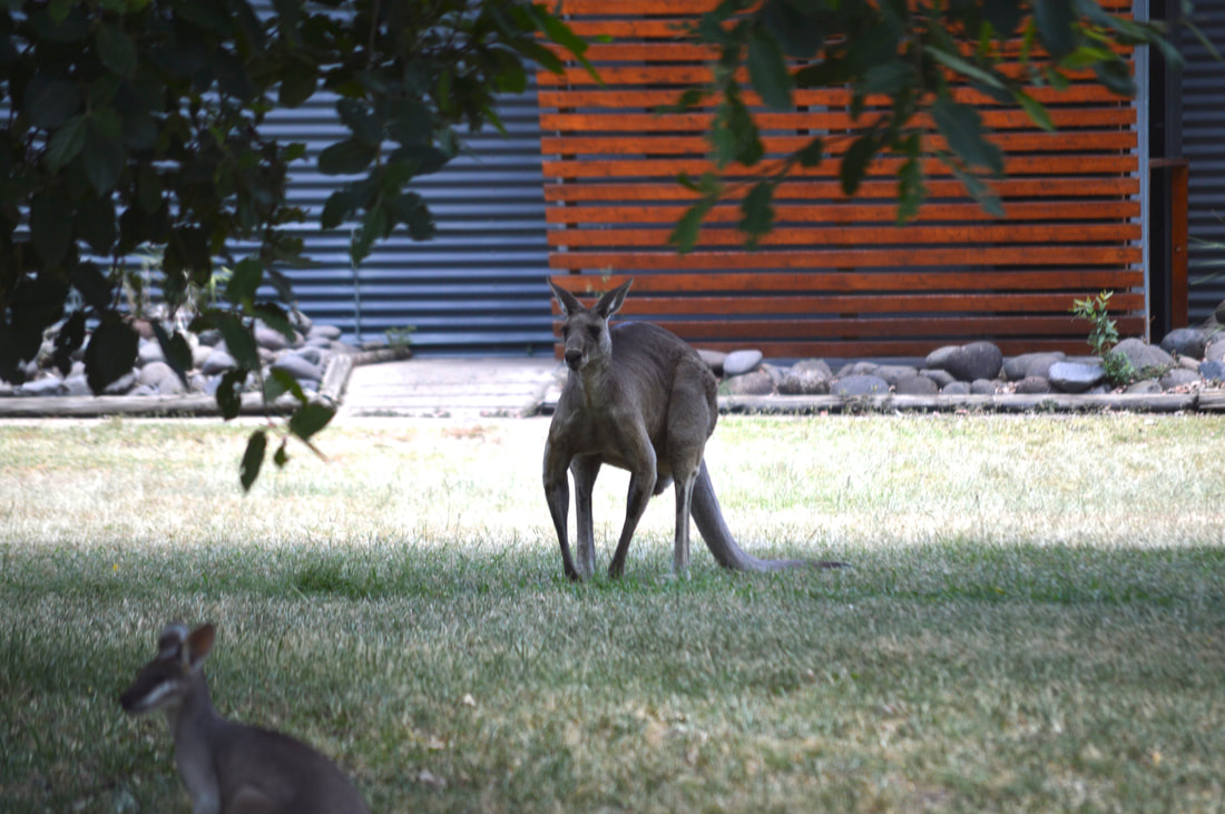 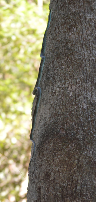  The drive took us through two beautiful small towns, Springsure and Rolleston. The road was sealed bitumen all the way in to where we camped at Takarakka Bush Resort, the only area available to camp in the off peak season. We set camp and sat down to eat lunch in the camp kitchen, finding ourselves spoilt with native wildlife. Kookaburras expressing themselves vocally, kangaroos eating, relaxing and sharpening up their boxing skills while wallabies follow suit. A Sand Goanna was also keeping an eye on all the action in a tree near by. 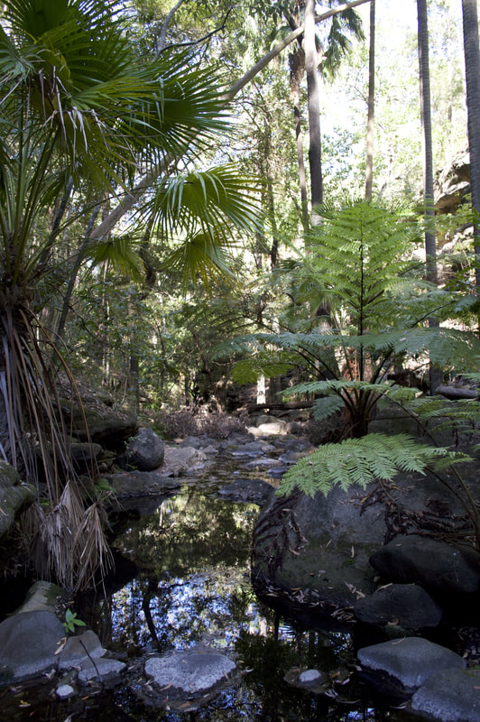  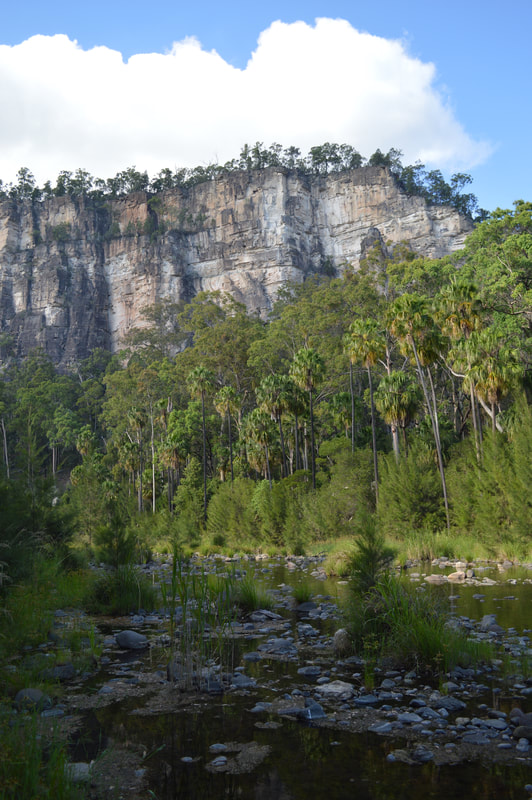 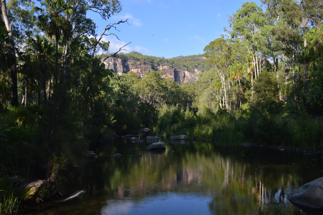  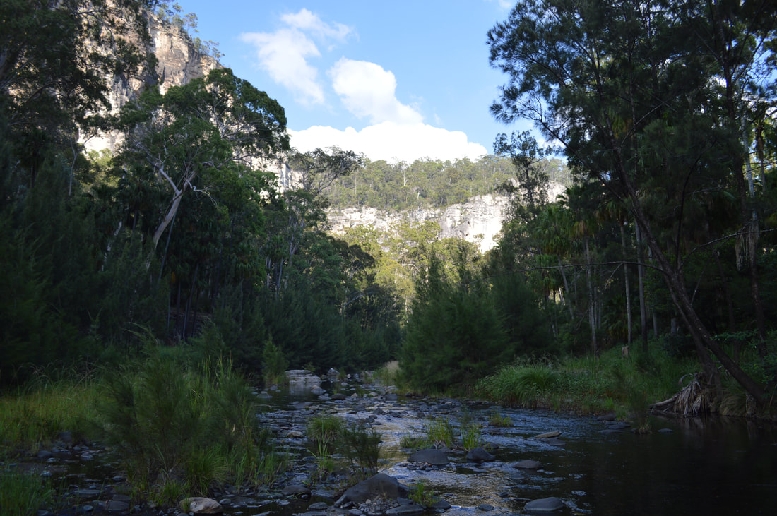 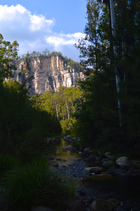 With excitement of rocky ranges, flowing water and wildlife, we decided to get a bushwalk in before sunset which led us to look at Mickeys Creek and Warrumbah Bluff. Mickey’s Creek is a 3km return walk, pleasantly shaded by large tree ferns and impressively high cliff edges. On the walk we encountered a Tree Snake and the Keelback both stunning to look at from a distance, later knowing they are both non venomous. The track ends into rocks and then brings you too a defile that is only metres wide but 40 metres deep. 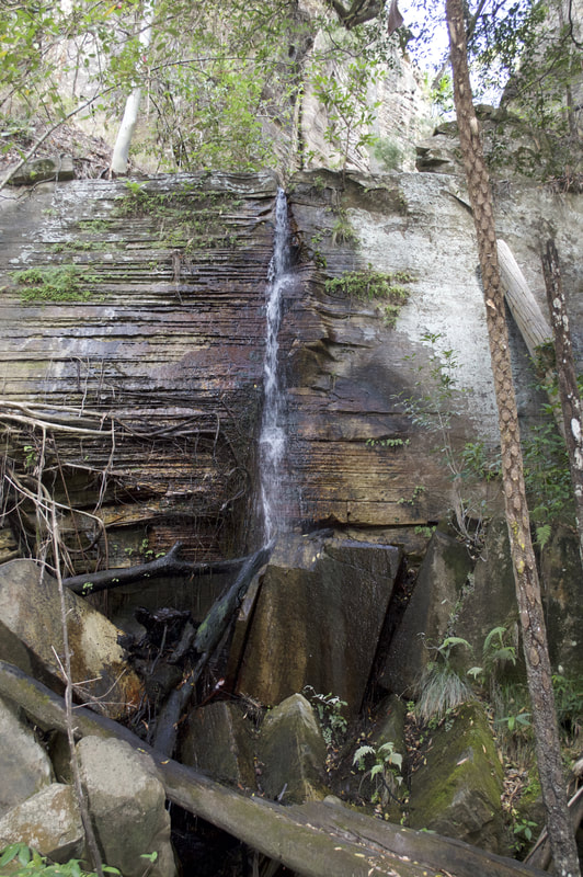 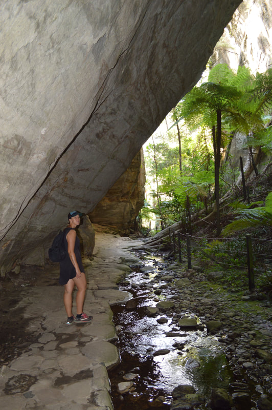 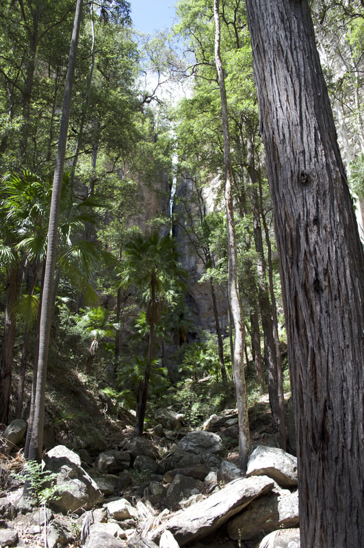  The next day we got up with the sun and hit the main 14km walking track, this took us to four beautiful areas of the Gorge named the Art Gallery, Ward’s Canyon, Amphitheatre and Moss Garden. The main track takes you to all of these turnoffs and takes you through 7 river crossings, you cross 14 of them by the end of the day. 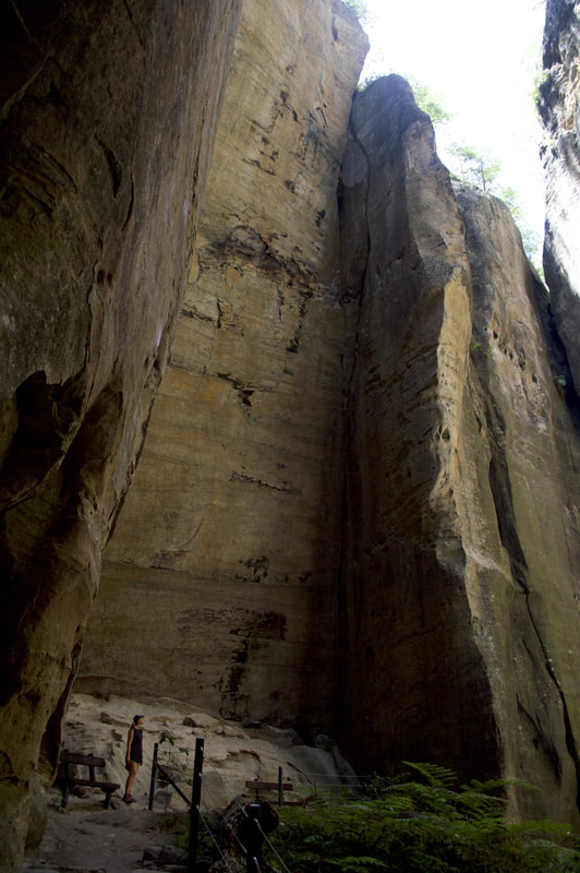 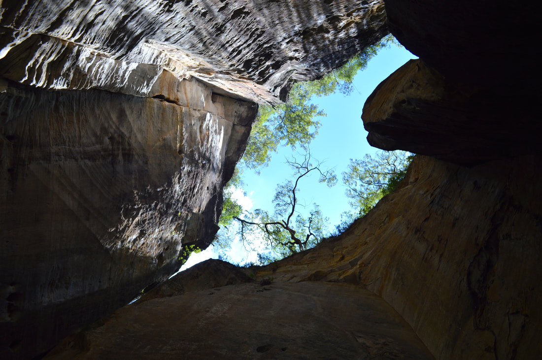 The Art Gallery is a sacred burial site of the Bidjara and Karingbal peoples. The paintings were outlined hands with ochre and drawings of the tools used for hunting and defence like the highly regarded stone axe and the fishing net. Carvings in the wall also symbolised the spiritual Mundagurra rainbow serpent and Indigenous Women on the land. 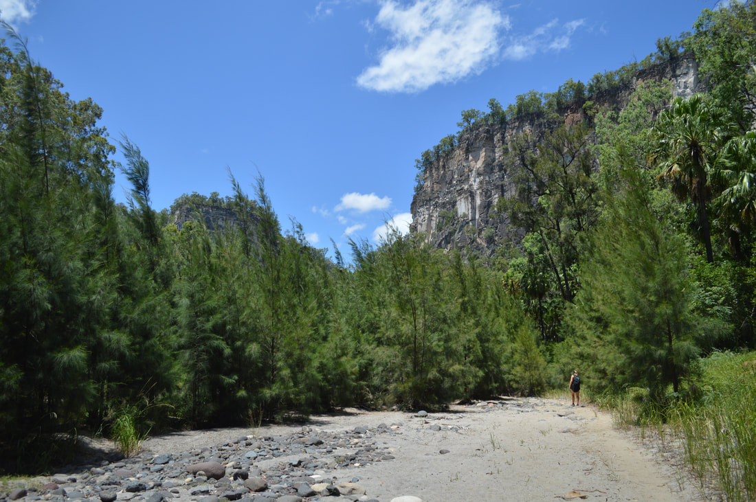 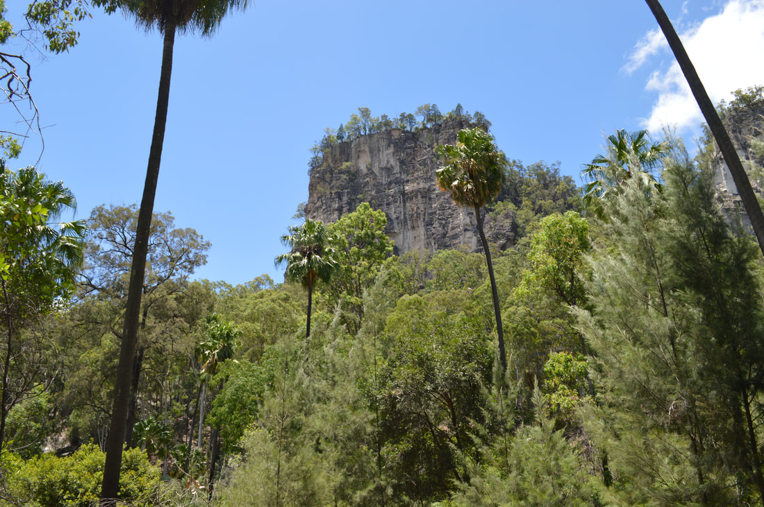 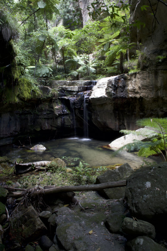 Ward’s Canyon was a staircase that took us past a pleasant slow trickling waterfall, which took led us to a large density of King Ferns, which are extremely rare to inland Australia. The Amphitheatre was a three story ladder climb, looking back you can see the open surroundings of Carnarvon, going forward you walk through a cave and out to an opening of surreal cliff faces. Looking up inside the Amphitheatre makes you feel well underground with it’s hugging walls and natural skylight. 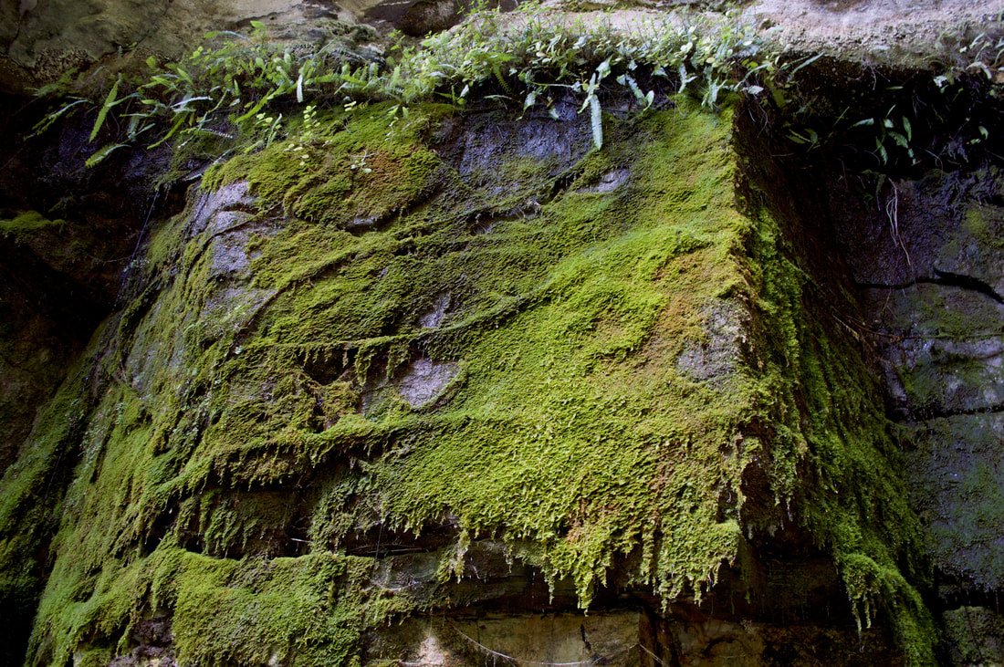 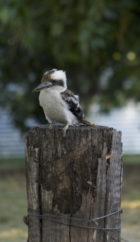
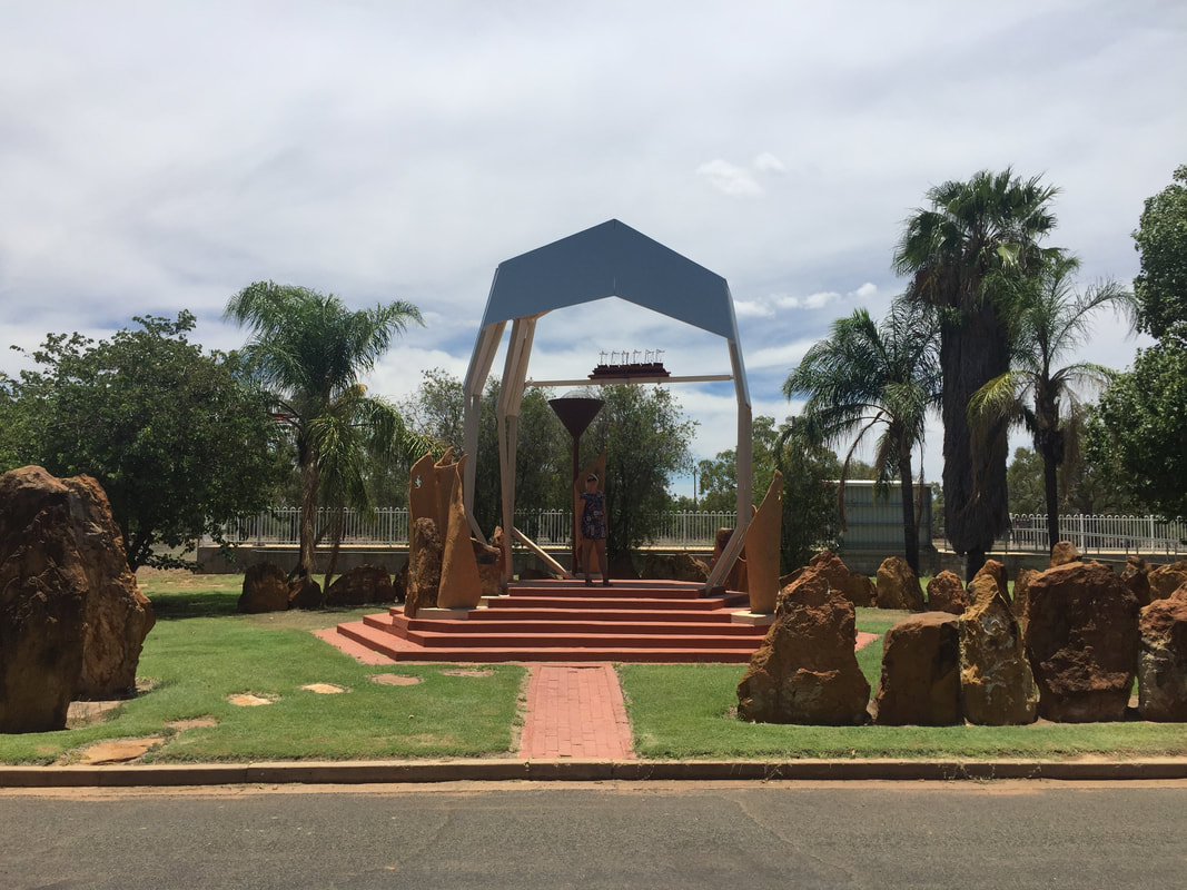
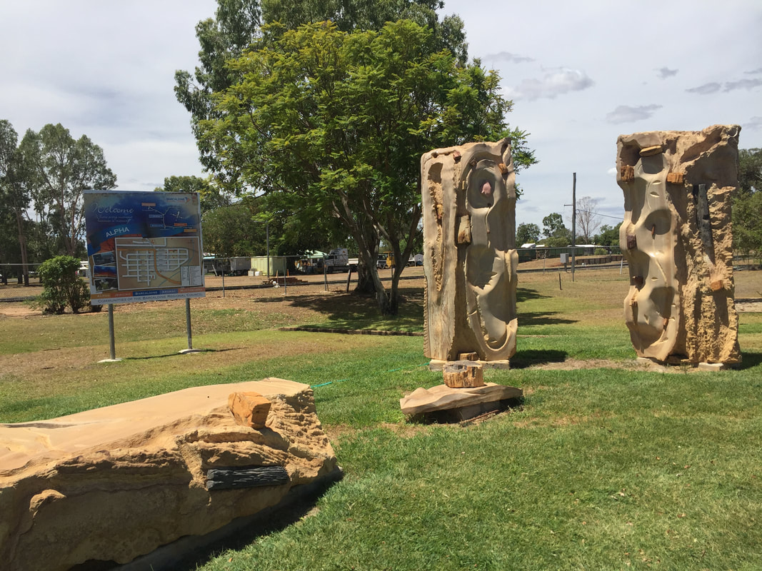
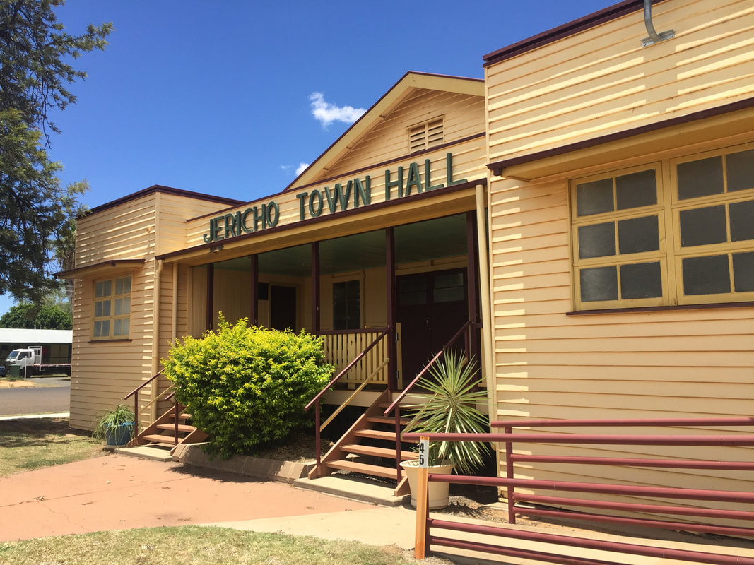
The walking trail concludes with Moss Garden, it’s filled with sheer greenery and crystal clear running water. Lines in the wall show the different layers formed over the years, a horizontal opening in the wall runs some of the purest water into the river, being filtered by all the layers in the ground. The two nights in Carnarvon Gorge were amazing, laying in the back of the car and falling asleep to the soundtrack of the wildlife makes you appreciate simple living. There’s nothing more therapeutic than the walking tracks, we look forward to finding many more. The 416km stretch of the Capricorn Highway that runs parallel with the Tropic of Capricorn had us passing through the towns of Ilfracombe, Barcaldine, Jericho and Alpha to reach our destination of Emerald.
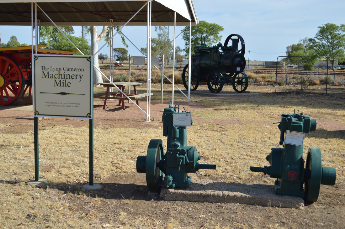
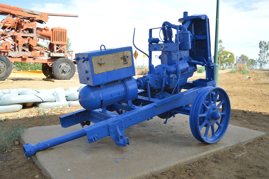
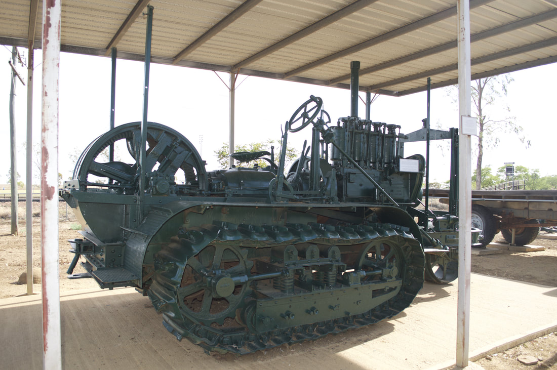
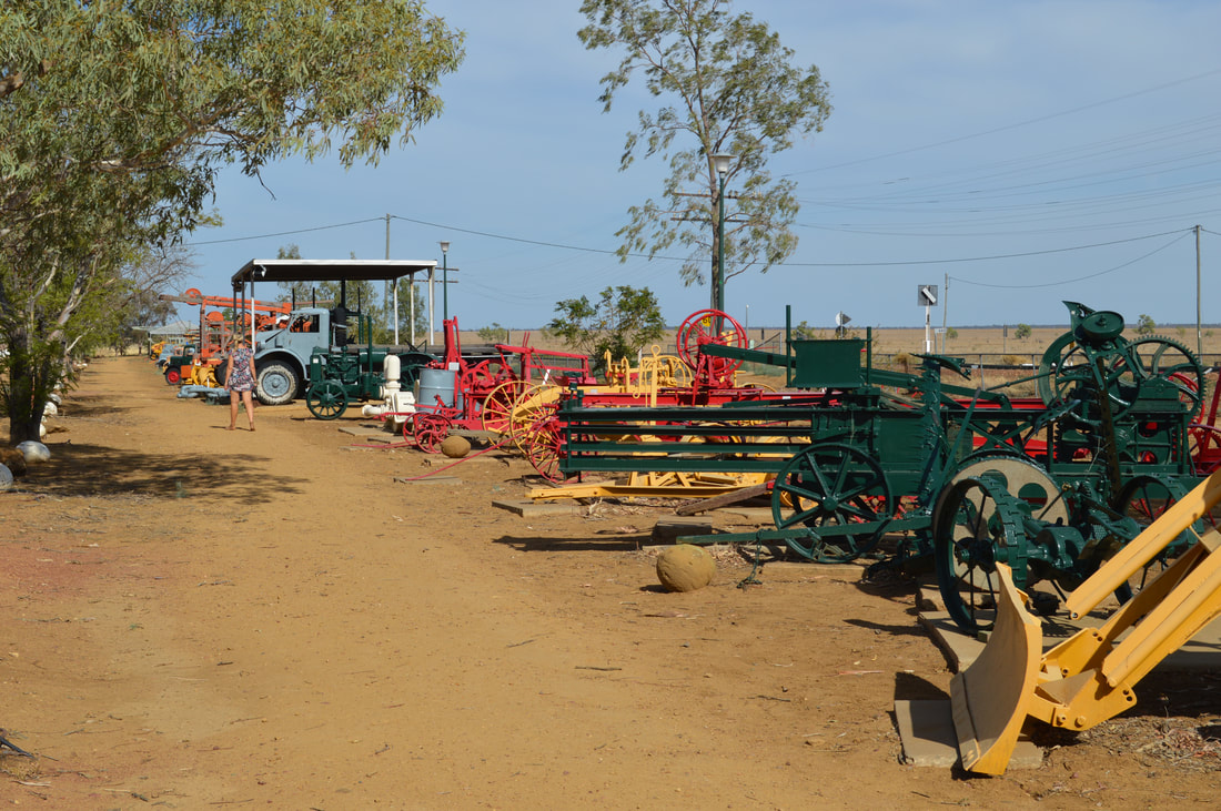
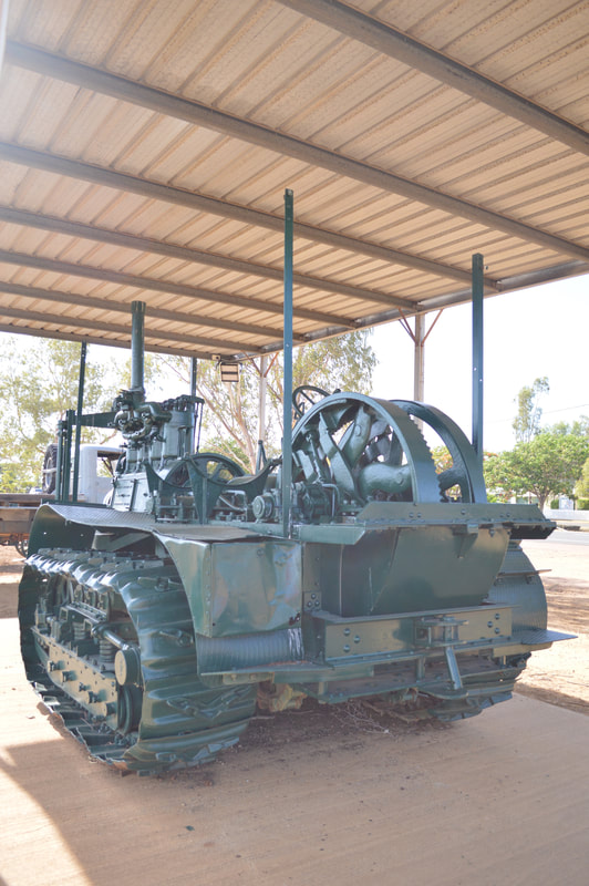
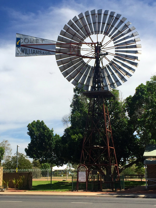
At Ilfracombe we were enticed to stop and wander the Machinery Mile, which included a 1917 Ruston Kerosene Tractor the precursor to the Caterpillar Tractor, one of only three in the World. It was used in the construction of the Longreach to Winton railway line in 1925. 
In 1891 under the 'Tree of Knowledge' a Eucalyptus Tree the Australian Labour Party was first formed, emerging from industrial action taken by the men and women of the Shearing industry who rallied for better working conditions. The Henry Lawson poem, 'Freedom on the Wallaby' was written during this time in commemoration of the strike. The 'Tree of knowledge' is located outside of the railway station at Barcaldine a beautiful town, well worth the visit. 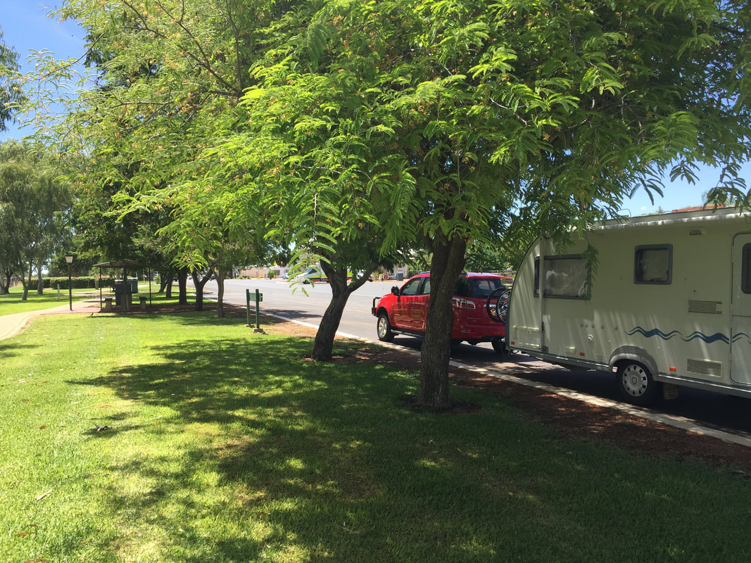
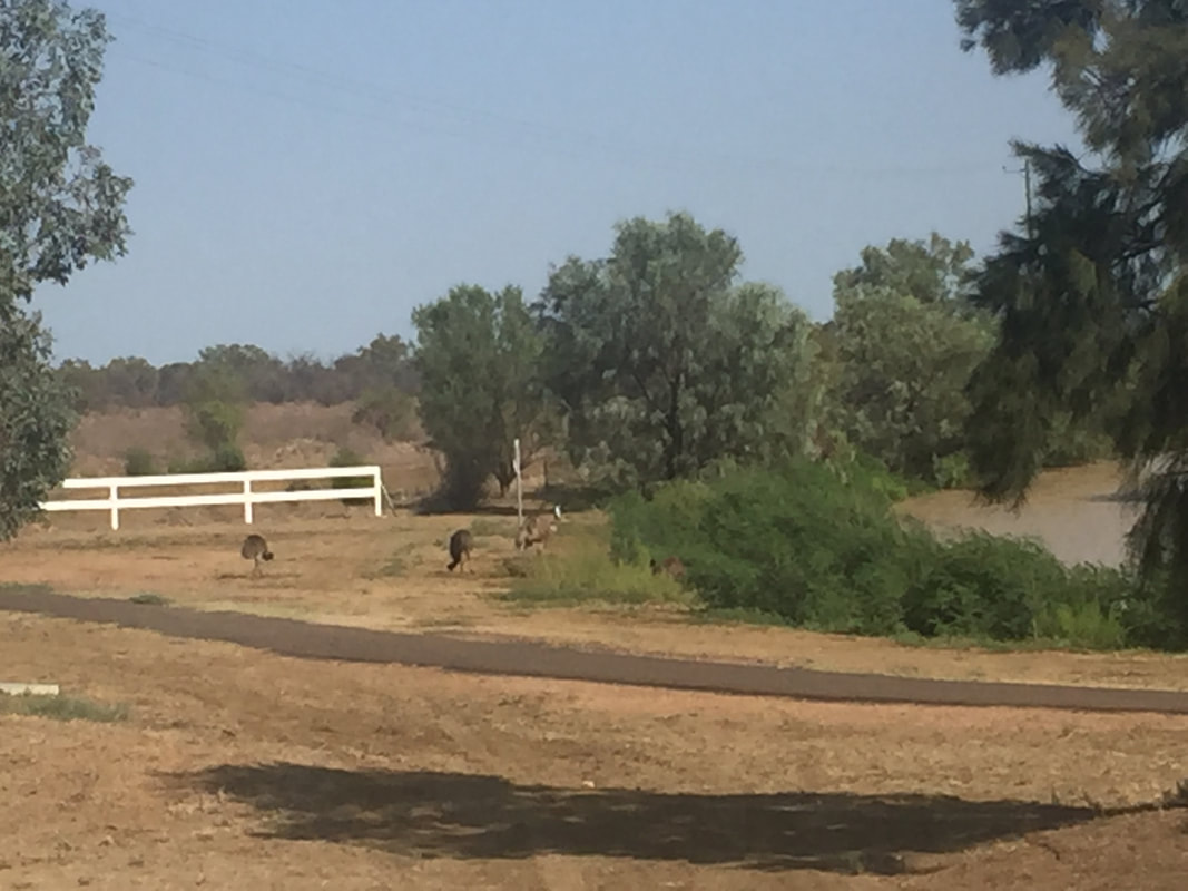
The Iningai people are the traditional owners of the land and this Nature Reserve located only a few kilometres out of town has been created in their honour in an effort to respect the land and showcase the area's natural flora and fauna.
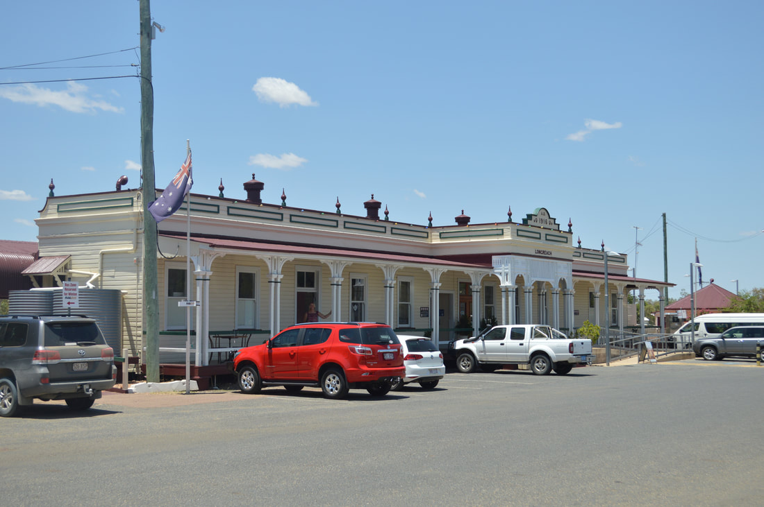
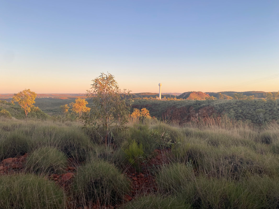
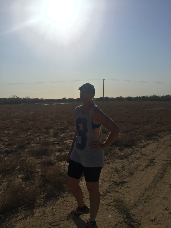
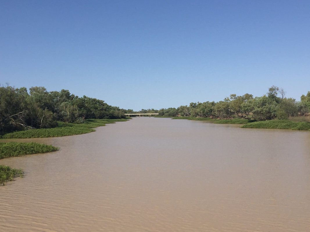
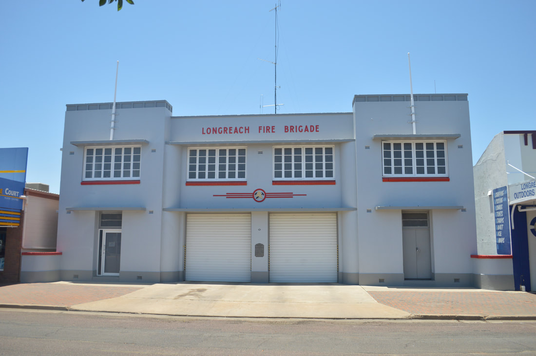
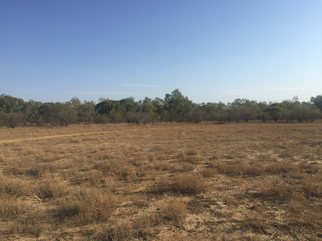
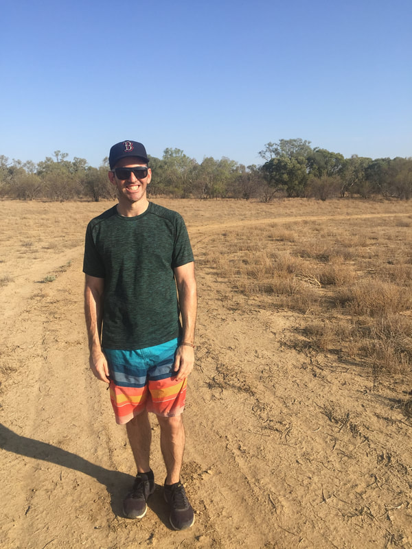
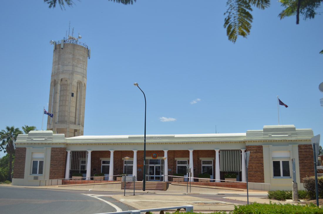
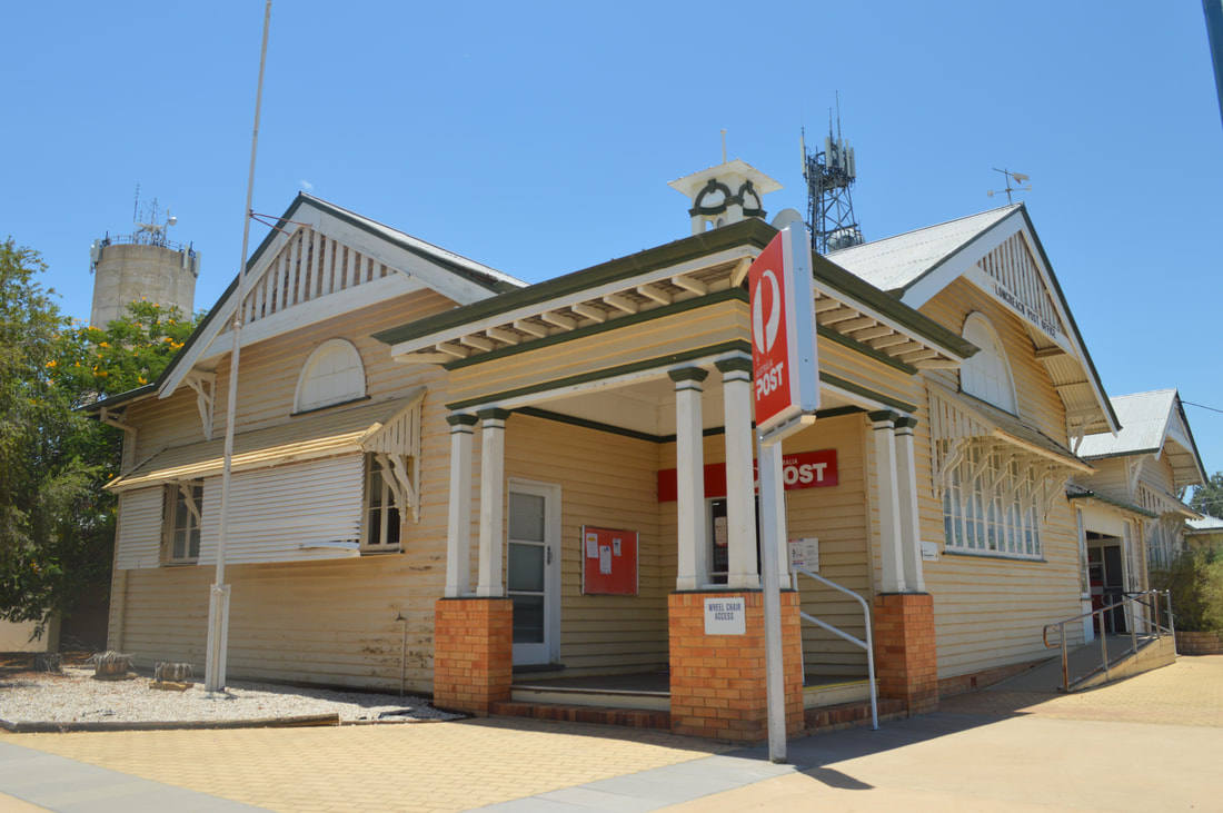
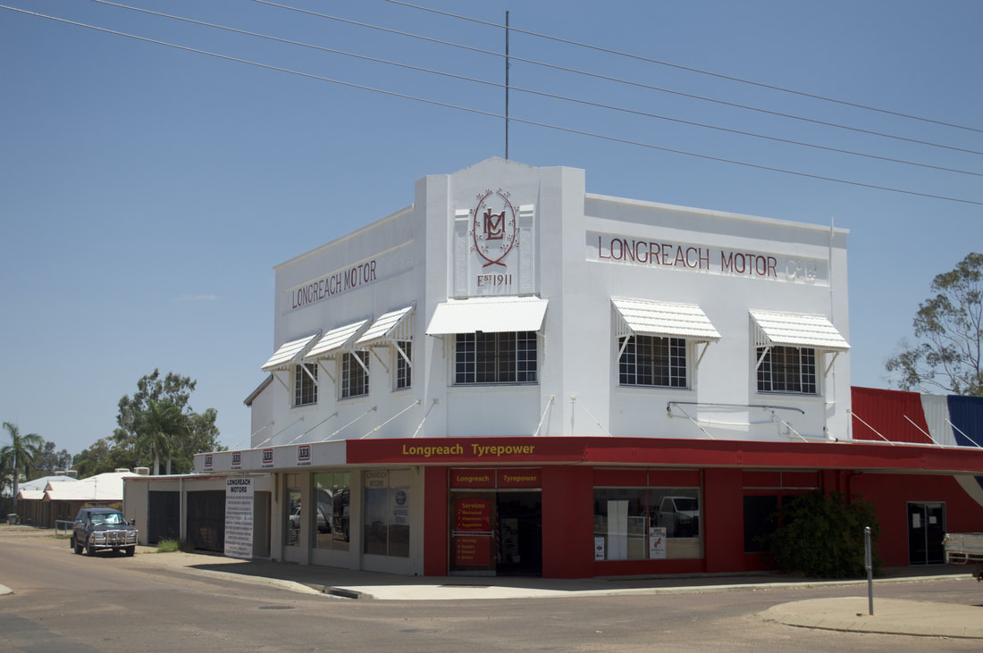
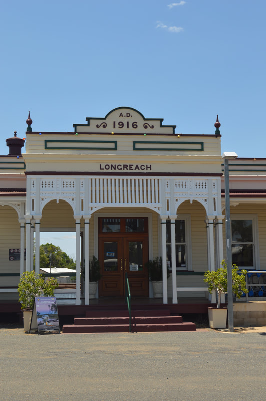
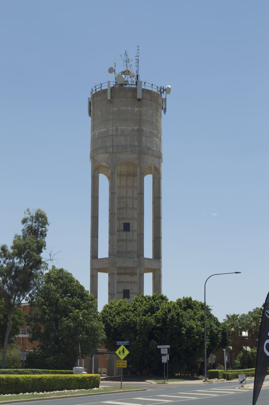
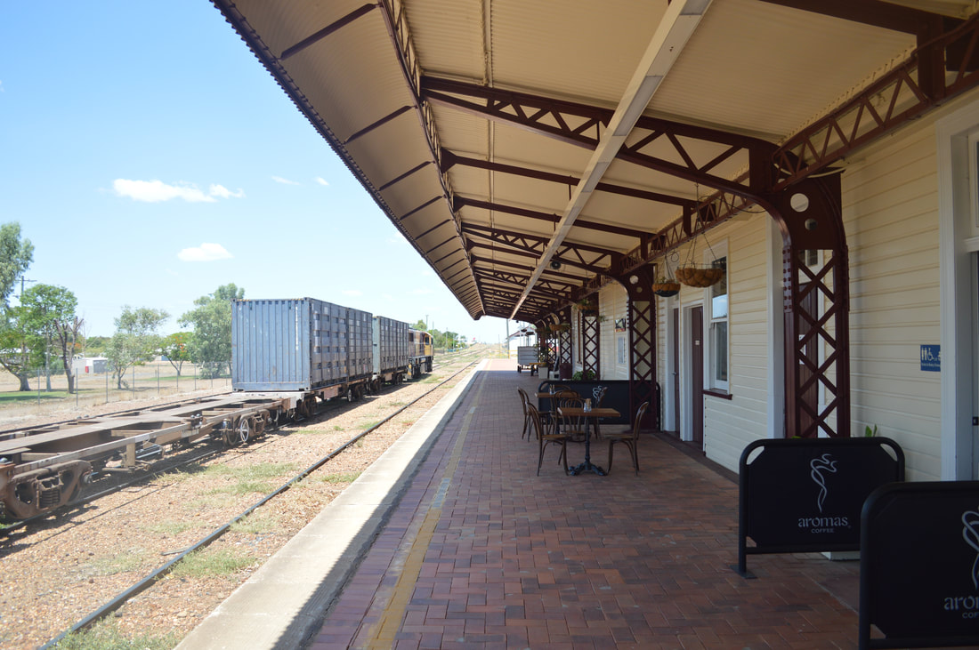
The long reach over the Thomson River is how Longreach received it's name. The river was named in 1847 by explorer Edmund Kennedy in honour of Sir Edward Deas Thomson. We first heard about Edmund Kennedy on a walking track in Mission Beach (Edmund Kennedy Track). The river is a life source in this outback town, situated about 700 kilometres from the east coast as it consistently flows with a slight gradient towards the Lake Eyre Basin in South Australia. Walking through the business centre of Longreach creates a pleasant vibe, its a very relaxed atmosphere. Older original buildings like the water tower, fire department, railway station and the old local car dealership have been well looked after over the years, small businesses along the main street and well manicured gardens give you a sense of pride taken in the town. We explored around the tracks in the Iningai Nature Reserve. The track is fully dirt, with foot holes deep enough to know that it could be a little unforgiving in the wet season. There are several tracks, but the one we took journeyed us alongside riverbeds, coolibah trees and iconically Australian wildlife. Theres nothing more in sync with nature than running on the flat open plains of outback Queensland, it also gives you an appreciation of water too.
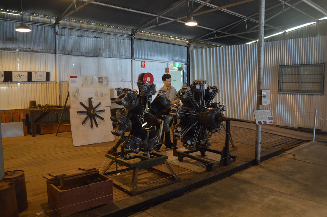
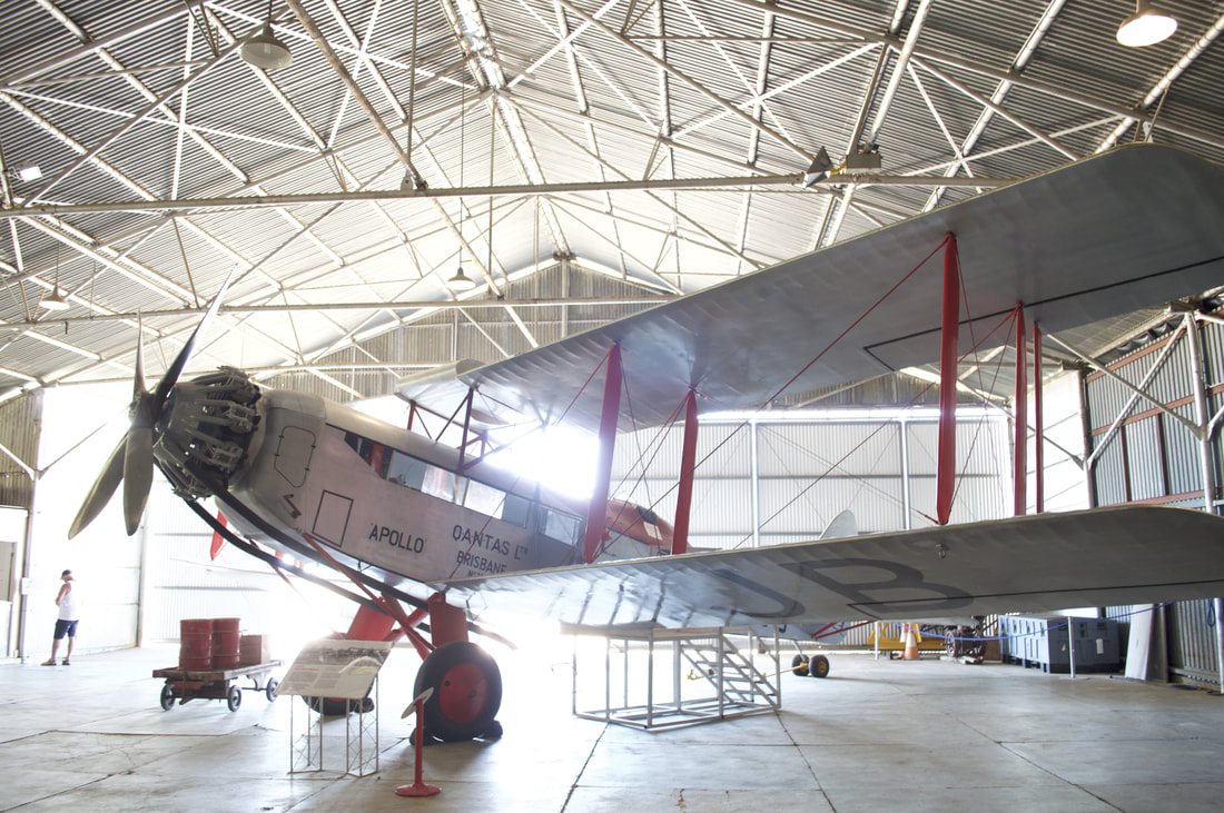
 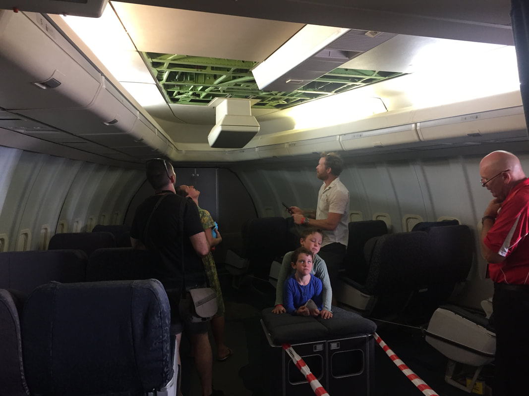 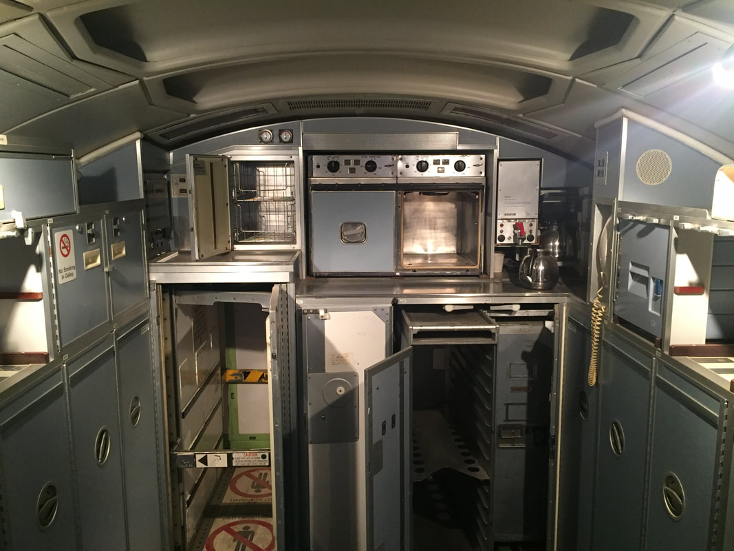 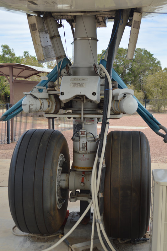 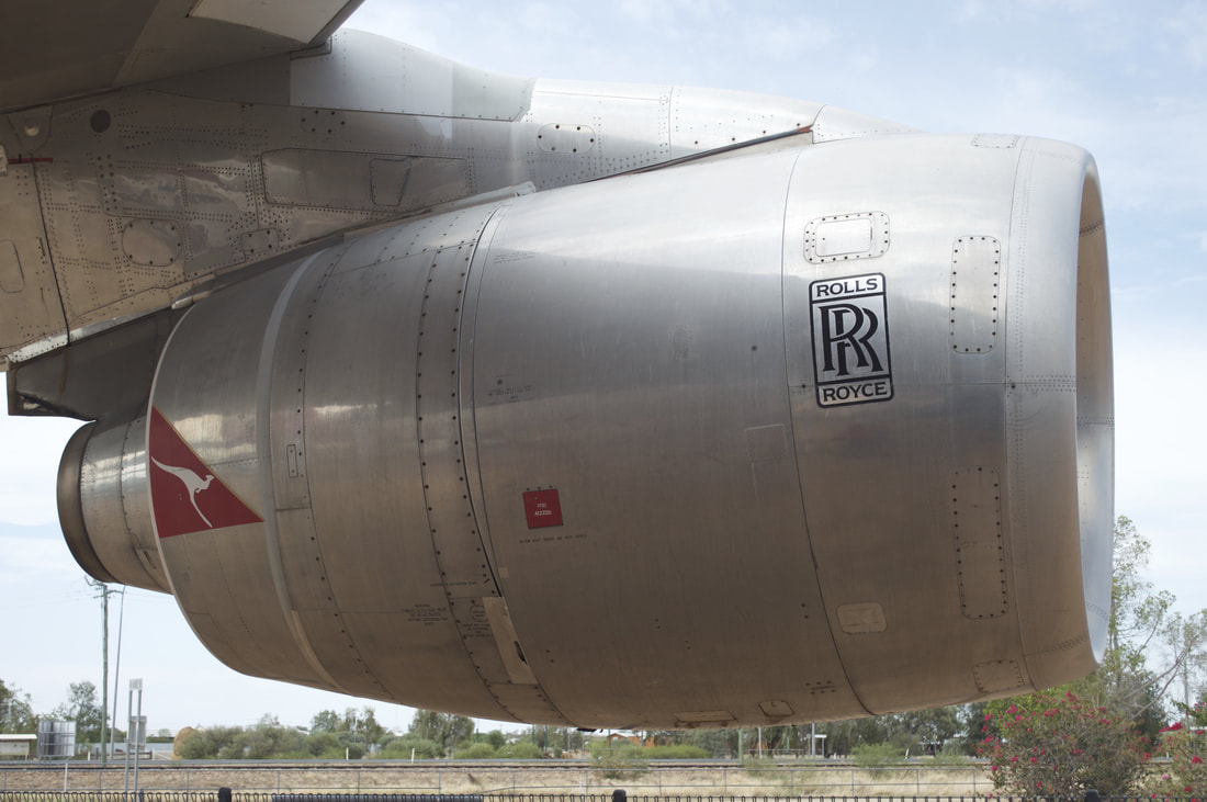   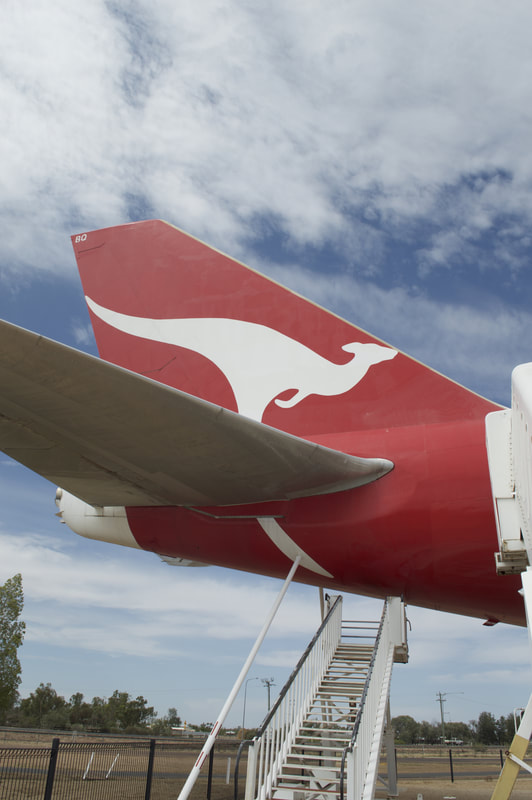         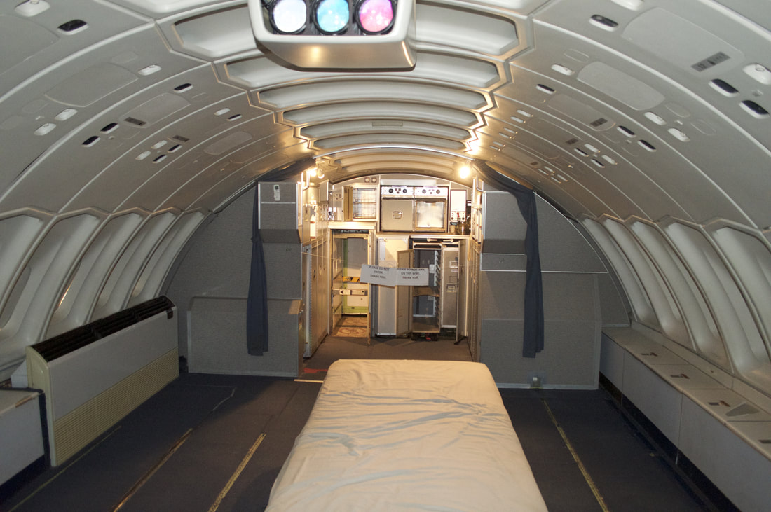    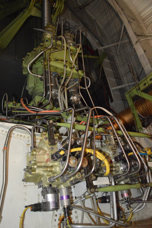      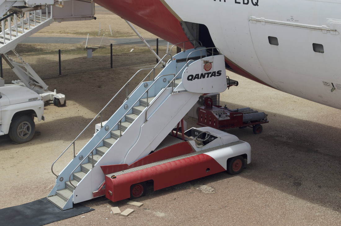   The "City of Bunbury" was landed in Longreach on 16th of November, 2002. This 747 was named after Bunbury to mark the 150th anniversary of Western Australia. The city of Bunbury went into commission on 10th of December 1979 until its last landing in Longreach. During its service it flew over 82.54 million kilometres and clocked just under 20000 landings. Most of the Aircraft's life was with Qantas, while doing some time with Air Pacific and seeing out the end of its service with a Bali bombing rescue flight in 2002.
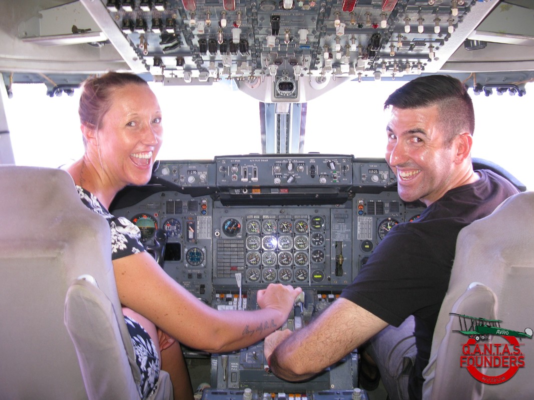
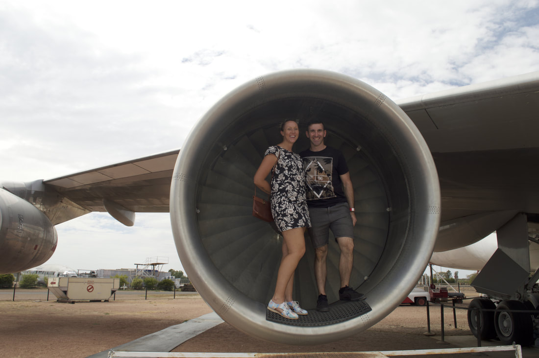
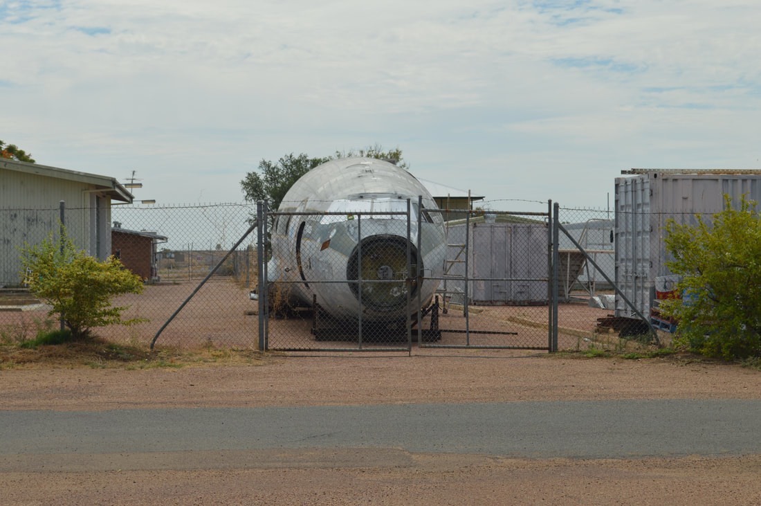
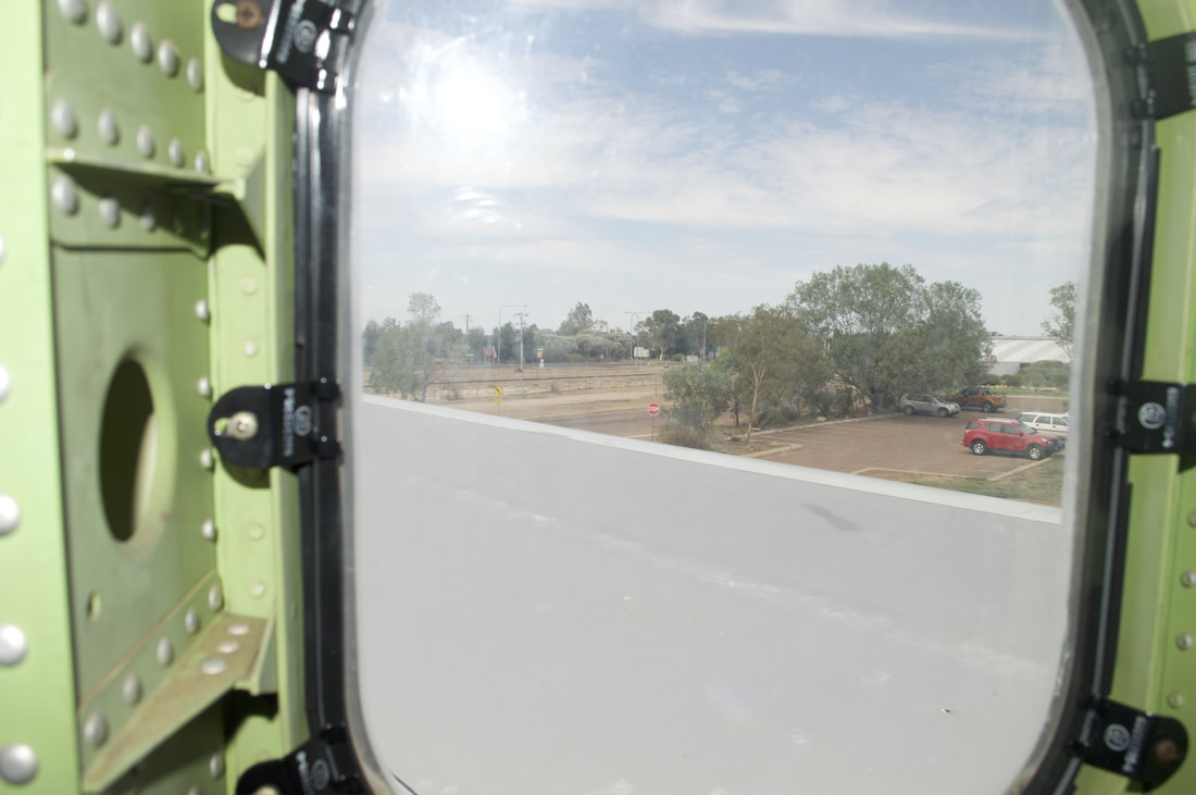
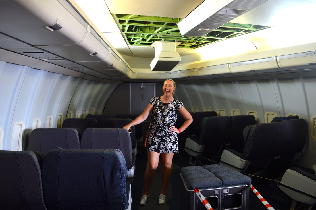
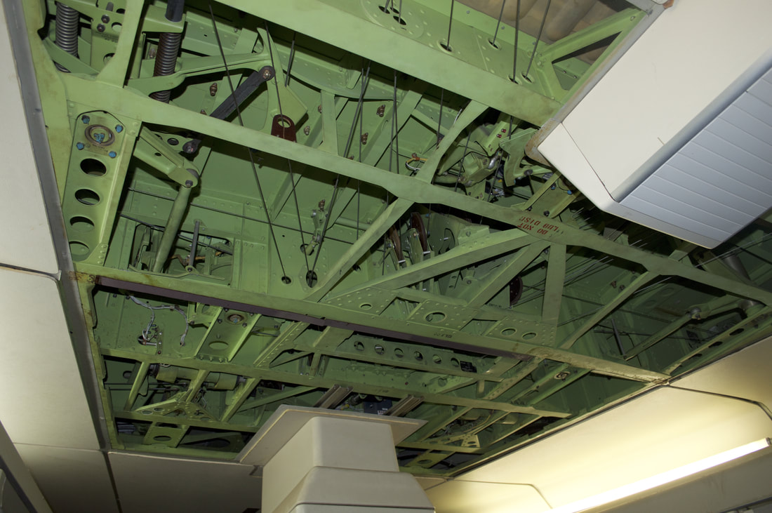
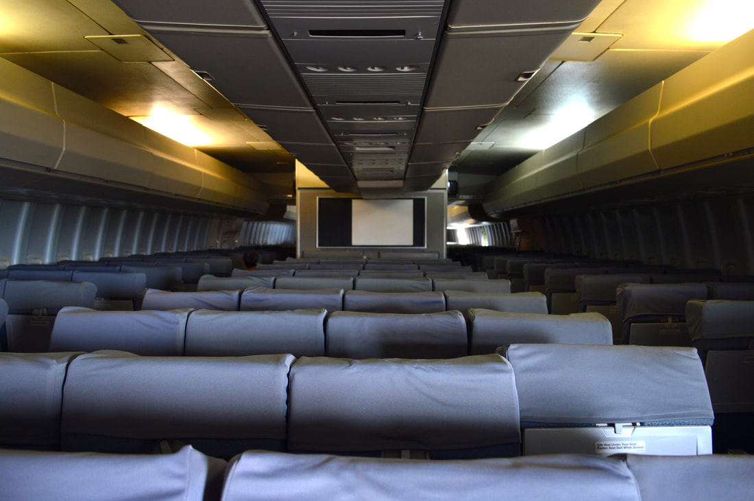
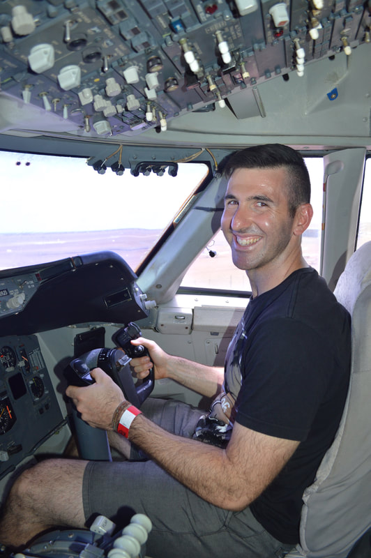
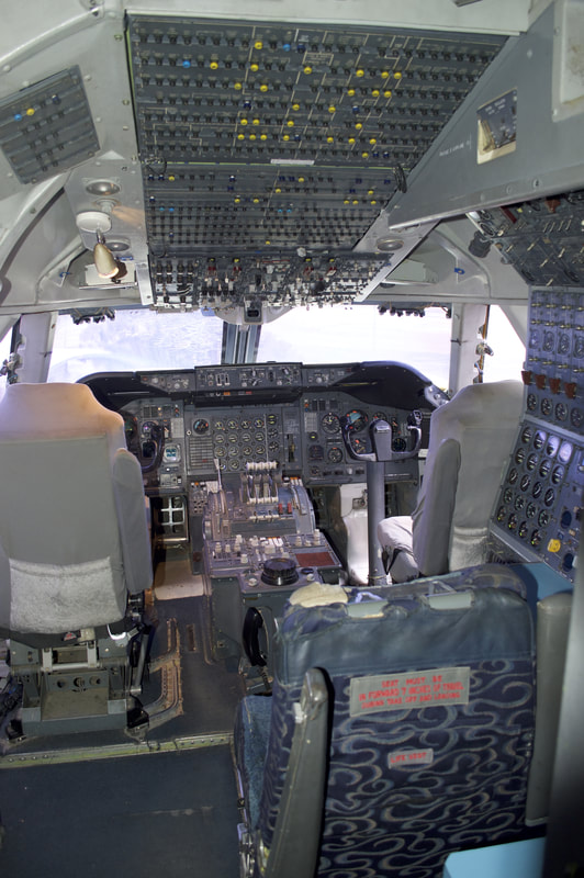
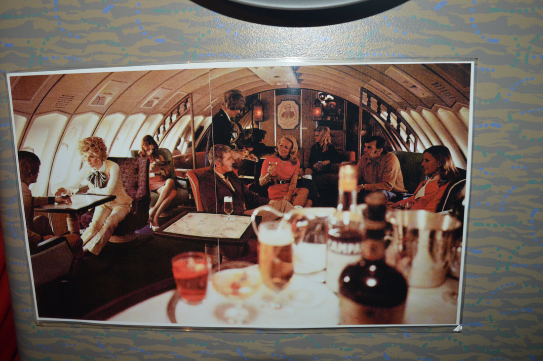
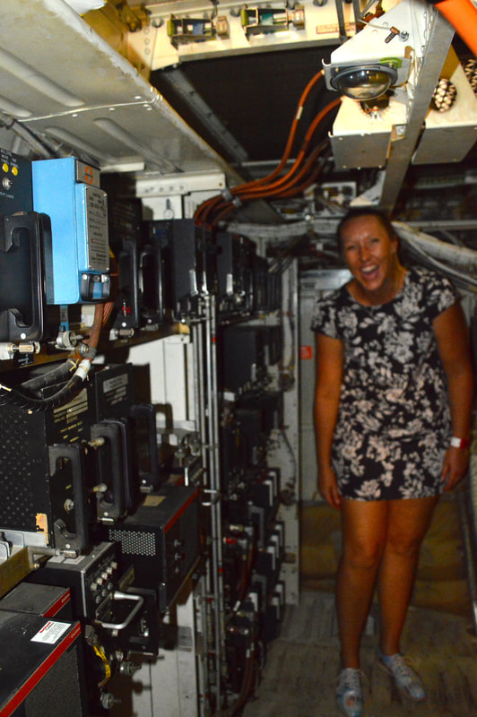
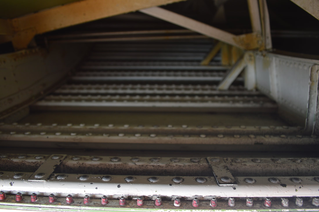
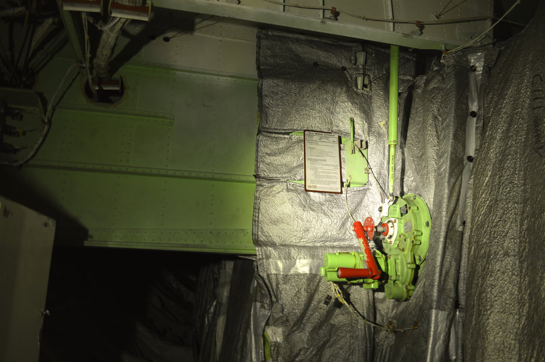
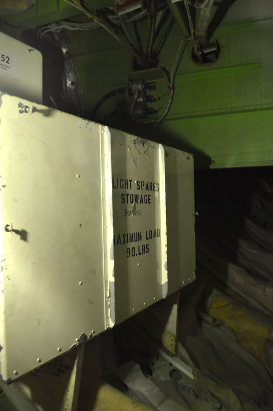
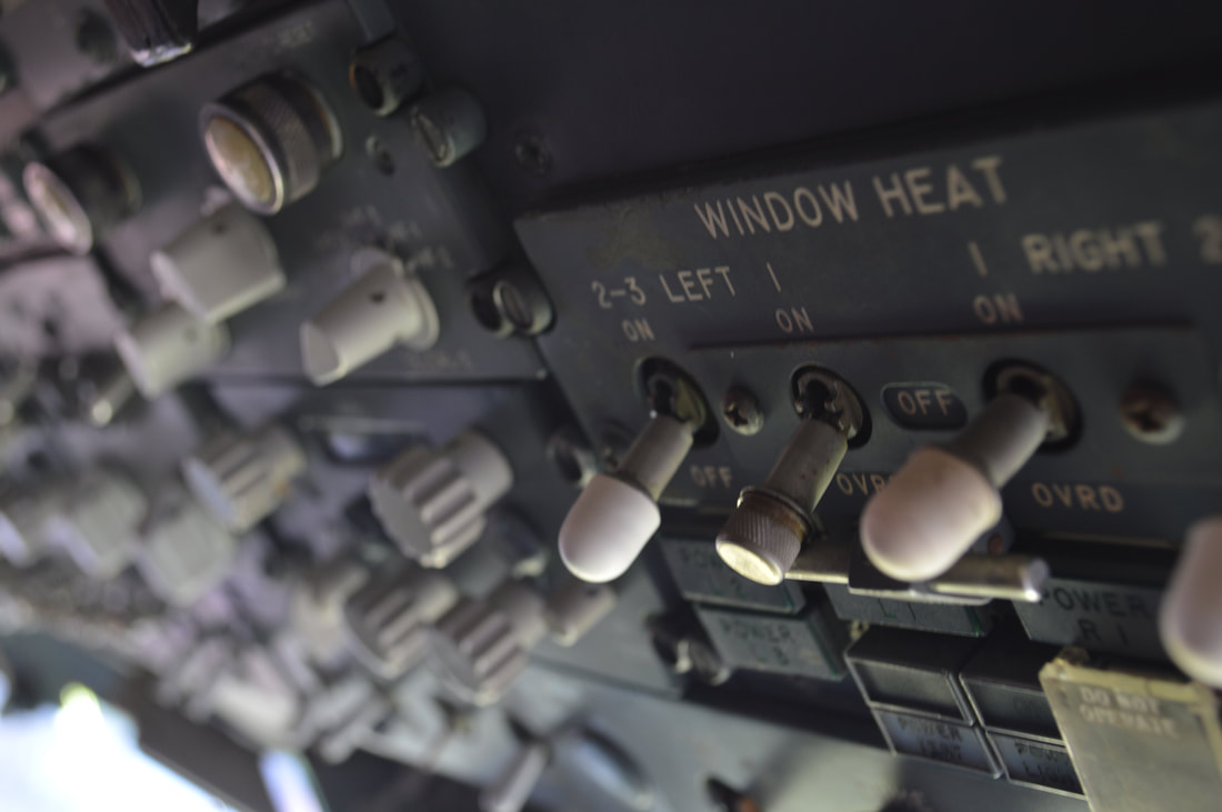
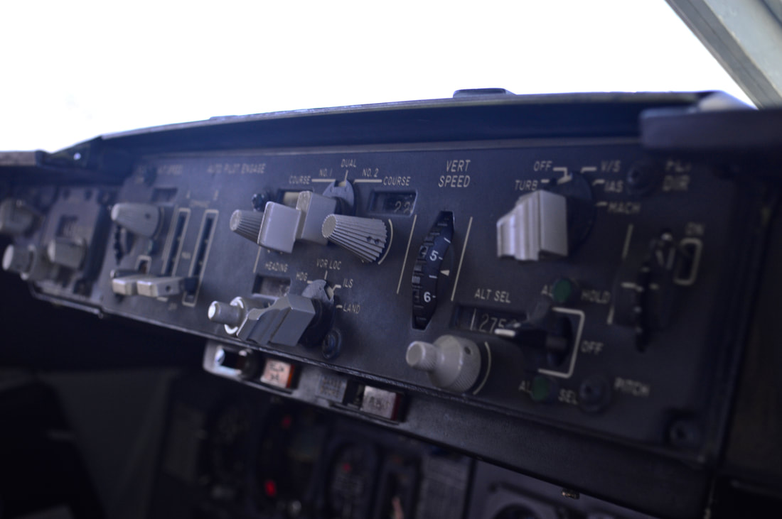
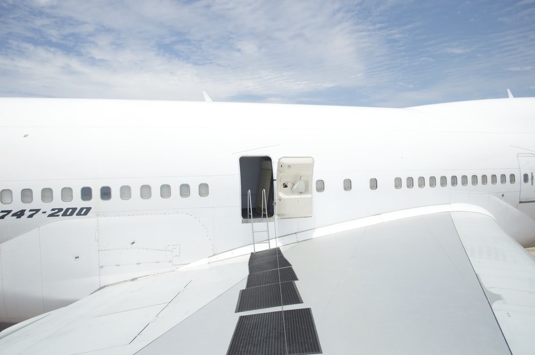
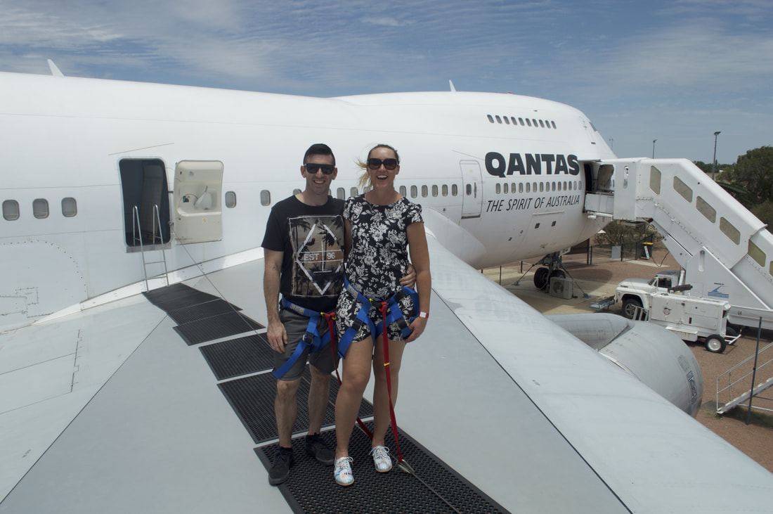
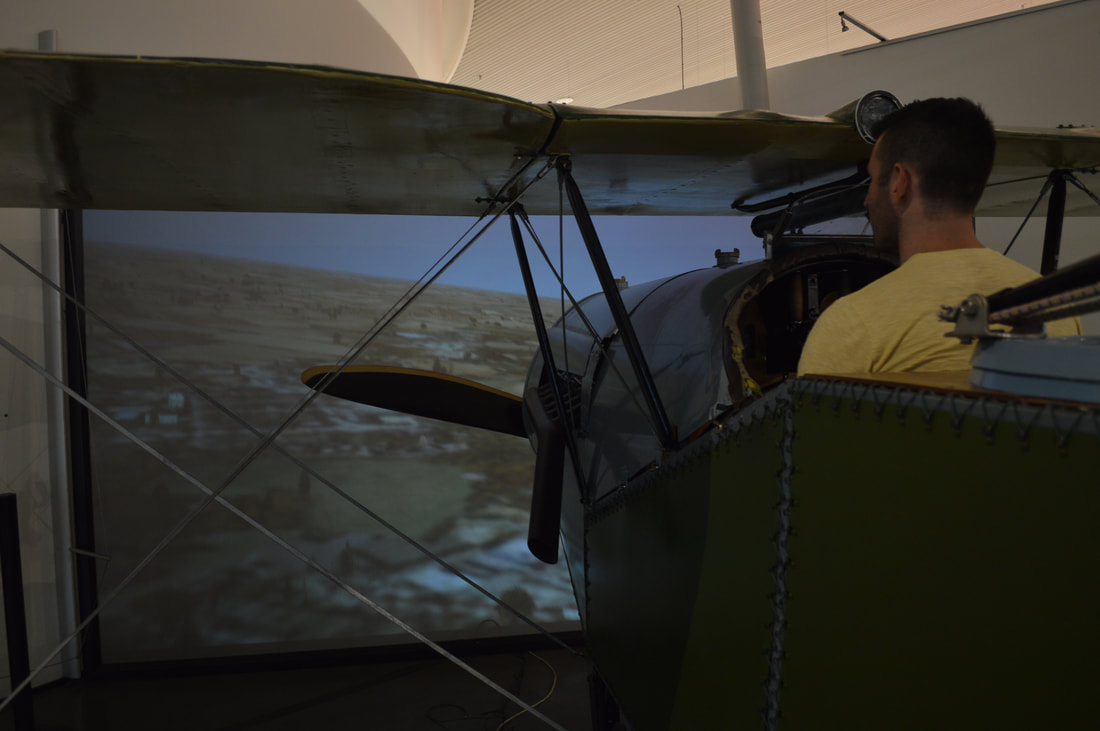
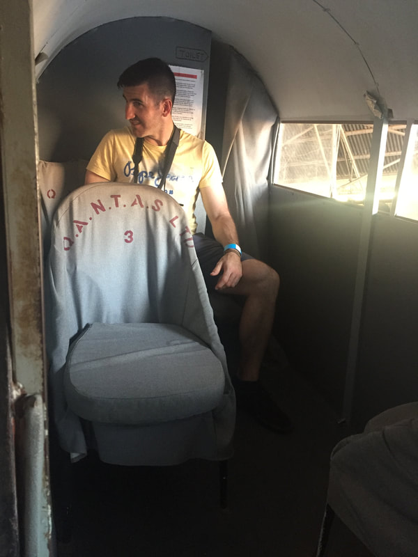
Exploring around one of the world's most reliable aircrafts and seeing behind the panels and inside compartments tells you that taking a flight isn't just about you, the passenger getting from one place to the other and ensuring that you get a window seat. It's an engineering masterpiece, a city of hydraulic lines and motors with busy motorways of electrical wiring, to turn 300 tonnes of aluminium and send it in the right direction at speeds just shy of sound. Going from one end of the 747 to the other makes you realise that a lot can change in just a 71 metre walk, seating for over 400 passengers, toilets and kitchens to accomodate them all and an upstairs bar to let the good times roll miles into the sky. Sitting in the cockpit was next level sophistication, it felt like there was a endless sea of gauges and switches. Putting our feet on the rudders and hands on the control wheel made us feel like the world would turn with every move we make. Walking out on the wing was the lookout of this flying city, looking back you get the best view of all the plane. Looking out you can see the history of the 707 that brought us into the jet age, the DC 3 that muscled its way through World War 2 and in the distance the Royal Flying Doctor Service's Beechcraft King Air putting the wheels on the tarmac. |
The JourneyChoose Curiosity The Catalogue
November 2023
The Tags
All
|


 RSS Feed
