|
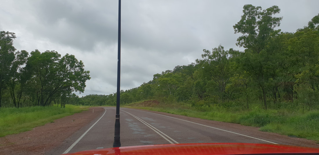
Shovel had a job offer back in Mount Isa, so we departed Darwin soaked in summer rains and ventured south back along the Stuart highway following our previous route, taking a short lunch break at Pine Creek.
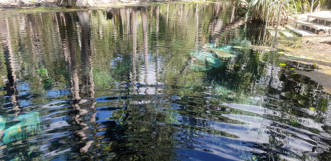
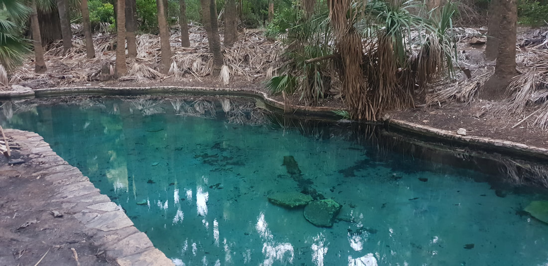
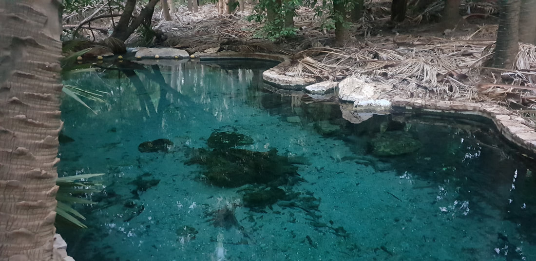
  Mataranka Thermal SpringsOur first night’s stop was Mataranka, and this time we stayed at the Mataranka Homestead located at the “famous Thermal Pools.” A homestead constructed in 1916 on a sheep station, was turned into the tourist attraction experienced today by Victor Smith after he returned to the area in 1946 having visited the springs during WWII. The springs are situated near a replica of the old Elsey Homestead, which was constructed for the film, We of the Never Never, based on a book published in 1908 of the same name by Jeannie Gunn. Gunn arrived in Mataranka with her husband, Aeneas in 1902 to manage the Elsey Station but she left shortly after in 1903 following Aeneas’ death. The territory remained with Jeannie and the novel based on her experiences at Elsey became a best seller, which was subsequently turned into two movies (1950s and 1980s). The phrase ‘Never Never’ refers to the notion of being somewhere hopelessly distant and was synonymous with isolation and doing it tough. Henry Lawson coined the term in his 1901 poem, The Never-Never Land, which captured the sentiment of loneliness evoked by Gunn. This is an extract: Where lone Mount Desolation lies Mounts Dreadful and Despair- ‘Tis lost beneath the rainless skies In hopeless deserts there; It spreads nor-west by No-Man’s Land Where clouds are seldom seen To where the cattle stations lie Three hundred miles between.  
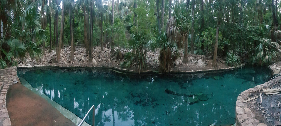 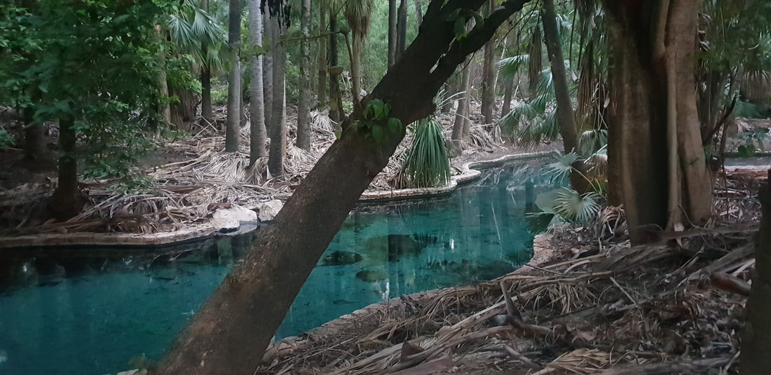
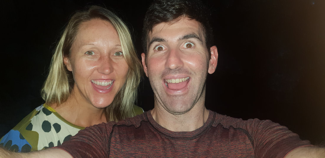
Mataranka Springs is part of the Cambrian Limestone Aquifer (CLA) one of the largest aquifers in Australia (about 1.5 times the size of Italy) fed from two CLA groundwater flow paths, the Daly and the Georgina. In studies conducted at the Mataranka Springs Complex by the Australian Government CSIRO in late 2019 scientists discovered radiogenic helium, which indicated a third very old groundwater source (perhaps hundreds of thousands of years old) could also be feeding the springs. This is vital information that will require further investigation and assist with the assessment of a gas resources development currently being undertaken in the Beetaloo Basin. There are concerns within the community that hydraulic fracturing in the Basin may contaminate the water supply or over-exploit the groundwater. Mataranka LightningIt was the national public holiday, Australia Day when we left Darwin and arrived at the Thermal Springs. Despite the controversy of celebrating the birth of a nation on a day synonymous with the declaration by British colonisers of ‘terra nullius’ that lead to the disregard of First Nations and the destruction of their culture, the vibe was amicable and welcoming. Florence was one of only two caravans at the park, so we assumed that most of the visitors enjoying the refreshingly clear springs were locals, joking, splashing around, and laughing as they listened to classic Aussie rock on a nearby portable radio. An Indigenous elder attempted to converse with us but as we couldn’t speak the local language and therefore weren’t able to grasp the conversation but appreciated the experience and were grateful for his attempts to include us ‘blow ins’ in the festivities. Later that night after a feed at the open-air Malukas Bar we were treated to an incredible lightening display, which we witnessed through the window of Florence as she swayed in the wind and was plated by the intense summer rain.
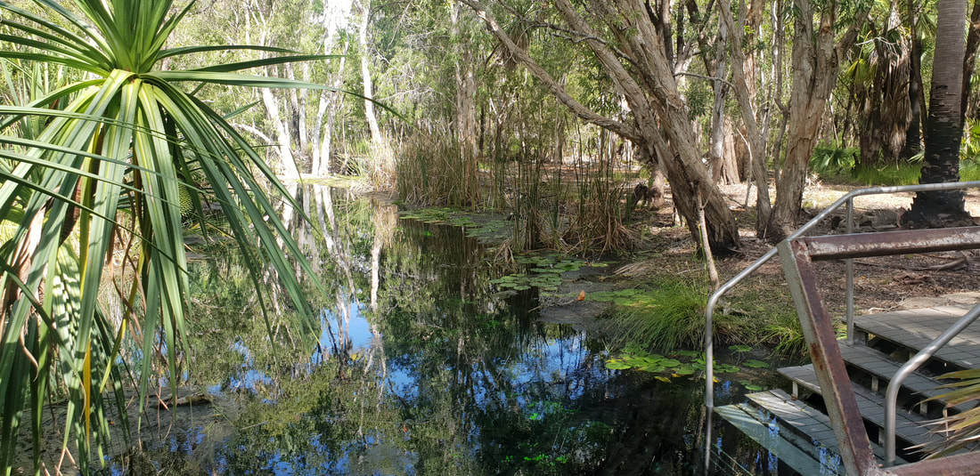
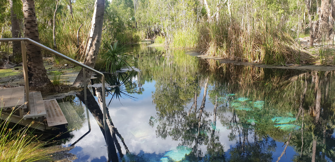
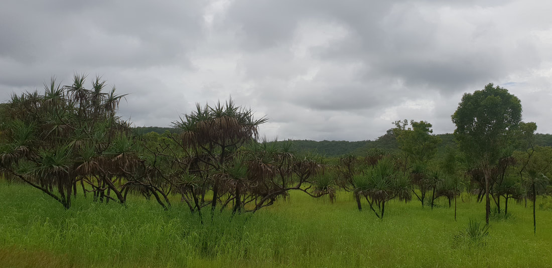
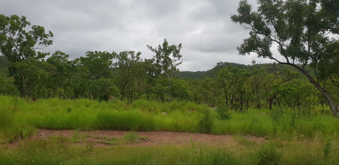
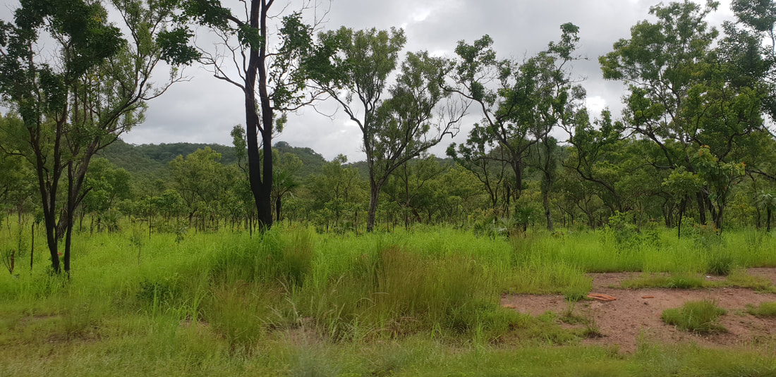
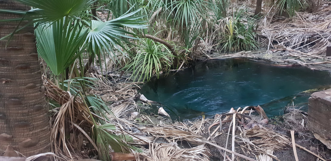
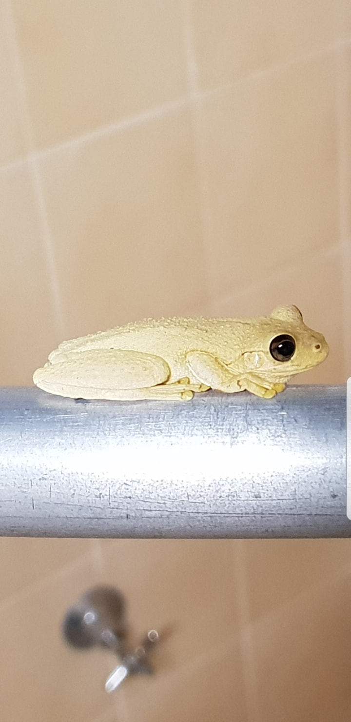
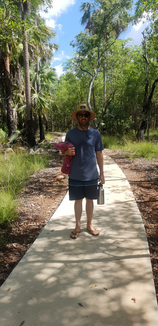
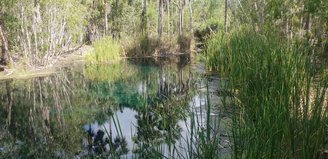
Our continued journey north had us traverse approximately 540 kilometres of the Stuart Highway landing in Mataranka to spend the night at the Territory Manor Caravan Park. The landscape began to change as we headed north; the pungent red dirt arid landscape making way for a generous covering of trees with smatterings of green grass hemming the road’s edge. The Territory Manor is located only a short drive away from Bitter Springs a swimming hole fed by a natural underground spring in the Elsey National Park, so we decided to head down for a swim. We were thankful to have access to the park during the wet season (generally the park is closed between November and March) and enjoyed the refreshing water after yet another long, hot day in the car. That night we treated ourselves to a restaurant meal of locally farmed barramundi at the caravan park, however I learnt quite quickly that I don’t much like freshwater barramundi and couldn’t particularly stomach the fishy taste. I’m definitely a fan of saltwater barramundi and know now to ask for this instead next time. We showered with local frogs in the open to the fresh air and wildlife bathrooms and were treated to a glorious sunrise on the morning of our final push into Darwin.
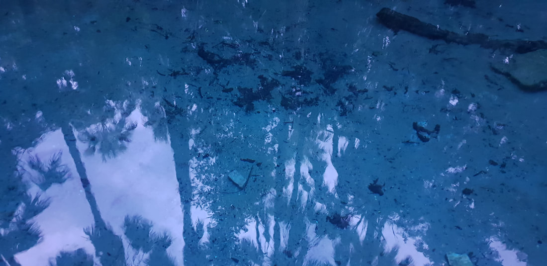
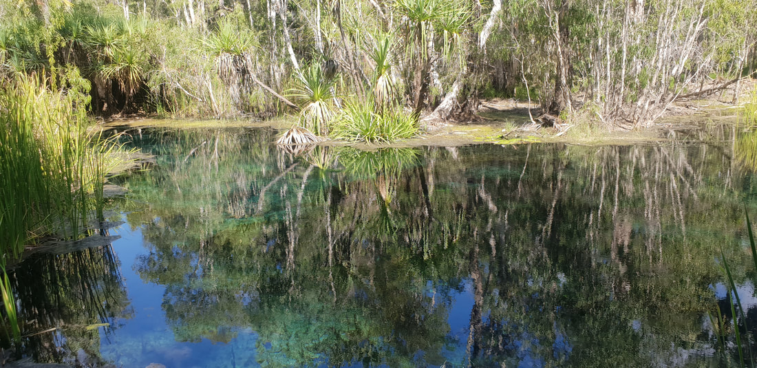
Bitter Springs Thermal Pool
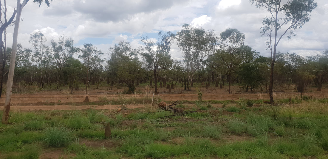
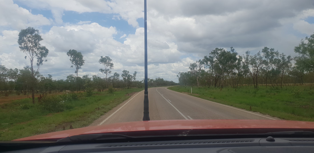
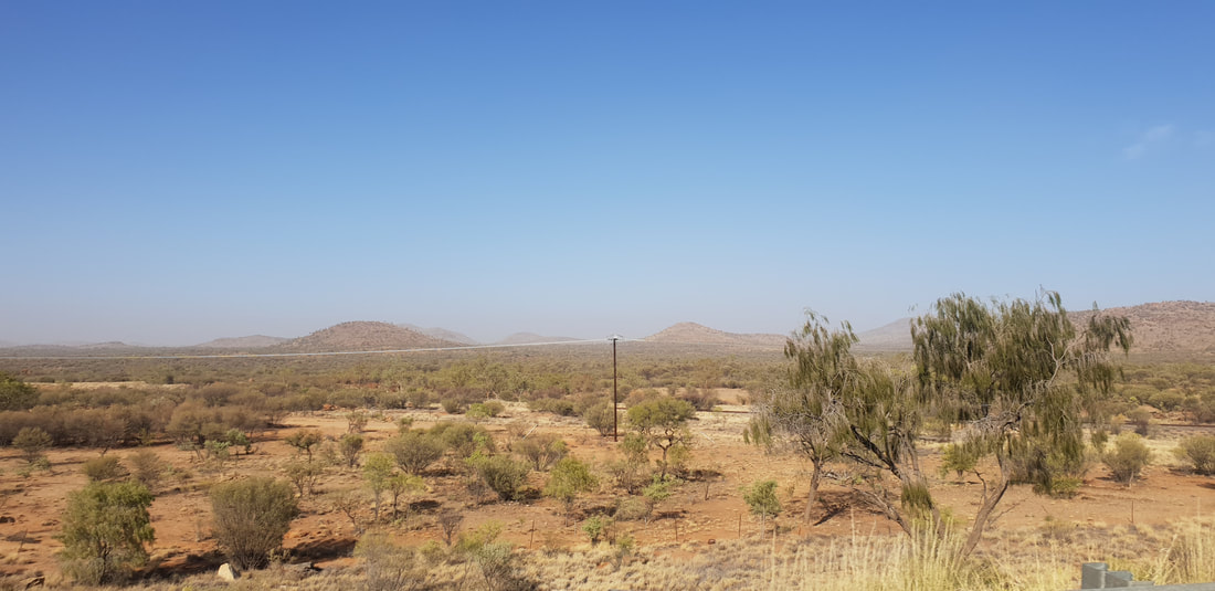
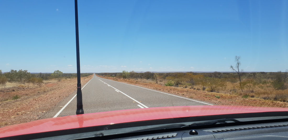
   There was a smoke haze in the air as we departed Alice Springs continuing our journey north, travelling approximately 530 kilometres to the Threeways Roadhouse. A fire had broken out on the Larapinta Trail that was visible from the Stuart Highway and did have us slightly concerned. According to Bushfires NT the blaze spurred by hot winds ravaged the iconic walking track for about 17 days covering 1200 square kilometres that devasted vegetation and caused irreversible losses.
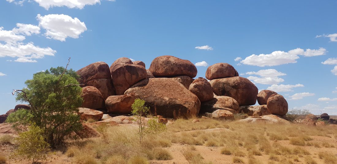
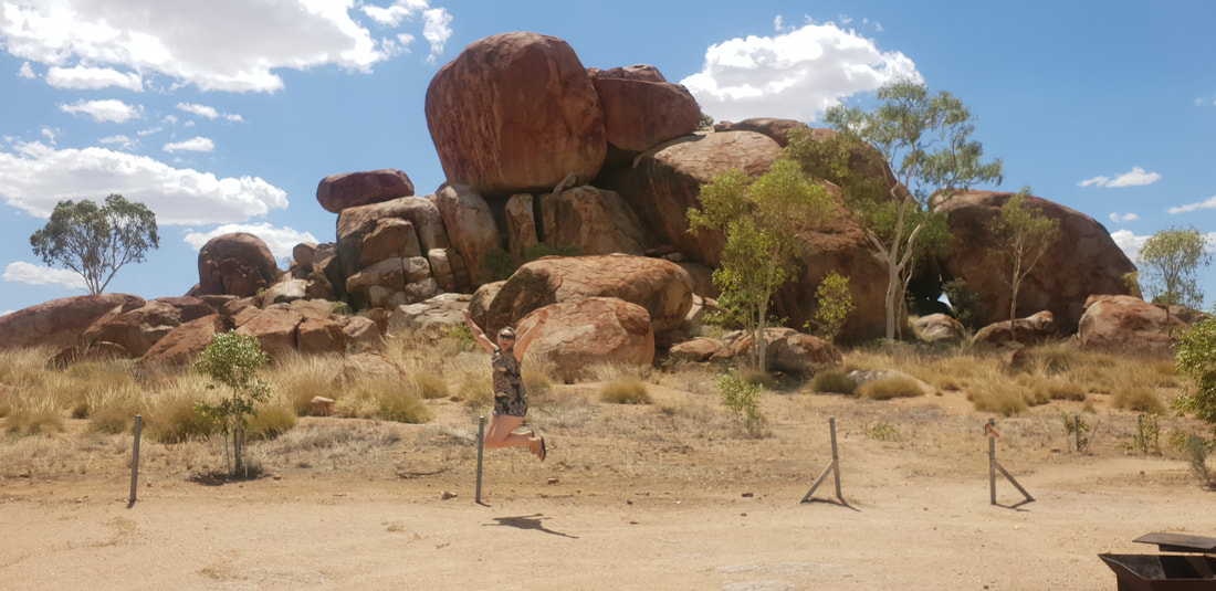
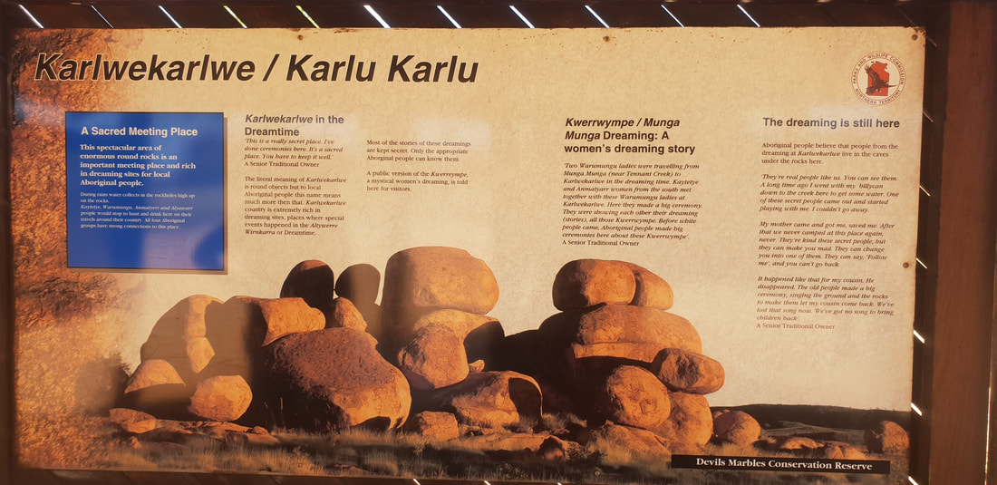
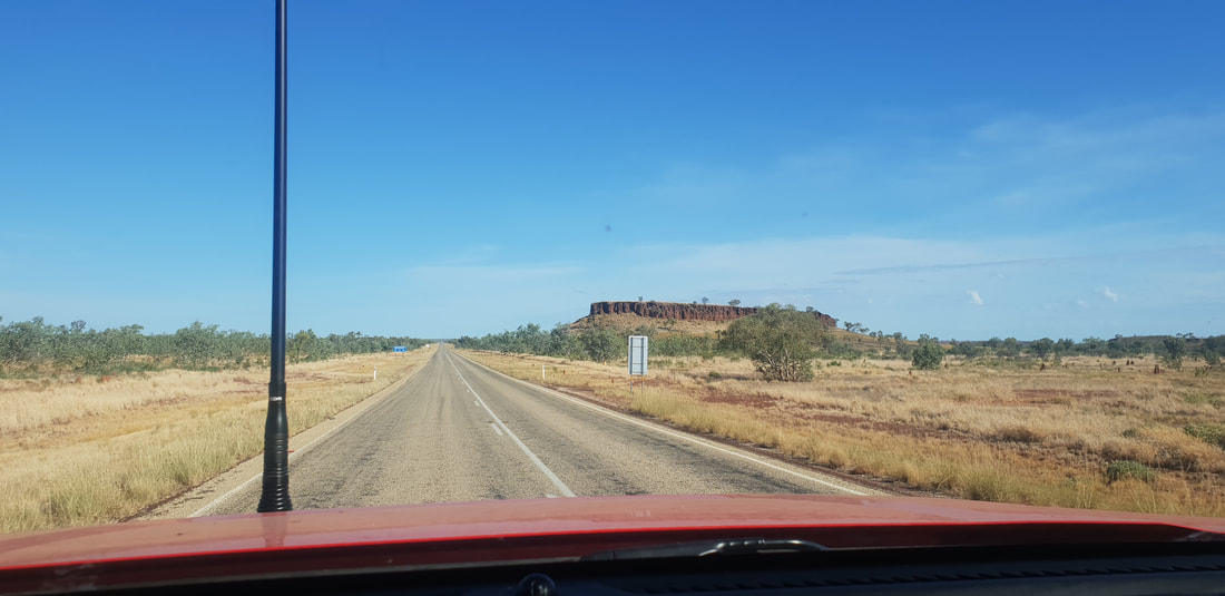
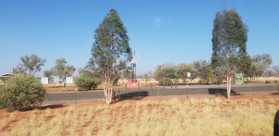
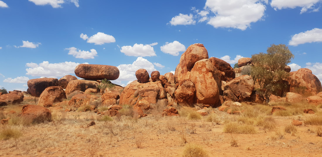
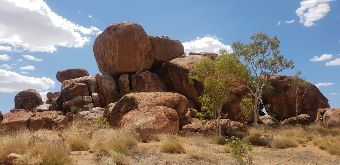
Karlu Karlu / Devil's Marbles Conservation Reserve
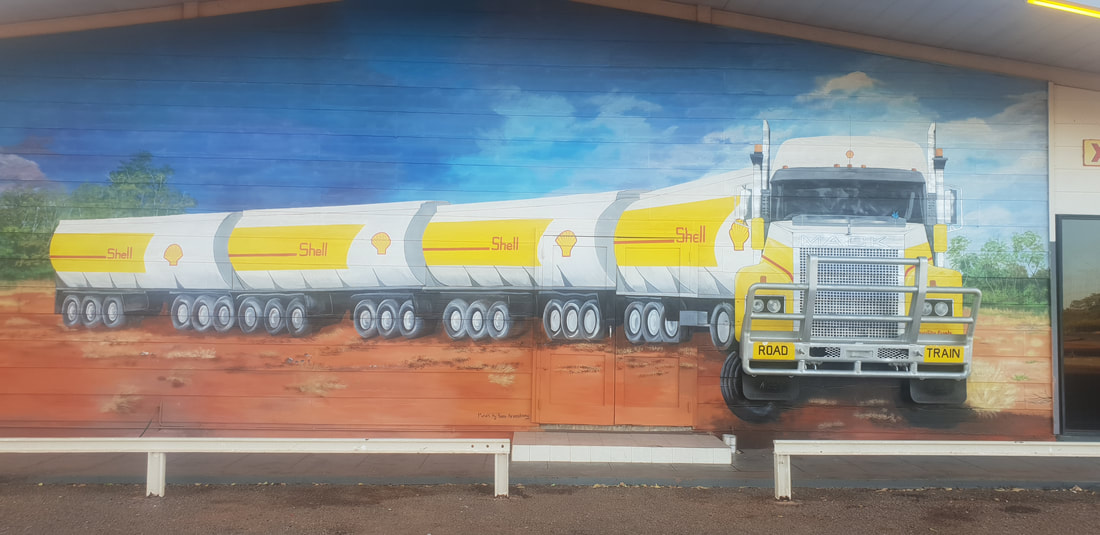
   Threeways RoadhouseWe love this roadhouse located on the junction of two major road train routes for its lack of rustic charm and quaint surrounds. It’s dirty, dusty, hot, and we wouldn’t want it any other way. The amenities are creepy, sparsely clean with insects galore and the facilities basic to say the least but try the barramundi for dinner and you’ll love this place as much as we do. 
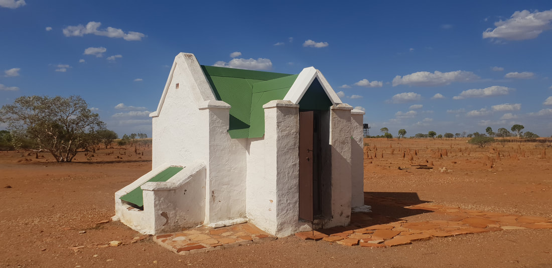
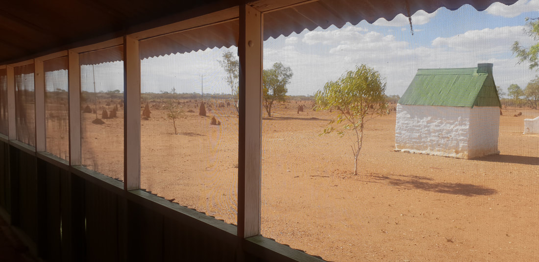
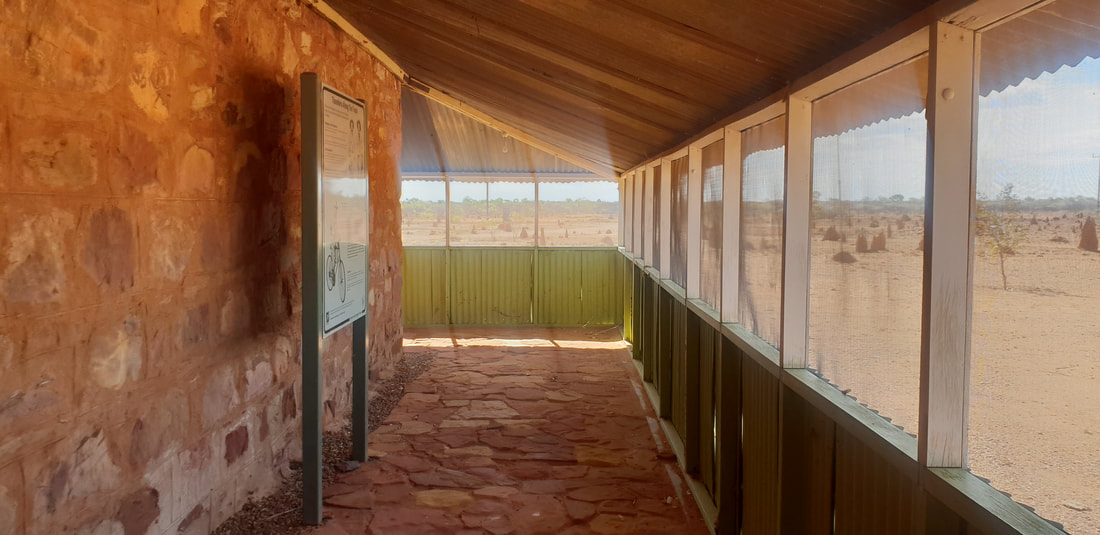
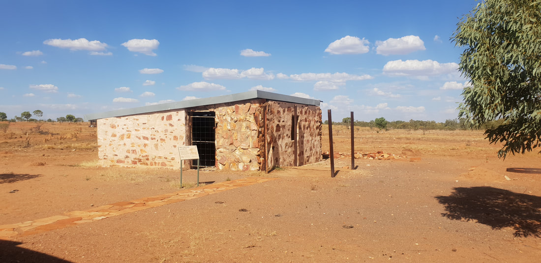
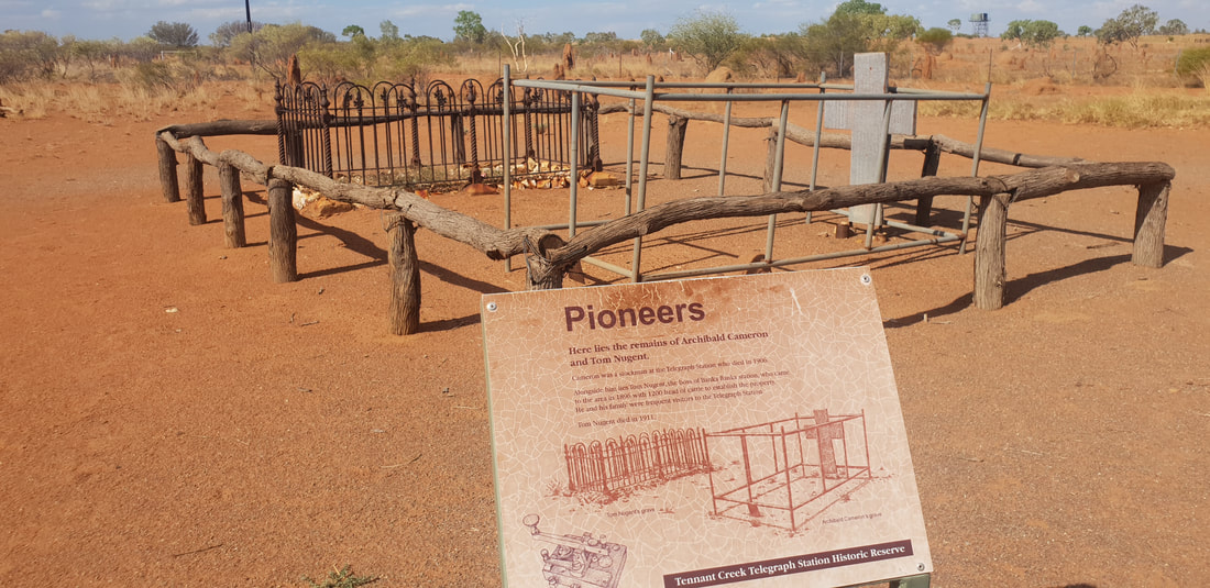
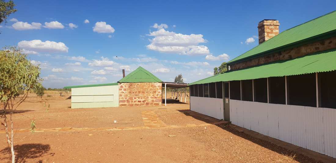
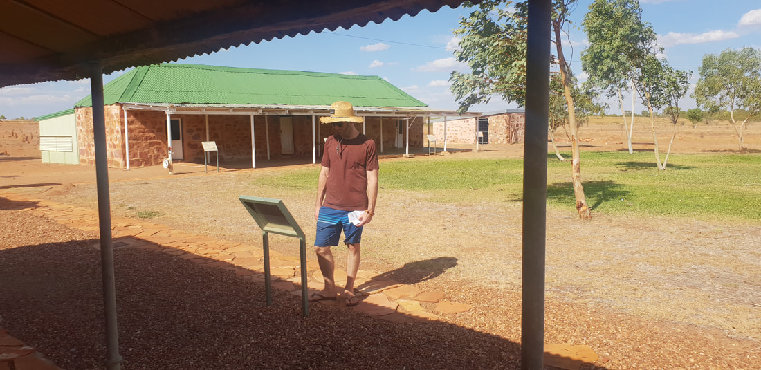
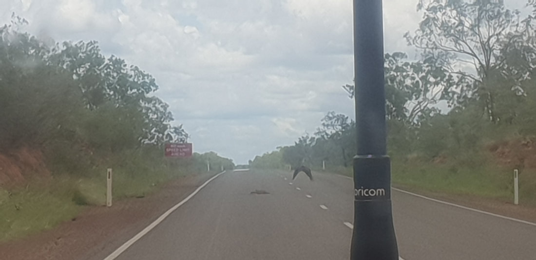
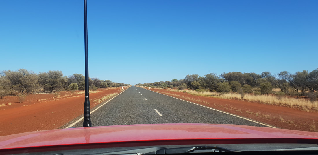
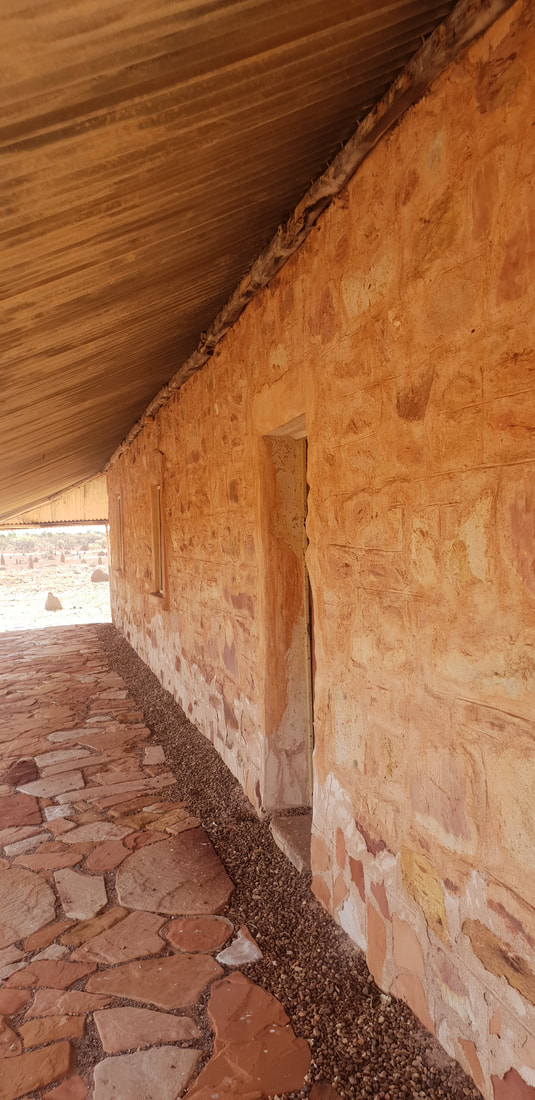
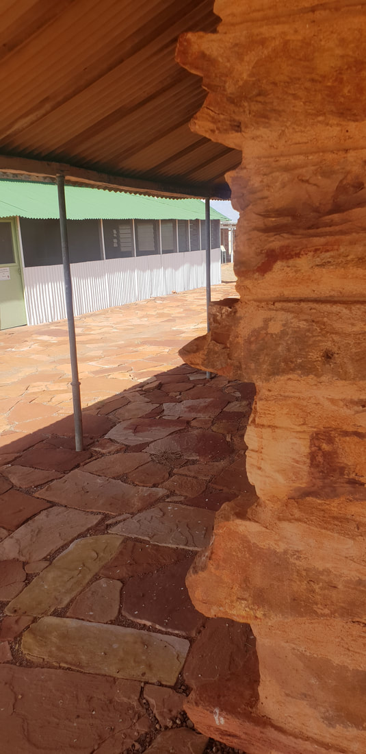
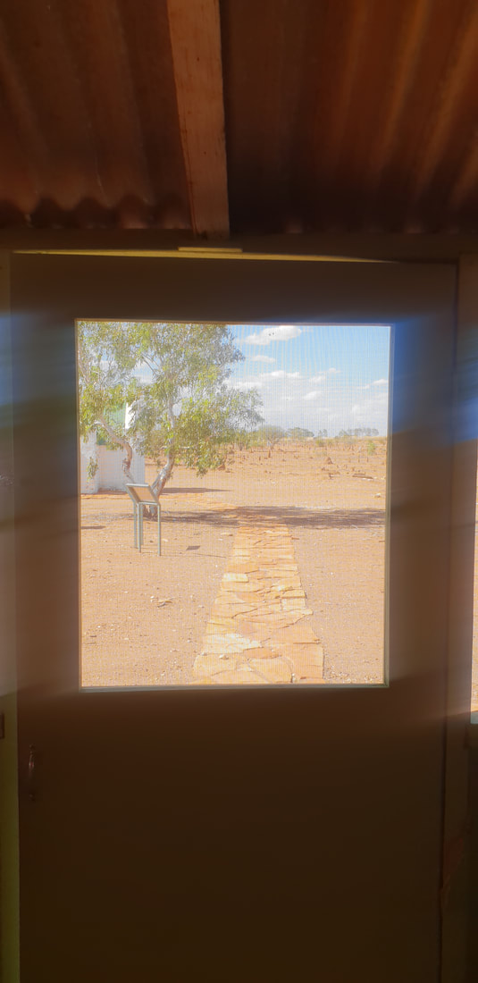
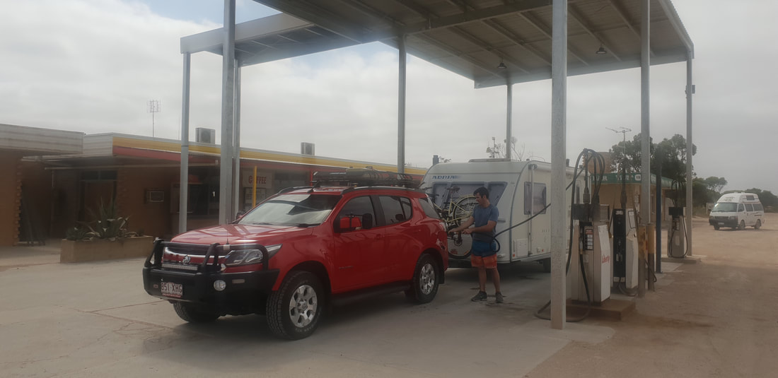
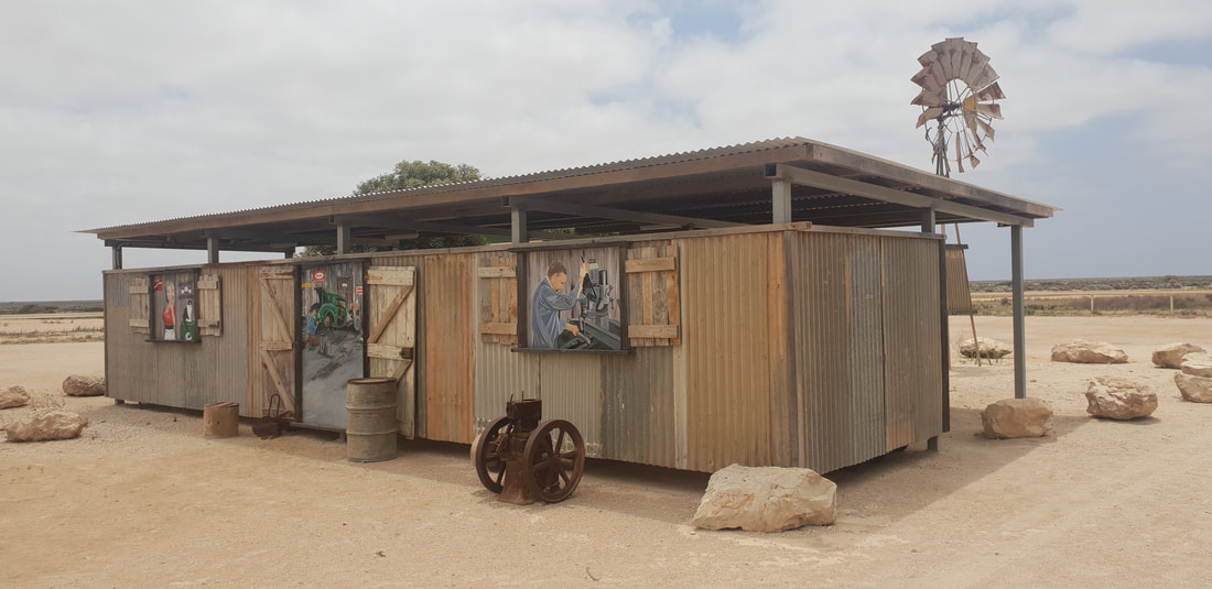
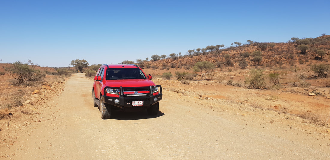
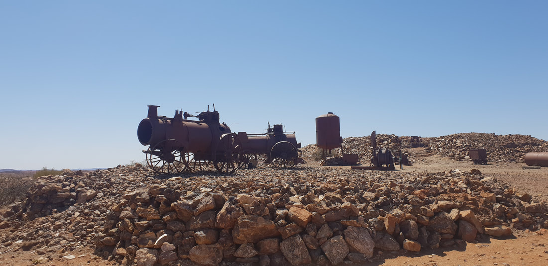
  Arriving at the Threeways Roadhouse we promptly unhitched Florence and took off south down the Stuart Highway in the direction we had just come from. And I literally mean we “took off” down the highway, unshackled from Florence, Cherry was able to really feel the breeze through her radiator grill as we took advantage of the 130km speed limit! Just north of Tennant Creek we had passed the Overland Telegraph Line Station and I was bursting to check it out. I’m completing fascinating by stone dwellings and didn’t want to miss an opportunity to visit a restored stone dwelling in Central Australia. Access to the Station’s interior requires a key obtained from the visitor’s centre, which being late in the day we didn’t have time to collect but we made the most of our experience, exploring the surrounding buildings and old graves. The visit definitely had a profound impact on me, and I was left pondering the connection between stone dwellings and hot-dry arid climates.
        Extract from Gumby’s unfinished 2022 Honours Thesis…
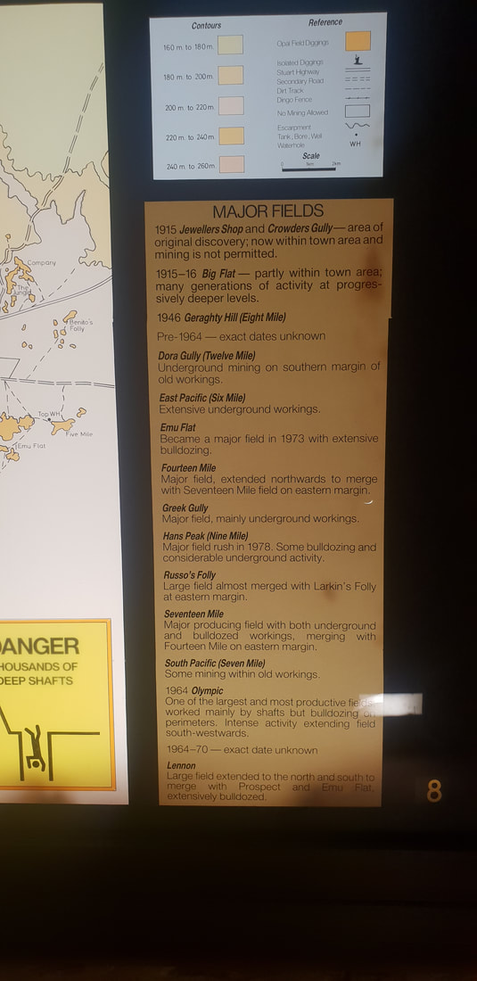
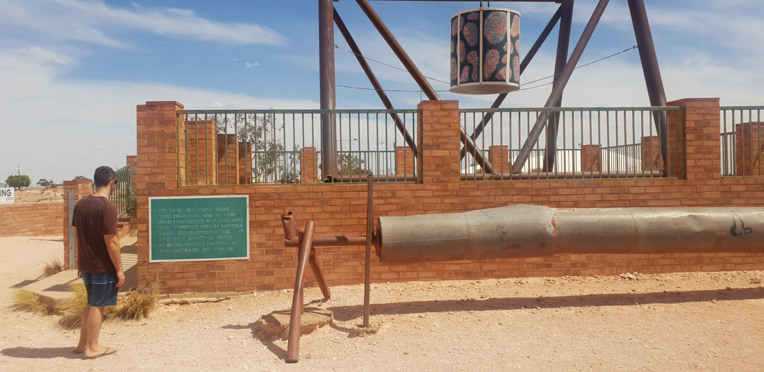
As I stepped from the air-conditioned sanctuary of the car, I was struck by the intensity of the heat, I felt as though I’d just cracked the door of a hot oven, instantly blasted, my cheeks flushed, eyes watered, and lungs burnt as I gulped for air. It was late afternoon in Jurnkkurakurr (Tennant Creek), Central Australia, January 2019, Australia was experiencing an “unusual extended period of heatwaves” (BoM, 2019, 14 March, p. 4), the Larapinta Trail in Tjoritja (West MacDonnell National Park) near Mparntwe (Alice Springs) was ablaze (DTSC, 2019), and the United Nations Secretary-General, António Guterres had issued a bleak outlook, “I believe we are losing the race. Climate change is running faster than we are” (UN, 2019, para. 3). The Tennant Creek Overland Telegraph Line Station situated approximately 520 kilometres north of Alice Springs, constructed of stone in 1874 (PWCNT, 2002), was restored and opened to the public in 2012. Michael Holstein a traditional stonemason was engaged to dismantle and rebuild the external Station walls, stone by stone, he stated the stone was laid incorrectly, the grain faced the wrong direction permitting it to shale in the wind (Brain, 2012). Completed in 1872 the Overland Telegraph Line (OTL) was heralded as an engineering triumph that included the installation of 36,000 poles traversing the continent, approximately 3,000 kilometres, south to north, from Kurdnatta (Port Augusta) to Garramilla (Darwin), and included the construction of eleven repeater Stations, to house equipment and personnel (Pugh, 2022). When I visited the Station in January 2019, Tennant Creek had just experienced a record-breaking 23 consecutive days over 40°C (BoM, 2019, p.30). There were no other cars in the carpark as I retreated from the intensity of the sun under the verandah and noticed the cooling effect created by the stone walls. I was reminded of traditional stone architecture prominent in the Middle East. The Köppen-Geiger climate system classified Tennant Creek as BWh, an arid hot-dry desert, the same classification given to the Middle East, countries such as Saudi Arabia, Yemen, Algeria, and Egypt (Beck et al., 2018). I wondered if the Tennant Creek OTL Station had been constructed from locally quarried stone in response to the climate, and what it was like to live in such a building? Around TownKnown as the opal capital of the world because Coober Pedy produces more stones by mass, opals found in Coober Pedy are often of the crystal variety of which the base colour is transparent or translucent. The more fiery or intense the colours the more value in the stone. Australia produces roughly 95% of the world’s opals, opals found in Lightning Ridge in Queensland are of a higher quality than that of Coober Pedy. Opal mining is extremely demanding as about 85% of the opal found, called potch, holds no colour and is therefore of no value. Opal mining began in 1915, however the opal mining boom occurred much later in the 1970s after an influx of European migrants fleeing war-torn countries ventured to the region to stake their claim. Surprisingly we were treated in Coober Pedy to an awesome IGA that stocked all our favourite health food products including kombucha that we were very grateful for. We also dinned out the local bakery recently revamped by a couple from Adelaide and the local pizzeria. We absolutely loved visiting Coober Pedy, despite the heat (we were there in mid-Summer) the atmosphere was welcoming and our curiosity was tickled as we ventured throughout the town, into the underground shops and marvelled at the hard work endured by the pioneering migrants who toiled in challenging and often dangerous conditions to make a living.
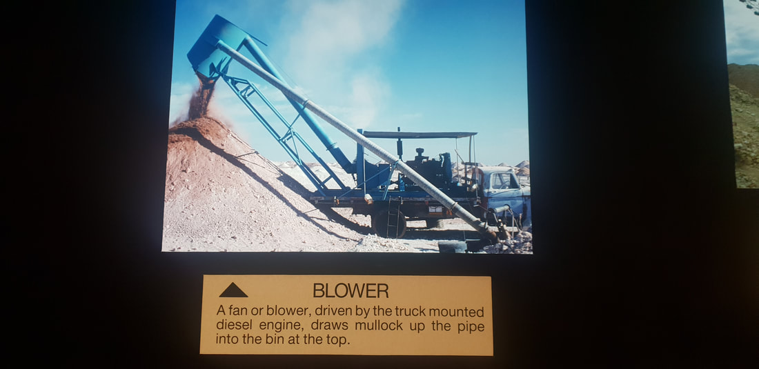
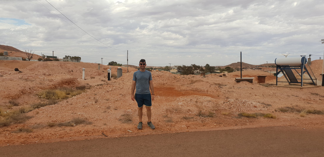
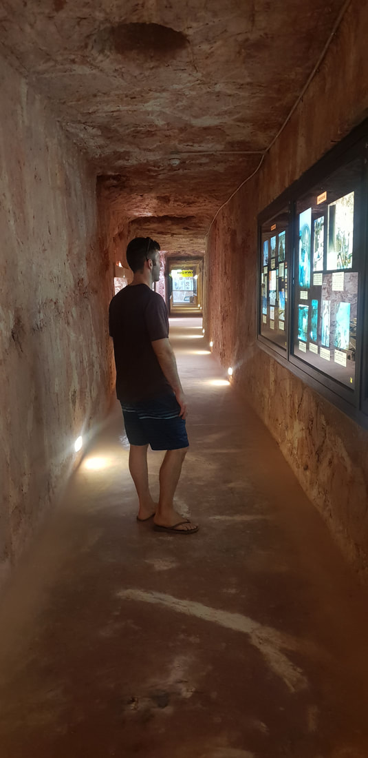
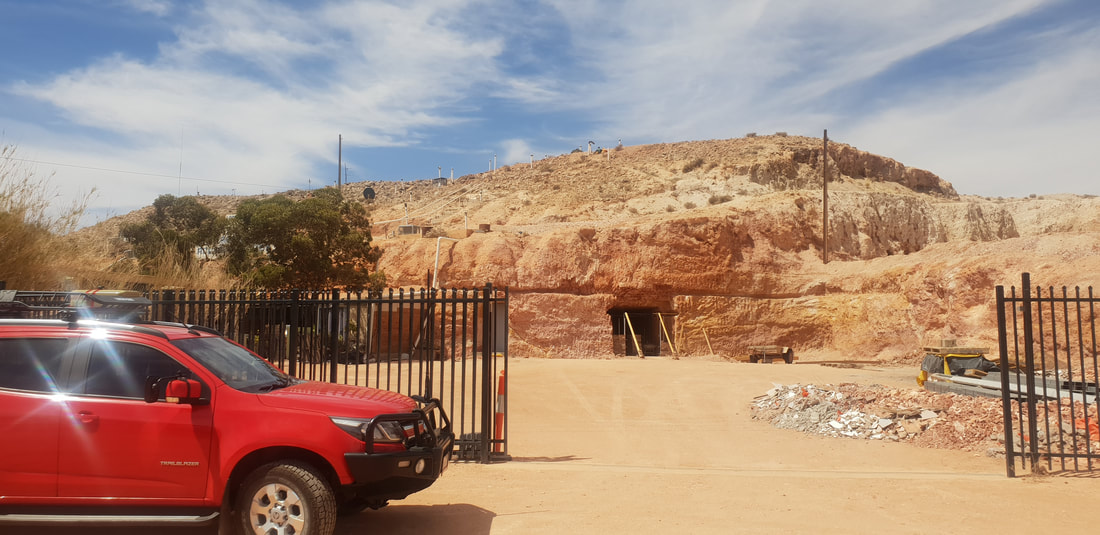
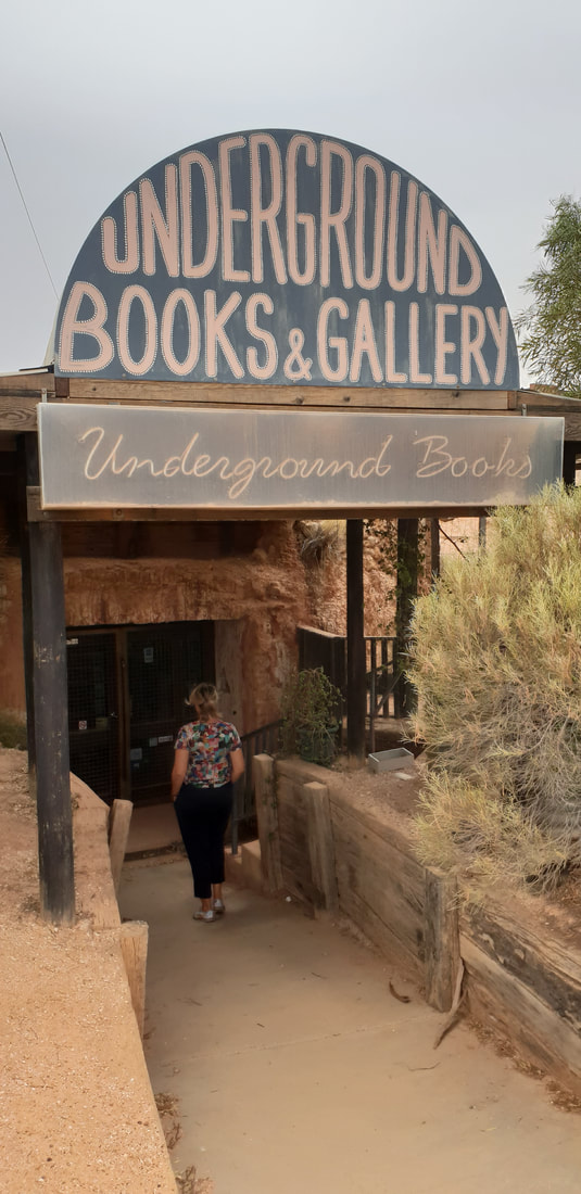
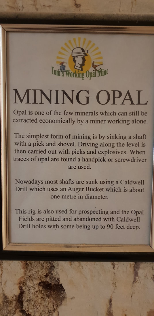
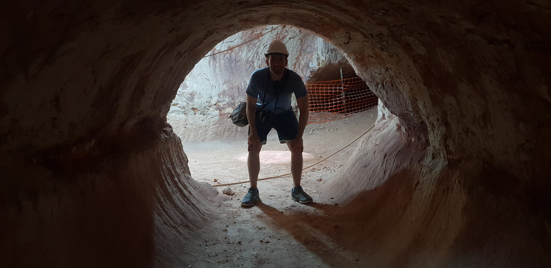
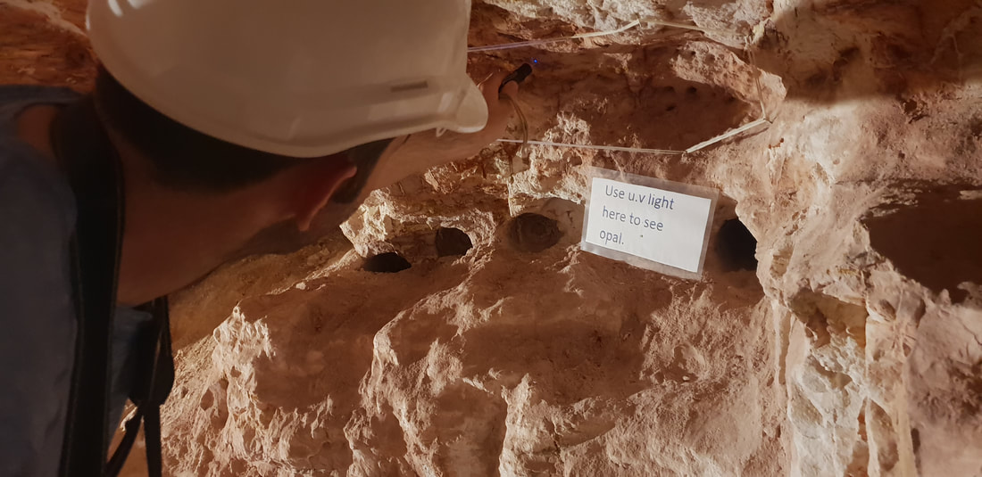
The name “Coober Pedy” comes from the Aboriginal Australian kupa piti, meaning “boys’ waterhole.” However, another type of hole has become quite a hazard. Over the years, miners have dug over 250,000 shafts, making Coober Pedy a dangerous place for tourists to walk around carelessly. source Gem Society Tom's Working Opal MineAt Tom’s Working Opal Mine, which I don’t believe is an active mine anymore, we watched a video of the mine being detonated, which involved a stick of dynamite being placed into a predrilled hole and ignited. We laughed uncomfortably as the person holding the camera began to shake and back away quickly. The camera holder and the igniter both exiting the mine moments prior to hearing the bang and a burst of dust and rock escaping the hole. 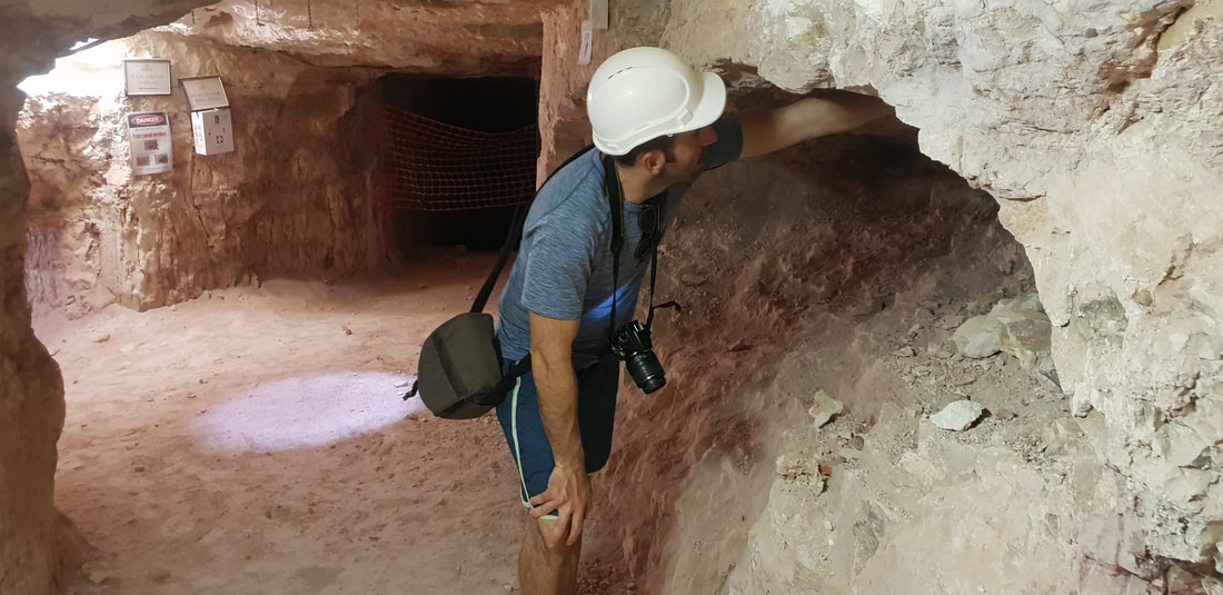
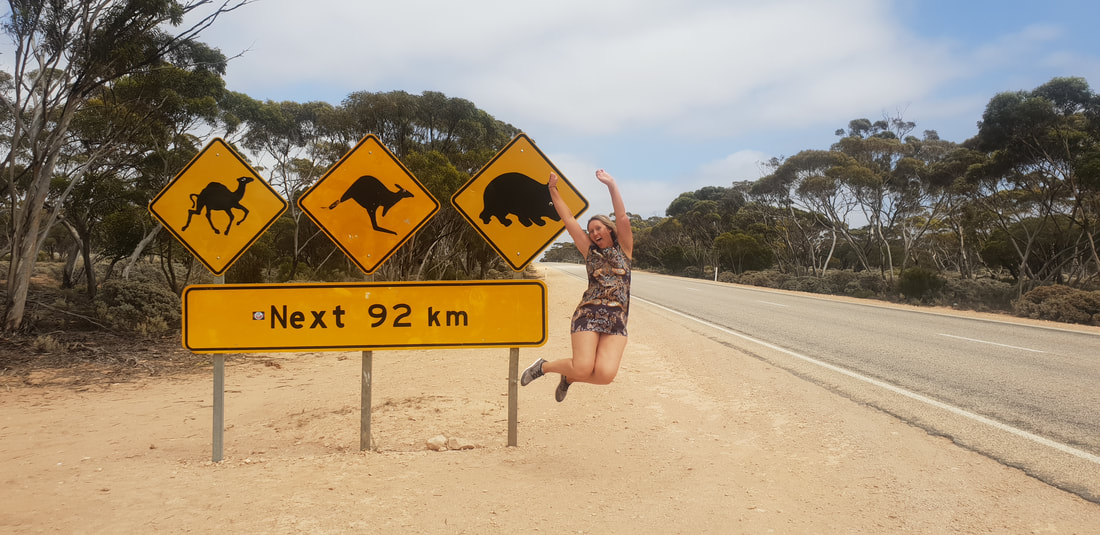
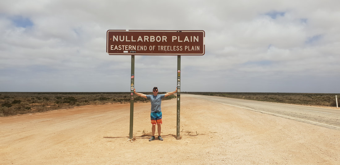
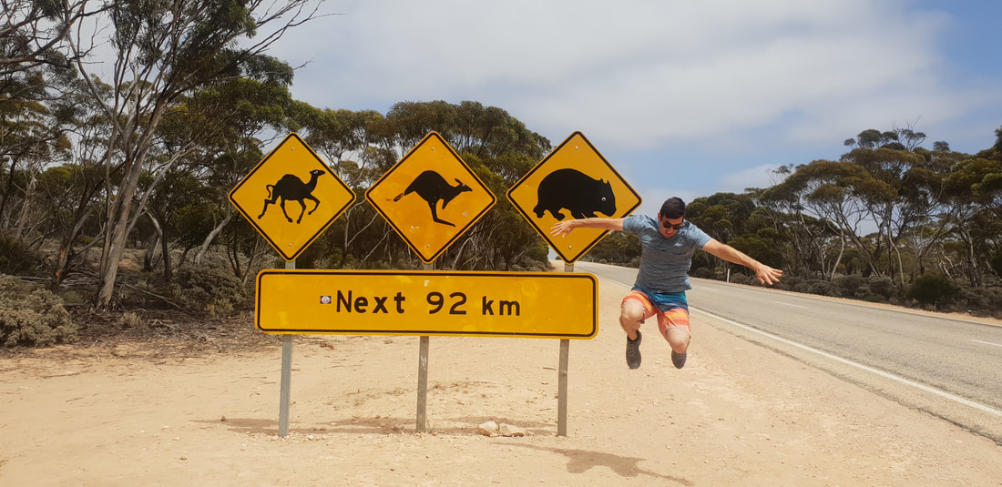
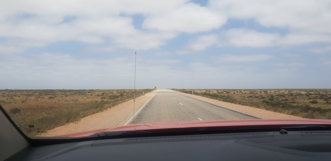
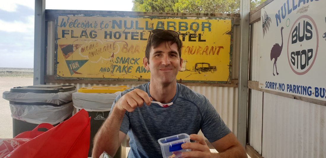
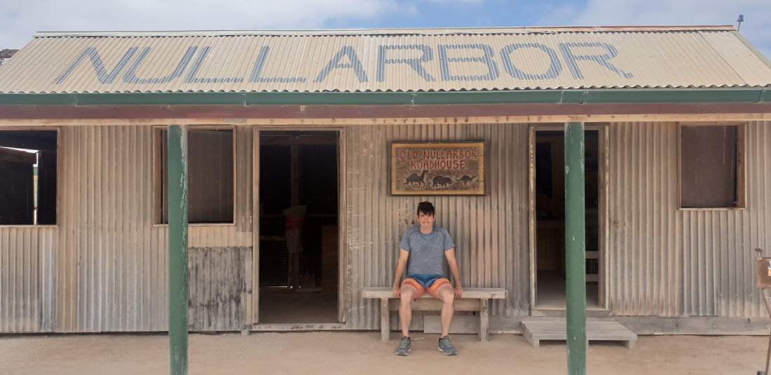
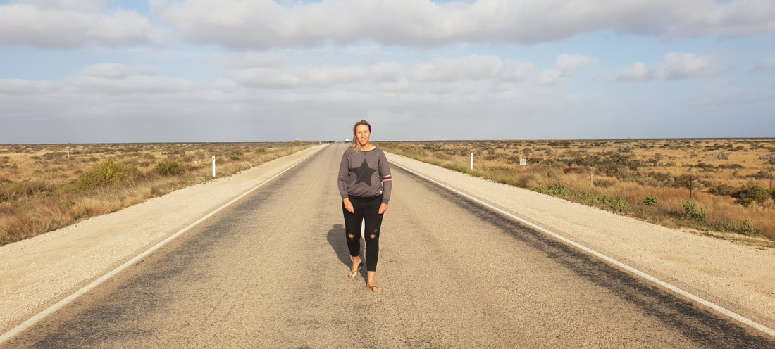
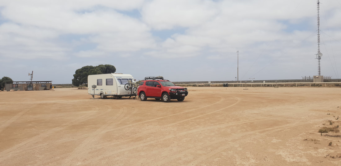
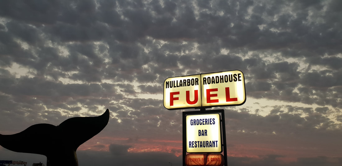
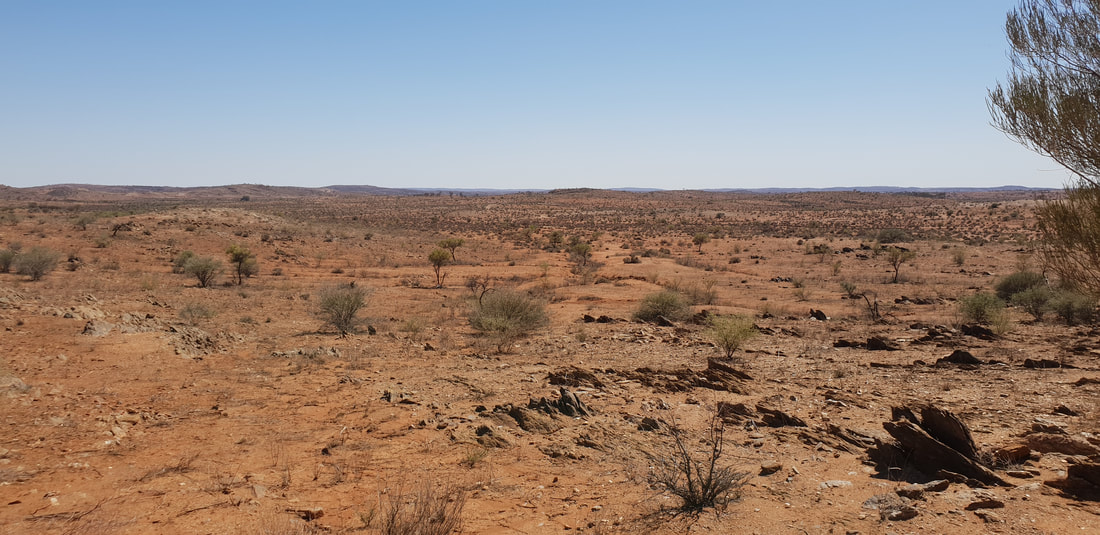
 After two weeks in Ceduna we were excited to hit the 'frog and toad' again and head west along the Nullarbor. During our 300 kilometre journey we passed through the wheat fields of Penong, the native indigenous lands of Yalata and into the abyss of the flattest and most treeless land in Australia. The extreme flat of the Nullarbor Plain is created by a limestone shelf that stretches along the coast of the Great Australian Bight for about 1,000 kilometres. The absence of trees or structures gives the ominous impression the sky is falling in, as there is no sense of perspective. But what an incredible experience to feel first hand and a definite must for any traveller. After we jumped in front of signs, marvelled at the landscape and unhitched Florence at the Nullarbor Roadhouse Caravan Park, we took a drive to the Head of Bight, then returned for an impressive feed of Snapper, served at a restaurant with its only source of water from a bore, desalinated onsite, and watched the sun go down over the vastness that is the Nullarbor Plain.
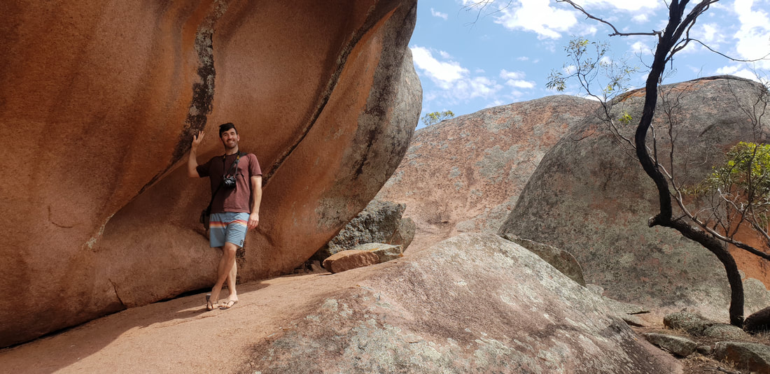
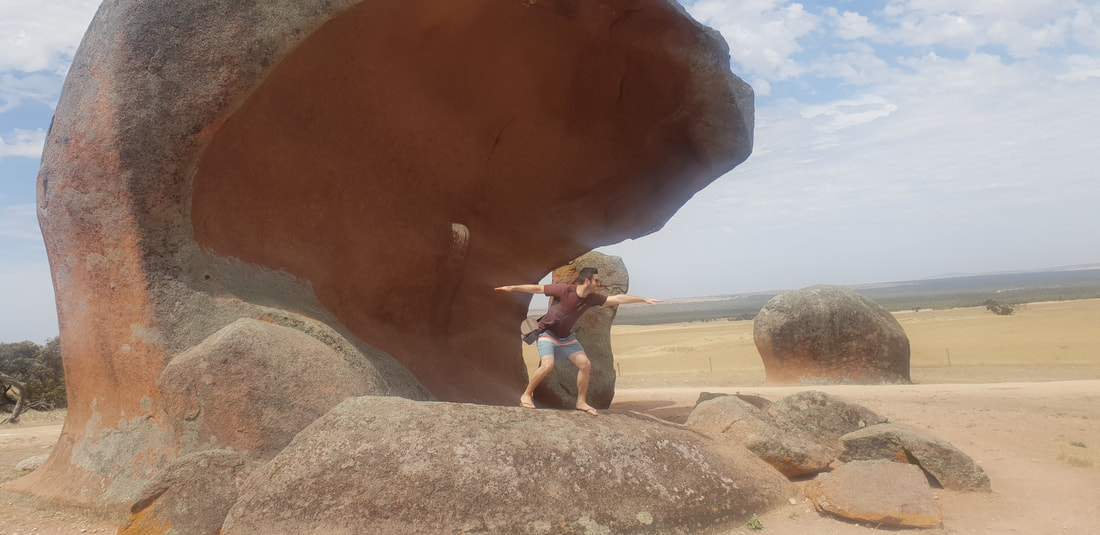
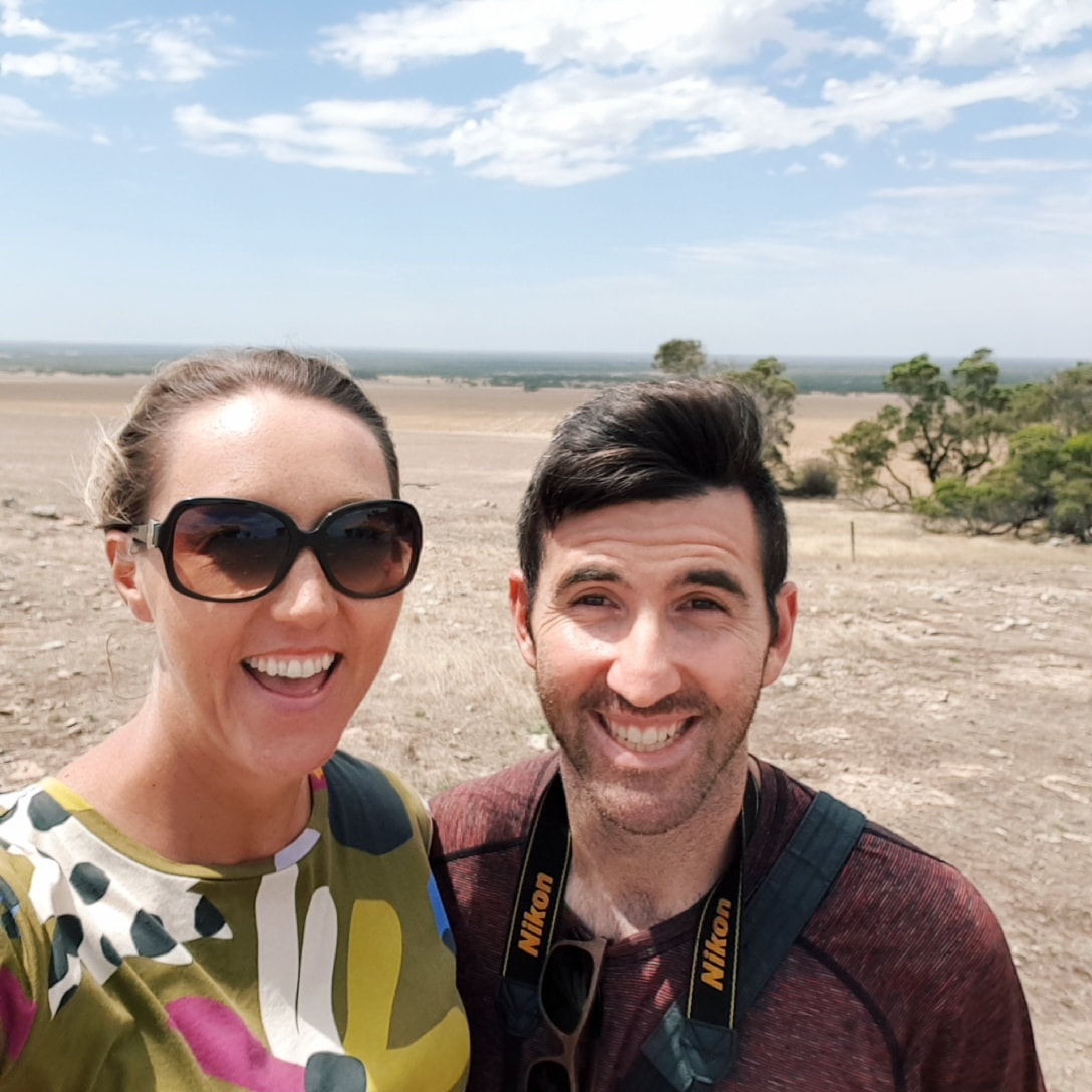
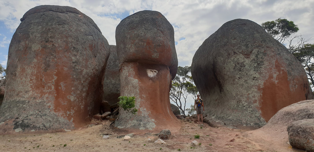
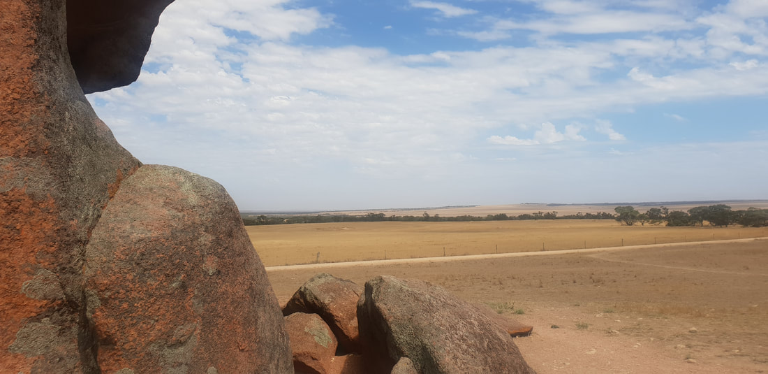
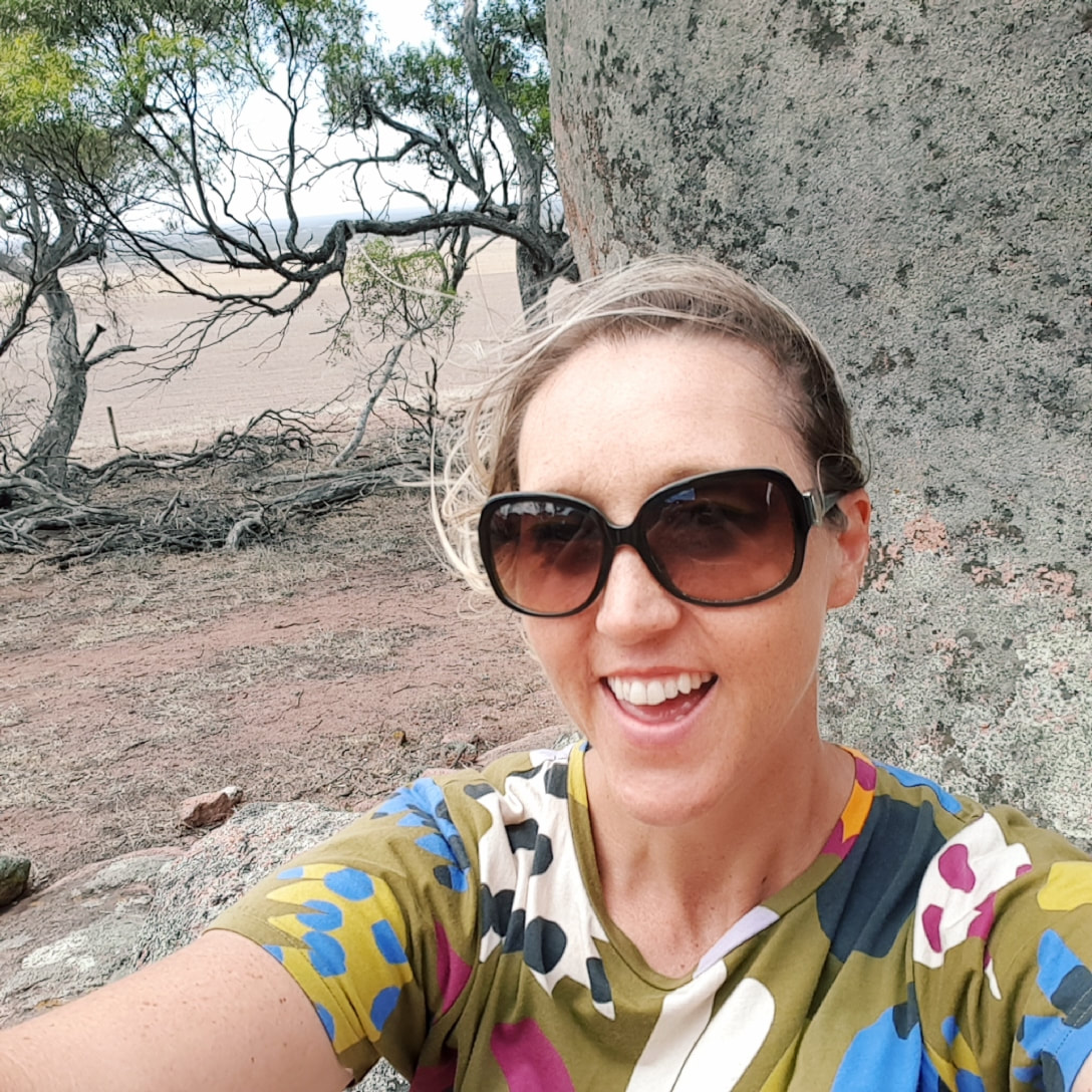
 Located on private property and accessed by a gold coin donation, along the Eyre Peninsula about 40kms from Streaky Bay are a group of ancient, seasoned, pink granite rocks said to be over 1500 million years old. Named after Denis Murphy who owned the property back in the early 20th century, the rock formations appear from a distance in the arid wheatbelt district to be haystacks, hence the name, “Murphy’s Haystacks.” Known as inselbergs, which means “island rock,” the hard granite edifices have remained, protruding out of the surface of the ground, as the surrounding softer material has eroded over time through weathering. Research fellow at the University of Adelaide, Professor Victor Gostin said the actual granite itself is very ancient believed to be over 3 billion years old, making the “haystacks” a significant tourist destination in the region and one that Murphy’s grandson and current owner Denis Cash has been happy to open to the public. Other inselbergs across Australia, include, Uluru in the Northern Territory and Wave Rock in Western Australia, both of which Shovel and I are yet to experience together. Shove and I had a fantastic time running around and between the rock formations, in awe of the magic of nature.
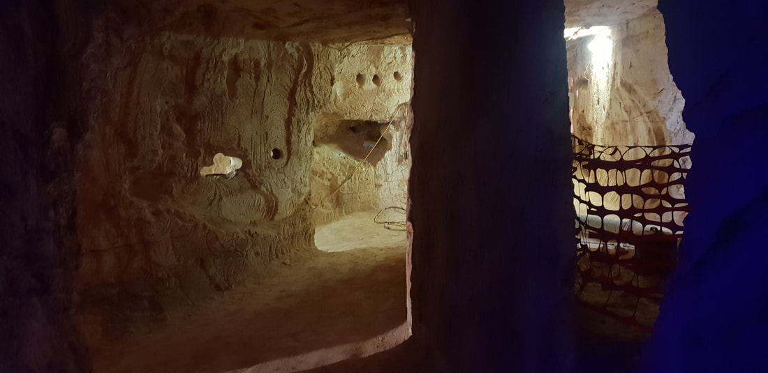
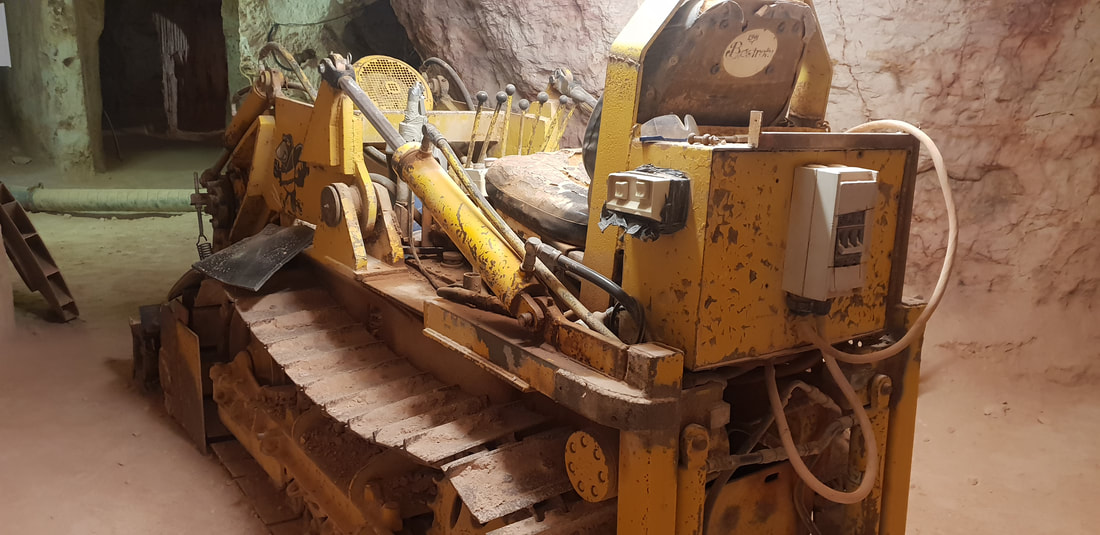
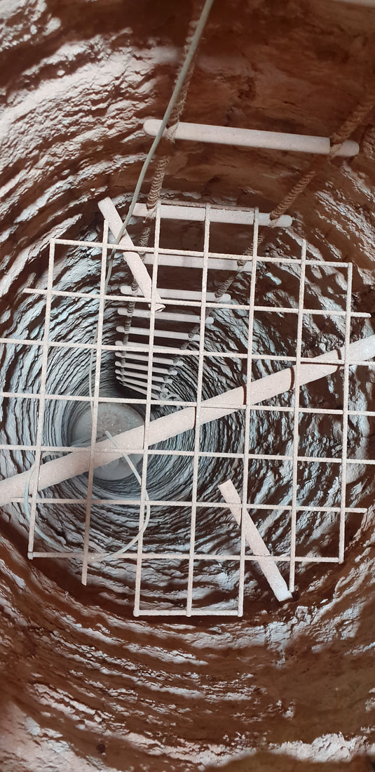
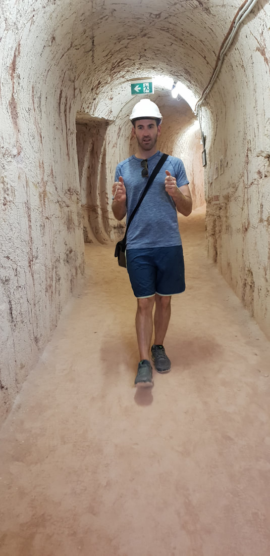
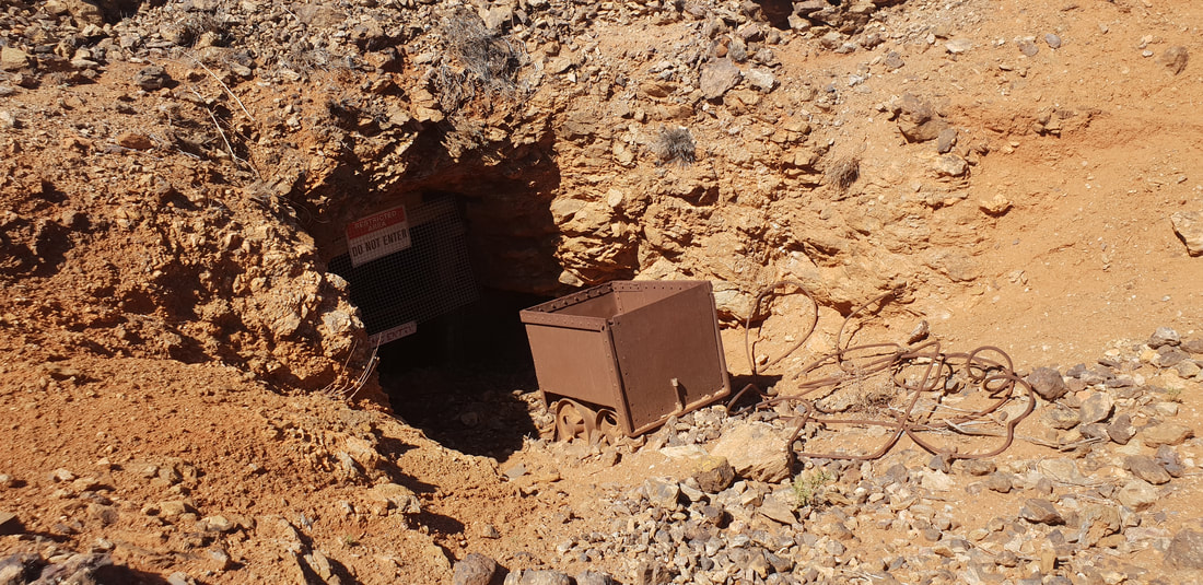
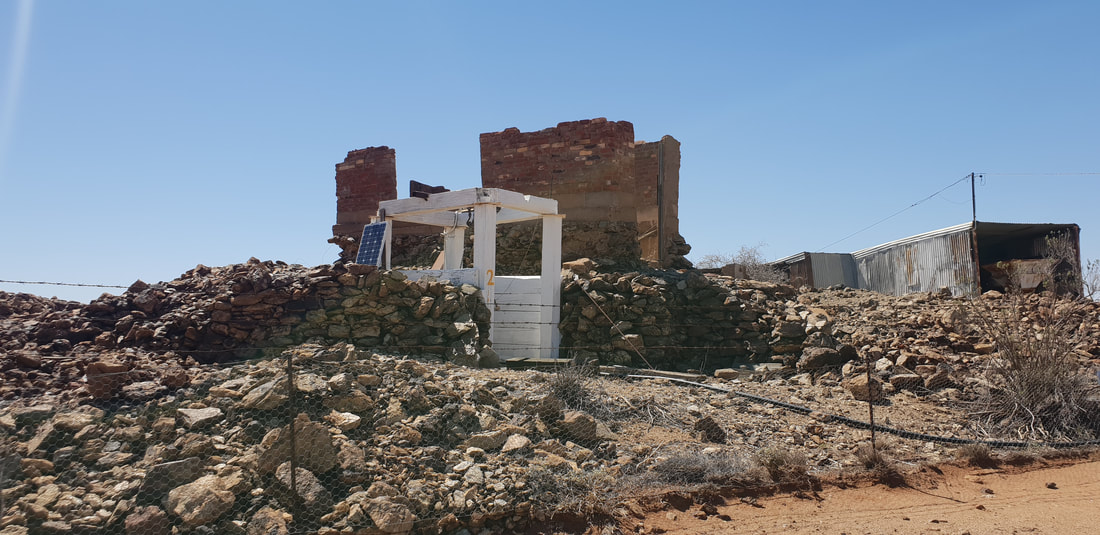
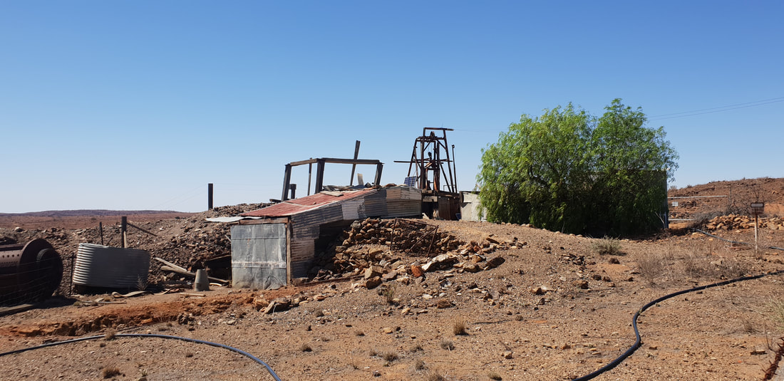
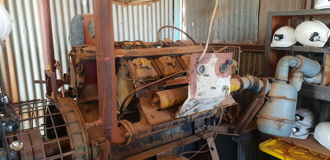
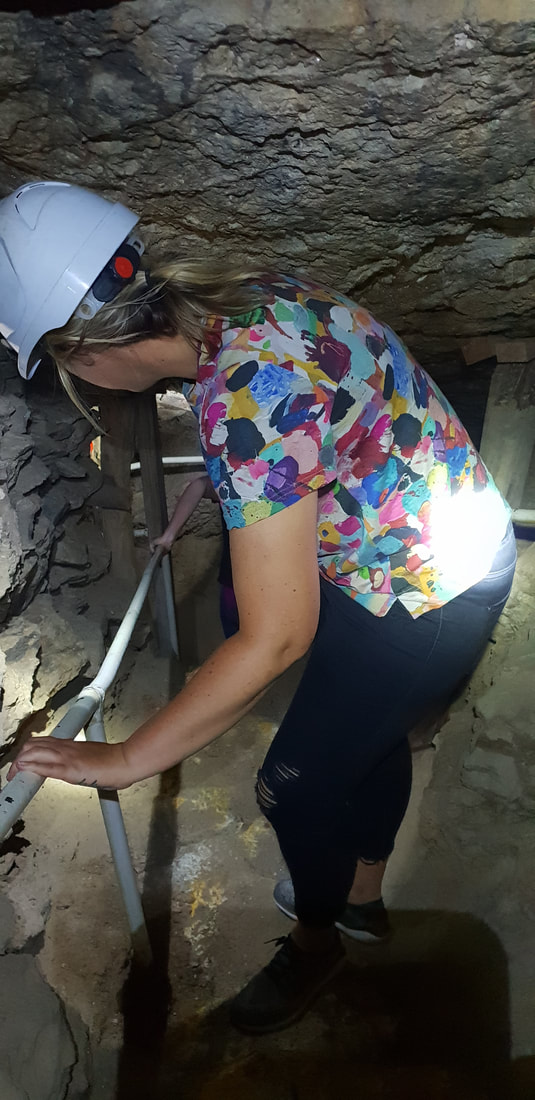
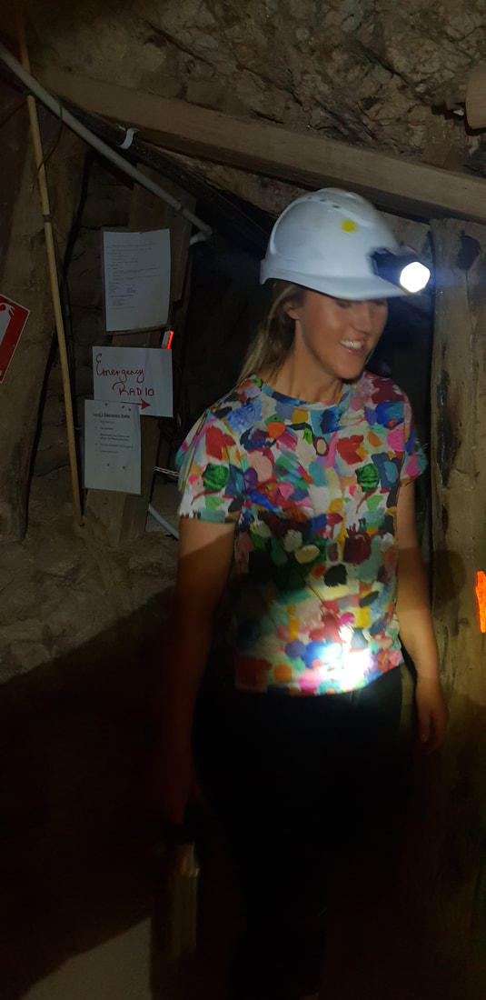
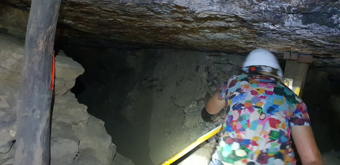
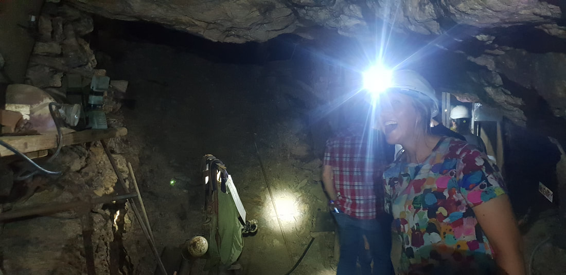
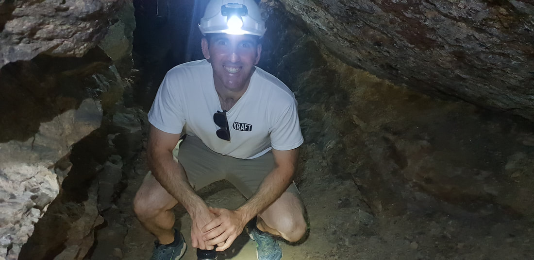
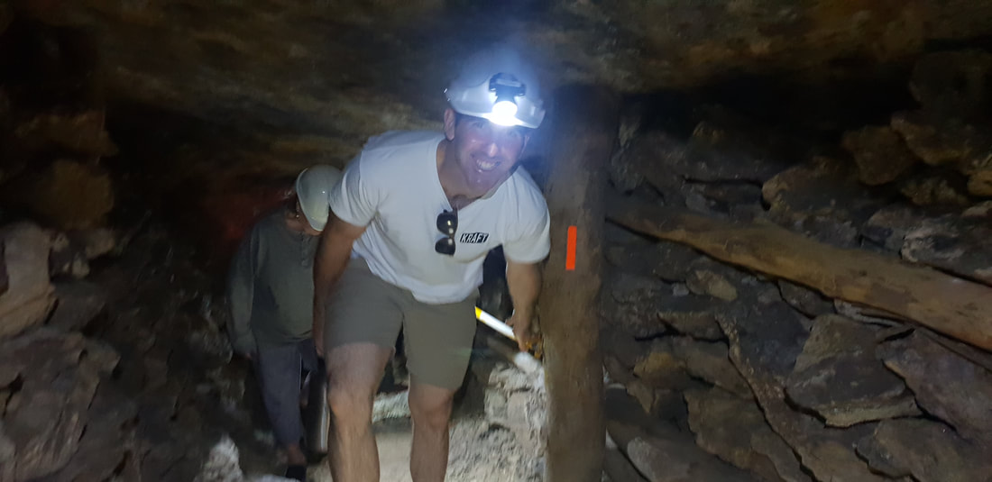
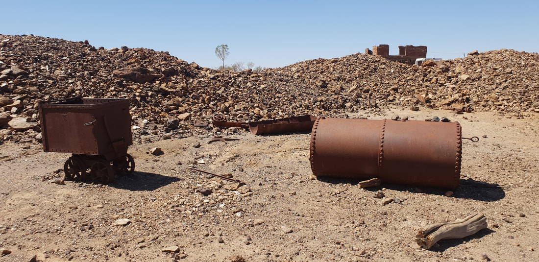
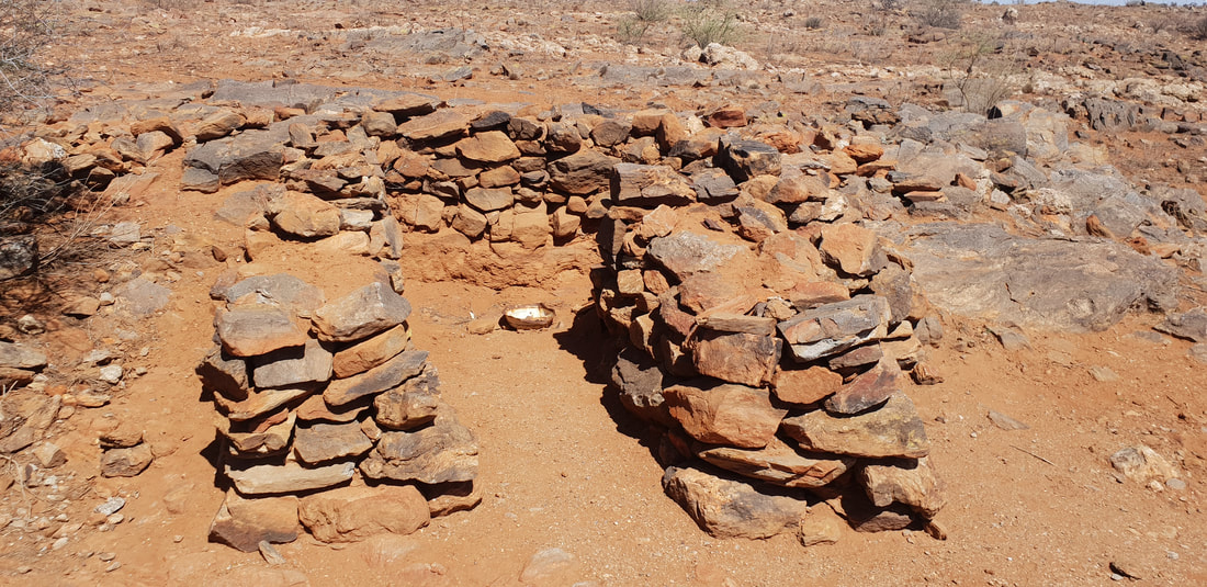
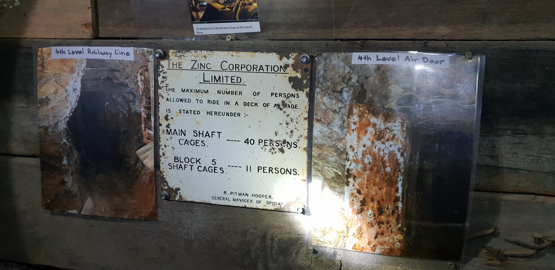
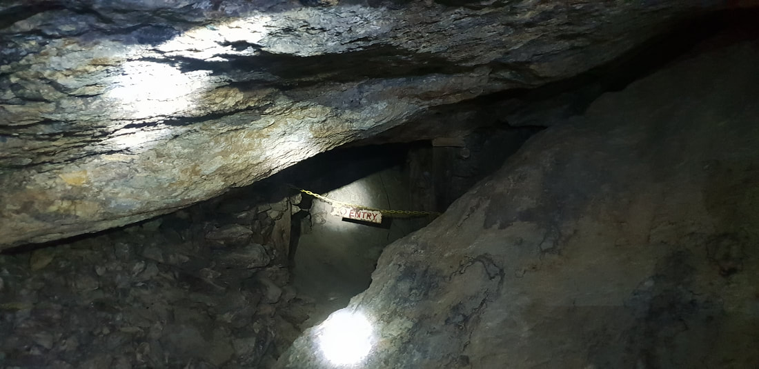
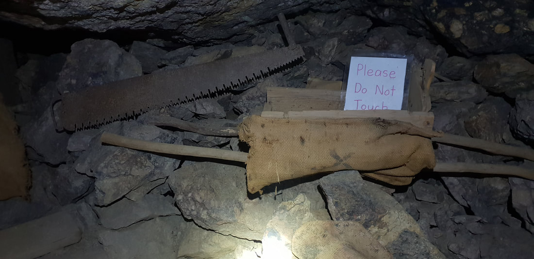
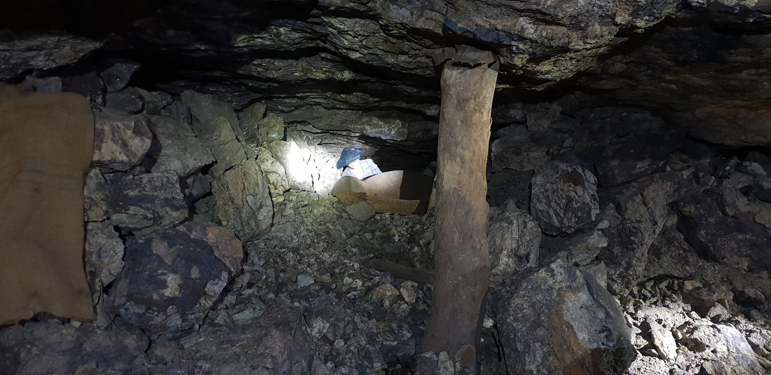
This quirky, yet insightful tourist attraction was most certainly the highlight of our Broken Hill stint. Despite being afraid of the dark and of confined spaces I had a 'blast' exploring the underground sections of this old silver mine and was enthralled listening to stories about boys as young as eight working the mine, that was predominately toiled by Cornish and Walsh miners.
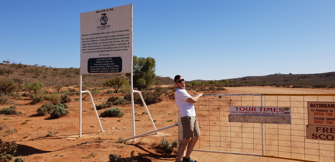
In the 1850's the semi-arid landscape of the Appollyon Valley and of what was to become the townships of Silverton and Broken Hill had prospectors searching for gold. Yet attempts proved unsuccessful and it wasn't until the 1880's when Cornish and Walsh miners from the nearby copper mines of Burra descended upon the land, this time in search of silver. It is said the Daydream Mine, named so as prospector, Joe Meech in 1881 awoke from a day slumber to find himself upon a silvery outcrop, declaring the lease his. However, due to a dispute with the lease it was not until 1884 that the silvery outcrop began to be mined. During the 1880's the region was awash with prospectors in search of the now lucrative silver. Broken Hill was officially discovered by Charles Rasp in 1883, and the Broken Hill Proprietary Company Limited (BHP) incorporated in 1885. The Daydream Mine remains in much of the original condition, showcasing the strength of the Mulga tree that continues to prop up the tunnels and the endurance of the short in stature, but tall in courage miners that worked 12 hours per day, 6 days per week in candle light to extract the ore. The mine ceased operations in the early 1900's and was reopened by an old BHP miner in the 1960's who toiled away at the lode, until his death in the 1980's. After his death the family opened the mine to the public as a tourist venture. |
The JourneyChoose Curiosity The Catalogue
November 2023
The Tags
All
|


 RSS Feed
