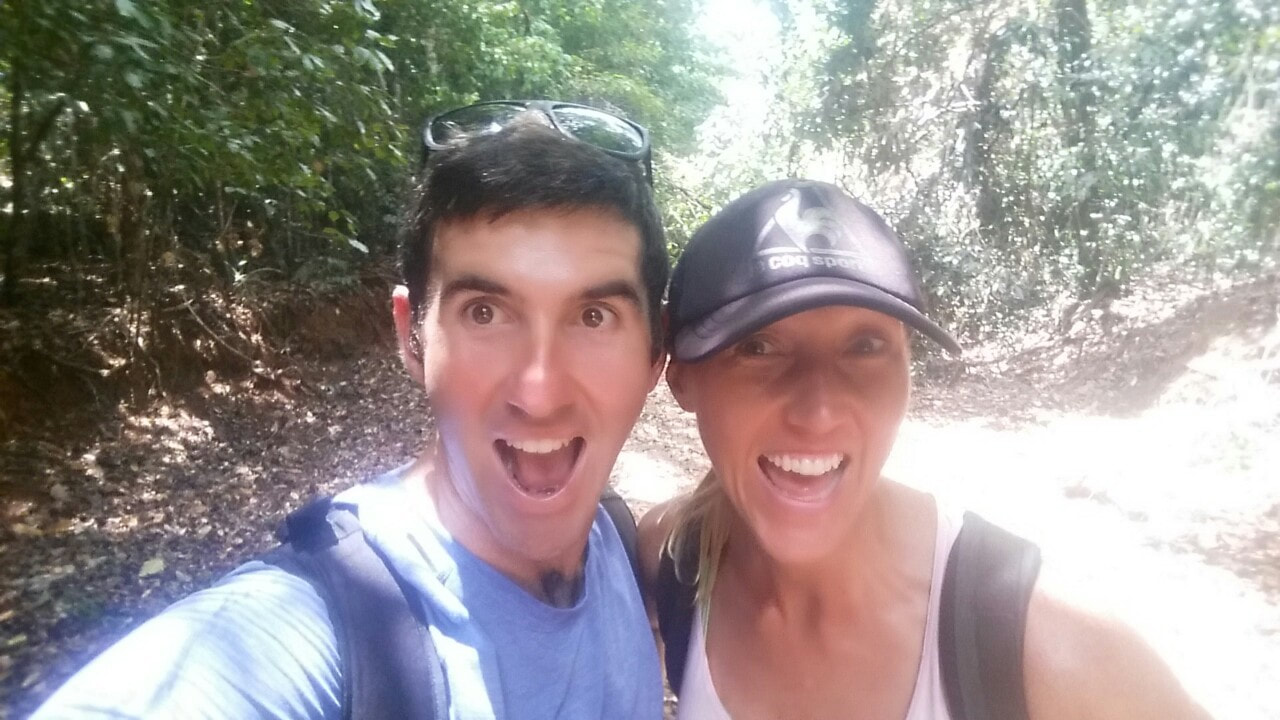
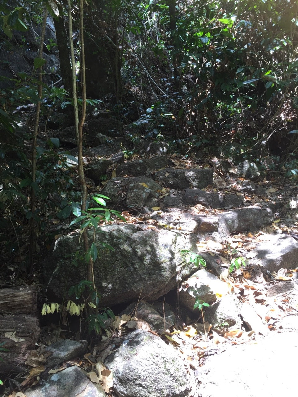
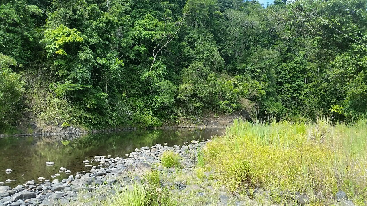
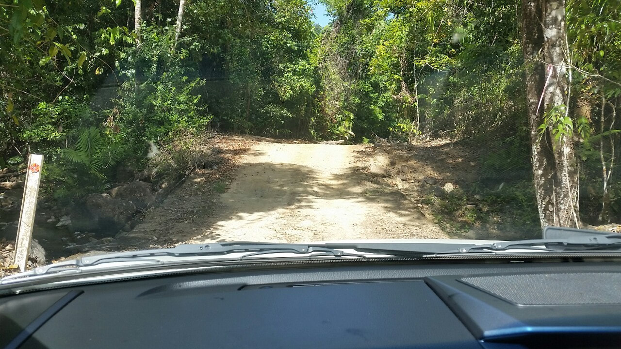
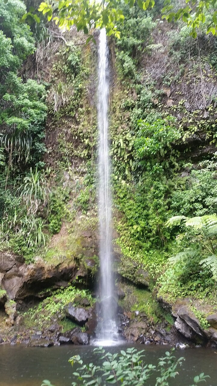
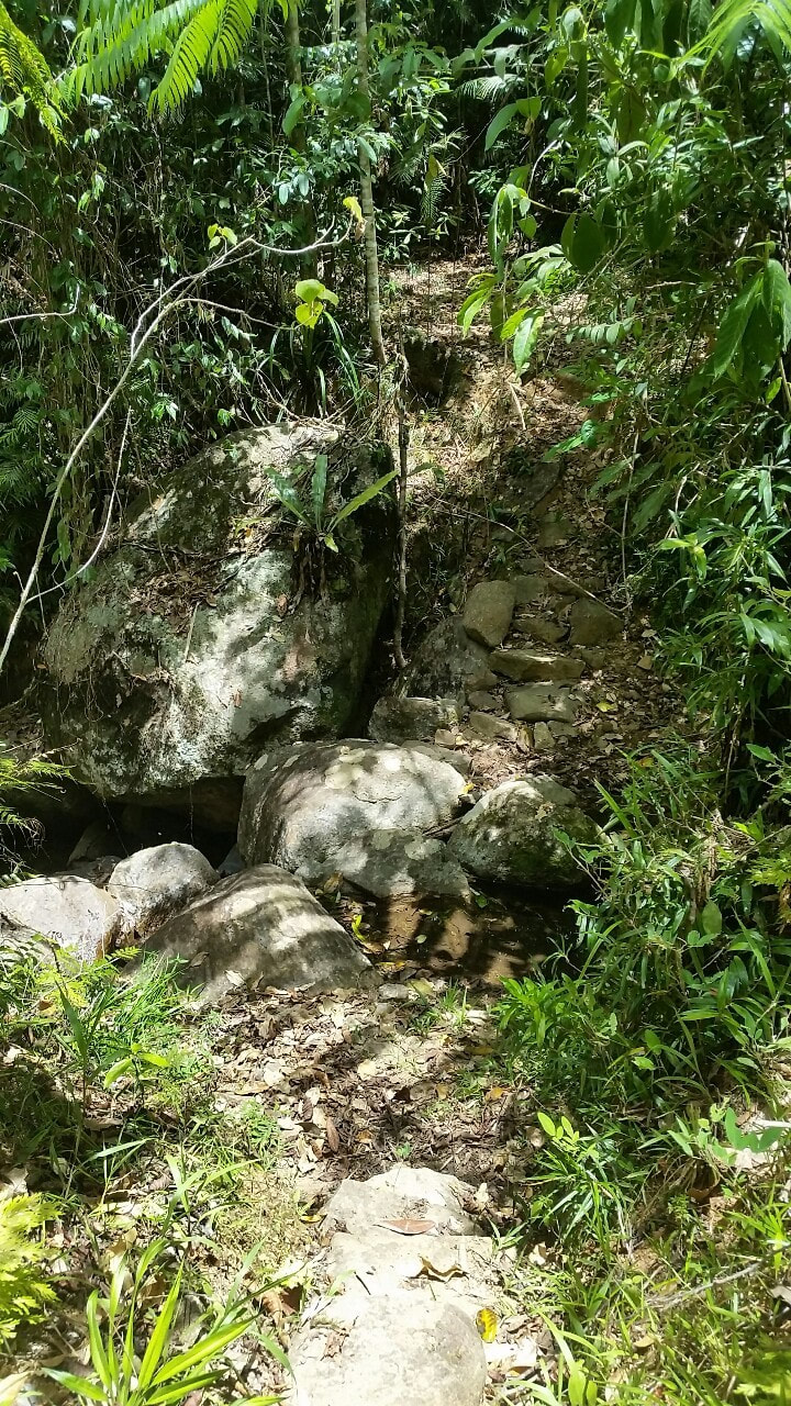
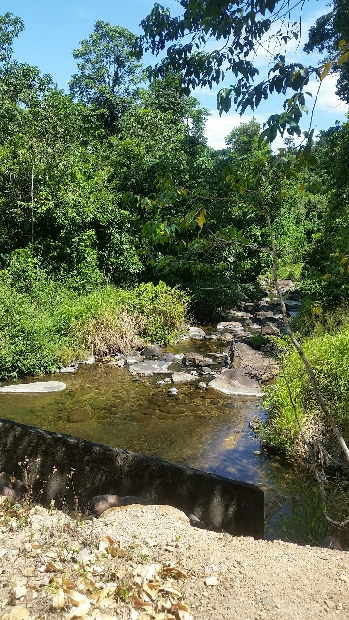
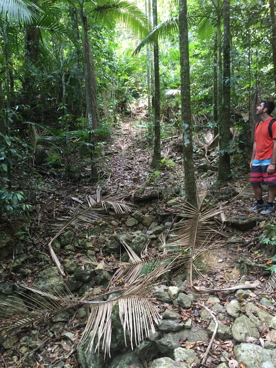
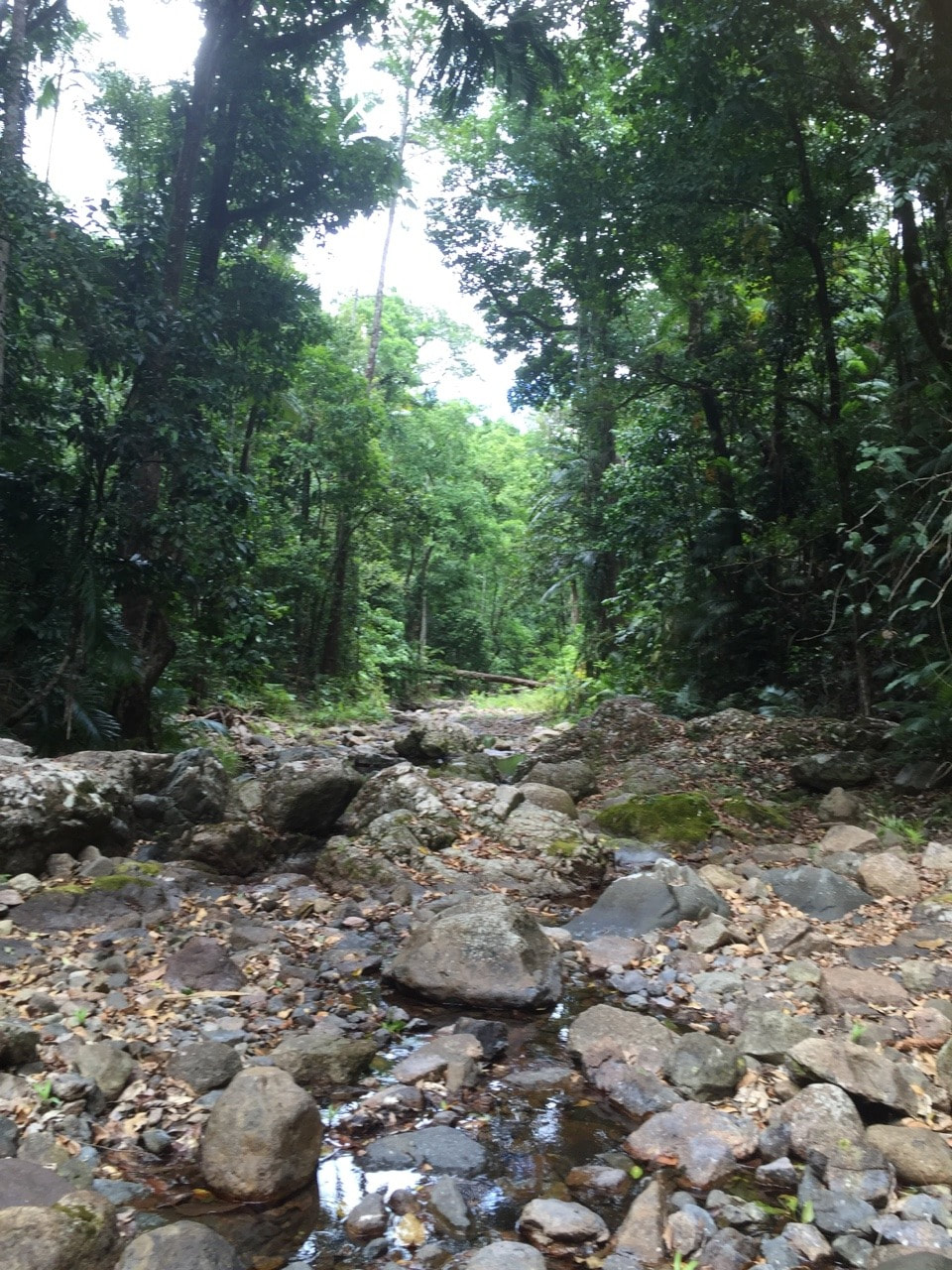
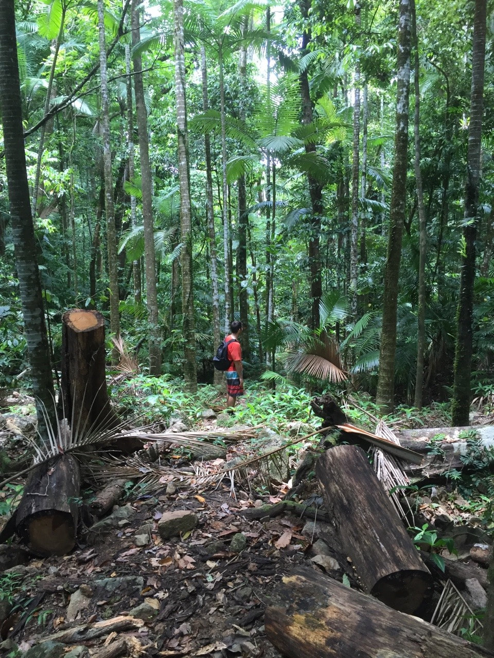
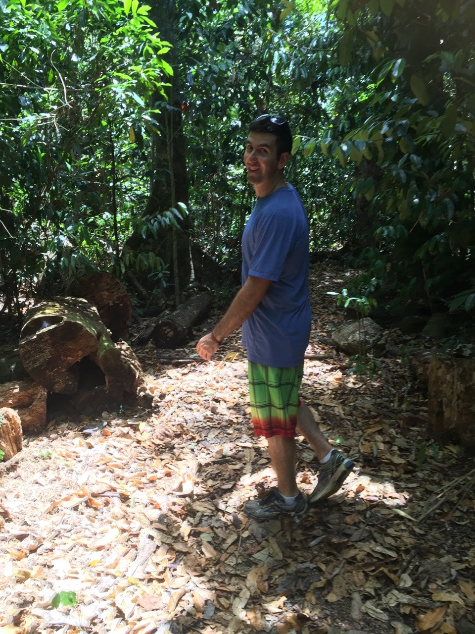
Accessible by a 7 kilometre return steep and rough walking track from the Cochable Creek camp site in the Misty Mountains off Tully Gorge Road is Whispy Falls. This was our first off road trip with Rex as the camp site is accessible by a dirt road. A few weeks or so back we attempted the dirt road in Albert and are happy we didn’t continue as it is definitely a track for 4WD only. Initially we began walking the track to the Elizabeth Grant Falls, however turned back about half way when our nerves got the better of us after seeing some feral pigs. We stopped for lunch by the river then headed onto the Whispy Falls track. This track was challenging in places with plenty of rock climbs and even a rope climb, but well worth the effort. It was lovely to be the only people there and have the entire walking track and camp site to ourselves. 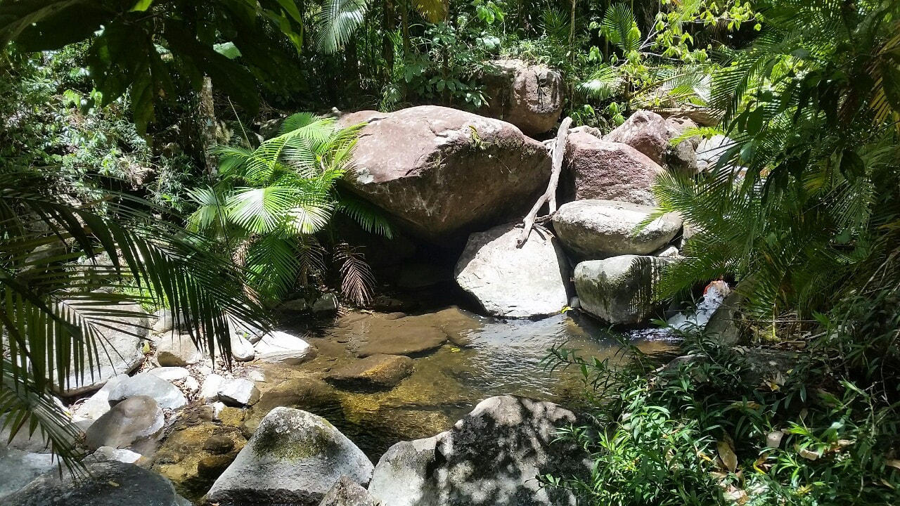
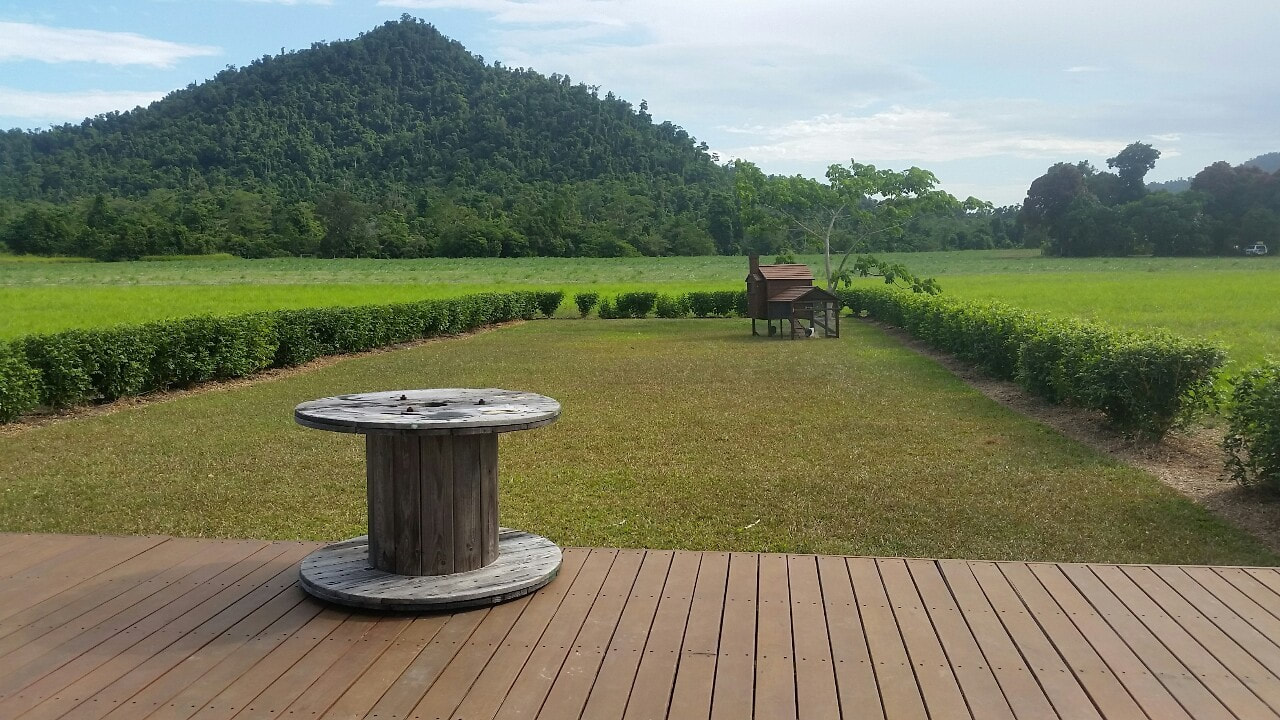 Just outside of El Arish is a lovely exposed recycled red brick shed on a farm 💚💚💚 with hidden surprises including a fruit stall, raw vegan snacks and delicious coffee ☕️☕️☕️ The verandah has a great view of chickens in a cute little coop 🐓🐓🐓 and there's a very playful dog 🐕🐕🐕 ⚽⚽⚽
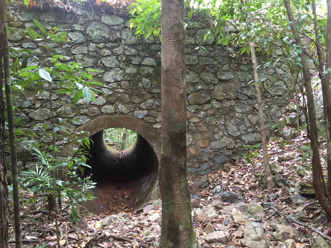
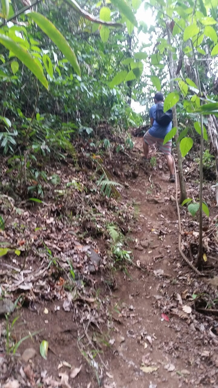
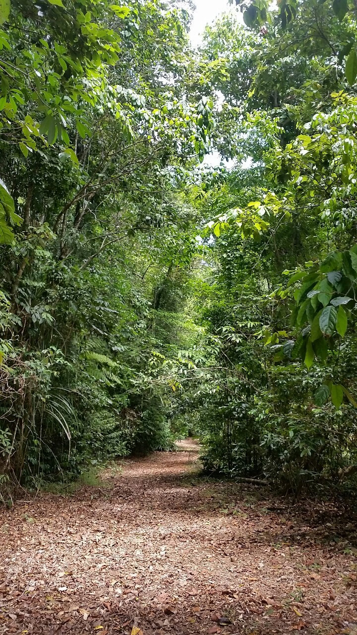
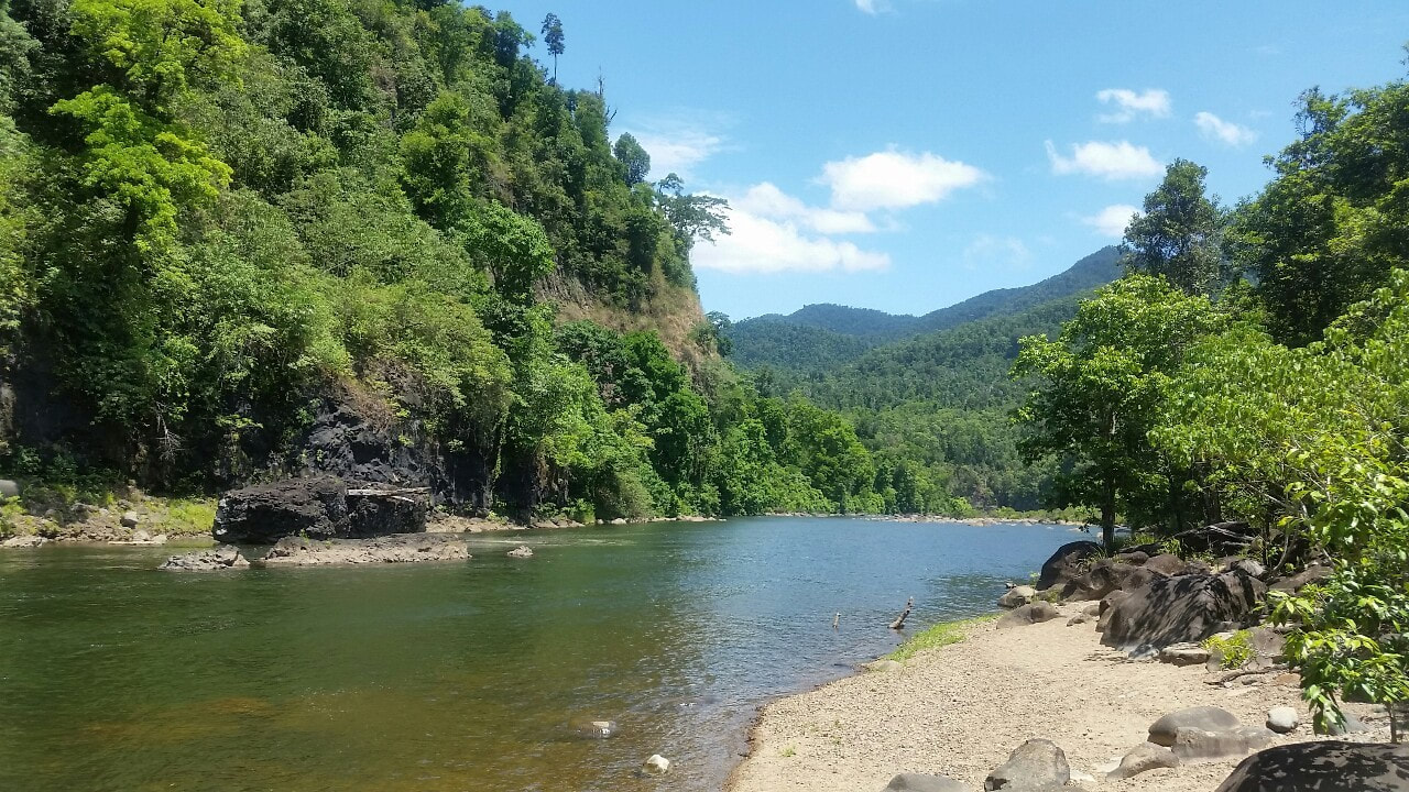
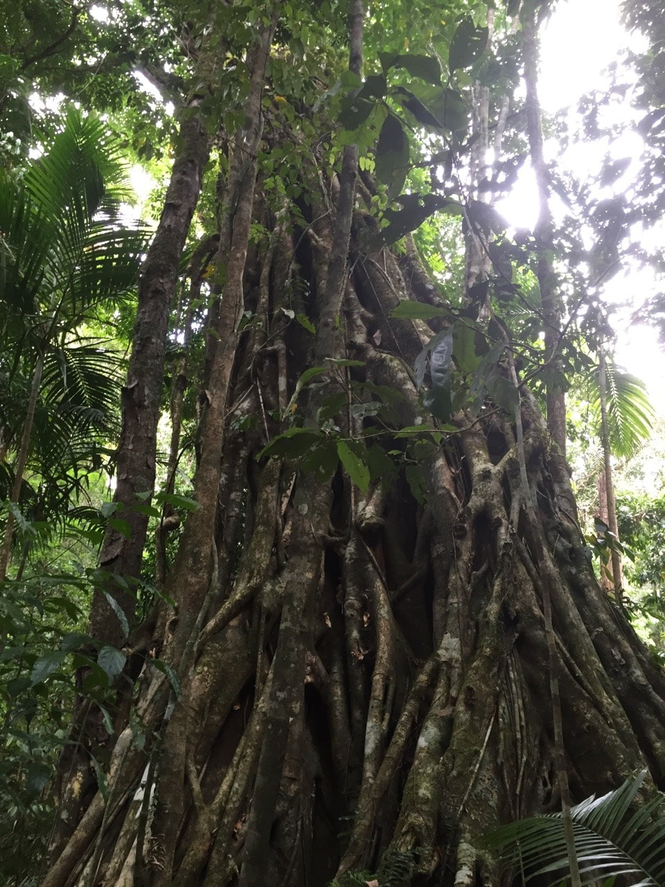
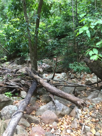
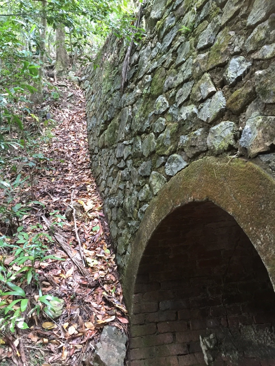
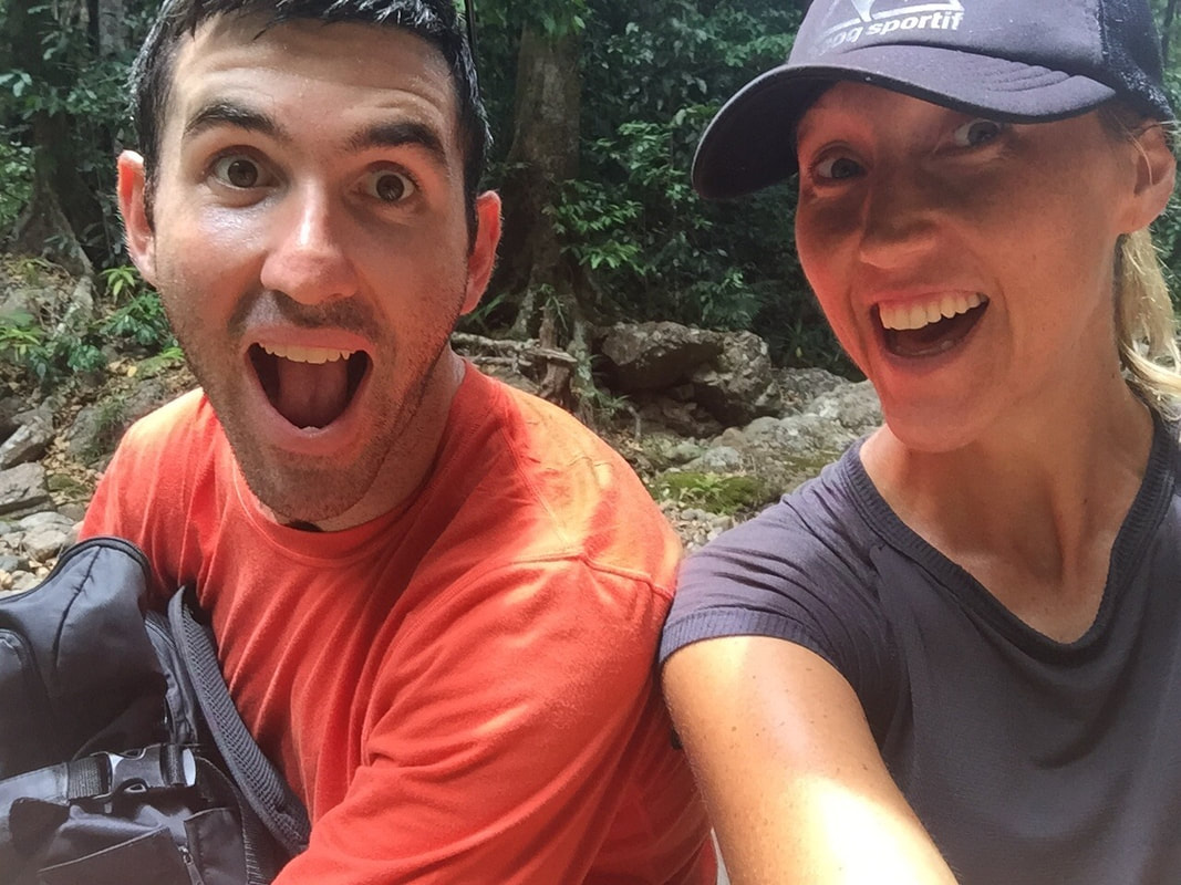 This track located near Cardwell, takes you on a journey up and down the range through bush land and rainforest to the oldest surviving example of civil engineering work in North Queensland, a stone rubble and brick bridge constructed in 1864. The bridge was constructed as part of a bullock road and is now listed on the Queensland Heritage Register. Whilst we were there we spoke to the ranger and a builder conducting minor repairs to the bridge. It was fascinating to have a yarn and listen to the strict conditions of the heritage department. The track continues on an earlier Aboriginal trail, which spans from the coast through the Cardwell Range arriving at Upper Burdekin River, a total distance of 160kms. We noticed a large strangler fig, a hollowed interior is all that remains of the original host tree. Shovel spotted a local black and blue tree snake and Gumby spotted a small water python. Really enjoyable sweaty walk on an uneven rocky and over grown track🐍🍃☀️💦💚
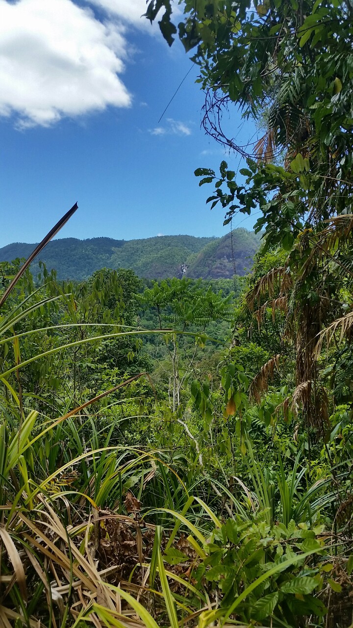
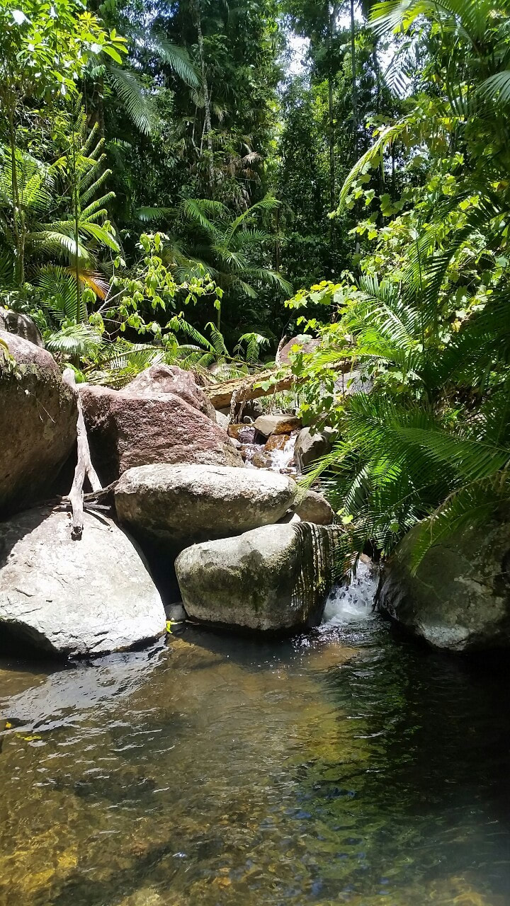
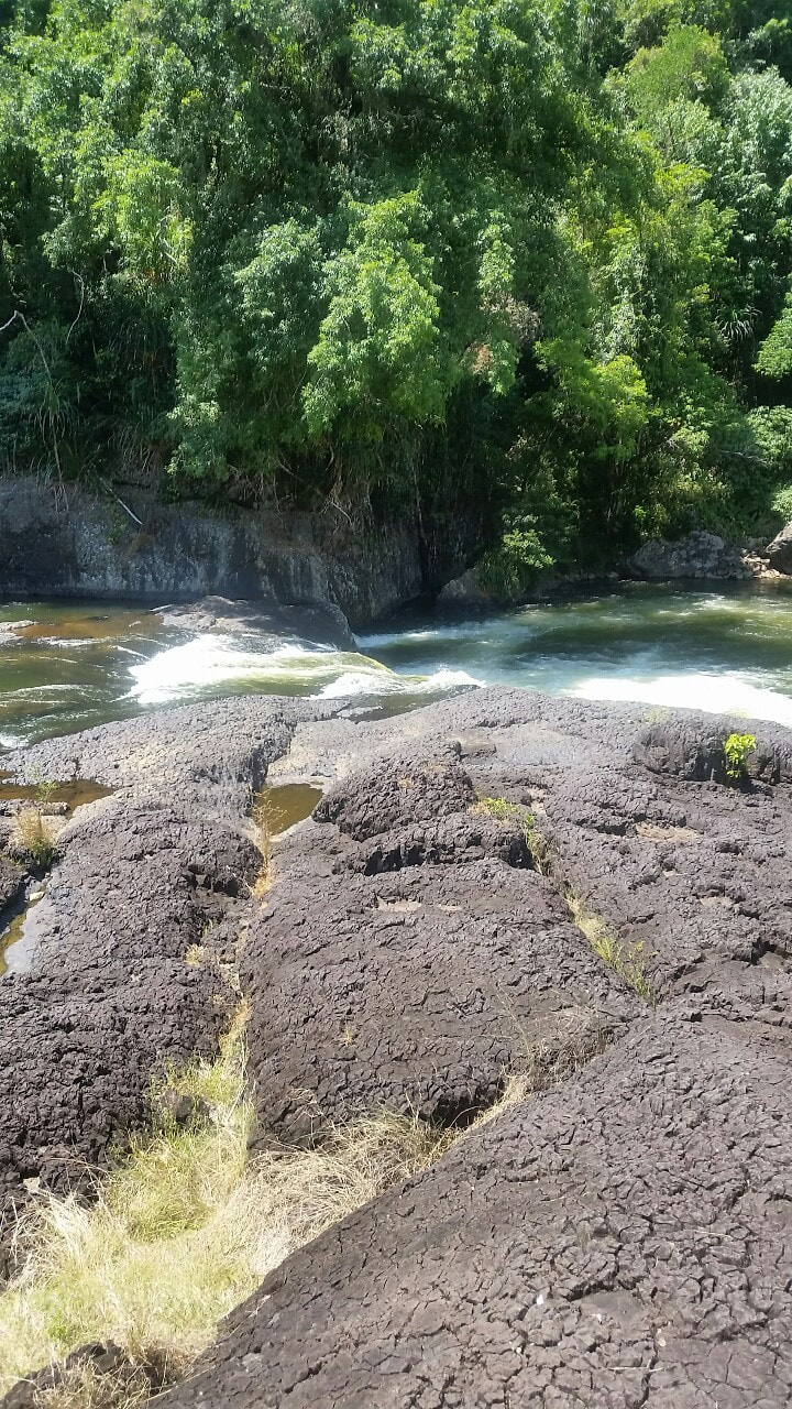
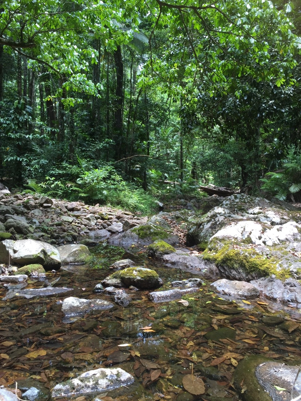
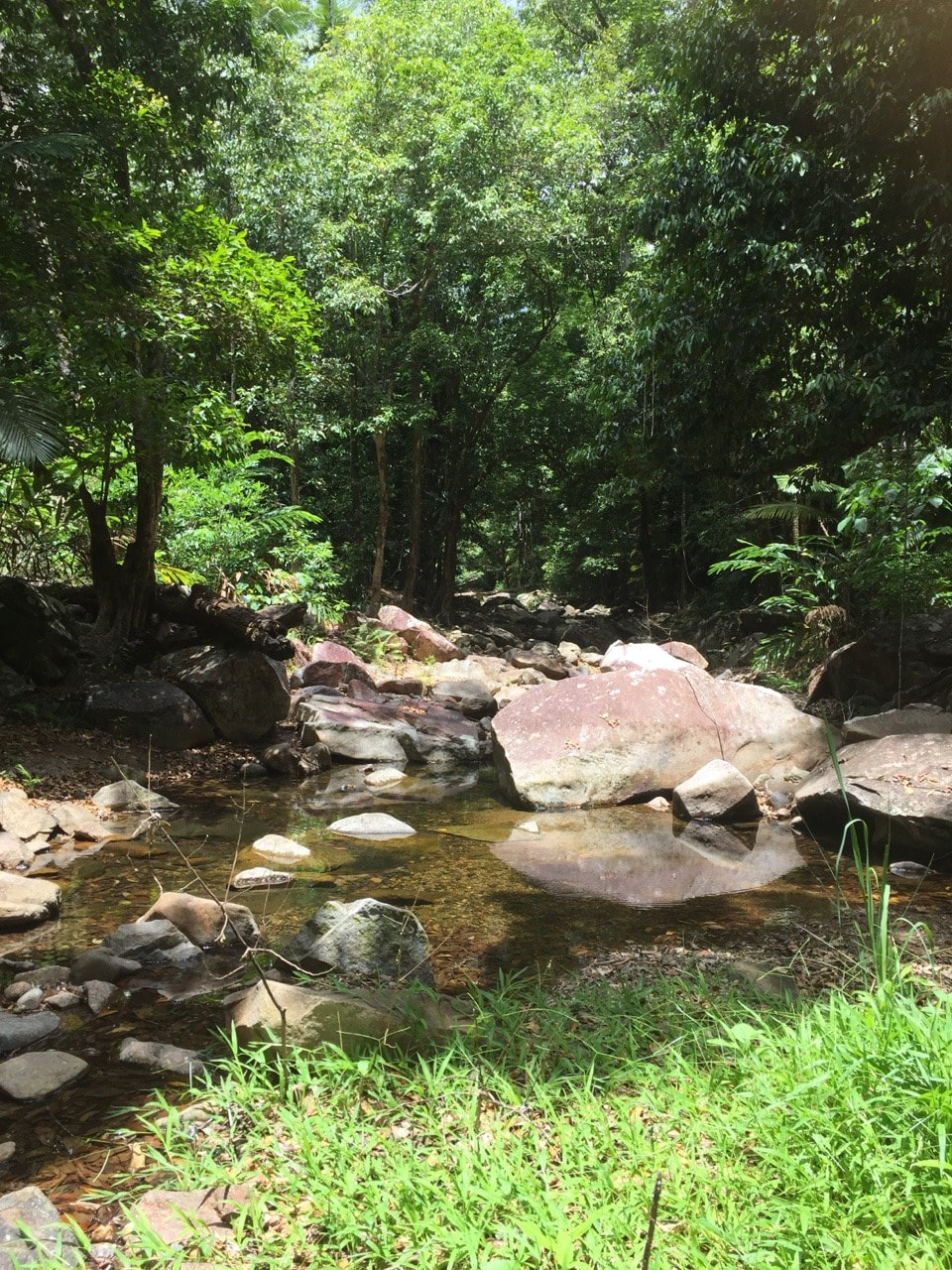
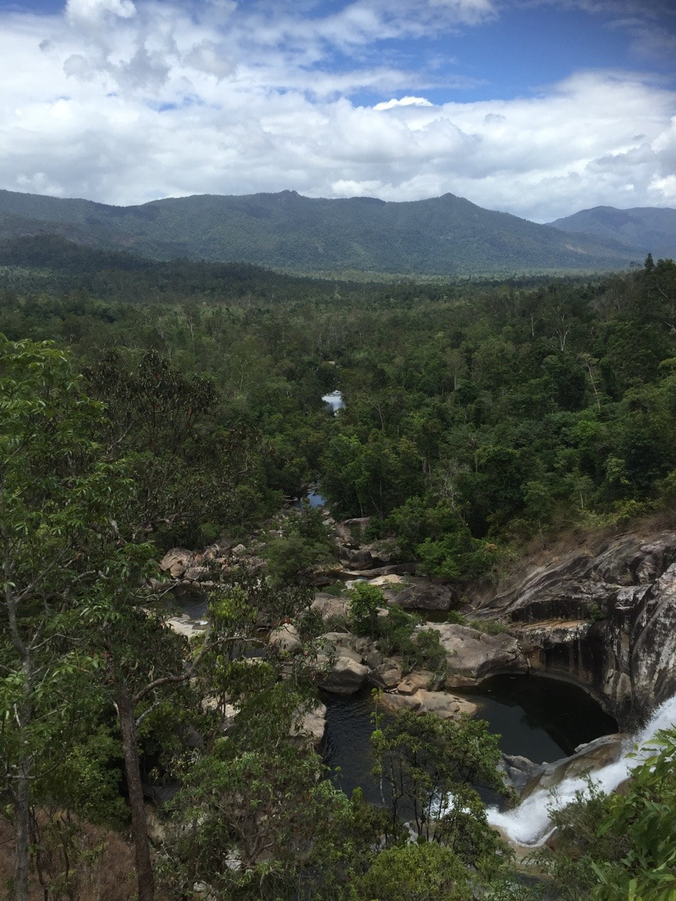
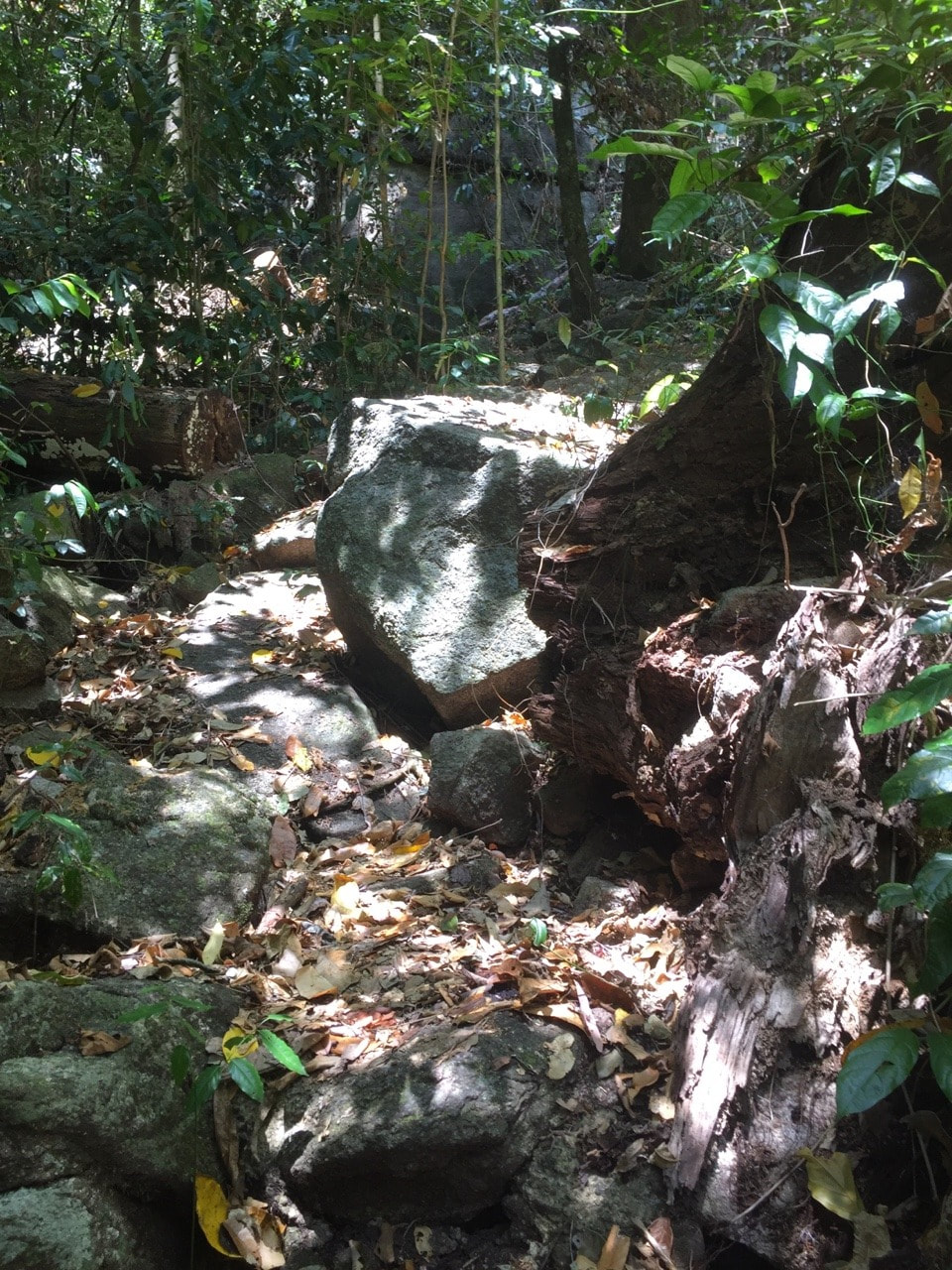
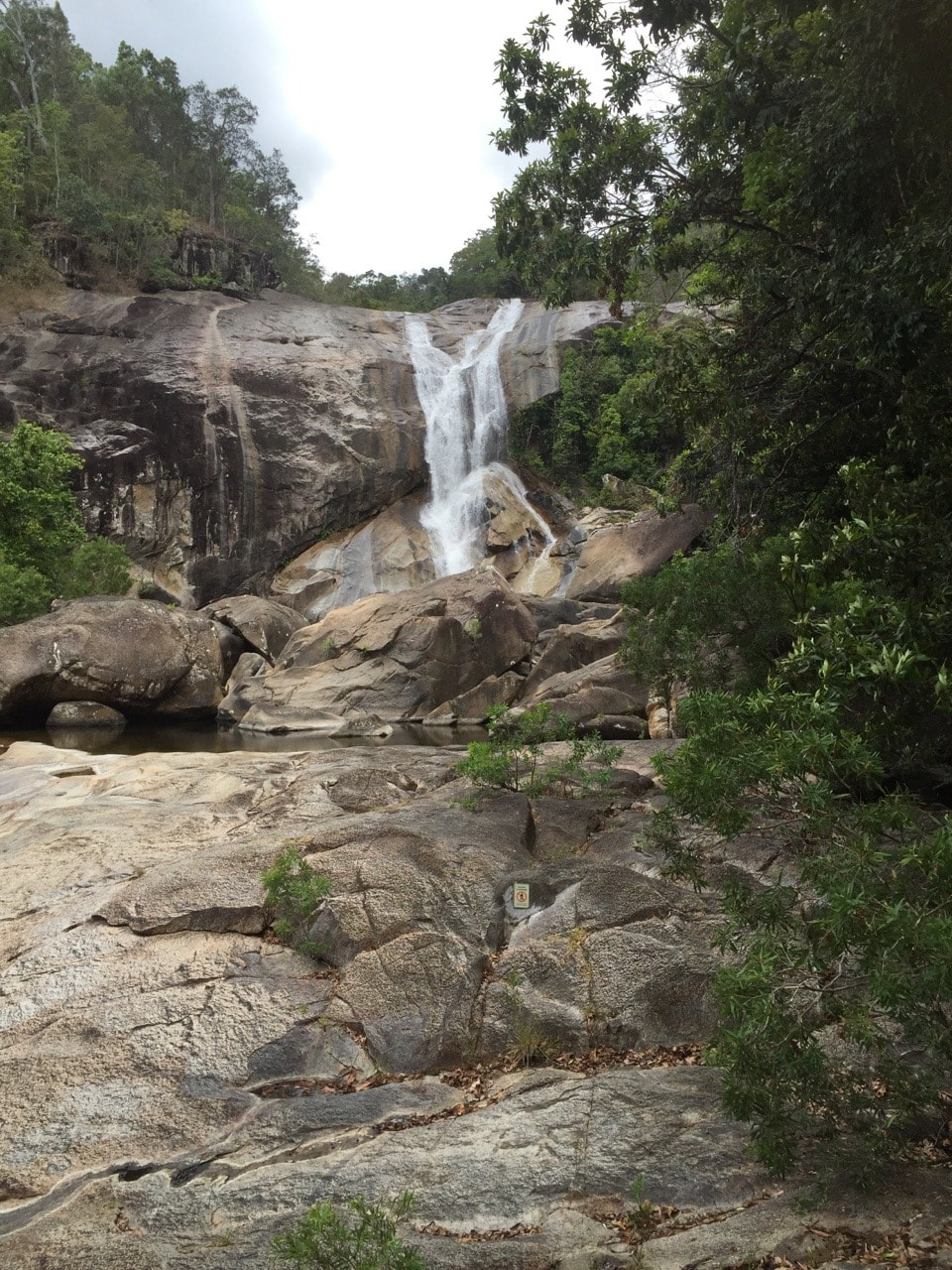
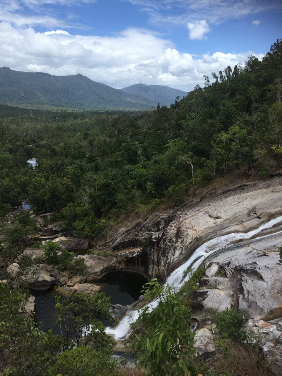  In the Kirrama Range, near Cardwell, is the culturally significant Murray Falls rainforest area for the Jumbun, Girramay and Jirrbal Aboriginal people. It is believed the falls were created when a brown pigeon cut into the rock using a Tomahawk and used the water, which cascaded over the edge to keep his feed of witchetty grubs cool and fresh. Shovel and I did the rocky, uneven walk to the top of the falls and back three times covering about 5.5 kilometres. Highly polished granite boulders frame a spectacular view of the falls from both above and below. The surrounding mountain range is stunning. Grateful to have the opportunity to marvel at such amazing natural beauty 🌿💦💚✌
Propaganda by the Canegrowers Association, entitled ‘The Journey of the Jellybean from Paddock to Plate’ convinced us that sugar isn’t all bad 🍭😋
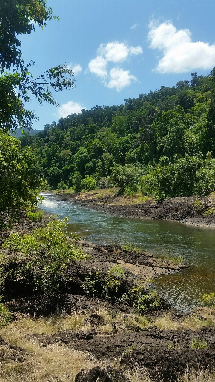
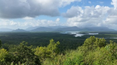
A scenic drive with plenty to see on the way. The Hinchinbrook lookout is worth pulling over for a break. Shovel’s bro, sis and fam live in The Ville. It’s always so much fun catching up with everyone #constantlylaughing 😂
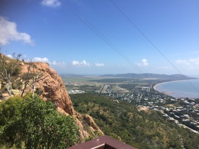
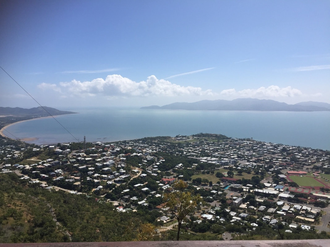
View from Castle Hill overlooking Townsville. Shovel when he lived here jogged up this hill - what a machine. But we opted to drive this time.
|
The JourneyChoose Curiosity The Catalogue
November 2023
The Tags
All
|


 RSS Feed
