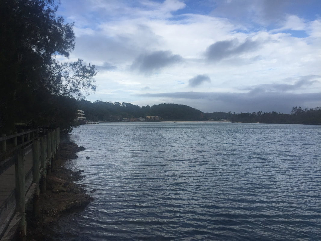
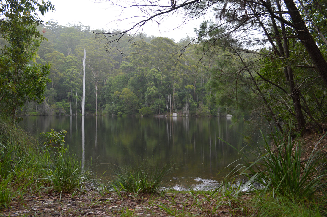
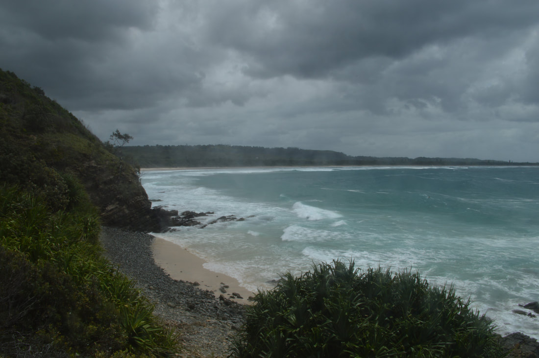
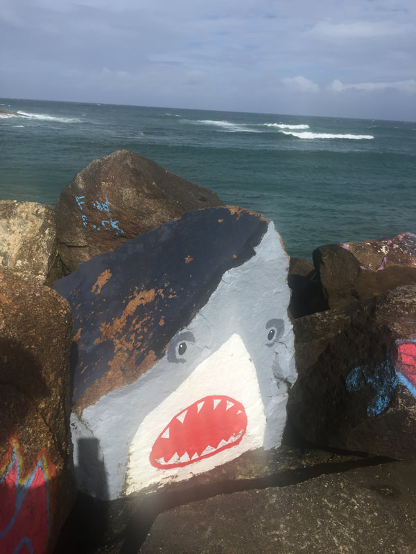
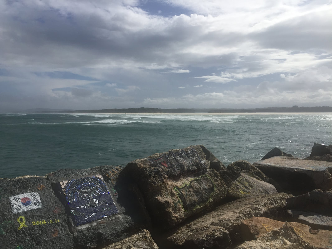
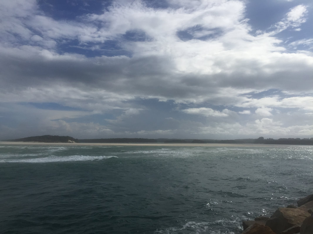
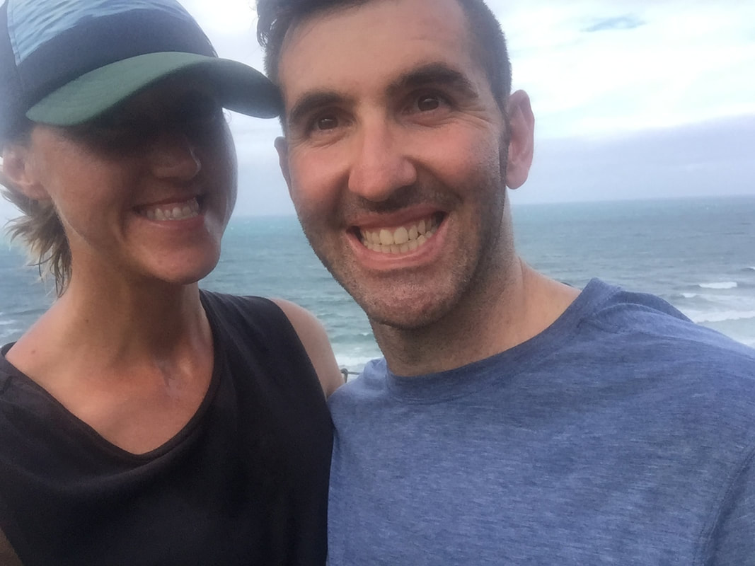
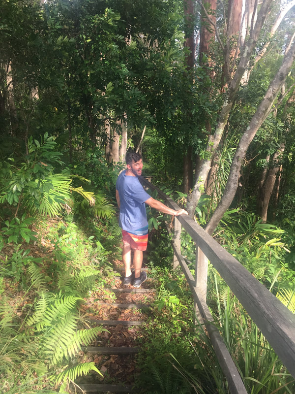
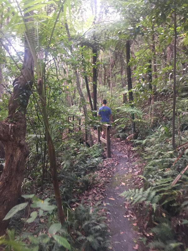
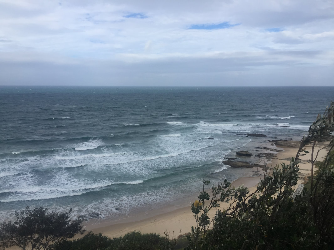
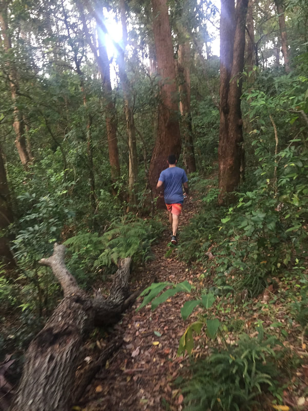
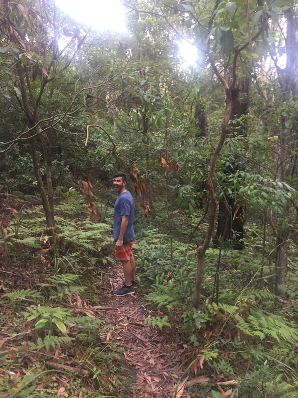
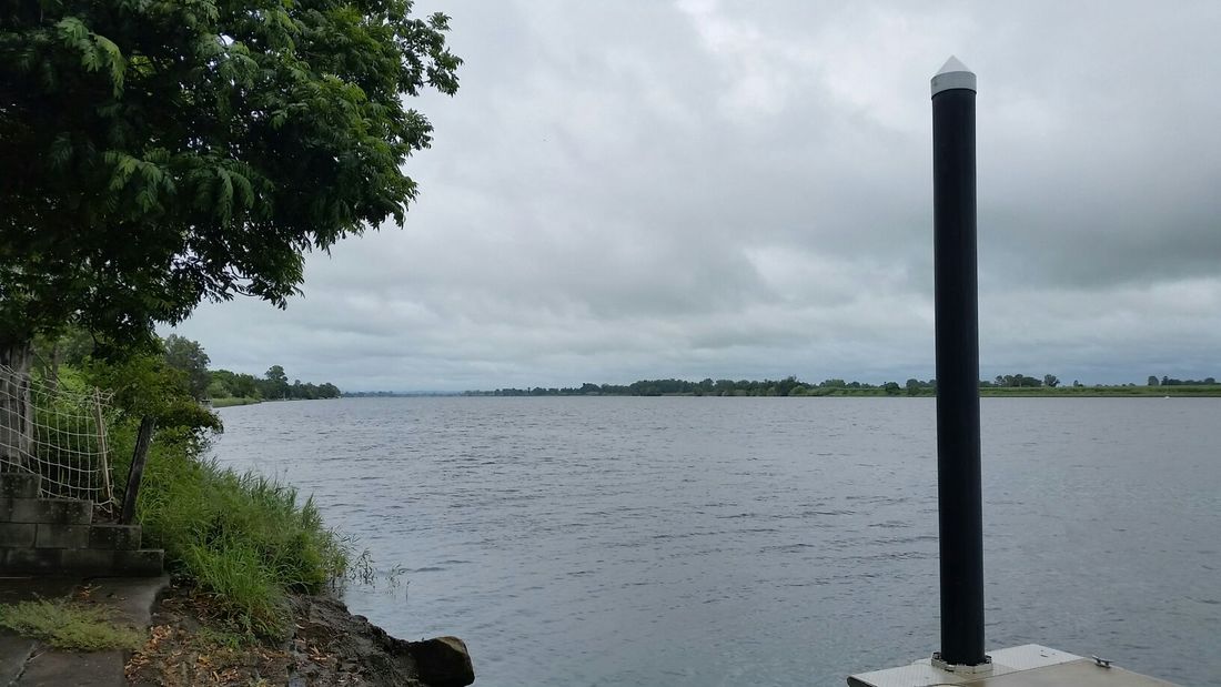
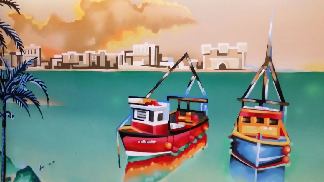
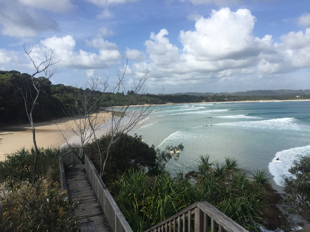
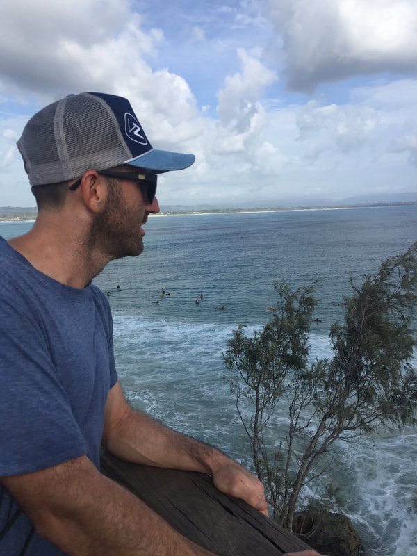
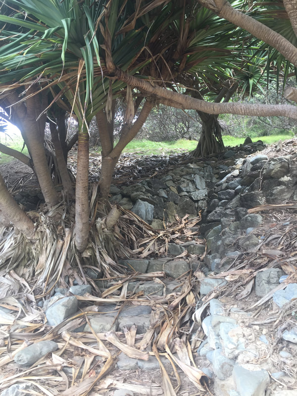
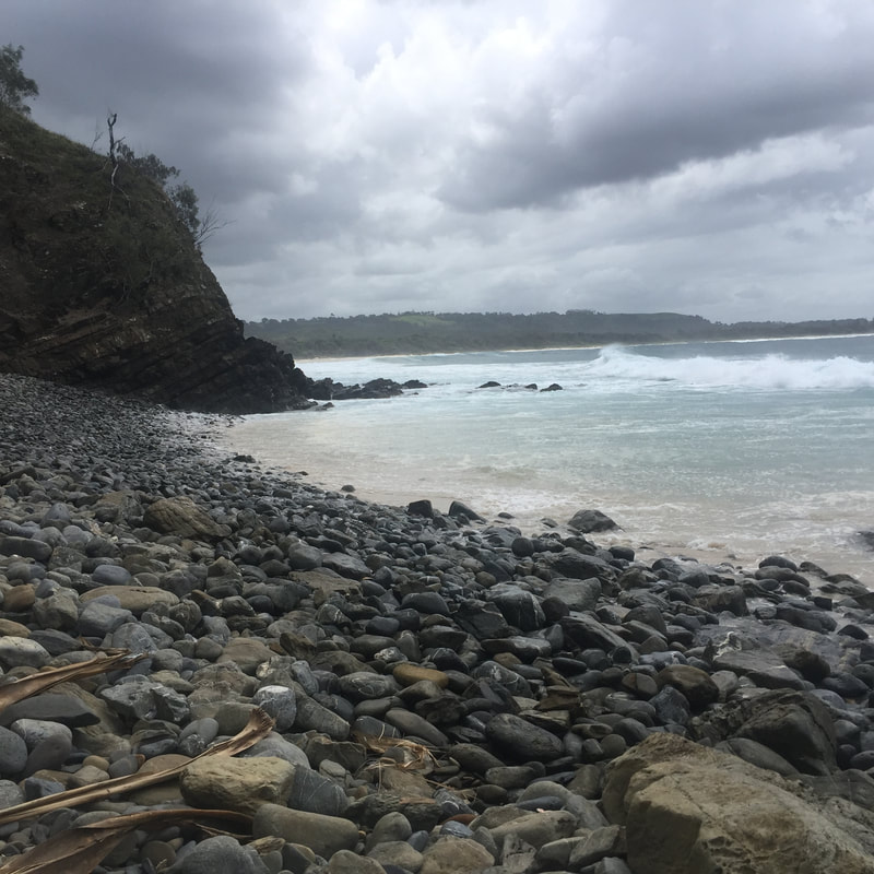
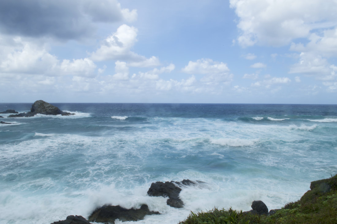
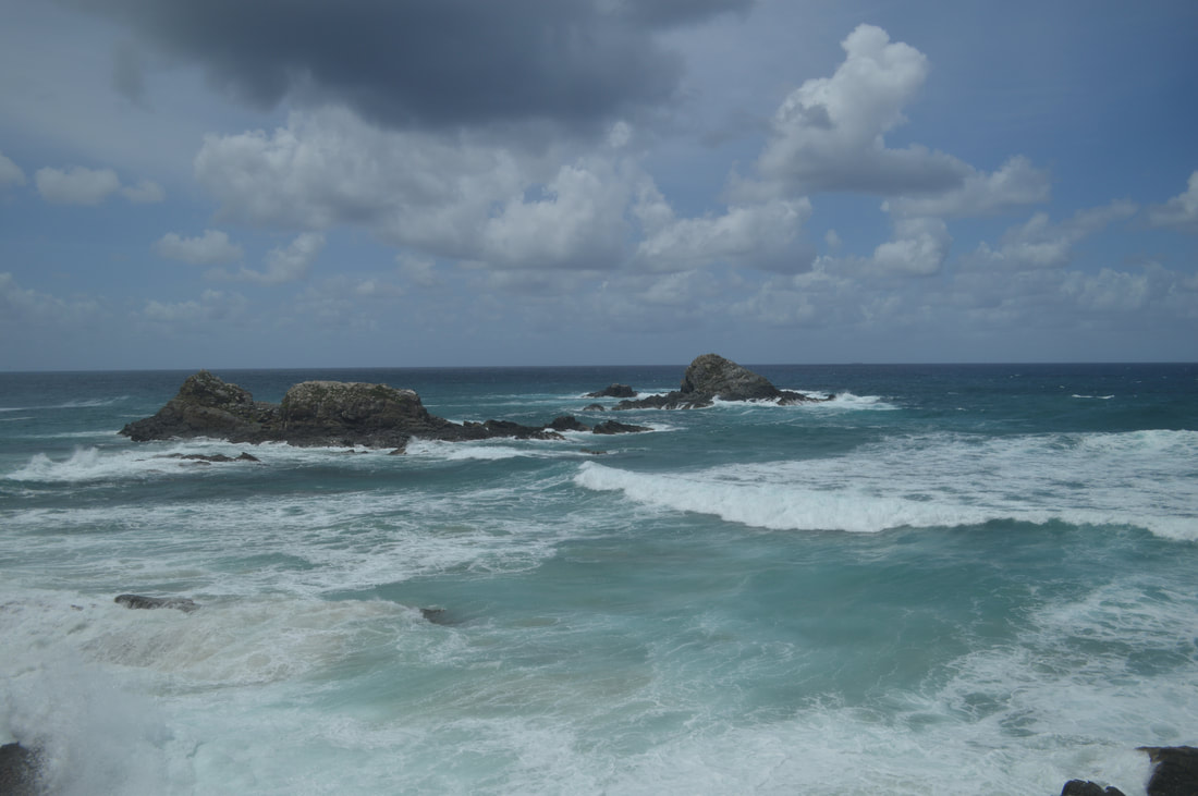
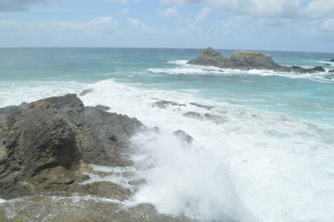
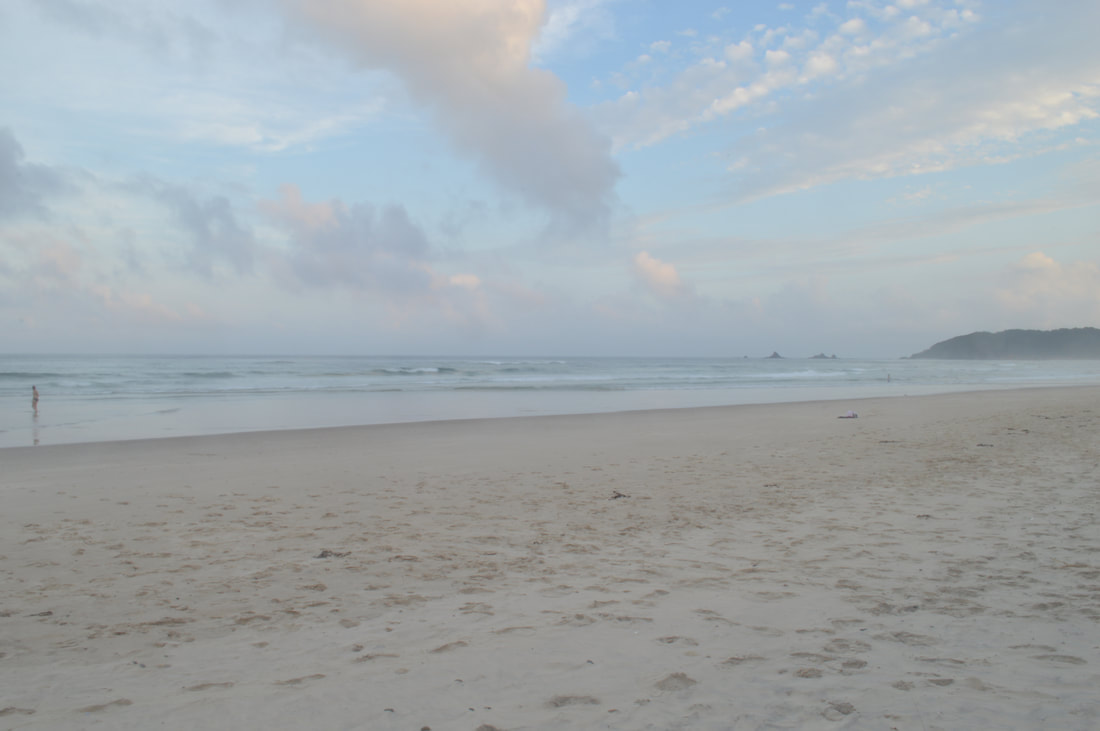
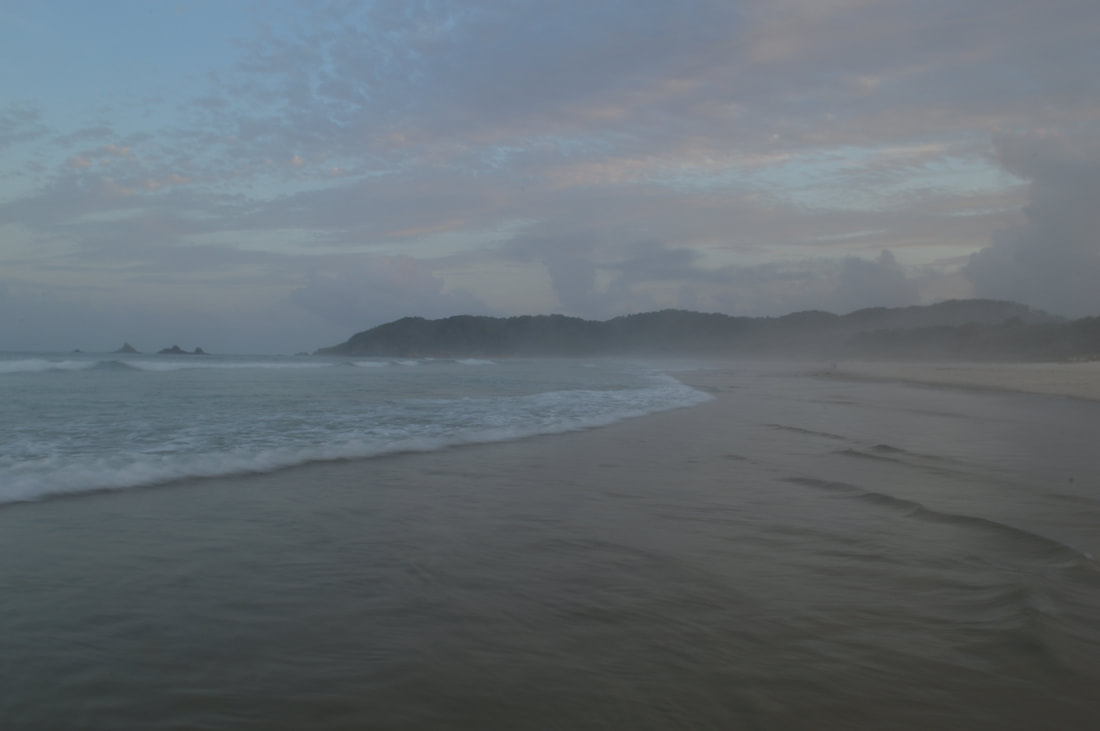
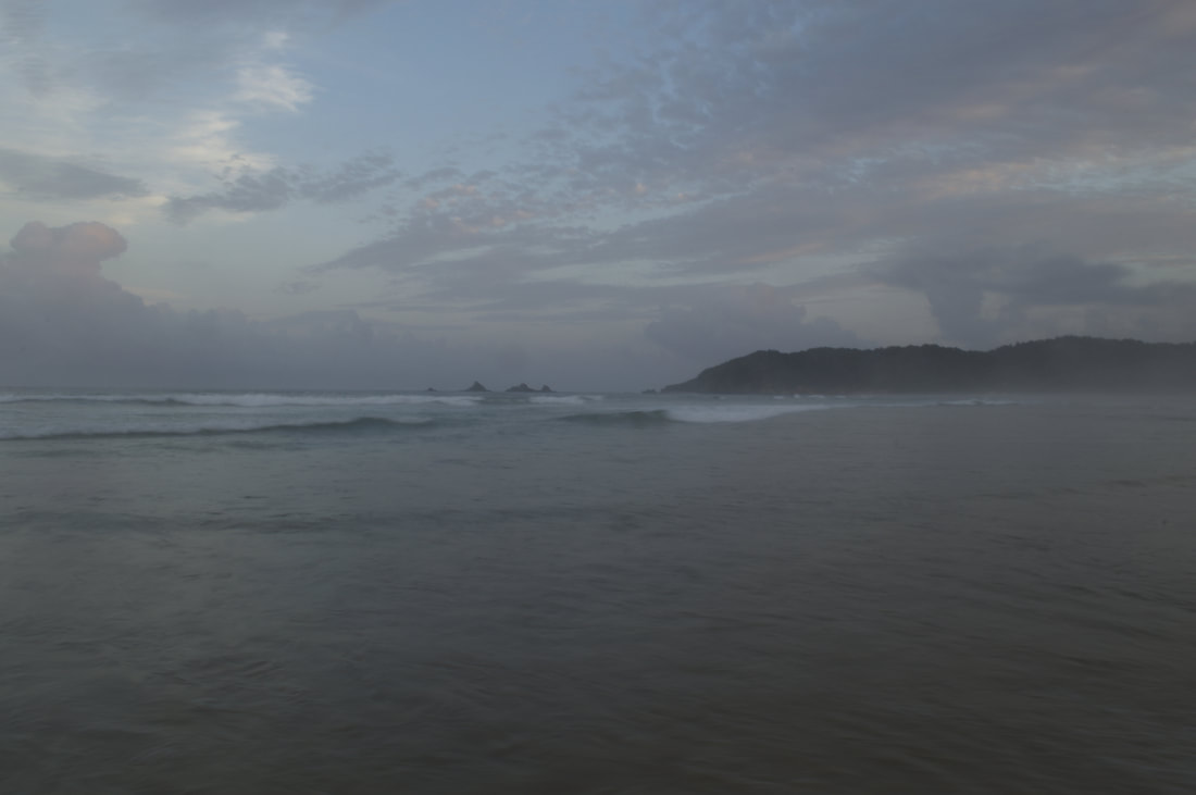
 In local indigenous Gumbaynggirr culture the word Nambucca loosely translates to 'Entrance to the Waters.' The story goes, John Oxley surveyed the Nambucca Heads Region in 1820, although there may have been european settlers in the region prior to this time, with the logging of cedar beginning in 1842 and the development of the town occurring shortly thereafter. Nambucca Heads boasts one of the oldest Life-Saving clubs in Australia and holds the reputation as the club that started the junior life-saving movement, we now know as 'Nippers.' We walked, admiring the V-Wall, an outdoor rock art gallery located on the breakwall of the heads. Anyone and everyone has either painted or created an artwork in spray paint or mosaic in tribute to or in memory of a person or a trip to Nambucca Heads. It's an interesting assortment of colour and personal creativity and well worth a look. We then jogged a track called, The Nature Walk that lead us through a rainforest located right in the centre of town and up a hill towards Captain Cook lookout, which provides views out over the Pacific Ocean. We took the same path back traversing the boardwalk parallel to the River and back to our caravan park situated on the heads.
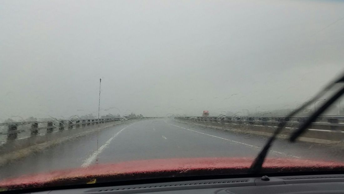
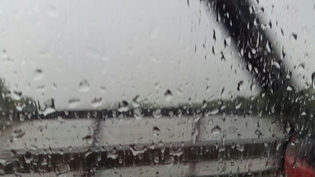
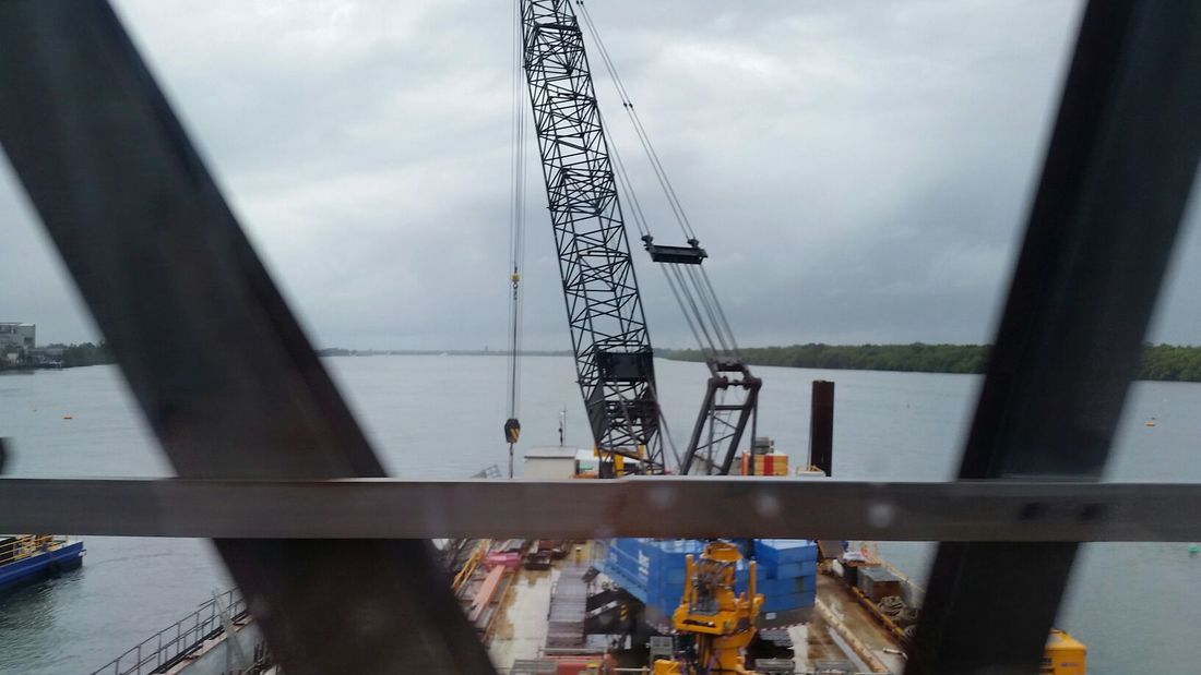
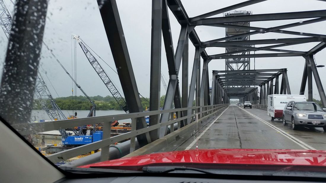
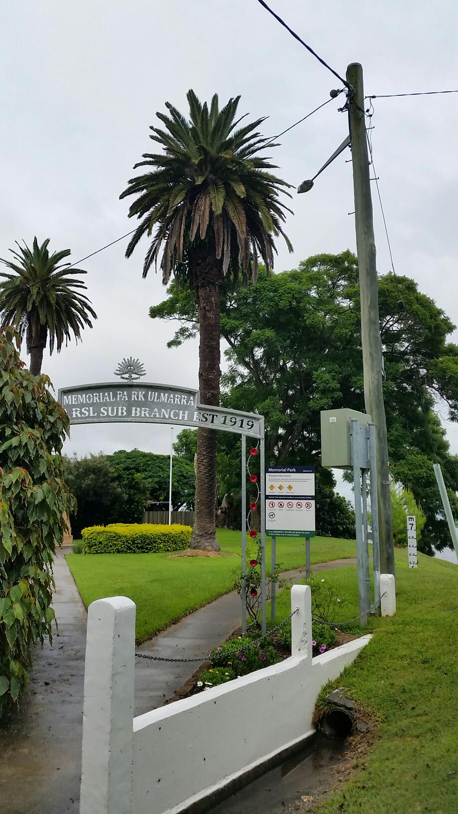
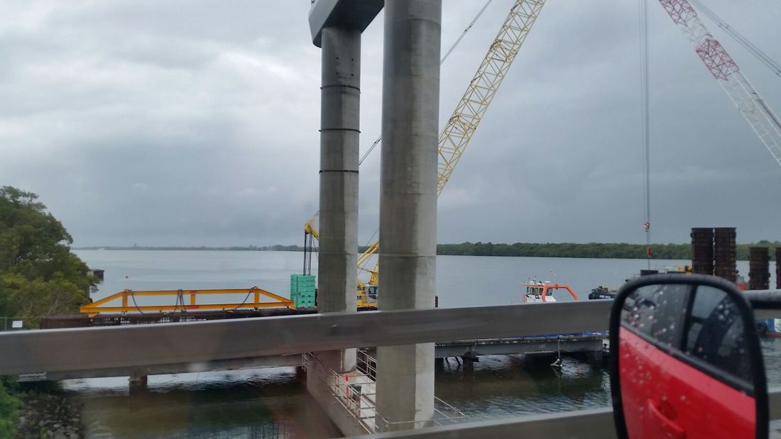
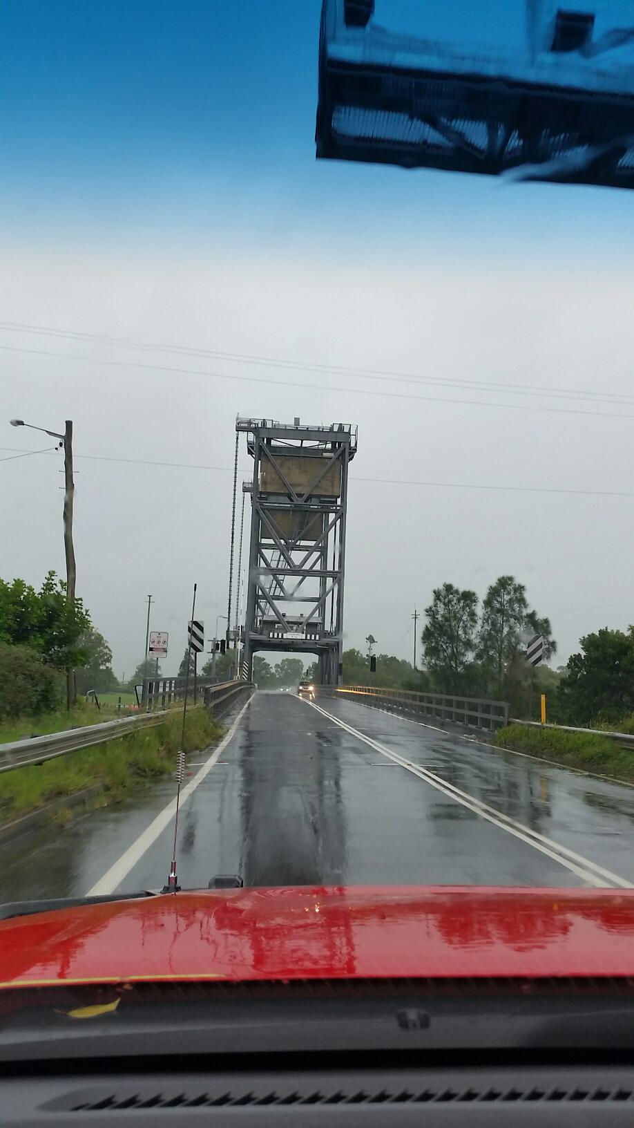
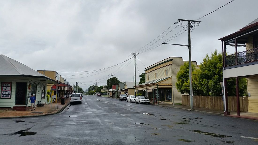
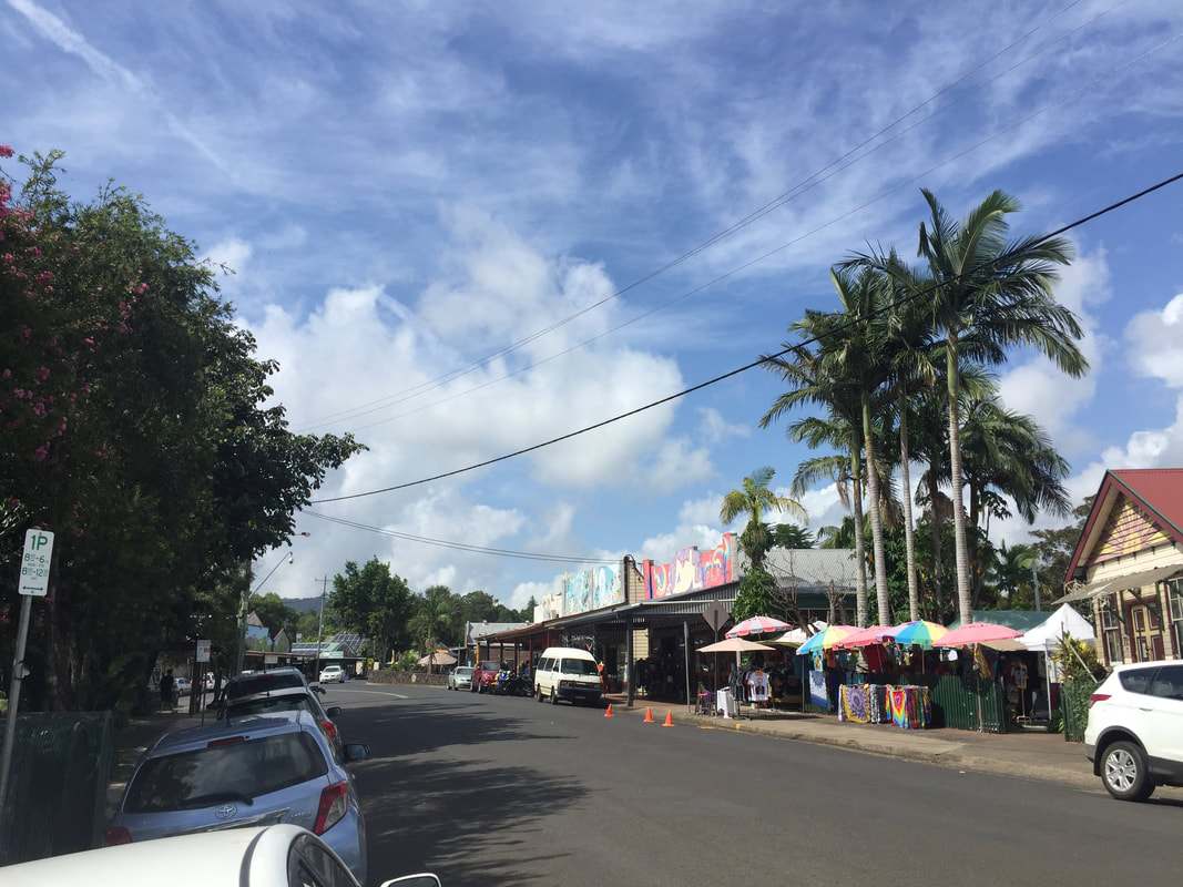
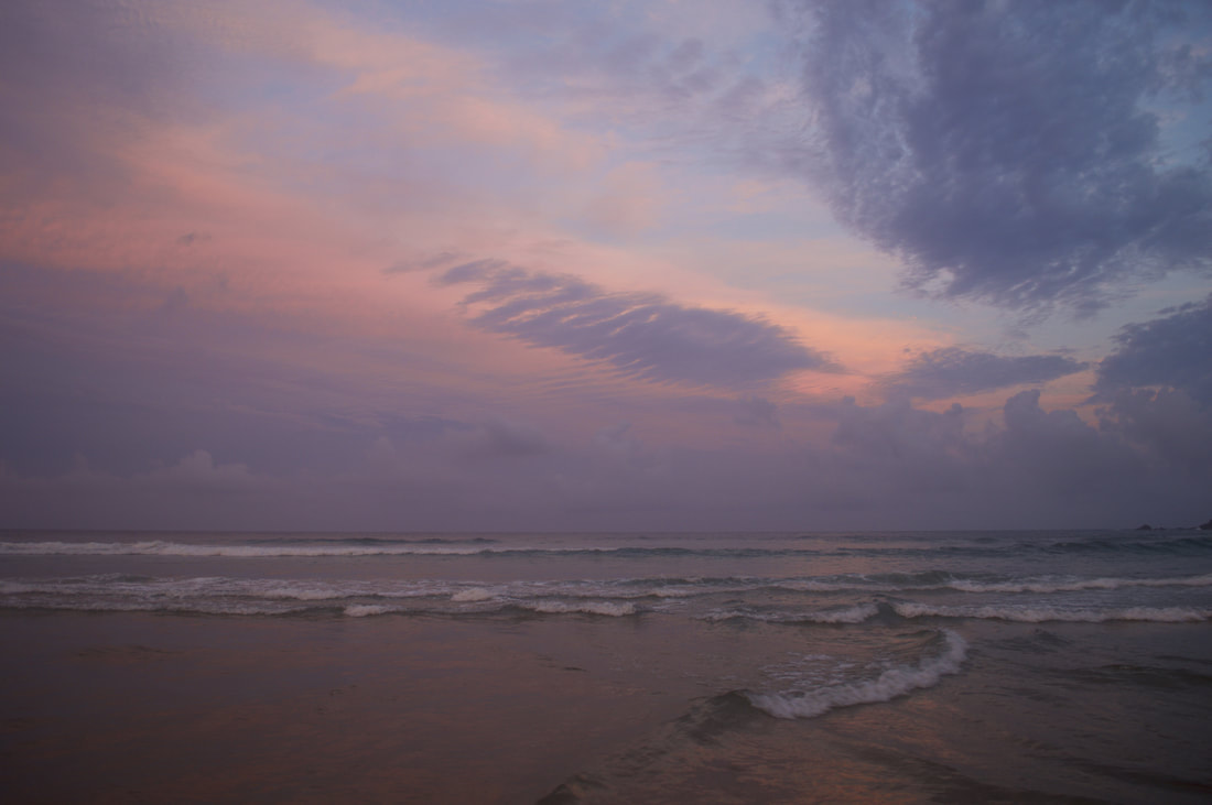
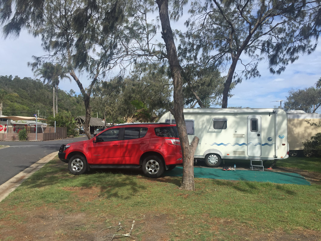 A long drive of 275 kilometres had us setting off early towards our next destination, Nambucca Heads. Despite the torrential downpour, we pushed on travelling ever so slowly through sheets of rain on roads well below standard. And that says a lot coming from living in Mount Isa this past year. But thankfully the further south we drove the more the roads began to smooth out and the rain began to die out. We passed through Coffs Harbour taking in a quick glimpse of the 'famous' Big Banana and reminisced about it appearing much bigger when we were kids. And stopped at a quaint town adjacent to the Highway called, Ulmarra, which butts up against the Clarence River. The Clarence River is the second largest river below the Tropic of Capricorn, in mainland Australia, after the Murray River. Unlike the caravan park at Broken Head, this caravan park had us parked on a flat site and set up without any hassle, which gave us time to head out and explore the town.
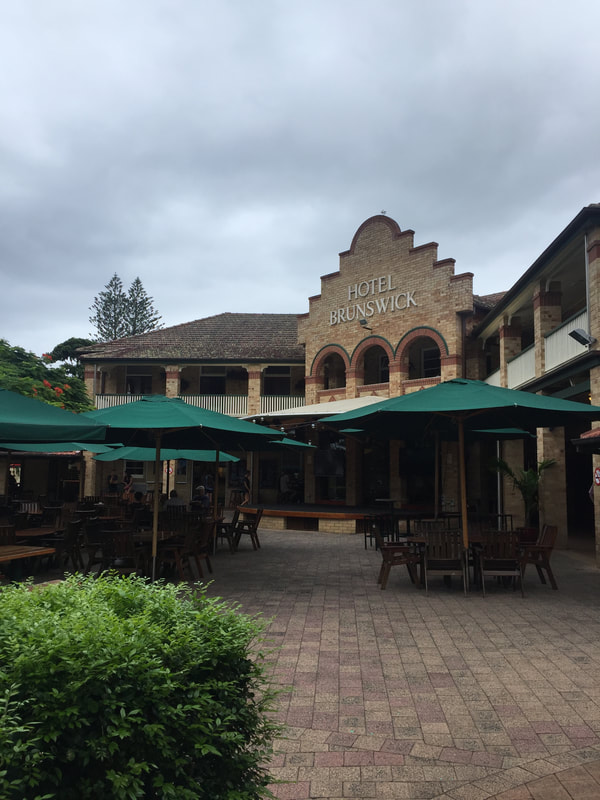
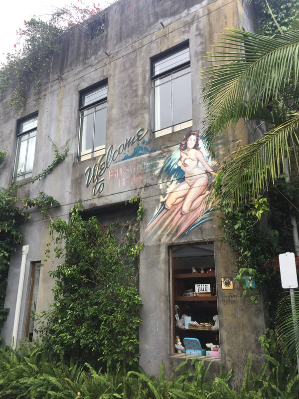
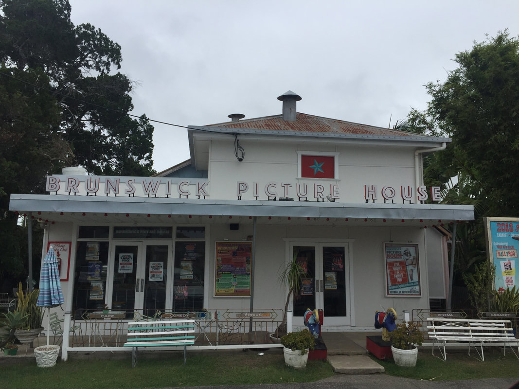
We ventured over to Brunswick Heads after a recommendation from the 'suave' hairdresser I went to in the now uber-trendy, Bangalow, she mentioned calling it 'Bangahole' as a kid, but now it's a haven for the insta-stylish. Bang on recommendation, Brunswick Heads is what I had imagined Byron Bay to be like. It's casual, but tidy and charming with a hit of retro chic and there's even a few groovy vintage second hand shops scattered around for good measure. We ate a much needed steak at the 'Bruns' hotel, but deciding we were still hungry and found a proper classic bakery, decked out in rustic furnishings and chowed down on a lamb and rosemary pie with an enjoyable almond mylk chai latte for myself and a delicious almond mylk latte for the Shovel. Despite the bleak weather there were still plenty of people traversing the pavement or relaxing in cafes, but the atmosphere, unlike Byron Bay wasn't grungy or intense. We reminisced about what our week would have been like had we stayed in the Caravan Park here instead, until we checked out the prices... Nah to be honest we've had a fantastic week in Broken Head. It just wasn't the completely chilled vibe we were hoping for. Nevertheless there's still a few more places to visit down the coast so we'll see what else is out there.
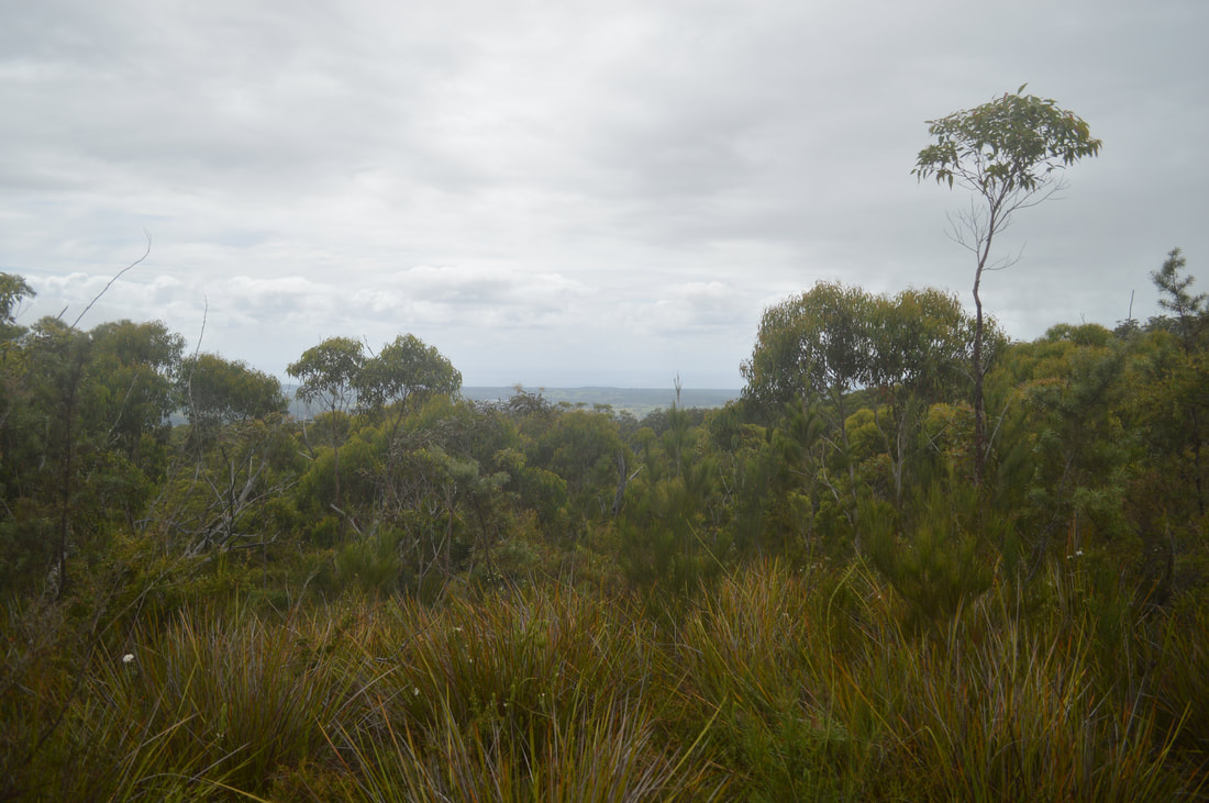
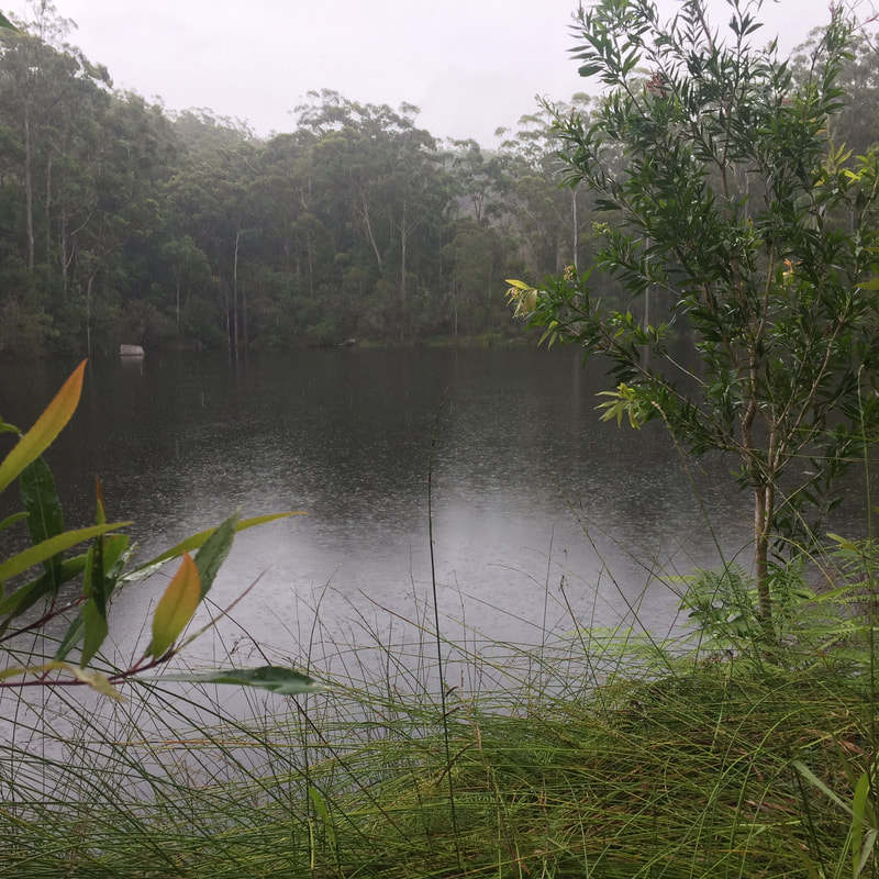
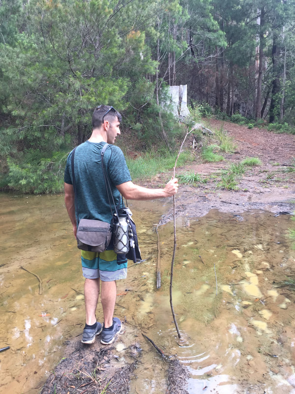
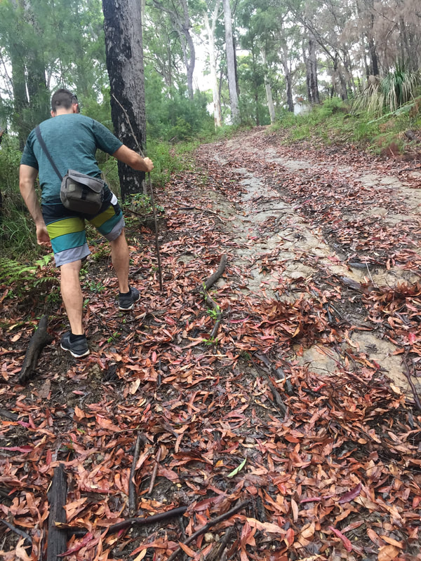
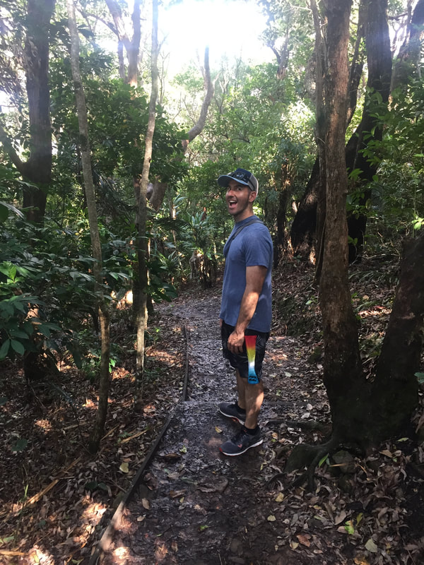
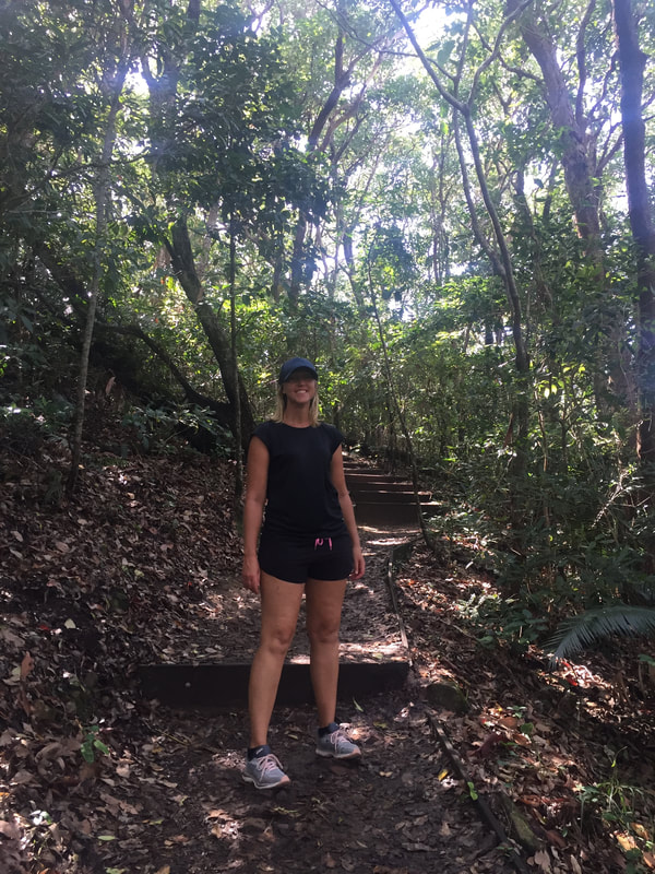
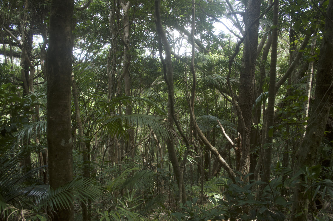
Rayners Track treks through the Koonyum Range, which is part of Mount Jerusalem National Park in the Byron Hinterland. The track passes through lush green forest before arriving at a private lake, then climbs extremely steeply for about 200 metres before heading out onto a gravel road and up to Teales Lookout. The lookout provides views out towards the coast and surrounding Byron Hinterland mount ranges. As rain consistently fell we completed the track absolutely drenched with muddied shoes from a creek crossing, but it was totally worth it for the magical experience of seeing the forest twinkle with crystallised rain drops and for the entertainment of ducking and weaving the numerous spiders and their webs intrinsically constructed across the track.
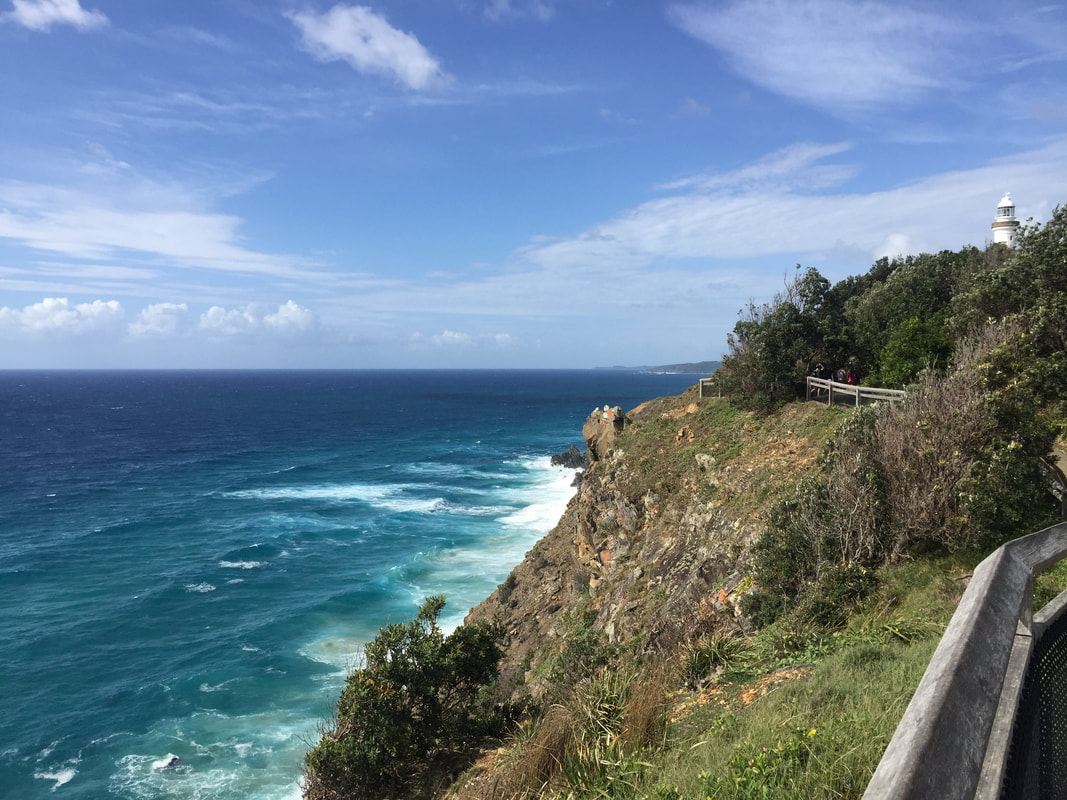
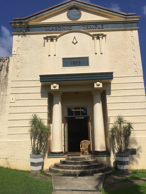
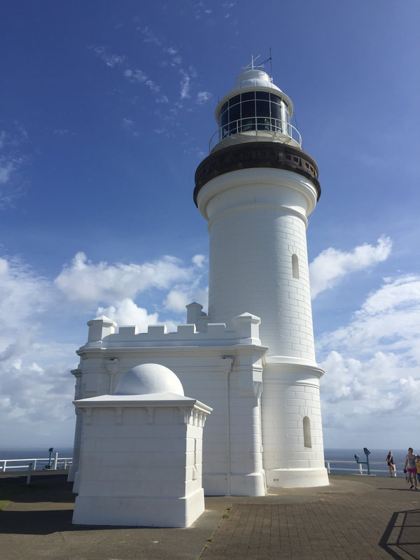
Situated on the most eastern point of Australia is a beach town that goes by the name of Byron Bay. Captain Cook set anchor nearby the Cape in 1770 and named it after one of his fellow sailors John Byron. Before Cook’s arrival it was known as ‘Arakwal’ by the local Bundjalung people, which means “meeting place”. Timber was the first industry to start in the region, hence the names of the areas Skinner’s Shoot, Possum Shoot and Cooper’s Shoot, derived from the timber cutters “shooting” logs down the hills to the ships. 1870 brought gold fever to the region with up to 20 gold mining leases opened up on Tallow Beach’s black sands. Byron Bay was a region of industrialisation, a dairy factory, abattoirs, fishing and whaling, even a hazardous sea port that appears to have claimed a couple of boats still rusting away in the sea. The first jetty was built in 1886, a railway in 1894 and the famous lighthouse that was built on the cape in 1901. Sand mining went strong between the world wars, so did meat works and the slaughtering of whales. All these industries running hard meant unbearable smells in the area, and a lot of harsh environmental impact. Most industries wound down in the 1960’s recession and good surf turned the region into a tourist attraction. Alongside Nimbin, it furthered into an alternative lifestyle culture, which brings domestic and international tourists from all around into the region. Bangalow
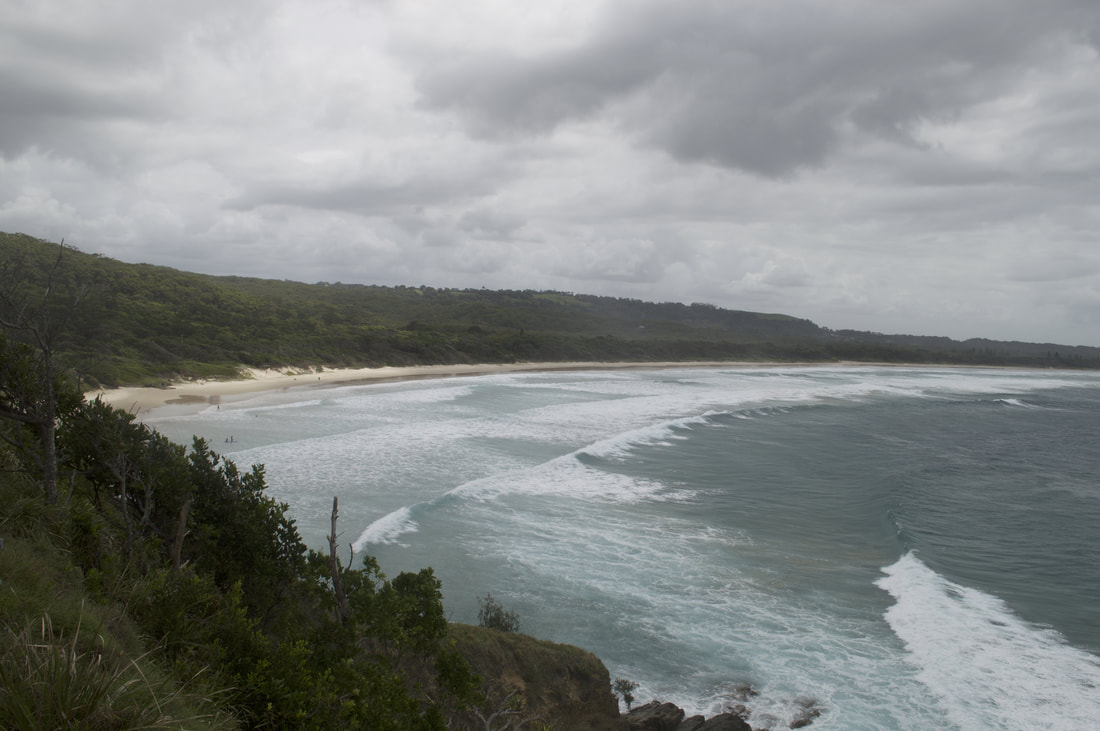
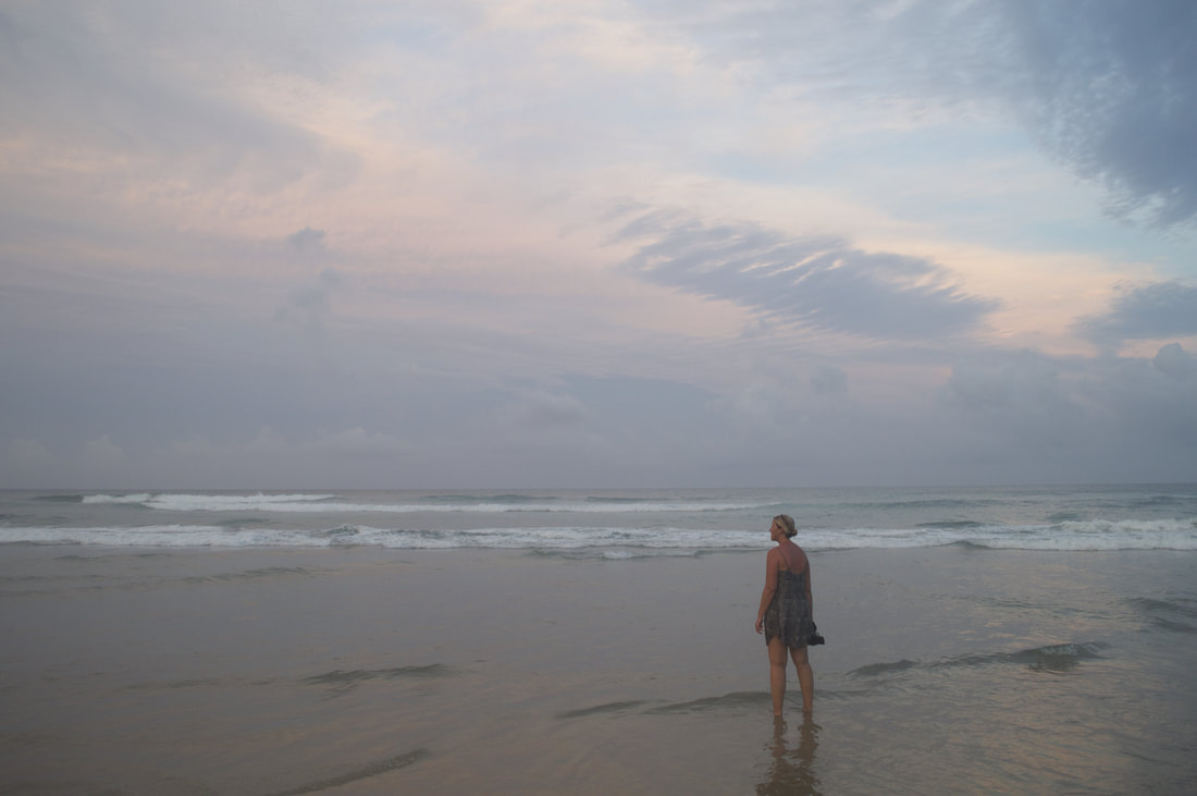
Driving into Byron gives you nice views of rolling hills, green grass and a sea of blue in the distance. The pleasant feeling of wide-open spaces comes to a halt very quickly when you arrive into town. That thought of escapement from the Bruce Highway makes you wish you were back on it, bumper to bumper traffic, people everywhere and the smells of used socks and body odour coming from vans. Horrible roads, unnecessary traffic jams and pedestrians just crossing the road when they get the opportunity are fair indicators of extremely poor infrastructure. Bumper stickers with full 'Greenie' support litter old vans running on leaded petrol, with the occasional cigarette butt flying out the window. Walking through town you notice large amount of drug abuse in a few characters getting around. Tune into a conversation from locals and you might hear about how people move out here to find happiness and end up worse than what they were. When we were running along beautiful high cliff sides that meet the ocean at Lennox Head, we saw lifeline signs telling you that there’s still hope, it makes you realise its not the happy place that you hear all about. ~ Cheer Up ~ Slow Down ~ Chill Out ~
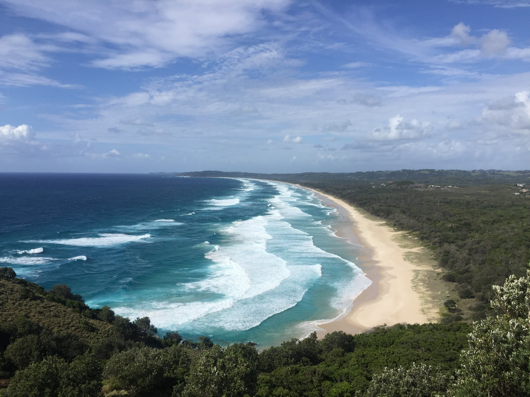
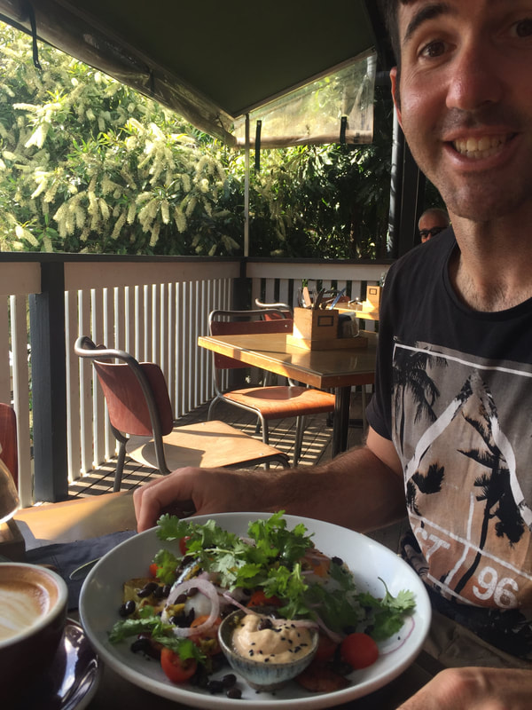
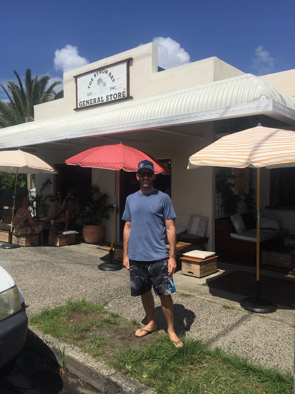
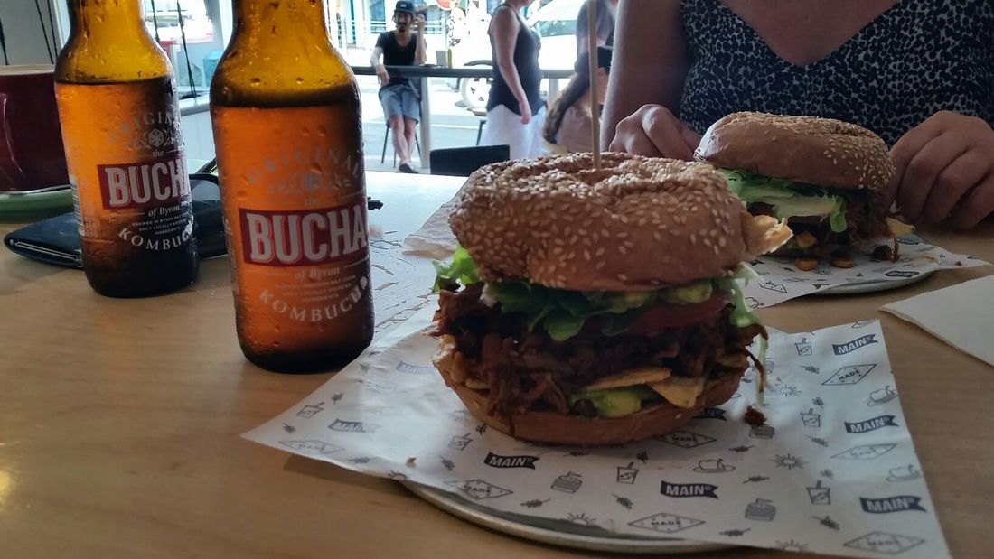
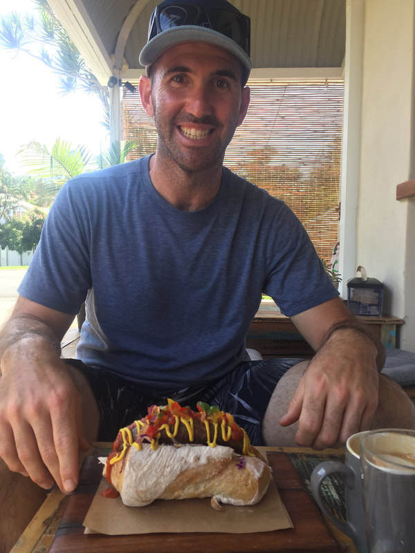
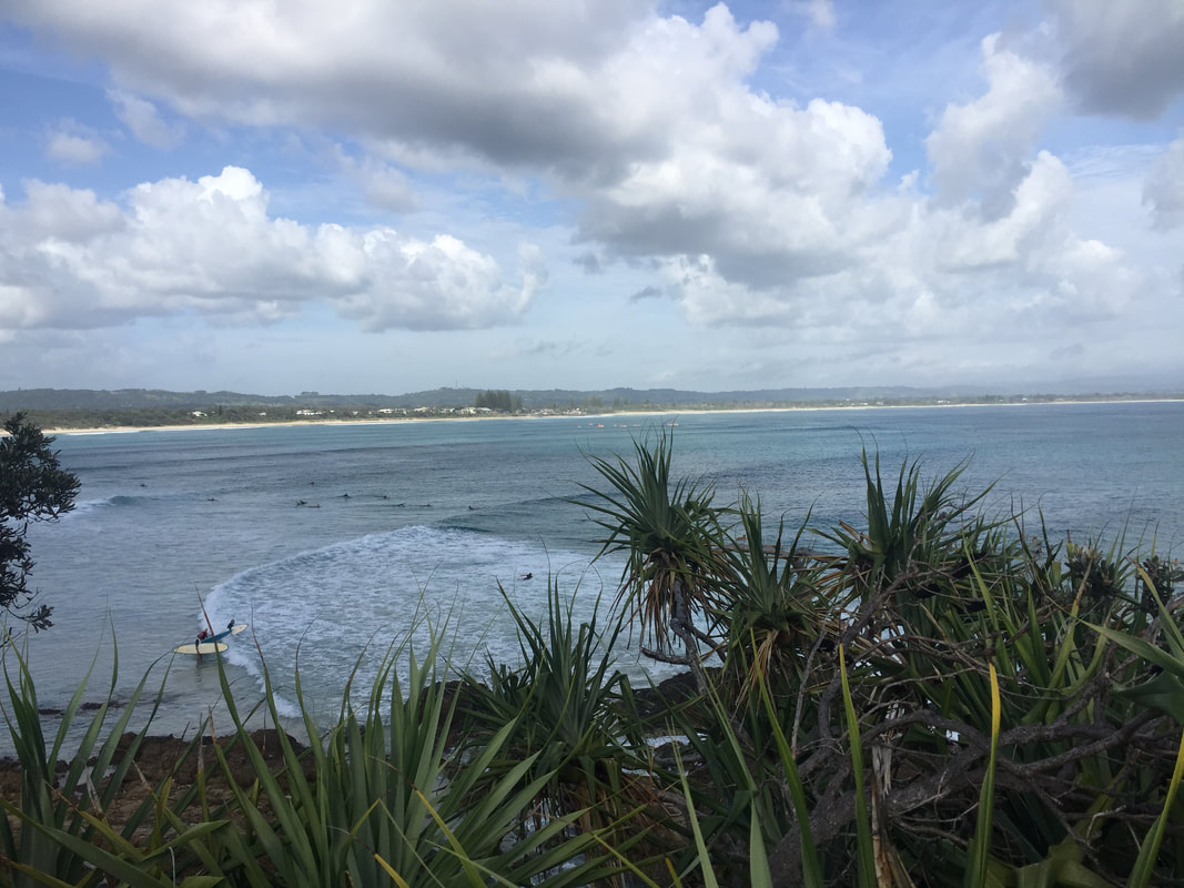
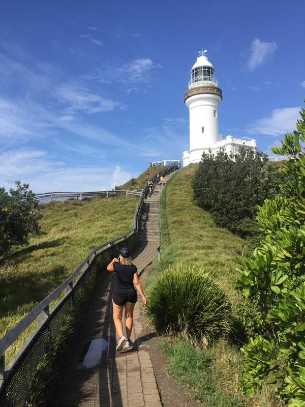
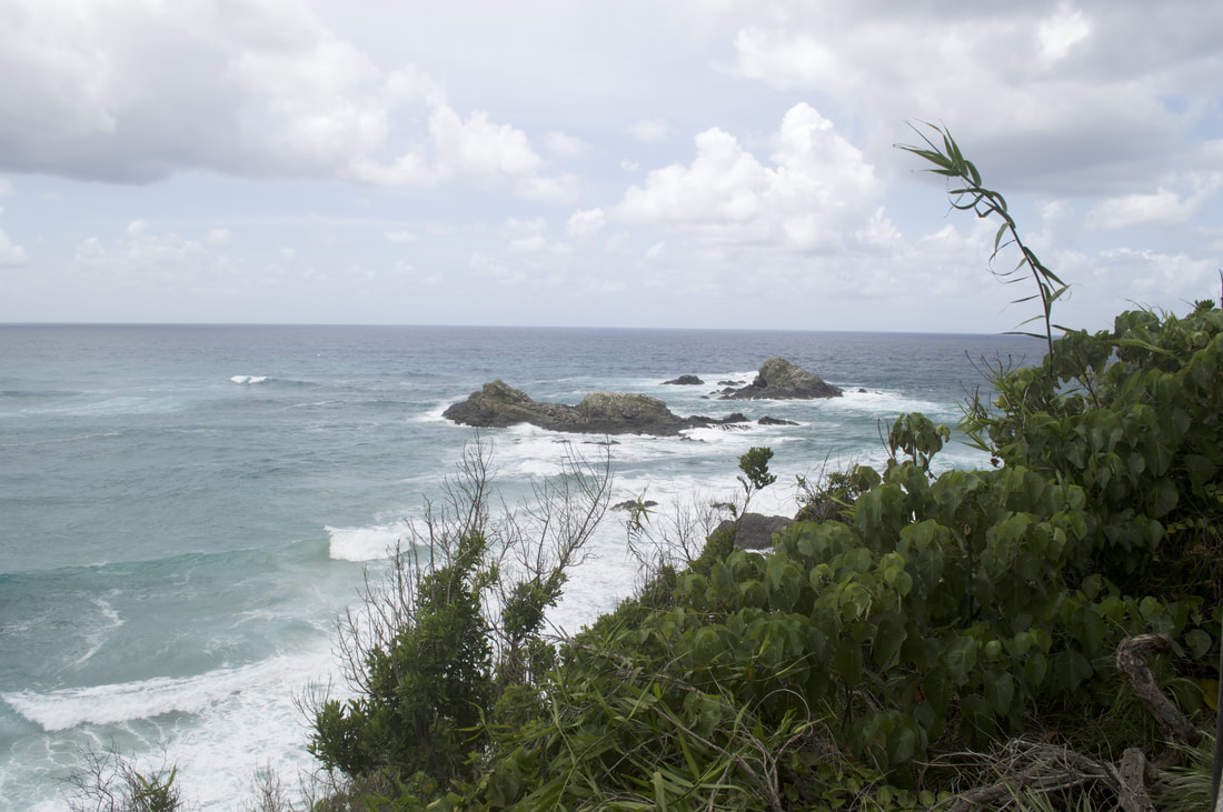
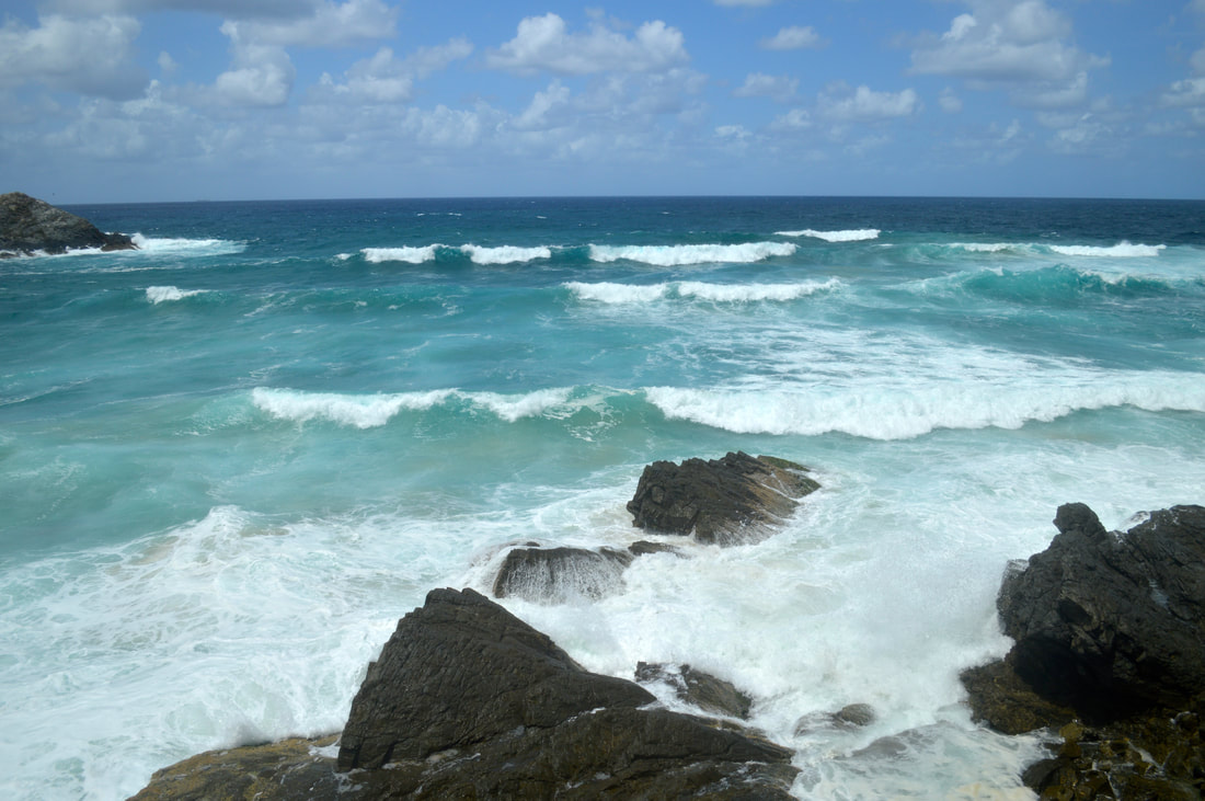
So, lets get on with happier stuff! If you get away from the crowded main beach, you’ll find some stunning waters to throw yourself in. We had a wicked day at Lennox Head beach, the waves can get a bit monstrous but stay shallow enough the water is perfect for beginner surfers and average swimmers like ourselves. A bit north of the main Byron Bay is Belongil Beach, preferred by locals, it’s away from the bigger crowds and the water is rather inviting. We chilled there and watched the waves but were far too dressed to jump in. If you get tired of swimming there is an almost endless amounts of walking to do through the hinterland region. We bought a book called ‘Byron Trails’ with 50 walking tracks around the area, its kept us busy with adventures. Between walking and swimming there has been some amazing food around, the subtropical climate grows just about every fruit and vegetable under the sun. Most good cafes use local produce including the coffee. Some of our eating highlights have been the jackfruit burger at the Main Street Burger Bar and the General Dawg at the Byron Bay General Store. The raw treats from Combi and beetroot cake from Spar (yeah I know right!) also served our appetites well. The Byron town centre transforms at night, the traffic dies down and street musicians open up. It makes for a pleasant strolling atmosphere to hear such a diverse range of music being played around the town, from soft acoustics, electronic mixers to trumpets and electric guitars. Byron Bay Lighthouse Walk
We’ve thoroughly enjoyed Byron Bay, the beaches, the food and the walking tracks have treated us well. It’s a chilled place if you make it chilled, but so are many other places, it’s just how you choose to experience it. Them realities of Byron I introduced to you earlier on are not to put the place down, but to understand that it is well sugar coated on advertisements and social media. It’s a nice place, but the hype might let you down.
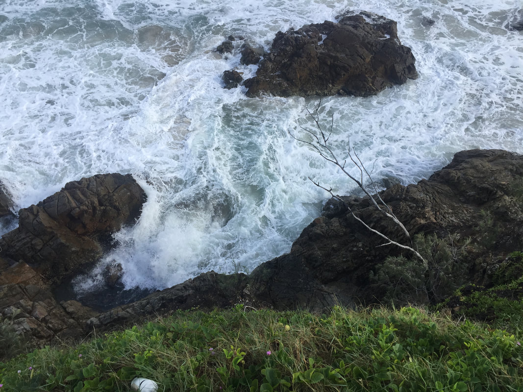
 In Indigenous Bundjalung mythology the story of the Three Sisters is told to children to warn them of the dangers of swimming near rocks. It is said one of the sisters became caught in the strong current, the other sisters ventured in to save her, but they all drowned and were turned into the rocks we now see at the heads.
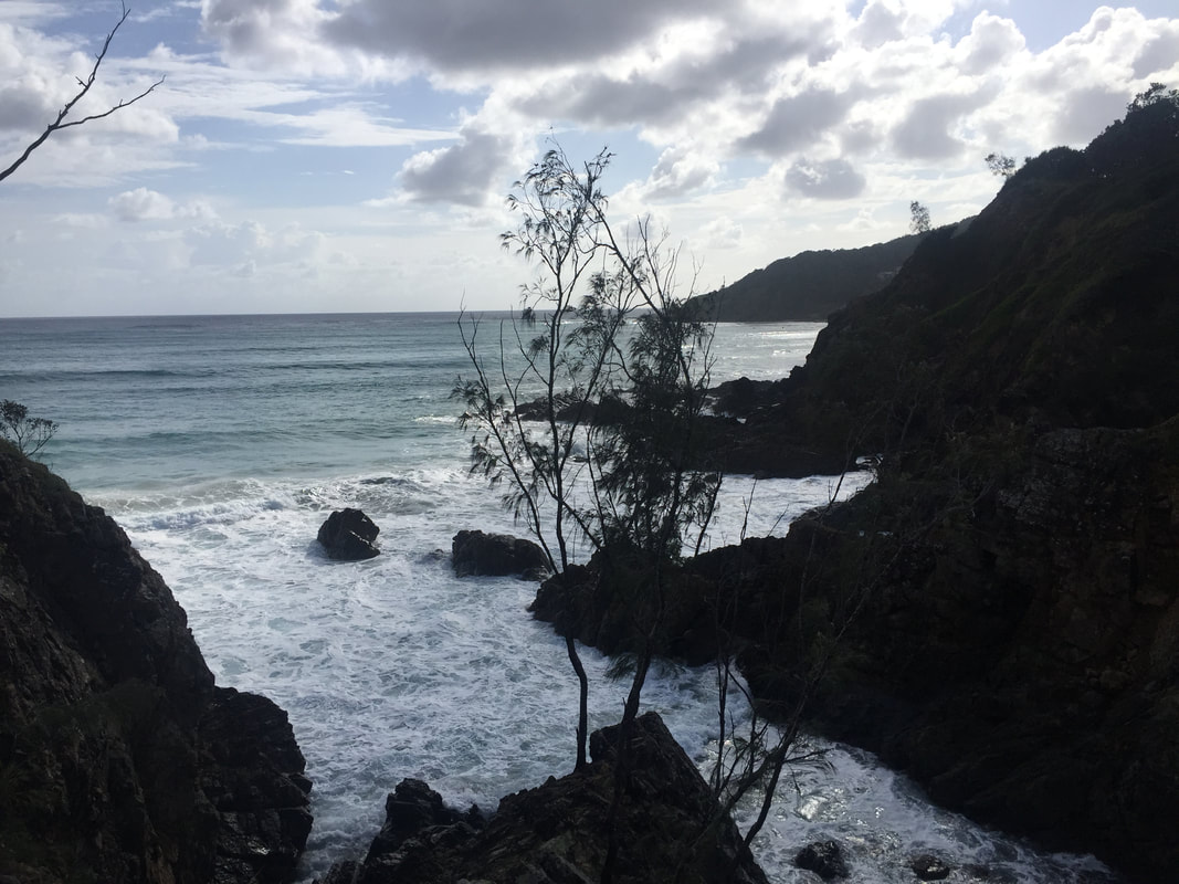
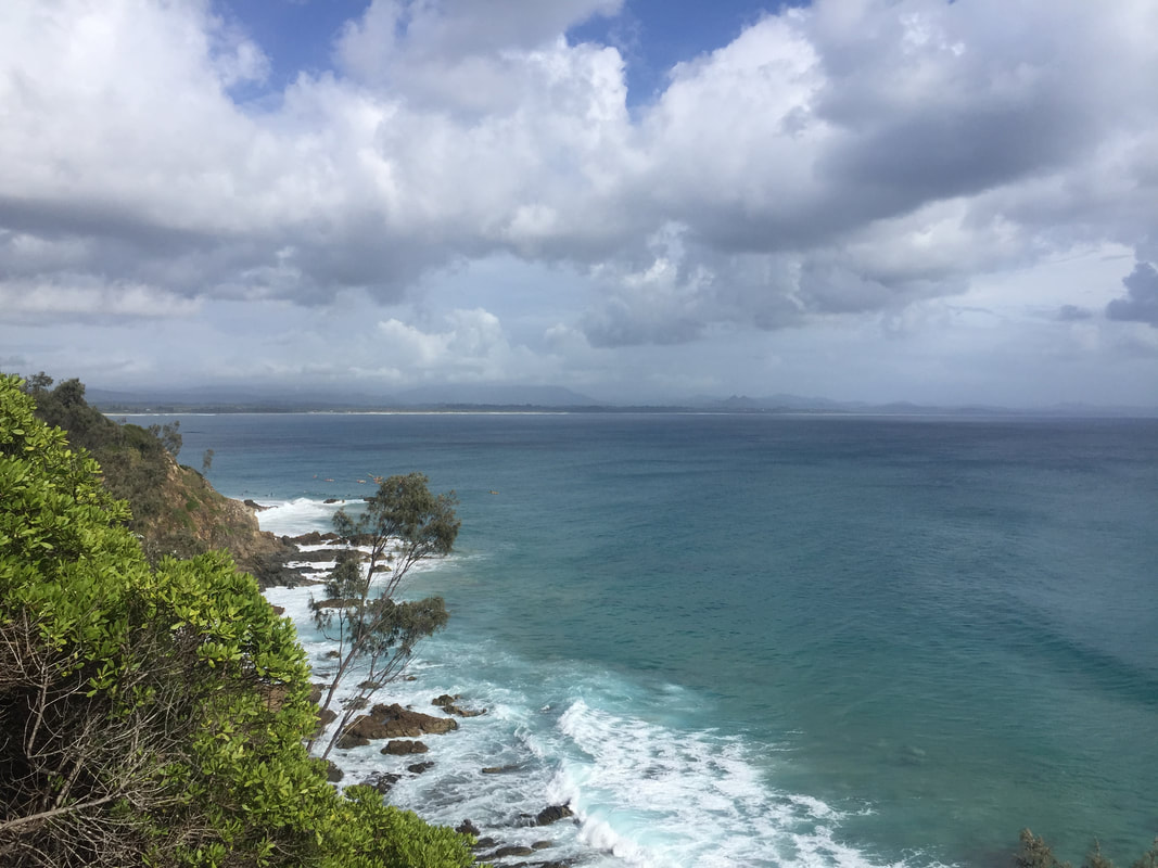
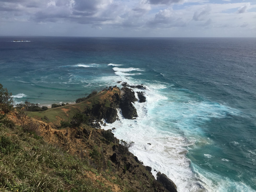
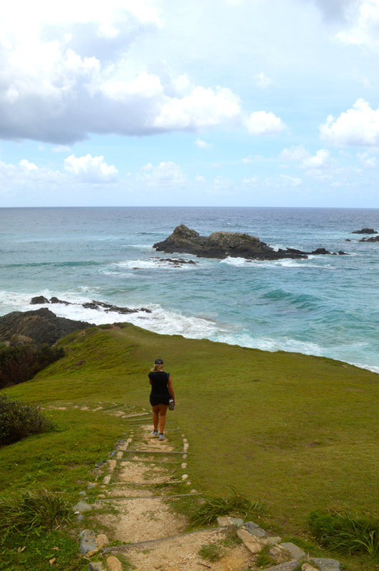
 Looking back to Broken Head, Suffolk Park and Byron Bay 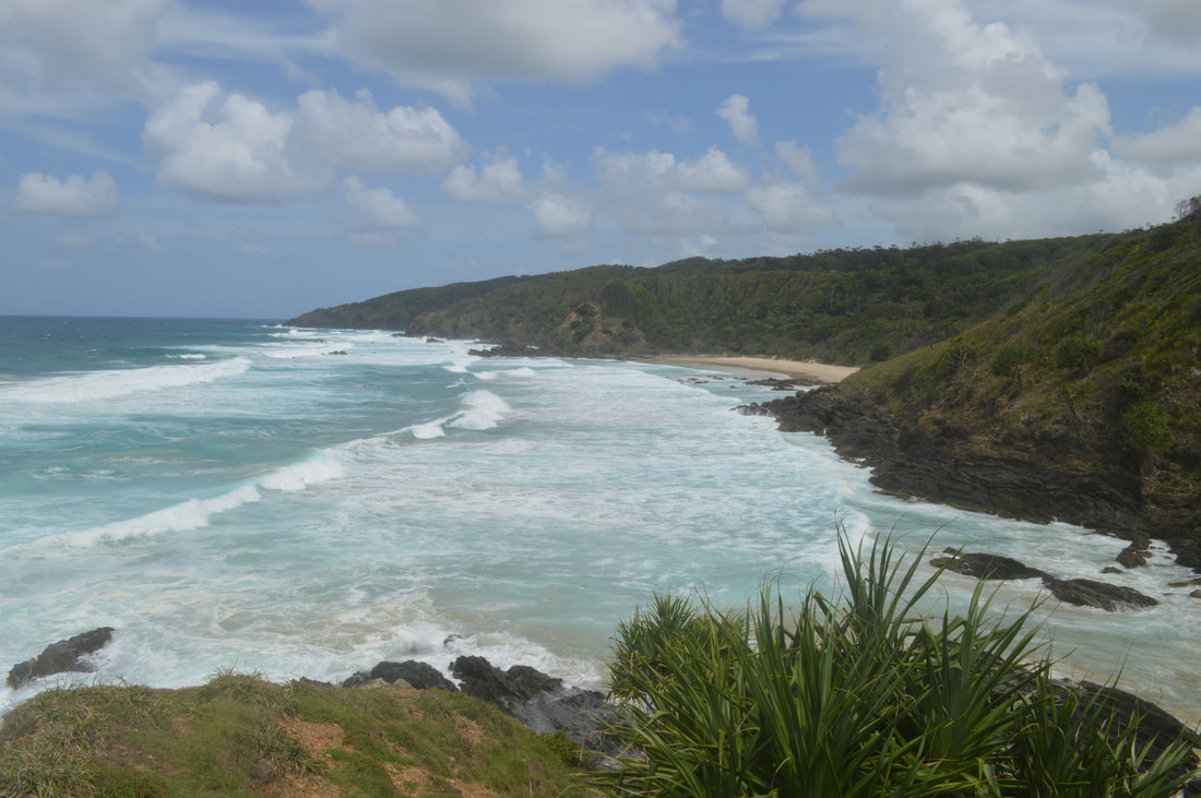 Looking towards Kings Beach Although occasionally possible at low tide it is still quite difficult to access Kings Beach from the Three Sisters walking track so we venture around the alternate route through the paperbark forest down a heap of steps to this secluded white sandy beach. An enjoyable chat with a long-time local gave us a fascinating insight into the changing culture of Byron Bay and of his life in the region. Administered now primarily by the 'Greens' disappointingly improvements to infrastructure have all-but ceased with the poor quality road conditions a perfect example. He went onto mention the contention surrounding Kings Beach, which is known locally as a 'Gay' beach, much to the disapproval of local indigenous who have fought over the years to have the beach access points closed. Deaths in both the 'for' and 'against' camps resulted in the 'heat' surrounding the topic diminishing and nothing further has been done. We took a walk along the beach, admiring the serenity, but felt way too over dressed in our shorts and t-shirts and way too heterosexual so made a subtle dash for the stairs and left everyone to enjoy naturally, this peaceful parcel of paradise. Needless to say we opted not to take photos at Kings Beach for obvious reasons.
Nimbin derives from the term “Nimbanjee” a protective spirit that is a part of the Whiyabul Clan’s dreamtime, which is of cultural importance to the local Bundjalung People. Nimbin’s lush green attractiveness brought loggers to the region in the 1840’s, once the sources of cedar wood dried up in the early 1900’s the land was utilised for dairy farming and banana growing to take full advantage of the sub tropical climate. The 1960’s recession brought economic woe to the rainbow region until 1973; the Aquarius Festival changed it all. The Aquarius Festival brought together university students, alternative lifestyle practitioners, hippies and your usual partygoers. After the festival, while many ventured home, hundreds stayed behind to bring the next revolution of Nimbin as an “alternative lifestyle” community, or as what others may call it “the drug capital of Australia”. Today, it’s alternative reputation still lives on.
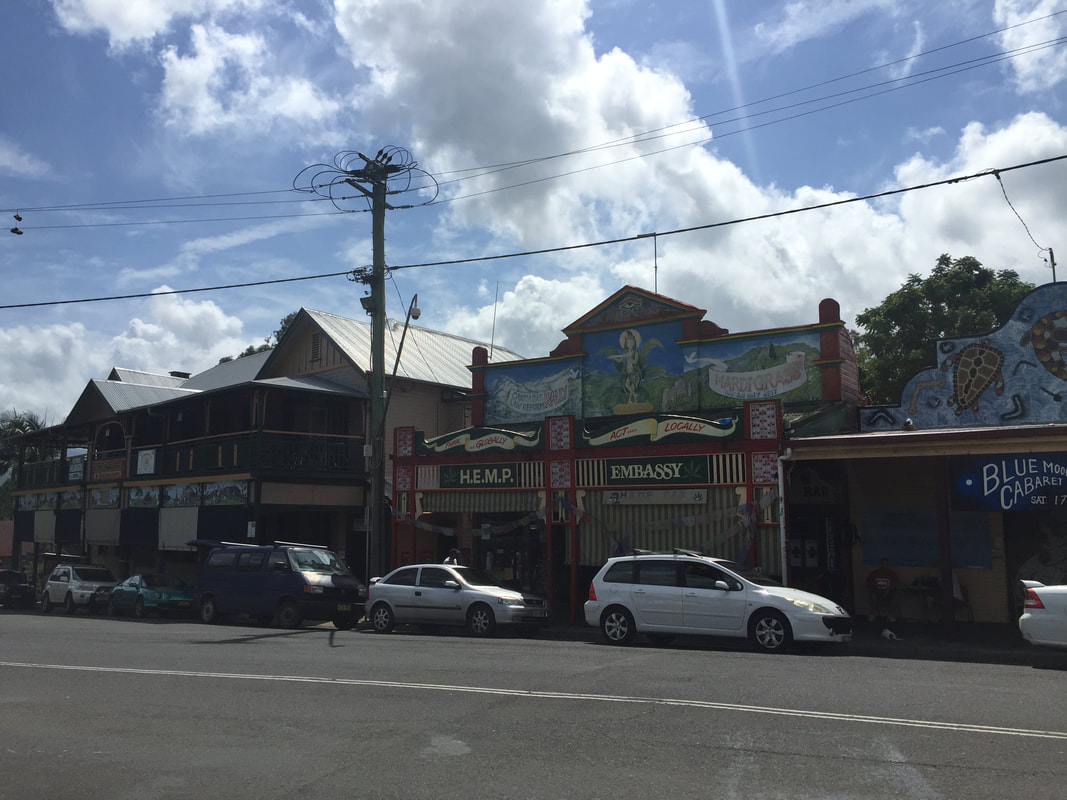
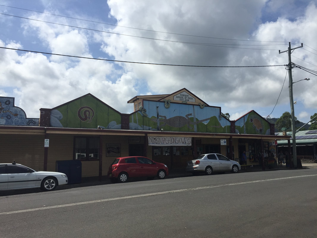
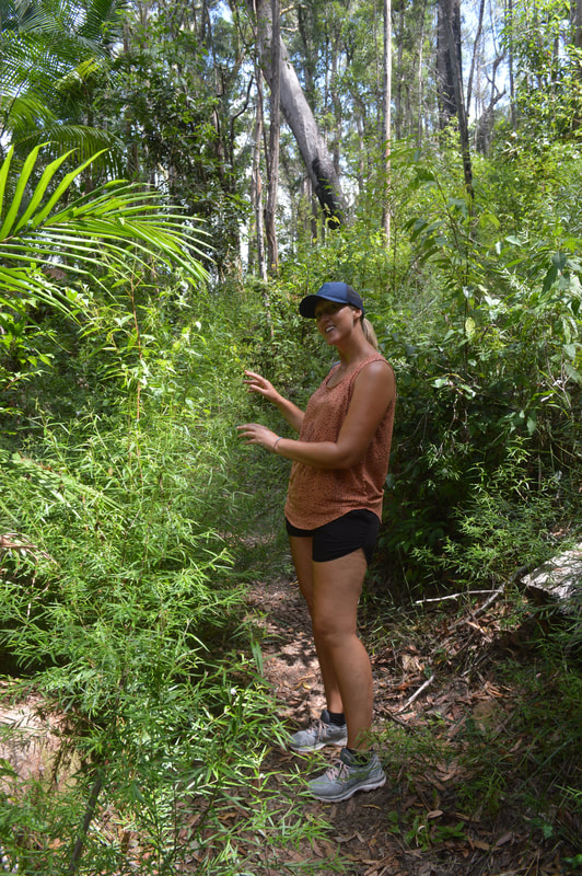
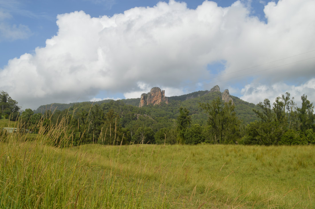 After a drive from Byron Bay that took us through Lismore and many windy roads, we snapped a shot of the Nimbin rocks and parked ourselves in the local car park. A few steps into our walk we get offered some local produce, we gave it a miss. Getting out into the main street of the town, most things were painted green and filled with rainbows. On one end of the main street, the dealers hang out and spectate the tourists, harmless but a bit on the nose. Walking along we browsed around the Hemp Embassy, even if alternative lifestyles aren’t in your interest it's worth a look around to learn a bit about Nimbin’s famous counter culture. Further along is the Nimbin School of Arts Gallery, which gave us a different perspective on Rainbow Region life. Gorgeous paintings filled the 100 plus year old walls from local artists, and a friendly volunteer resident gave us an insight into what life is like here, that its not just a haven for drugs but a retreat for creative arts. After a perspective change on locals we dropped into another Gallery, which spoilt us with more great local art from Nimbin and surroundings. Before heading out we ate at the Phoenix Rising café, the food wasn’t too great but the music (a harp and drums) made for a chilled atmosphere and reminded us of our dear friend Kat, the Cane Juice Lady from Innisfail.
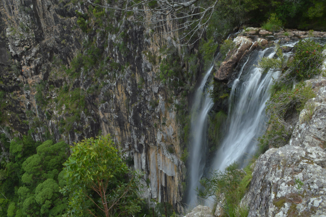 
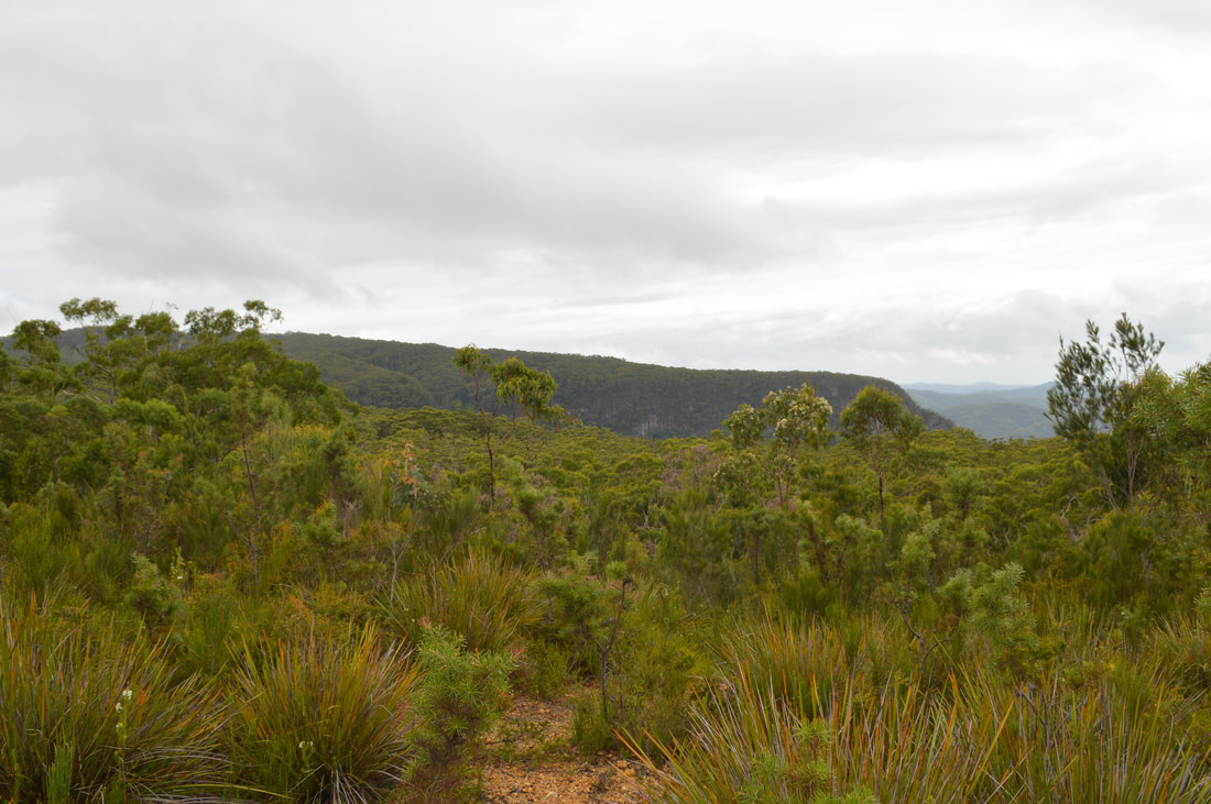
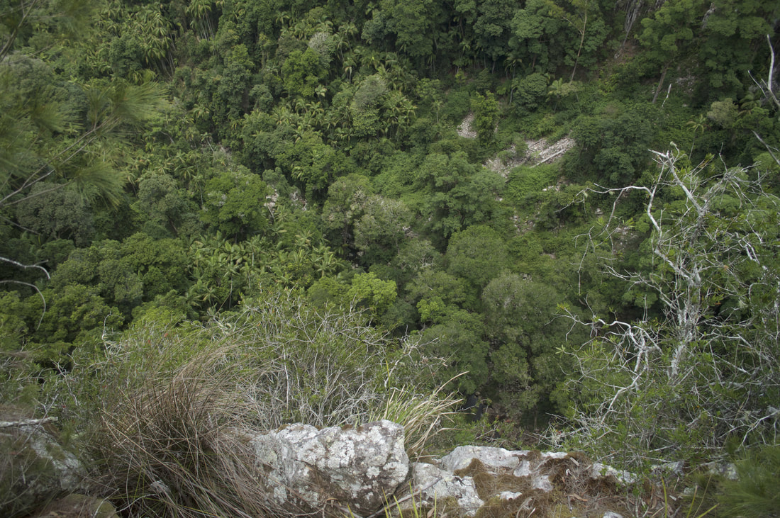
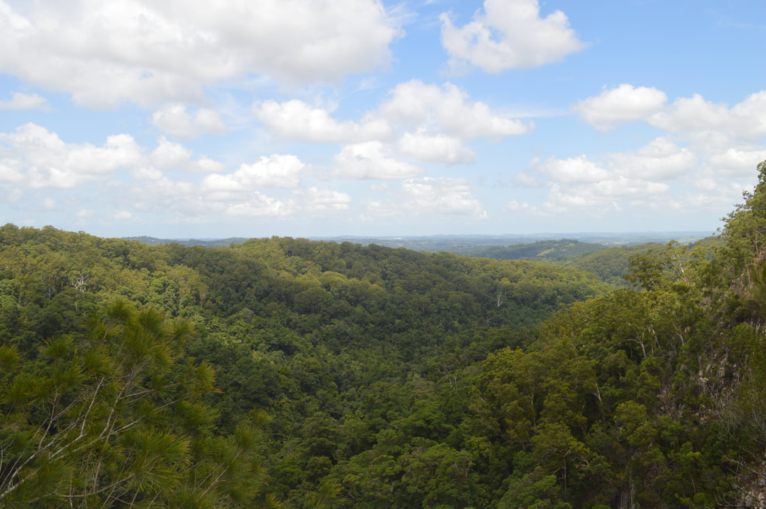
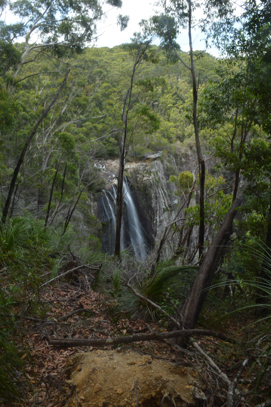
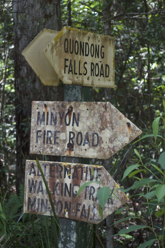
 We drove another way out of Nimbin and went up into the mountains of Nightcap National Park, filled with 20,000 acres of rich sub-tropical rainforest. The drive was endless of twists, turns and stunning levels of green flora. We got to our destination in Nightcap, which was the Minyon Falls. Popular for a lot of tourists, these falls are 100 metres high and give you views all the way out to the Byron coastline. The run of water over the rhyolite cliffs made it spectacular to watch from all angles. Off to the west of the falls was a walking track that did a loop to Quandong Falls and back along a fire trail. The track gave us more views of the Minyon Falls and took us out to the edge of Quandong falls. It was quite a relaxed walk and a good distance of about 4.8 kilometres. After being satisfied with waterfalls and cliff edges, we coasted our way back down the range into Byron Bay to blue seas after a day of green.  It was nice to get away from the riff raff of busy Byron Bay and get into the quiet towns again. The mountainous rainforests are always nice to drive and walk around; it’s a great change from seeing taillights and people running out in front of you. Nimbin is reputable for its drugs, but still worth a visit for its unique character and creative vibe, the dealers are easy to ignore and the locals were great to spin a yarn with.
|
The JourneyChoose Curiosity The Catalogue
November 2023
The Tags
All
|


 RSS Feed
