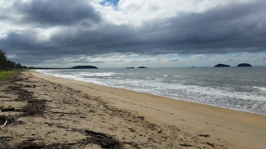
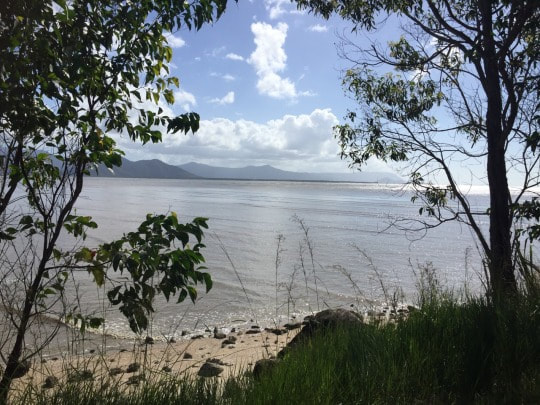
A little further north of Kurrimine beach on the Bruce Highway between Cairns and Innisfail is Cowely beach, a long stretch of soft sand and calm waves that we felt we could just walk along all day.
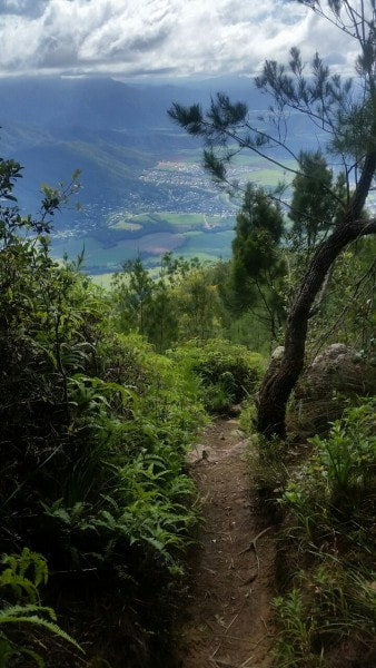
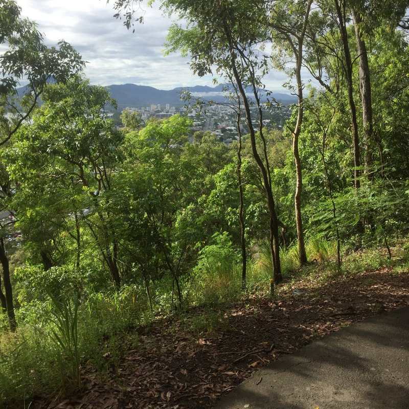 The Red Arrow Track looking back towards Cairns. A popular local exercise enthusiast hangout, which is why we only did it once and don’t rate it as high as other less populated walks.
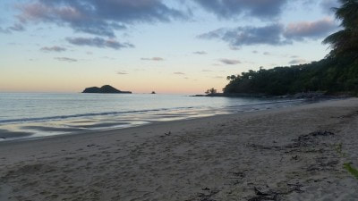
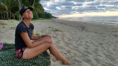
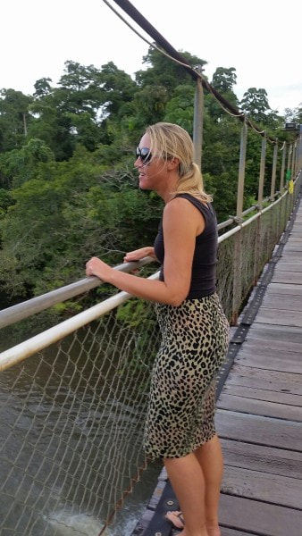
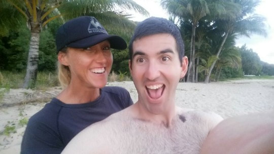 Located on the Port Douglas Road north of Cairns, its quiet vibe makes you feel far away from civilisation. It was our favourite beach to go and chill out at while we lived in Cairns 🌴😎
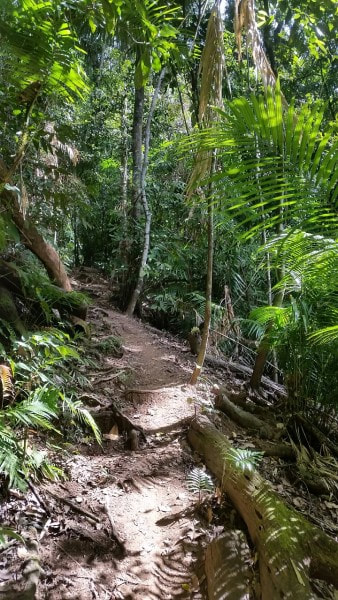
Crystal Cascades to Copperlode Dam walk. Six kilometre round trip. A steep but spectacular track, which takes you to a large man made lake that feeds the Cairns water supply called Lake Morris named after an Engineer who worked on the project in the 1960s.
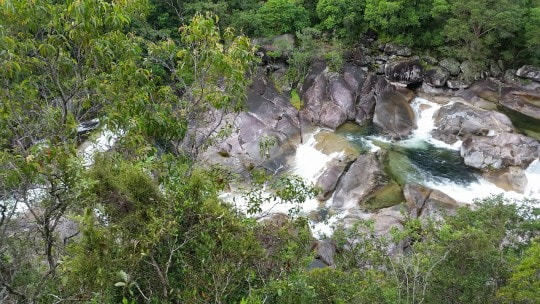
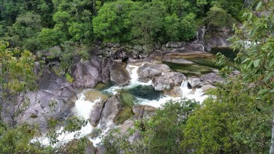
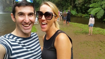
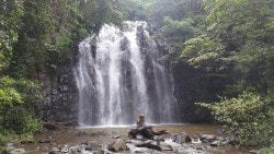
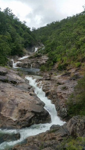 This rocky path of water also feeds the Cairns water supply alongside Lake Morris. It’s a popular place to visit, the locals calling it the "The Cairns Hike in Paradise" and they're not wrong. The walk is a 6 kilometre round trip and requires a decent amount of hiking uphill to get there, but well worth the effort to marvel at these spectacular views of the pristine running falls .
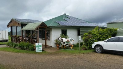
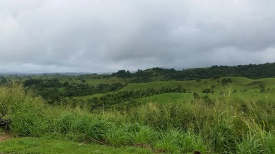
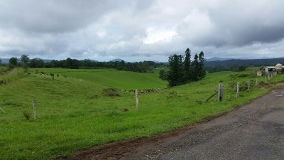
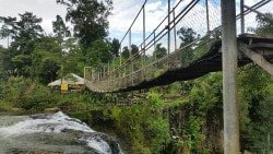
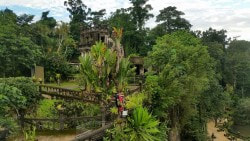
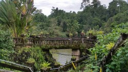
Found in the Atherton Tablelands between Cairns and Innisfail, the circuit is worth a drive with a good view of 3 waterfalls: Milla Milla, Zillie and Ellinjaa falls. These falls were made through the water erosion of solidified lava hundreds and thousands of years ago. We also had a look at Mena Falls located at Paronella Park, Mena Creek, built over 70 years ago by a Spanish pastry chef José Paronella.
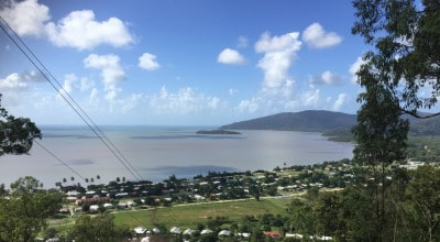
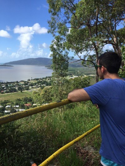
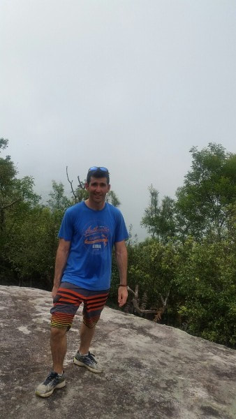
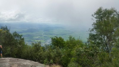
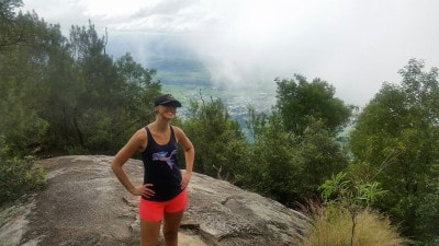
At 922 metres high, its a hill that isn’t for the faint hearted. It took us four and a half hours to the top and back. A race is held annually to run from Gordonvale to the top of the Pyramid and back competitors are known to finish in just over an hour!
|
The JourneyChoose Curiosity The Catalogue
November 2023
The Tags
All
|


 RSS Feed
