    The detour through Gregory Downs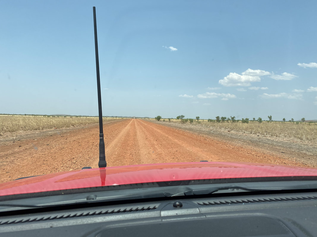
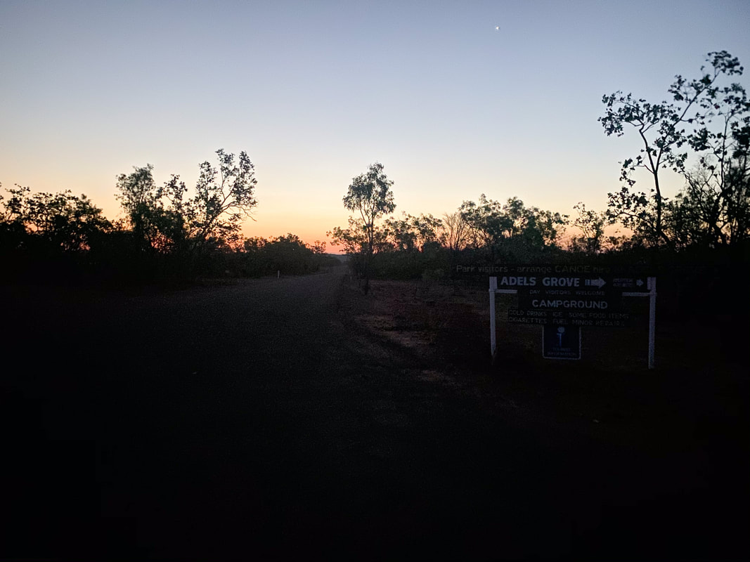
 Adele's GroveFire
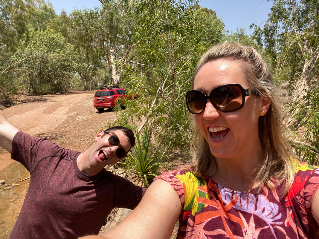
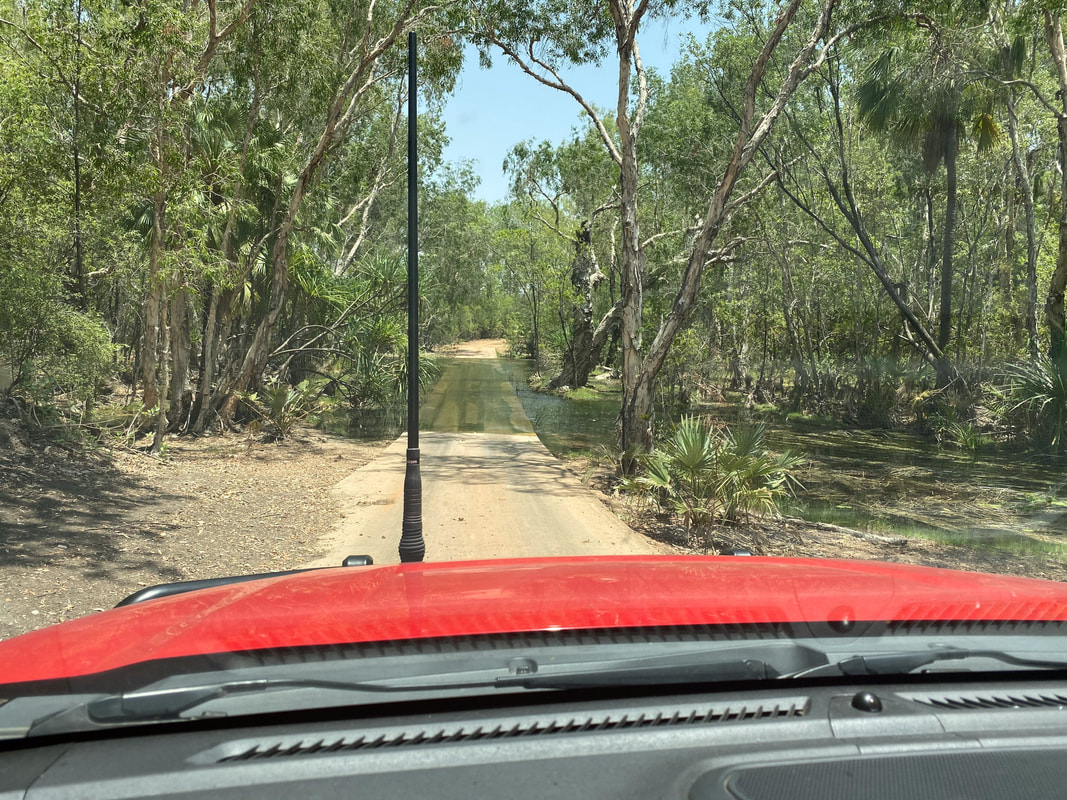
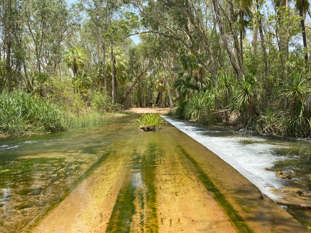
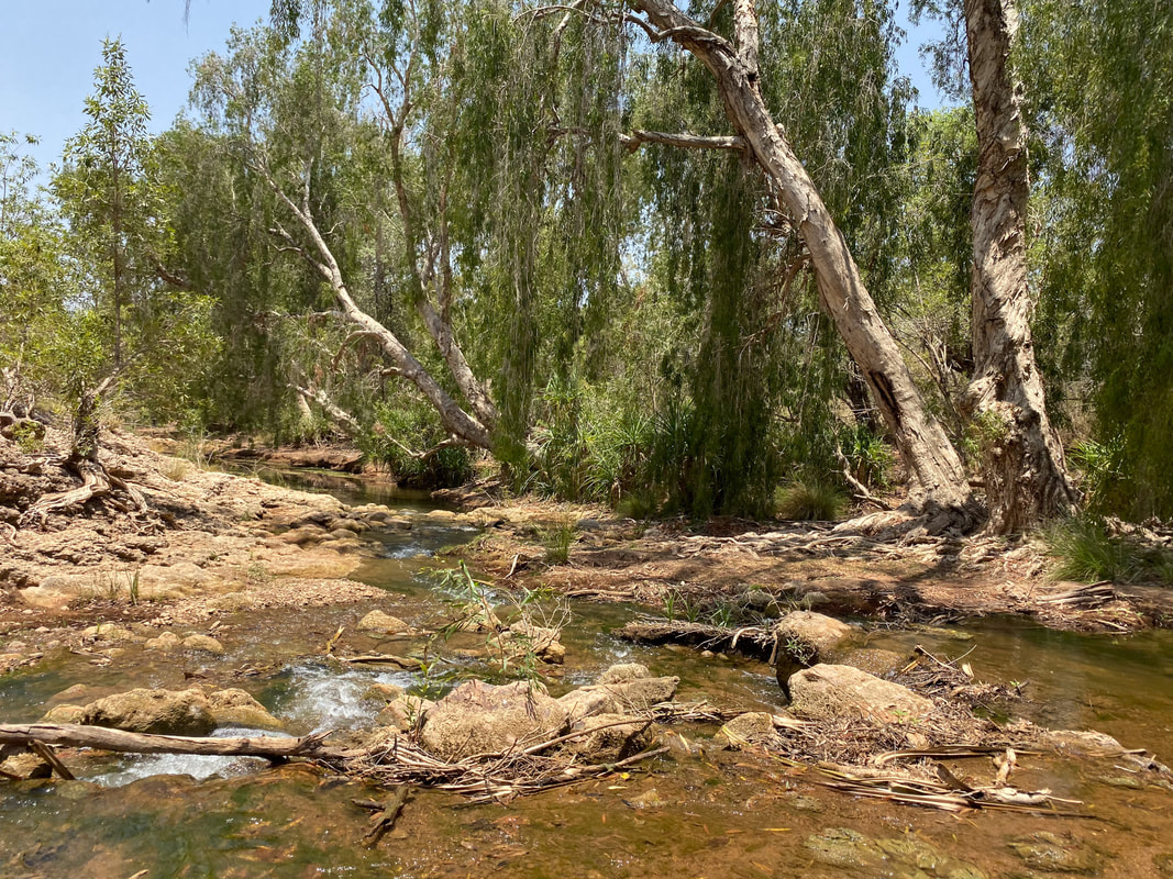
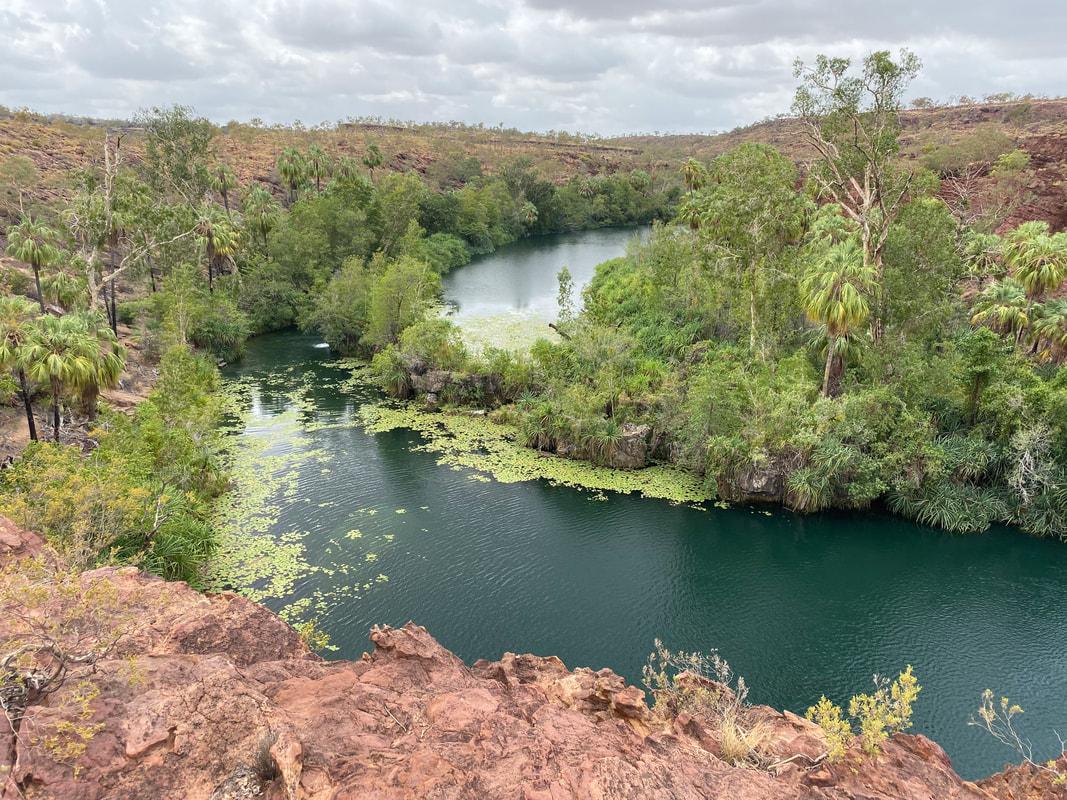
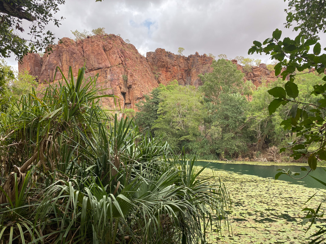
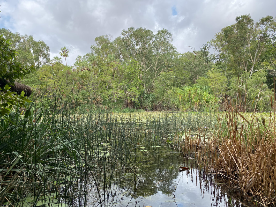
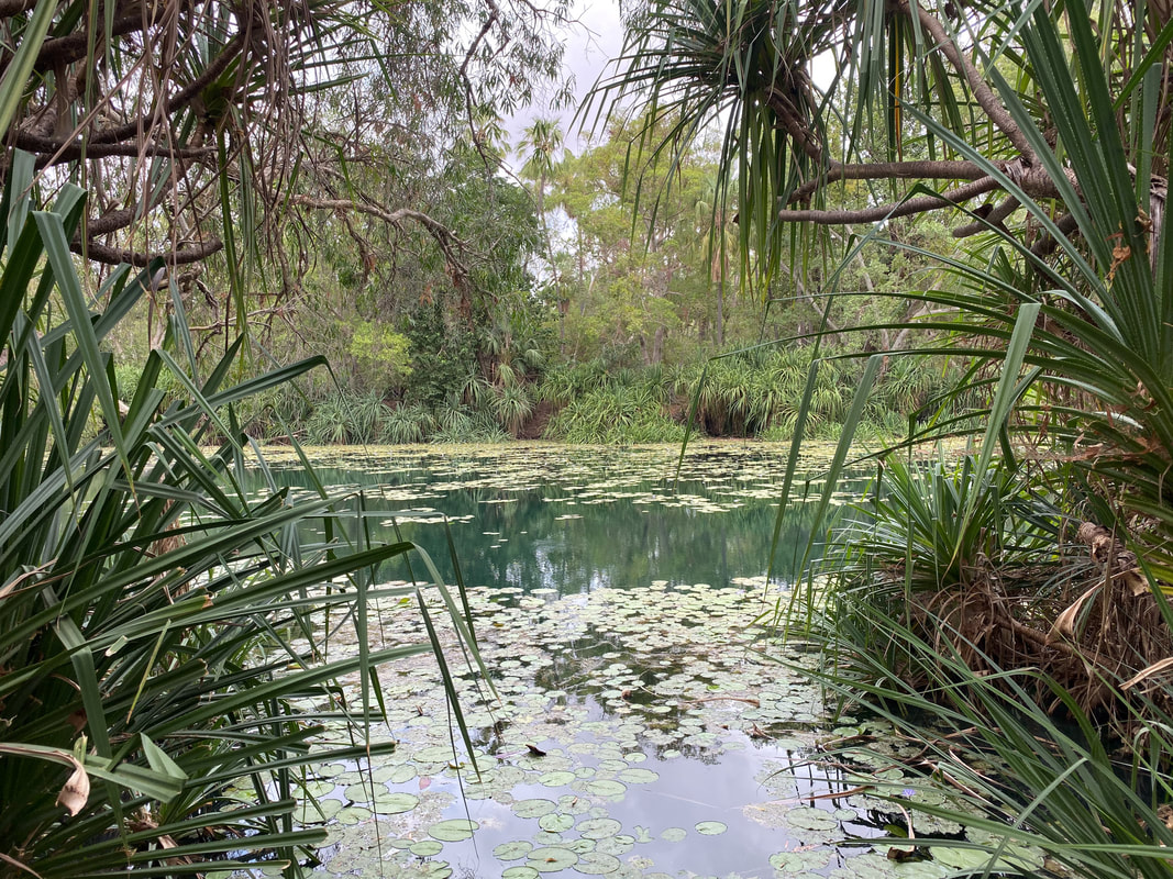
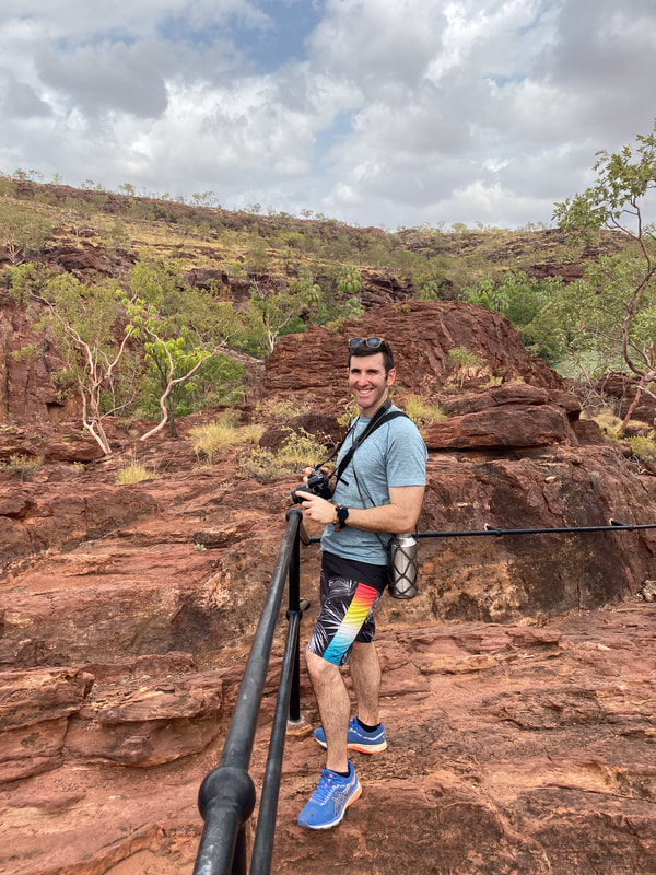
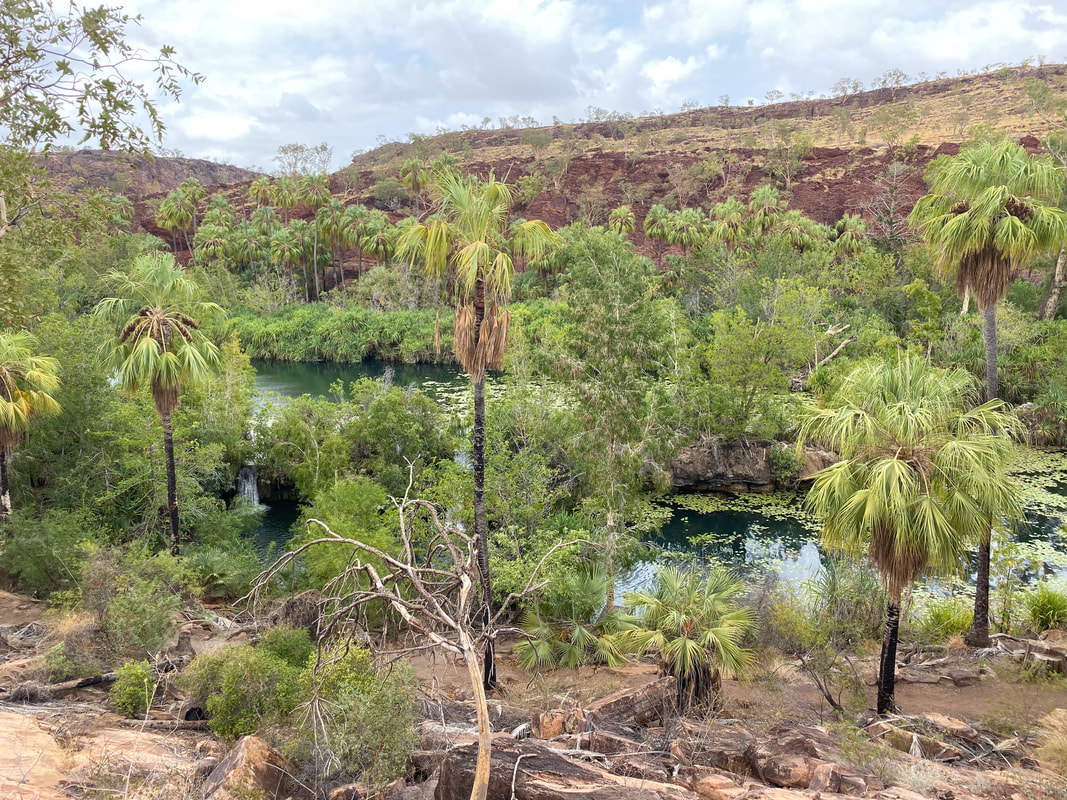
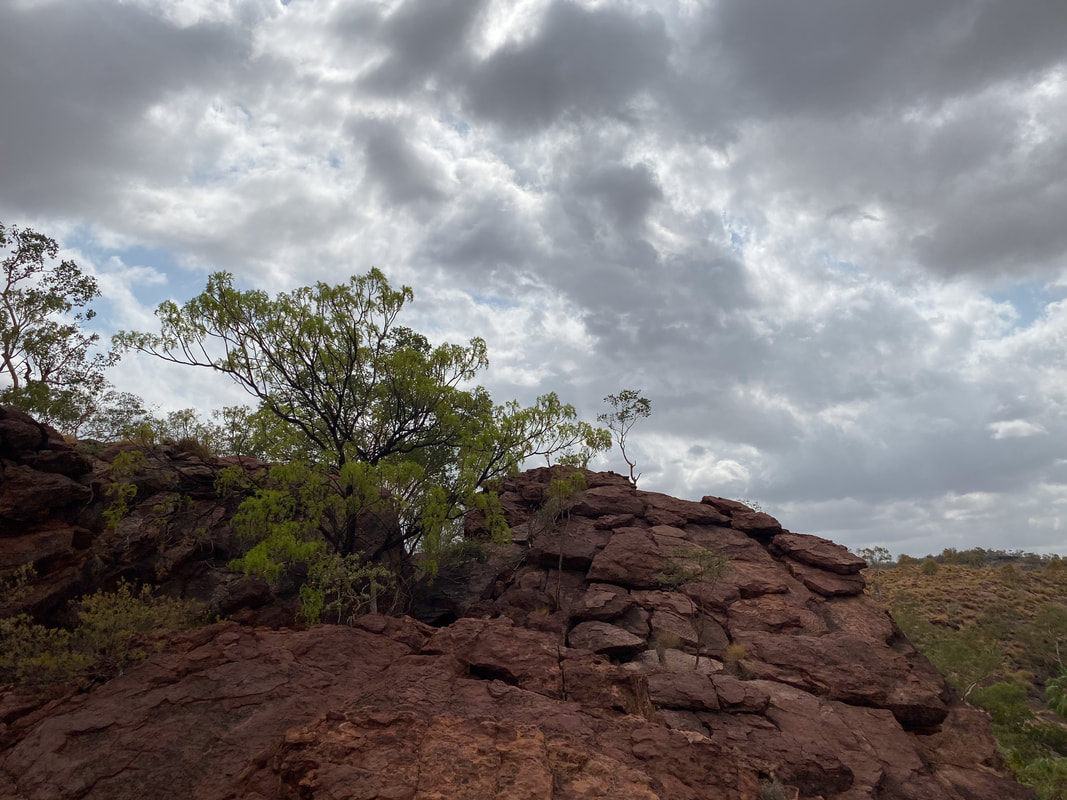
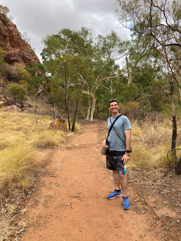
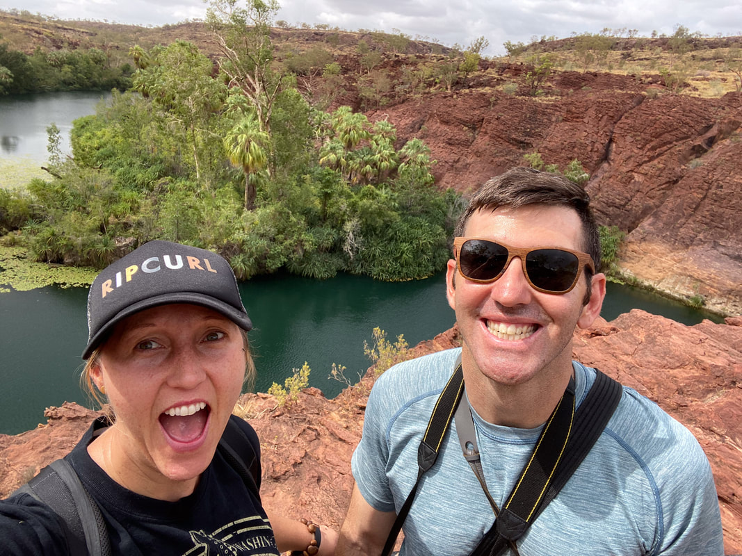
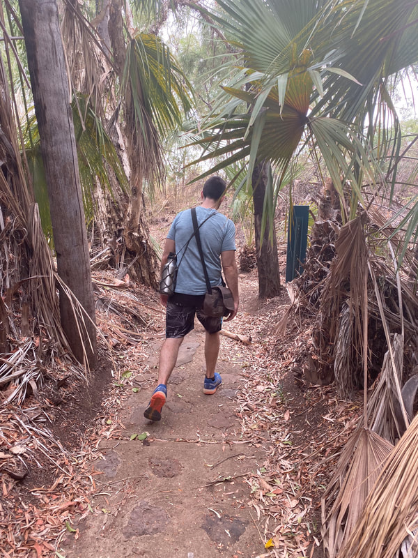
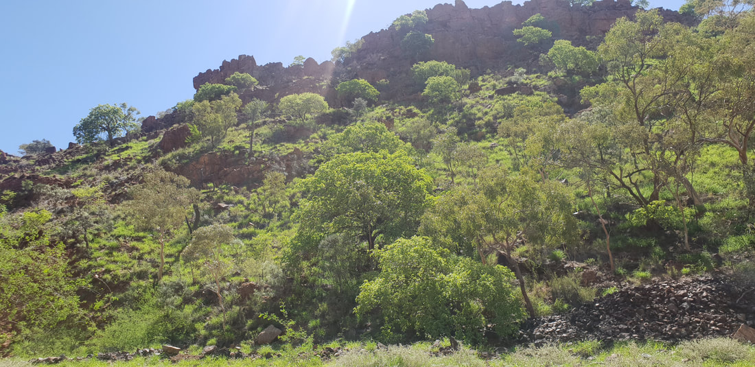
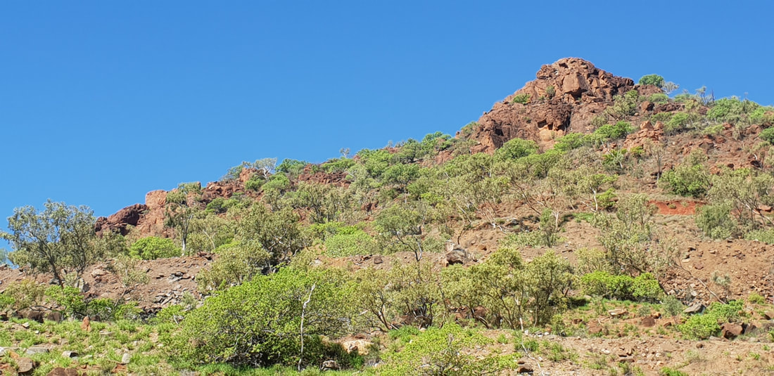
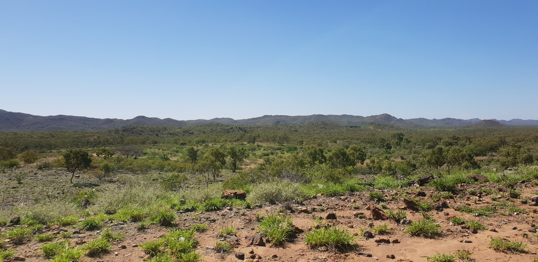
Boodjamulla National Park
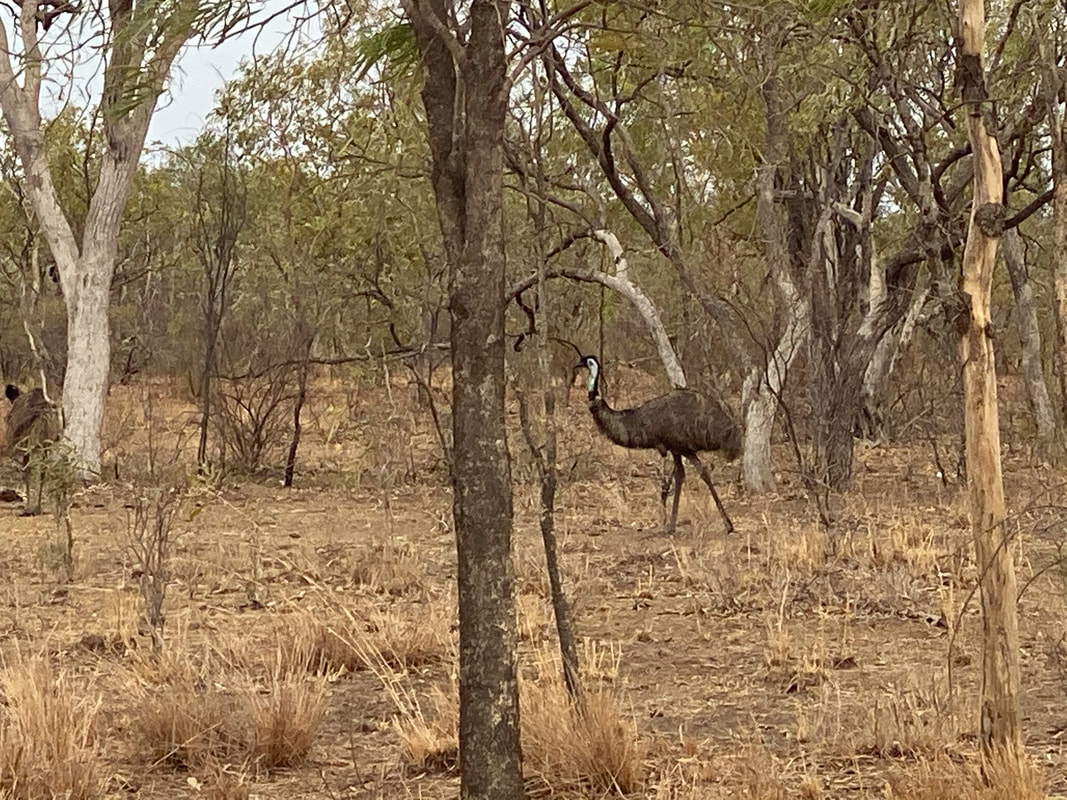
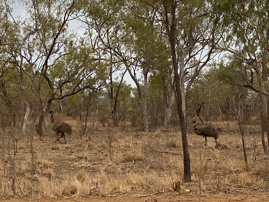
  The Return Journey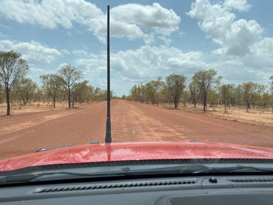
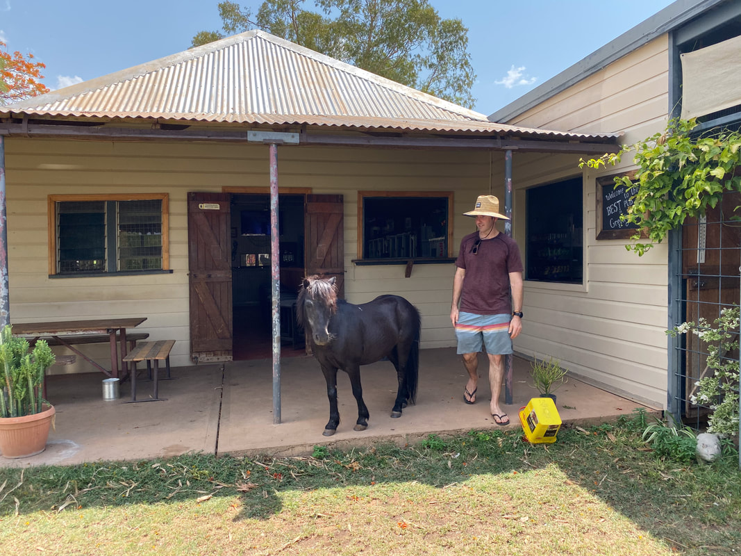
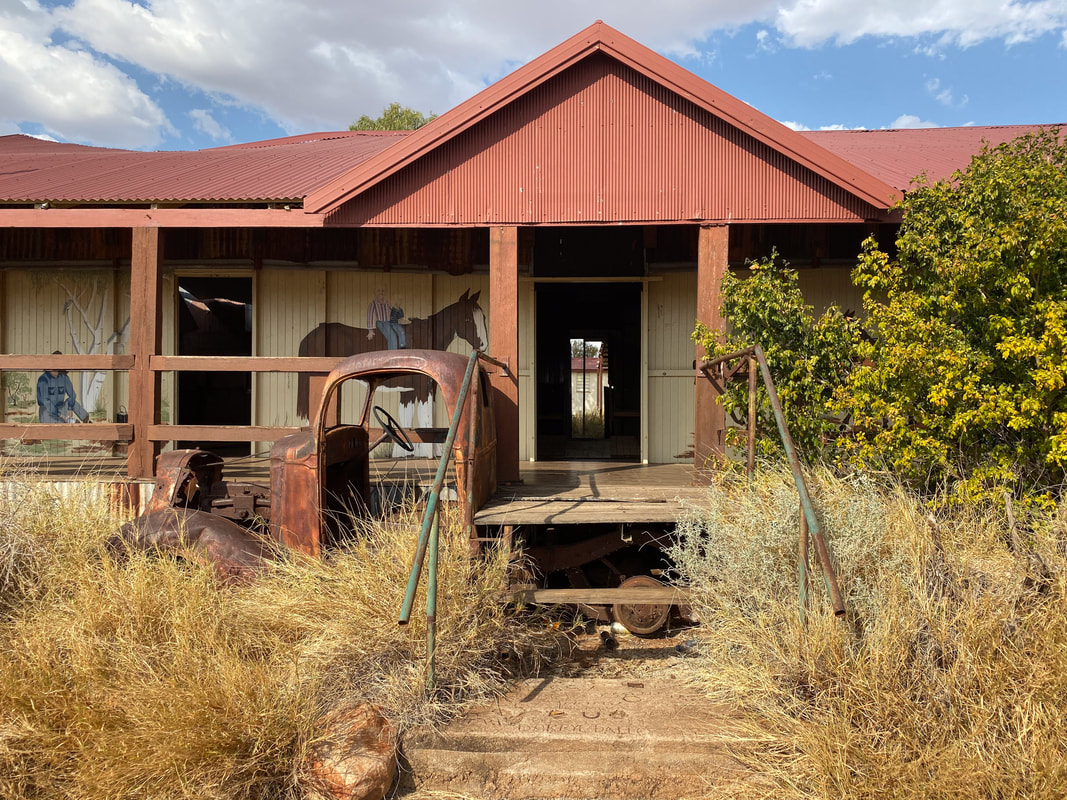
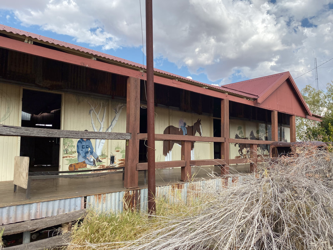
Quamby PubClosed in 2013 and restored in 2023 by two Gold Coast based mates. 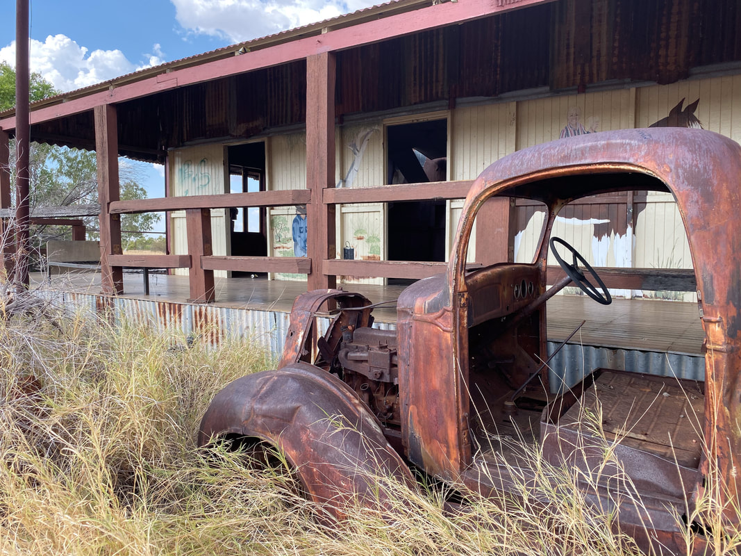
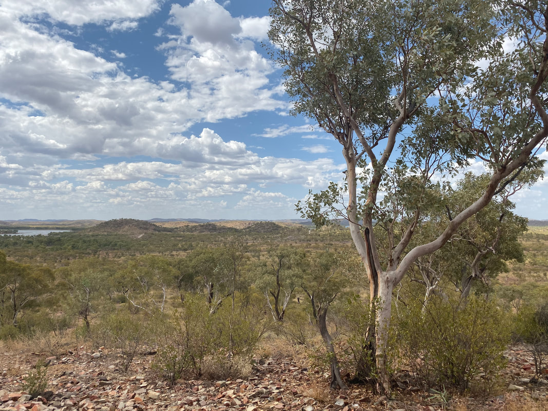
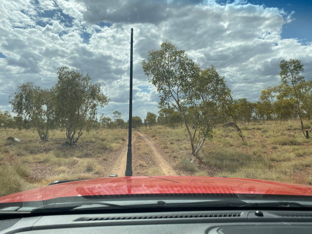
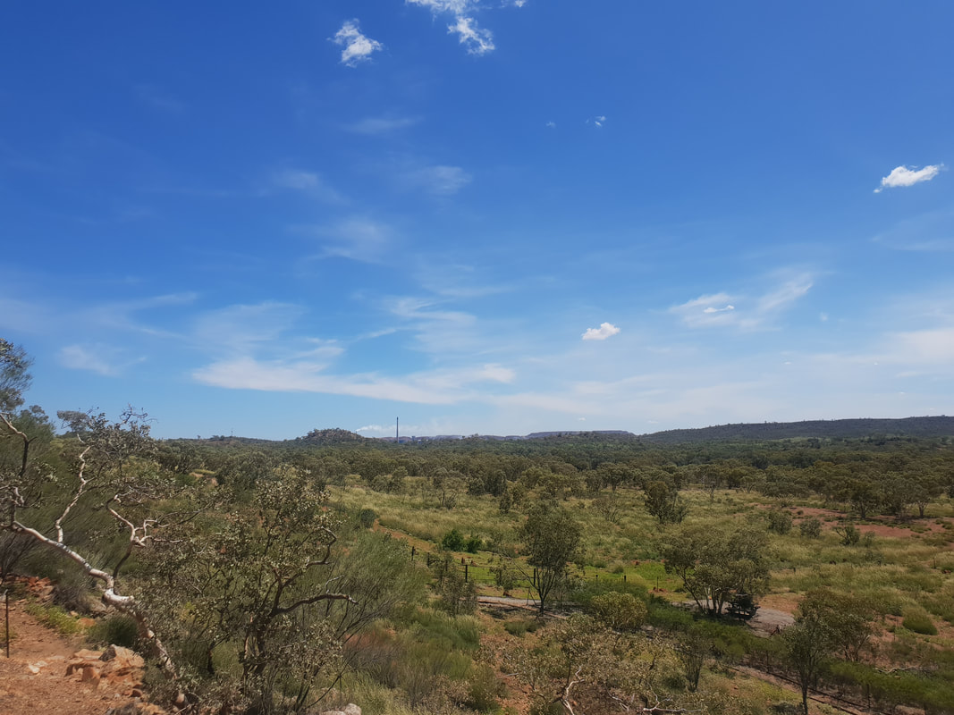
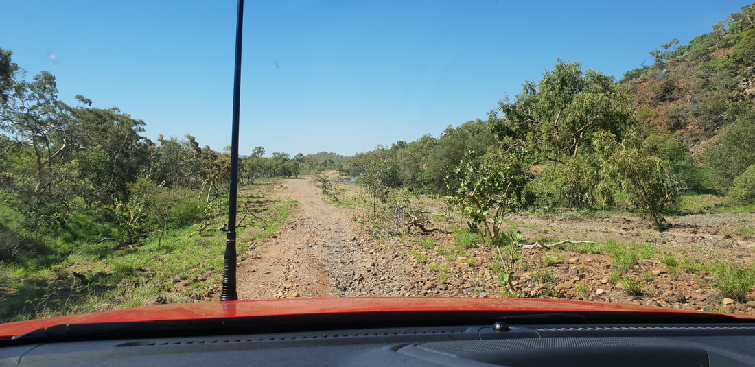
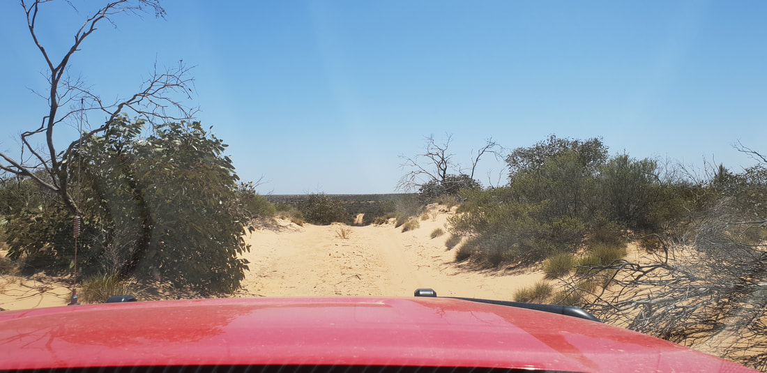
We had a awesome day exploring the area around Lake Moondarra and taking Cherry up and down the dirt tracks. Check out pictures from our previous visit by clicking on the button below. 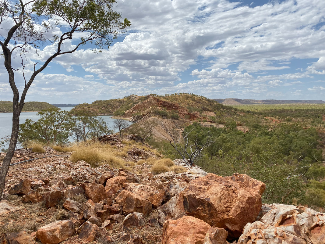
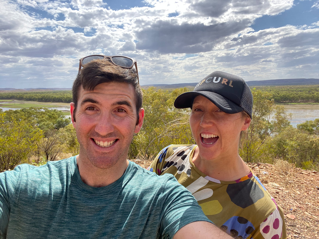
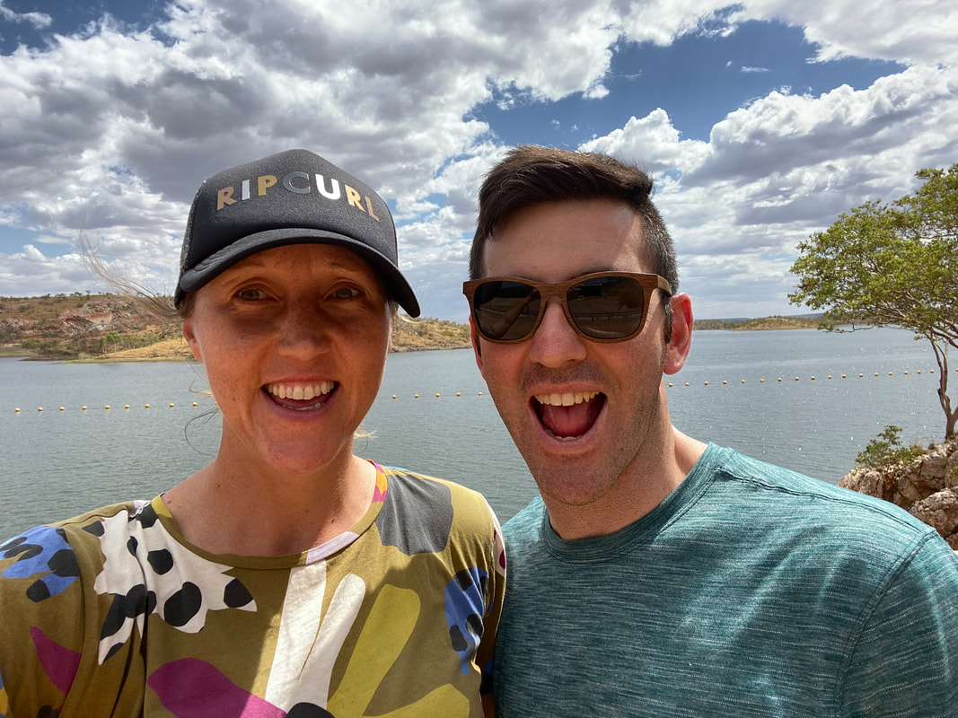
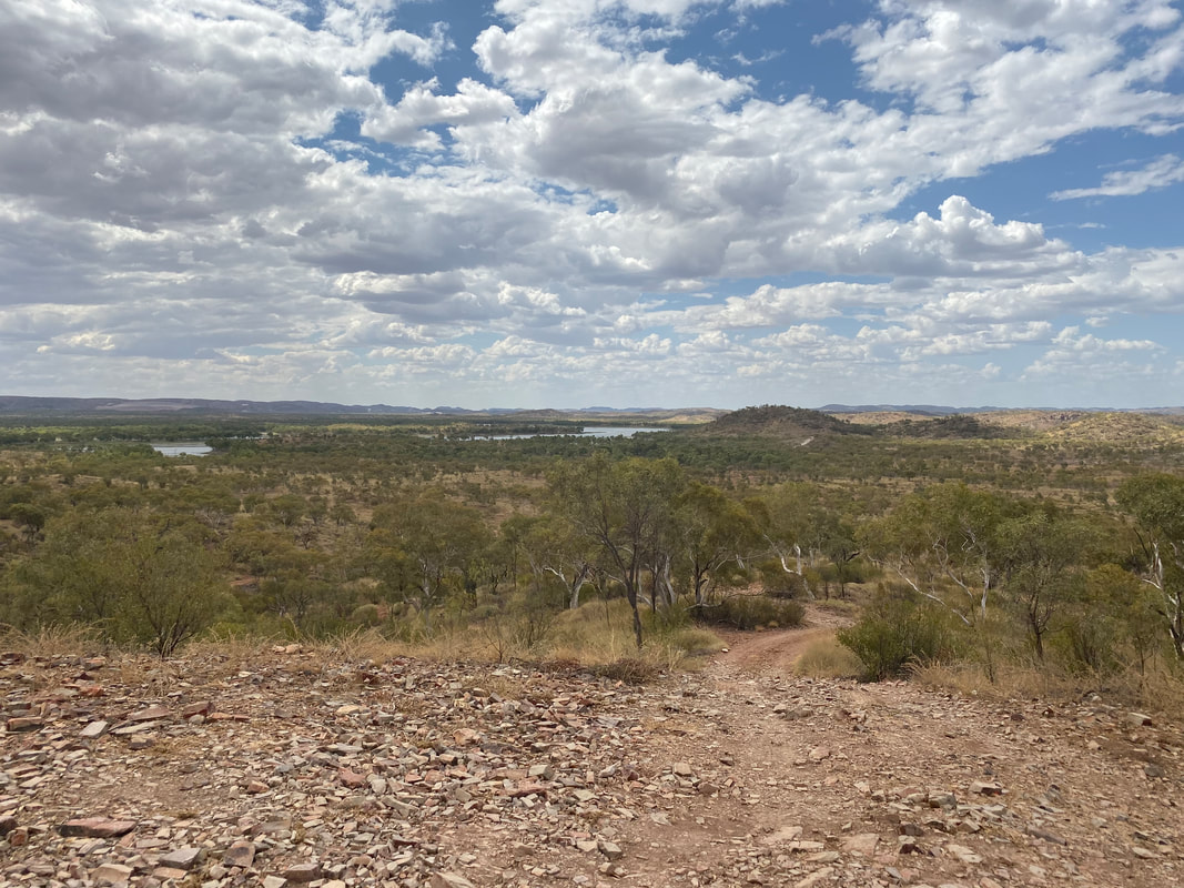
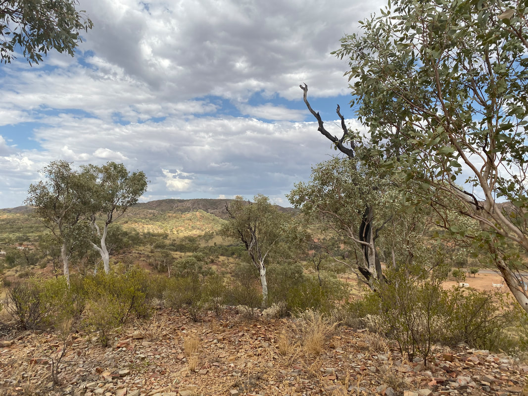
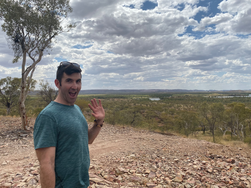
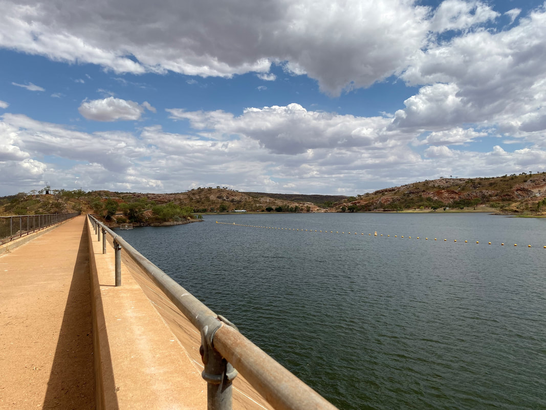
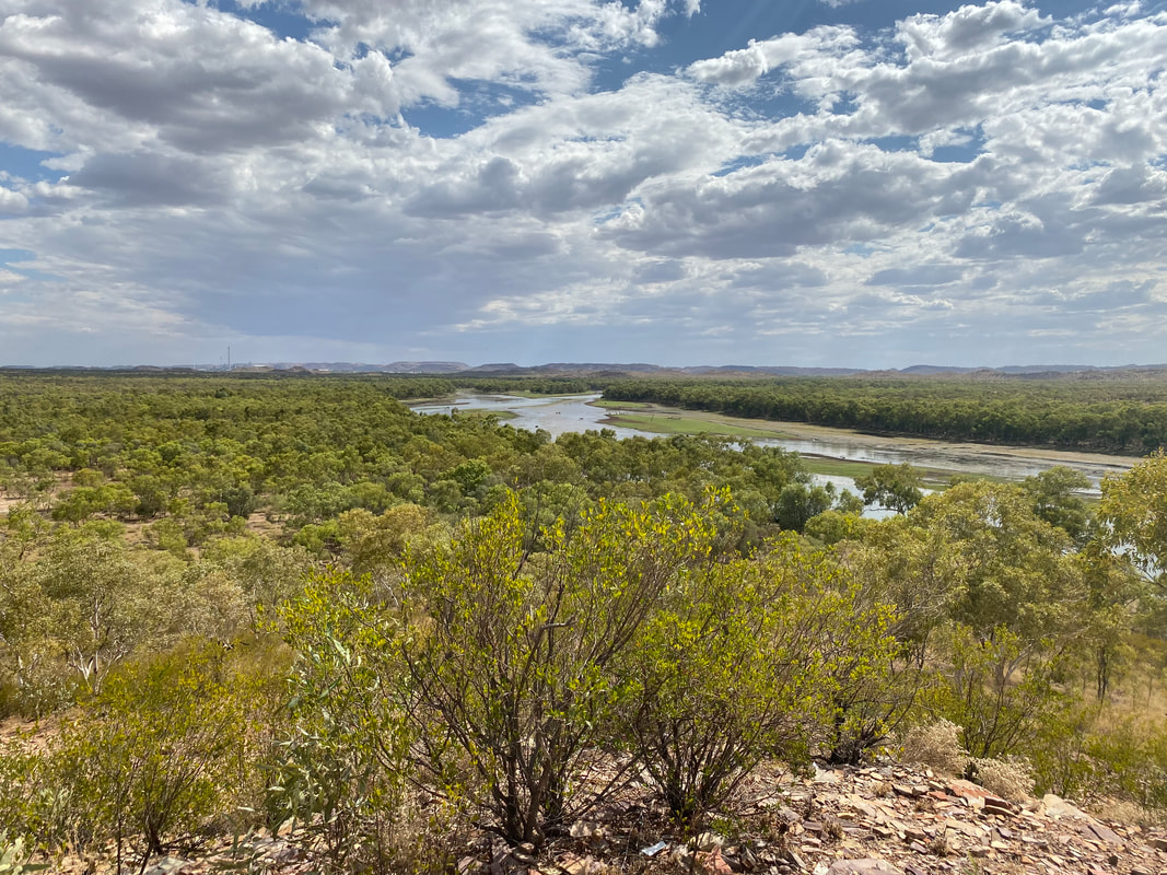
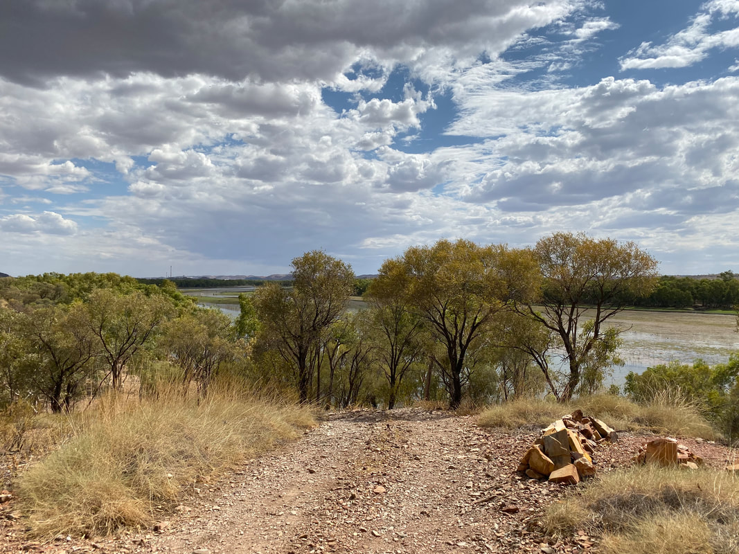
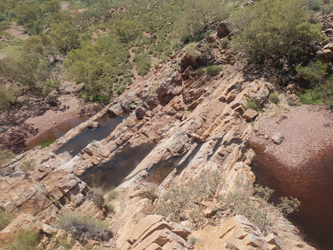
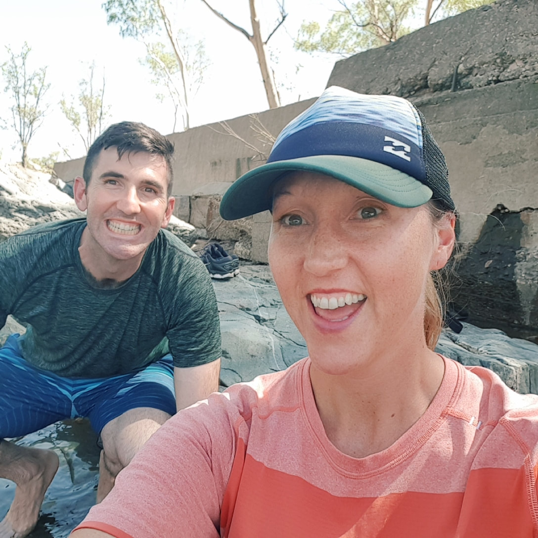
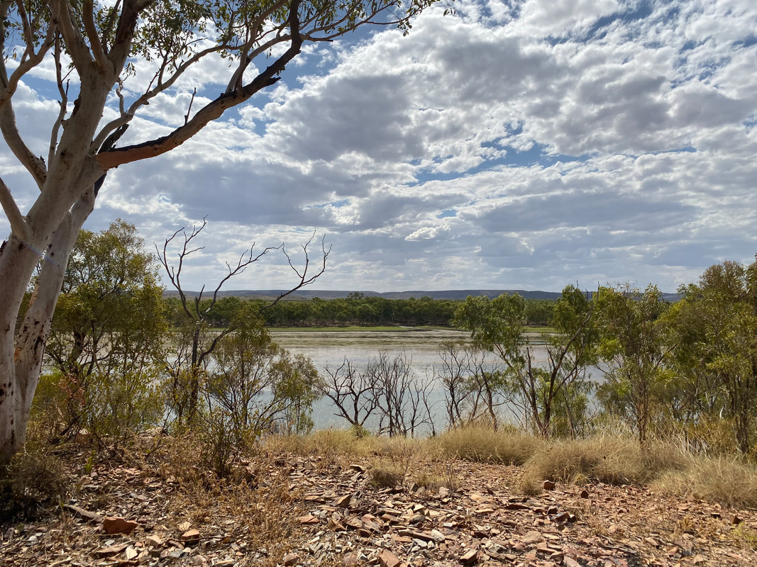 In the outback there is nothing better than seeing natural running water… it’s rejuvenating, cleansing and cooling and we love it! We last visited East Leichhardt Dam practically two years to the day of this visit… what a vibe! 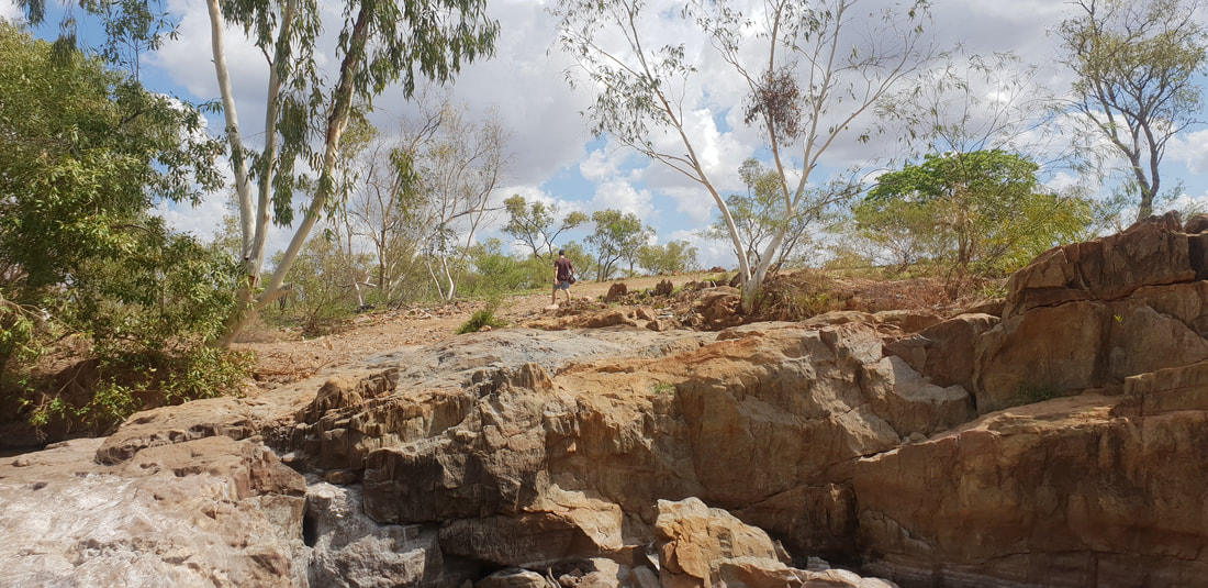 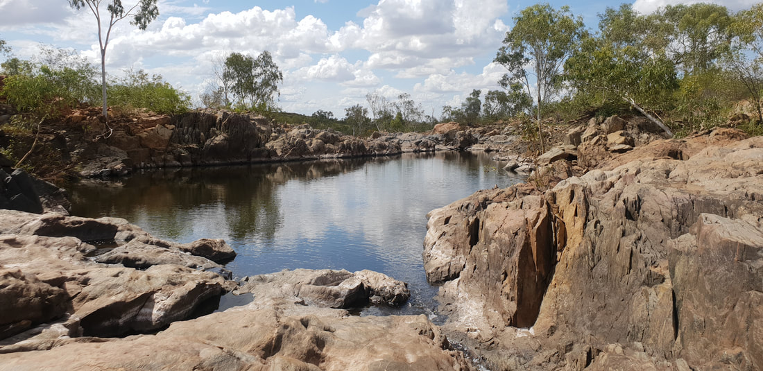 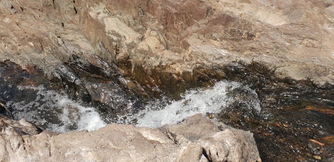 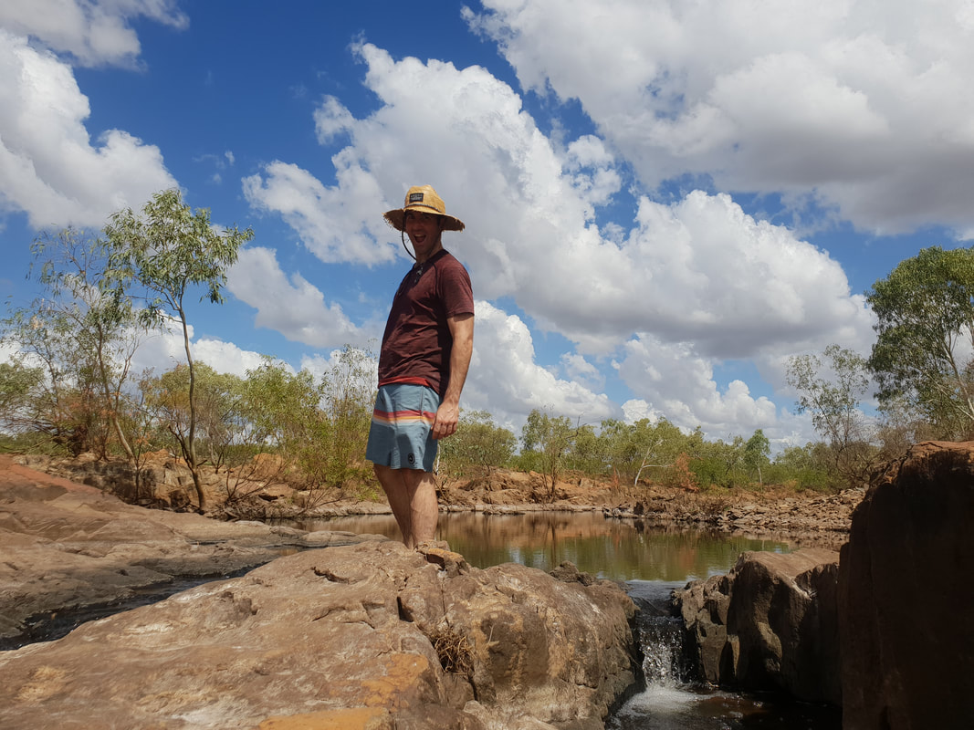 You are so good lookin' 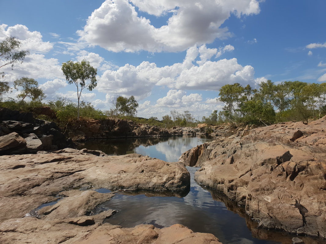 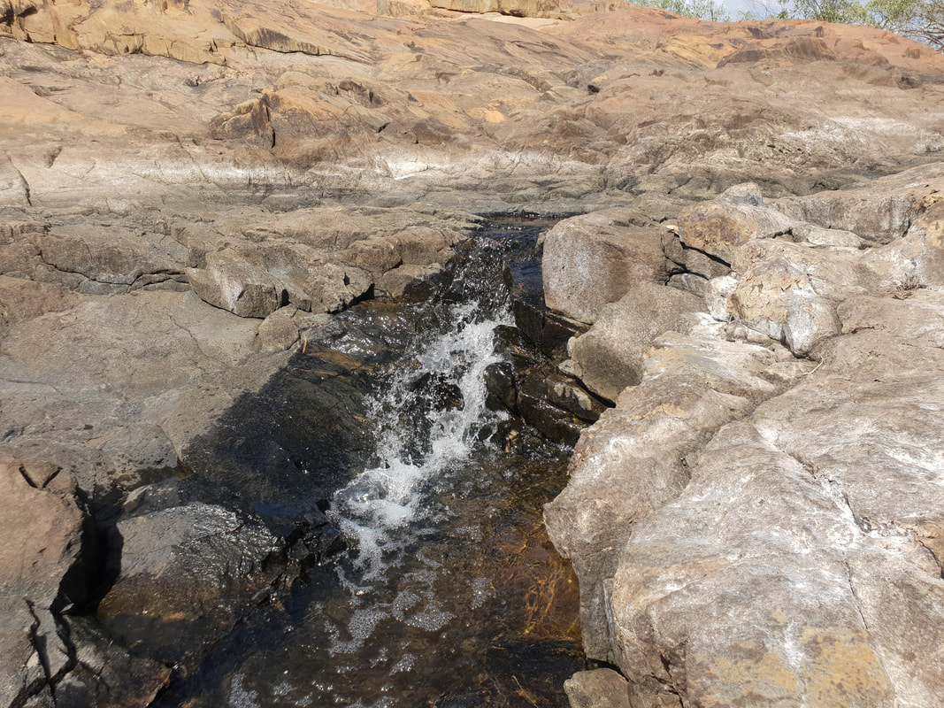 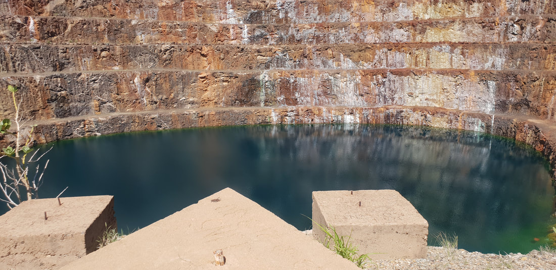 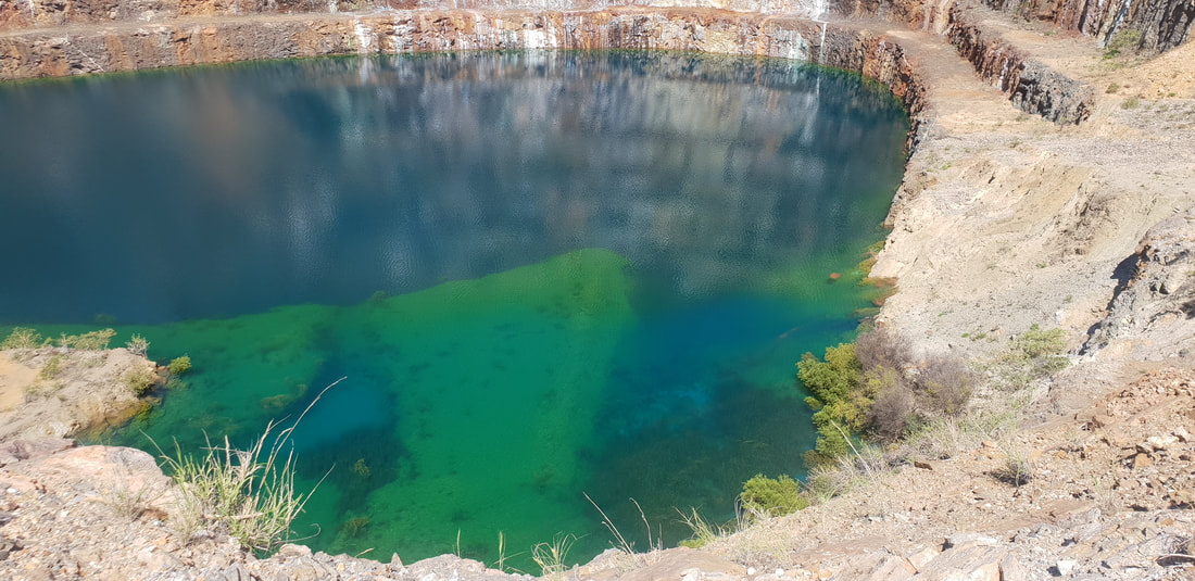
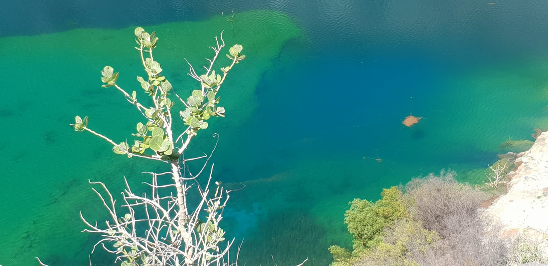
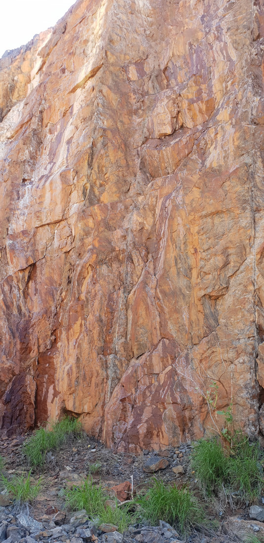
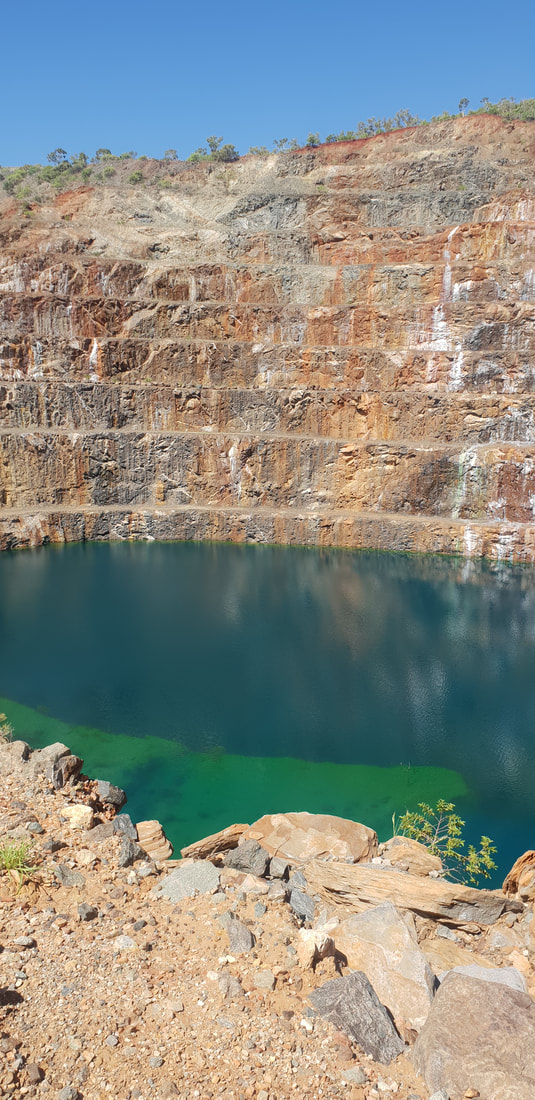
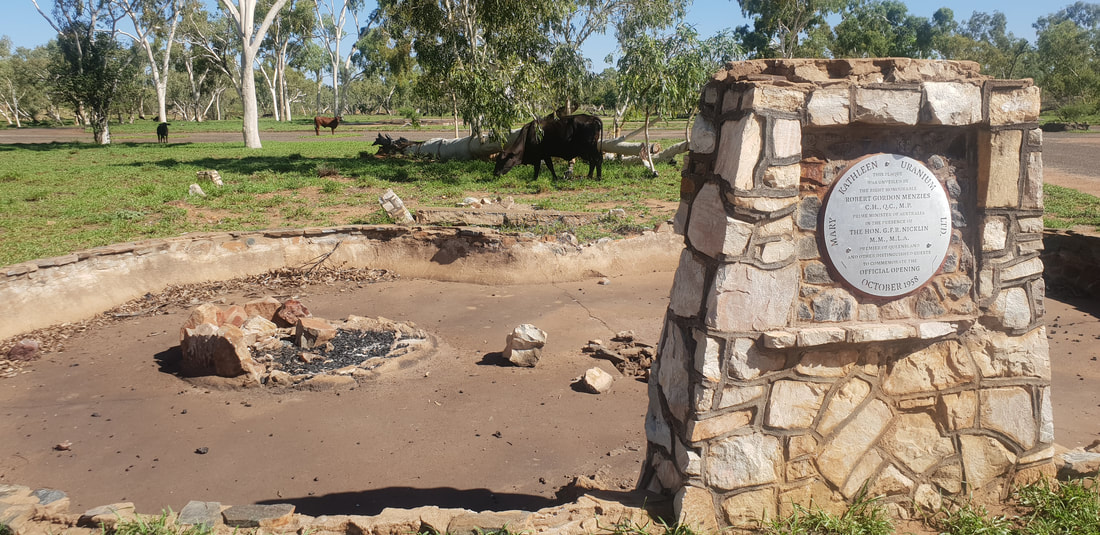 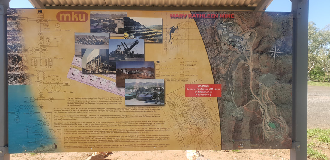 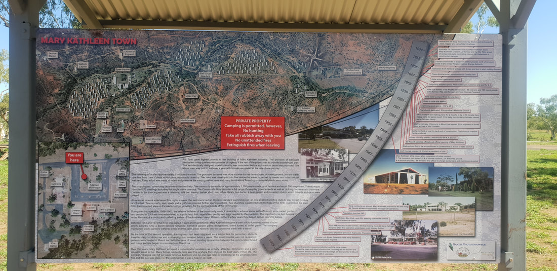 Since our last adventure in 2017 to the old uranium mining town of Mary Kathleen situated half way between Mount Isa and Cloncurry, there have been some significant improvements, such as signage and a new town plaque. The flooded open pit mine that appears turquoise in colour has become a viral Instagram sensation, with many making the pilgrimage to outback North-western Queensland just to add the mysterious “lake” to their "grids". This time for us however, the colour appeared less turquoise and more royal blue, similar to that seen at the Blue Lake in Mount Gambier in South Australia. According to an article published in 2016 by the North West Star, an enduring Mount Isa news provider, the “spectacular blue colour” is attributed to the minerals seeping from the mine walls; for instance, red rust colours are often associated with iron, whilst blue and green colours are attributed with copper. Despite the appeal, this is definitely not a place to swim, as a former uranium mine there is still a risk of radioactivity present at the site, but massively worth the effort to see it in person as photos never truly capture the genius loci of a place.
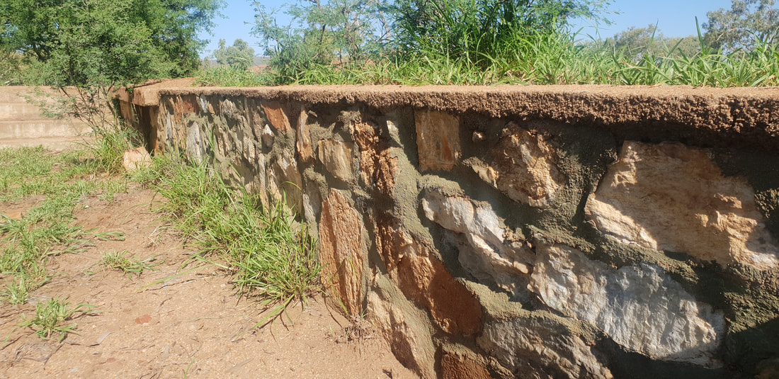
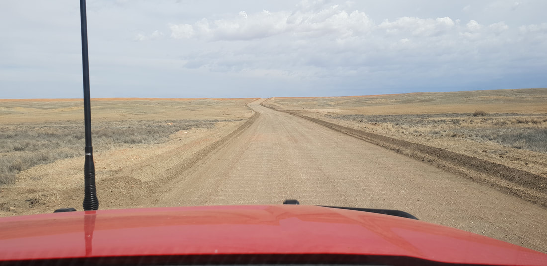
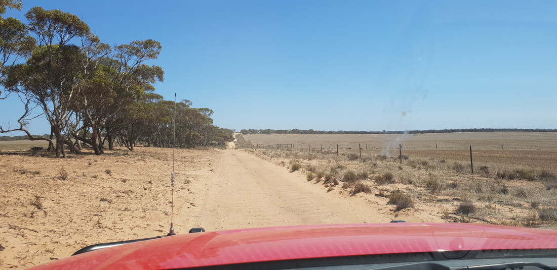
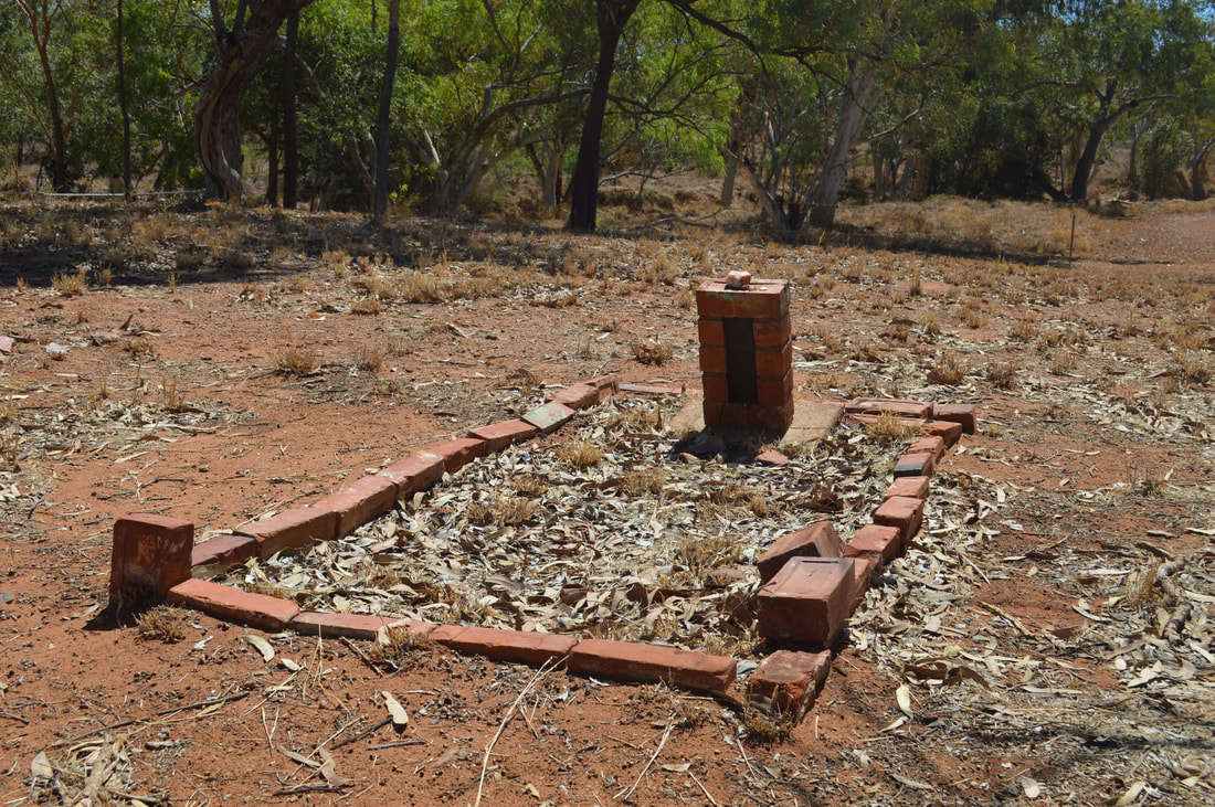
To reach Rosebud Dam, take the turn off to Fountain Springs at the Fountain Springs road-side rest stop halfway between Cloncurry and Mount Isa. Rosebud Dam is past the abandoned township of Bulonga and the remains of the Rosebud Smelter along the usually dry Corella River. When we last visited Rosebud Dam, we used the 2015 Cloncurry Trails Off-Road Touring Guide but since returning to the Isa have upgraded to the 2019 version. Highly recommended! 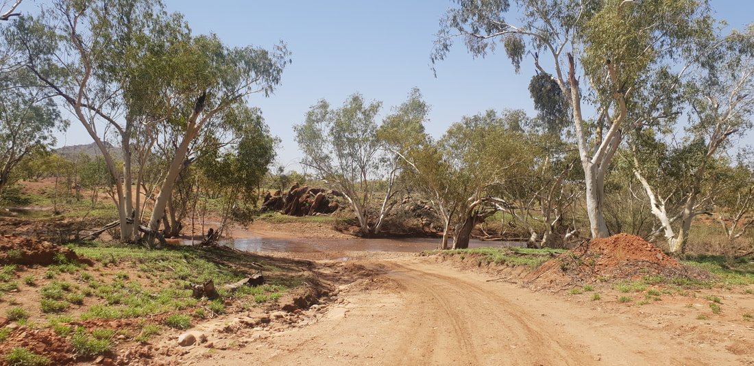 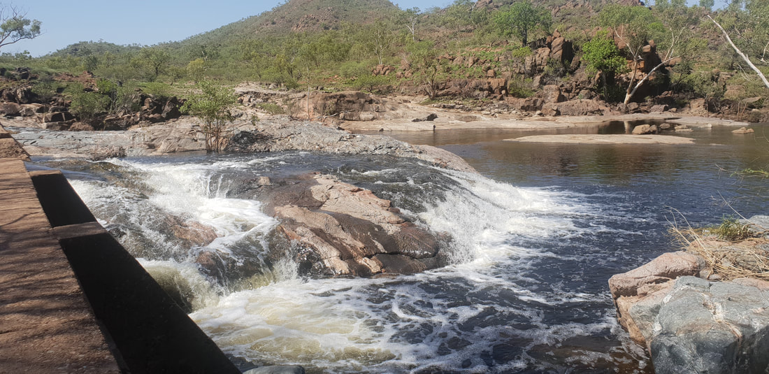 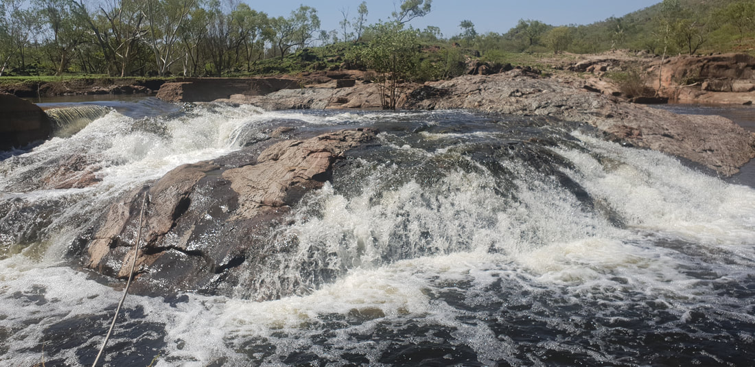 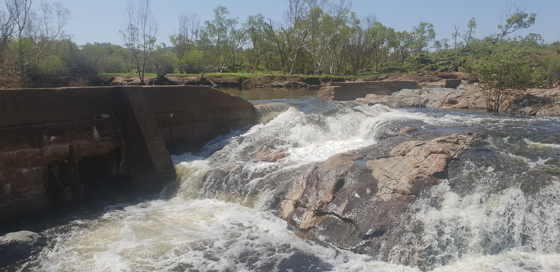 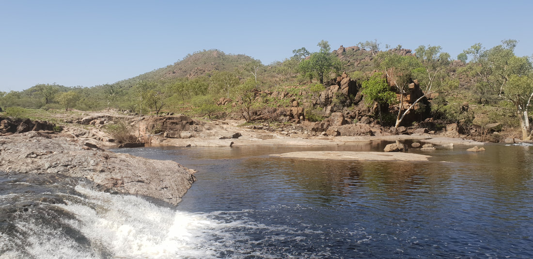 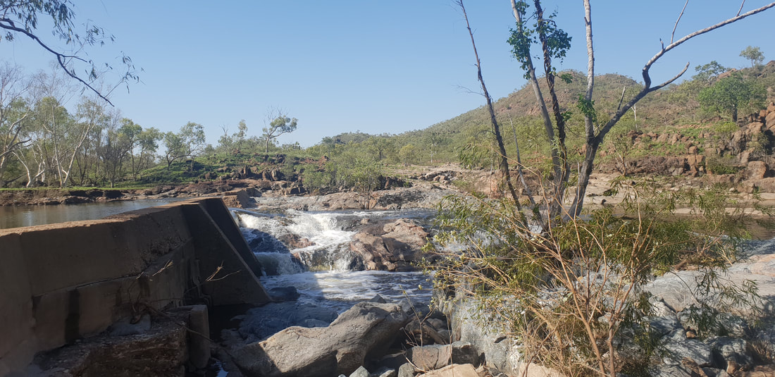 
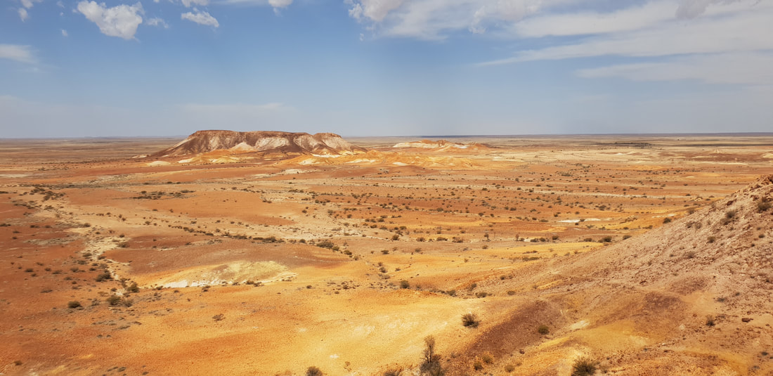
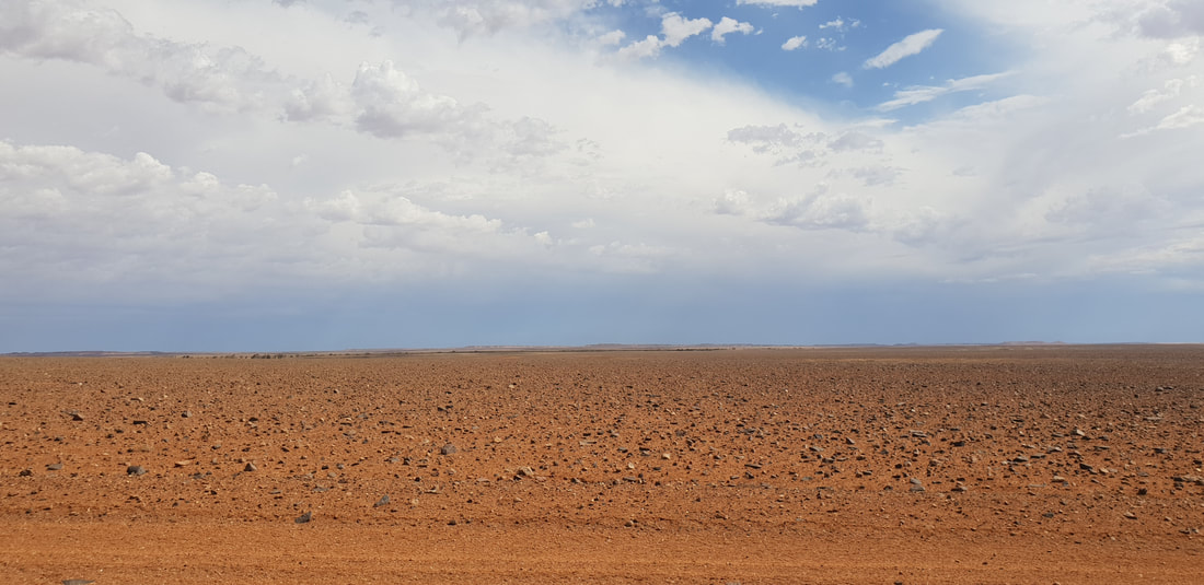
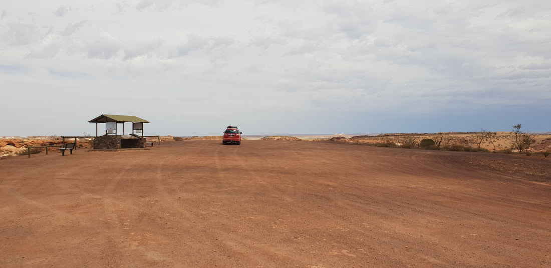
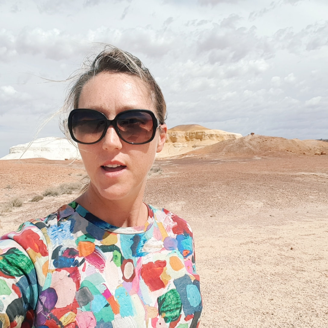
The indigenous peoples of the Mutuntjarra and Antakirinja traditional groups have lived and hunted on these lands for thousands of years. Today jasper and silcrete stone tools can still be found in the area, of which holds cultural significance as a teaching place for young watis (men). As such the cultural story of the area remains closely guarded yet some aspects are known. The area prior to European settlement was called, Umoona, named after the local mulga tree, that means ‘long life’. The flat-topped mesas and rocky outcrops amongst the landscape represent in indigenous culture animals, that include the Ungkata (breaded dragon lizard) and Kalaya (emu). Tudu (red ochre) used for ceremonial body decoration is sourced in the Kanku, which is located about 30 kilometres north of Coober Pedy. These protected lands were once an inland sea, now home to about 60 native flora species and a variety of birds and wildlife including the fat-tailed dunnart and red kangaroo. The colours in the landscape are breathtaking and incredible to witness in person. 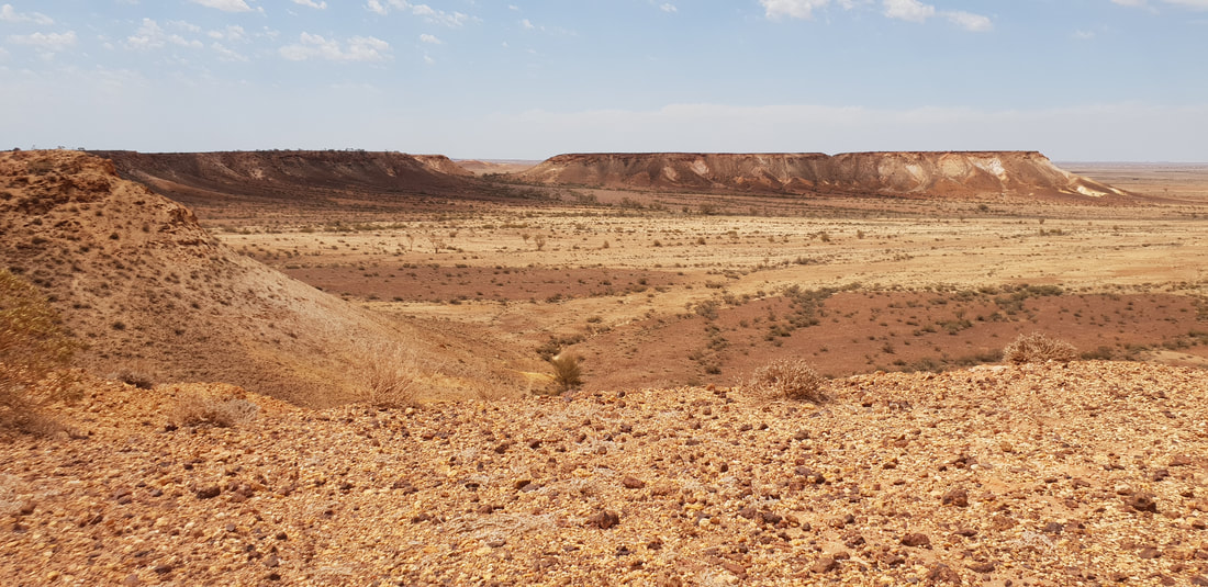 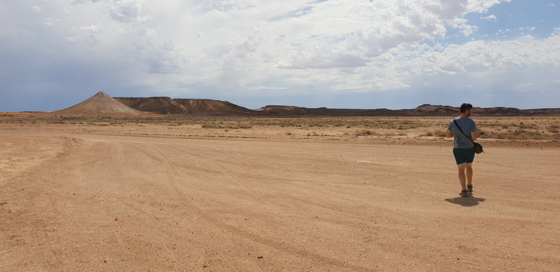 Wati the owner of the two dogs 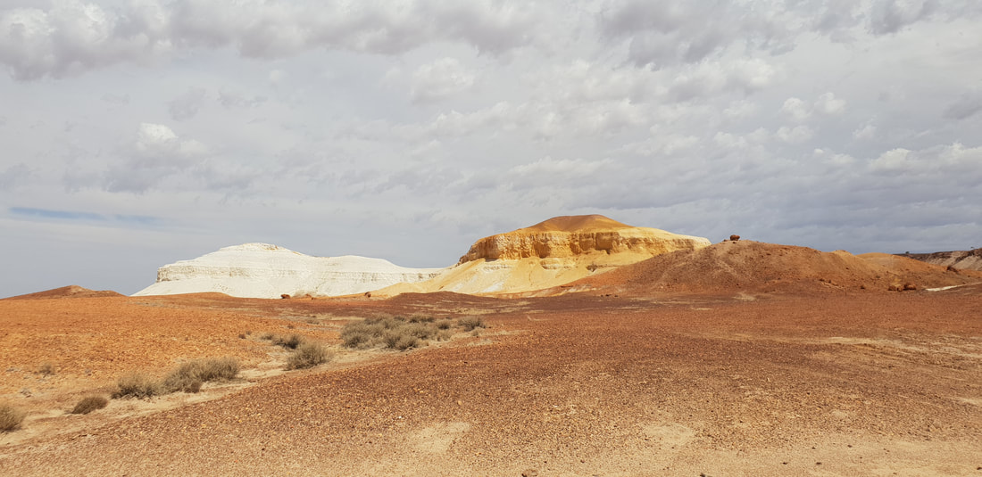 Two dogs (papa) sitting - one yellow, one white
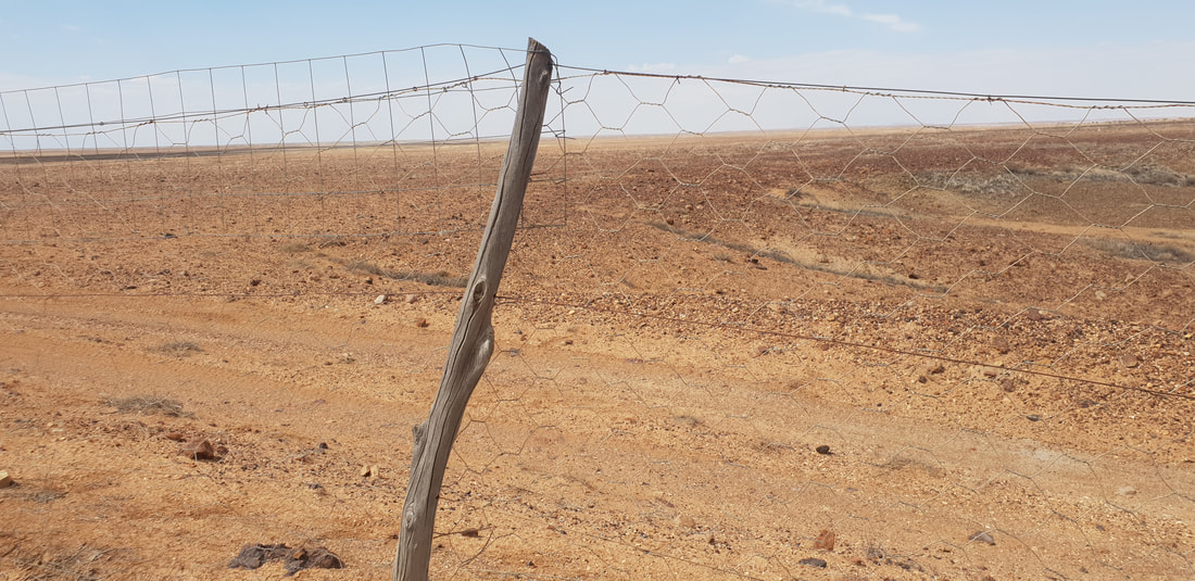
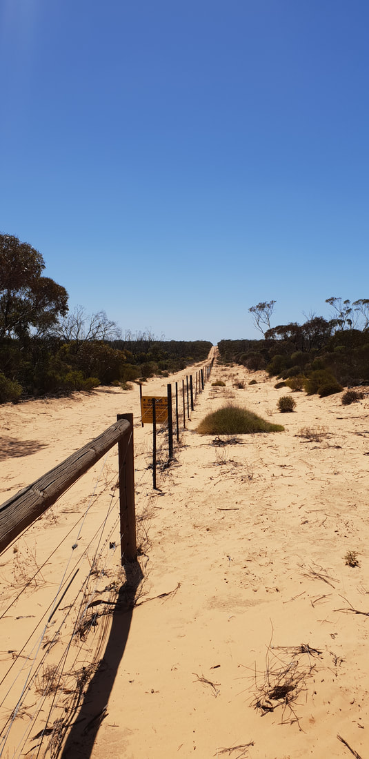
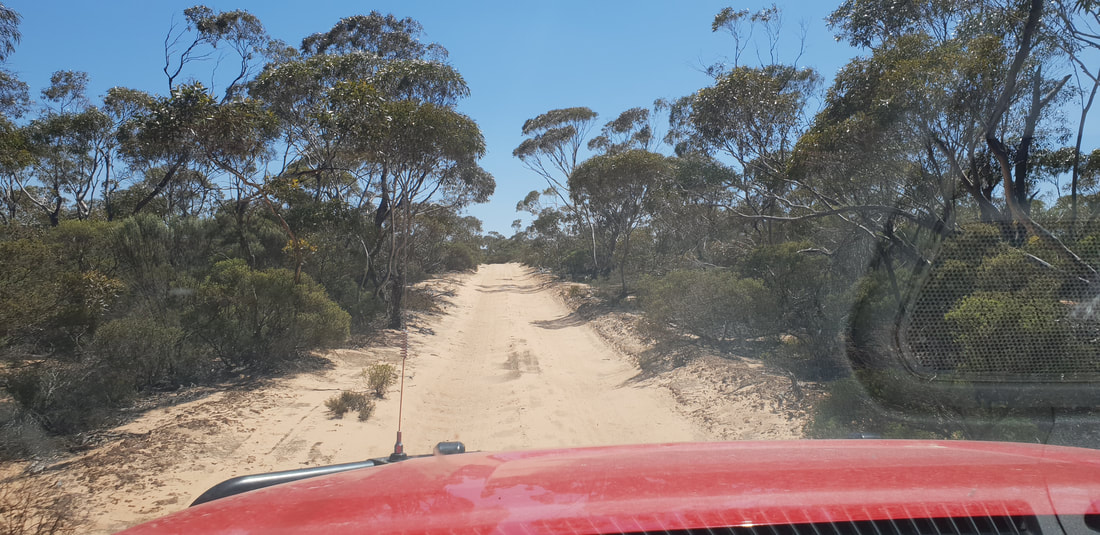
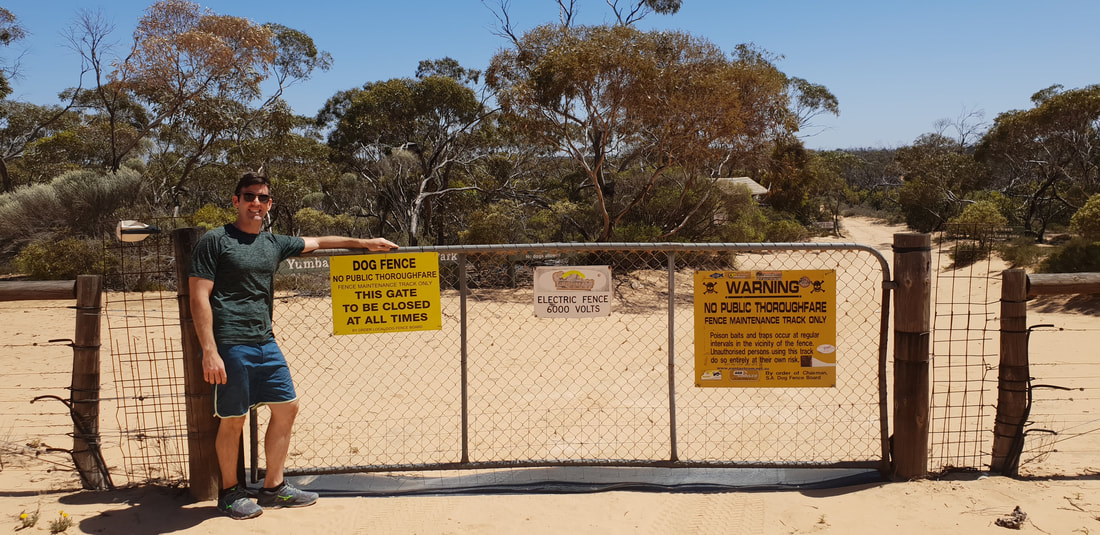
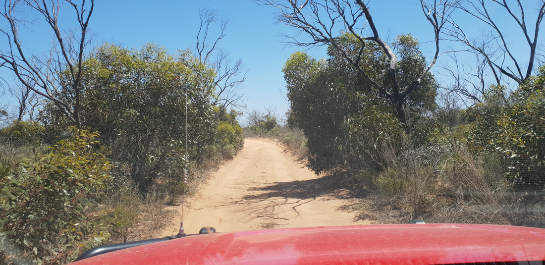
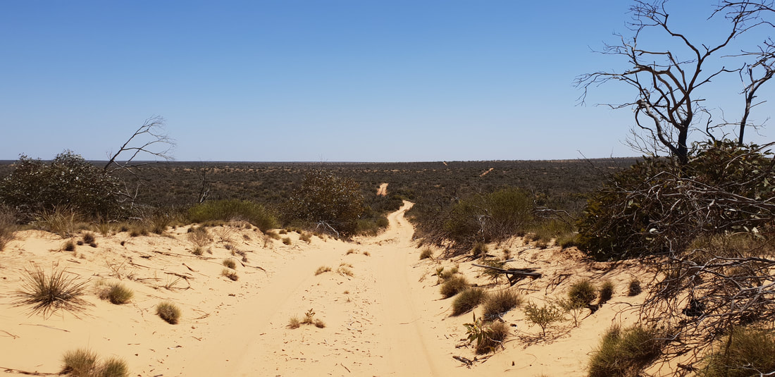
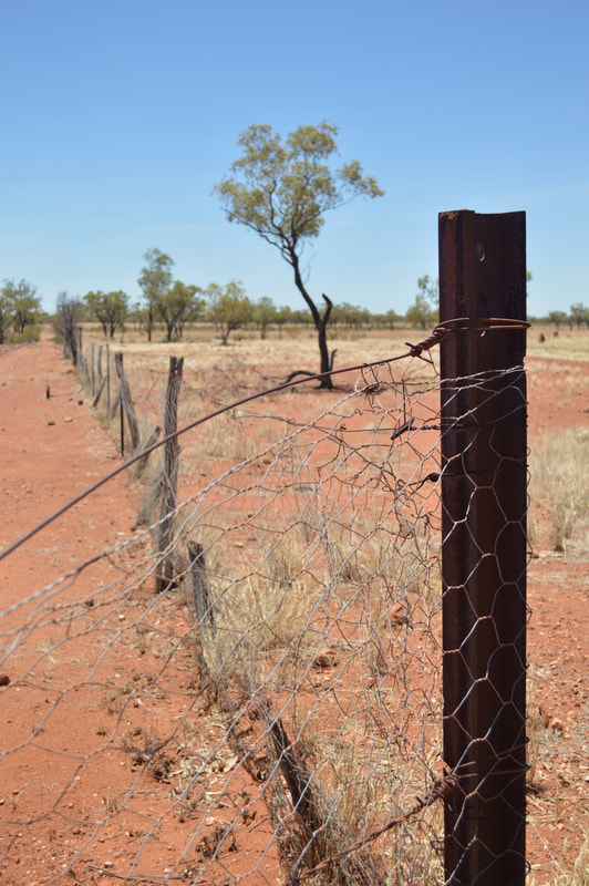
 Dog FenceThe longest fence in the world, spanning 5,614 kilometres, was originally built in the 1880s to keep rabbits out of the south-eastern region of Australia, however, was updated in 1946 to exclude dingoes, after settlers who had started to use the area for grazing in 1941 experienced many sheep losses. The fence starts at Nundroo near the Great Australian Bight and extends all the way through South Australia along the New South Wales border into Queensland, ending near Dalby in the Darling Downs. The ‘Dog Fence’ as it is commonly referred runs along the edge of the Kanku-Breakaways Conservation Park, and we were able to drive along it on our way back to Coober Pedy. Whilst staying at Ceduna we took a trip to see the ‘Dog Fence’ along the Googs Track at Yumbarra Conservation Park. 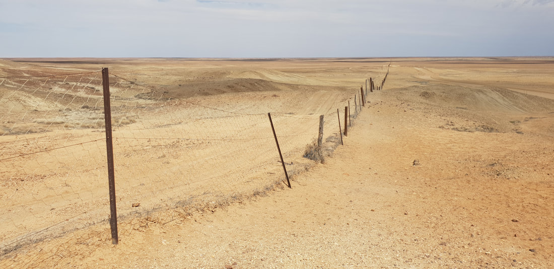
 The area known as Moon Plain
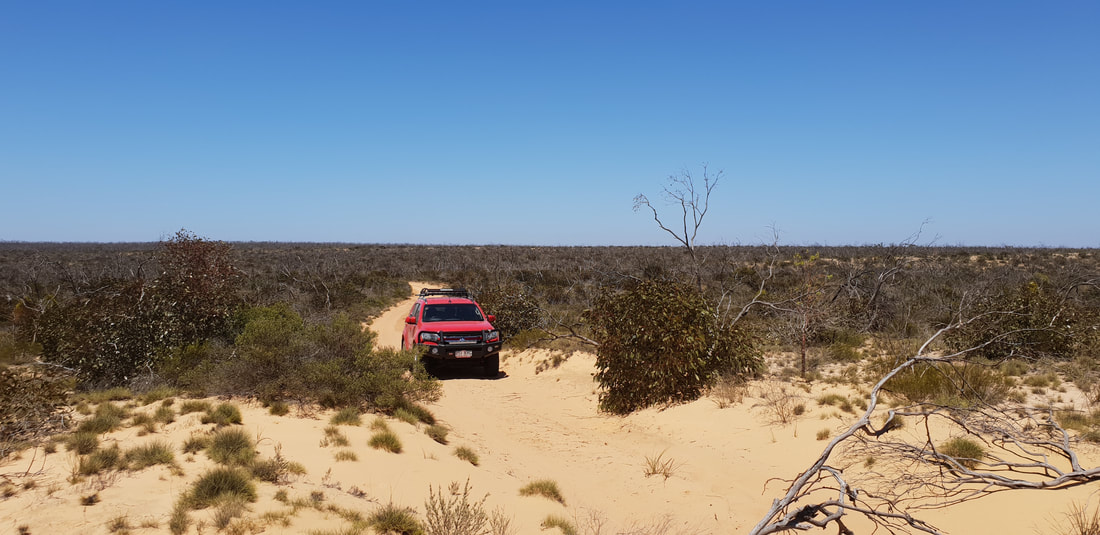 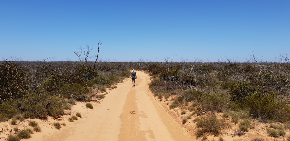
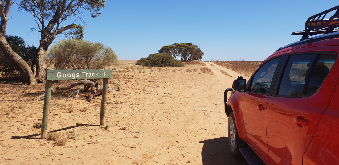
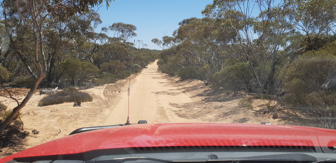
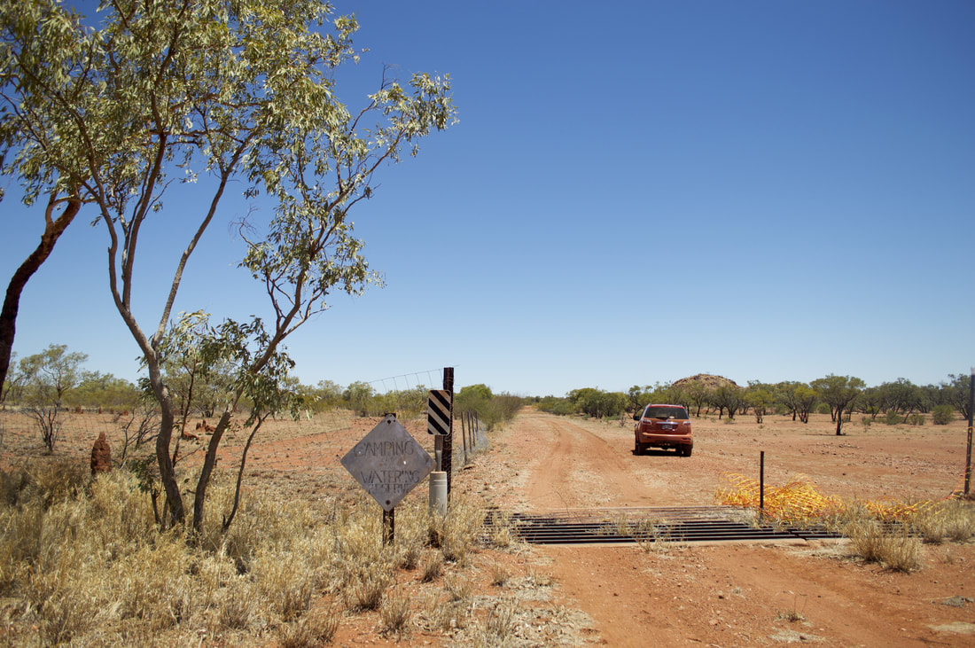
In 1973 John (Goog) and Jenny Denton along with their son, Martin (Dingo) Denton decided to construct a road through their property, Lone Oak Station located 35 kilometres north of Ceduna to the railway station further north at Malbooma. It was intended for commercial pastoral use, but has never been used for this purpose and is now a recreational track covering a distance of approximately 190 kilometres for 4wd adventuring. The Denton's completed the track to Mount Finke (150 kilometres) in 1976 and the track was named 'Googs Track' in John's honour. We only drove about 40 kilometres of the track to see the 'Dog Fence' and test ourselves on a few dunes. Apparently there are over 360 sand dunes to navigate on the track. But we would definitely be keen to get back on it, as it is said to be the precursor for traversing the Simpson Desert Track. The 'Dog Fence' was originally constructed as a rabbit-proof fence in the 1880's, but was updated in 1946 to keep dingos away from grazing sheep stock, which were becoming a real problem, killing sheep. The fence still to this day is the longest fence in the world at 5,614 kilometres, but was once 9,600 kilometres. The fence has been mildly successful, but dingos still appear at times on the southern side as infant dingos make their way through holes.
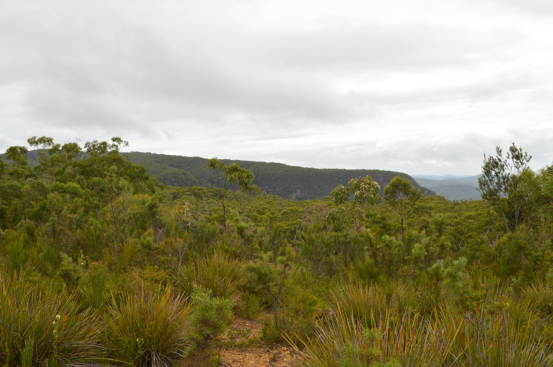
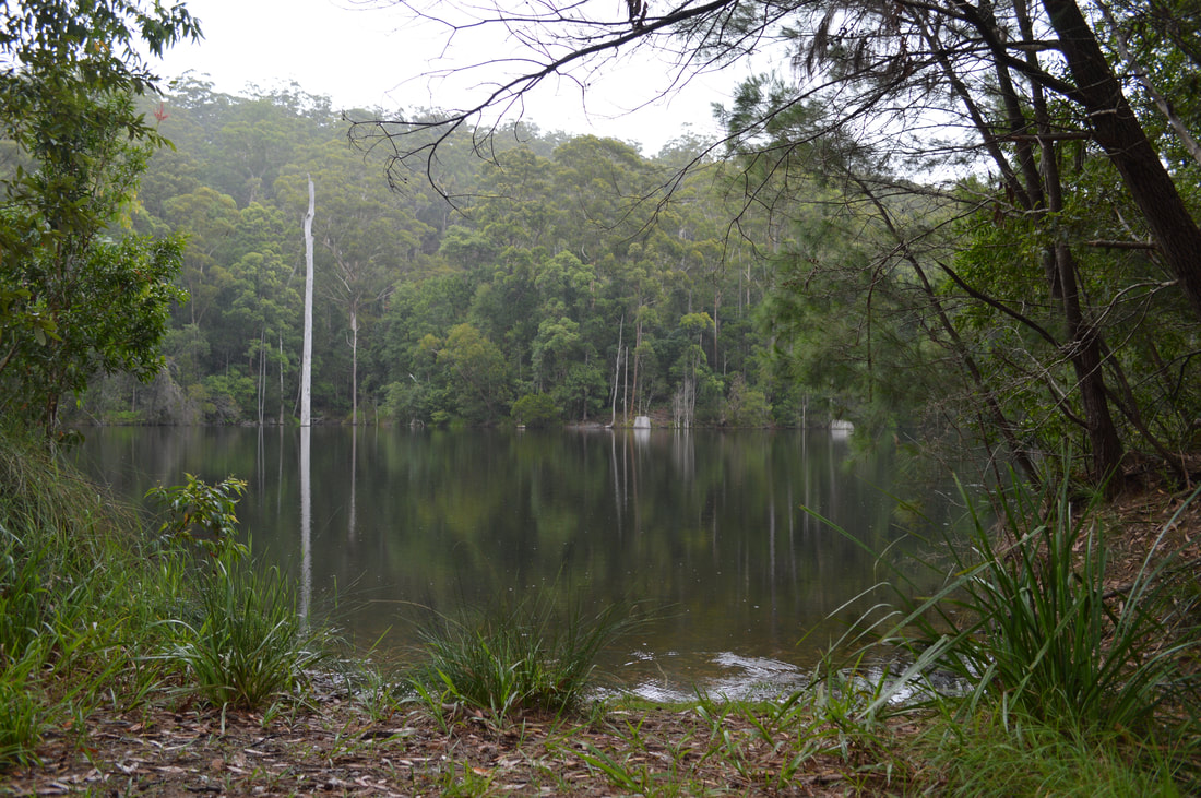
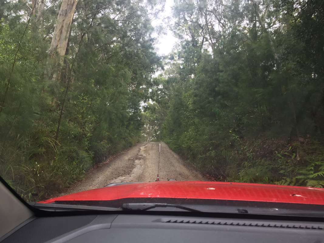
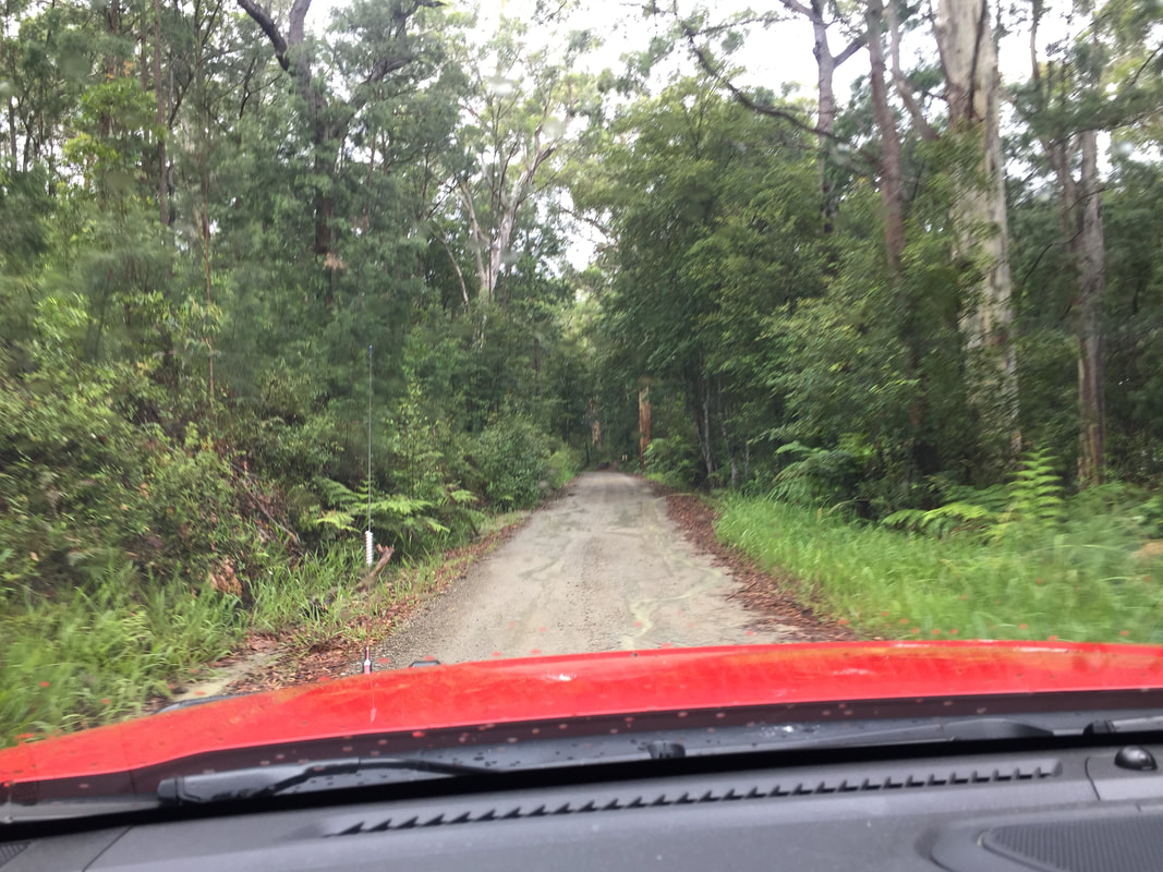
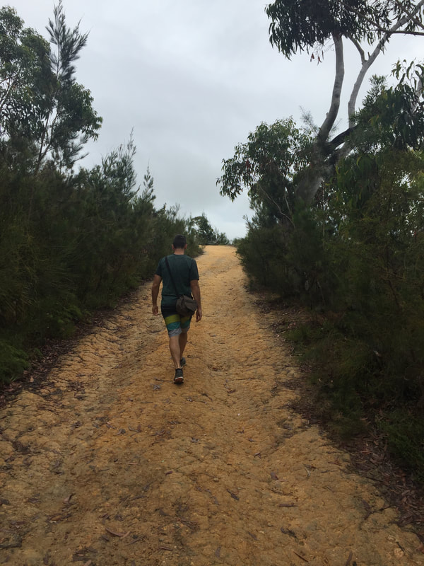
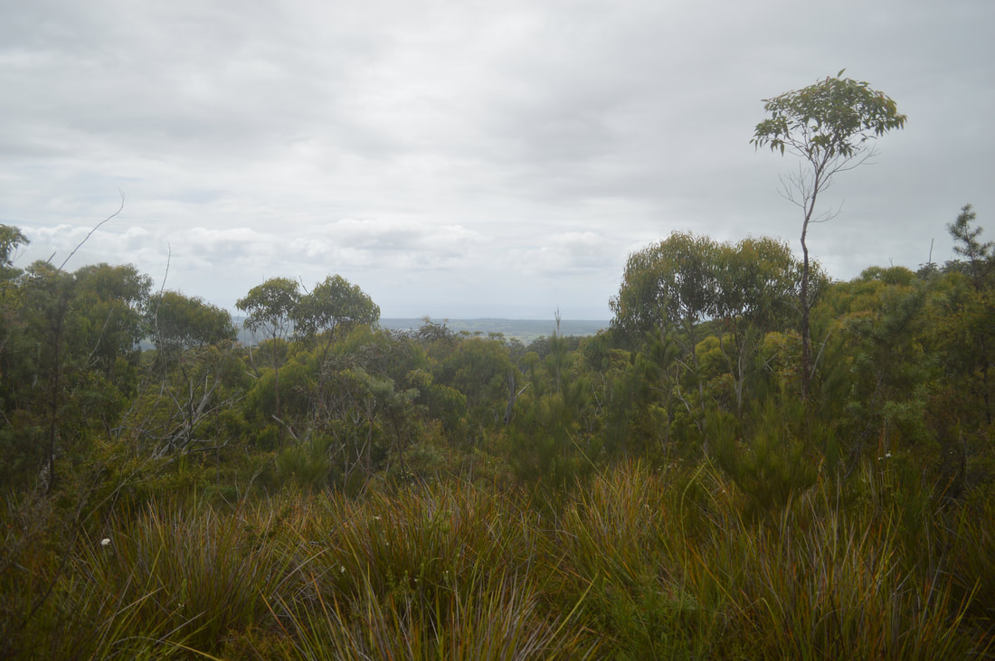
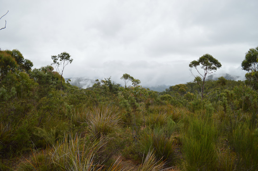
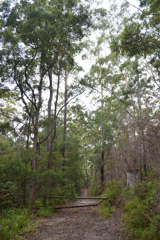
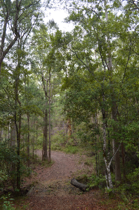
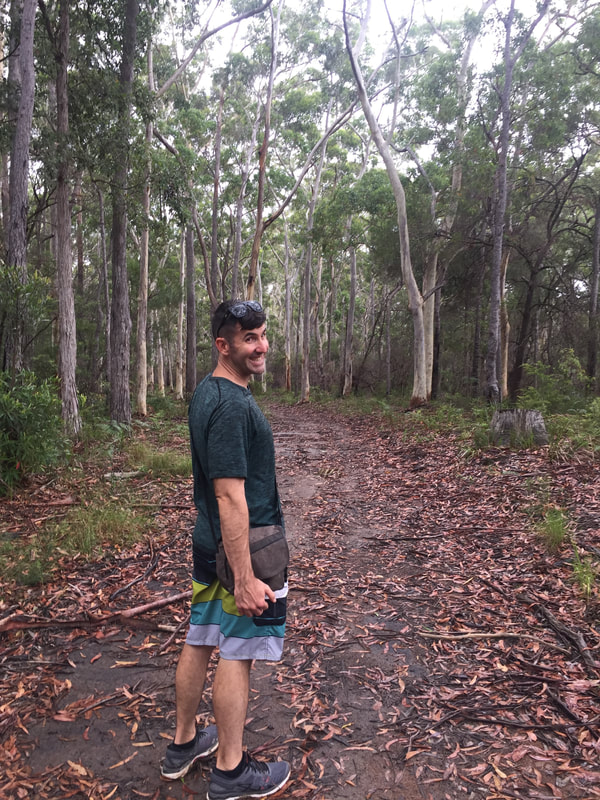
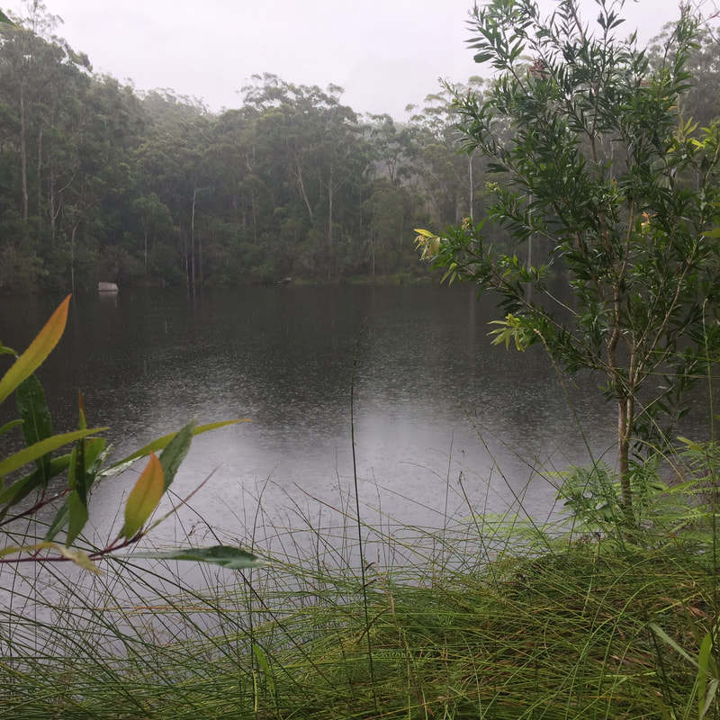
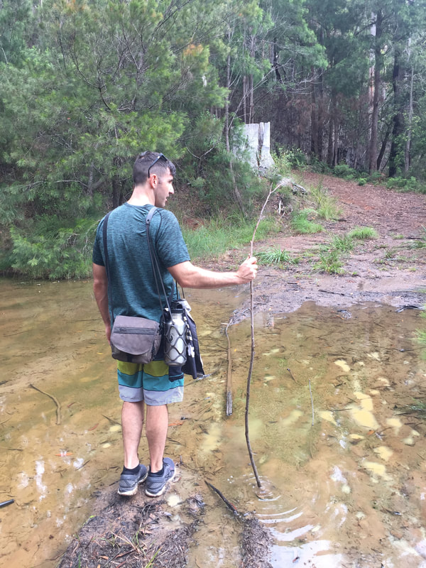
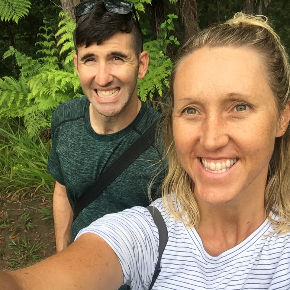
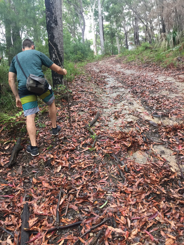
Rayners Track treks through the Koonyum Range, which is part of Mount Jerusalem National Park in the Byron Hinterland. The track passes through lush green forest before arriving at a private lake, then climbs extremely steeply for about 200 metres before heading out onto a gravel road and up to Teales Lookout. The lookout provides views out towards the coast and surrounding Byron Hinterland mount ranges. As rain consistently fell we completed the track absolutely drenched with muddied shoes from a creek crossing, but it was totally worth it for the magical experience of seeing the forest twinkle with crystallised rain drops and for the entertainment of ducking and weaving the numerous spiders and their webs intrinsically constructed across the track.
|
The JourneyChoose Curiosity The Catalogue
November 2023
The Tags
All
|


 RSS Feed
