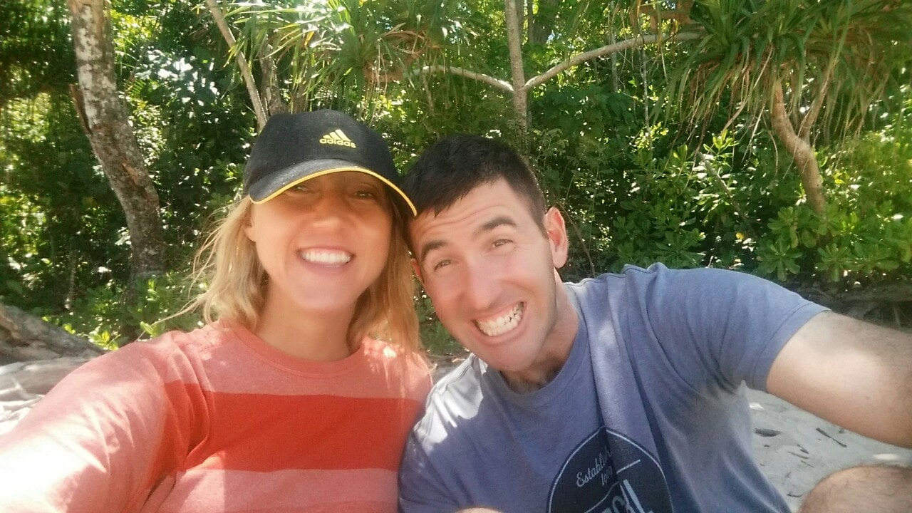
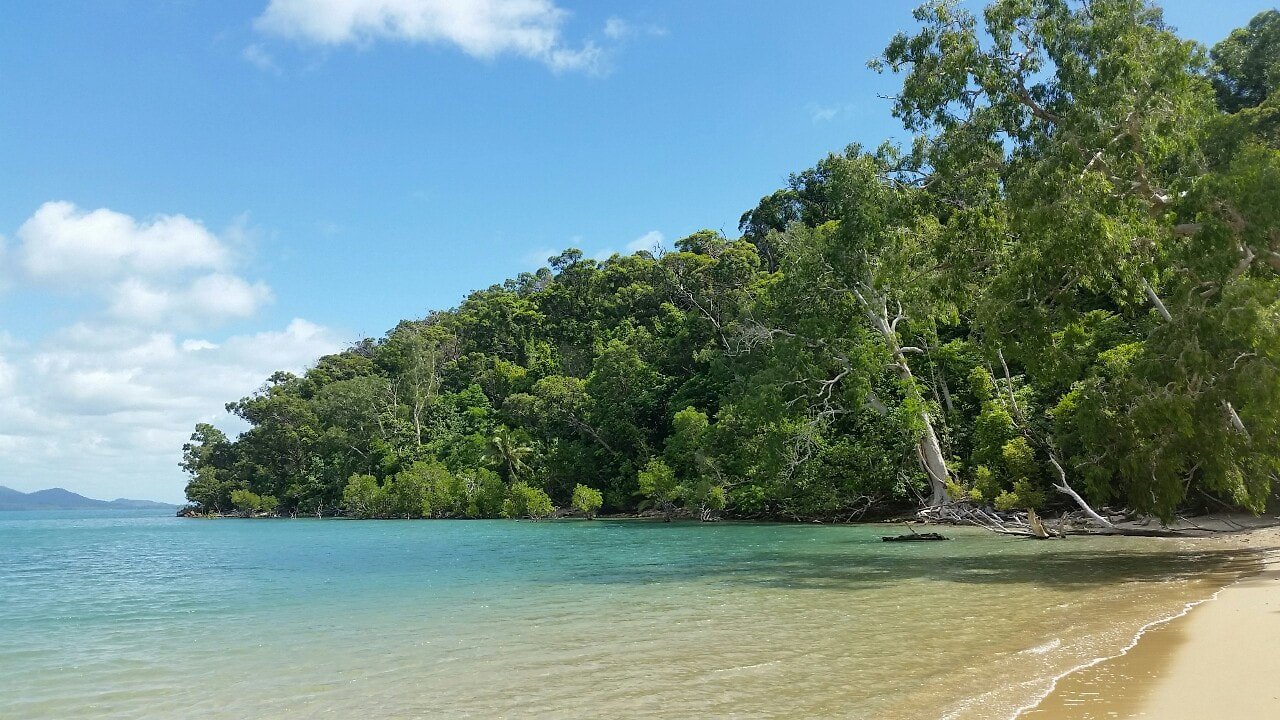
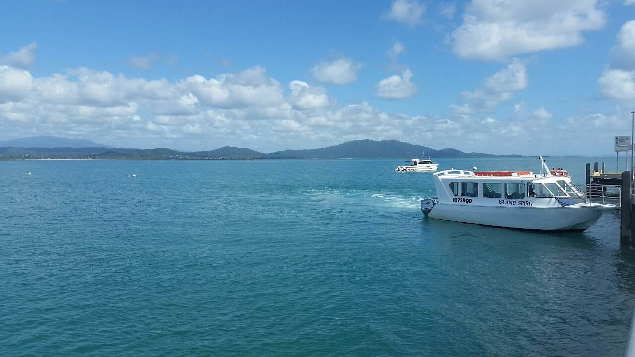
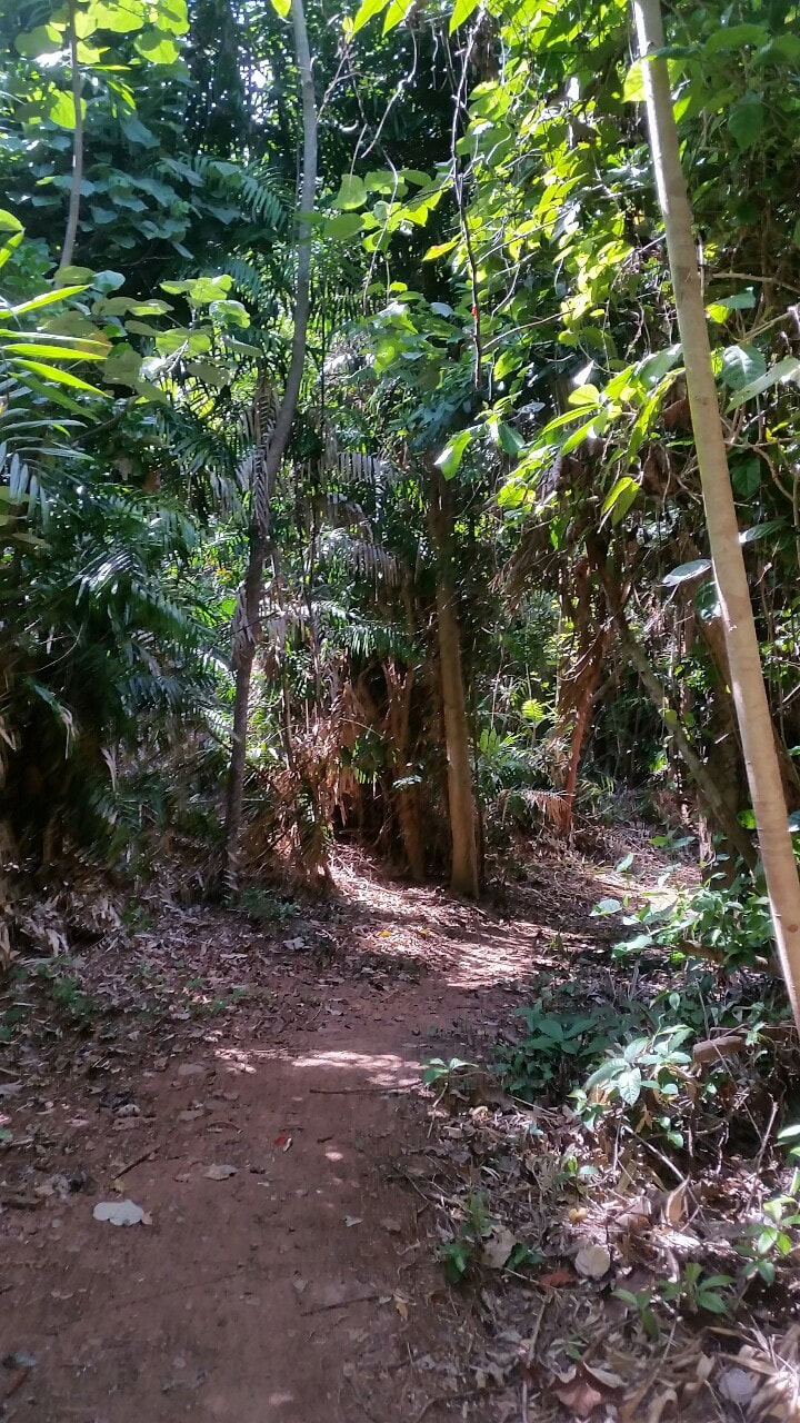
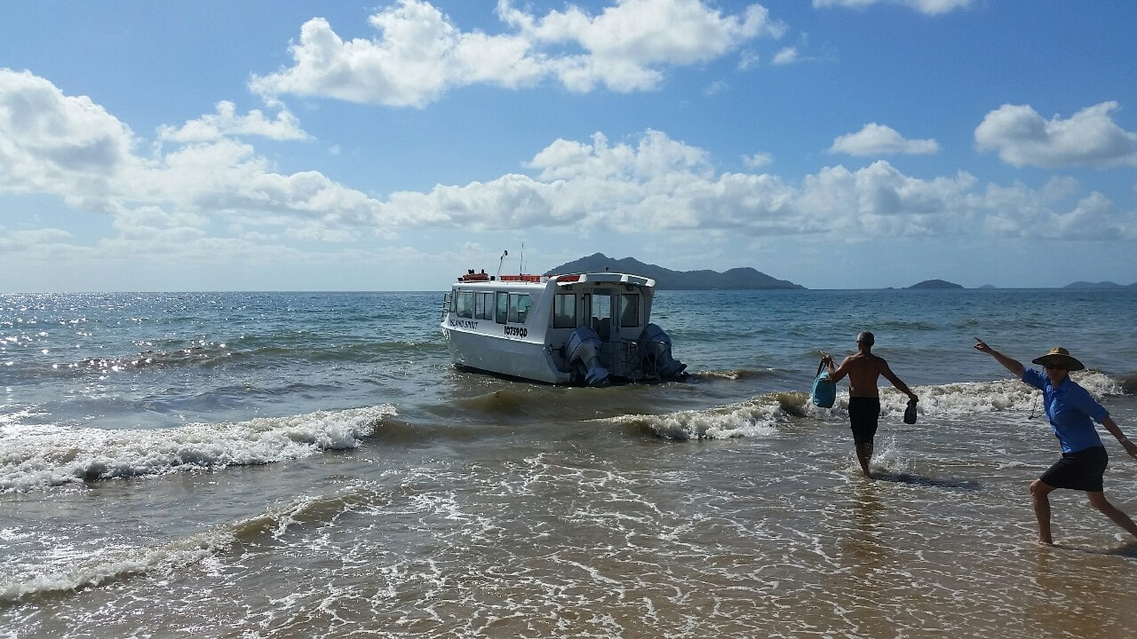
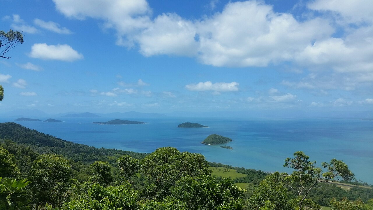
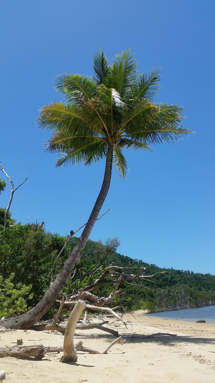
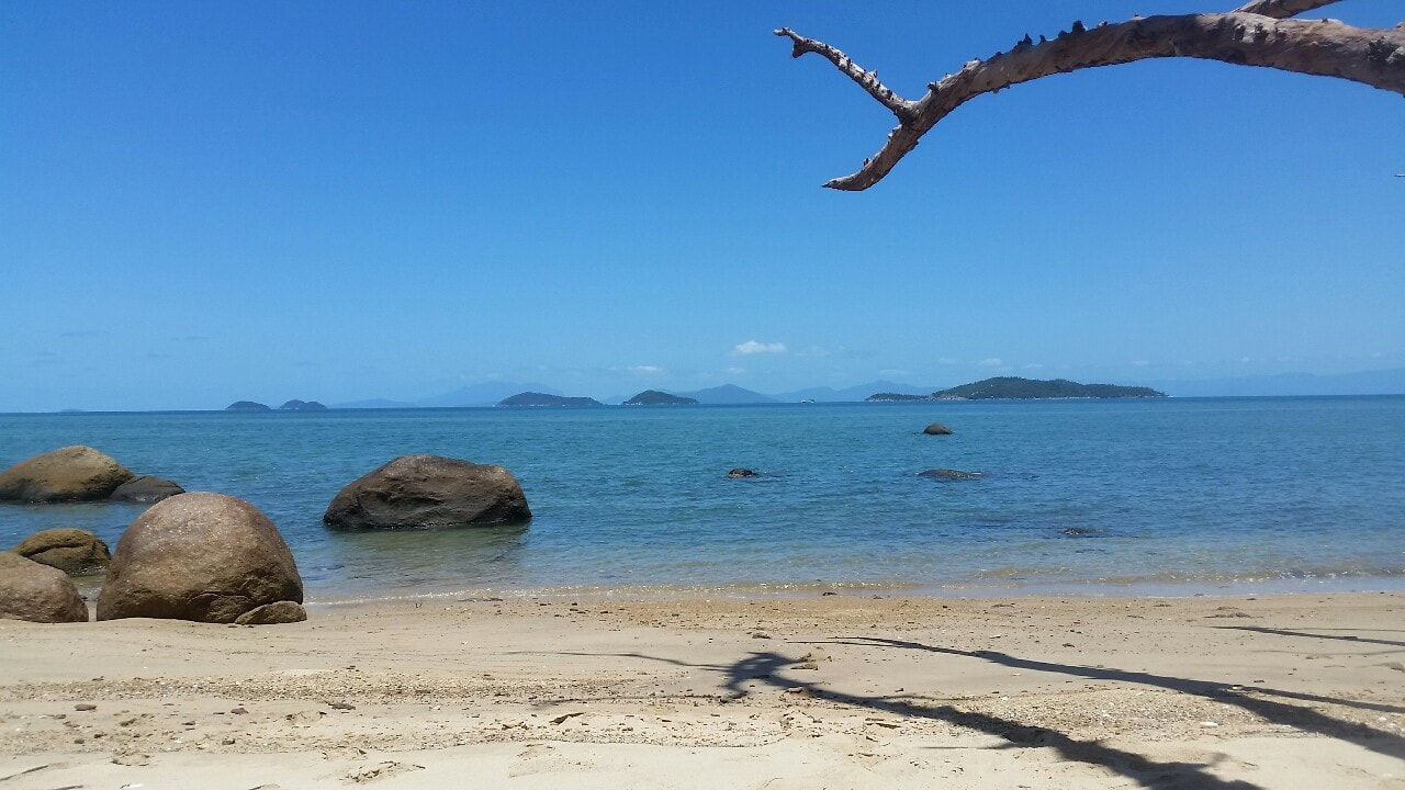
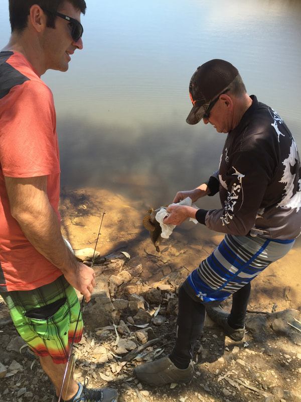
 Dunk Island was originally known as Coonanglebah by the local Bandjin and Djiru people. Before English settlement, over 10,000 years ago, the elders would make canoes out of bark and paddle their way over to the Island to get food and materials. During World War II, the RAAF built a radar on the highest peak of the Island and an airstrip on the west side, the radar is decommissioned with the airstrip still in service. Currently on Dunk island there is a jetty, walking tracks and a resort still heavily damaged from Cyclones Larry (2006) and Yasi (2011). Today is Shovel’s birthday so we thought we would take a boat ride out to Dunk Island and walk the 11 kilometre track. The Island is nothing short of spectacular with pristine beaches, inviting coral blue waters and views that look over the endless stretch of coastline and adjacent islands. You can barely make out any housing on the mainland, which gives you a great sense of being away from civilisation ✌💛☀️🎉🎂🚤🌴
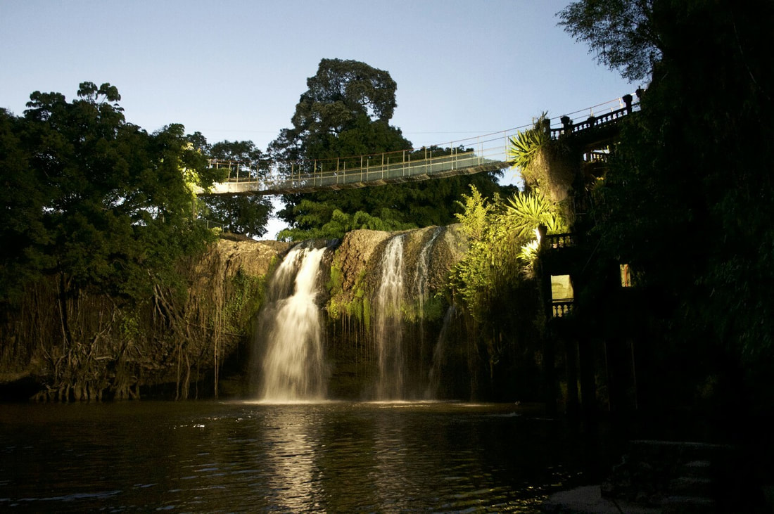
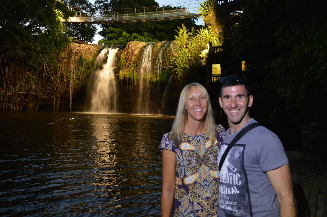
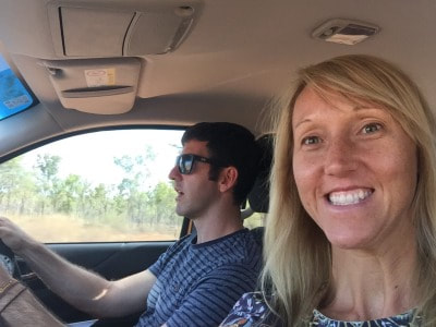
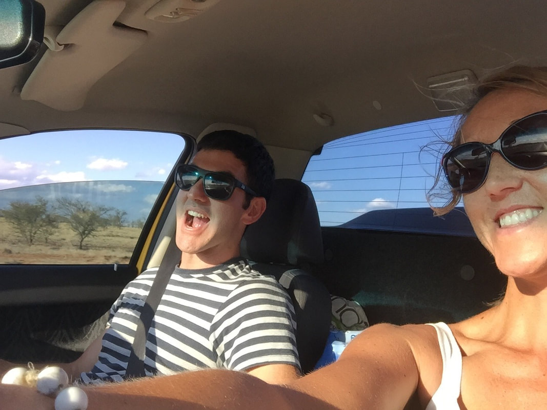
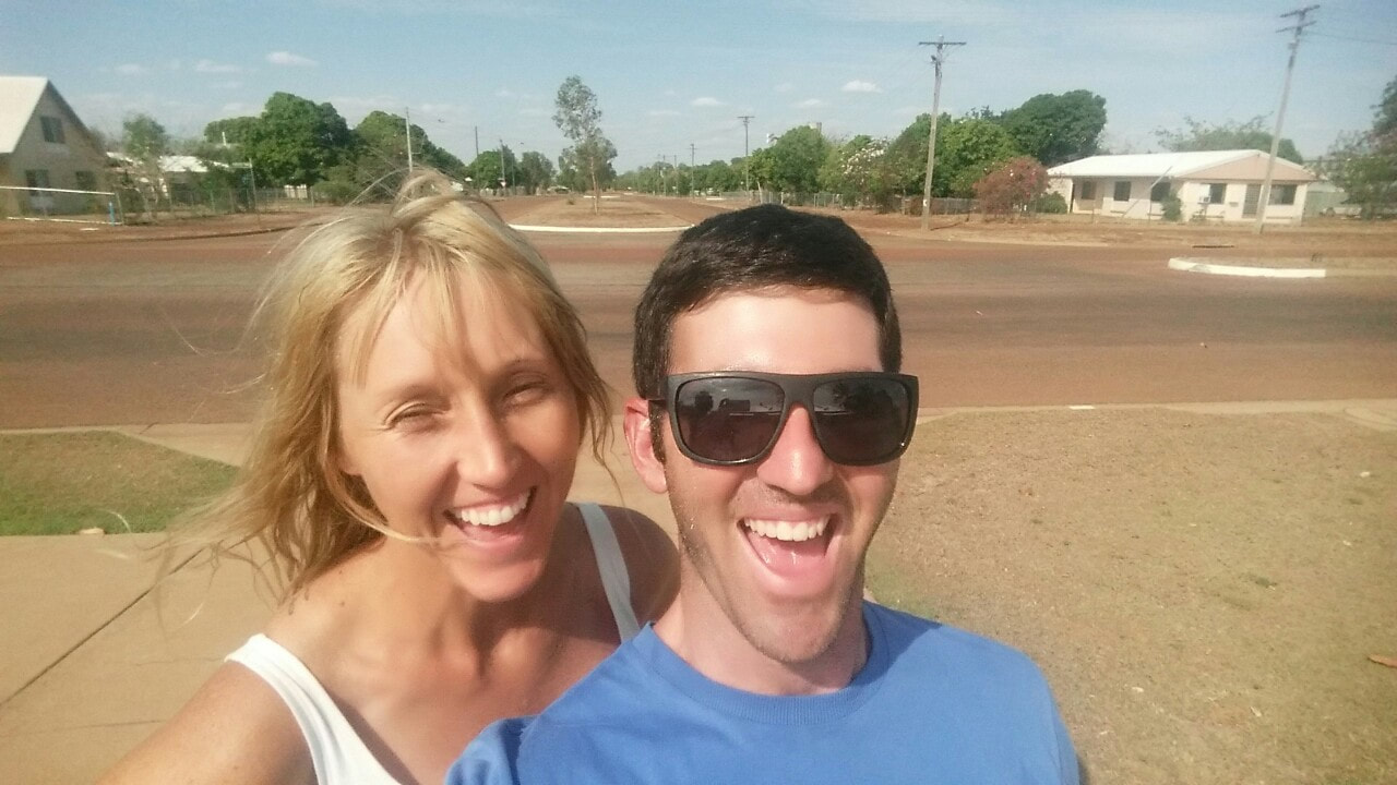
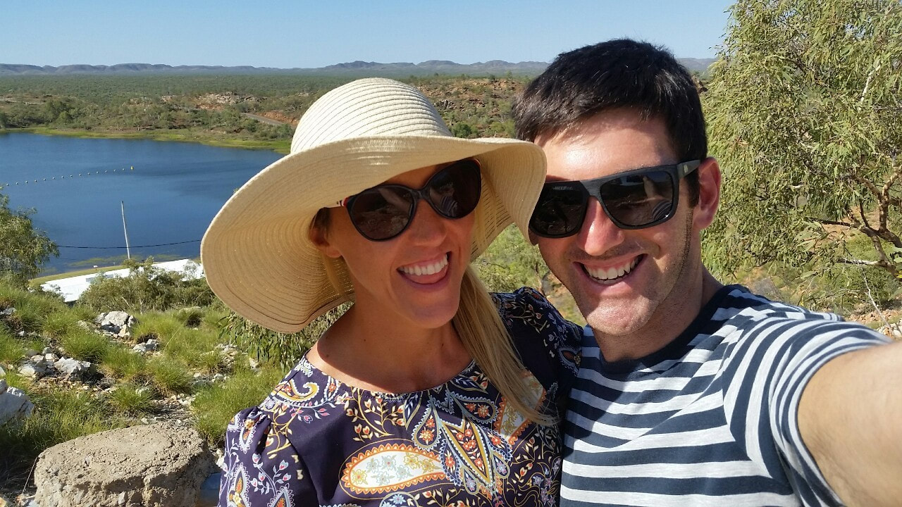
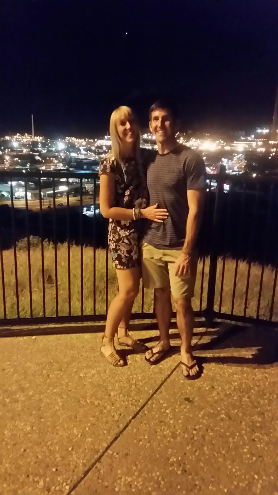
We love heading out on adventures together - the vast Australian landscape has so much to offer and there is plenty to explore. We can’t wait to see it all 🚘
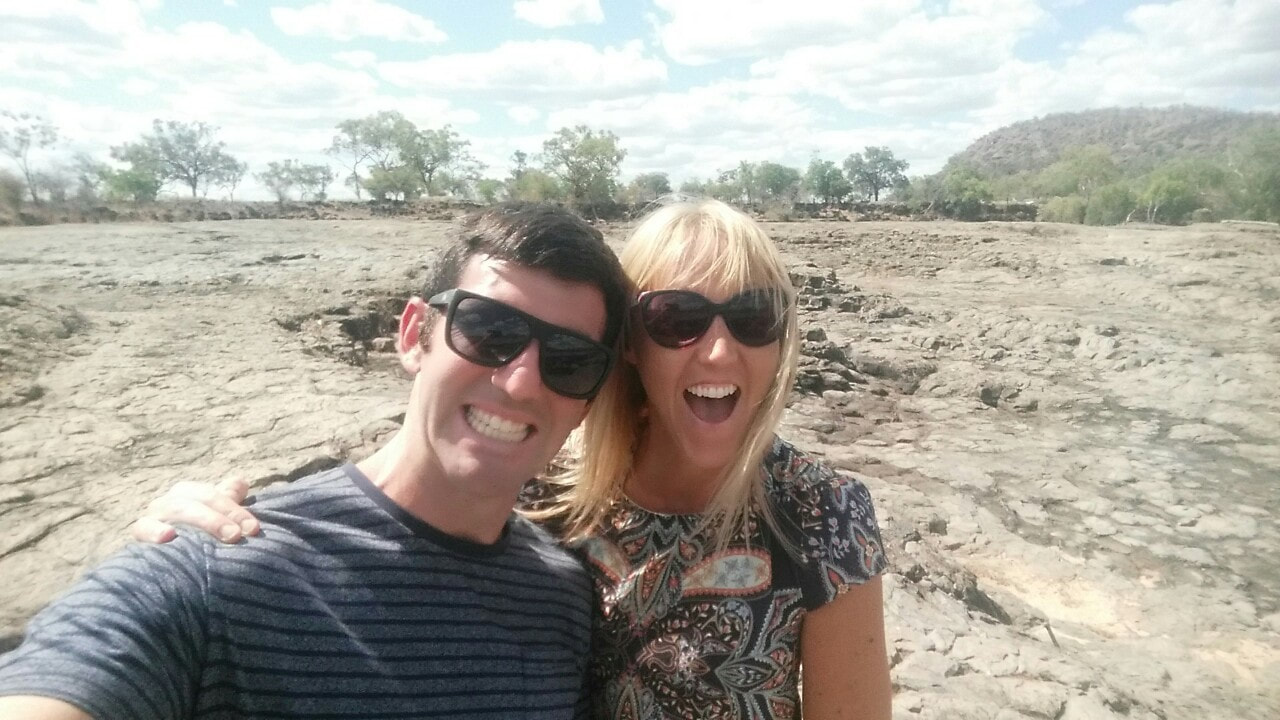
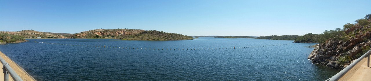
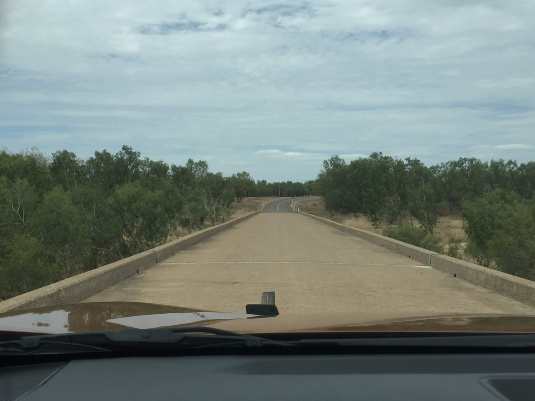
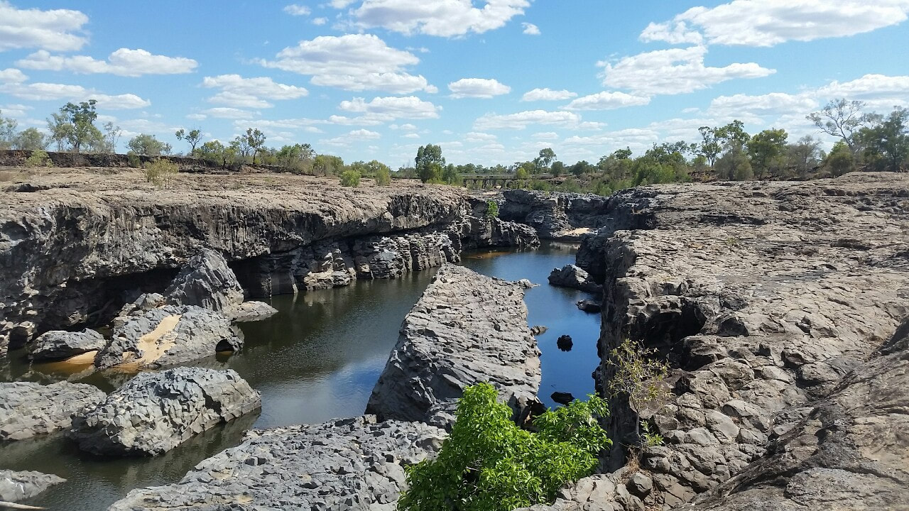
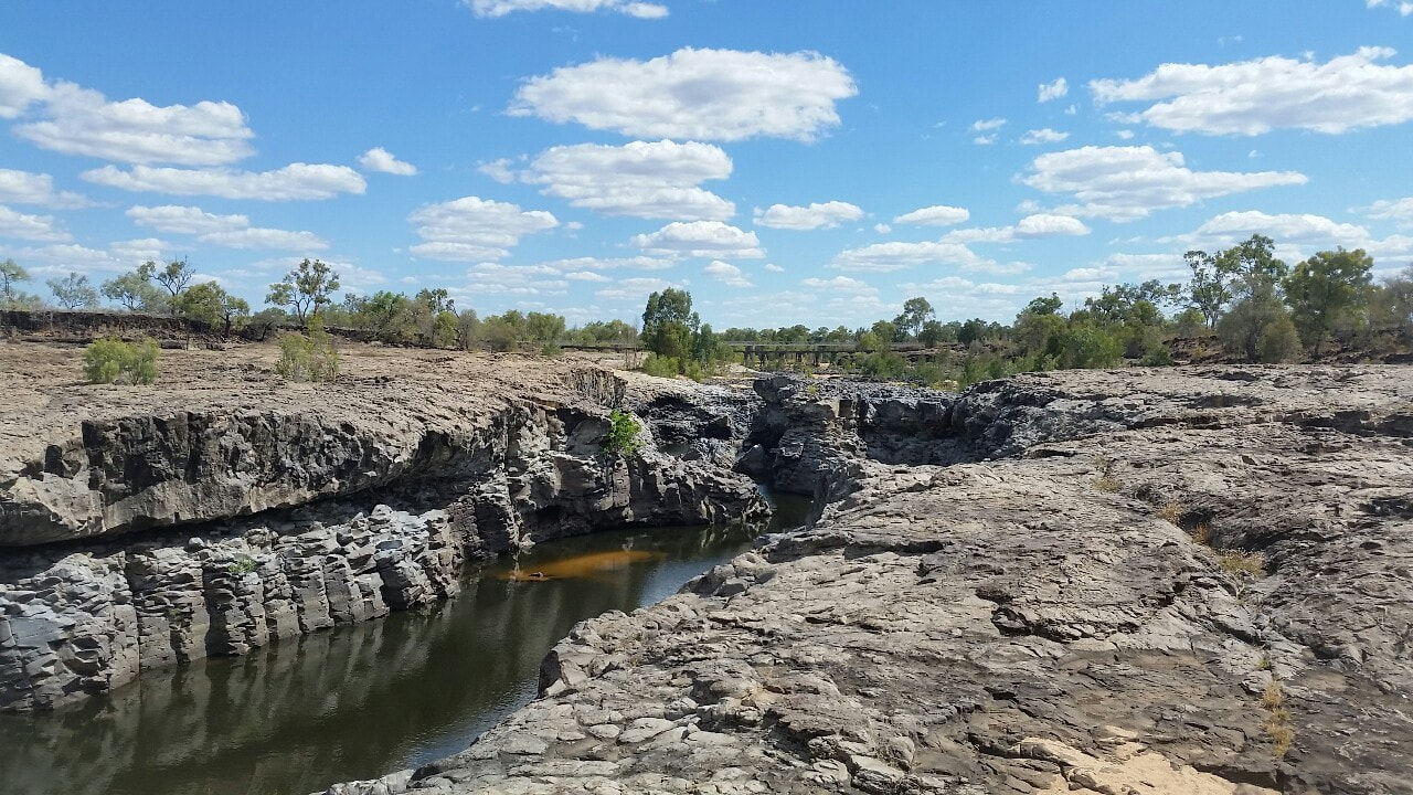
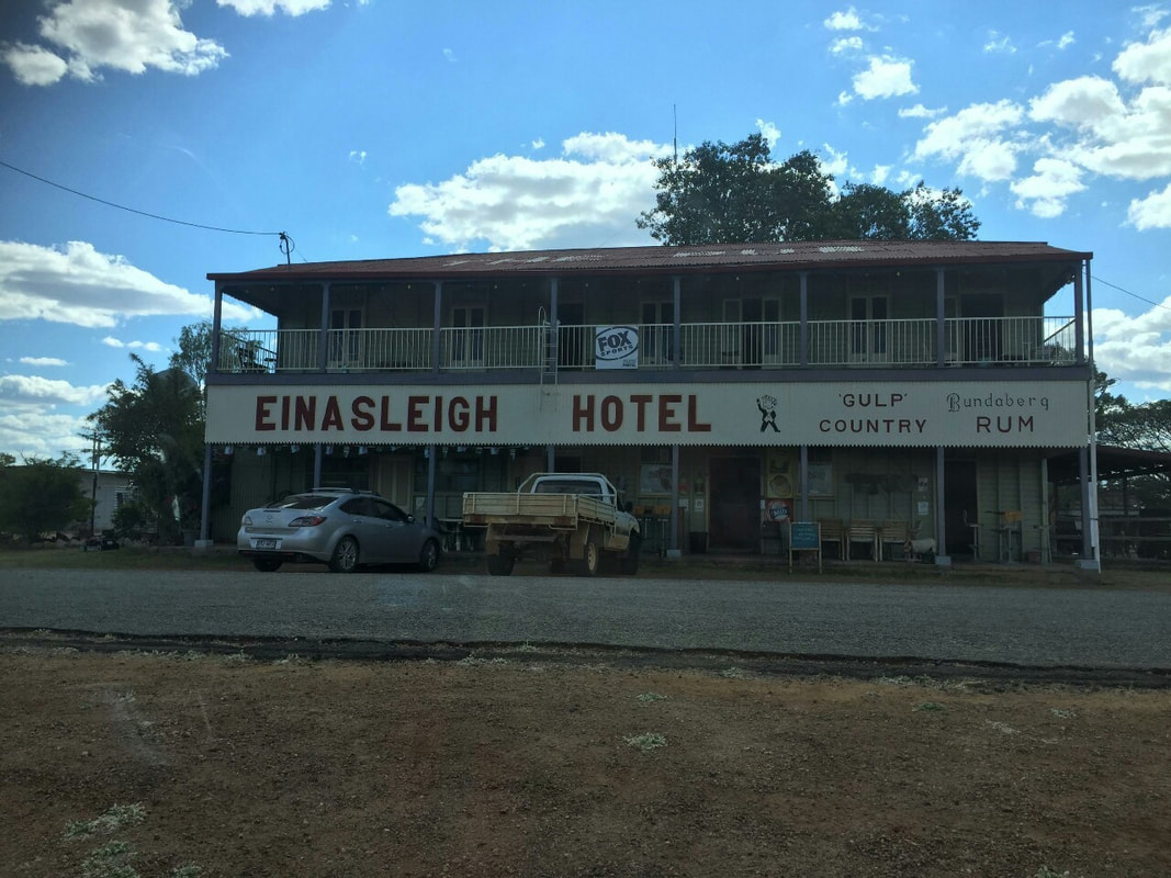
Croydon to Bedrock (Mt Surprise) was only a short trip so we thought we should take a dirt detour to have a look at Copperfield Gorge. It's about 50 kilometres off the Savannah Way and sits along the Einasleigh River. Copperfield Gorge is a great example of some of the lava flow that happened through the country over 190,000 years ago. Along side the Gorge is Einasleigh pub and a spectacular bridge that the Savannahlander train from Cairns crosses. 🚂🌋
Originally a rail line was proposed from Normanton to Cloncurry to transport the mined copper up to the Gulf, but upon the discovery of gold, with a higher market value, the proposed rail line was abandoned and built instead from Normanton to Croydon 🚂 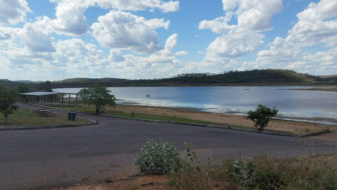 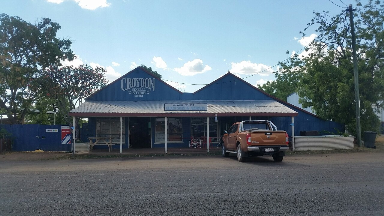 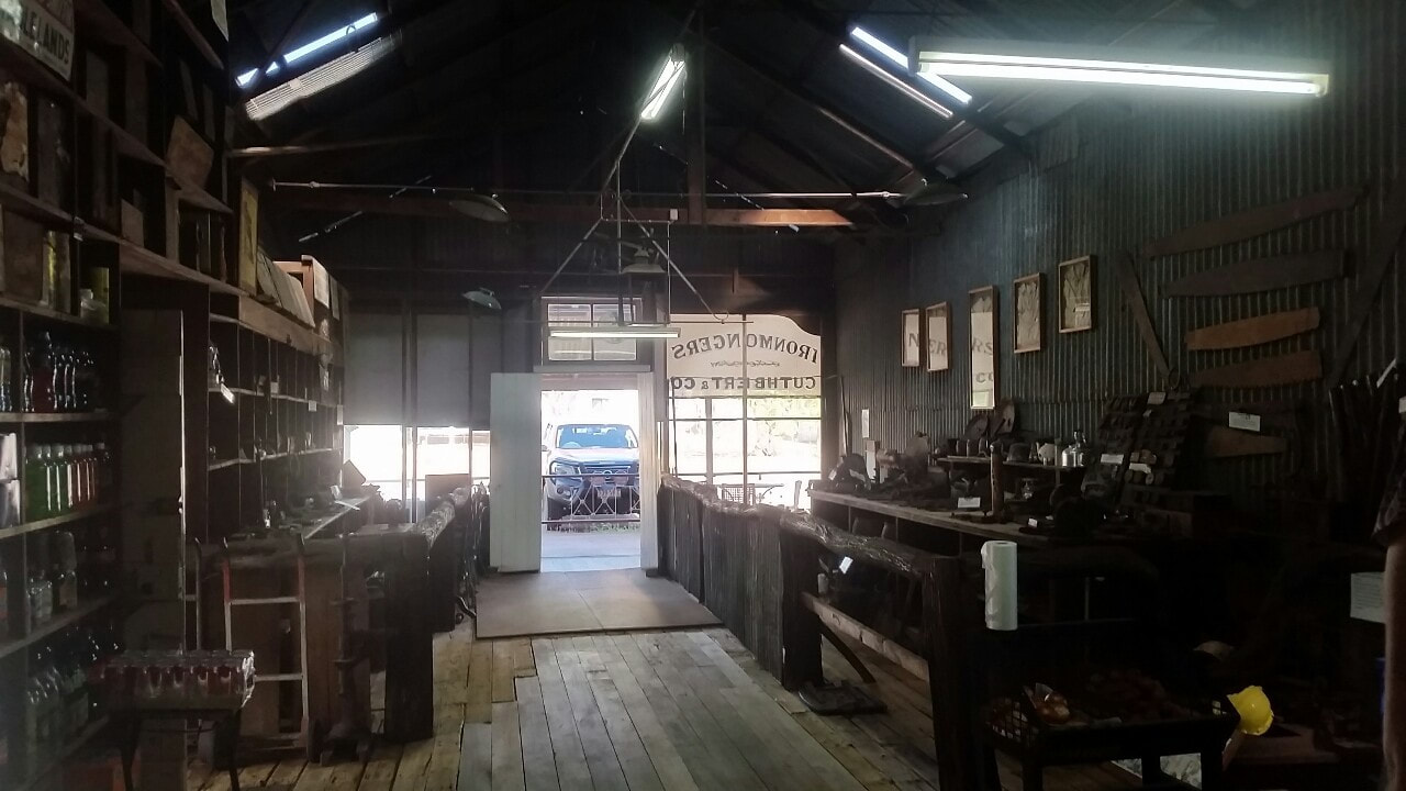
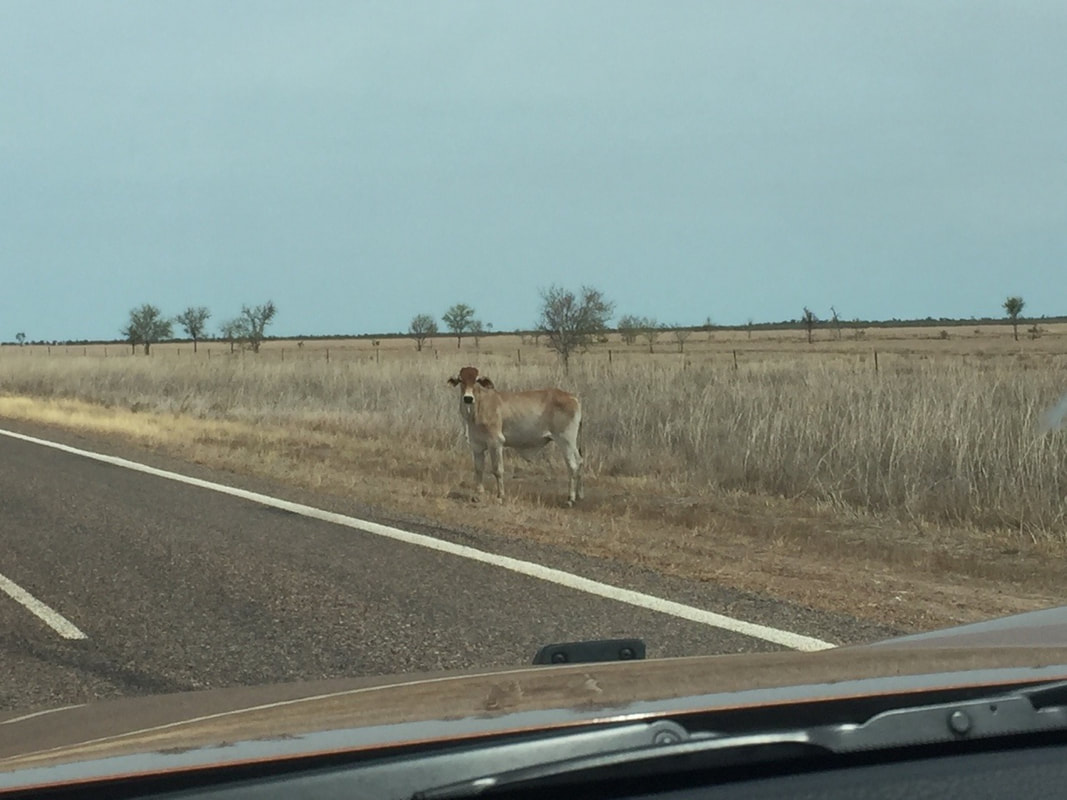
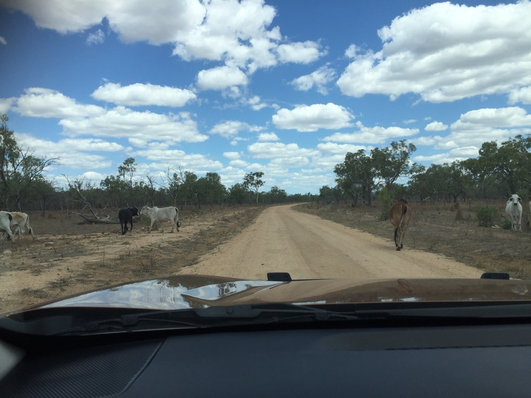
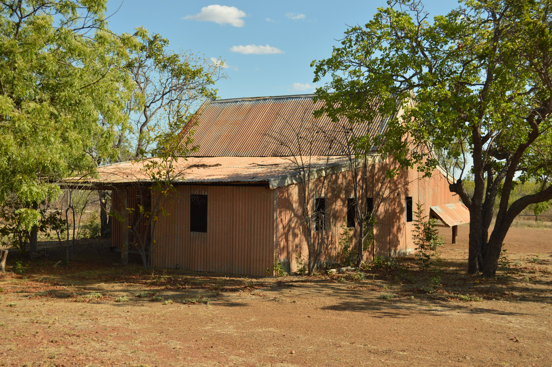
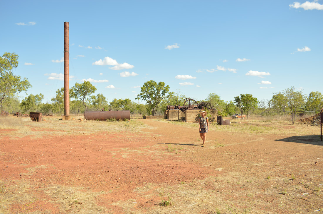
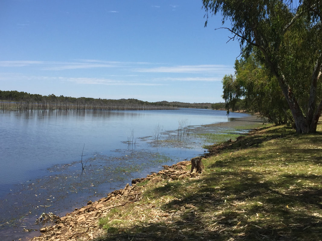
Croydon was one of the many towns that thrived well in the 1880’s gold mining boom. The town once had a population of 7000 people during that era, being the fourth largest town in Queensland. Now the town is down to the hundreds, but is still well worth a visit. It has a lovely old convenience store with antique items used through Croydon’s heyday, Lake Belmore, the Gulflander Rail line (the other end of which is at Normanton, 155 kilometres north west of Croydon) and plenty of mining history in the surrounds with discontinued equipment and mine sites. We encountered a massive bull, with big horns that looked fierce, but later found out that it was friendly. 🐂🐃🐮 We loved this area as it felt like a ghost town post tourist season, the locals were friendly and there's loads of history to experience.
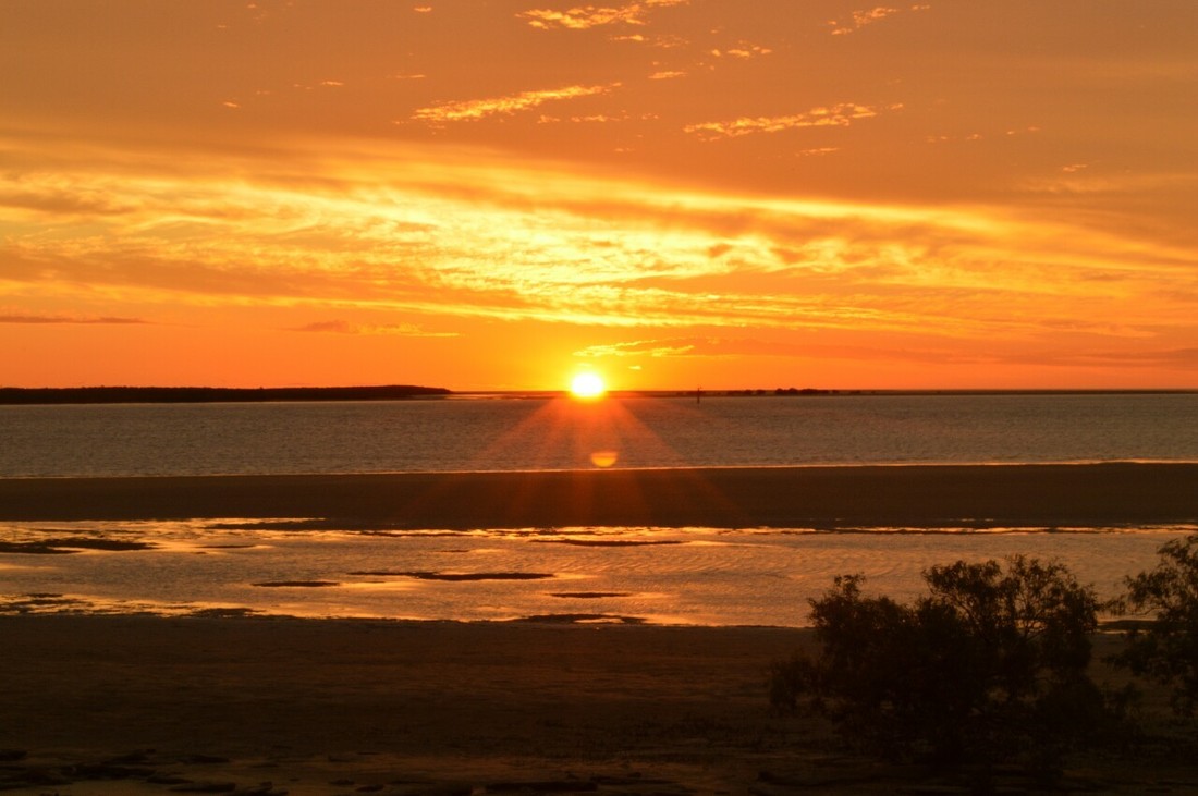
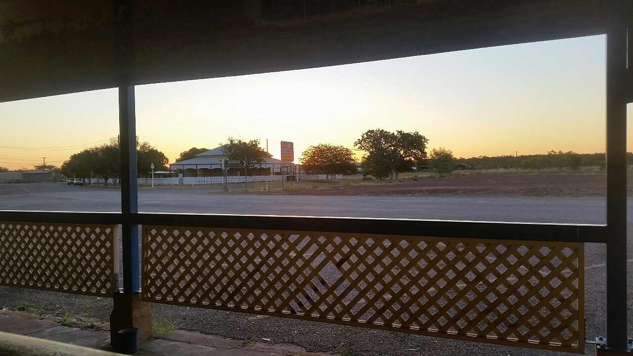
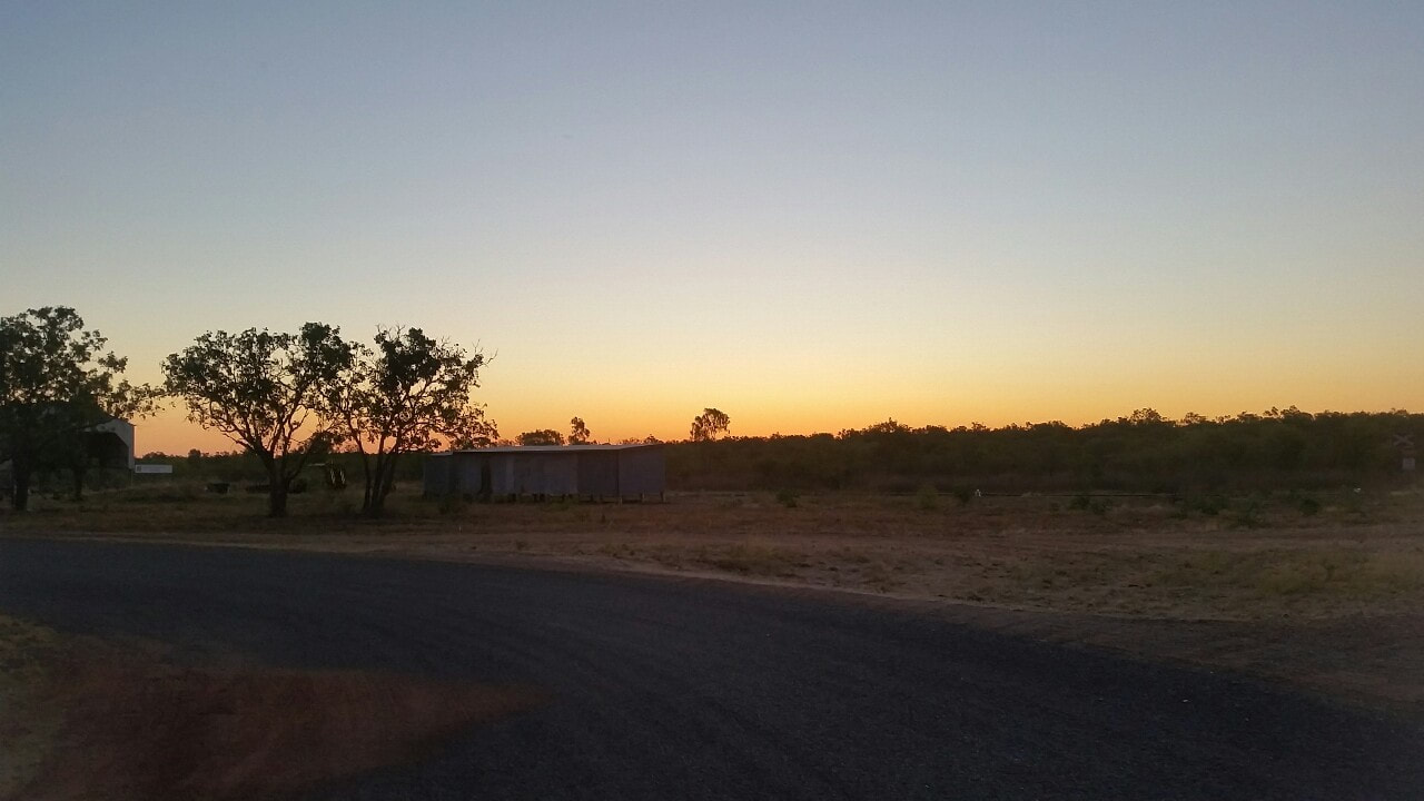
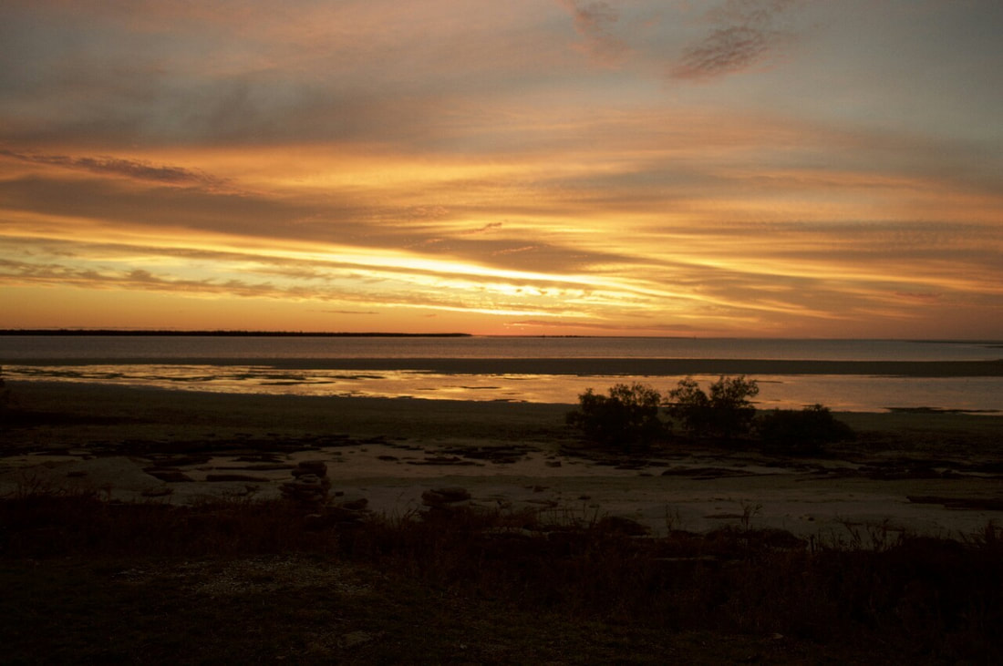
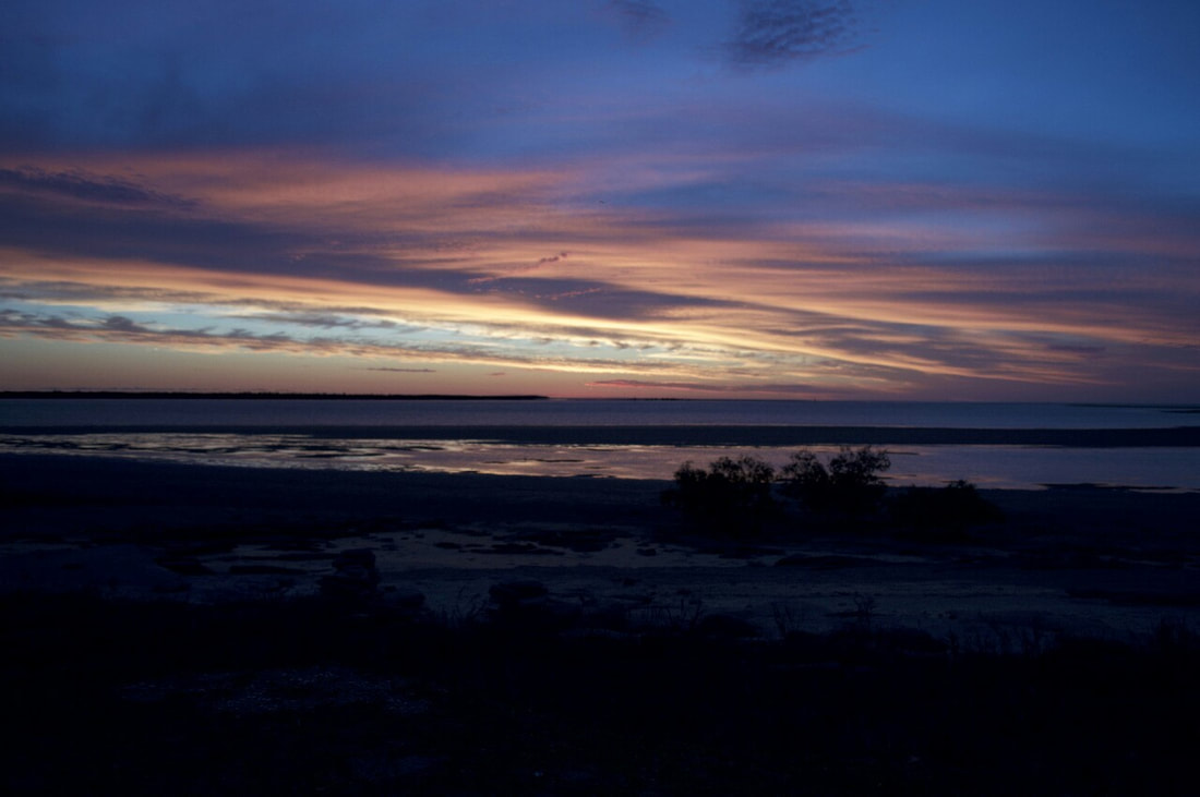
About 70 kilometres drive north of Normanton, this town sits on the mouth of the Norman River, which was named by William Landsborough whilst searching for Burke and Wills in the early 1860s after W.H. Norman, captain of the The Victoria, a ship searching for Burke and Wills along the coast line. The town was originally known as the “Norman Mouth” and “Kimberly” but changed to the name Karumba in the 1880s, it was the aboriginal word to describe the area. It’s industries are fishing and servicing the Century Zinc Mine. The region boasts beautiful sunsets, plenty of fishing and the rare sights of the morning glory clouds. Unfortunately no crocodiles or morning glory clouds seen, but Shovel was recognisable by the owner of a local fish and chip shop, he’s a bit of a celebrity round these parts 😜🎬🎥
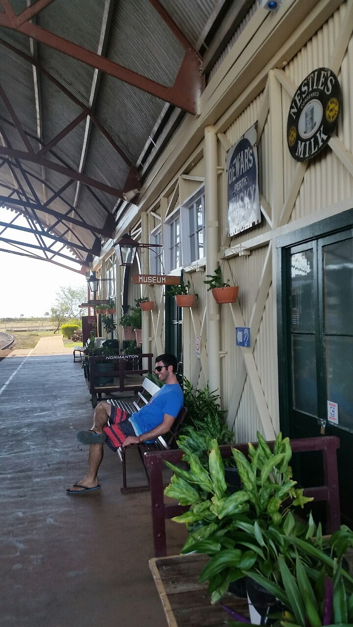
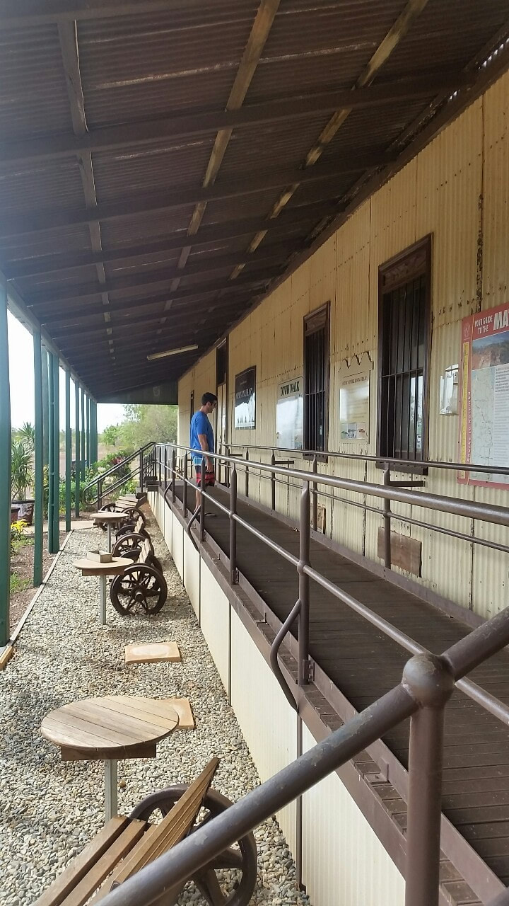
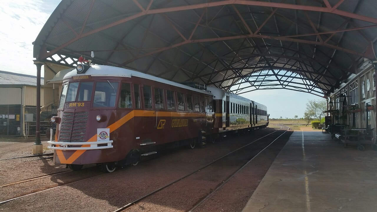
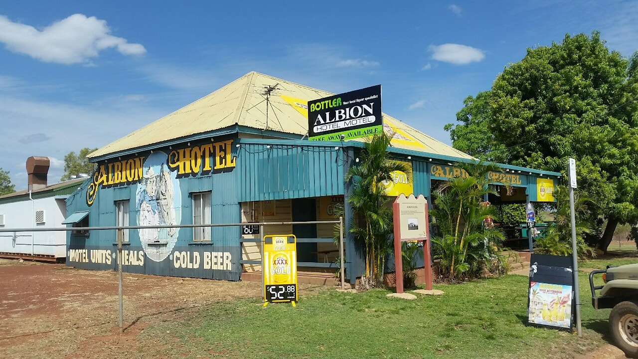
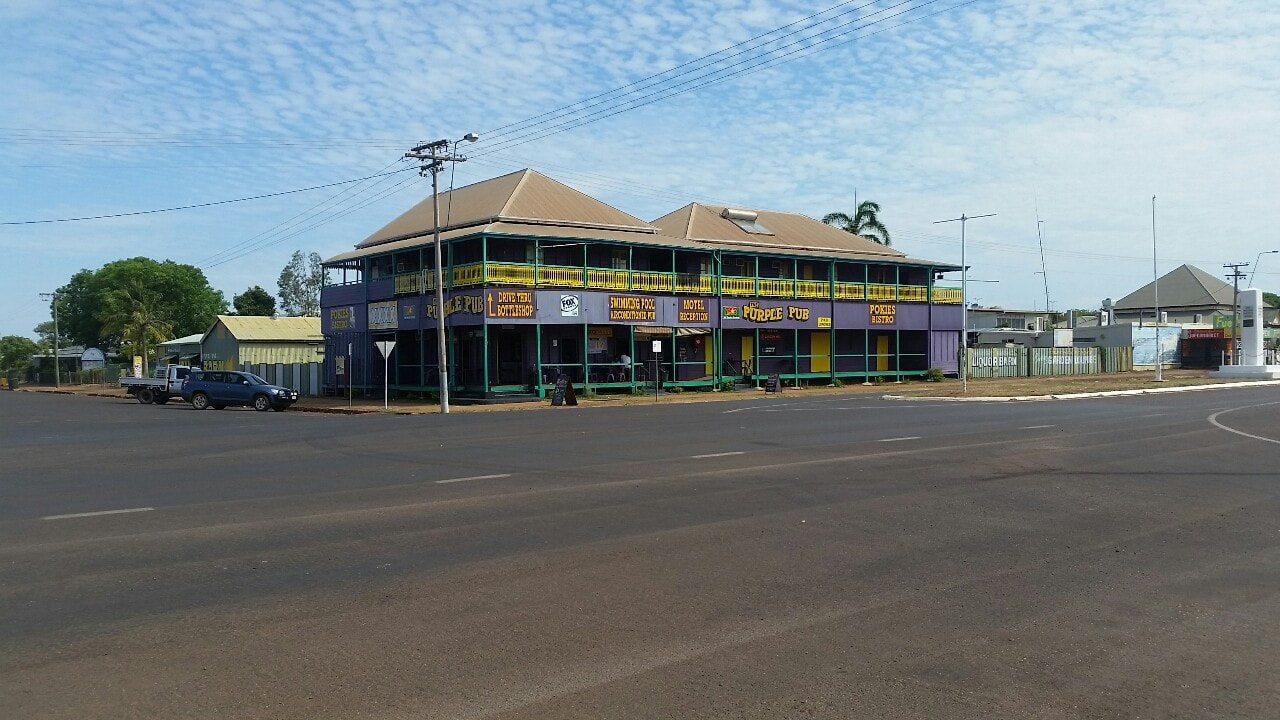
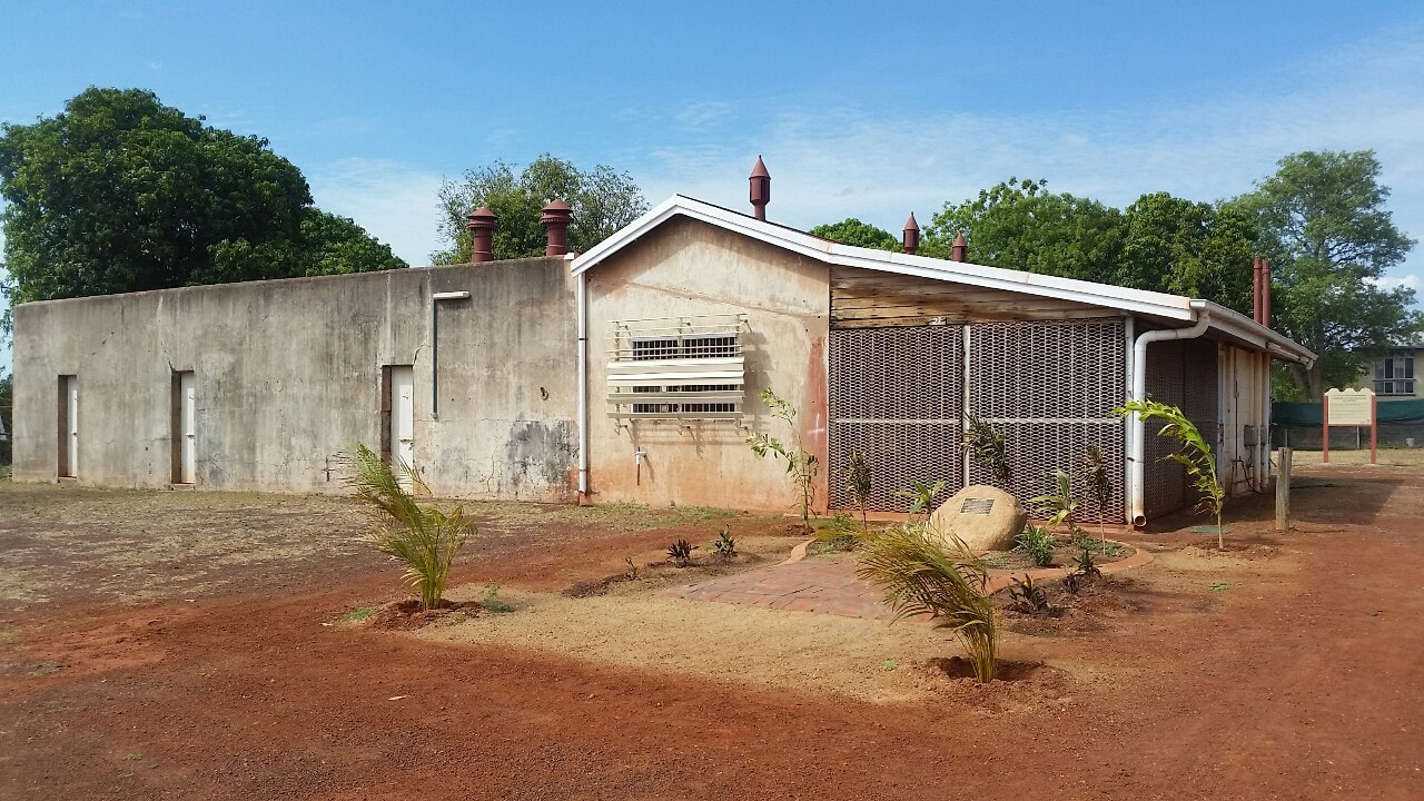
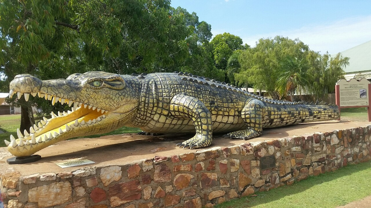
Situated about an hours drive from the Gulf coastline, it is the administrative town of the shire of Carpenteria. It is a pleasant town with some intersting buildings like the Purple Pub, the original Gaol and the restored information centre. The Albion pub serves up a great feed of fish, or the locals have a go at trying to catch their own on the Norman River fishing bridge. Other popular sights are the 8.64m long croc statue that was to replicate the record catch by well known croc farmer Krystina Pawlolska in 1957, the evidence of the catch was apparently washed away in the 1974 floods so you just have to take their word for it. The Normanton Railway station was another eye opener, with a beautifully preserved station and train built in the 1890s gold rush days to provide a rail service to Croydon, which still operates once a week 🚂
We saw a croc from the fishing bridge. It was far out into the distance, Shovel first spotted it, then a local indigenous fisherman confirmed the sighting. I could have watched it for hours. But the flies around us were horrendous, and the croc eventually slid into the water and swam away 🐊 
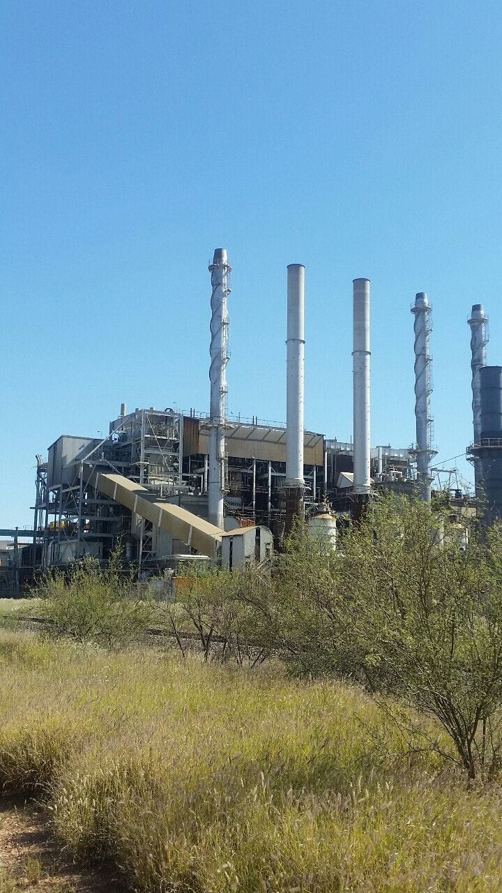
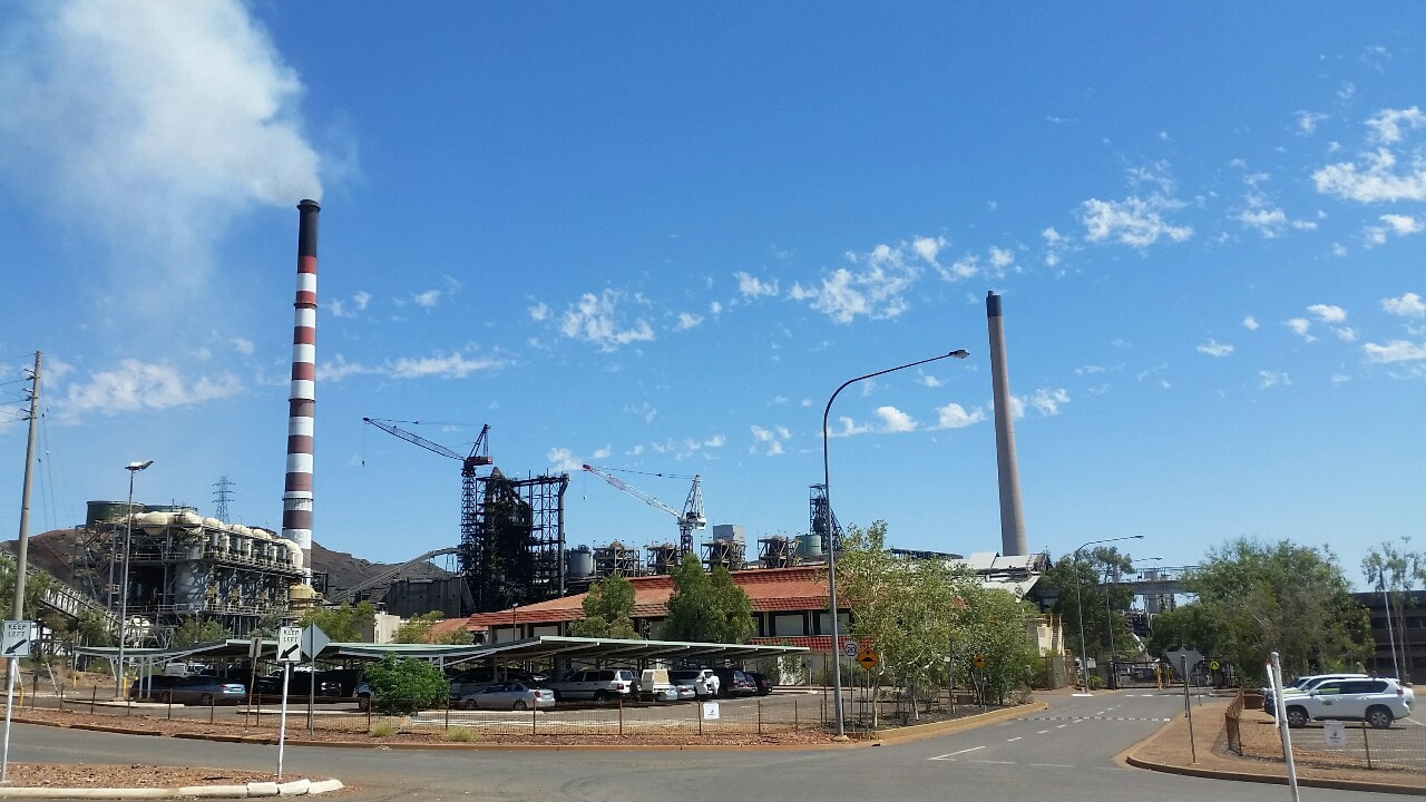
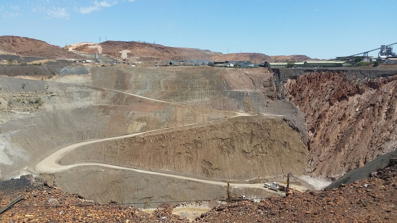
 Before John Campbell Miles stumbled upon rich deposits of copper, lead, silver and zinc in 1923, the surrounding lands were home to the Kalkadoon tribe. The tribe lived a subsistent life off the flora and fauna on the land that the white settlers described as poor grazing land with the odd mineral deposit. In 1880s the Kalkadoons set out on one of Australia’s most successful guerrilla wars to fight for their land. Their success continued on until 1884 where they attacked a fortified position, which resulted in a battle described as a 'rush of blood,' resulting in a large loss of tribe members. This weakened the state of the Kalkadoon tribe leaving them vulnerable to the white settlers. In 1923 John Campbell Miles was on an expedition towards the Northern Territory, during the journey a local aboriginal boy by the name of Kabalulumana, took him over to these large mineral deposits to check out. The rocks were yellow and black, similar to ore found at broken hill. Samples of the rock were sent away, and found to be extremely valuable, turning the land into one of the largest mining operations in the world.
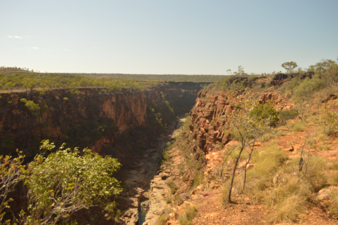
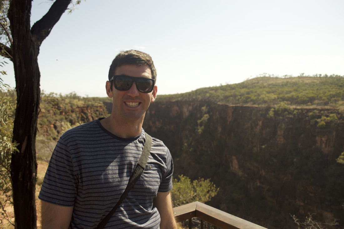
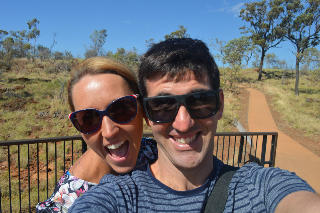
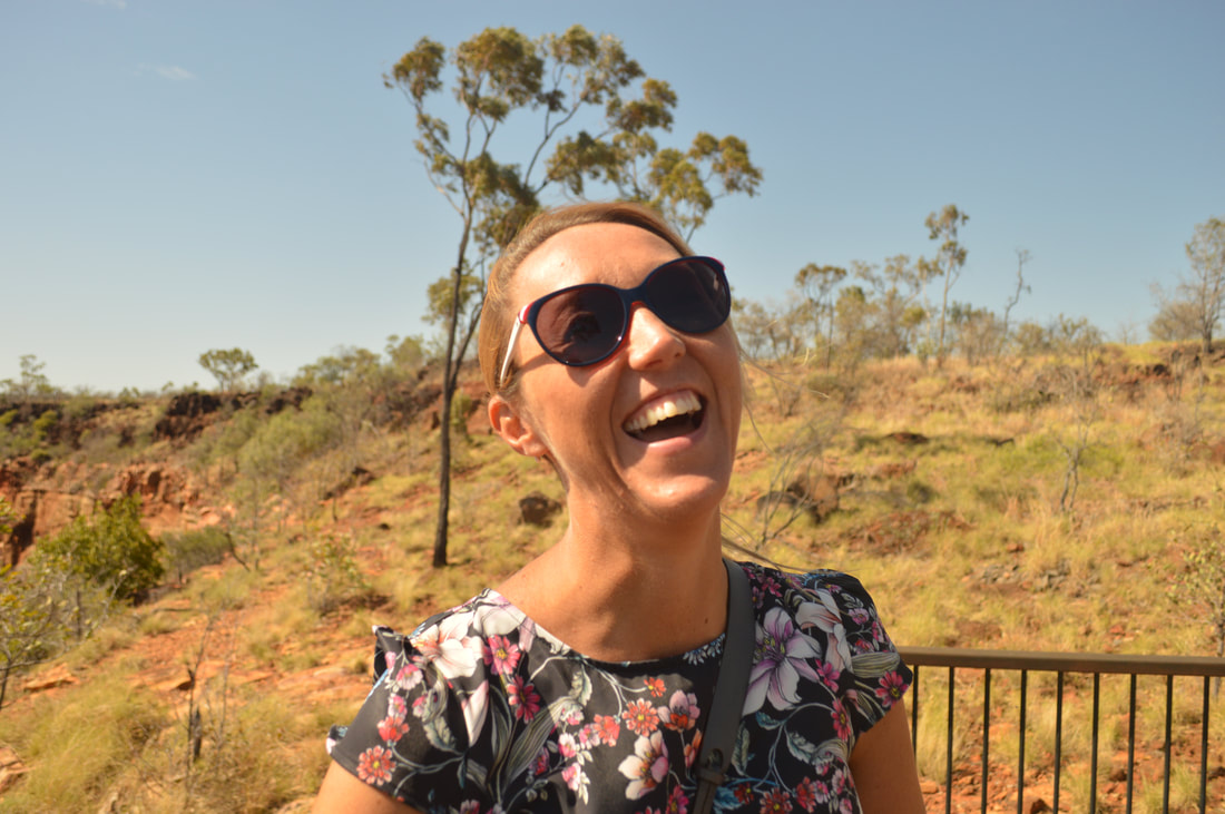
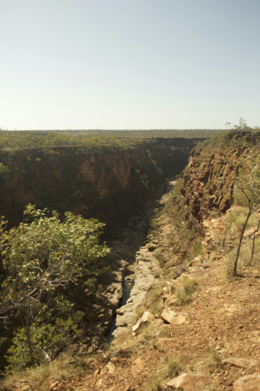 Sixty kilometres north of Hughenden is the Porcupine Gorge, which expresses millions of years of formation from volcanic activity.
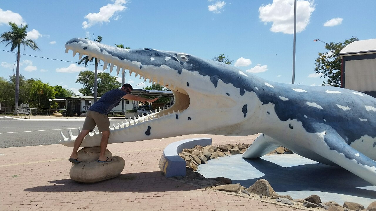
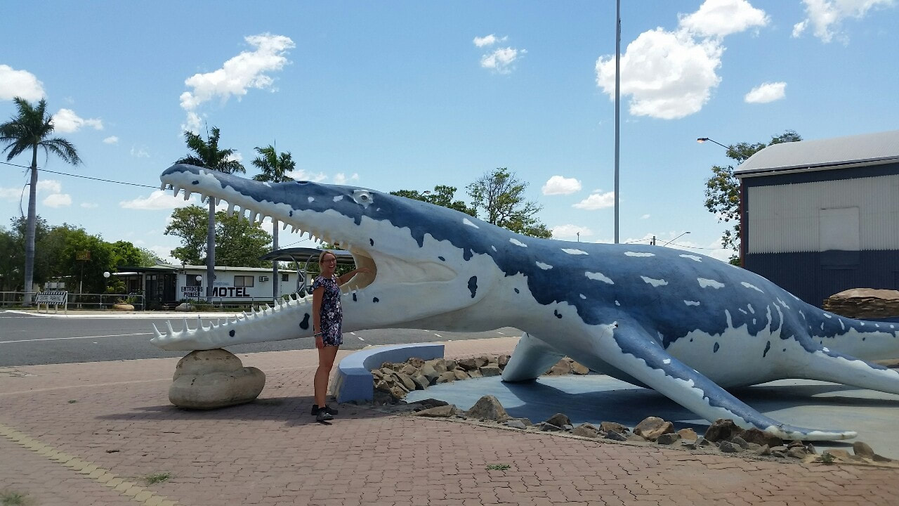
Home to the discovery of the Kronosaurus fossil and many other prehistoric marine creatures. We thought we would do the usual Richmond thing and get a photo with the Kronosaurus.
|
The JourneyChoose Curiosity The Catalogue
November 2023
The Tags
All
|


 RSS Feed
