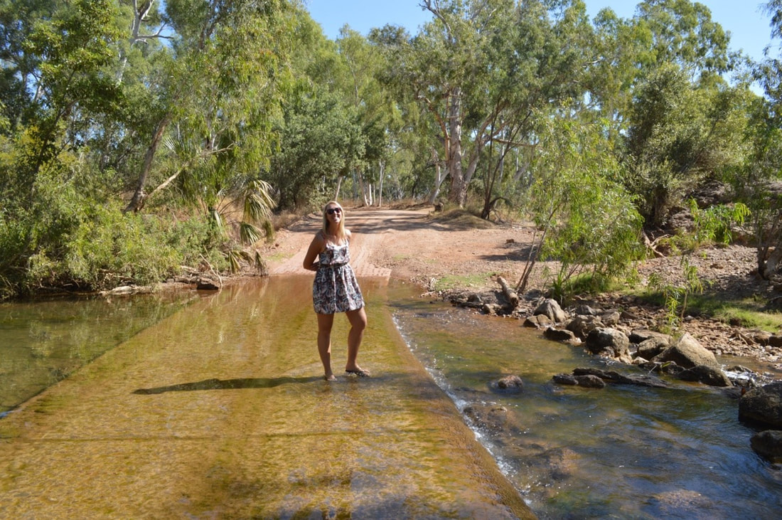
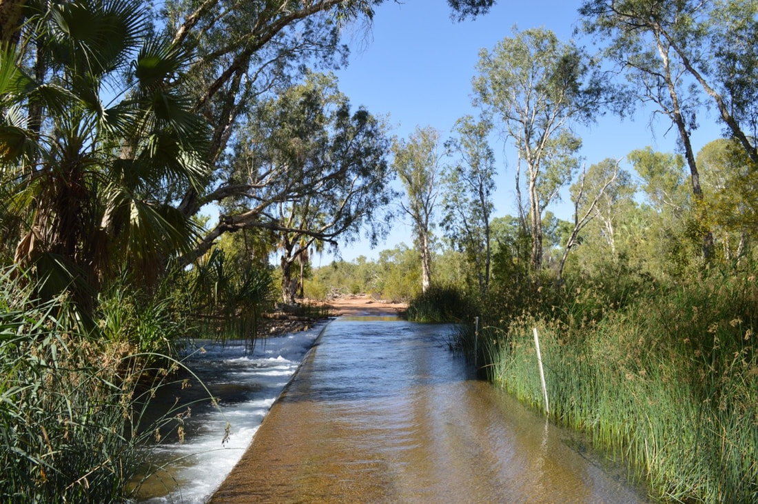
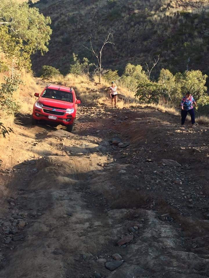
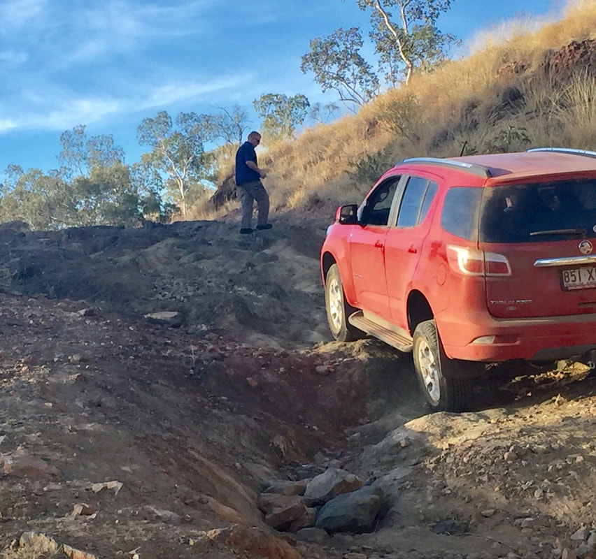
Driving to the National Park you cross the river in three places. It’s awesome, but we were slightly nervous crossing these in Cherry, then we spoke to a Grey Nomad that crossed the fast flowing water towing a large off road caravan…. they almost lost the van as it slide off the road… we had nothing to worry about…
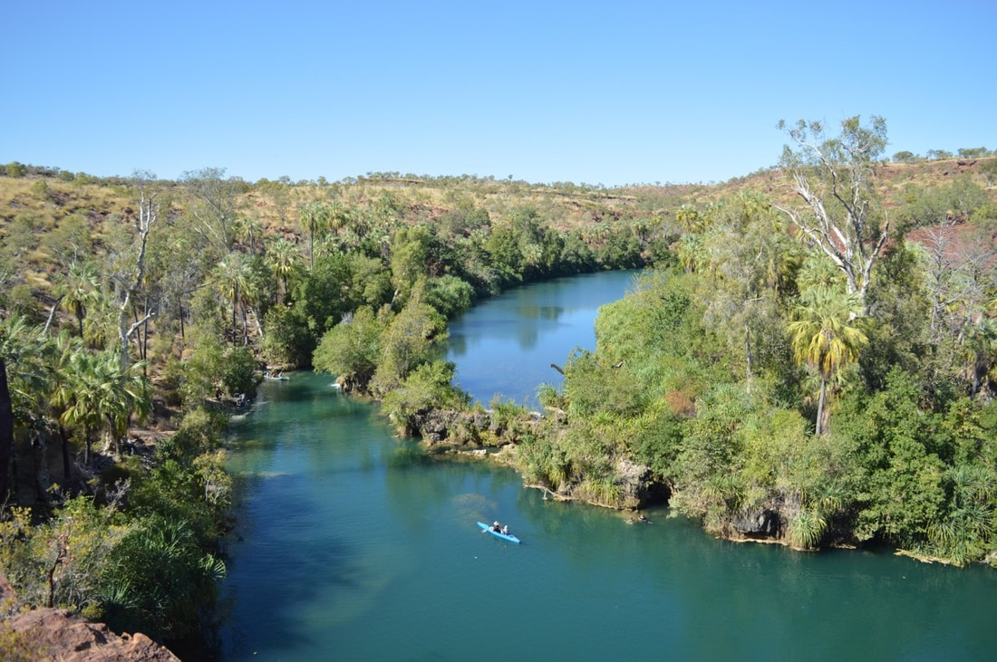
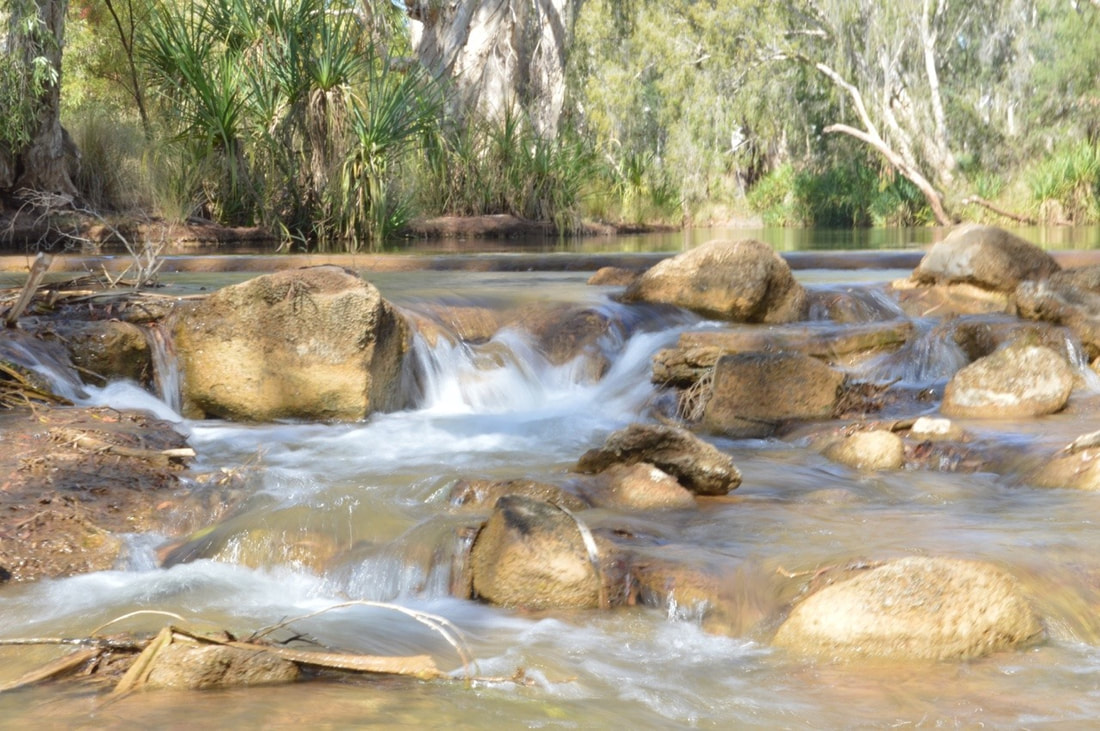
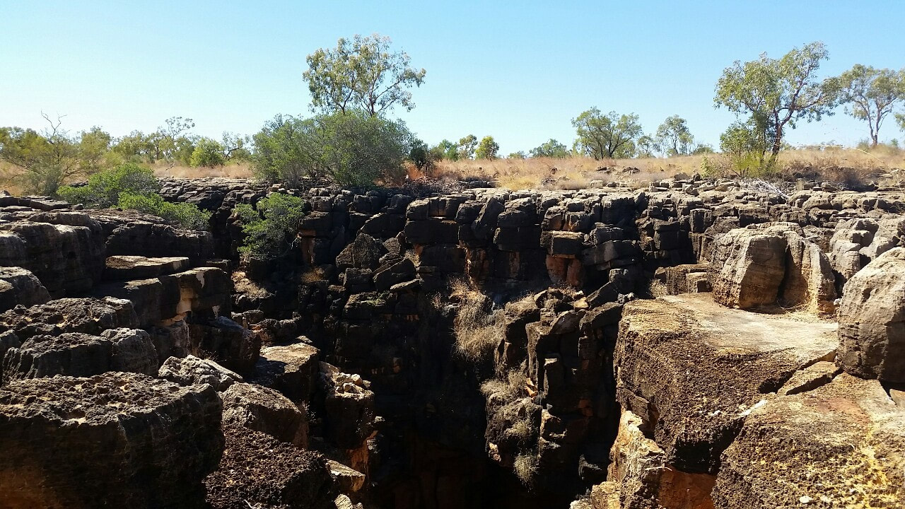
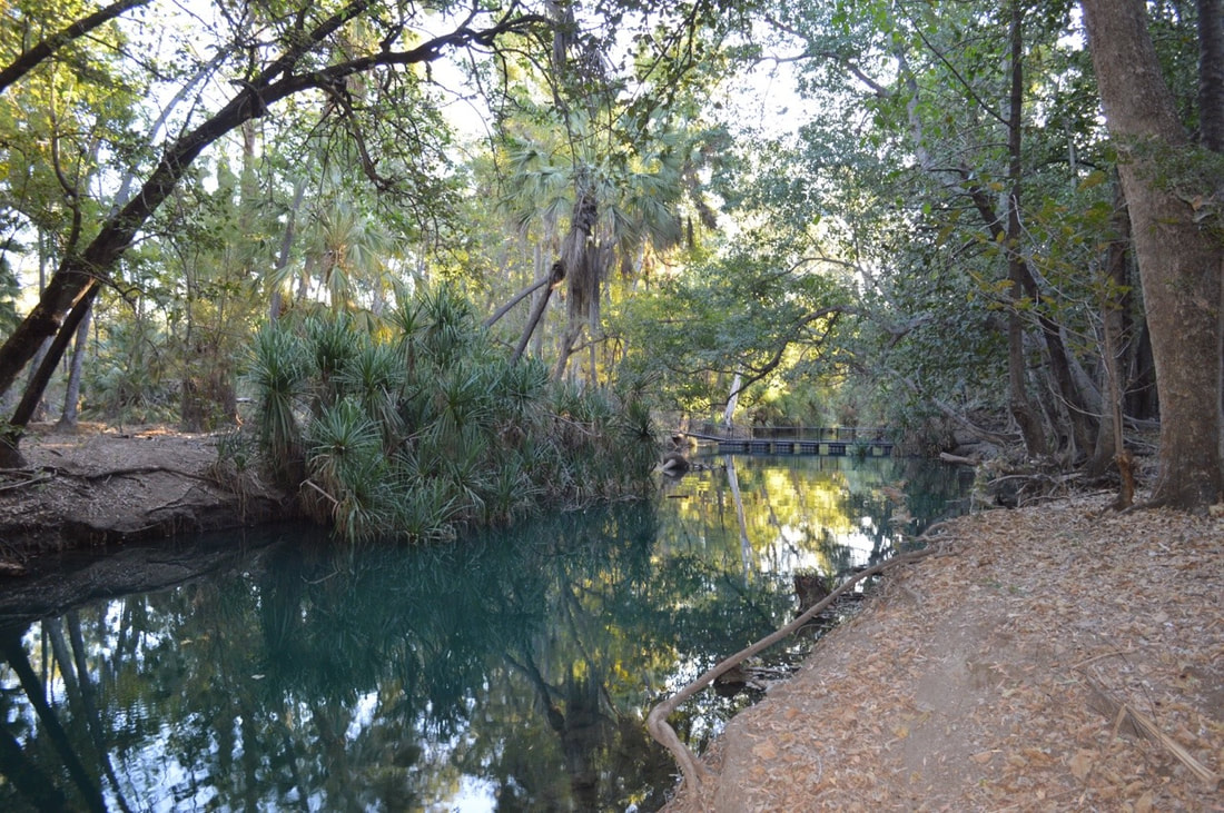
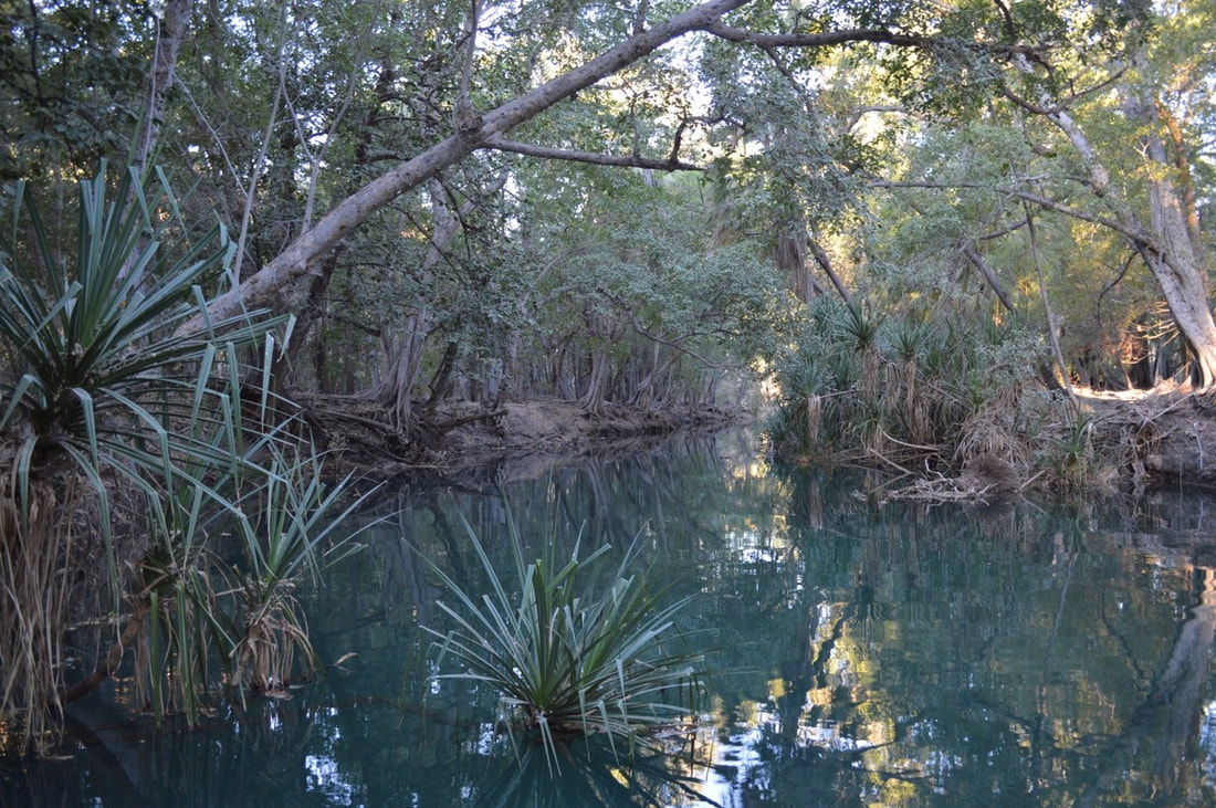
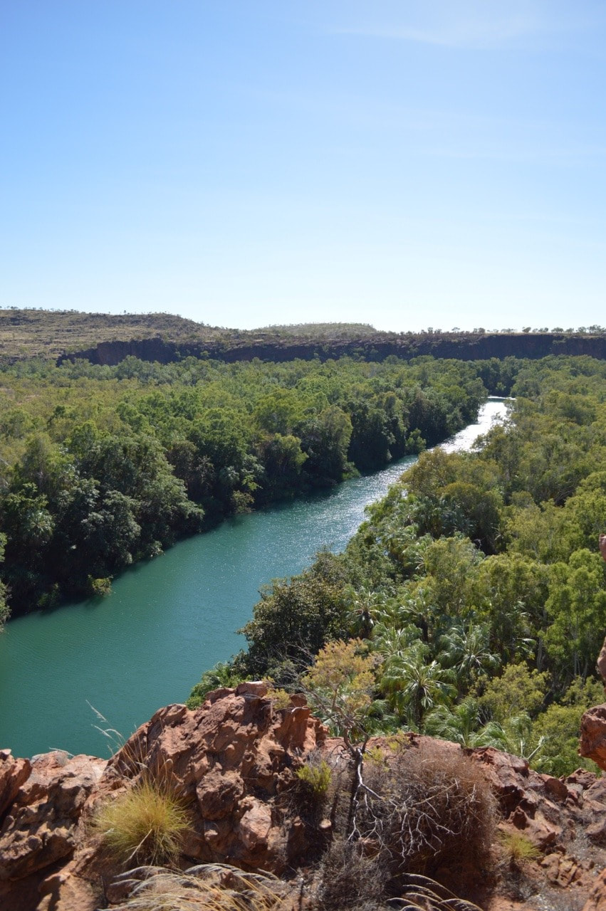
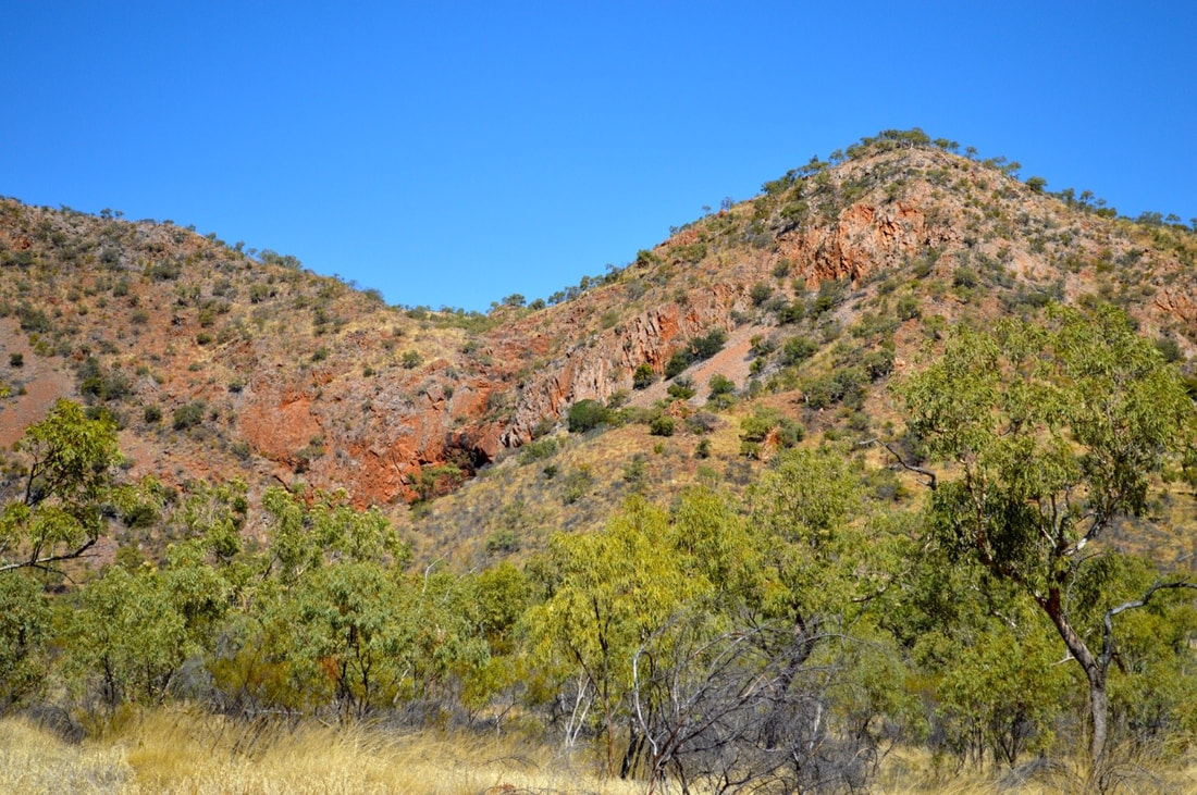
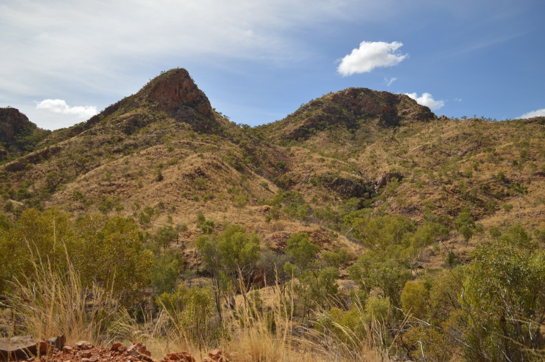
The visually stunning Lawn Hill National Park is incredibly geologically significant. Originally formed about 1560 million years ago in the Proterozoic era the gorge and range that we see today were sand and lime deposits in a shallow inland sea. Over time the water has continuously evolved the area, eroding the sandstone and limestone and depositing with it calcium carbonate or calcite to form a porous brittle rock known as tufa.
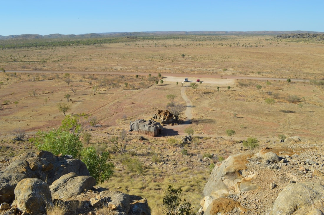
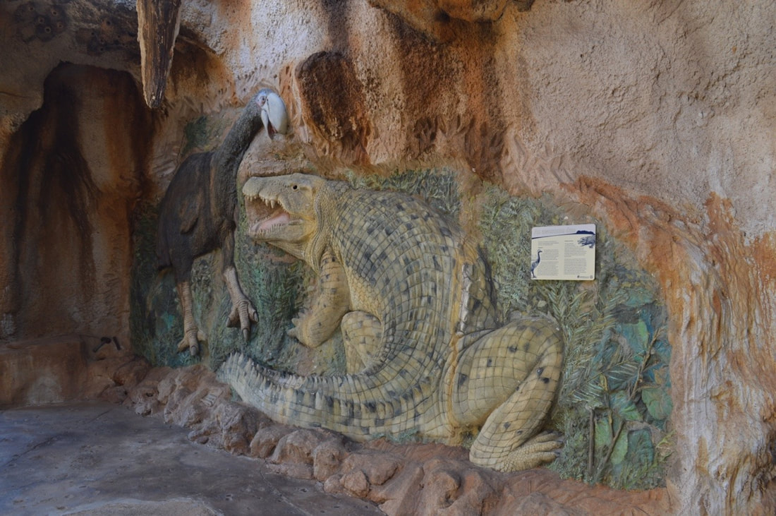
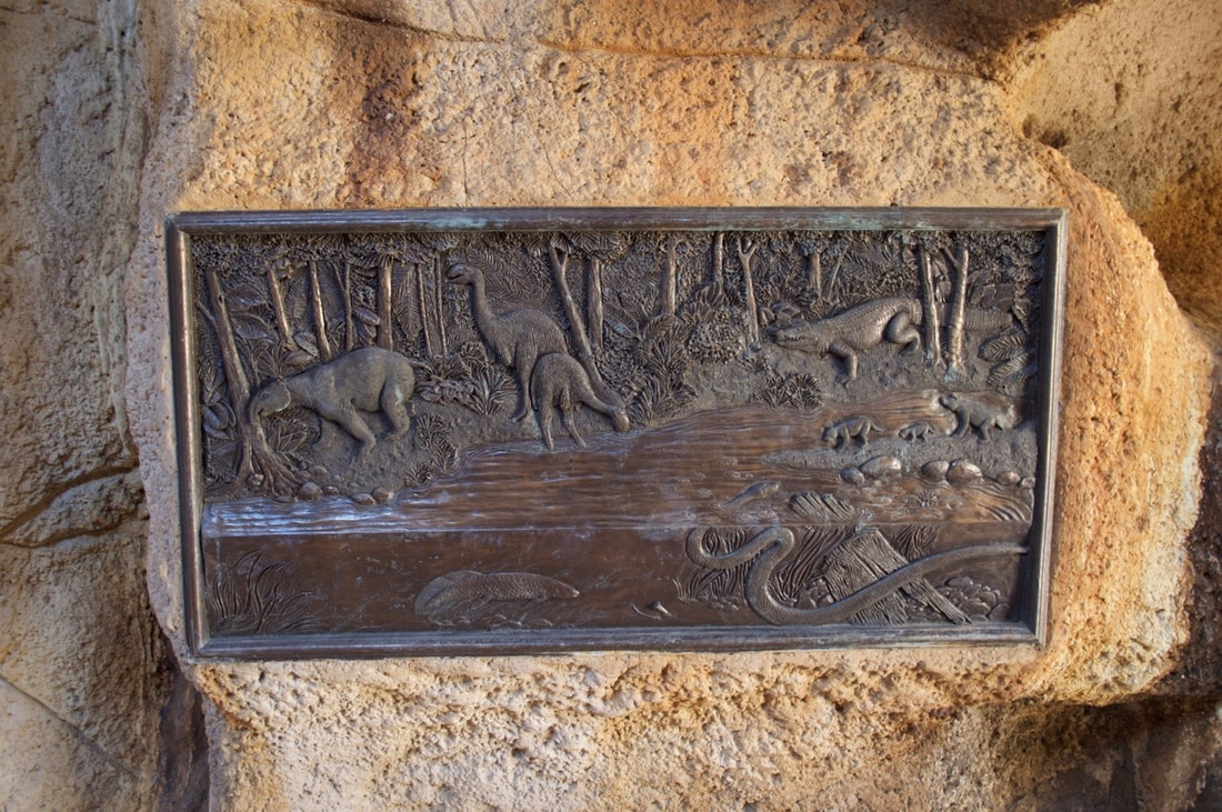
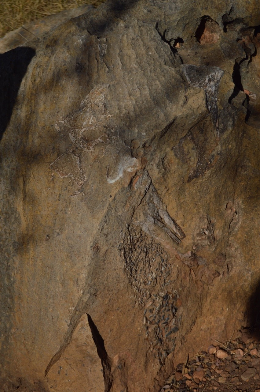
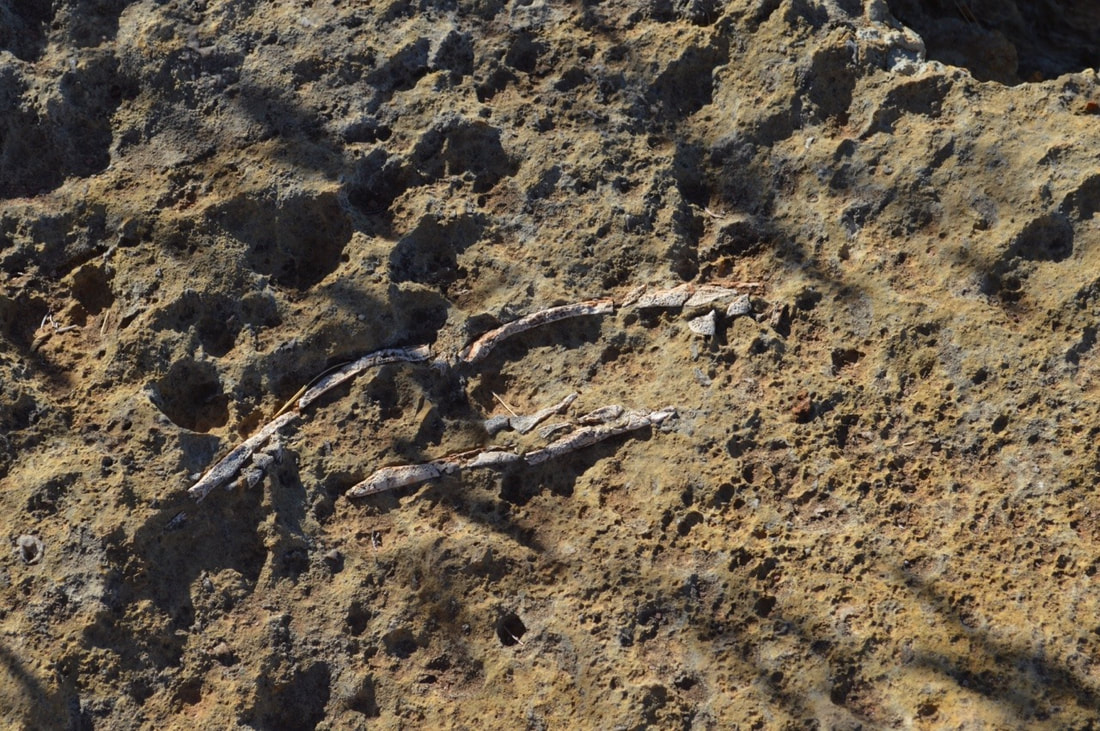
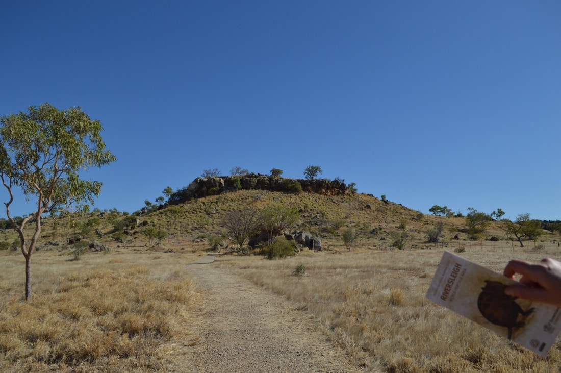 Riversleigh otherwise known as Fossil Exploration ’D’ site of this World Heritage Area is located approx. 250kms North West of Mount Isa in Outback Queensland. Riversleigh contains fossils from 33.9 to 23 million years ago and species such as Barawertornis Tedfordi a cassowary sized flightless bird, Mekosuchus Sanderi a tree-climbing crocodile and Thylacinus Diksoni commonly known as the now extinct Tasmanian Tiger have been discovered in this region that was once a lush rainforest. The ancient animal bones remain so well preserved due to the lime sediment deposits found within the water and subsequent mud. The animal or plant is encased in the mud and fossilised making Riversleigh a very important and rare site for Paleontological research. David Attenborough has even visited the site calling it one of the four most important fossil deposits in the world.
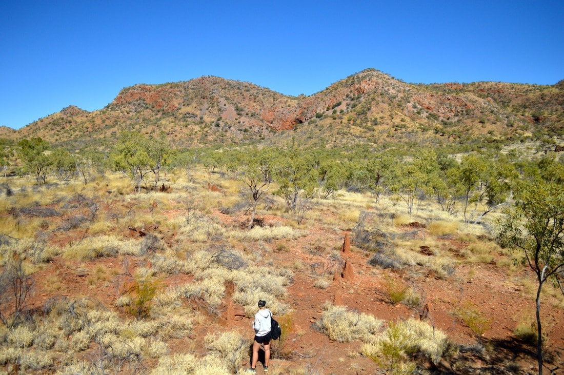
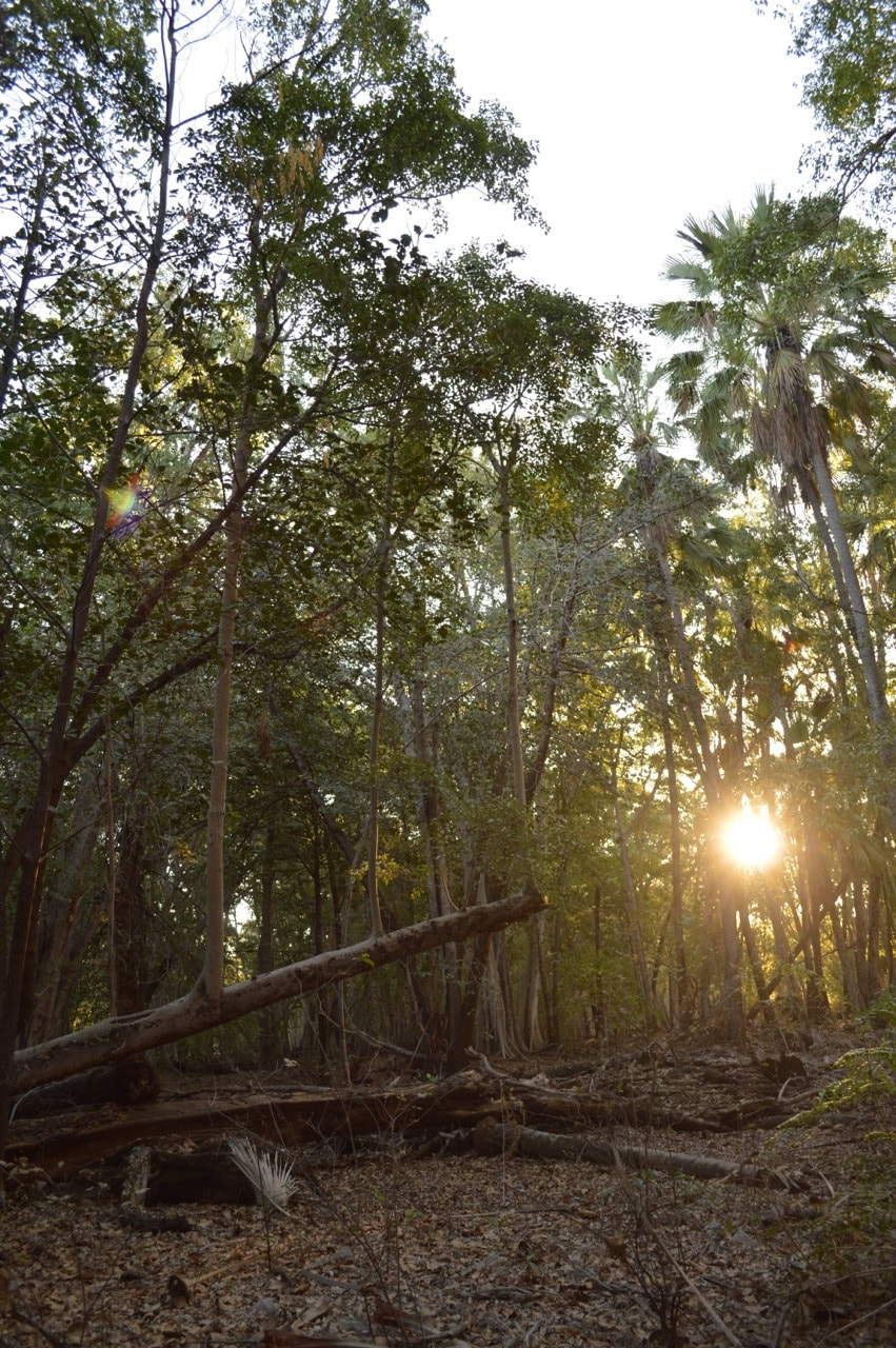
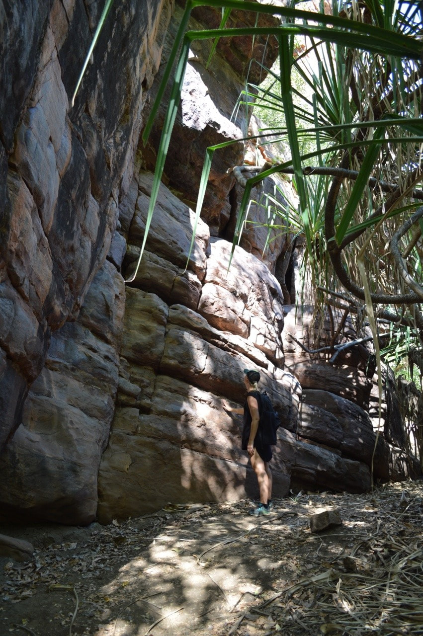
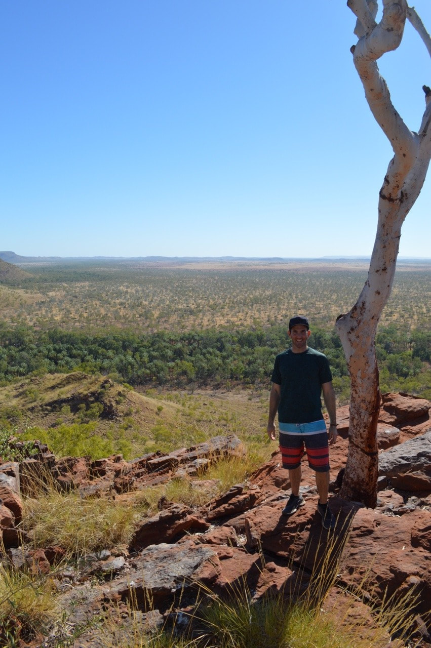
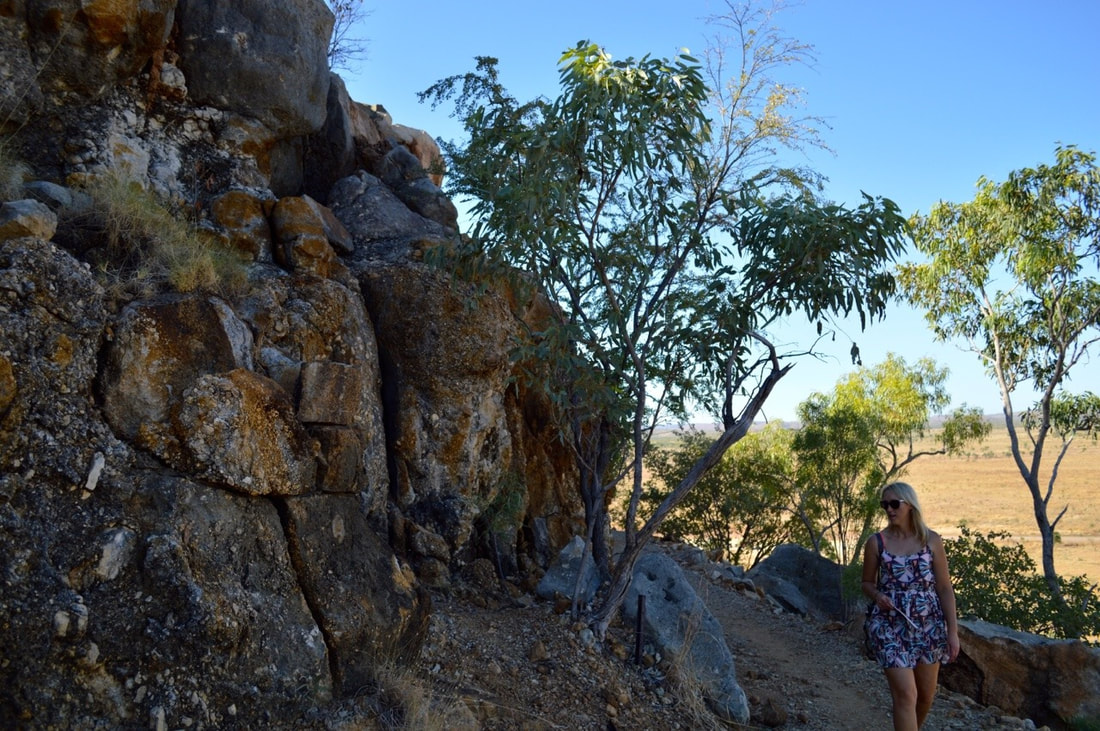
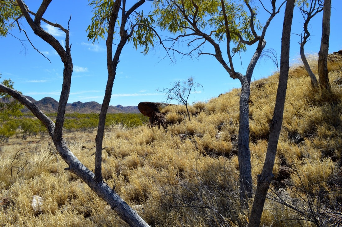
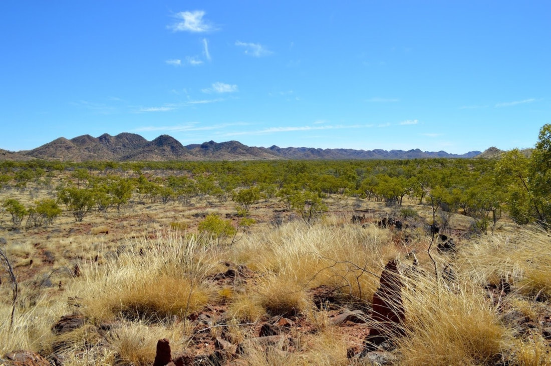
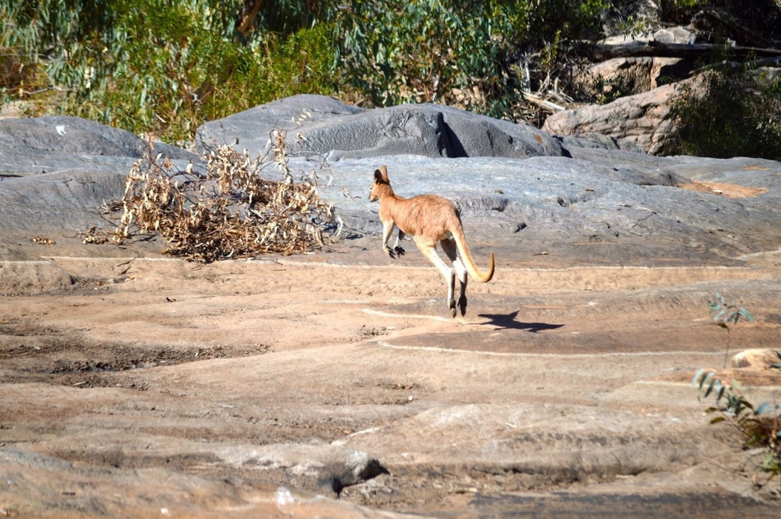
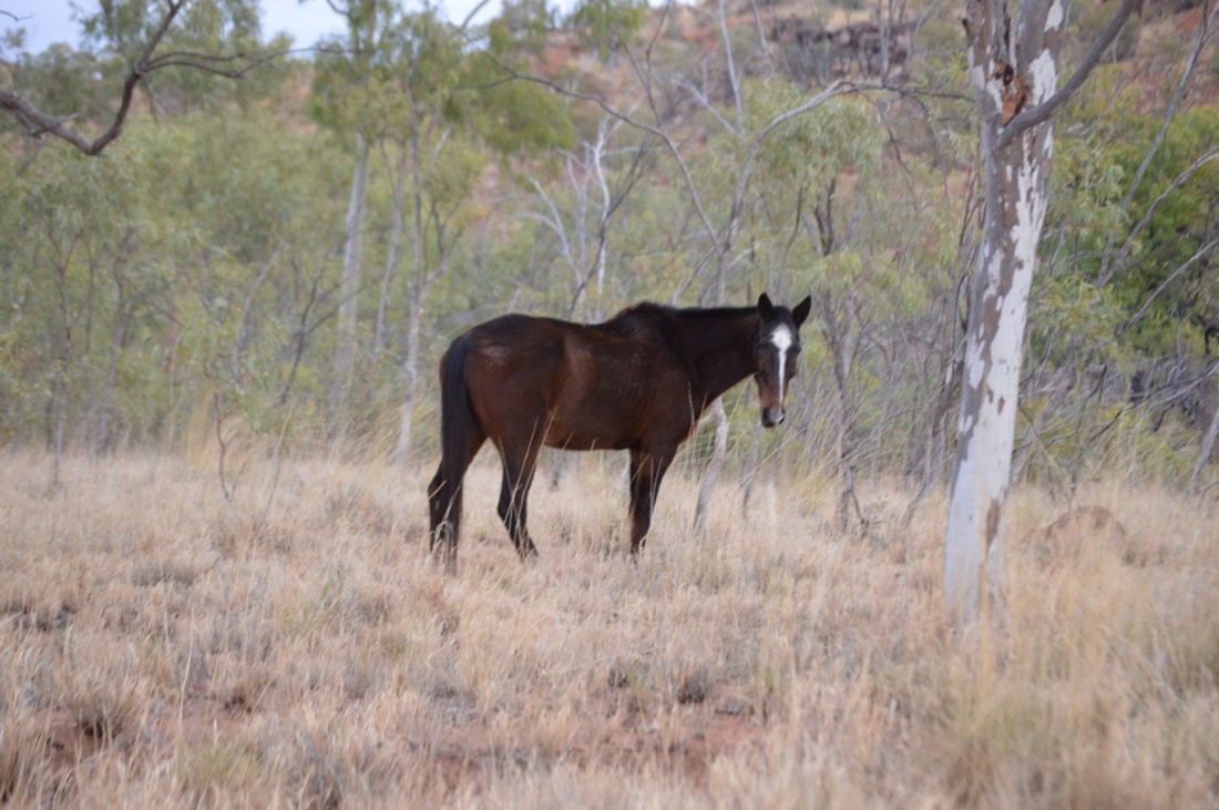
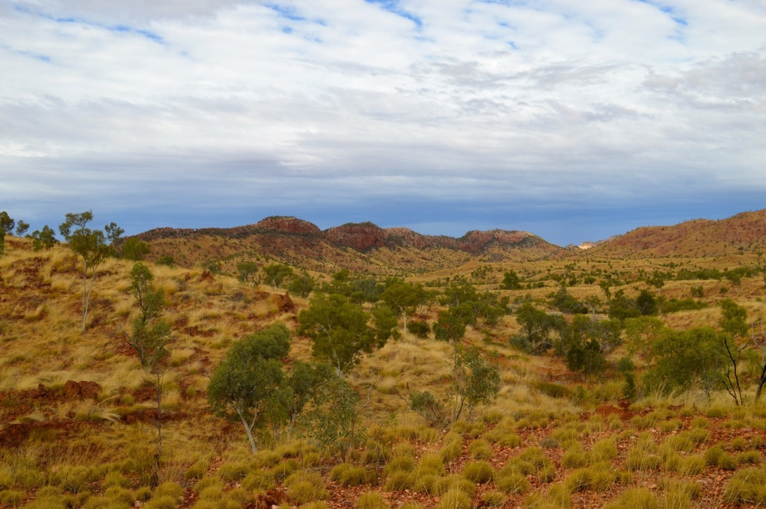
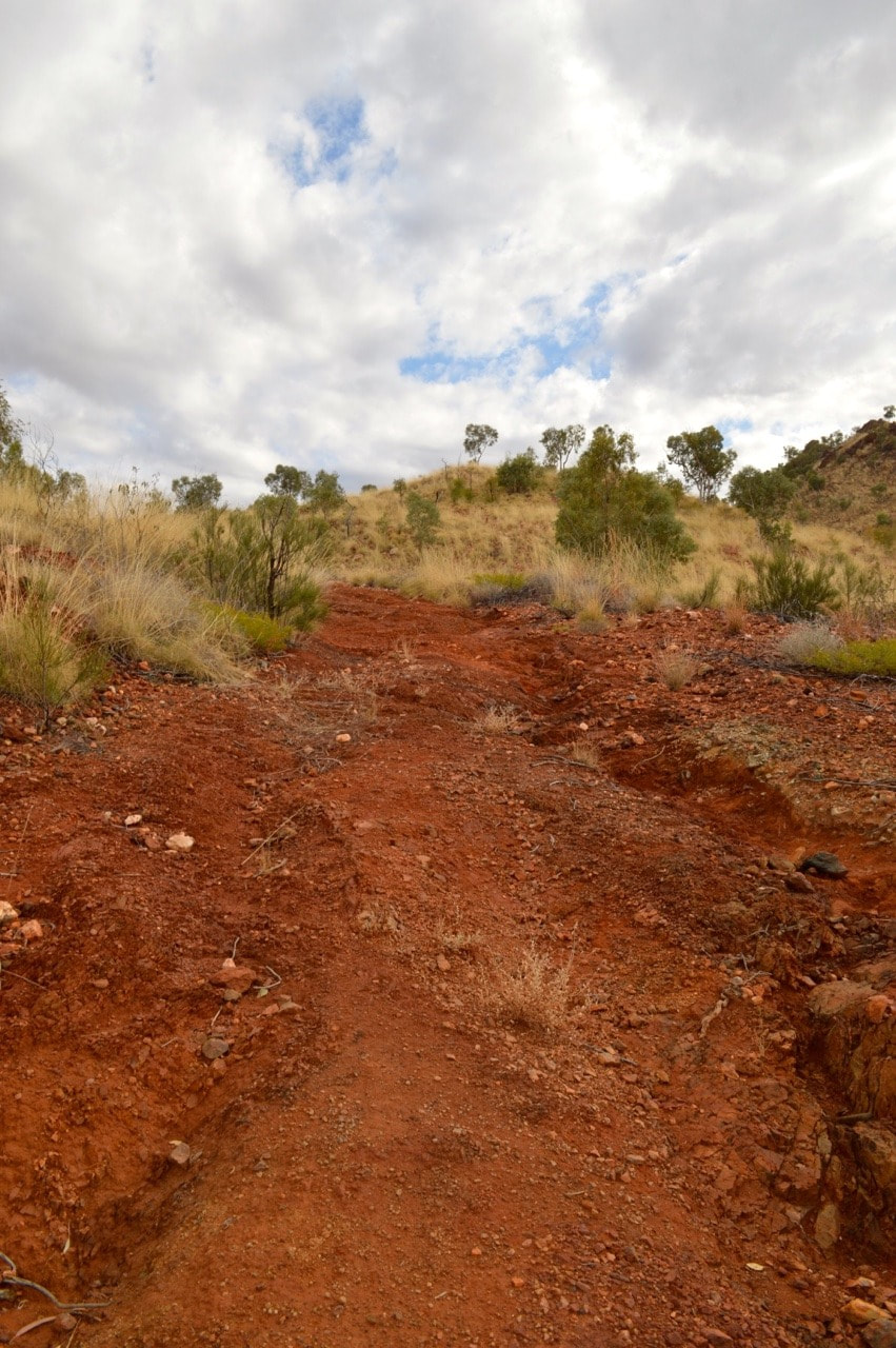
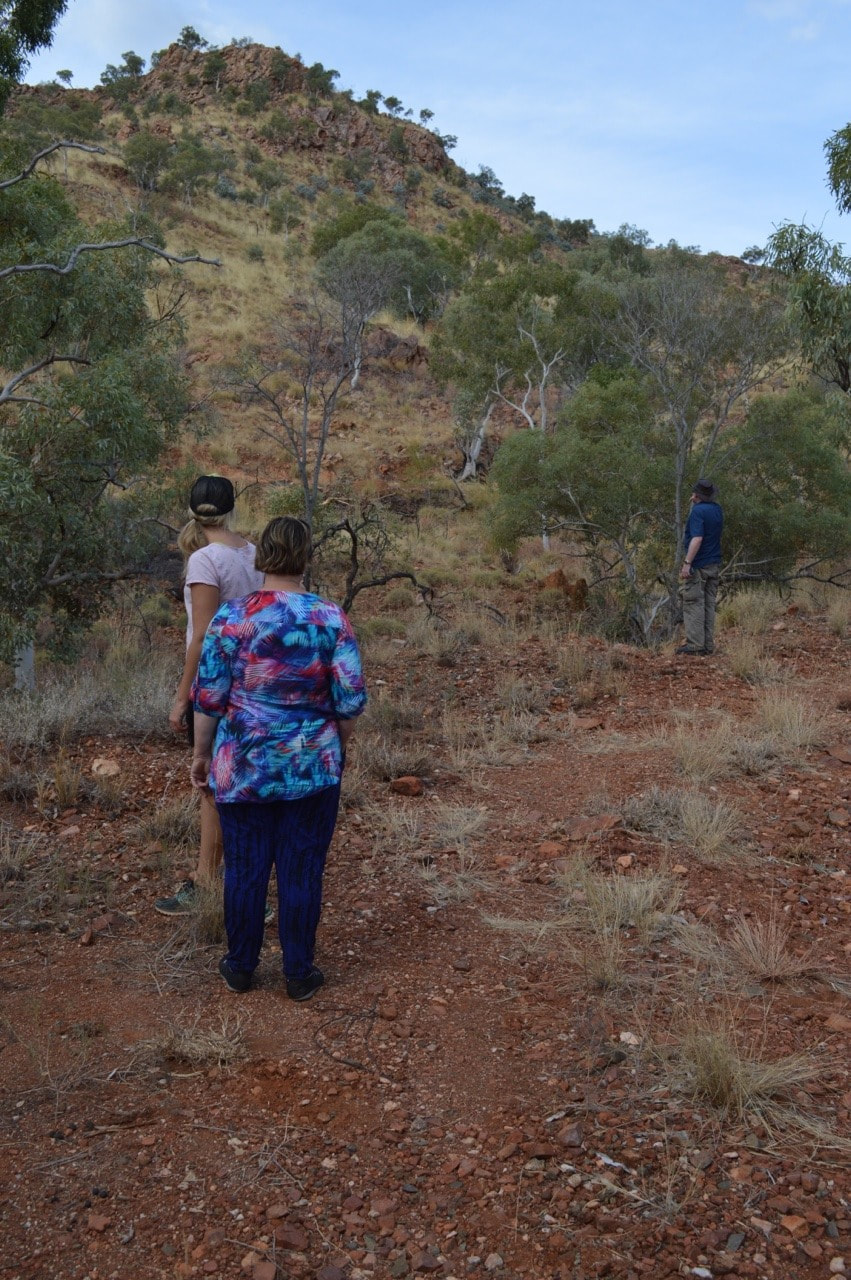
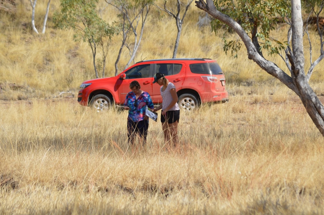
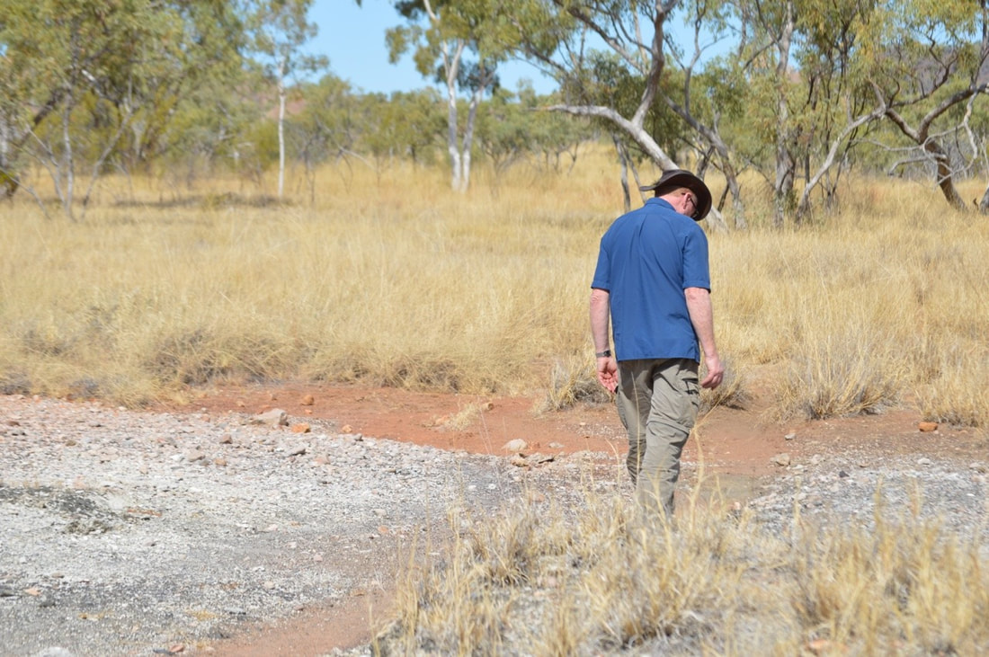
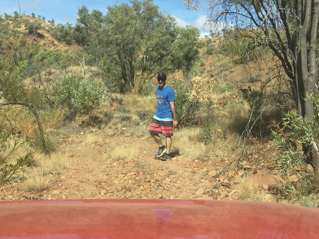
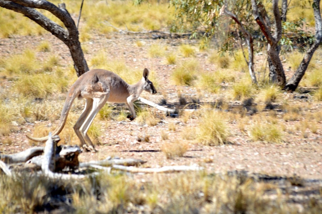 Opting for another walking adventure we left Cherry at the start of the track in the Fountain Springs region and headed west in search of Mystery Falls. Being the height of the dry season we weren’t expecting to find water cascades, but thought it would be worth a look anyhow. The track traverses spinifex country passing through Cattle Creek Valley and offers up spectacular views of the area. At approximately 3kms we took a detour off the track and made our own way through the arid landscape. After about 2kms weaving in and around dried grass, red dirt, ant hills, trees and undulations we ate lunch then decided to head back, as the vegetation was beginning to thicken. Thankfully Shovel was a gun using the GPS so we were able to follow our same path back to the track. Further along the track we met a grey kangaroo. We spent ages just looking at each other, it was a really lovely experience ending when eventually the kangaroo realised we wanted to walk in the direction it was standing, so it kindly hopped off to the side, letting us pass, then hopped back to its spot on the track under the shade of a tree. Nature is so amazing. As for Mystery Falls, they will for now remain a mystery to us.
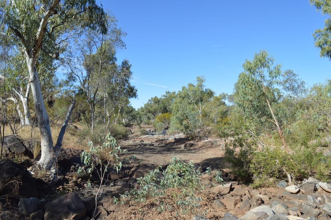
Wet Season (Summer) vs Dry Season (Winter) in Outback Queensland
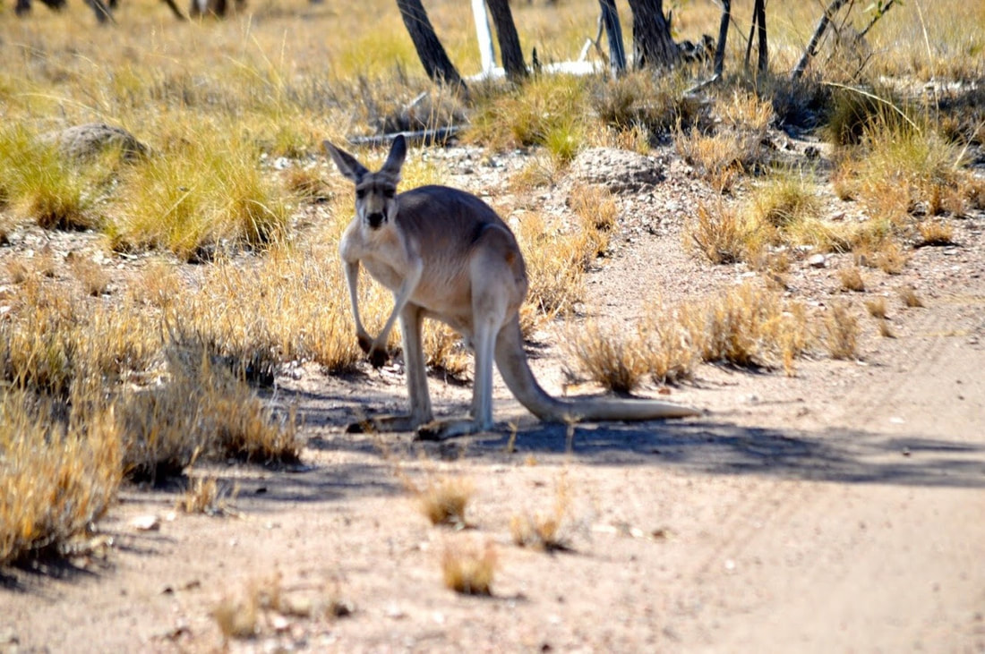
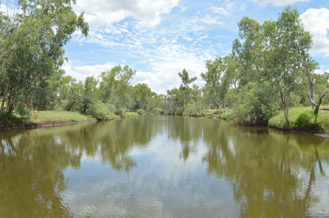
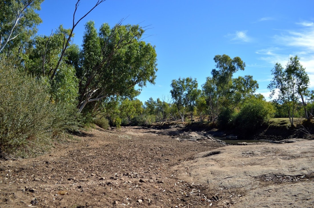
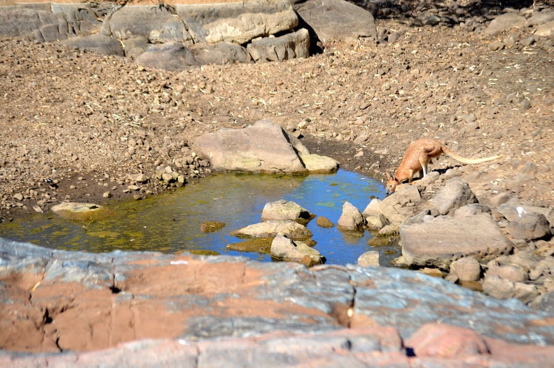
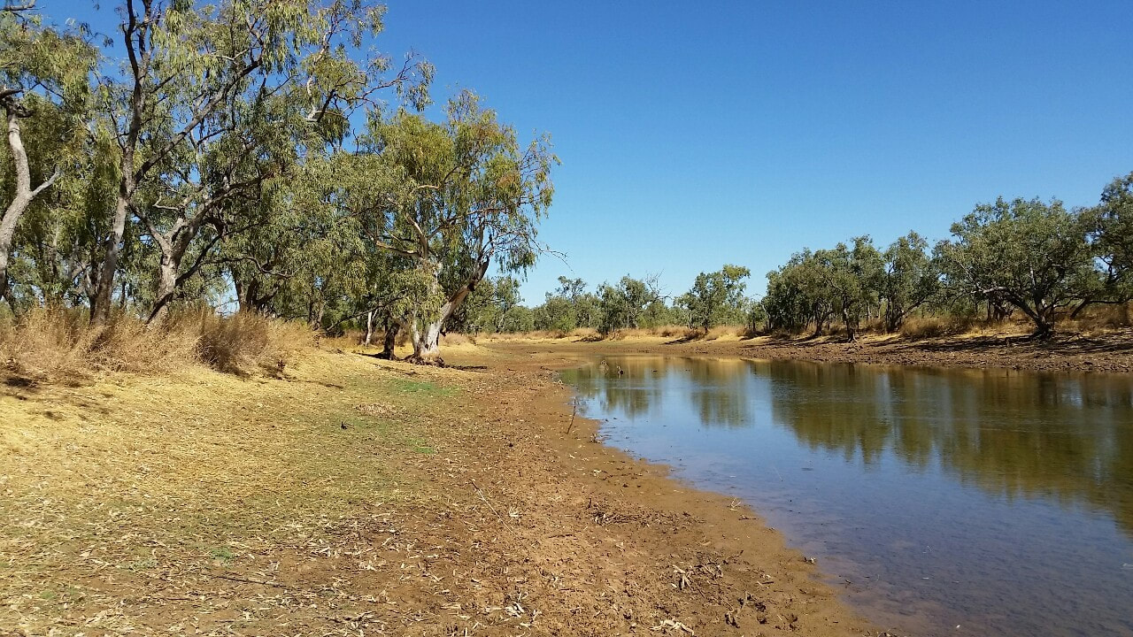
We visited Rosebud Dam back in March 2017, when the river had water and the trees were lush. Although a few pools of water remain, the river bed is vastly sand and in stark contrast to what we saw only months early. But with these sparing water holes comes with it animals and insects. They bring life and are life. We were blessed to see a large red kangaroo and grateful to watch it drink before hopping away. 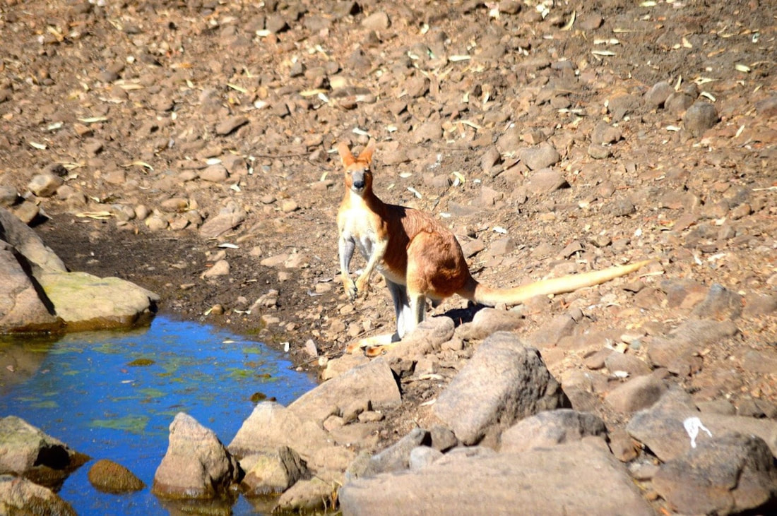
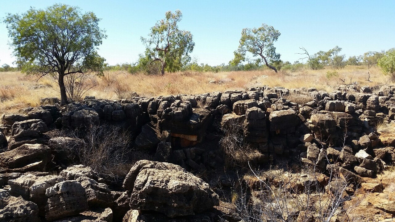
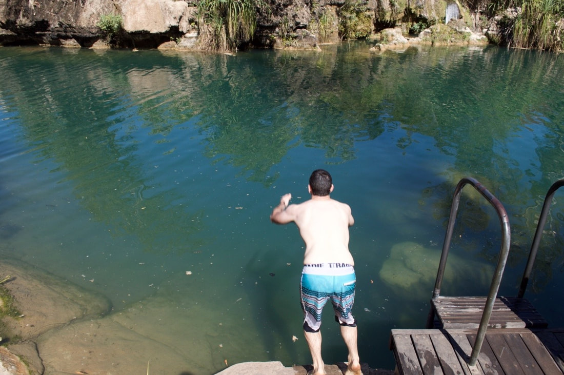
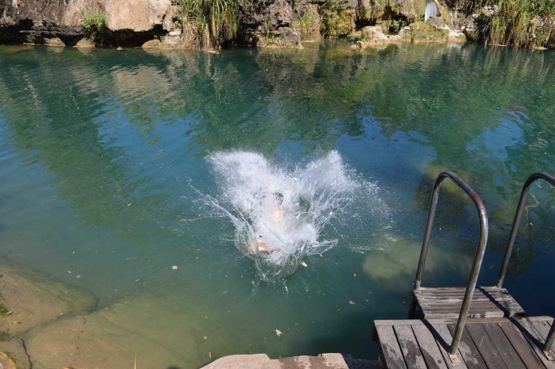
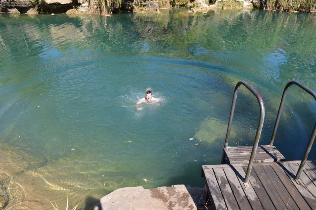
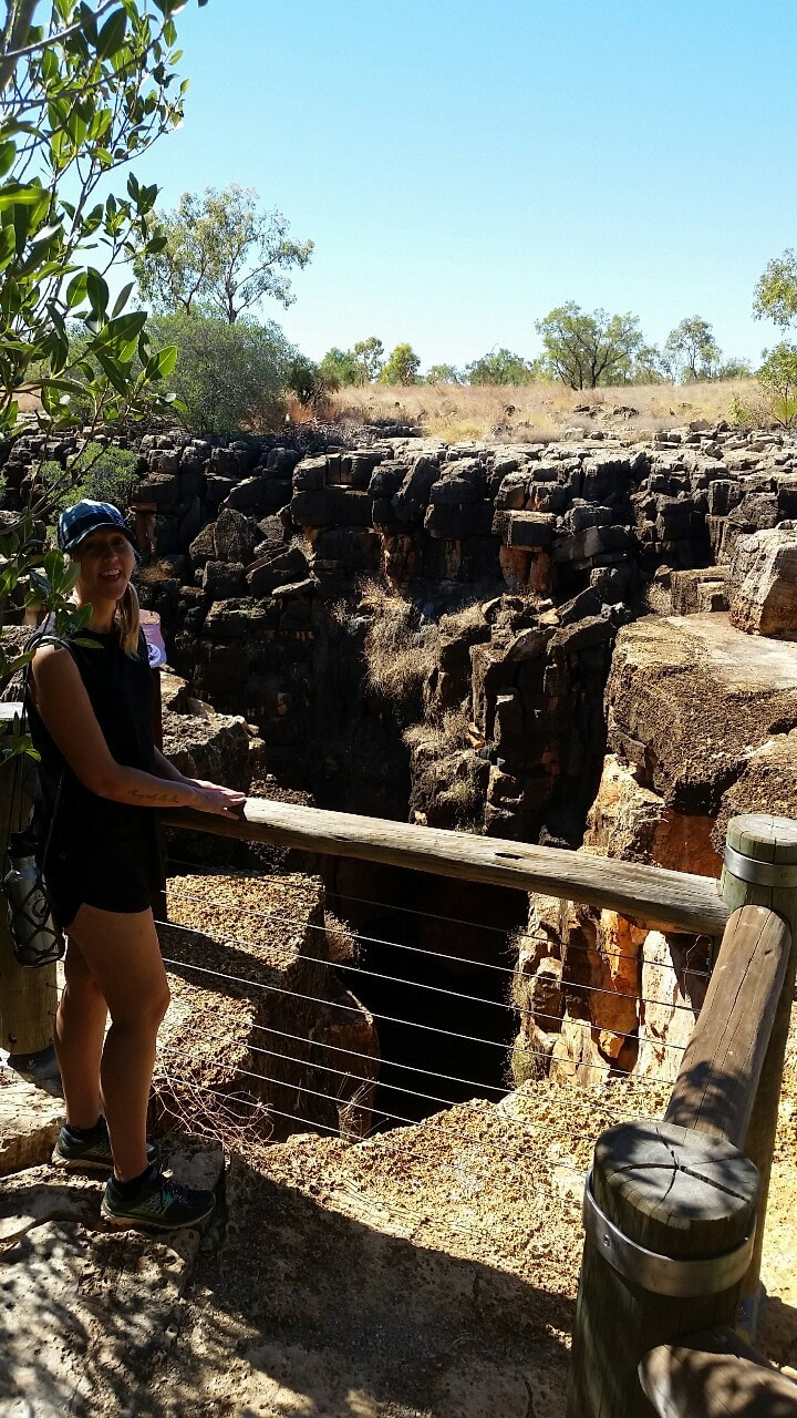
 The opening below is 18 metres and every year water flows through the cracks and reshapes the earth with great displays of geological change. The two Caves (Great Nowraine and Little Nowraine sinkhole), connect each other through a water basin 100m below to provide life for pythons, frogs, bats, fungi and invertebrates. A powerful dreaming from the Nowranie Caves heavily respected by the Indjalandji-Dhidhanu people. In the dreamtime, there was a giant ridge tail monitor known as Wiliyan-ngurru who burrowed through the earth to create the caves. The monitor made it home for himself and his future generations. The ridge tail monitors in the area are known as descendants of Wiliyan-ngurru keeping the spirit well and alive in the Nowranie Caves.
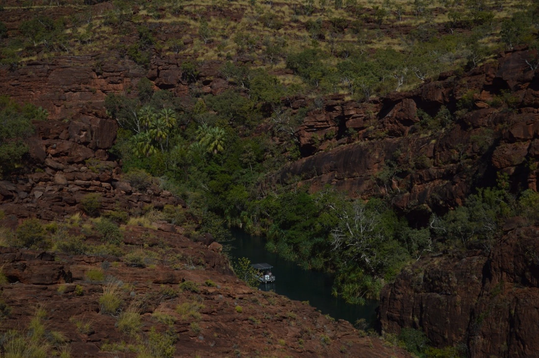
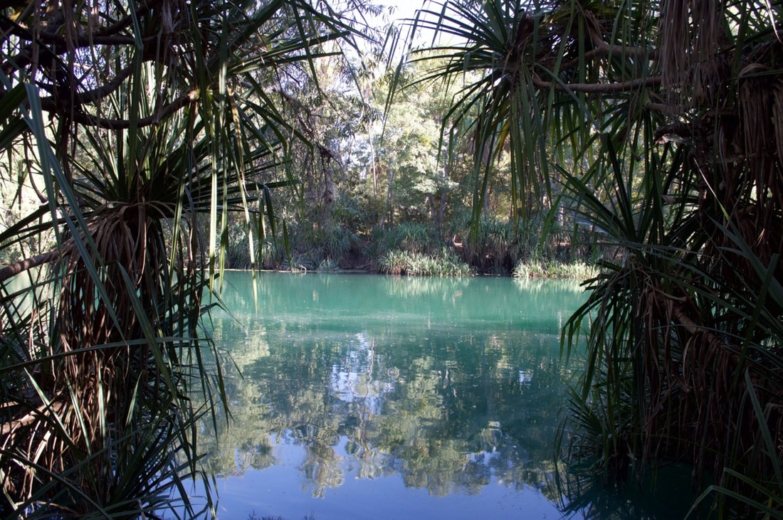
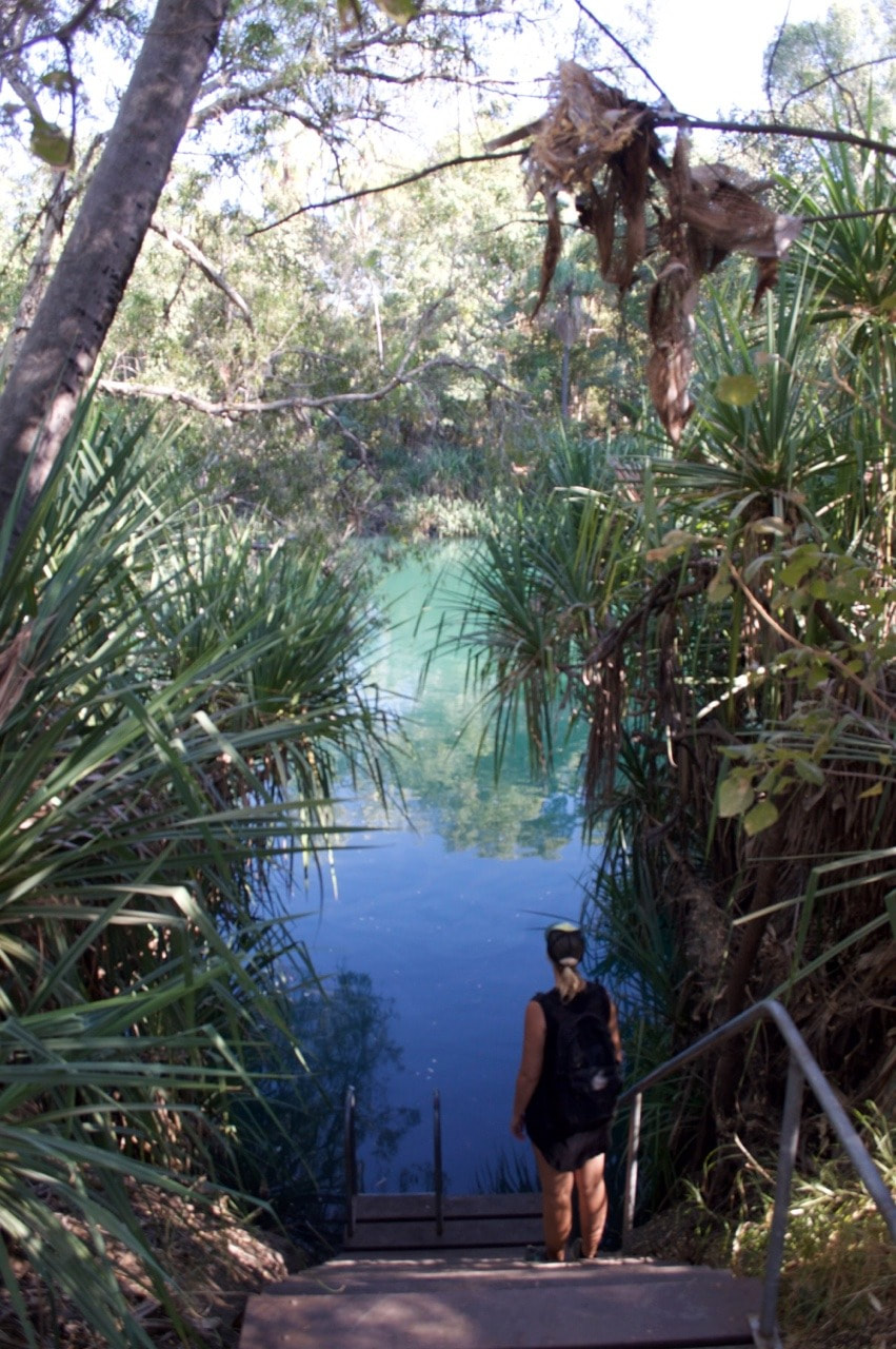
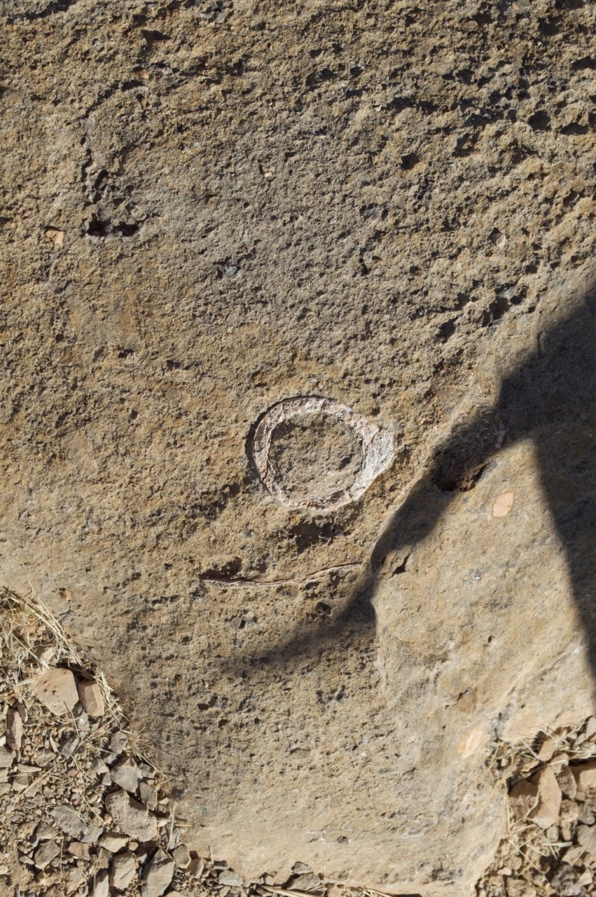
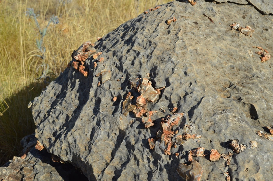
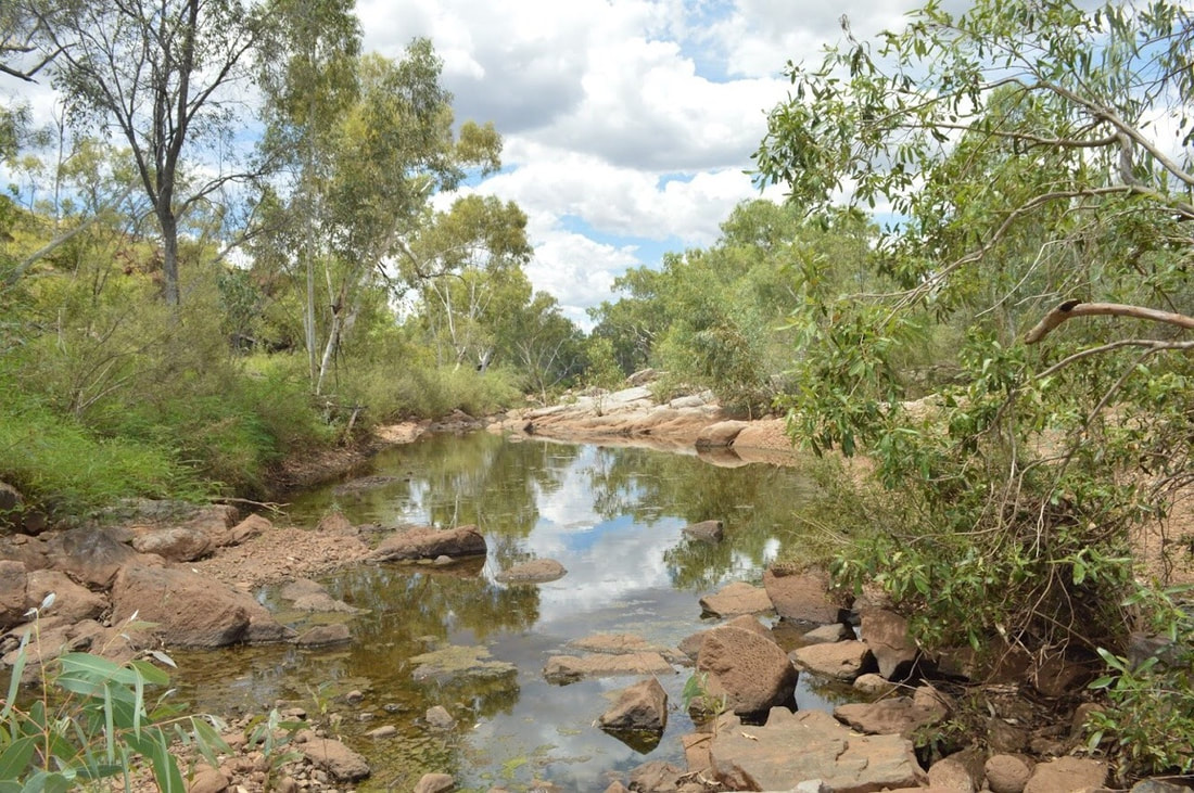
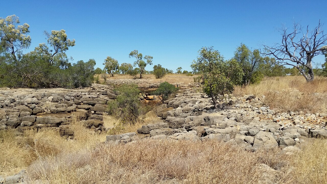
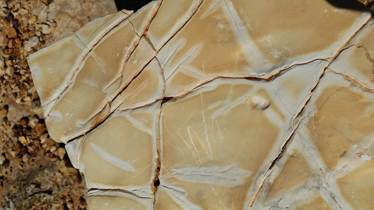
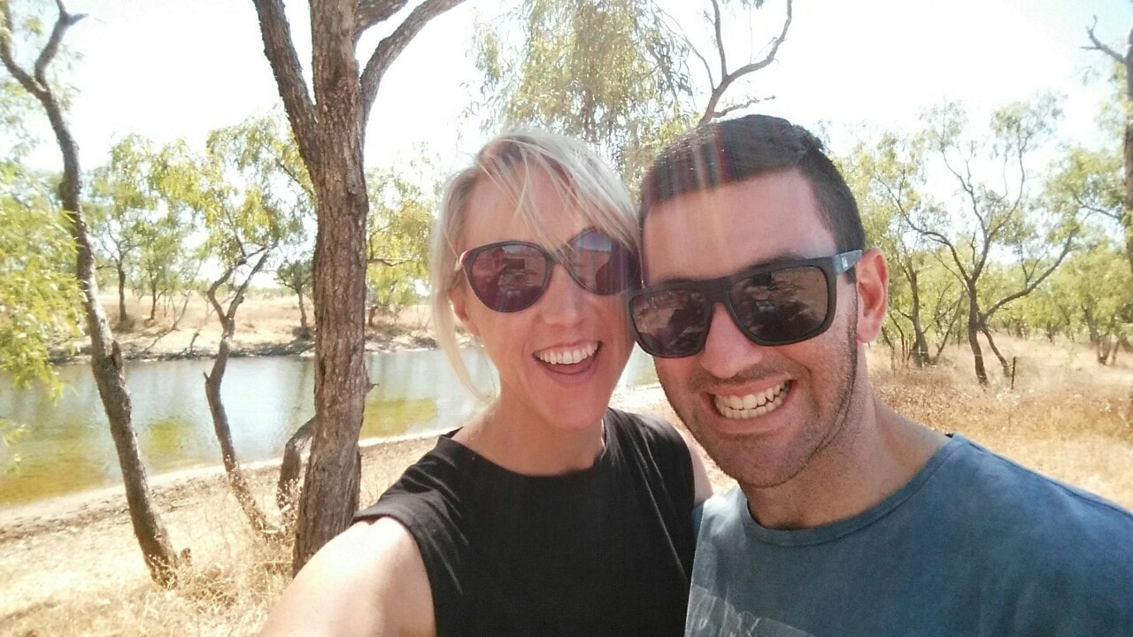
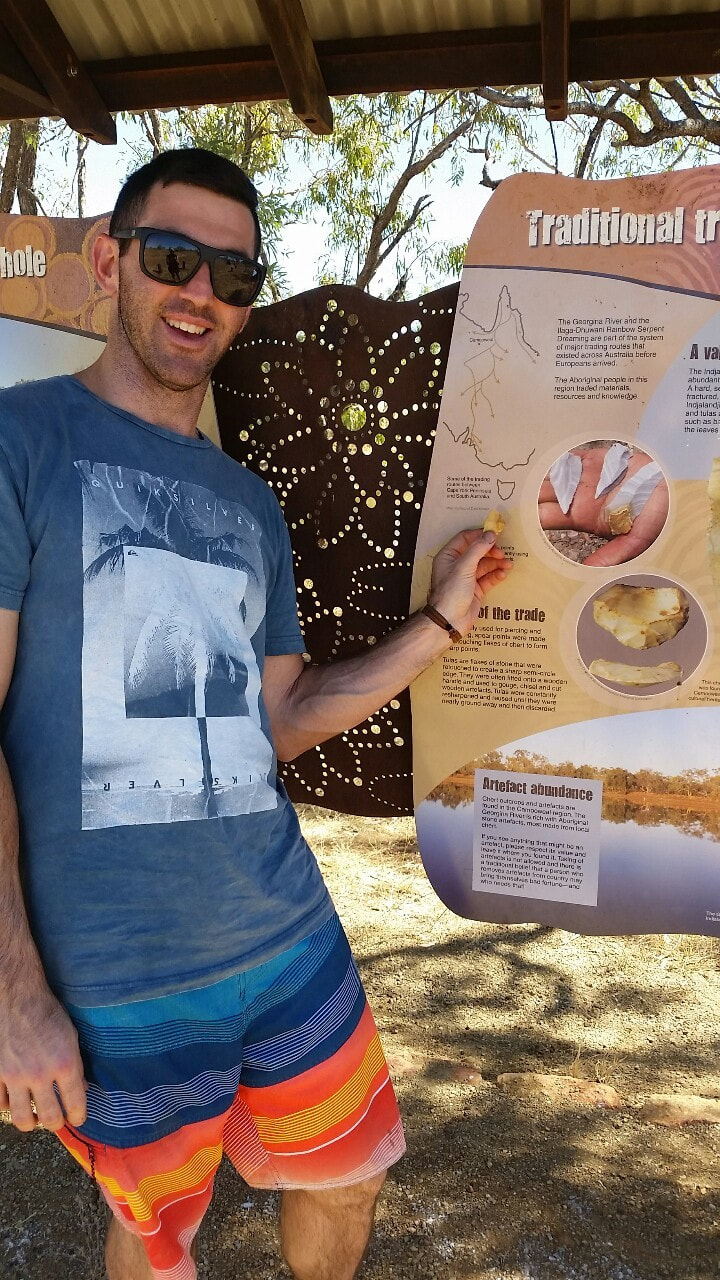
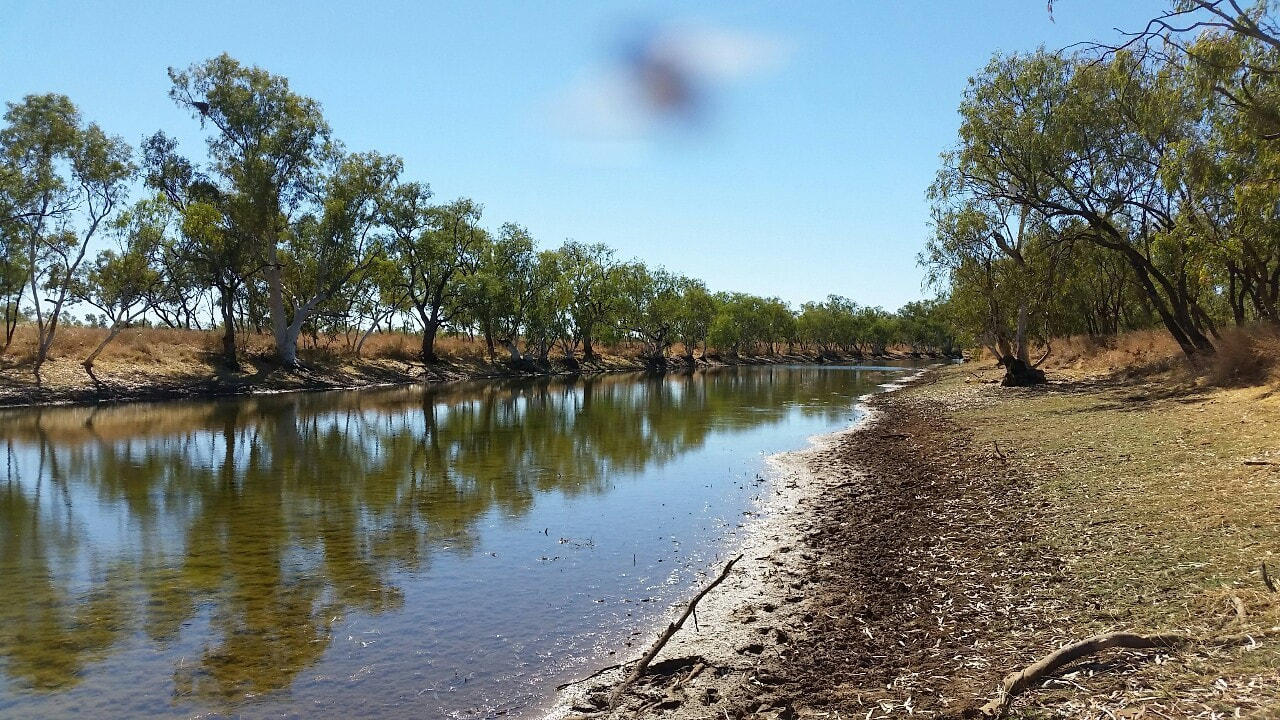
Nowraine waterhole is also another nice place to take in. Throughout most of the year there is good clear water and dense bird life around thriving off the resources. The waterhole eventually feeds into the Georgina River, one of the three major rivers of the Channel Country in Central West Queensland. We were fortunate enough to spot some bits of dolomite around that the Indjalandji-Dhidhanu peoples used as the sharp ends for their hunting spears.
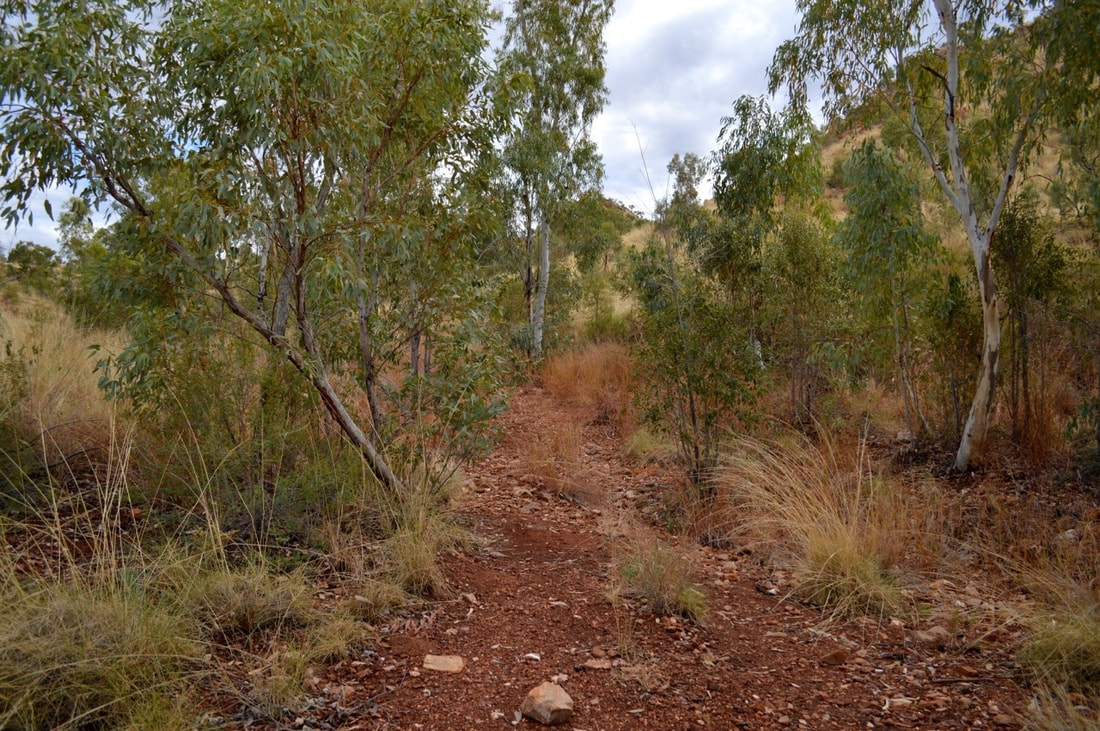
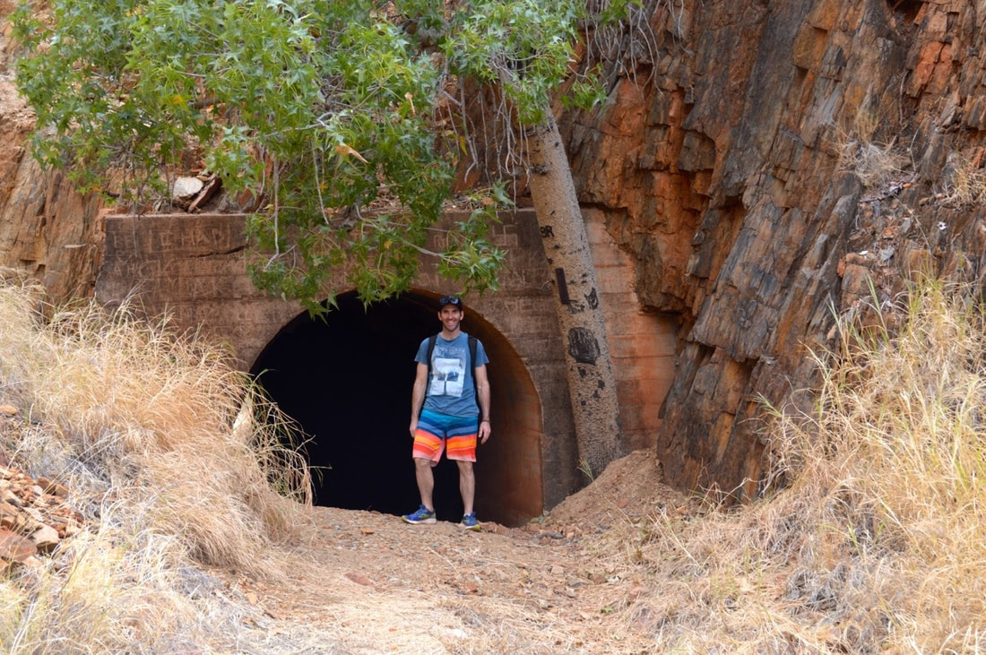
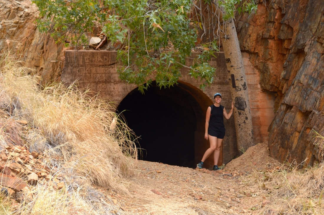
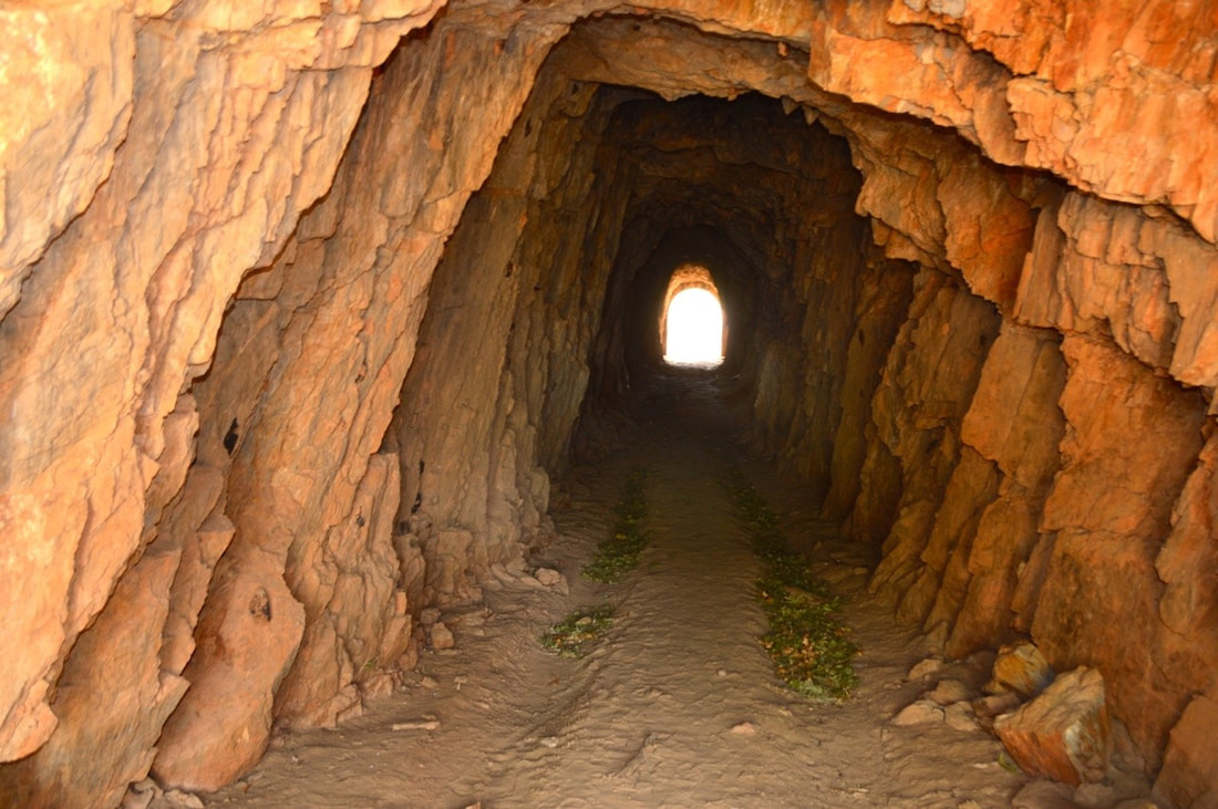
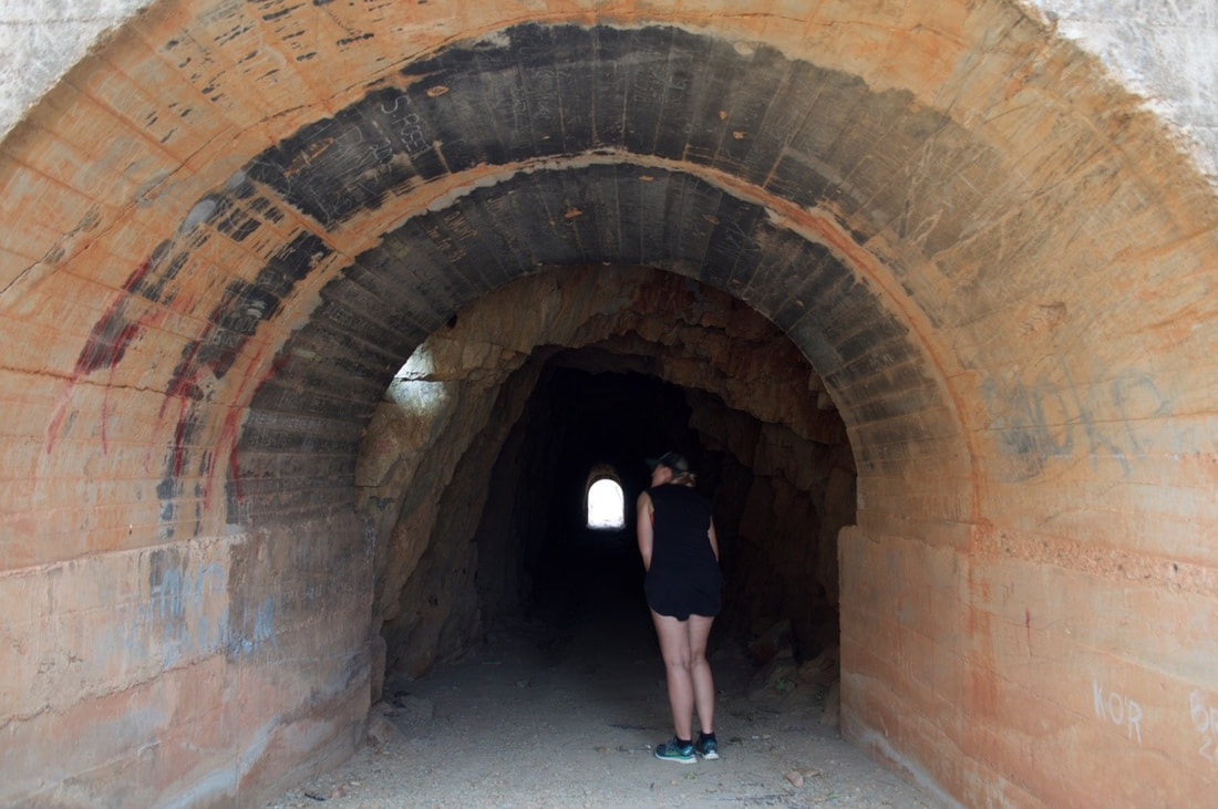
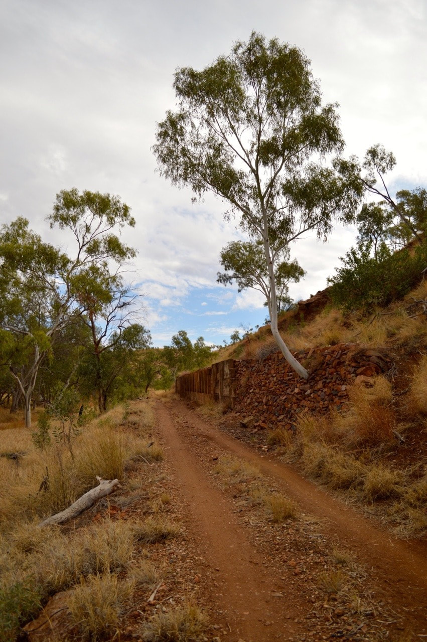
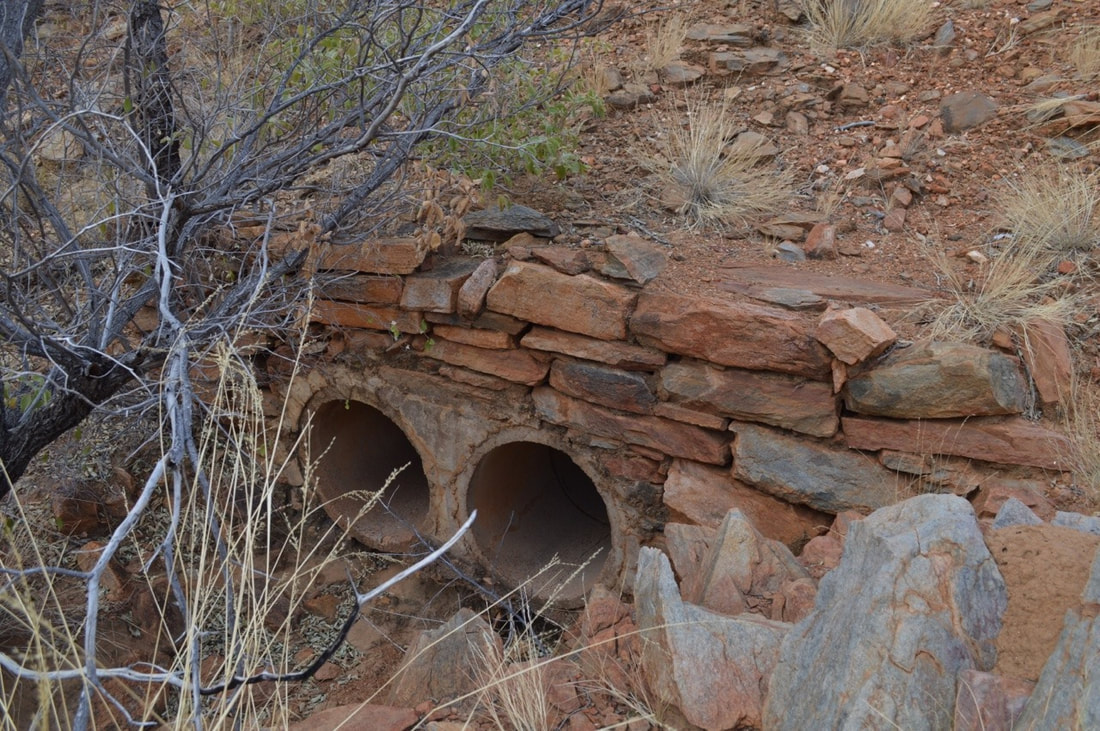
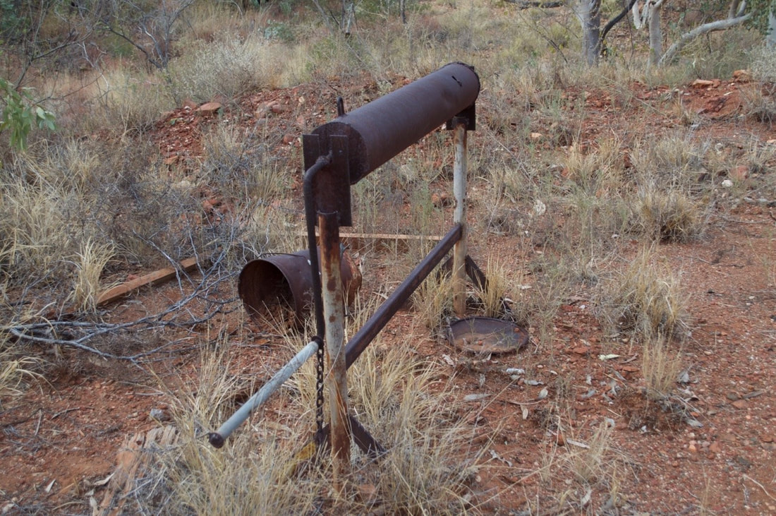
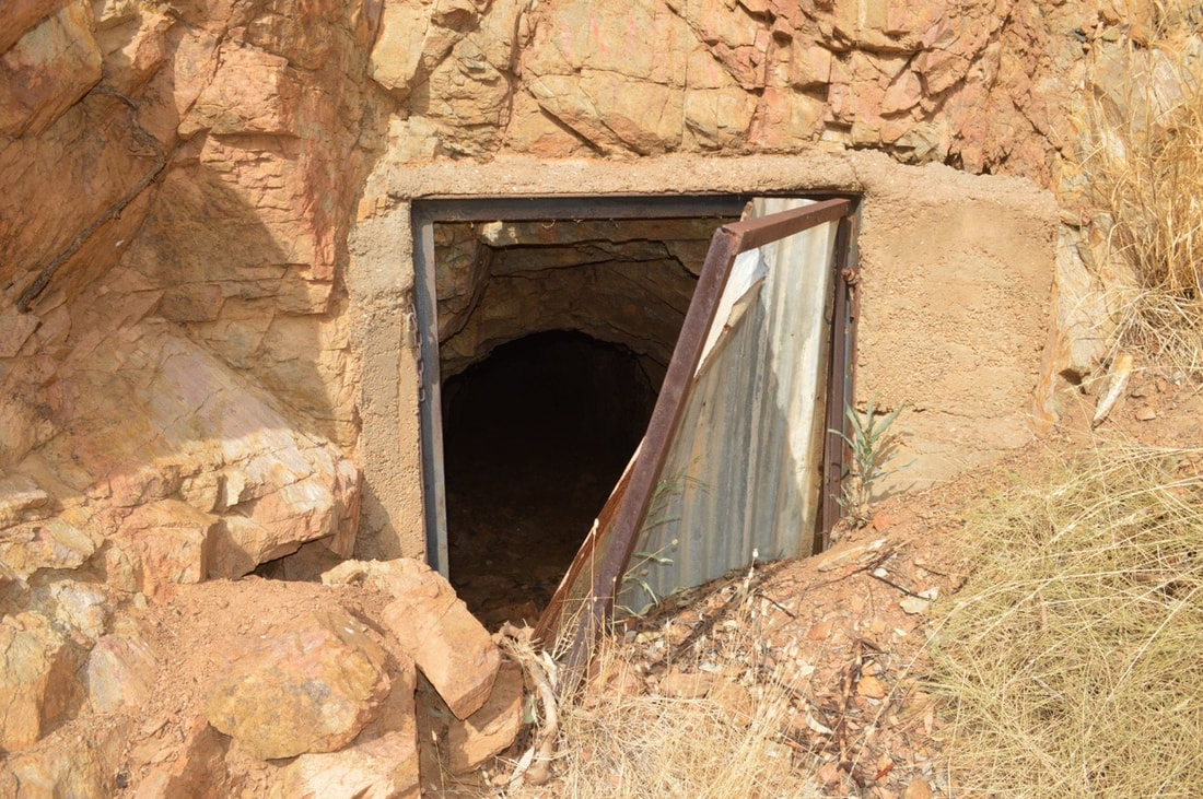
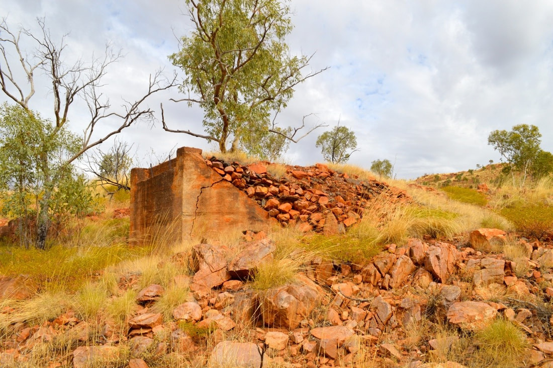 To access the only rail tunnel in North West Queensland we left Cherry near Ballara at the start of the Hightville Shortcut and ventured on foot towards the old township of Hightville and up to the tunnel. The weather was mild and slightly overcast making for perfect walking conditions.
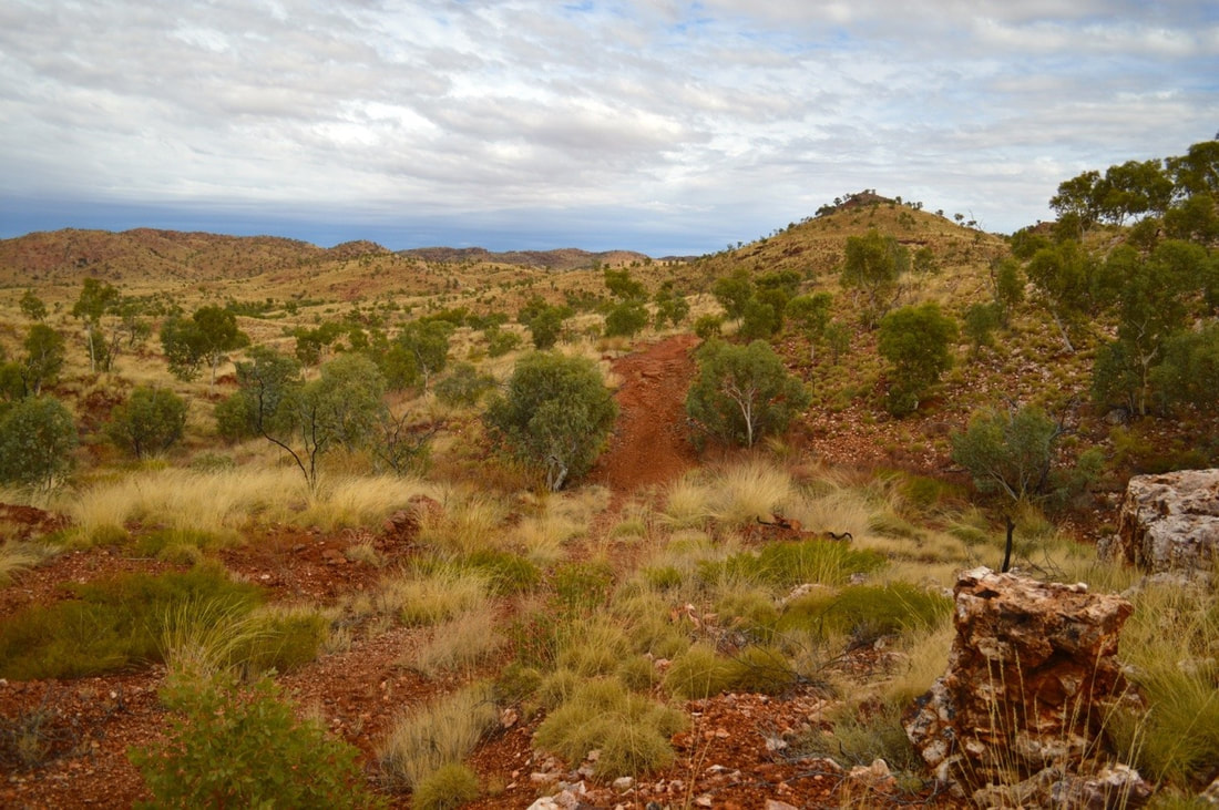
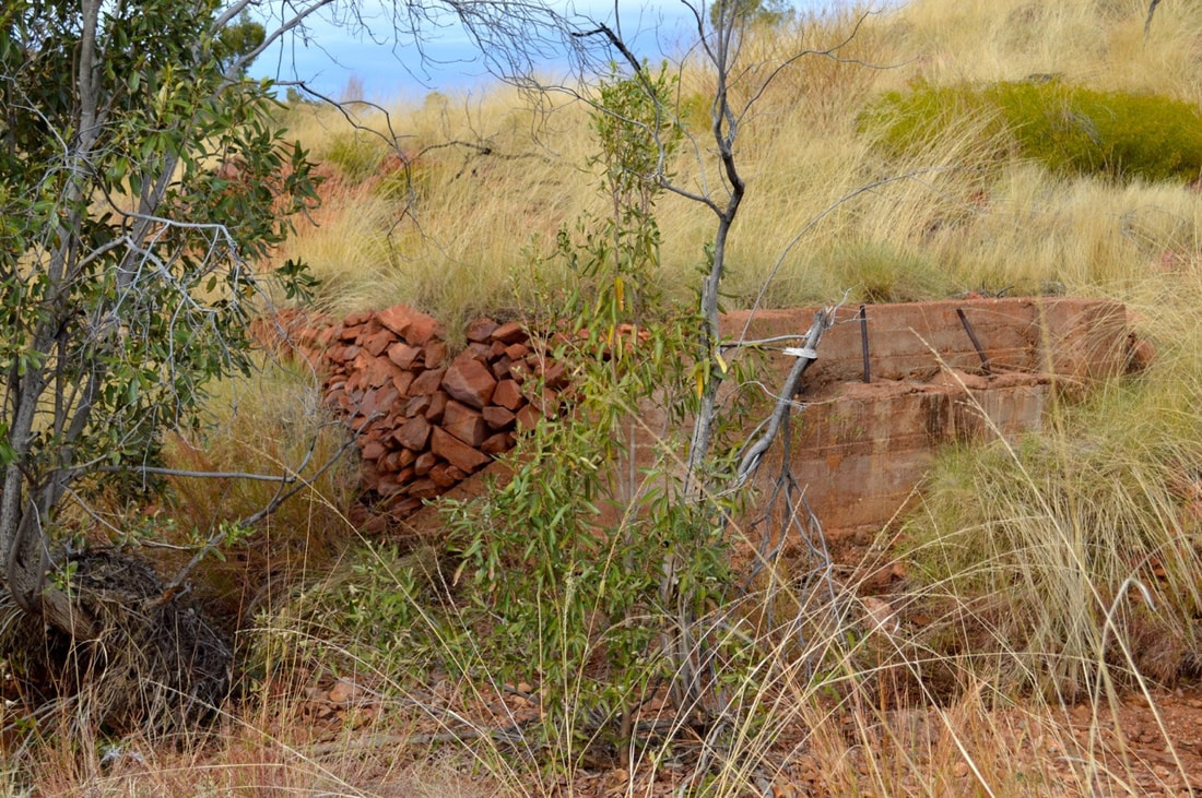
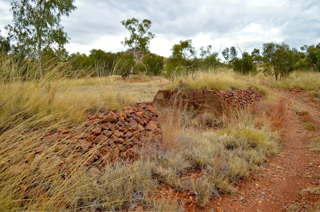
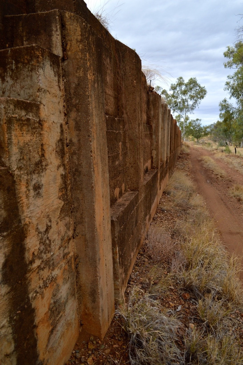
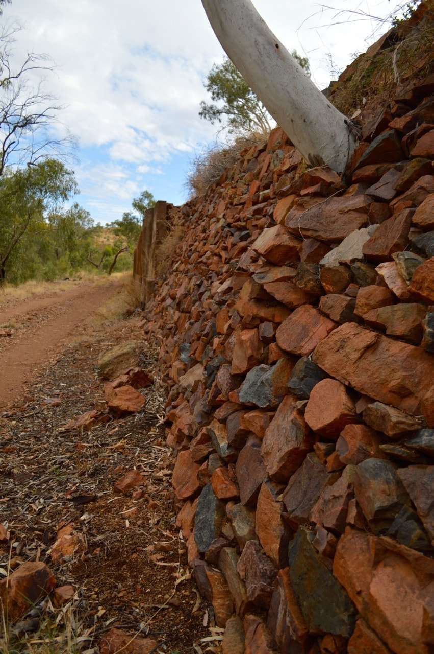
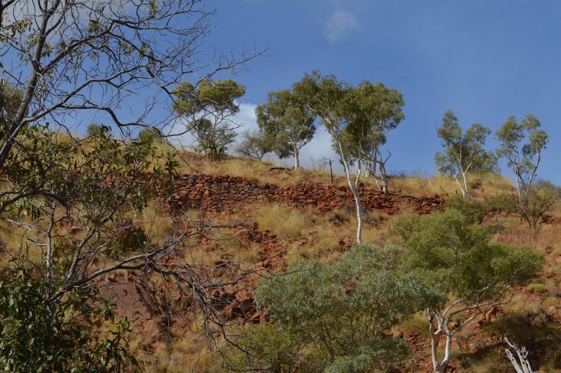
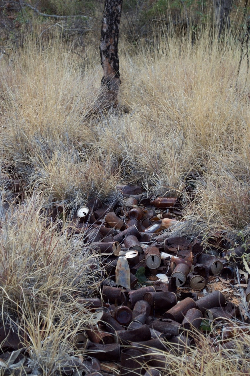
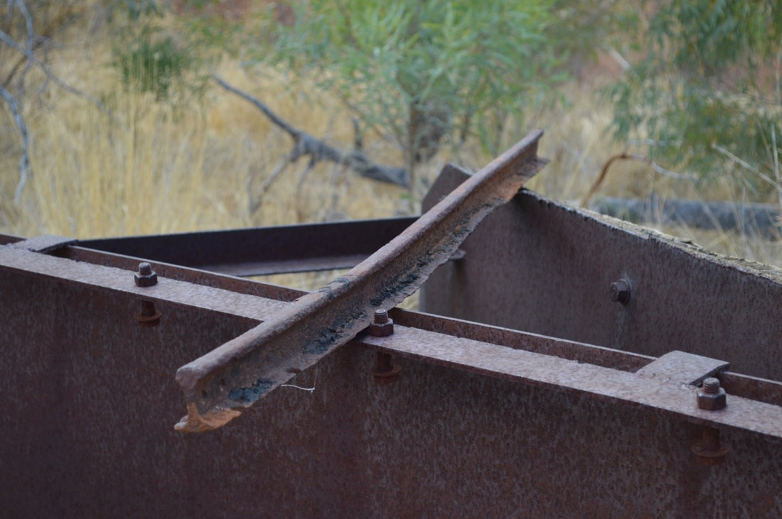
After having lunch at the tunnel we walked back down the hill towards Ballara, past the old rail loading platform. This was where the 2" gauge rail line terminated and the 3.5" gauge rail towards Kuridala and Cloncurry began. The small one tipping ore into the larger one from the top of the platform. The stone wall is beautiful. It was amazing to see. At its peak Hightville incorporated a hotel, shops and even a school. Children in Ballara would have to attend school in Hightville and as such would hitch a ride on the ore wagons. This dangerous practice was axed however with the establishment of a school in Ballara in 1919. 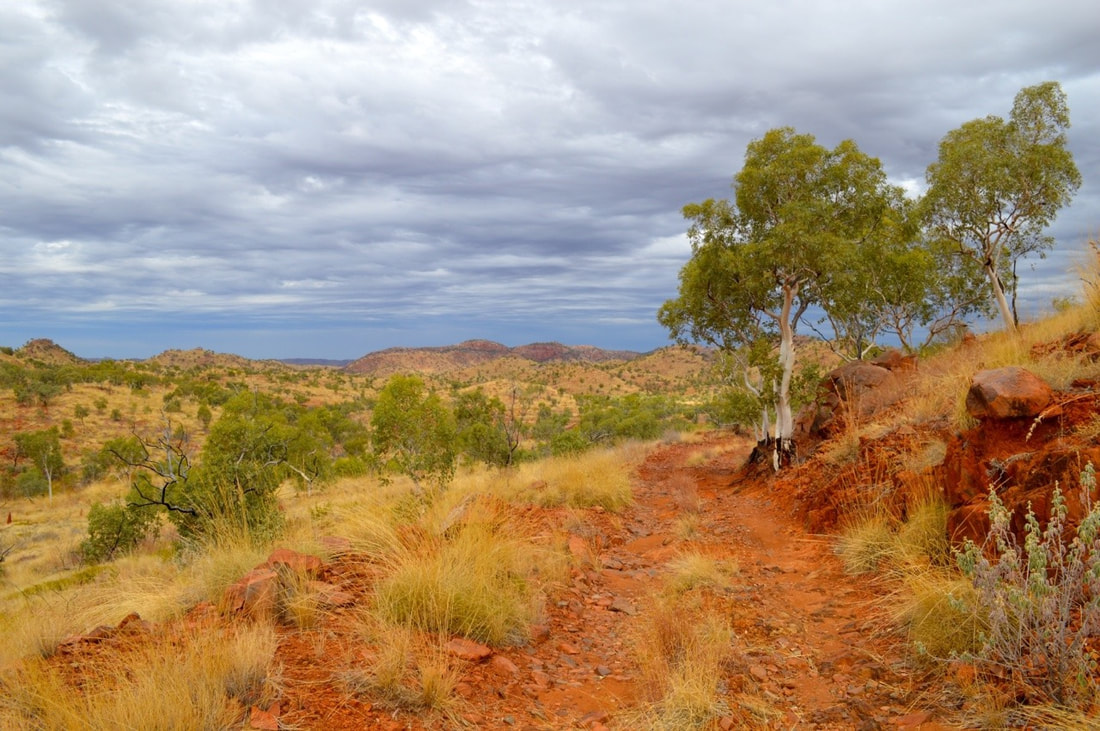
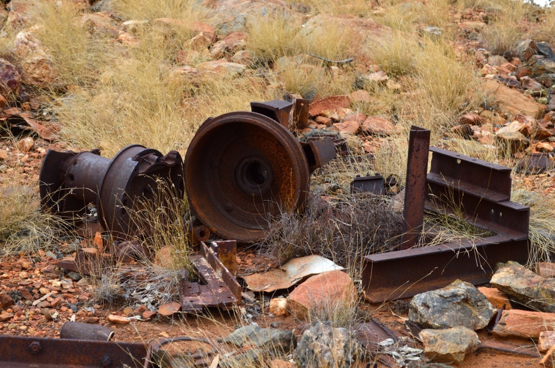
Although the rail line has since been dismembered, the tunnel and ruins of rail bridges remain, making for a really fascinating adventure.
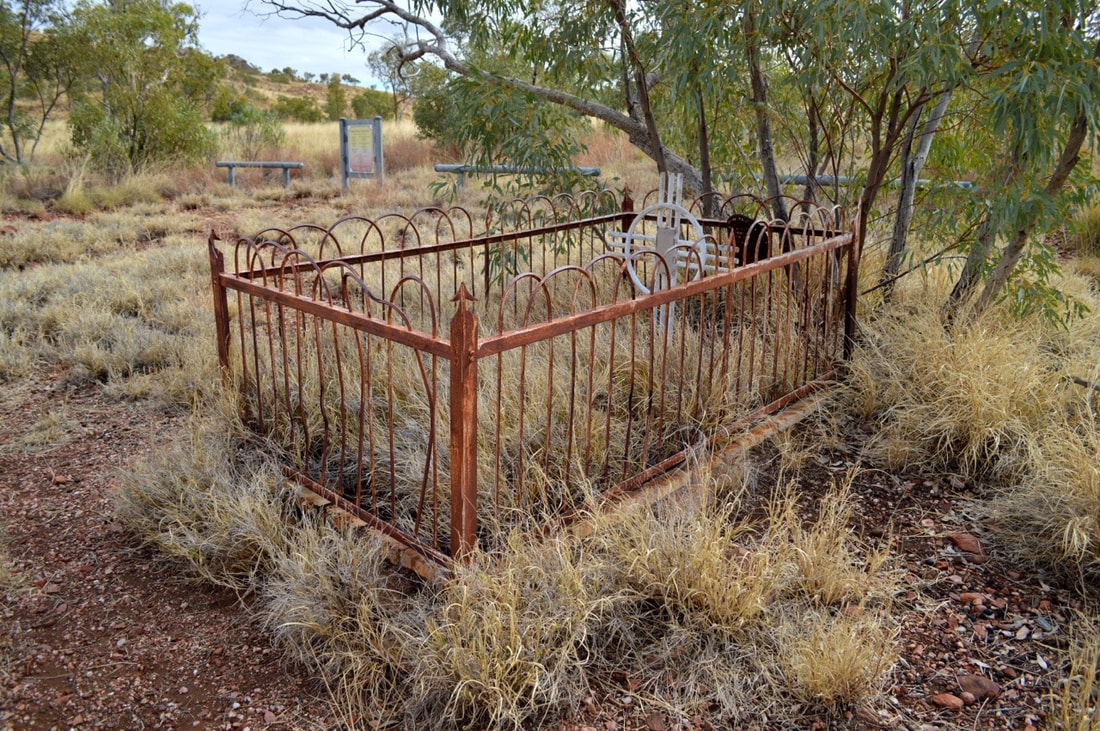
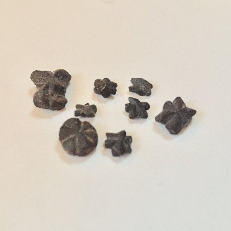
We watched an episode on YouTube of the Leyland Brothers from back in the late 60’s when they journeyed to Mount Isa in search of the Maltese Cross. Since watching this episode we have been inspired to find the Maltese Cross fields, Wee MacGregor Mine and the Tunnel. The same grave site in our photos was featured in the Leyland Brothers episode.
We found some interesting specimens, although not a perfect Maltese Cross, we’re still pretty happy with our finds.
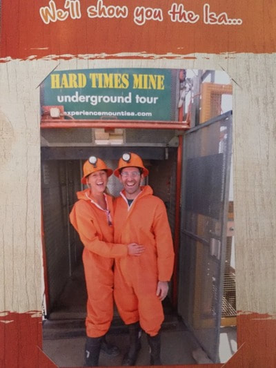 Outback at Isa Hard Times Underground Mine Tour. Physically built by actual workers of the mine in town over a period of 4 years. This mine designed for tourists was completed 14 years ago and depicts mining life during the 60’s through to the 80’s. There’s an opportunity to hand drill, see an old loader in action and ride in the back of the ute through the portal. They have even replicated the crib room from 19 level of the Copper Mine in town, where you get to eat pasties and corn-beef sandwiches. The tour guide, Bill an old miner knew Shovel’s Dad and Grandad so Shovel and Bill were able to spin a yarn. The tour is well worth a visit.
'Hard Times' was actually the name of John Campbell Miles's horse. |
The JourneyChoose Curiosity The Catalogue
November 2023
The Tags
All
|


 RSS Feed
