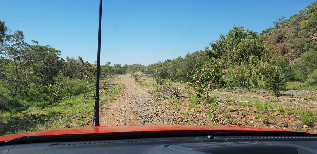
    The detour through Gregory Downs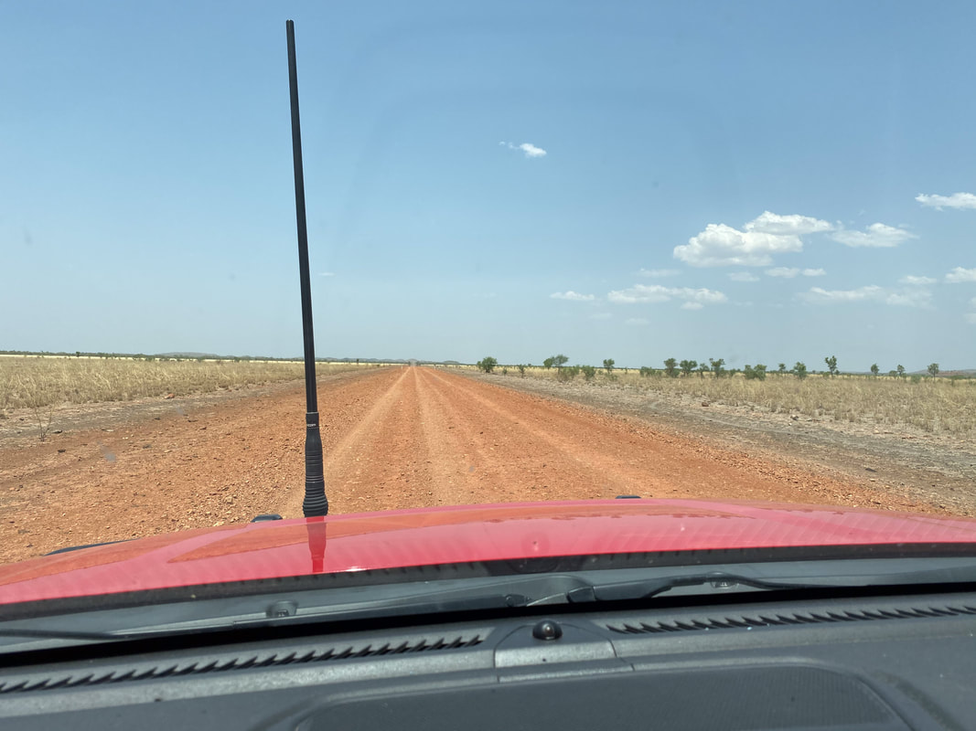
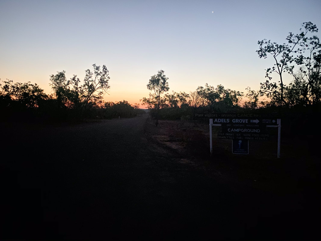
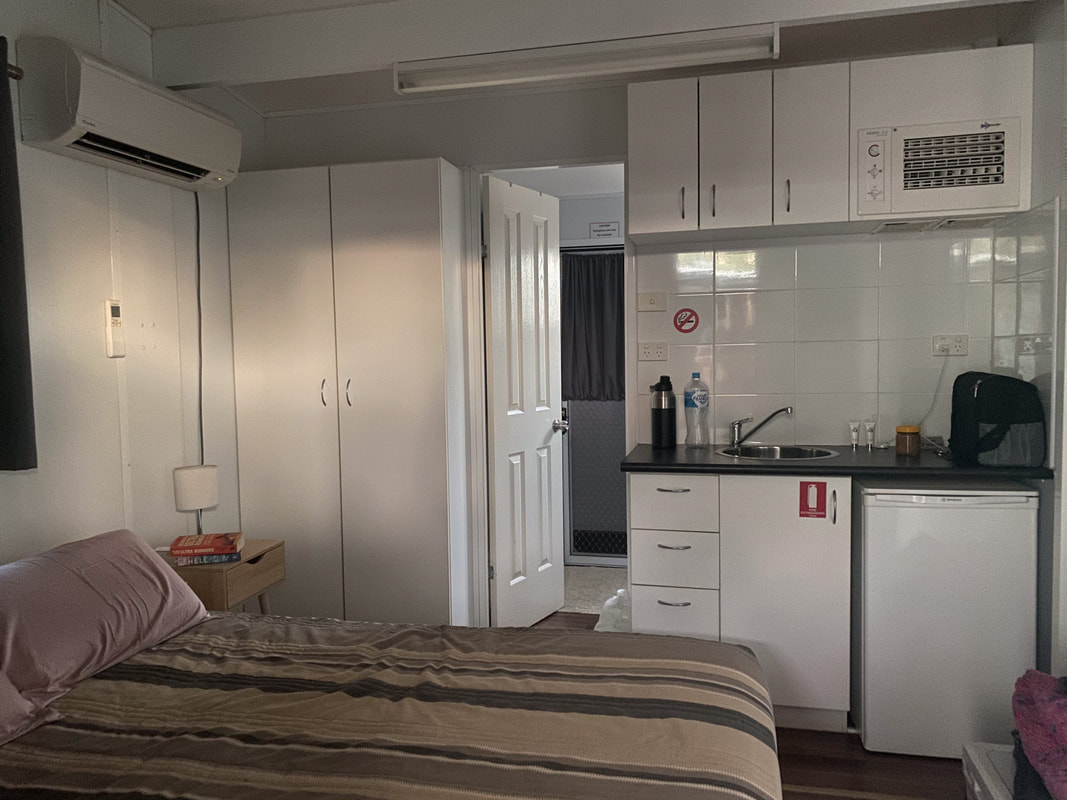
 Adele's GroveFire
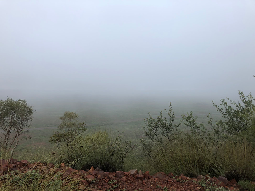
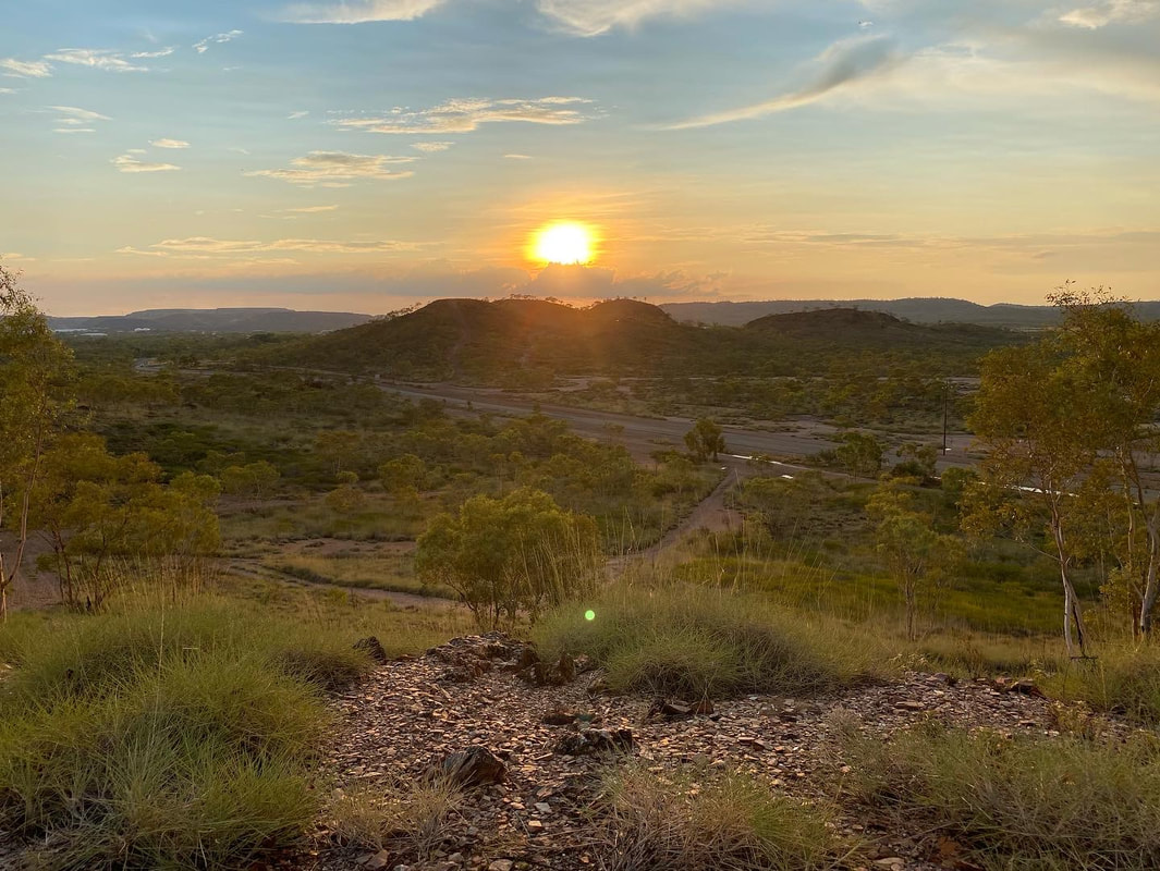
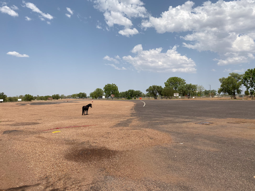
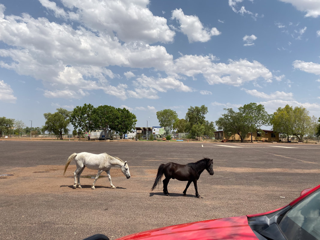
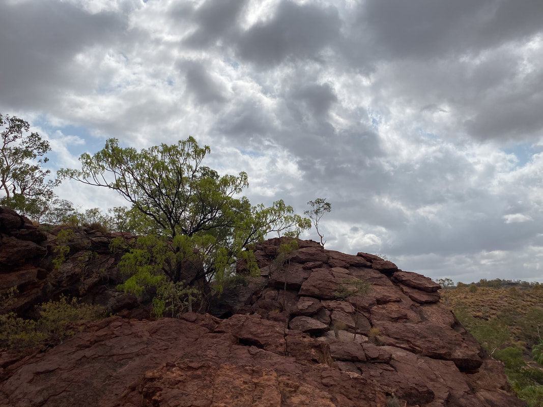
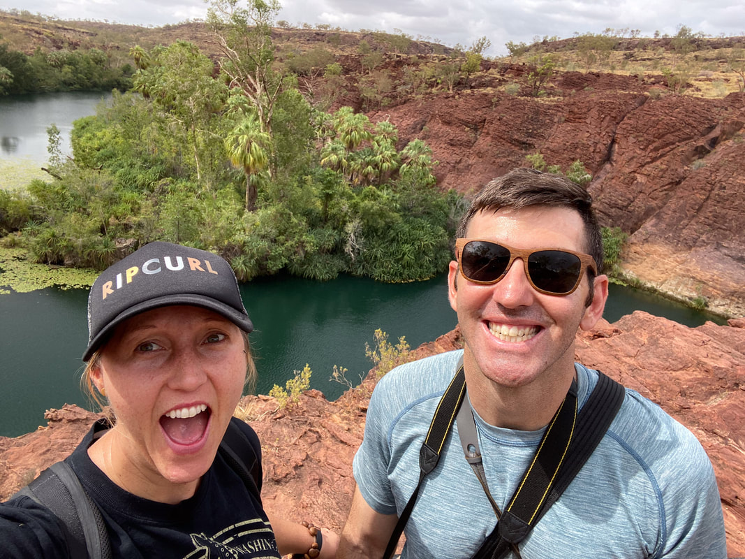
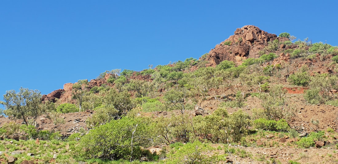
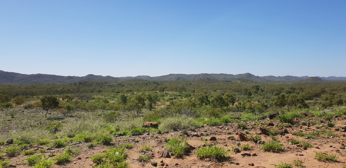
Boodjamulla National Park
  The Return Journey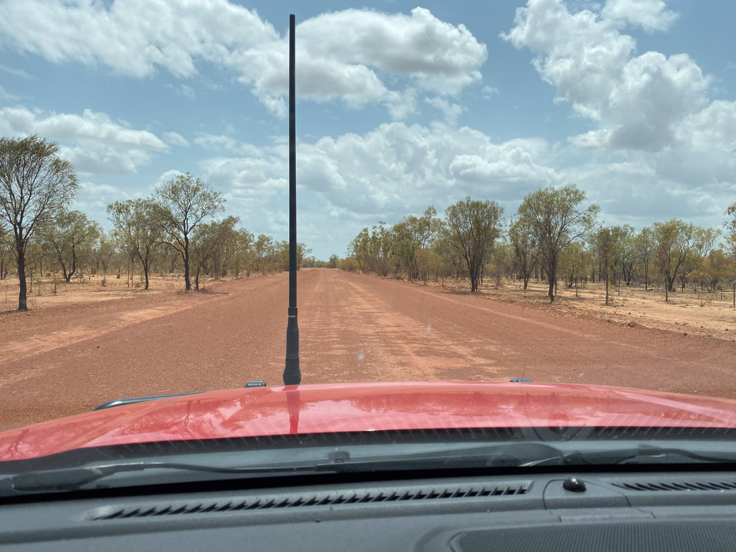
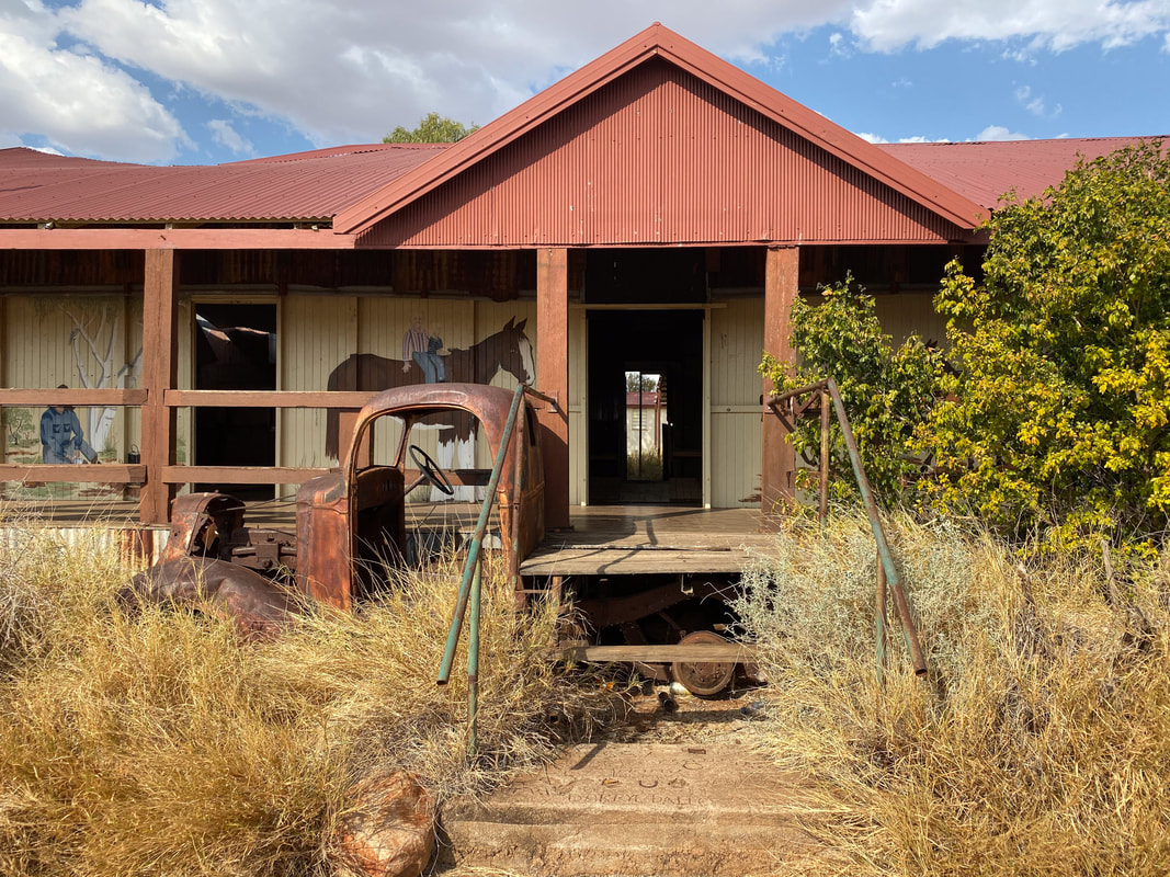
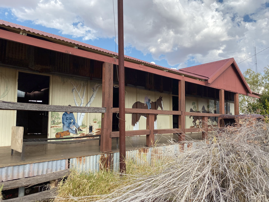
Quamby PubClosed in 2013 and restored in 2023 by two Gold Coast based mates. 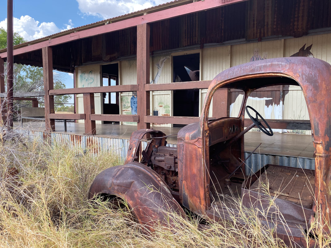
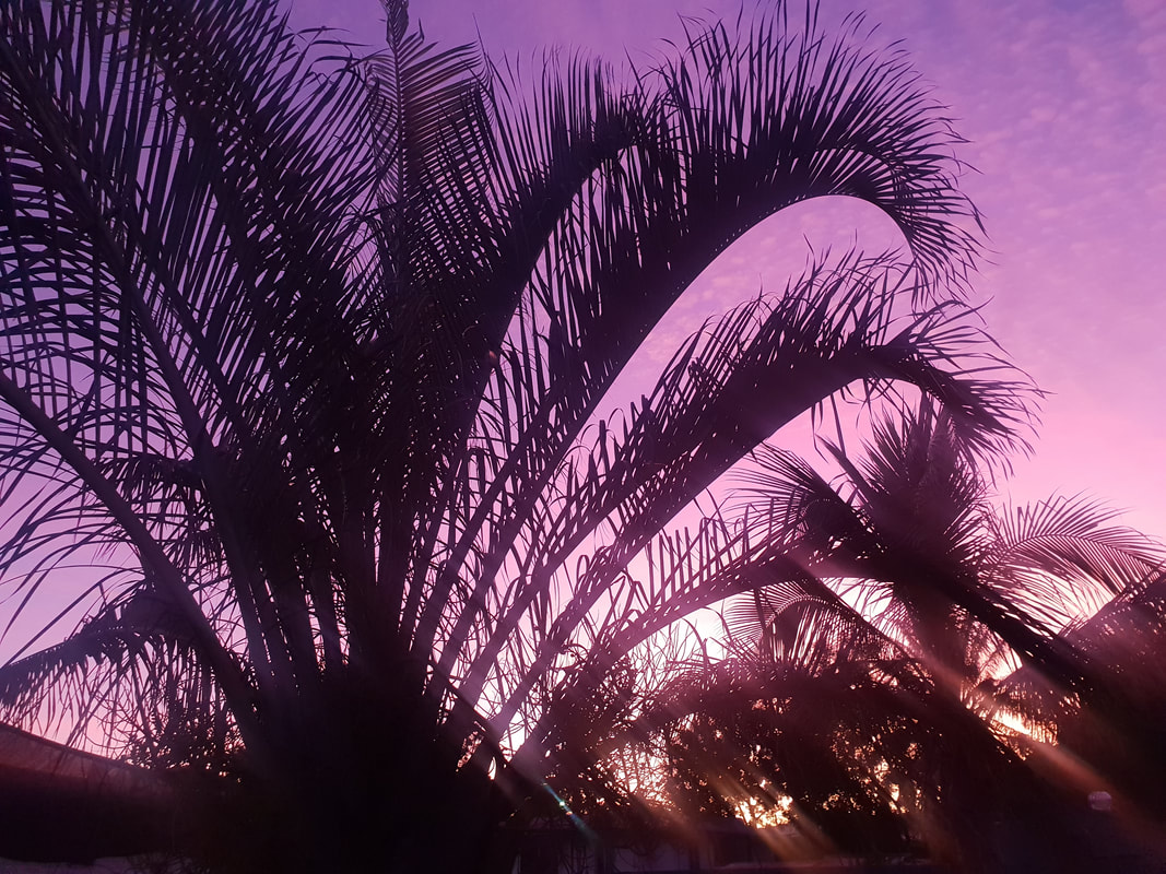
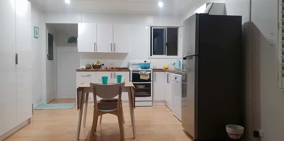
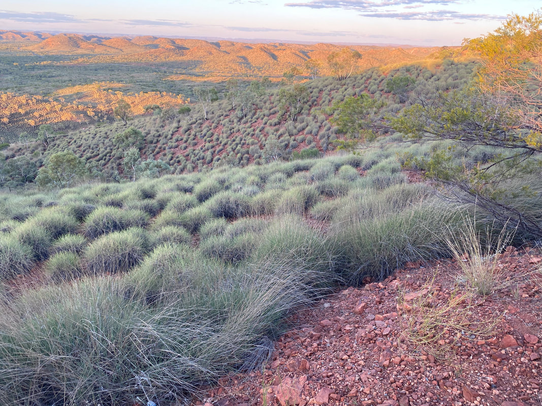
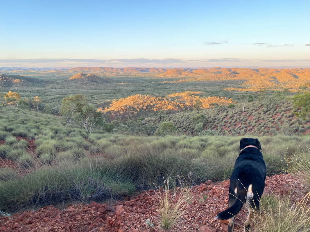
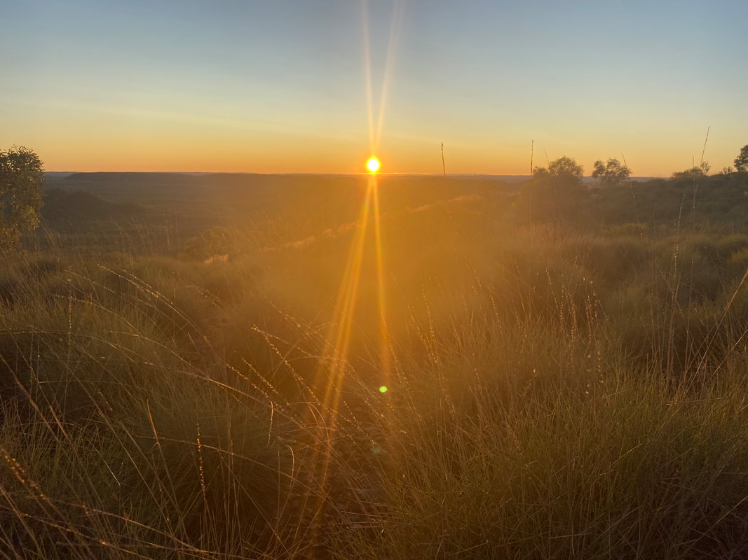
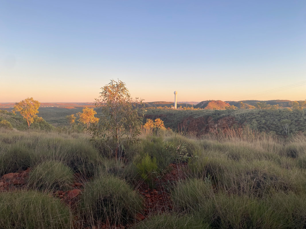
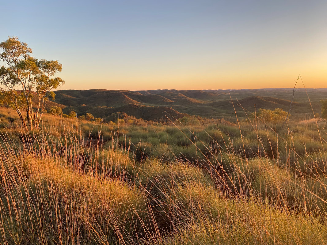
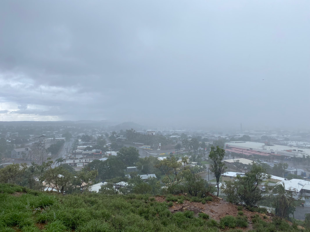
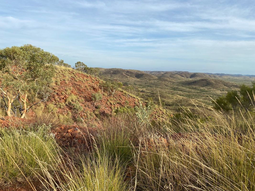
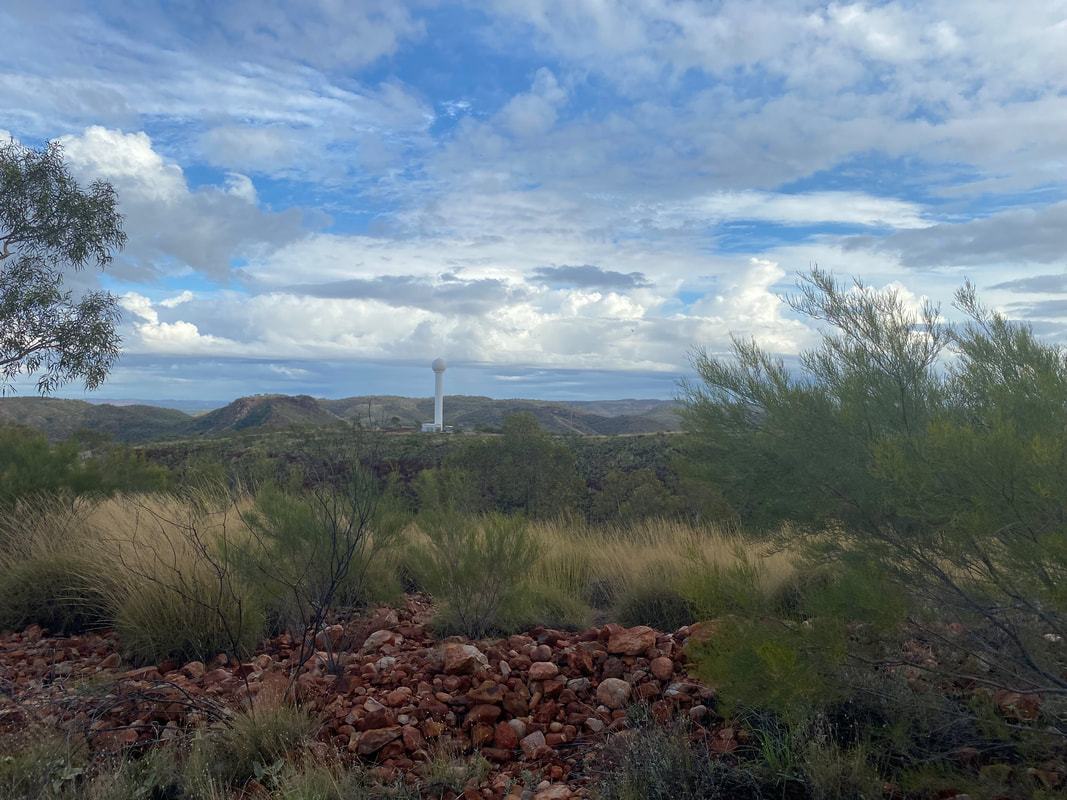
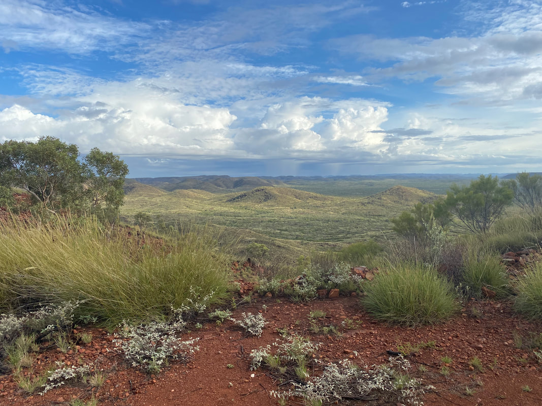
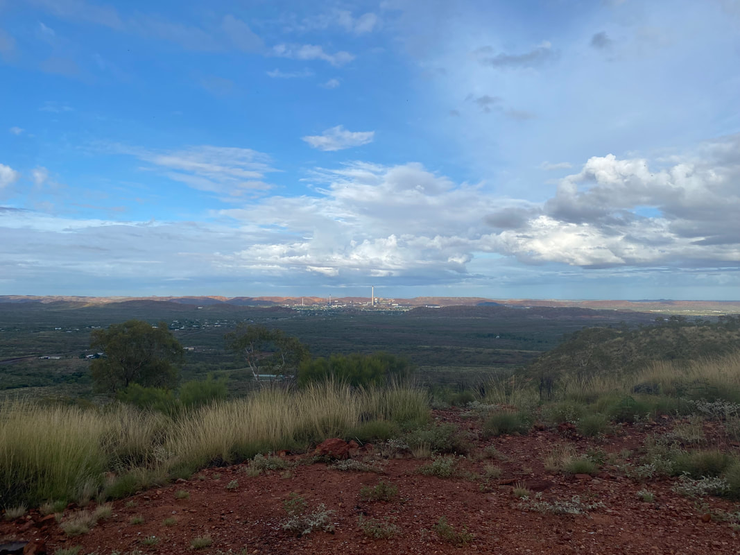
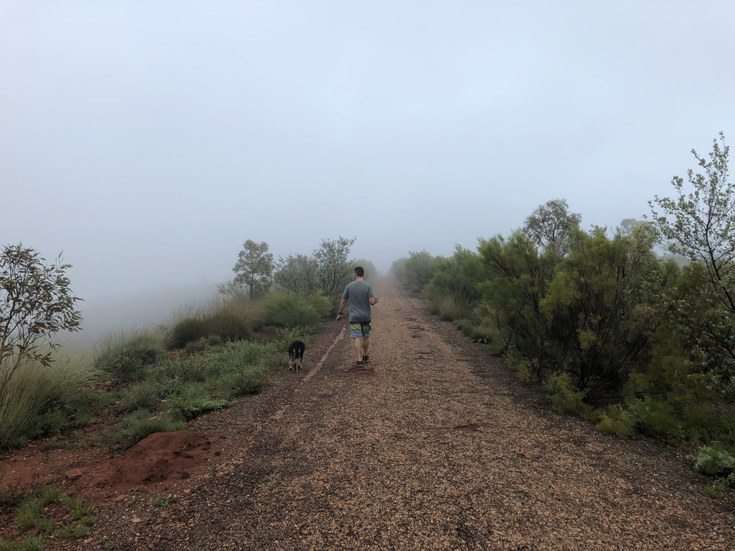
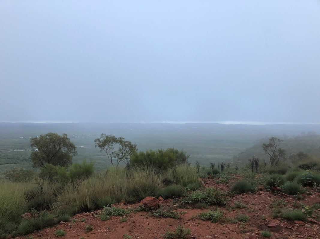
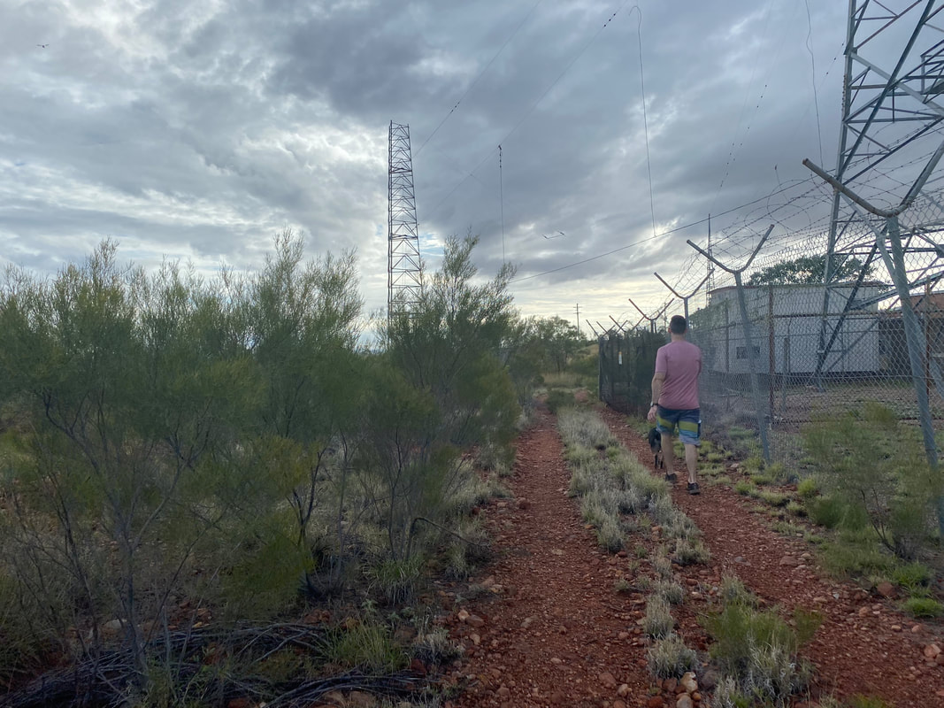
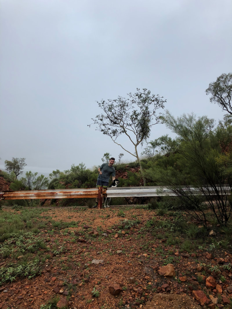
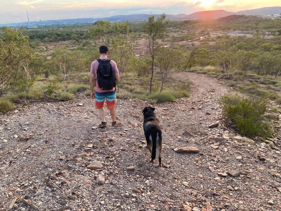
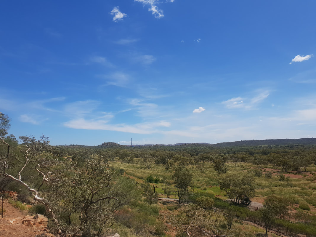
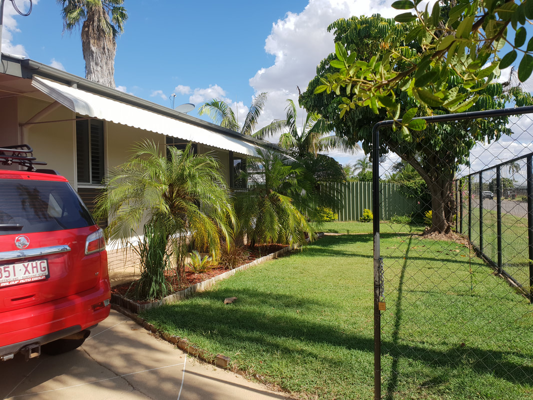
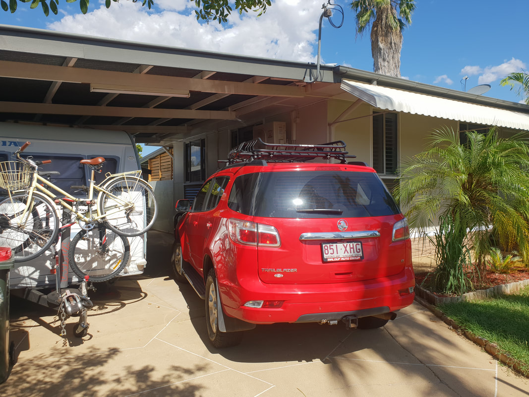
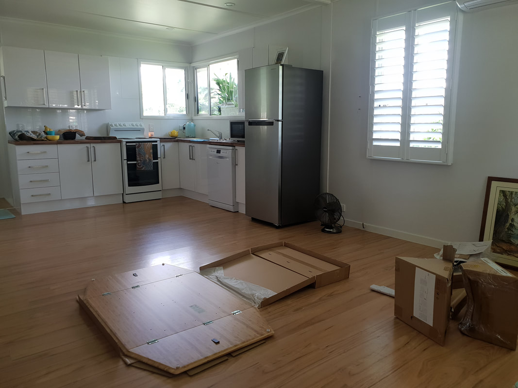
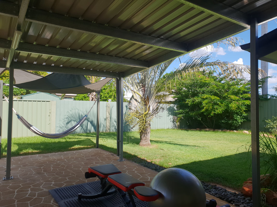
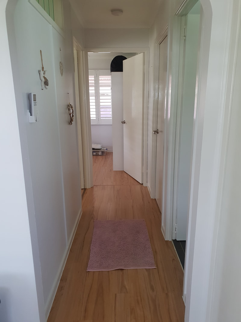
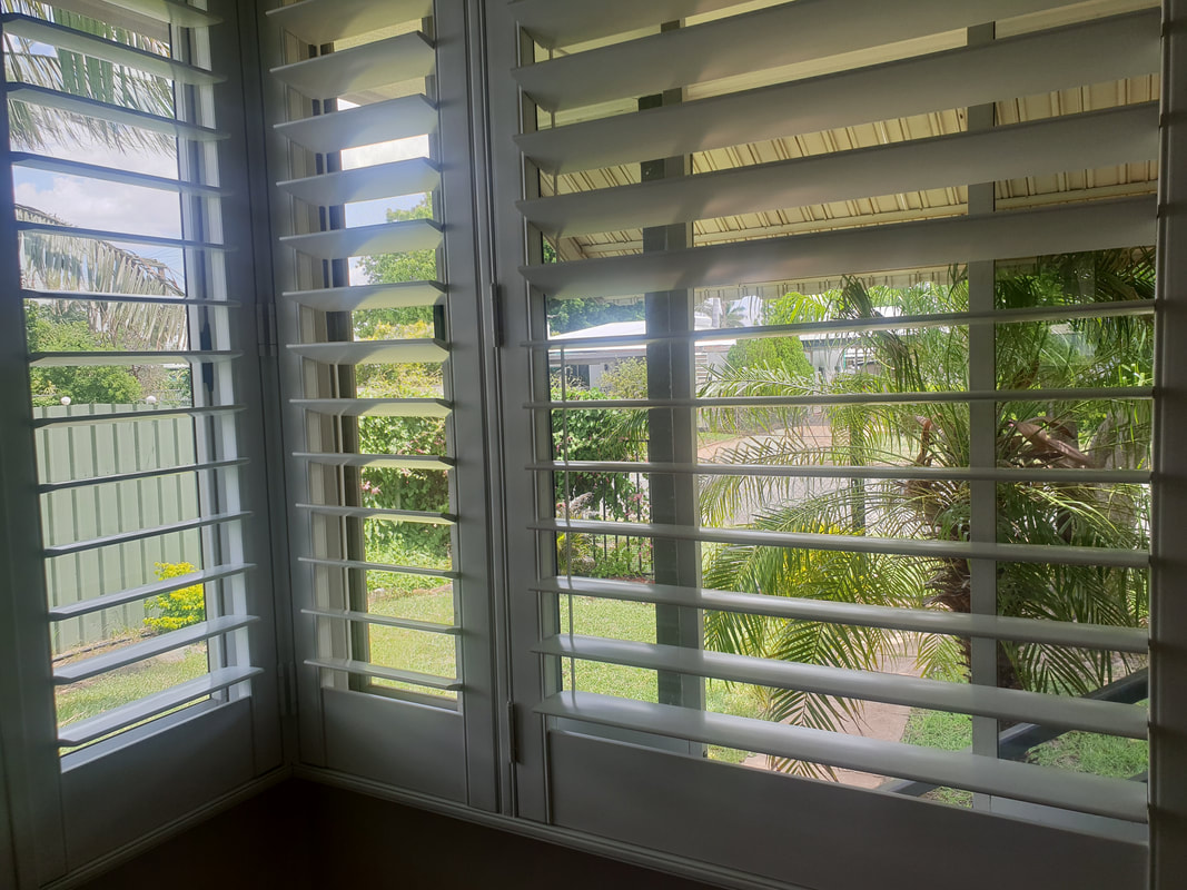
 Looking east towards Cloncurry  Looking north-east towards Kajabbi 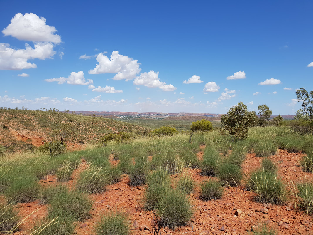 Looking west towards Mount Isa 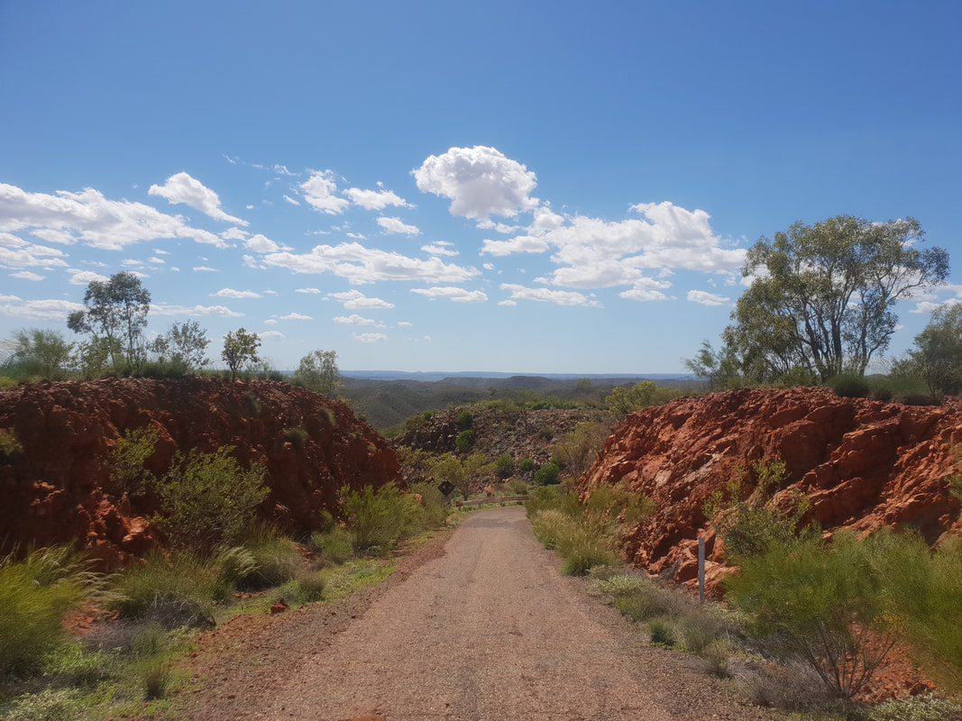 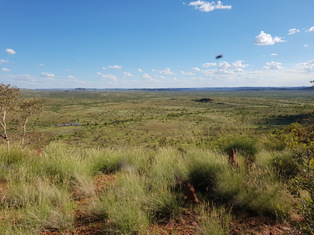 Classic outback image... with a fly and a road train 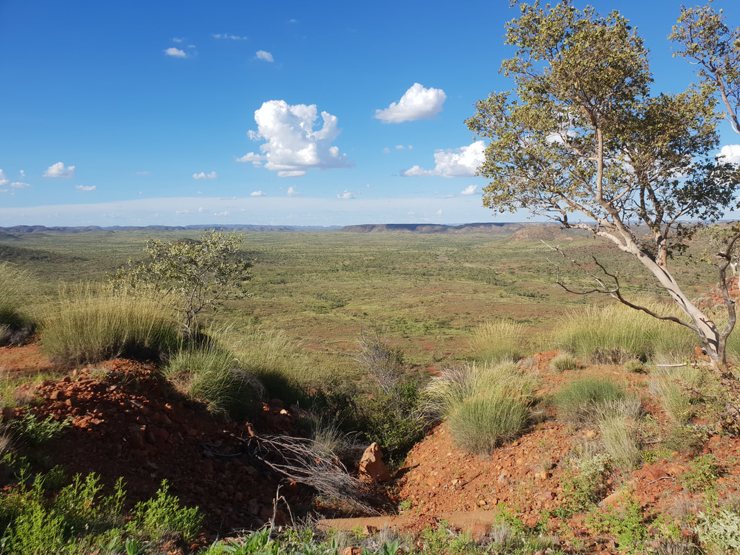 Mount Isa's Telstra Hill will always hold a special place in our hearts, check out some of our other visits by clicking on the button's below. After two years and two months living full-time in Florence the caravan, we decided to expand our footprint and move into a rental property in the Mount Isa suburb of Sunset. There was competition for the renovated property, but we successfully claimed the keys through offering a higher weekly rent. Moving from a caravan to a three-bedroom, one bathroom house in the suburbs was overwhelming, with new furniture to purchase and also exhilarating, with access to on-demand hot water from the tap. The sense of space was luxurious, and we fell in love with the garden, an oasis from the outback heat and the dust that emanated from the mine. There was even a covered space for Florence under the carport. I took the opportunity to use one of the bedrooms as a sewing room to continue making quilts and Shovel purchased some workout equipment for the outside patio area. With aspirations of living in Mount Isa for many years our attention soon turned from renting to purchasing and a place to call our own…. The search had begun.
  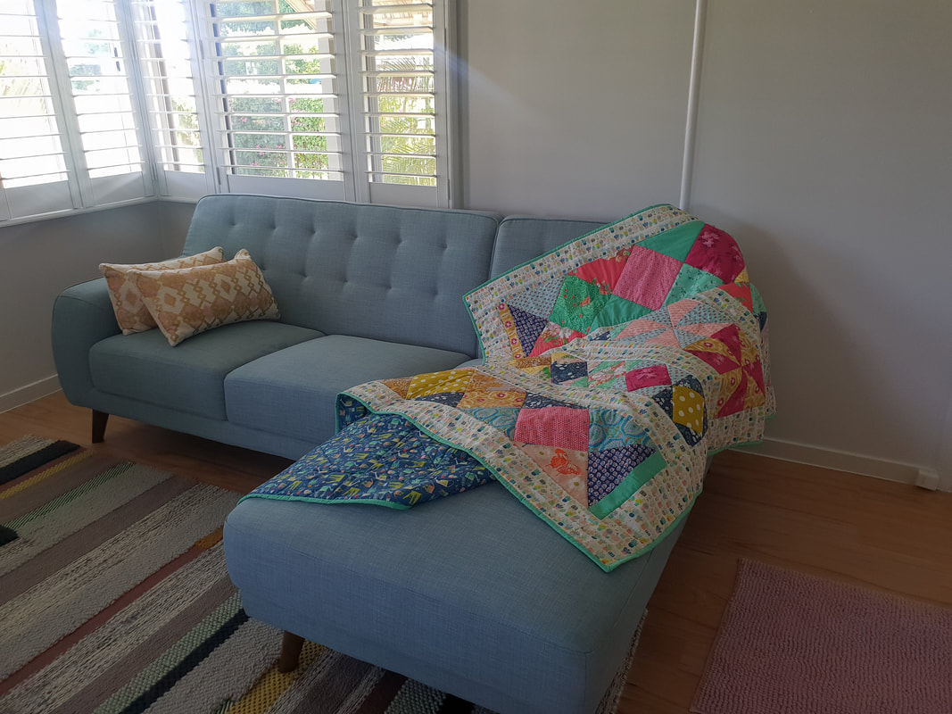 The finished quilt for Amy and Zak's wedding 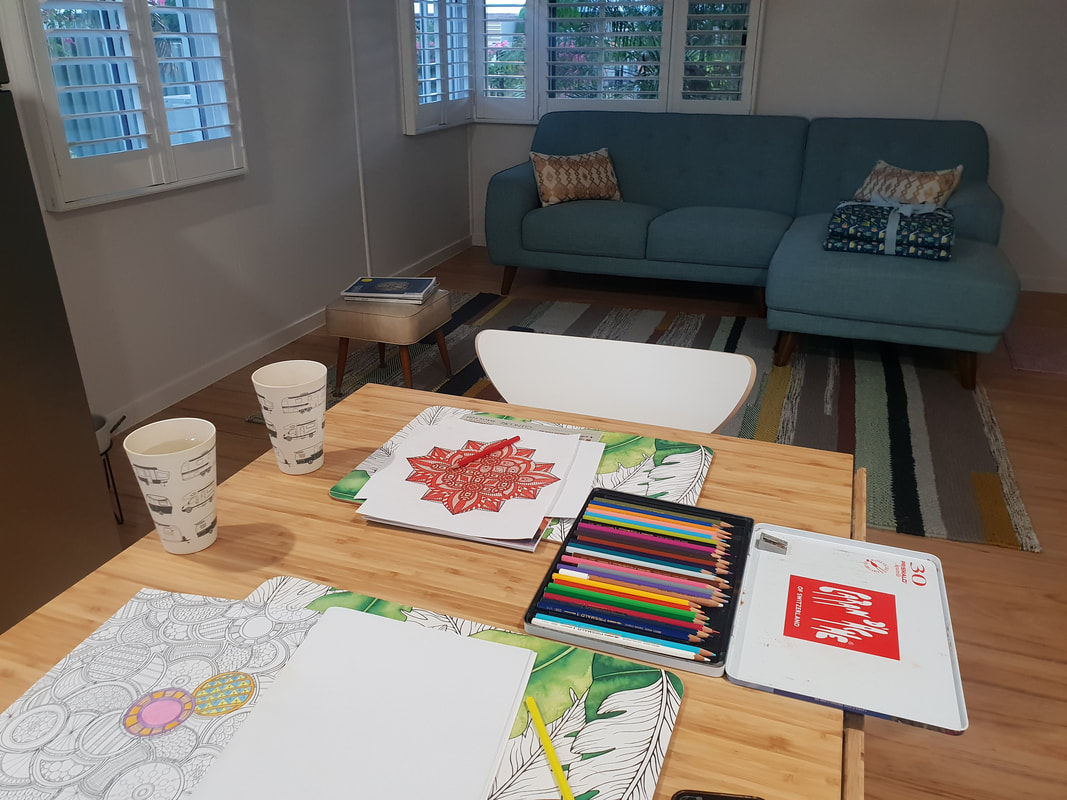 History suggests that when the suburb of Sunset was created in 1967, a planned housing estate built jointly by Mount Isa Mines and the government, locals were given the opportunity to submit street names. We are unsure who provided the name Fornax but can tell you “Fornax” is the Latin word for “furnace” (fitting given the town of Mount Isa exists because of a mine and subsequent smelters) and it is also the name of a southern constellation. The three brightest stars in the Fornax constellation are Alpha, Beta and Nu Fornacis, which form a flattened triangle facing south.
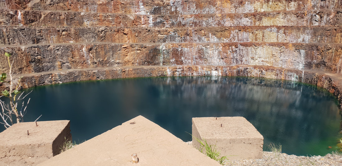 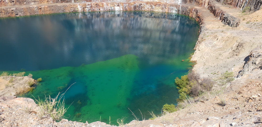
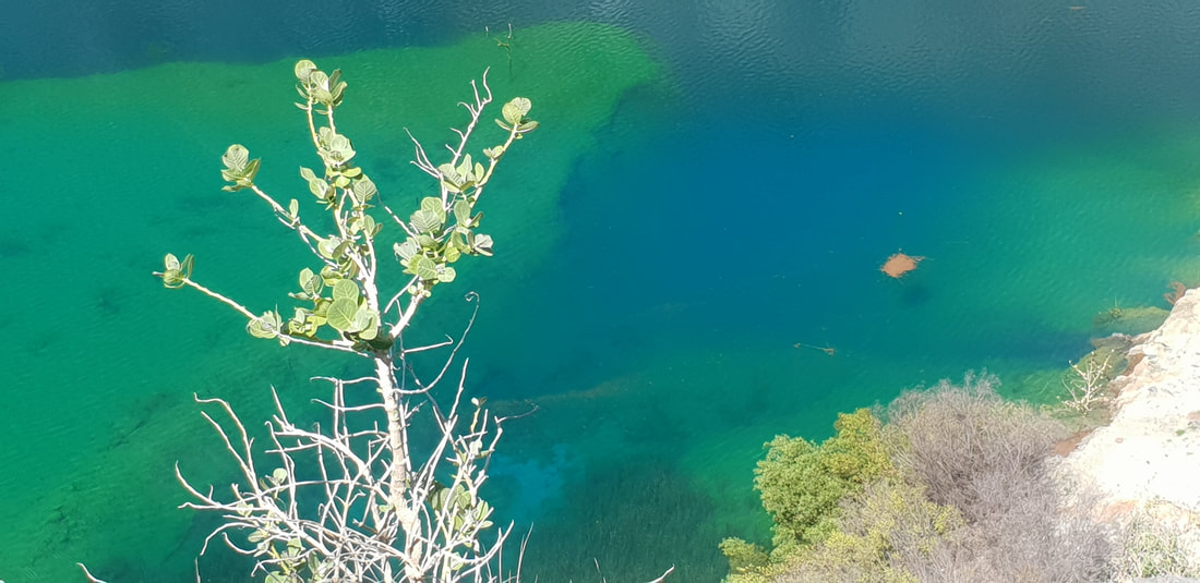
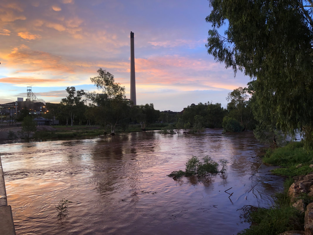
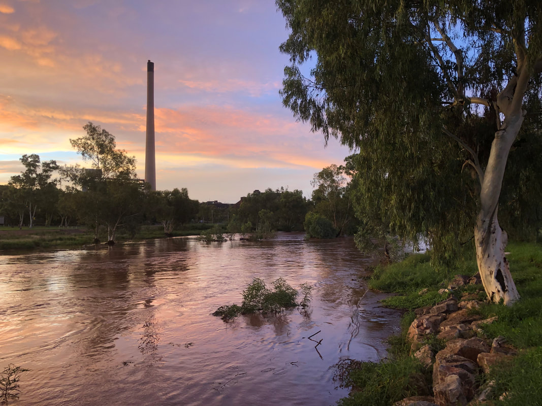
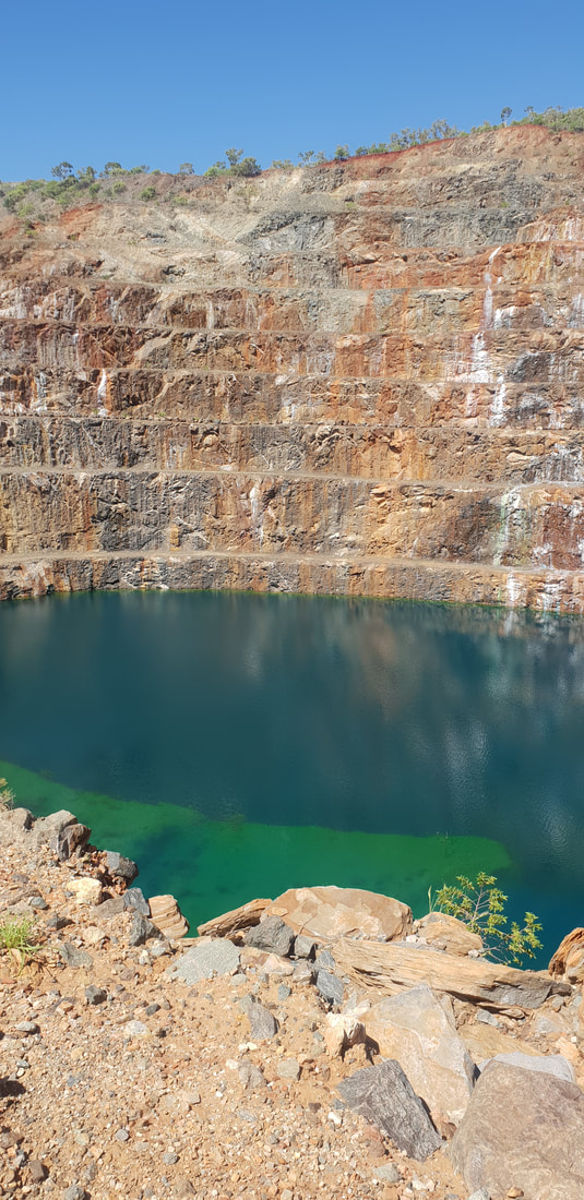
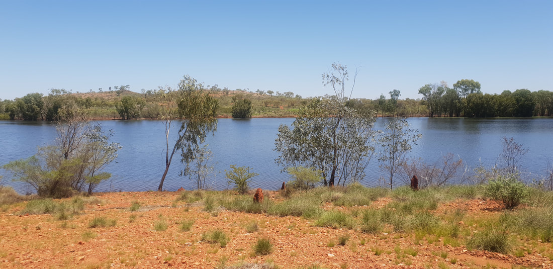
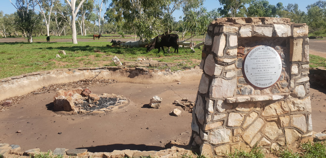 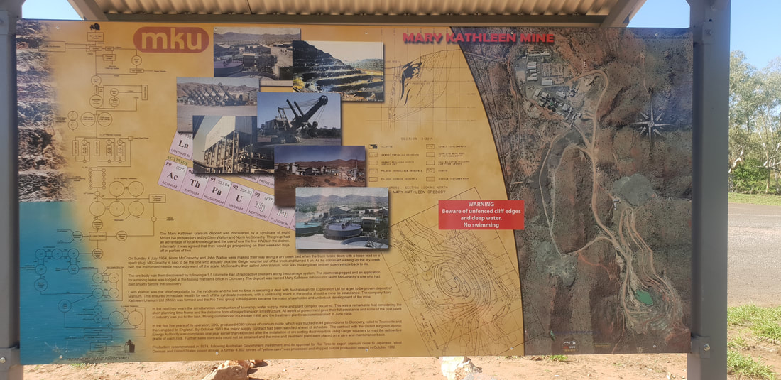 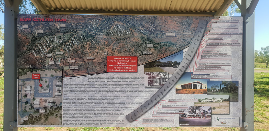 Since our last adventure in 2017 to the old uranium mining town of Mary Kathleen situated half way between Mount Isa and Cloncurry, there have been some significant improvements, such as signage and a new town plaque. The flooded open pit mine that appears turquoise in colour has become a viral Instagram sensation, with many making the pilgrimage to outback North-western Queensland just to add the mysterious “lake” to their "grids". This time for us however, the colour appeared less turquoise and more royal blue, similar to that seen at the Blue Lake in Mount Gambier in South Australia. According to an article published in 2016 by the North West Star, an enduring Mount Isa news provider, the “spectacular blue colour” is attributed to the minerals seeping from the mine walls; for instance, red rust colours are often associated with iron, whilst blue and green colours are attributed with copper. Despite the appeal, this is definitely not a place to swim, as a former uranium mine there is still a risk of radioactivity present at the site, but massively worth the effort to see it in person as photos never truly capture the genius loci of a place.
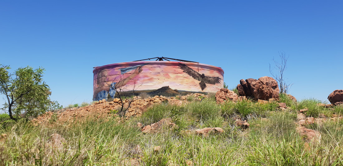
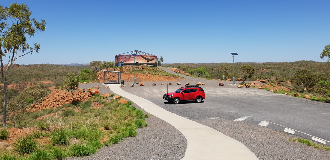
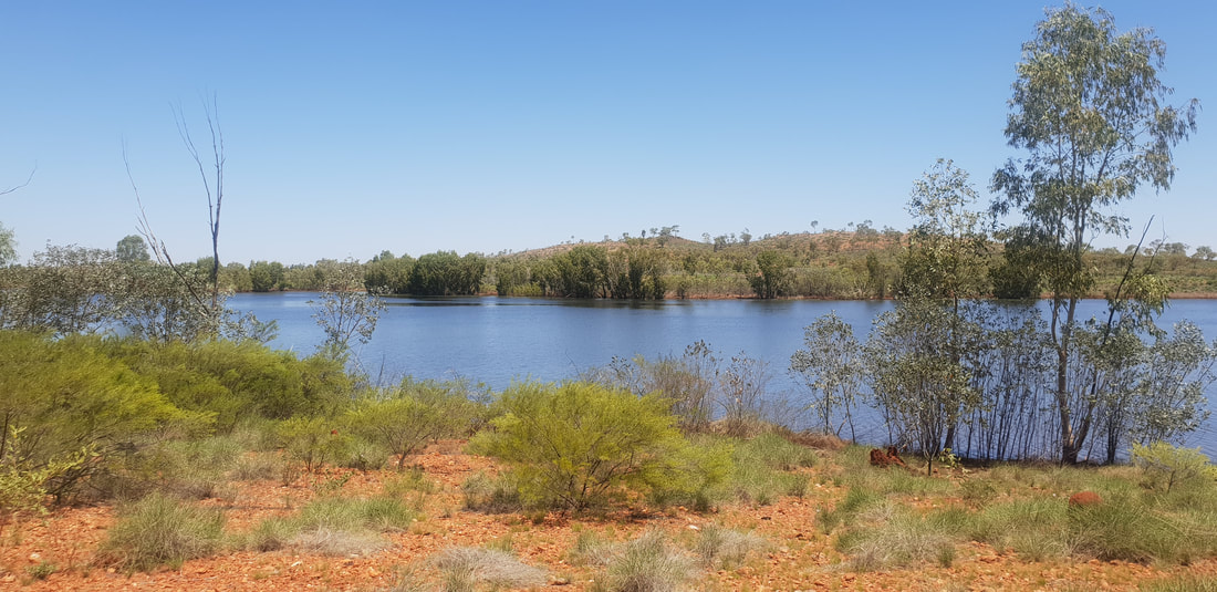
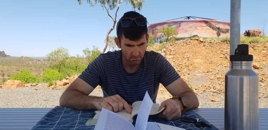
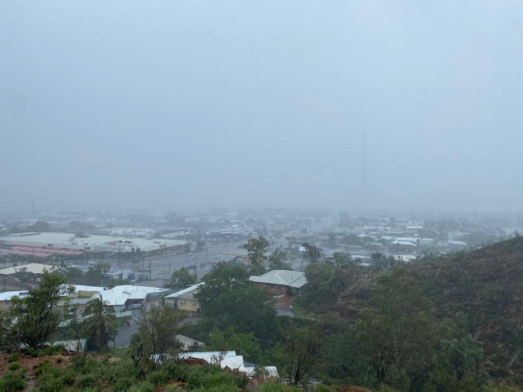
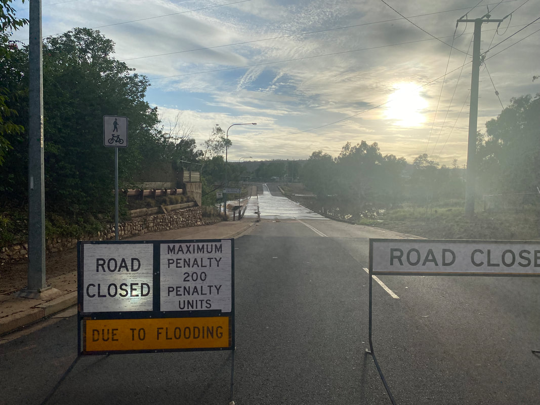
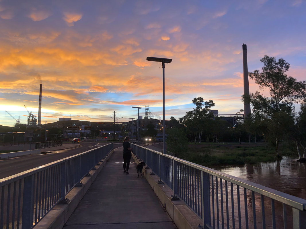
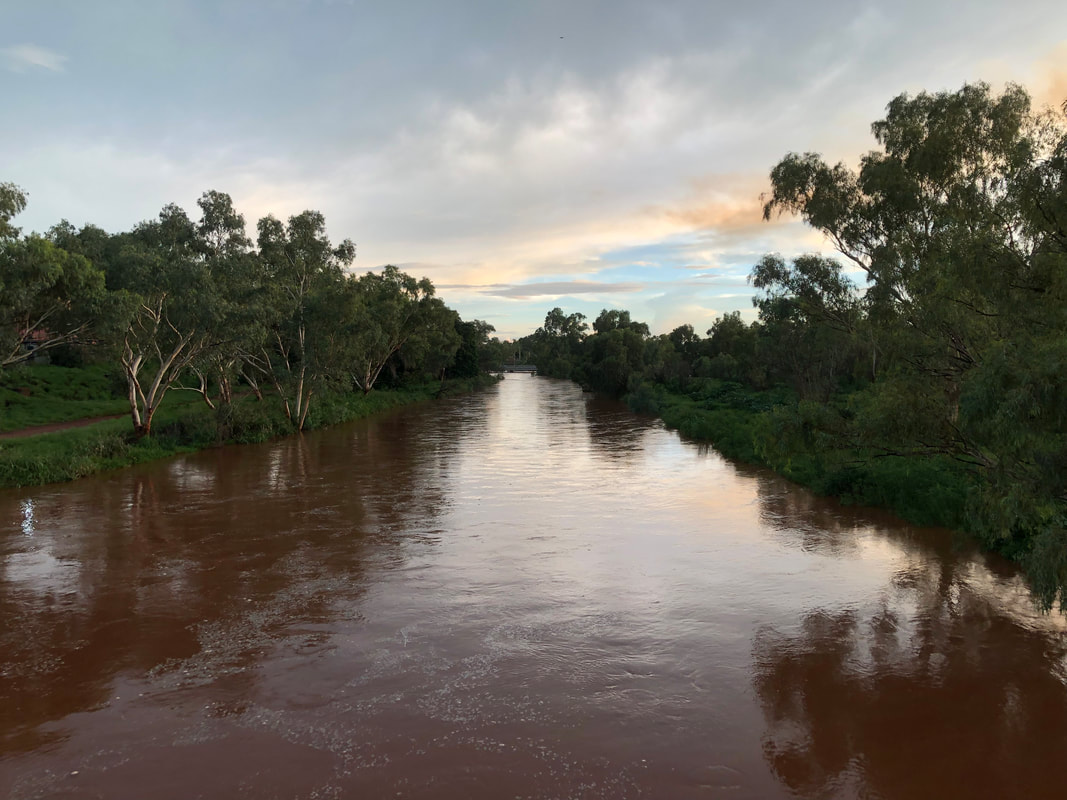
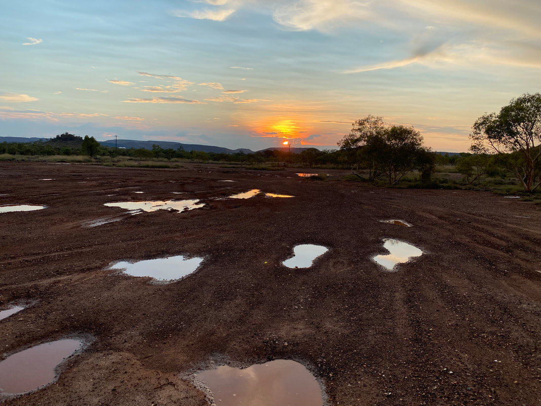
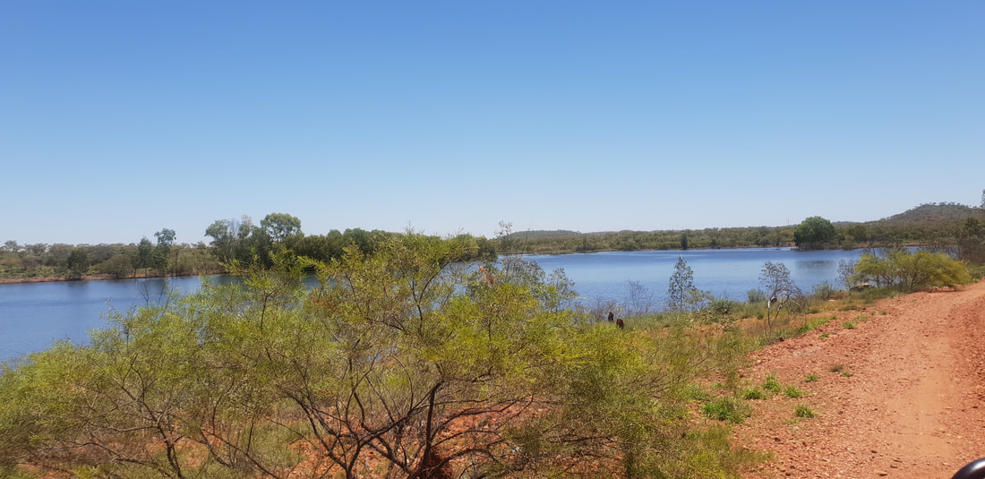
After the Major Flooding Event we took a drive 120kms east from Mount Isa through the Selwyn Ranges to Cloncurry and more specifically to the newly reinstated Chinaman Creek Dam Lookout now with a bitumen road and water tank art, which was completed in October 2018 by street artist, The Zookeeper. The mural features local Cloncurry children, Barrack a Mitakoodi dancer with the “Deadly Dancers” group and Brianna also a dancer with the same group who is depicted throwing a paper plane, a reference to Cloncurry as the birthplace of John Flynn’s 1928 Australian Inland Mission Aerial Medical Service, which later became the Royal Flying Doctors Service. Shovel and I read books and enjoyed the view of Chinaman Creek Dam, now a canvas of tonal greens since the heavy rains.
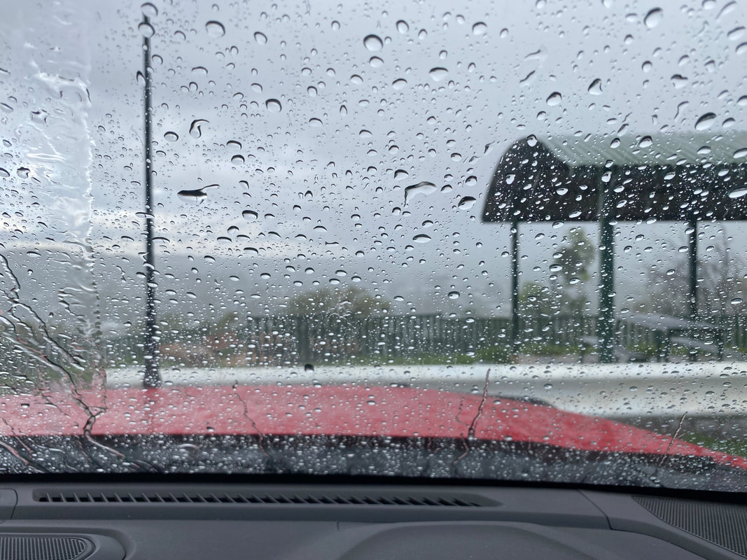
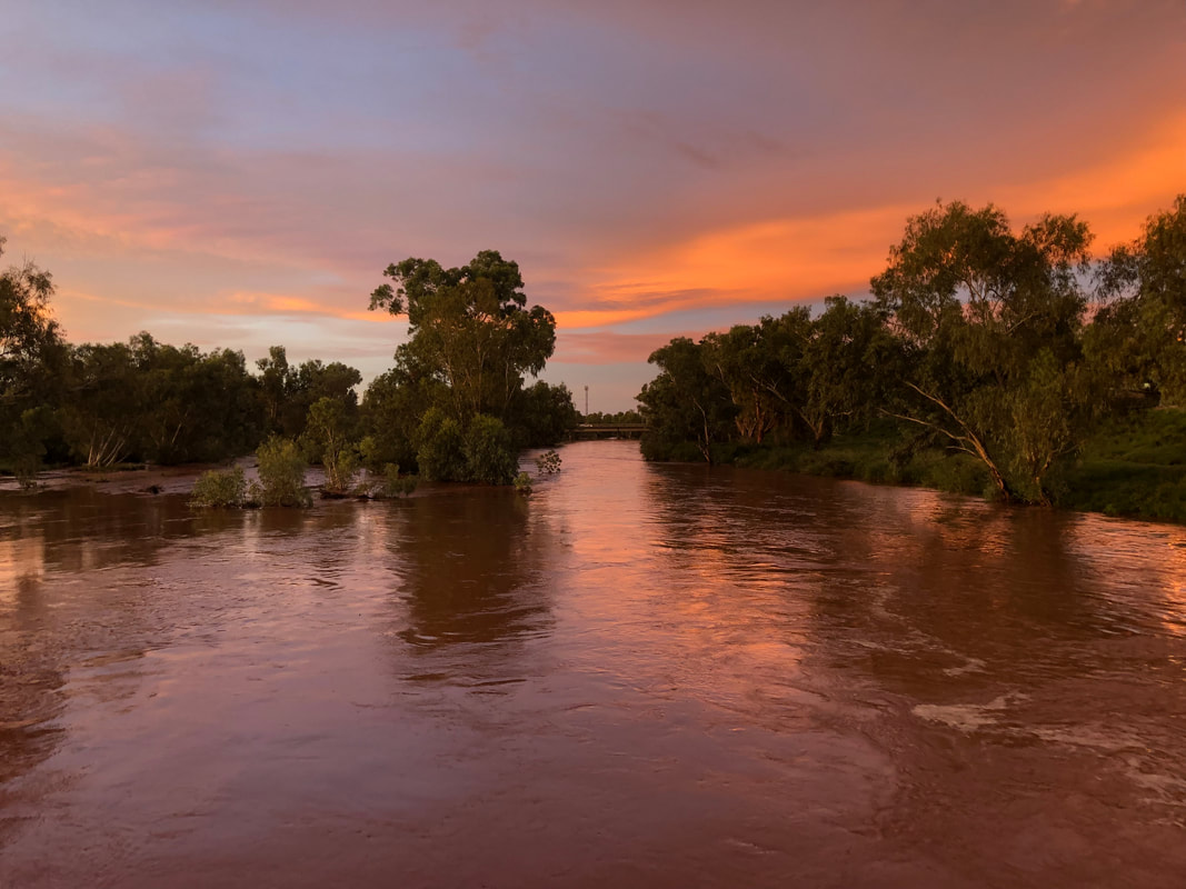
 Shovel in deep concentration... It's about 640kms from the Threeways Roadhouse to Mount Isa along the Barkly Highway and, we chose to smash it out in a day as Shovel had to start the ball rolling so to speak on his new job and I needed to find work. Honestly this stretch of road I believe was the hardest to drive in all of our travels around Australia and by this, I mean the oppressive remoteness… The terrain is flat, there are few if any trees and the view out of the car window is desolation, a dusty haze, yet despite the similarities to the Nullarbor Plain, the isolation hits different. On the Nullarbor (Eyre Highway) the trials and tribulations of life simply put, stop, and you relax into the journey feeling disconnected from time, it’s joyous, whimsical in fact. The Barkly Highway however, is foreboding and endless, devoid of landmarks, the sun’s rays intense through the car windscreen, there is no retreat. Despite the 130km speed limit we were towing Florence and were therefore restricted to 80kms, yes, feel our pain, the slow pace contributing to our feeling the straight flat stretch of tarmac would never end. But, it did end and we rolled into the Lake Moondarra Caravan Park later that day ready to begin our next chapter. 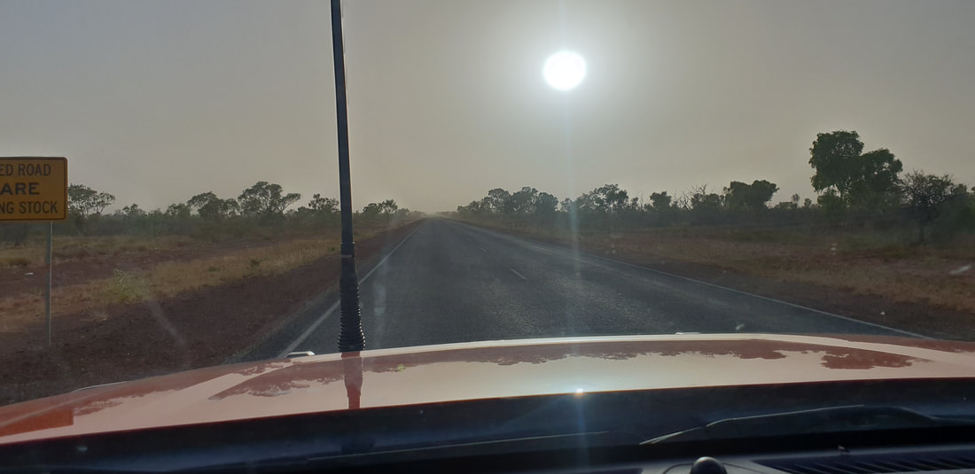 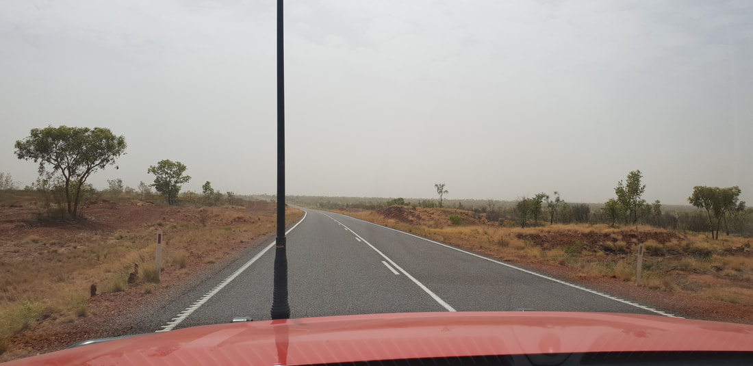 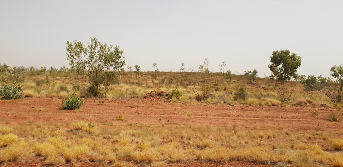 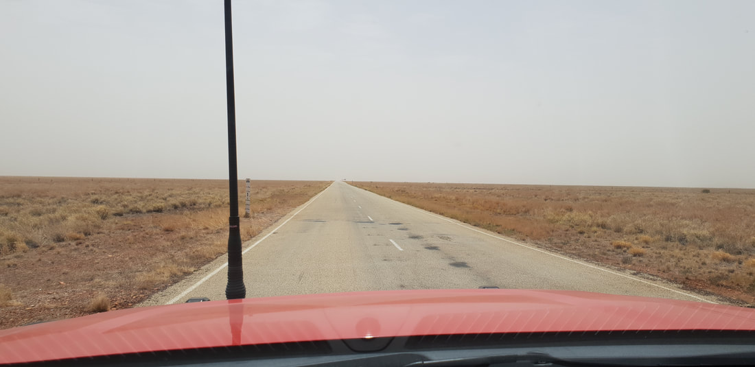 
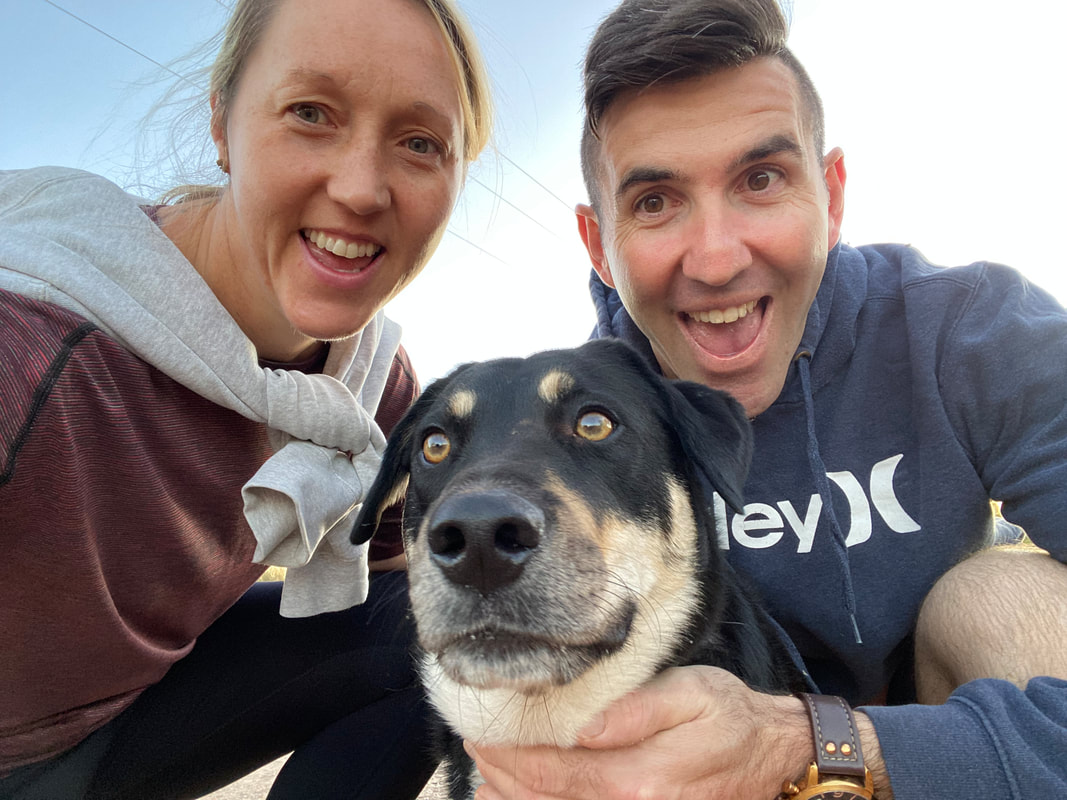
We were headed back to Mount Isa just over a year had passed since we’d left and to be honest I was feeling pumped, admittedly I’d missed the “quirk” of the remote desert outback boom town, and in my elation was throwing around wild predictions that I could live there for fifteen years… That was definitely not a typo I did actual believe we could survive in Mount Isa in outback Queensland, 900 odd kilometres from the coast for longer than a decade… and by we I actually mean me, Gumby. I had no concern the Shovel could do it, after all he was born and bred there, but the reality was and still is we are natural born drifters…
LarrimahDriving through or past Larrimah however you’d like to approach it is one of those ‘blink and you’ll miss it’ type of towns, located about 80kms south of Mataranka the town of twelve now eleven people has a pub (of course if does) and a house advertising homemade pies. On our way north to Darwin we pulled over in front of the pie selling house, lured by the audacious signs made from what appeared to be cardboard with hand painted letters that tempted us to try the ‘best pies in town’… The café/store/house known as Fran’s Devonshire Tea House, appeared however to be closed, so disappointed we got back into Cherry and continued our journey but not before noticing another sign advertising that the pub also sold the best pies in town. This sign erected on the other side of the road opposite the pie selling house was accompanied by a newer looking placard, a missing person sign. Intrigued we Googled ‘missing person Larrimah’ to discover the twelfth member of the tiny community had gone missing two years earlier in December 2017… dun dun duuun! Paddy Moriarty, aged 70 and his dog Kellie, were last seen leaving the Larrimah Hotel on a quad bike at dusk on 16th December 2017. They have not been seen since and their disappearance remains unsolved. In 2018 journalists Kylie Stevenson and Caroline Graham created a six-episode podcast called, Lost in Larrimah, which became the basis for a book, Larrimah, released in 2021. We downloaded the pod and listened intently to the intriguing story of this tiny town and the secrets harboured beneath. On our way south, as we passed back through Larrimah we didn’t attempt to stop again at Fran’s Devonshire Tea House, we expected it would again be closed and, upon listening to the pod suspected it hadn’t been opened for a while. A feud with Paddy her closest neighbour who lived directly opposite, had Fran pinned as the number one suspect in his disappearance, which sparked rumours her pies contained the meat of the missing man! 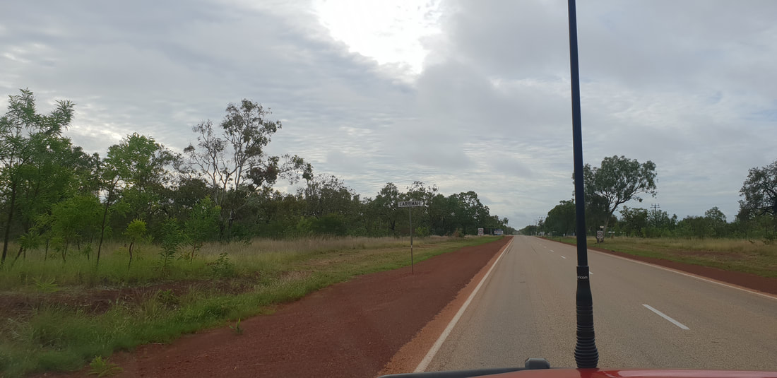 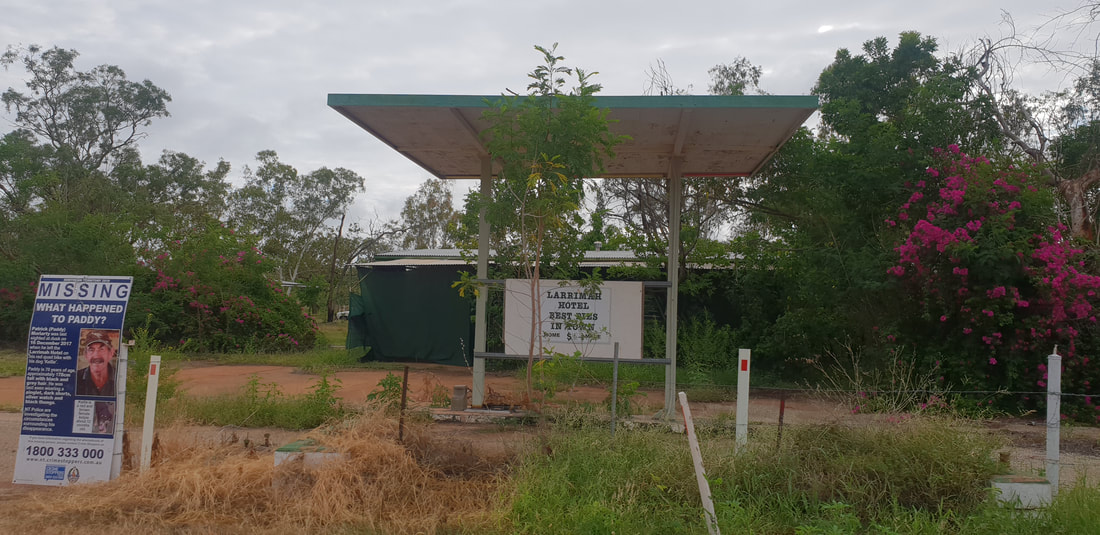  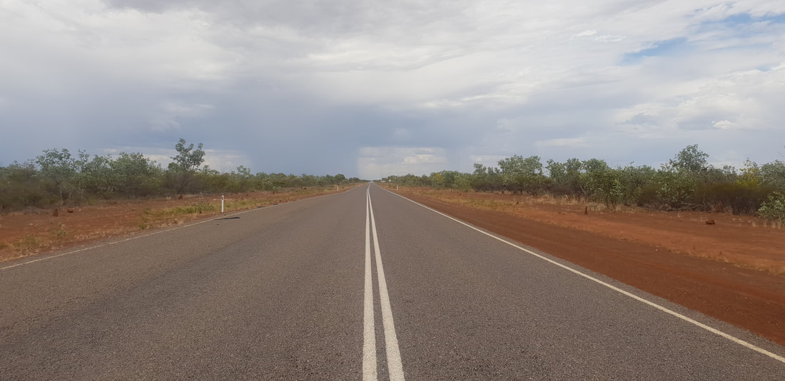 Three Ways Roadhouse |
The JourneyChoose Curiosity The Catalogue
November 2023
The Tags
All
|


 RSS Feed
