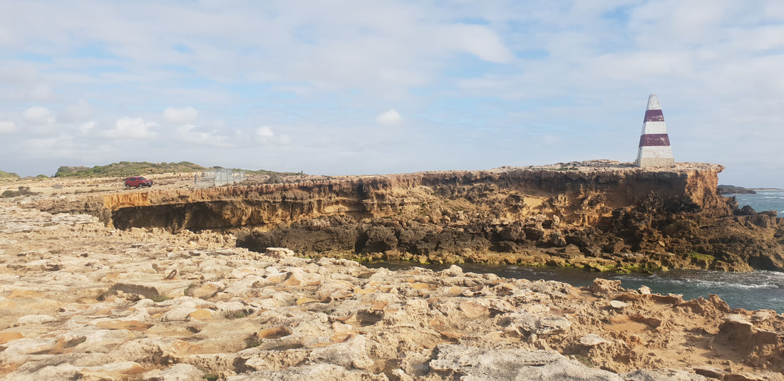
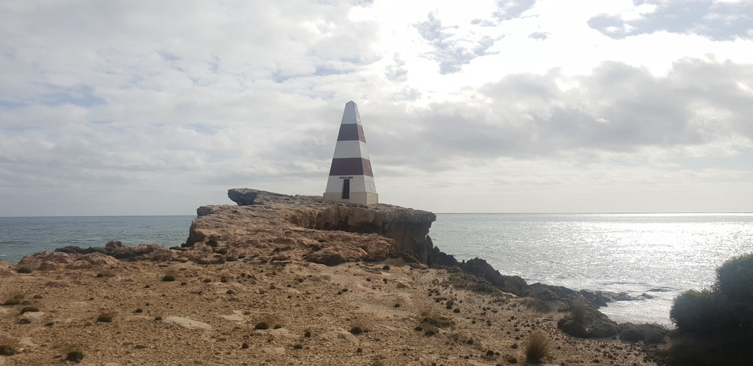
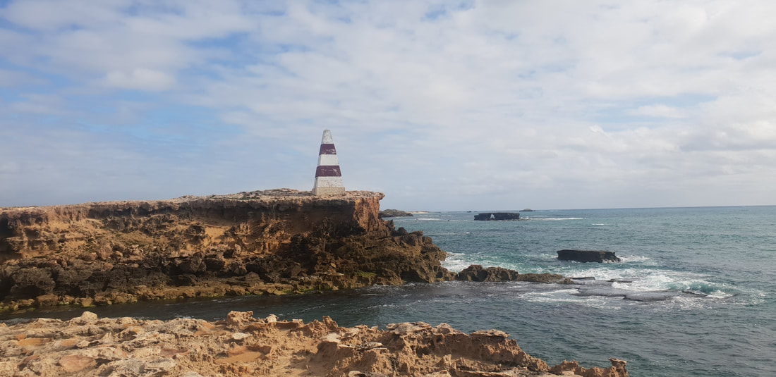
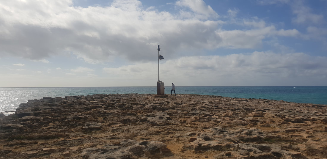
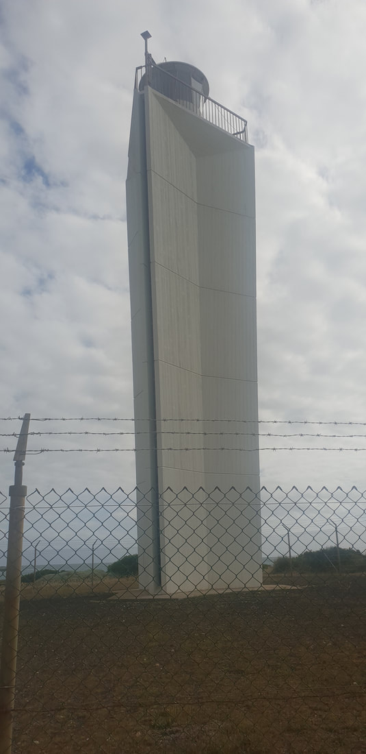
The Cape Dombey Obelisk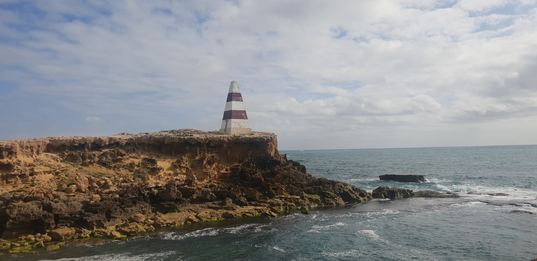
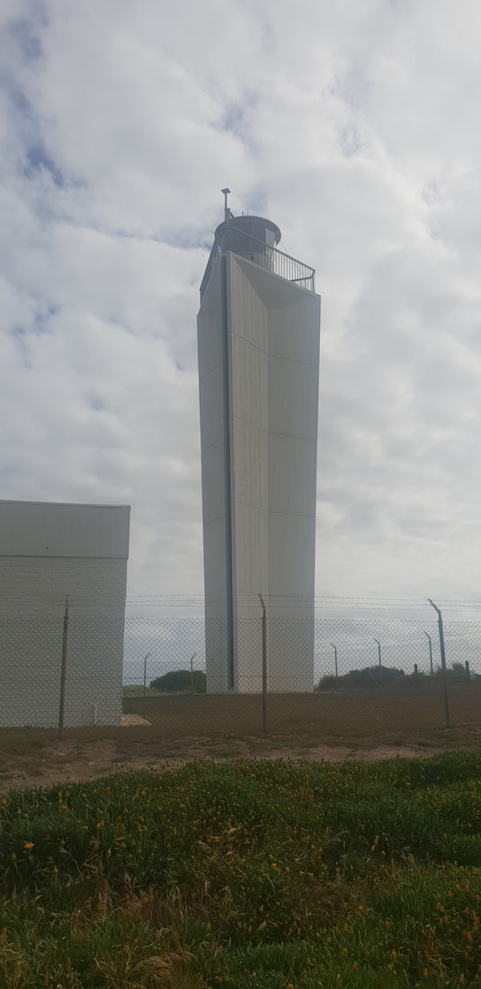
The Obelisk now over 160 years old, was last painted in 2002 and at this stage will not be painted again, as the job has become too risky and expensive; one firm in 2015 quoting $100k. The scaffolding alone was quoted at $58k. When it was last painted in 2002 the job only cost the council $3,500. But since then the point on which the Obelisk stands has become incredibly unstable with the council expecting the Obelisk to topple into the ocean at anytime. Needless to say there is no access to the Obelisk and can only be viewed from a distance. It's a fascinating structure that has played a big part in the Limestone Coast's maritime history. The lighthouse was built in 1972 to replace the Obelisk as a navigational device and to replace the lighthouse at Cape Jaffa near Kingston, about 50 kilometres north of Robe.
The Lighthouse
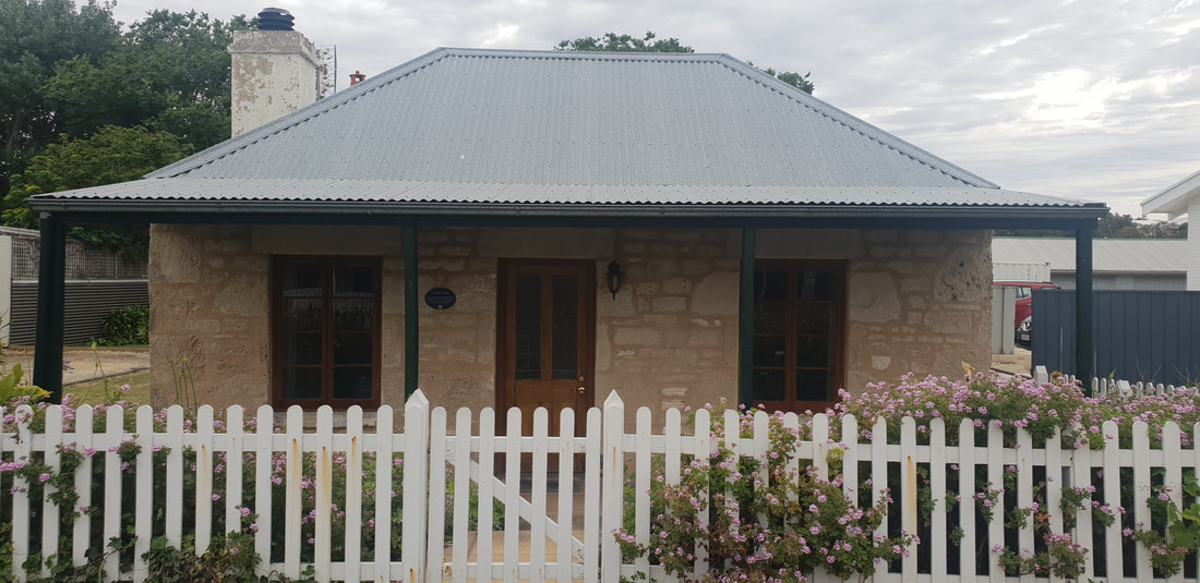
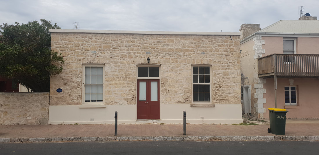
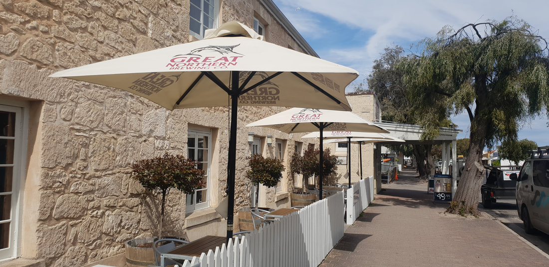
The Town
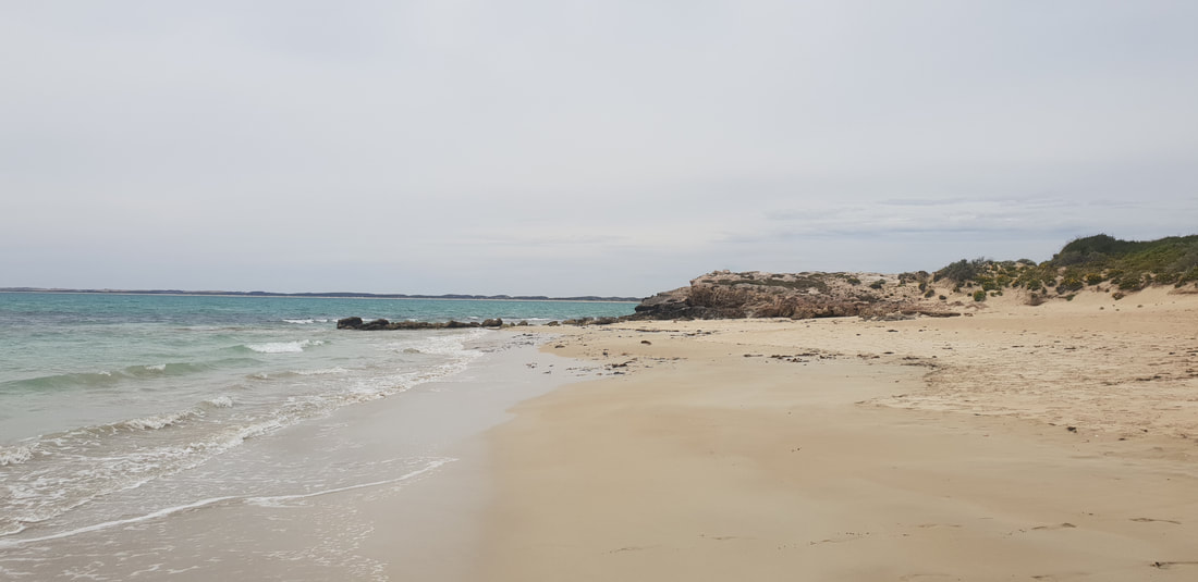
By 1859 Robe had become the second busiest port in South Australia, second to Port Adelaide. South Australian Governor Frederick Holt Robe choose Robe as the site of a port and settled the town in 1846. The region was first recorded as being sighted by French explorer, Nicolas Baudin in 1802, naming the bay, Guichen Bay. During the Gold Rush era in the 1850's the Victorian Government legislated a new £10 tax on persons entering Victoria with the intention of heading to the goldfields in Bendigo and Ballarat. Subsequently, Chinese migrants made their way to the newly established port town of Robe and opted to walk the 300-400 kilometres to the goldfields instead of pay the tax. During this time more than 15,000 Chinese descended upon Robe. Since the early 1900's Robe has predominately been a tourist and fishing town, retaining many of the original limestone buildings and selling fresh lobster to holiday makers. Escape.com.au listed Robe's Long Beach as the most spectacular beach in South Australia. The Beach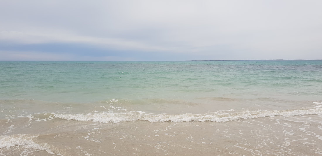
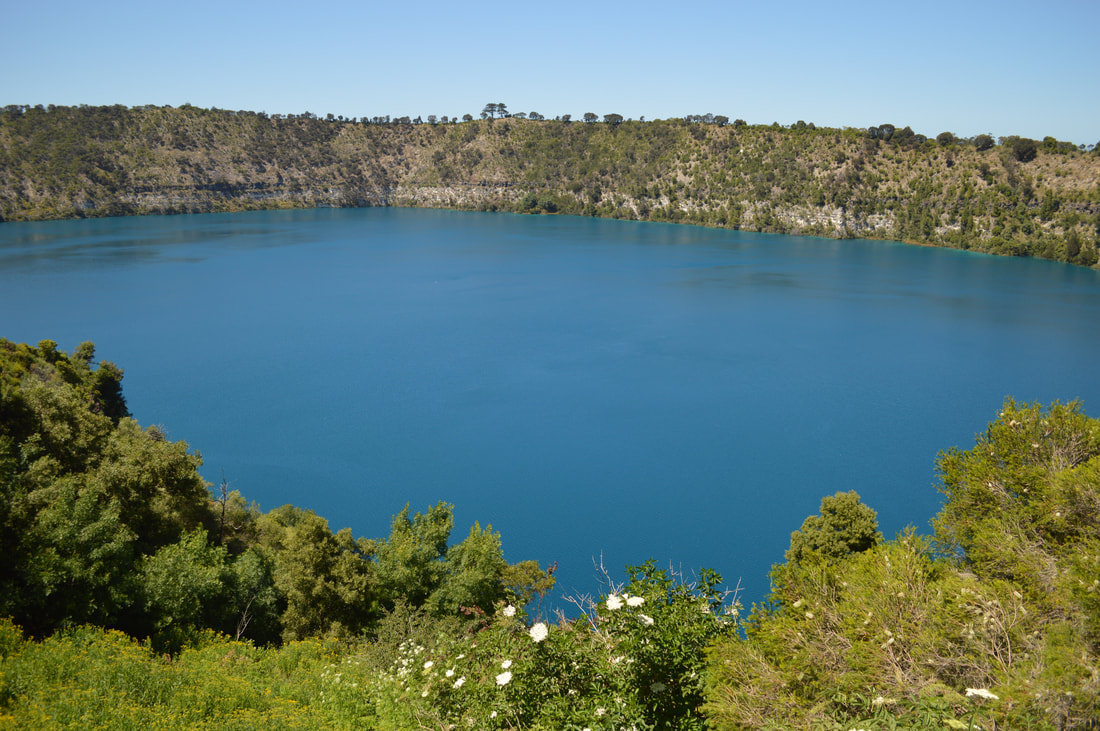
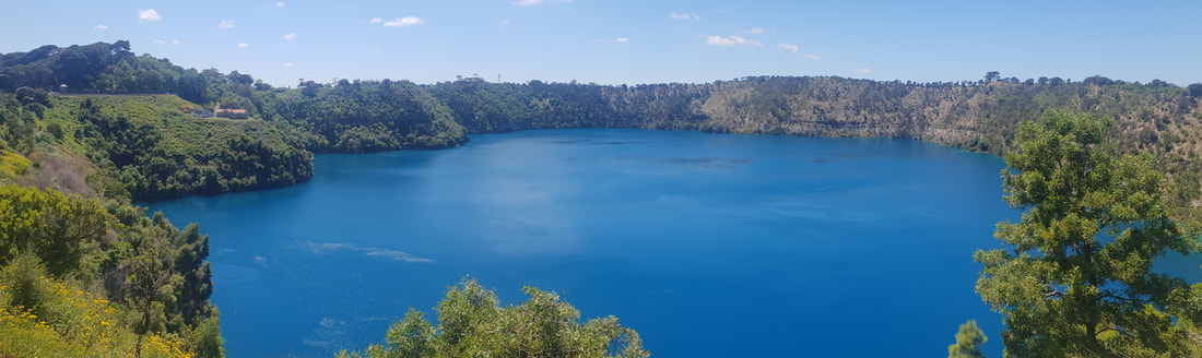
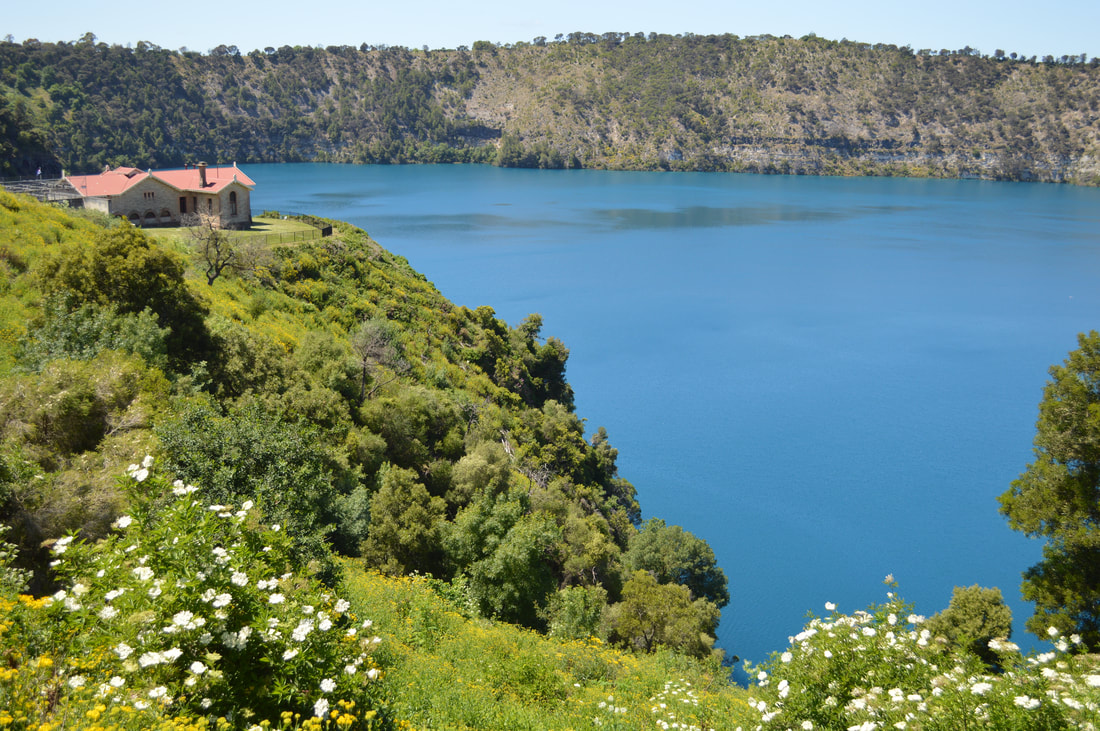
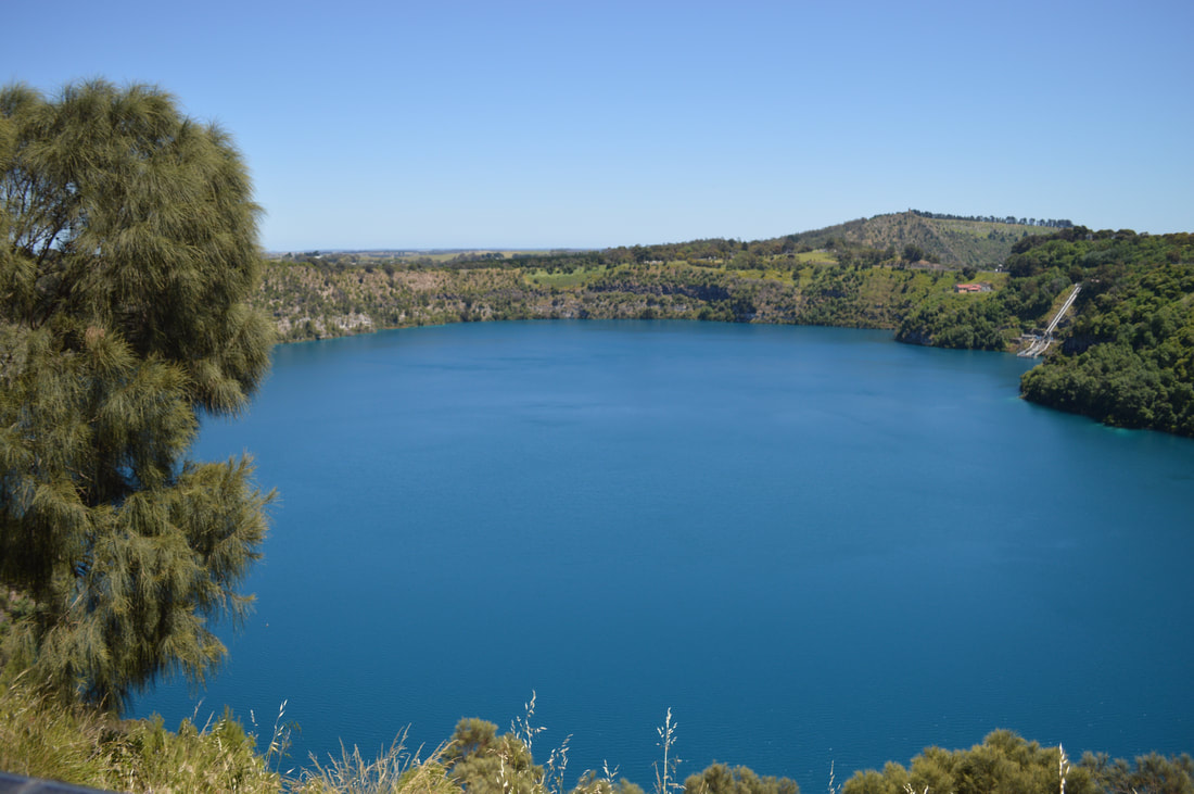
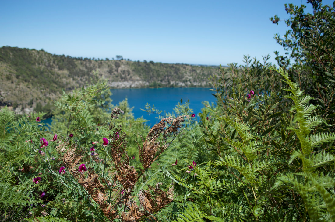
Blue LakeAs far as we can learn no one exactly knows why the blue lake in Mount Gambier turns blue, apparently it's only this consistently rich cobalt blue colour during the months of November and December, so we've timed our visit coincidently as during the other months the lake appears apparently dark grey in colour. At it's deepest point this volcanic crater lake plummets about 200 metres and is on average about 80 metres in depth. This is the town's water supply and is of a high quality and purity. The colour reminded us of the Mary Kathleen mine, an old abandoned uranium mine between Mount Isa and Cloncurry that is filled with water very similar in colour to the blue lake in Mount Gambier. Although the purity I'm sure wouldn't be of the same quality... We ventured around the 3.8 kilometre circumference of the lake taking in the gorgeous blue from every angle and were thankful to feel the sun's rays.
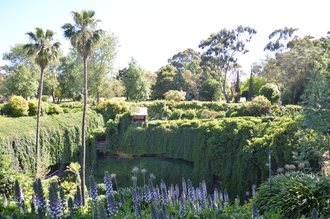
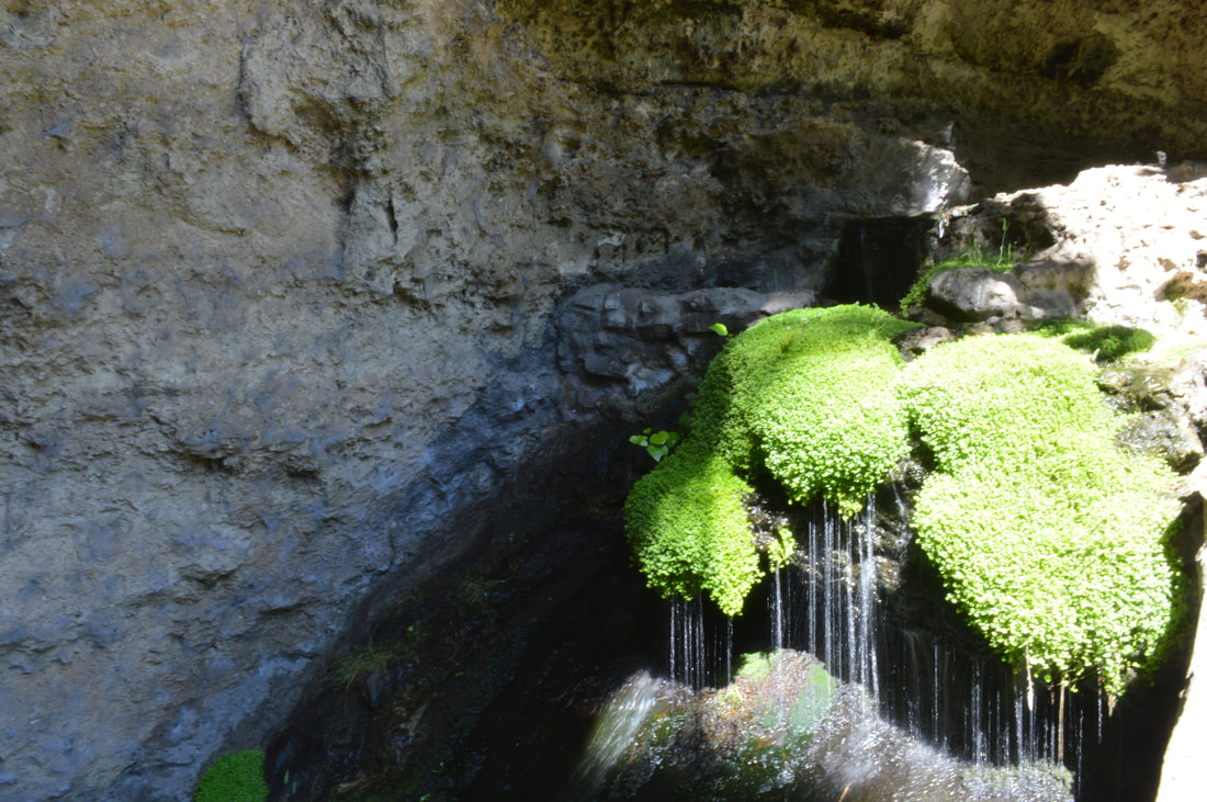
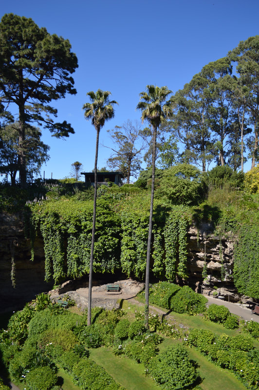
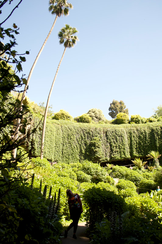
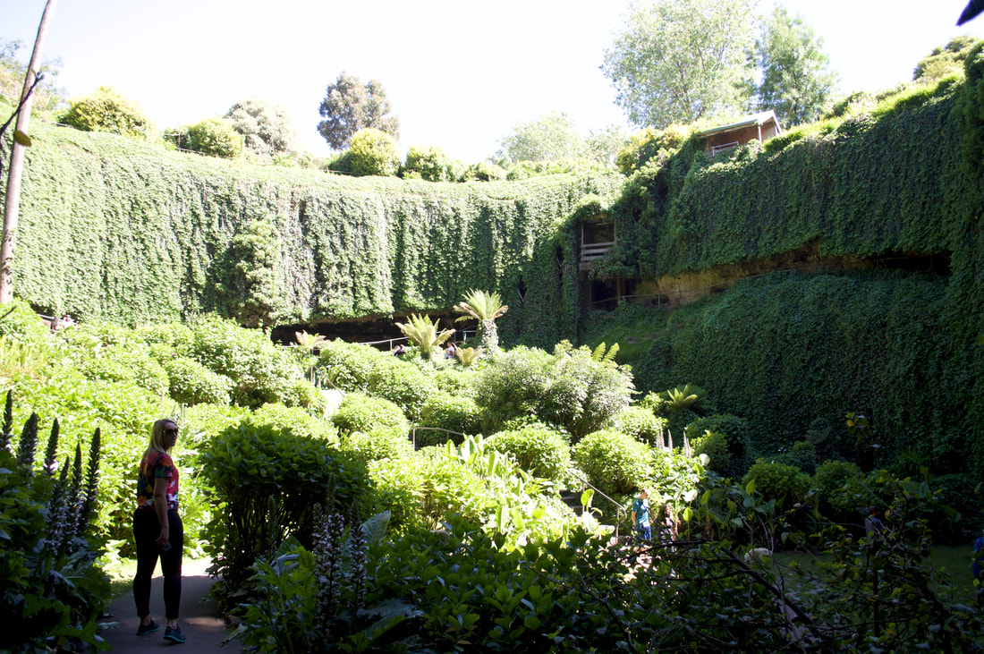
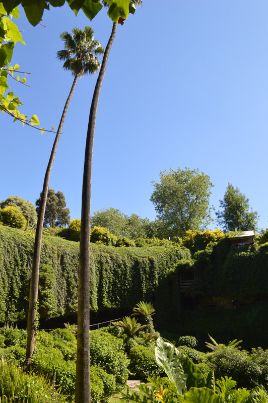
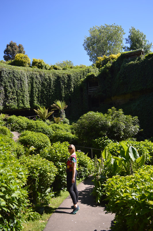
Umpherston SinkholeThis sunken garden was created in 1886 by the then owner of the land, James Umpherston in a sink hole. There was a residence on site, however this was demolished in 1964 after the Department of Woods and Forestry purchased the site constructing a timber mill behind the garden on the site of residence. The Mount Gambier council now maintain the garden as a tourist attraction.
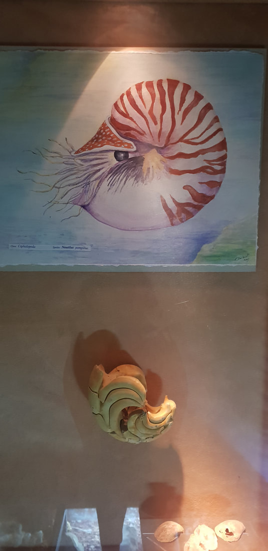
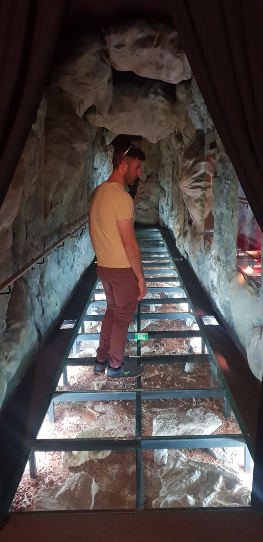
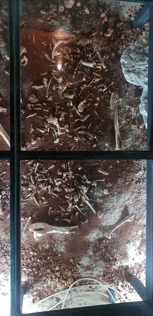
Lady Nelson Visitor Centre
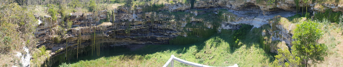
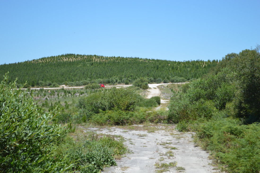
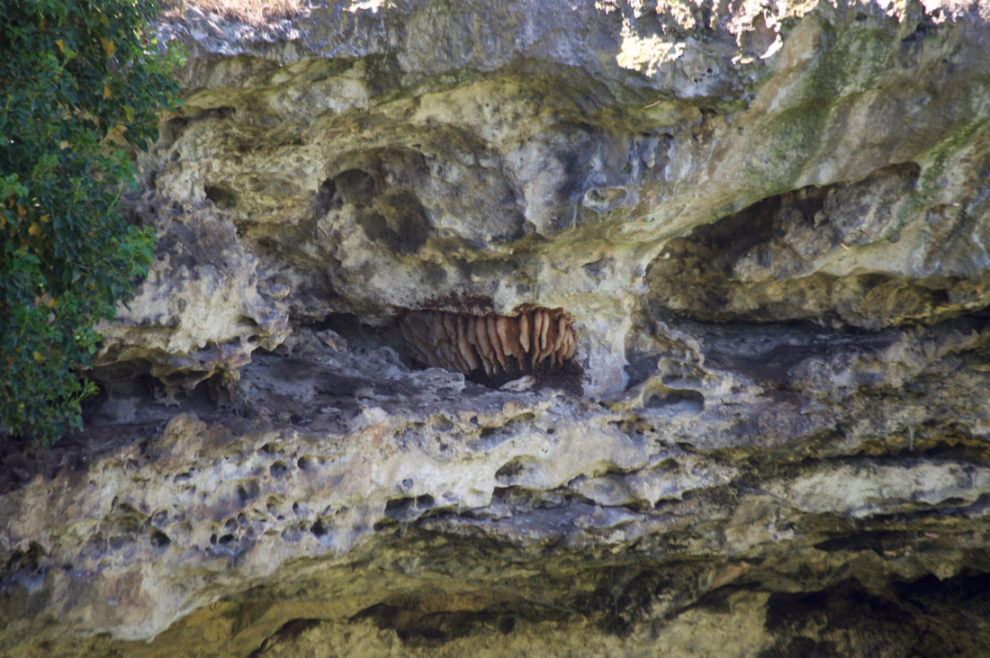
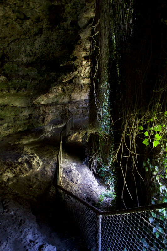
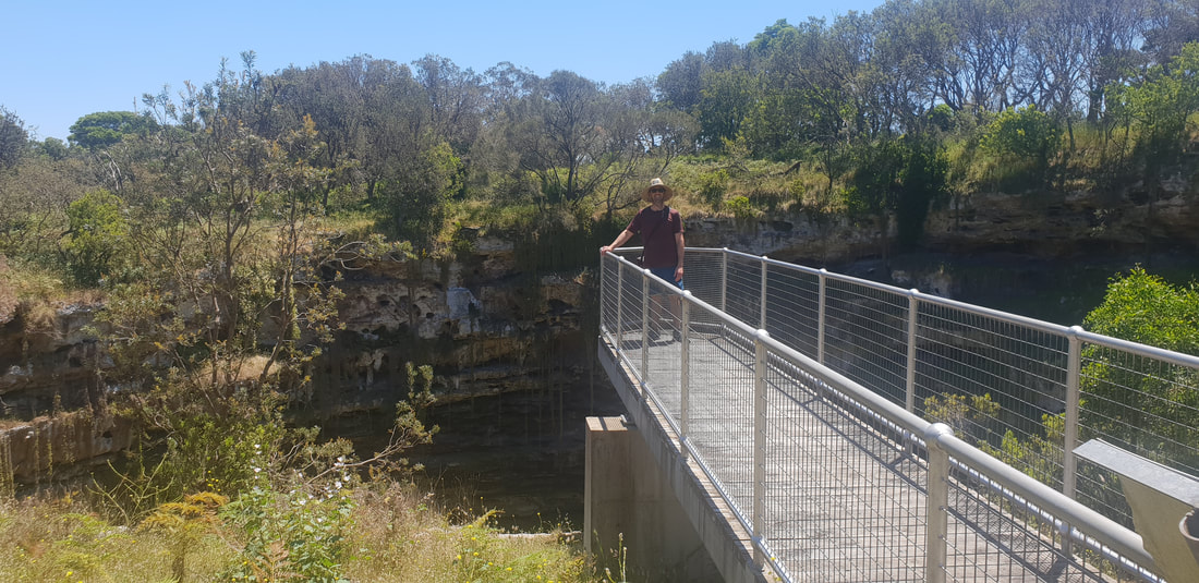
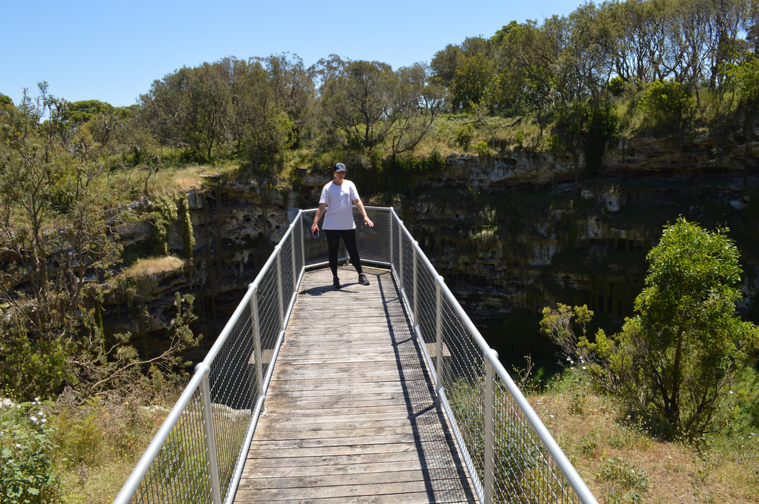
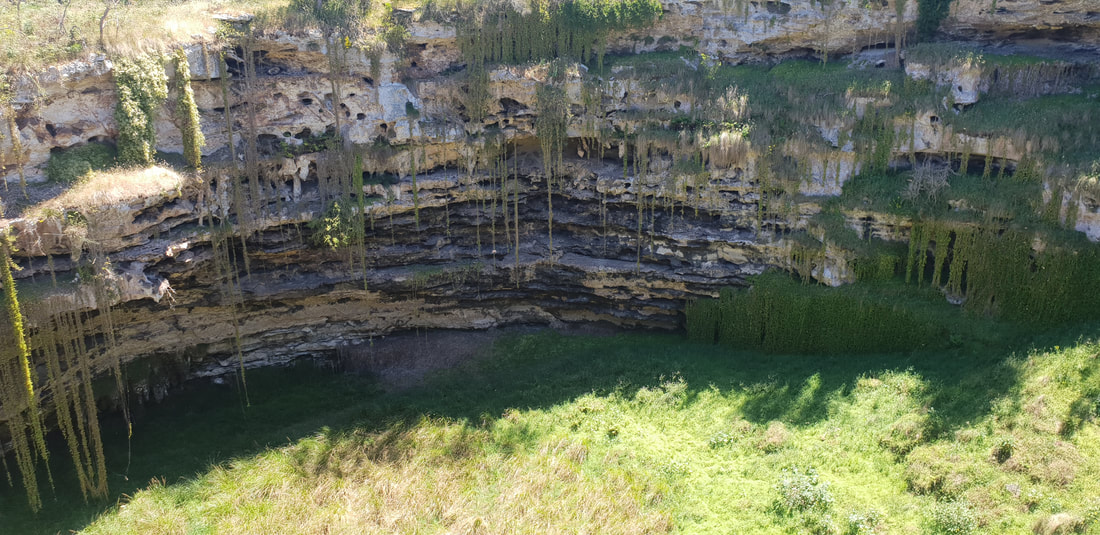
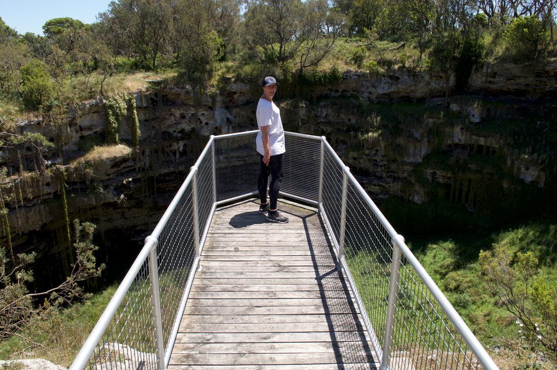
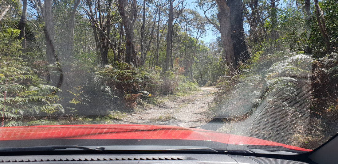
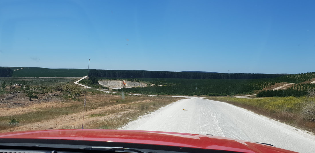
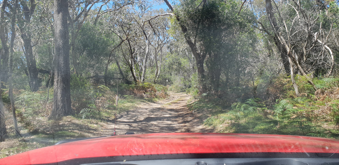
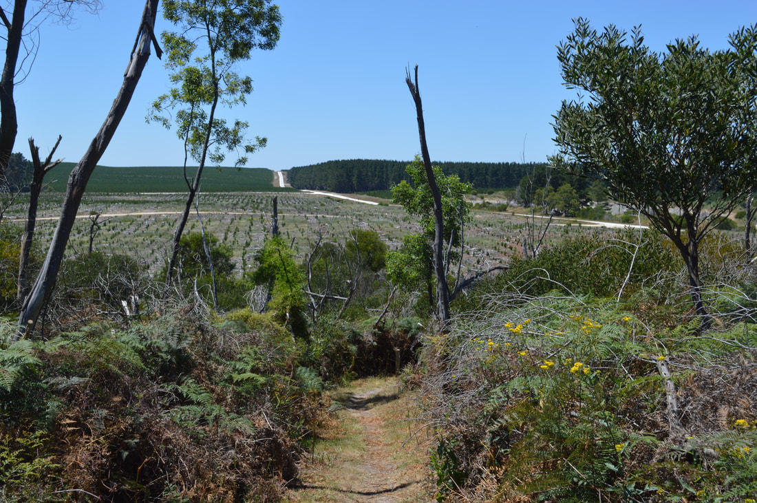
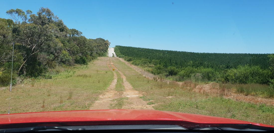
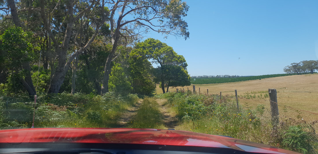
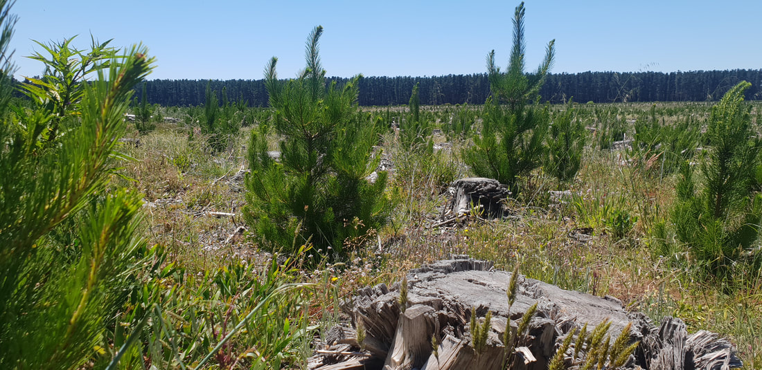
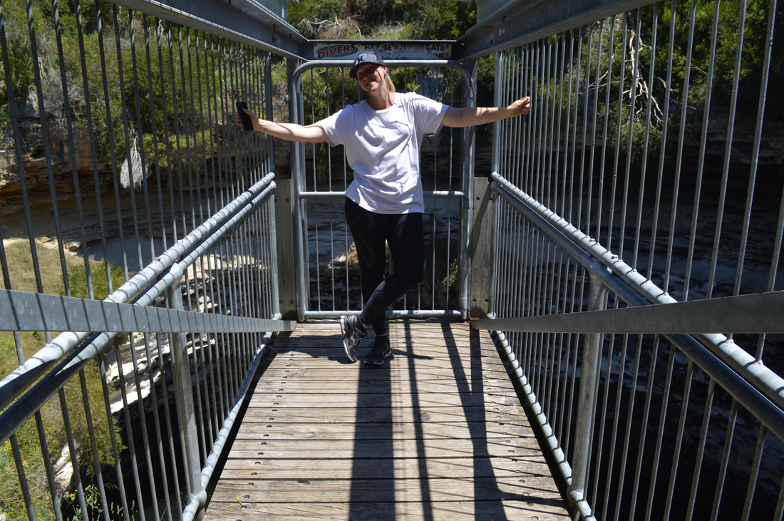
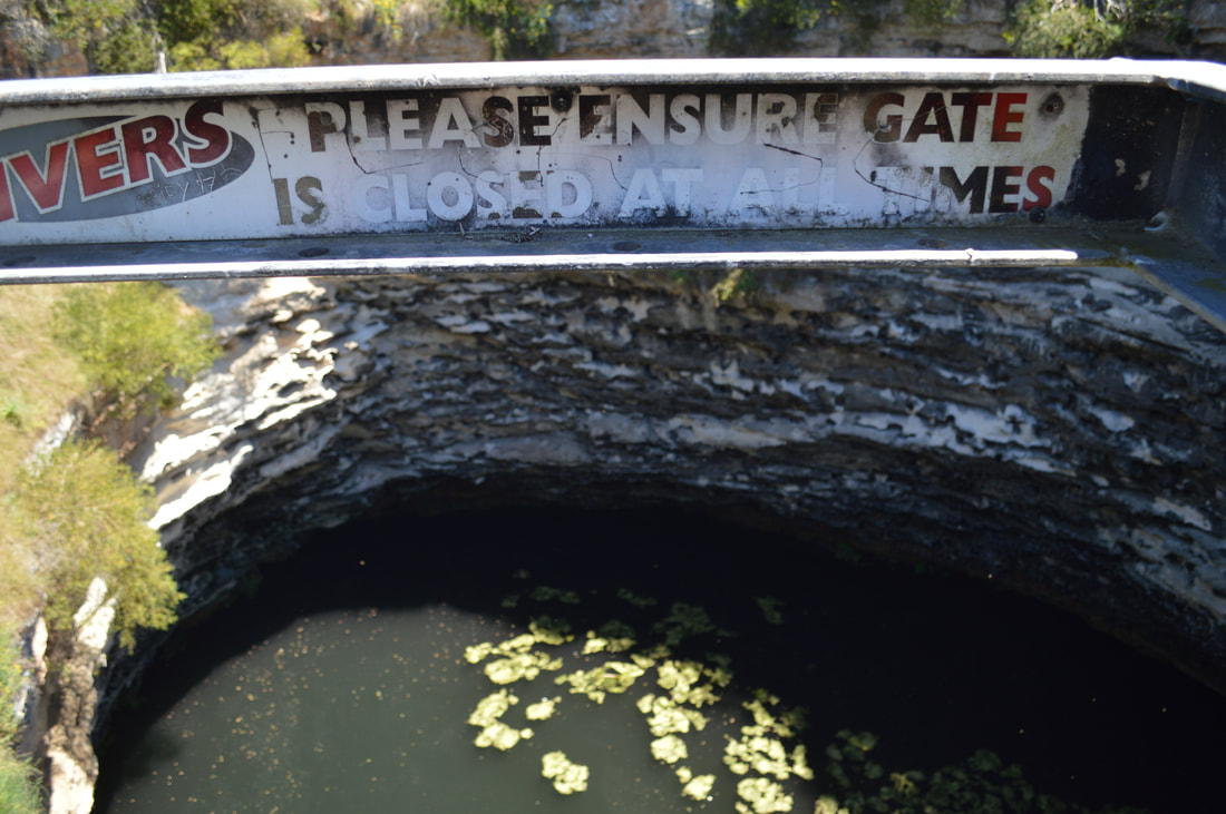
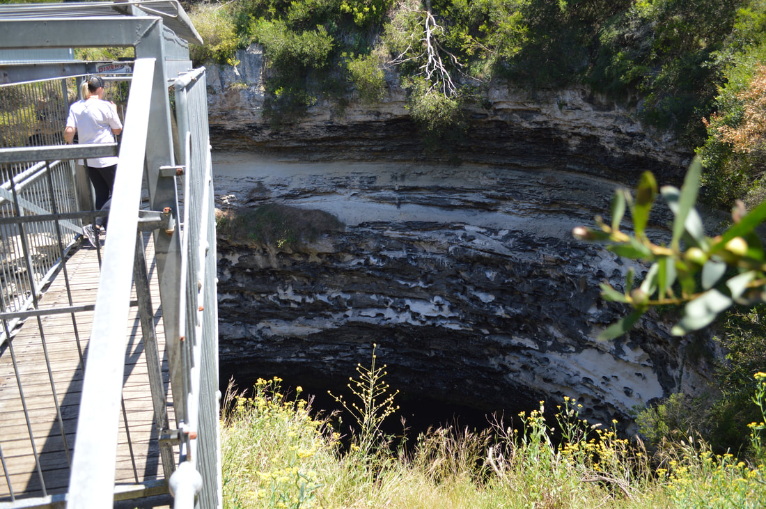
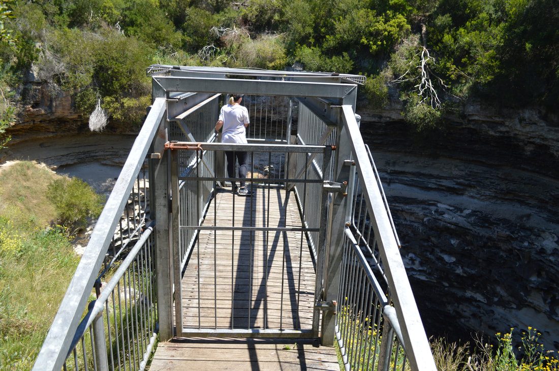
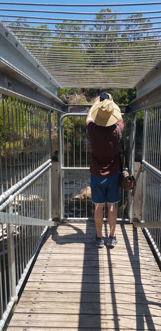
This quirky info centre museum definitely reminded us of the Riversleigh Fossil Centre in Mount Isa. I wouldn't be surprised if they were designed back in the 1980's by the same curators. Penambol Conservation Park - Caroline Sink HoleFor the record from what we've seen so far South Australia do not do National Parks well. We've definitely been spoilt experiencing amazing National Parks in both Queensland and Victoria, yet South Australia despite their half-arsed attempts appear to be more focused on industry than conversation. We saw a lot more forestry plantations than we did native fauna, but having had my rant what he we did find near Mount Gambier was visually impressive and worth making the effort to track down, literally. Limited navigational information had us make a wrong turn and end up 4WDriving it until we reached sand turning around and heading back to the main road to get our bearings and have another crack on a different road. The attractions are not well sign posted, which meant we had to do a bit of guess work, but found two sinkholes with viewing platforms and a bit of forestry propaganda convincing us they are doing their bit for nature. Honestly though had these sinks hole not been there, the native bushland wouldn't be either, as both sink holes are surrounded by forestry plantations making for an eerie, desolate and war like environment.
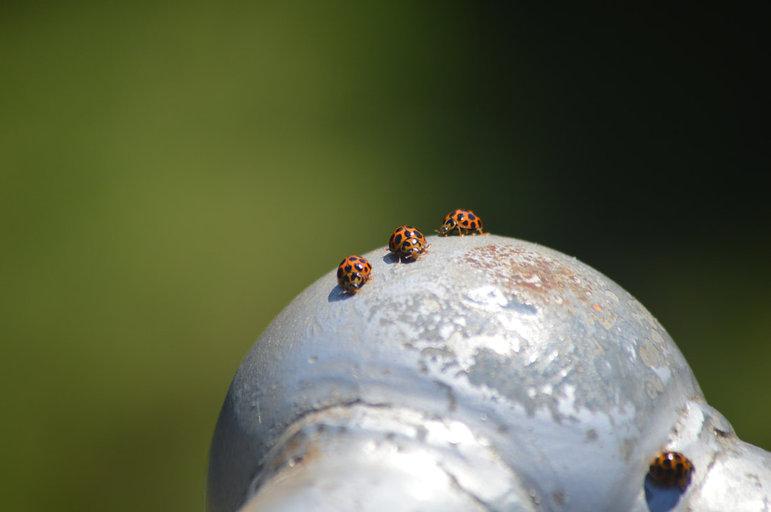
These gorgeous lady bugs were flying all around us, landing on us and walking over our arms. It was quite the experience. I've never seen lady bugs so big either
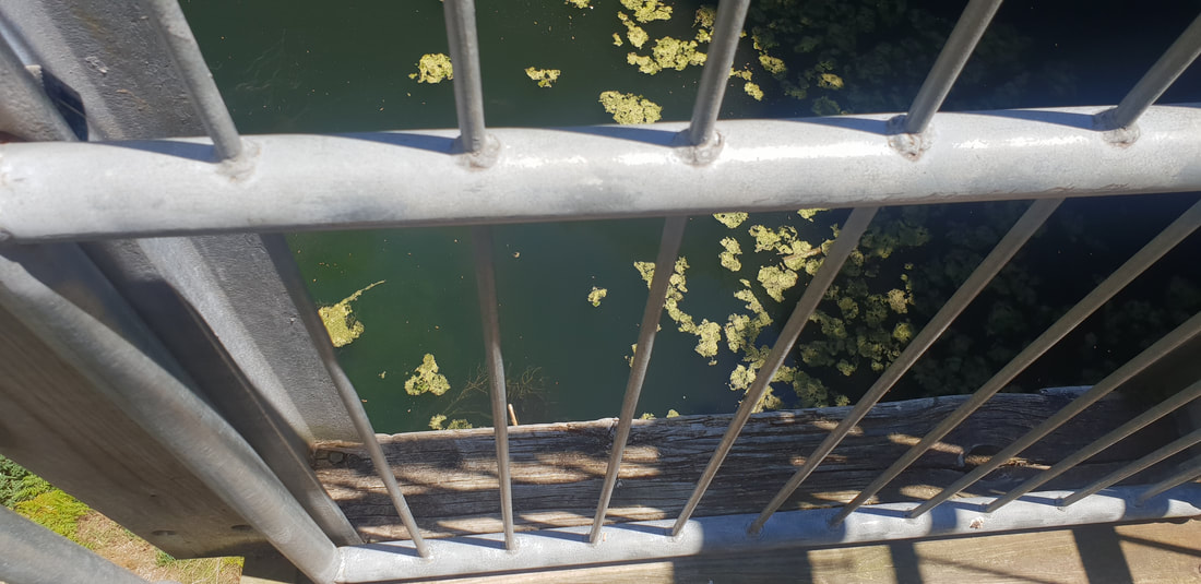
Penambol Conservation Park - Hells Hole
|
The JourneyChoose Curiosity The Catalogue
November 2023
The Tags
All
|


 RSS Feed
