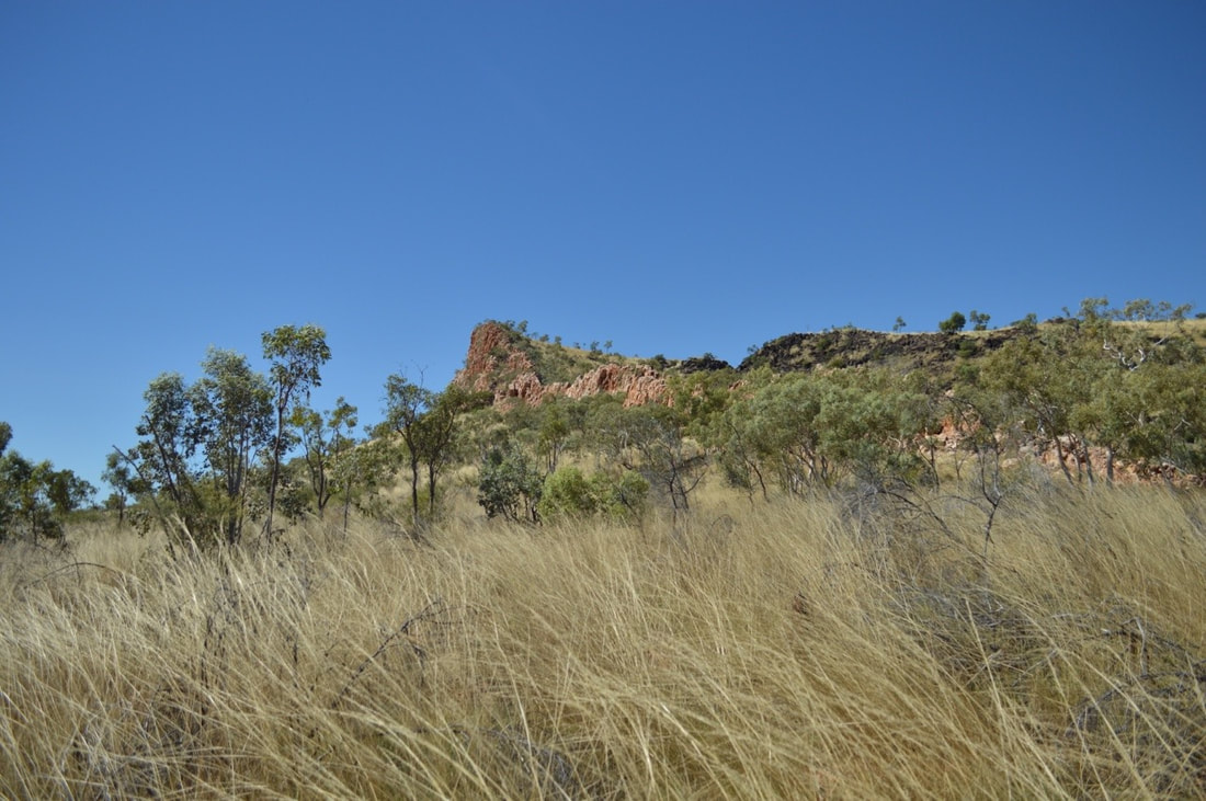
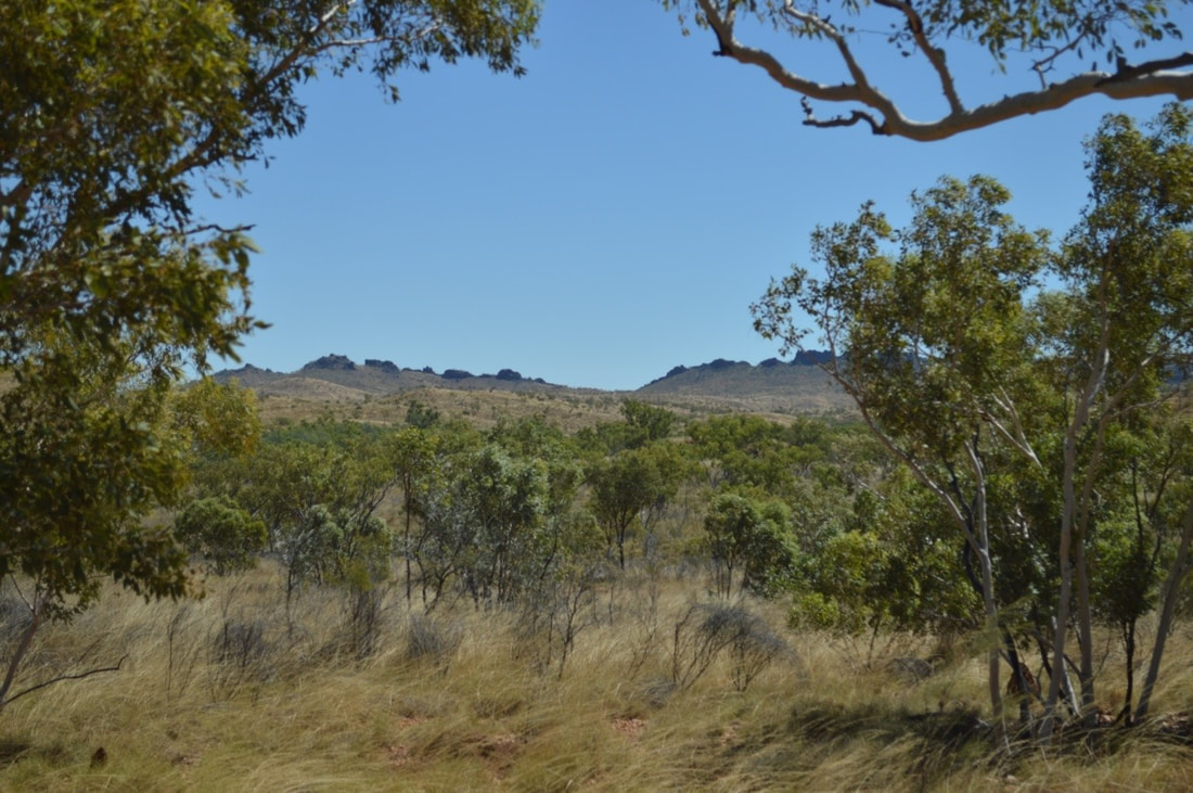
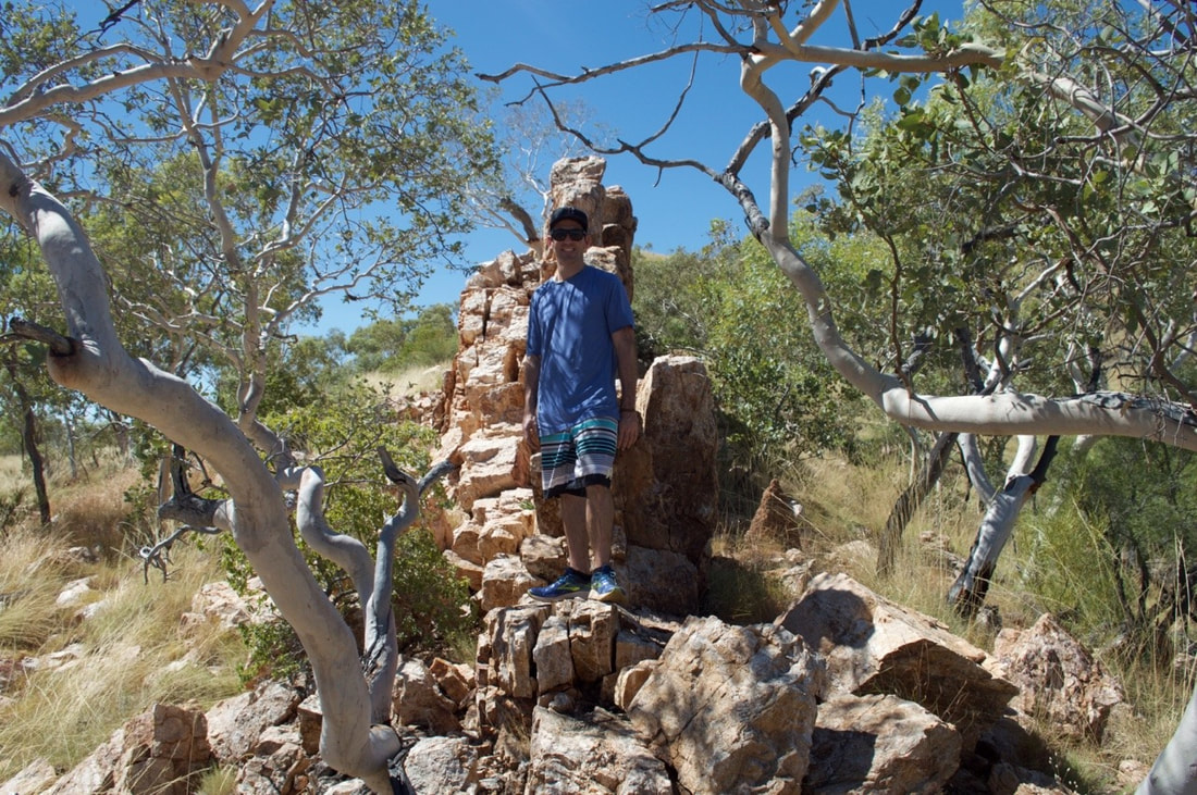
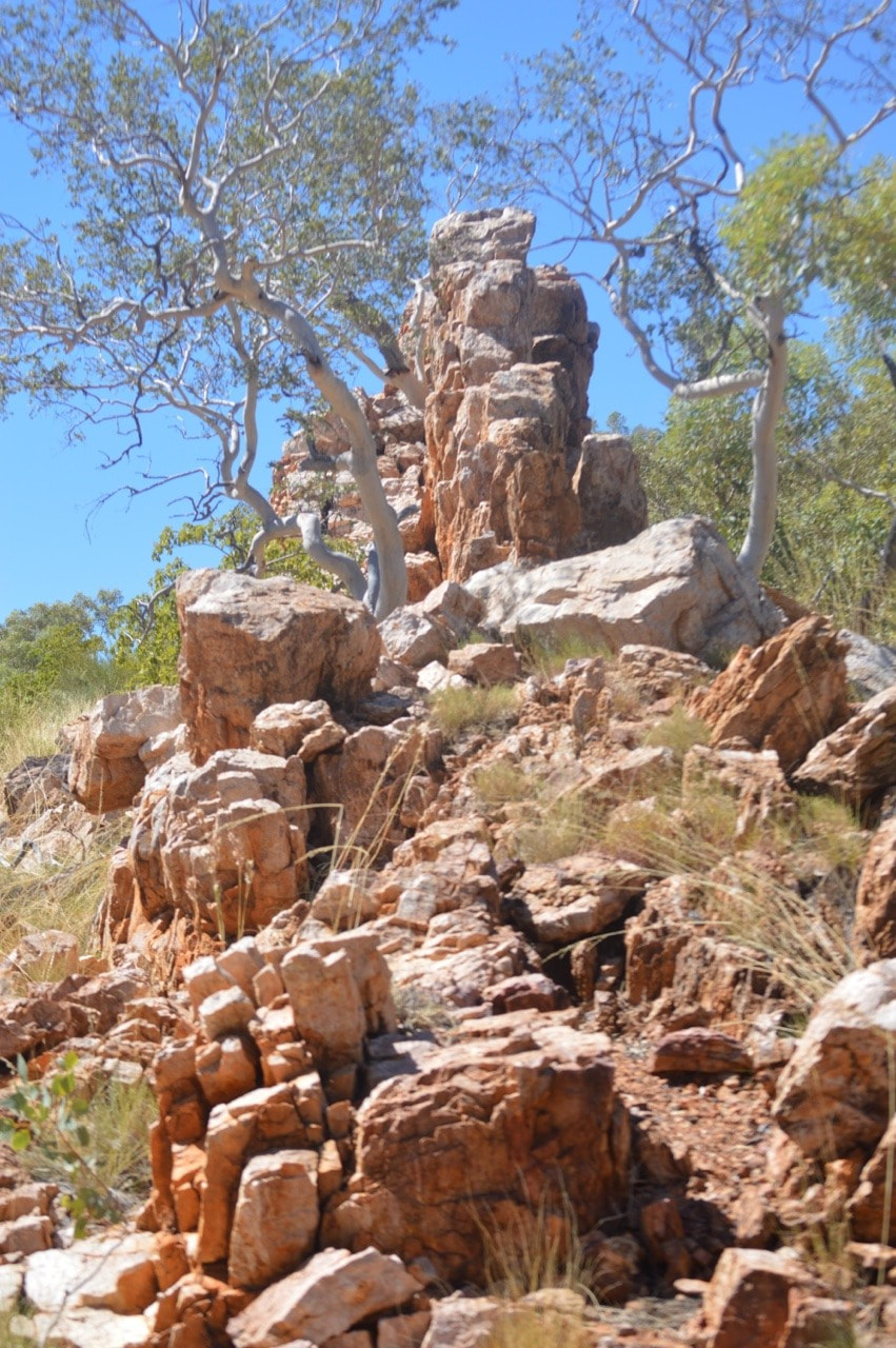
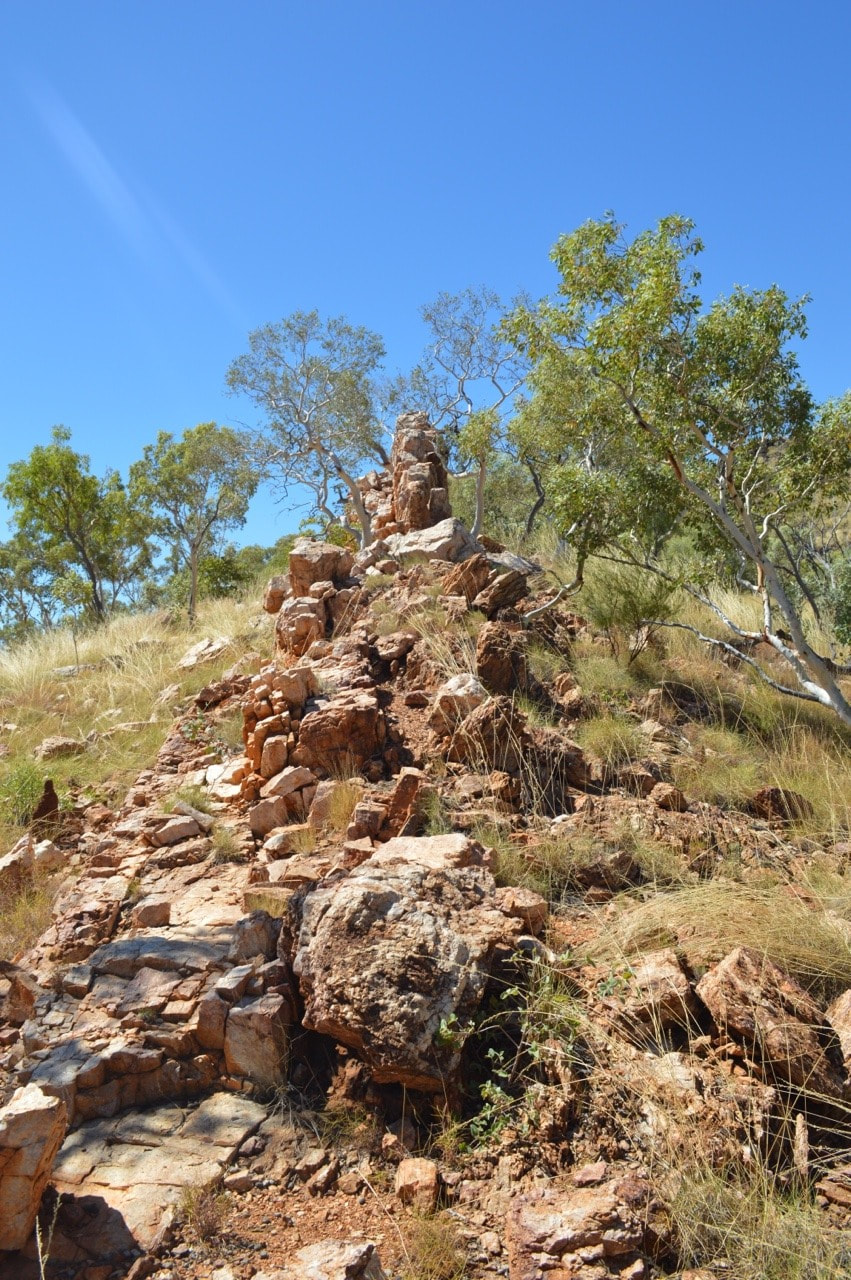
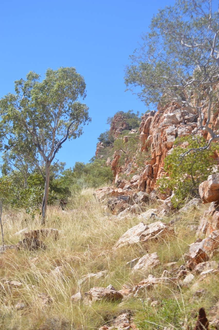
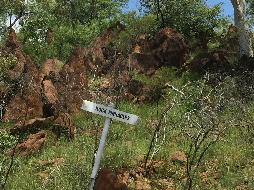
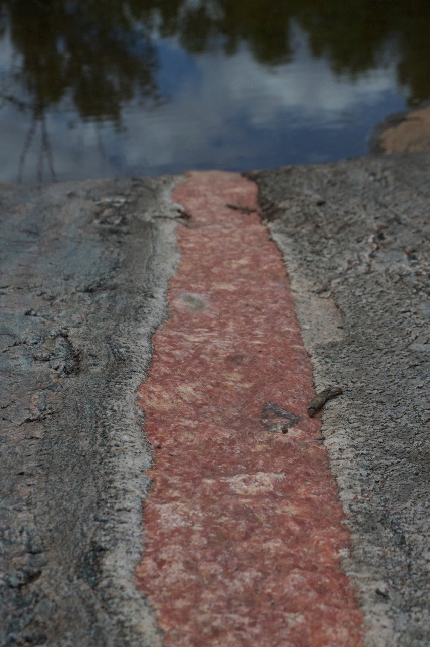
 This large and in parts free standing quartzite wall is located along a slightly rough dirt track approximately 7kms from the old township of Ballara. About 60kms east of Mount Isa. The wall spans approximately 700mtrs in length, is only about 1mtr wide and in parts can reach up to 20mtrs in height, making for a spectacular view, up close or from a distance. Behind the wall is a crop of black volcanic rock, that is a surprising sight against the lighter coloured rock of China Wall. Shovel has vague memories of visiting China Wall as a child on a school camp and felt a bit disappointed as he remembers it being much larger…. I guess everything seems more enormous when you’re young… But it was still a beautiful sight and worth heading out to.
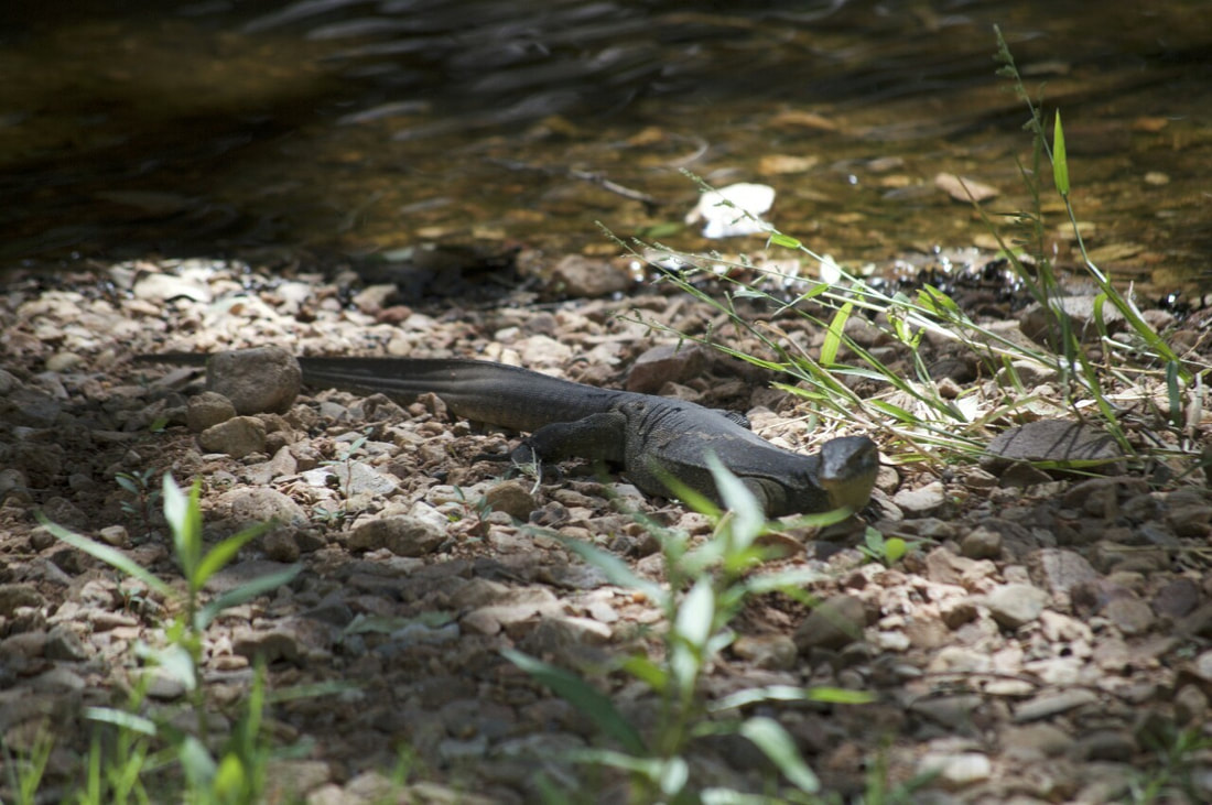
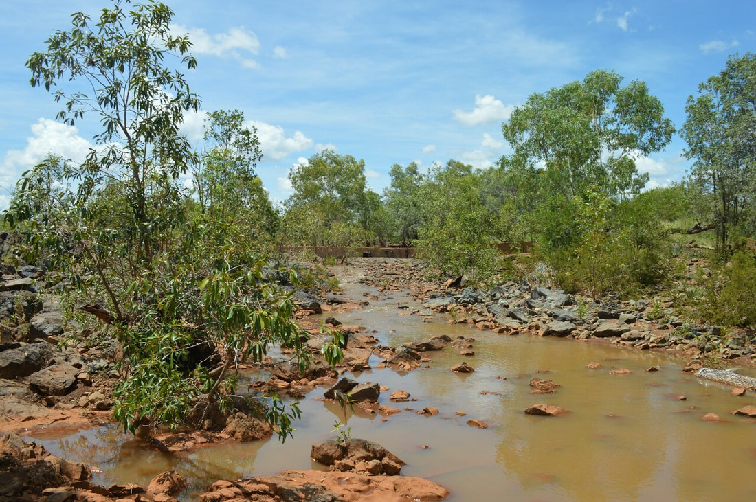
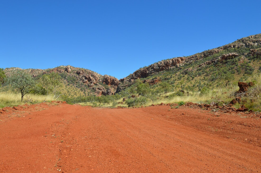
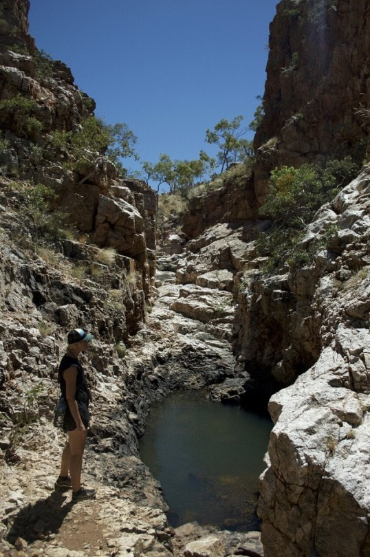
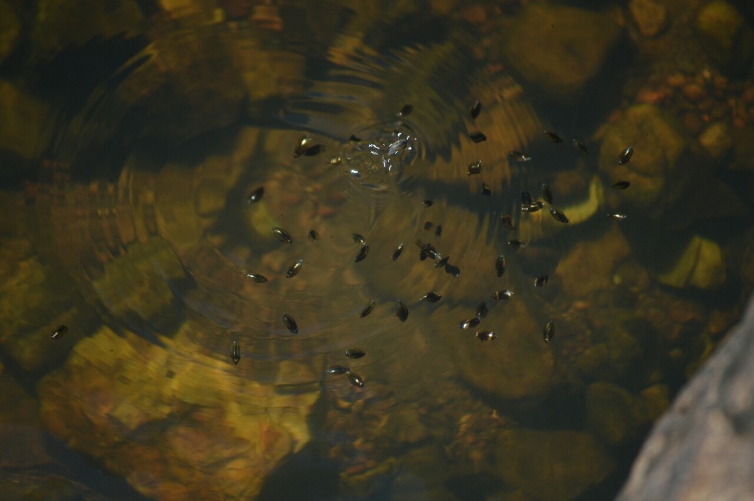
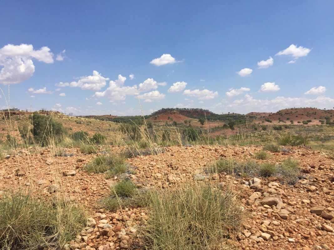
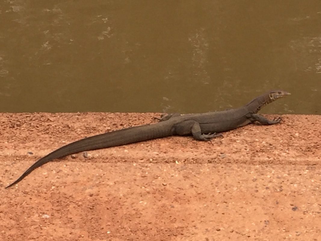
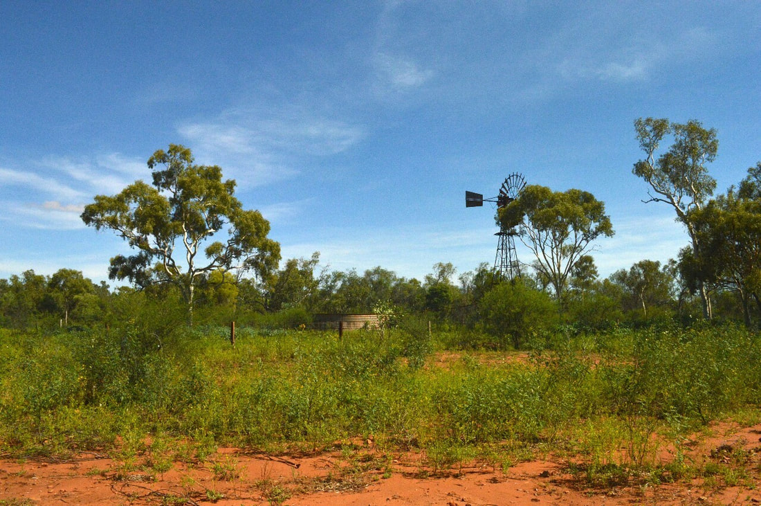
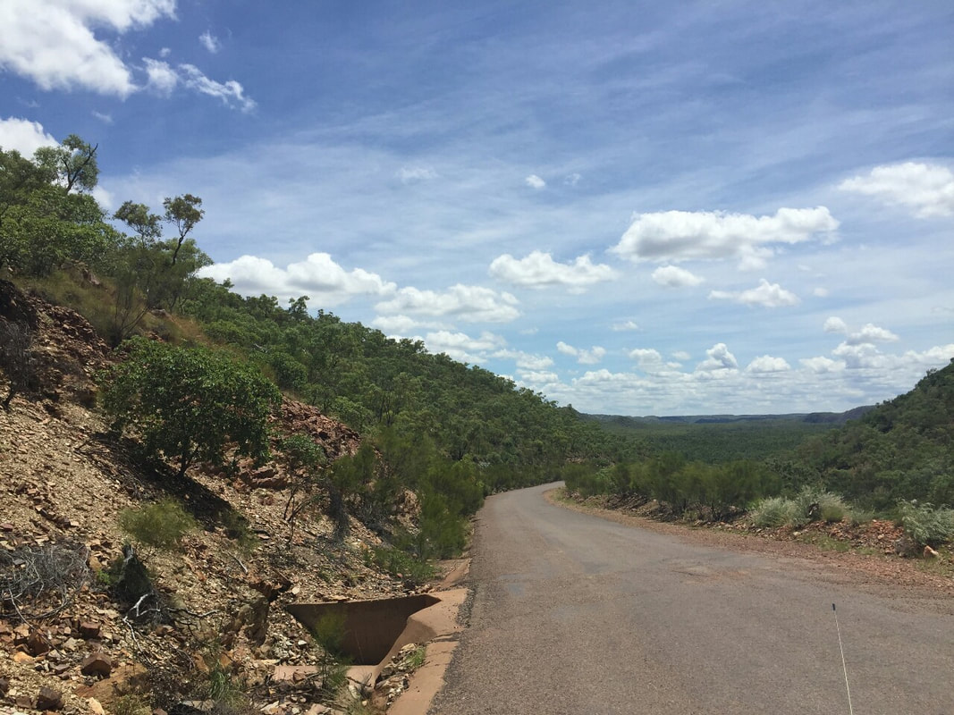
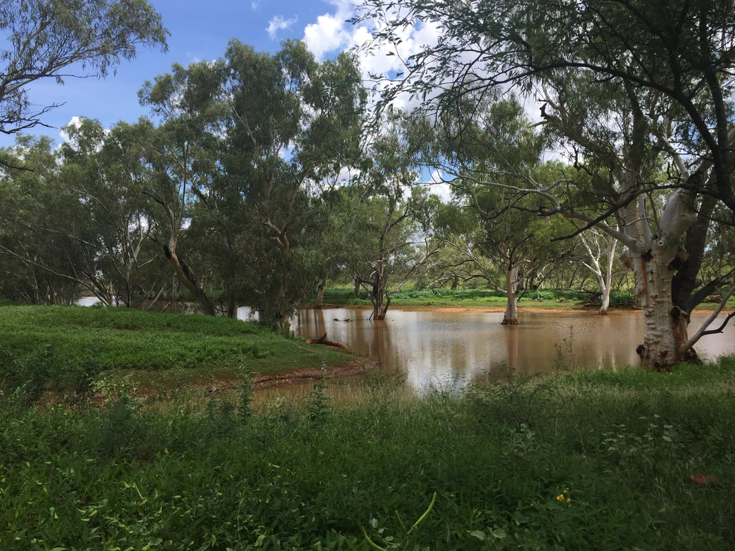
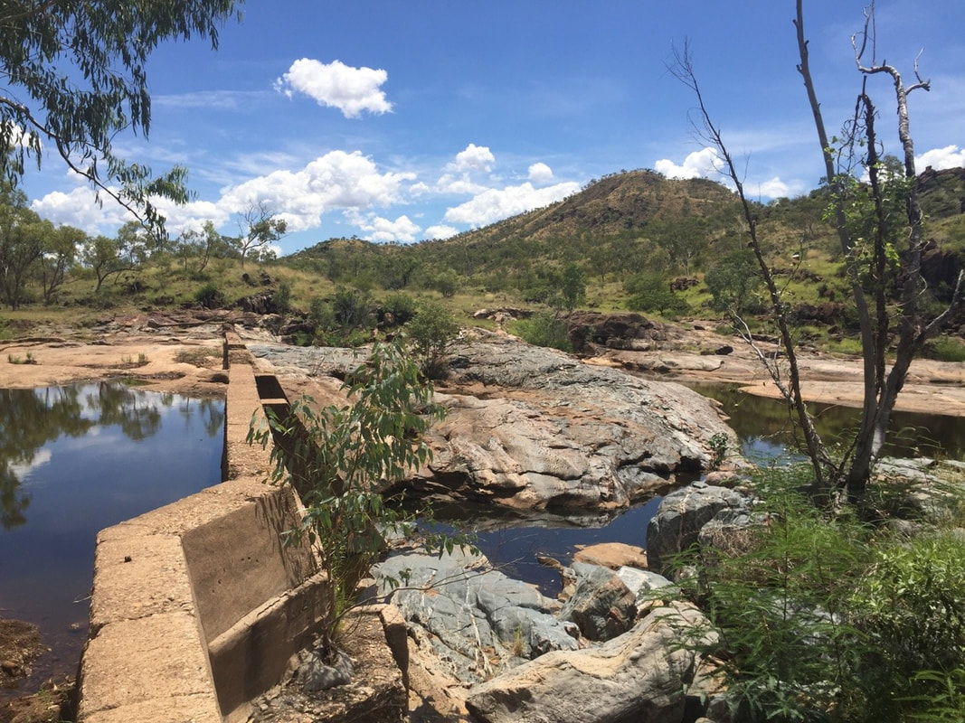
On a turnoff 58 kilometres out of Mount Isa is a 26 Kilometre long dirt road that leads to Fountain Springs. This natural spring is formed by a geological fault-line that has opened the gates to the water-table beneath the surface. You can imagine the forming of the area with volcanic activity and tectonic movement when you notice the quartzite fountain range on the right and the dark volcanic peaks of Mount Philip on the left. Fountain springs was once a water supply for the township of Ballara from 1913 to 1927, but is now a valuable water source for Brightlands Cattle Station. We felt privileged to meet the local residents of Fountain Springs, which were two Water Monitors who were catching a bit of sun. Four kilometres further South is a similar location called Second Fault, a bit less water, but the views are still worth the extra drive.
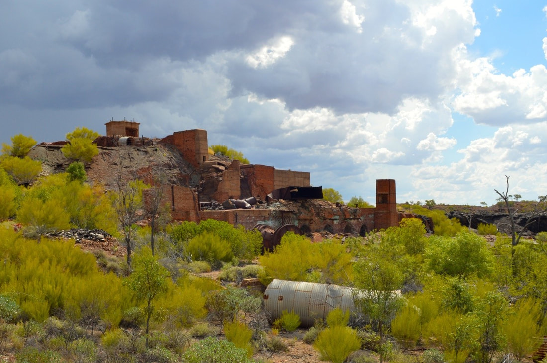 
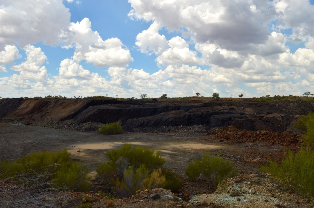
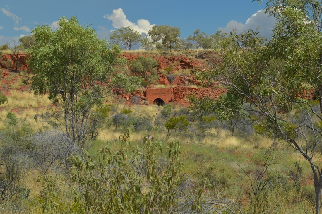
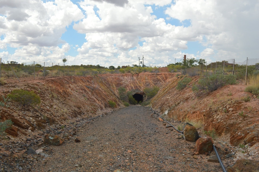
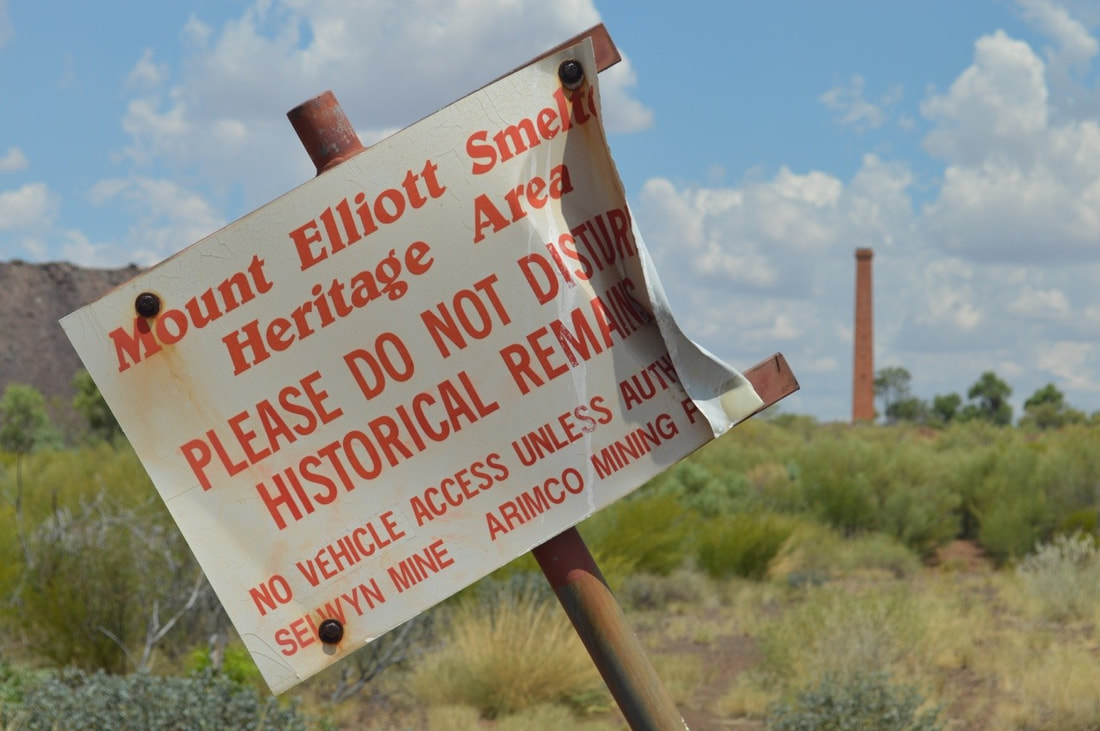
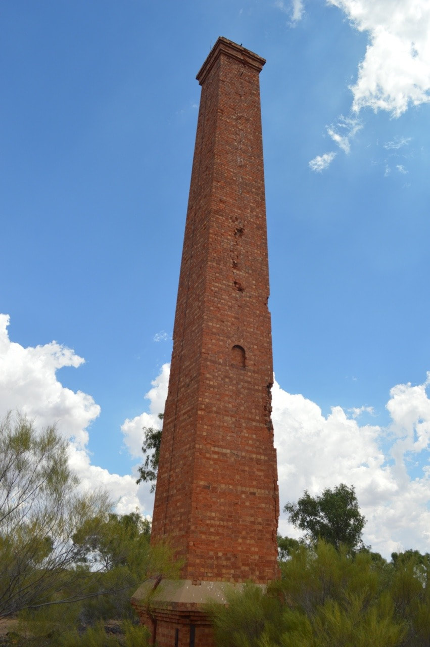
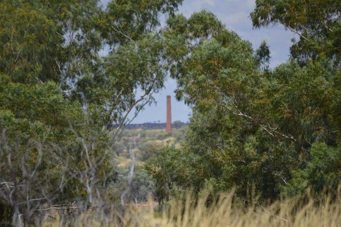
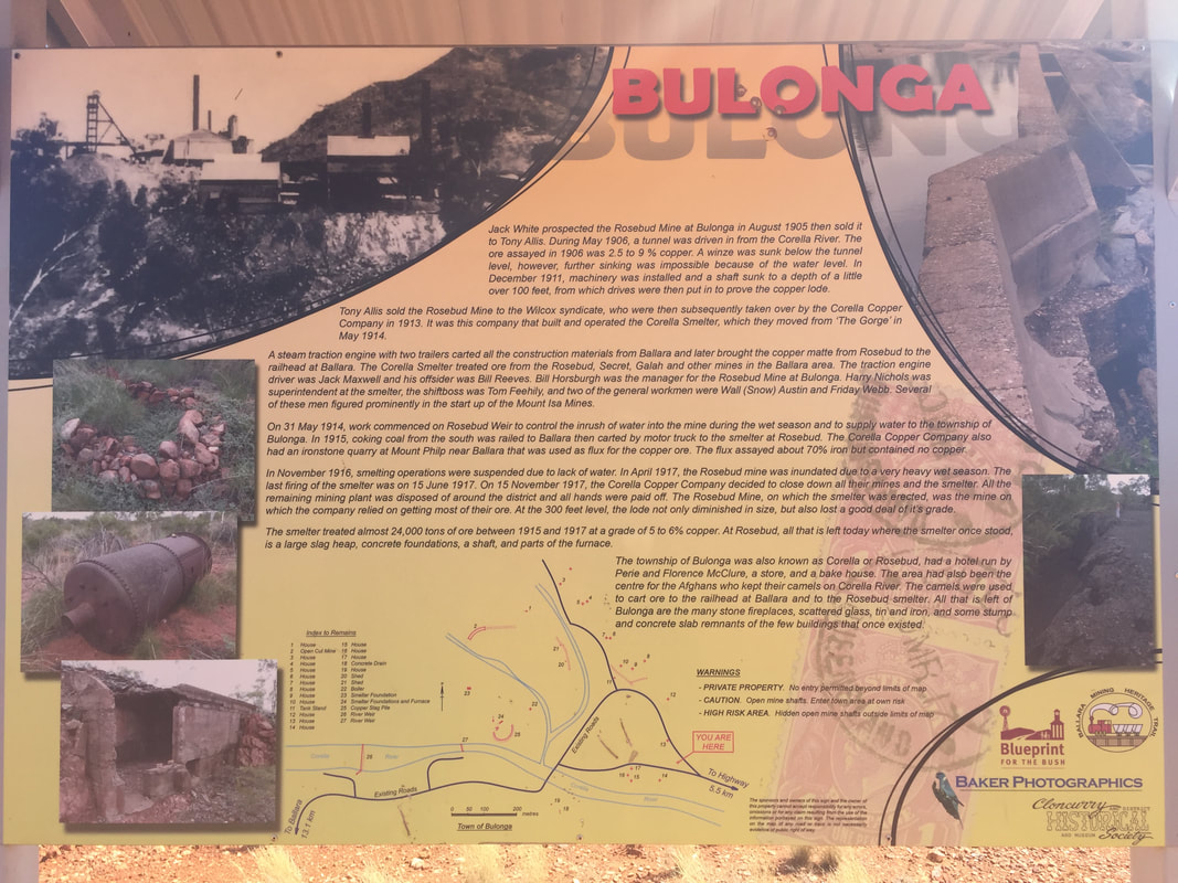
Operations of the mine and subsequent smelter complex, under the leadership of William Corbould (who famously went on to float Mount Isa Mines in 1924) was active from 1909 closing in 1920. The mine has since had several lease holders, but a heritage overlay on the site now prevents any such mining activity. Although much of the smelting equipment was sold off to Mount Isa Mines in 1943, the remaining stack dominates the local skyline and close up is awe inspiring. It is said Corbould was the architect of the Mount Elliott mining complex and what is now left of his design is beyond impressive. We could only marvel at what the structures would have looked like in its prime. Disappointing more maintenance and rehabilitation works are not undertaken on heritage sites up this way, as these structures and the history contained within their fabric are being lost to time.
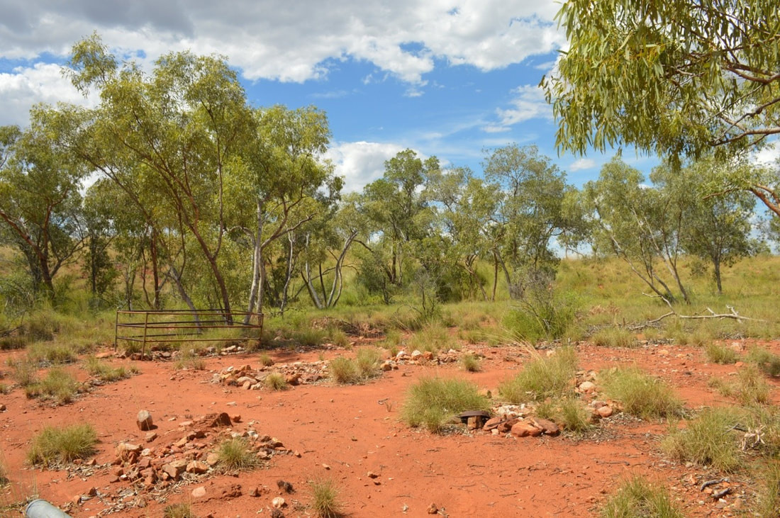
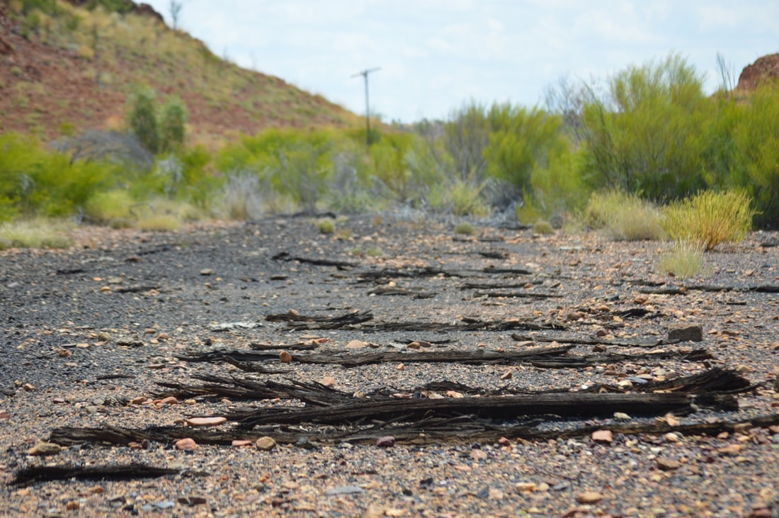
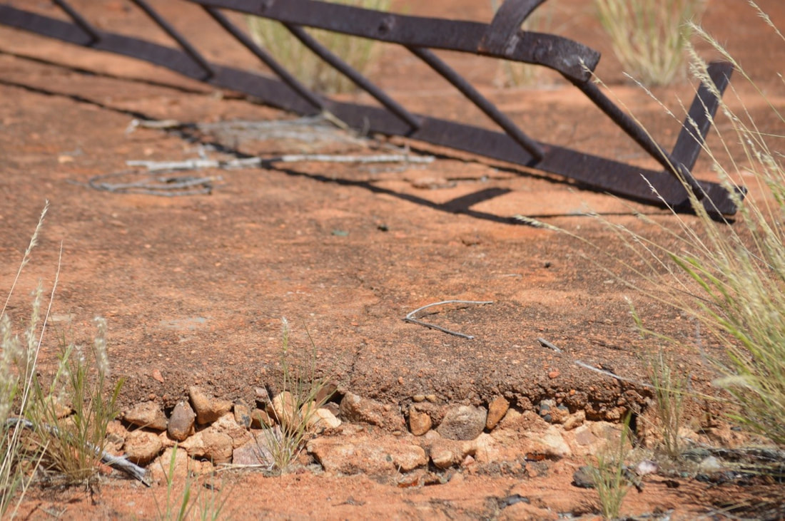
Walking through the town you see remains of the terminating railway that travelled from Cloncurry through Malbon and Kuridala. Very little remains of what was a thriving mining town that was surveyed in 1910, a few bits and pieces left us with enough imagination of what life was like for people out here. Selwyn had a population of 1,000 people in 1913, which then grew to 1,500 in 1918, the population declined in later years seeing its last residents in the 1970s. In its prime the town had four hotels, a post office, bakery, three general stores, four fruiterers, a butchery, hairdresser, school, police station, hospital, bank and the terminating rail station. The last building standing in Selwyn was the post office, which closed their doors unofficially in 1975.
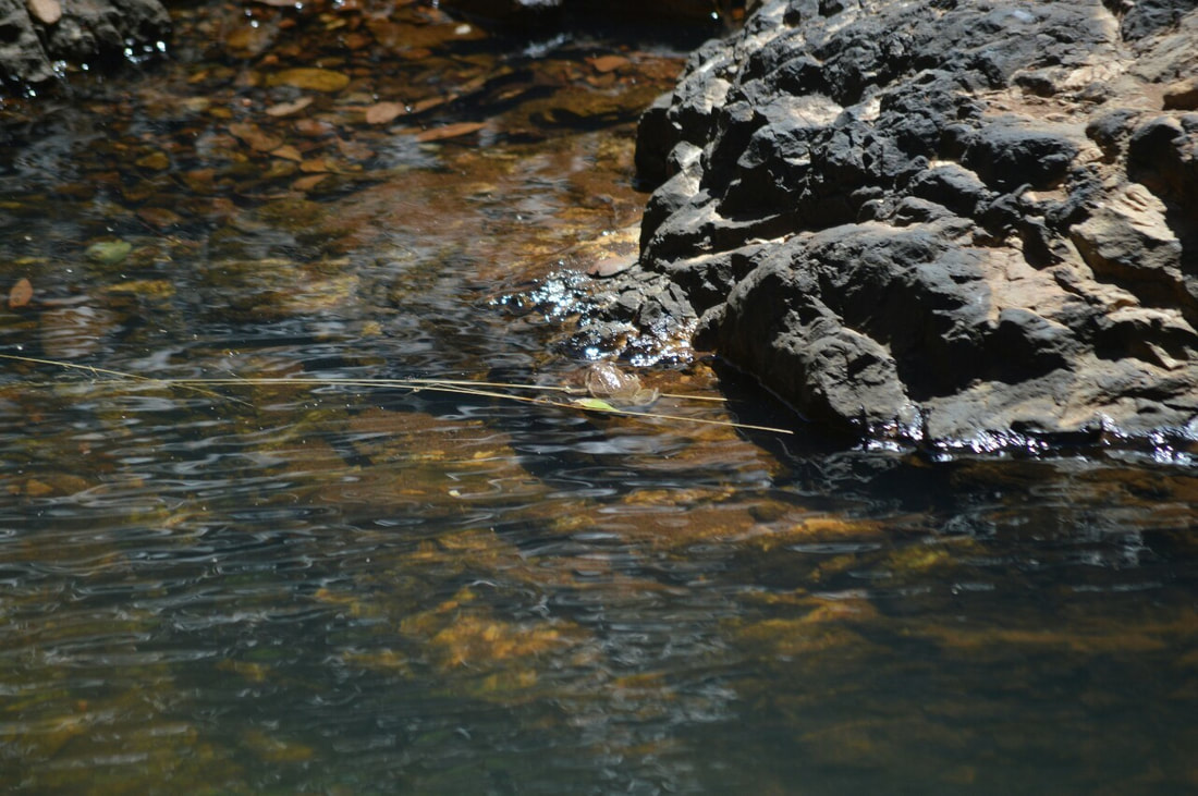
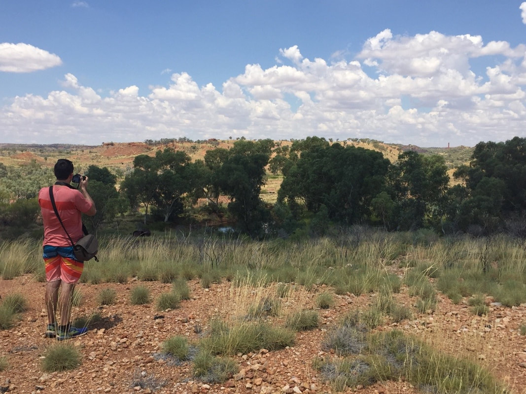
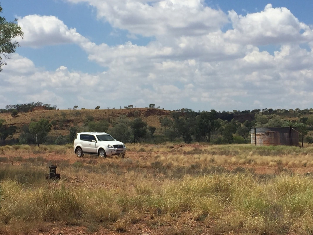
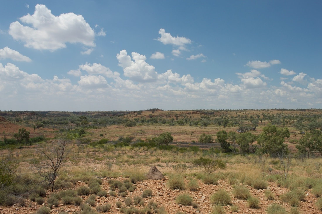
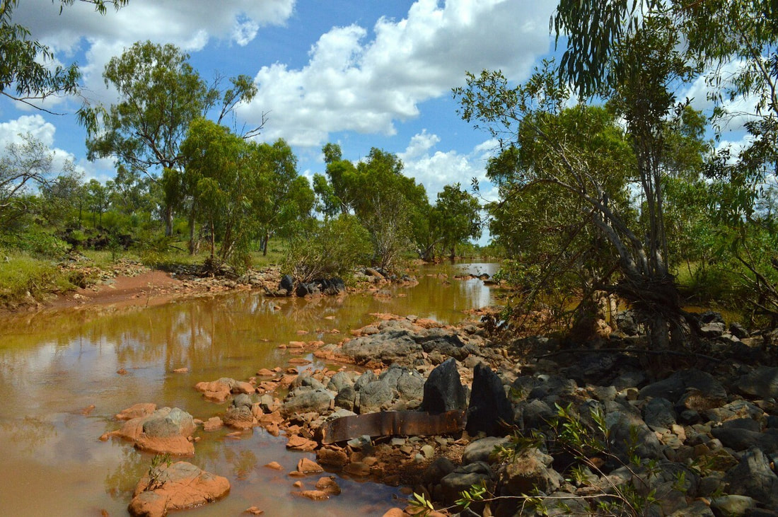
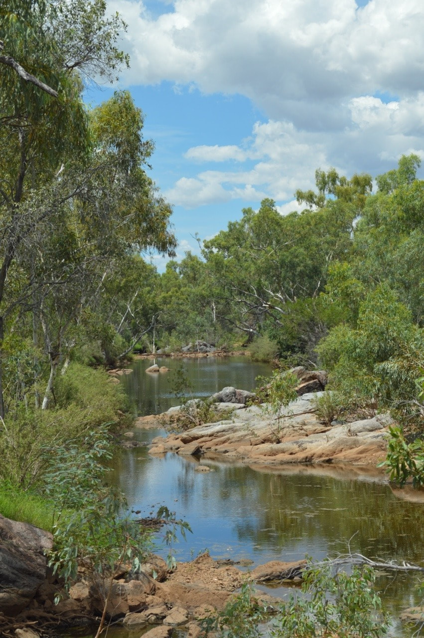
We took a drive 44 kilometres along the Barkly Highway towards Camooweal, then a dirt road that heads east for 80 kilometres, this brought us to what is left of a town called Gunpowder. Gunpowder was a town built to facilitate the nearby mines, Mammoth and Mount Oxide, owned by Gunpowder Copper in the 1960’s and 70’s. The Mammoth Mine was discovered in 1927 by the Shah Brothers, Afghan cameleers. The Mount Oxide Mine was discovered in 1882 by Ernest Henry with the help of Toby from the Waggaboonyah Tribe. The town closed down in 1982 and became a resort, until 1988. We took a drive through the lease, but were told Gunpowder is now mining accommodation for the new owners of the lease Capricorn Copper, which meant that this trip was more about the journey and not the destination. The road takes you through parts of the lease with views that make you feel like you work there, it also teases you with some views of Lake Waggaboonyah, which provides the water supply to the mine. On the drive back to Mount Isa, we checked out a couple of nice flowing rivers, one of them had piles of old molten slag poured through it, which reminisced basalt from volcanic activity. 🌋🌋🌋🌋🌋
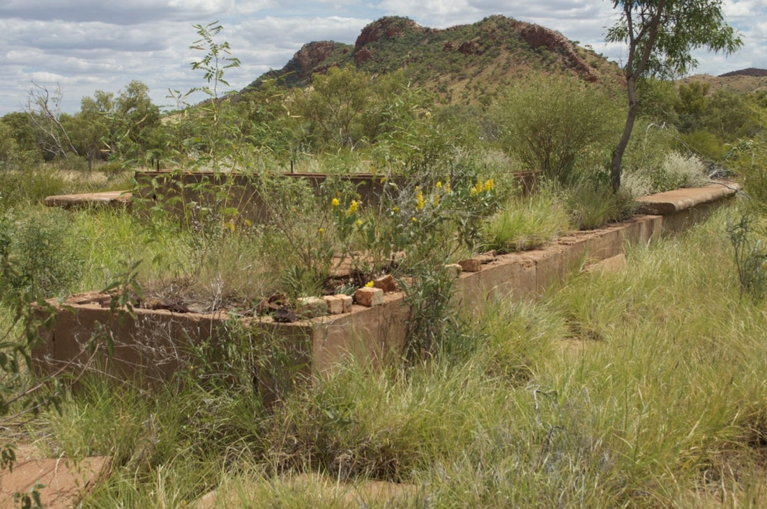
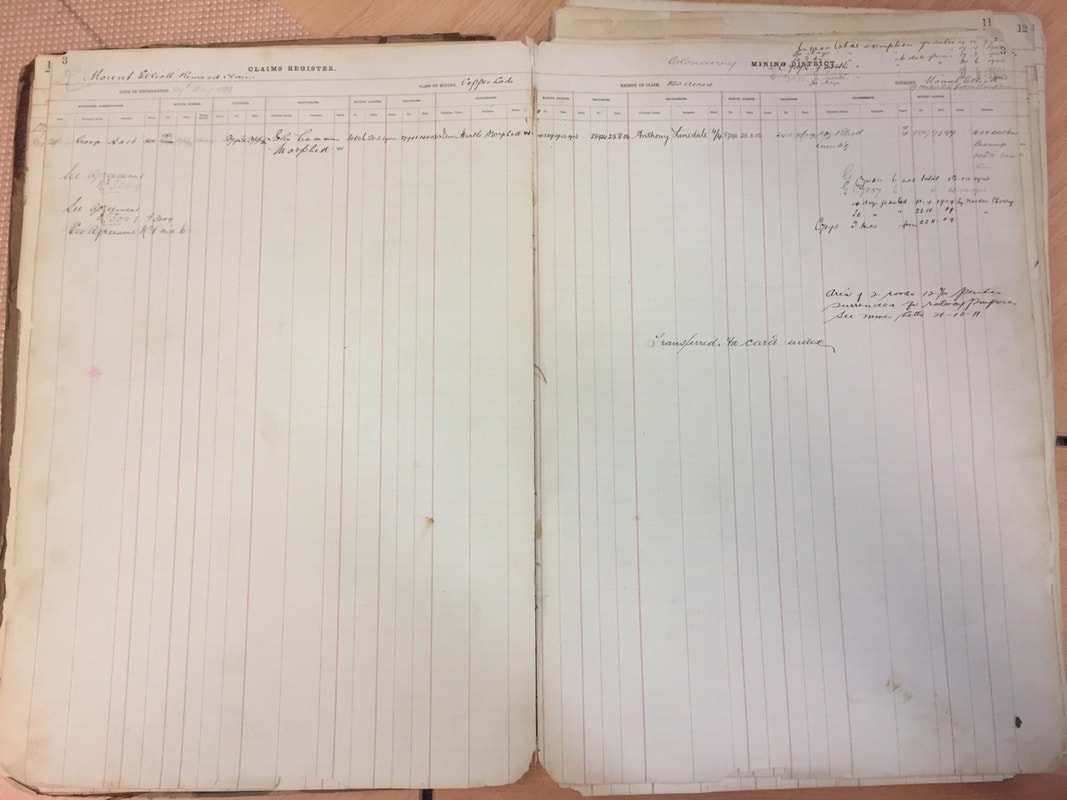
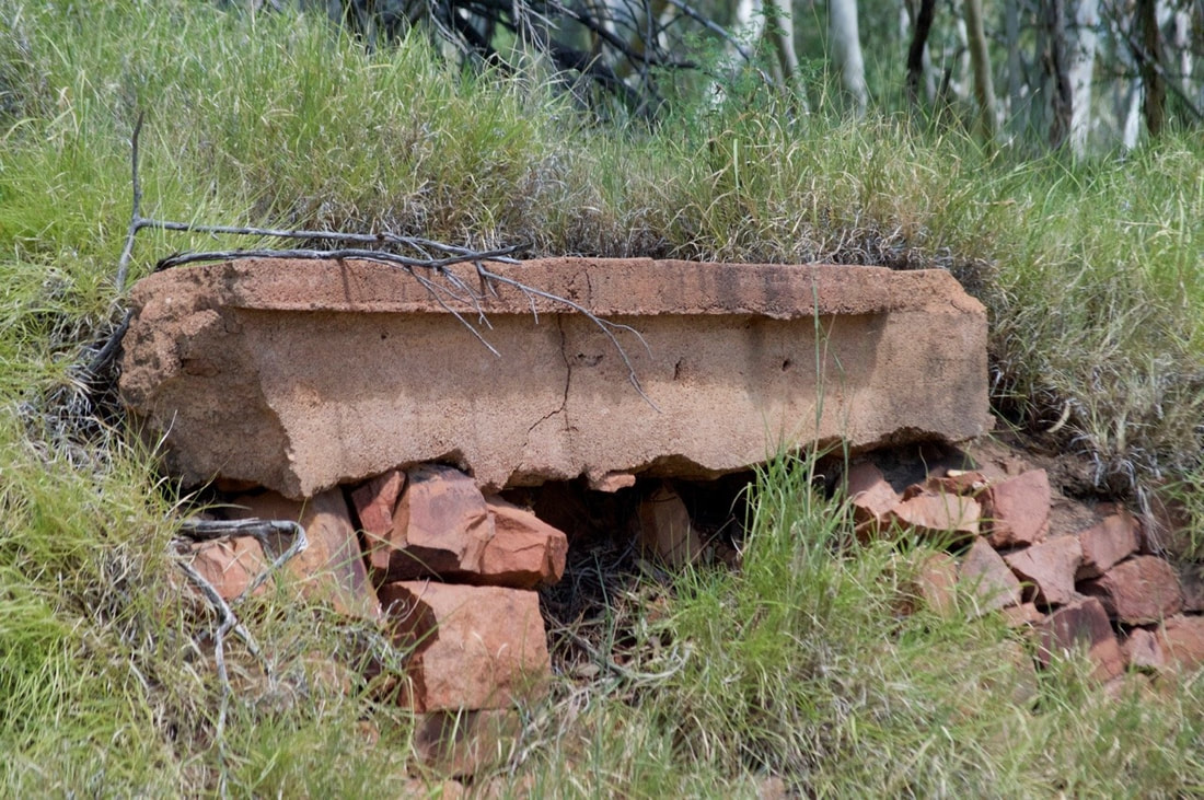
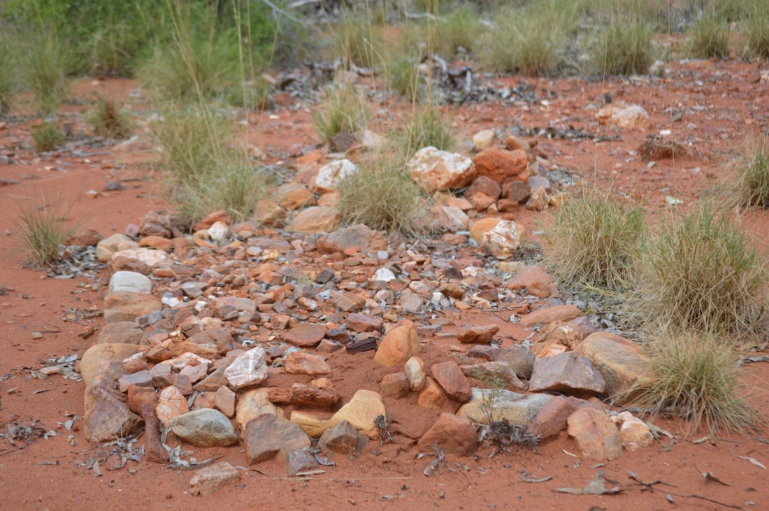
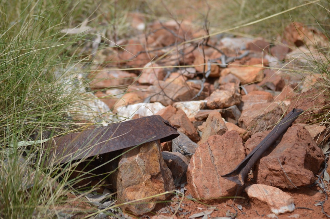
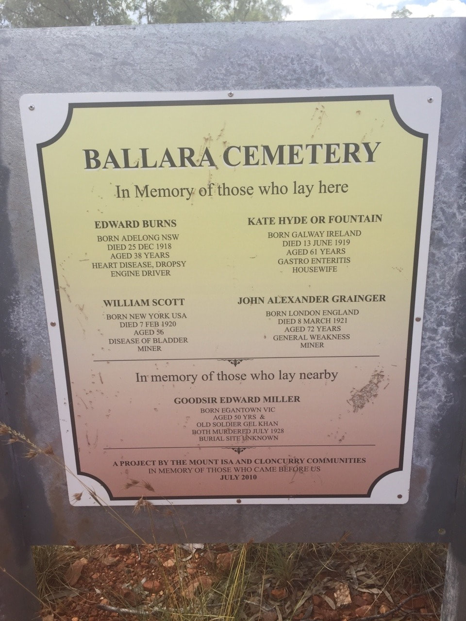
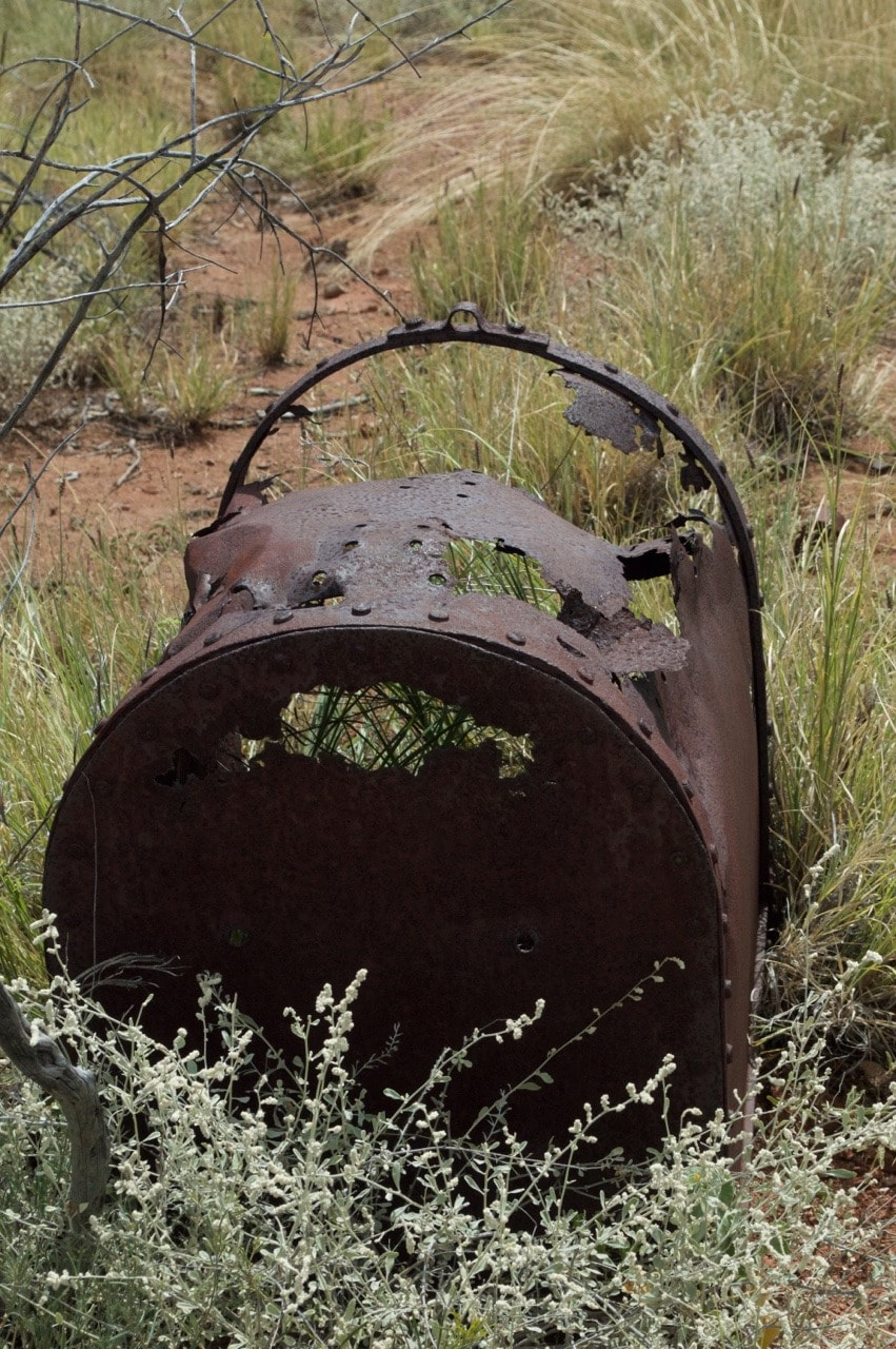
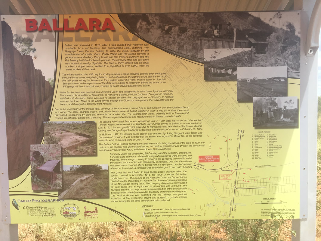
 Tom Warrick declined the offer however, instead suggesting it be named after the rich gold mining town of Ballarat. The board to write the town name on however was not long enough and the ’t’ was left off, so creating the name of Ballara. This township originally known as "Lady Flat", then "Mineral" was also going to be a temporary town, designed with a railway station to service the nearby township of Hightville, which facilitated the Wee Macgregor mine and was difficult to access. Everything was built so that it could be dismantled and re-erected elsewhere, as were the changing conditions of mining during these formative years. The school operated between 1919 and 1925 and the Post Office operated between 1915 and 1927 when the last train departed. The station platform remains as does a small cemetery.
We marvelled at the shapes created by the once boiling slag, imagining it cooling as it oozed into the creek. Although once a site for dumping mining waste, this area is now stunning and completely serene. We ate lunch sitting in the back of Rex looking out across the river and chatted to a couple, who owned the Mount Isa Anytime Fitness Gym. There’s many things we love about The Isa, and people spinning bulk yarn is definitely high on the list.
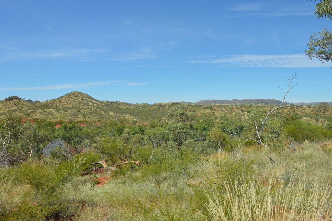
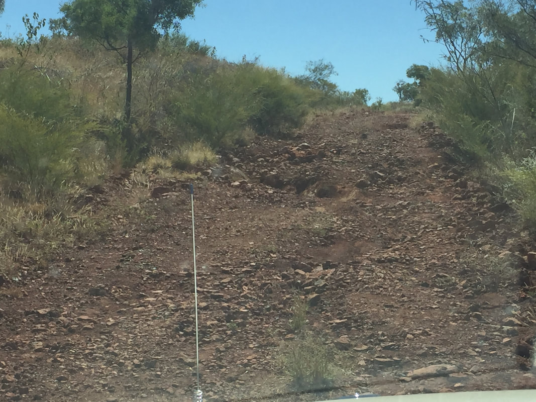
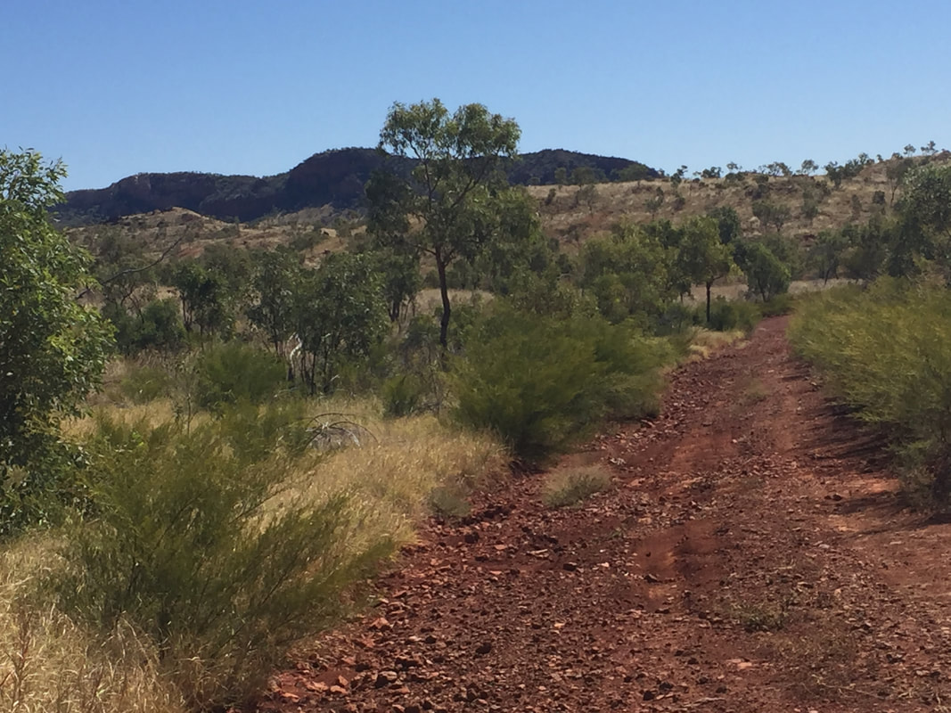
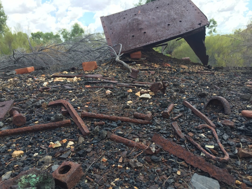
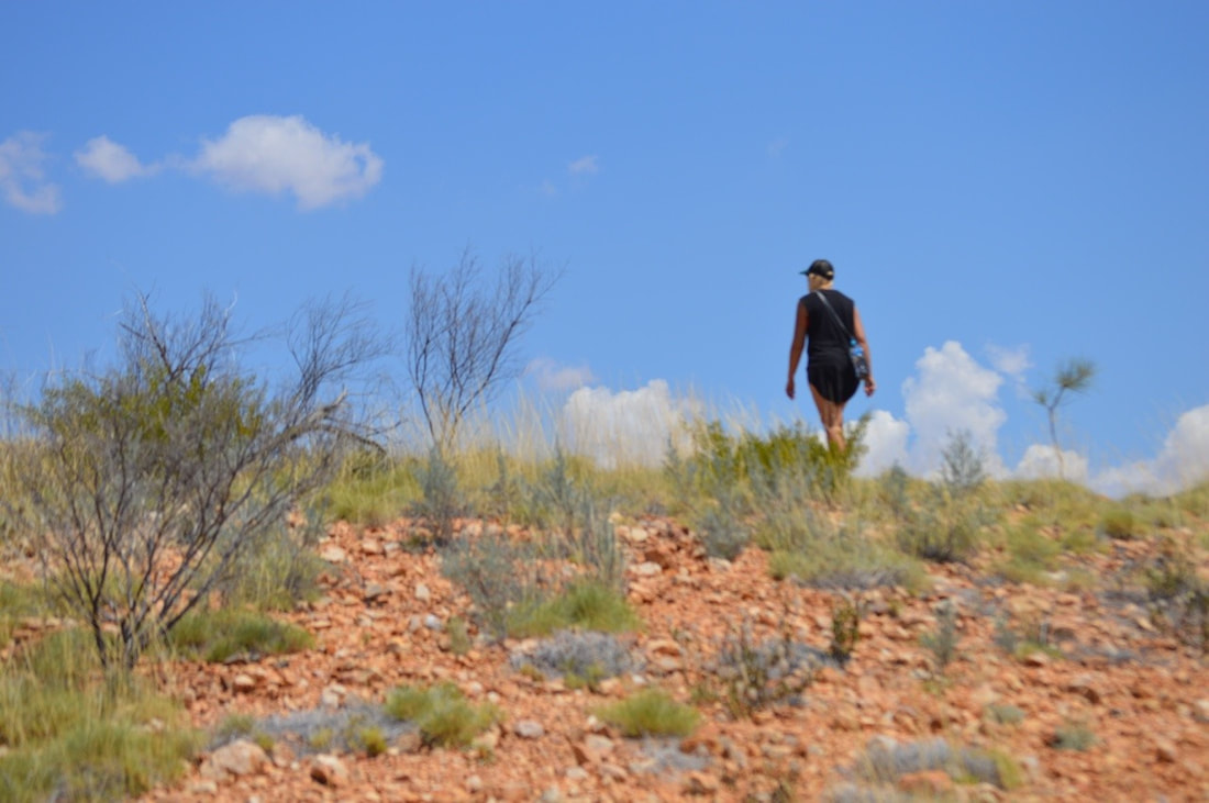
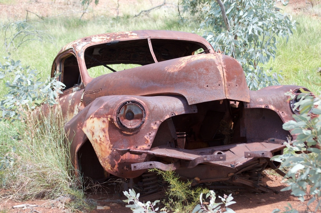
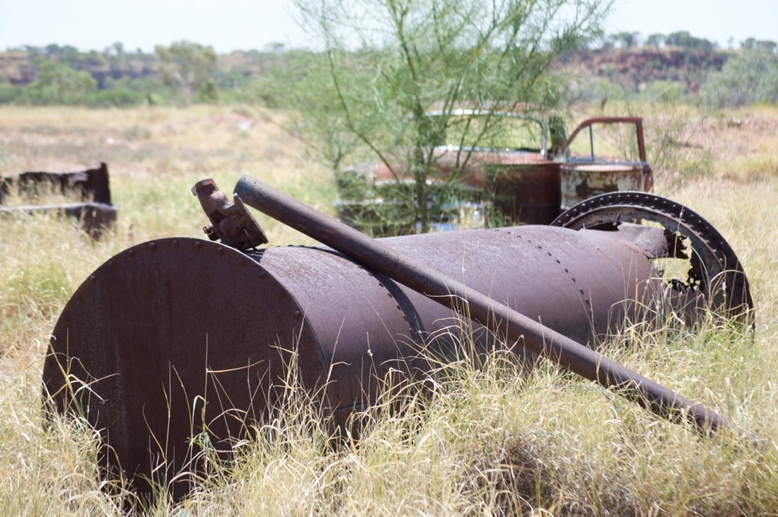
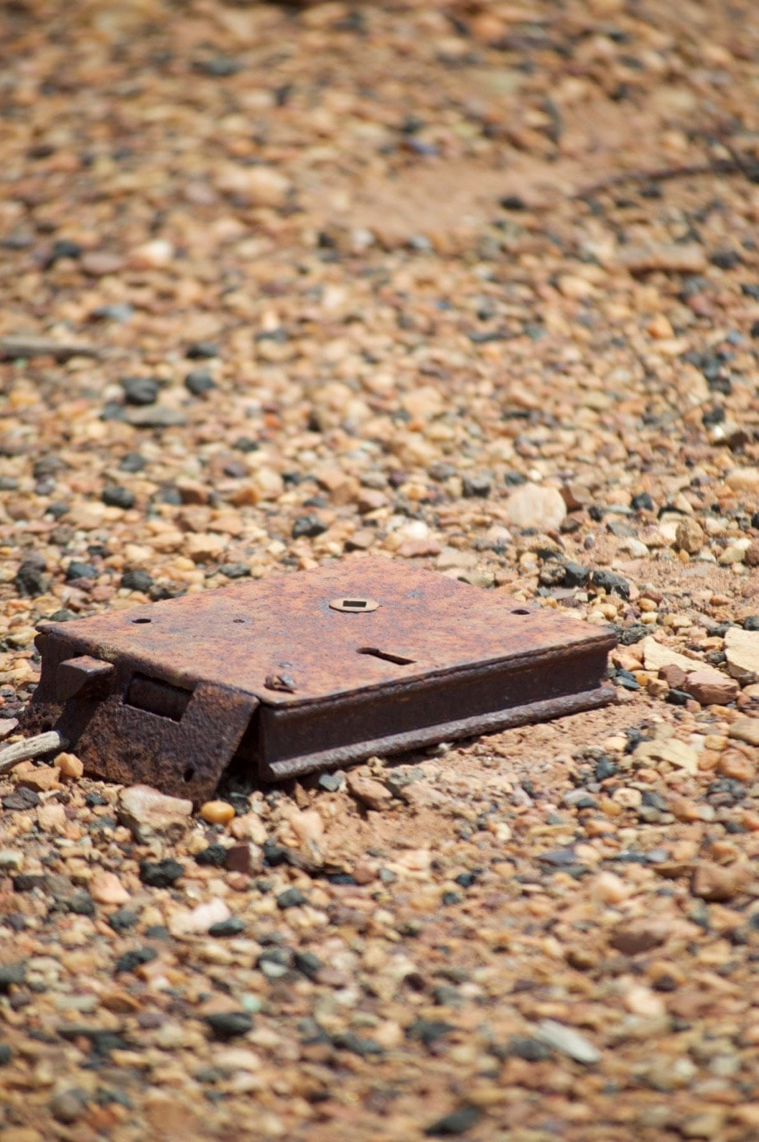
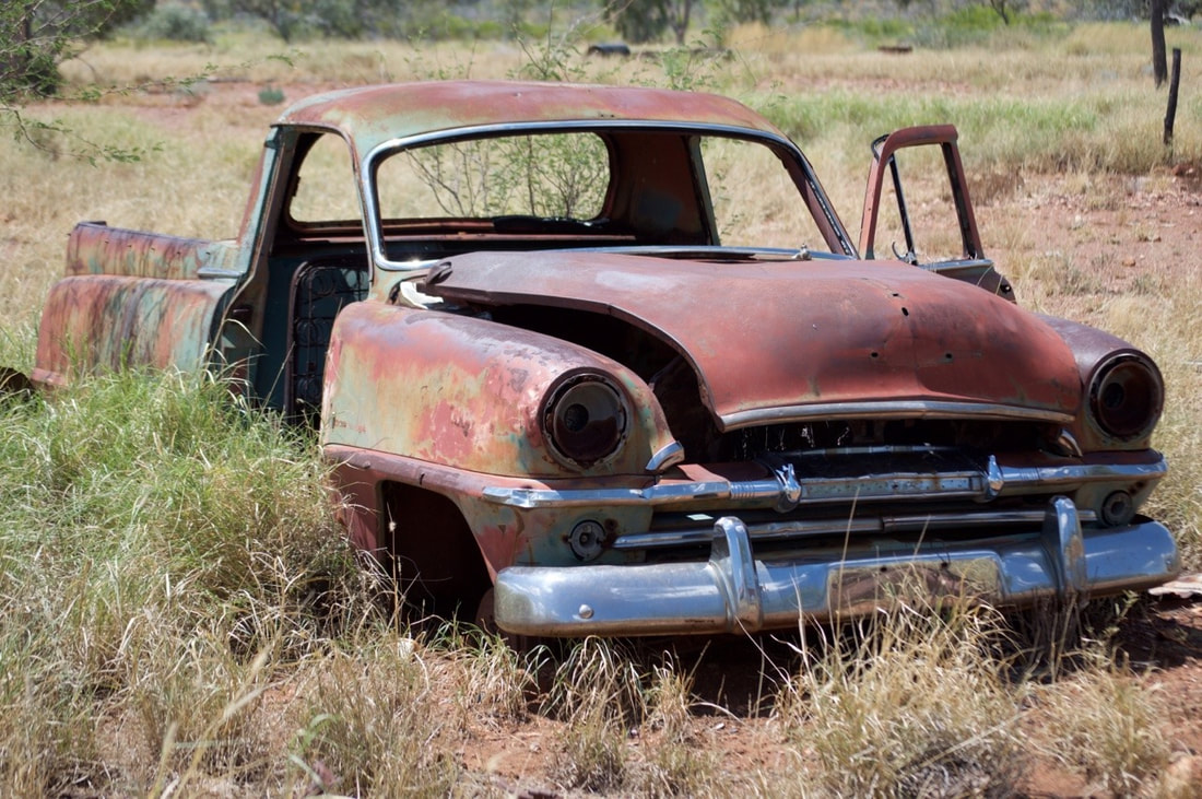
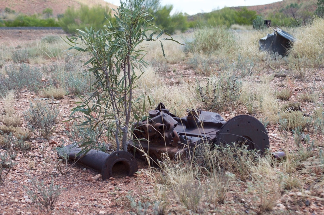
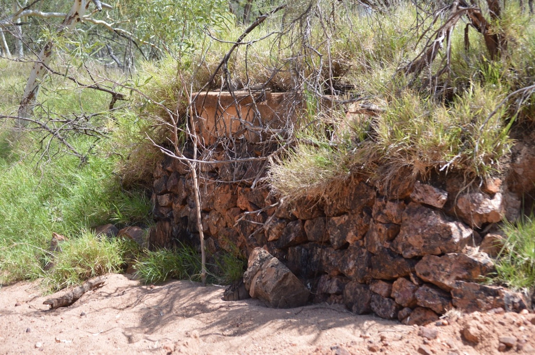
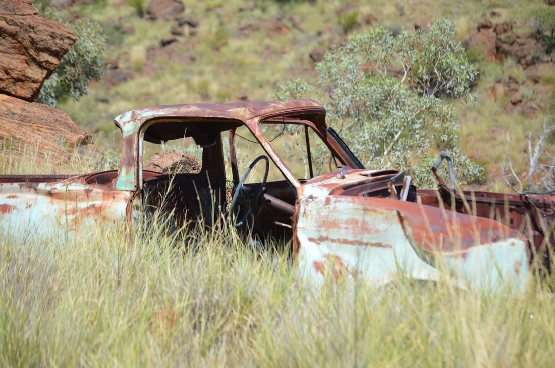
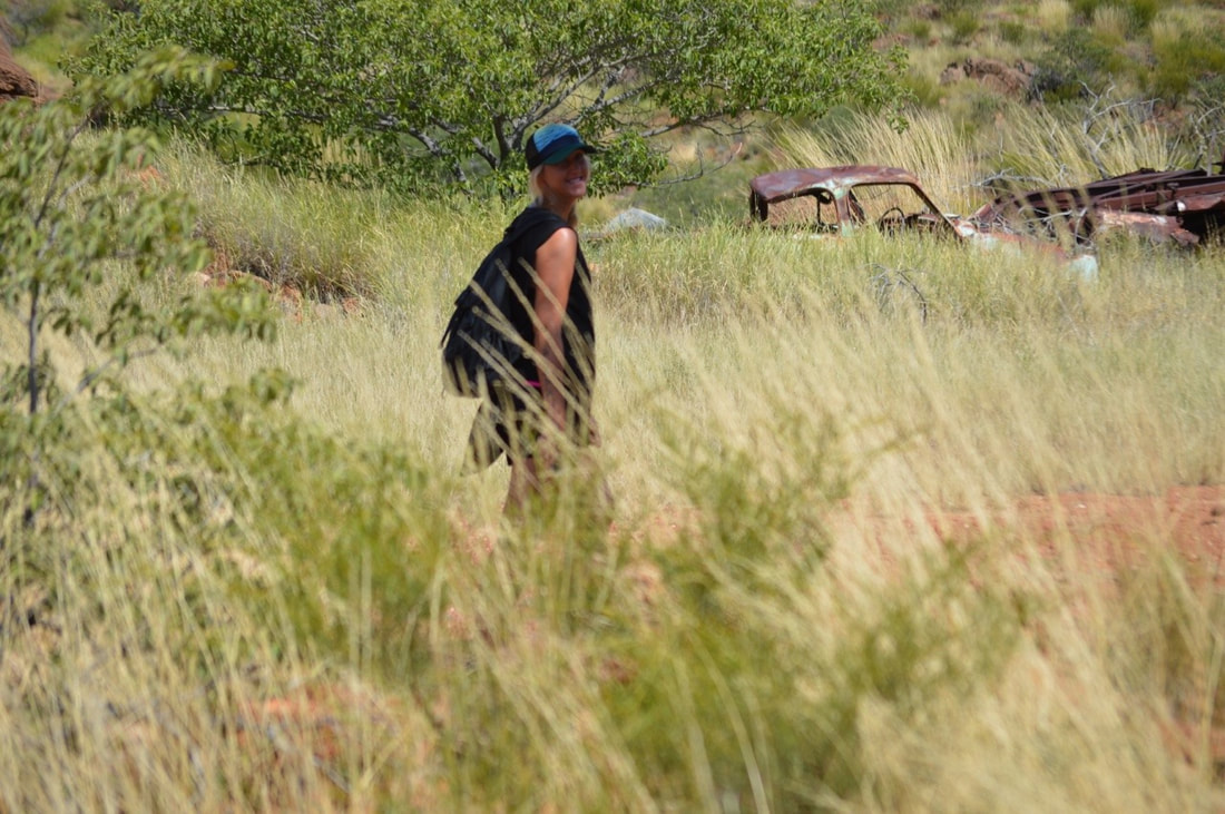
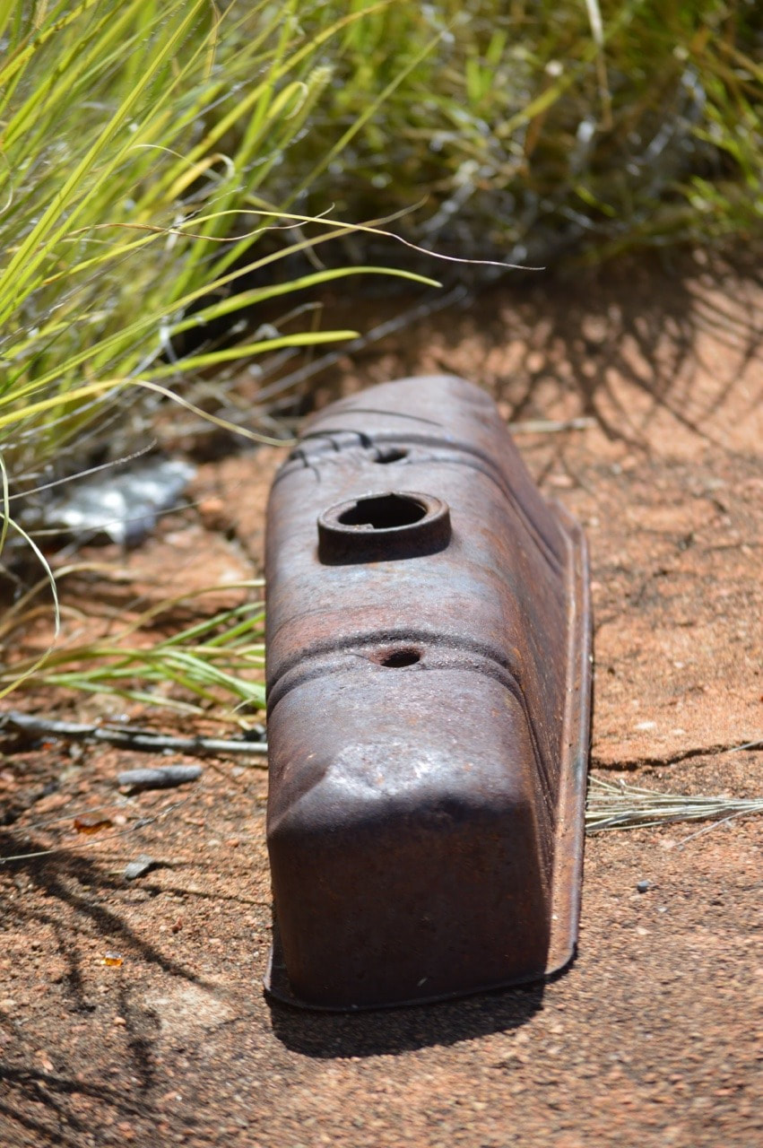
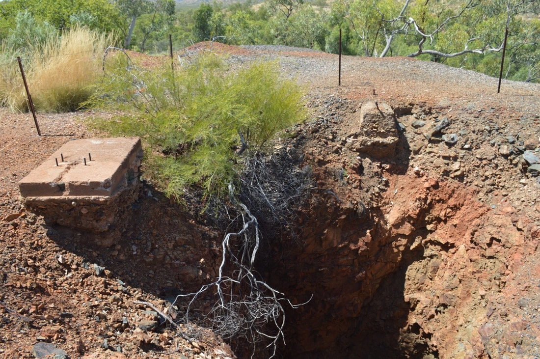
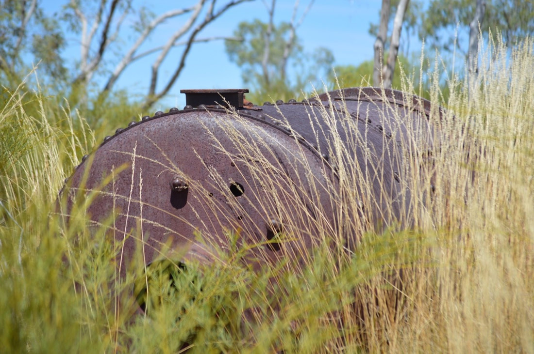 The town had a Post Office, Hotel, Cafe, Bakery, School and also became a hub for the Afghan camel teams that carted ore to the smelter. The area is located about 60kms east of Mount Isa, then approximately 7kms off the Barkly Highway. The dirt track up to the smelter required some serious off road skill, so we chose to leave Rex at the base and walk up, which was lovely and very picturesque. We located rusting car bodies dumped in later years and old remains of the smelter and shaft, which we are told is approximately 100mtrs deep. It's extremely fascinating investigating these abandoned towns and the remains of a bygone era.
|
The JourneyChoose Curiosity The Catalogue
November 2023
The Tags
All
|

 RSS Feed
