wild and free
  • Home
  • About
    • Chronicle
    • Self Portraits
  • Van
    • Life
  • Adventure
  • Base
    • Cairns
    • Mission Beach
    • Mount Isa
    • Geelong
  • Contact
  • Home
  • About
    • Chronicle
    • Self Portraits
  • Van
    • Life
  • Adventure
  • Base
    • Cairns
    • Mission Beach
    • Mount Isa
    • Geelong
  • Contact

Our Adventures

Marysville, Victoria

30/6/2018

 
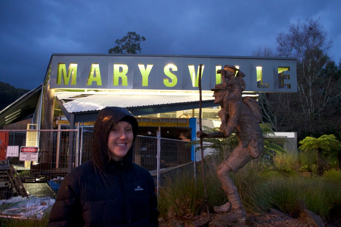
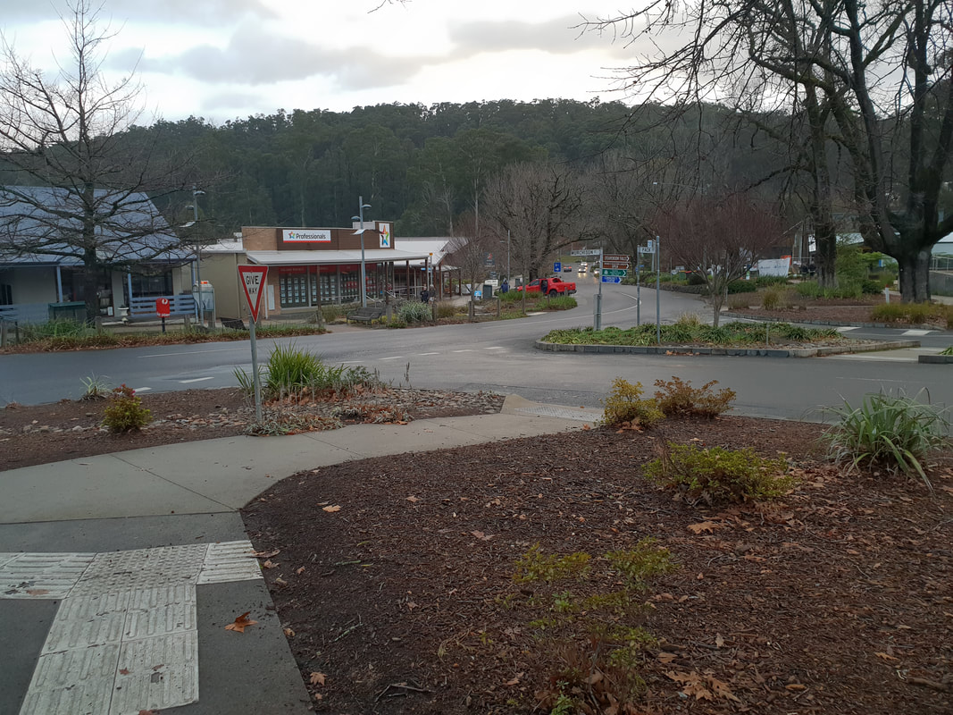
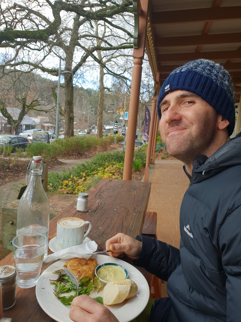
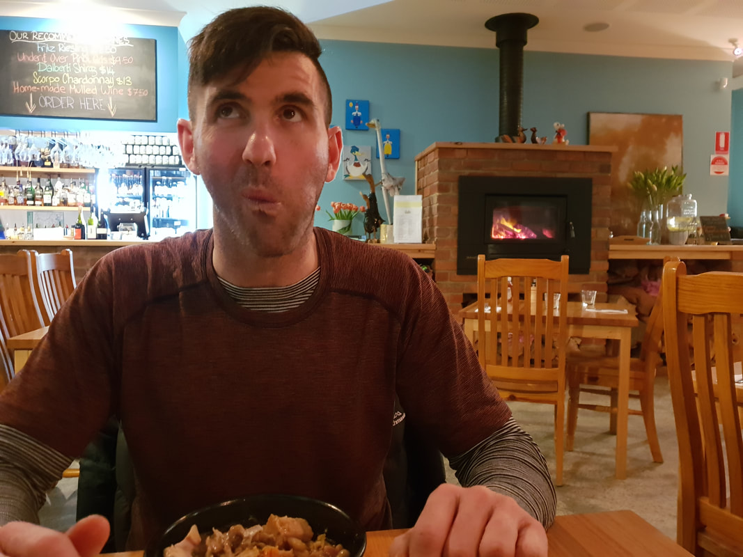
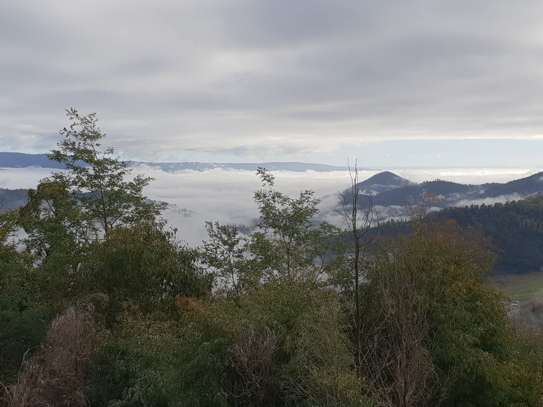
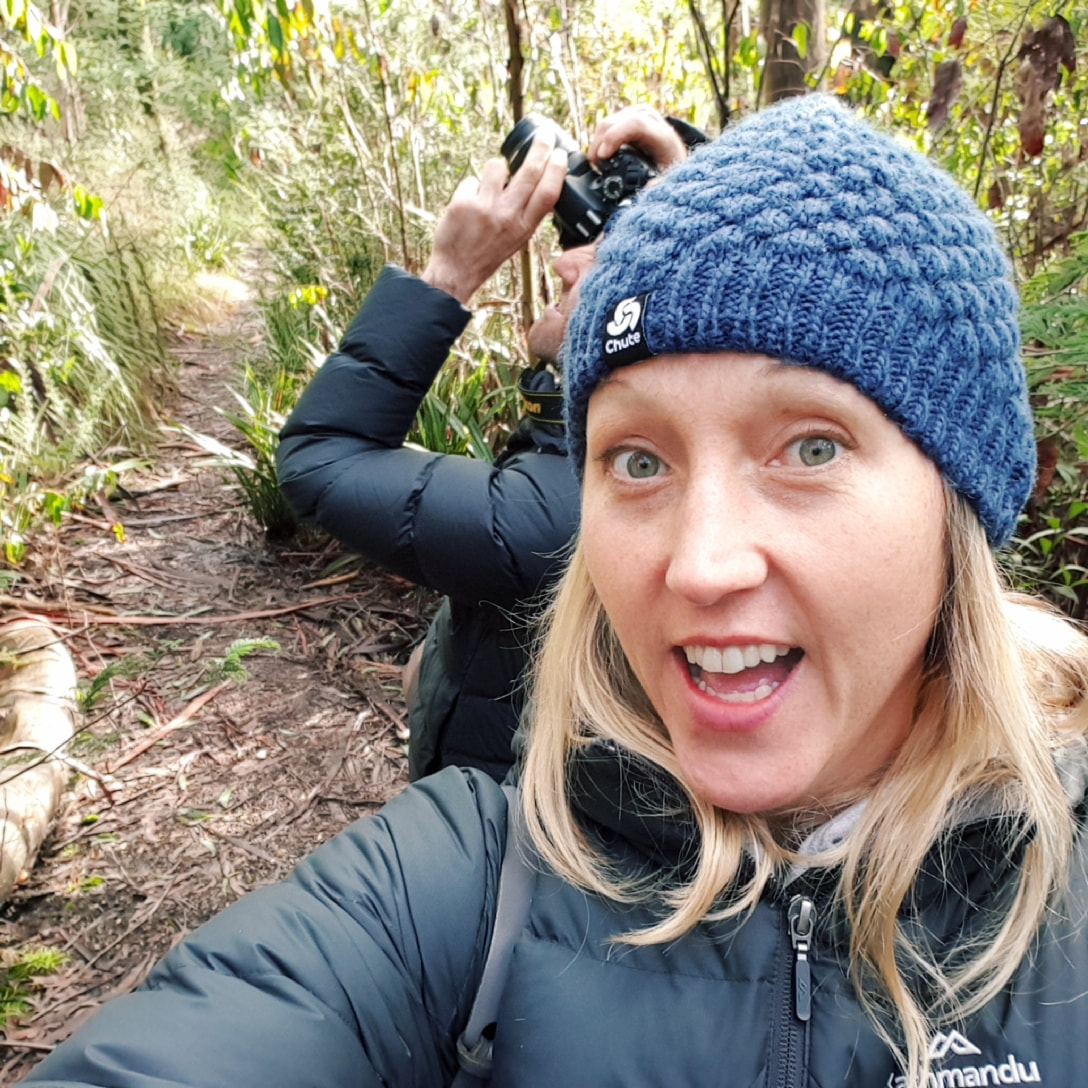
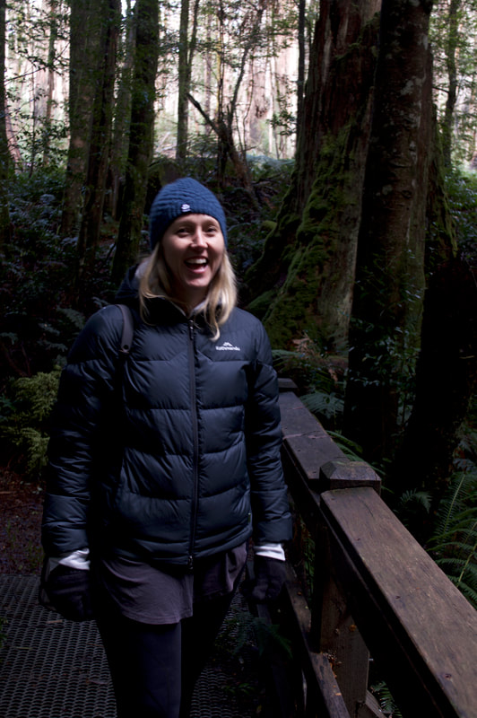
On the 7th February 2009 bushfires raged in many parts of Victoria. These fires on this day were to surpass Ash Wednesday, which occurred on  16th February 1982 as Victoria's worst bushfire disaster, taking 180 lives and severely impacting the township of Marysville. About 90% of the buildings in Marysville were destroyed in the blaze with 45 deaths. The population of the town went from 500 to about 200 after the fires, but has since grown to 400 with a steady increase to construction works and visitor numbers. Shovel and I really enjoyed visiting Marysville and loved the laidback atmosphere. Despite the overnight temperature of zero degrees we were snug in our tent 'Rex' and enjoyed a beautiful feed of Beef Cheek and a French HotPot at the Duck Inn in front of a log fire. 
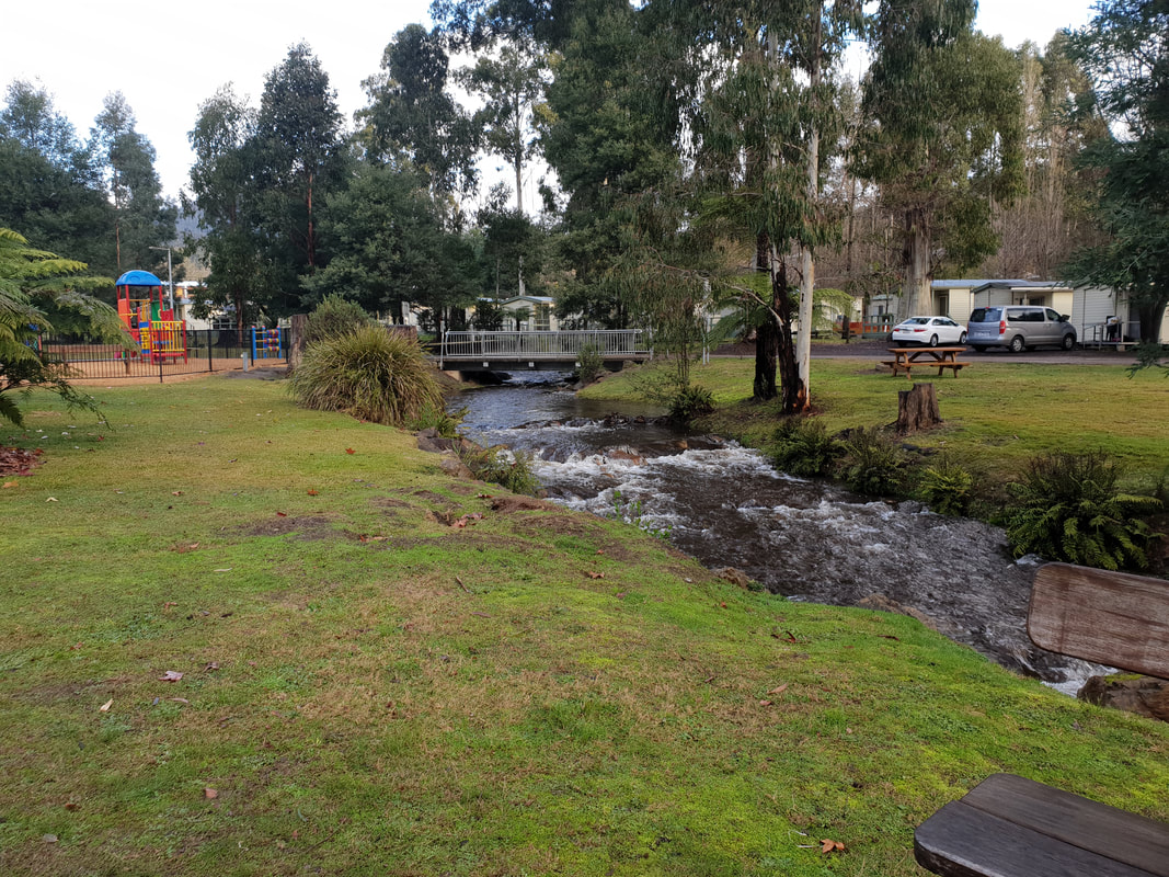
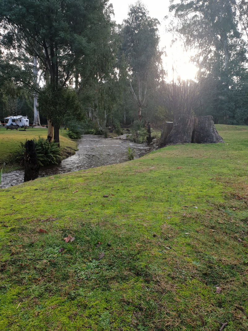
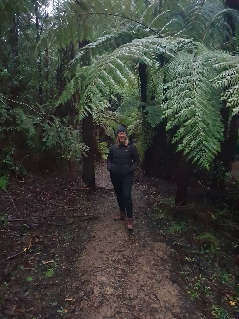
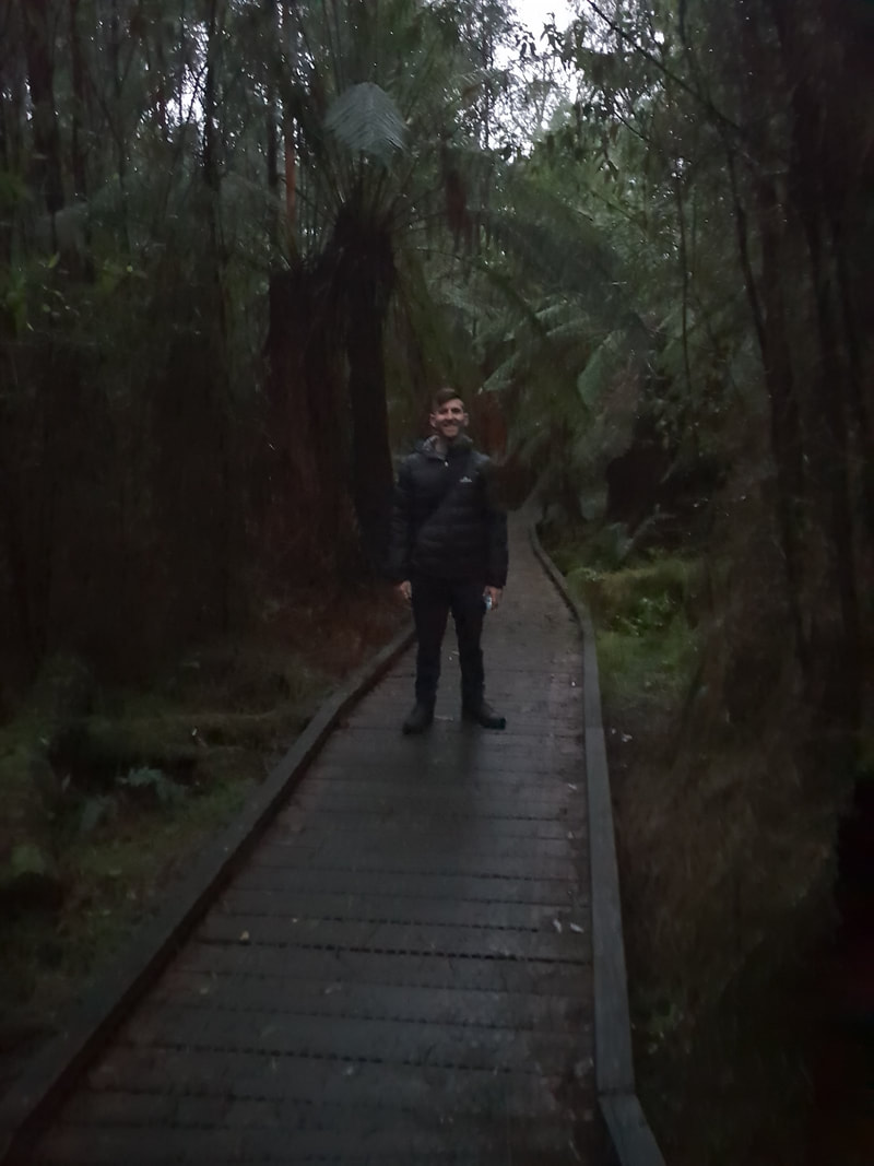
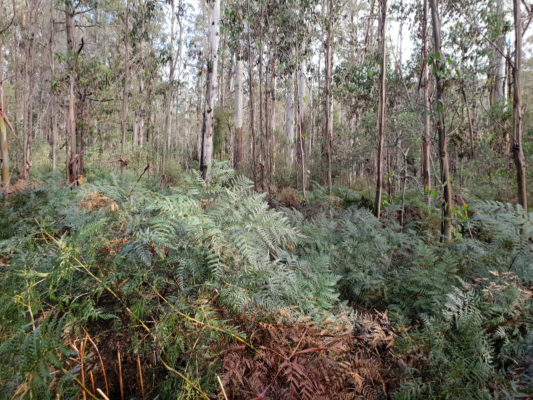
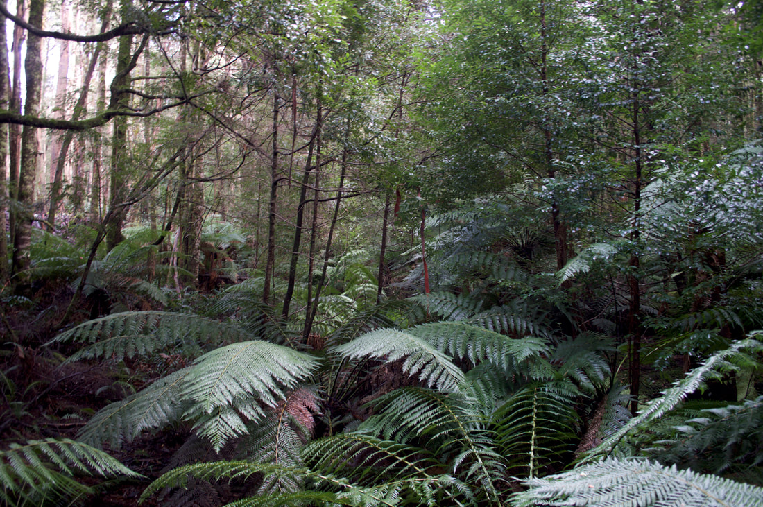
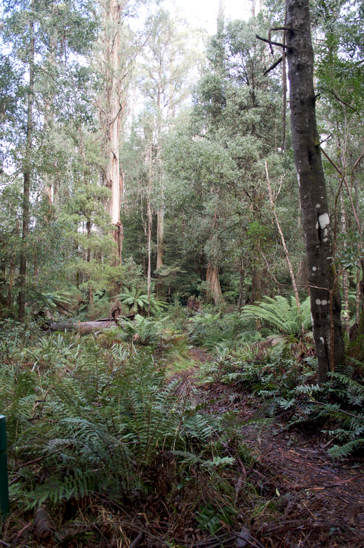
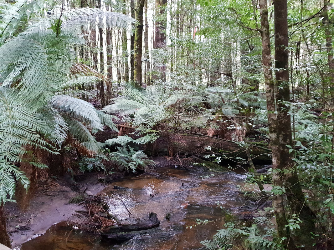
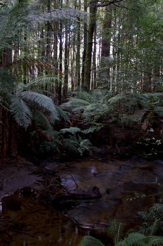
Picture
Picture
Picture
Picture
Picture
Picture
Picture
Picture
Picture

Beauty Spot Trail

This trail follows Leary Creek and is a 1.5 kilometre circuit that navigates through tree ferns and over a board walks. We were on the track prior to dusk and the sound of bird life was beautiful.
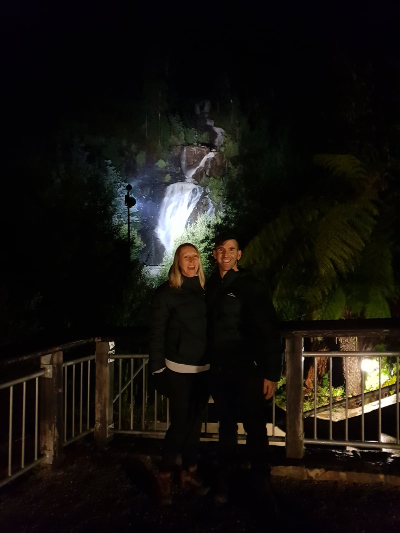
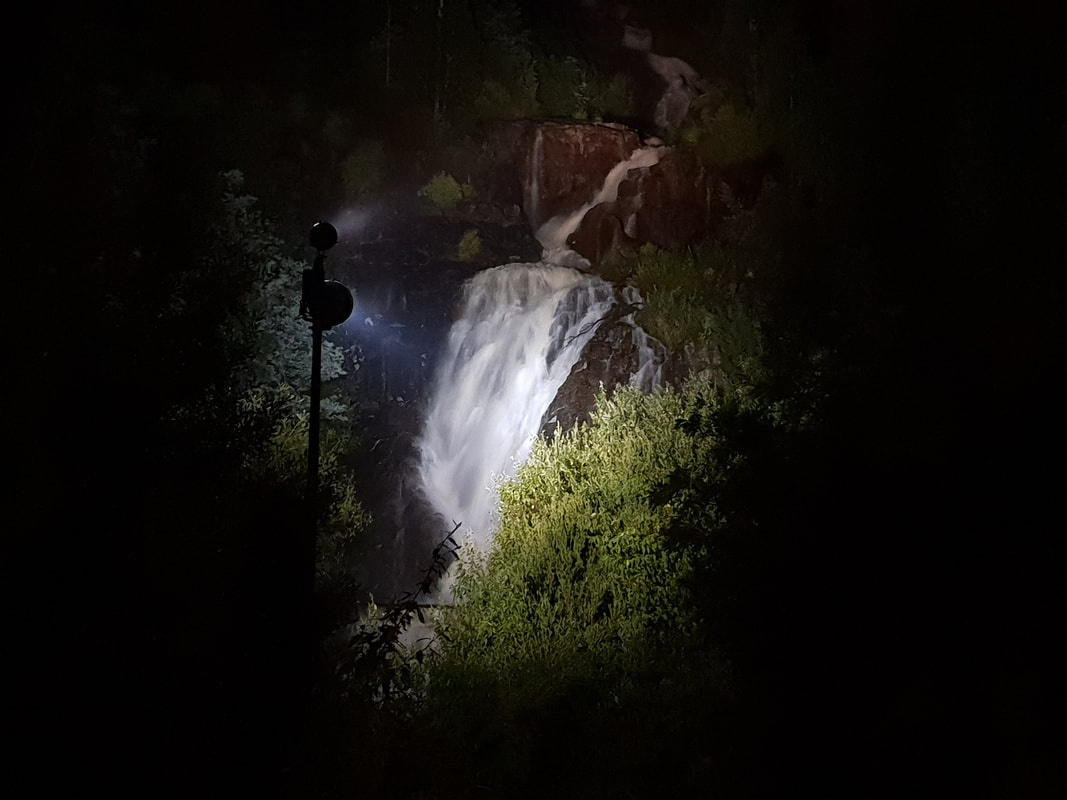
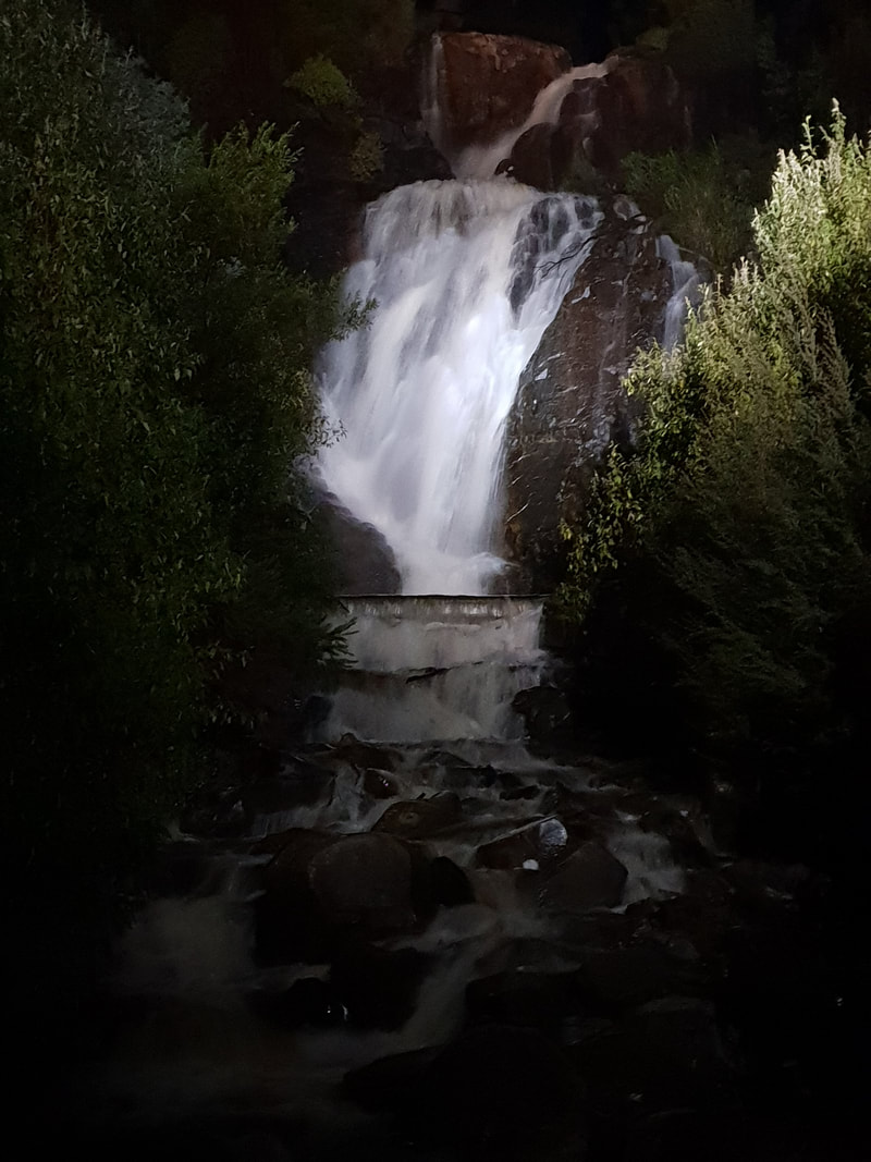
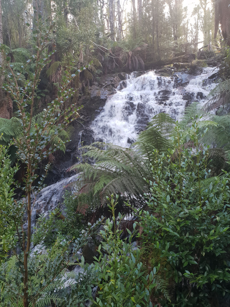
Picture
Picture
Picture
Picture
Picture
Picture

Steavenson Falls

Picture
Picture
Picture
These are the highest falls in Victoria with 5 tiers, falling a total of 122 metres. We viewed the falls at night and as you can see from the photos it was the perfect time to witness this spectacular cascading surge of crystal clear mountain water plunge into the river below.

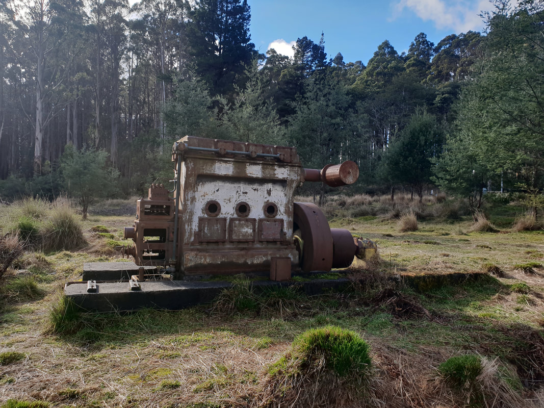
Drive to Cambarville Historic Township
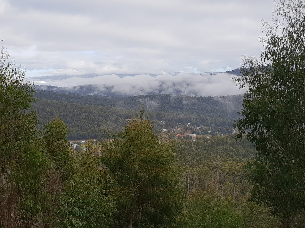
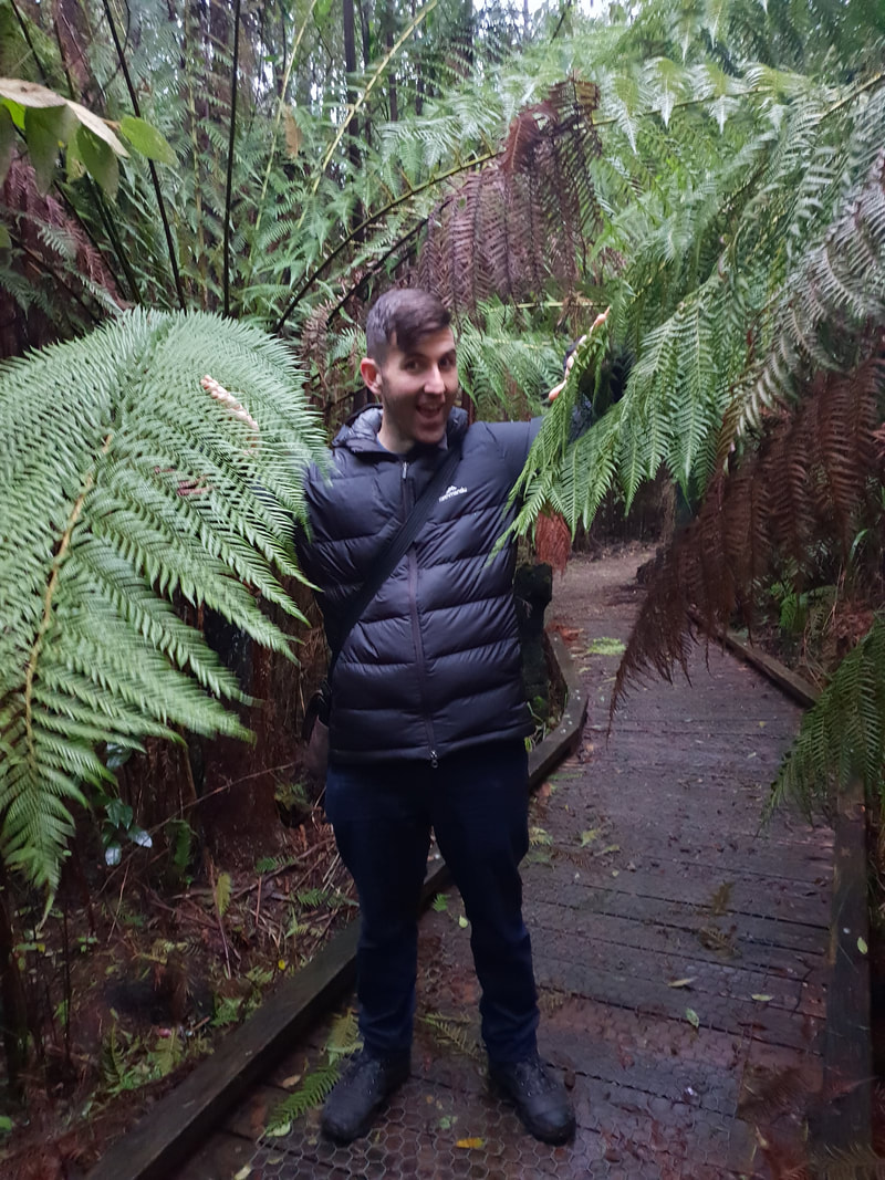
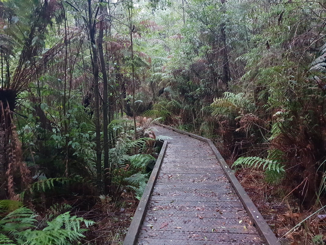
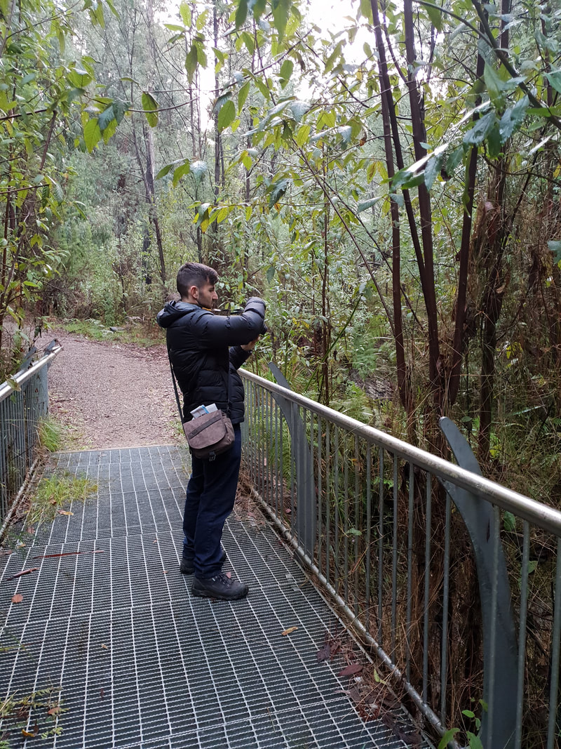
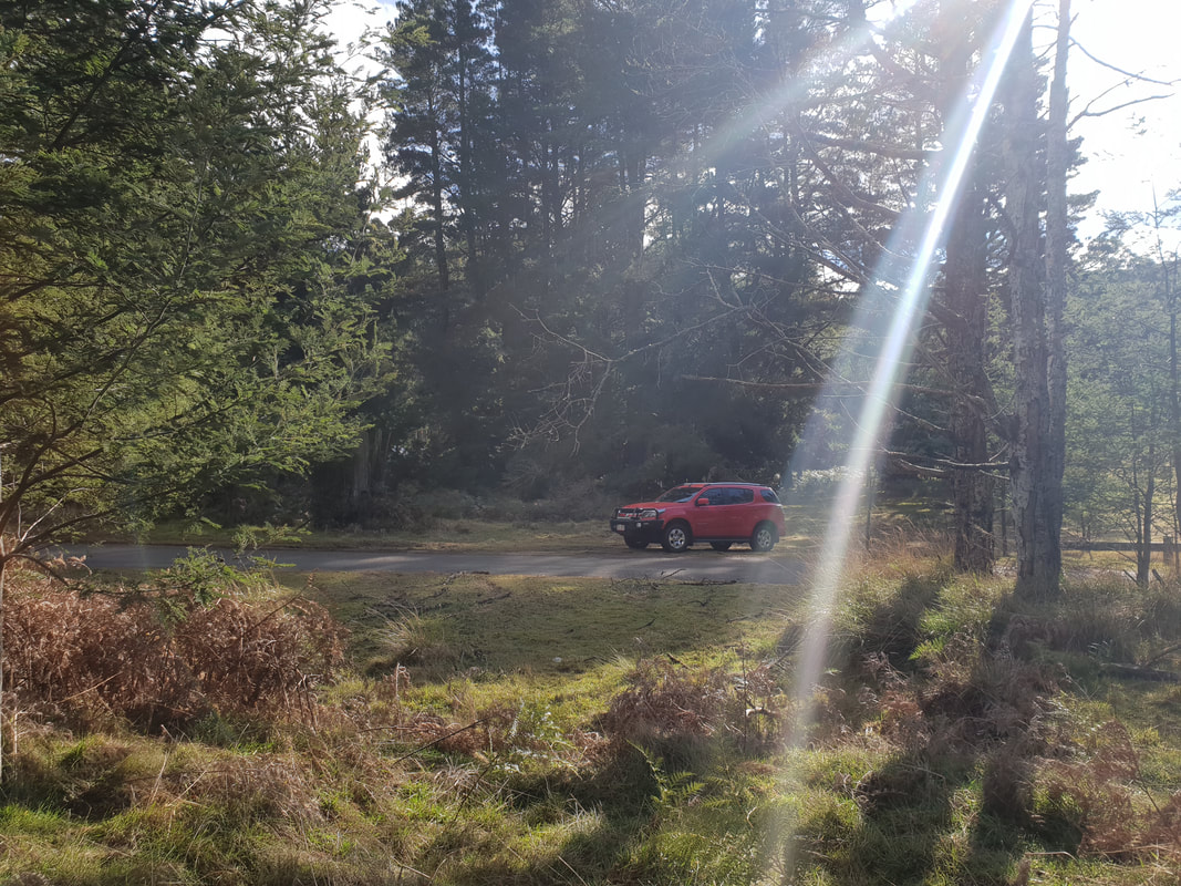
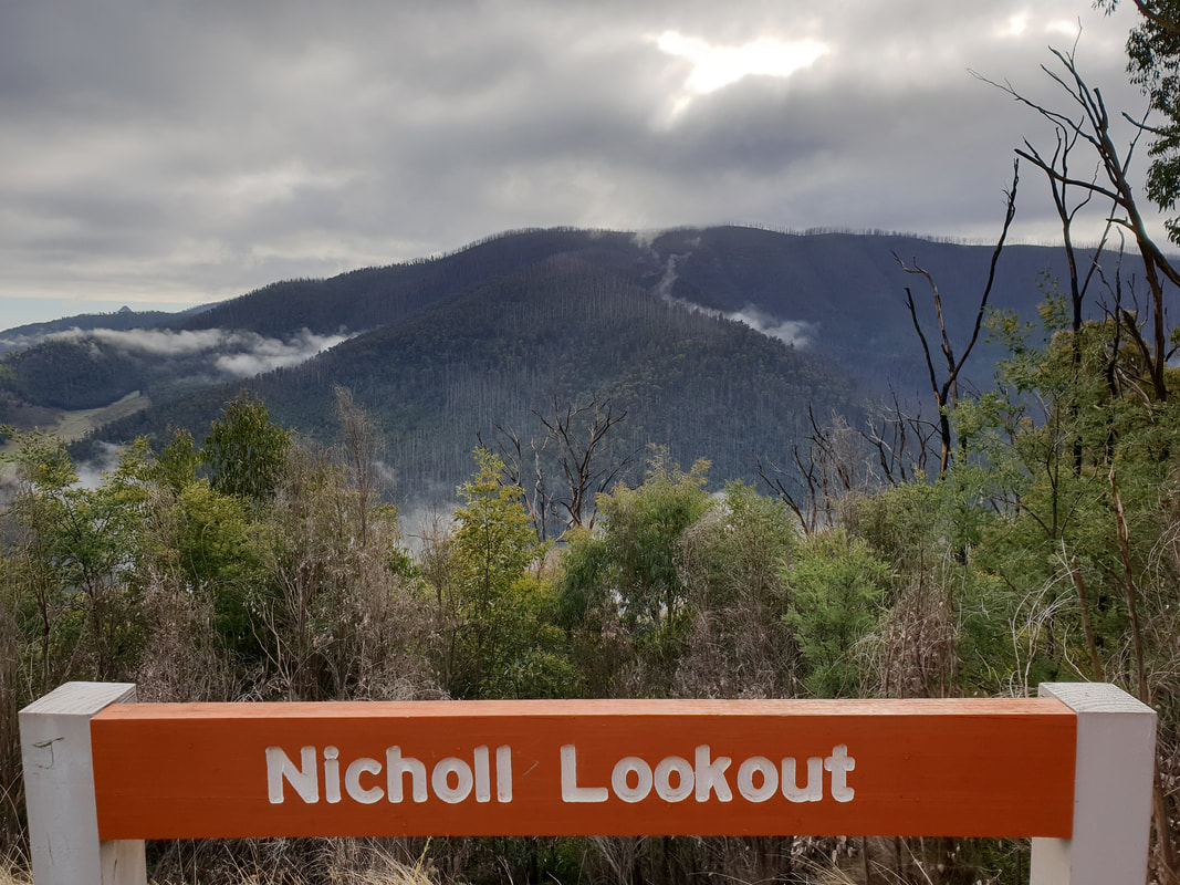
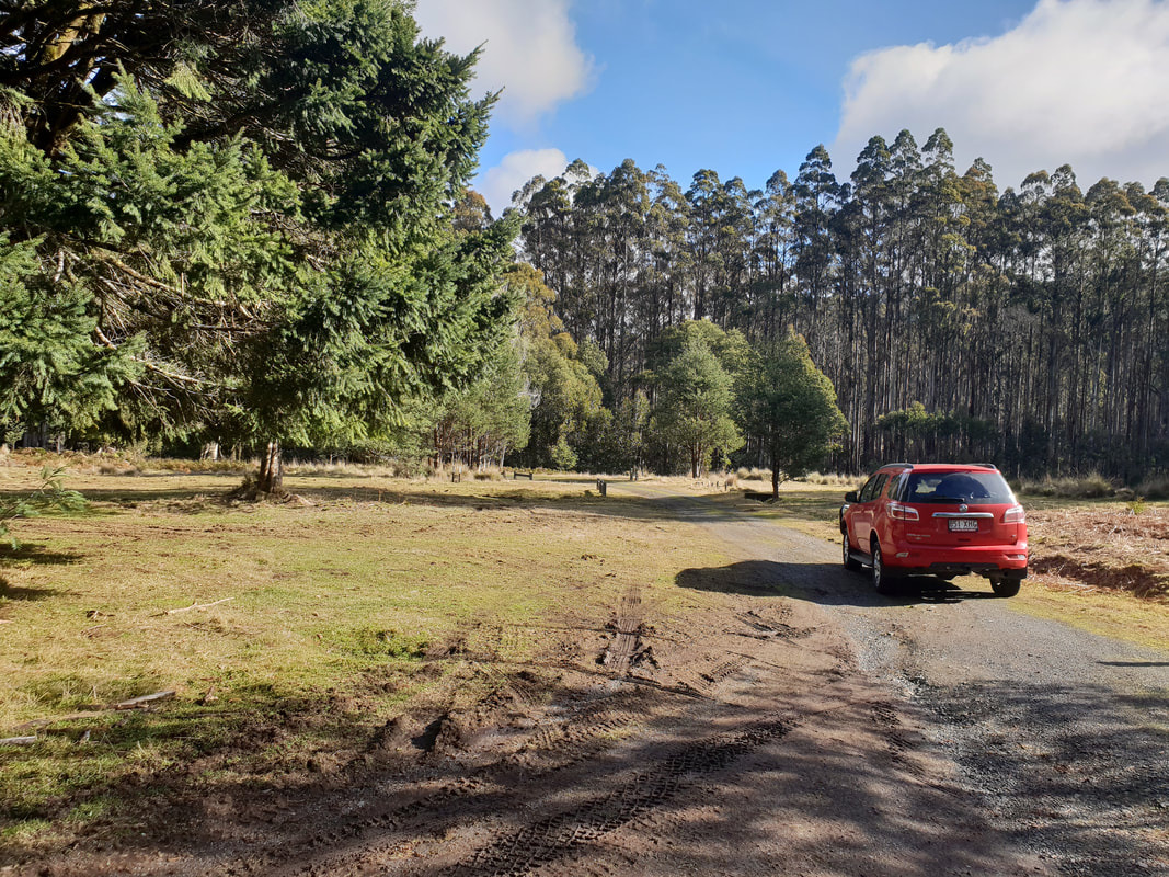
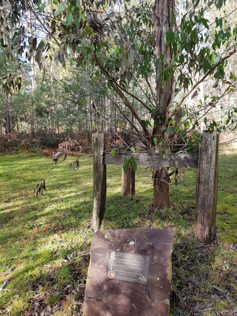
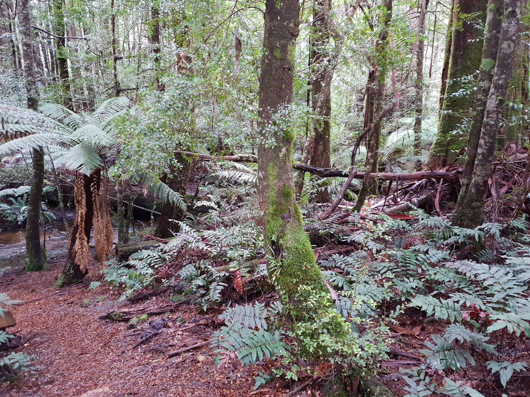
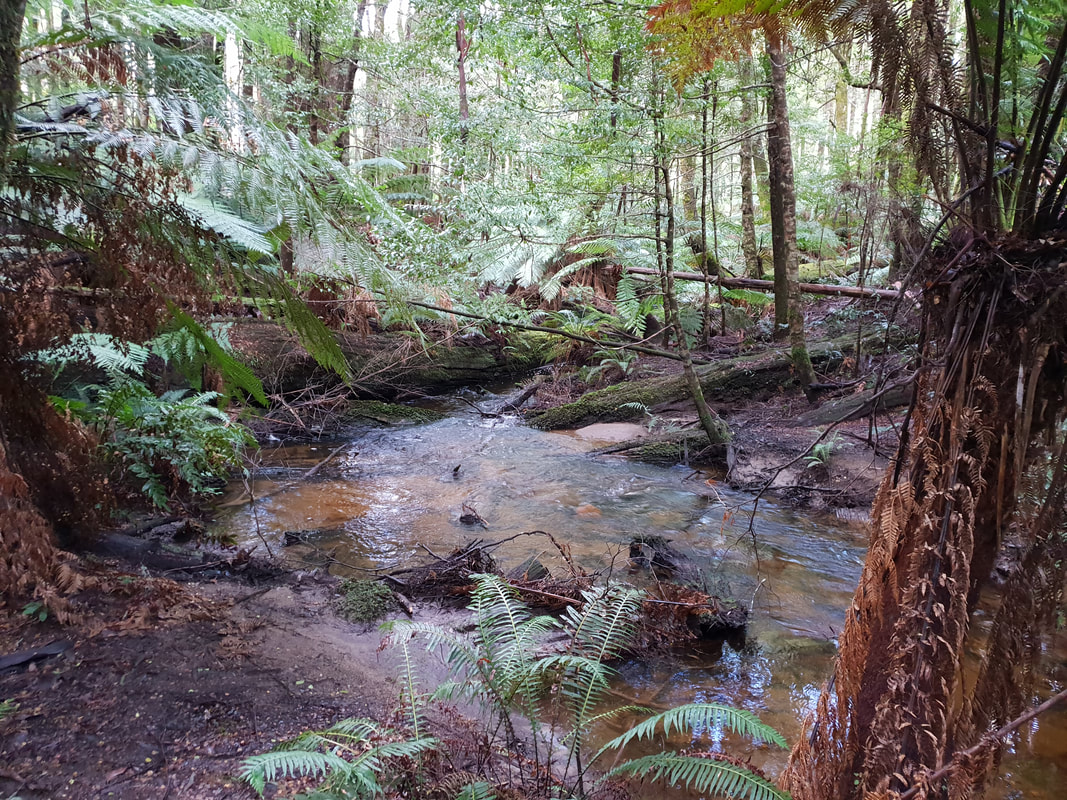
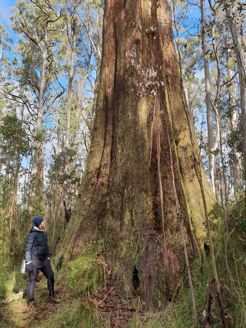
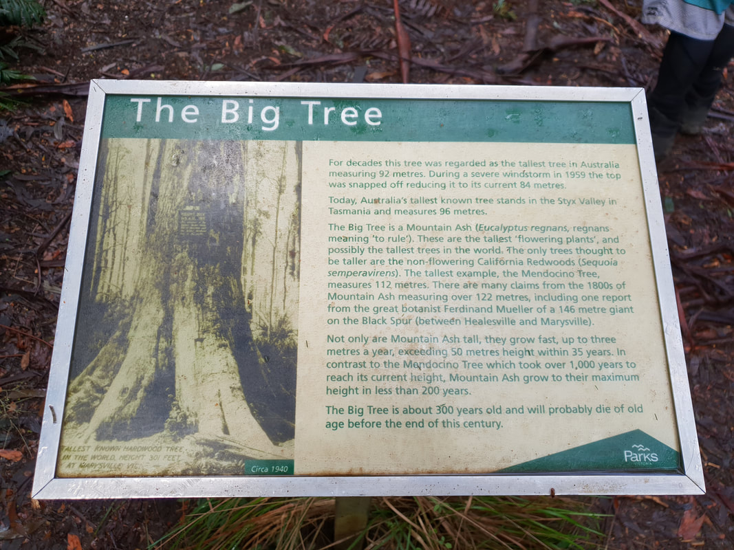
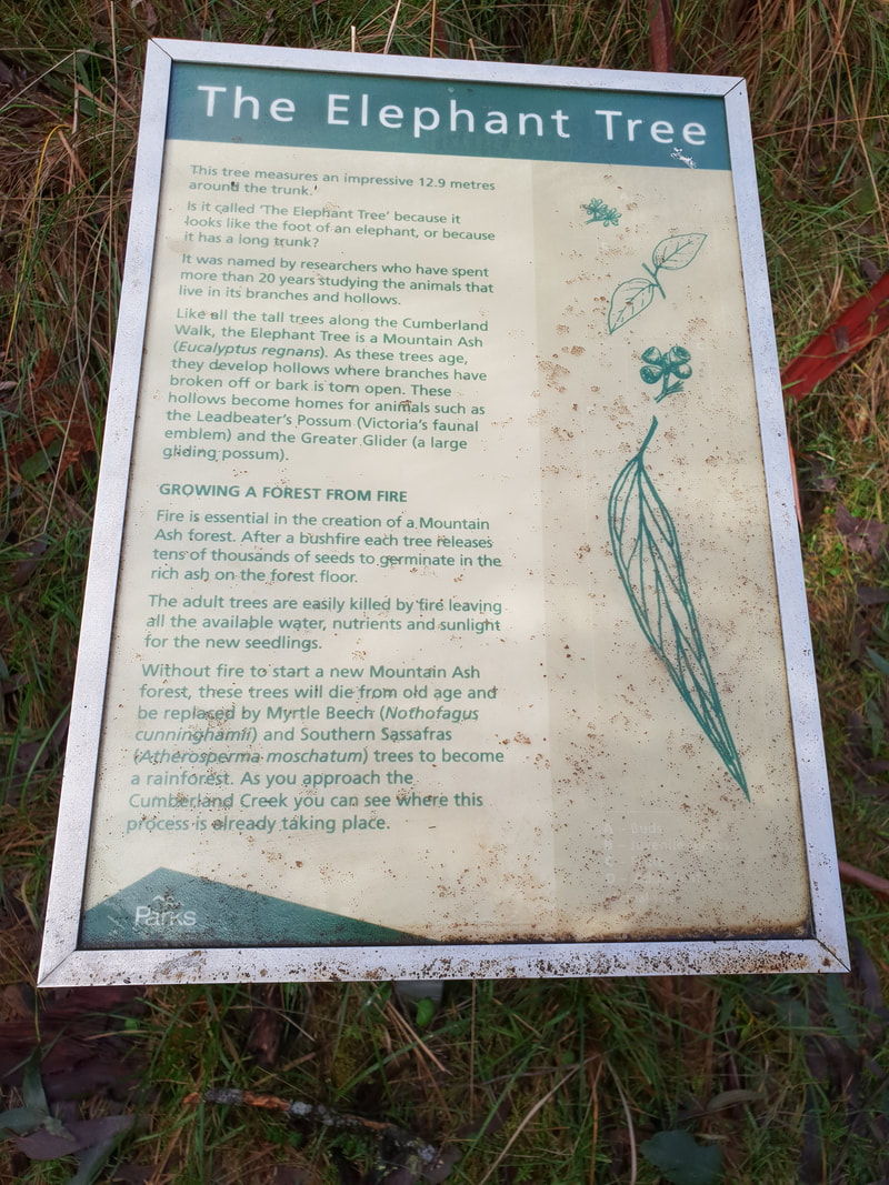
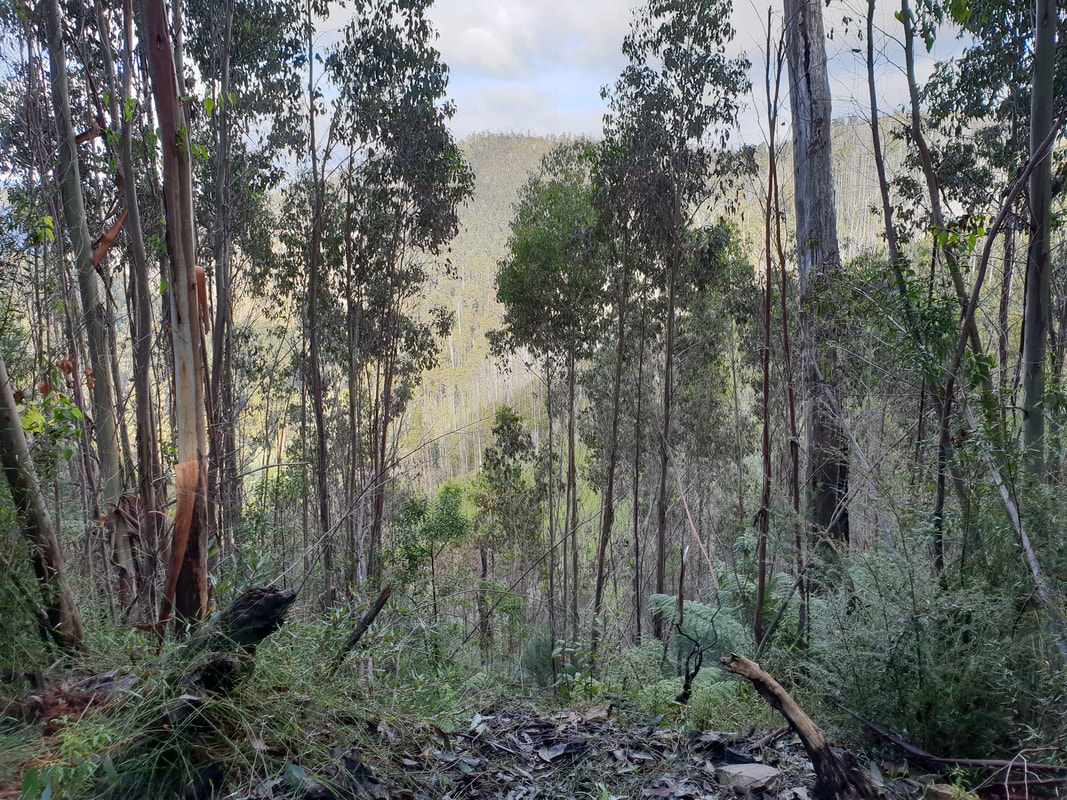
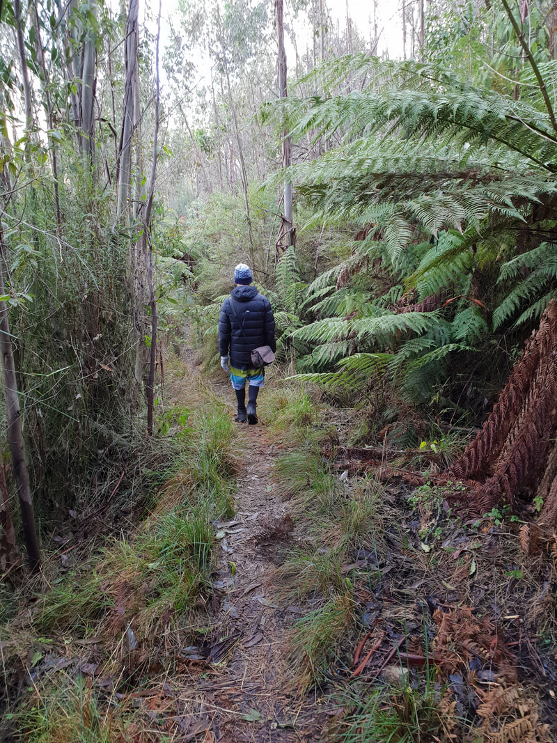
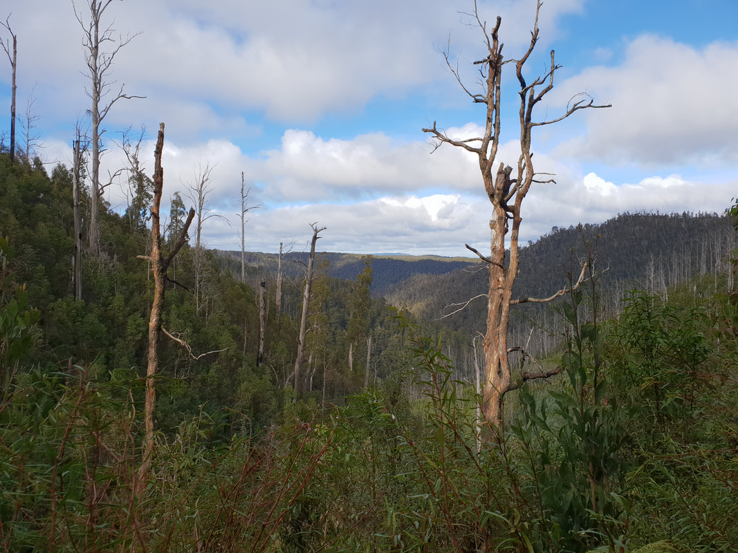
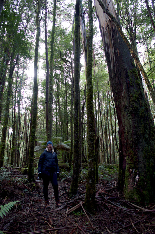
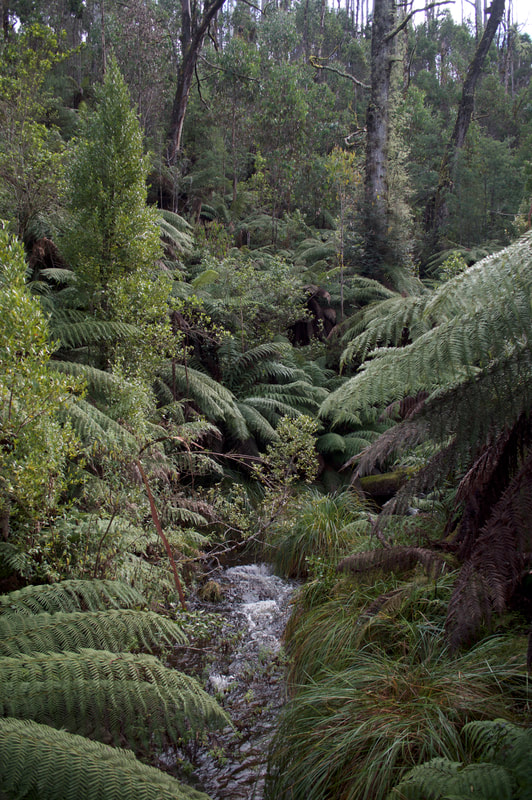
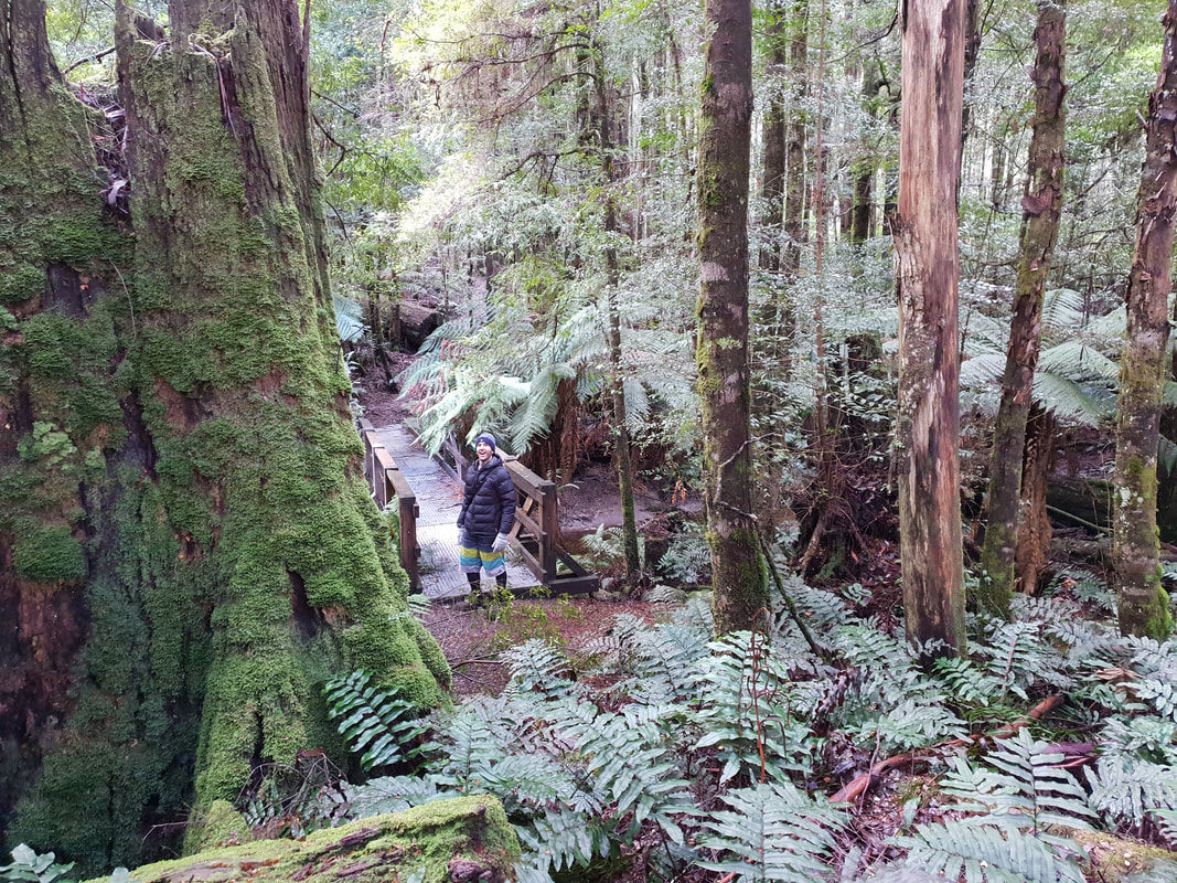
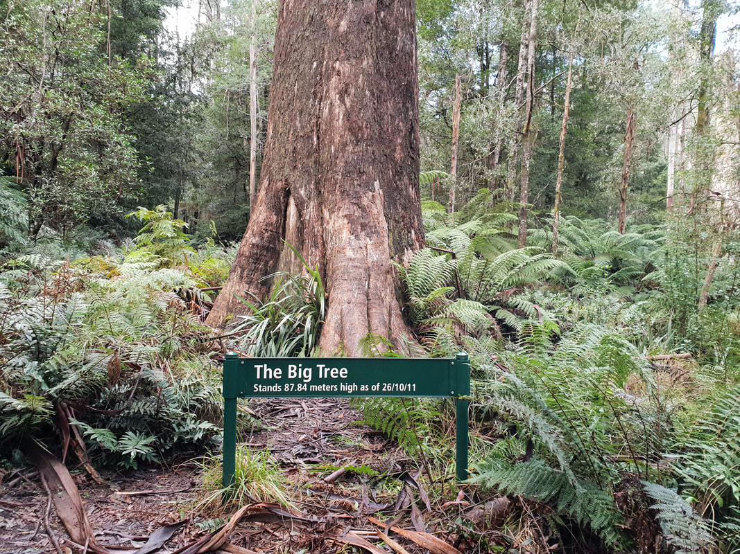
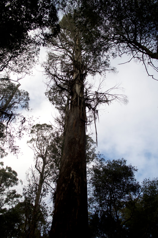
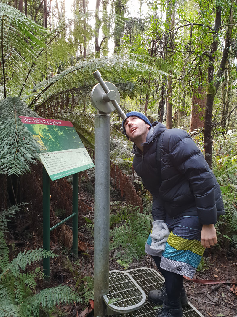
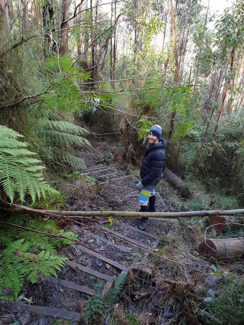
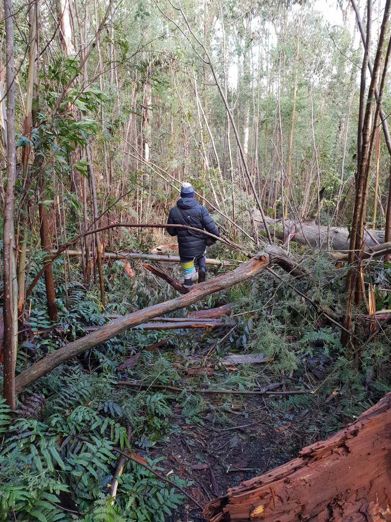
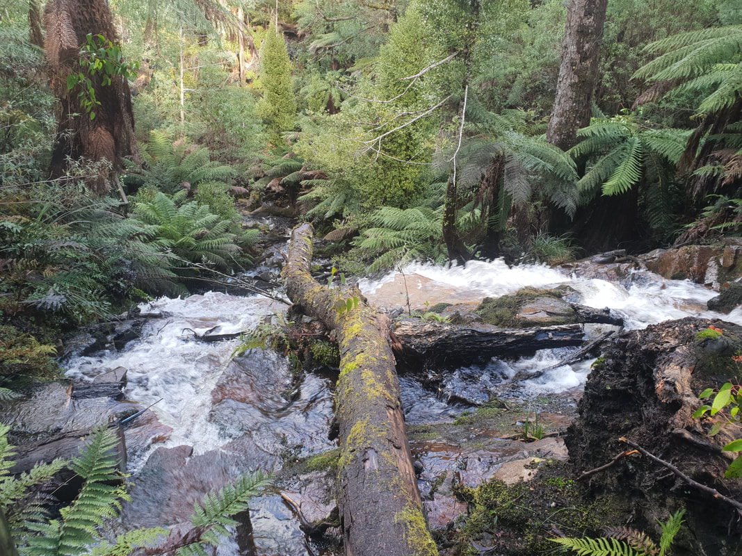
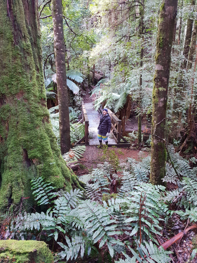
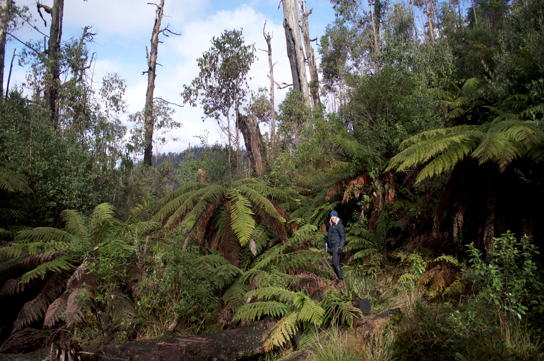
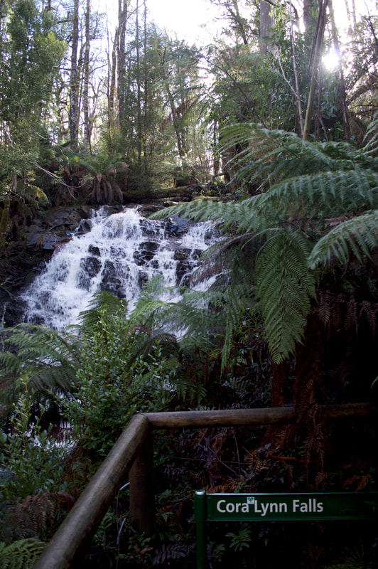
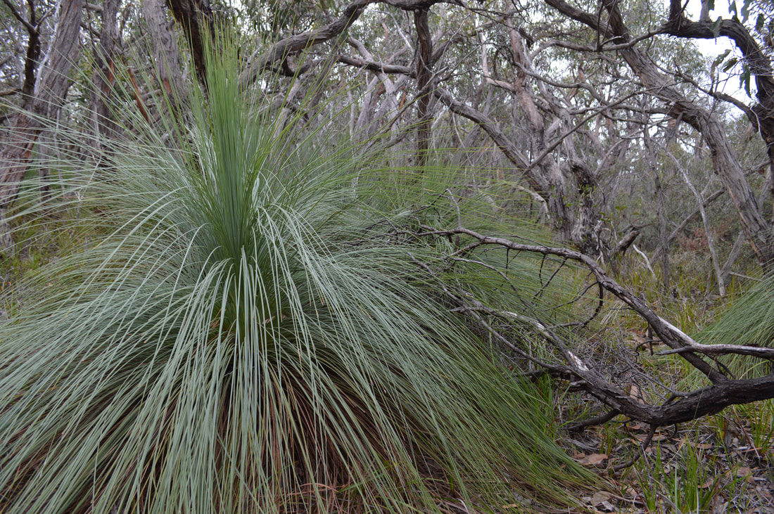
Picture
Picture
Picture
Picture
The near by township of Woods Point was a destination goldfield in the 1860's and Cambarville was an important stopping point on route. In the 1940's Cambarville became a timber mill town until 1971 when the mill was destroyed by fire and the population of the town rapidly declined.
Picture
Picture
Picture

Cumberland Walk

This walk located near the historic township of Cambarville, approximately 20 kilometres east of Marysville on the top edge of the Yarra Rangers was only a 4 kilometre circuit, but had us trekking through magnificent rainforest and bushland. We passed the tallest flowering trees in the world, rare mature-aged Mountain Ash. One of the highlights is 'The Big Tree' a Mountain Ash that has been dated to be about 400 years old and stands an impressive 85 metres high. The height of the Big Tree changes from year to year due to wind damage, but remains the tallest flowering tree in Victoria, if not the Southern Hemisphere. These Mountain Ash trees are second in height only to the California Redwood trees, these of which we were privileged to see in the Great Otway National Park. The walk also took us into a rainforest gorge to Cora Lyn Falls and we marvelled at the views as we glimpsed into the Cumberland Valley. 
Picture
Picture
Picture
Picture
Picture
Picture
Picture
Picture
Picture
Picture
Picture
Picture
Picture
Picture
Picture
Picture
Picture
Picture
Picture
Picture
Picture
Picture
Picture
Picture
Picture
Picture
Picture
Picture
Picture
Picture
Picture

Koorie Cultural Walk, Point Addis, Vic

24/6/2018

 
Picture
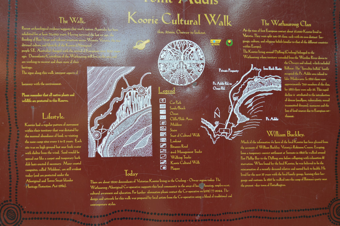
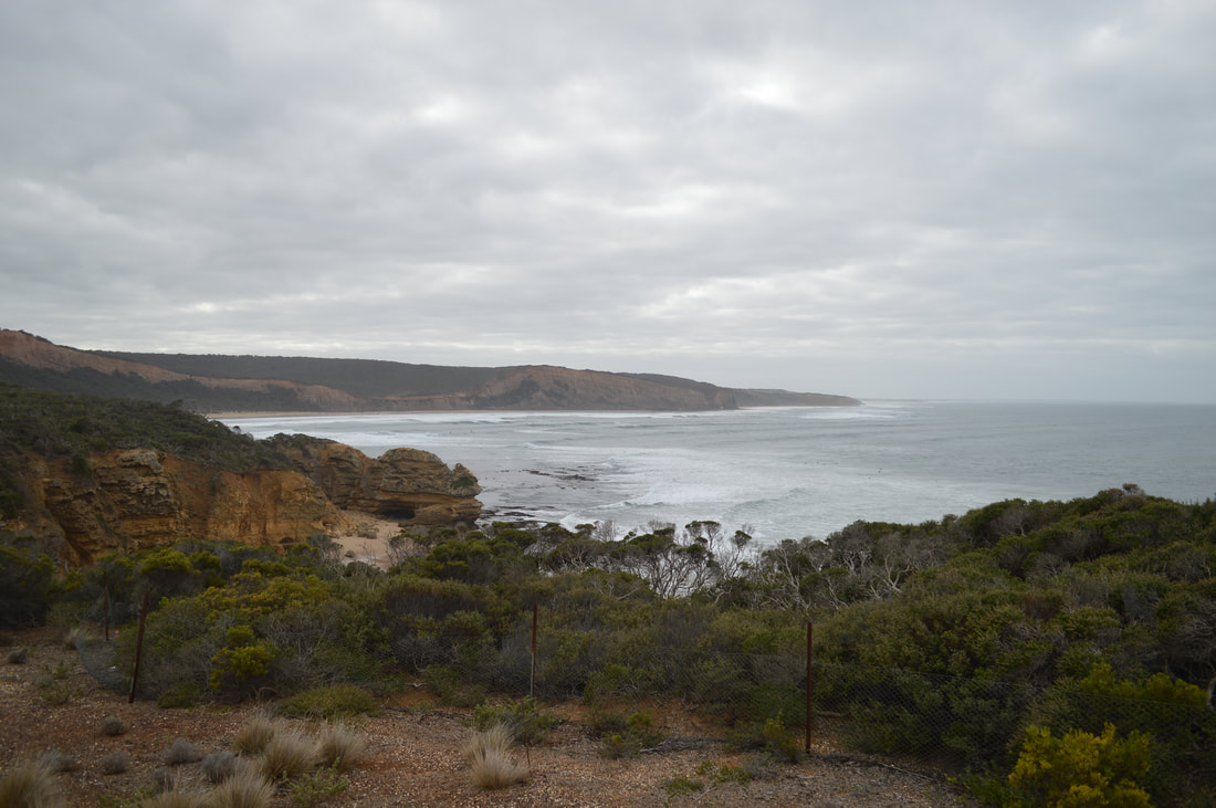
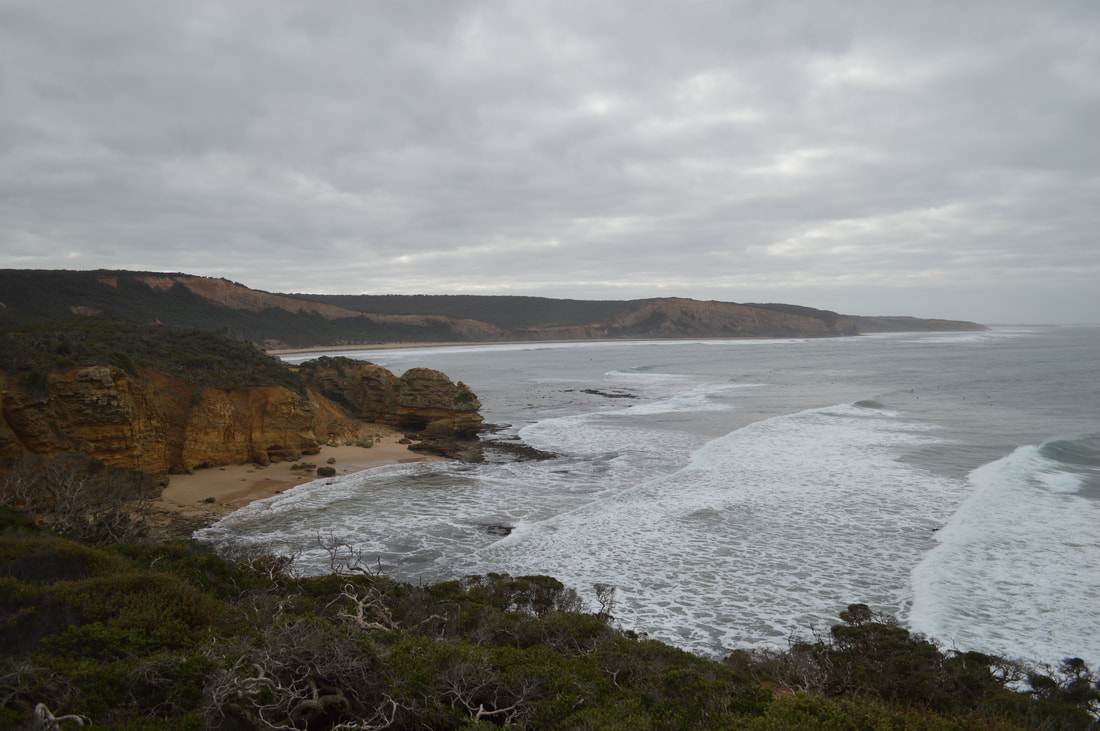
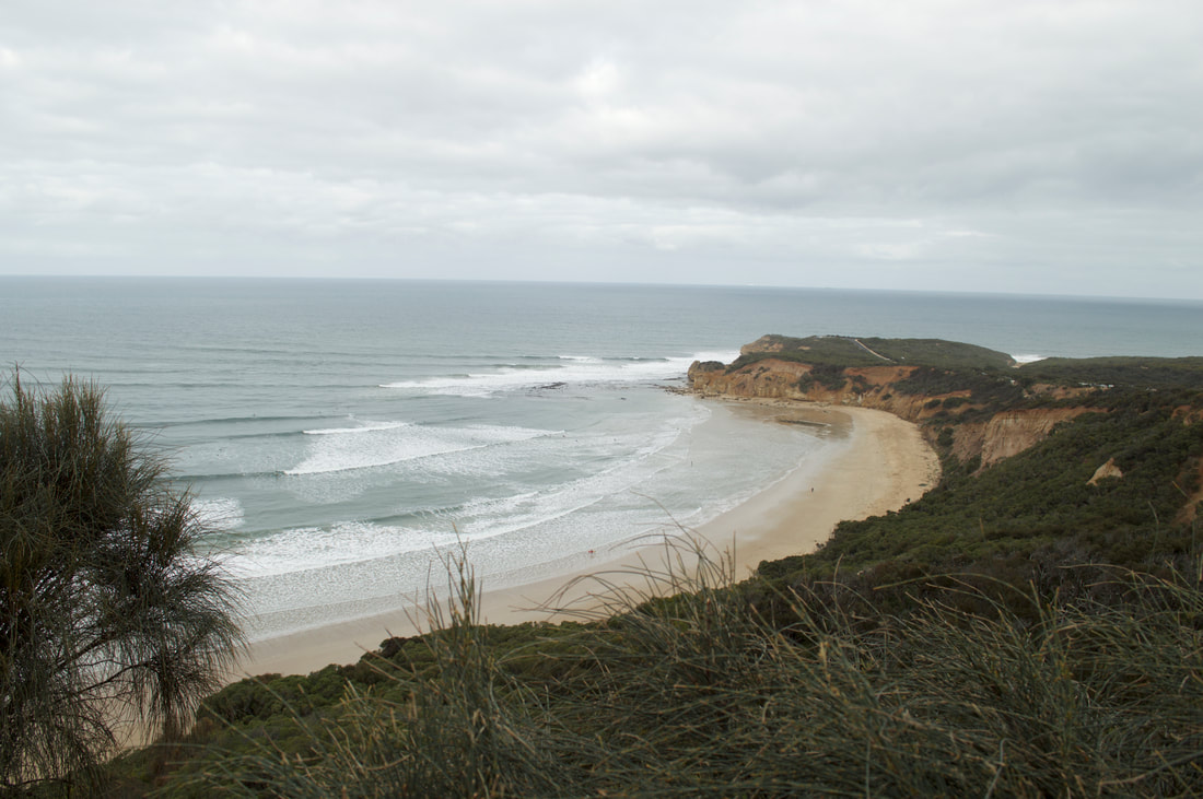
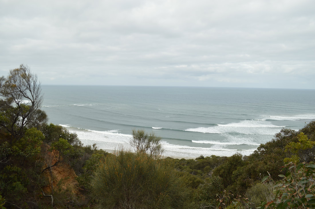
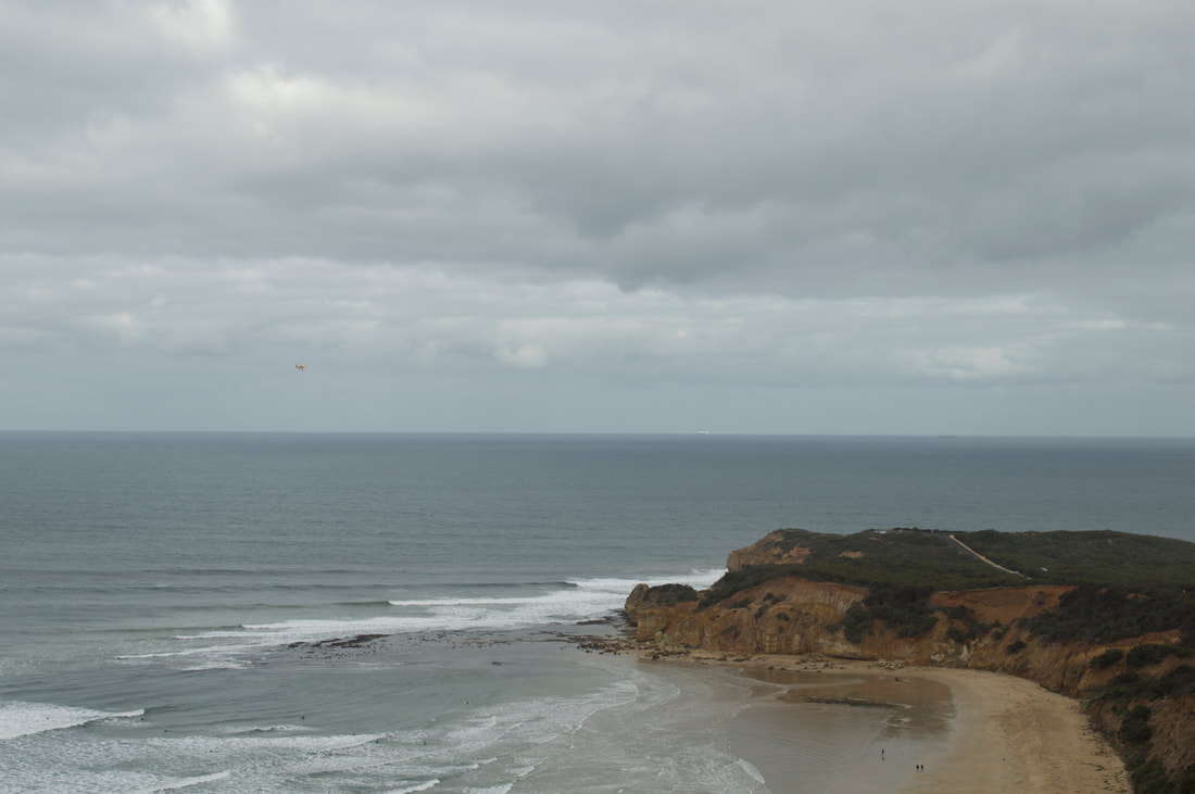
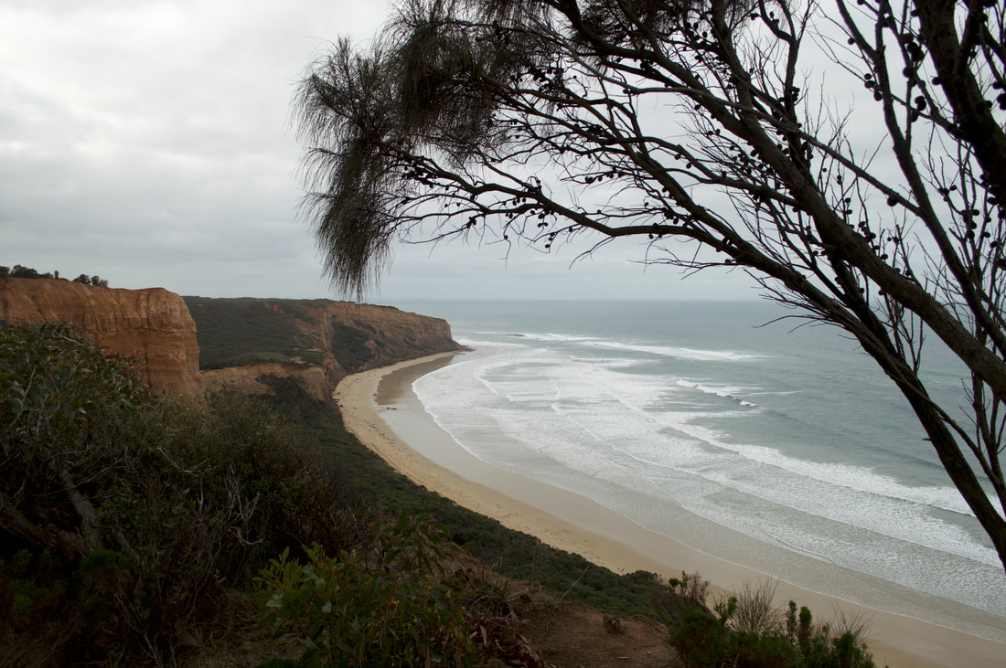
Point Addis is located about 10 kilometres west of Torquay along the SurfCoast, just past the world-famous Bells Beach. Gumby had caught a cold so we opted for a small adventure today, a few kilometre return walk to the Point Addis lookout along the Koorie Cultural Trail.  
Picture
Picture
Picture
Picture
Picture
Picture
Picture

You Yangs Regional Park, Victoria

3/6/2018


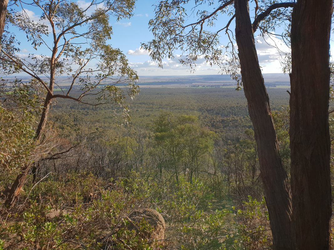
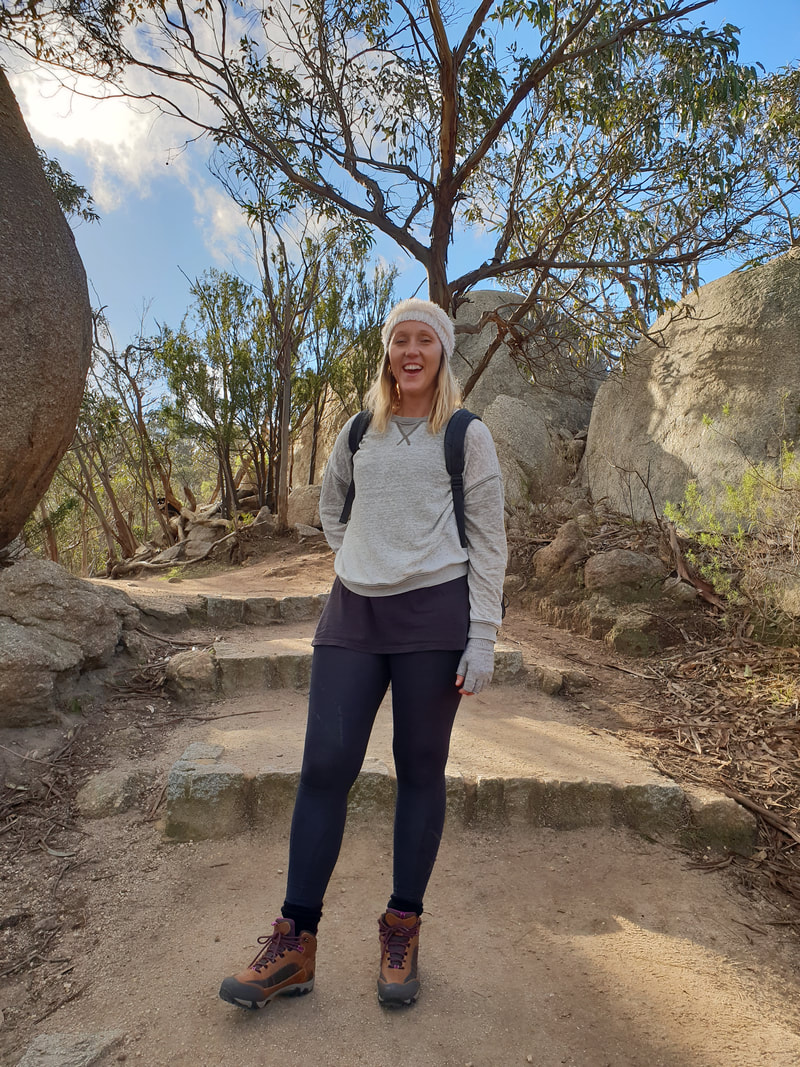
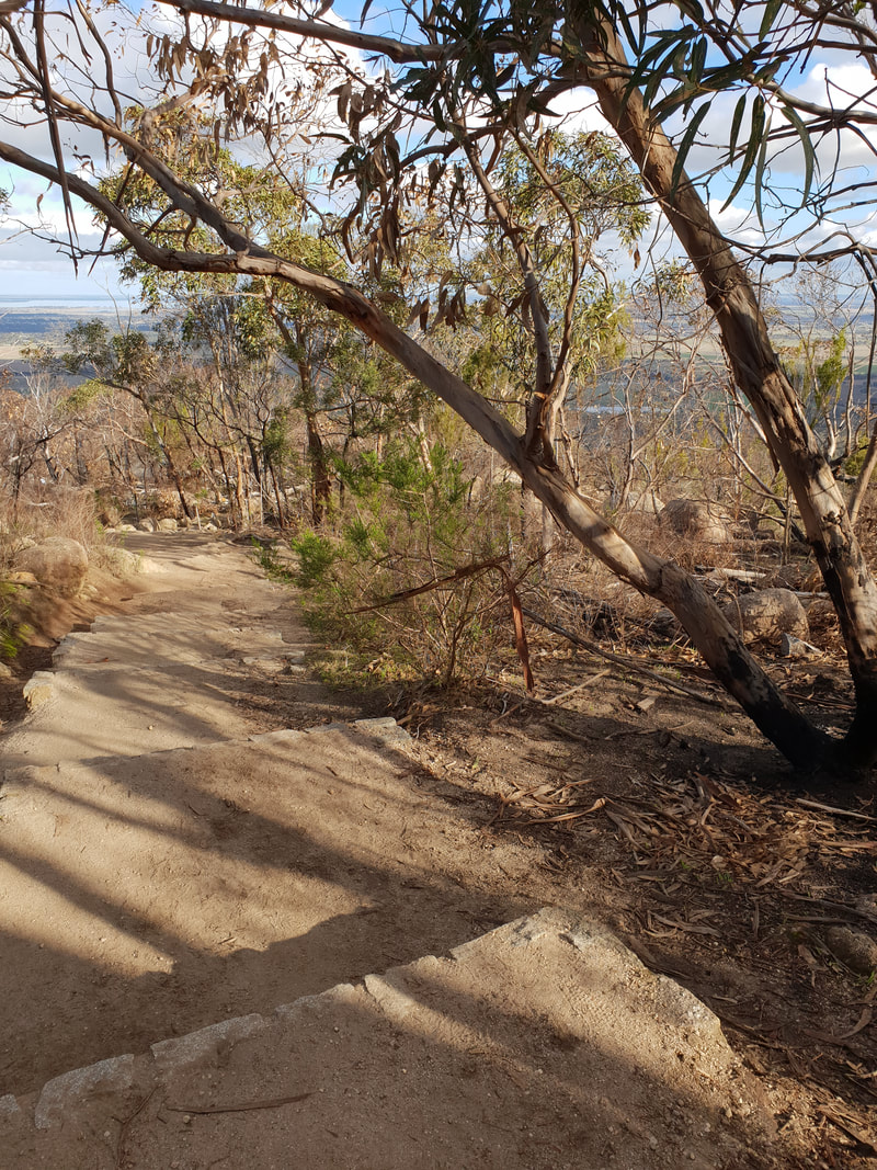
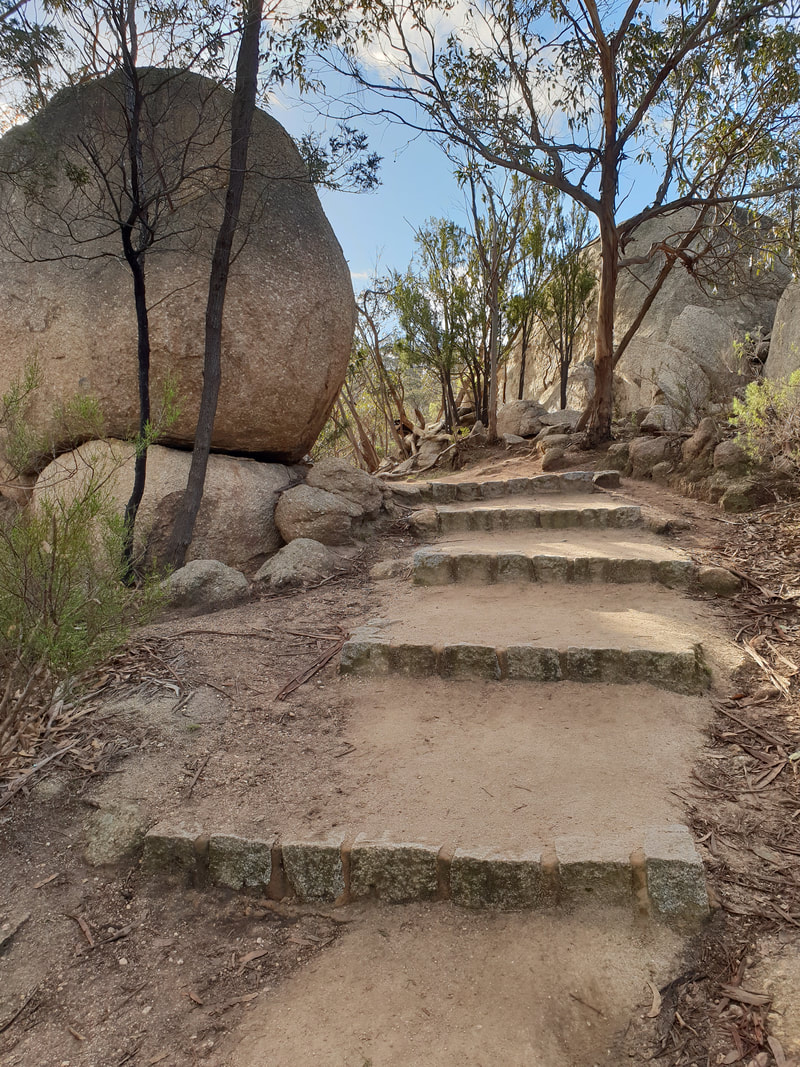
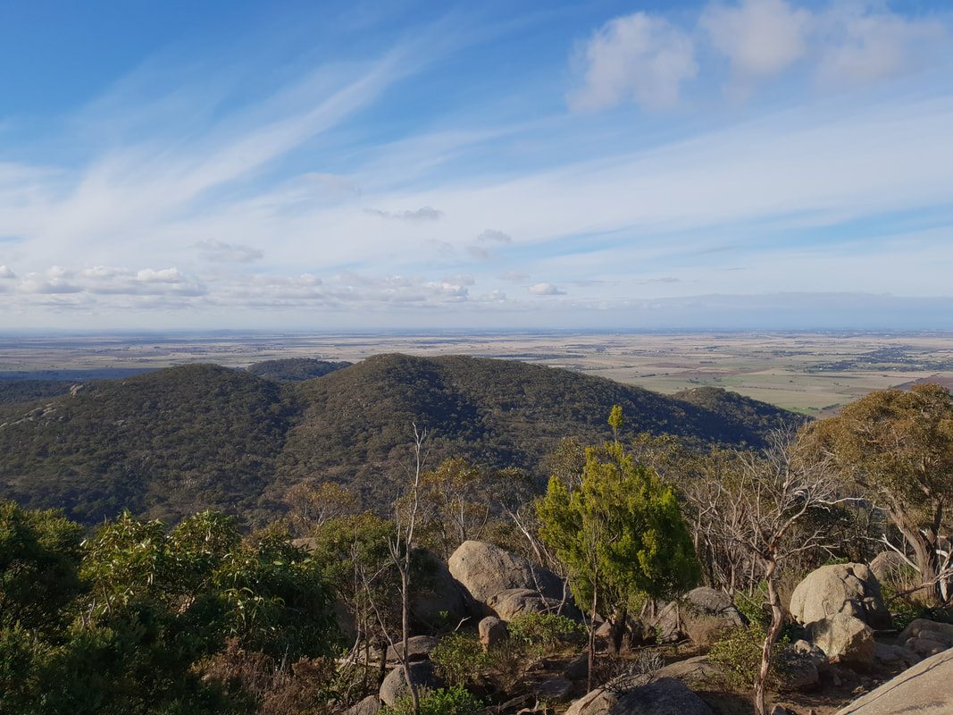
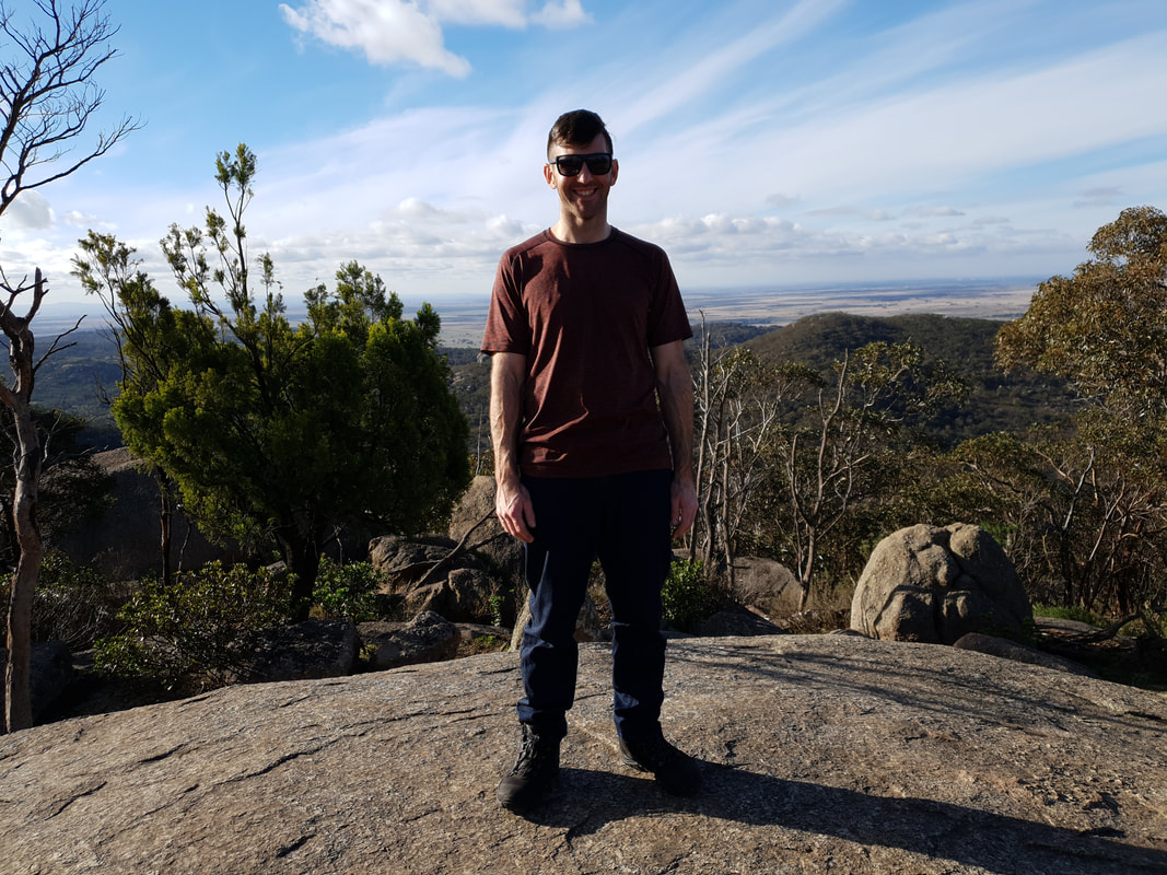
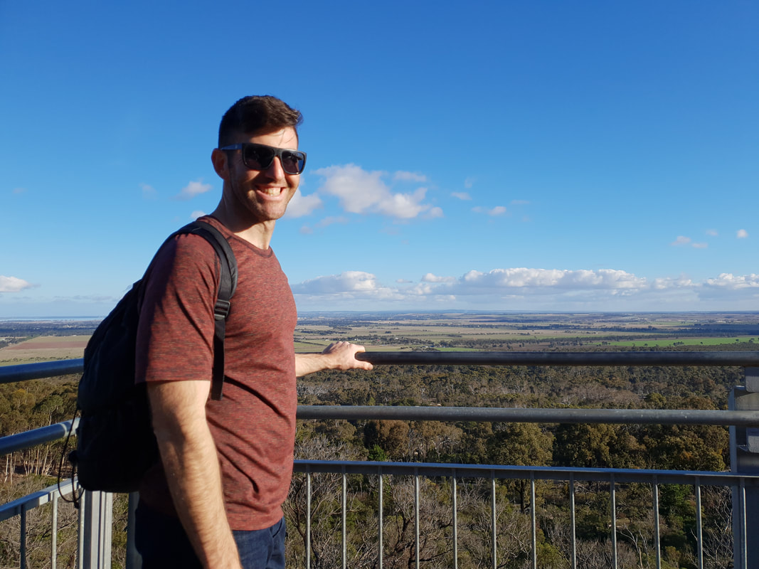
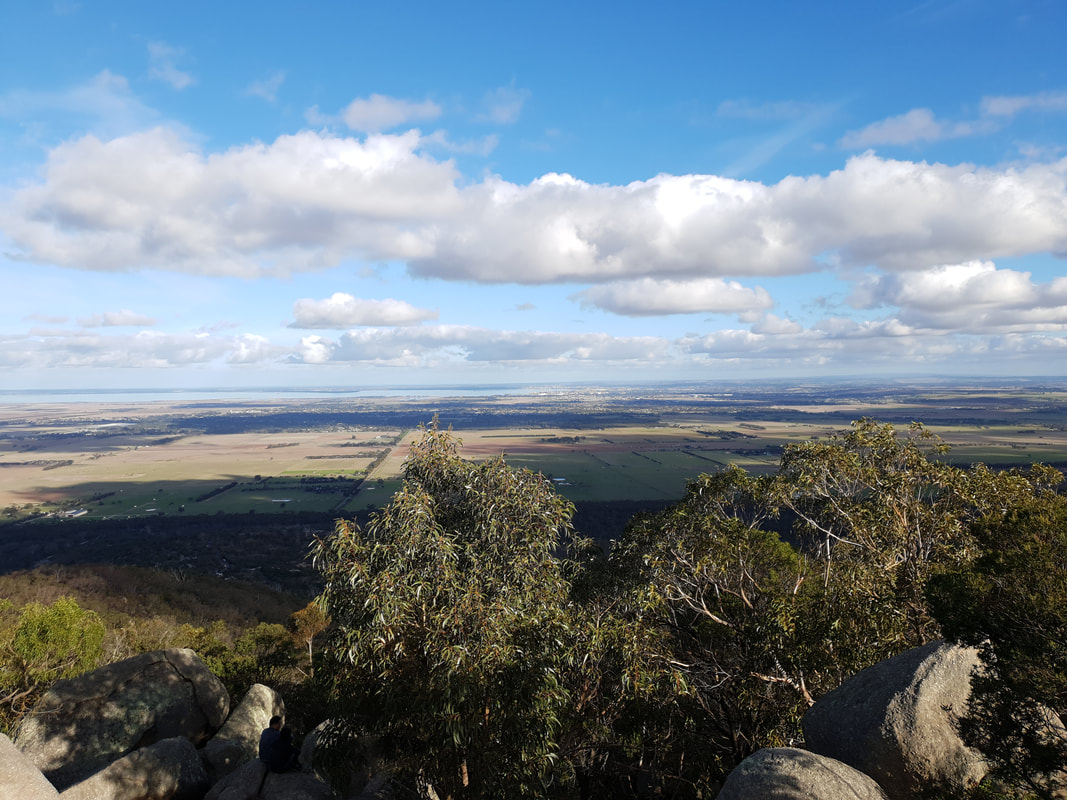
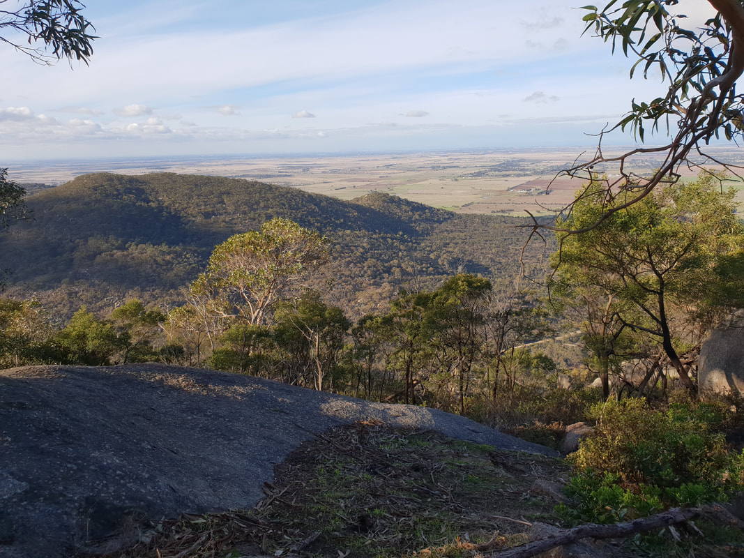
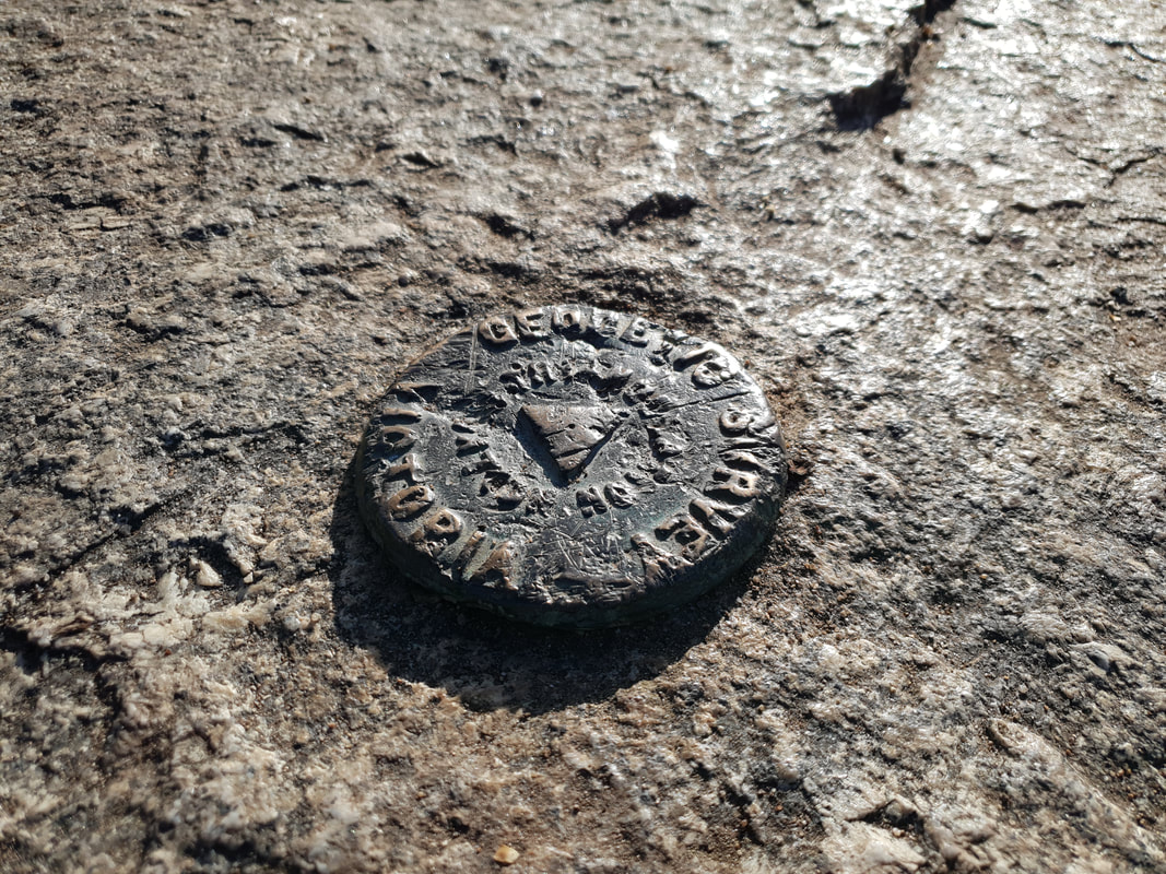
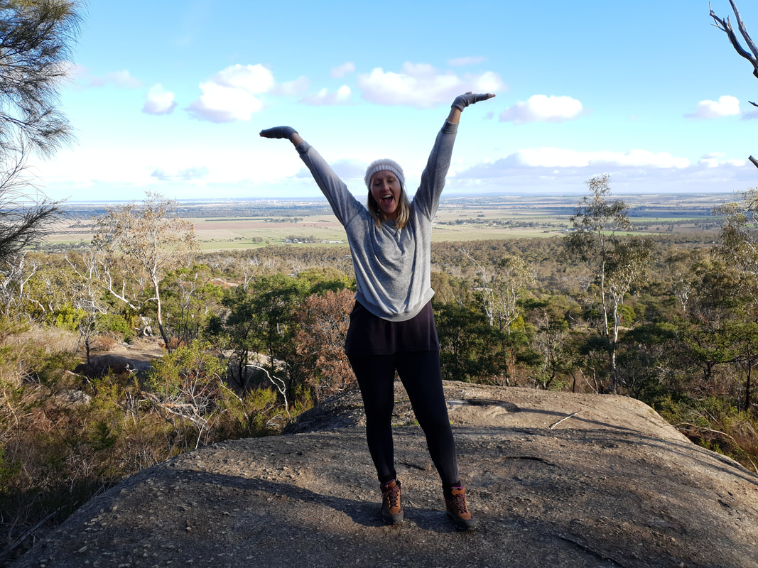
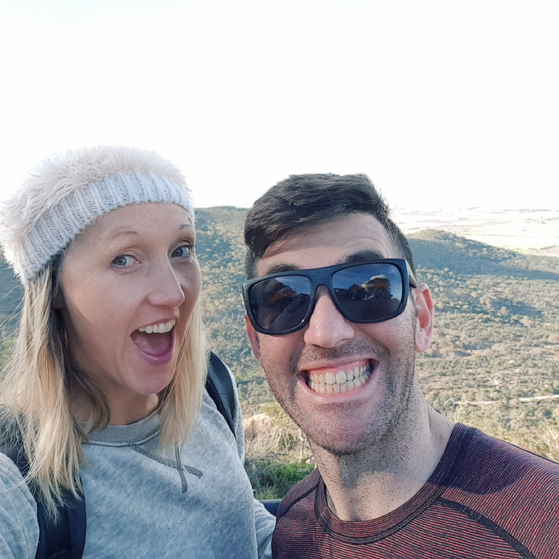
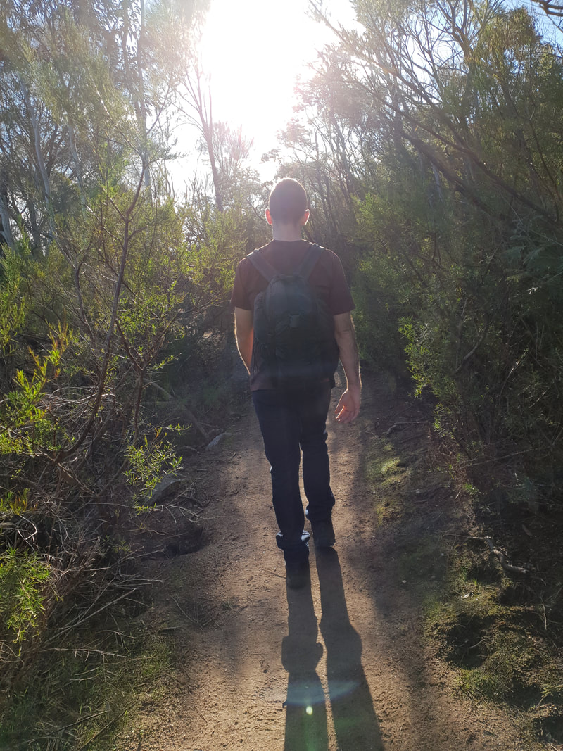
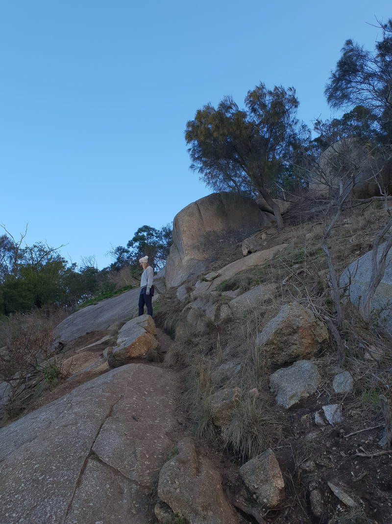
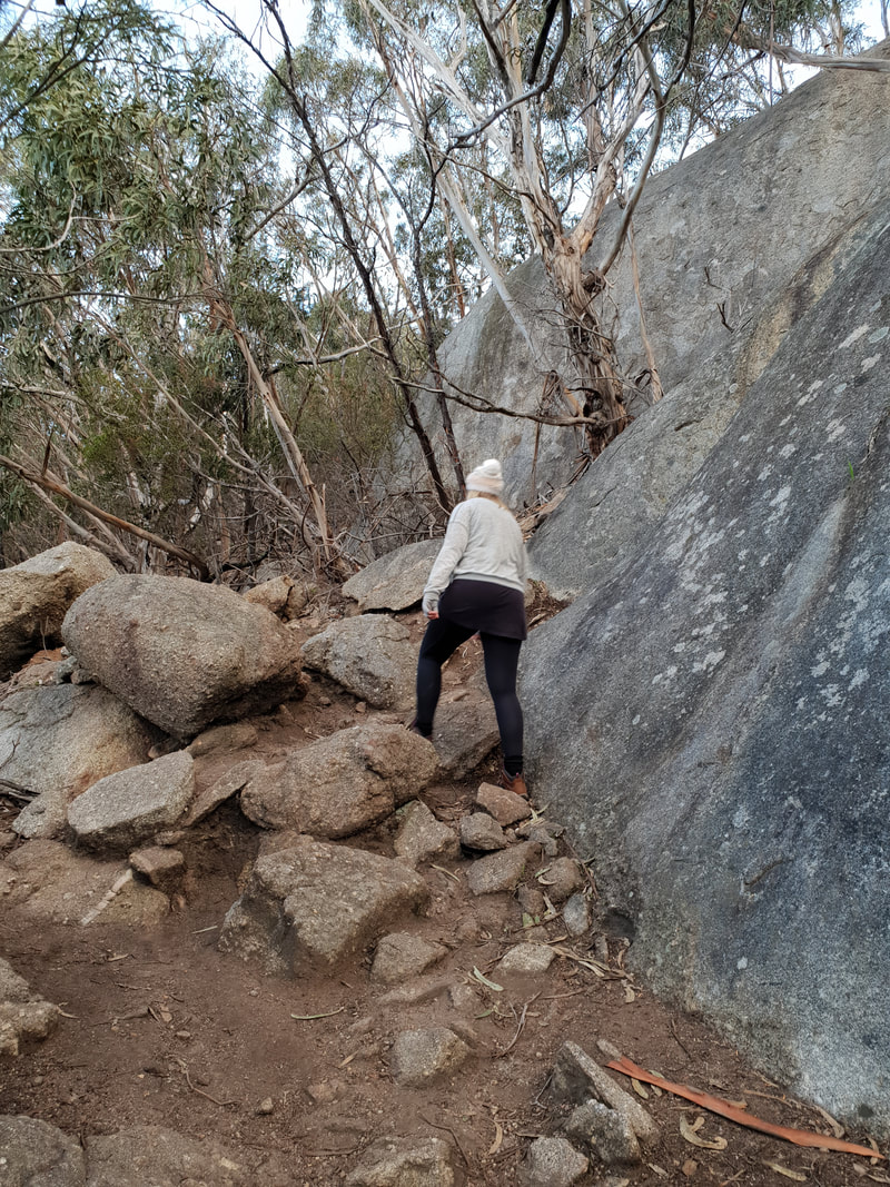
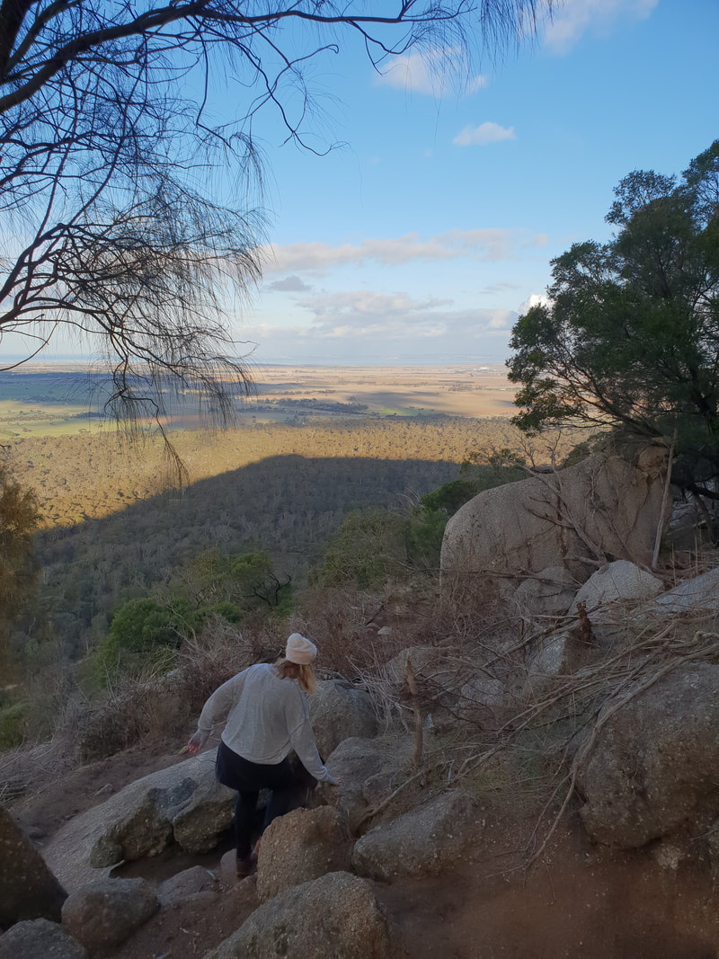
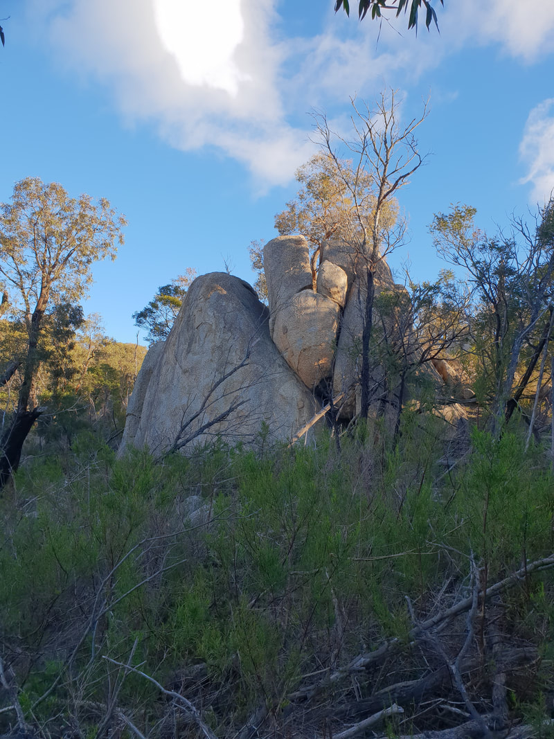
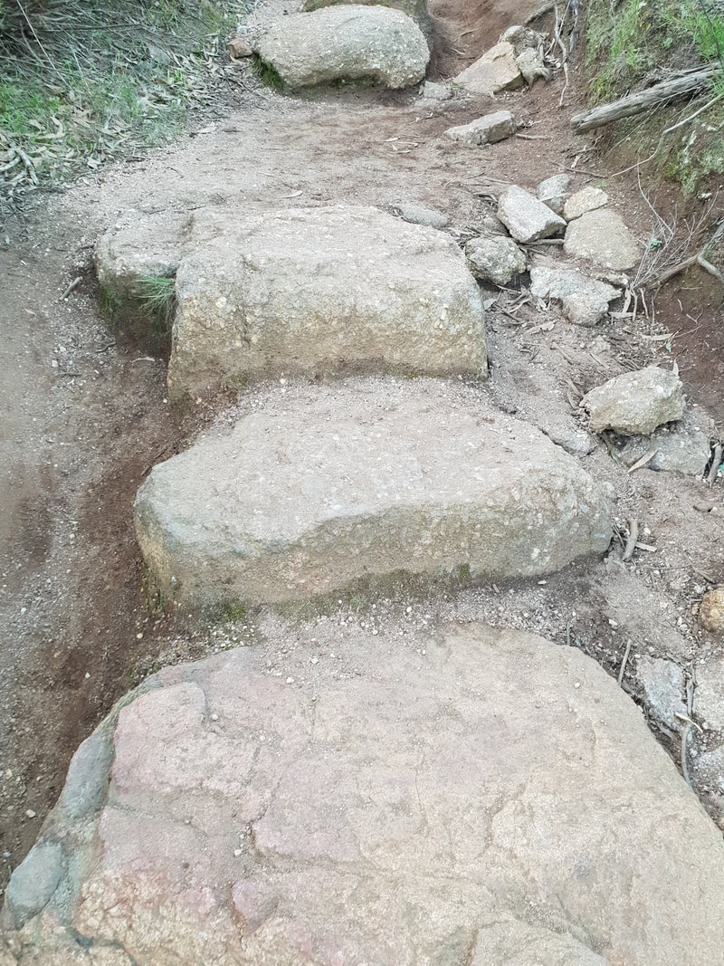
Flinders Peak & East-West Walking Trails, approx. 7.5 kilometres including 450 stairs

Picture
Picture
Picture
Picture
Picture
Picture
Geoglyph of Bunjil an Indigenous Eagle of the Wathaurang people by artist, Andrew Rogers
Picture
Picture
Standing at just over 300 metres the highest peak at the You Yangs, named Flinders Peak after Matthew Flinders, who climbed to the top of the peak in 1802, dominates the flat landscape and is visible from many places in and around Geelong, which is about 30 kilometres away. The You Yangs are home to many mountain bike and x-country events.
Picture
Picture
Picture
Picture
Picture
Picture
Picture
Feral Goat
Picture
Picture
Picture
Picture
Picture
Picture
Picture
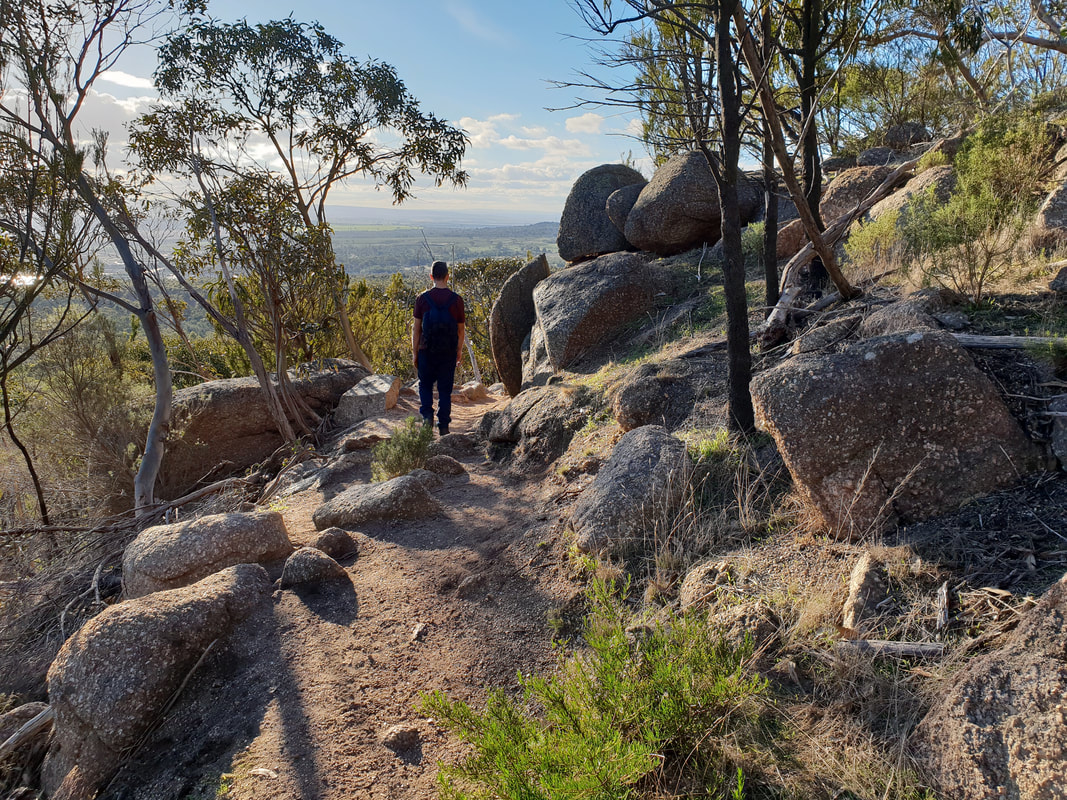
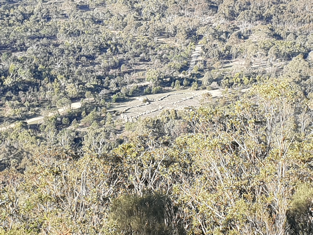
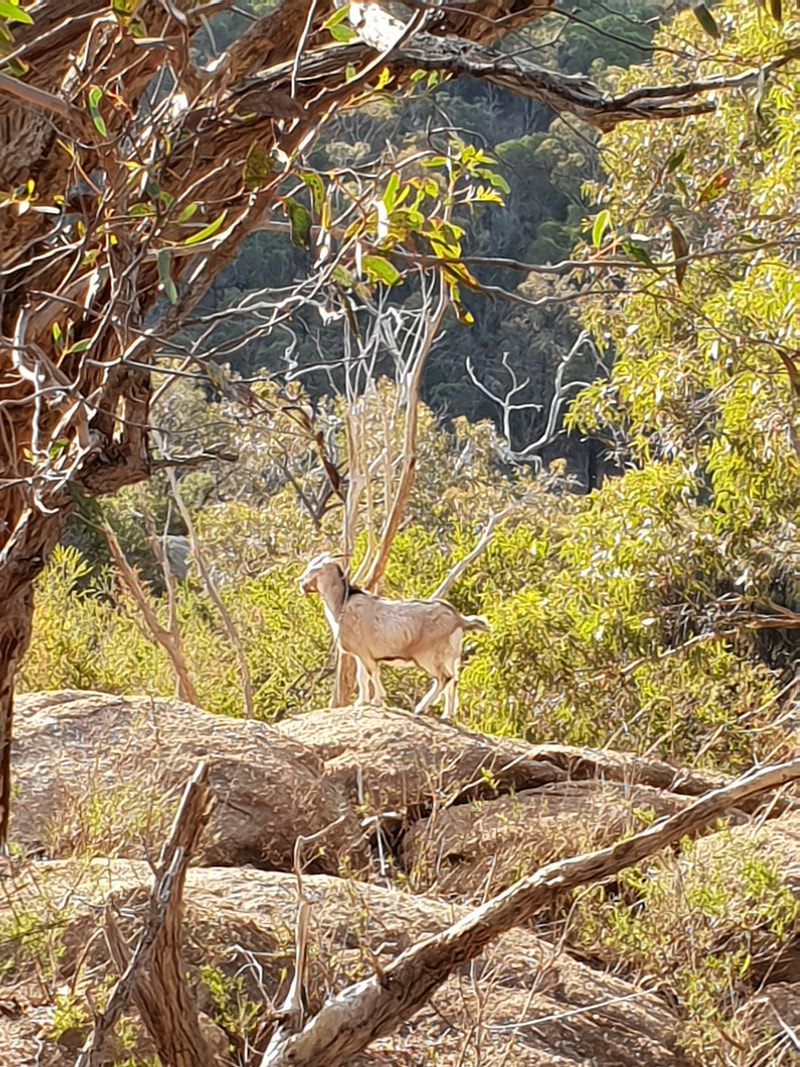
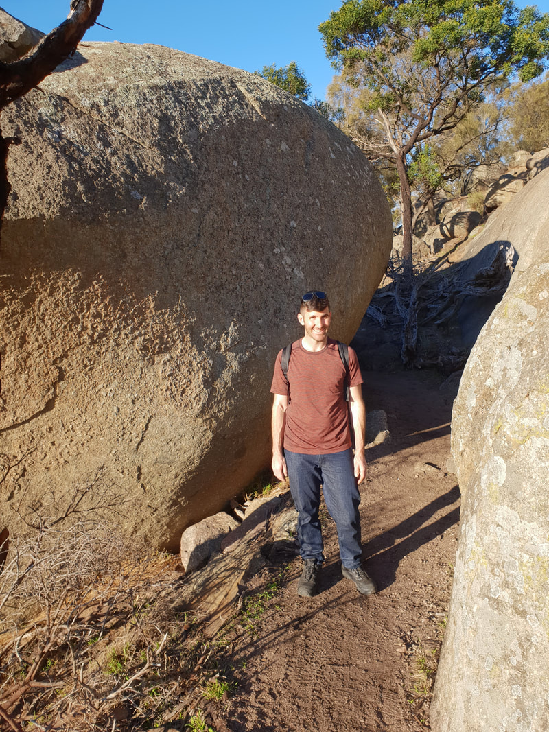
It is believed the You Yangs were formed by a volcano, but despite the granite rocky outcrops being the result of essentially cooled magma, during the volcanic period the You Yangs would have actually been underground, as the surface of the earth was several kilometres higher. We came across a similar explanation of the land's current formation when we visited the Australia Age of Dinosaurs in Winton, Queensland.    

    The Journey

    Choose Curiosity
    Choose Wanderlust
    Choose Experience
    Choose Love

    The Catalogue

    November 2023
    September 2023
    July 2023
    May 2023
    August 2022
    May 2022
    January 2022
    January 2020
    December 2019
    November 2019
    October 2019
    July 2019
    April 2019
    March 2019
    February 2019
    January 2019
    December 2018
    November 2018
    October 2018
    September 2018
    August 2018
    July 2018
    June 2018
    May 2018
    April 2018
    March 2018
    February 2018
    January 2018
    December 2017
    November 2017
    October 2017
    September 2017
    August 2017
    July 2017
    June 2017
    May 2017
    April 2017
    March 2017
    February 2017
    January 2017
    December 2016
    November 2016
    October 2016
    September 2016
    August 2016
    July 2016
    June 2016
    May 2016
    April 2016
    March 2016

    The Tags

    All
    4WD Adventure
    Alpine
    ANZAC Day
    Architecture
    Atherton Tableland
    Australian Capital Territory
    Beach
    Bellarine & Surf Coast
    Biking Adventure
    Boat
    Cairns
    Camping
    Capital City
    Capricorn Highway
    Channel Country
    Coral Coast
    Dinosaurs
    Discovery Coast
    Eatable
    Event
    Explorers Way
    Eyre Peninsula
    Family
    Fraser Coast
    Gallery
    Geelong
    Gold Coast
    Gorge
    Grand Pacific Drive
    Great Barrier Reef Drive
    Great Green Way
    Great Ocean Road
    History
    House
    Indigenous
    Jogging
    Kayak
    Landsborough Highway
    Legendary Pacific Coast
    Limestone Coast
    Military History
    Mini Golf
    Mining History
    Mission Beach
    Mount Isa
    Museum
    Music
    National Park
    Natural Wonder
    New South Wales
    Northern Rivers
    Northern Territory
    Nullarbor
    Otway Ranges
    Outback
    Overlander's Way
    Place Of Interest
    Plane
    Queensland
    River
    Road Trip
    Savannah Way
    Shipwreck Coast
    Silo Art
    Snow
    South Australia
    Southern Tablelands
    Street Art
    Stuart Highway
    Sunrise
    Sunset
    Sunshine Coast
    Train
    Victoria
    Victorian High Country
    Walking Adventures
    Water Attraction
    Weather Event
    Western Australia
    Wild Life
    Wildlife

    RSS Feed

Home

About

Van

Adventure

Base

Contact

Copyright © 2025
Picture