|
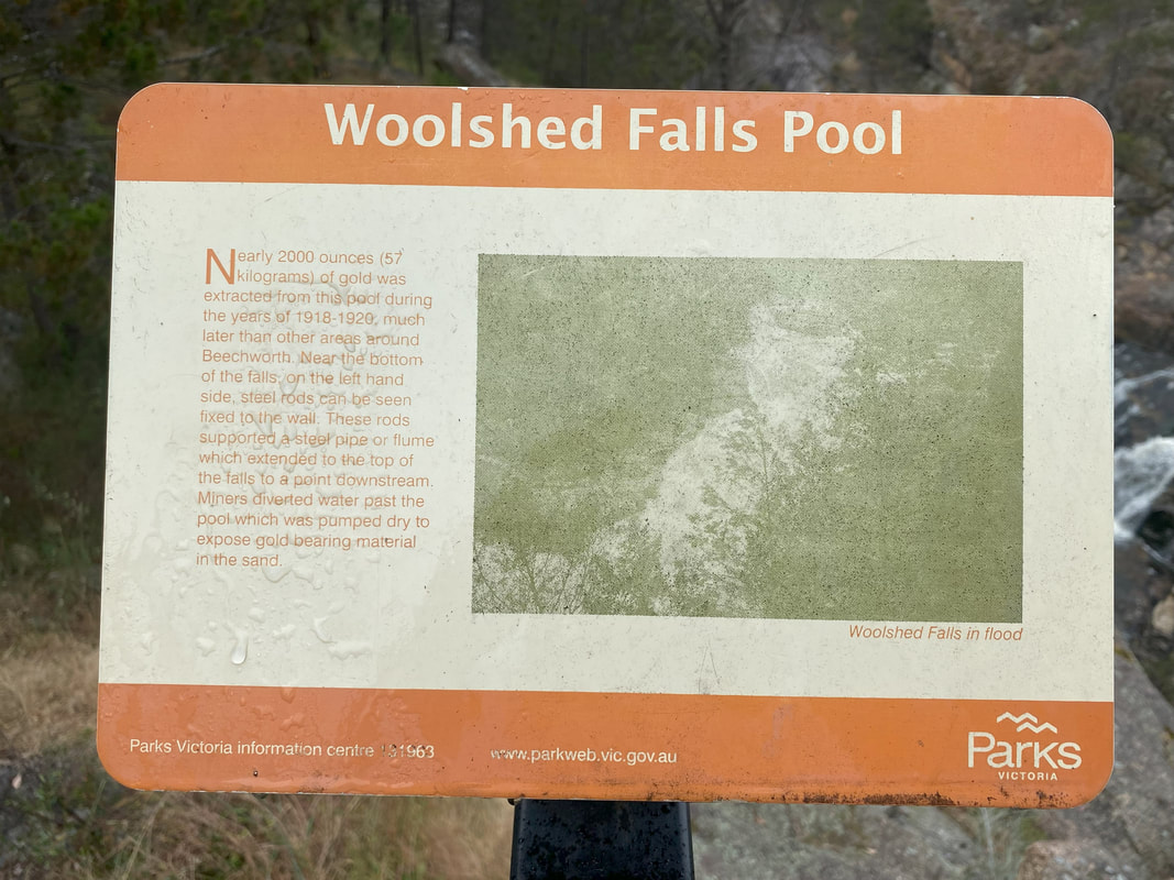
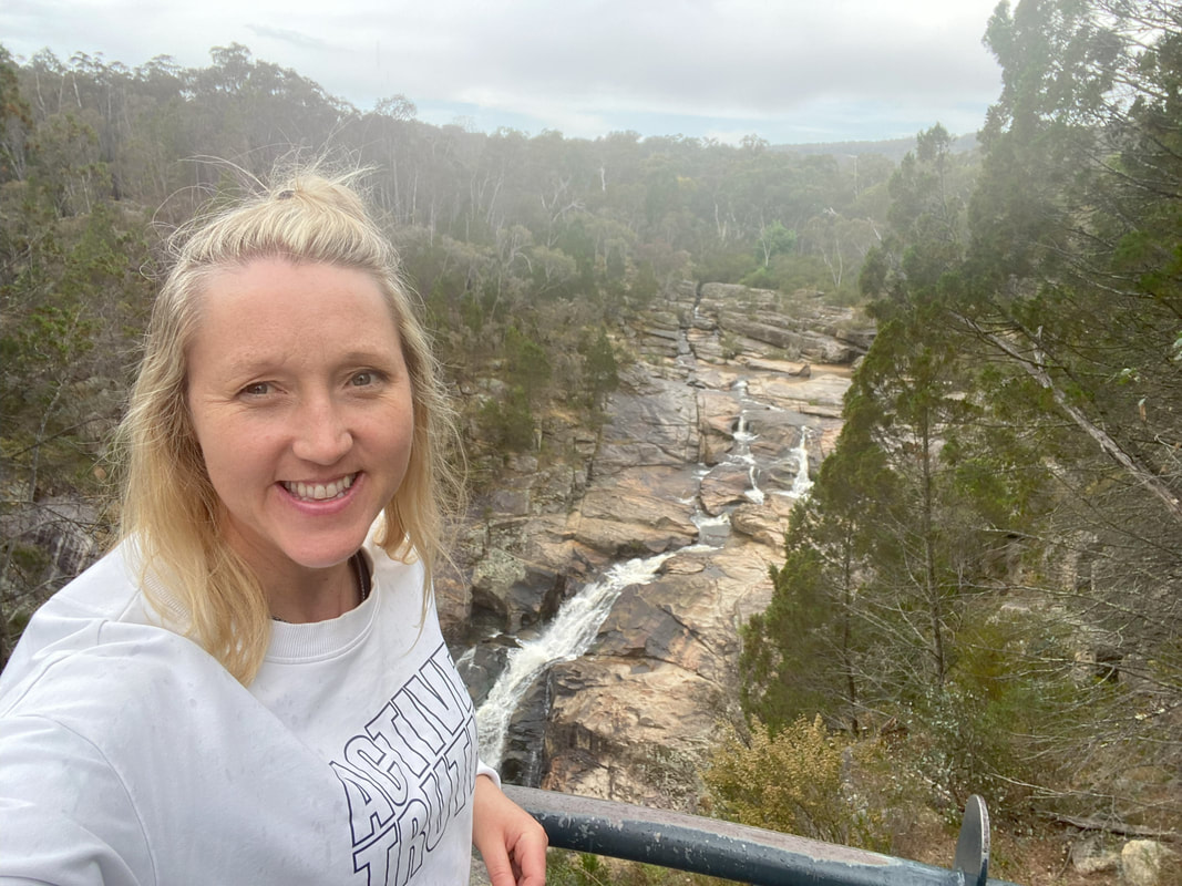
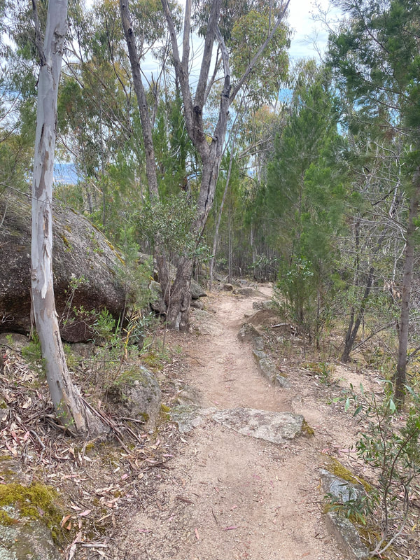
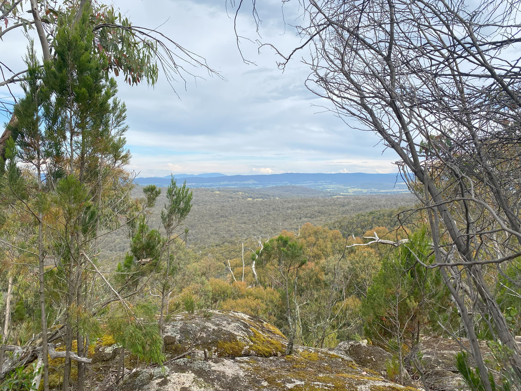
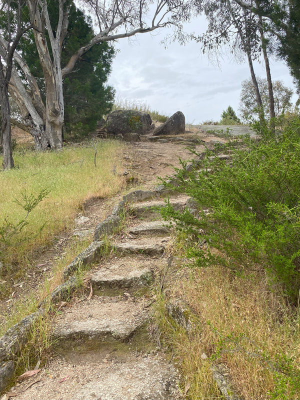
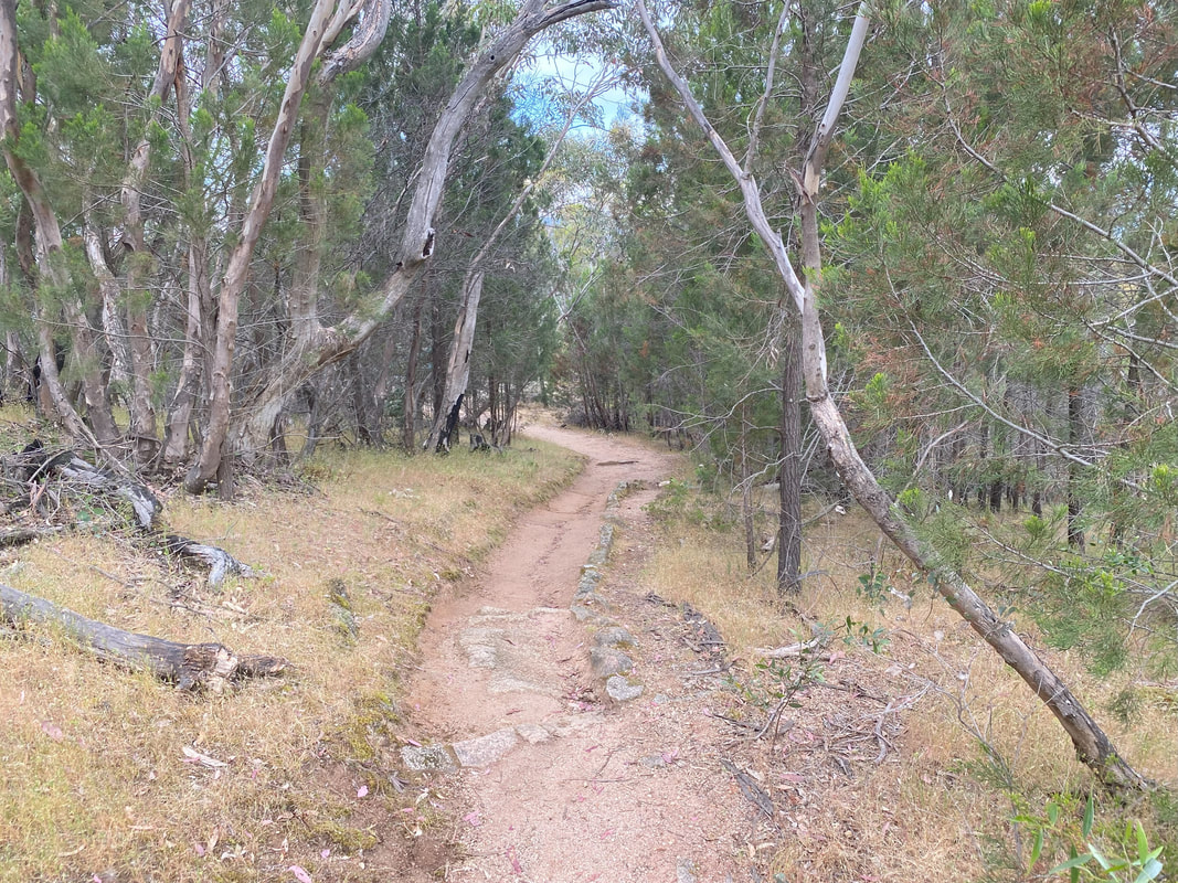
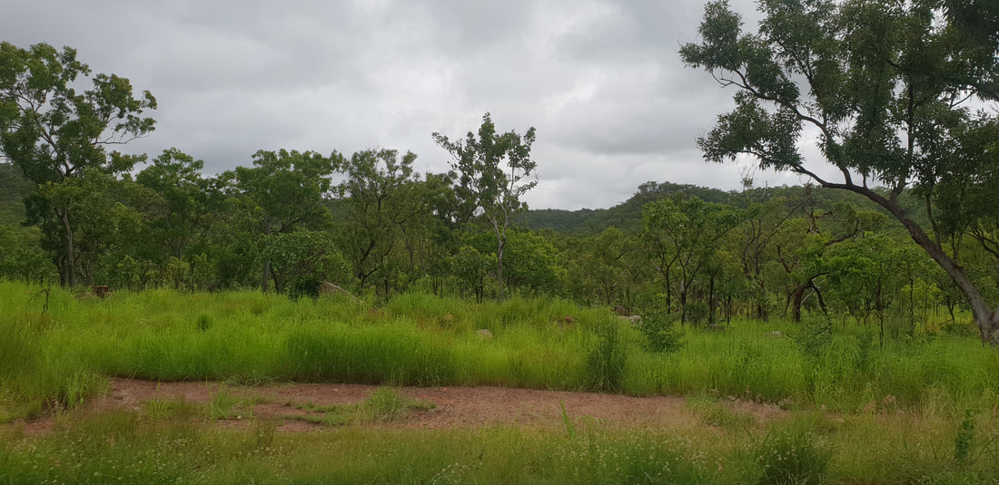
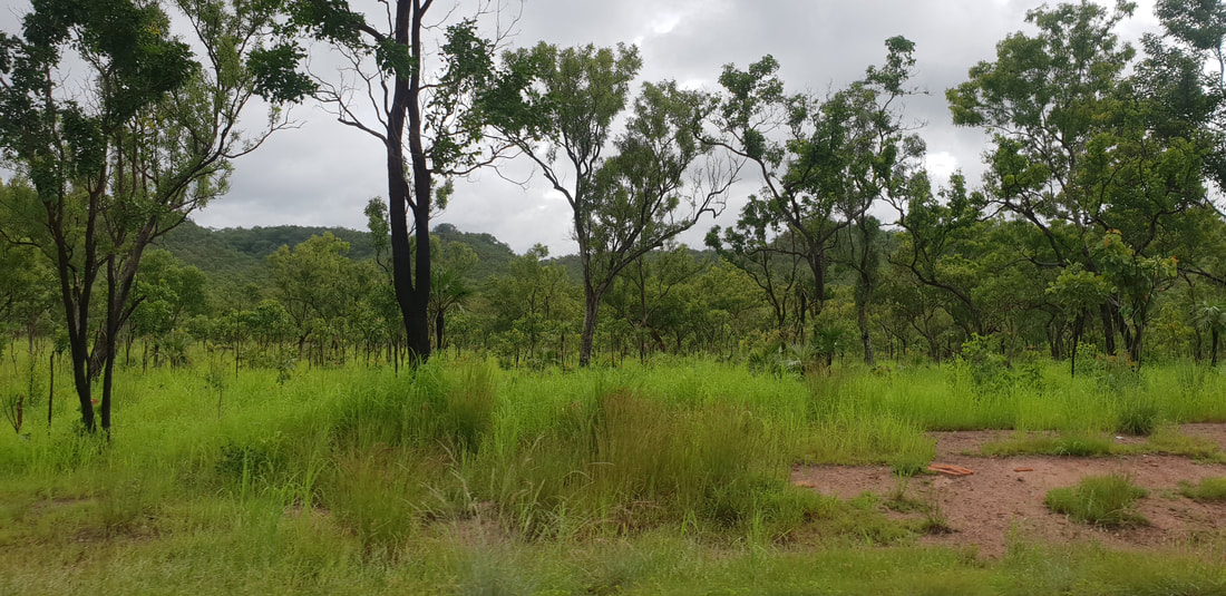
For these two mini adventures we had to do them solo as Benny wasn’t permitted, particularly within the Mount Pilot National Park near Chiltern. Woolshed Falls near BeechworthWe may not have been able to see a waterfall along our Rawes Track walk, but we did have the opportunity to drive up to Woolshed Falls lookout. We tag-teamed in and out of the car as we ran across the carpark in slight drizzly rain to see this natural beauty. 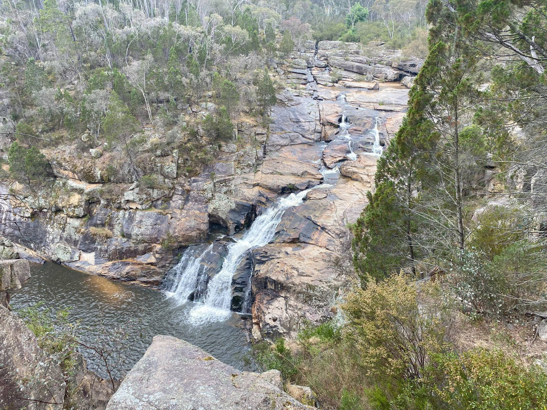
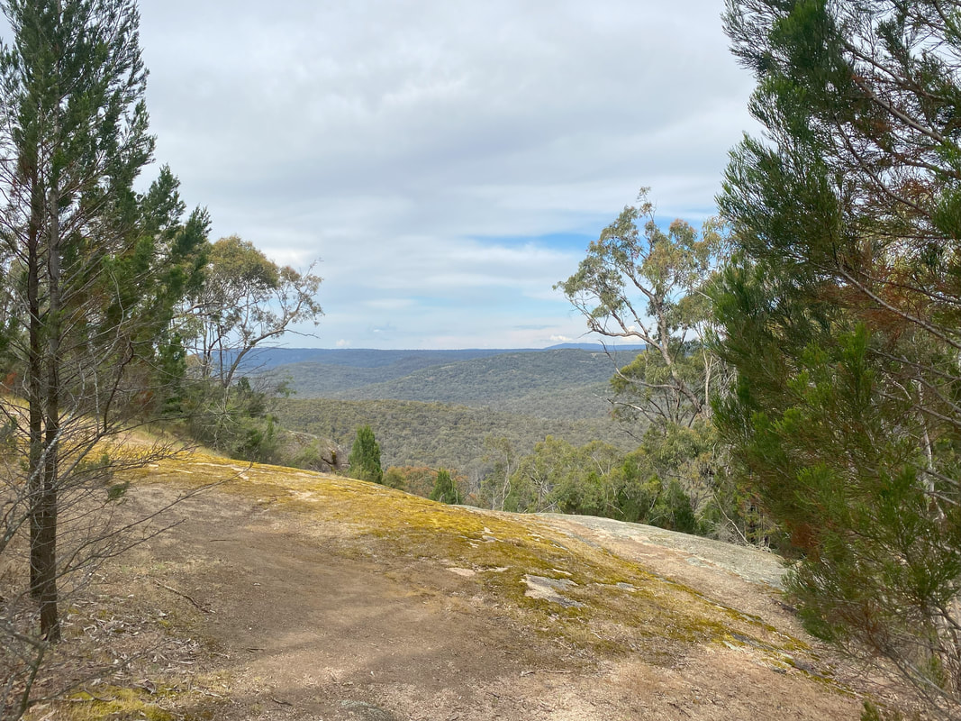
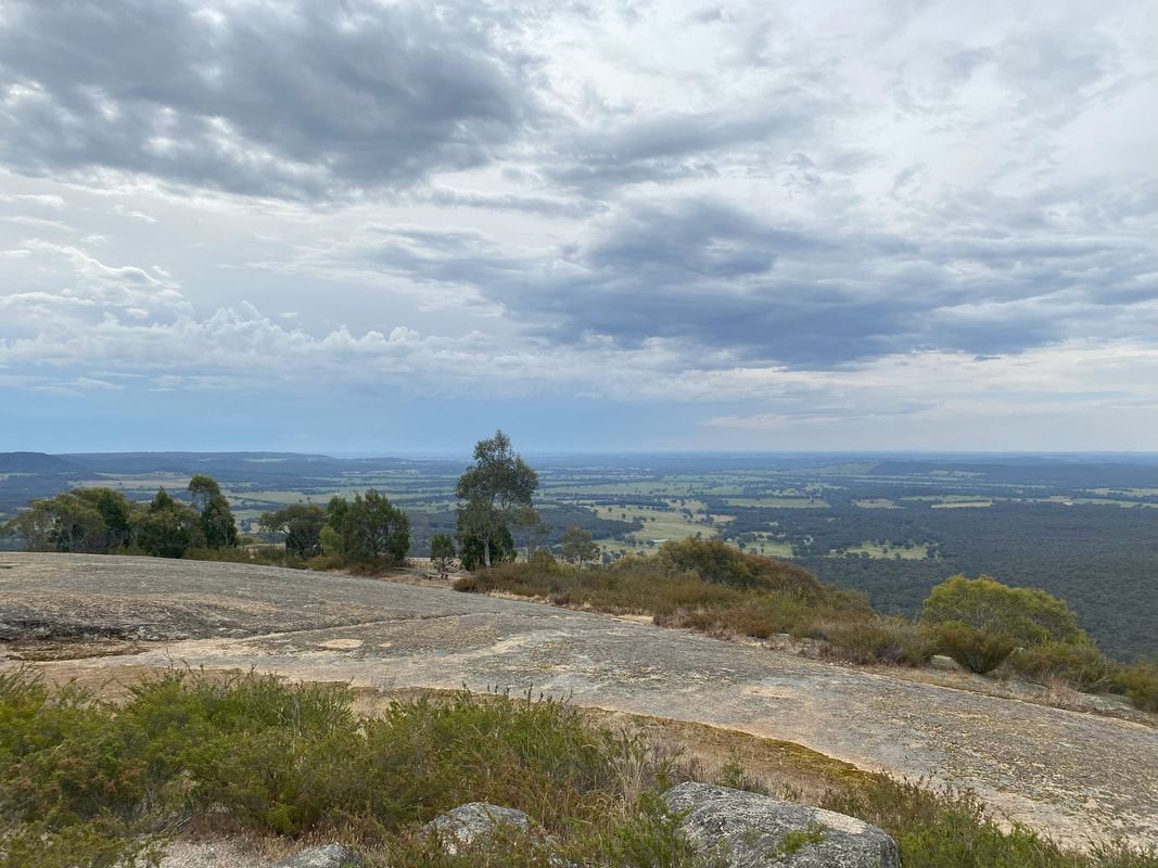
Mount Pilot Lookout near Chiltern
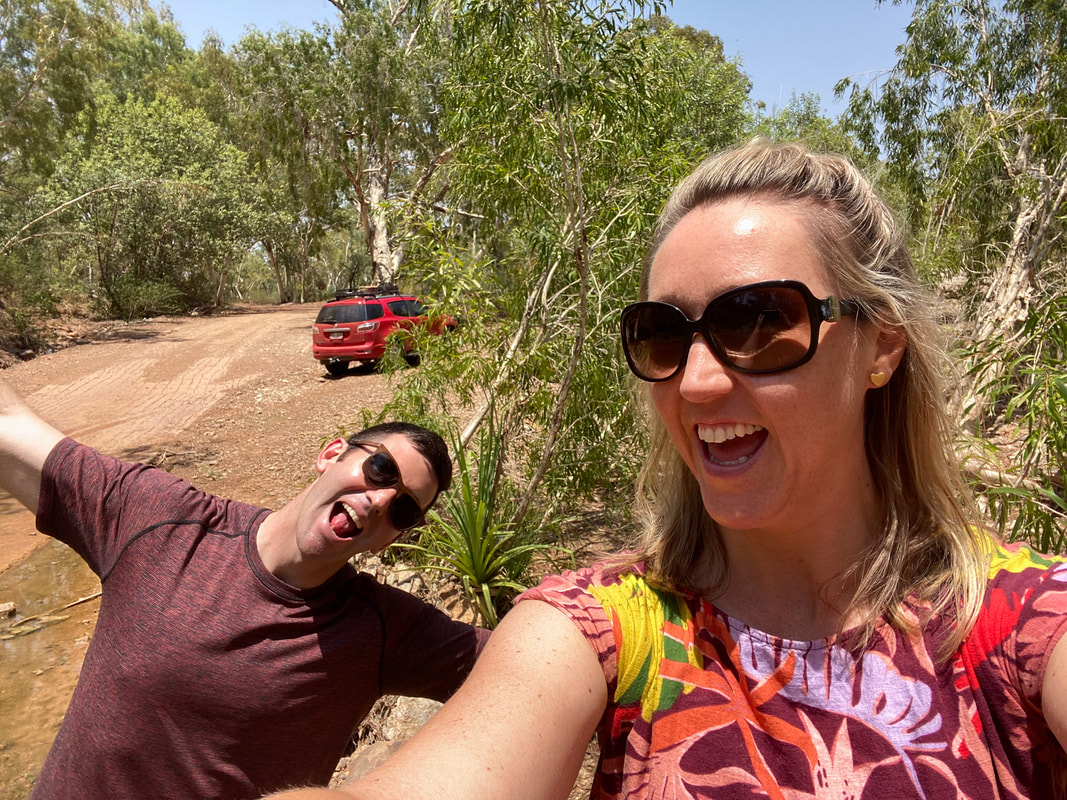 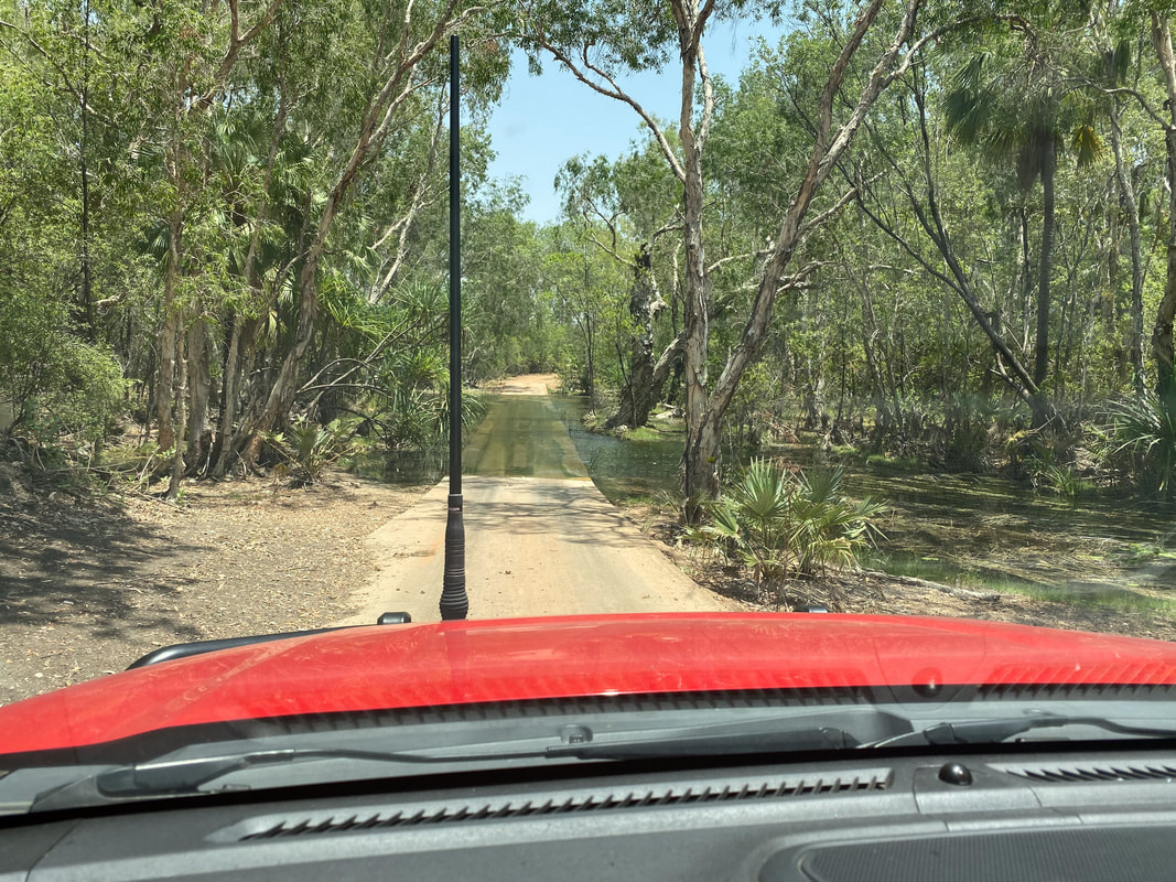   The detour through Gregory Downs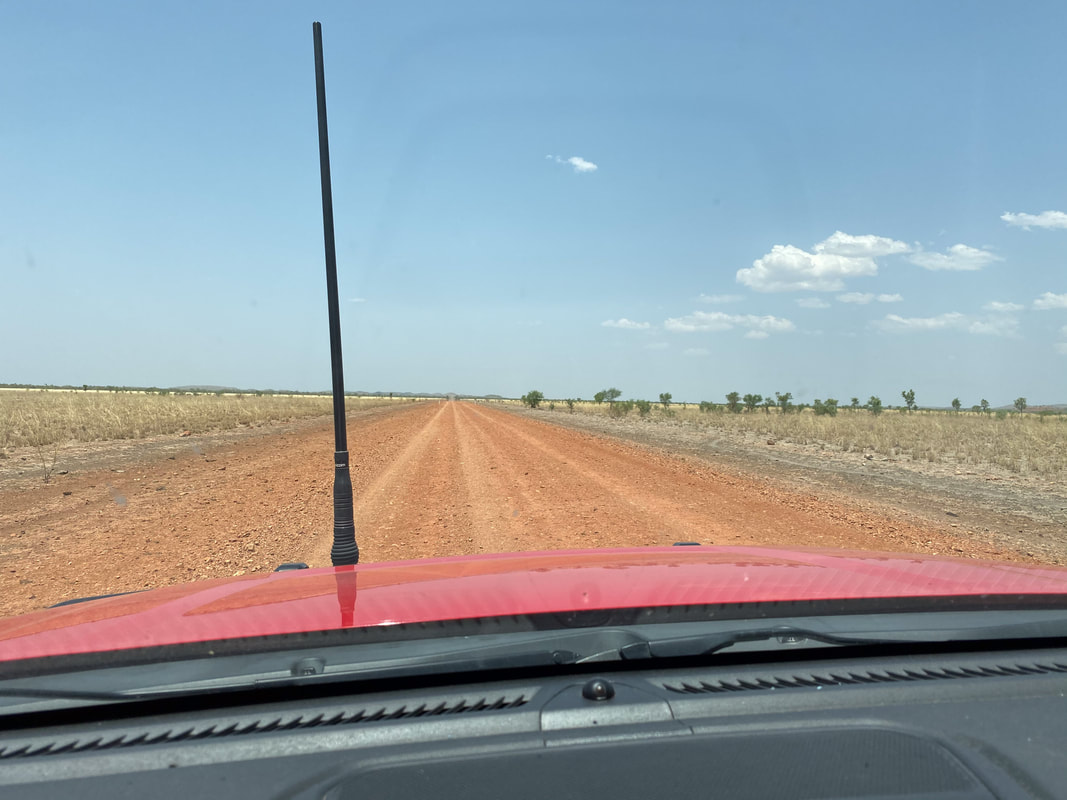
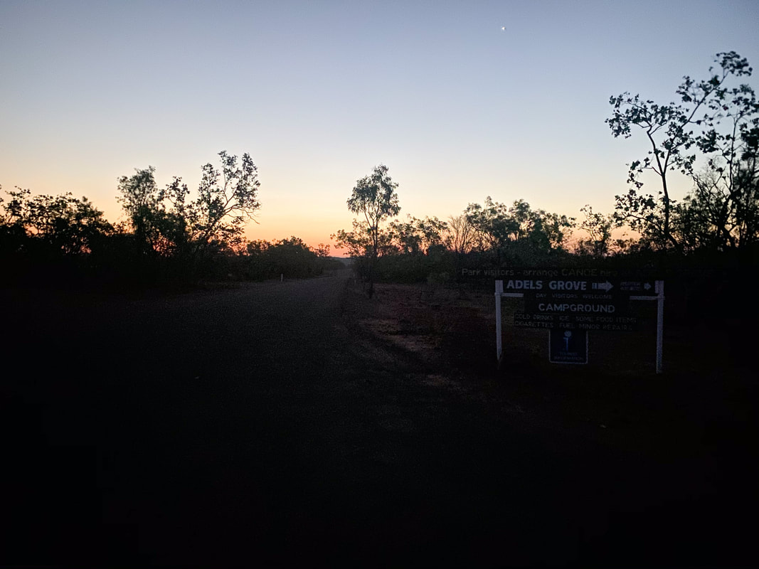
 Adele's GroveFire
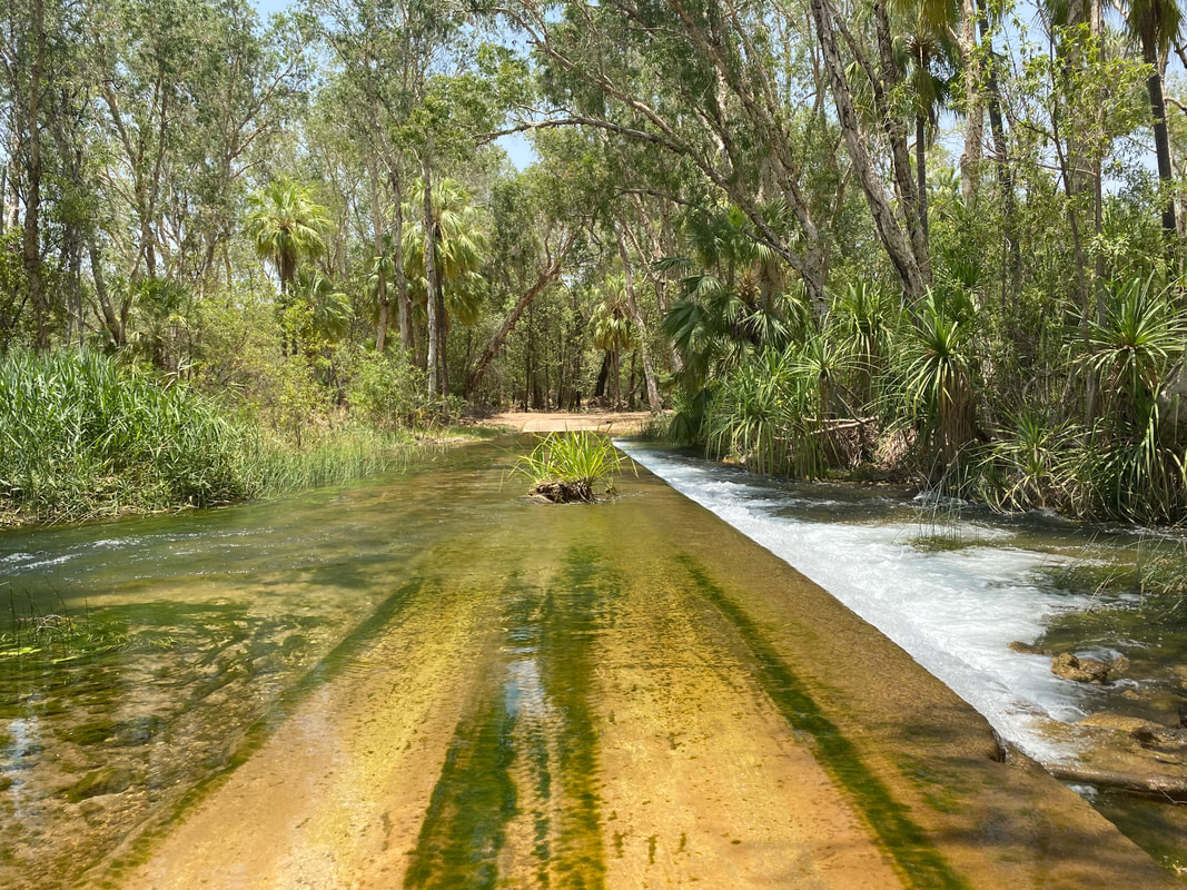
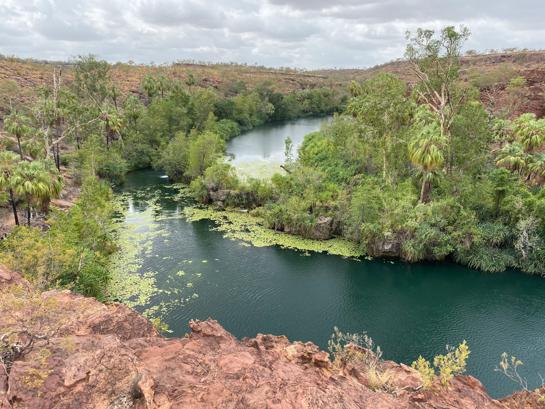
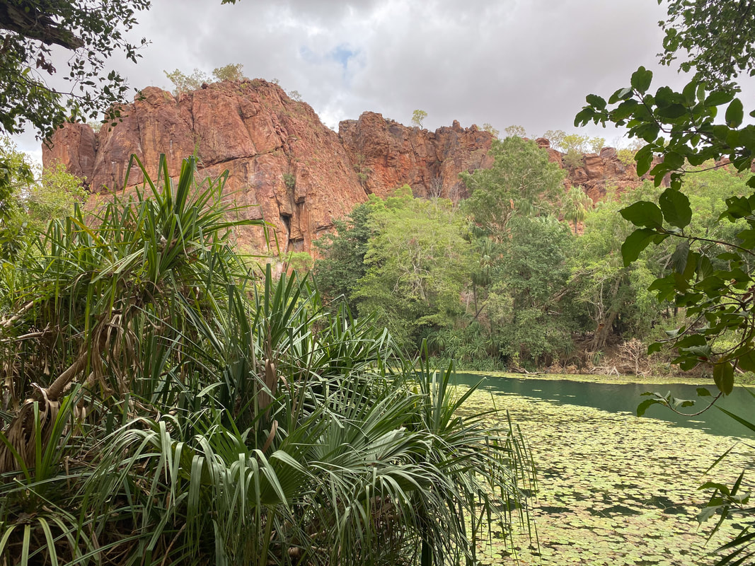
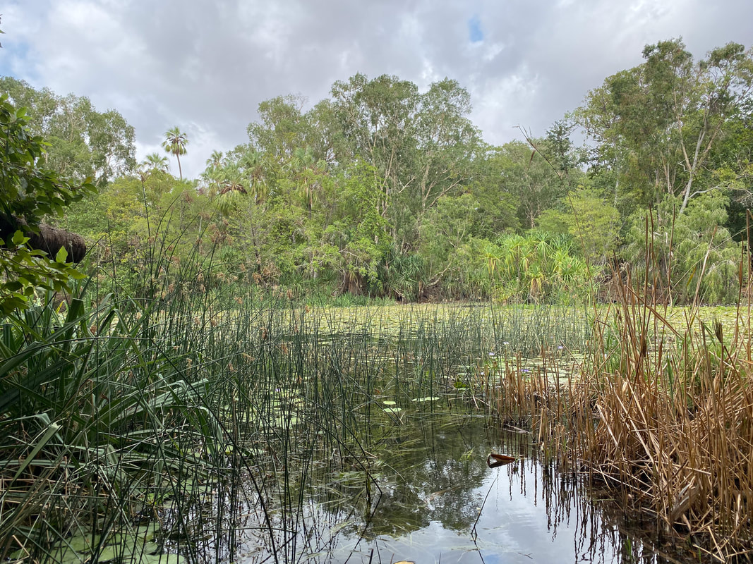
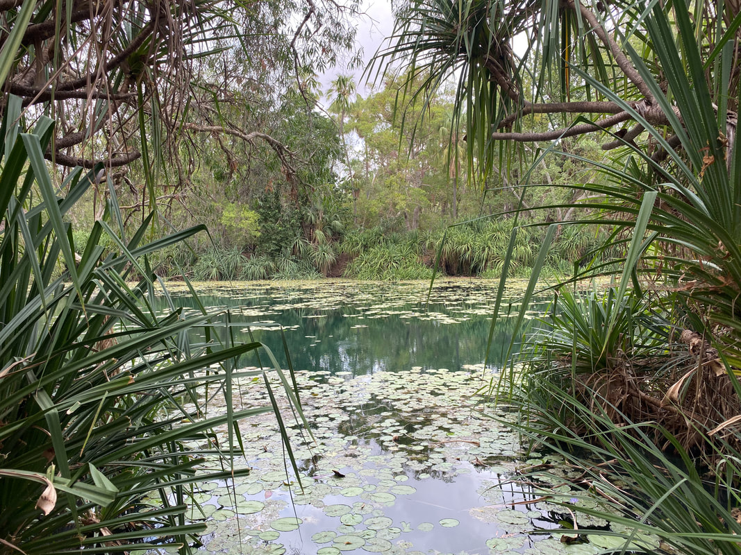
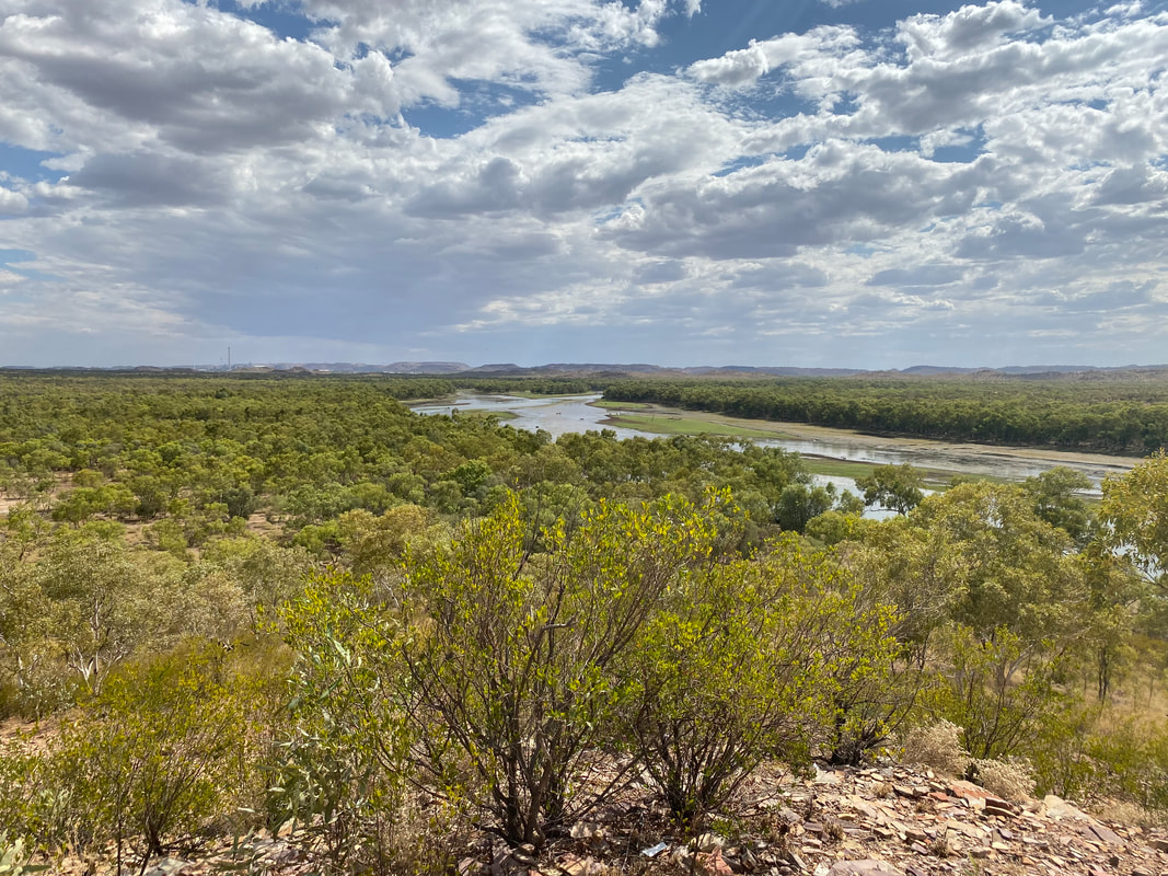
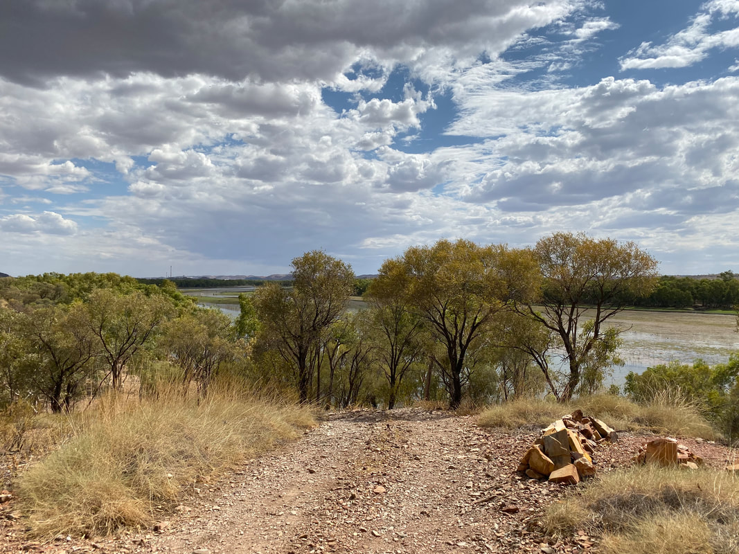
Boodjamulla National Park
  The Return Journey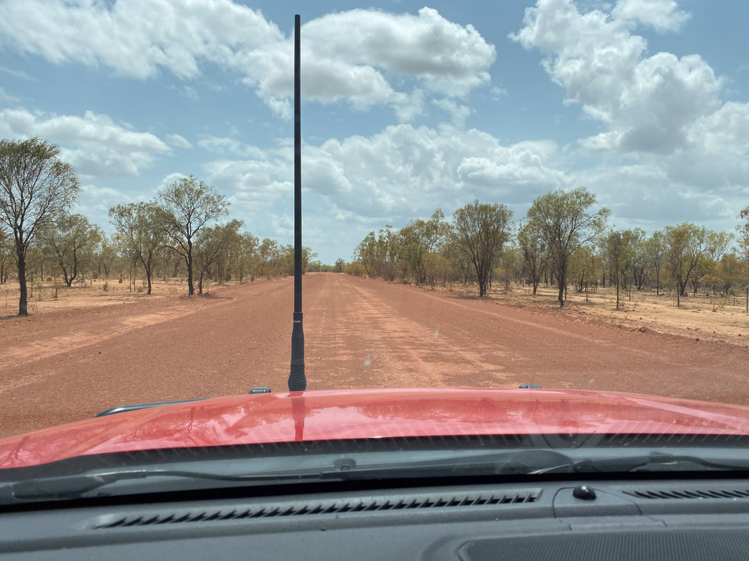
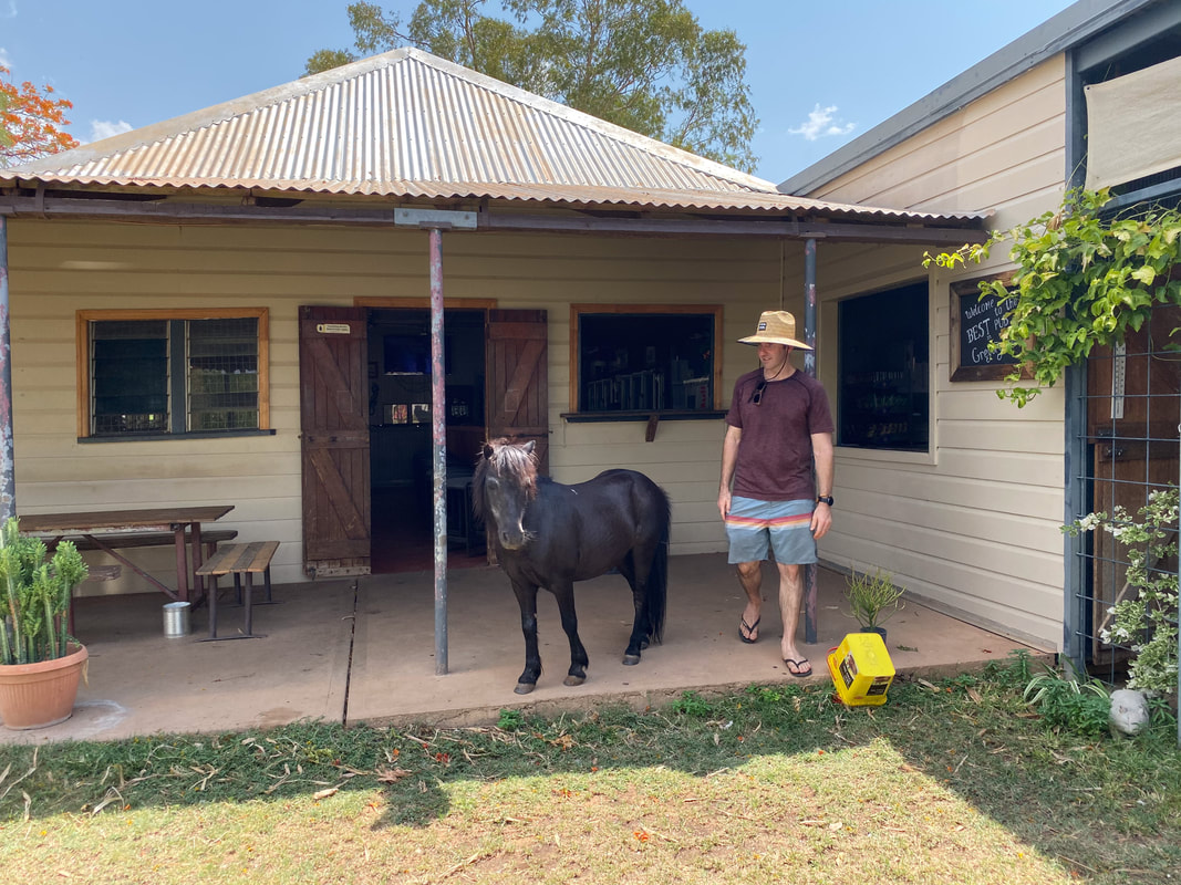
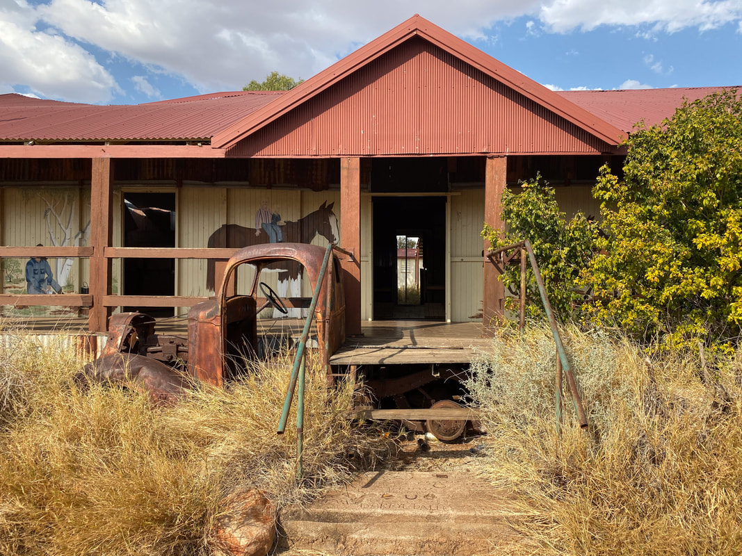
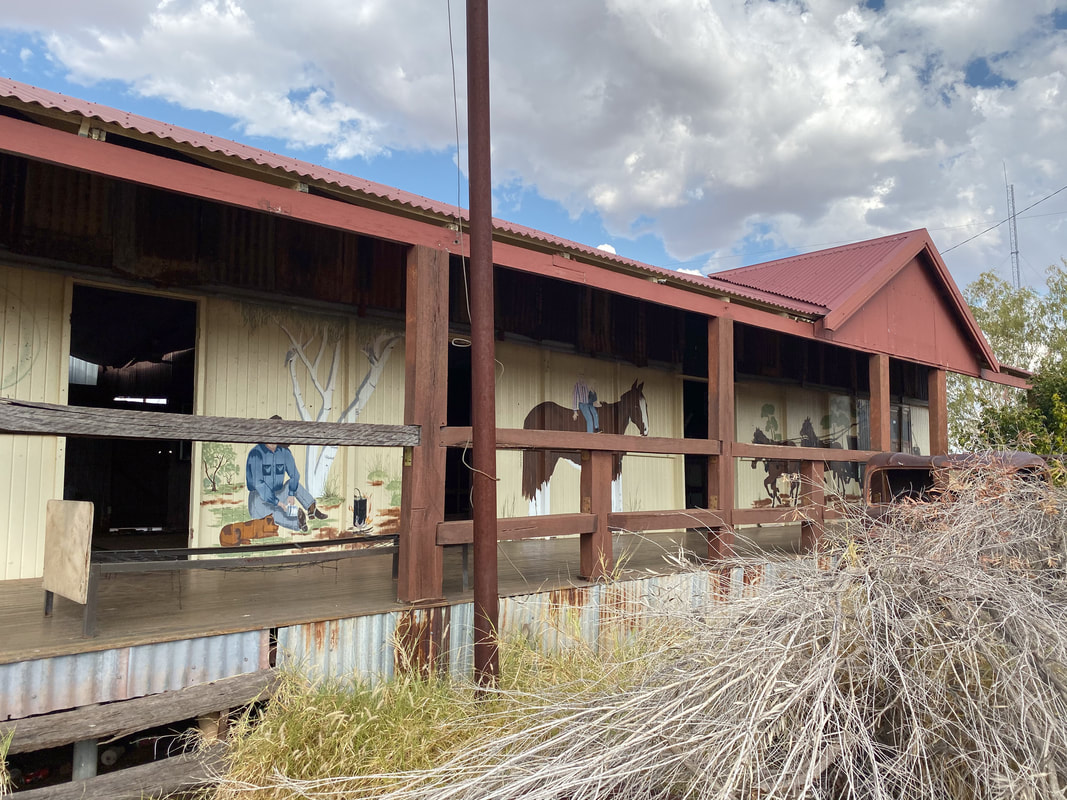
Quamby PubClosed in 2013 and restored in 2023 by two Gold Coast based mates. 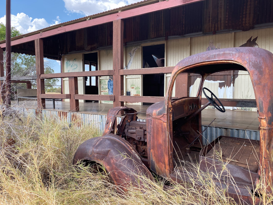
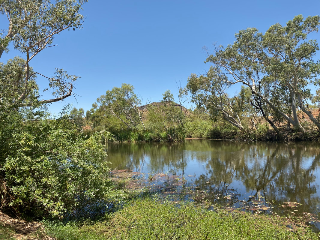
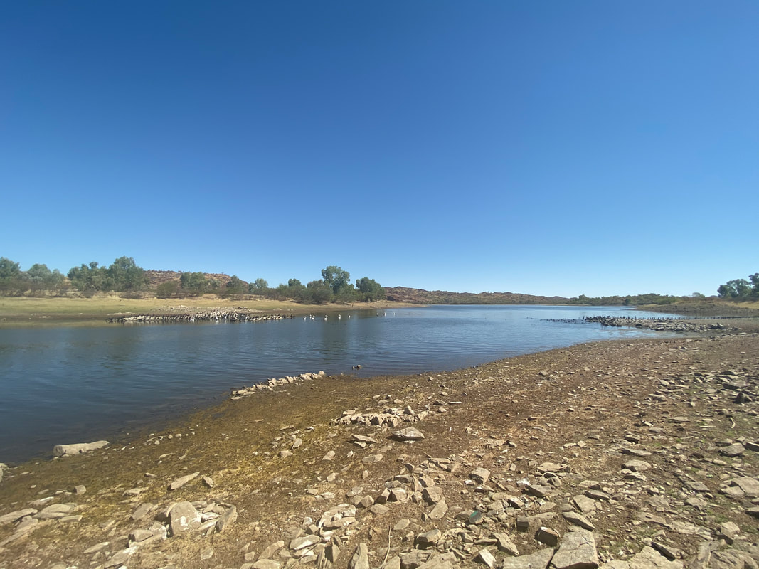
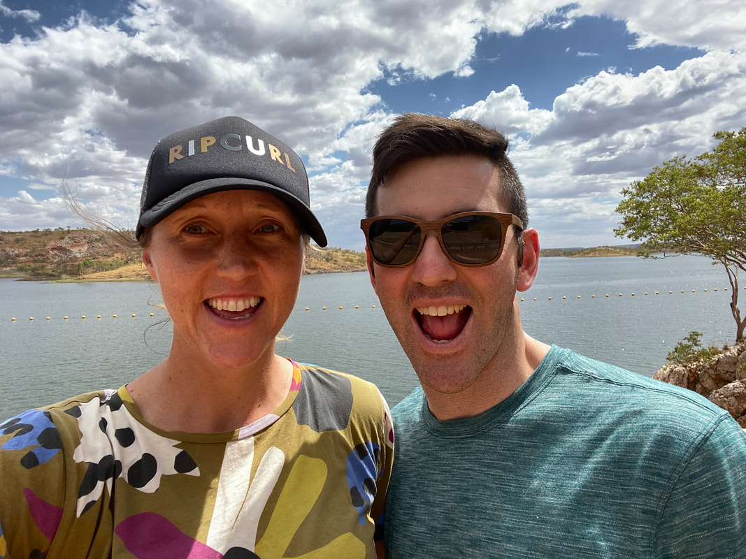
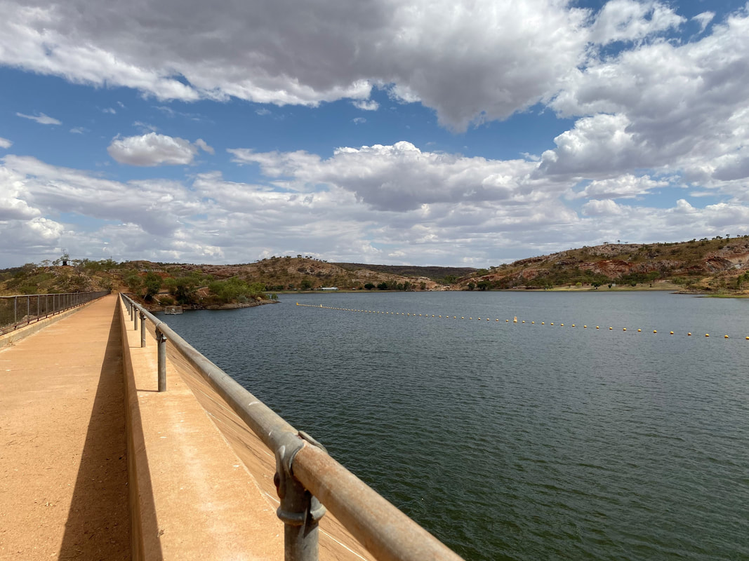
This purpose built lake is located about 70kms east of Mount Isa along the Flinders Highway and is a popular grey-nomad camping spot. We ate lunch in sitting in the back of Cherry with the rear door open and enjoyed being close to the water. Check out our previous visit and learn more about the lake by clicking on the button below. 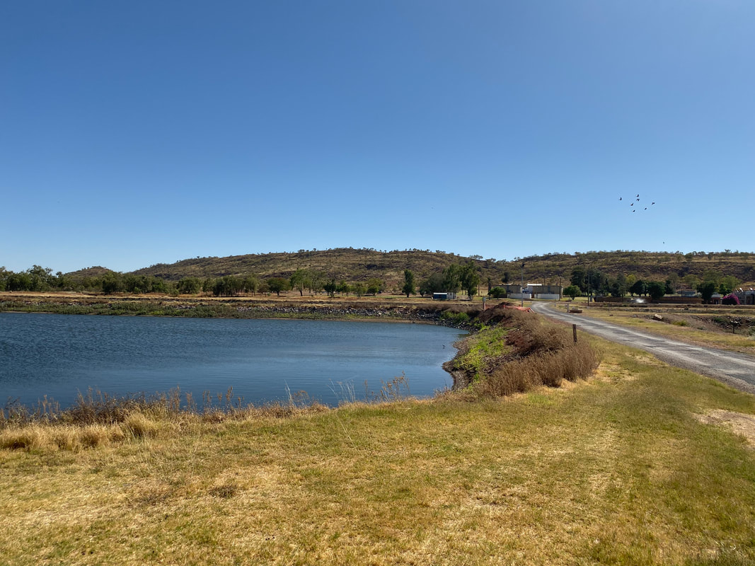 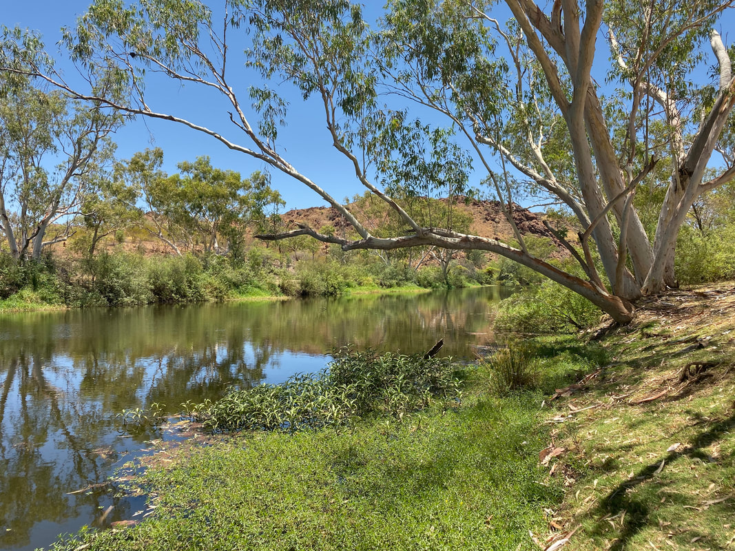
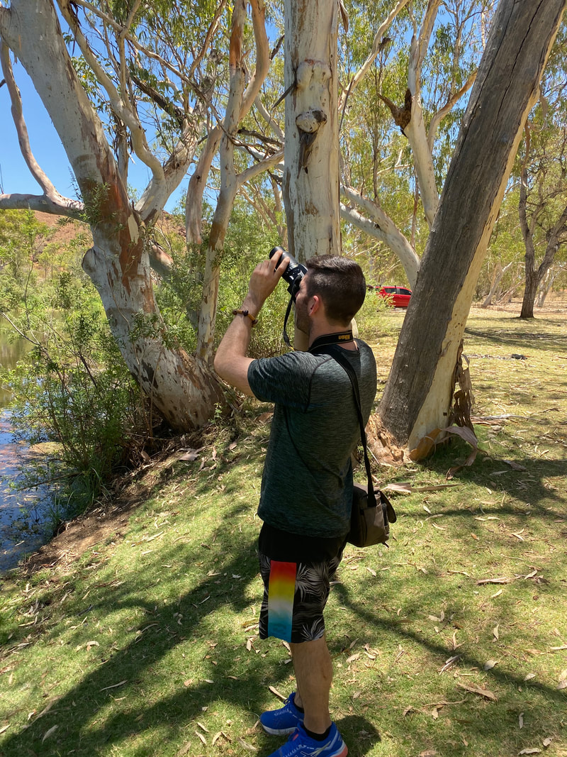
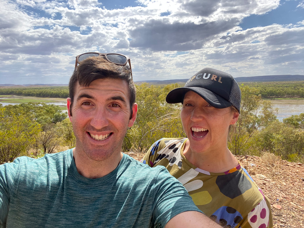
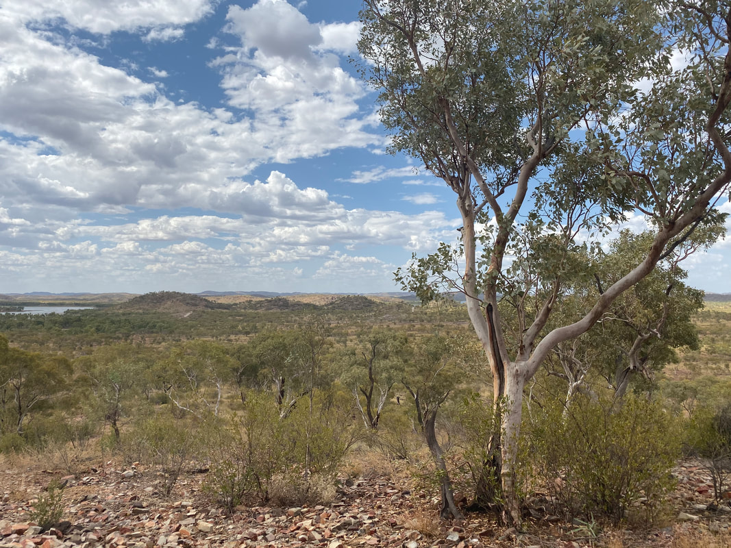
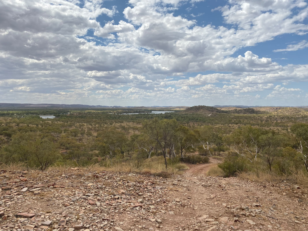
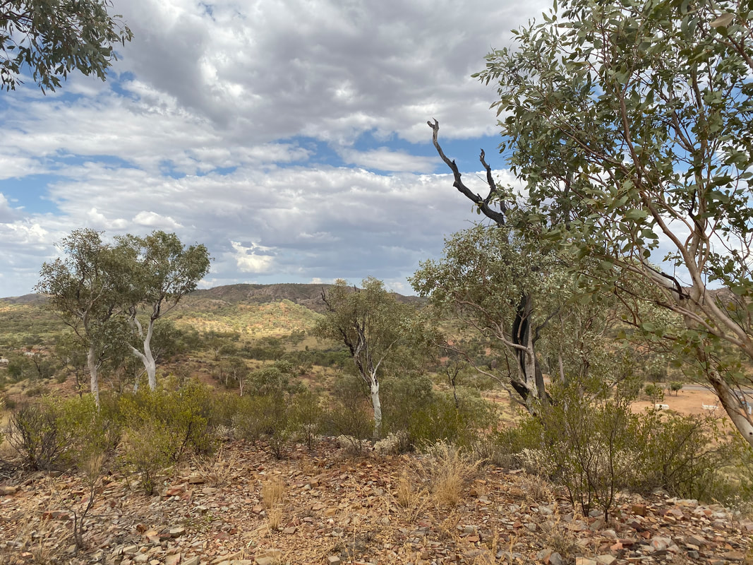
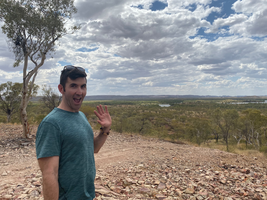
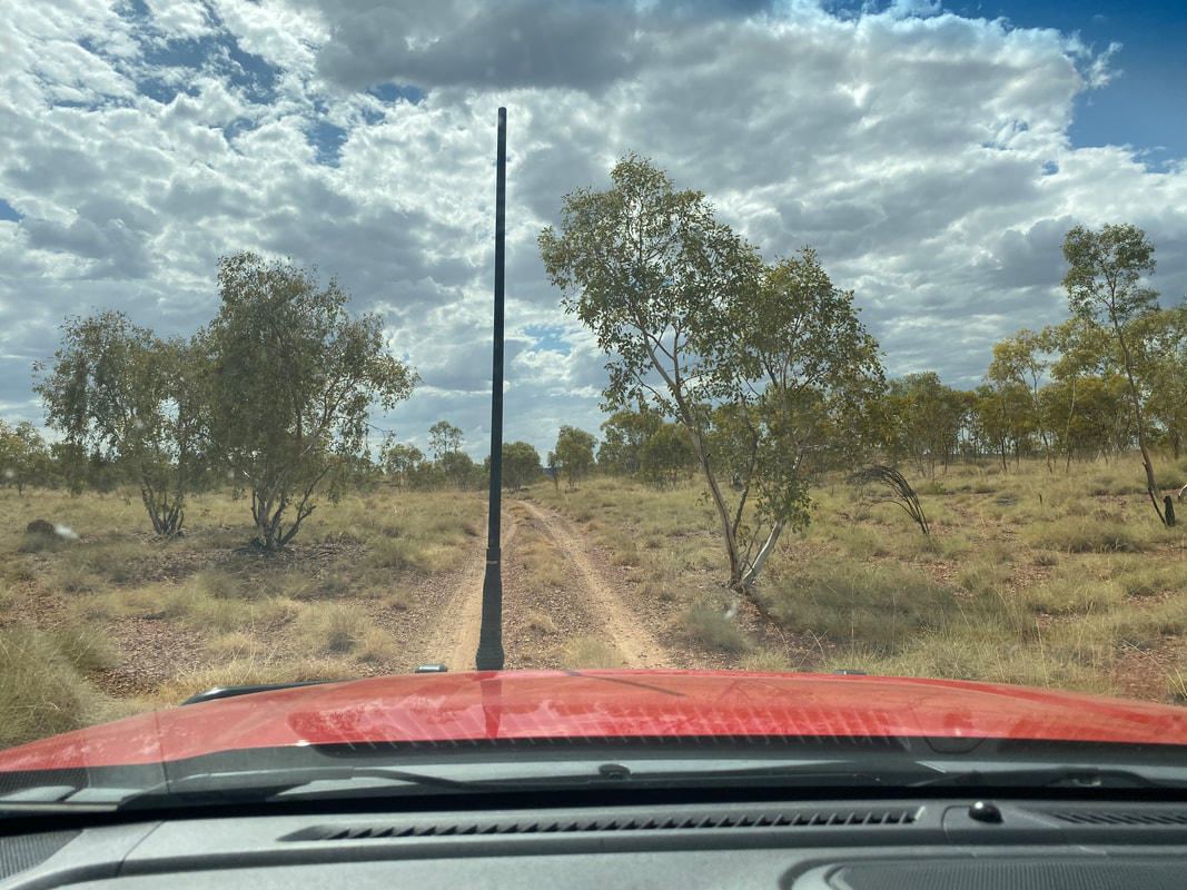
 We had a awesome day exploring the area around Lake Moondarra and taking Cherry up and down the dirt tracks. Check out pictures from our previous visit by clicking on the button below. 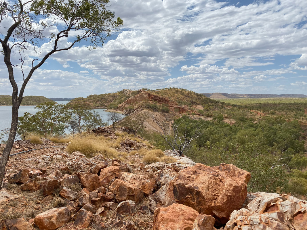
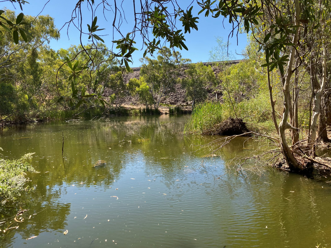
 In the outback there is nothing better than seeing natural running water… it’s rejuvenating, cleansing and cooling and we love it! We last visited East Leichhardt Dam practically two years to the day of this visit… what a vibe!     You are so good lookin'   To reach Rosebud Dam, take the turn off to Fountain Springs at the Fountain Springs road-side rest stop halfway between Cloncurry and Mount Isa. Rosebud Dam is past the abandoned township of Bulonga and the remains of the Rosebud Smelter along the usually dry Corella River. When we last visited Rosebud Dam, we used the 2015 Cloncurry Trails Off-Road Touring Guide but since returning to the Isa have upgraded to the 2019 version. Highly recommended!  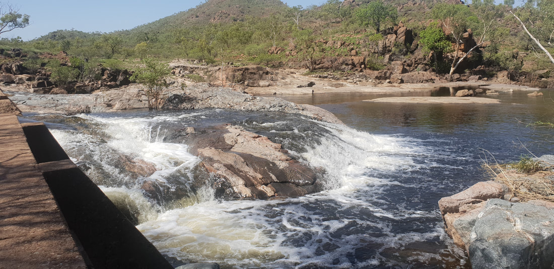 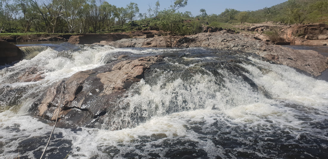 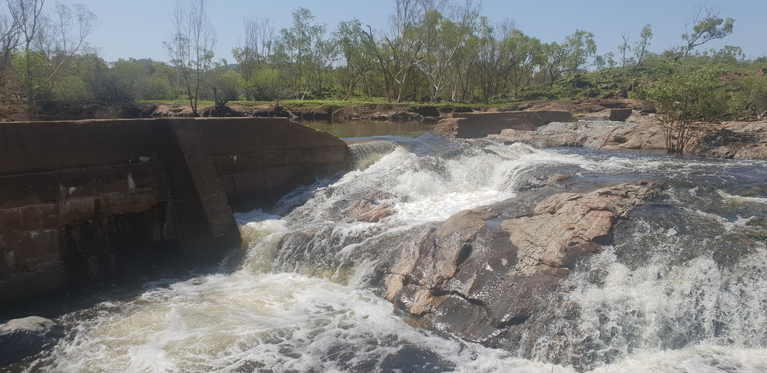 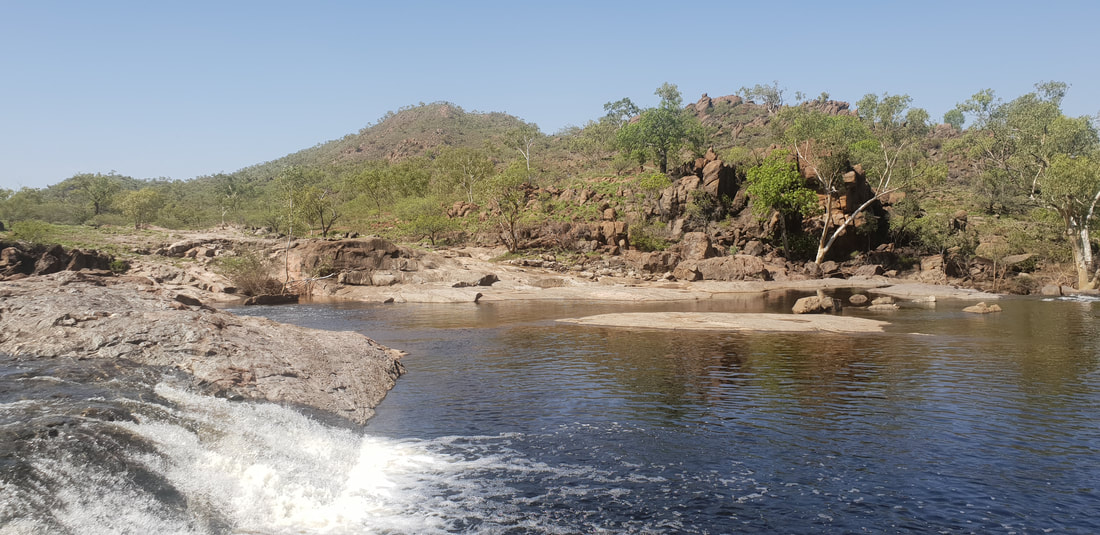 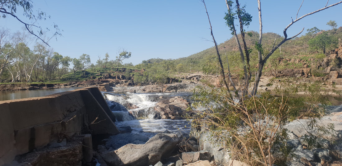 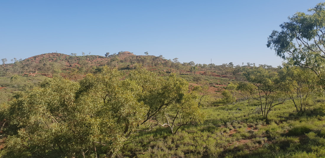
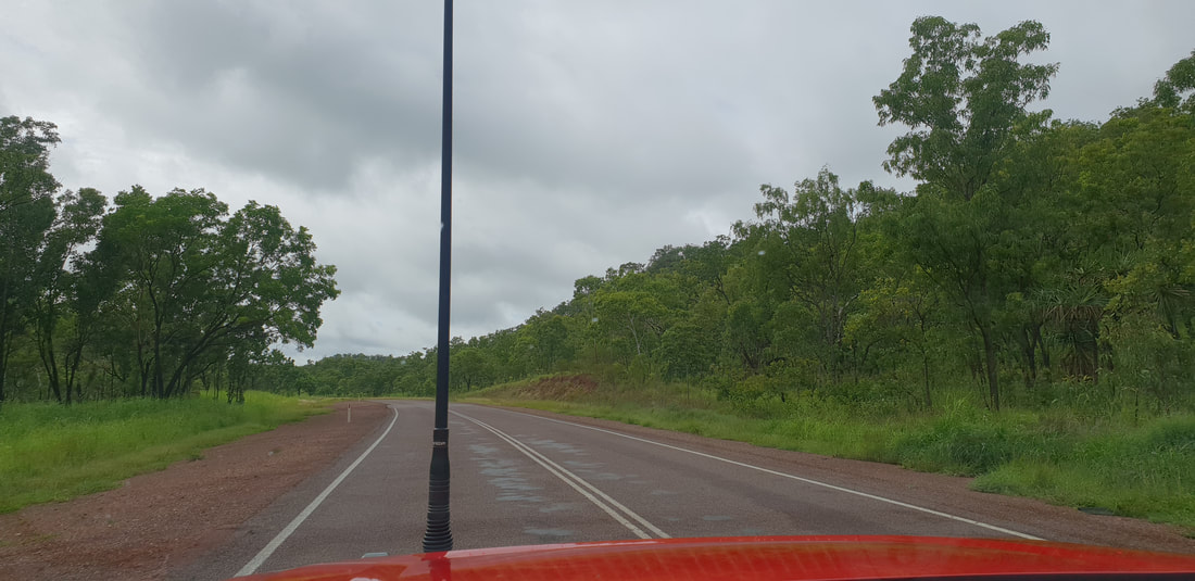
Shovel had a job offer back in Mount Isa, so we departed Darwin soaked in summer rains and ventured south back along the Stuart highway following our previous route, taking a short lunch break at Pine Creek.
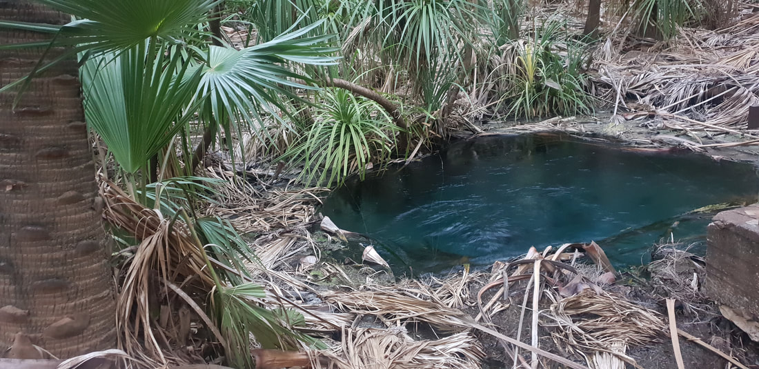
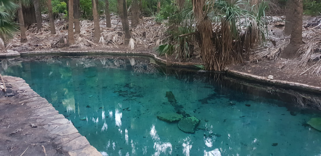
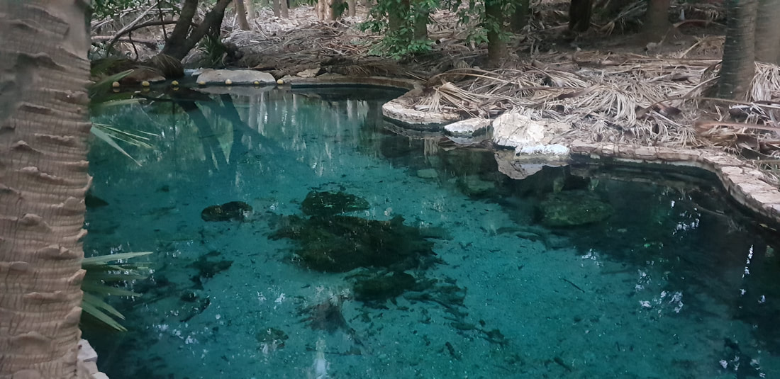
  Mataranka Thermal SpringsOur first night’s stop was Mataranka, and this time we stayed at the Mataranka Homestead located at the “famous Thermal Pools.” A homestead constructed in 1916 on a sheep station, was turned into the tourist attraction experienced today by Victor Smith after he returned to the area in 1946 having visited the springs during WWII. The springs are situated near a replica of the old Elsey Homestead, which was constructed for the film, We of the Never Never, based on a book published in 1908 of the same name by Jeannie Gunn. Gunn arrived in Mataranka with her husband, Aeneas in 1902 to manage the Elsey Station but she left shortly after in 1903 following Aeneas’ death. The territory remained with Jeannie and the novel based on her experiences at Elsey became a best seller, which was subsequently turned into two movies (1950s and 1980s). The phrase ‘Never Never’ refers to the notion of being somewhere hopelessly distant and was synonymous with isolation and doing it tough. Henry Lawson coined the term in his 1901 poem, The Never-Never Land, which captured the sentiment of loneliness evoked by Gunn. This is an extract: Where lone Mount Desolation lies Mounts Dreadful and Despair- ‘Tis lost beneath the rainless skies In hopeless deserts there; It spreads nor-west by No-Man’s Land Where clouds are seldom seen To where the cattle stations lie Three hundred miles between.  
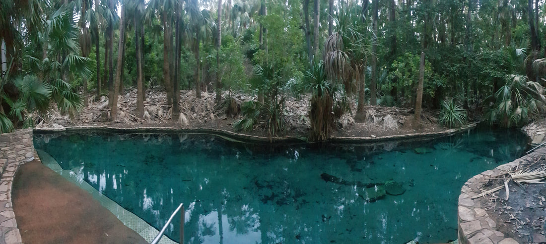 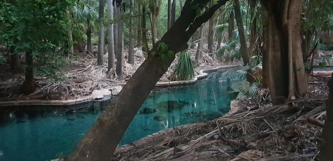
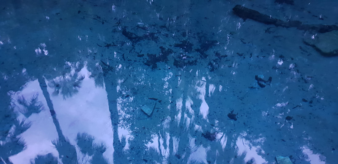
Mataranka Springs is part of the Cambrian Limestone Aquifer (CLA) one of the largest aquifers in Australia (about 1.5 times the size of Italy) fed from two CLA groundwater flow paths, the Daly and the Georgina. In studies conducted at the Mataranka Springs Complex by the Australian Government CSIRO in late 2019 scientists discovered radiogenic helium, which indicated a third very old groundwater source (perhaps hundreds of thousands of years old) could also be feeding the springs. This is vital information that will require further investigation and assist with the assessment of a gas resources development currently being undertaken in the Beetaloo Basin. There are concerns within the community that hydraulic fracturing in the Basin may contaminate the water supply or over-exploit the groundwater. Mataranka LightningIt was the national public holiday, Australia Day when we left Darwin and arrived at the Thermal Springs. Despite the controversy of celebrating the birth of a nation on a day synonymous with the declaration by British colonisers of ‘terra nullius’ that lead to the disregard of First Nations and the destruction of their culture, the vibe was amicable and welcoming. Florence was one of only two caravans at the park, so we assumed that most of the visitors enjoying the refreshingly clear springs were locals, joking, splashing around, and laughing as they listened to classic Aussie rock on a nearby portable radio. An Indigenous elder attempted to converse with us but as we couldn’t speak the local language and therefore weren’t able to grasp the conversation but appreciated the experience and were grateful for his attempts to include us ‘blow ins’ in the festivities. Later that night after a feed at the open-air Malukas Bar we were treated to an incredible lightening display, which we witnessed through the window of Florence as she swayed in the wind and was plated by the intense summer rain.
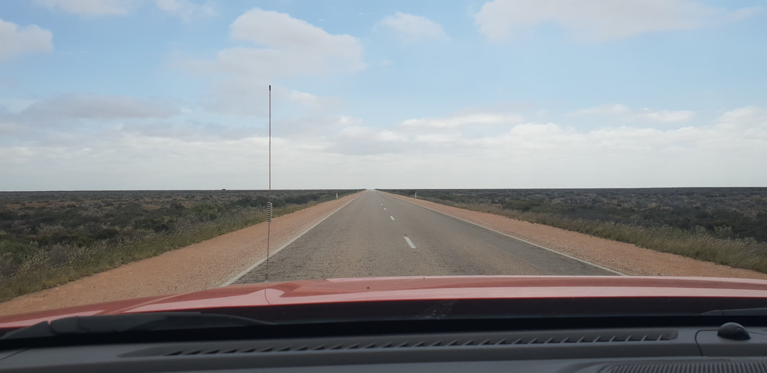
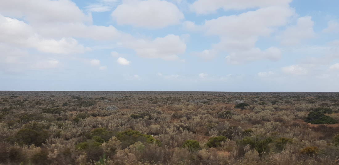
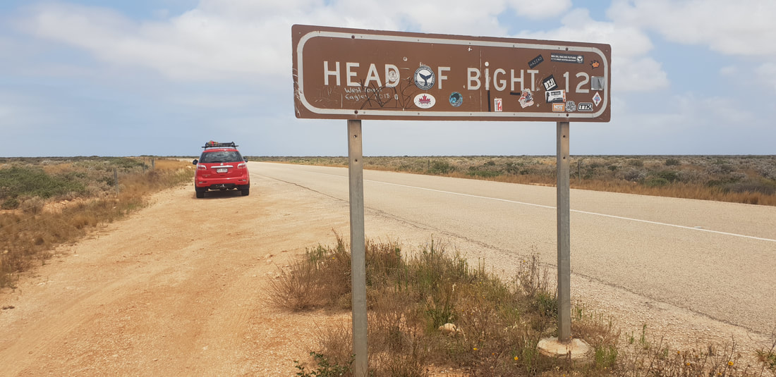
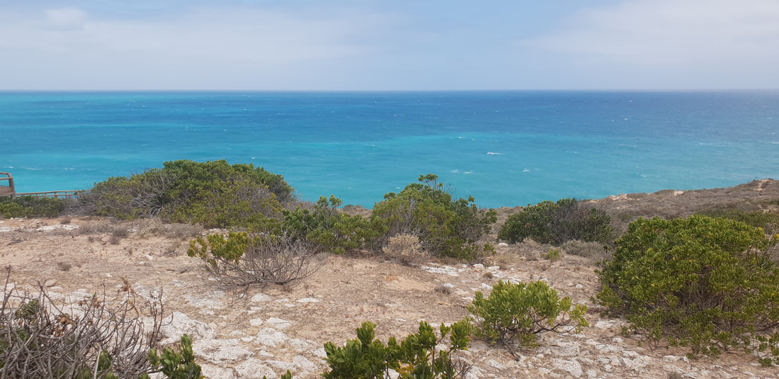
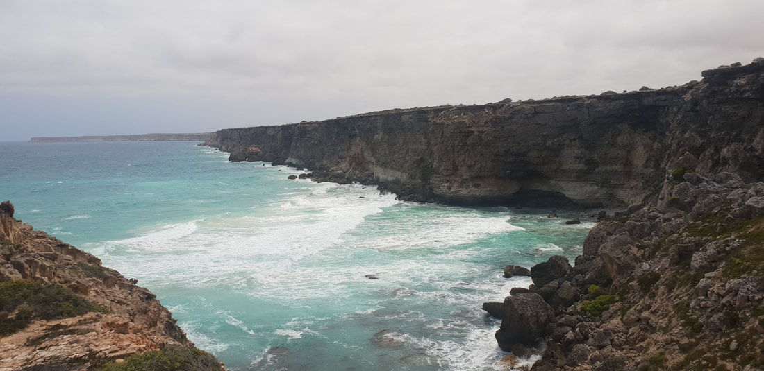
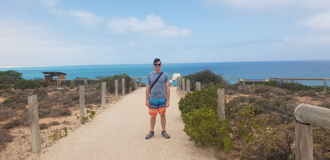
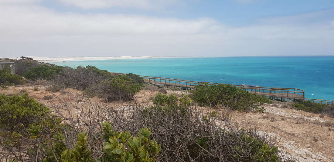
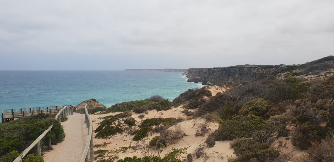
The head of the Great Australian Bight is most well known as a popular vantage point for whale watching, however even sans whales the indigenous run Head of Bight facility is one to put on the list. Walking out of the visitor centre in the direction of the ocean my mouth literally dropped as the expanse of turquoise blue penetrated my eyes. The view is in a word STUNNING and the beauty difficult to capture in photographs. The Bunda Cliffs that begin at the Head of Bight and extend the length of the Nullarbor Plain are made up of three distinct types of limestone. The first layer at the base is called Wilson Bluff Limestone, formed by the skeletons of decomposed marine organisms when the oceans were much higher than they are today. The second layer in the middle is called Nullarbor Limestone and began forming from sedimentation about 25 million years ago. The third and final layer on the top is called Bridgewater Formation and is windblown calcareous sand formed between 1.6 million years and 100,000 years ago. Nature is amazing and incredibly awe inspiring.
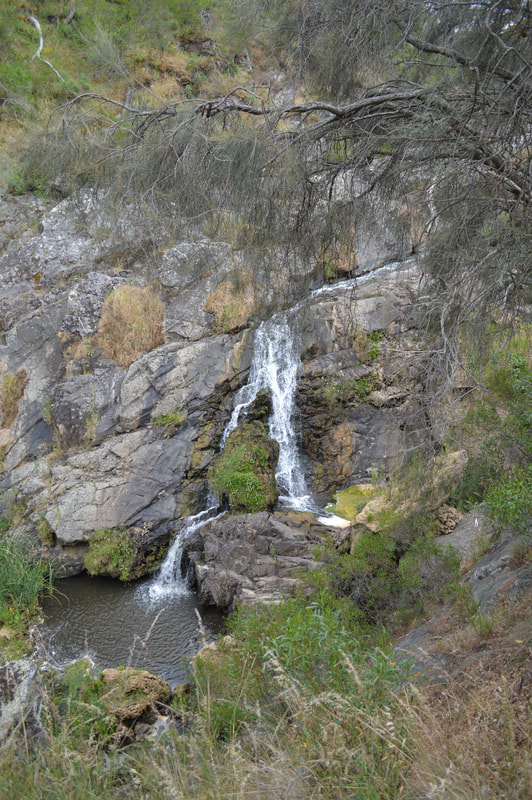
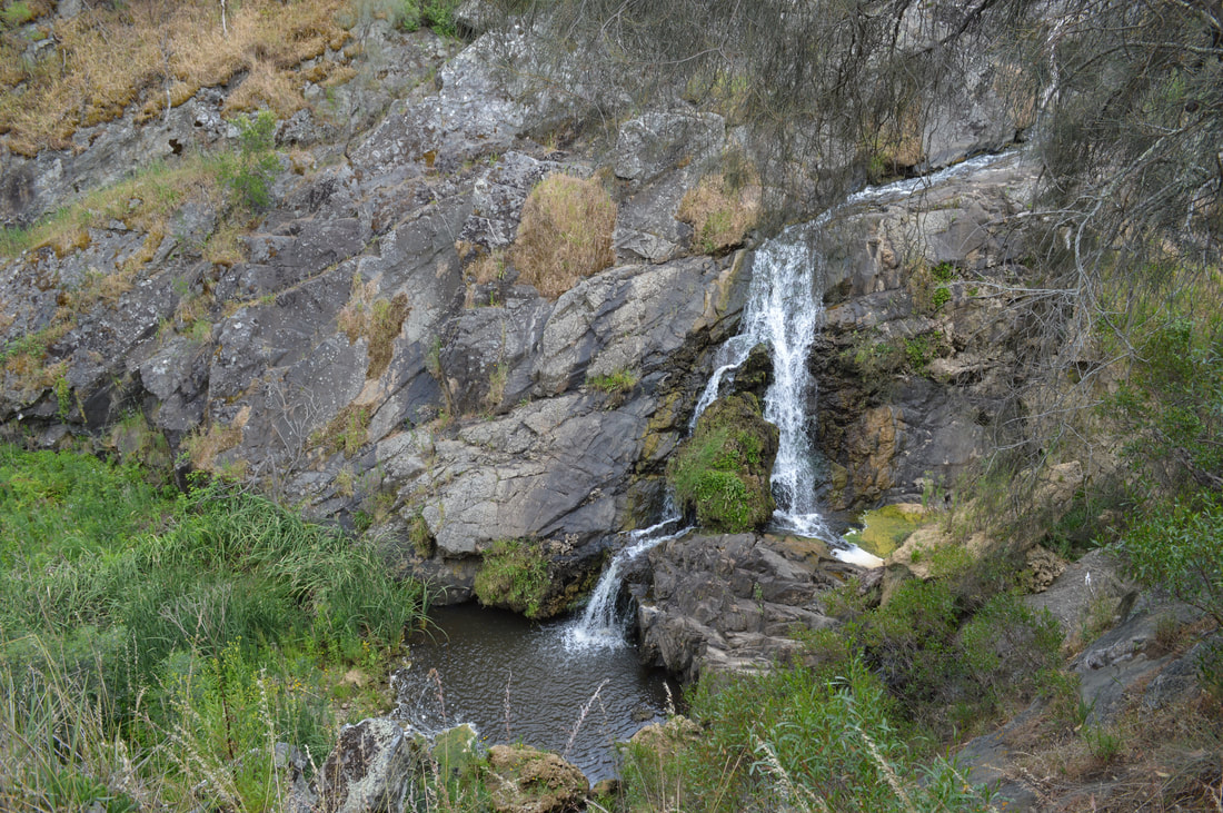
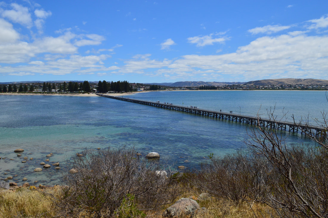
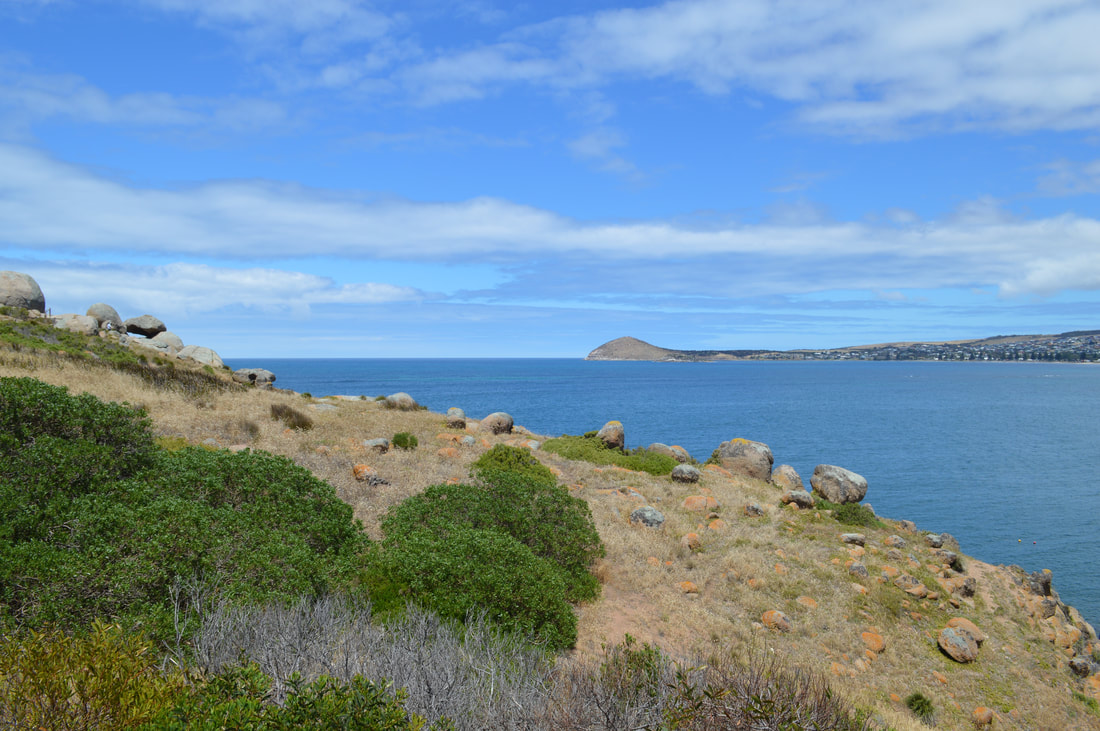
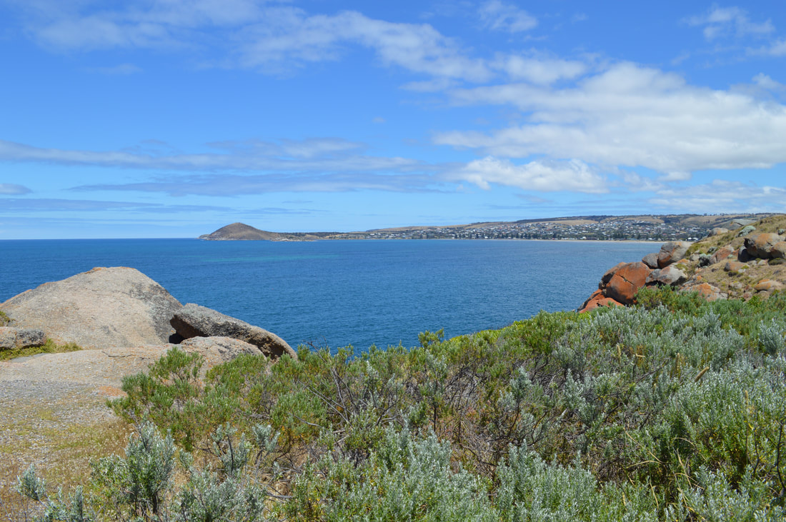
On one of our days in Adelaide, we took a short 60 kilometre drive to Victor Harbor. It's a town with quite an interesting history, which all began at Encounter Bay. The bay that Victor Harbor sits on was first discovered by Matthew Finders in April 1802 while he was surveying the southern coast of Australia from the west. The most interesting part is he spotted French explorer Nicolas Baudin in Le Georgraphe near the Murray Mouth several kilometres away. The French and the English were at war during that time, both ships had documentation from each other's nation’s government stating they were not ships of war and were purely on scientific missions. The ships banked ashore and shared paperwork. From that day where they banked, it was named Encounter Bay by Matthew Flinders. In 1837 Captain Richard Grozier anchored off Granite Island just across shallow waters of where the town is today. He named the isolated waters Victor Harbor, after his ship HMS Victor. Not long after, two whaling stations kicked off at Rosetta Head and Granite Island, putting South Australia on the map for whale oil exports. The town of Victor Harbor was laid out on the beach in 1863 after the horse drawn tram extended it’s services from Goolwa. Hindmarsh Falls
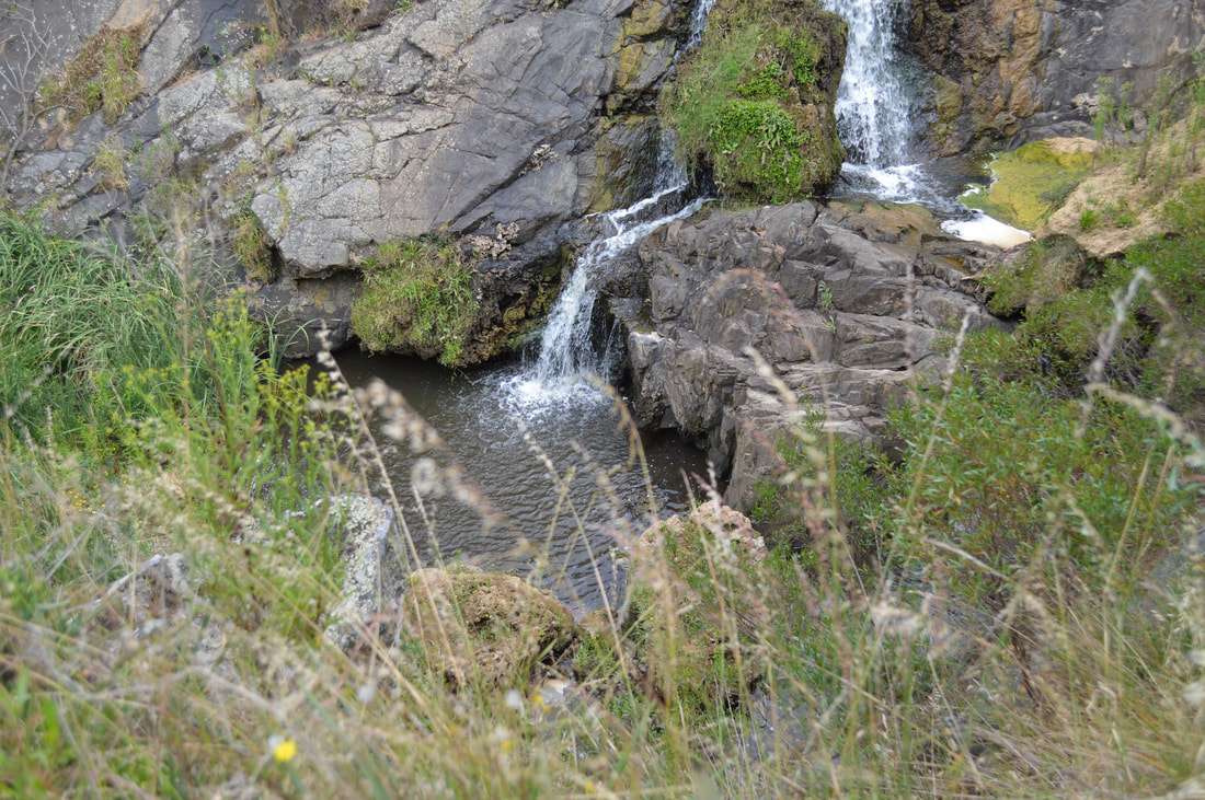
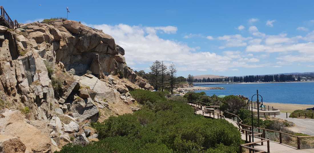
On the drive towards Victor Harbor, we pulled in for a look at the Hindmarsh falls. A short drive off the Hindmarsh - Tiers Road takes you to a hidden gem in the dry country. Dark green vegetation and running water make for a pleasant water fall. We made our way into Victor Harbor, parked up at the esplanade and went for a stroll around the town. Heritage listed buildings like the savings bank, telegraph office, cinema and railway stations aide you to imagine what the town was like back in those days. Its a tidy town and a breeze to walk around with its relaxed atmosphere. Granite Island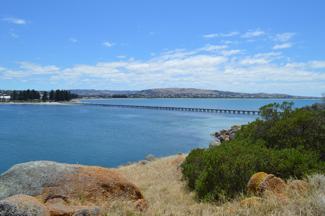
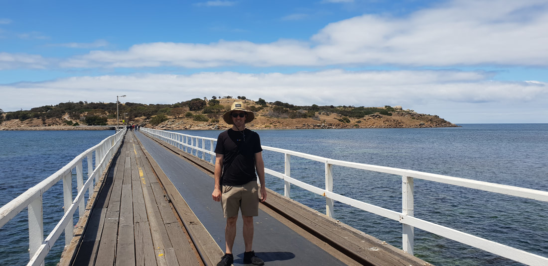
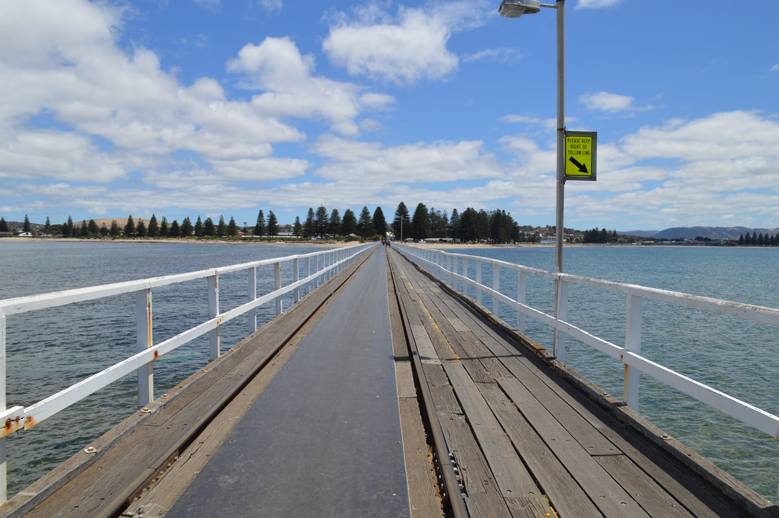
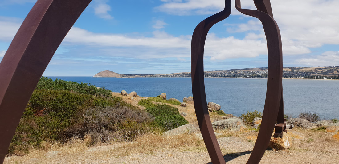
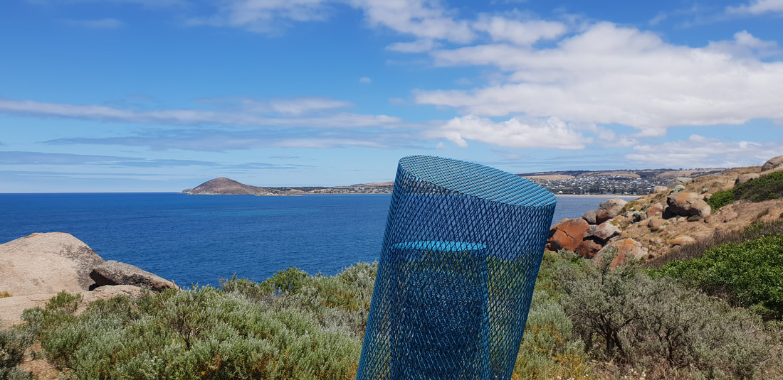
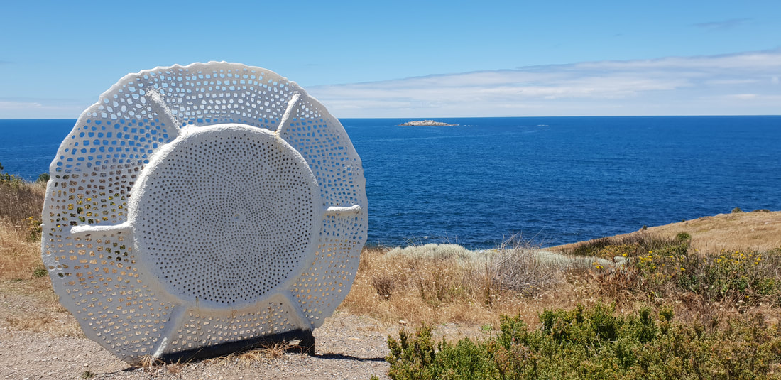
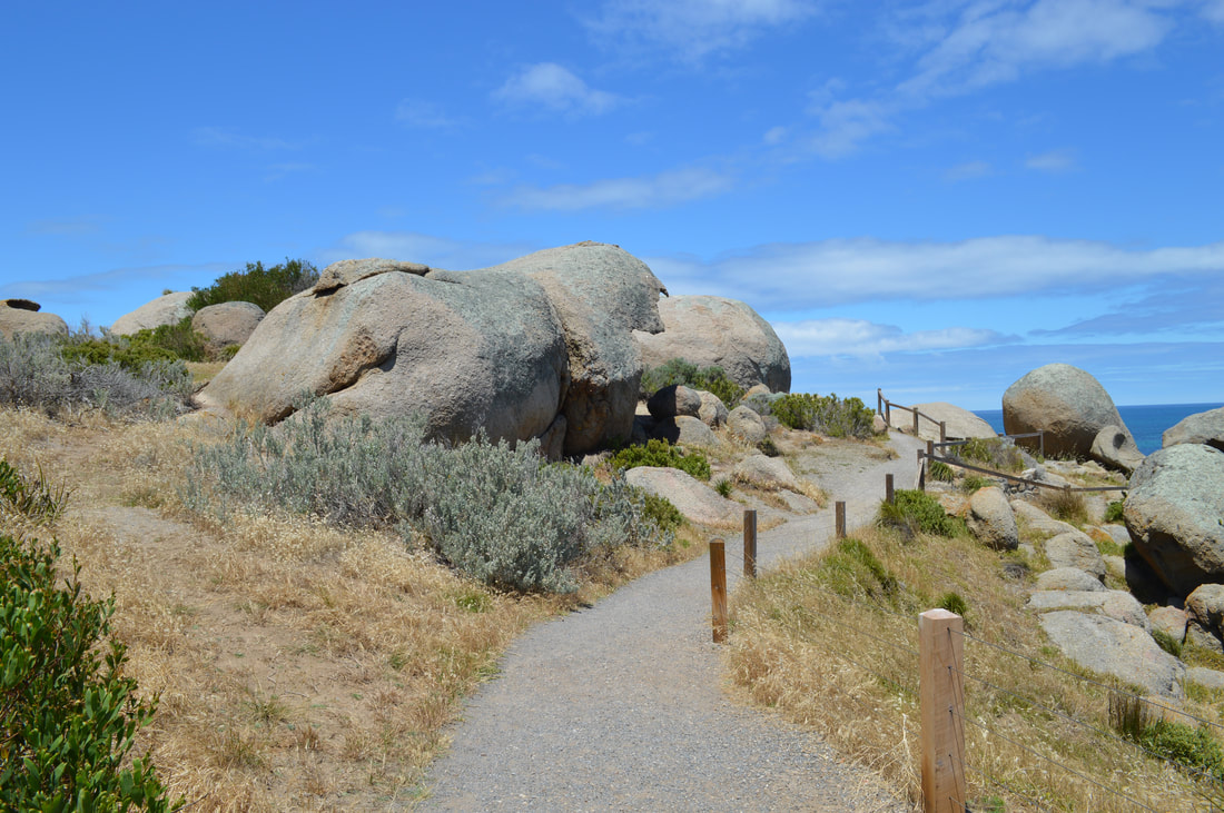
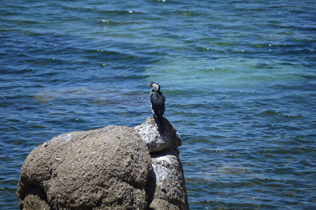
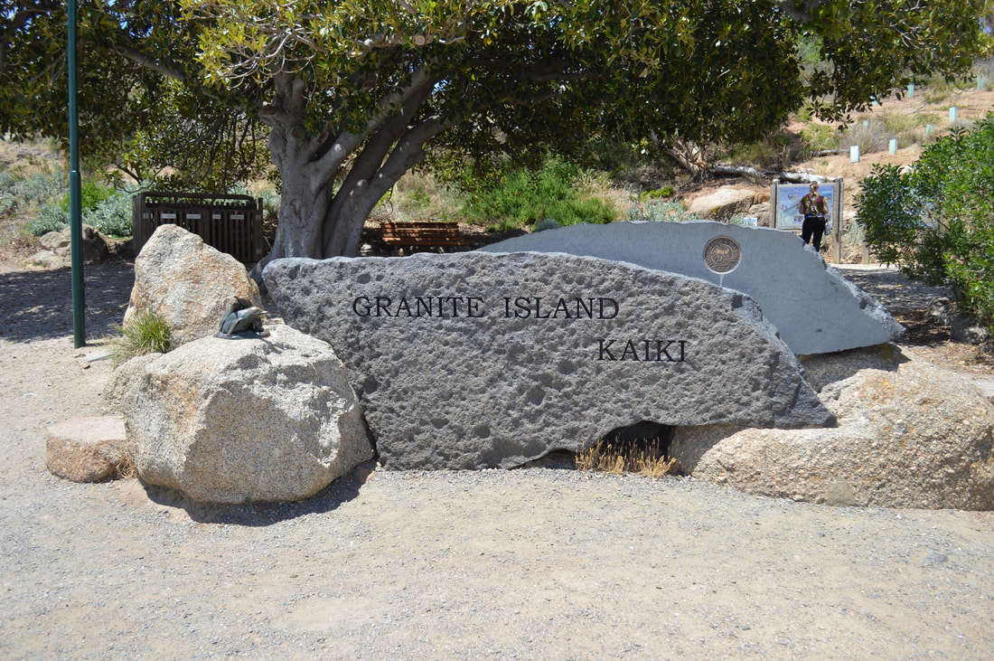
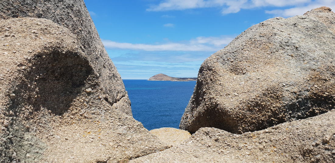
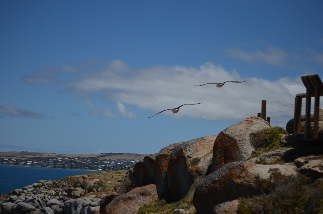 We headed out for a walk across the bridge to Granite Island and were quite shocked to see the horse drawn cart still happening. This idea of transport worked great for back in times without electricity or internal combustion to transport granite and whale products. To be using this primitive idea now to move sloths across the bridge who couldn’t be bothered walking is completely impractical. The horse looks like it breaks it’s back towing the tram along the tracks, it wouldn’t be good to know how bad it was for them when they were dragging granite and other goods around. We walked around Granite island on the walking track. The leisurely stroll makes for splendid views across the waters of Victor Harbor back into the town. Some artworks on the way kept us entertained alongside some of the birdlife doing their daily routine. On the easterly side of the island was some more views out towards sea eventually bringing us back to the bridge. We also noticed a couple of penguin chirps on our walk, a colony used to beach on Granite Island, over the years the numbers have declined drastically to a growing New Zealand seal population and vandals. We finished off the day with a delicious sweet potato fritter from McLaren Vale and made our way back to Florence. We did enjoy parts of Victor Harbor, pleasant heritage buildings and a walkable island were certainly the highlights. A few of the tourist attractions seemed well past its prime, the penguin viewing area looked like it hasn’t been used for years and the Horse Drawn tram feels like Victor Harbor’s last tourism hope, which looked a little depressing. The easy going pace made for a relaxing day in Victor Harbor, not a bad place to visit, but not again. Around Town
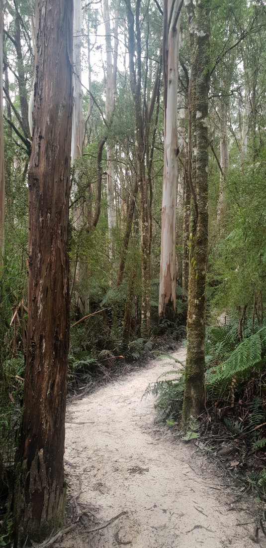
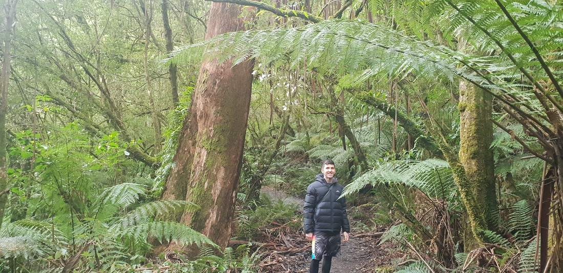
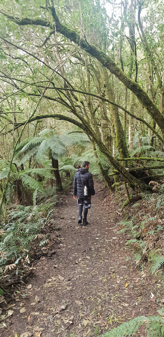
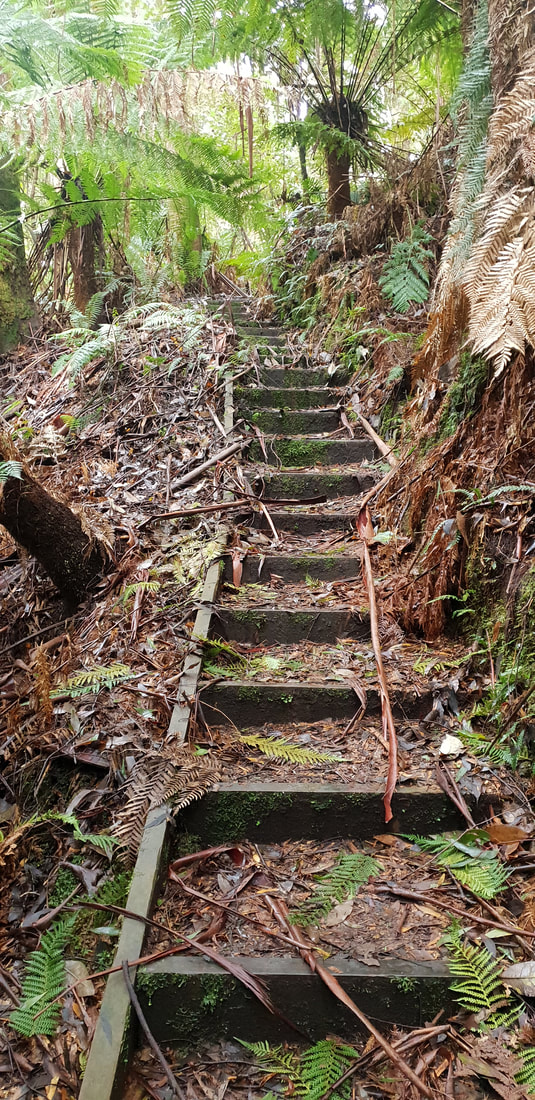
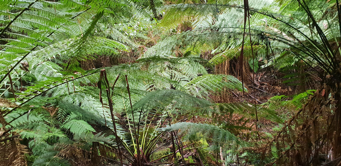
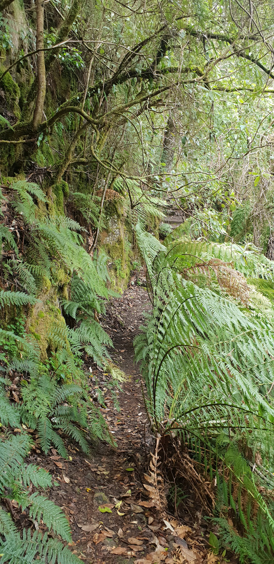
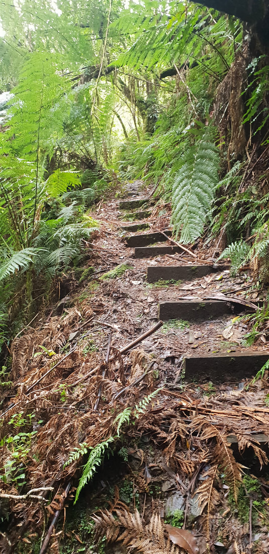
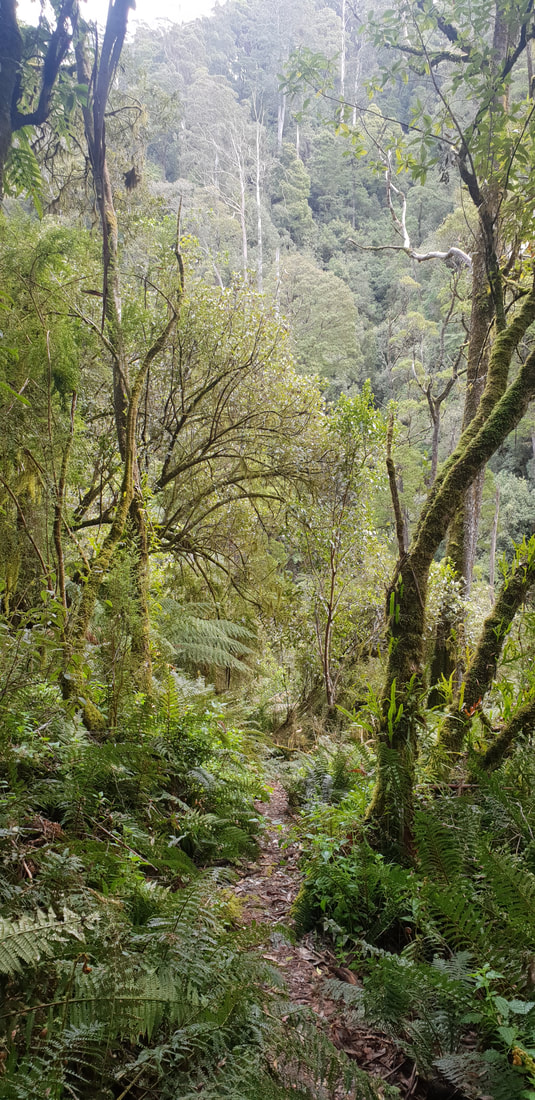
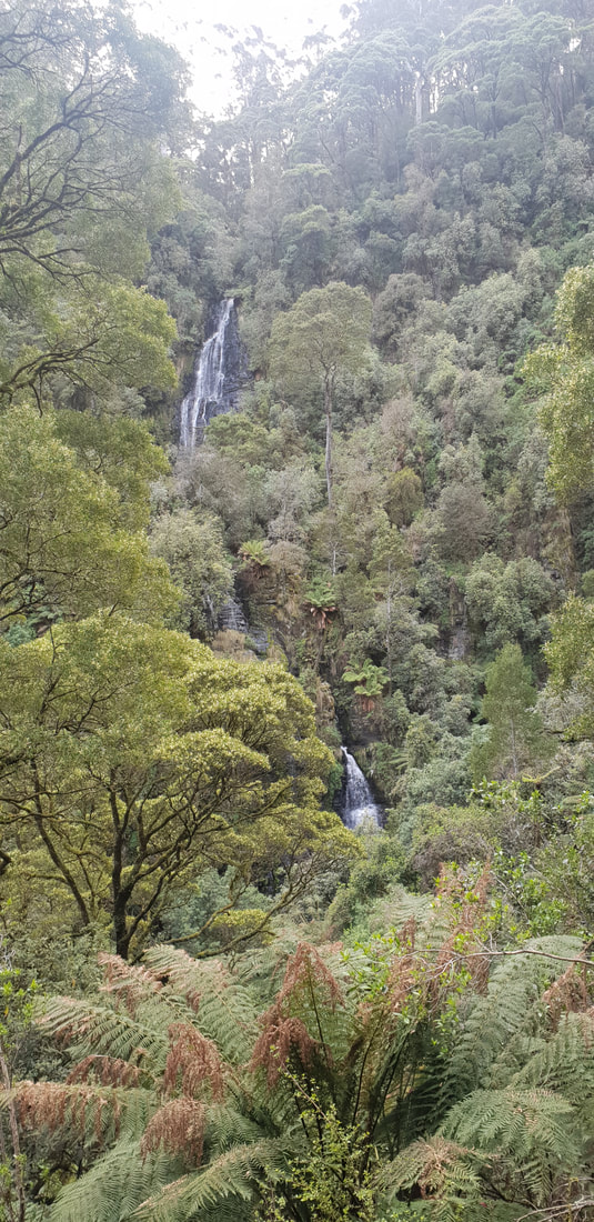
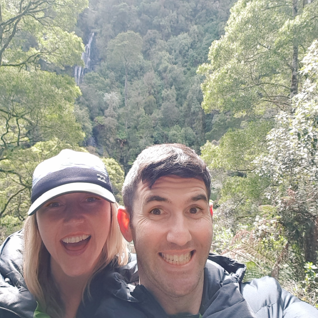
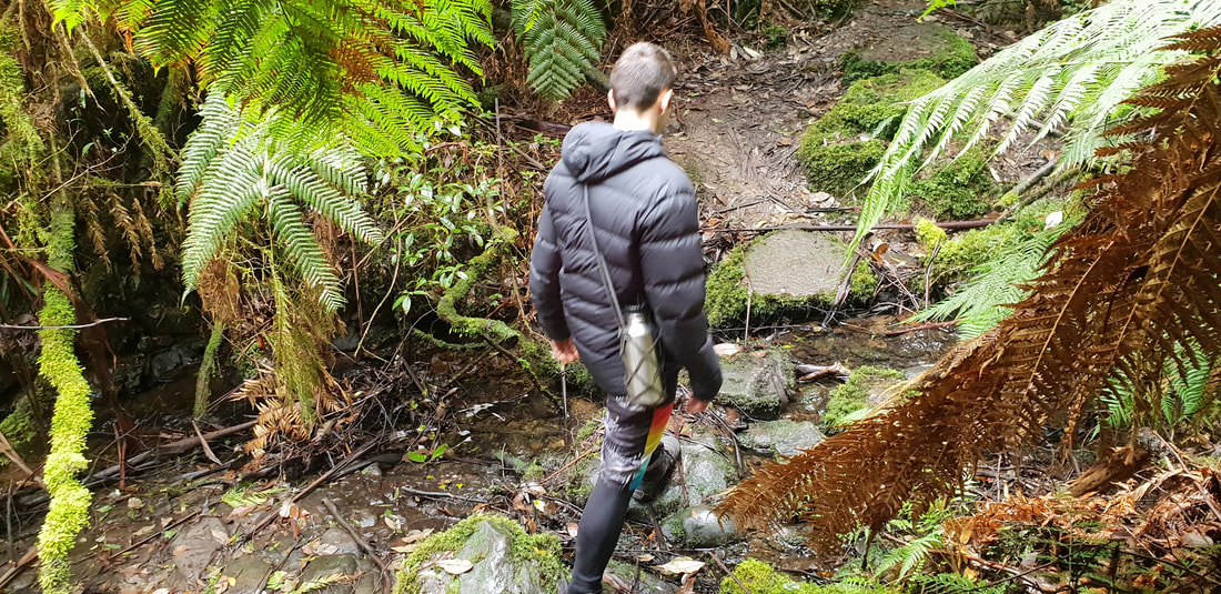
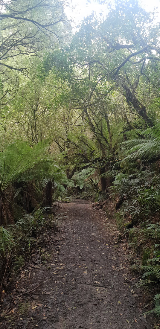
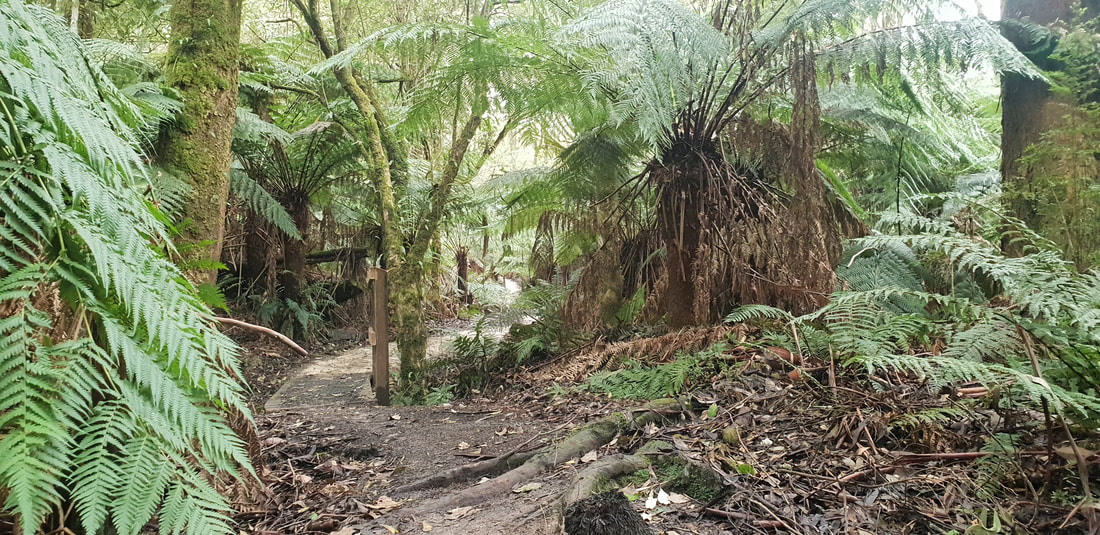
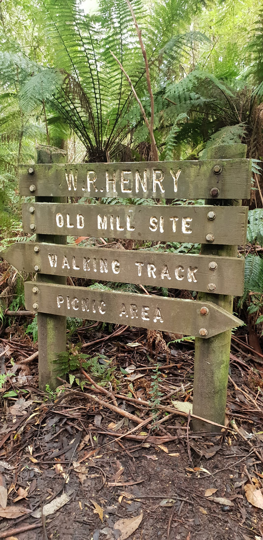
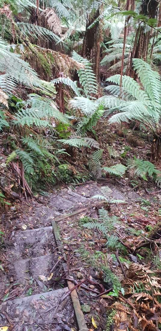
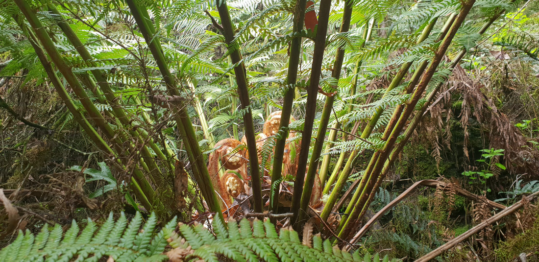
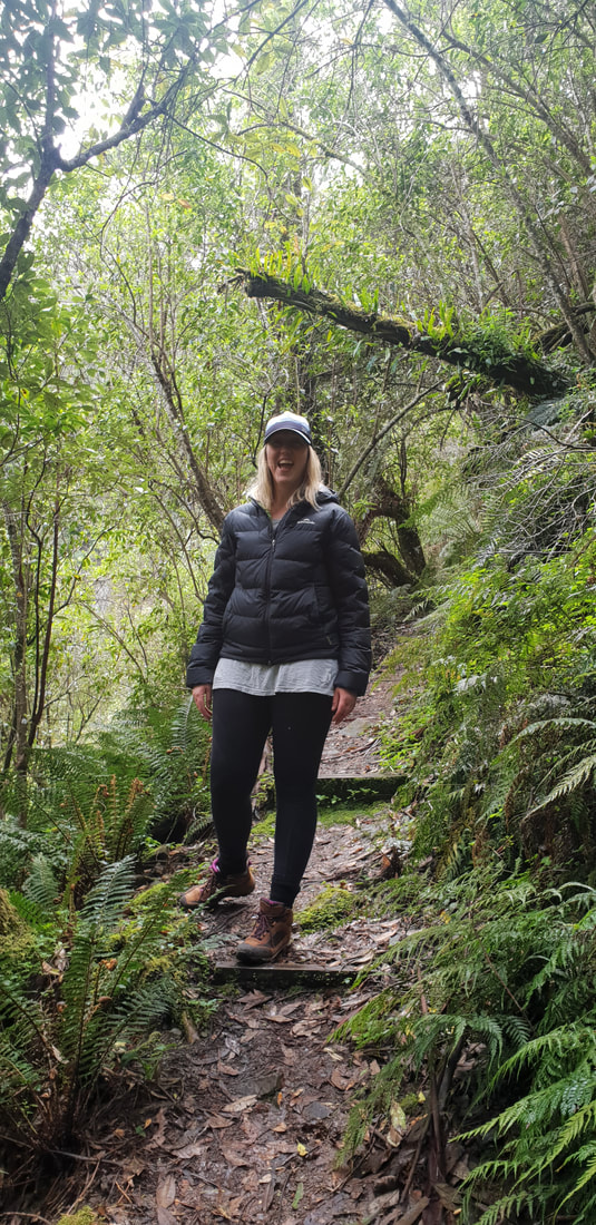
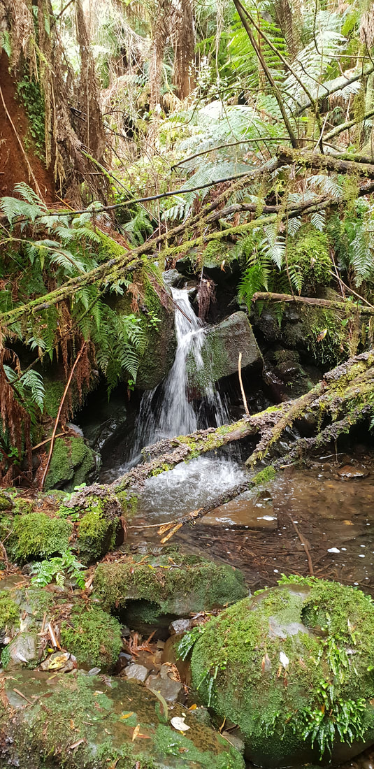
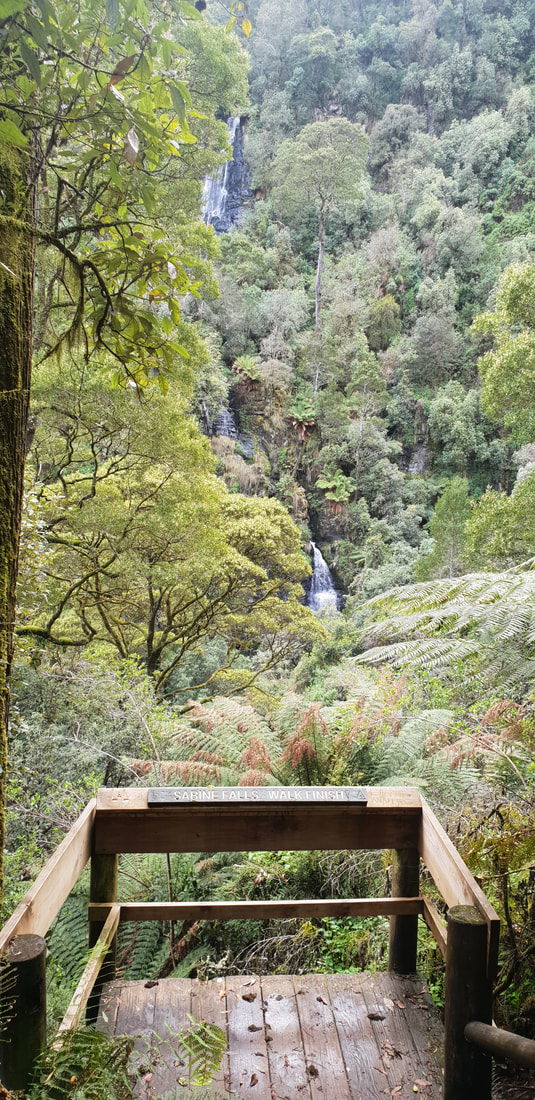
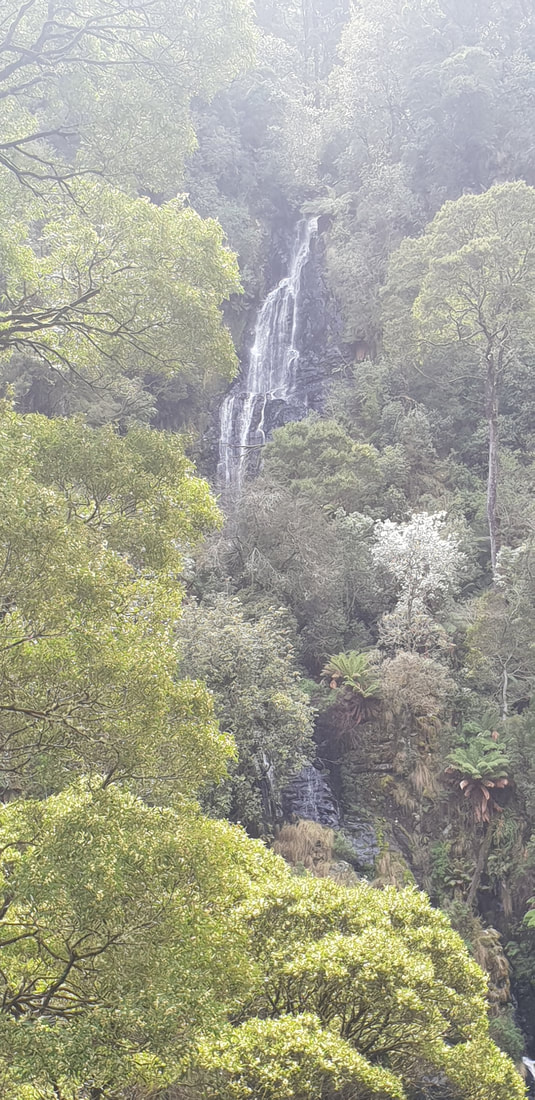
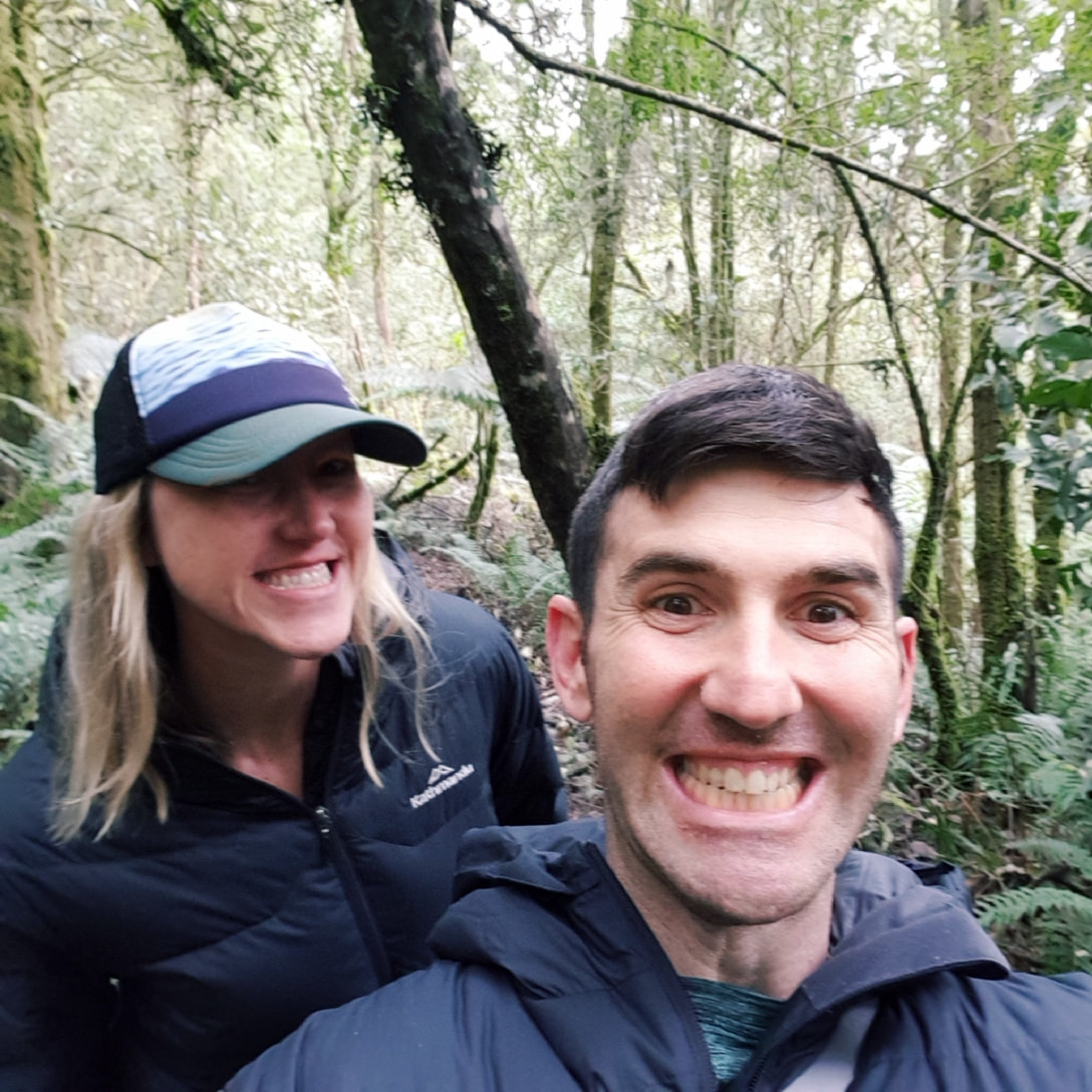
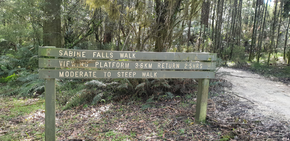
Ken Martin's book 'Walks of the Surfcoast' describes Sabine Falls as 'disappointing visually' encouraging the reader to instead disregard this walk that contains approximately 400 steps. Ken states there are other walks within the Otways and along the Surfcoast where the falls are more 'accessible' and 'picturesque.' Shovel and I strongly disagree and would by contrast encourage anyone interested in getting outdoors to explore this more remote area of the Otways National Park. The falls would be one of the tallest in the region and the walk is exciting as it traverses creek crossing and wrangling rainforest fern fronds.
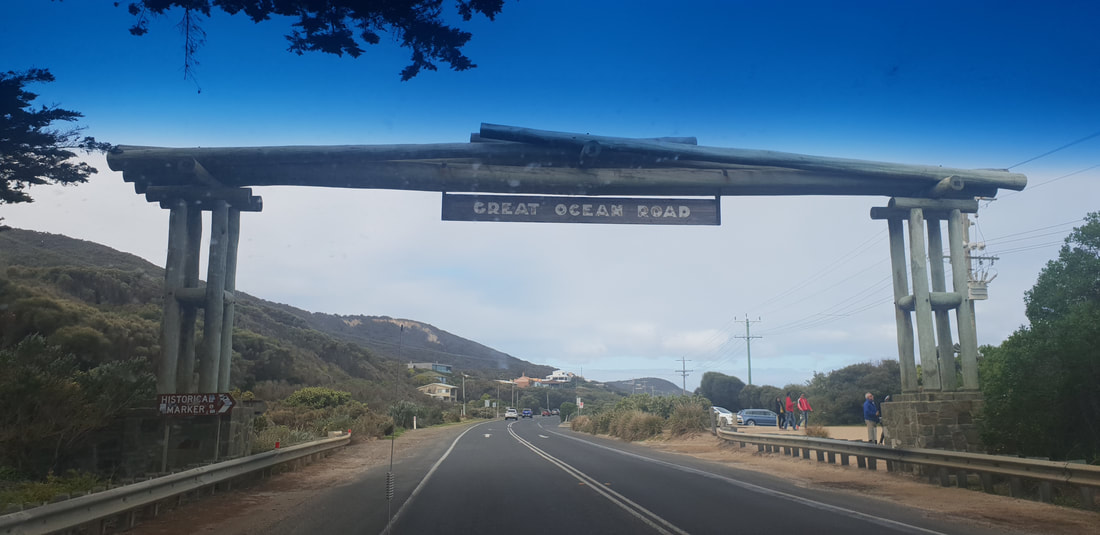
Great Ocean Road
|
The JourneyChoose Curiosity The Catalogue
November 2023
The Tags
All
|


 RSS Feed
