|
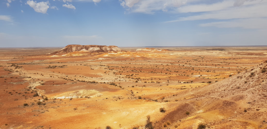
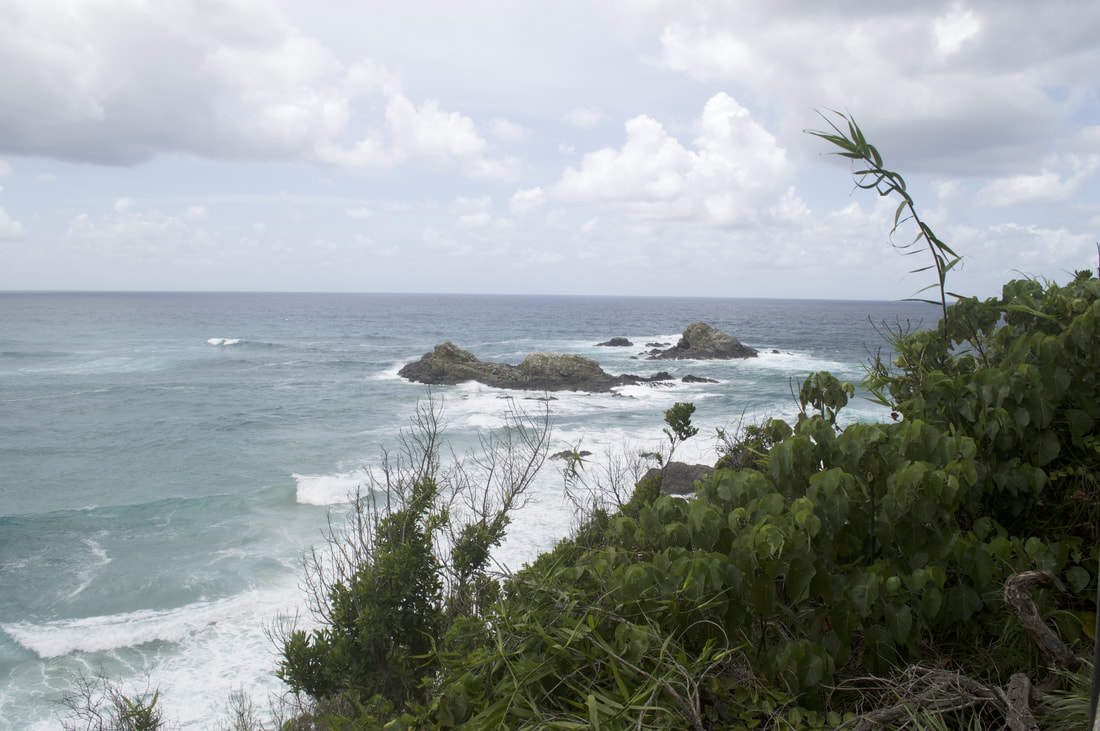
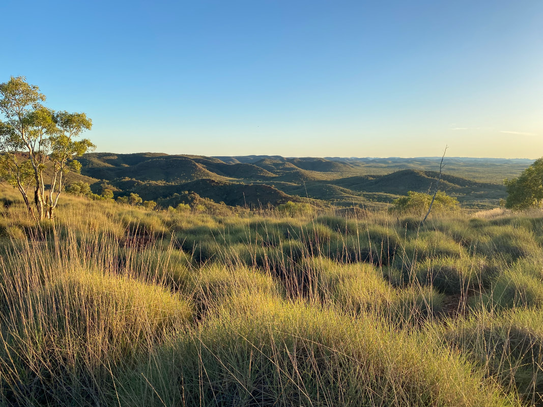
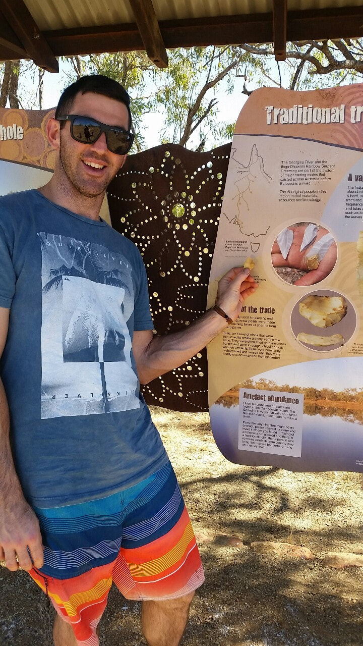
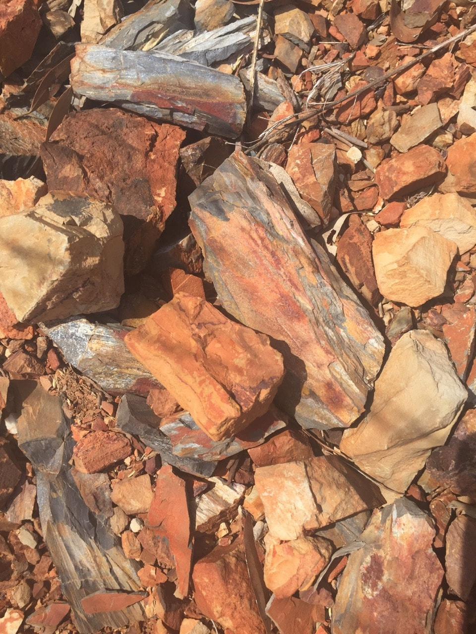
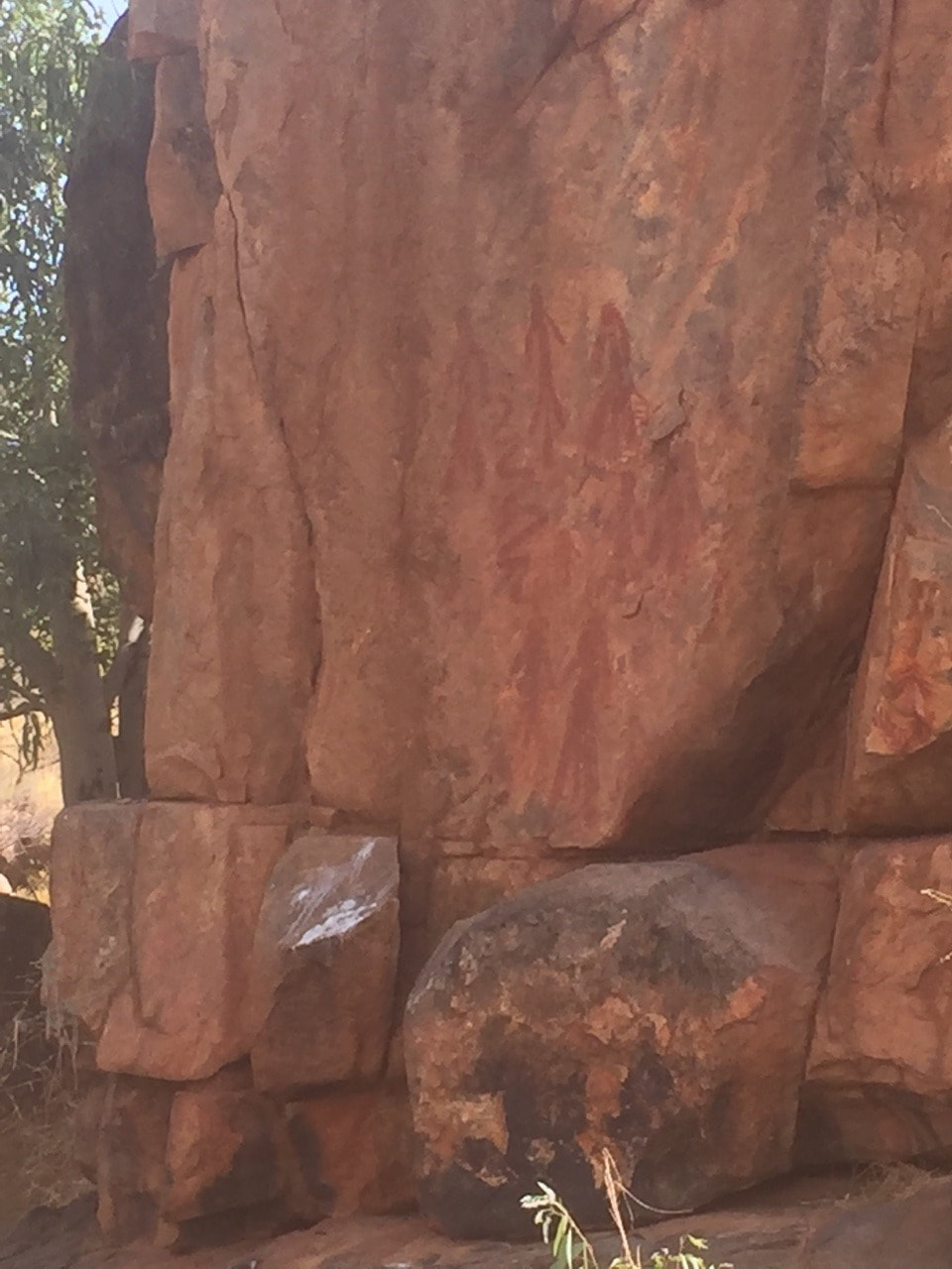
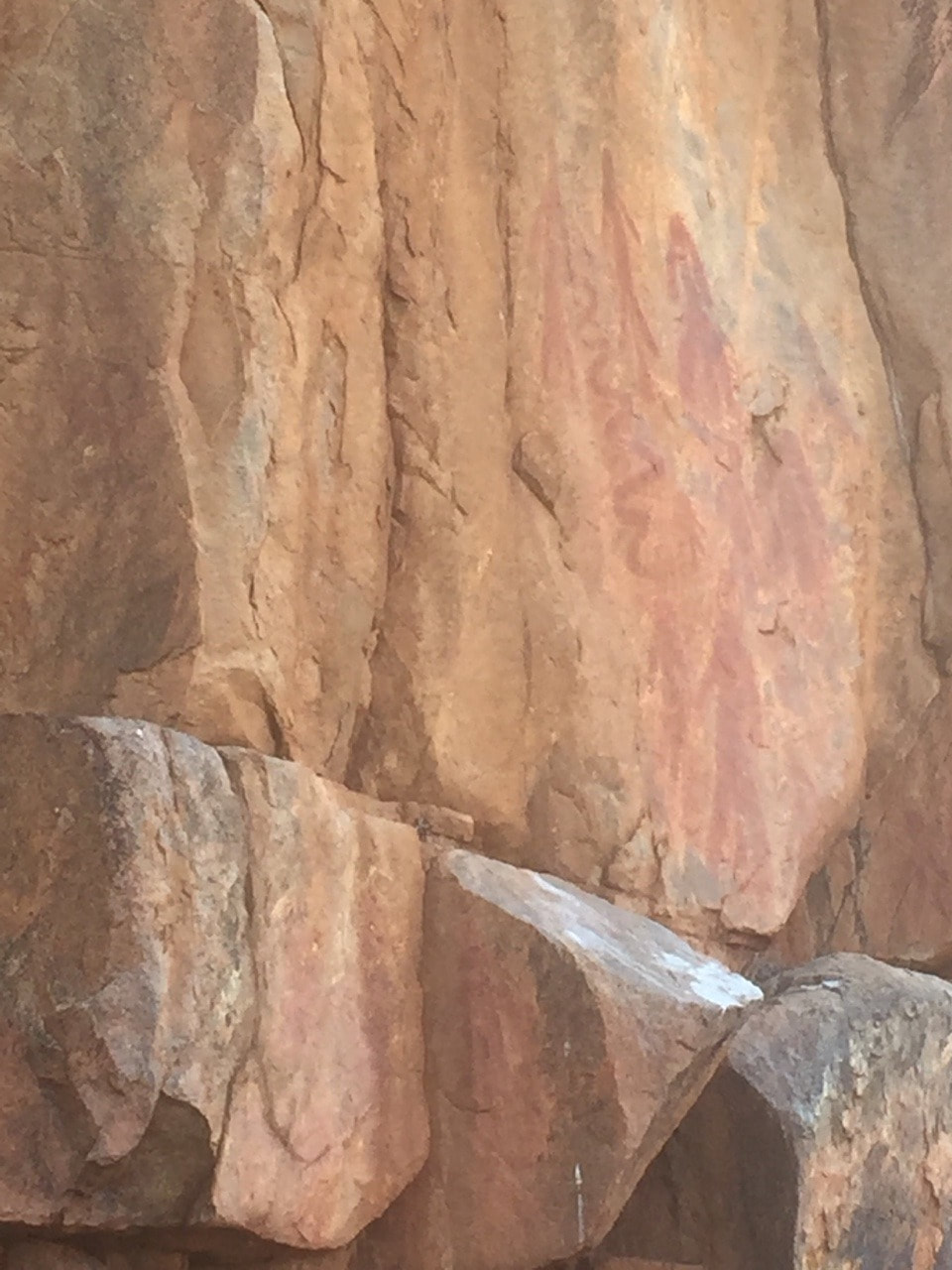
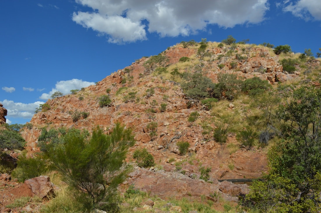
The indigenous peoples of the Mutuntjarra and Antakirinja traditional groups have lived and hunted on these lands for thousands of years. Today jasper and silcrete stone tools can still be found in the area, of which holds cultural significance as a teaching place for young watis (men). As such the cultural story of the area remains closely guarded yet some aspects are known. The area prior to European settlement was called, Umoona, named after the local mulga tree, that means ‘long life’. The flat-topped mesas and rocky outcrops amongst the landscape represent in indigenous culture animals, that include the Ungkata (breaded dragon lizard) and Kalaya (emu). Tudu (red ochre) used for ceremonial body decoration is sourced in the Kanku, which is located about 30 kilometres north of Coober Pedy. These protected lands were once an inland sea, now home to about 60 native flora species and a variety of birds and wildlife including the fat-tailed dunnart and red kangaroo. The colours in the landscape are breathtaking and incredible to witness in person. 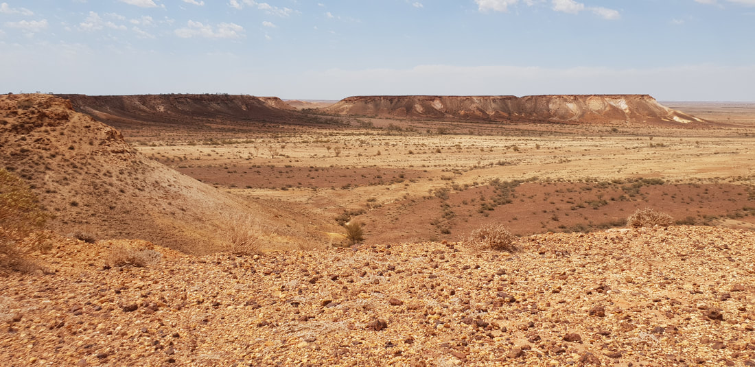 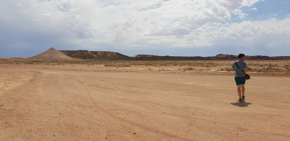 Wati the owner of the two dogs 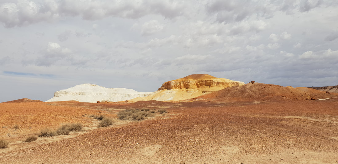 Two dogs (papa) sitting - one yellow, one white
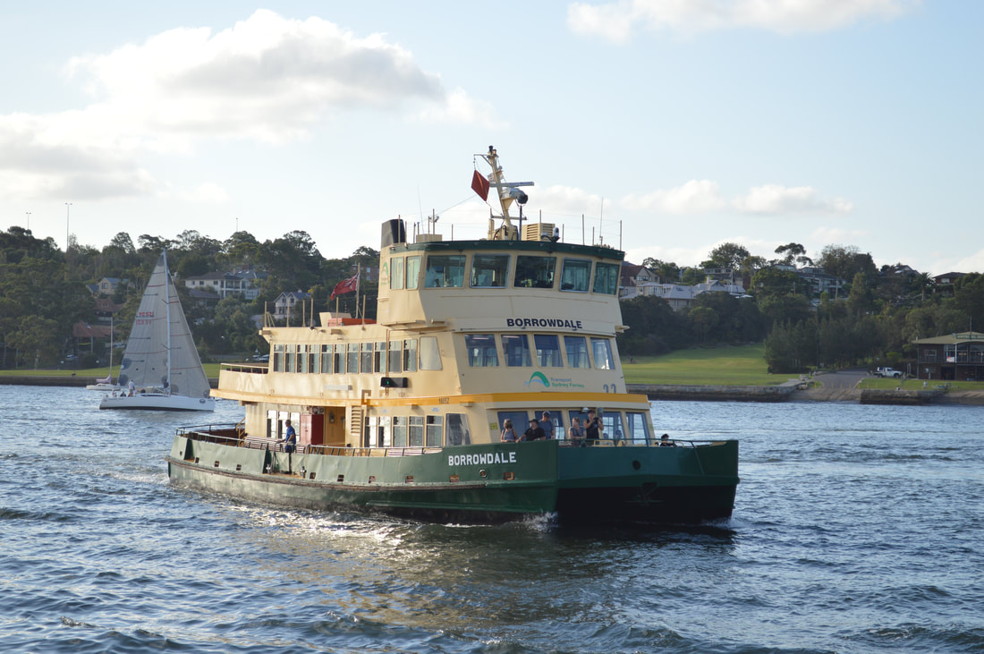
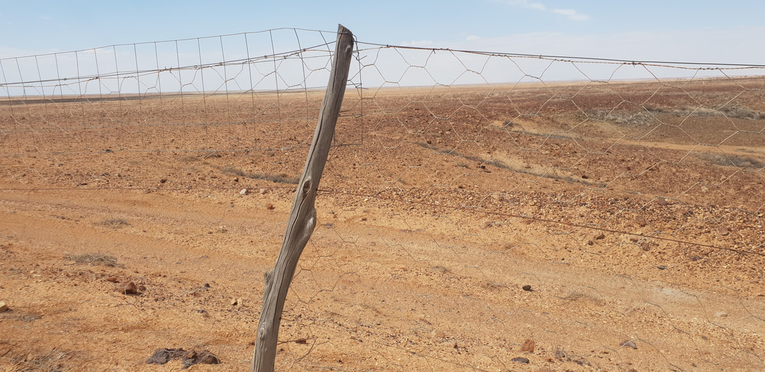
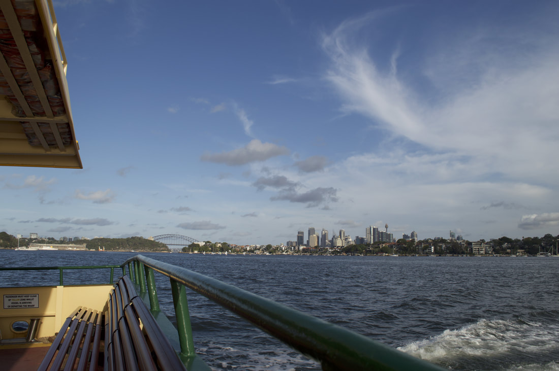
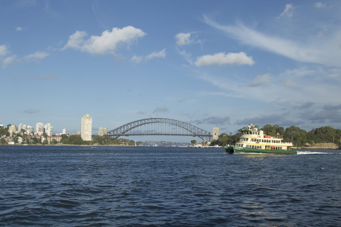
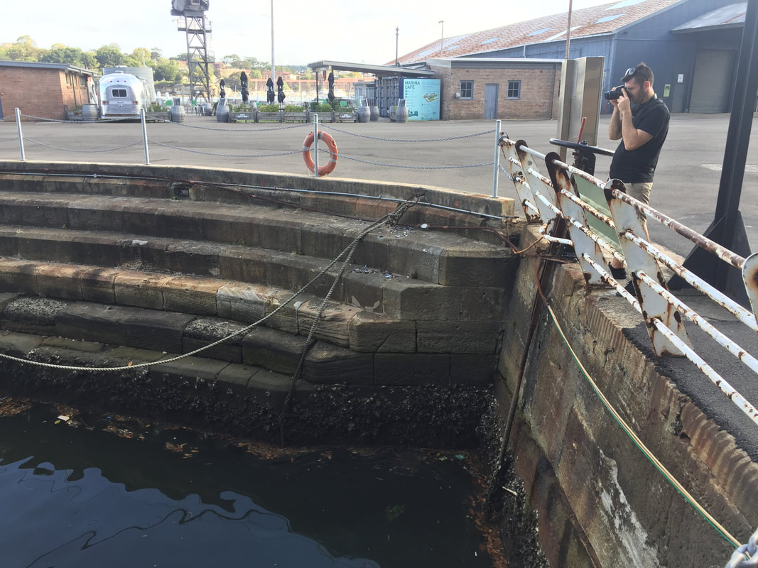
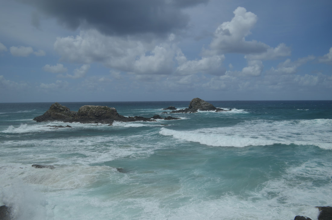
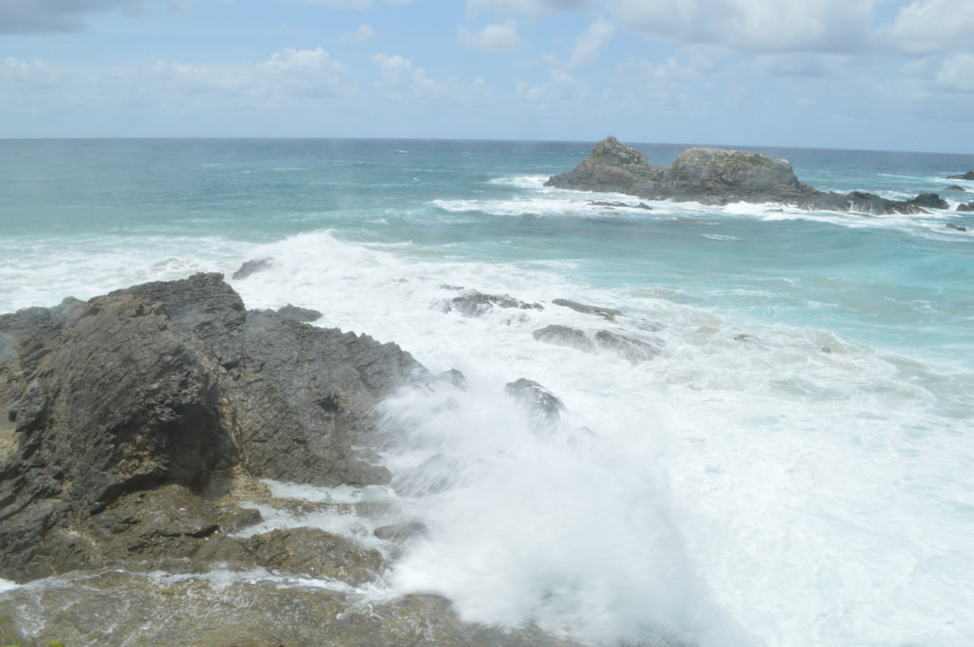
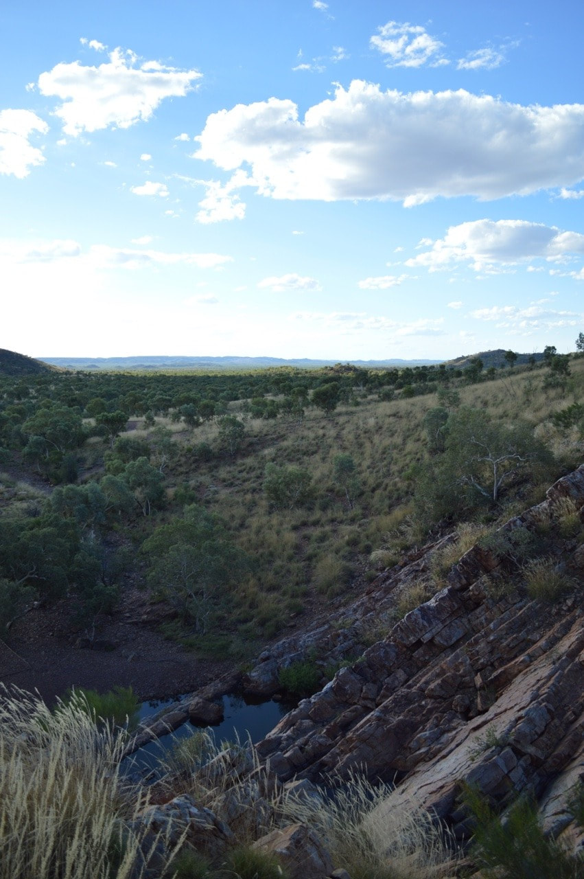
 Dog FenceThe longest fence in the world, spanning 5,614 kilometres, was originally built in the 1880s to keep rabbits out of the south-eastern region of Australia, however, was updated in 1946 to exclude dingoes, after settlers who had started to use the area for grazing in 1941 experienced many sheep losses. The fence starts at Nundroo near the Great Australian Bight and extends all the way through South Australia along the New South Wales border into Queensland, ending near Dalby in the Darling Downs. The ‘Dog Fence’ as it is commonly referred runs along the edge of the Kanku-Breakaways Conservation Park, and we were able to drive along it on our way back to Coober Pedy. Whilst staying at Ceduna we took a trip to see the ‘Dog Fence’ along the Googs Track at Yumbarra Conservation Park. 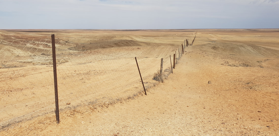
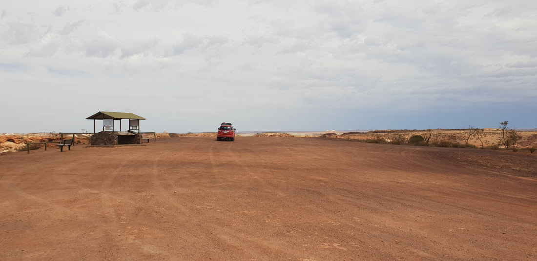
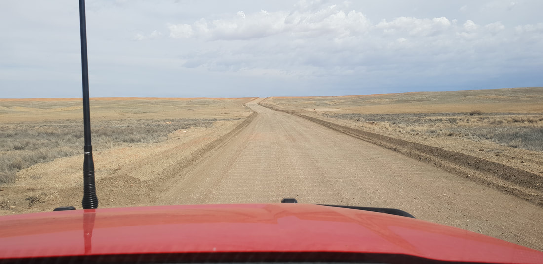
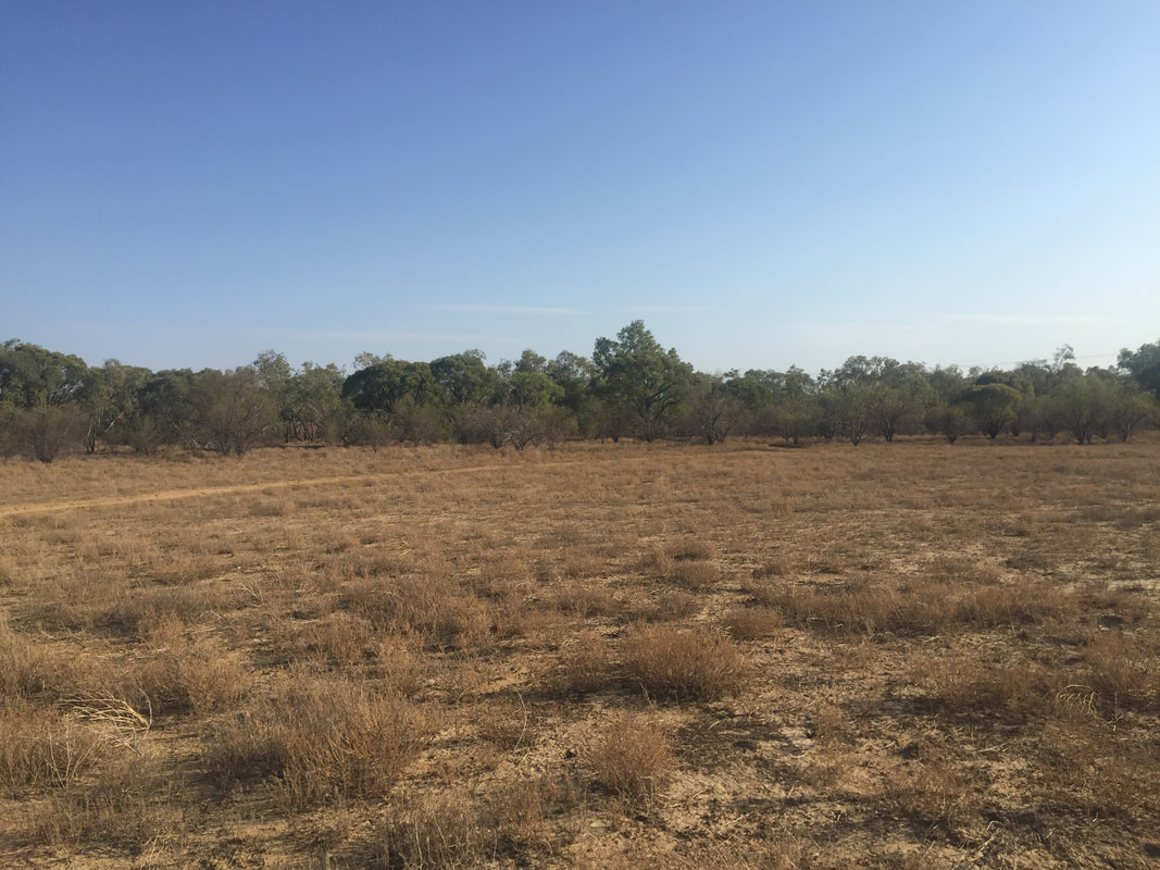
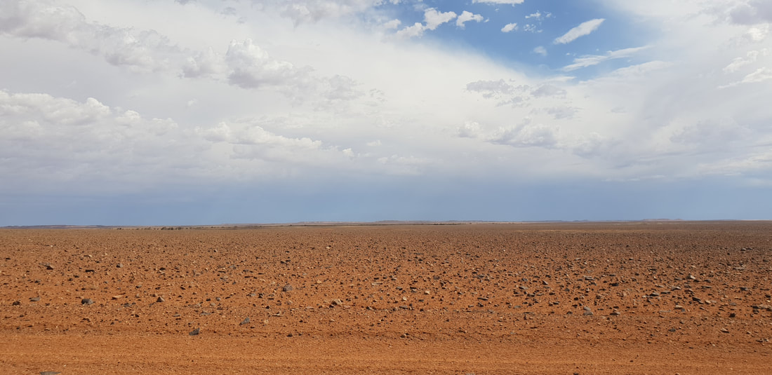 The area known as Moon Plain
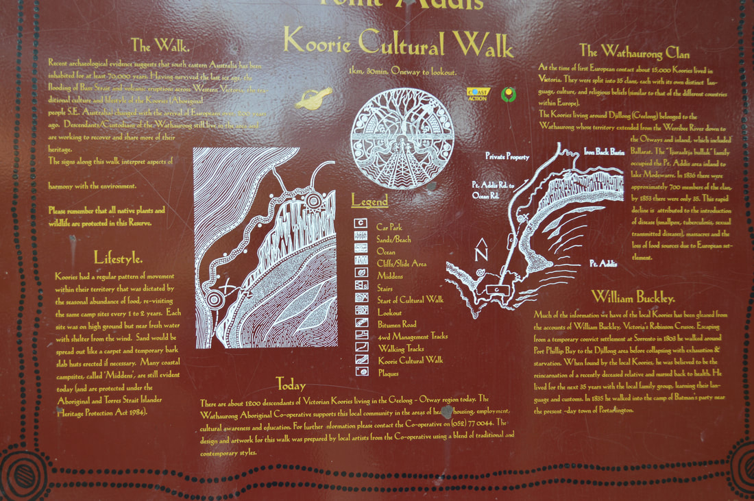
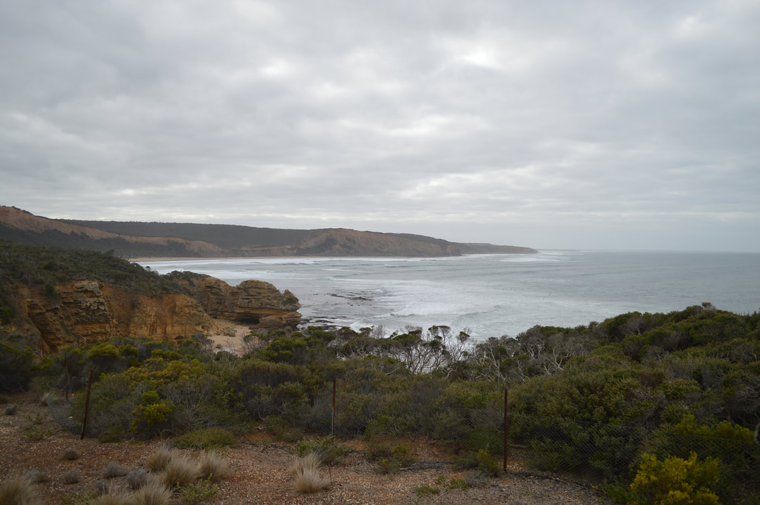
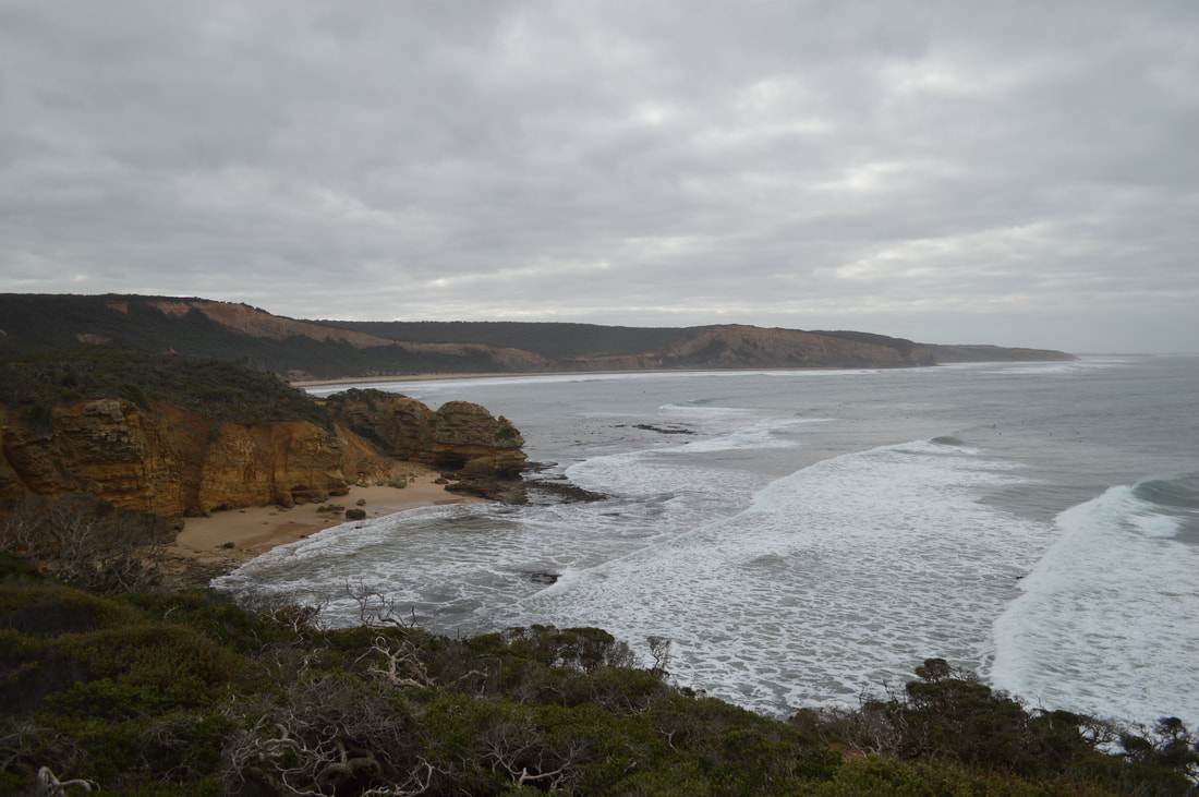
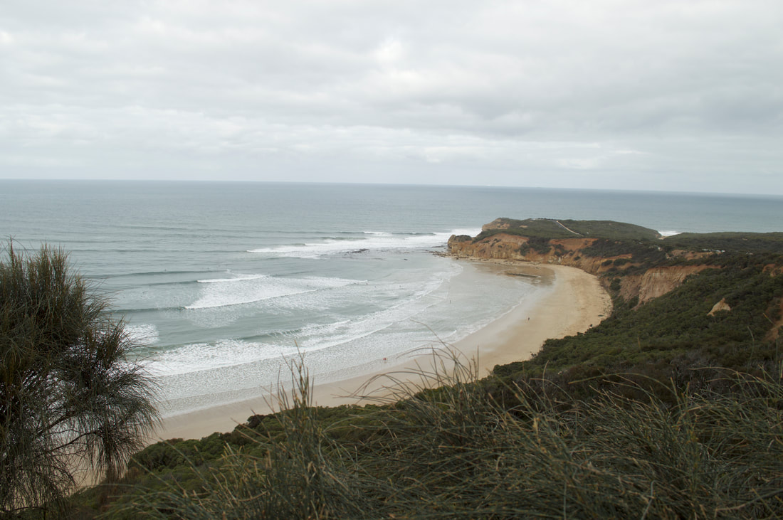
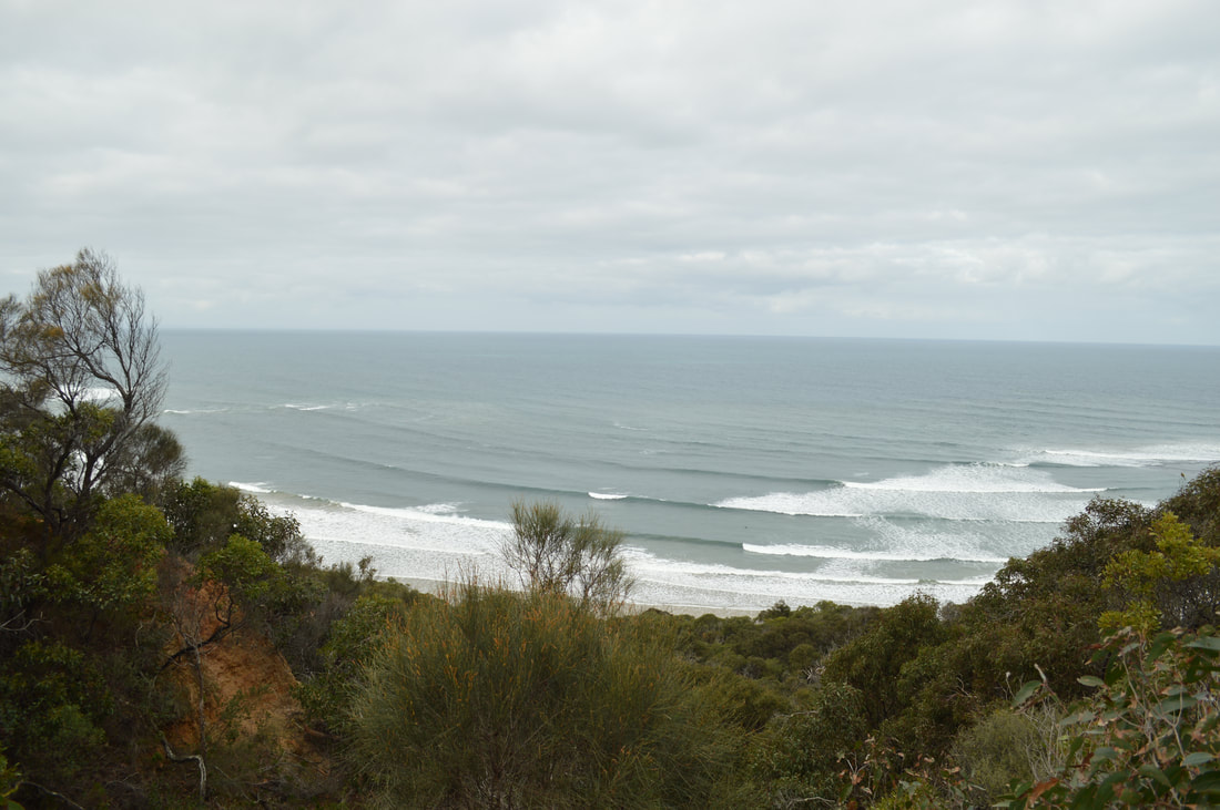
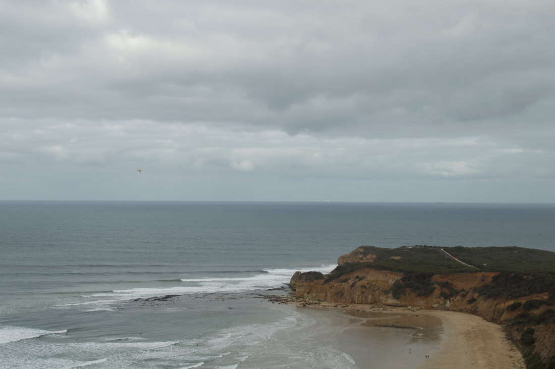
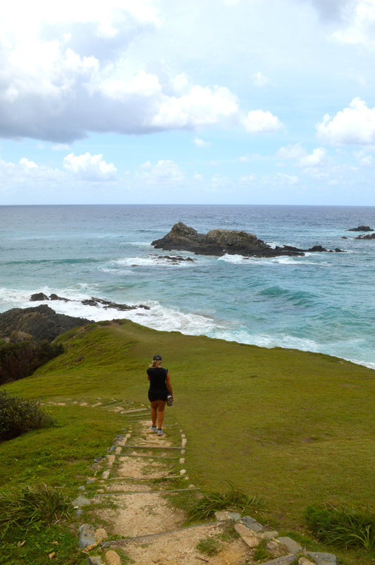
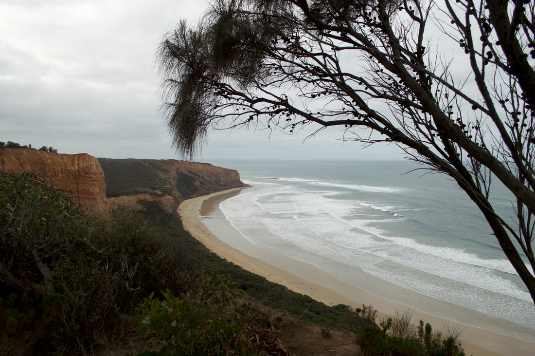 Point Addis is located about 10 kilometres west of Torquay along the SurfCoast, just past the world-famous Bells Beach. Gumby had caught a cold so we opted for a small adventure today, a few kilometre return walk to the Point Addis lookout along the Koorie Cultural Trail.
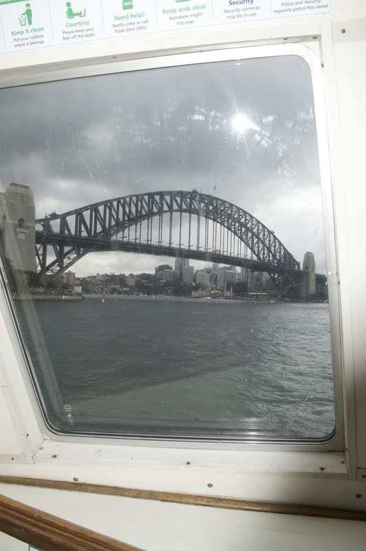
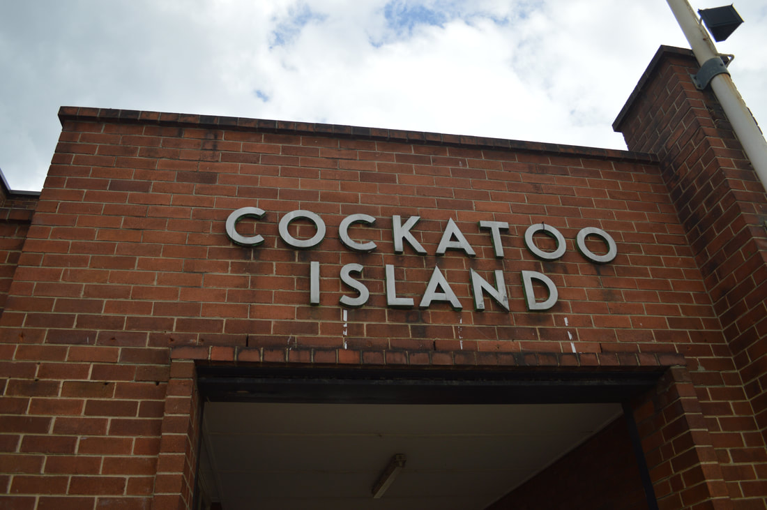
 Prior to European settlement, the local indigenous Eora peoples were said to have used the island that was at that stage densely vegetated, which they called, Wareamah, and that we now know as Cockatoo Island for hunting and fishing. In 2000 Aboriginal activists occupied the island for a period of four months, whilst a claim for Native Title was assessed. During the occupation the group painted murals that are still partially evident today. In 2001 the High Court ruled against the claim. No evidence of past Indigenous habitation has ever been discovered on the Island. We're On a Boat...
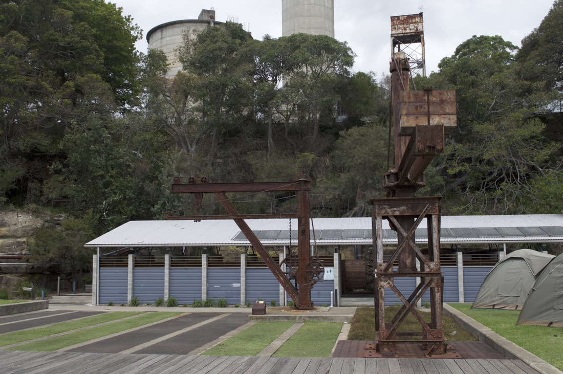
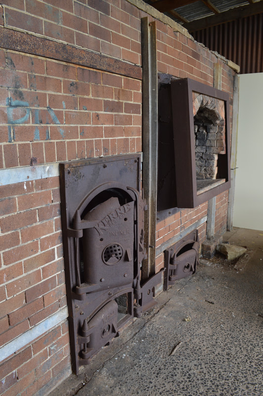
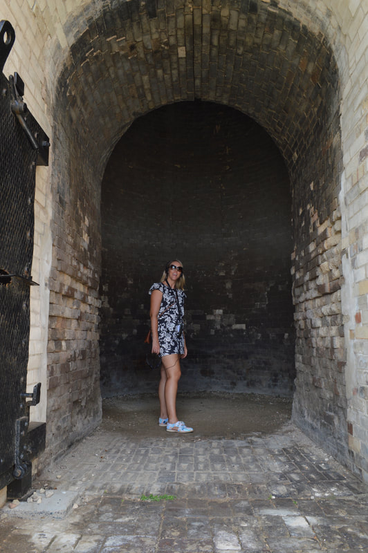
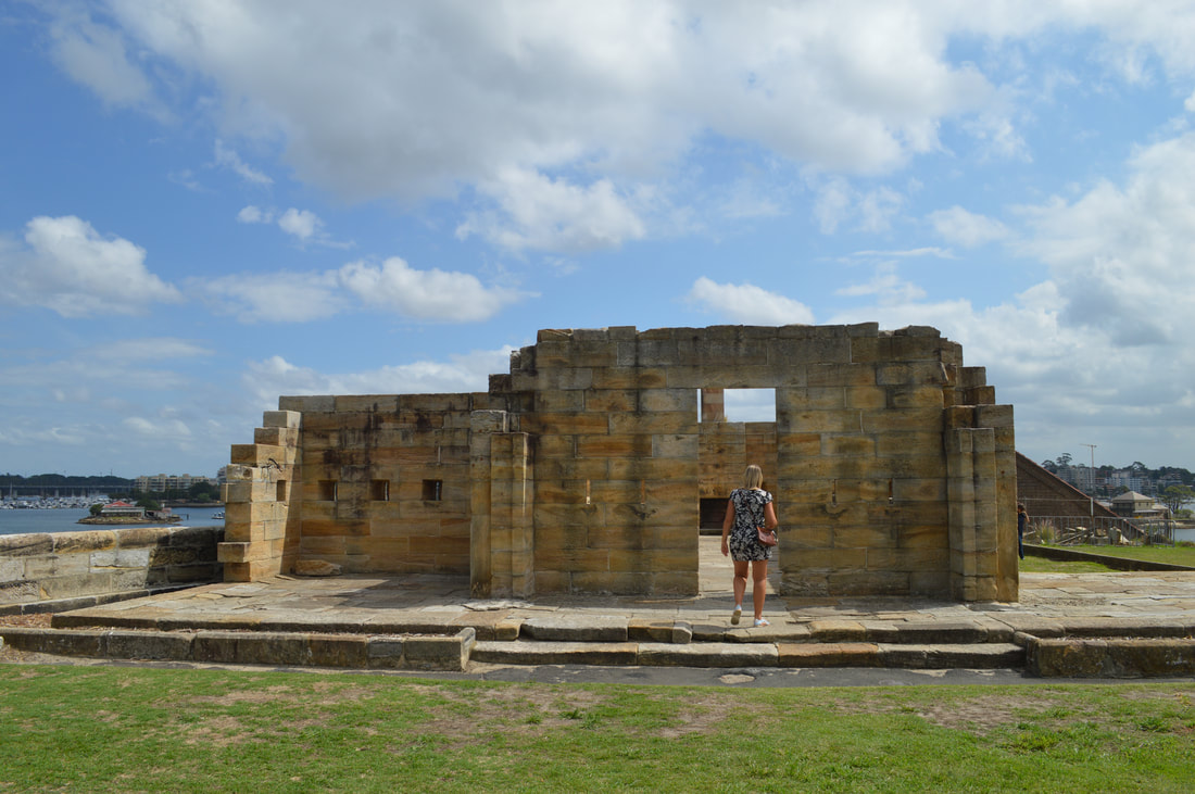
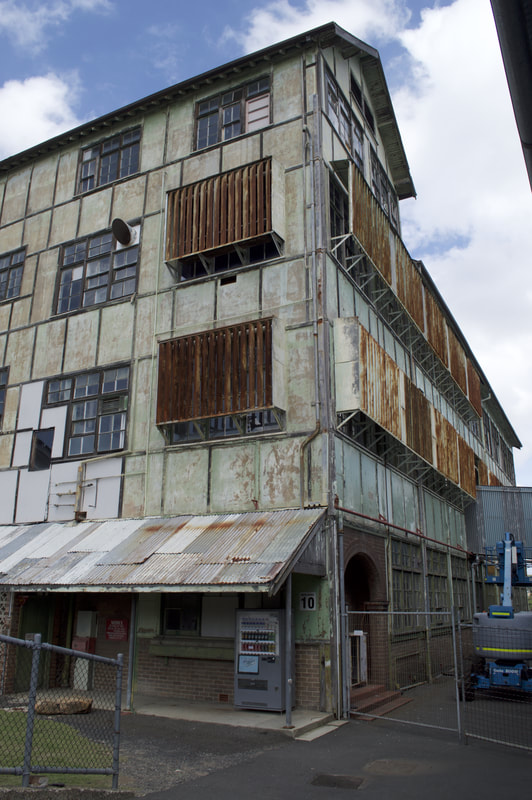
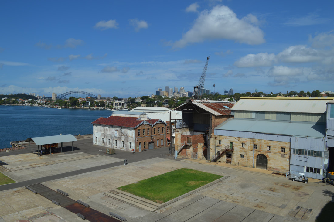
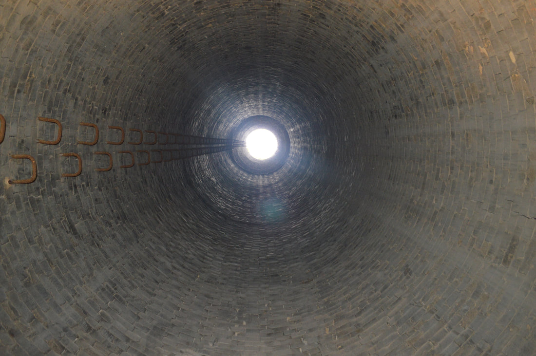
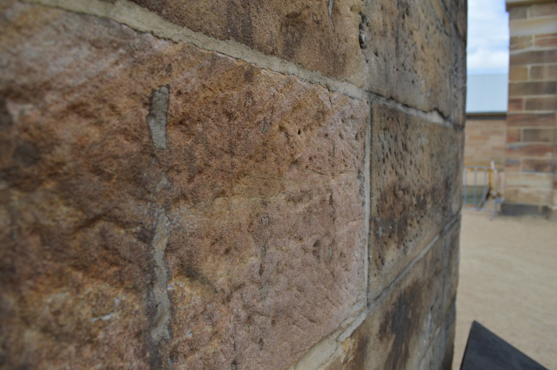
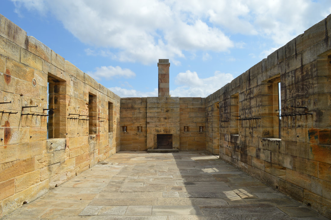
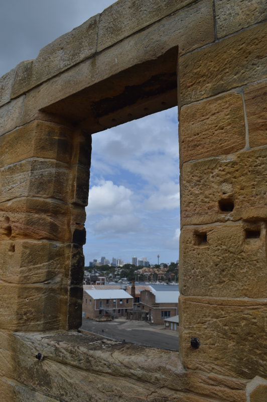
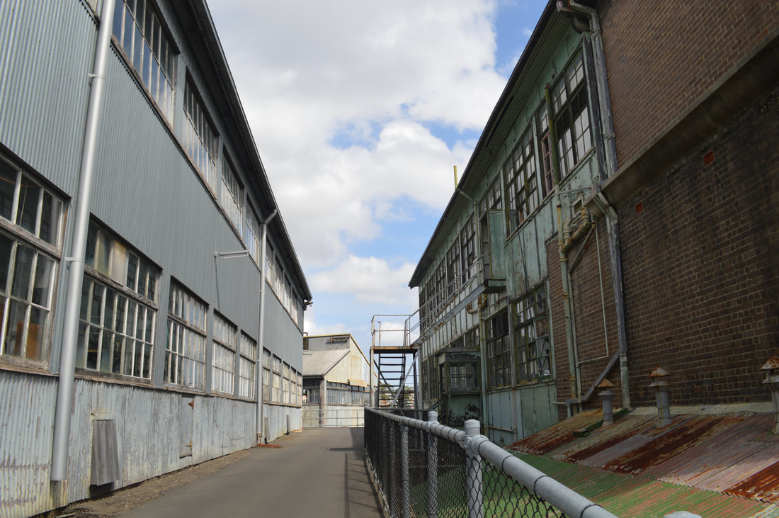
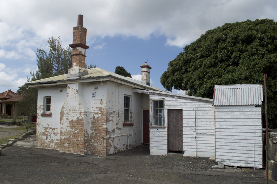
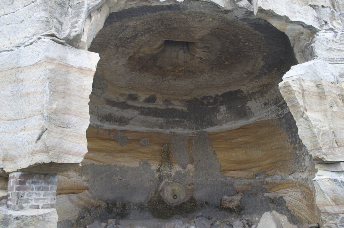
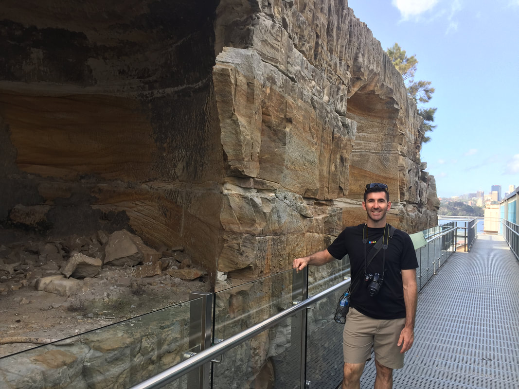
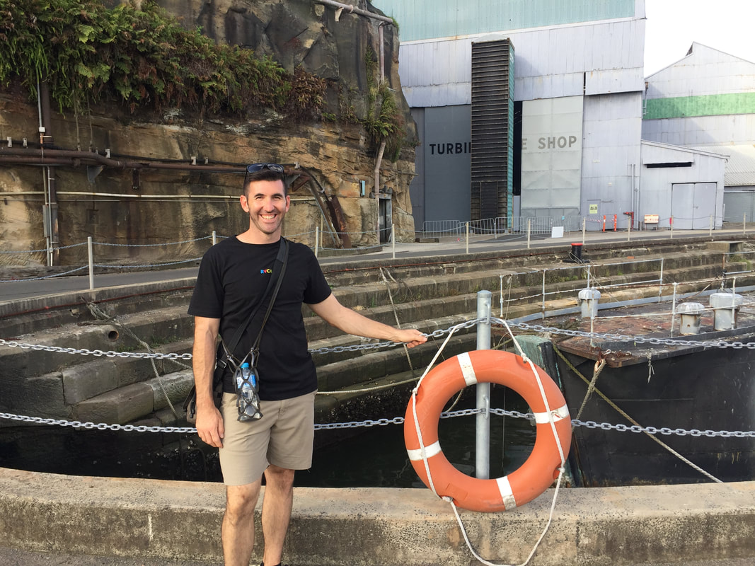
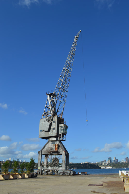
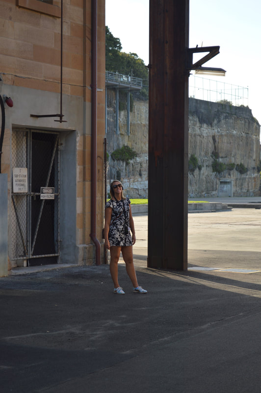
Drenched in built artefact this multifaceted island has been the foundation for many fascinating stories that have played out in Sydney's rich history. After European settlement the island was first used as a penal colony by Governor George Gipps for secondary offenders ("the worst of the worst") during the period from 1839 to 1869, who constructed barracks and quarried sandstone. Some of this sandstone it is said cut into blocks was used to construct the seawall of Circular Quay. The convicts by order of Gipps also constructed 20 grain storage silos, each silo painstakingly moulded out of sandstone using only hand tools. It's impressive to see the chisel marks made by the hand tools carved into the solid sandstone. This work would have literally been back breaking. In 1871 the convict precinct was repurposed as the Biloela Reformatory, for girls that had broken the law or that were orphaned. The girls, similarly to the convicts that preceded them were crammed into small sandstone block buildings with little ventilation or sunlight, the conditions, in particular the smell, must have been horrendous. Biloela is an Indigenous word for Black Cockatoo. These sandstone convict quarters are now World Heritage Listed buildings under UNESCO.
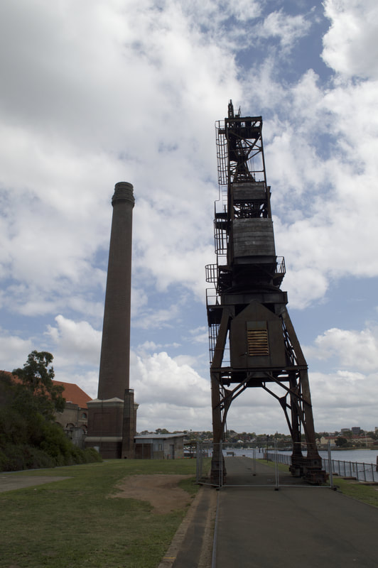
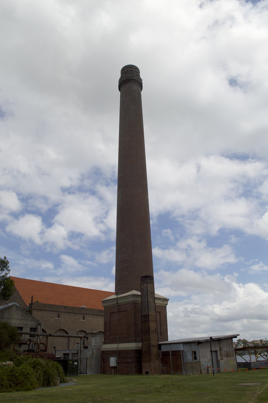
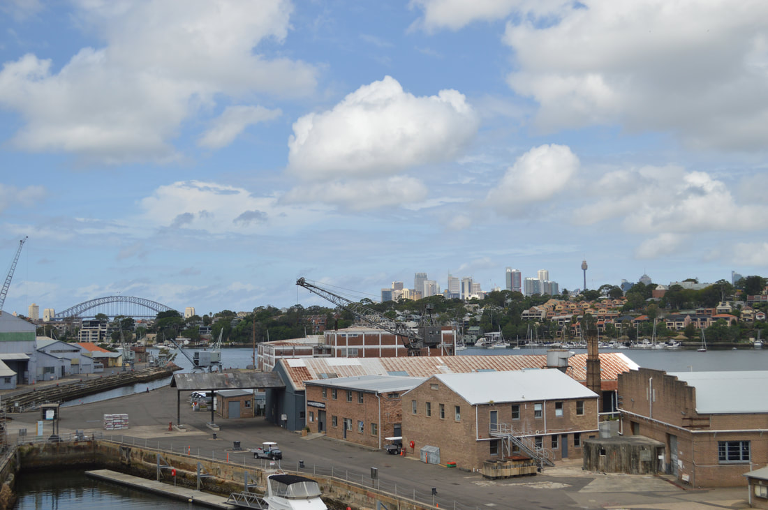
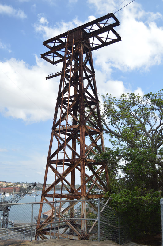
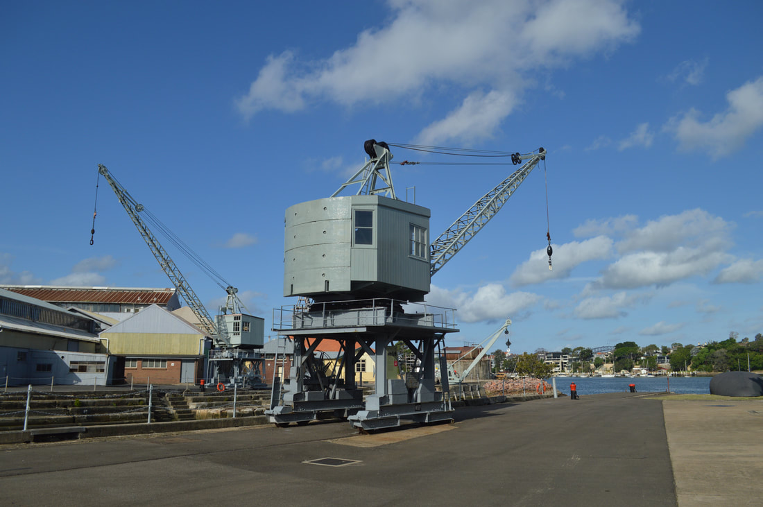
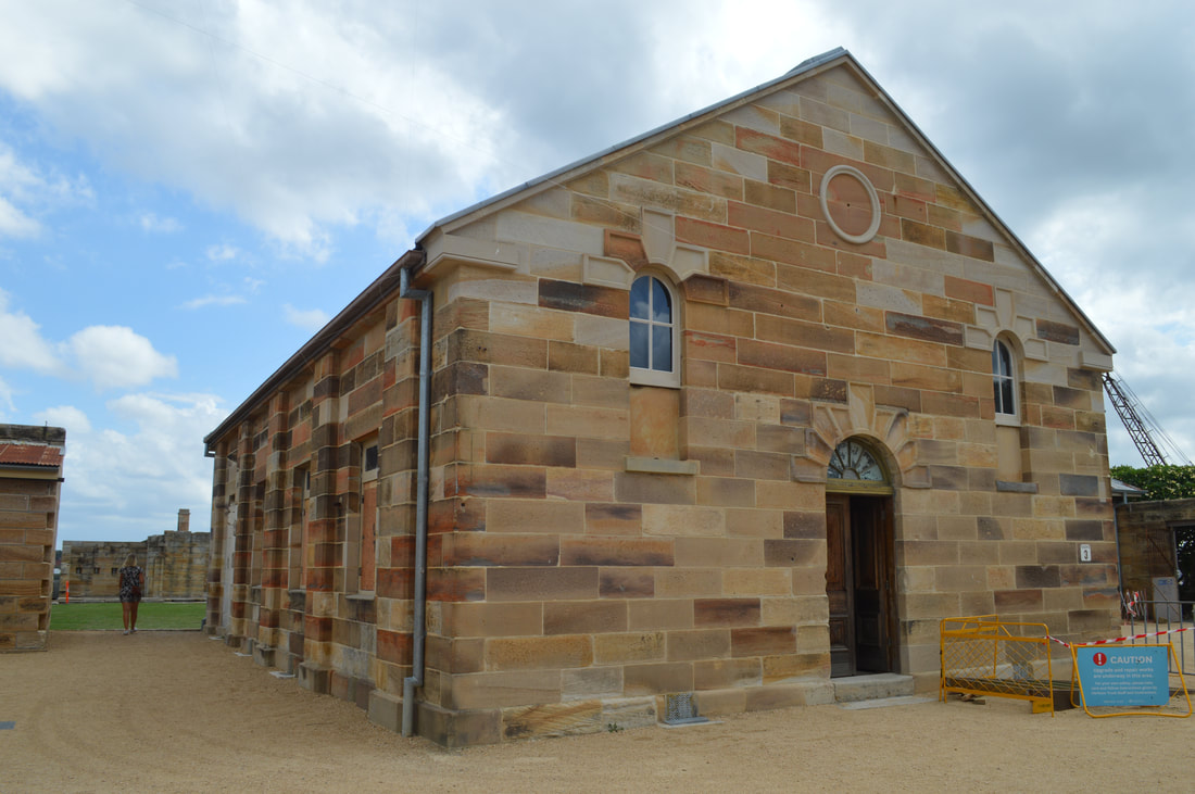
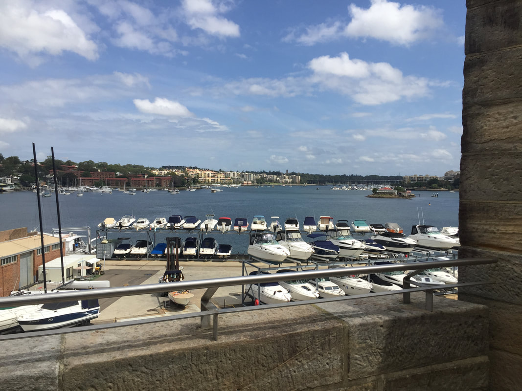
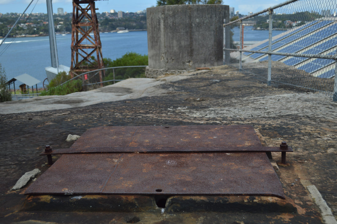
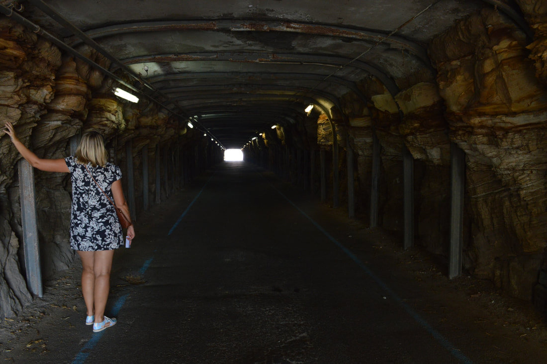
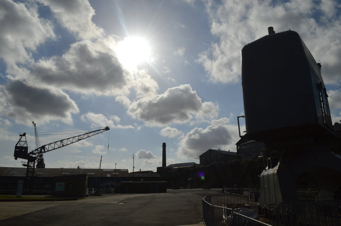
Despite life as penal colony and a reform school for girls, Cockatoo Island has also played a major part in Australia's maritime history, as a ship building and ship restoration port. Beginning as far back as 1847, life as a notable ship yard continued right up until 1990 when industrial sized projects were ceased due to the high cost involved transporting materials and labour to and from the island. At one point it is said at least 23 different unions operated on the Cockatoo Island Docks, leading to many unionised demarcation disputes and subsequent industrial action. Due to this intense industrial action taken by the workers, Cockatoo Island was seen as a bench-mark for worker rights. If a work place reform was granted on Cockatoo Island guaranteed it would influence trade conditions on the mainland also. The Island was a forerunner in this regard. 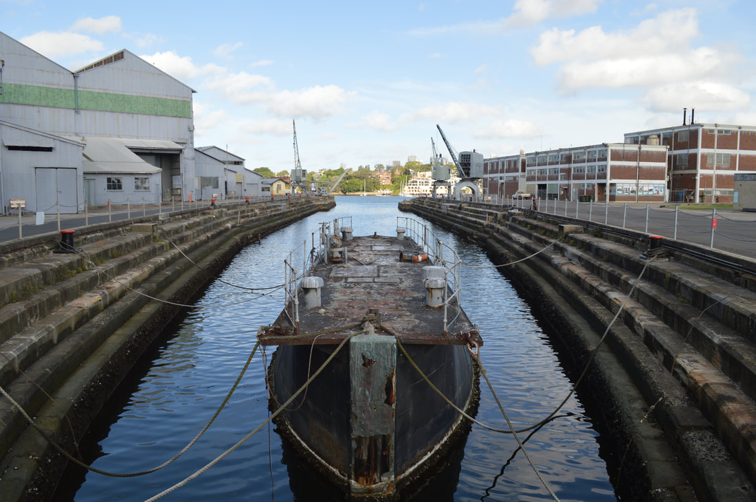 Fitzroy Dock, Australia's First Dry Dock constructed between 1847 and 1857. Construction could have taken less time had the convicts not been wearing iron shackles
Many large vessels were either repaired or in fact built on Cockatoo Island, including the TSMV Empress of Australia, which was the first air-conditioned ship to be built in Australia and the precursor to the Abel Tasman. Launched in 1964 with a build cost of £3.5 million carrying 250 passengers, 91 cars and a number of cargo containers the Empress was bound for Tasmania. The Empress of Australia was replaced in 1984 and went onto sail in various forms under different names until 1992, when, at this time she was named, Royal Pacific, working as a casino cruise liner, was struck by another boat in the Strait of Malacca, near Singapore and sank in a matter of minutes. Sadly nine people lost their lives. But not a bad innings for the formerly know as TSMV Empress of Australia built at Cockatoo Island.
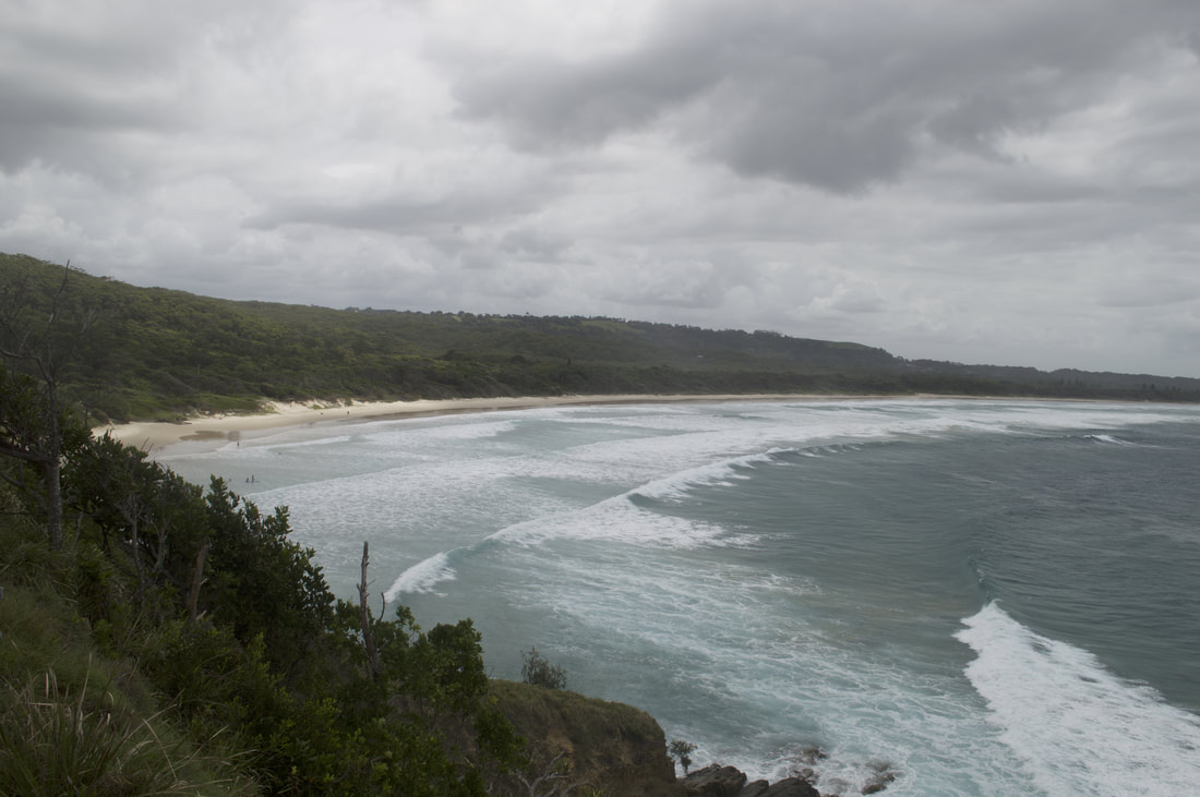
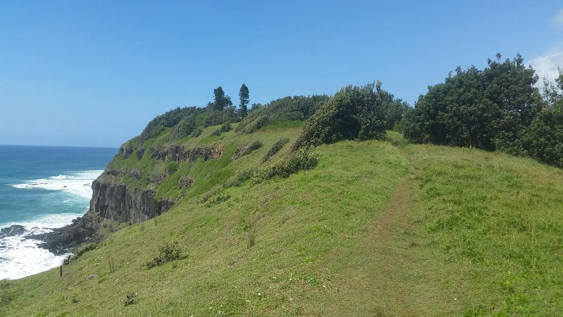
 In Indigenous Bundjalung mythology the story of the Three Sisters is told to children to warn them of the dangers of swimming near rocks. It is said one of the sisters became caught in the strong current, the other sisters ventured in to save her, but they all drowned and were turned into the rocks we now see at the heads.
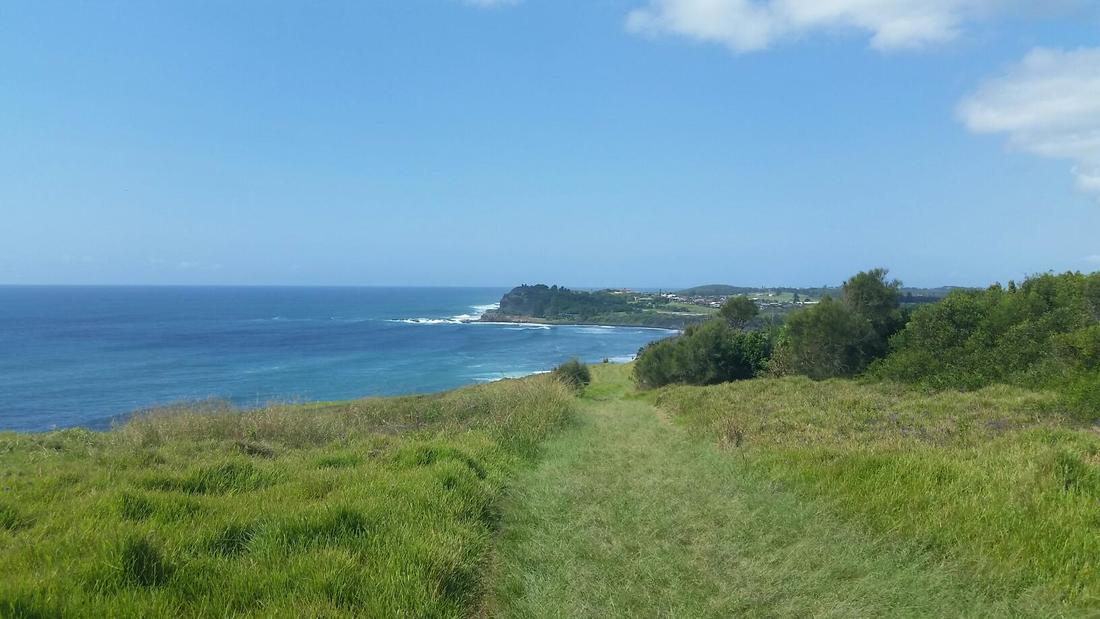
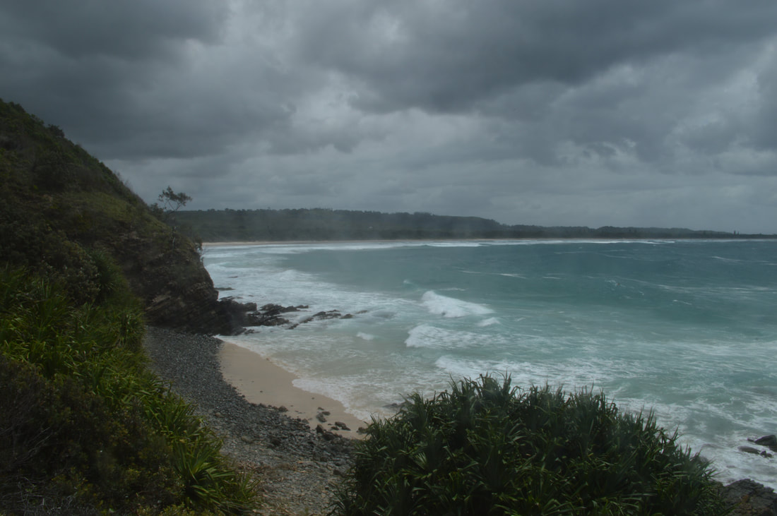 Looking back to Broken Head, Suffolk Park and Byron Bay  Looking towards Kings Beach Although occasionally possible at low tide it is still quite difficult to access Kings Beach from the Three Sisters walking track so we venture around the alternate route through the paperbark forest down a heap of steps to this secluded white sandy beach. An enjoyable chat with a long-time local gave us a fascinating insight into the changing culture of Byron Bay and of his life in the region. Administered now primarily by the 'Greens' disappointingly improvements to infrastructure have all-but ceased with the poor quality road conditions a perfect example. He went onto mention the contention surrounding Kings Beach, which is known locally as a 'Gay' beach, much to the disapproval of local indigenous who have fought over the years to have the beach access points closed. Deaths in both the 'for' and 'against' camps resulted in the 'heat' surrounding the topic diminishing and nothing further has been done. We took a walk along the beach, admiring the serenity, but felt way too over dressed in our shorts and t-shirts and way too heterosexual so made a subtle dash for the stairs and left everyone to enjoy naturally, this peaceful parcel of paradise. Needless to say we opted not to take photos at Kings Beach for obvious reasons.
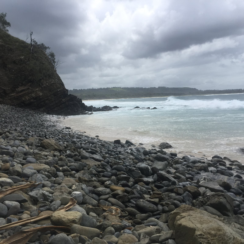
  In local Indigenous Bundjalung mythology, Flat Rock was created by the Dirawong a Goanna spirit. The Goanna and the Rainbow Snake had a fierce battle. The Goanna after giving birth left her eggs at Boulder Beach seemingly out of harms way, the Rainbow Snake however found the eggs and decided to wait for the Goanna to return. The Goanna was nevertheless exhausted after giving birth and fighting the Rainbow Snake that she lay down on the beach. The tide came in and she drowned hence creating Flat Rock. It is said the Rainbow Snake still waits for the Goanna to return and that fishermen are often tossed from their boats by a 'freak wave' caused by the Rainbow Snake at Boulder Beach. 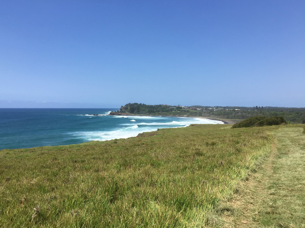
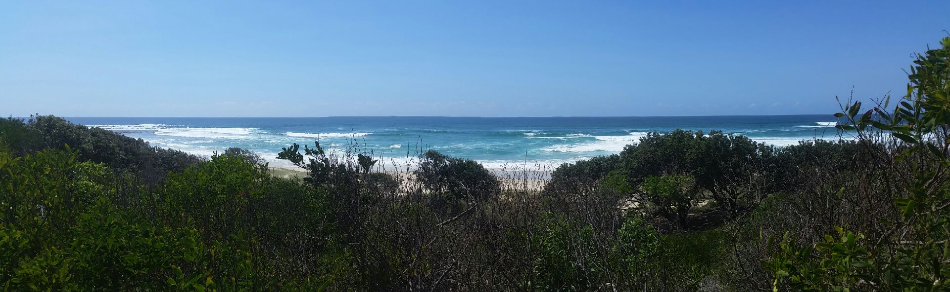
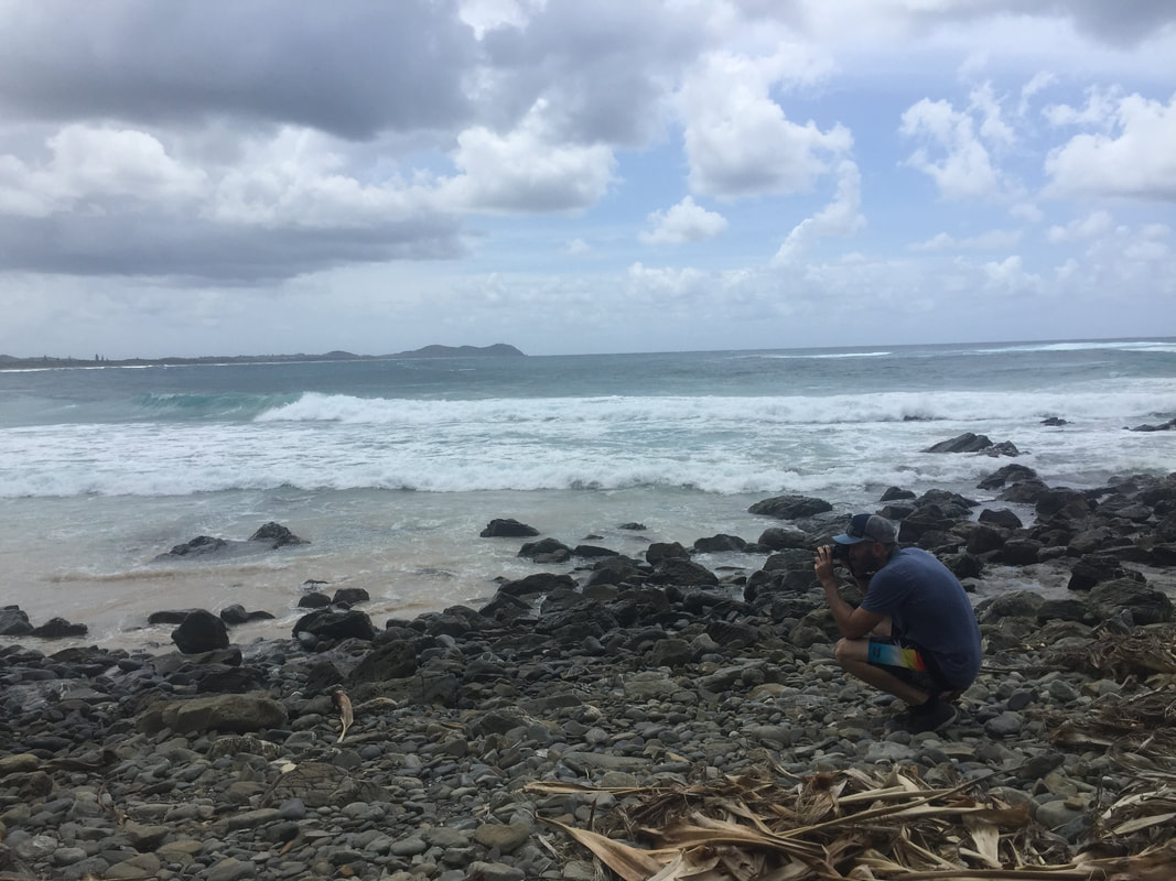
Using our 'Byron Trails' book we decided to jog the track from the Pat Morton Lookout (a great place to watch surfers tackle the notorious break) down to Flat Rock, about 5kms one way. The track traverses grassy headlands along the cliff edge and negotiates pebbly rocks at Boulder Beach before smoothing out onto a paved path that we were told had only recently been completed, much to the praise of locals. It was at times challenging yet stunning to be bathed in glorious sunshine jogging a gorgeous coastline. Shovel smashed the jog finishing it off bounding up the final ascent, back to the lookout, but I decided to end my jog there and slowly walk up the remaining section admiring the views. 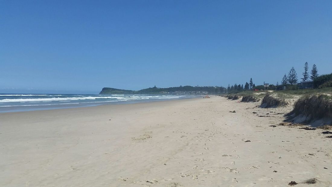  It is said the 'right-hand point-break' at Lennox Head is one of Australia's 'most famous' waves with the 7 kilometre beach being declared a National Surfing Reserve in 2008. A National Surfing Reserve (NSR) is an "iconic place of intrinsic environmental, heritage, sporting and cultural value to a nation." To be demeaned a NSR site the quality and consistency of waves, the sacredness of a site to the surfing community and the environmental management plan are all assessed. At the time of writing there are currently 19 NSR sites around Australia. After our jog Shovel and I with boogie board in hand headed straight for this famous surf. The waves still receding from high tide were ferocious to say the least, living up to the reputation, but we persevered for a few hours and managed to ride a few pearlers back into shore.
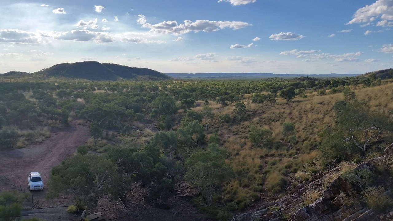
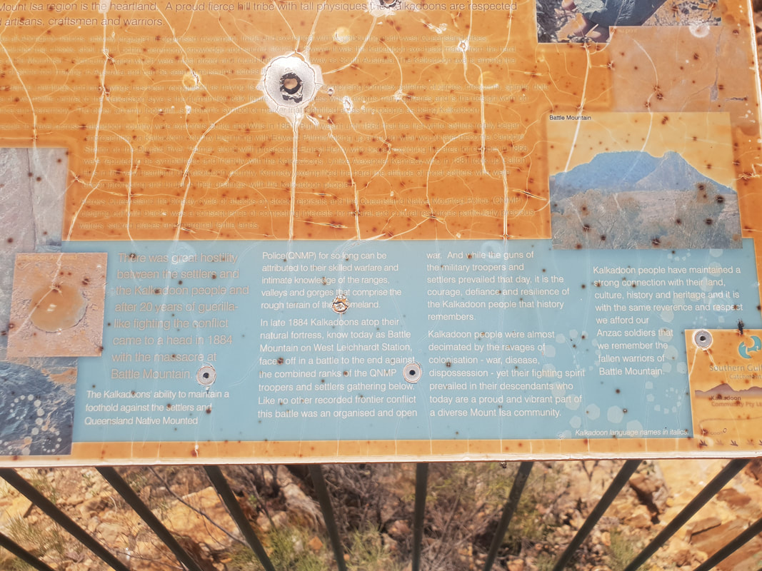
The Iningai people are the traditional owners of the land and this Nature Reserve located only a few kilometres out of town has been created in their honour in an effort to respect the land and showcase the area's natural flora and fauna.
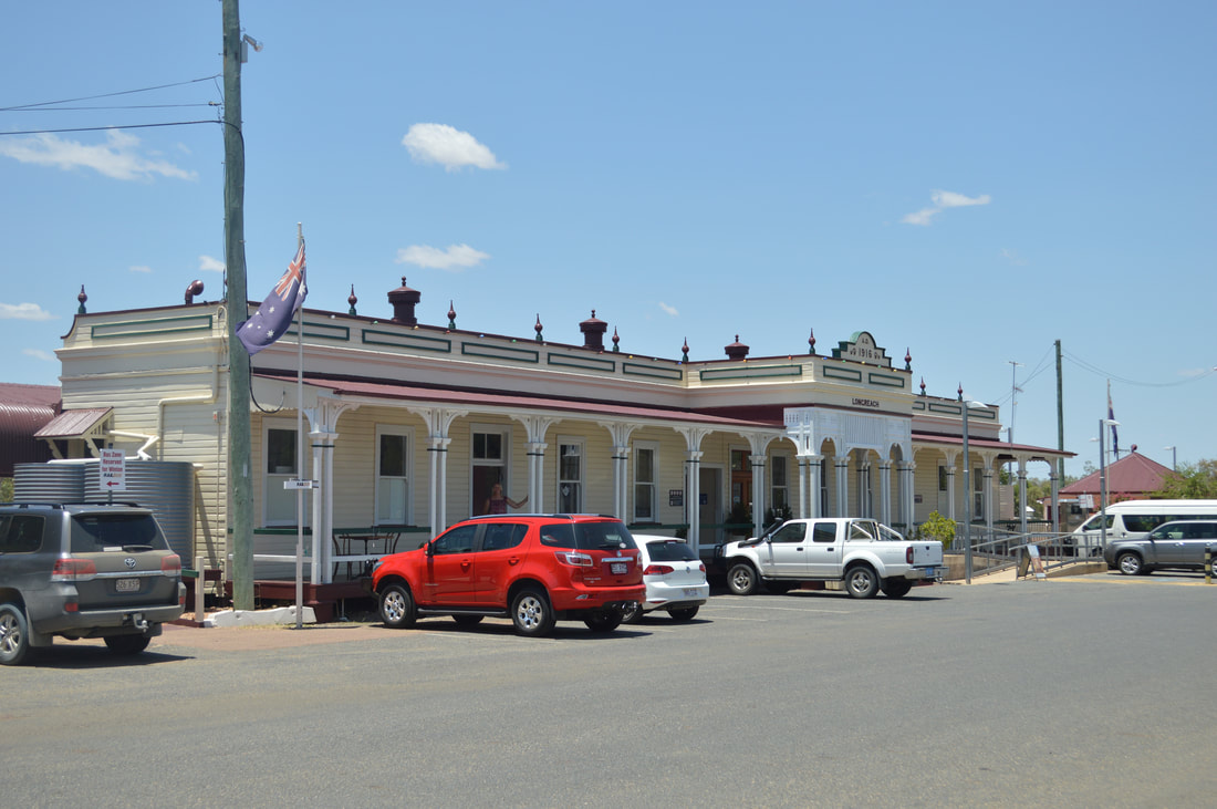
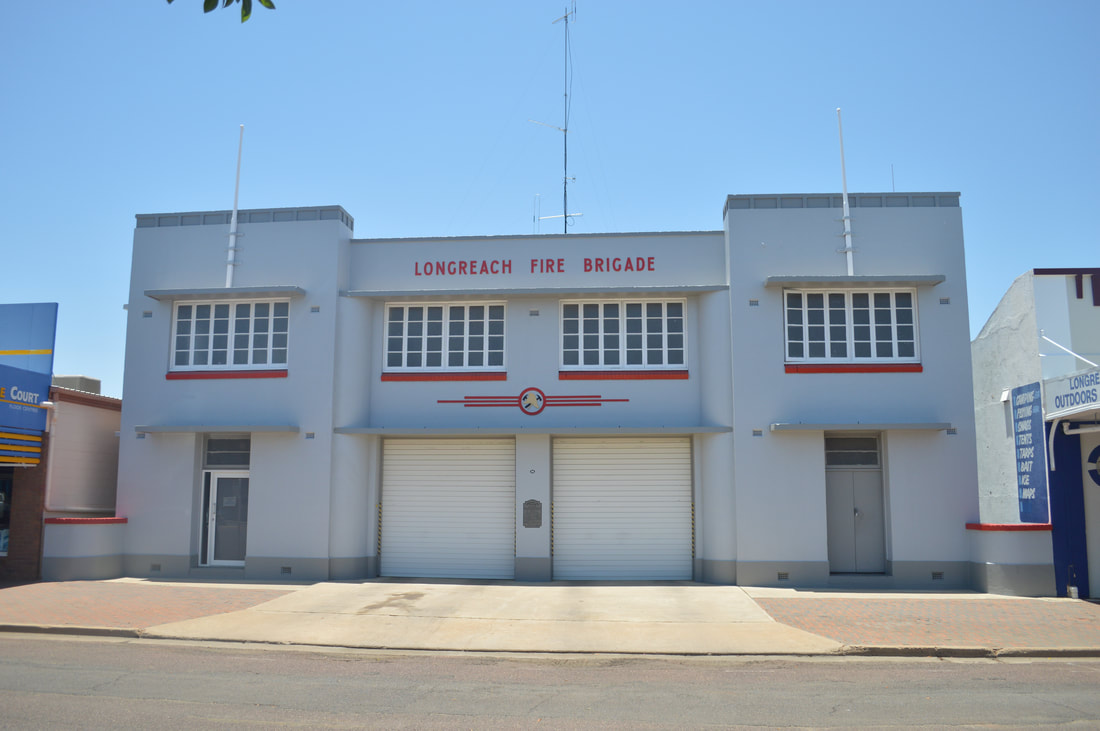
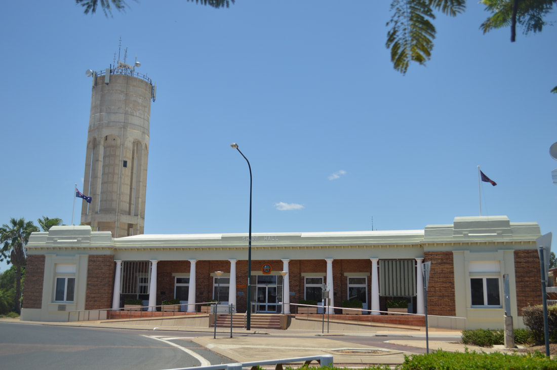
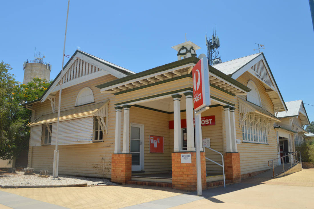
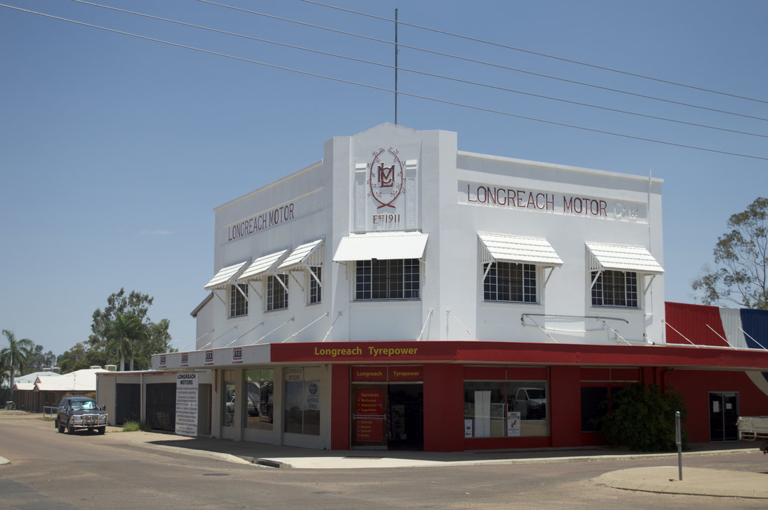
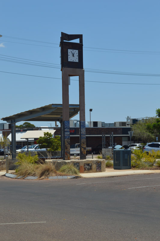
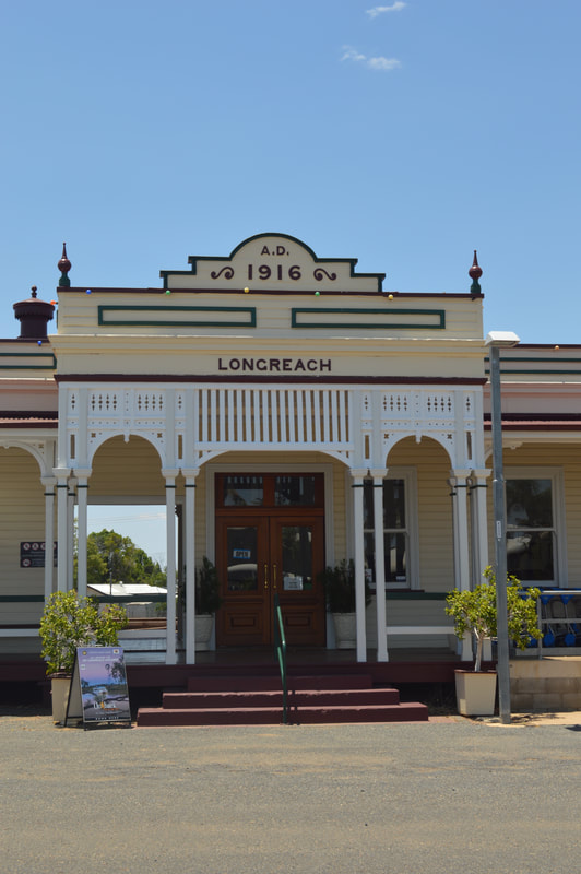
The long reach over the Thomson River is how Longreach received it's name. The river was named in 1847 by explorer Edmund Kennedy in honour of Sir Edward Deas Thomson. We first heard about Edmund Kennedy on a walking track in Mission Beach (Edmund Kennedy Track). The river is a life source in this outback town, situated about 700 kilometres from the east coast as it consistently flows with a slight gradient towards the Lake Eyre Basin in South Australia. Walking through the business centre of Longreach creates a pleasant vibe, its a very relaxed atmosphere. Older original buildings like the water tower, fire department, railway station and the old local car dealership have been well looked after over the years, small businesses along the main street and well manicured gardens give you a sense of pride taken in the town. We explored around the tracks in the Iningai Nature Reserve. The track is fully dirt, with foot holes deep enough to know that it could be a little unforgiving in the wet season. There are several tracks, but the one we took journeyed us alongside riverbeds, coolibah trees and iconically Australian wildlife. Theres nothing more in sync with nature than running on the flat open plains of outback Queensland, it also gives you an appreciation of water too.
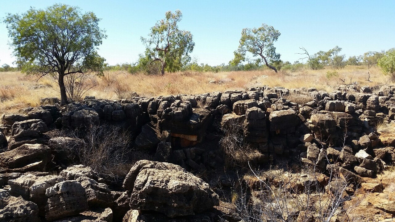
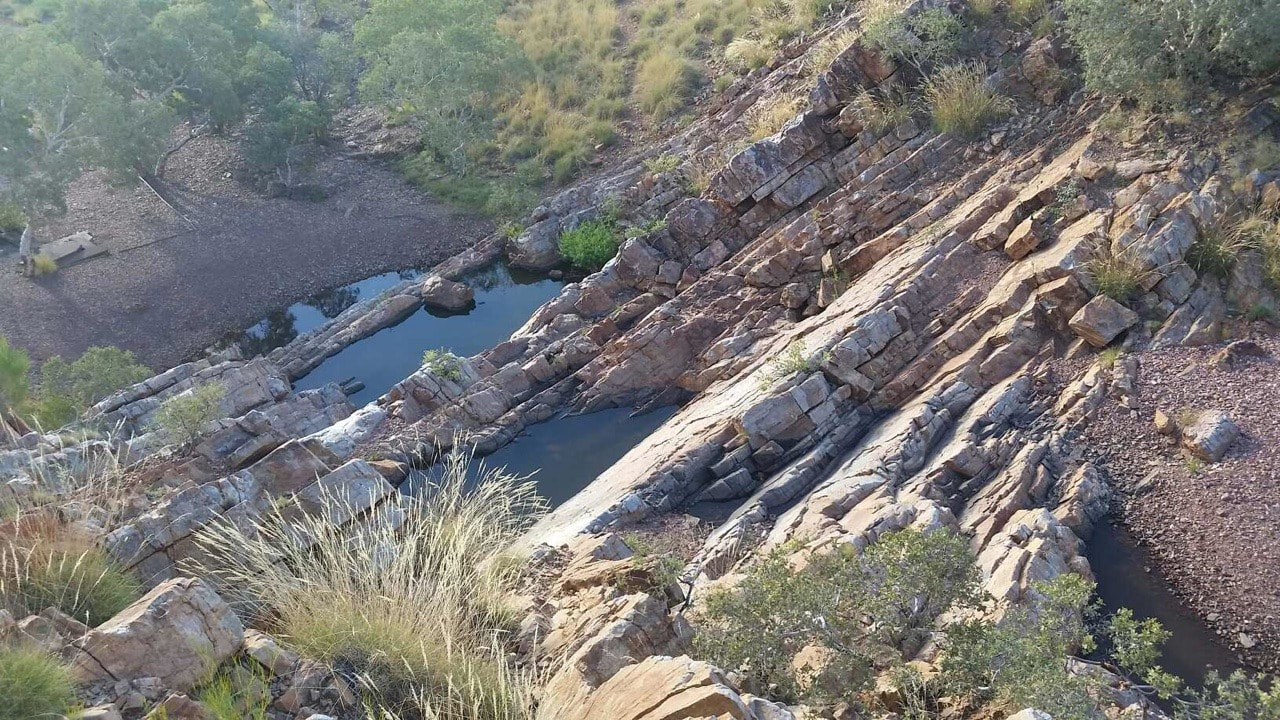
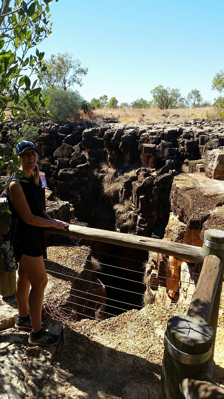
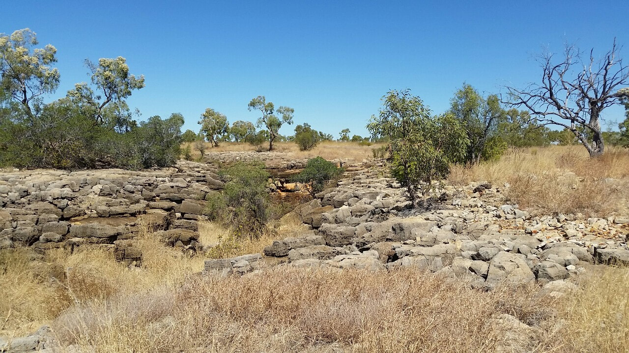
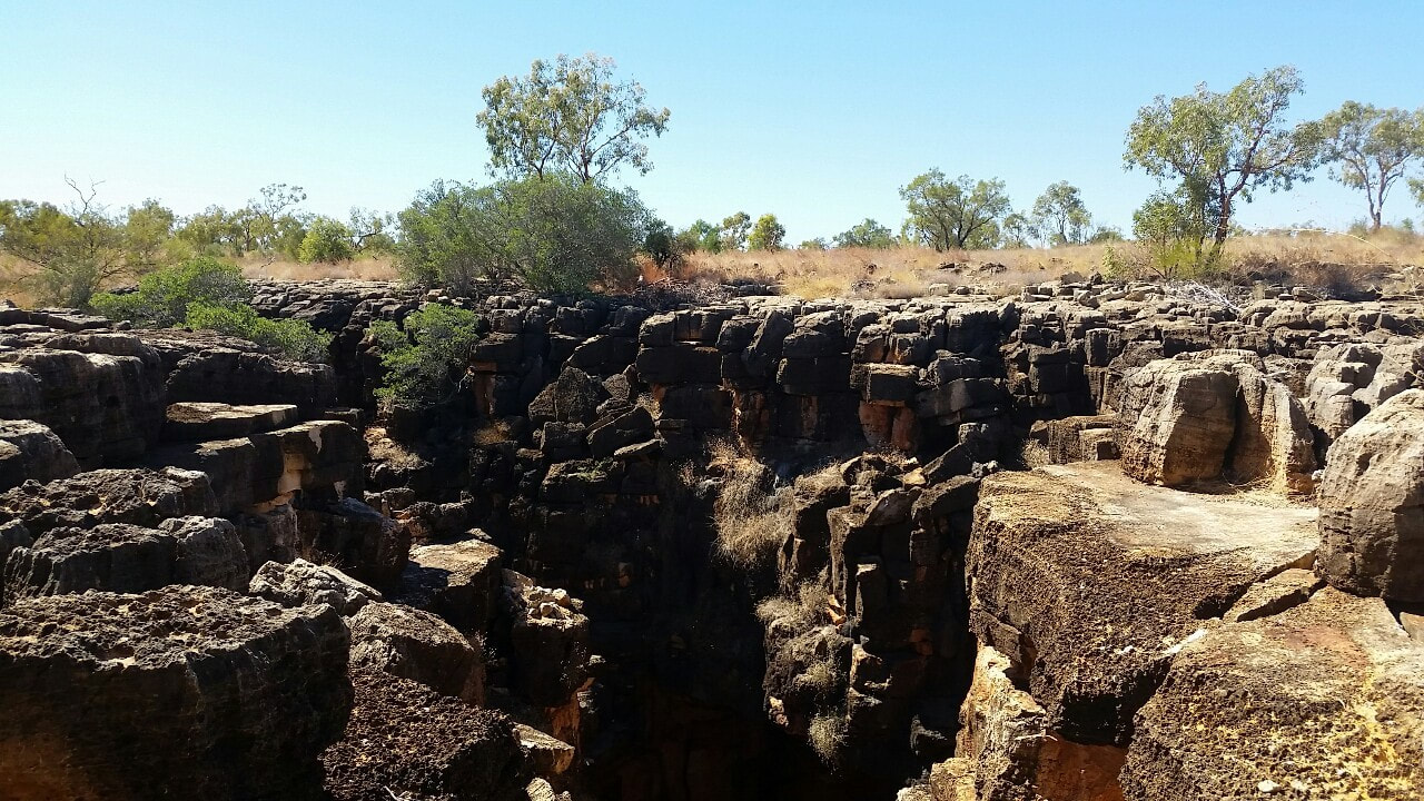 The opening below is 18 metres and every year water flows through the cracks and reshapes the earth with great displays of geological change. The two Caves (Great Nowraine and Little Nowraine sinkhole), connect each other through a water basin 100m below to provide life for pythons, frogs, bats, fungi and invertebrates. A powerful dreaming from the Nowranie Caves heavily respected by the Indjalandji-Dhidhanu people. In the dreamtime, there was a giant ridge tail monitor known as Wiliyan-ngurru who burrowed through the earth to create the caves. The monitor made it home for himself and his future generations. The ridge tail monitors in the area are known as descendants of Wiliyan-ngurru keeping the spirit well and alive in the Nowranie Caves.
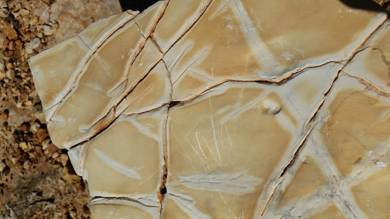
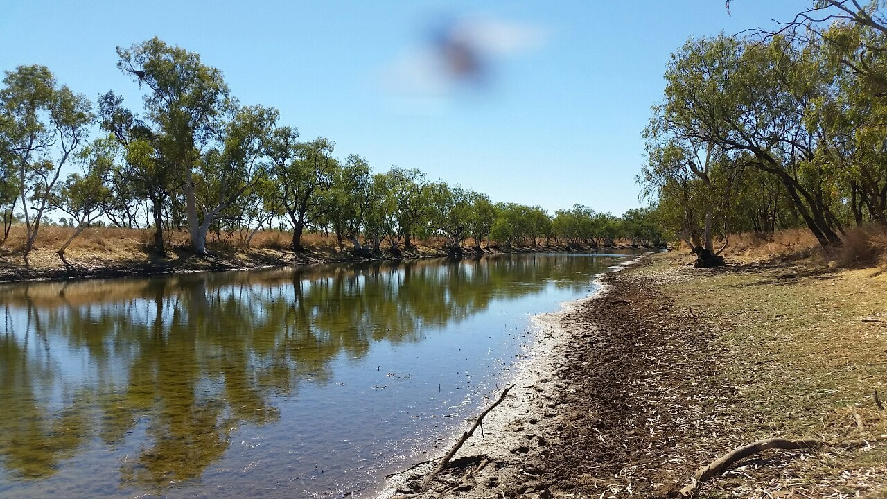
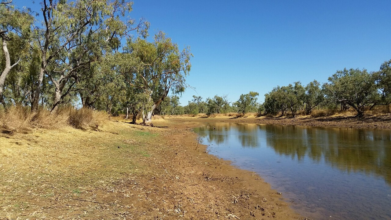
Nowraine waterhole is also another nice place to take in. Throughout most of the year there is good clear water and dense bird life around thriving off the resources. The waterhole eventually feeds into the Georgina River, one of the three major rivers of the Channel Country in Central West Queensland. We were fortunate enough to spot some bits of dolomite around that the Indjalandji-Dhidhanu peoples used as the sharp ends for their hunting spears.
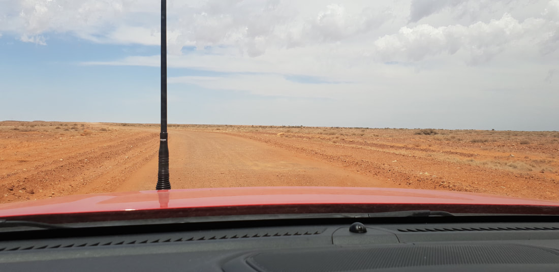
Armed with our tyre floaters we first headed in the direction of Camooweal to find a waterhole one of the blokes at Gumby’s work had spoken of. After venturing through some spectacular spinifex county we gave up on the search, instead returning to The Isa and headed out to Cloncurry instead to find Sun Rock. 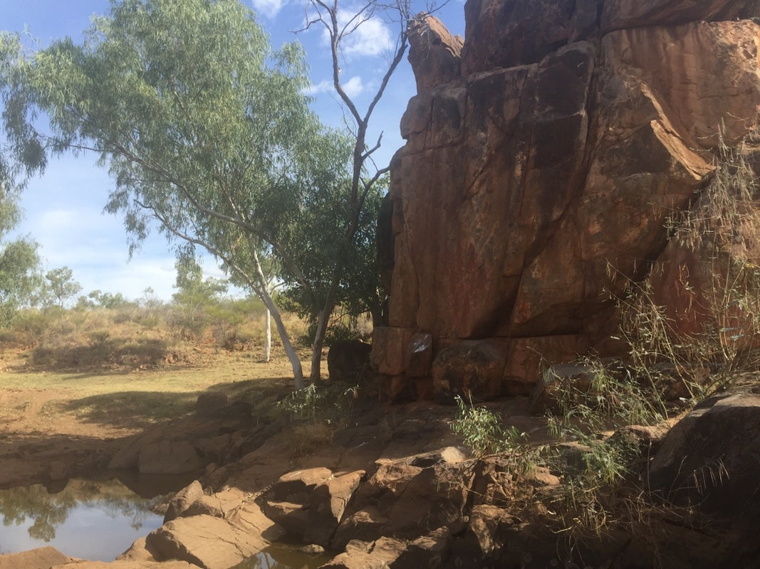
Sun Rock waterhole is located approximately 45kms east of Mount Isa and is a culturally significant site to the local Kalkadoon people. The site is only located a short distance (150mtrs) off the Barkly Highway, but feels worlds away. Given the importance of Sun Rock waterhole the tyres remained dry for this adventure.
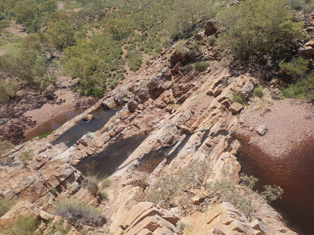
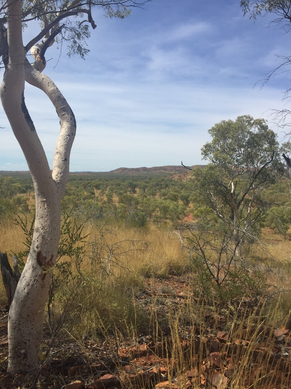
  This area showcases a stunning rock formation of three tiers each cascading into a waterhole. It is said the flow of water over the tiers after heavy rain is spectacular, but the road in becomes too dangerous to cross, so we can only imagine what it would be like. Exploring the other 4x4 tracks close by we discovered another waterhole, and spotted some kangaroos.
|
The JourneyChoose Curiosity The Catalogue
November 2023
The Tags
All
|


 RSS Feed
