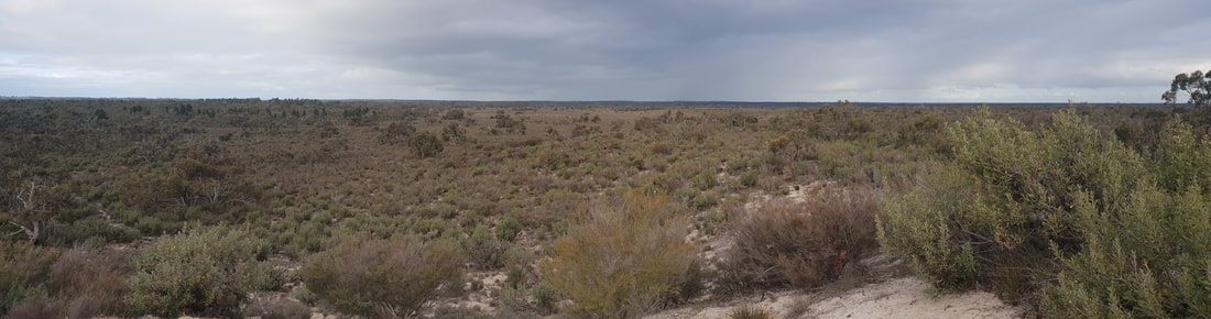
    The detour through Gregory Downs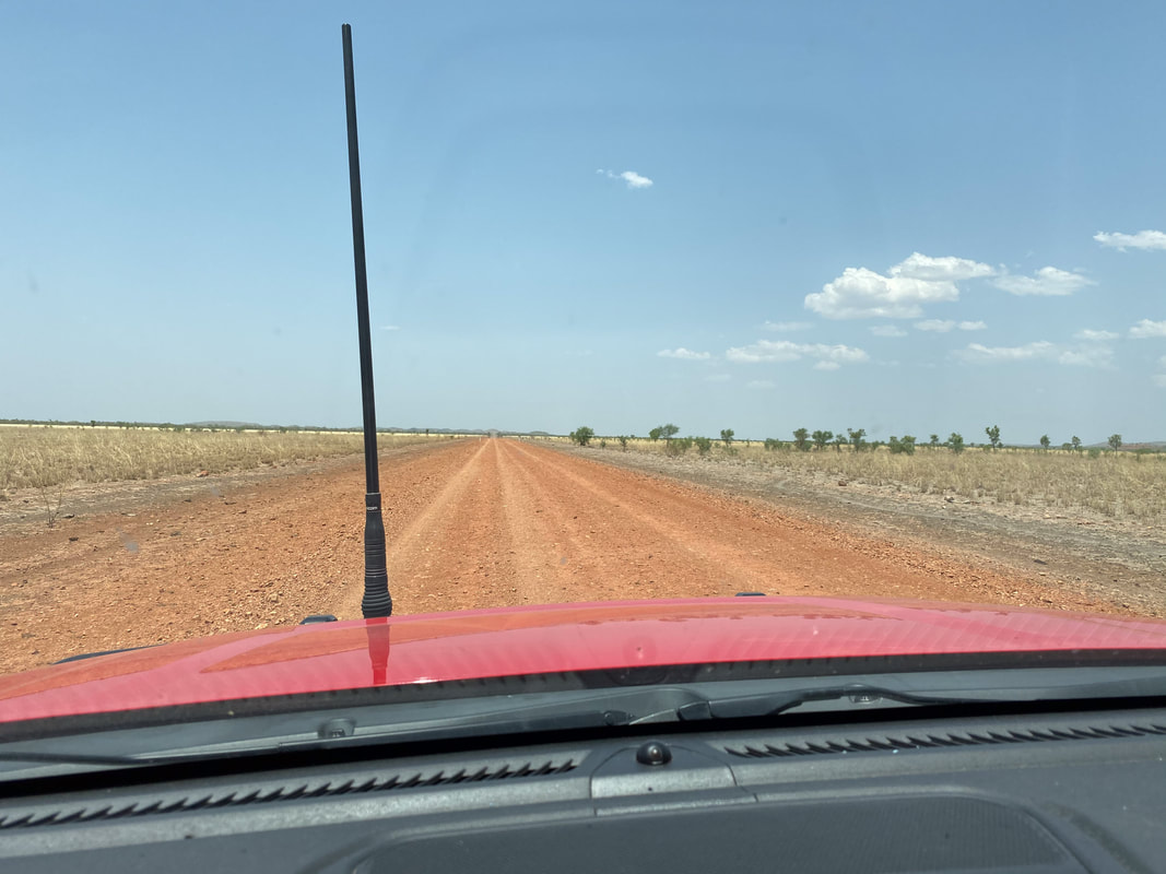
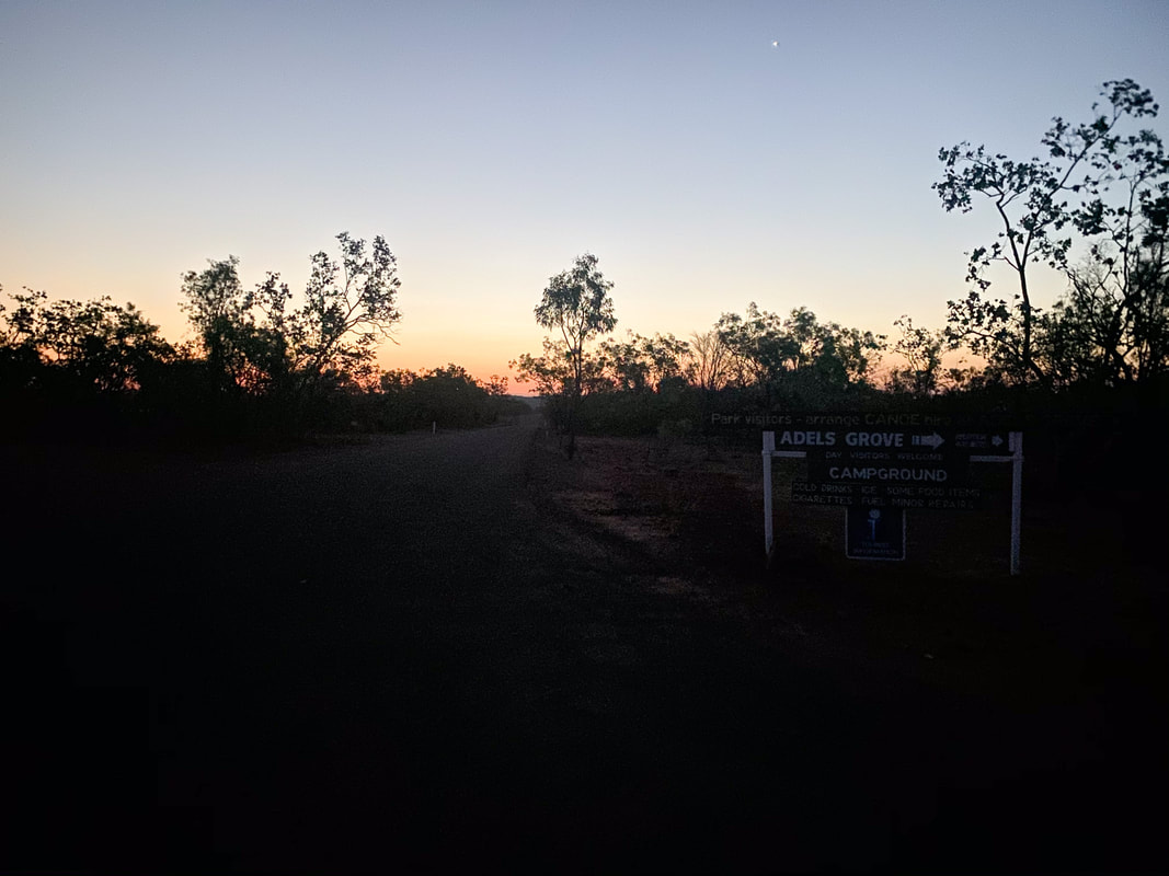
 Adele's GroveFire
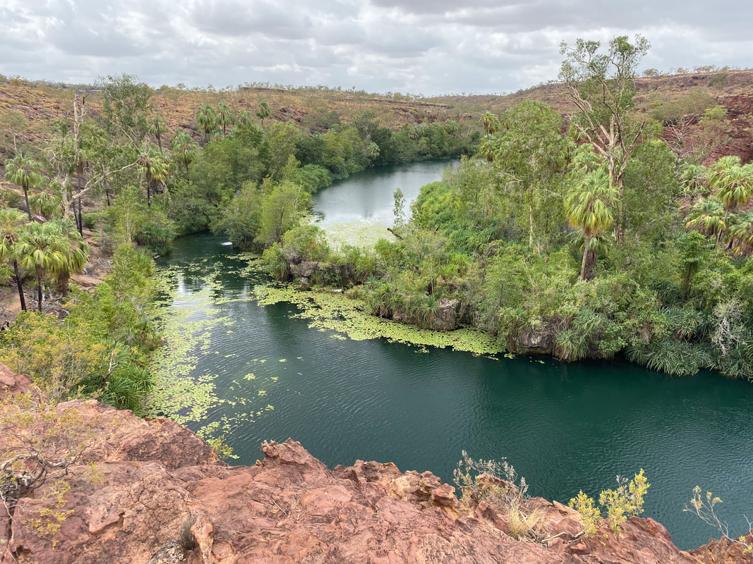
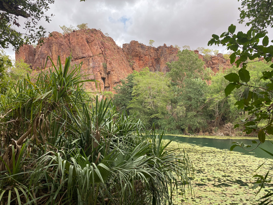
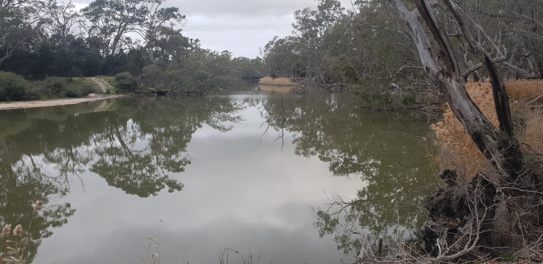
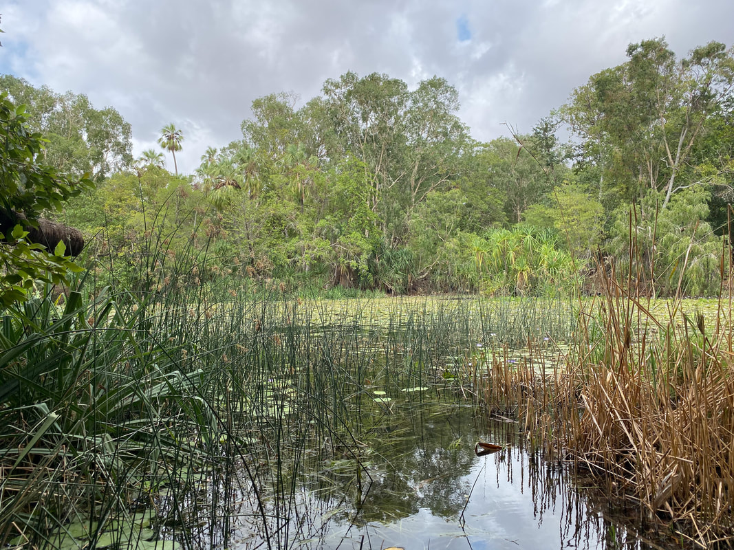
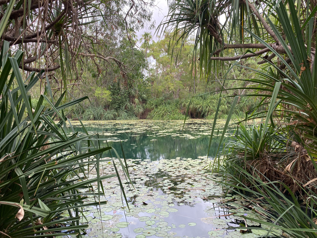
Boodjamulla National Park
  The Return Journey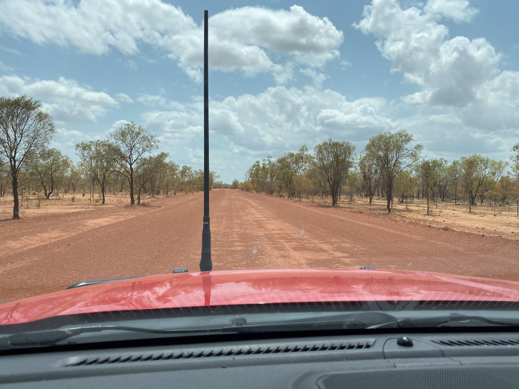
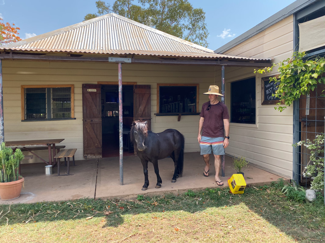
Quamby PubClosed in 2013 and restored in 2023 by two Gold Coast based mates. 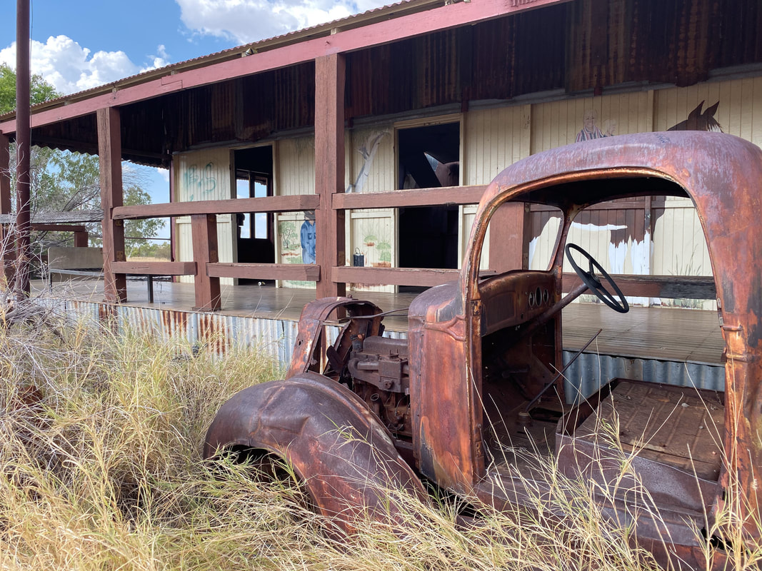
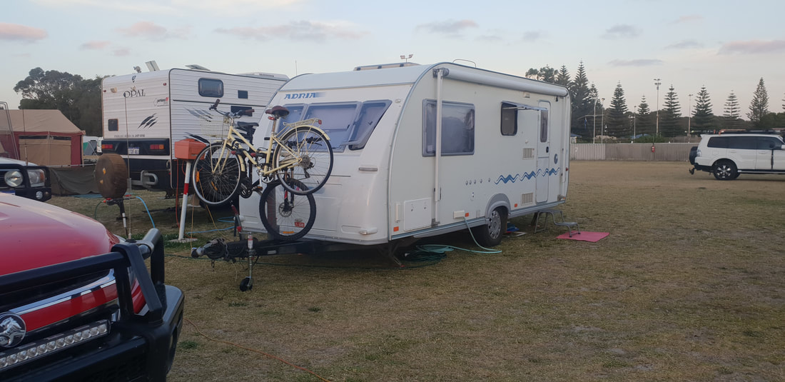
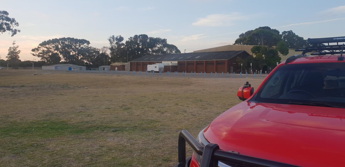
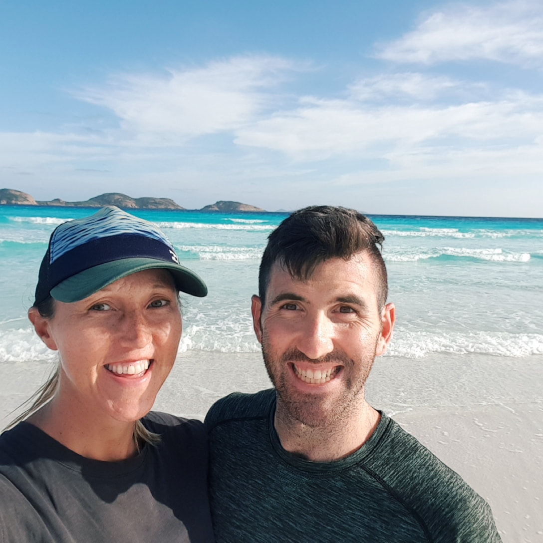
The township of Esperance was absolutely swelling with holiday makers, so we had to opt for a three-night stay in the overflow caravan park at $35 per night located at the show grounds with a communal kitchen and dingy flooded bathroom facilities. Before even making it to the grounds however we had to find Florence a new jockey wheel. Shovel is so amazing improvising and sorting out these kinds of things, then once she was settled in her new home for the next few days, we were off to explore.
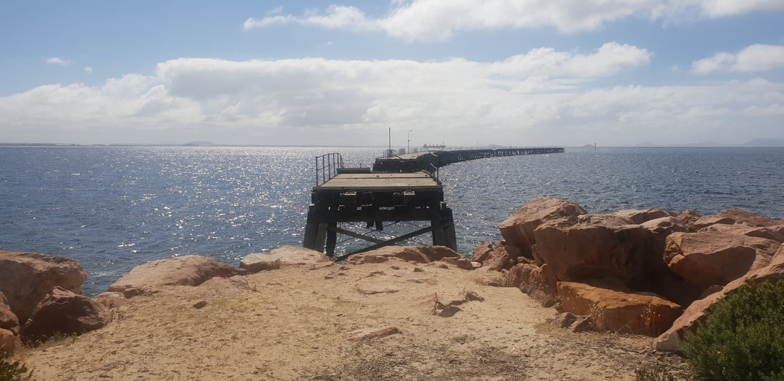
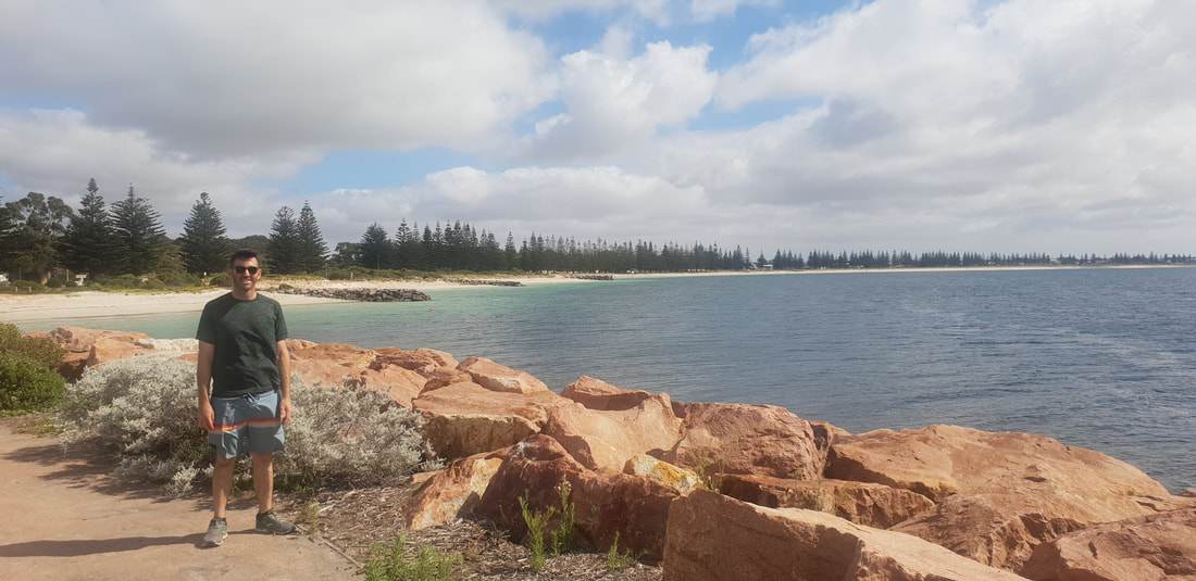
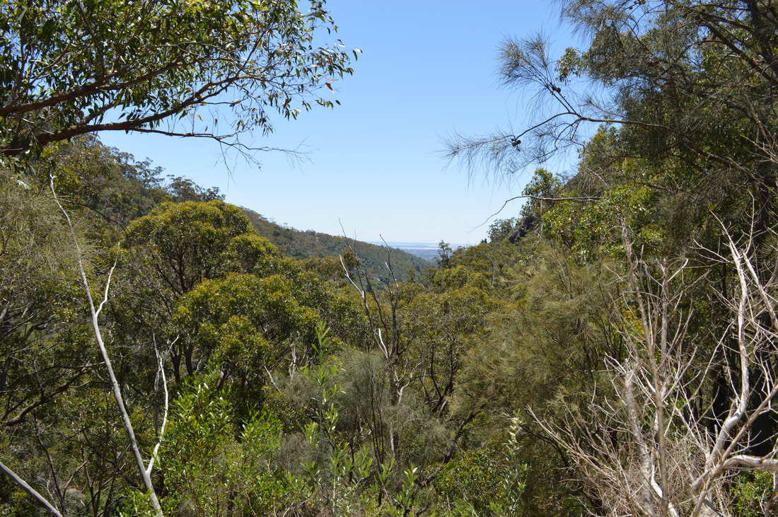
Like that of Kalgoorlie, Esperance, gazetted in 1893 was born out of the 1890’s gold rush and became a jumping off point for prospectors making their way to the Goldfields. Now the town is a jumping off point for tourists seeking the crystal-clear oceanic waters of the Southern Ocean and a sail through the Bay of Isles. In 2018 the town had a population base of approximately 12,000 with tourism, wheat farming and exporting through the port and fishing the main industries of employment. I was fascinated to read in 1979, Stan Thornton aged 17 flew to San Fransico with a few pieces of the space station Skylab for a San Francisco Examiner competition. He collected the $10,000 prize being the first person to present the newspaper with pieces of the Skylab that he had collected from the roof of his Esperance home. Furthermore, the Esperance council at the time fined NASA $400 for littering as fragments of Skylab had to be removed from the town. The fine was never paid by the US Government only being settled in 2009 by radio show listeners of the Highway Radio morning program. Also fascinating to learn was that Esperance was home to Australia’s first electrical wind farm, built at a research facility in 1987, and now boasts several wind turbine facilities that supply the town with electricity. Read more about the internationally famous Skylab incident by pressing the button above. The Esperance Look Out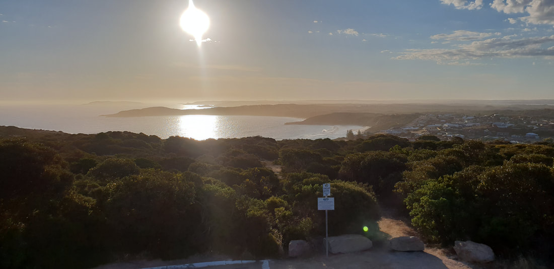 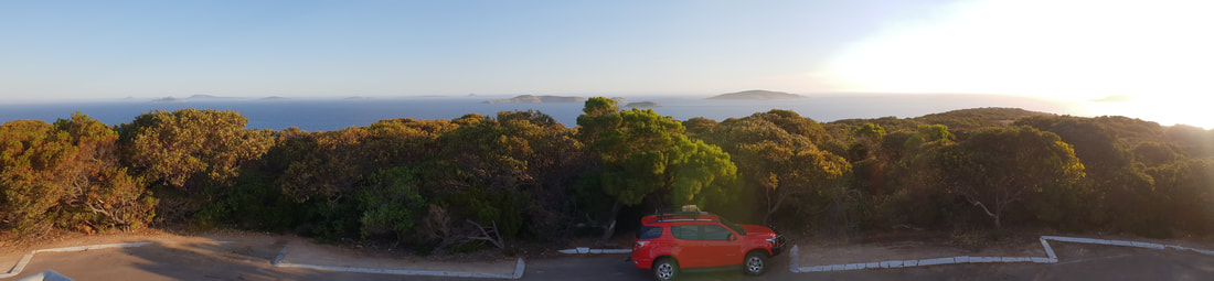 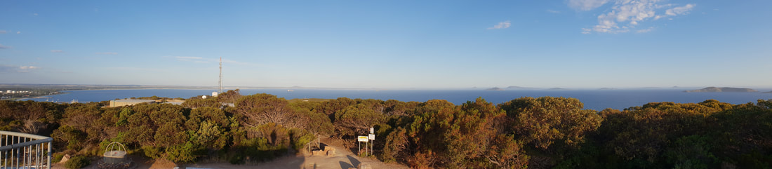 Around Town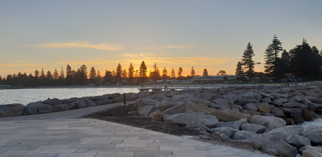
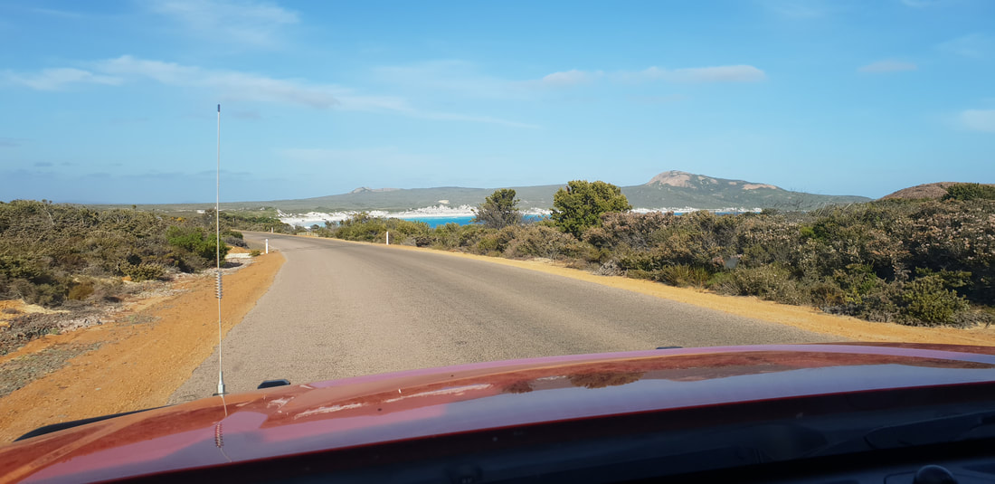
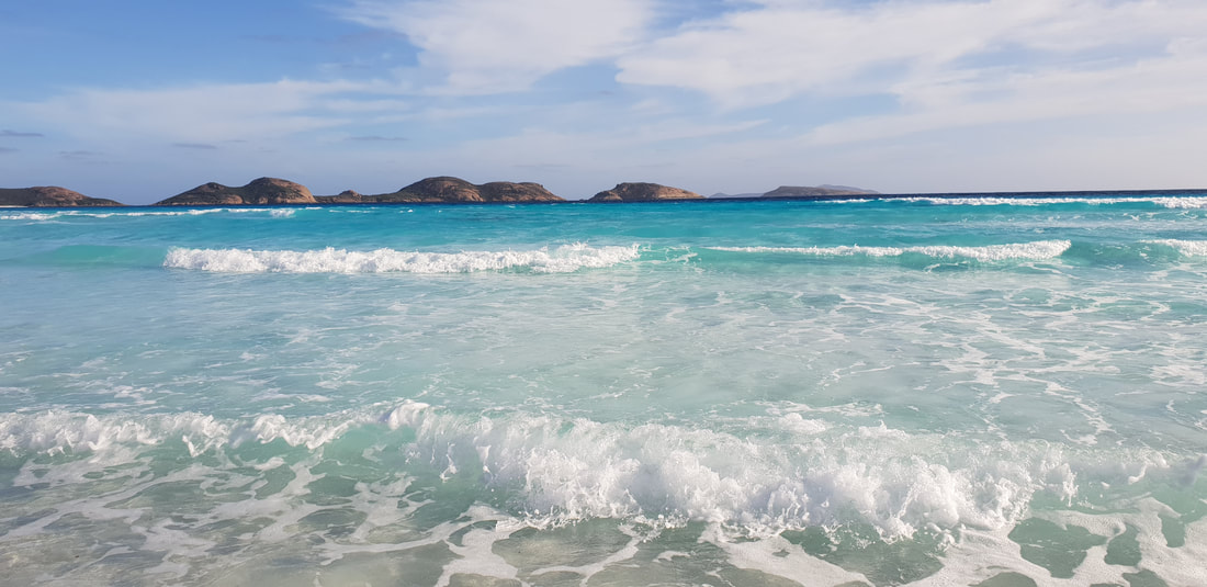
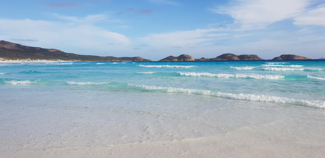
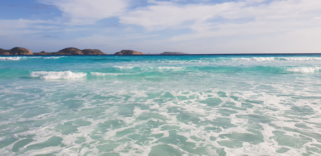
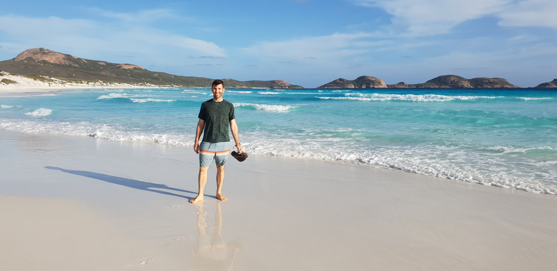
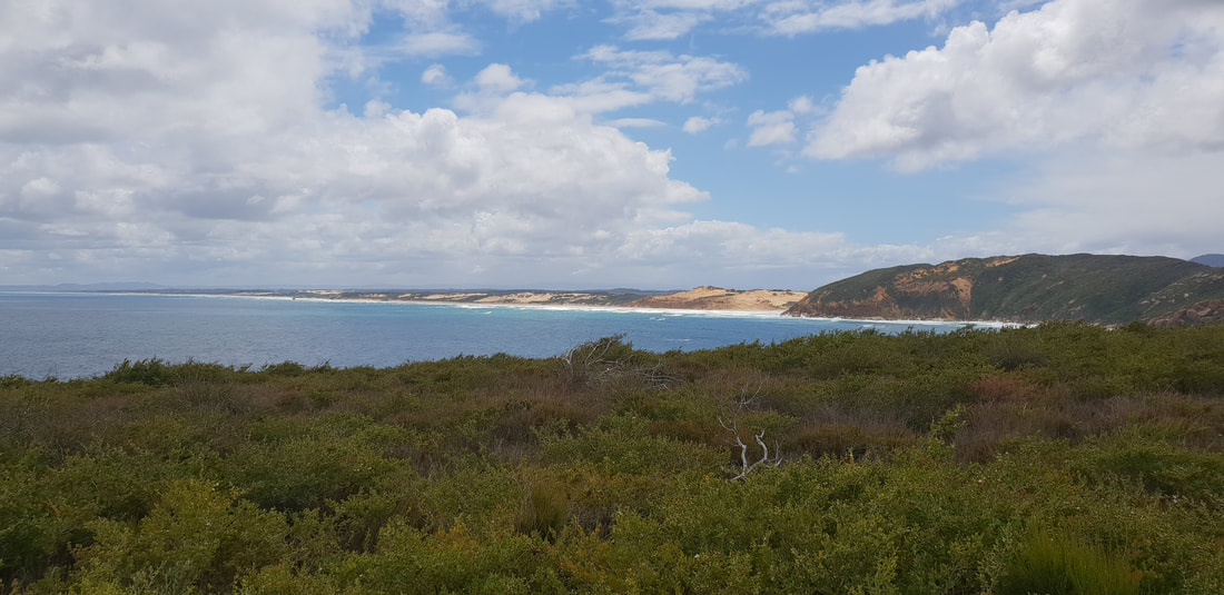
Lucky BayWhilst sailing a treacherous route through the Recherche Archipelago in 1802, Matthew Flinders steered his vessel HMS Investigator into a cove to take shelter from a summer storm. He named this piece of paradise and his saviour Lucky Bay. Located approximately 60kms west of Esperance in the Cape Le Grand National Park, Lucky Bay is home to sunbaking kangaroos and the most spectacular beach of squeaky-clean sand lapped by magnificently coloured turquoise water.
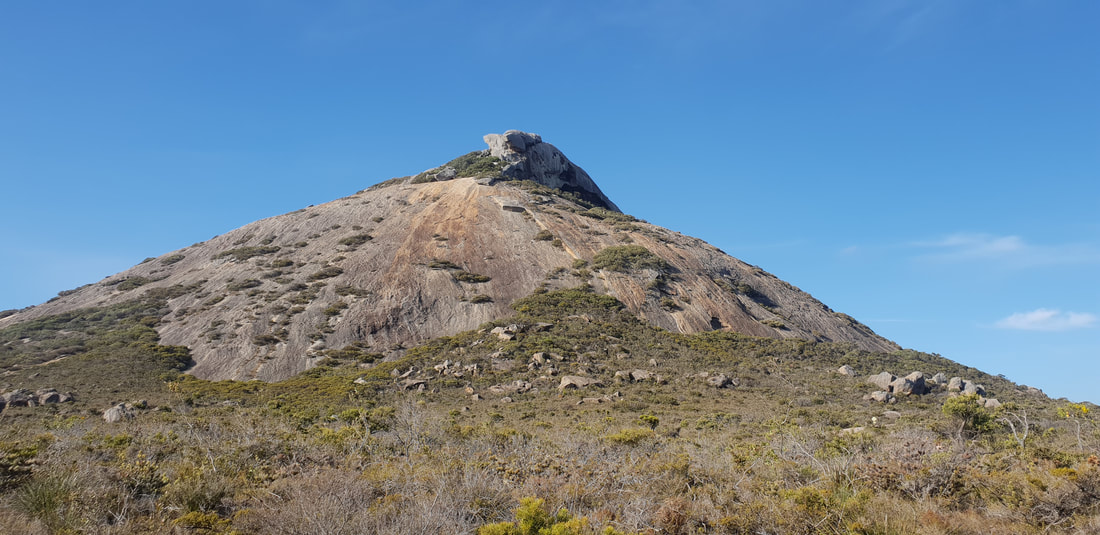
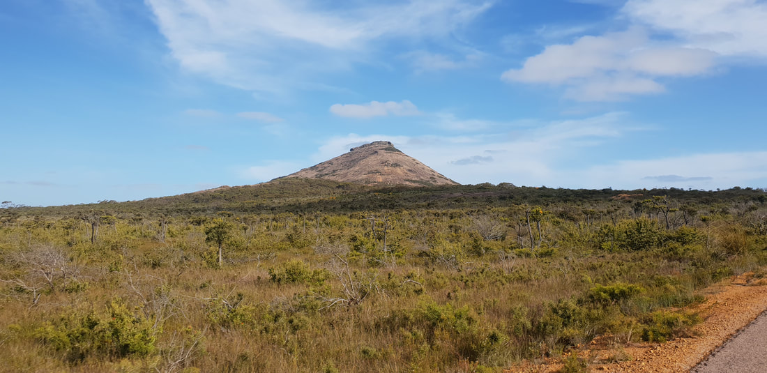
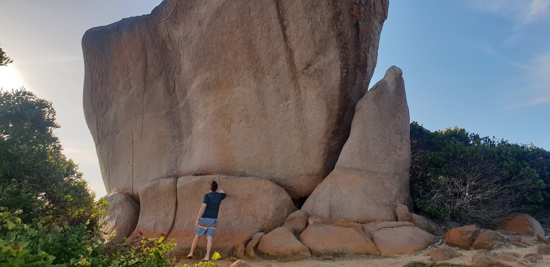
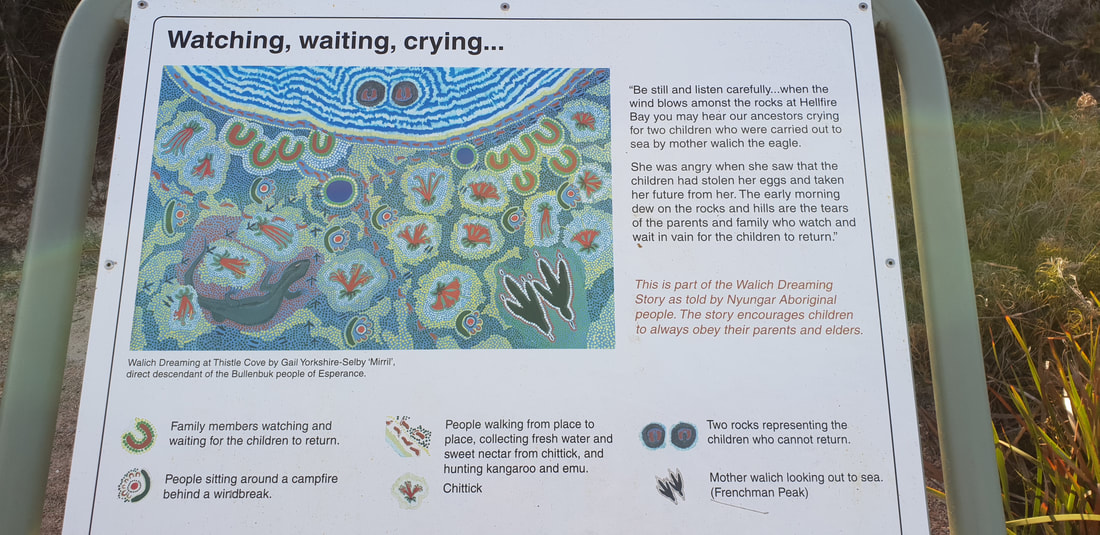
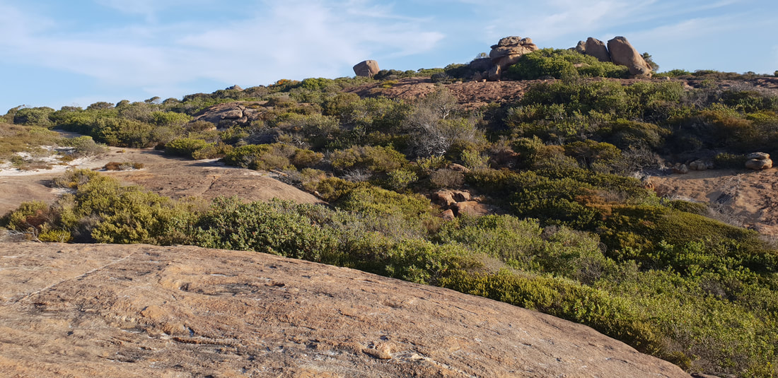
Frenchman Peak on the journey to Lucky Bay through Cape Le Grand National Park 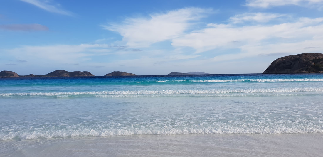
Mini Wave Rock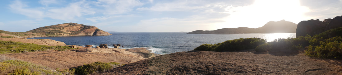
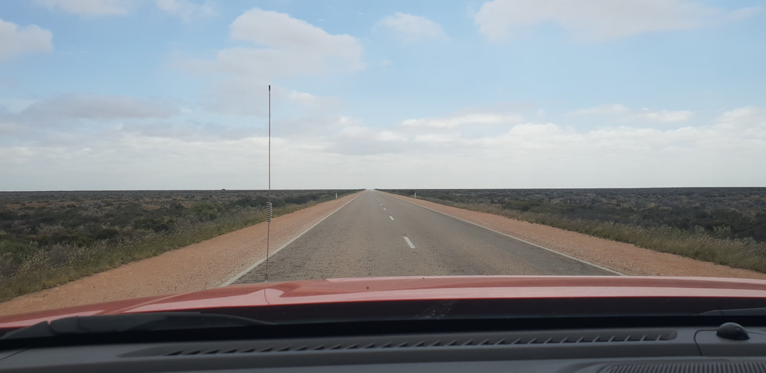
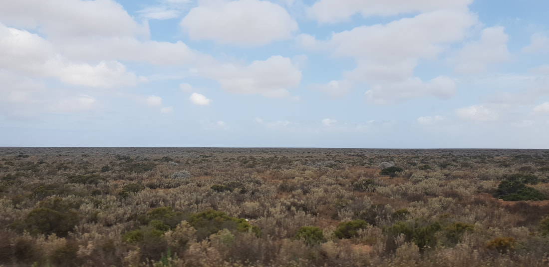
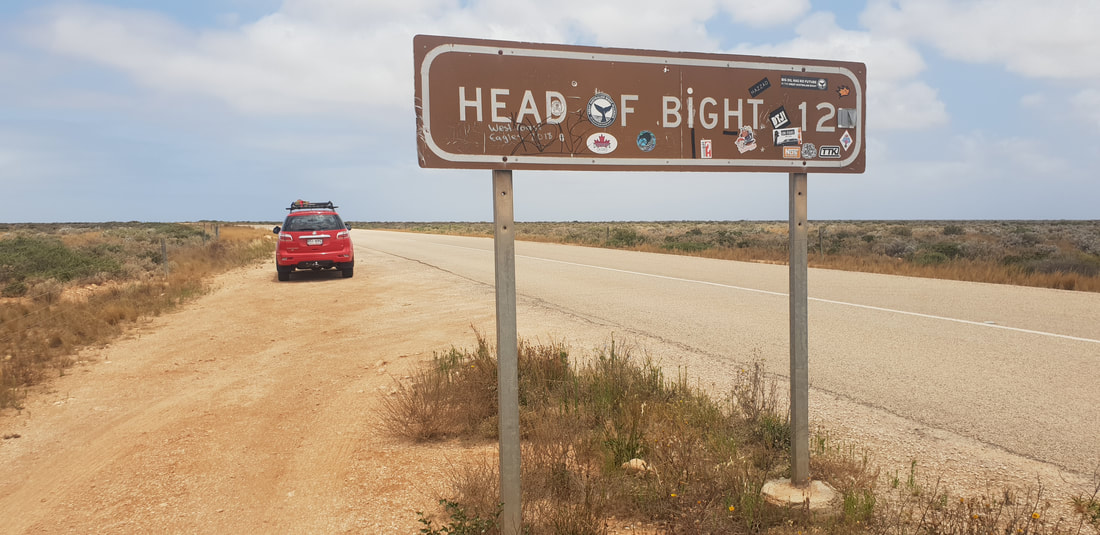
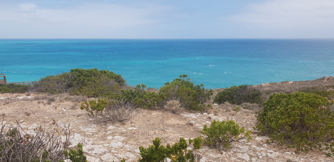
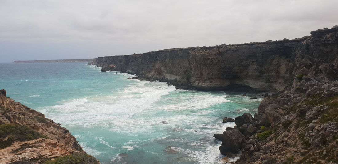
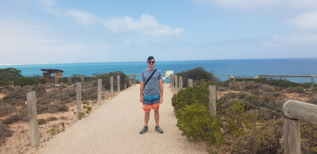
The head of the Great Australian Bight is most well known as a popular vantage point for whale watching, however even sans whales the indigenous run Head of Bight facility is one to put on the list. Walking out of the visitor centre in the direction of the ocean my mouth literally dropped as the expanse of turquoise blue penetrated my eyes. The view is in a word STUNNING and the beauty difficult to capture in photographs. The Bunda Cliffs that begin at the Head of Bight and extend the length of the Nullarbor Plain are made up of three distinct types of limestone. The first layer at the base is called Wilson Bluff Limestone, formed by the skeletons of decomposed marine organisms when the oceans were much higher than they are today. The second layer in the middle is called Nullarbor Limestone and began forming from sedimentation about 25 million years ago. The third and final layer on the top is called Bridgewater Formation and is windblown calcareous sand formed between 1.6 million years and 100,000 years ago. Nature is amazing and incredibly awe inspiring.
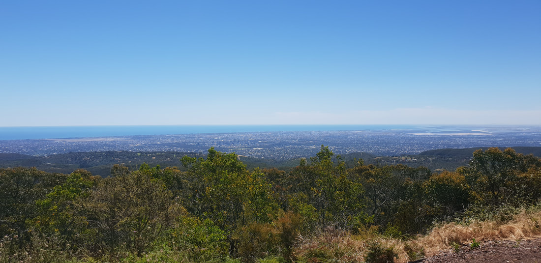
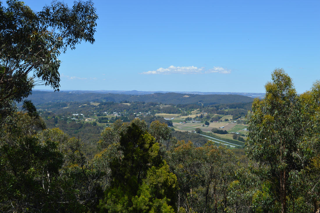
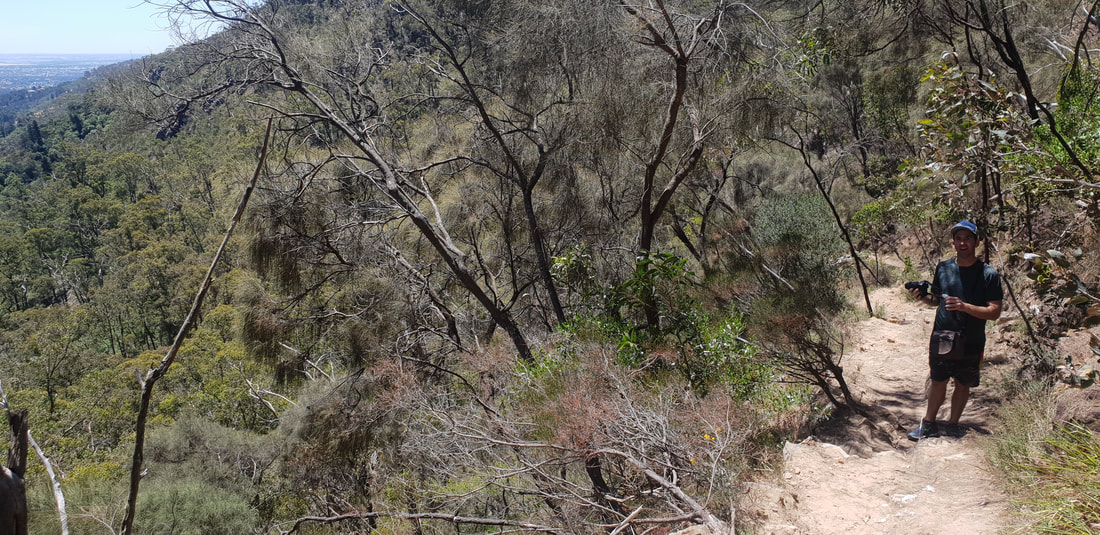
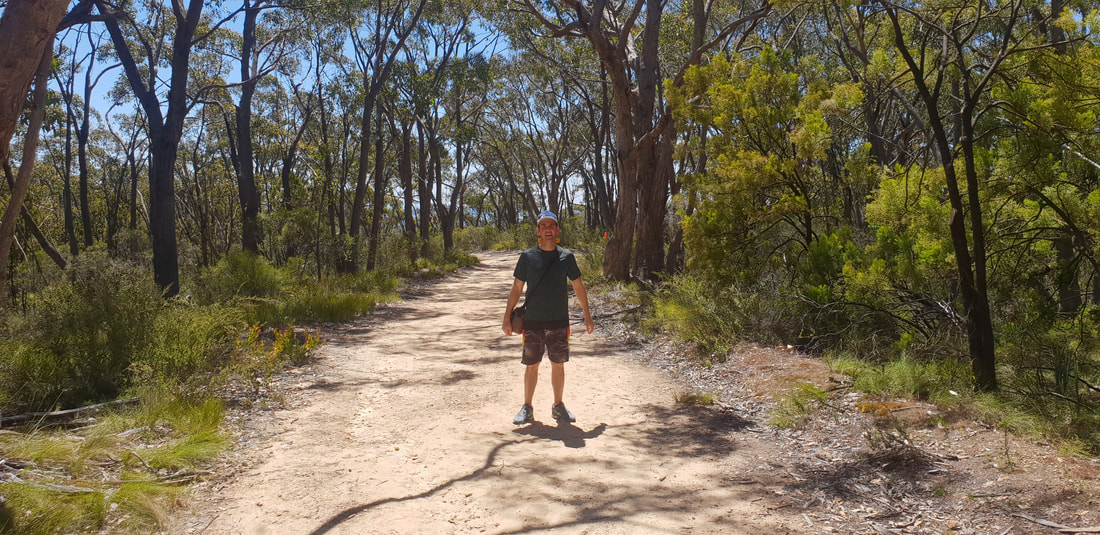
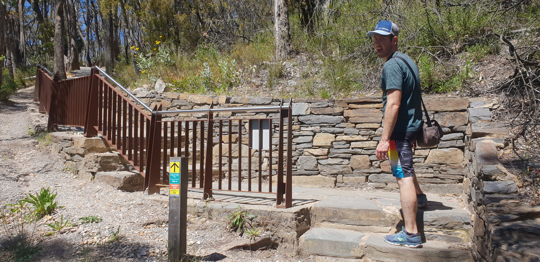
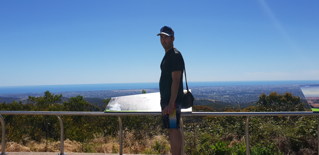
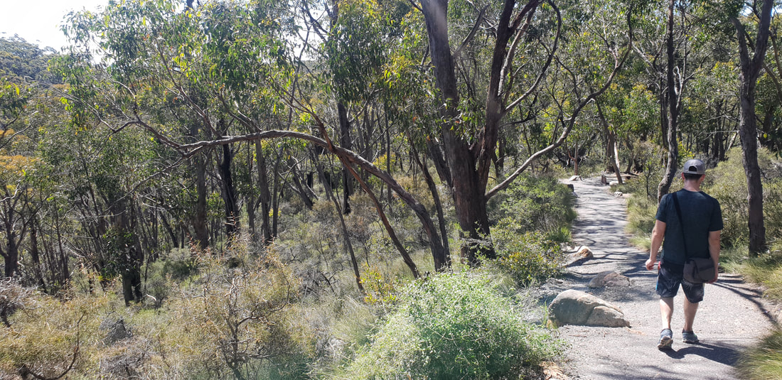
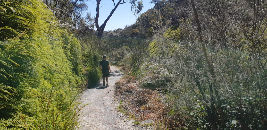
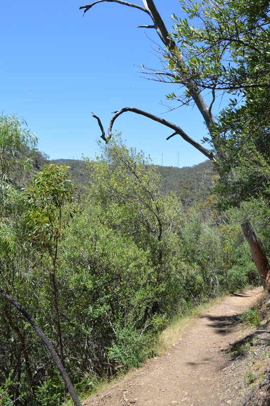
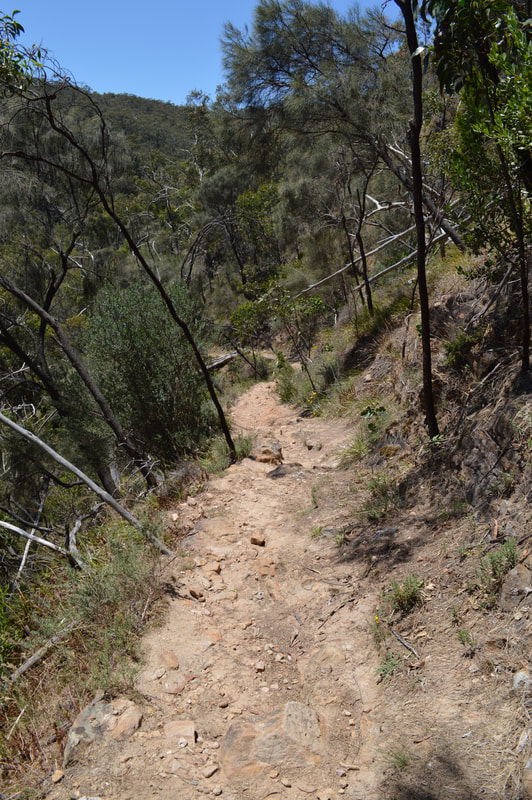
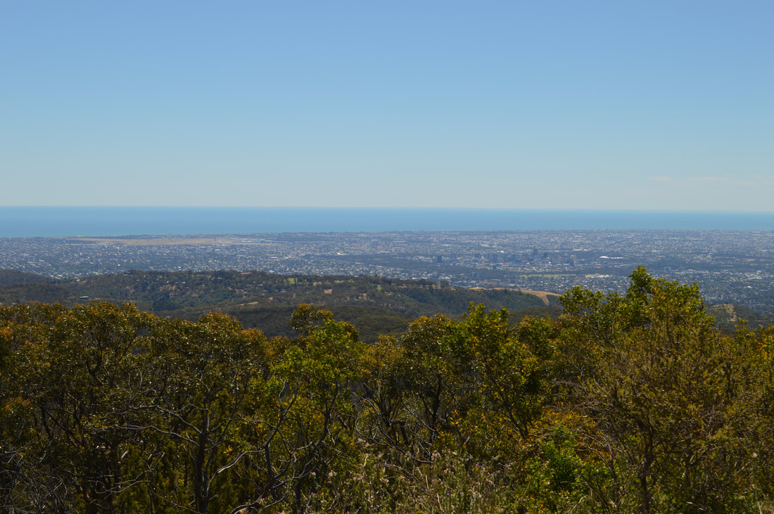
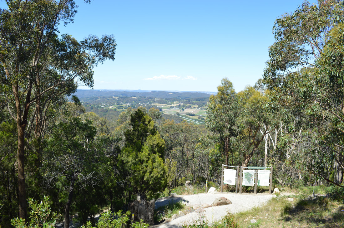
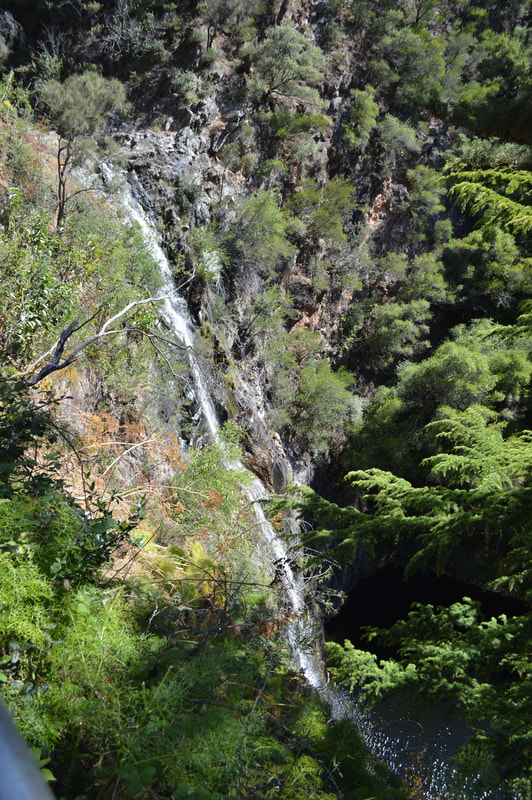
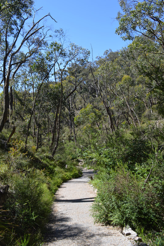
There are two walking track options to reach the summit. We chose the Adventure trail a 5 kilometre strenuous up-hill track from the Waterfall Gully Carpark. After a false start, which lead us in the opposite direction heading back towards the carpark we doubled back, found the correct track and were on our way. The track traverses for 5 kilometres, dirt tracks and fire trails then eventually connects with the original track closer to the summit for an epic practically dead-straight up-hill slog before reaching the top in a climax of burning calf muscles, beetroot red faces and sweat-stinging eyes that are half blinded by the beaming white obelisk at the top, called Flinders Column, glaring back at us in the bright afternoon sun. Once at the top we opted to descend via the 4 kilometre original track that is now mostly sealed, but still very very steep. I'm not sure what was harder going; up or down... The walk to the summit was energising and being serenaded by sweeping views over Adelaide city and the surrounding suburbs felt like an achievement and was well worth the burning calf muscles. Admittedly we could have driven to the summit, but where's the adventure in that...
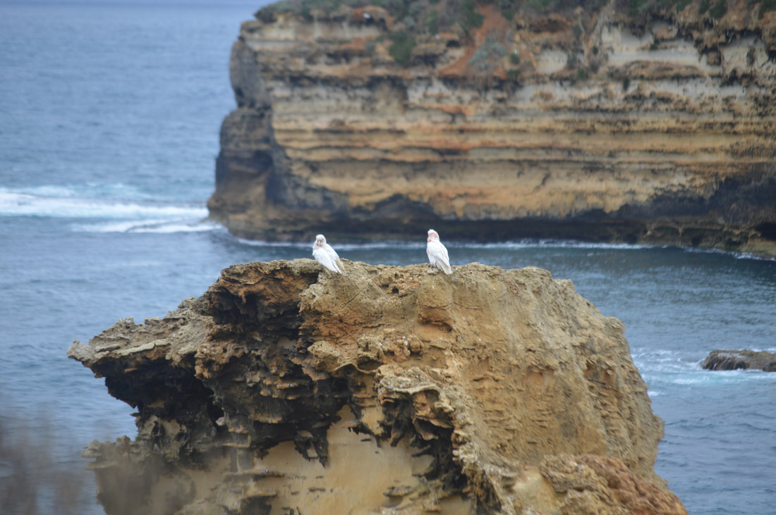
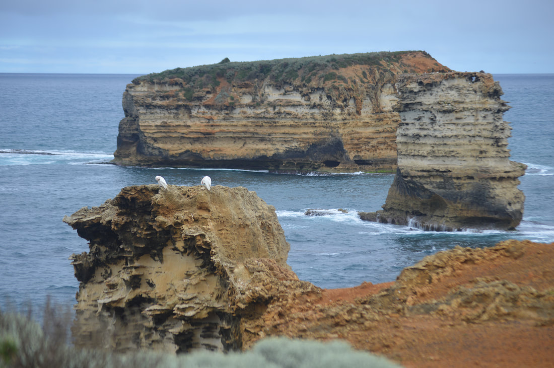
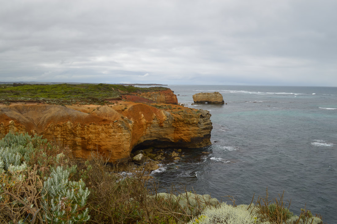
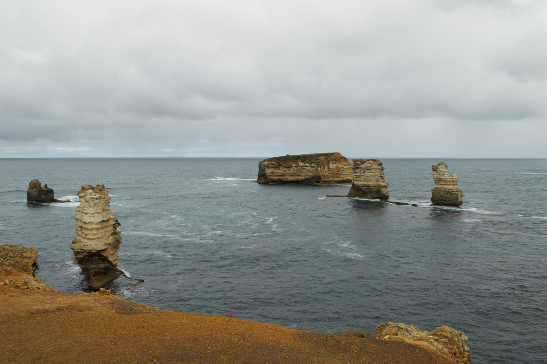
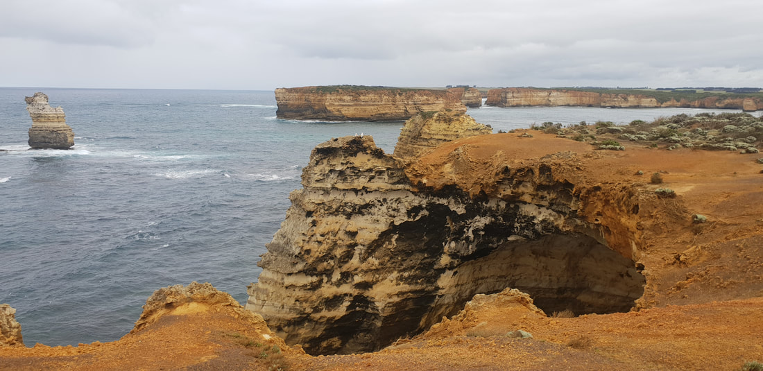
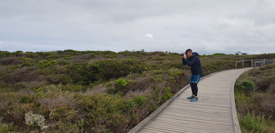
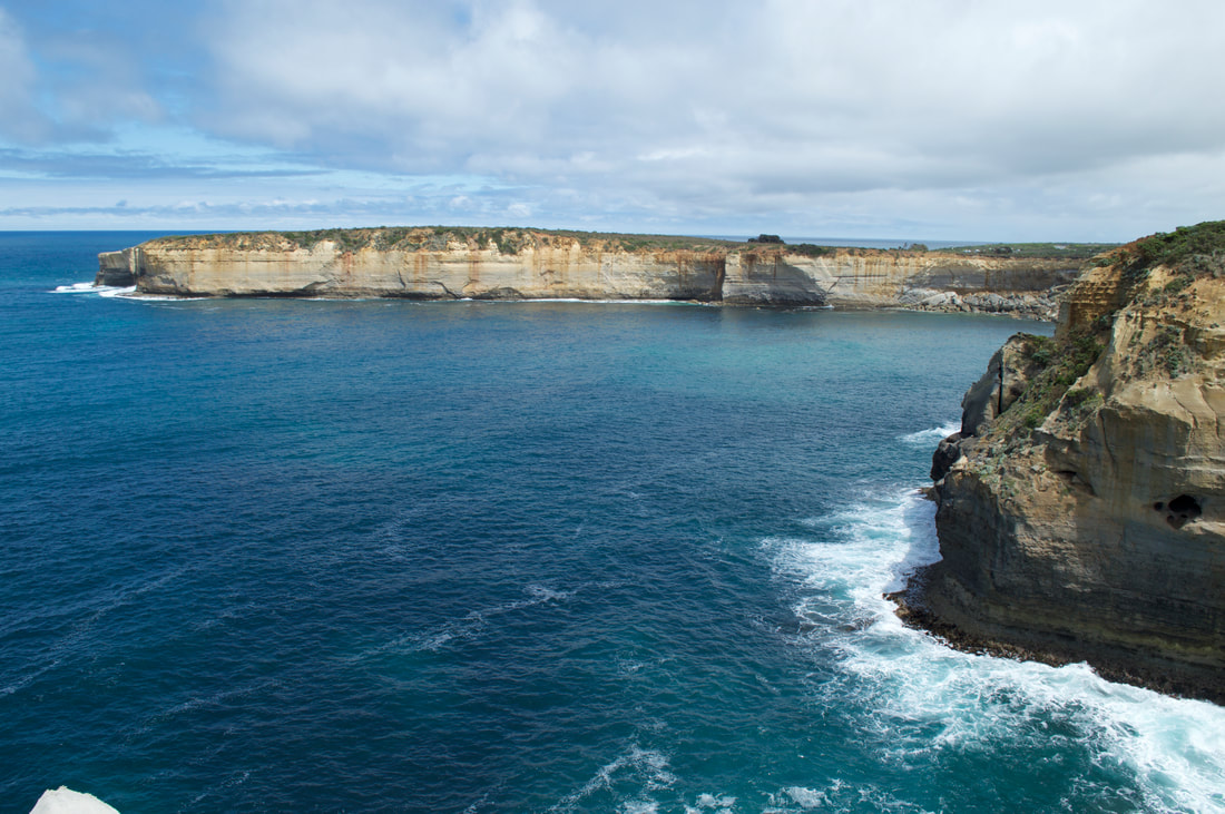
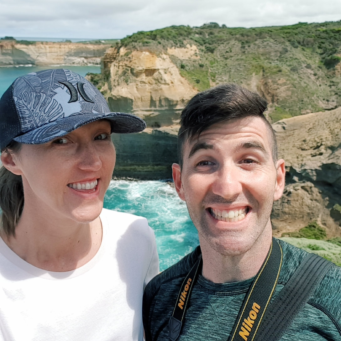
Bay of Islands
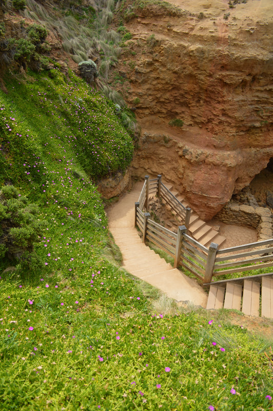
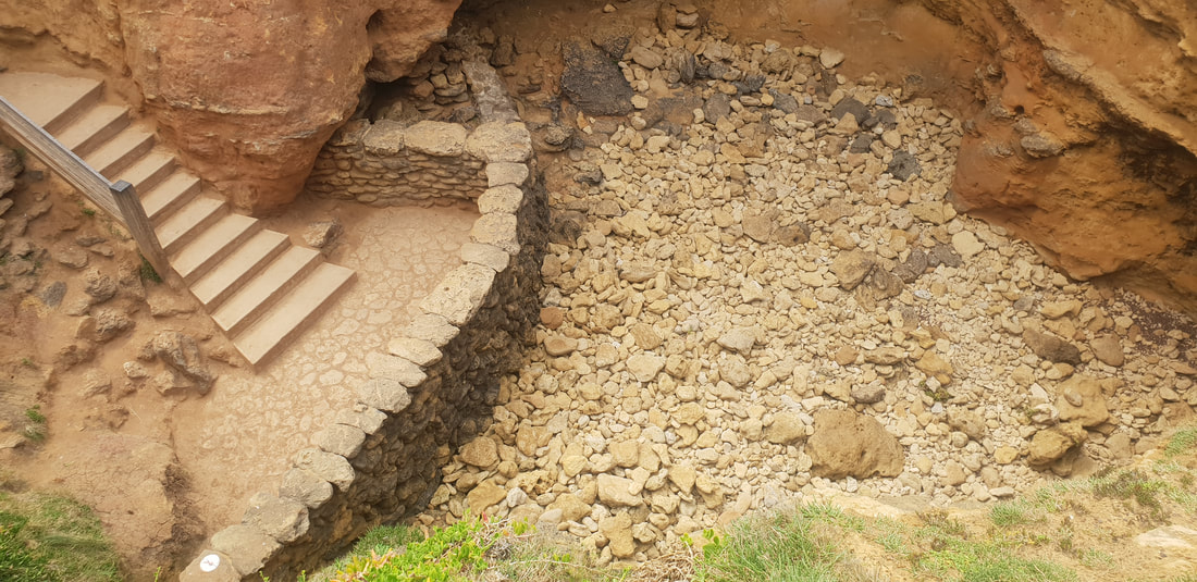
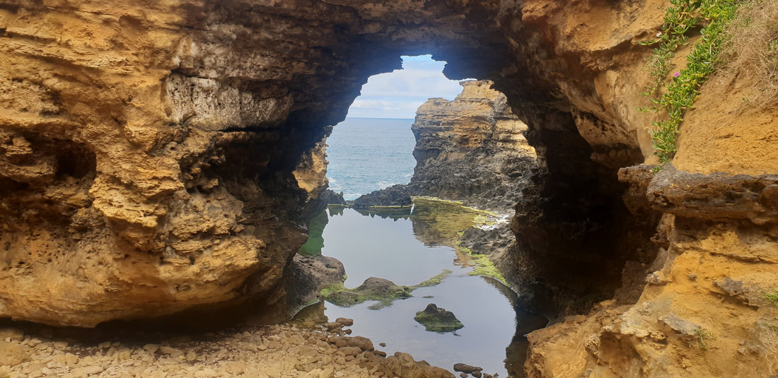
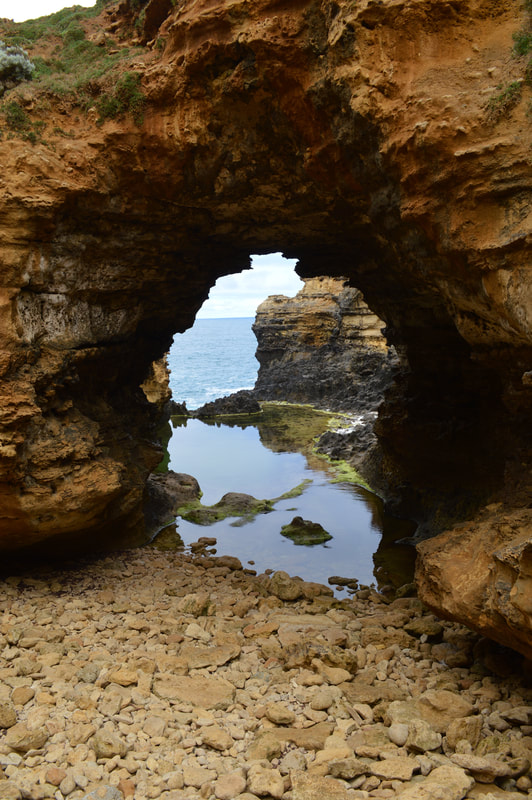
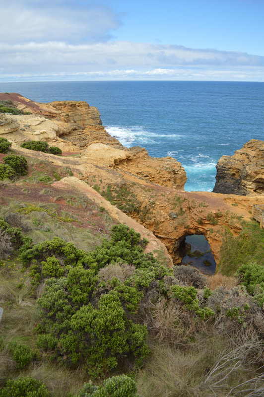
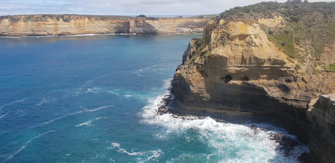
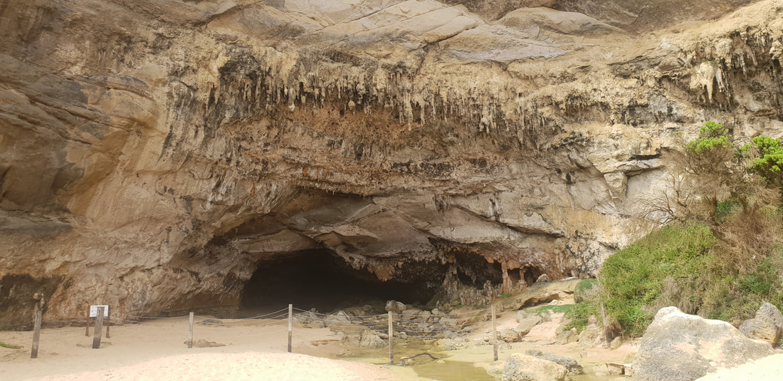
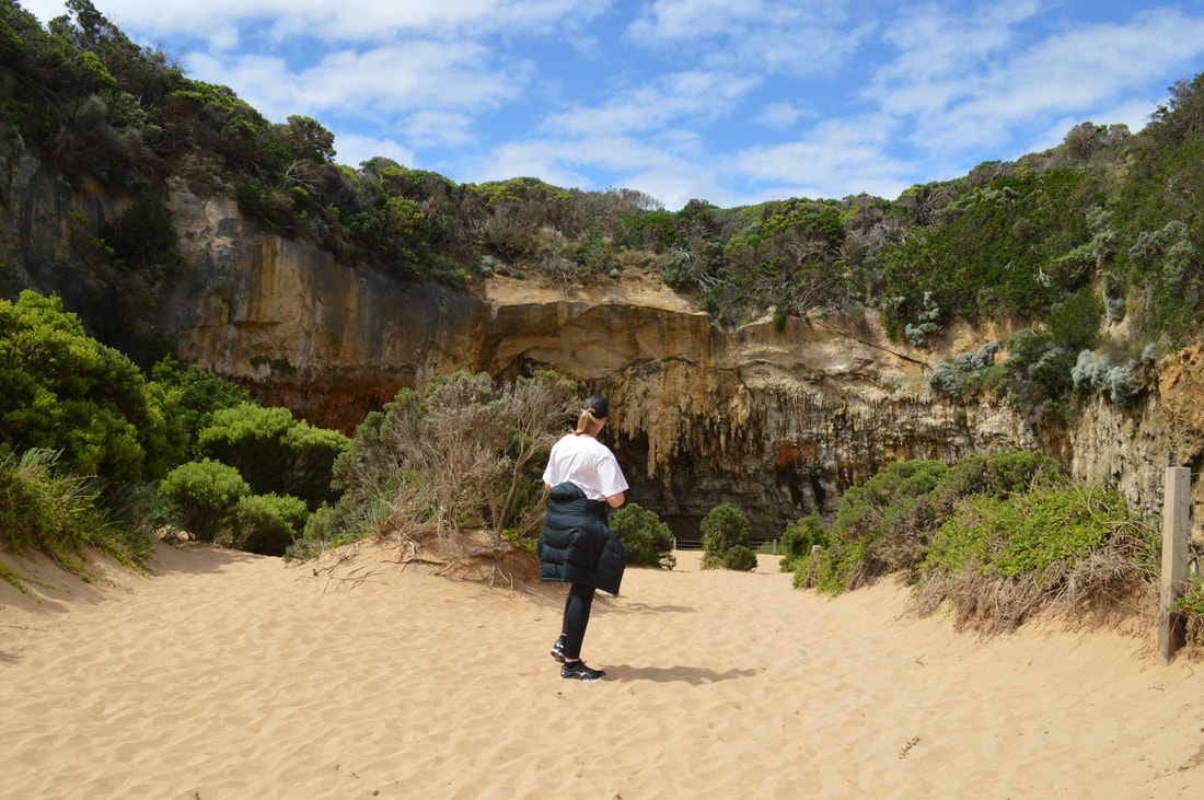
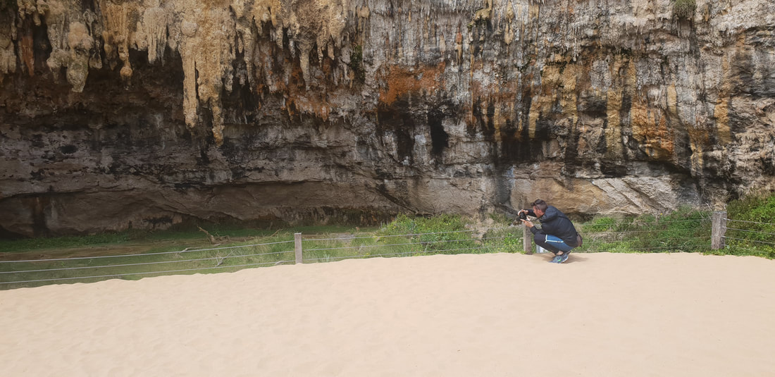
The Grotto
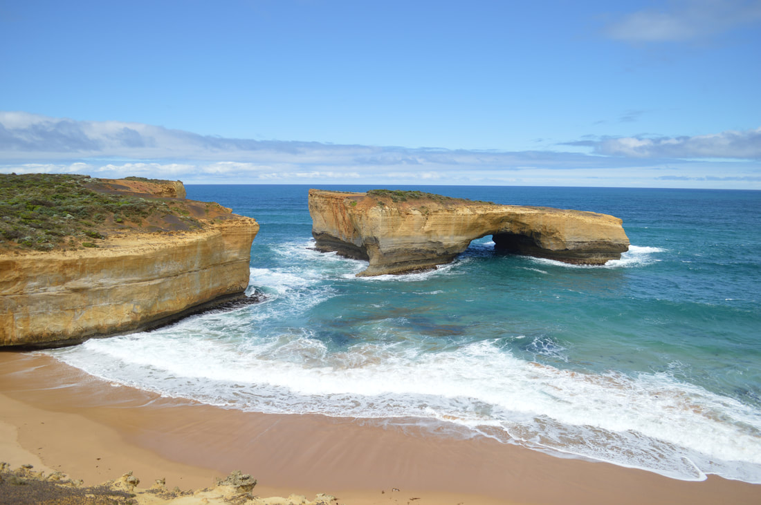
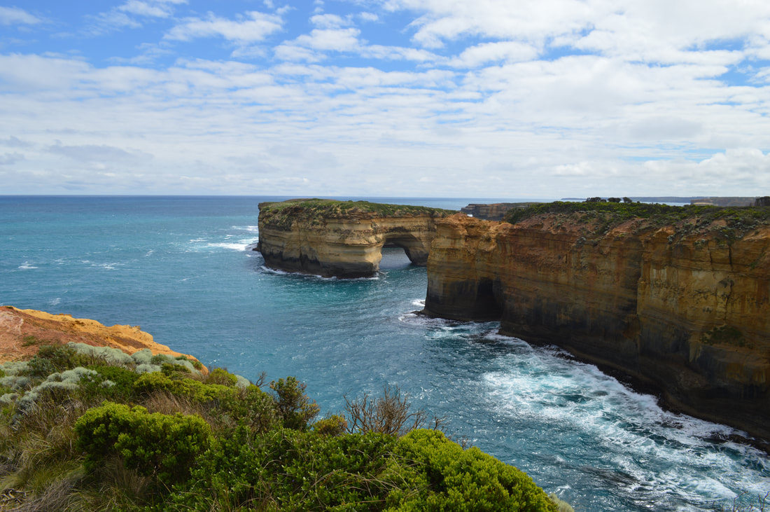
London Bridge
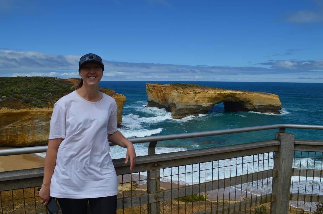
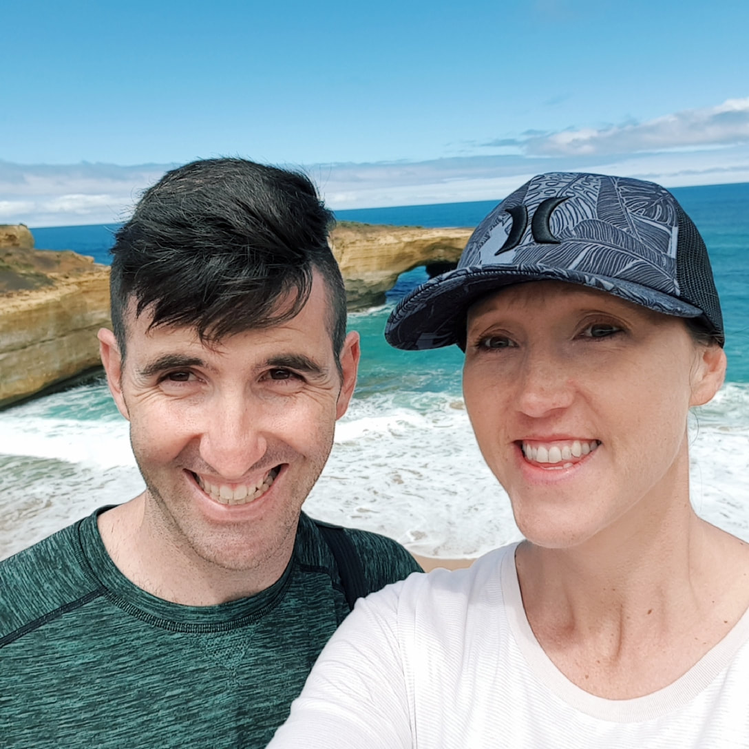
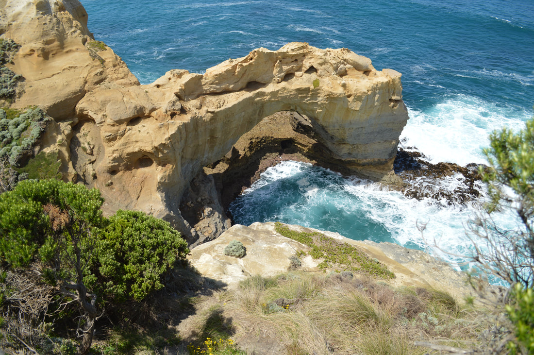
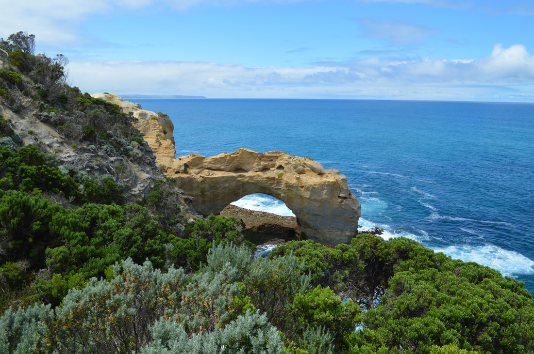
The Arch
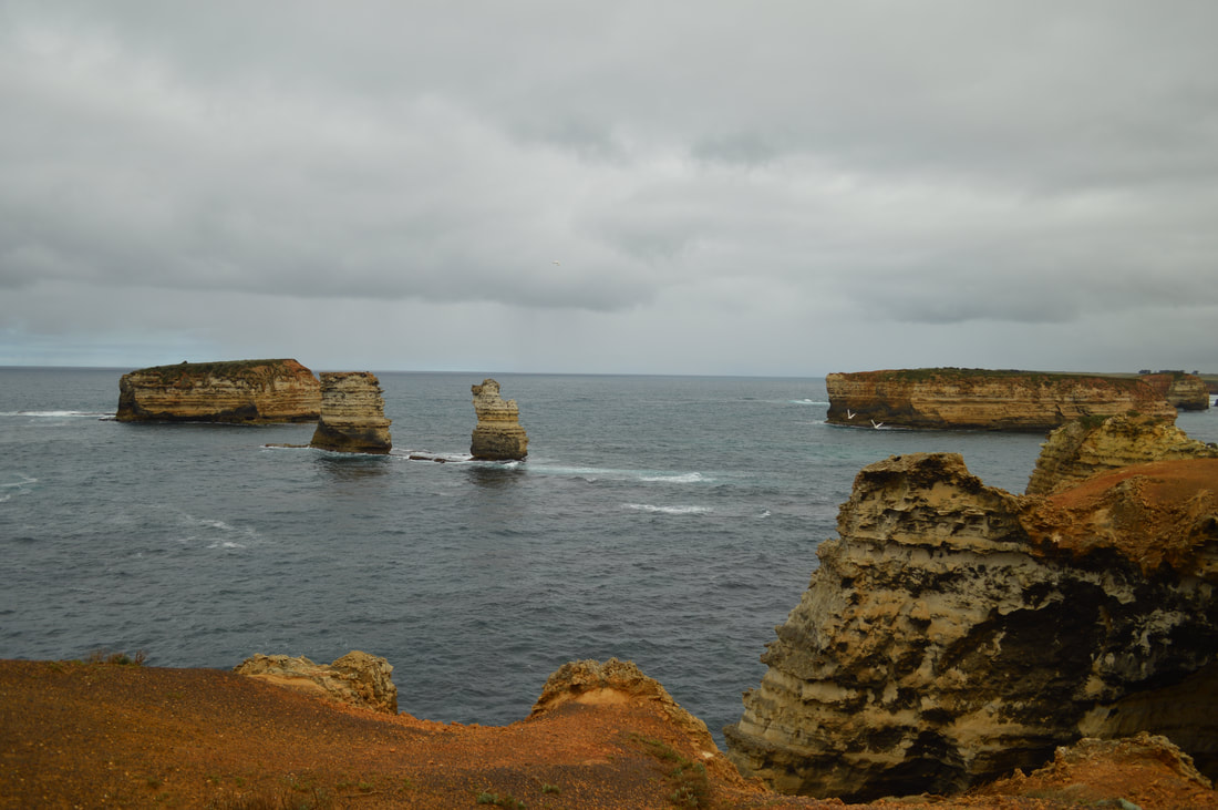
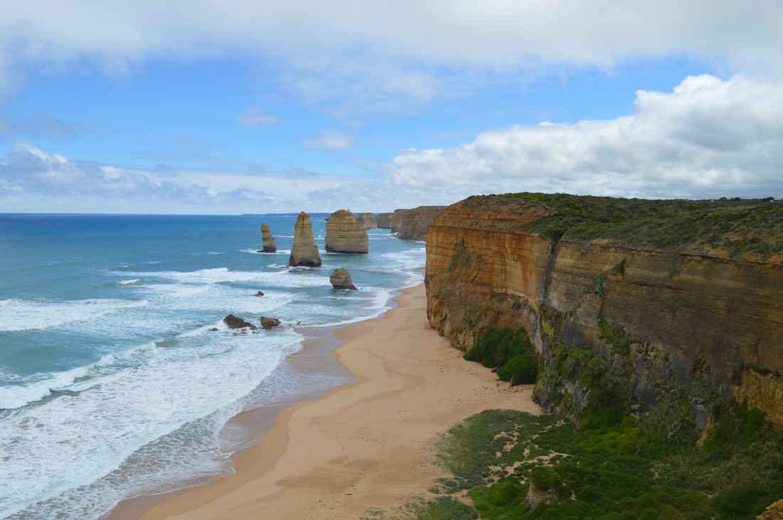
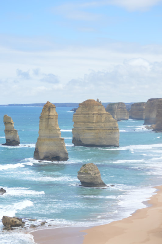
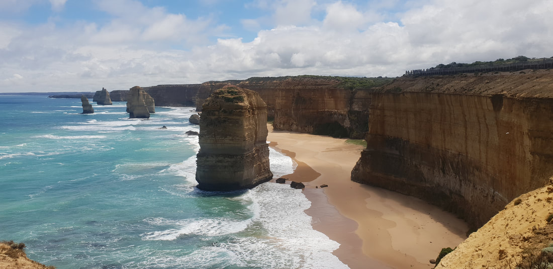
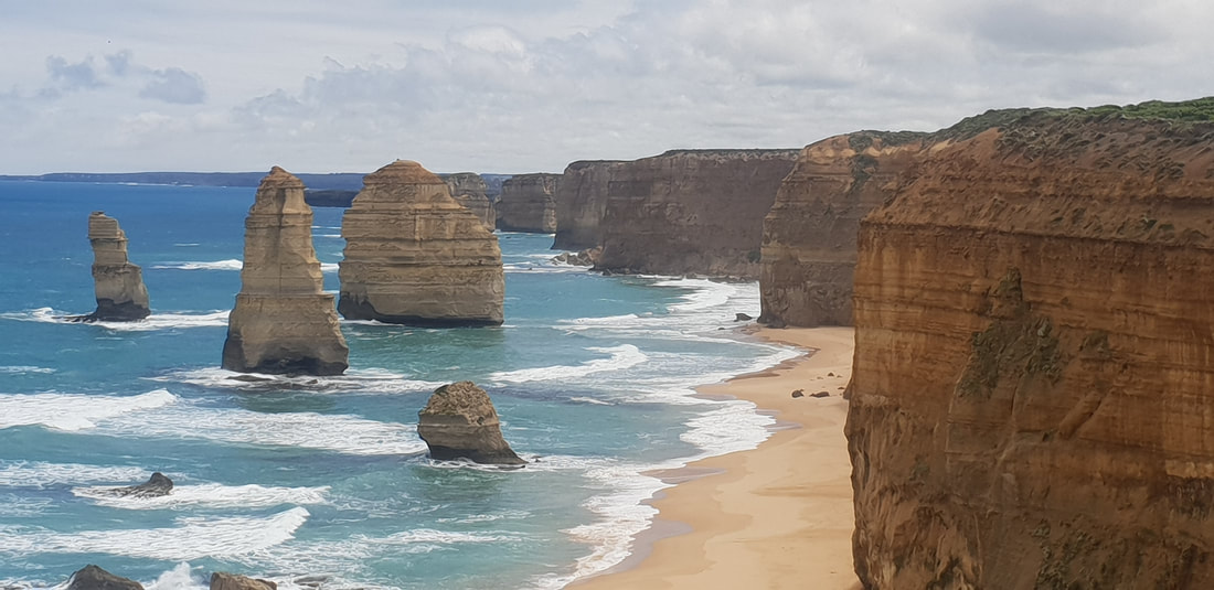
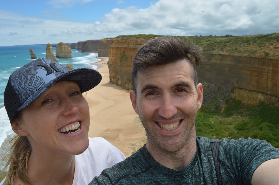
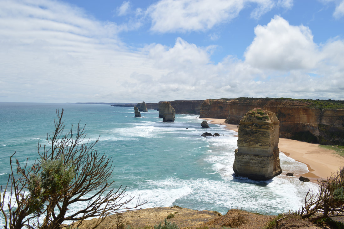
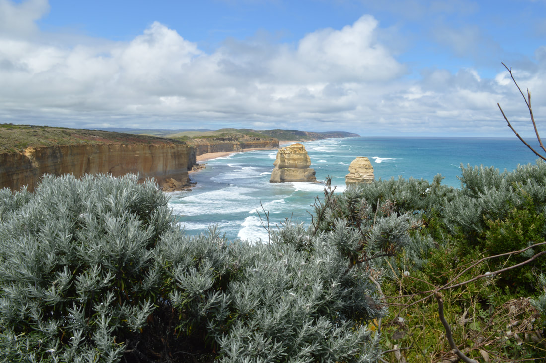
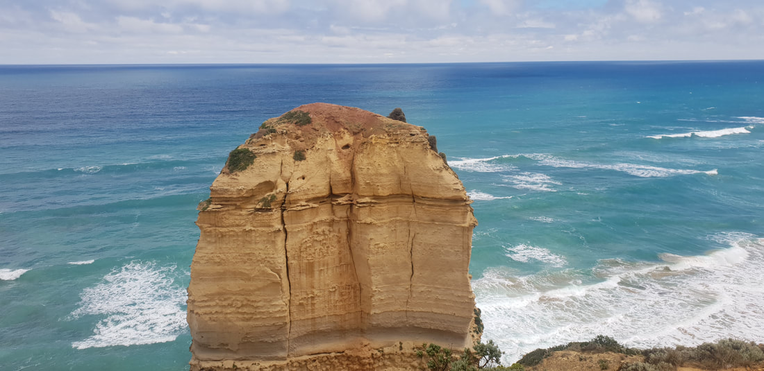
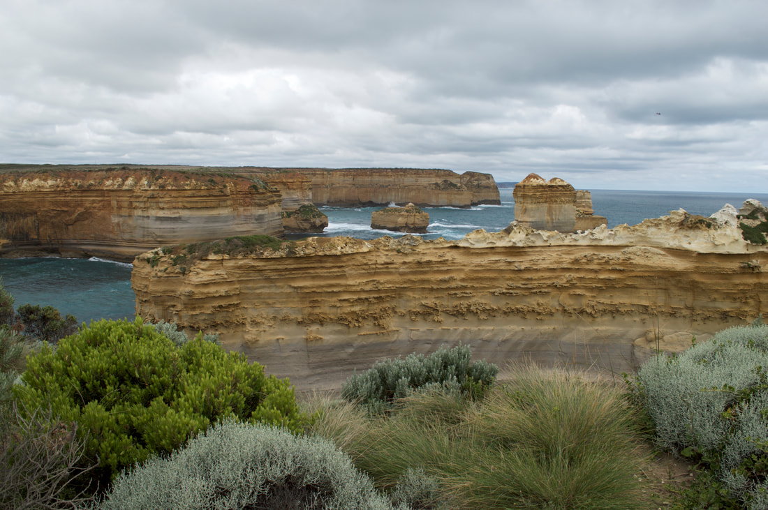
The Twelve Apostles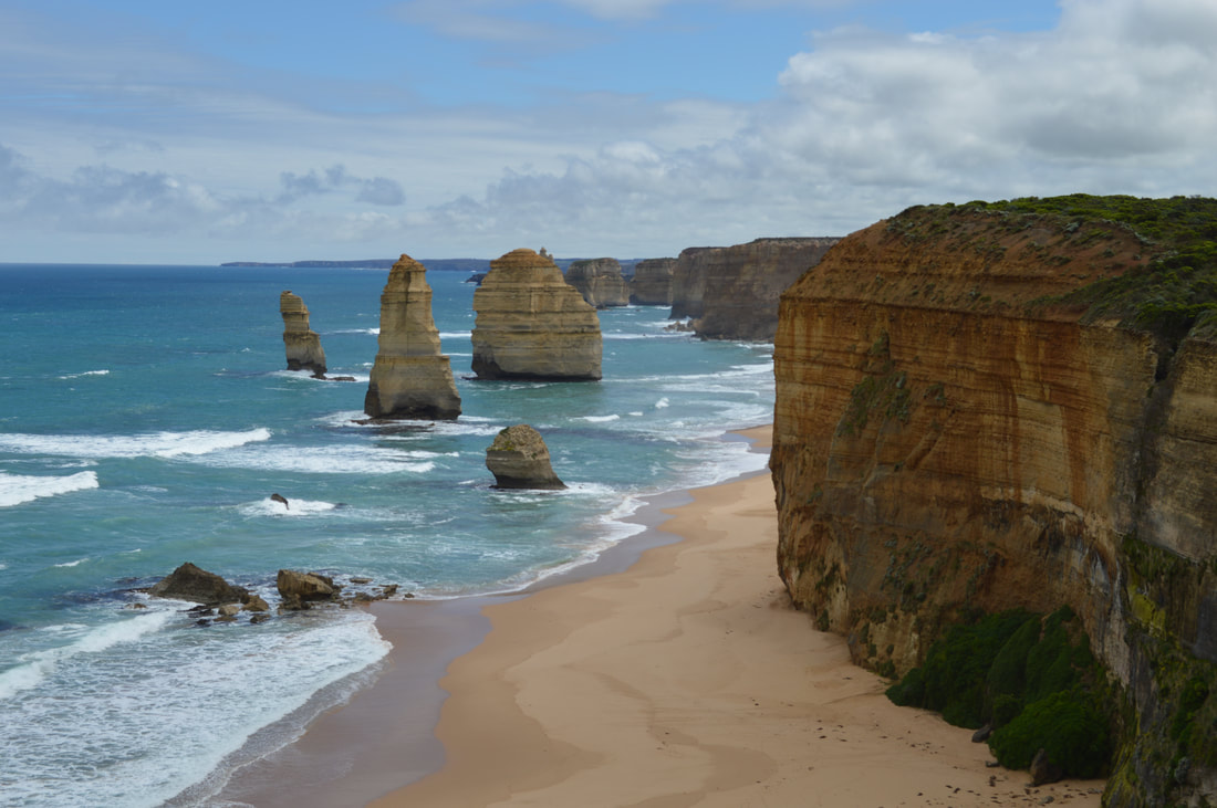
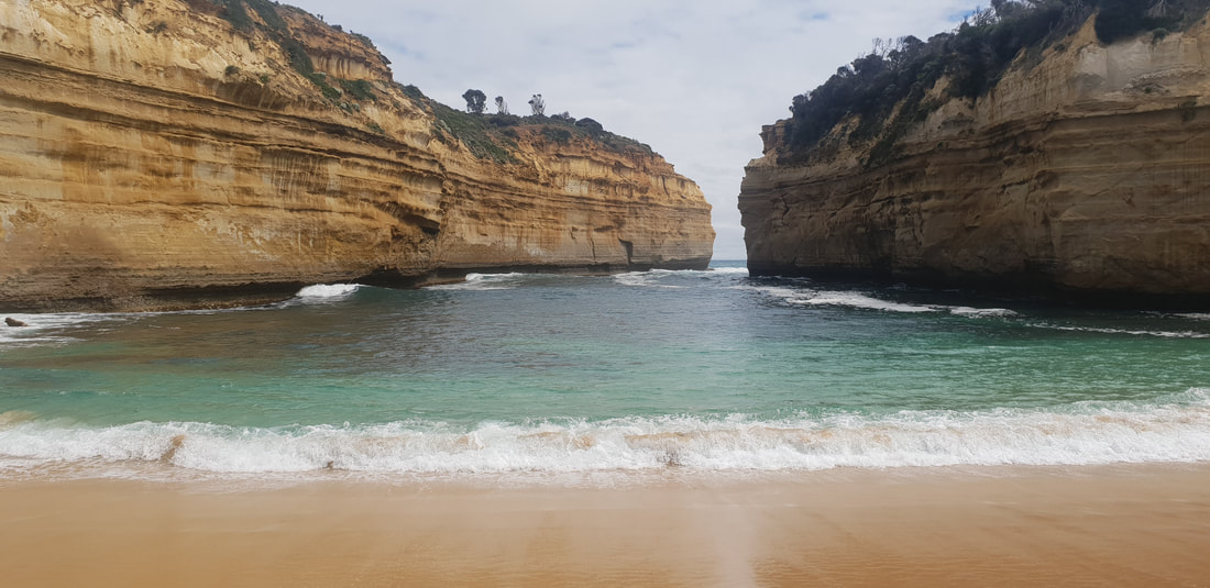
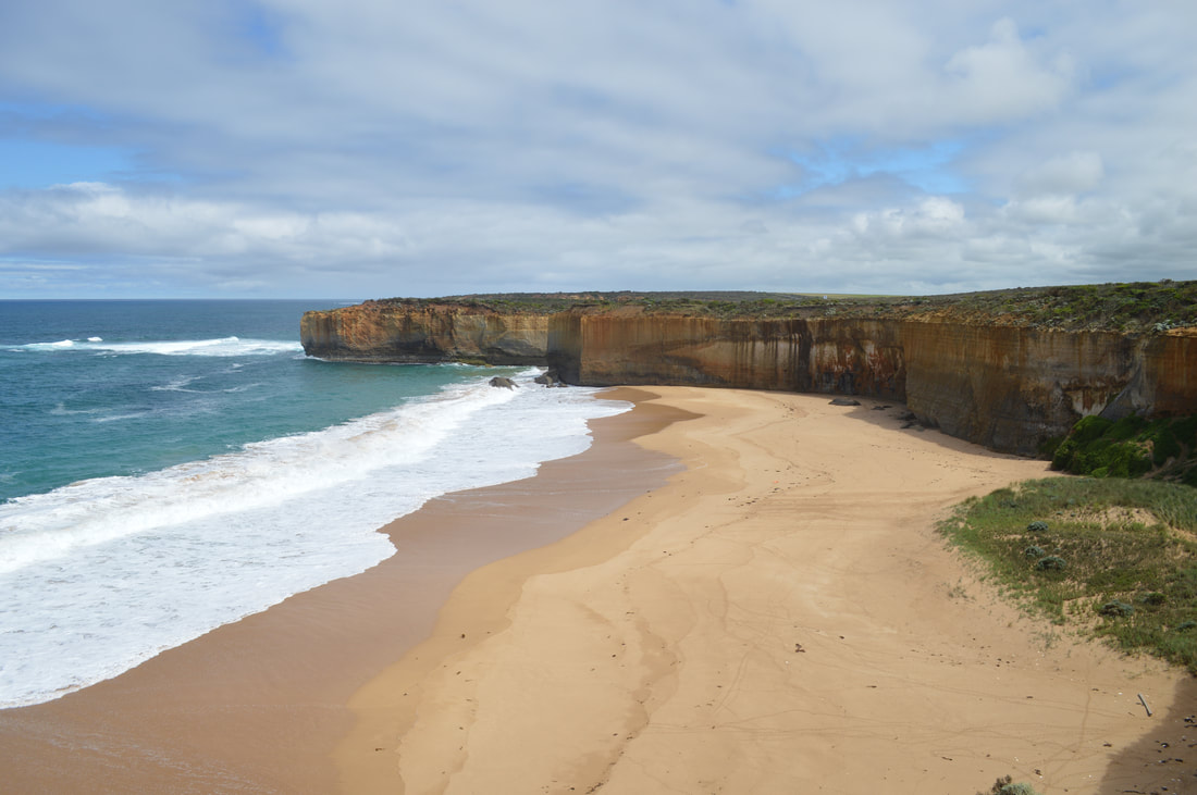
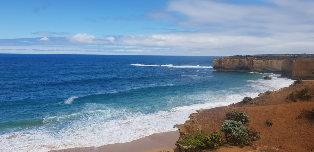
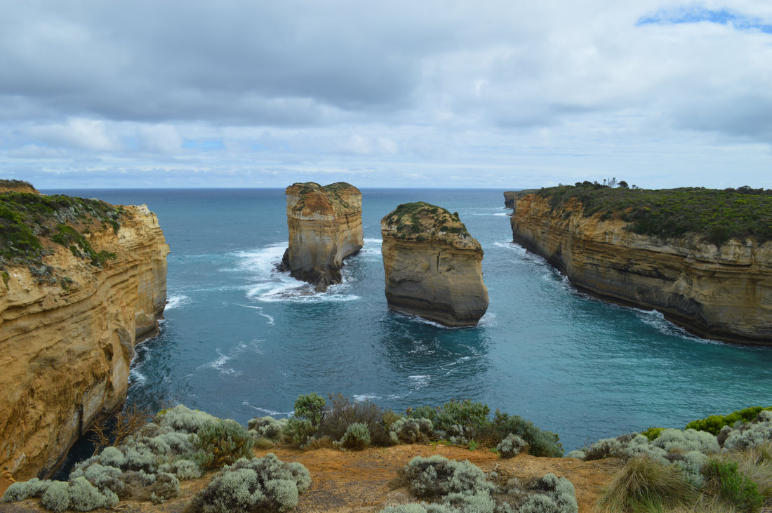
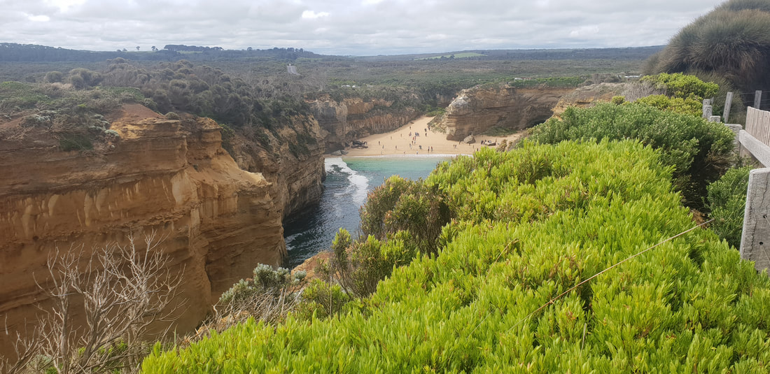
Loch Ard Gorge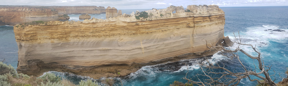
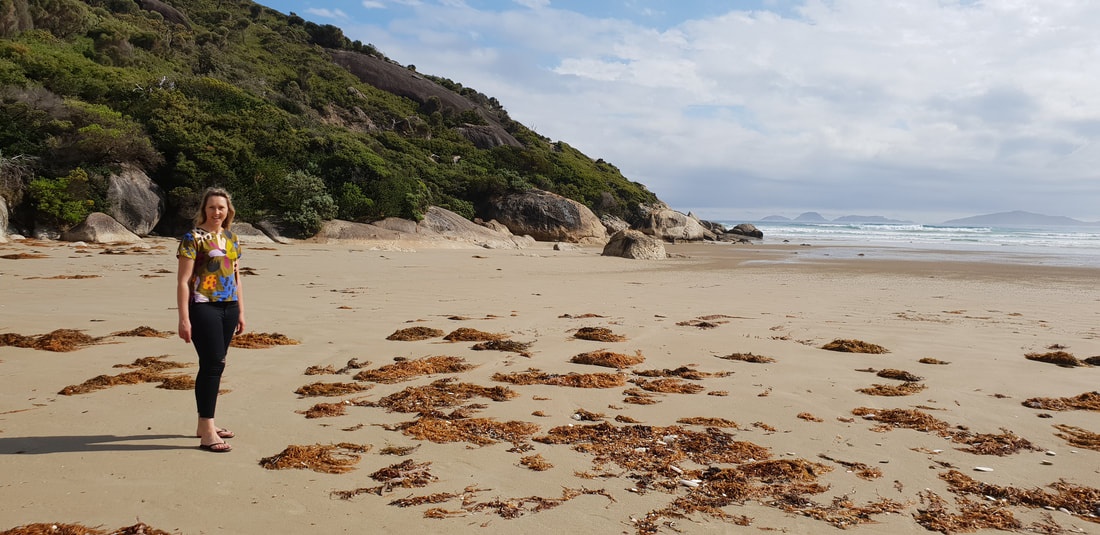
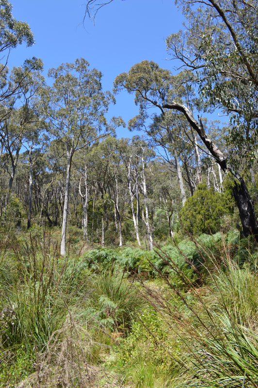
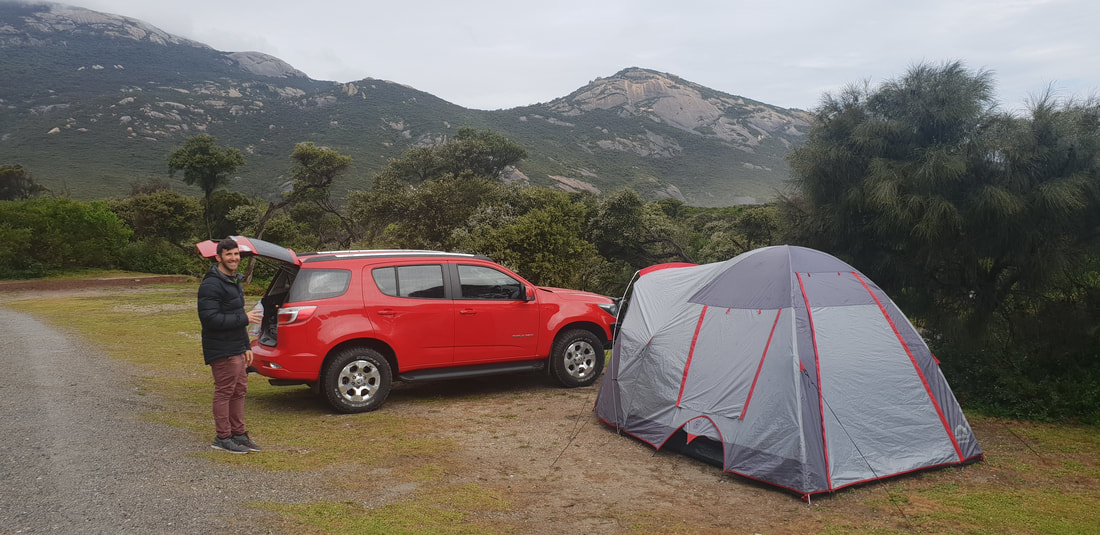
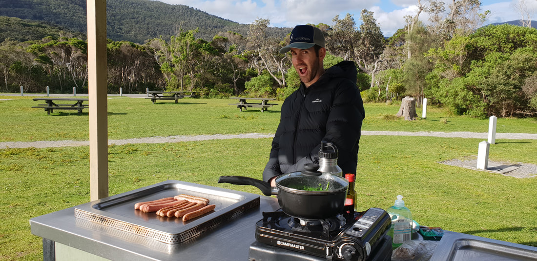
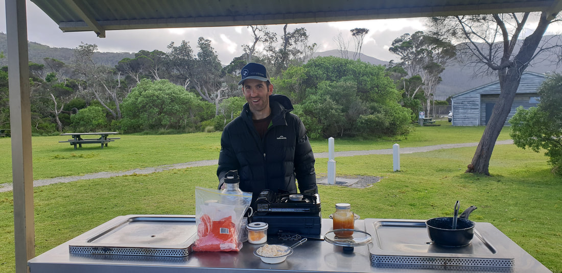
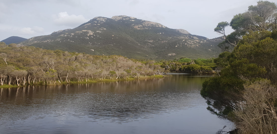
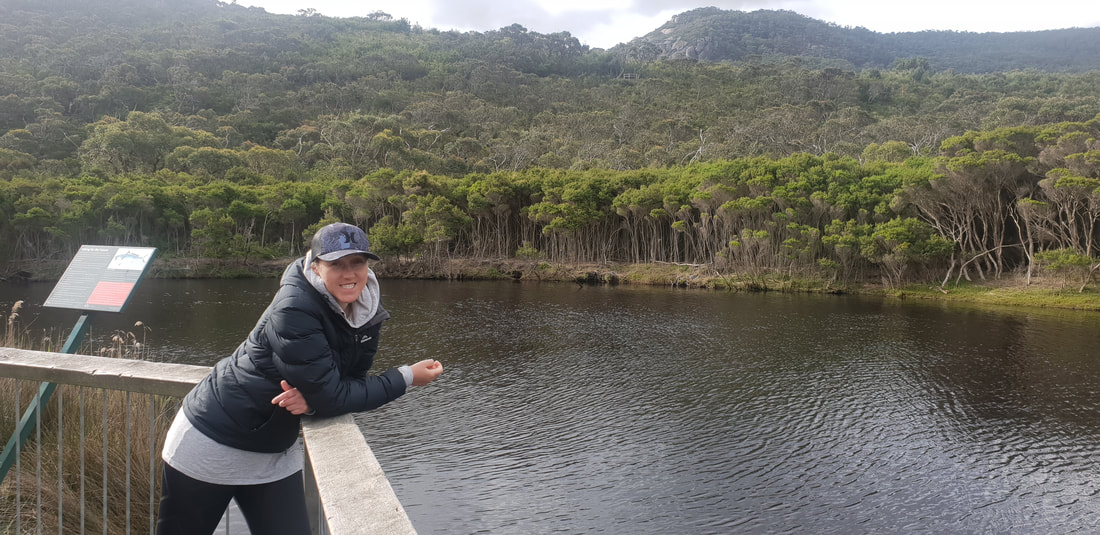
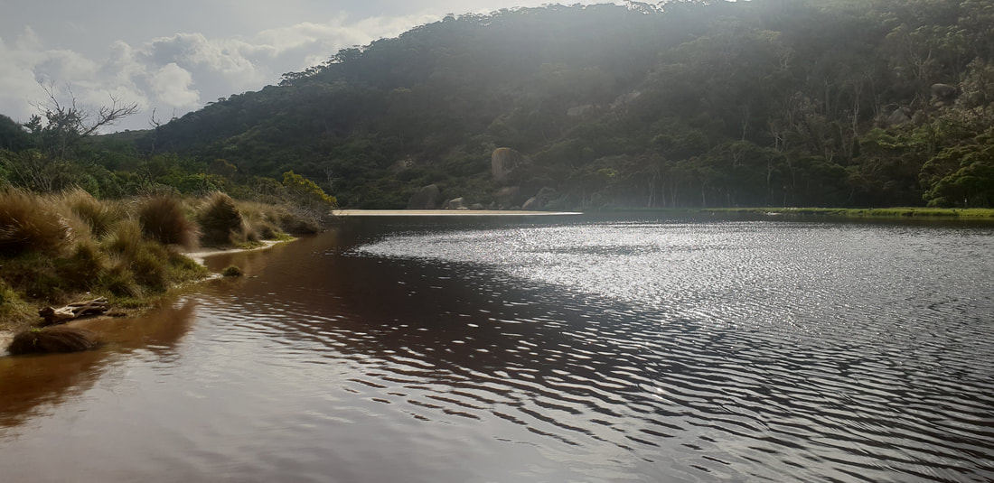
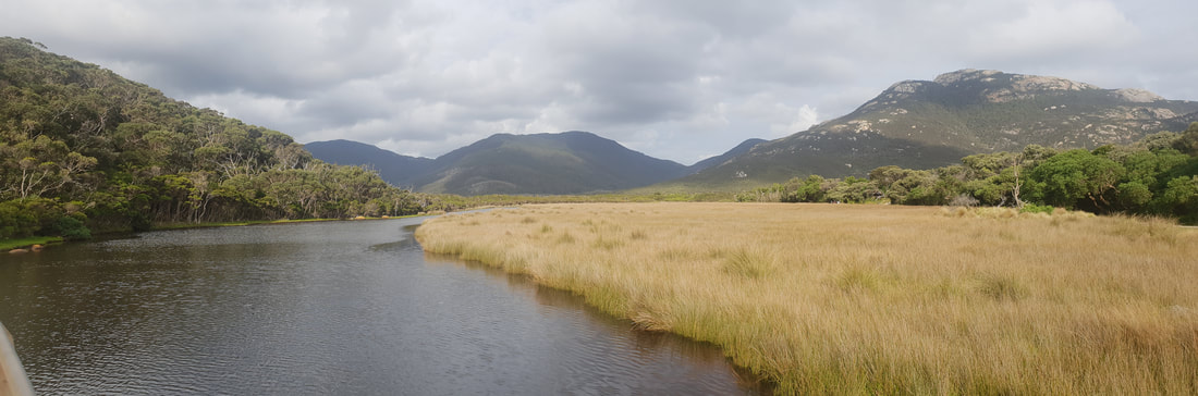
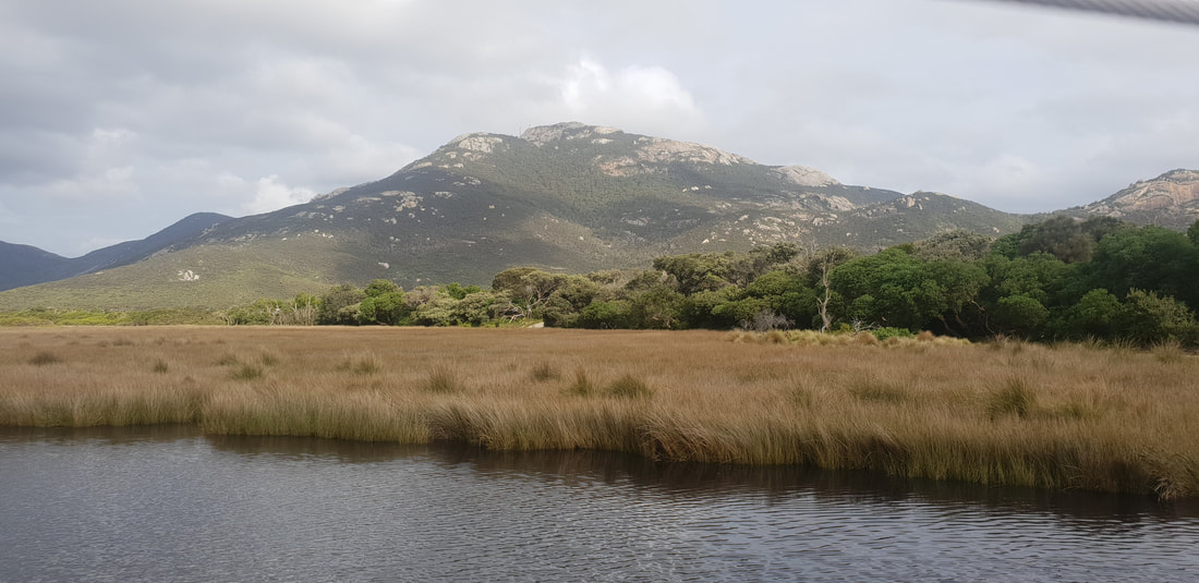
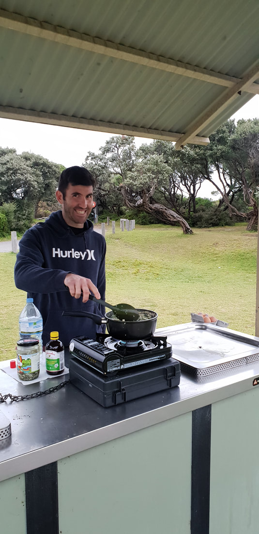
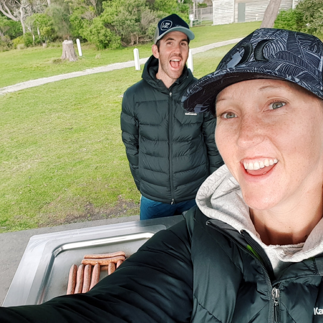
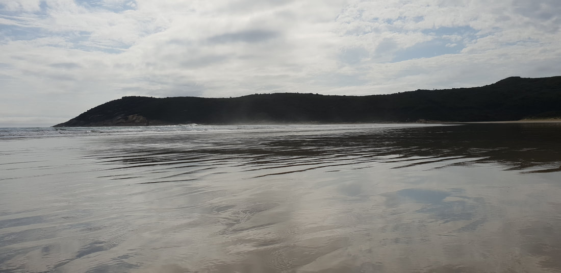
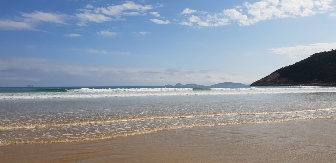
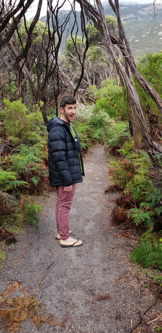
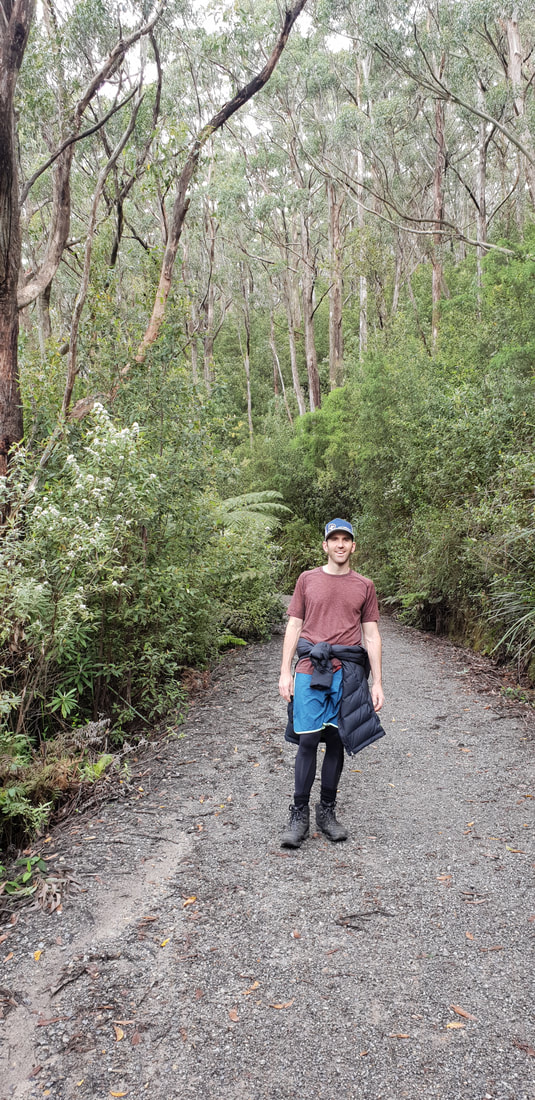
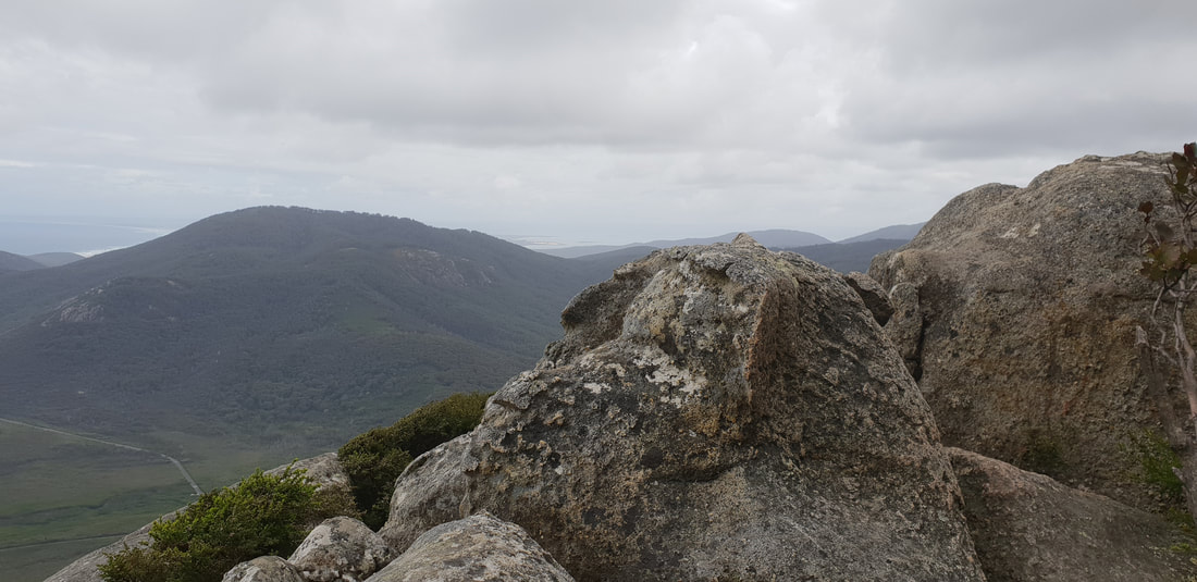
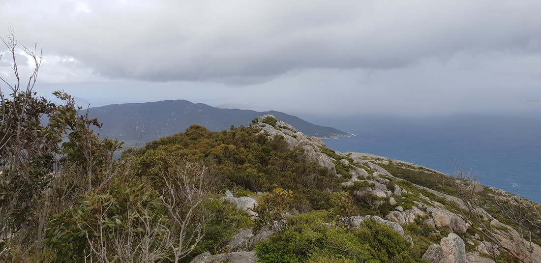
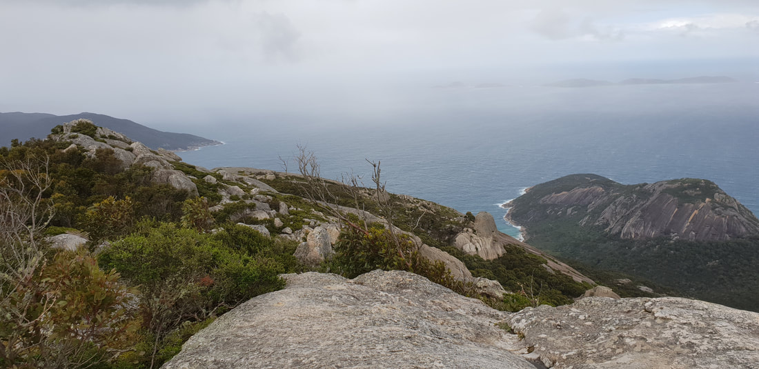
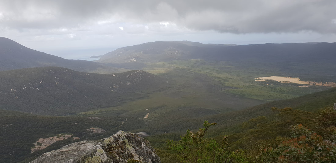
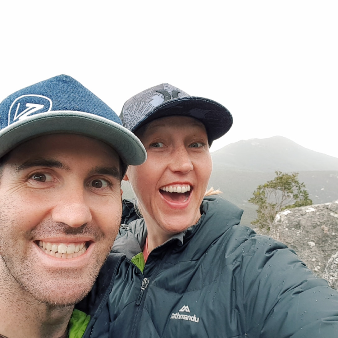
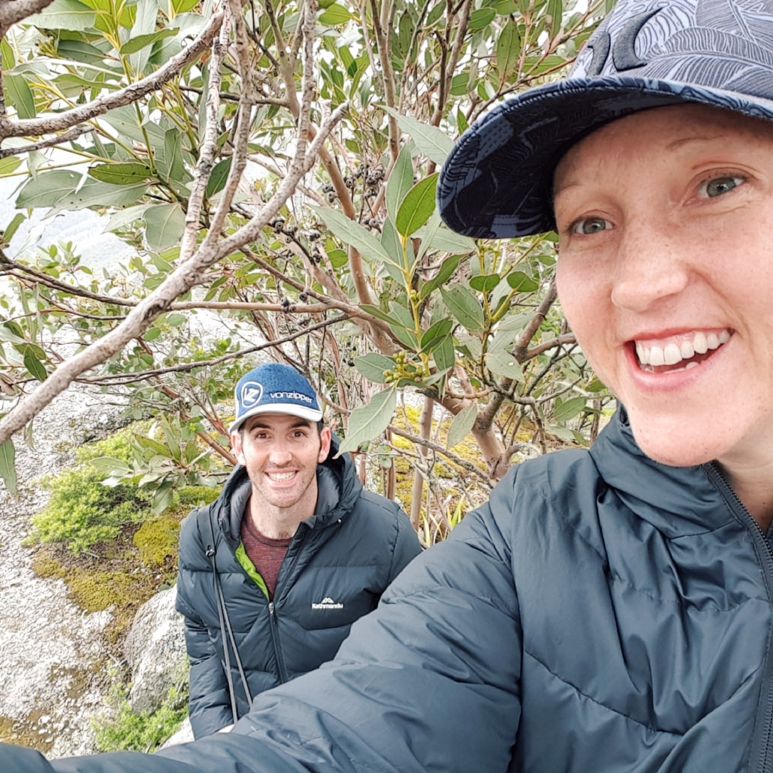
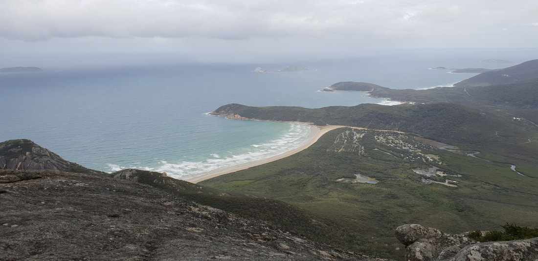
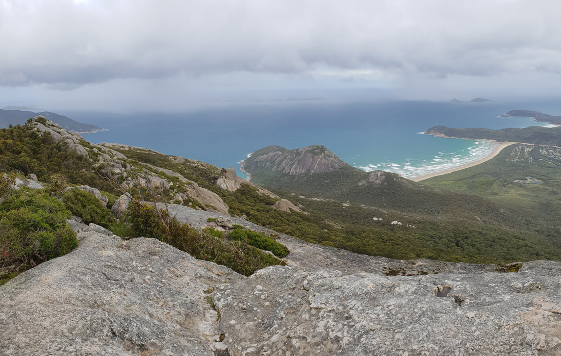
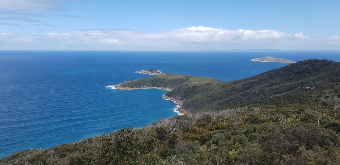
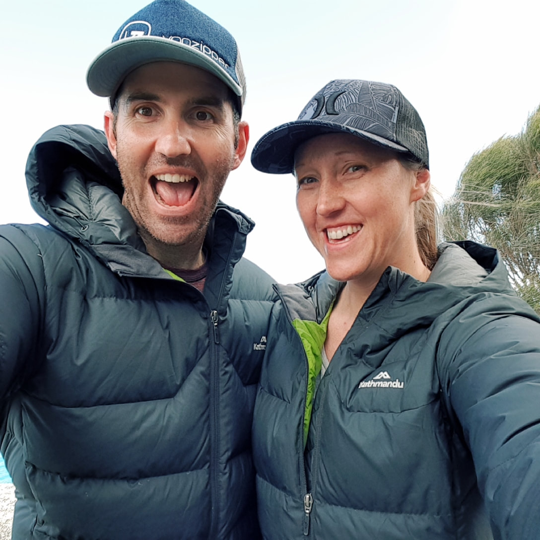
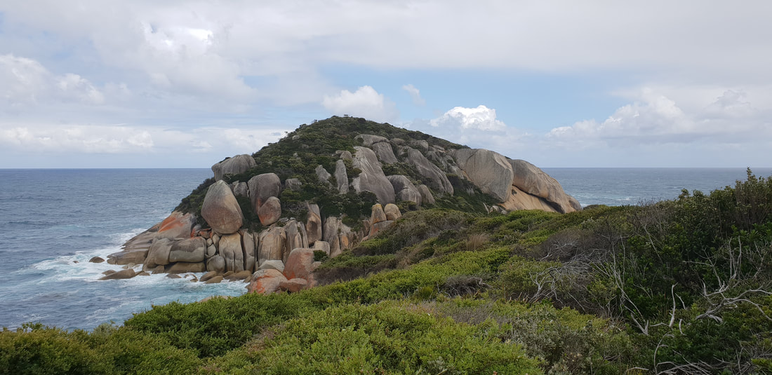
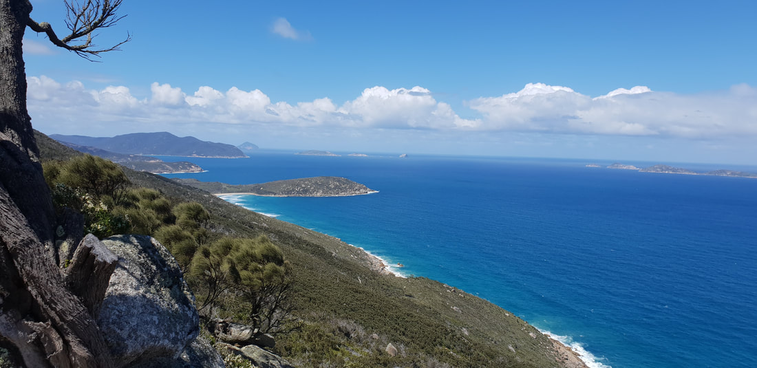
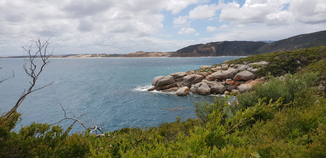
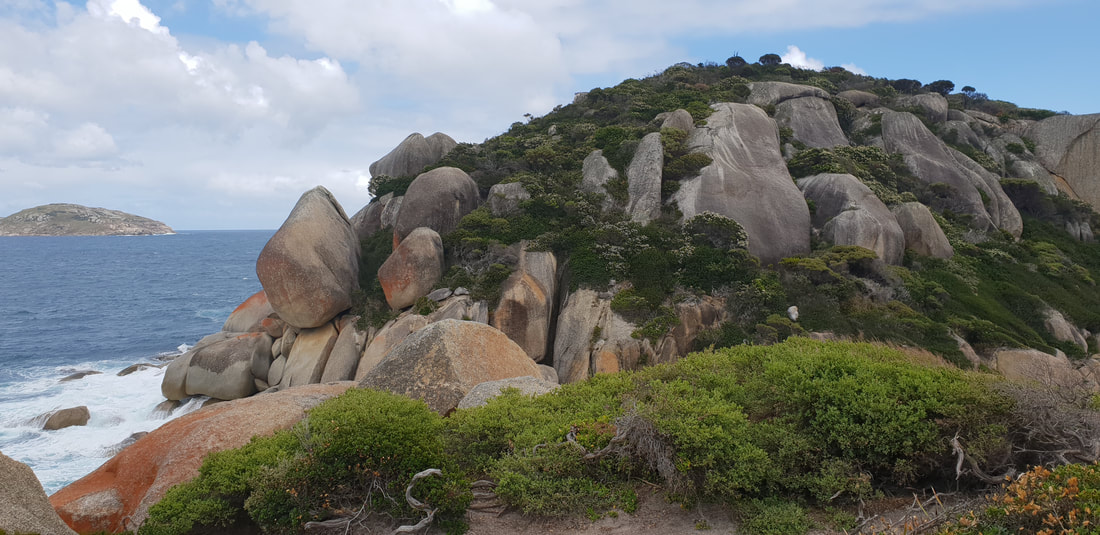
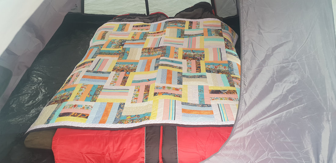
Tidal River Camp GroundCampsite 319 on 31st Avenue near the Hill Block Amenities: Our tent 'Rex' is an absolute beast, withstanding two consecutive days and nights being pummelled by 70 kph winds, inconsistent and heavy rain and scatterings of hail. Our nights were sleepless as we laid awake watching 'Rex' literally sway, collapse and retract, as wind howled around us, but we "wouldn't be dead for quids" and had an amazing few days in this pristine rugged windswept paradise. George Bass sailed past the Promontory in 1798 and presumed upon spotting the mountainous peaks, he was passing an island. It was not until later in the year when he returned with Matthew Flinders he realised what he had thought was an island was actually a promontory, a mass of protruding land connected to the mainland. Although originally named, Furneaux Land by Bass, it was renamed, Wilson's Promontory after a friend of Matthew Flinders, Thomas Wilson, a London based merchant who traded with the new colony of New South Wales. During this time the Nautilus a sealing vessel moved in on the area, it is believed culling over 9,000 seals for their fur. After this expedition the seal industry took off in the region going strong between 1800 and 1830, when declining and unsustainable seal numbers saw the demise of the industry. The whaling industry also went gangbusters in the region in the early 1800's lasting up until 1847 when again declining numbers ground the industry to a halt. By the mid 1800's Wilson's Promontory was starting to become a tourist destination for botanists and anyone keen to experience the area's rich natural beauty. Two towns were proposed for the Promontory, one called, Yanakie situated where the Promontory connects with the mainland and one called, Seaforth at Freshwater Cove. Despite the land at Seaforth being surveyed and allotments sold in 1892 neither town actually developed, although a pub was built at Seaforth that operated for many years afterwards and Yanakie has in more recent times been developed. Tin was discovered in the 1870's, but it was not until 1915 during WWI that a tin mine was constructed, operating until 1936 when the ore ran out. In 1905 Wilson's Promontory was awarded National Park status, but was closed to the public from 1941 to 1946 during WWII for use as training ground for the Australian and New Zealand armies.
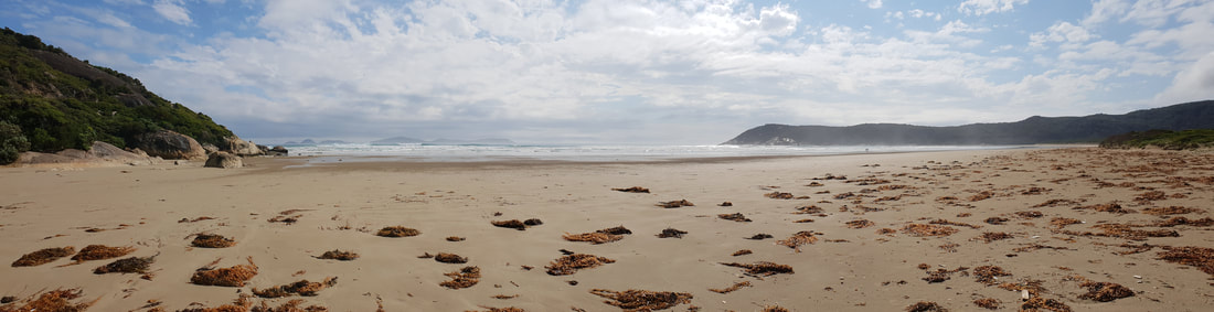
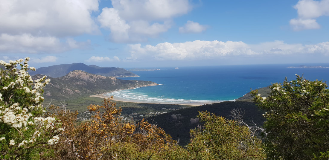
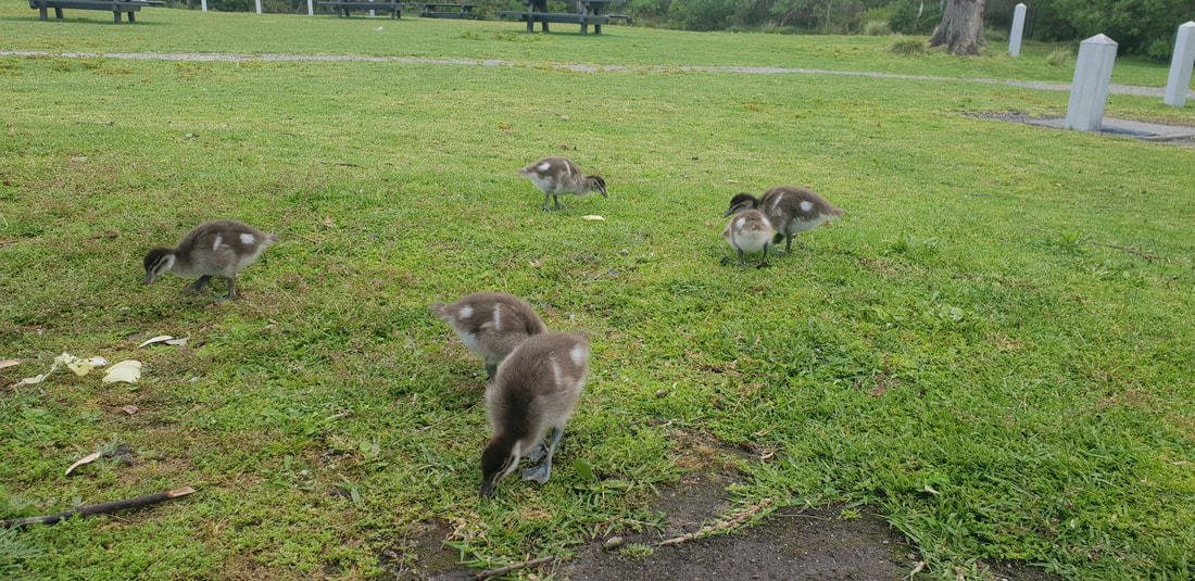
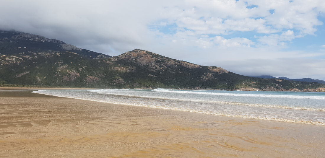
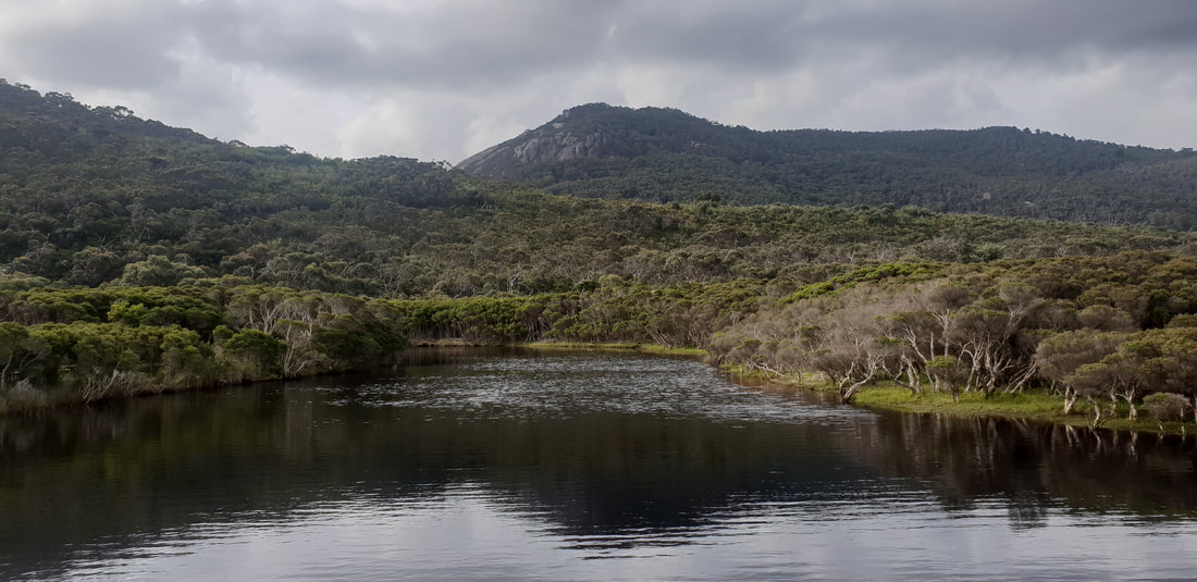 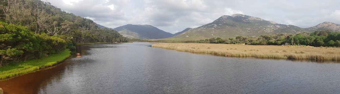 Norman Beach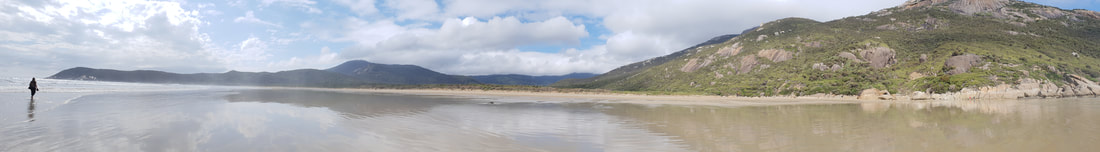
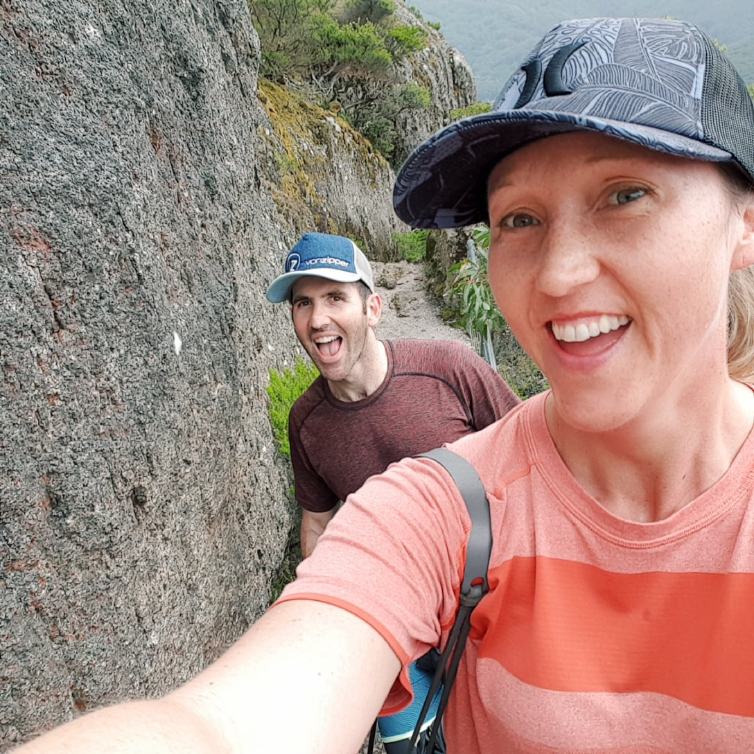
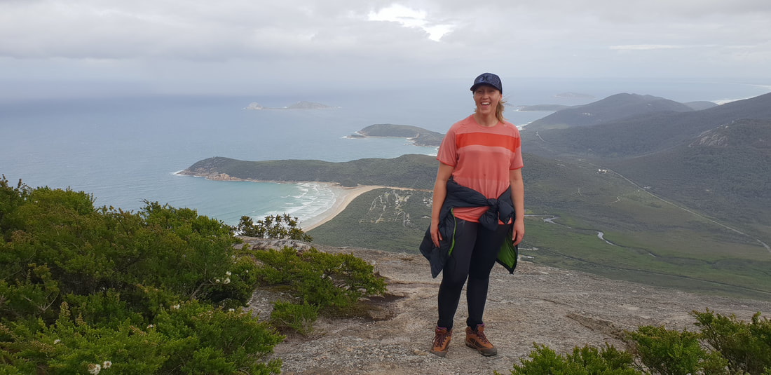
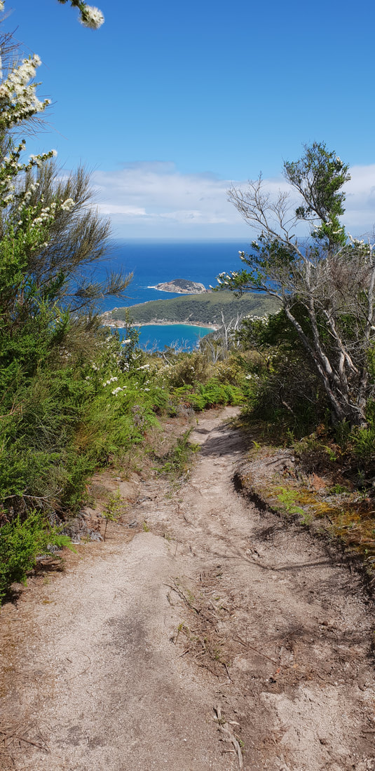
Mt. Oberon Summit Walk, 6.8kms return
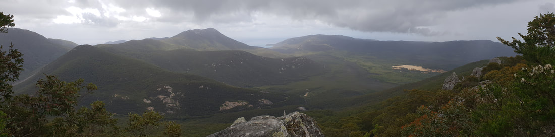
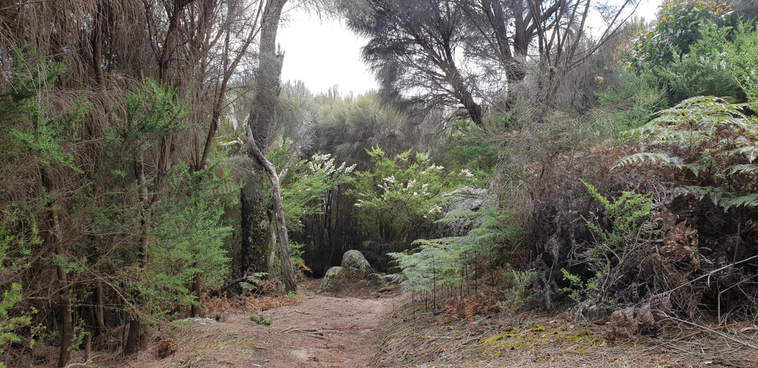
Mt. Bishop Summit Track & Lilly Pilly Circuit, approx. 10kms return, through stringy-bark forest
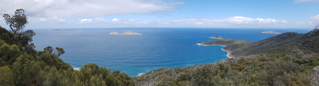
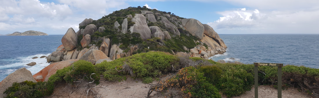
Tongue Point from Darby Saddle, past Sparkes Lookout, 11.2kms return
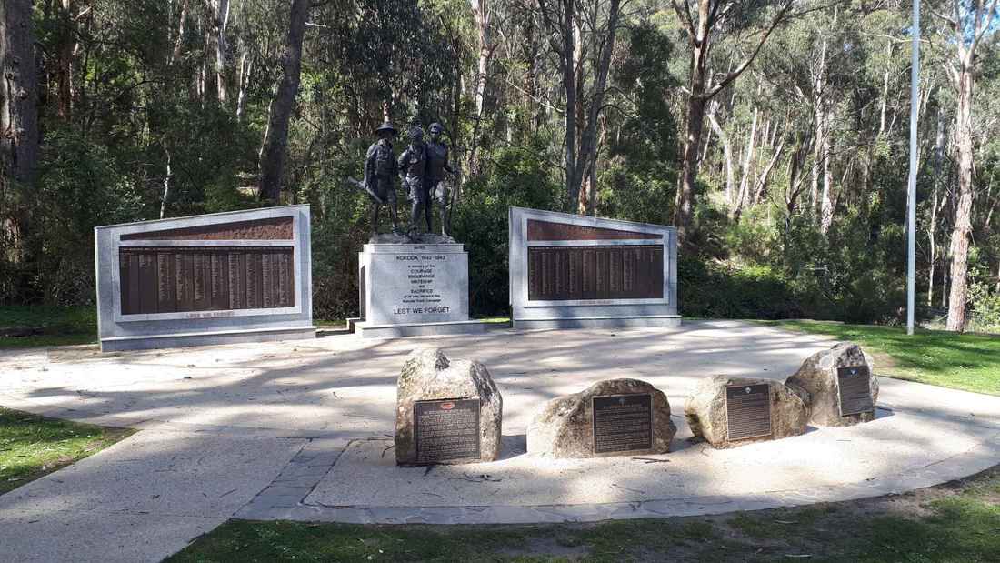
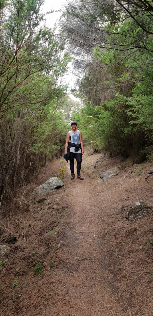
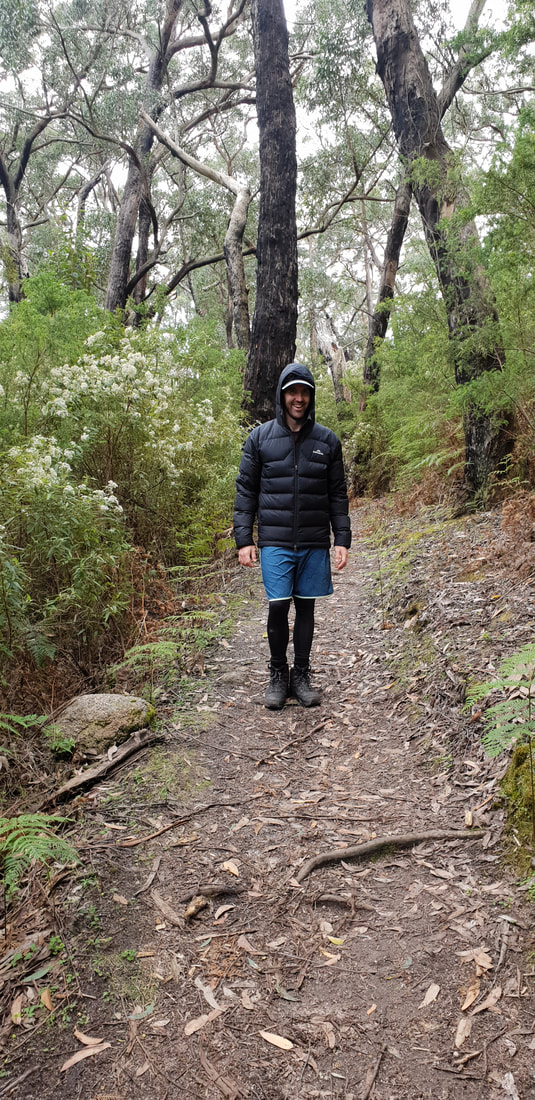
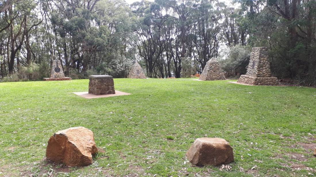
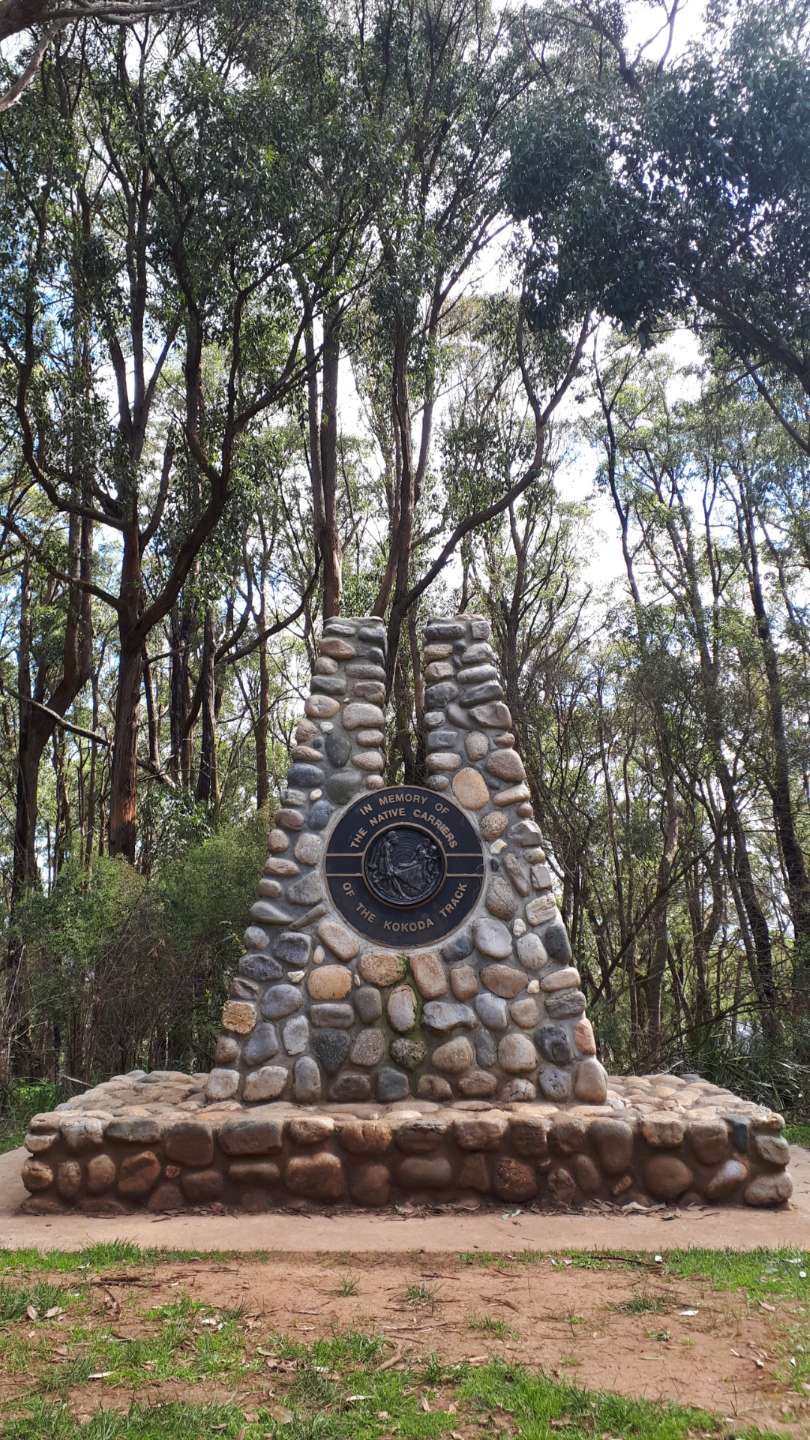
Kokoda Track Memorial WalkTo be honest it's probably more like 800 steps rather than 1,000, but the 1.5 kilometre walk up the 290 metre accent will definitely raise your heart rate and your appreciation for the diggers who fought under treacherous conditions in Papa New Guinea during WWII.
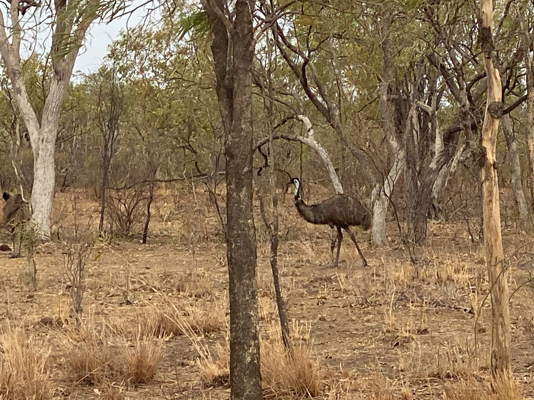
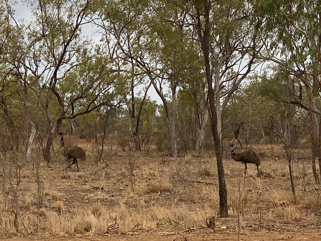
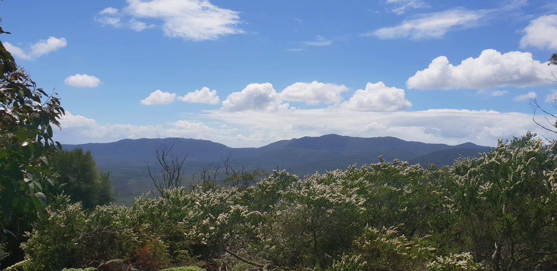
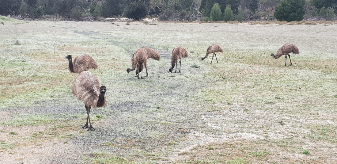
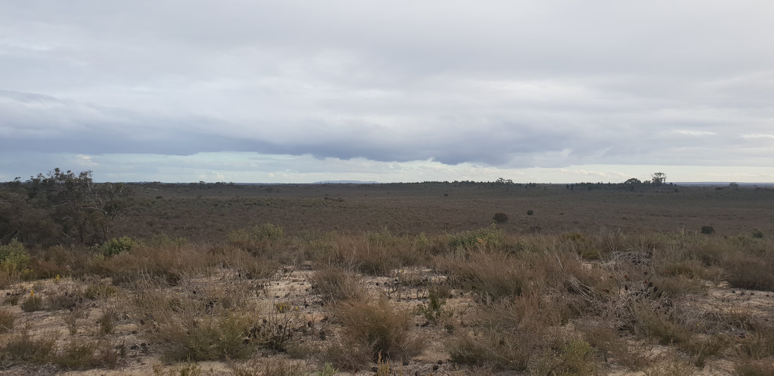
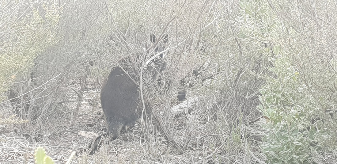
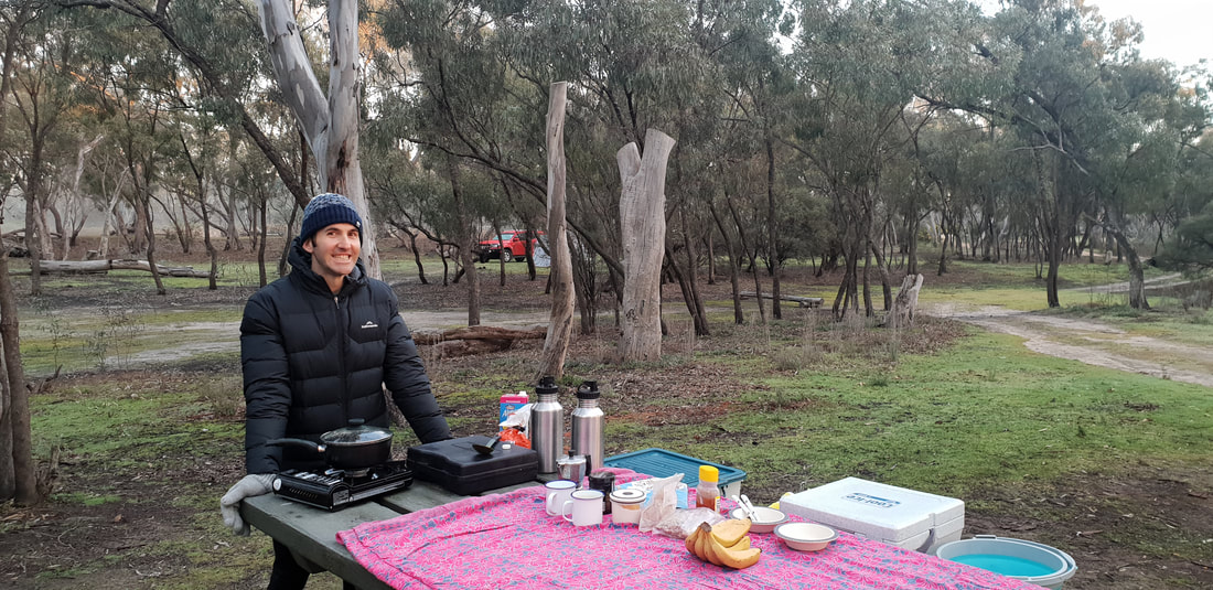
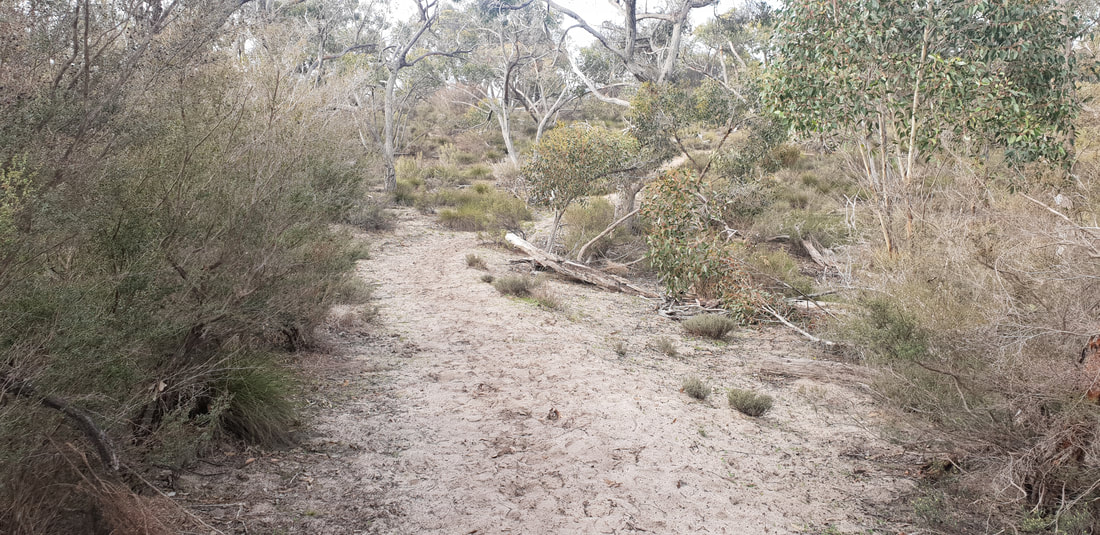
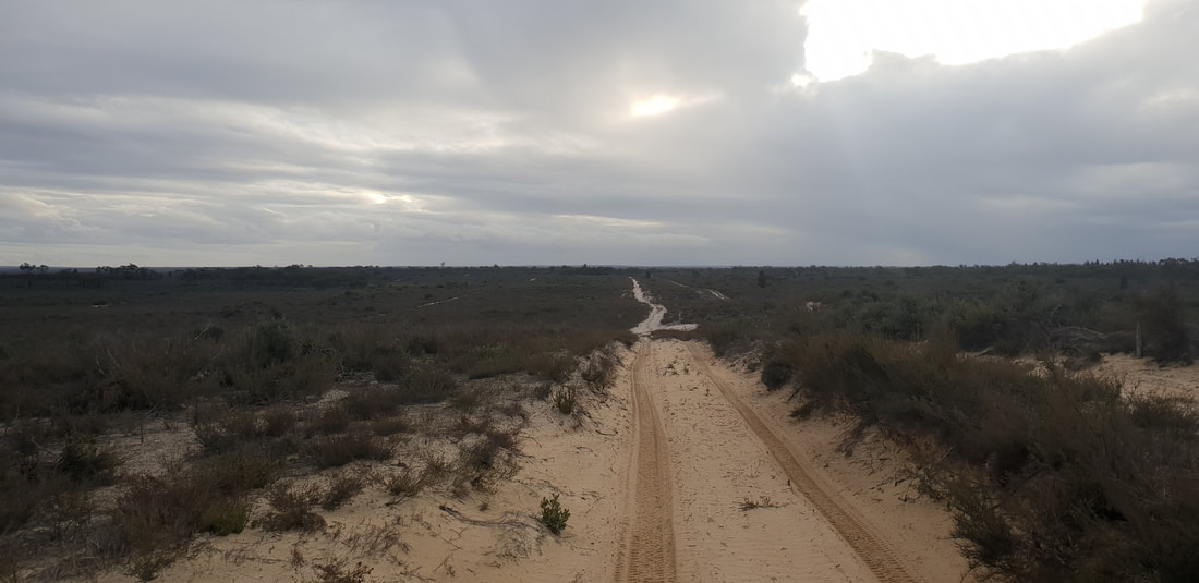
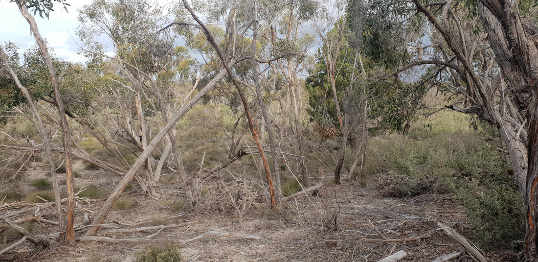
 The Little Desert National Park sits on the very west of Victoria just shy of the South Australian Border. The national park spans over 132,647 hectares with a variety of flora and fauna that survive well on the almost infertile deep sandy soil. Pure Mallee, Cypress Pine and Casuarina flourish through the region depending on location and climate. Brush Tailed Possums, Grey Kangaroos, Lizards and over 200 species of birds are the local wildlife residents of this unique landscape. We took a 4-hour drive from Geelong brushing past the Grampians National Park. We pulled in at the Big Koala at Dadswells Bridge to get our “Australian big things” fix. We pitched our tent at Horseshoe Bend, just outside of Dimboola, and then set off for a walk around Pomponderoo Hill, just about 4 kilometres from the campsite. The half hour walk took us through the sandy vegetation of the area in amongst the occasional Grey Kangaroo. The track takes you up to a hill giving you stunning views across the arid landscape, which glowed wonderfully in the afternoon sun. We took a walk down the four-wheel drive track near by, and spotted a mob of emus running across the country, it’s always quite a spectacle so see them on the move. As the sun was setting, we got back to camp to cook a feed and listen to the change of wildlife soundtrack as the day wildlife go to sleep and the nightlife of the wild rises. The highest definition cinema comes to life in the clear night sky with countless stars, and a glowing moon that leaves you wondering about other life out there. We went off to sleep being surrounded by Grey Kangaroos and Possums doing their work through the night. We woke with the sun and enjoyed breakfast in the nature, after packing our camp; we went back to the Grampians National Park to look for some walking tracks. 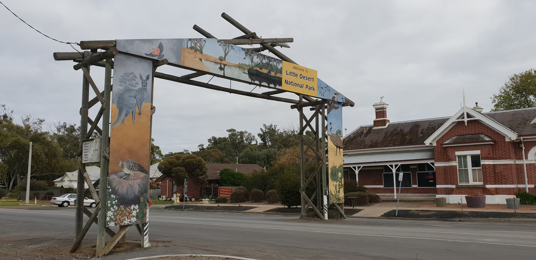
Hollow Mountain Walk at The Grampians
We took another walk along the Gulgurn Manja track, which means ‘hands of the young people’, this is a natural rock shelter with paintings of bars, emu tracks and hand prints that were stories from the Jardwadjali people.
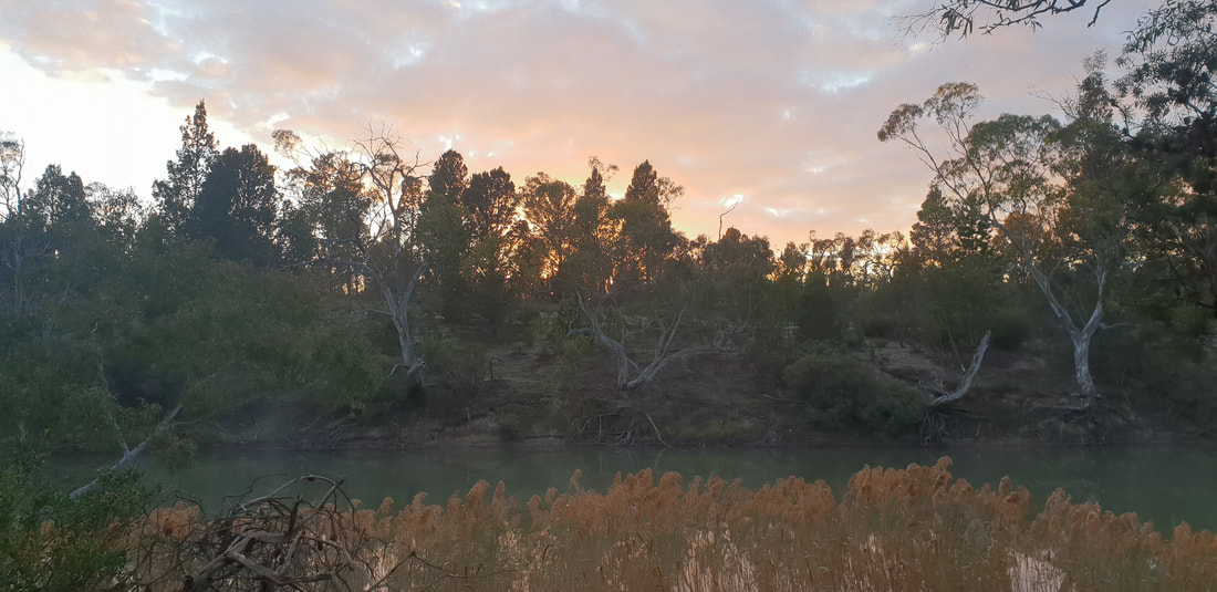
We had an awesome trip out to Little Desert, it’s the perfect place to go if you are trying to get as far away from the city as you possibly can without hearing another human soul. The peace and tranquillity was something that just stuck with us when we were there, being amongst the nature here felt like your batteries were constantly recharged. No drainage out here, just living.
|
The JourneyChoose Curiosity The Catalogue
November 2023
The Tags
All
|


 RSS Feed
