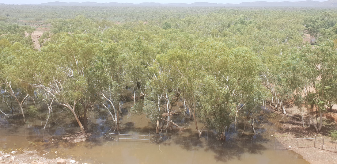
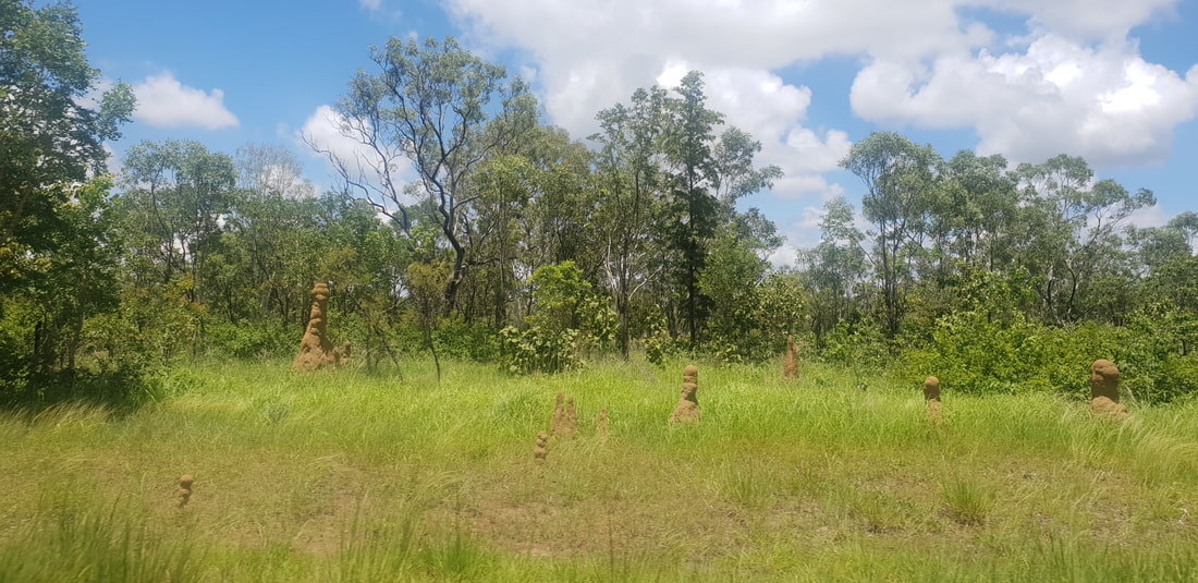
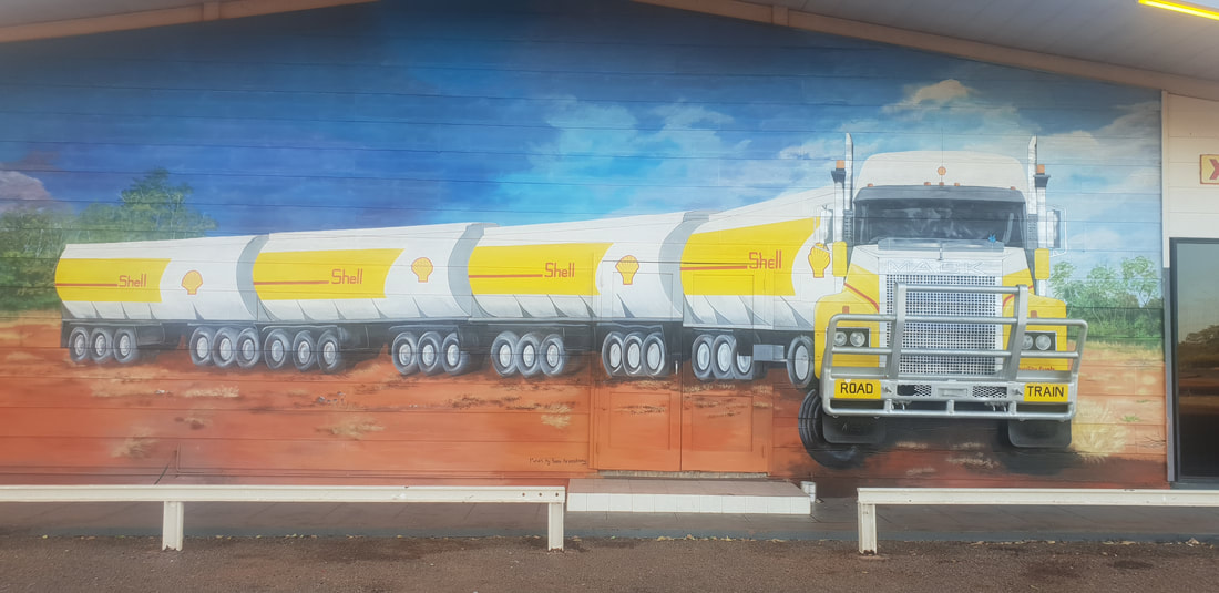
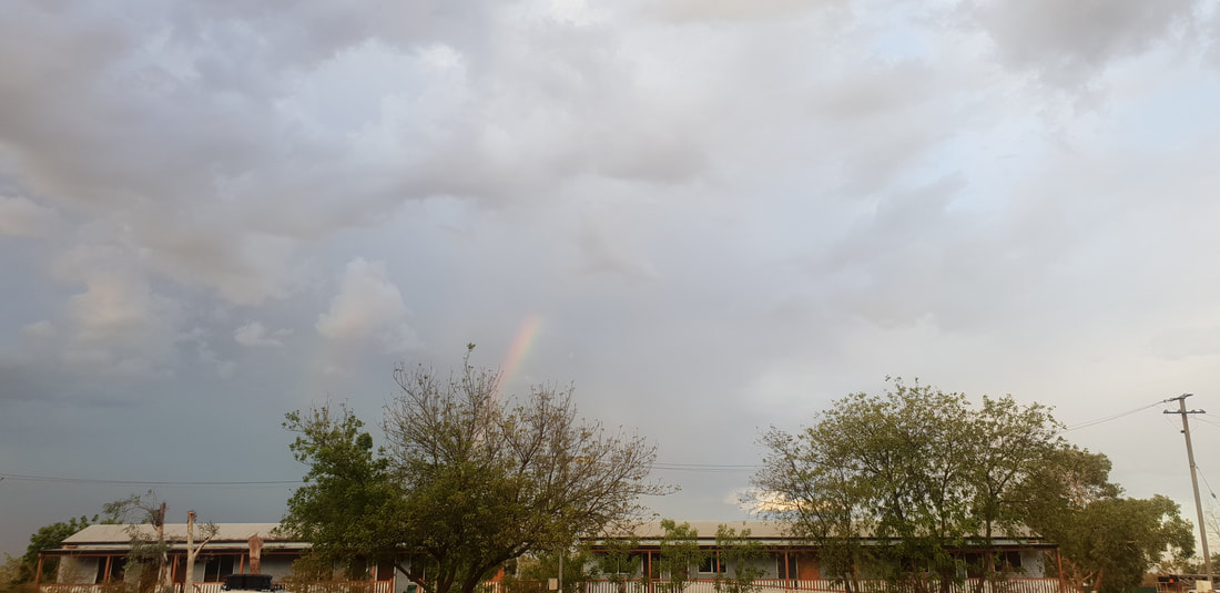
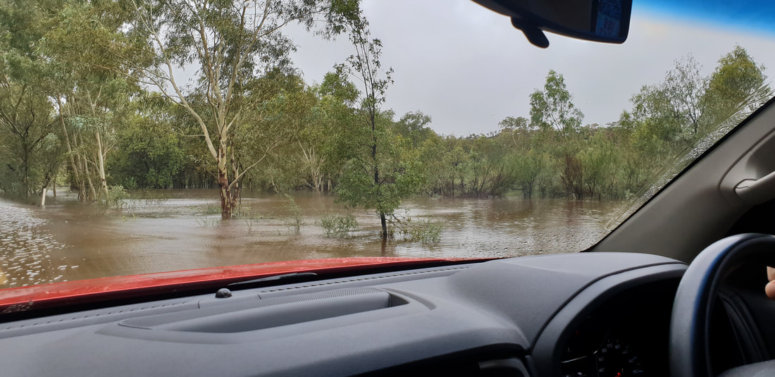
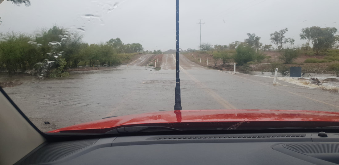
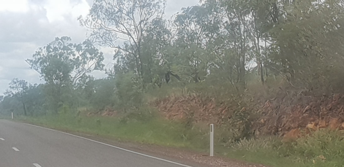
And just like that we were back...When we left Mount Isa in January 2018 I said something to the effect that I’d had a fantastic year but that I didn’t want us to come back, I said this for two reasons, one, there are so many other places in Australia to live and, two, there is a running joke in Mount Isa that everyone always comes back… Which obviously has some truth to it as, we did come back, and I was feeling energised by our decision and upbeat about what lay ahead for us in this next chapter. 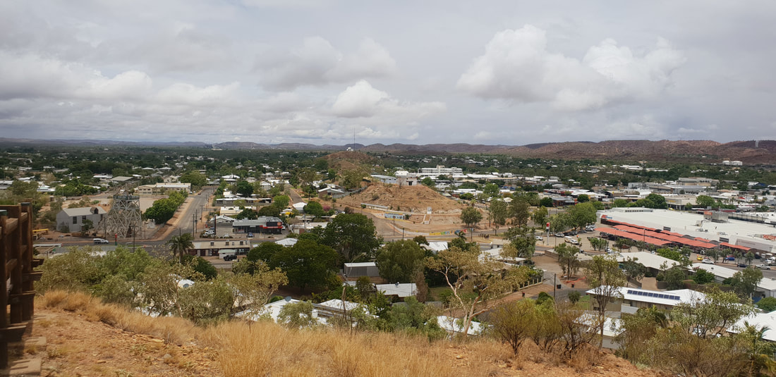 View from the famous Mount Isa lookout, looking south towards the power station, in the foreground to the left of the image, the Hard Times Underground Mine tourist experience 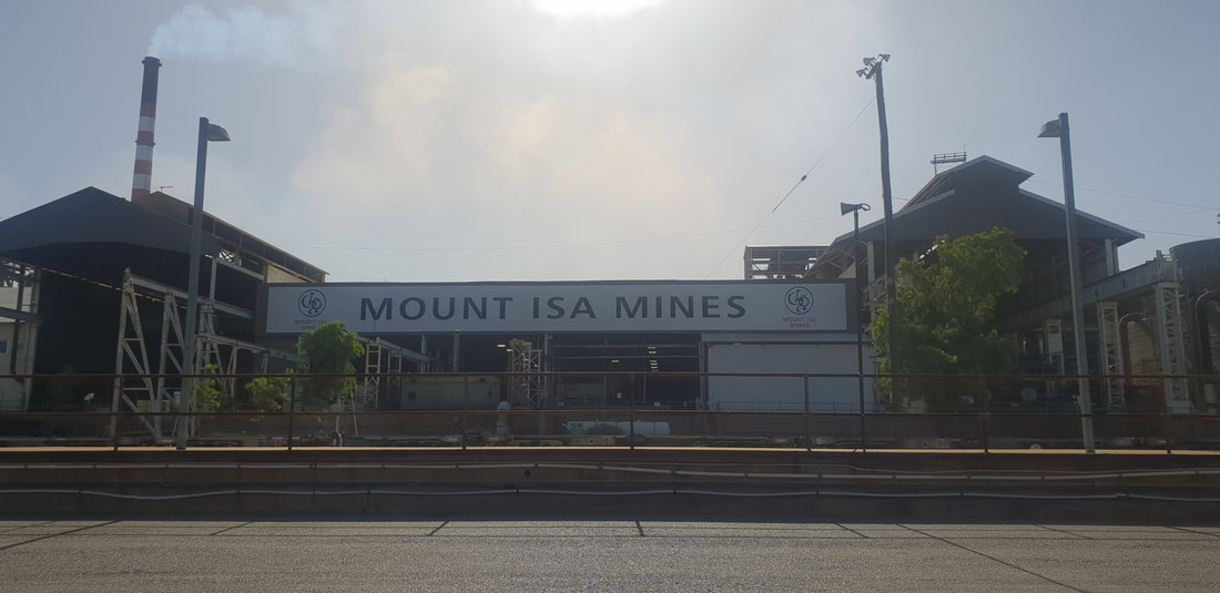 Inhale sulphur, exhale hopes, dreams, aspirations... 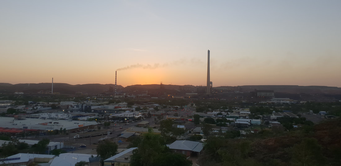 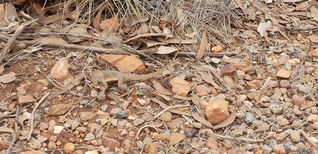 Lophognathus, commonly known as the Tata Lizard because they appear to "wave" with their front leg Major Flooding EventOnly about a week or so after we had arrived, having relocated from the Lake Moondarra Caravan Park, back to our original site, number 57 at the Sunset Caravan Park, we moved Florence once again, but this time to the safety of Shovel’s parent’s house. Classified as the “2019 Monsoon Trough Rainfall and Flood Event,” the flood was a significant and devasting disaster that impacted communities throughout North-western Queensland, the Gulf Country and even places like Townsville on the coast, covering an estimated 100 million hectares. The Flooding Event killed over 500,000 head of cattle and 30,000 sheep and countless native species and wiped-out vegetation as dry soil turned instantly to mud, gushing into the Gulf of Carpentaria from the Flinders, Cloncurry, Leichardt and Norman Rivers. Flowing parallel to the Sunset Caravan Park in Mount Isa is a tributary of sorts from the Leichardt River that was rising with the continued rains, quickly. The Caravan Park didn’t flood as the riverbank was high enough to withstand the deluge, but we felt grateful for the opportunity to retreat for a few days from the wet. 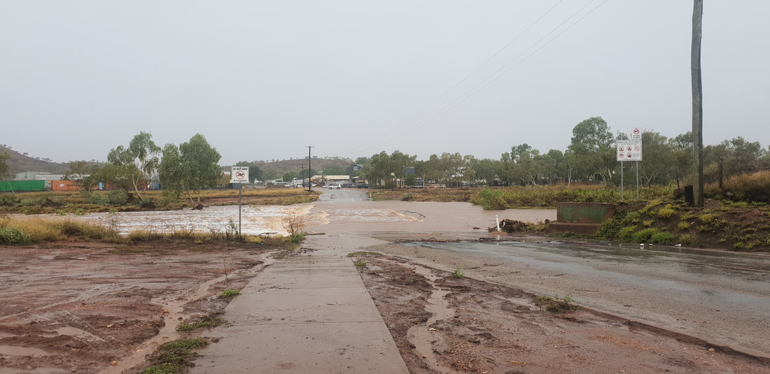
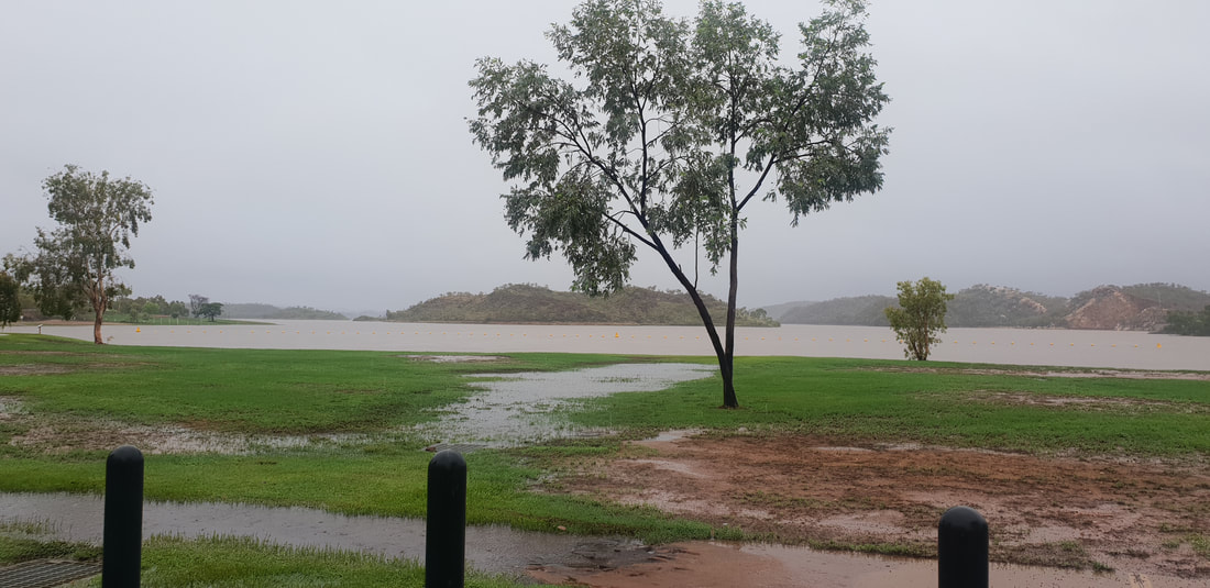
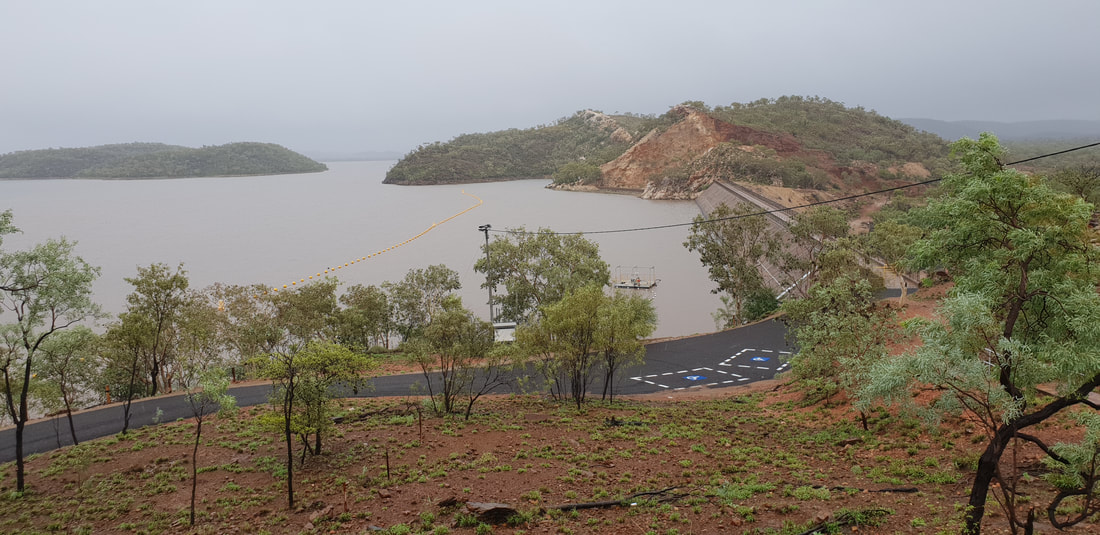
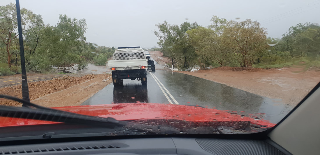
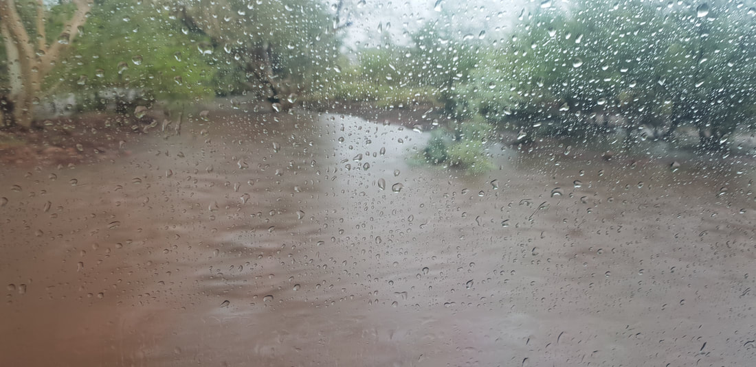
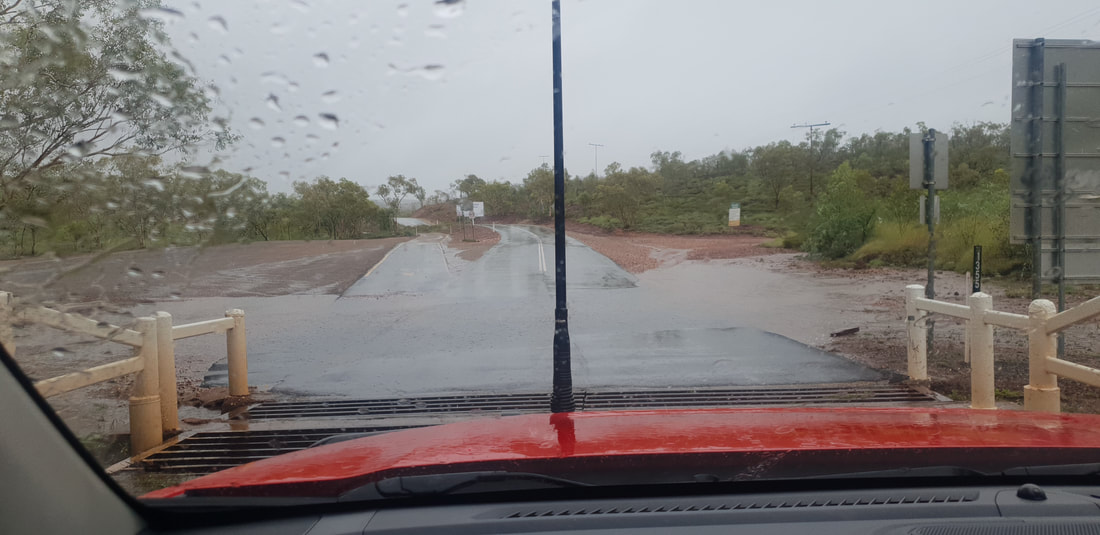
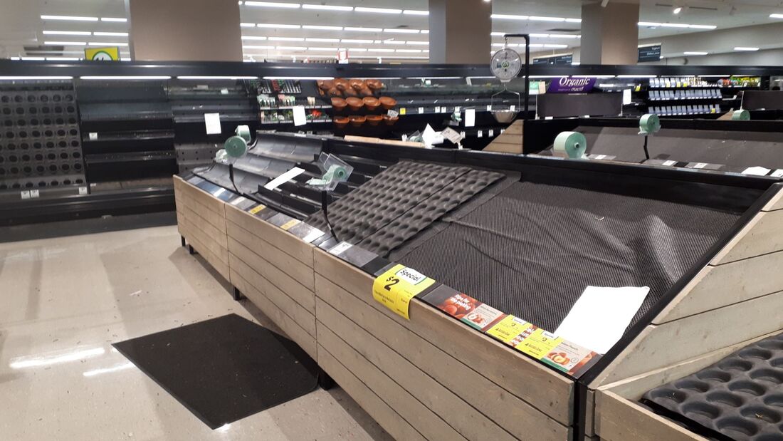 No fresh produce at the Mount Isa Woolworths during the January 2019 Flooding Event. Everyone else was doing it... When it rains it pours, is a true idiom of the rainfall in Mount Isa, which has on average only about 430mm per year, concentrated mainly in January. With the rain, the landscape instantly changes, and it is not uncommon to wake in the morning to road closures due to flooding from overnight rains. But as it doesn’t rain often in Mount Isa, when it does, it’s a spectacle, and everyone gets out to have a look at the flooded roads or hoone around in the newly created red outback mud. During the intense rains of January 2019, the drive out to Lake Moondarra, Mount Isa’s main dam, which supplies the town’s drinking water and is a recreational oasis for ski boaters and fishing people, was like peak hour traffic in a capital city. We were bumper to bumper as cars navigated the flooded bitumen. Driving through flood water is exhilarating and anxiety inducing all at the same time, it definitely shouldn’t be encouraged and the moto, “If it’s flooded, forget it,” does ring true, but the release of endorphins, making it unscathed to the other side, is shall I quietly say worth the frayed nerves…
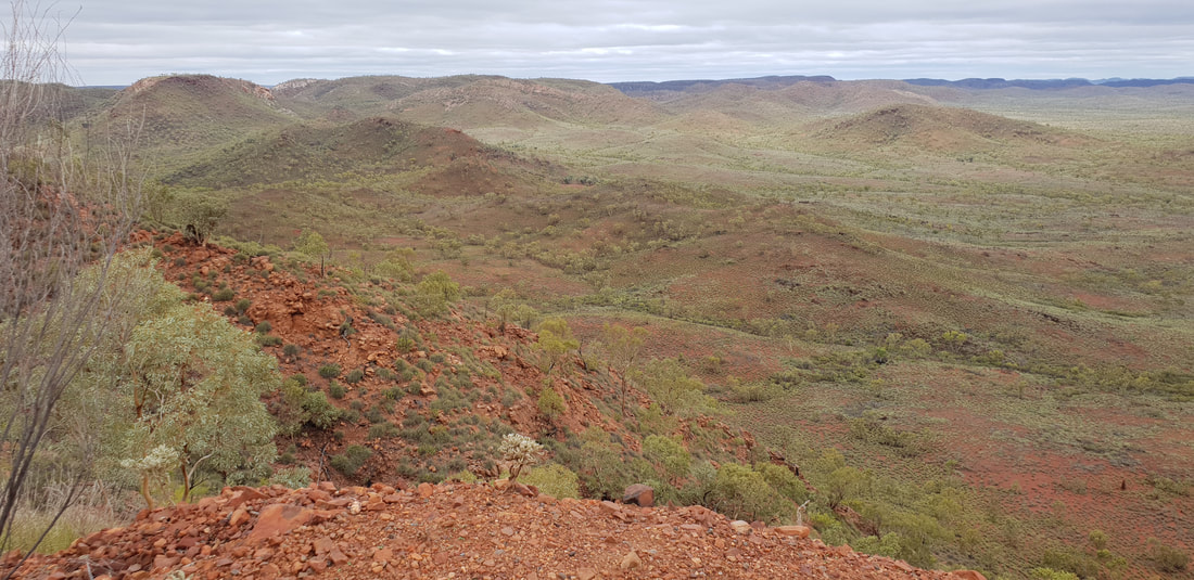
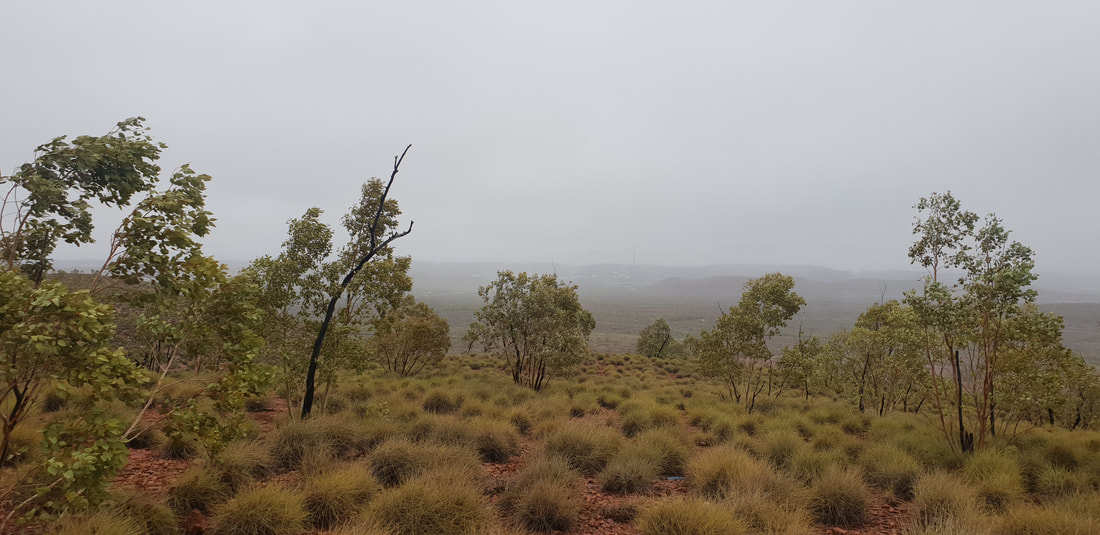
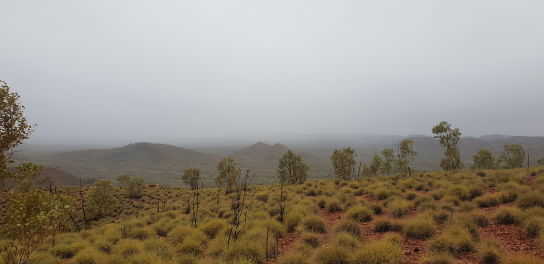
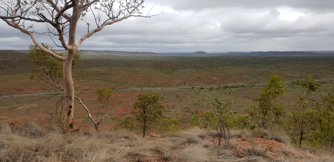
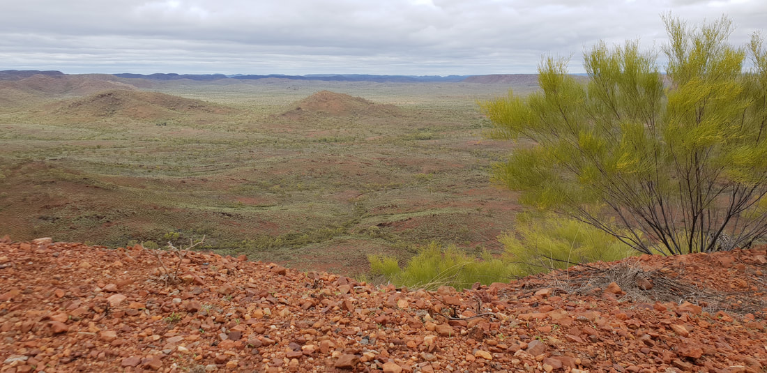
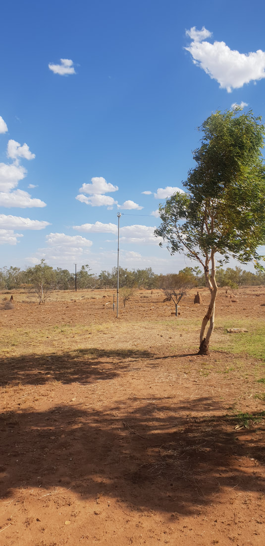
    Telstra HillUpon leaving Mount Isa, as we traversed the east coast of Australia and spent the winter months in my hometown of Geelong, my thoughts of our year in Mount Isa would often be of Telstra Hill. During the ordeal of our second miscarriage in late 2017, Telstra Hill became a place of solace and reflection, and I treasured the open, unobscured views, juxtaposed with a feeling of being engulfed by an ancient natural world, humbled by the enormity of the landscape, me a tiny molecule in its extreme vastness. Enduring Telstra Hill I would often curse the washed out, pothole ridden, worn bitumen as I stumbled on loose rocks that had fallen from the cliff-face of the manmade road, heaving to take a breath without inhaling a fly that would often result in the infamous fly cough… if you know, you know… the tension induced by mining town life would soon evaporate, giving way to acceptance, a feeling of tranquillity, my soul nourished by the experience…
 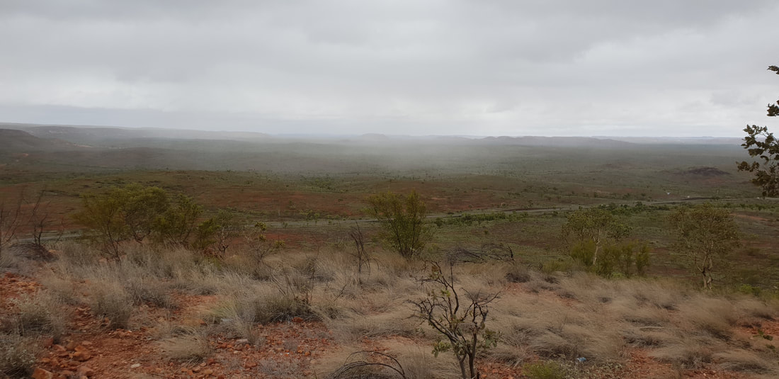 Watching a rain cloud move across the landscape 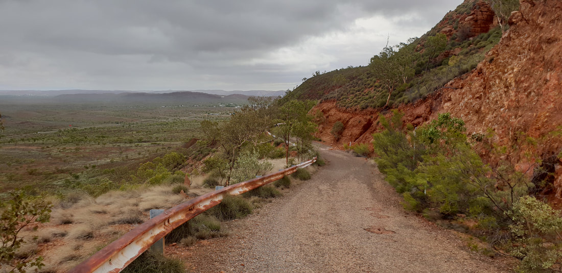
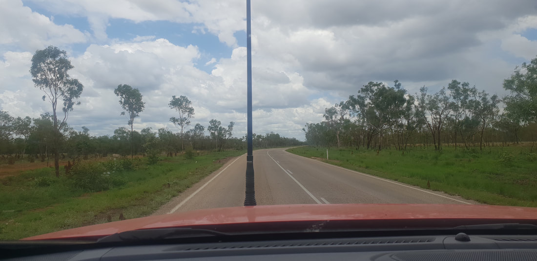
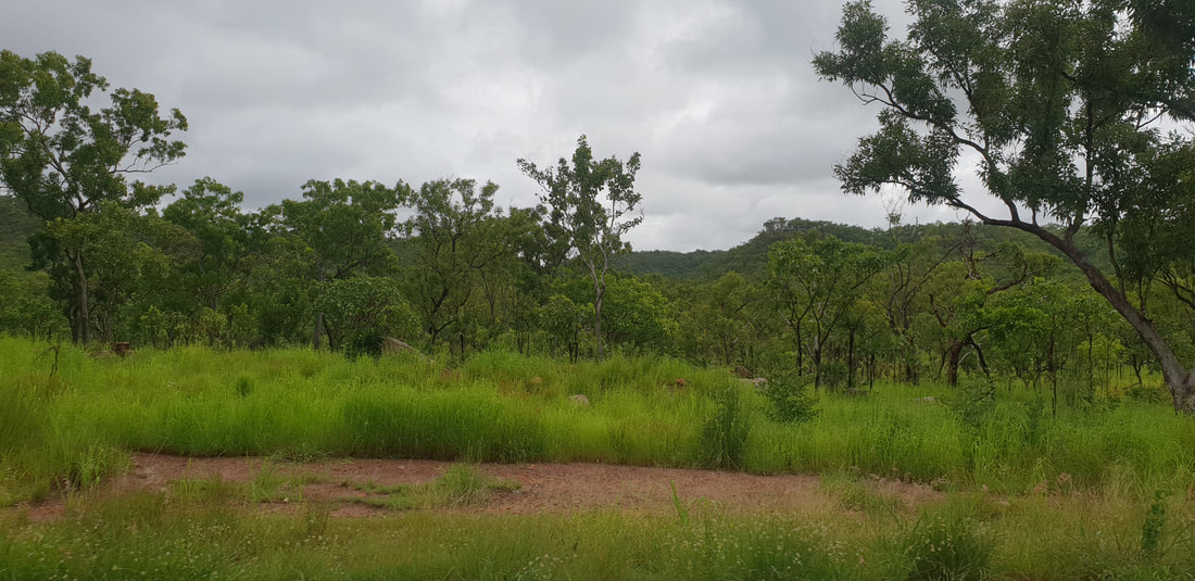
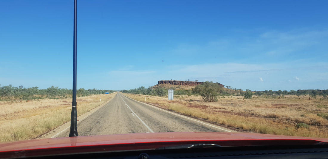
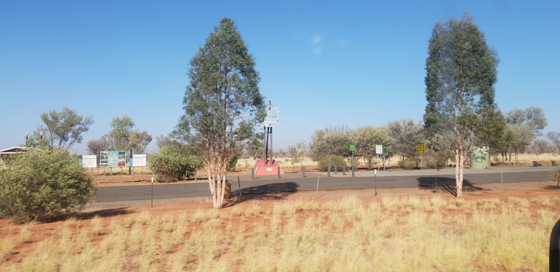
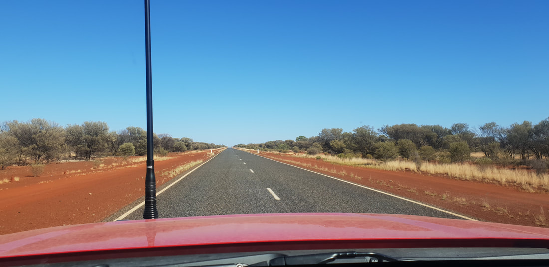
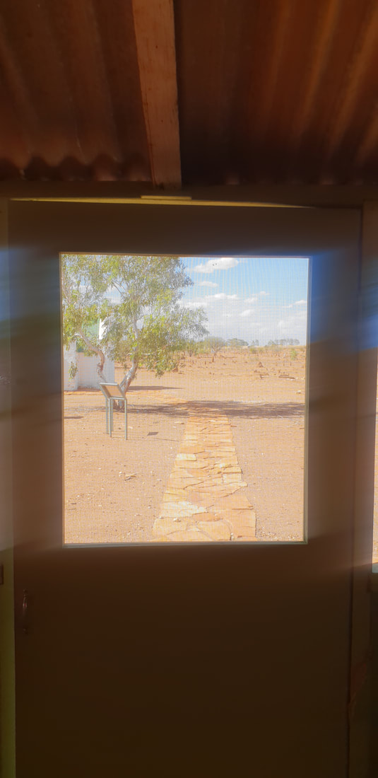
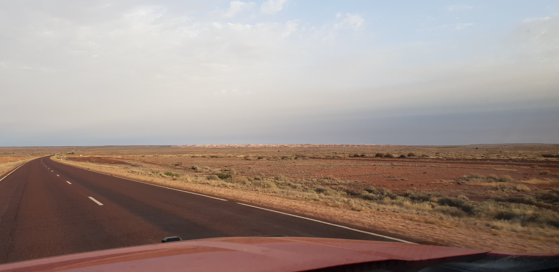
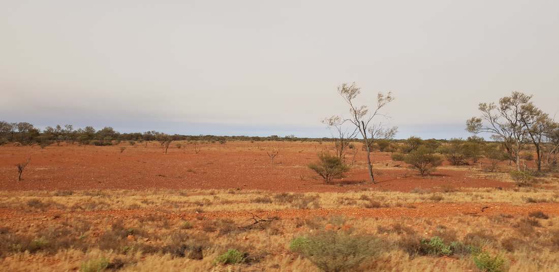
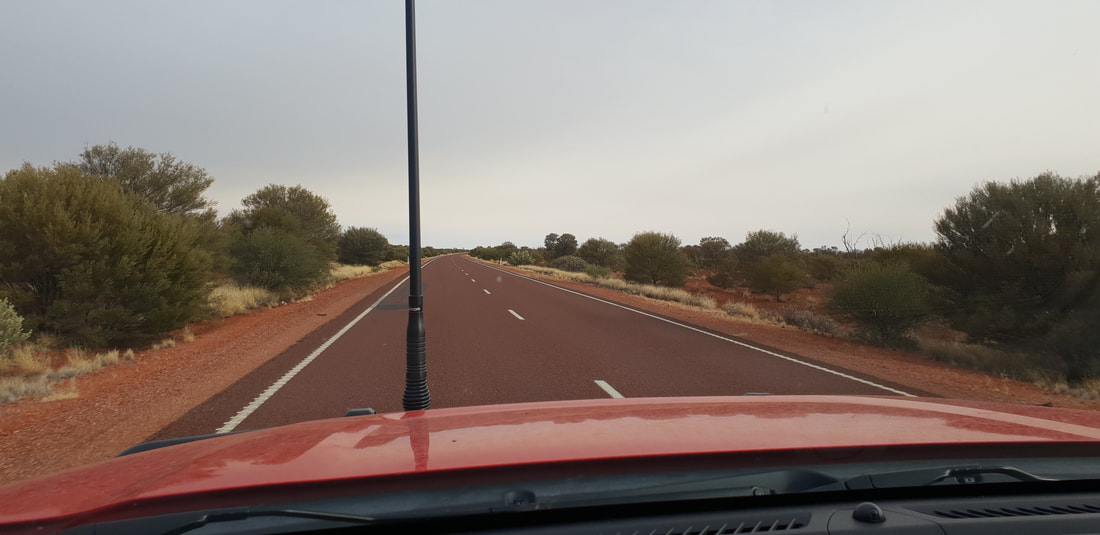
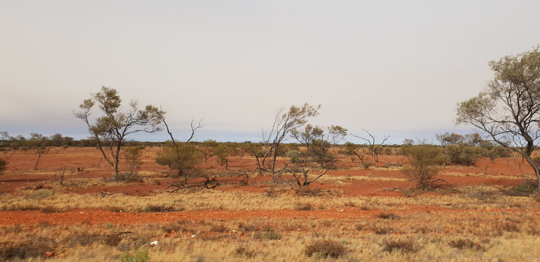
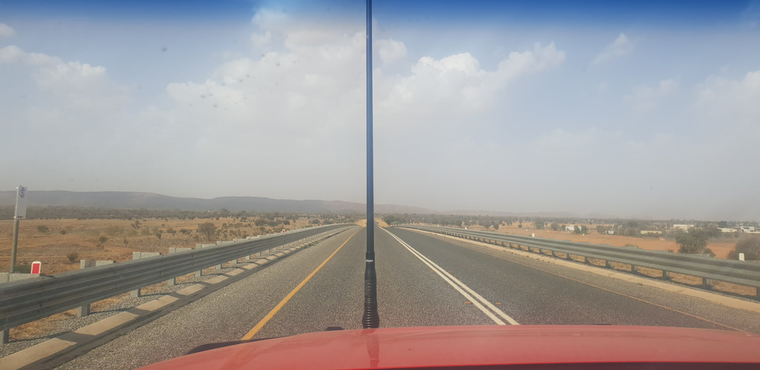
Prior to leaving Mount Isa in January 2018 Shovel and I, during a stormy night, took a few redundant caravan items to the top of Telstra Hill. We called it the “Guerrilla Garden of S & G” and this is what remained a year later… 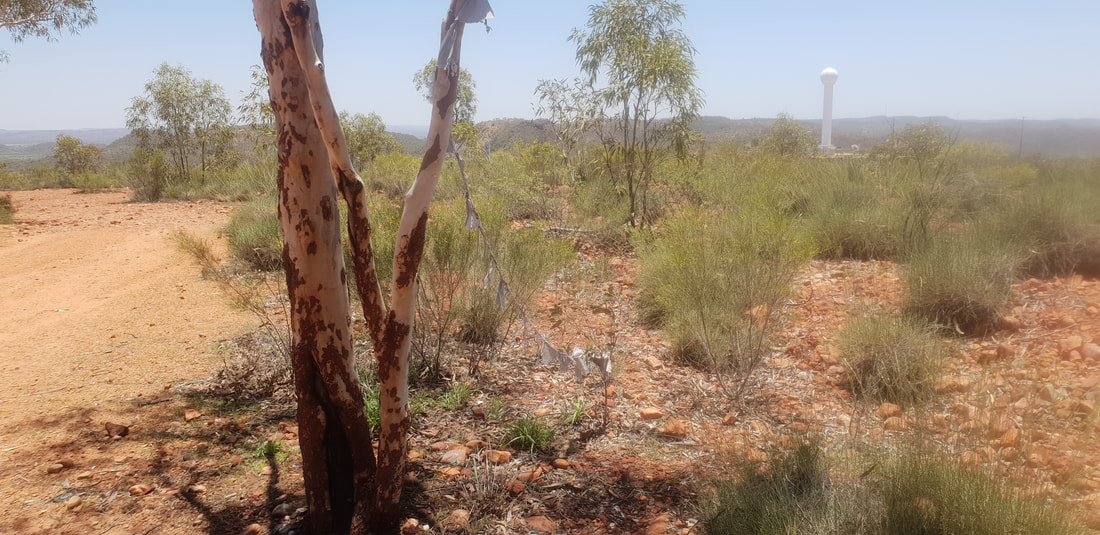 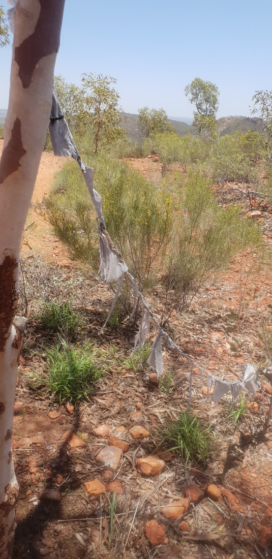 It's about 640kms from the Threeways Roadhouse to Mount Isa along the Barkly Highway and, we chose to smash it out in a day as Shovel had to start the ball rolling so to speak on his new job and I needed to find work. Honestly this stretch of road I believe was the hardest to drive in all of our travels around Australia and by this, I mean the oppressive remoteness… The terrain is flat, there are few if any trees and the view out of the car window is desolation, a dusty haze, yet despite the similarities to the Nullarbor Plain, the isolation hits different. On the Nullarbor (Eyre Highway) the trials and tribulations of life simply put, stop, and you relax into the journey feeling disconnected from time, it’s joyous, whimsical in fact. The Barkly Highway however, is foreboding and endless, devoid of landmarks, the sun’s rays intense through the car windscreen, there is no retreat. Despite the 130km speed limit we were towing Florence and were therefore restricted to 80kms, yes, feel our pain, the slow pace contributing to our feeling the straight flat stretch of tarmac would never end. But, it did end and we rolled into the Lake Moondarra Caravan Park later that day ready to begin our next chapter. 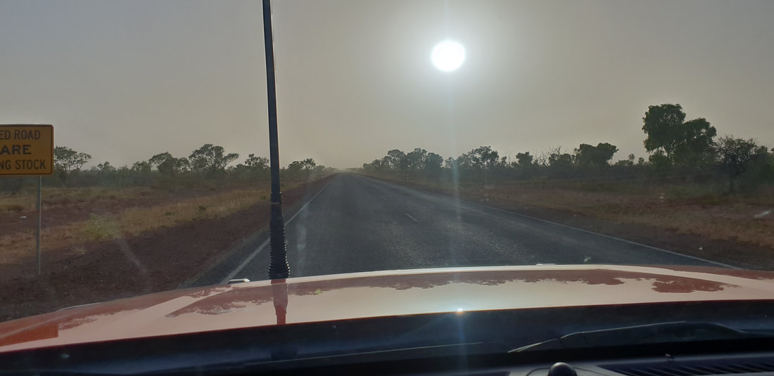  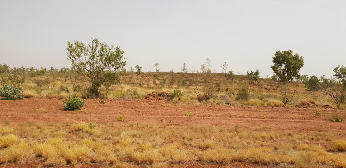 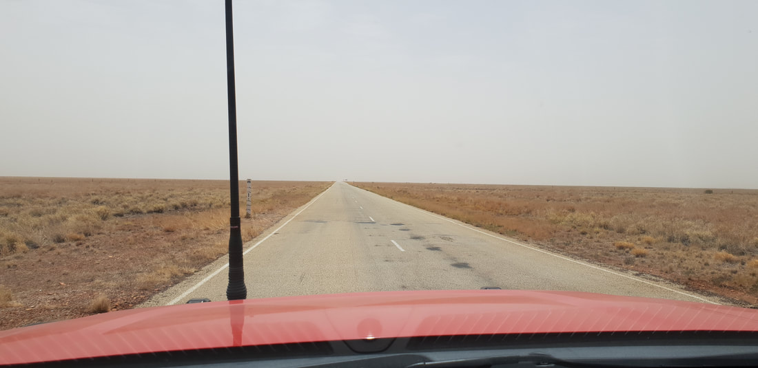 
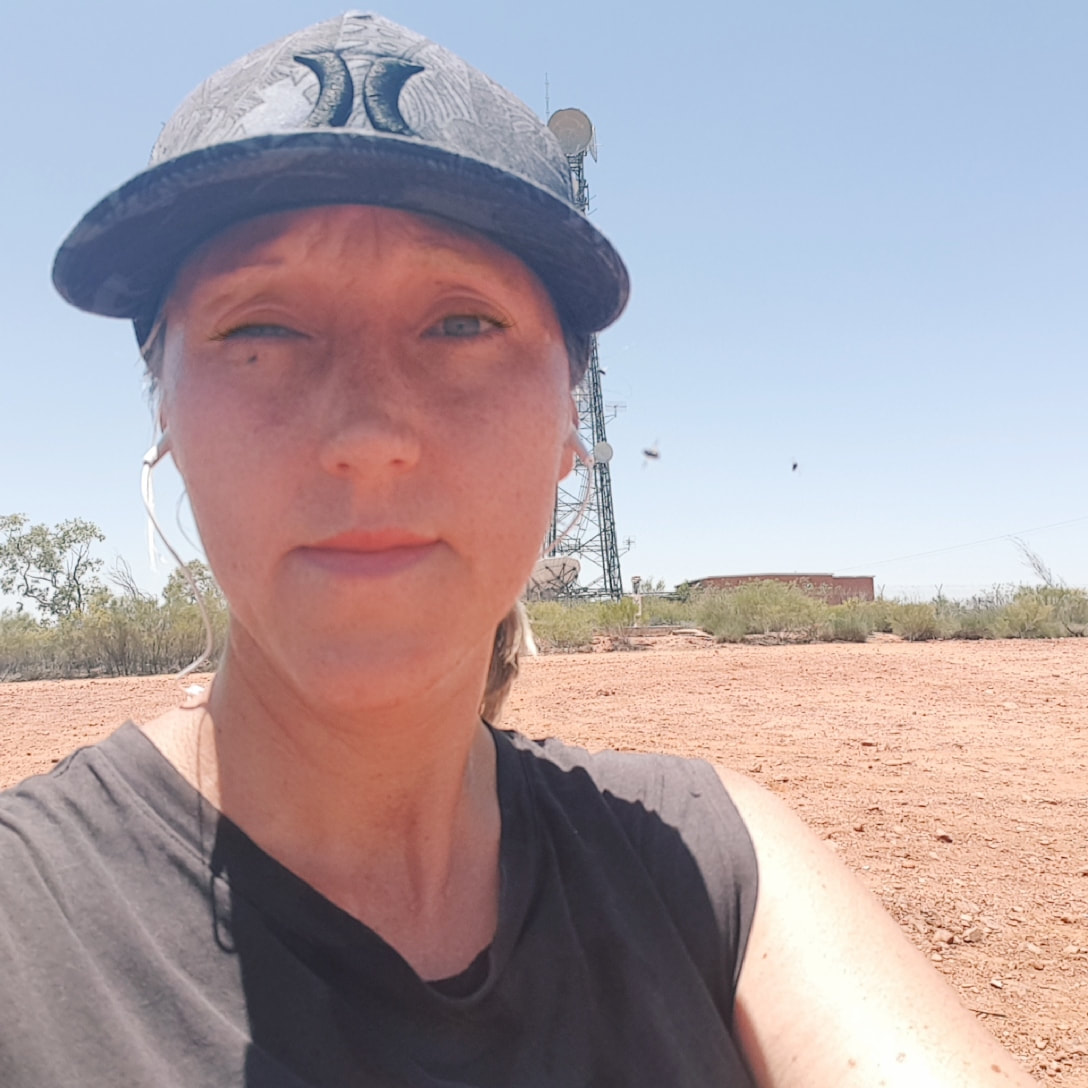
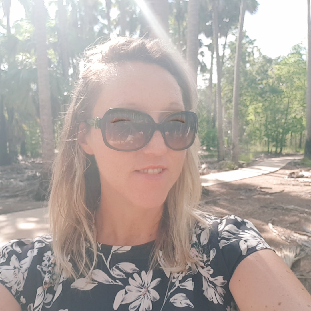
We were headed back to Mount Isa just over a year had passed since we’d left and to be honest I was feeling pumped, admittedly I’d missed the “quirk” of the remote desert outback boom town, and in my elation was throwing around wild predictions that I could live there for fifteen years… That was definitely not a typo I did actual believe we could survive in Mount Isa in outback Queensland, 900 odd kilometres from the coast for longer than a decade… and by we I actually mean me, Gumby. I had no concern the Shovel could do it, after all he was born and bred there, but the reality was and still is we are natural born drifters…
LarrimahDriving through or past Larrimah however you’d like to approach it is one of those ‘blink and you’ll miss it’ type of towns, located about 80kms south of Mataranka the town of twelve now eleven people has a pub (of course if does) and a house advertising homemade pies. On our way north to Darwin we pulled over in front of the pie selling house, lured by the audacious signs made from what appeared to be cardboard with hand painted letters that tempted us to try the ‘best pies in town’… The café/store/house known as Fran’s Devonshire Tea House, appeared however to be closed, so disappointed we got back into Cherry and continued our journey but not before noticing another sign advertising that the pub also sold the best pies in town. This sign erected on the other side of the road opposite the pie selling house was accompanied by a newer looking placard, a missing person sign. Intrigued we Googled ‘missing person Larrimah’ to discover the twelfth member of the tiny community had gone missing two years earlier in December 2017… dun dun duuun! Paddy Moriarty, aged 70 and his dog Kellie, were last seen leaving the Larrimah Hotel on a quad bike at dusk on 16th December 2017. They have not been seen since and their disappearance remains unsolved. In 2018 journalists Kylie Stevenson and Caroline Graham created a six-episode podcast called, Lost in Larrimah, which became the basis for a book, Larrimah, released in 2021. We downloaded the pod and listened intently to the intriguing story of this tiny town and the secrets harboured beneath. On our way south, as we passed back through Larrimah we didn’t attempt to stop again at Fran’s Devonshire Tea House, we expected it would again be closed and, upon listening to the pod suspected it hadn’t been opened for a while. A feud with Paddy her closest neighbour who lived directly opposite, had Fran pinned as the number one suspect in his disappearance, which sparked rumours her pies contained the meat of the missing man! 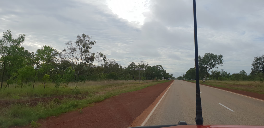 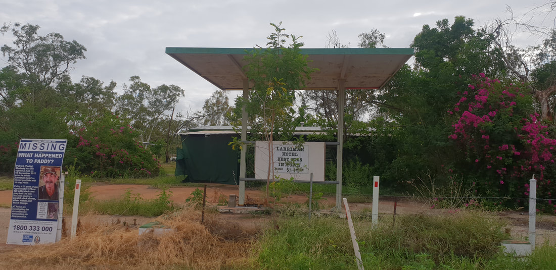   Three Ways Roadhouse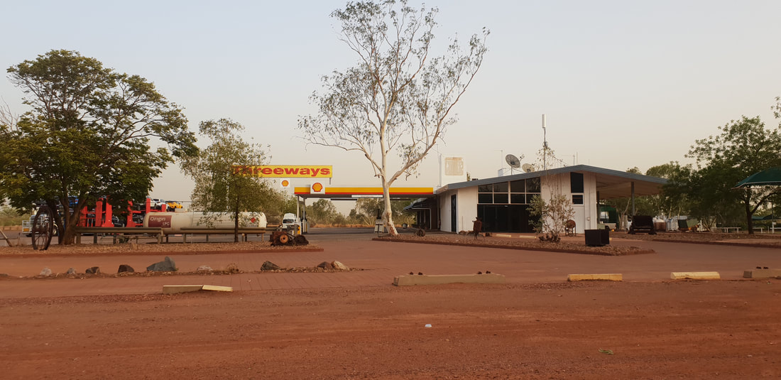 Shovel had a job offer back in Mount Isa, so we departed Darwin soaked in summer rains and ventured south back along the Stuart highway following our previous route, taking a short lunch break at Pine Creek.
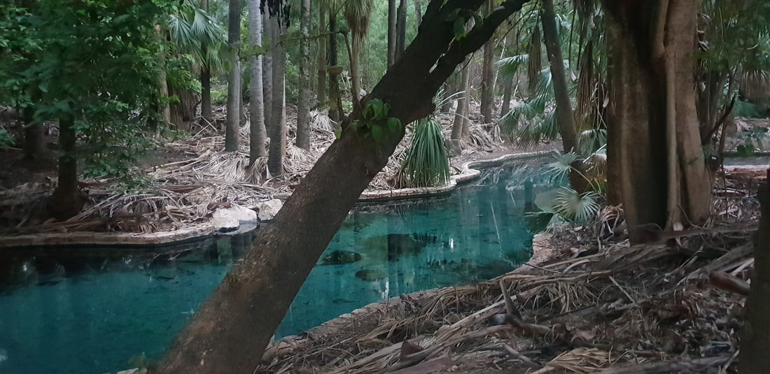
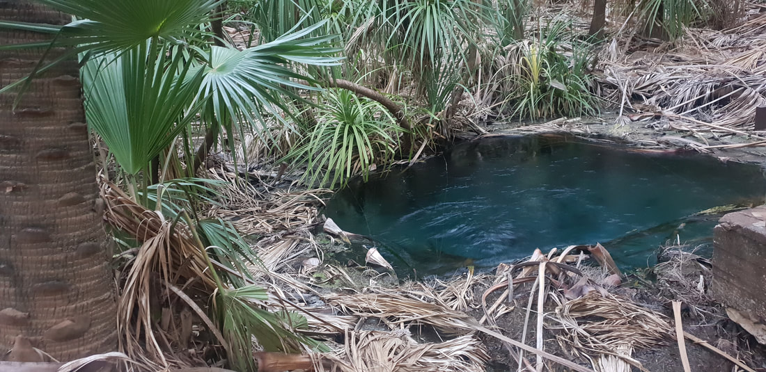
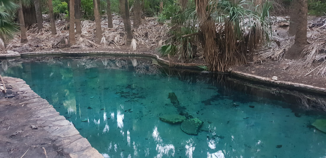
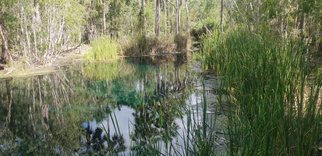
  Mataranka Thermal SpringsOur first night’s stop was Mataranka, and this time we stayed at the Mataranka Homestead located at the “famous Thermal Pools.” A homestead constructed in 1916 on a sheep station, was turned into the tourist attraction experienced today by Victor Smith after he returned to the area in 1946 having visited the springs during WWII. The springs are situated near a replica of the old Elsey Homestead, which was constructed for the film, We of the Never Never, based on a book published in 1908 of the same name by Jeannie Gunn. Gunn arrived in Mataranka with her husband, Aeneas in 1902 to manage the Elsey Station but she left shortly after in 1903 following Aeneas’ death. The territory remained with Jeannie and the novel based on her experiences at Elsey became a best seller, which was subsequently turned into two movies (1950s and 1980s). The phrase ‘Never Never’ refers to the notion of being somewhere hopelessly distant and was synonymous with isolation and doing it tough. Henry Lawson coined the term in his 1901 poem, The Never-Never Land, which captured the sentiment of loneliness evoked by Gunn. This is an extract: Where lone Mount Desolation lies Mounts Dreadful and Despair- ‘Tis lost beneath the rainless skies In hopeless deserts there; It spreads nor-west by No-Man’s Land Where clouds are seldom seen To where the cattle stations lie Three hundred miles between.  
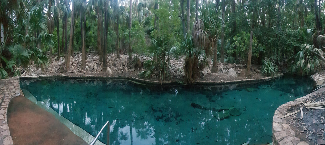 
Mataranka Springs is part of the Cambrian Limestone Aquifer (CLA) one of the largest aquifers in Australia (about 1.5 times the size of Italy) fed from two CLA groundwater flow paths, the Daly and the Georgina. In studies conducted at the Mataranka Springs Complex by the Australian Government CSIRO in late 2019 scientists discovered radiogenic helium, which indicated a third very old groundwater source (perhaps hundreds of thousands of years old) could also be feeding the springs. This is vital information that will require further investigation and assist with the assessment of a gas resources development currently being undertaken in the Beetaloo Basin. There are concerns within the community that hydraulic fracturing in the Basin may contaminate the water supply or over-exploit the groundwater. Mataranka LightningIt was the national public holiday, Australia Day when we left Darwin and arrived at the Thermal Springs. Despite the controversy of celebrating the birth of a nation on a day synonymous with the declaration by British colonisers of ‘terra nullius’ that lead to the disregard of First Nations and the destruction of their culture, the vibe was amicable and welcoming. Florence was one of only two caravans at the park, so we assumed that most of the visitors enjoying the refreshingly clear springs were locals, joking, splashing around, and laughing as they listened to classic Aussie rock on a nearby portable radio. An Indigenous elder attempted to converse with us but as we couldn’t speak the local language and therefore weren’t able to grasp the conversation but appreciated the experience and were grateful for his attempts to include us ‘blow ins’ in the festivities. Later that night after a feed at the open-air Malukas Bar we were treated to an incredible lightening display, which we witnessed through the window of Florence as she swayed in the wind and was plated by the intense summer rain.
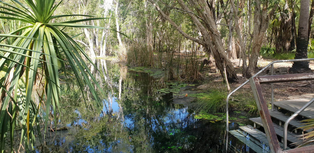
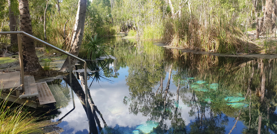
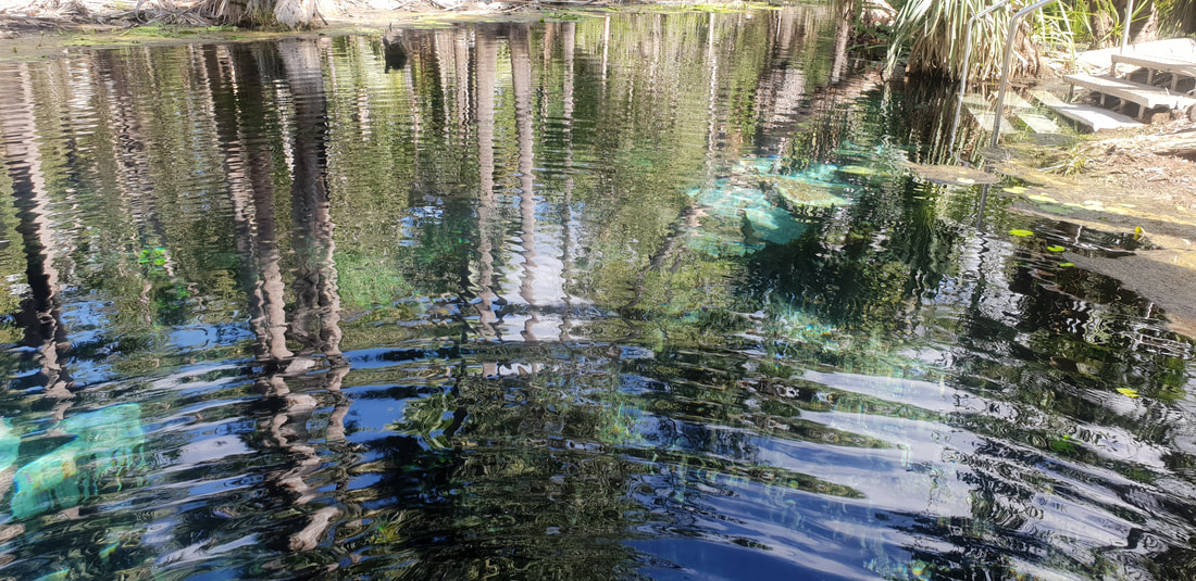
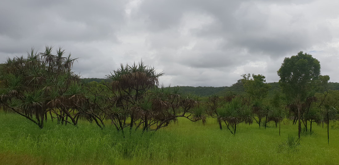
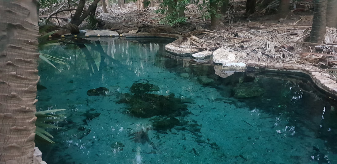
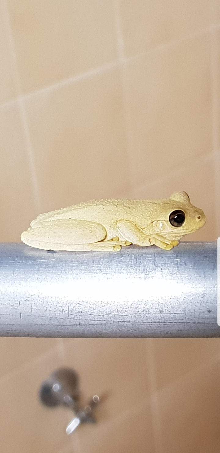
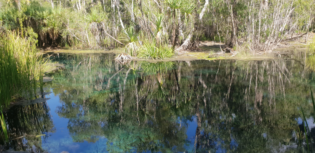
After spending the night in Mataranka, and swimming in the magical and intimate bitter springs pool we travelled about 420kms north along the Stuart Highway, to the capital of the Northern Territory, Darwin. According to the Bureau of Meteorology (BoM) January 2019 in the Northern Territory was “very hot and very dry” with rainfall generally well below average. To us, however, as we meandered along the highway at 80kph, we did not recognise the landscape was experiencing lower than average rainfall. Leaving Mataranka, the landscape seemed to significantly change, the red dirt now blanketed by thick, long grass and lush foliage indicated to us an abundance of rain. We passed inundated sections of land by the side of the highway and were treated to the sight of birds enjoying the opportunity to bath and hydrate. I saw black cockatoos for the first time and was mesmerised. It really was incredibly hot travelling up through the centre of Australia and we were excited to feel the humid air against our skin and not the ravage intensity of the sun. Our enthusiasm did not last unfortunately as we reversed into our grassed and slushy caravan site at the Discovery Parks Carvan Park near the airport. It would go on to rain for our entire stay, making the overall experience feel bleak and less than enjoyable. I’ll be shockingly brutal here by saying I loathed Darwin during this visit and felt elated to U-turn and head south back down the Stuart highway. 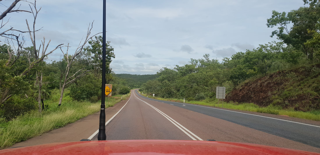   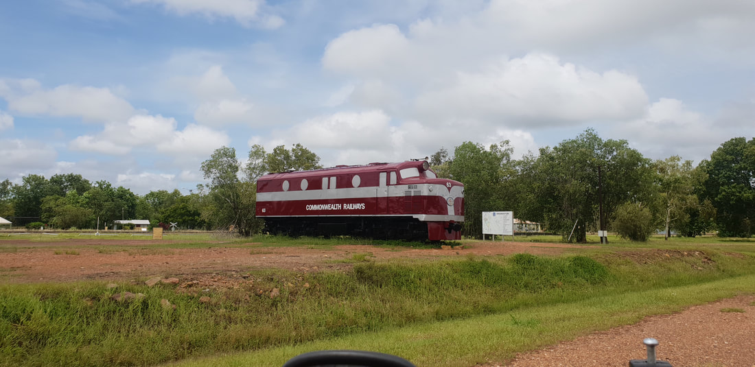 The Commonwealth Railways were established in 1917 to administer the North Australia Railway between Birdum (south of Larrimah) to Darwin, which was funded by the Government of South Australia and constructed by Singhalese, Indian and Chinese labourers. The original line which opened in 1887 terminated at Pine Creek where this image was taken and extended to Birdum in 1929. Iron ore mining at Frances Creek (about 230 kilometres south of Darwin) saw the line come into prominence during the 1960s and 1970s, however after the mine closed the line’s relevance diminished and line closed two years after in 1976. Side note: The Frances Creek Iron Ore mine was reopened in 2007 with mining continuing until 2014. In 2021 with the mine in care and maintenance and approvals pending, Linecrest Pty Ltd exported a shipment of iron ore from stockpiles using automated ore sorting technology. In 2001, a segment by the 7:30 report on the ABC reported on the beginning of construction works to complete the rail line between Alice Springs and Darwin. The Honourable John Howard the Prime Minister of the day was in attendance to “turn the sod” however unexpected July rains damped the affair. The line was completed in 2004 and serves the passenger train, The Ghan, named after Afghan camel drivers who assisted British colonisers during the 19th century to traverse the country’s interior and courier materials for the construction of the Overland Telegraph Line. 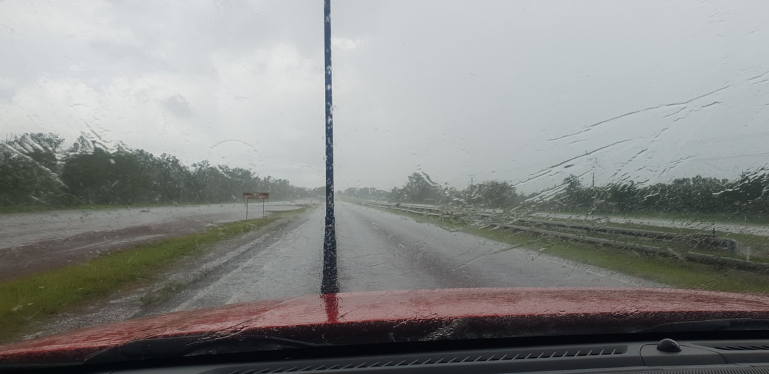  Our continued journey north had us traverse approximately 540 kilometres of the Stuart Highway landing in Mataranka to spend the night at the Territory Manor Caravan Park. The landscape began to change as we headed north; the pungent red dirt arid landscape making way for a generous covering of trees with smatterings of green grass hemming the road’s edge. The Territory Manor is located only a short drive away from Bitter Springs a swimming hole fed by a natural underground spring in the Elsey National Park, so we decided to head down for a swim. We were thankful to have access to the park during the wet season (generally the park is closed between November and March) and enjoyed the refreshing water after yet another long, hot day in the car. That night we treated ourselves to a restaurant meal of locally farmed barramundi at the caravan park, however I learnt quite quickly that I don’t much like freshwater barramundi and couldn’t particularly stomach the fishy taste. I’m definitely a fan of saltwater barramundi and know now to ask for this instead next time. We showered with local frogs in the open to the fresh air and wildlife bathrooms and were treated to a glorious sunrise on the morning of our final push into Darwin.
Bitter Springs Thermal Pool
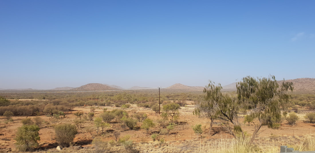
   There was a smoke haze in the air as we departed Alice Springs continuing our journey north, travelling approximately 530 kilometres to the Threeways Roadhouse. A fire had broken out on the Larapinta Trail that was visible from the Stuart Highway and did have us slightly concerned. According to Bushfires NT the blaze spurred by hot winds ravaged the iconic walking track for about 17 days covering 1200 square kilometres that devasted vegetation and caused irreversible losses.
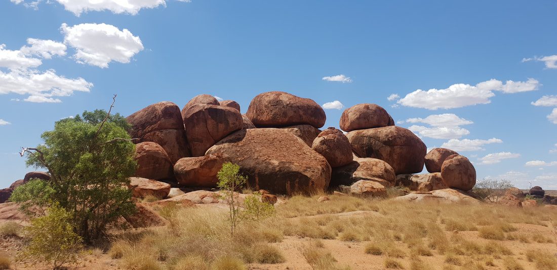
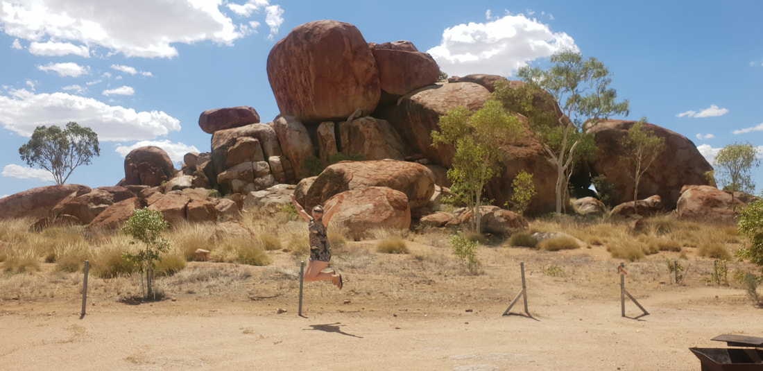
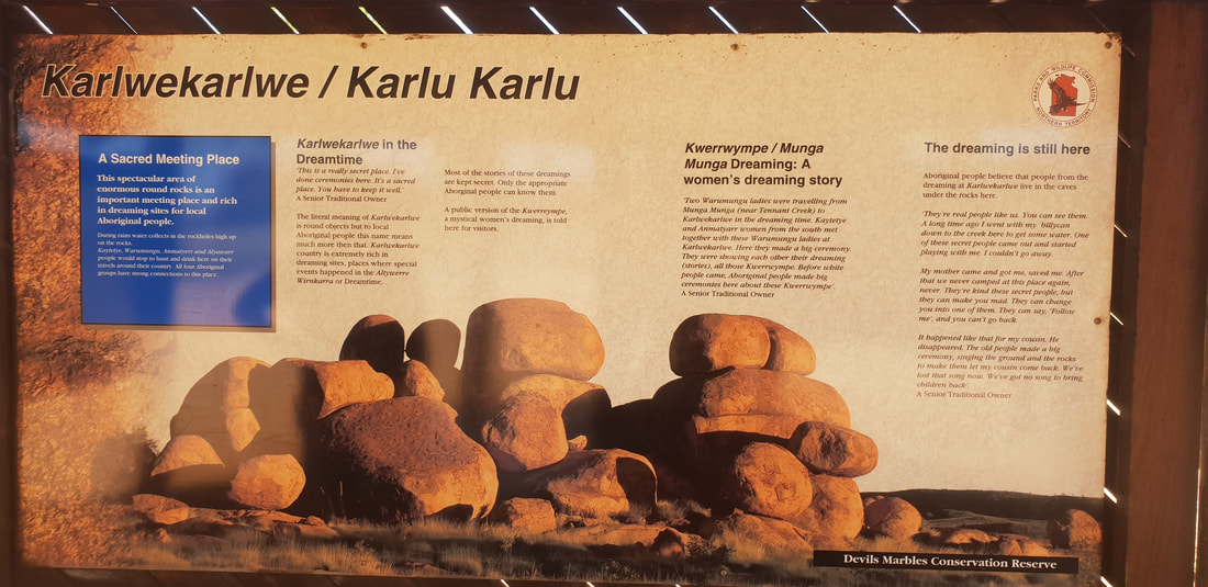
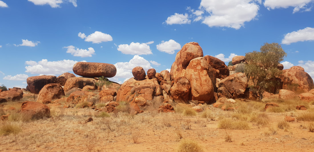
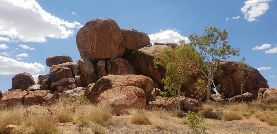
Karlu Karlu / Devil's Marbles Conservation Reserve
   Threeways RoadhouseWe love this roadhouse located on the junction of two major road train routes for its lack of rustic charm and quaint surrounds. It’s dirty, dusty, hot, and we wouldn’t want it any other way. The amenities are creepy, sparsely clean with insects galore and the facilities basic to say the least but try the barramundi for dinner and you’ll love this place as much as we do. 
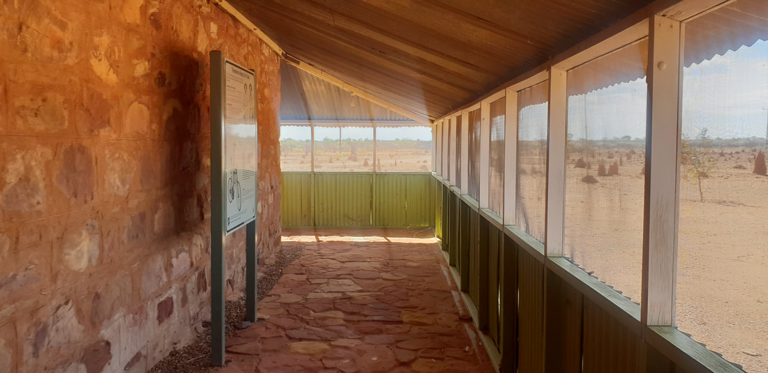
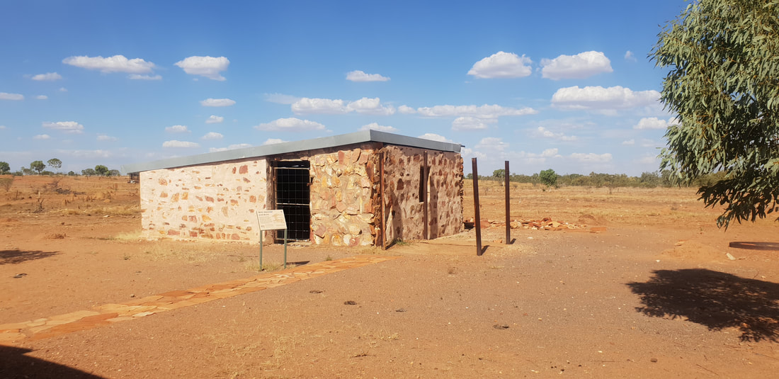
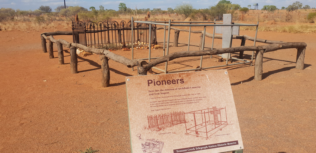
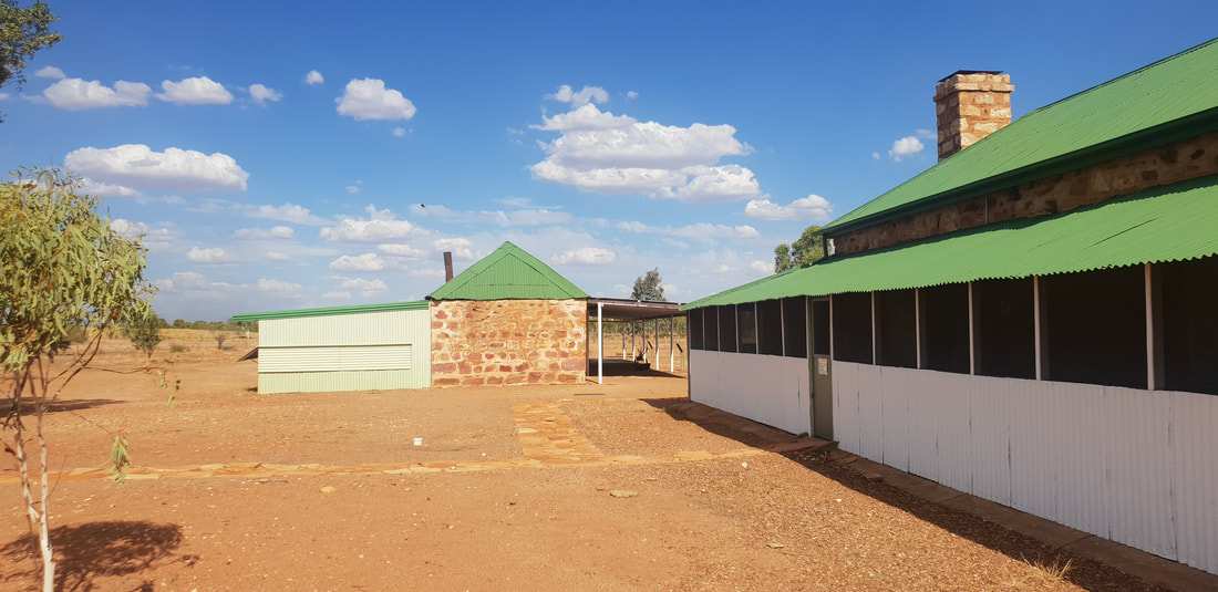
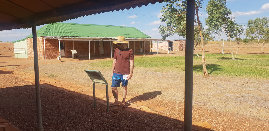
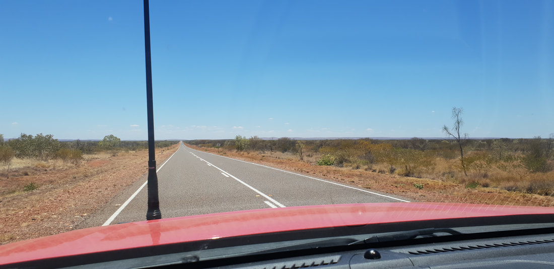
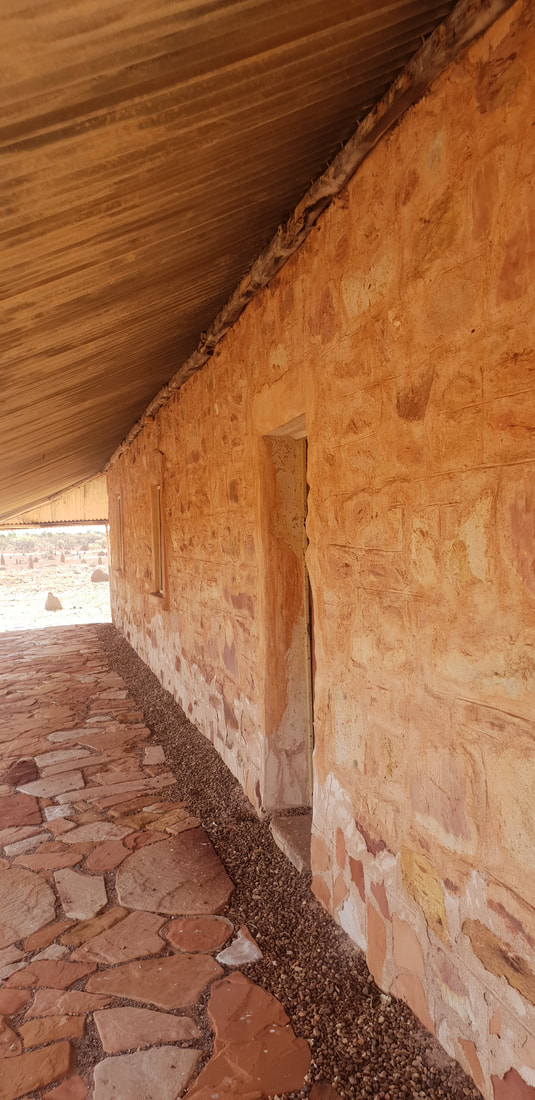
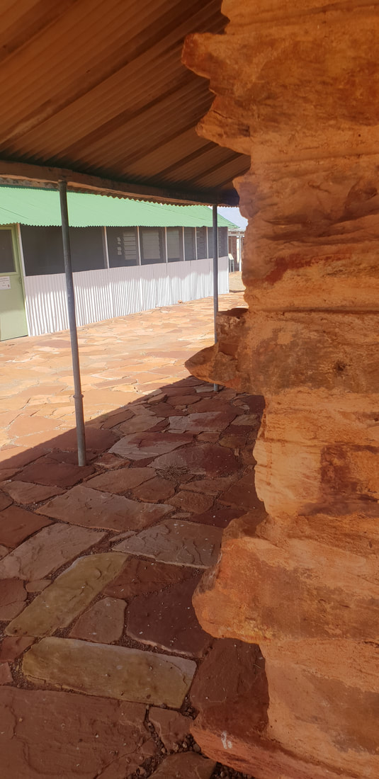
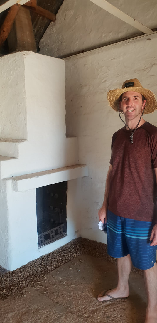
  Arriving at the Threeways Roadhouse we promptly unhitched Florence and took off south down the Stuart Highway in the direction we had just come from. And I literally mean we “took off” down the highway, unshackled from Florence, Cherry was able to really feel the breeze through her radiator grill as we took advantage of the 130km speed limit! Just north of Tennant Creek we had passed the Overland Telegraph Line Station and I was bursting to check it out. I’m completing fascinating by stone dwellings and didn’t want to miss an opportunity to visit a restored stone dwelling in Central Australia. Access to the Station’s interior requires a key obtained from the visitor’s centre, which being late in the day we didn’t have time to collect but we made the most of our experience, exploring the surrounding buildings and old graves. The visit definitely had a profound impact on me, and I was left pondering the connection between stone dwellings and hot-dry arid climates.
        Extract from Gumby’s unfinished 2022 Honours Thesis…
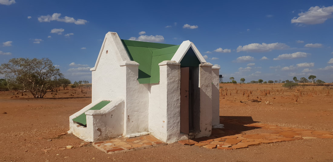
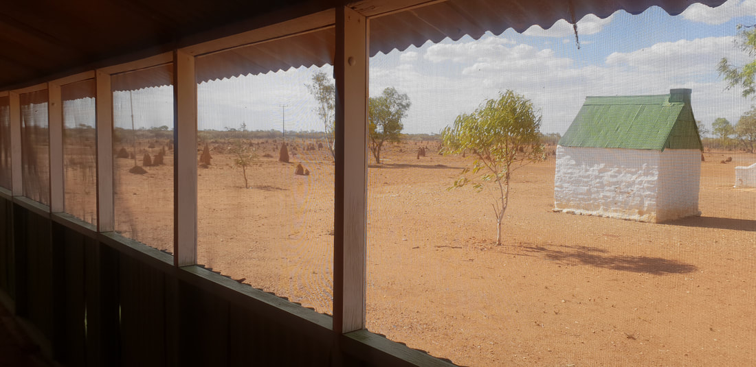
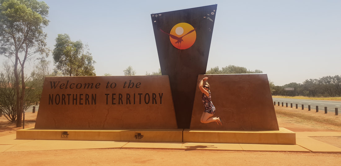
As I stepped from the air-conditioned sanctuary of the car, I was struck by the intensity of the heat, I felt as though I’d just cracked the door of a hot oven, instantly blasted, my cheeks flushed, eyes watered, and lungs burnt as I gulped for air. It was late afternoon in Jurnkkurakurr (Tennant Creek), Central Australia, January 2019, Australia was experiencing an “unusual extended period of heatwaves” (BoM, 2019, 14 March, p. 4), the Larapinta Trail in Tjoritja (West MacDonnell National Park) near Mparntwe (Alice Springs) was ablaze (DTSC, 2019), and the United Nations Secretary-General, António Guterres had issued a bleak outlook, “I believe we are losing the race. Climate change is running faster than we are” (UN, 2019, para. 3). The Tennant Creek Overland Telegraph Line Station situated approximately 520 kilometres north of Alice Springs, constructed of stone in 1874 (PWCNT, 2002), was restored and opened to the public in 2012. Michael Holstein a traditional stonemason was engaged to dismantle and rebuild the external Station walls, stone by stone, he stated the stone was laid incorrectly, the grain faced the wrong direction permitting it to shale in the wind (Brain, 2012). Completed in 1872 the Overland Telegraph Line (OTL) was heralded as an engineering triumph that included the installation of 36,000 poles traversing the continent, approximately 3,000 kilometres, south to north, from Kurdnatta (Port Augusta) to Garramilla (Darwin), and included the construction of eleven repeater Stations, to house equipment and personnel (Pugh, 2022). When I visited the Station in January 2019, Tennant Creek had just experienced a record-breaking 23 consecutive days over 40°C (BoM, 2019, p.30). There were no other cars in the carpark as I retreated from the intensity of the sun under the verandah and noticed the cooling effect created by the stone walls. I was reminded of traditional stone architecture prominent in the Middle East. The Köppen-Geiger climate system classified Tennant Creek as BWh, an arid hot-dry desert, the same classification given to the Middle East, countries such as Saudi Arabia, Yemen, Algeria, and Egypt (Beck et al., 2018). I wondered if the Tennant Creek OTL Station had been constructed from locally quarried stone in response to the climate, and what it was like to live in such a building? Today we travelled just under 700 kilometres, crossing into the Northern Territory, on our way to the piercing red dirt of the Alice Springs outback. This is a massive drive but especially for us towing Florence the caravan who is only rated for 80 kph. We ate our lunch of wraps at the border, jumping at the iconic sign before continuing our journey north. The heat at this time of year is relentless and the flies unforgiving, we were extremely grateful for the air-conditioned sanctuary of Cherry the Trailblazer. 
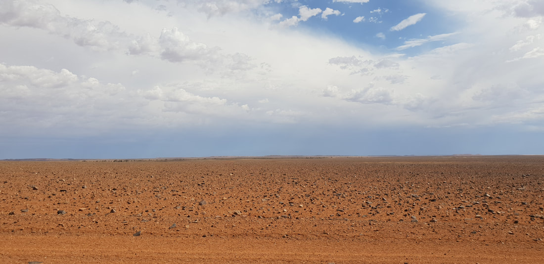
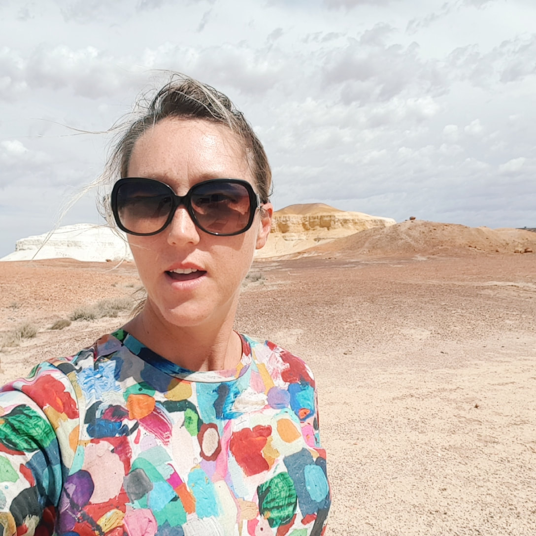
The indigenous peoples of the Mutuntjarra and Antakirinja traditional groups have lived and hunted on these lands for thousands of years. Today jasper and silcrete stone tools can still be found in the area, of which holds cultural significance as a teaching place for young watis (men). As such the cultural story of the area remains closely guarded yet some aspects are known. The area prior to European settlement was called, Umoona, named after the local mulga tree, that means ‘long life’. The flat-topped mesas and rocky outcrops amongst the landscape represent in indigenous culture animals, that include the Ungkata (breaded dragon lizard) and Kalaya (emu). Tudu (red ochre) used for ceremonial body decoration is sourced in the Kanku, which is located about 30 kilometres north of Coober Pedy. These protected lands were once an inland sea, now home to about 60 native flora species and a variety of birds and wildlife including the fat-tailed dunnart and red kangaroo. The colours in the landscape are breathtaking and incredible to witness in person. 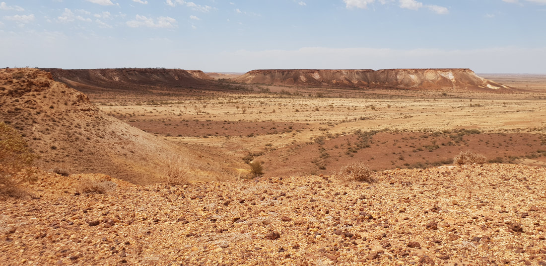 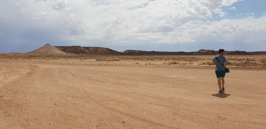 Wati the owner of the two dogs 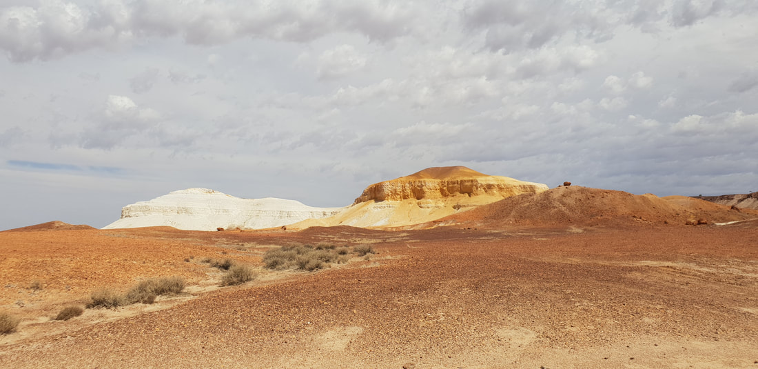 Two dogs (papa) sitting - one yellow, one white
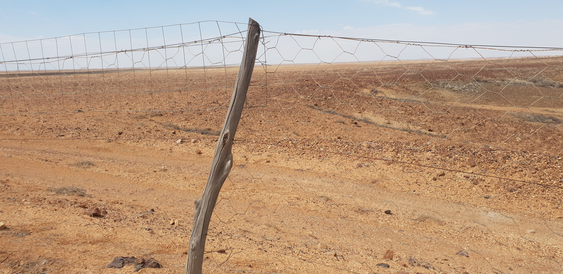
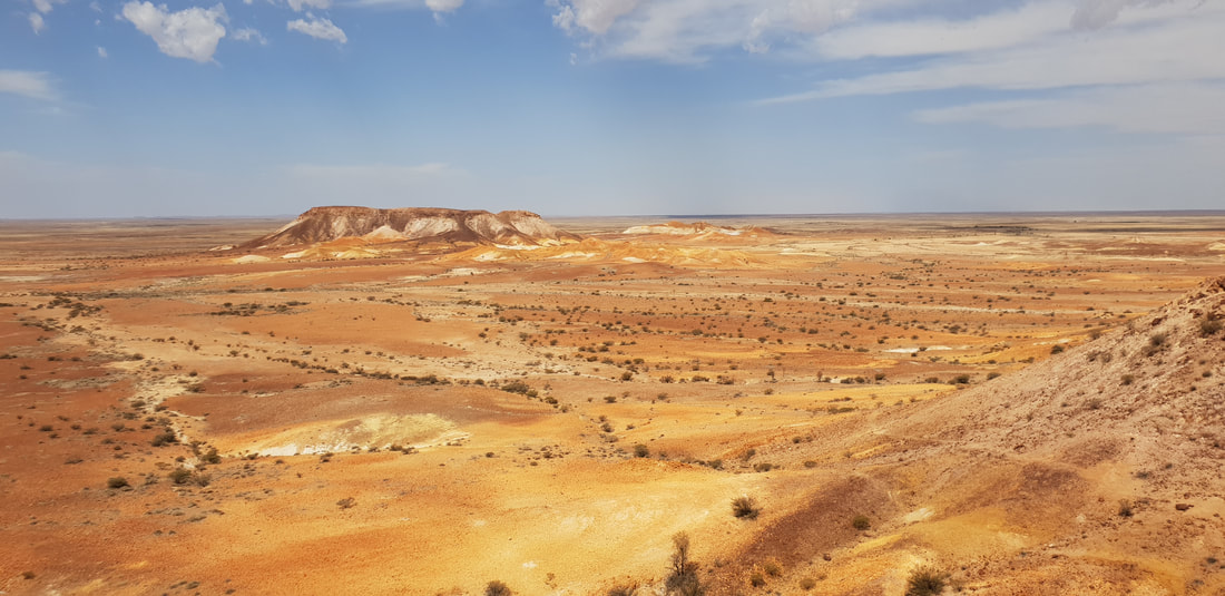 Dog FenceThe longest fence in the world, spanning 5,614 kilometres, was originally built in the 1880s to keep rabbits out of the south-eastern region of Australia, however, was updated in 1946 to exclude dingoes, after settlers who had started to use the area for grazing in 1941 experienced many sheep losses. The fence starts at Nundroo near the Great Australian Bight and extends all the way through South Australia along the New South Wales border into Queensland, ending near Dalby in the Darling Downs. The ‘Dog Fence’ as it is commonly referred runs along the edge of the Kanku-Breakaways Conservation Park, and we were able to drive along it on our way back to Coober Pedy. Whilst staying at Ceduna we took a trip to see the ‘Dog Fence’ along the Googs Track at Yumbarra Conservation Park. 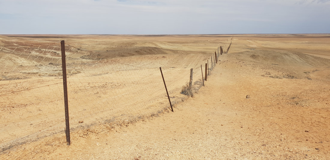
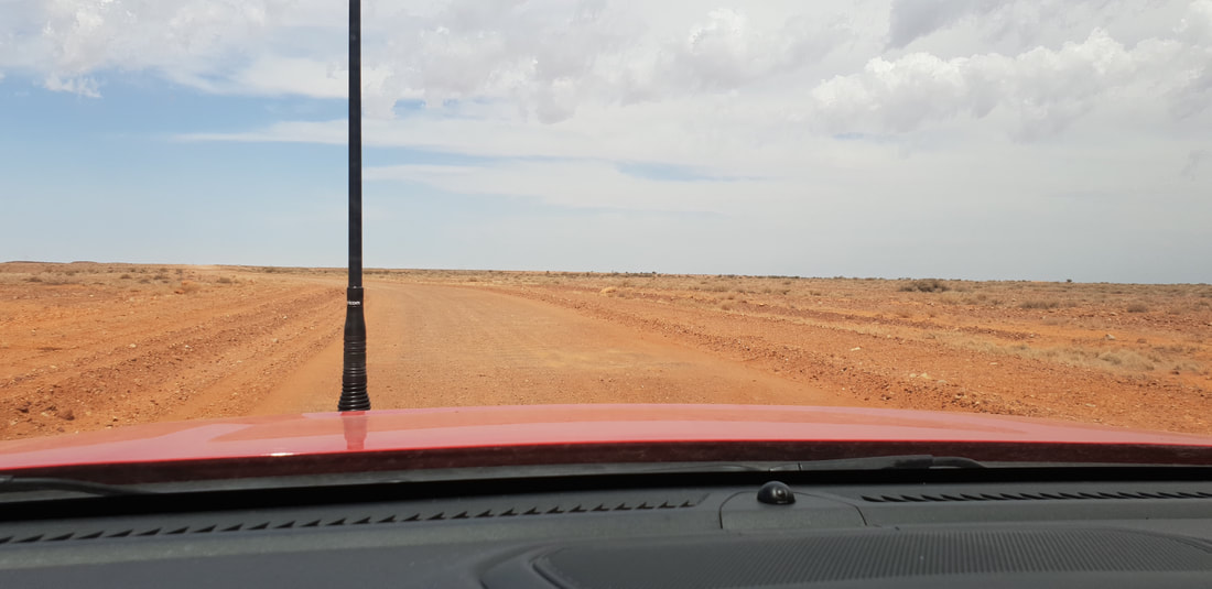
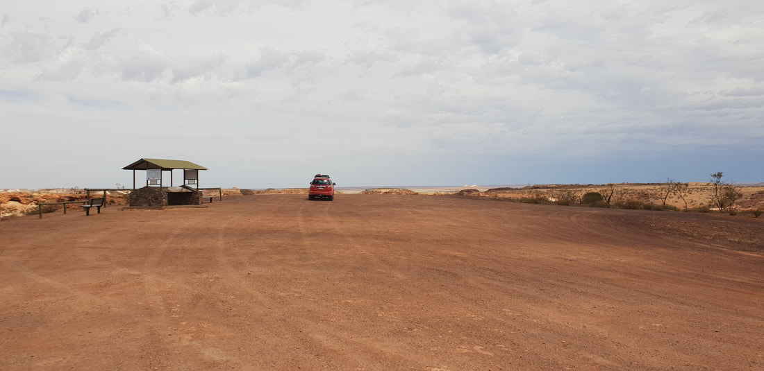
 The area known as Moon Plain
|
The JourneyChoose Curiosity The Catalogue
November 2023
The Tags
All
|


 RSS Feed
