|
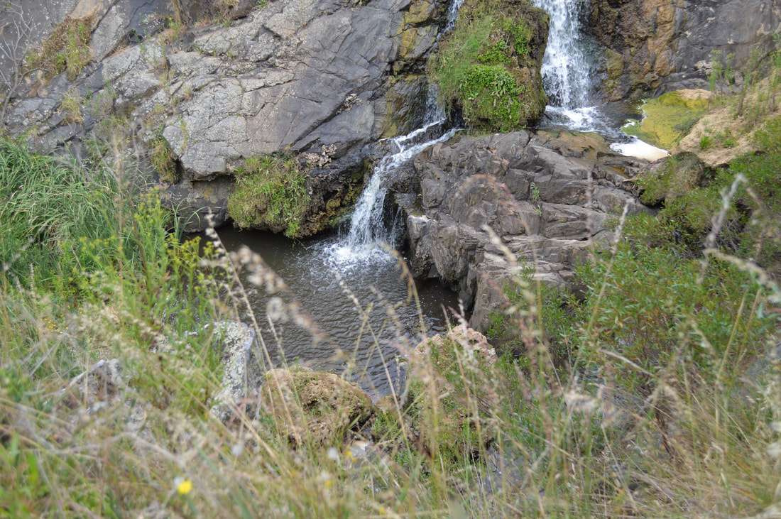
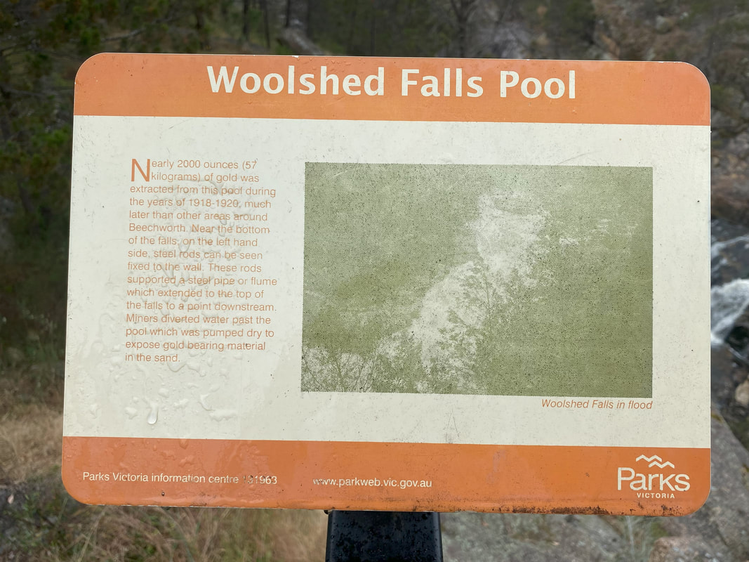
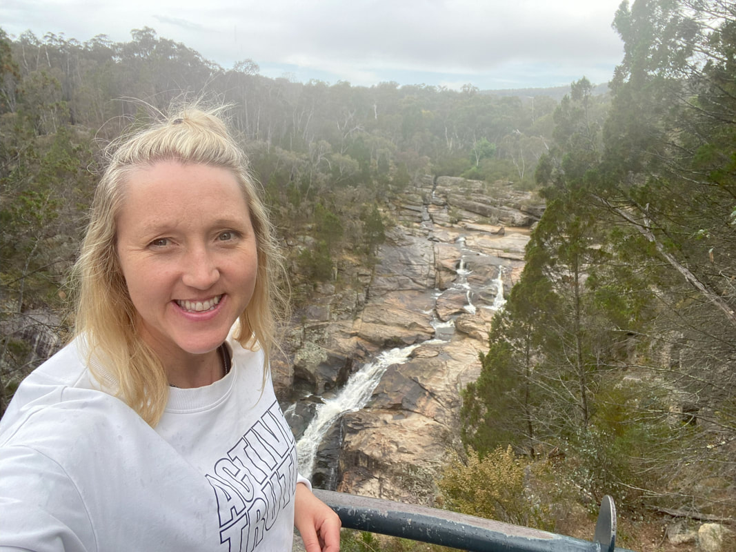
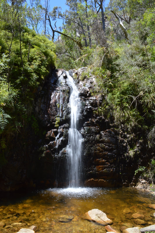
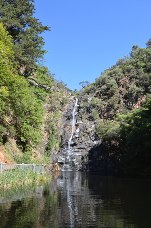
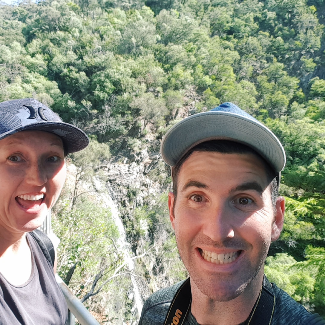
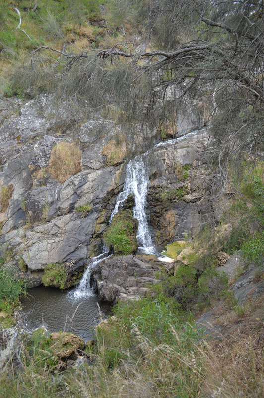
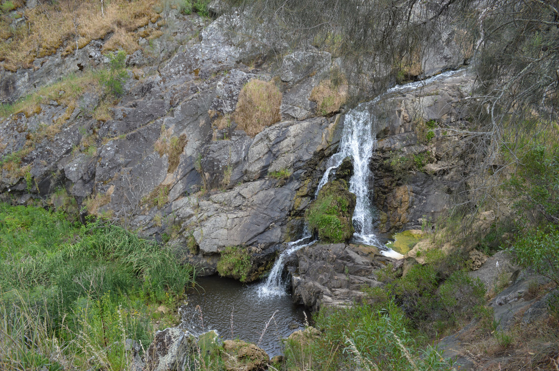
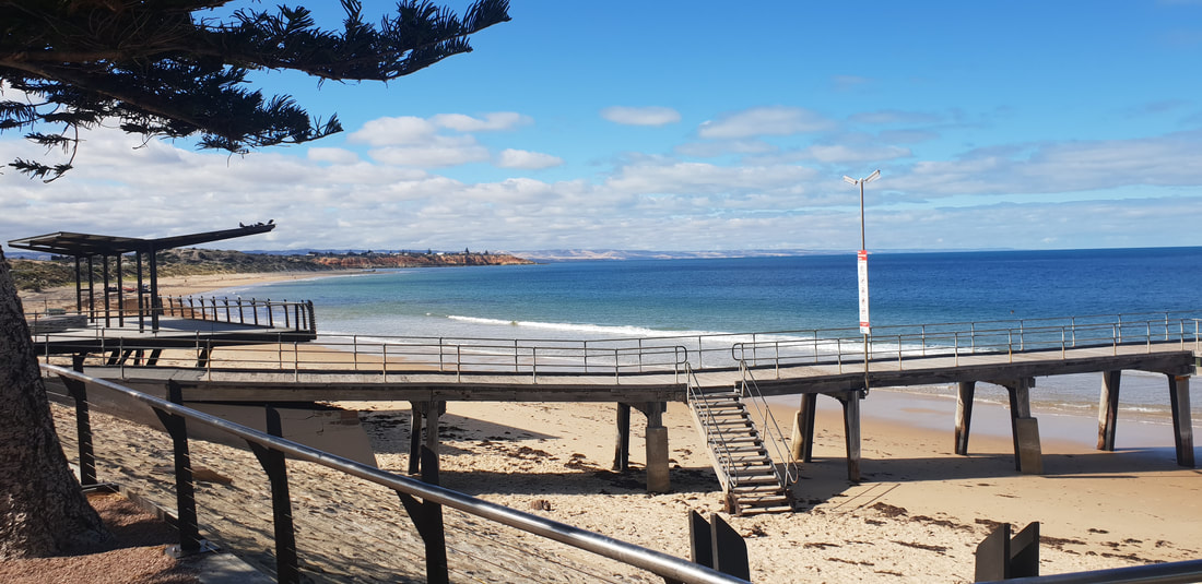
For these two mini adventures we had to do them solo as Benny wasn’t permitted, particularly within the Mount Pilot National Park near Chiltern. Woolshed Falls near BeechworthWe may not have been able to see a waterfall along our Rawes Track walk, but we did have the opportunity to drive up to Woolshed Falls lookout. We tag-teamed in and out of the car as we ran across the carpark in slight drizzly rain to see this natural beauty. 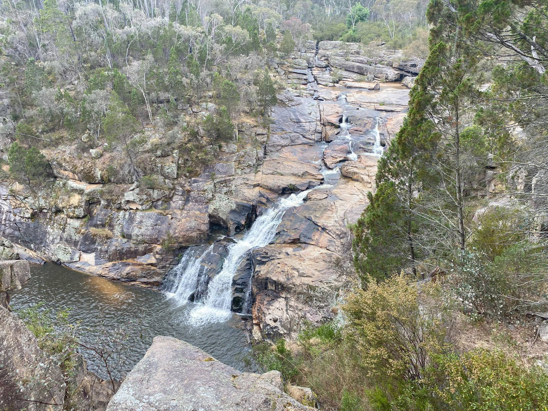
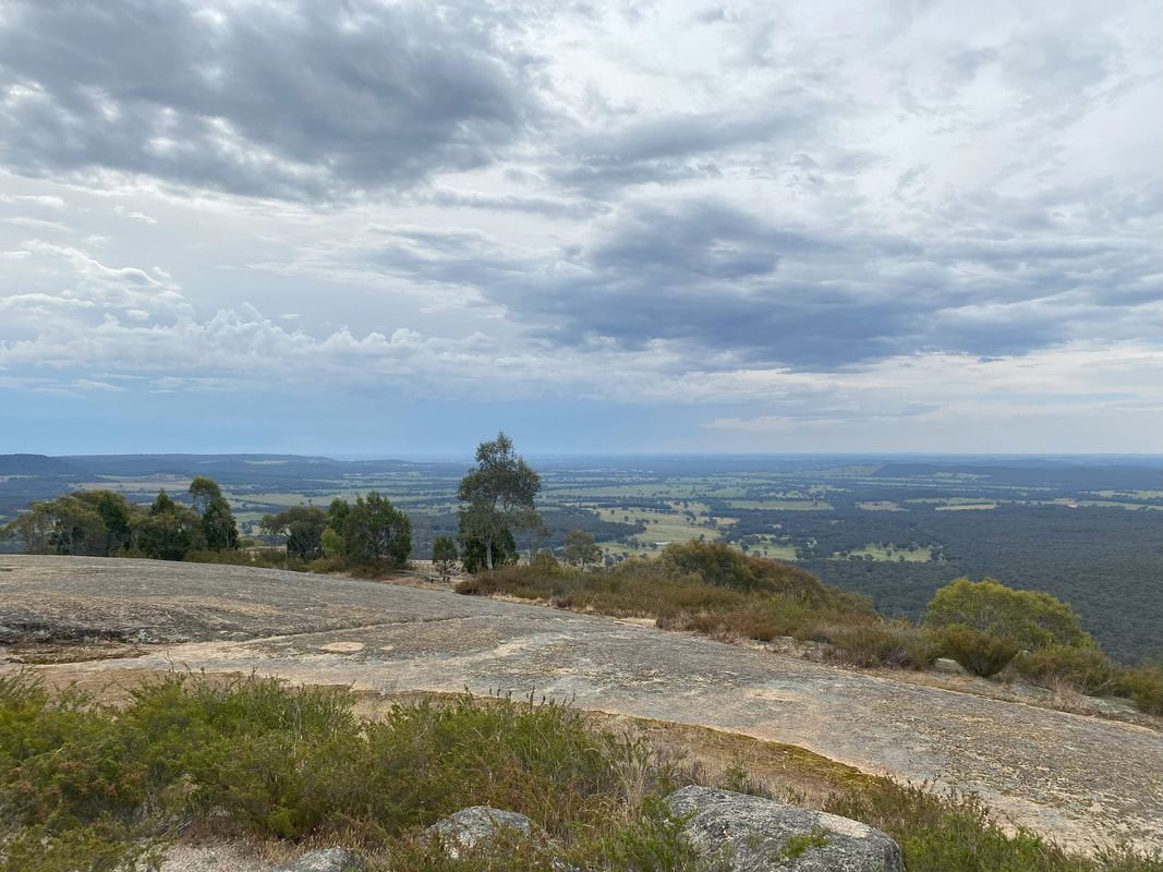
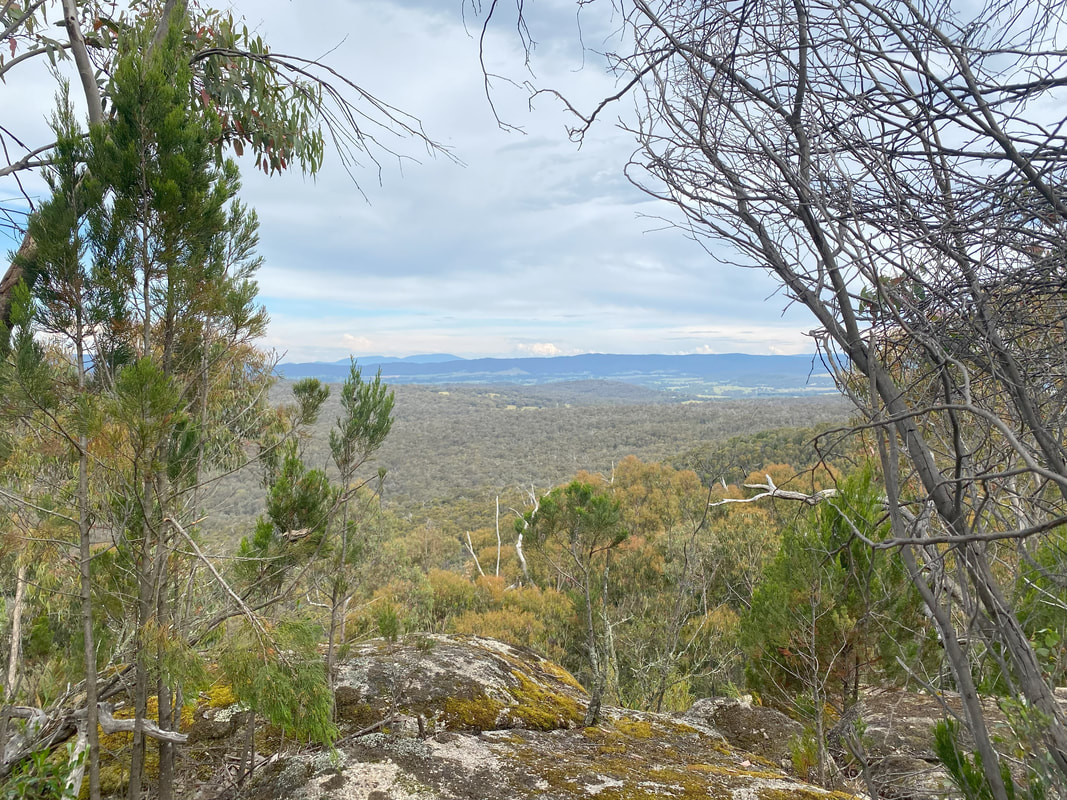
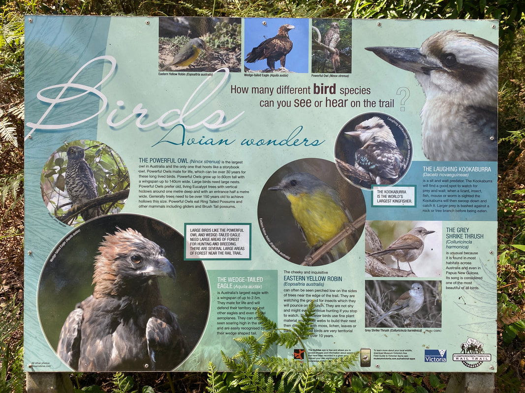
Mount Pilot Lookout near Chiltern
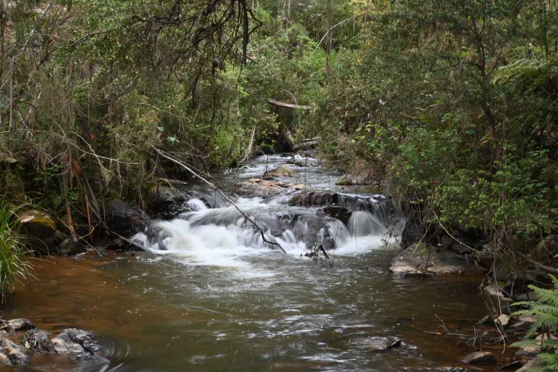
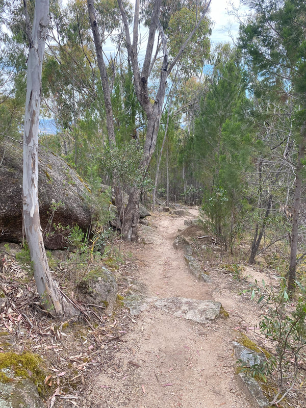
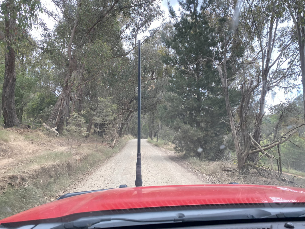
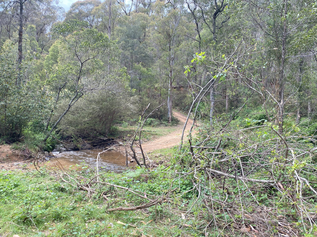
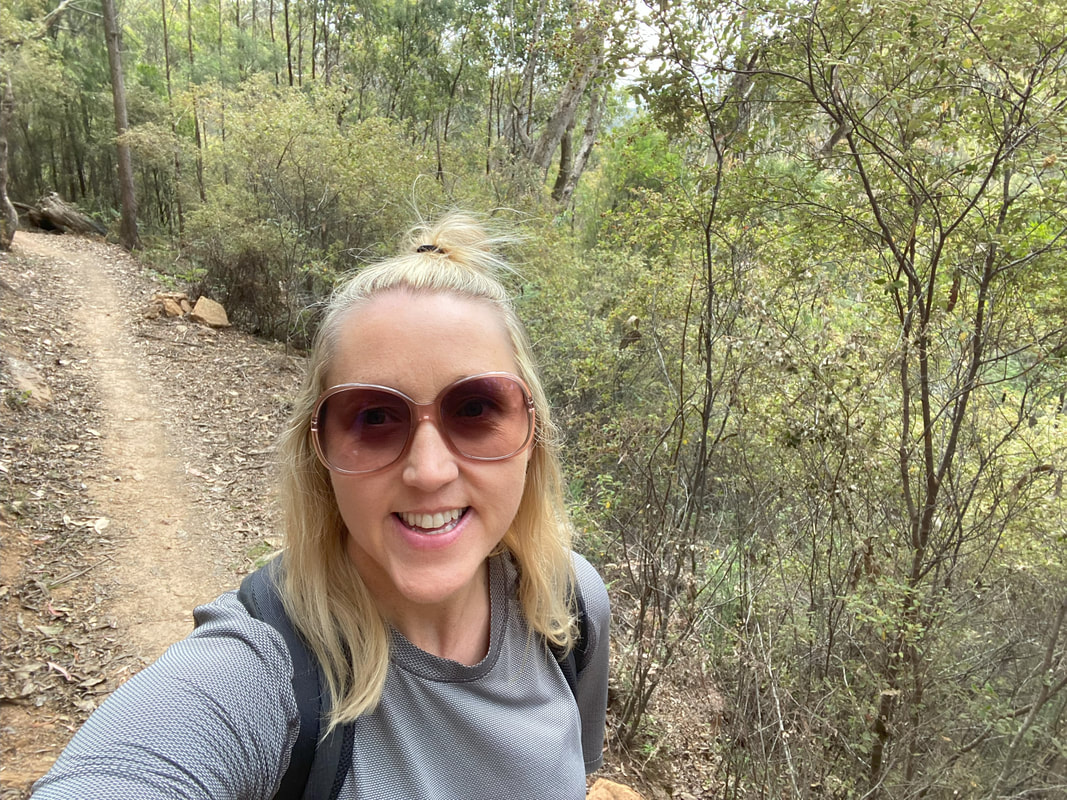
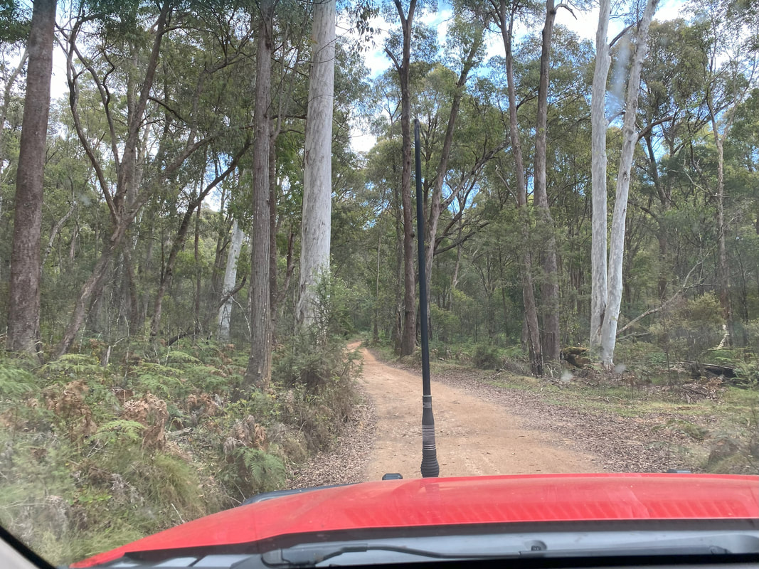
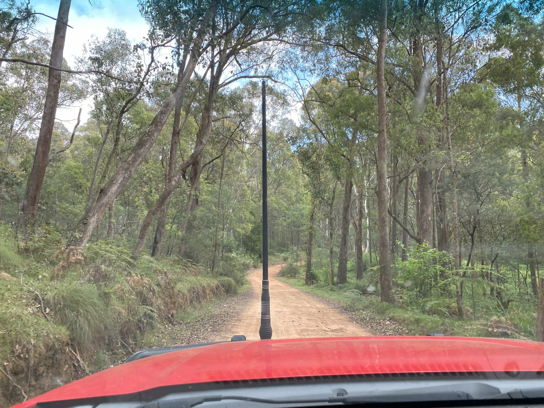
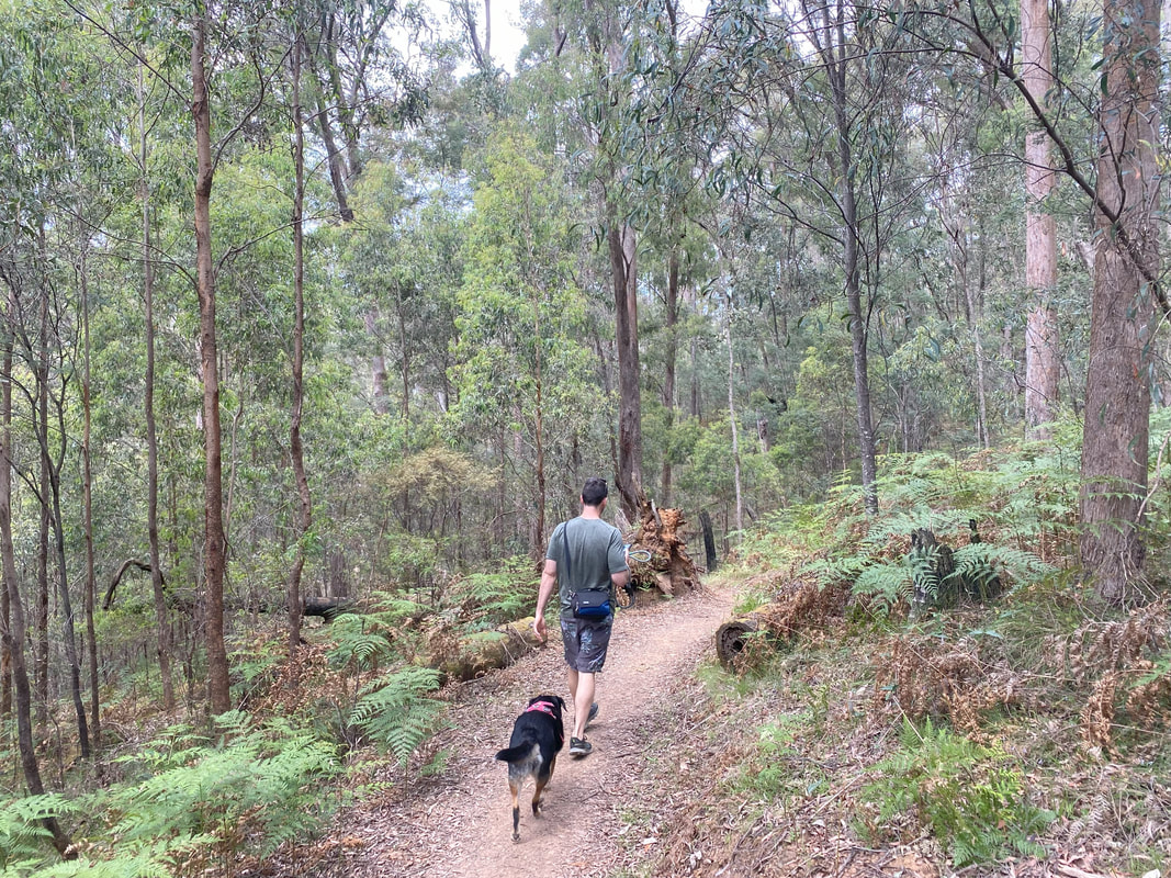
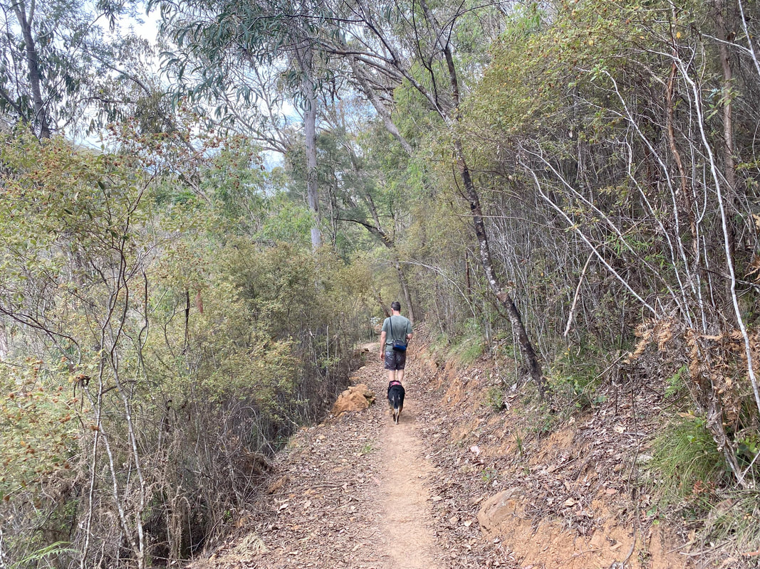
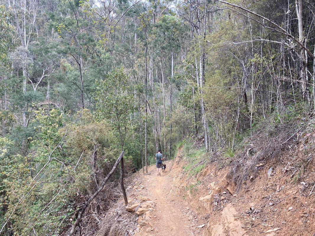
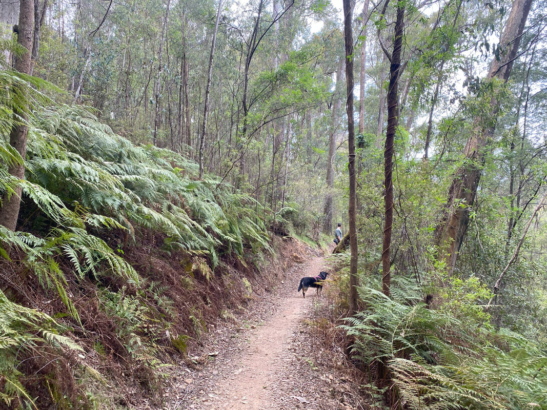
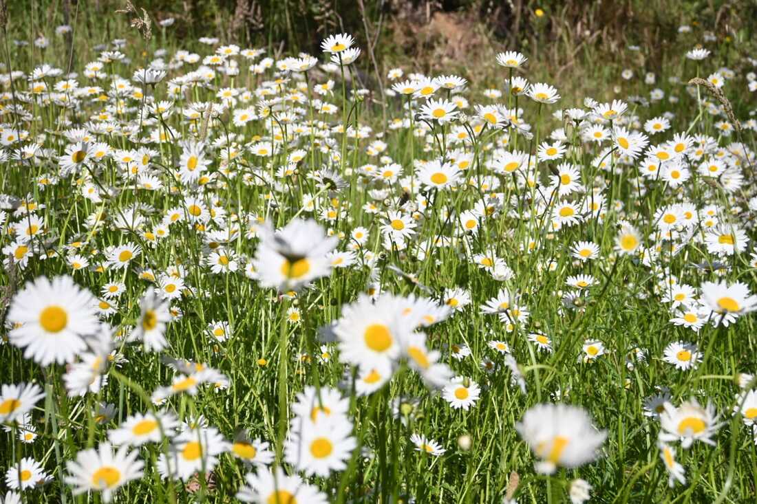
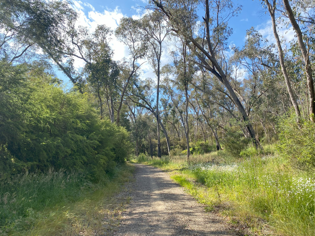
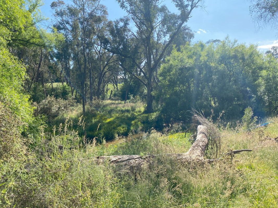
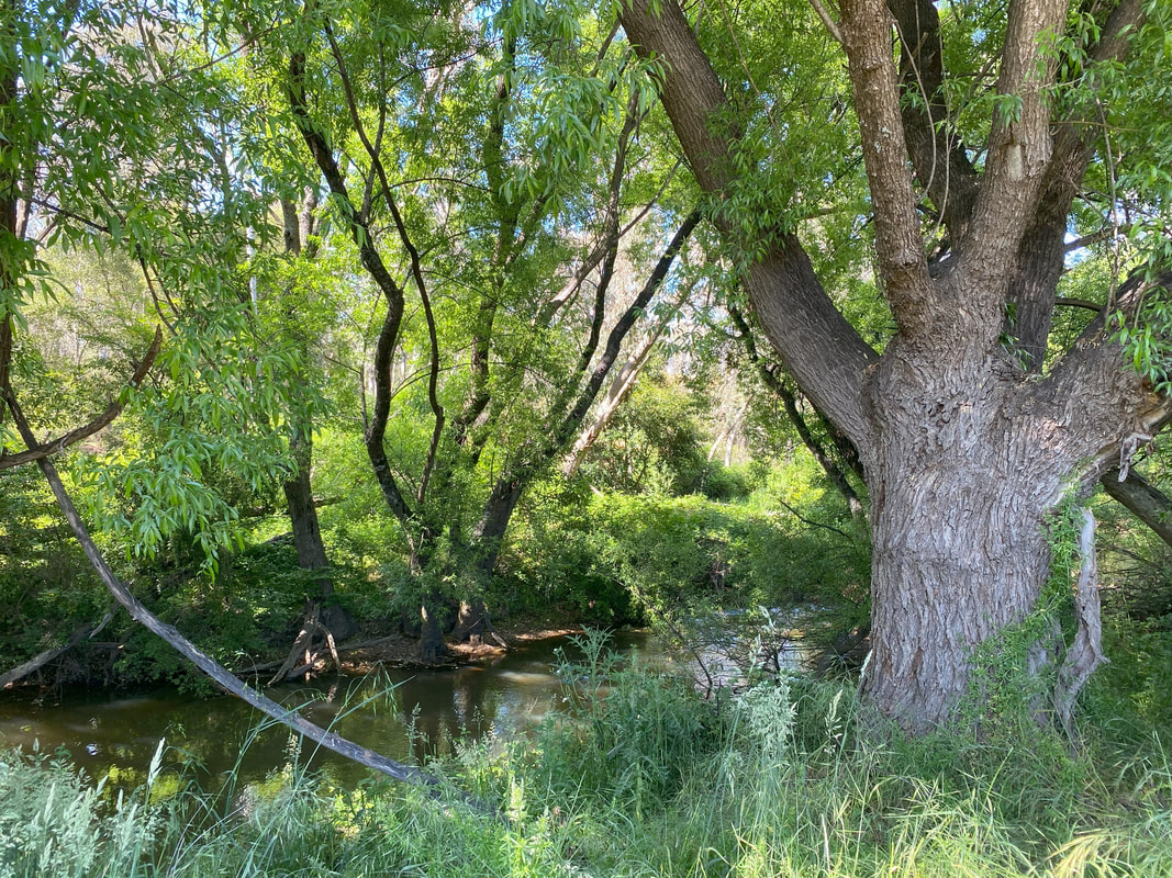
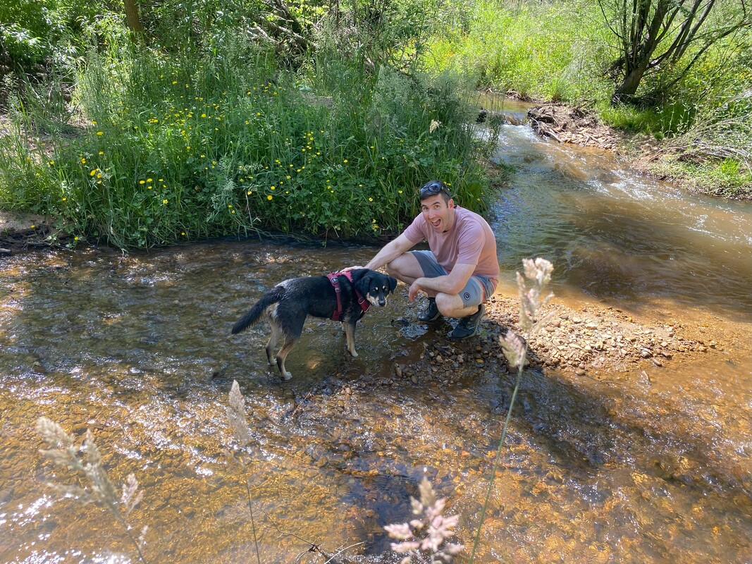
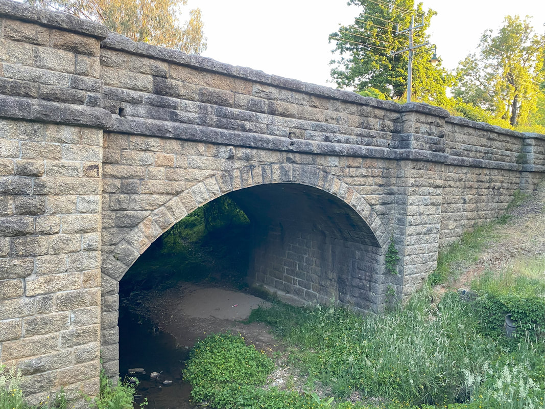
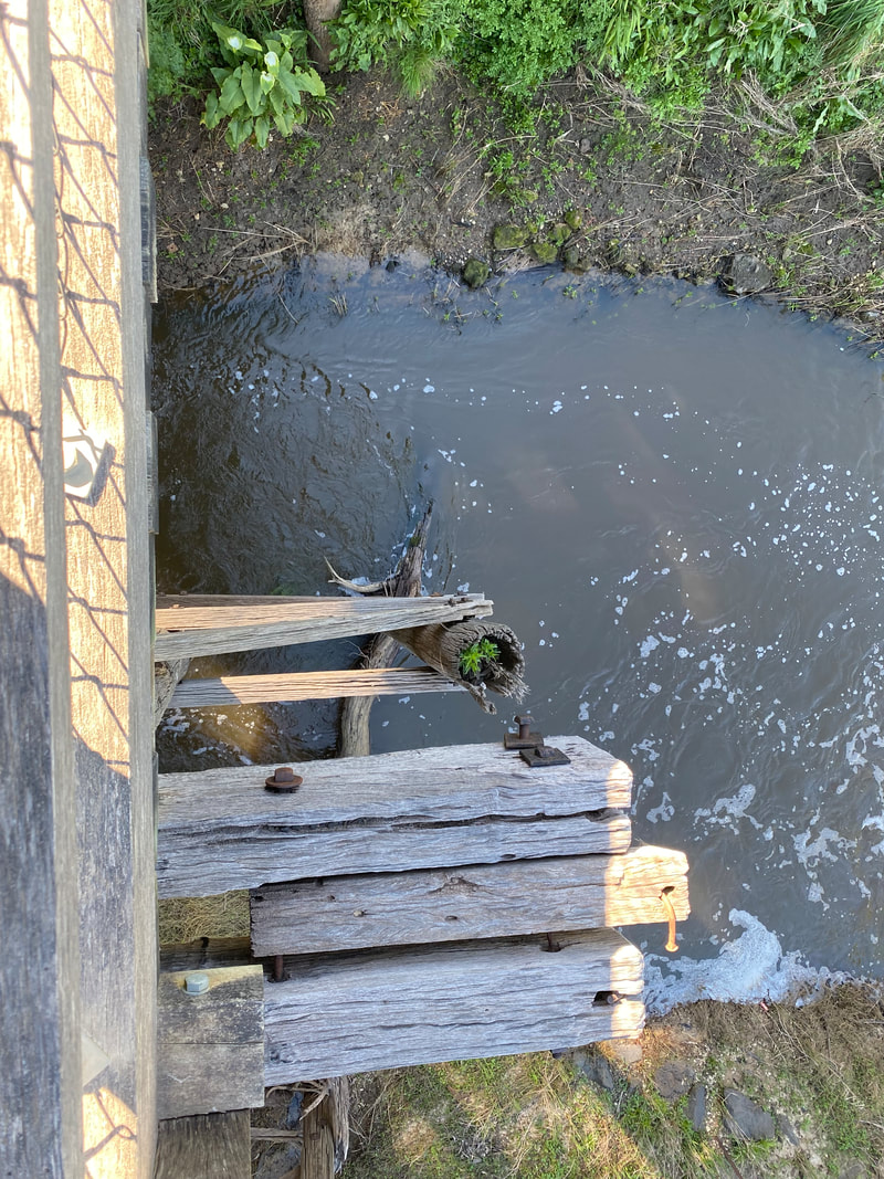
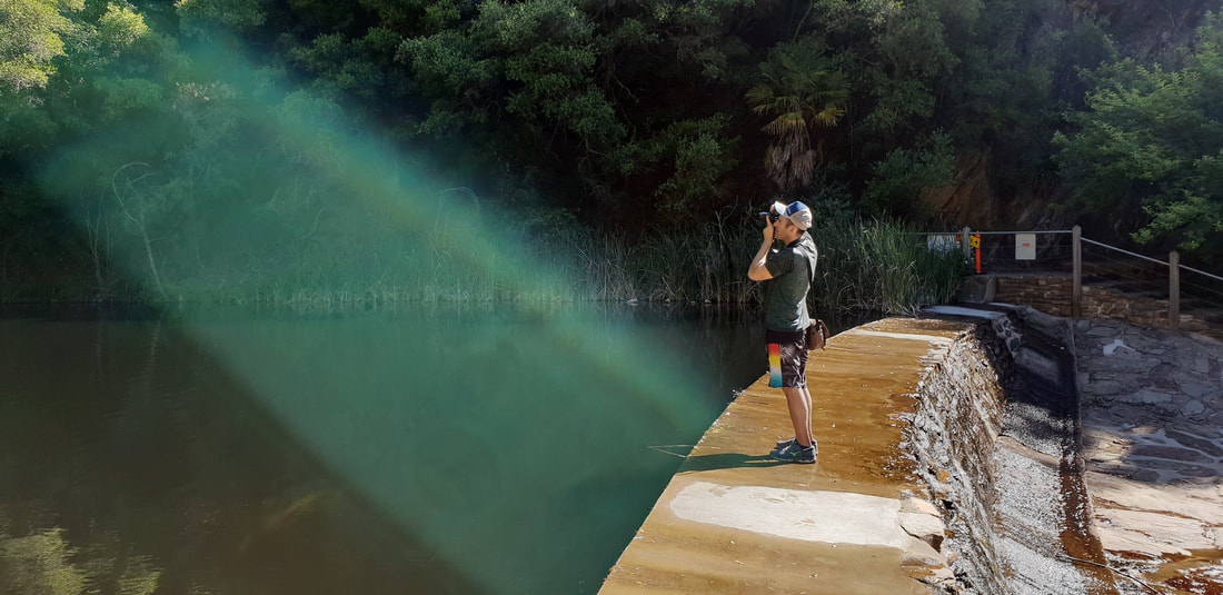
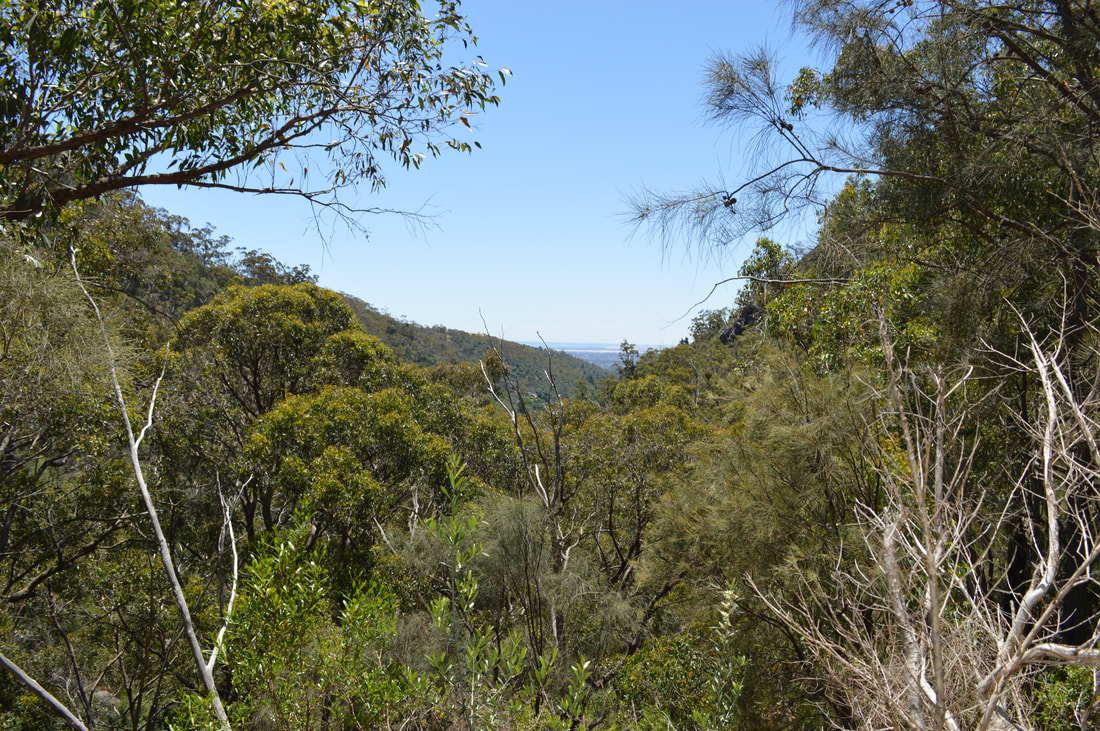
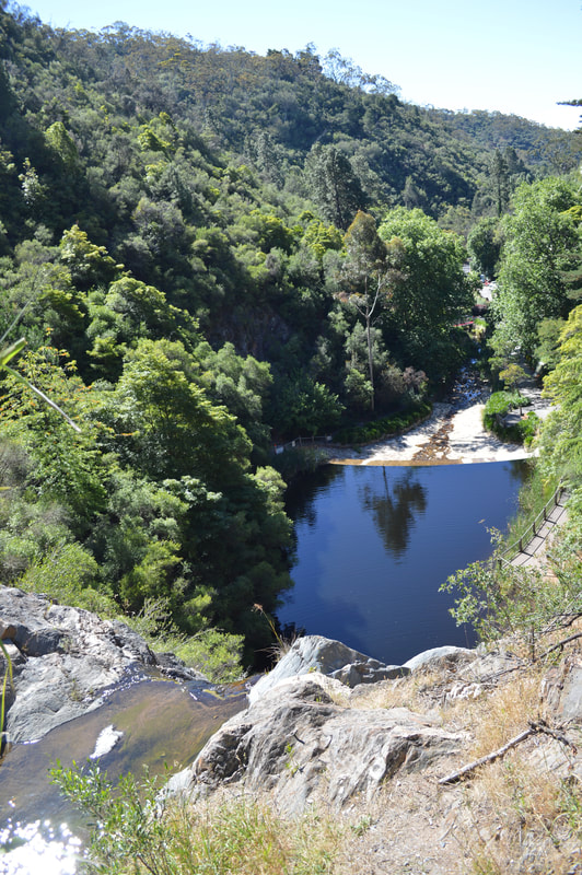
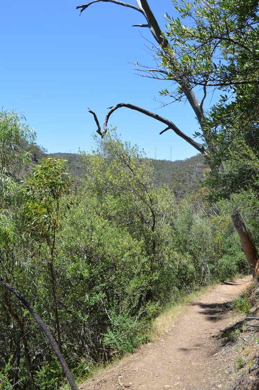
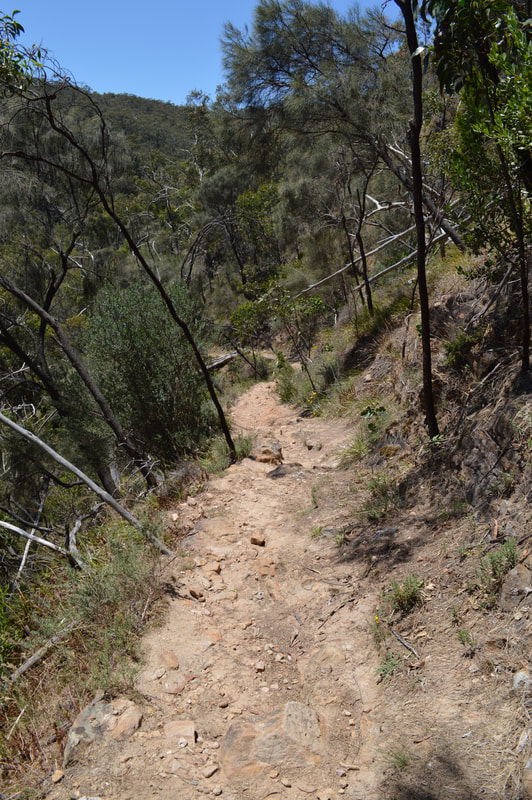
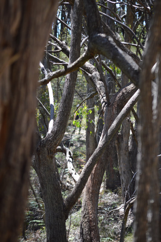
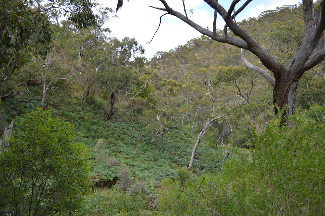
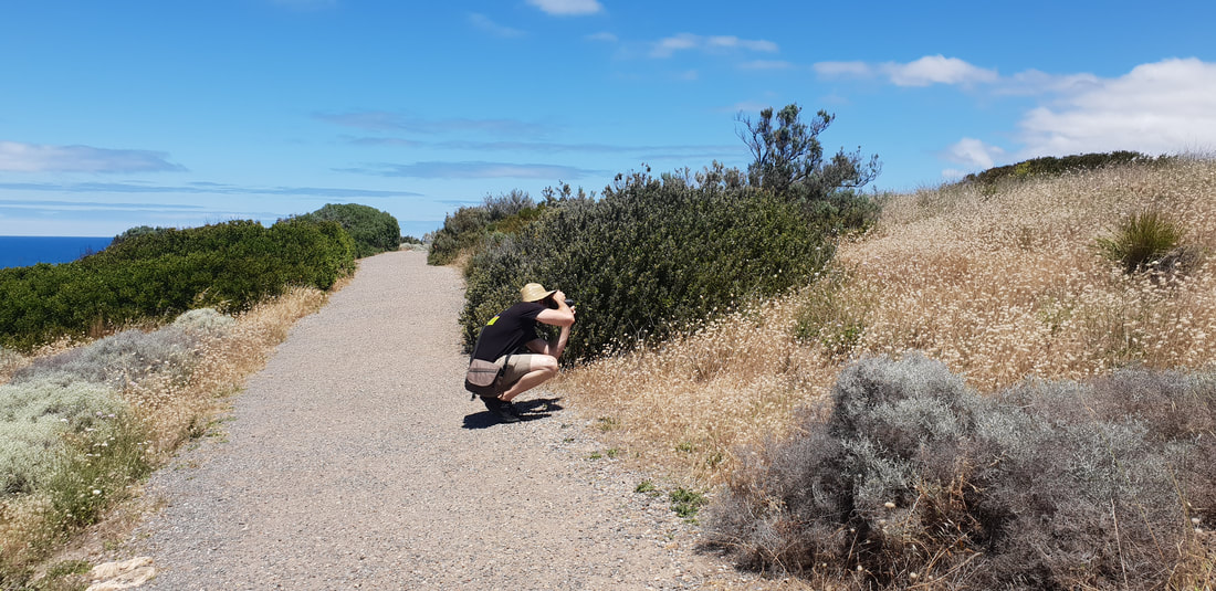
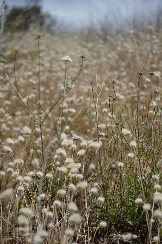
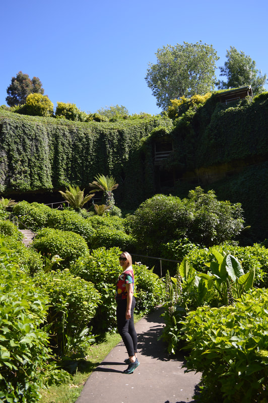
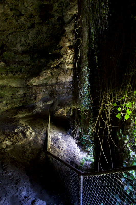
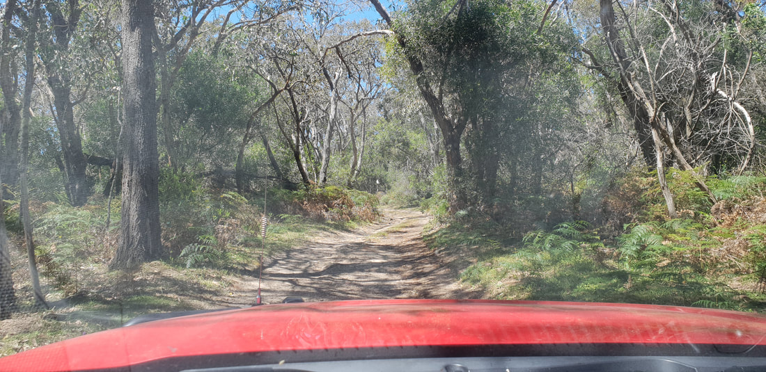
Located not far from where we were staying at Yackandandah is the Nine Mile Creek Historic Area and on this adventure, Cherry got to get her shoes dirty as we took her off road onto dirt roads and through a little river crossing to the start of Rawes Track. Despite the promise of a waterfall ending we were unable to make it to the waterfall, as past the river crossing the track became very overgrown and as we were in the height of snake season decided against pushing on and turned back along the way we had come. The AllTrails app said about this track, “it's unlikely you'll encounter many other people while exploring,” which offered insight into the reason for the overgrowth. It’s always fun to get out in nature however and we made the most of the walk, taking in the sights and sounds of the Victorian high country.
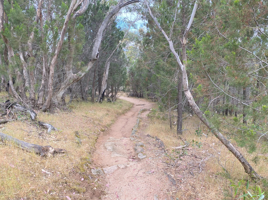
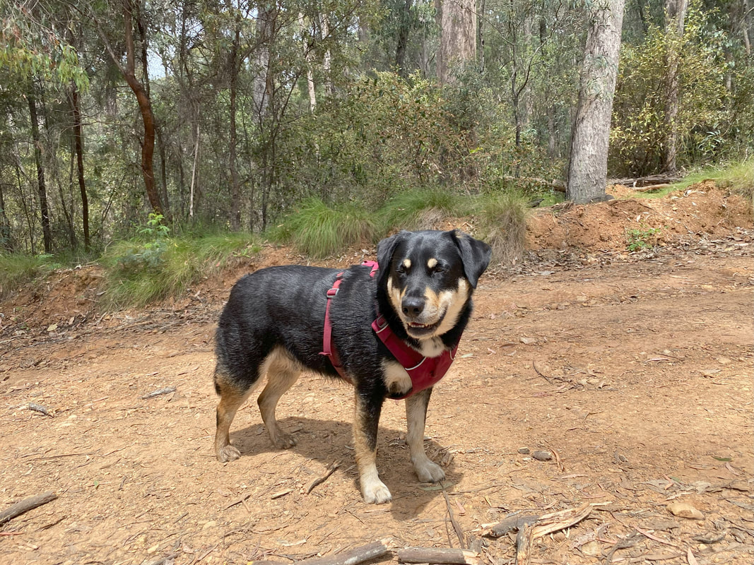
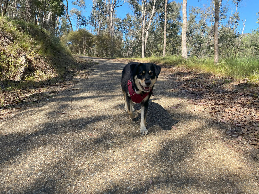
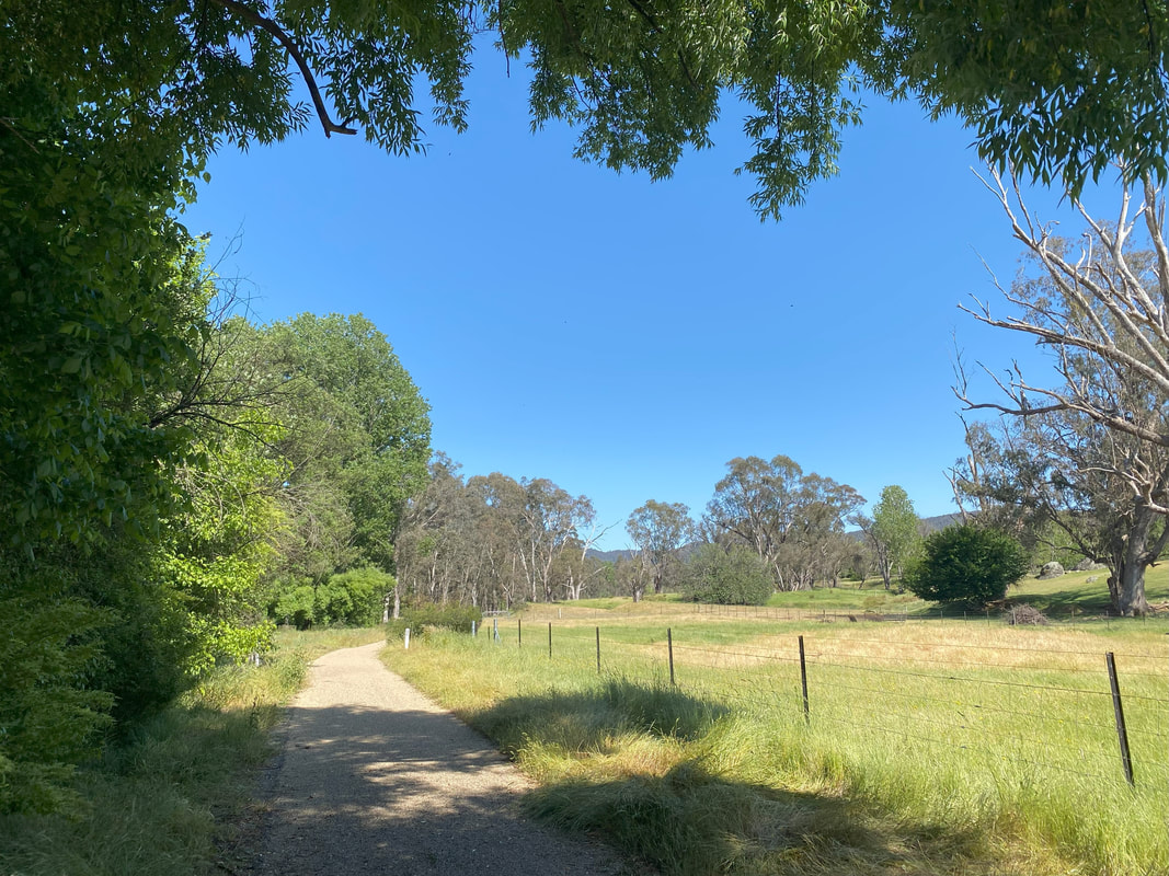
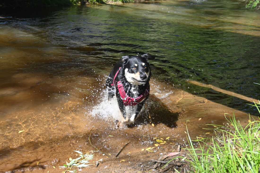
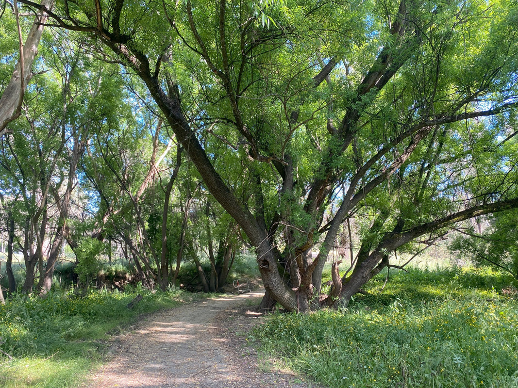
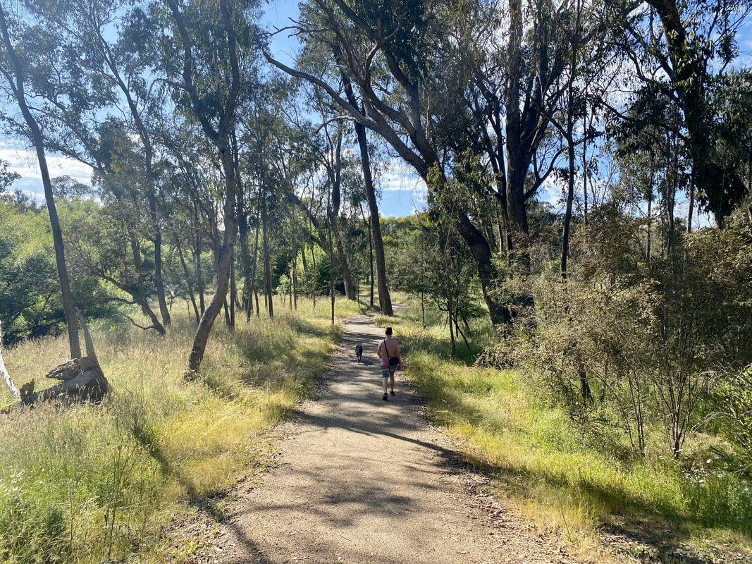
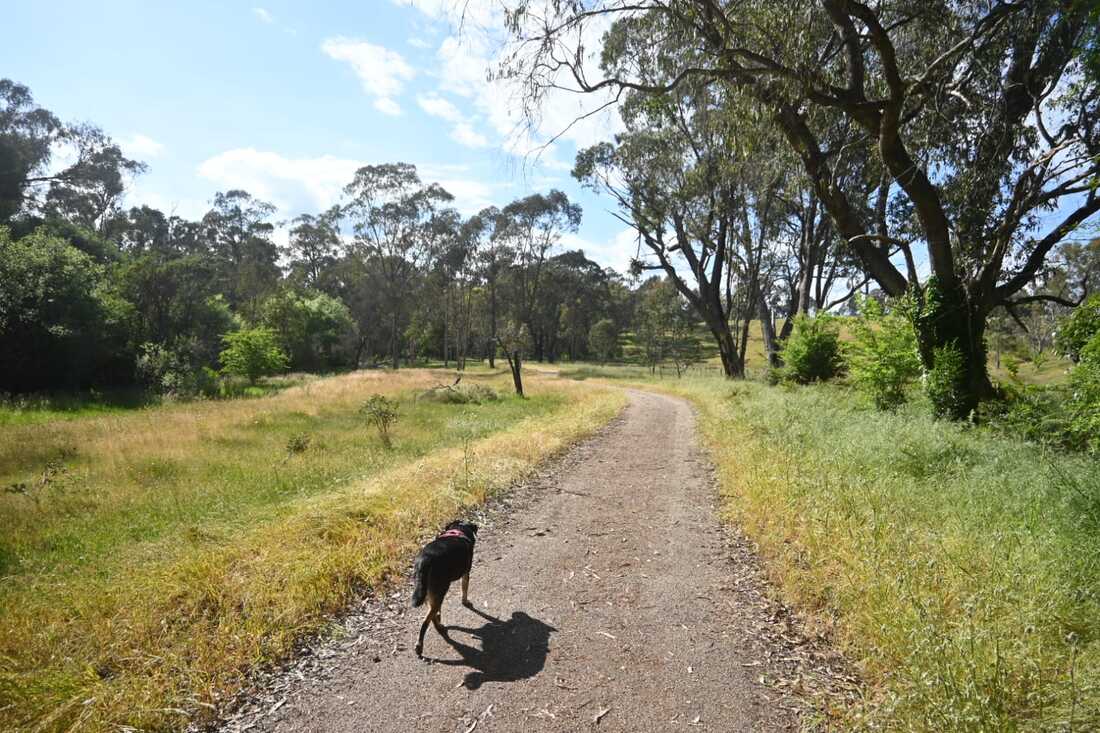
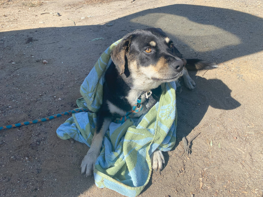
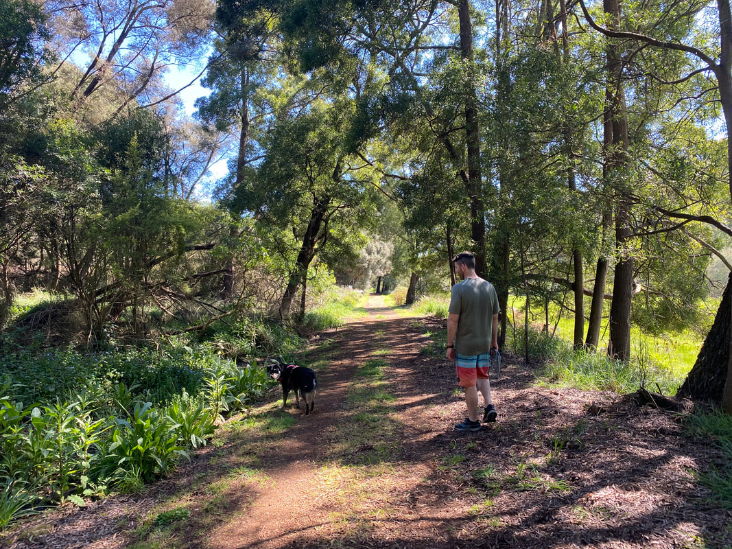
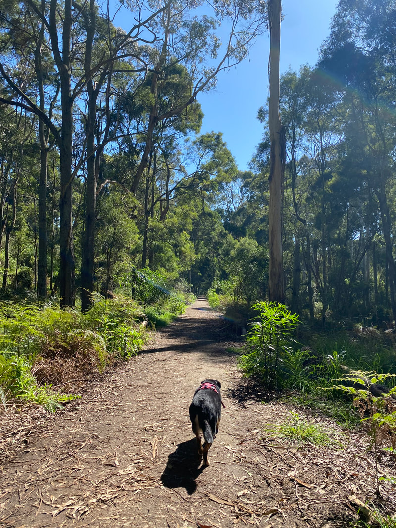
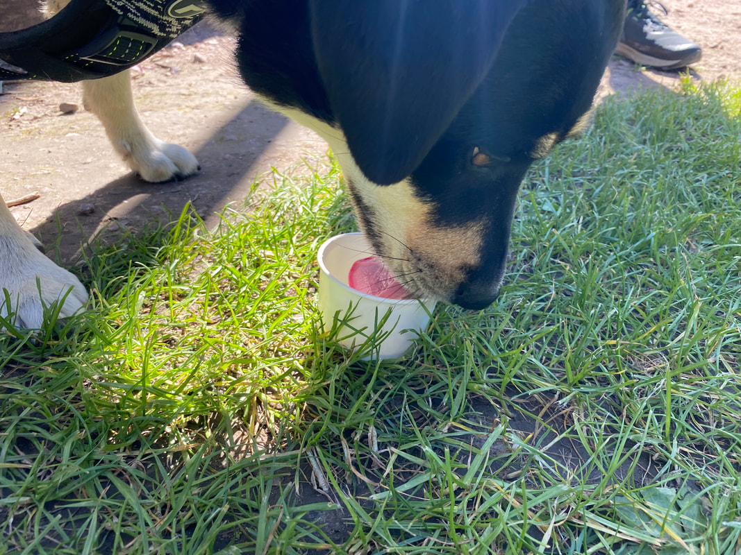
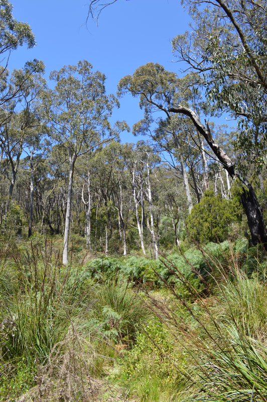
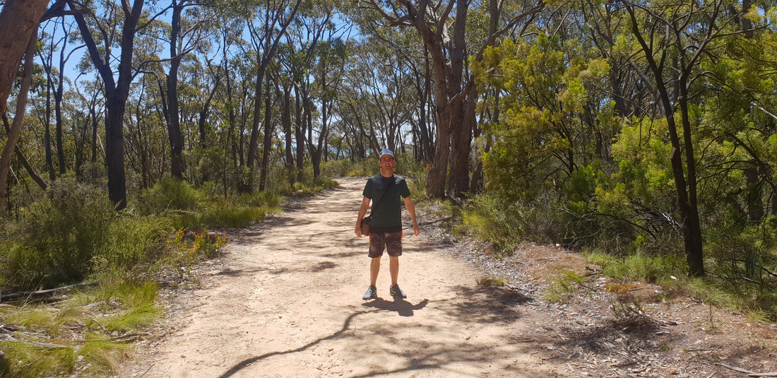
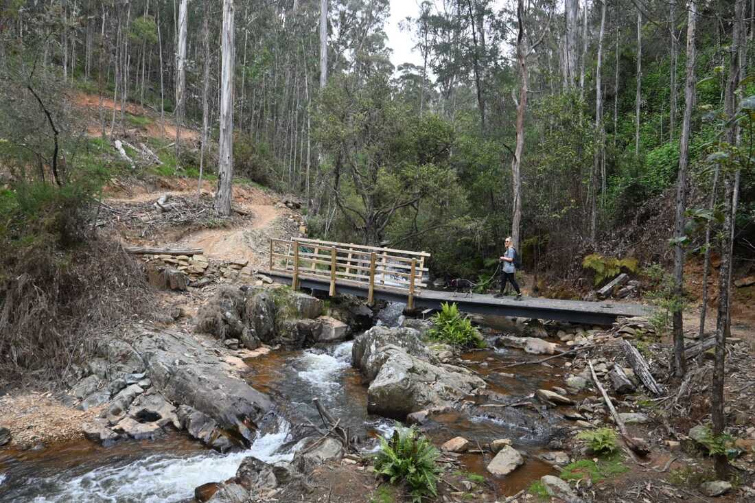  To say Benny was excited to be untethered from the lead for this 9km approx. out and back walk was an understatement. His entire demeaner changes when free to wander at his pace and sniff or eat kangaroo poo at his leisure, it’s also awesome for us as we can keep walking knowing he’ll sprint to catch up, rather than mindless waiting for him to do this dog thang before continuing; so it’s smiles all round and this trail didn’t disappoint, the trail meanders beside the creek and rural properties, and we saw many others, cycling, walking dogs, running. 
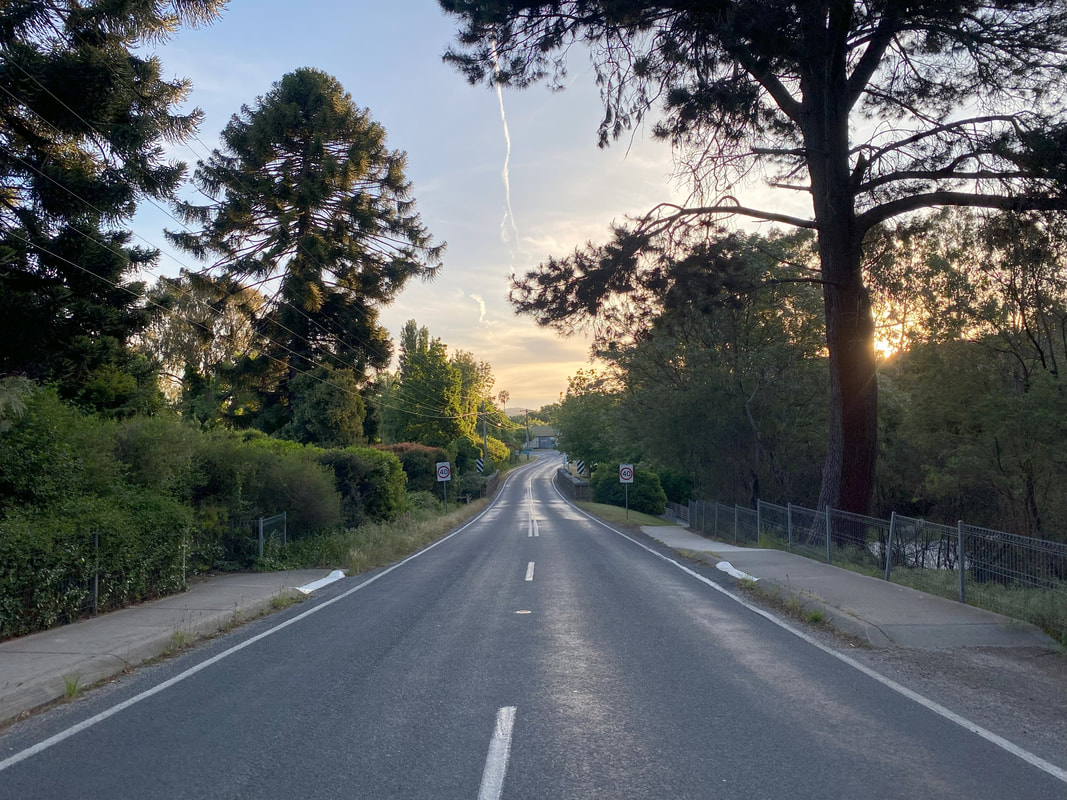
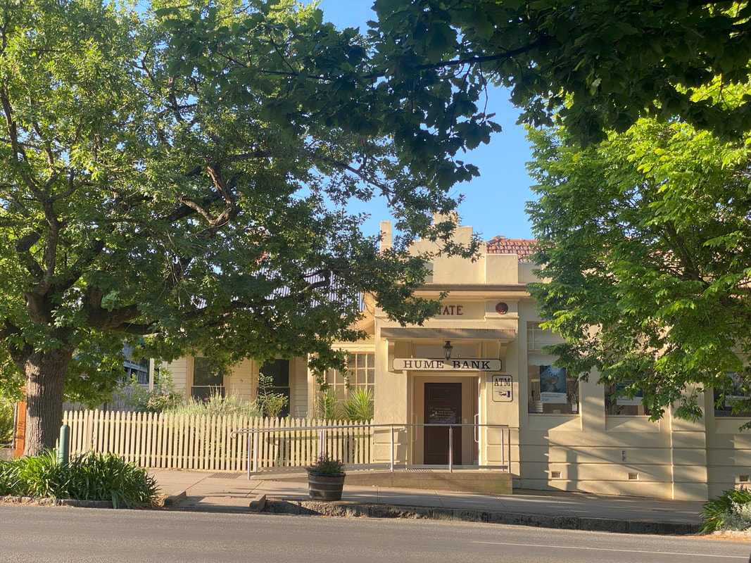
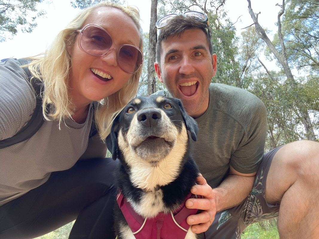
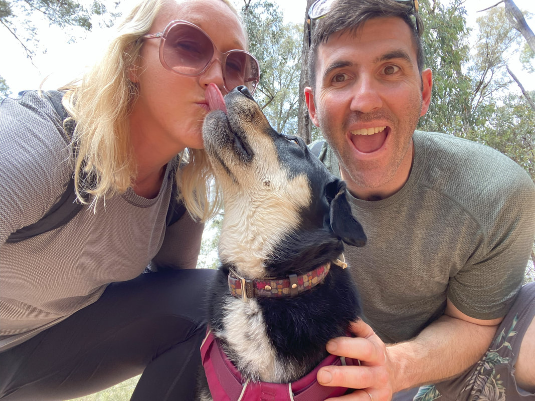
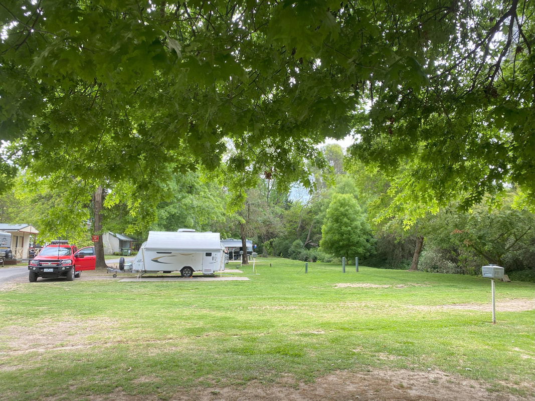
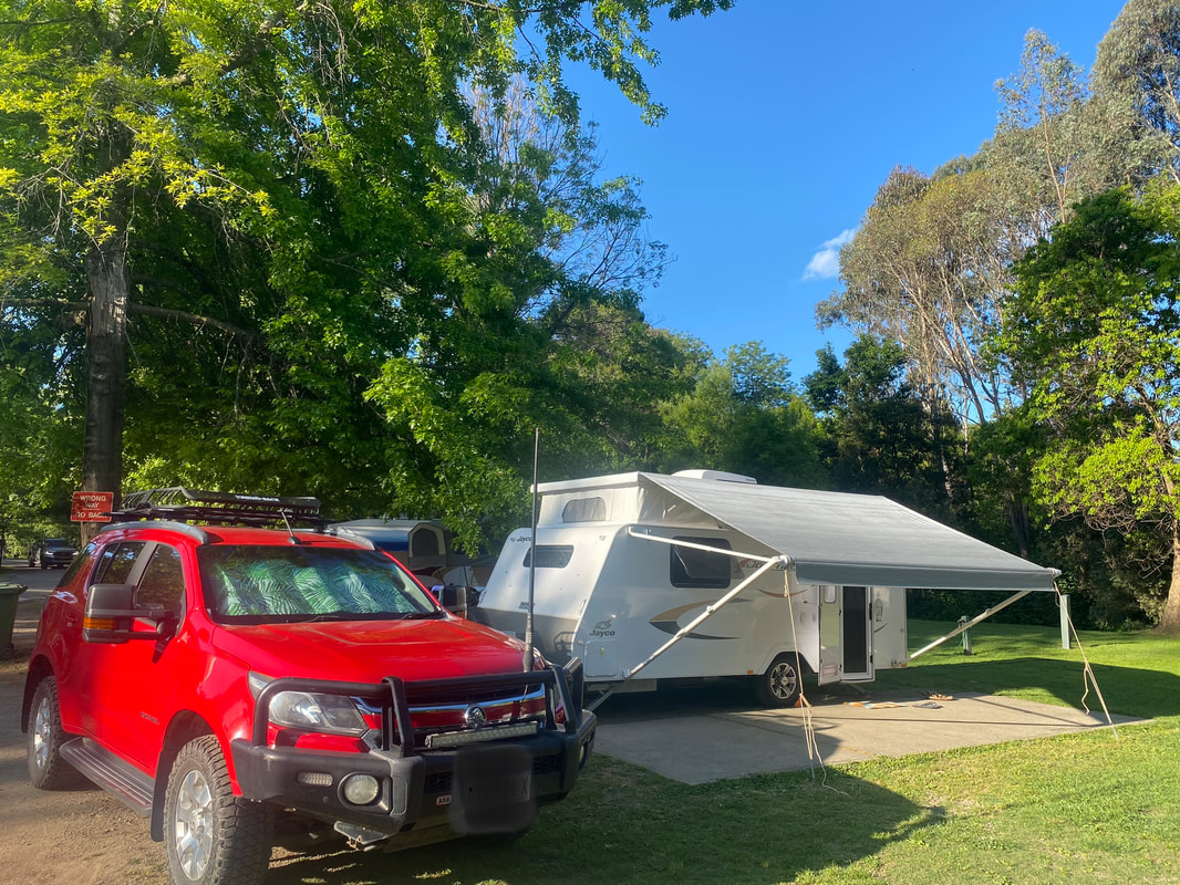
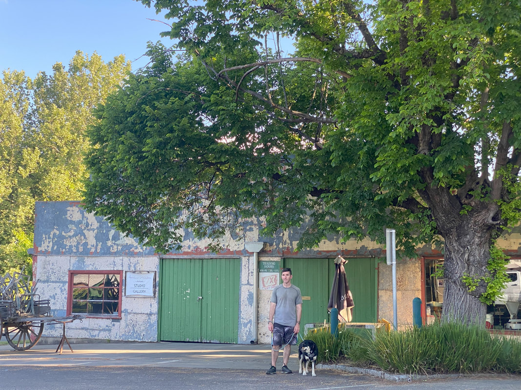
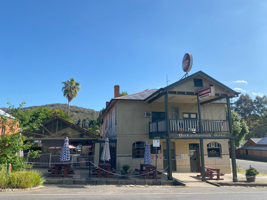
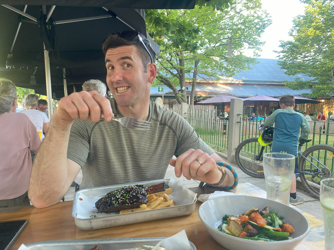
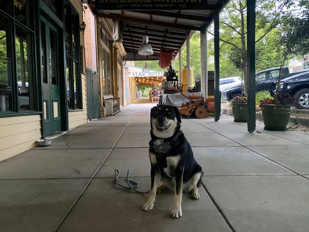
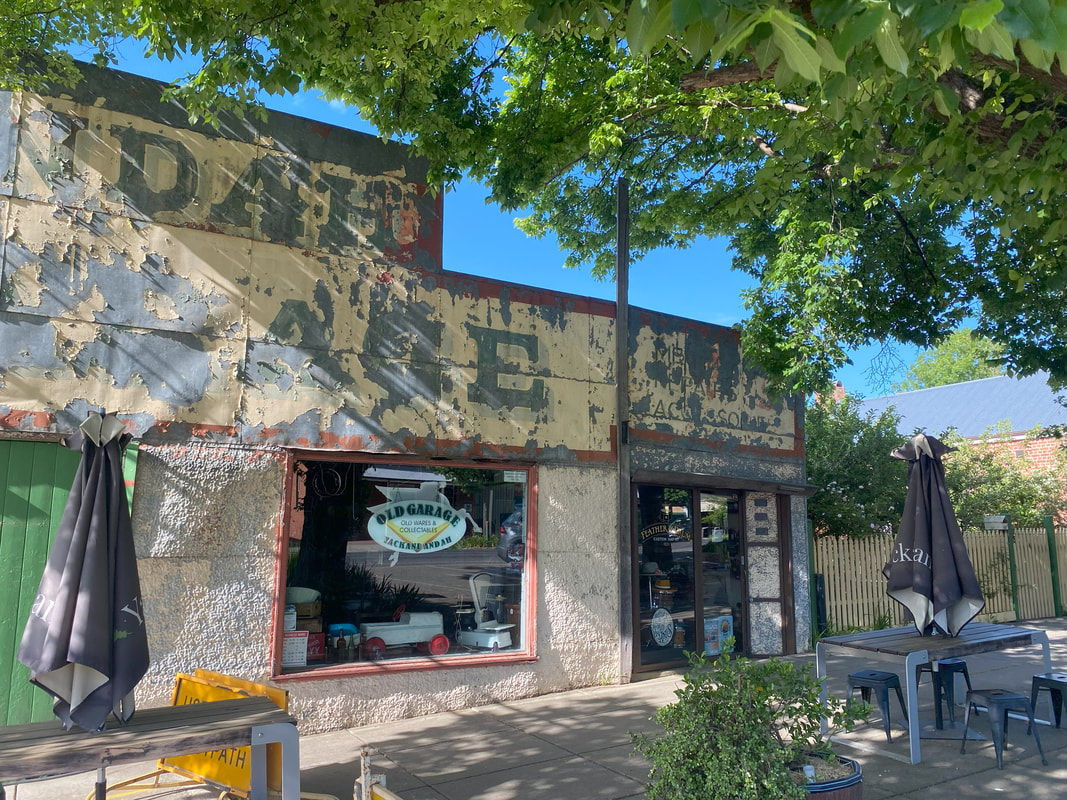
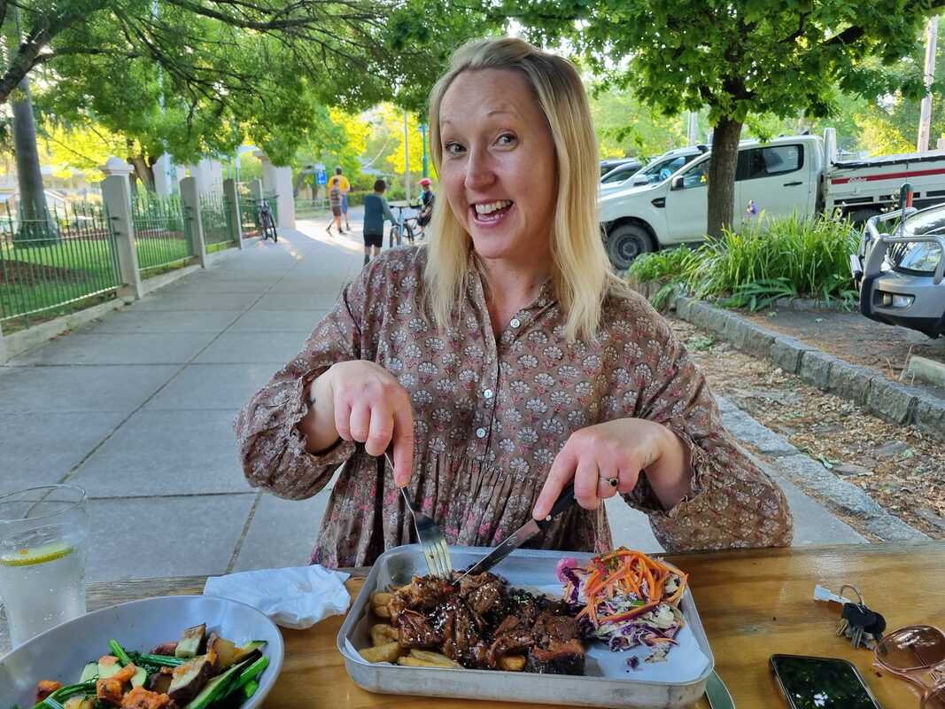
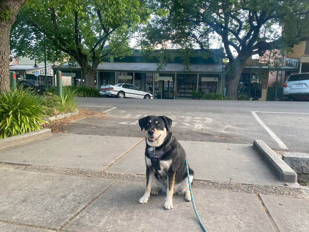
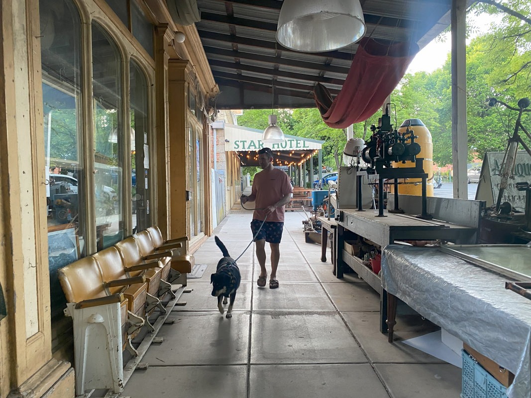
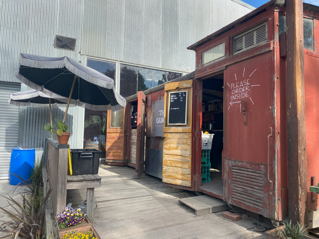
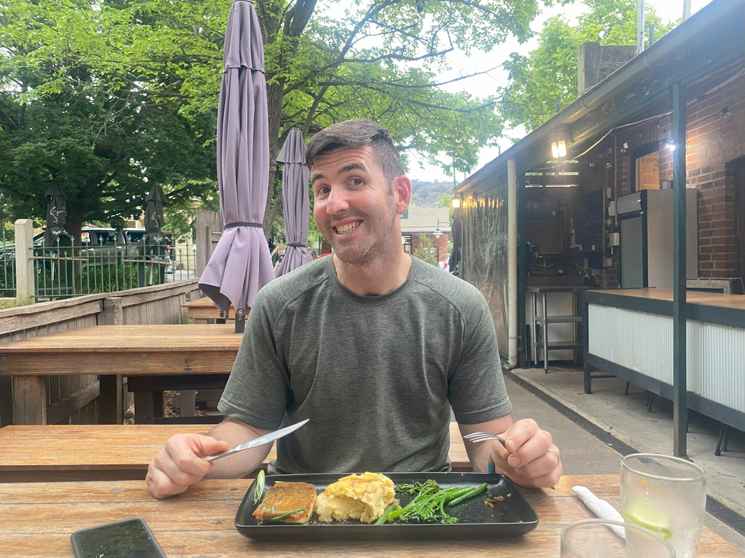
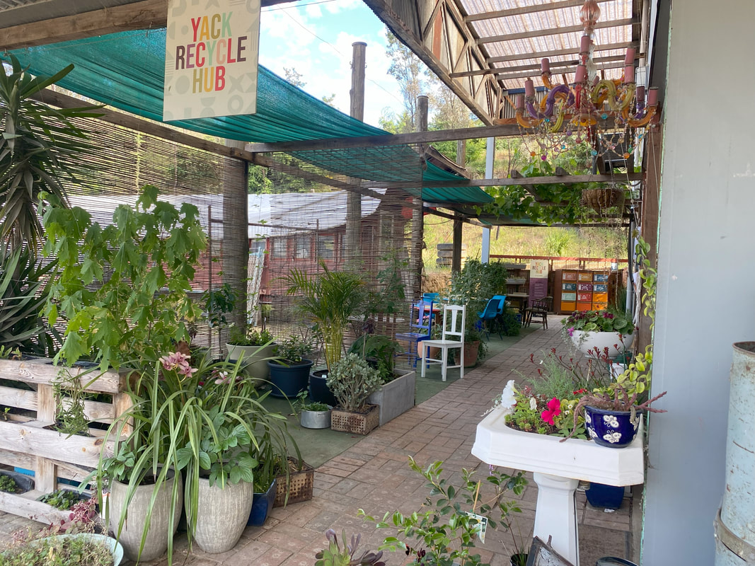
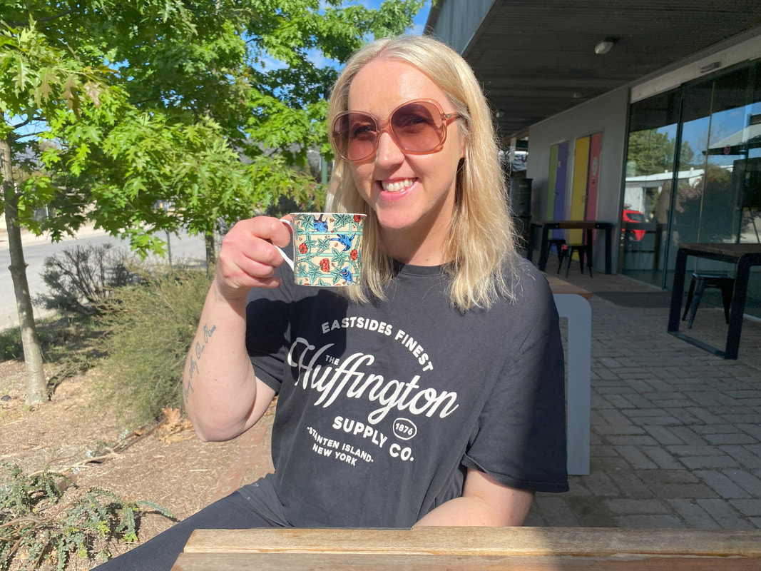
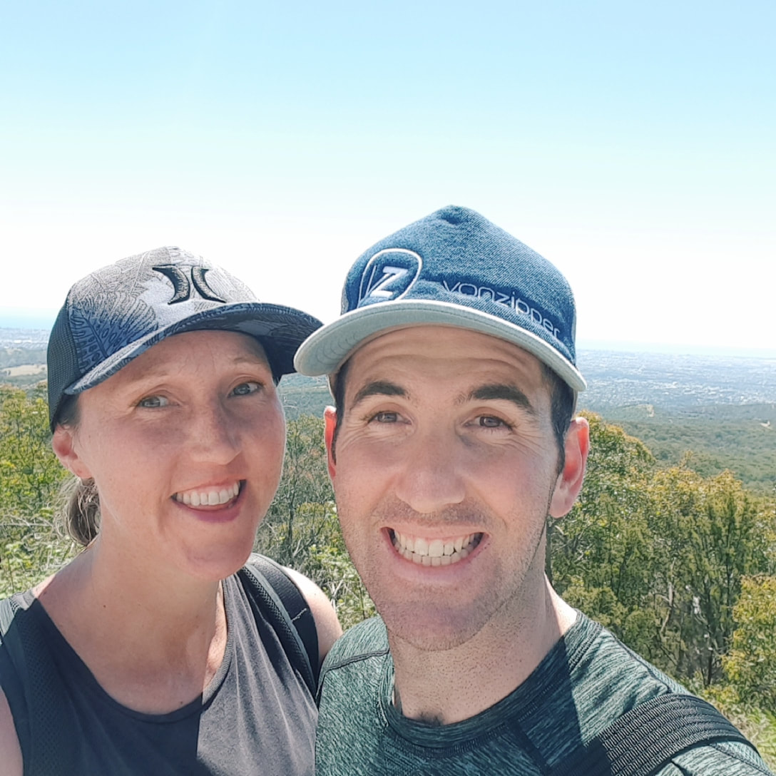
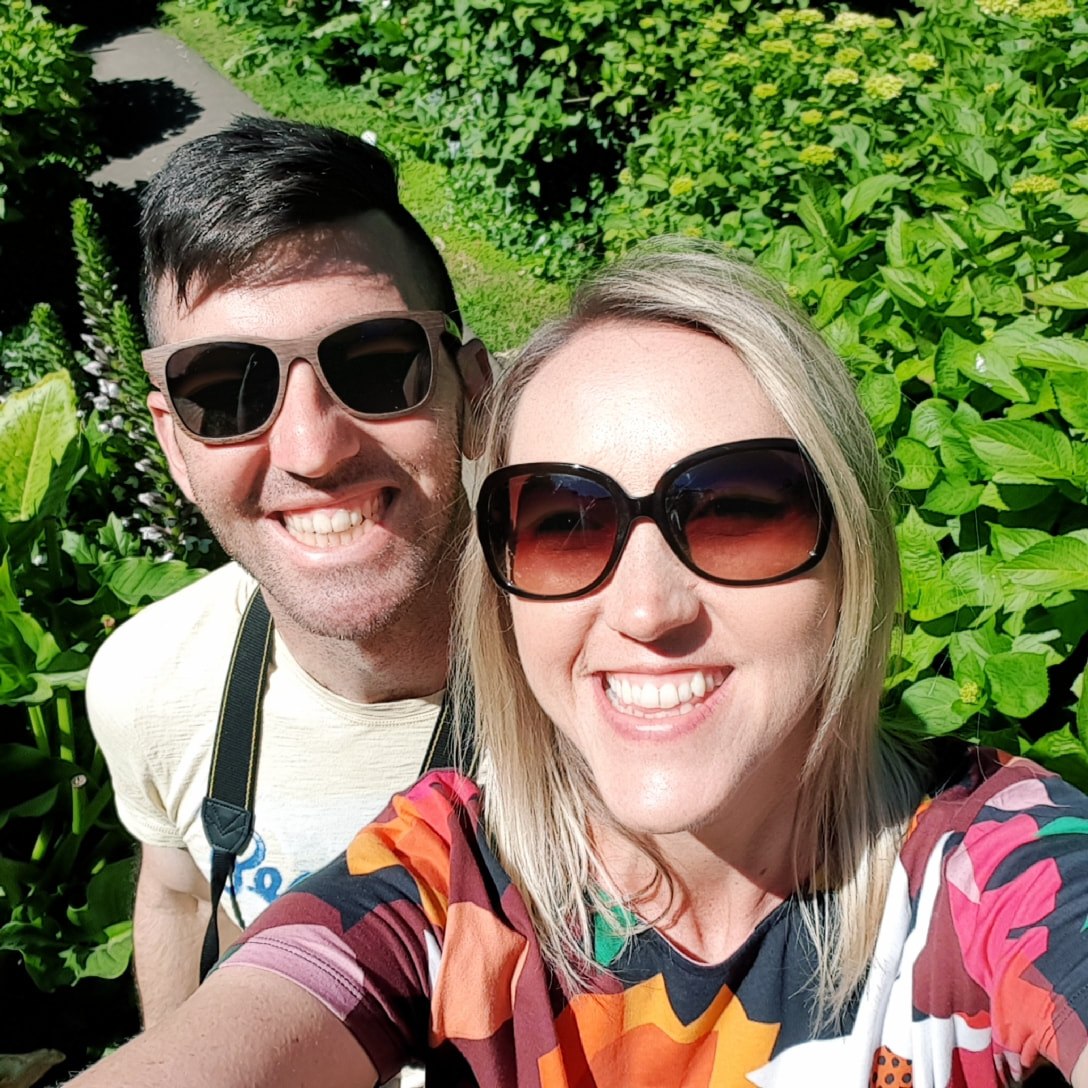
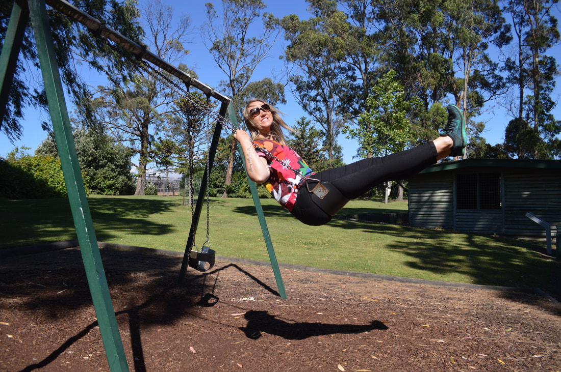
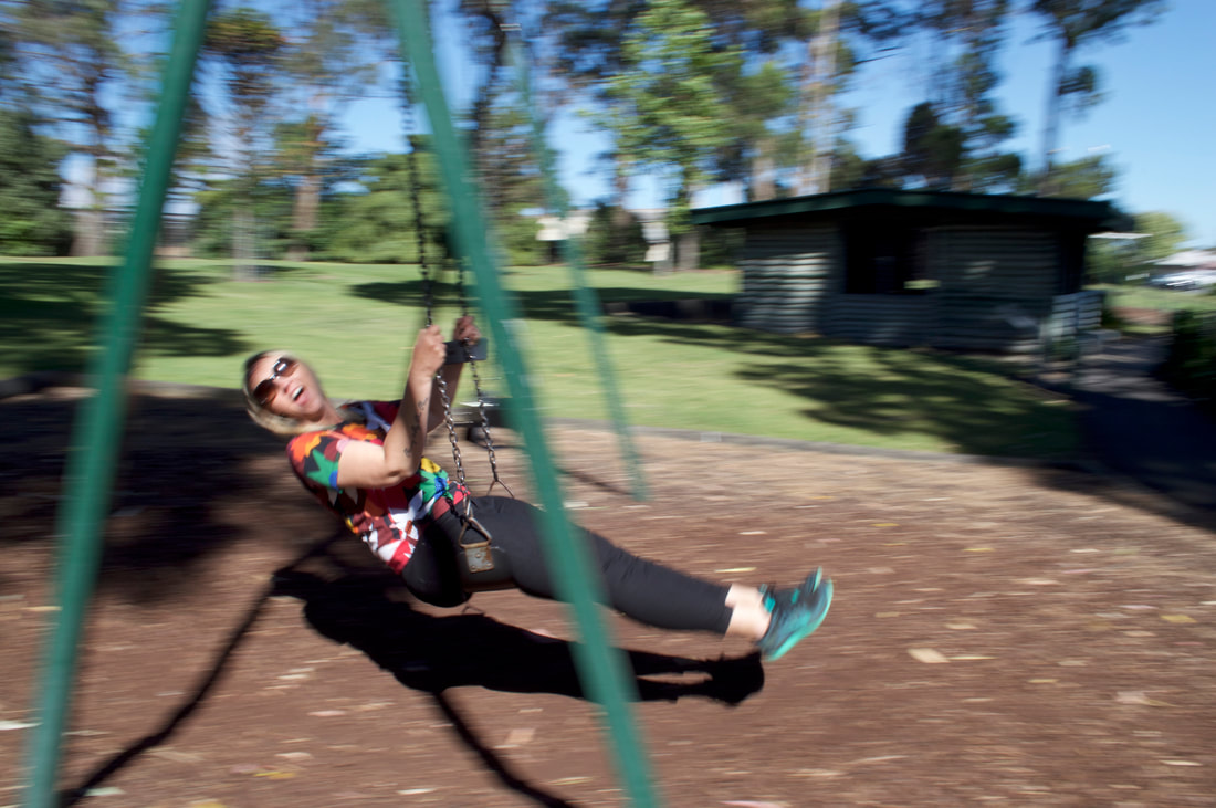
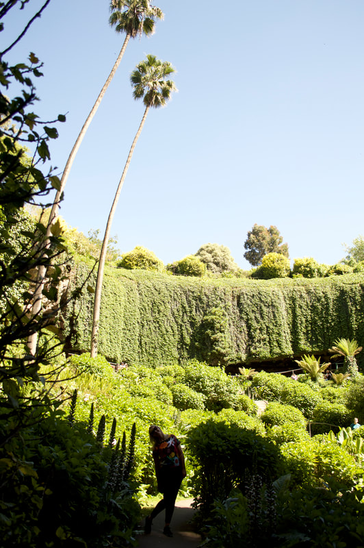
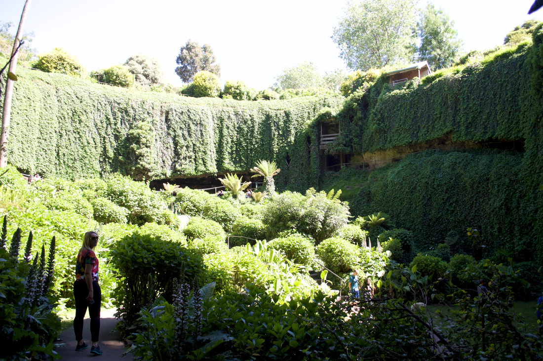
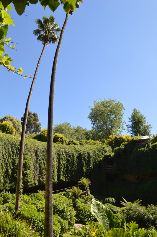
It was the Melbourne Cup public holiday weekend in Victoria which coincided with our birthdays, and although we don’t celebrate (either event), we do like to get way and where better to spend four glorious days than in Yackandandah, nestled within the Victorian high country, a short distance from another favourite place of ours, Beechworth. We’d had the caravan park in Yackandandah booked for months and are so grateful we did; it was packed (for our first three nights) and despite the less than satisfactory amenities the location adjacent to the creek and short stroll to town made it more than perfect. The Yackandandah Star Hotel radio jingle had been reverberating as an ear worm in the lead up to our adventure into the mountains and we were elated to discover the vibe hadn’t changed since we last visited in 2018 and that the food on offer was even better than we remembered; dinning in for the four nights of our stay, indulging in the beef brisket and barramundi, most likely the best we have tasted (although I did say this about the barramundi we ate at the Threeways Roadhouse, NT). Just out of the main town centre we discovered a groovy little coffee shop, located in an old train carriage called The Guard which serves toasties and hot drinks in mugs, this place doesn’t believe in takeaway cups and we loved that; having to drink in from a mug chosen from an odd assortment, rather than get a takeaway paper cup made us slow down and enjoy the moment of being in this beautiful town. We love everything about Yackandandah!
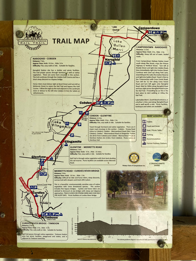
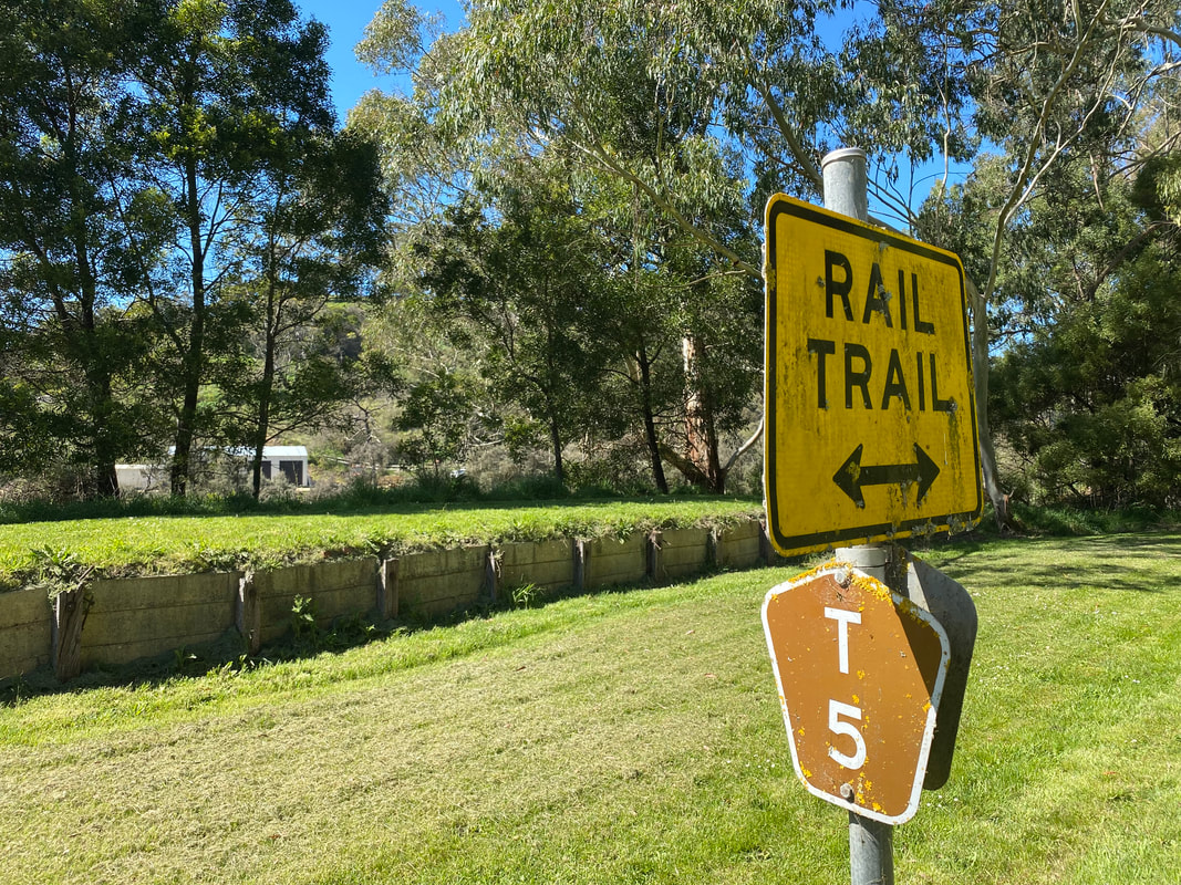
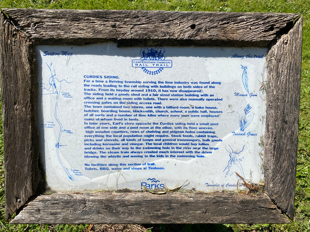
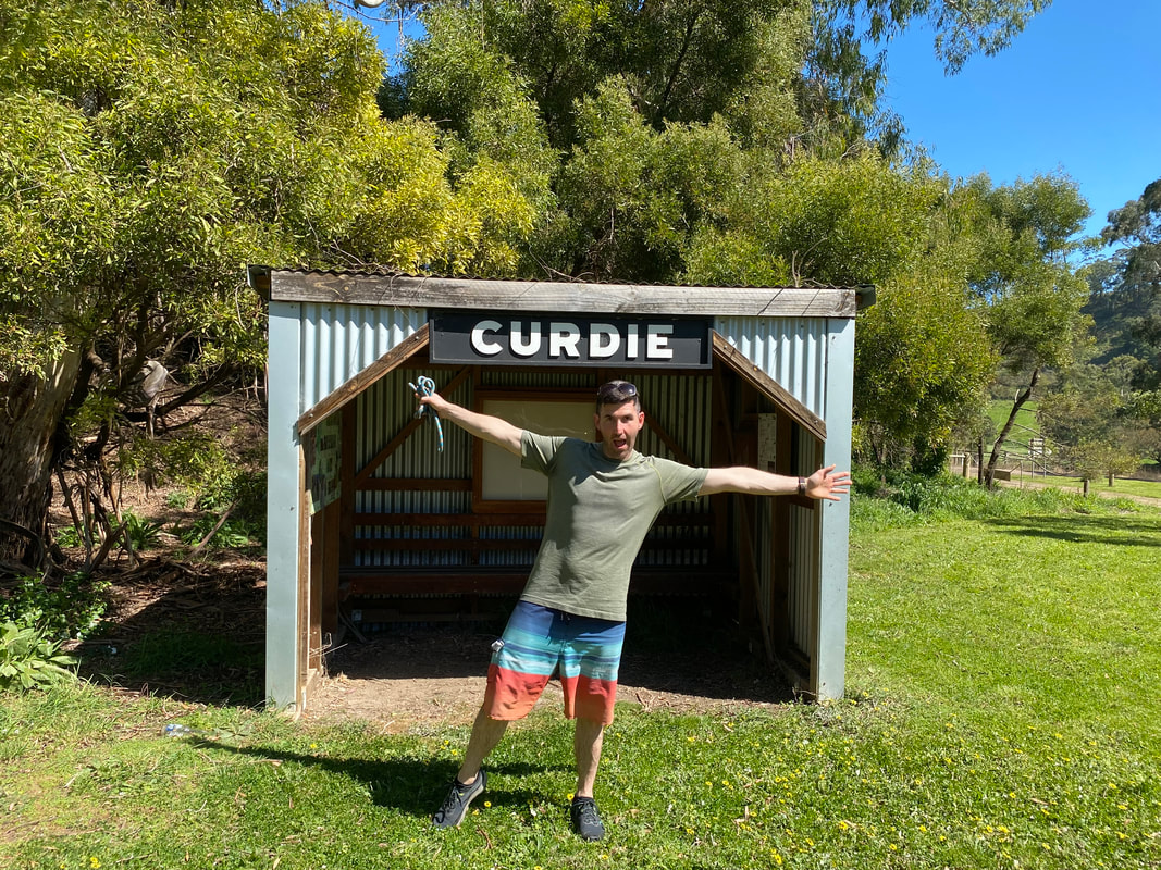
 Timboon to Curdie Rail Trail Return Walk
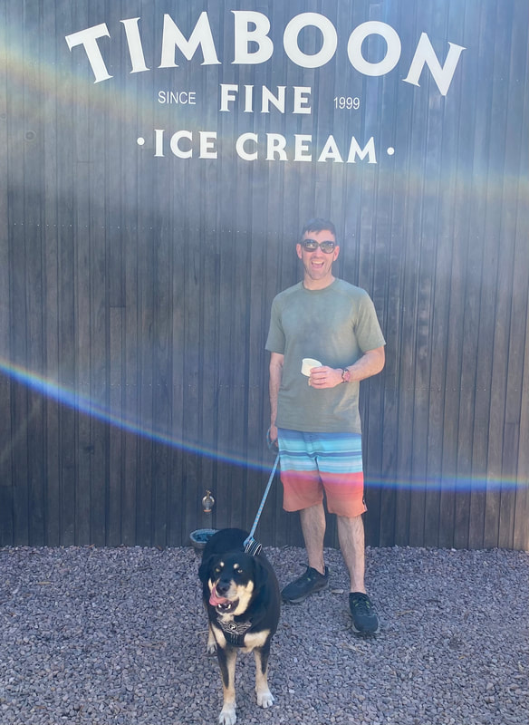
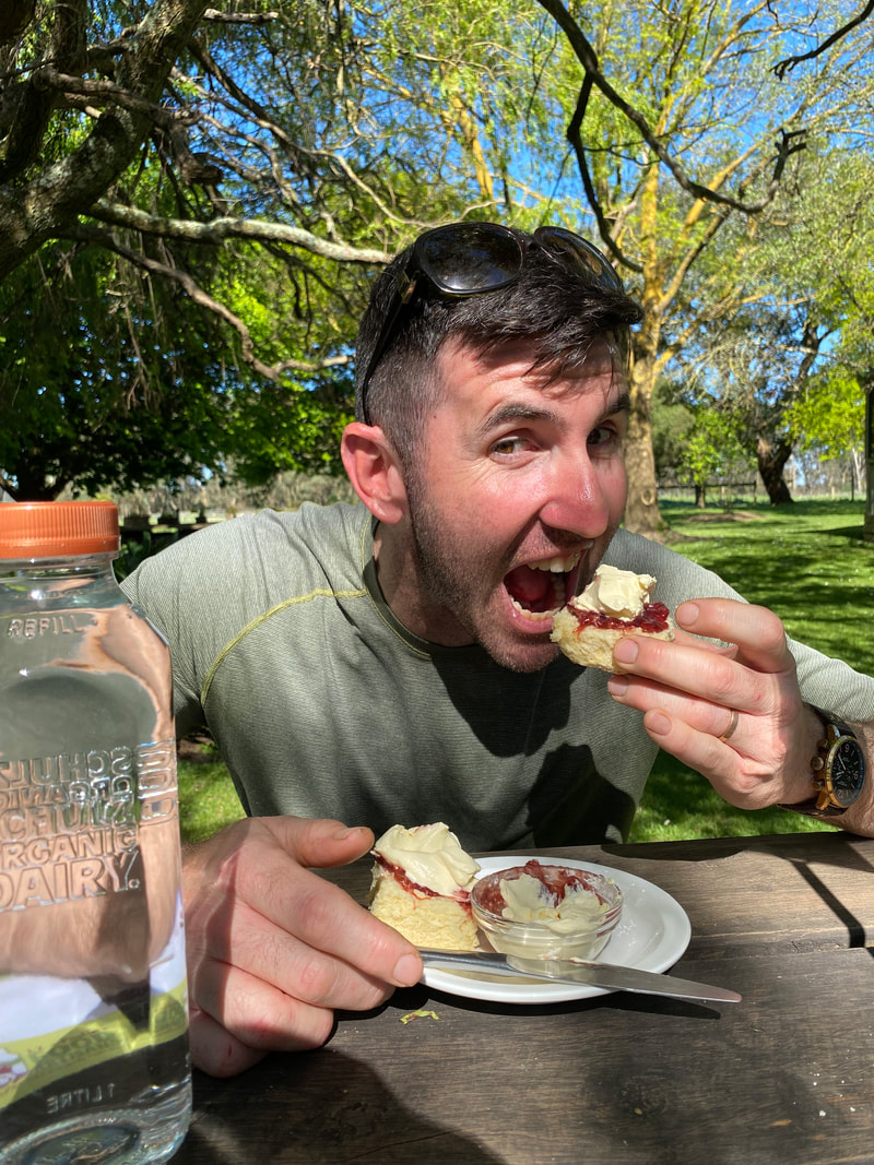
Timboon Fine Ice Cream & Schulz Organic Dairy Scones
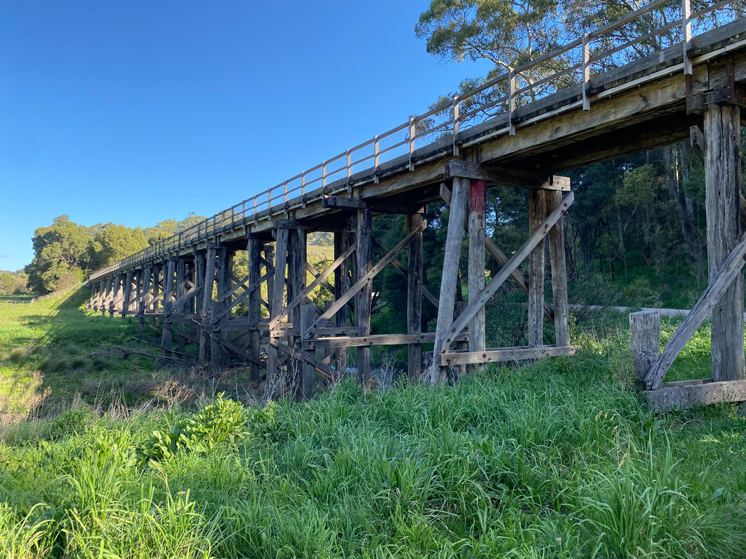
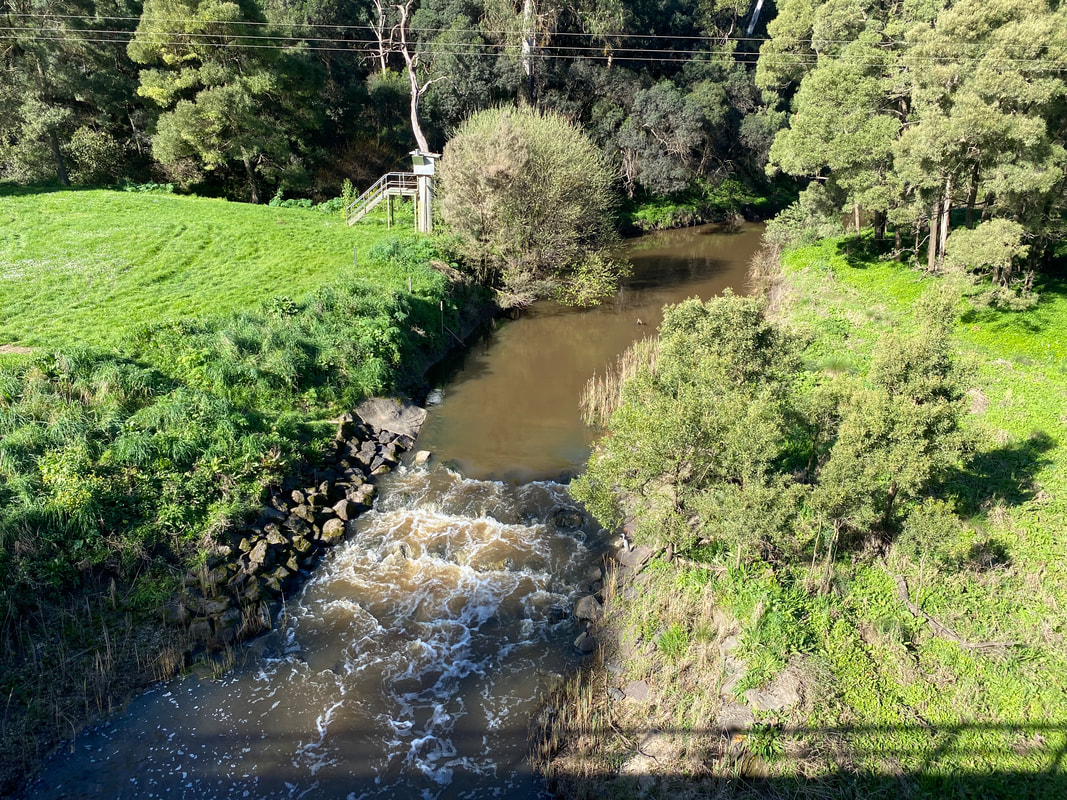
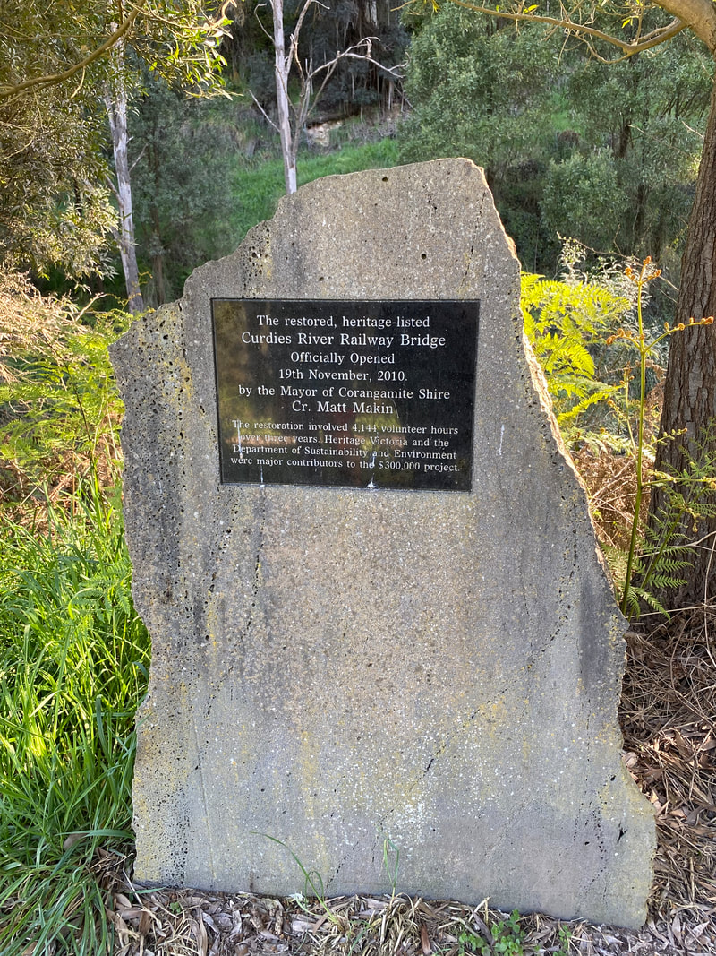
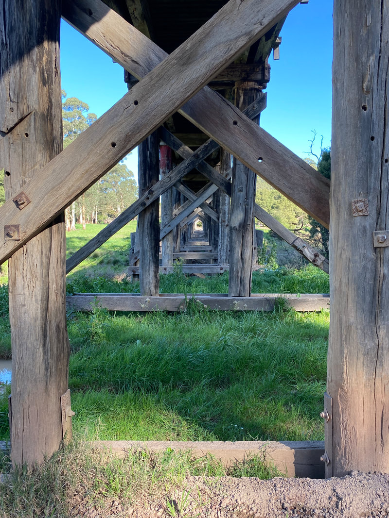
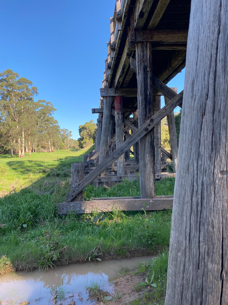
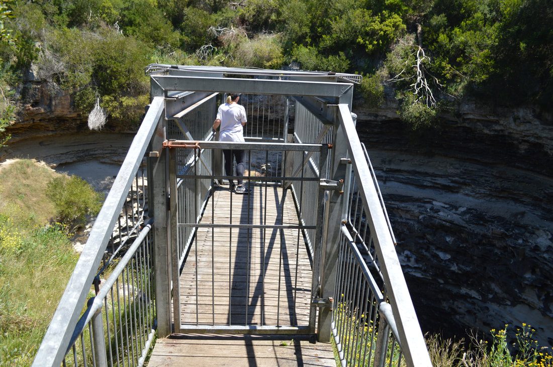
Curdie Trestle Bridge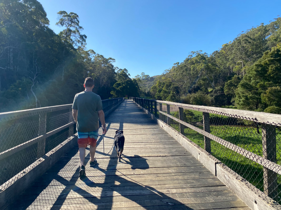 The rail bridge over Curdies River was constructed in 1892 to facilitate the Timboon-Camperdown Line and provided access to the coastal town of Port Campbell and helped local creamery and butter produces access markets to sell their products. The bridge was constructed of local Heytesbury forest timber and displays both utilitarian bridge and wharf building techniques. The rail line was closed in 1986 and the bridge was restored to form part of the Timboon-Camperdown Rail Tail. The bridge is one of the few surviving railway structures of this type in Victoria.
 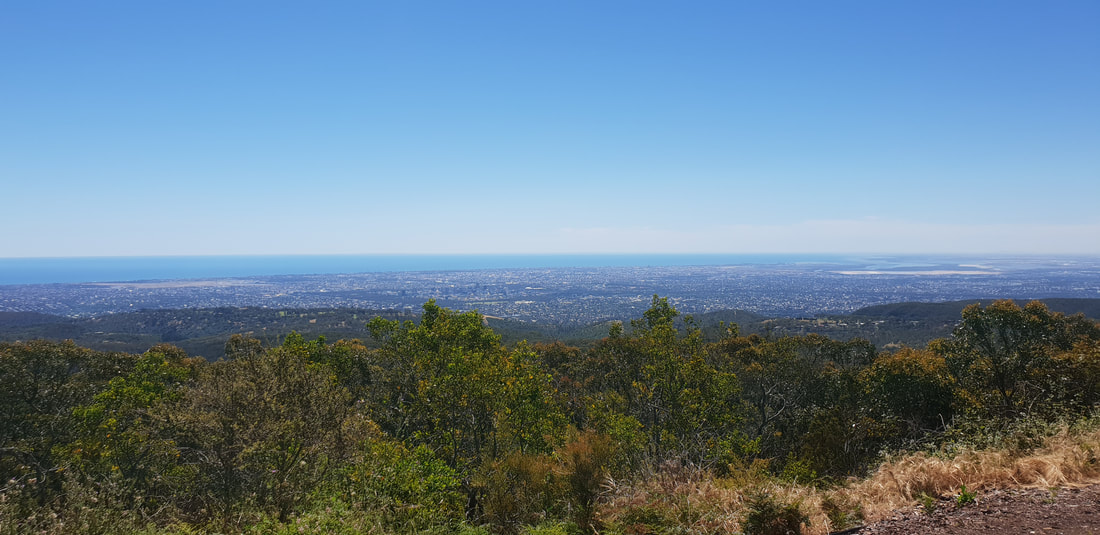
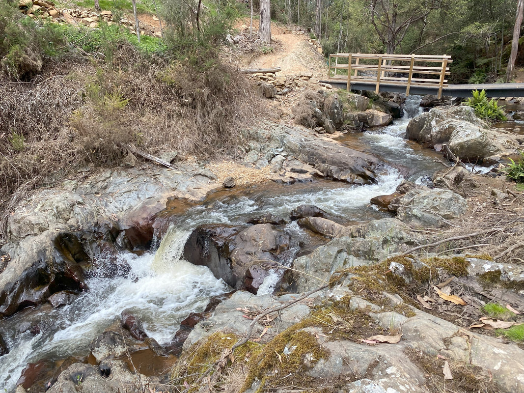
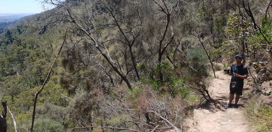
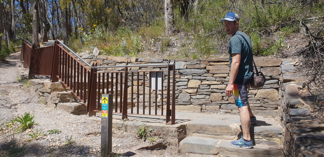
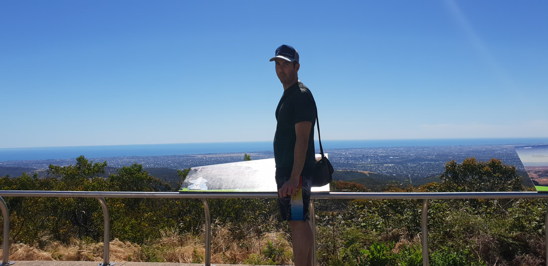
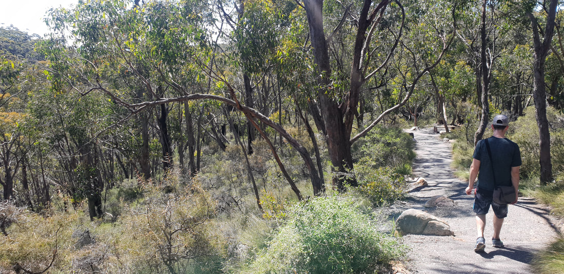
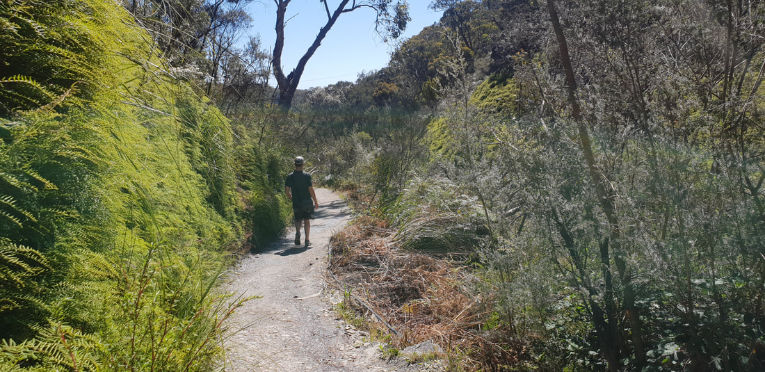
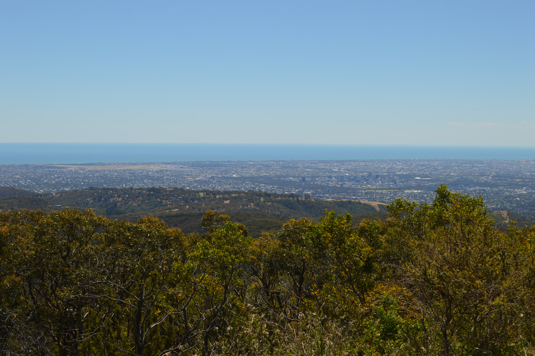
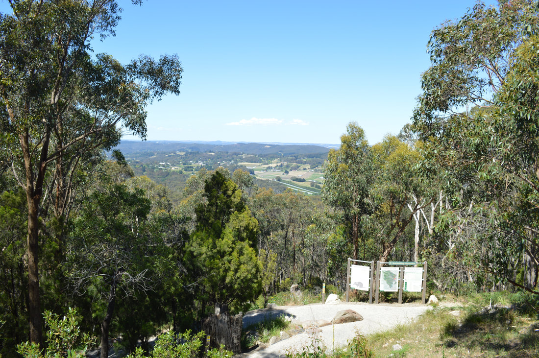
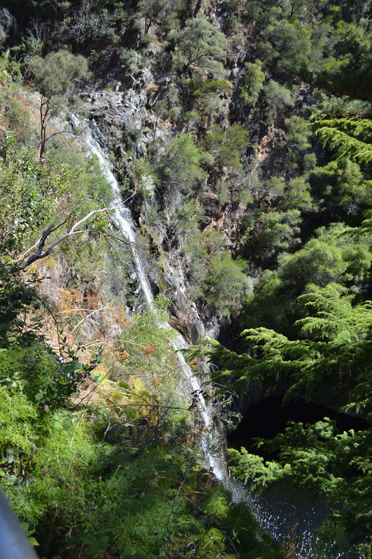
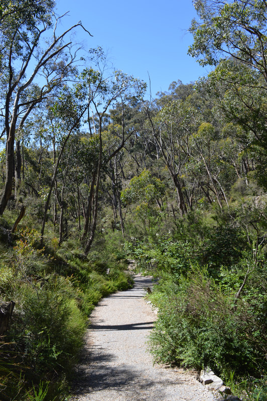
There are two walking track options to reach the summit. We chose the Adventure trail a 5 kilometre strenuous up-hill track from the Waterfall Gully Carpark. After a false start, which lead us in the opposite direction heading back towards the carpark we doubled back, found the correct track and were on our way. The track traverses for 5 kilometres, dirt tracks and fire trails then eventually connects with the original track closer to the summit for an epic practically dead-straight up-hill slog before reaching the top in a climax of burning calf muscles, beetroot red faces and sweat-stinging eyes that are half blinded by the beaming white obelisk at the top, called Flinders Column, glaring back at us in the bright afternoon sun. Once at the top we opted to descend via the 4 kilometre original track that is now mostly sealed, but still very very steep. I'm not sure what was harder going; up or down... The walk to the summit was energising and being serenaded by sweeping views over Adelaide city and the surrounding suburbs felt like an achievement and was well worth the burning calf muscles. Admittedly we could have driven to the summit, but where's the adventure in that...
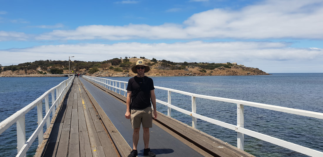
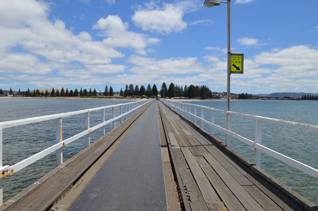
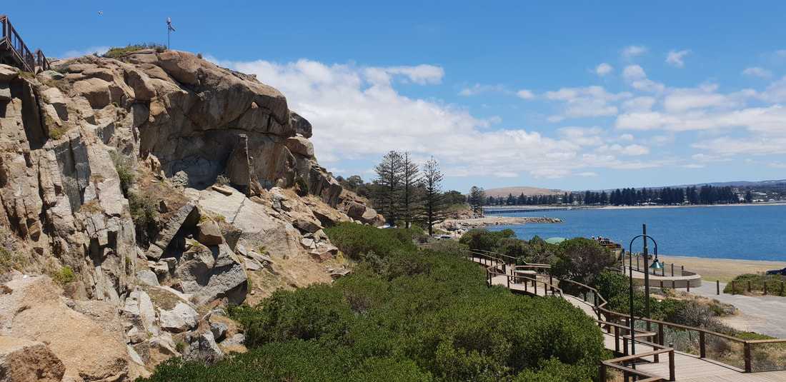
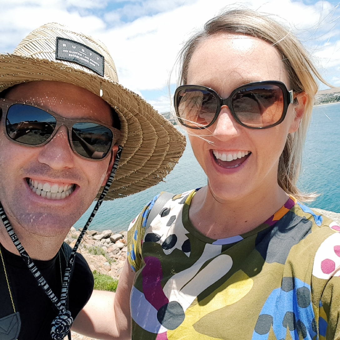
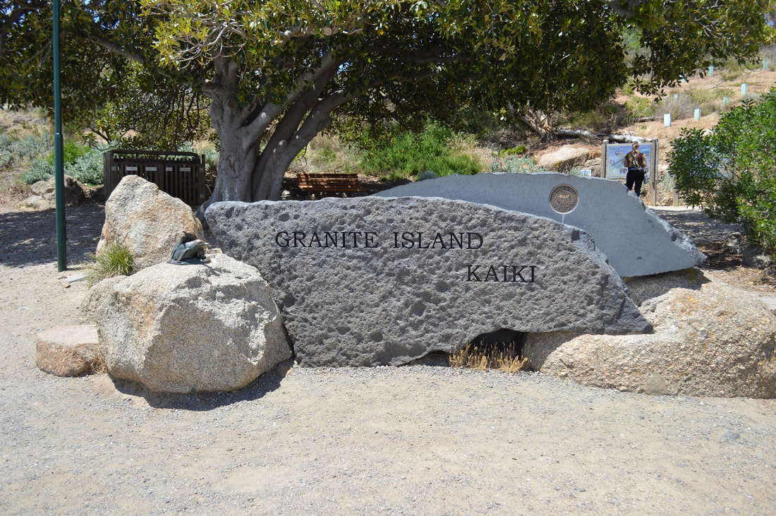
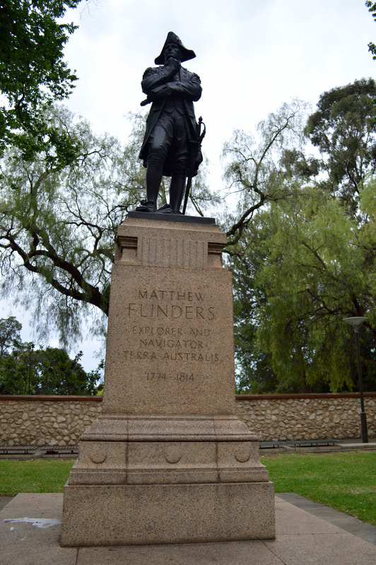
On one of our days in Adelaide, we took a short 60 kilometre drive to Victor Harbor. It's a town with quite an interesting history, which all began at Encounter Bay. The bay that Victor Harbor sits on was first discovered by Matthew Finders in April 1802 while he was surveying the southern coast of Australia from the west. The most interesting part is he spotted French explorer Nicolas Baudin in Le Georgraphe near the Murray Mouth several kilometres away. The French and the English were at war during that time, both ships had documentation from each other's nation’s government stating they were not ships of war and were purely on scientific missions. The ships banked ashore and shared paperwork. From that day where they banked, it was named Encounter Bay by Matthew Flinders. In 1837 Captain Richard Grozier anchored off Granite Island just across shallow waters of where the town is today. He named the isolated waters Victor Harbor, after his ship HMS Victor. Not long after, two whaling stations kicked off at Rosetta Head and Granite Island, putting South Australia on the map for whale oil exports. The town of Victor Harbor was laid out on the beach in 1863 after the horse drawn tram extended it’s services from Goolwa. Hindmarsh Falls
On the drive towards Victor Harbor, we pulled in for a look at the Hindmarsh falls. A short drive off the Hindmarsh - Tiers Road takes you to a hidden gem in the dry country. Dark green vegetation and running water make for a pleasant water fall. We made our way into Victor Harbor, parked up at the esplanade and went for a stroll around the town. Heritage listed buildings like the savings bank, telegraph office, cinema and railway stations aide you to imagine what the town was like back in those days. Its a tidy town and a breeze to walk around with its relaxed atmosphere. Granite Island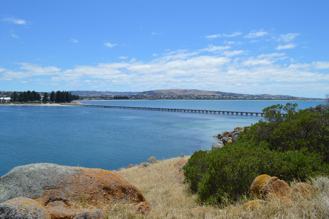
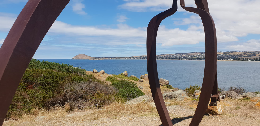
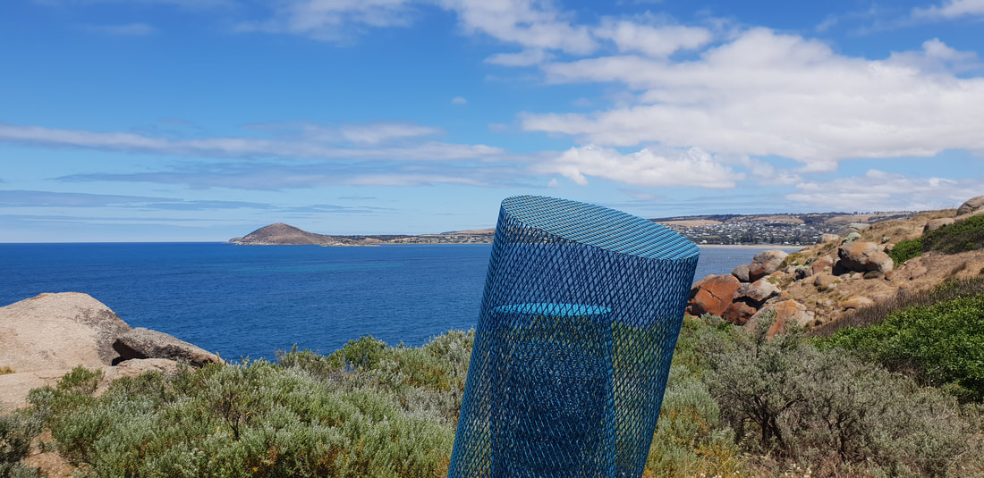
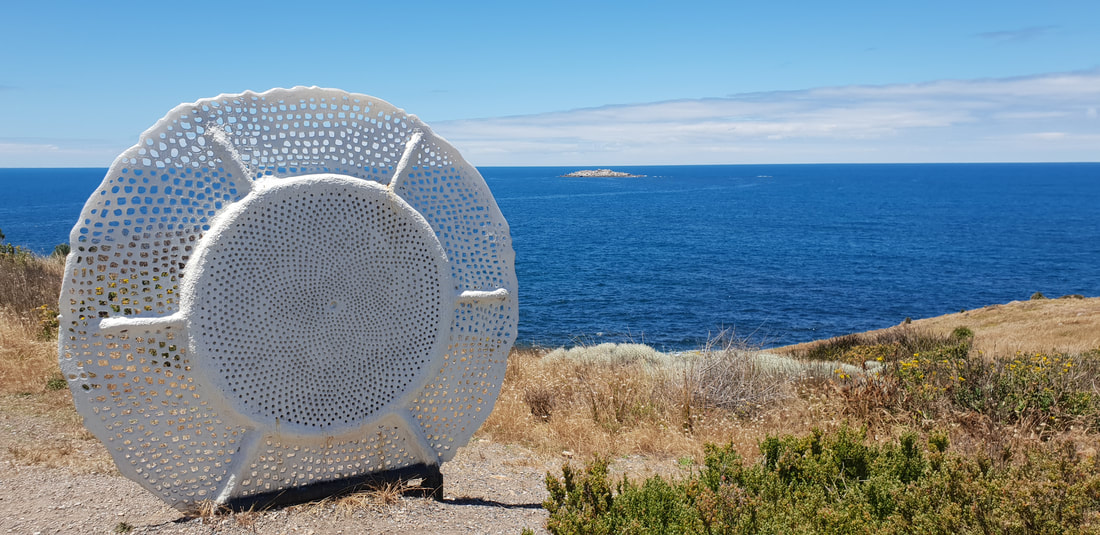
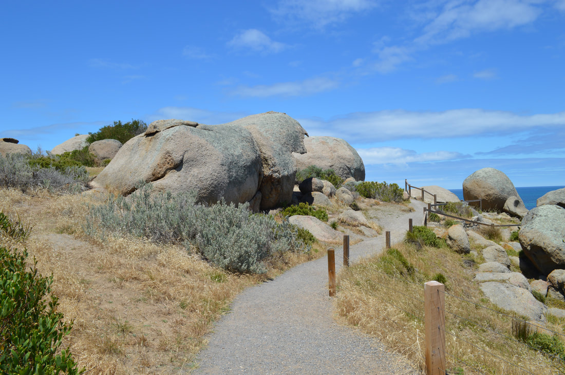
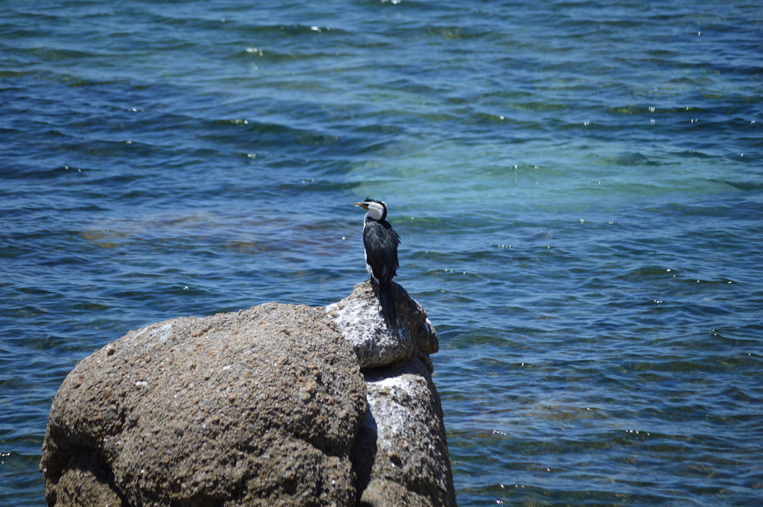
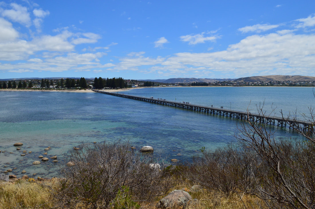
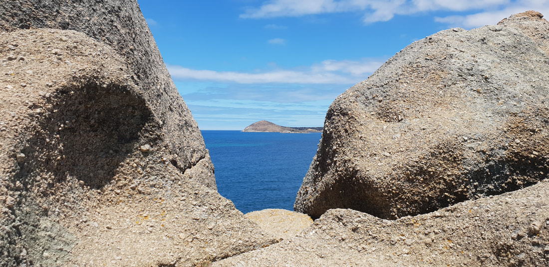
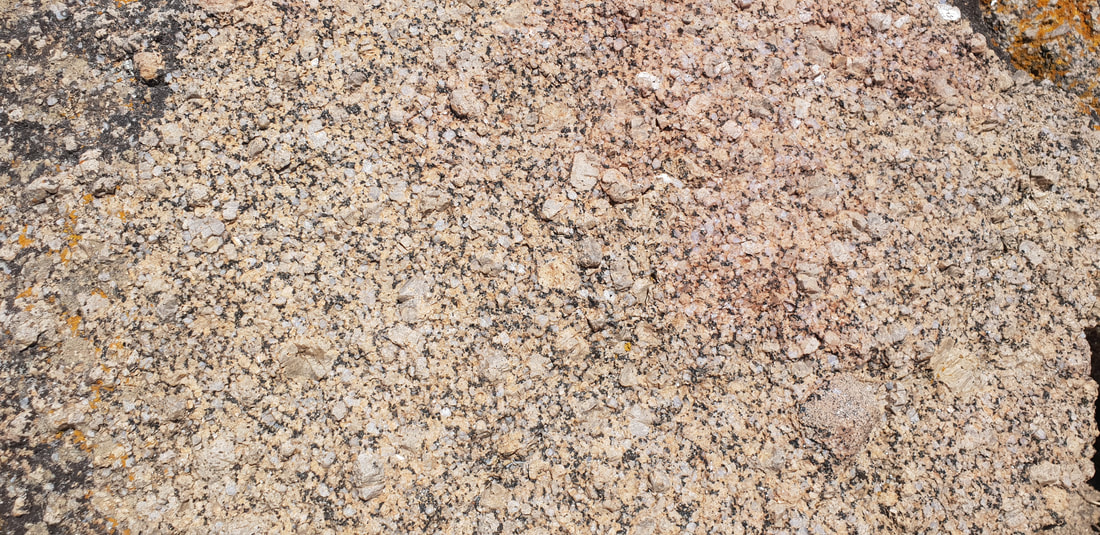
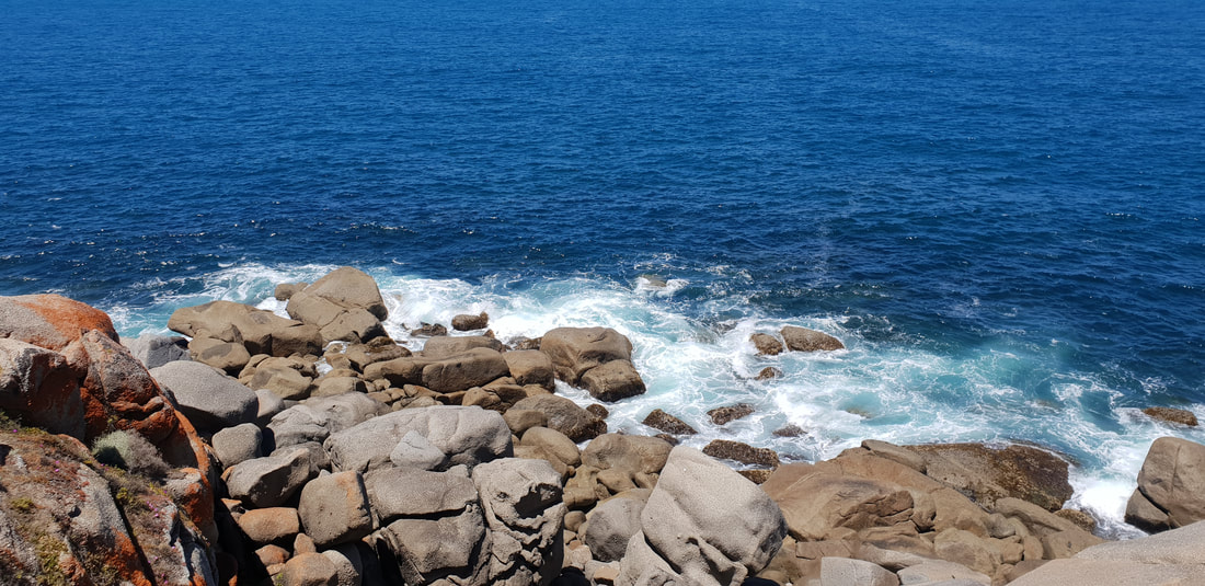
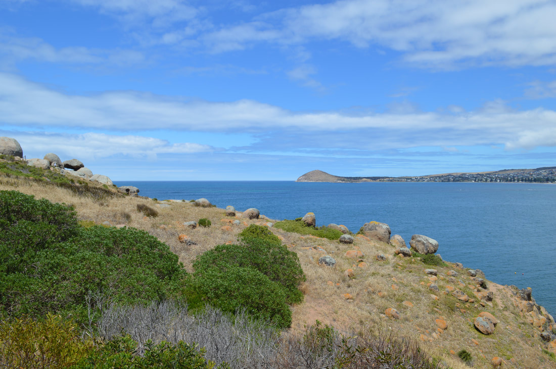
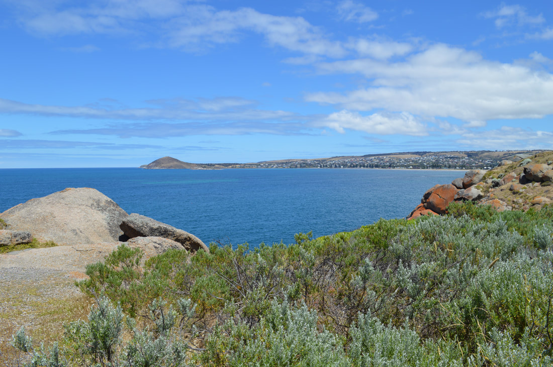
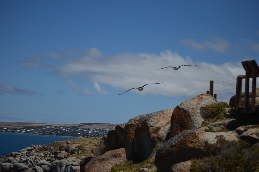 We headed out for a walk across the bridge to Granite Island and were quite shocked to see the horse drawn cart still happening. This idea of transport worked great for back in times without electricity or internal combustion to transport granite and whale products. To be using this primitive idea now to move sloths across the bridge who couldn’t be bothered walking is completely impractical. The horse looks like it breaks it’s back towing the tram along the tracks, it wouldn’t be good to know how bad it was for them when they were dragging granite and other goods around. We walked around Granite island on the walking track. The leisurely stroll makes for splendid views across the waters of Victor Harbor back into the town. Some artworks on the way kept us entertained alongside some of the birdlife doing their daily routine. On the easterly side of the island was some more views out towards sea eventually bringing us back to the bridge. We also noticed a couple of penguin chirps on our walk, a colony used to beach on Granite Island, over the years the numbers have declined drastically to a growing New Zealand seal population and vandals. We finished off the day with a delicious sweet potato fritter from McLaren Vale and made our way back to Florence. We did enjoy parts of Victor Harbor, pleasant heritage buildings and a walkable island were certainly the highlights. A few of the tourist attractions seemed well past its prime, the penguin viewing area looked like it hasn’t been used for years and the Horse Drawn tram feels like Victor Harbor’s last tourism hope, which looked a little depressing. The easy going pace made for a relaxing day in Victor Harbor, not a bad place to visit, but not again. Around Town
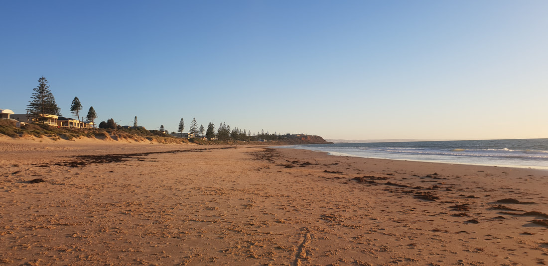
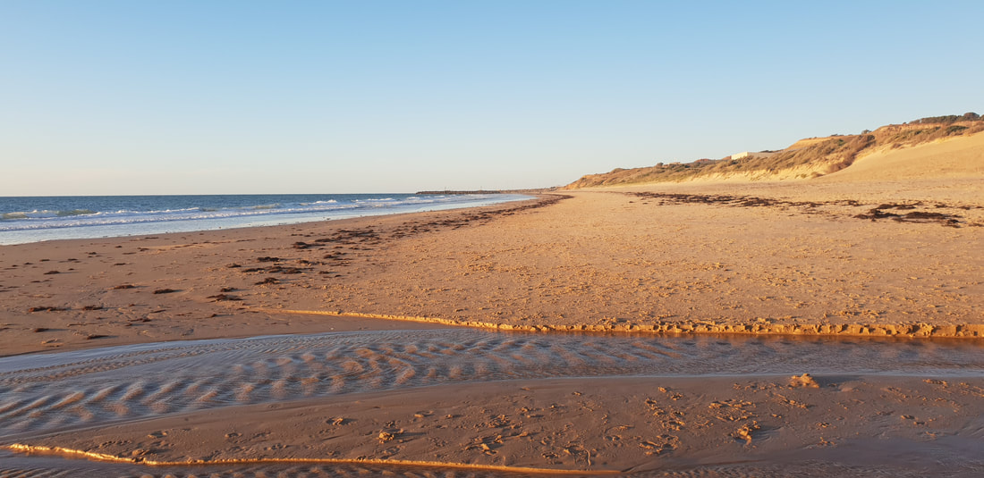
Christie's Beach
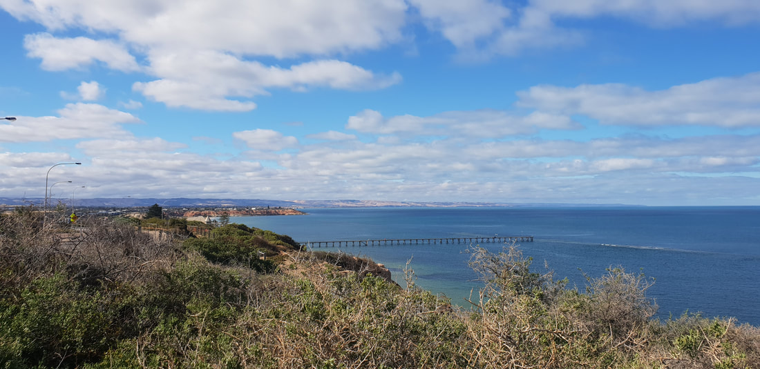
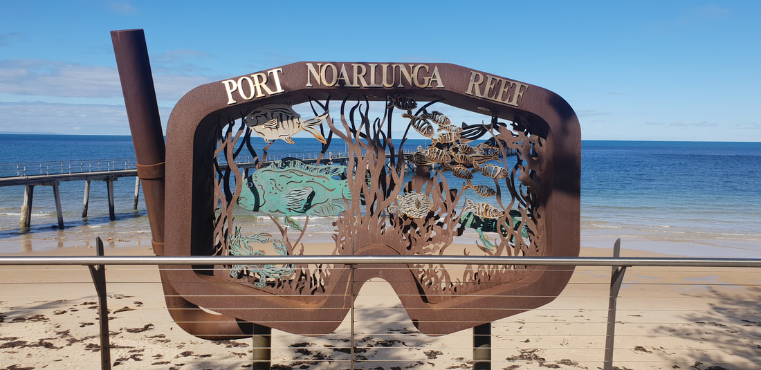
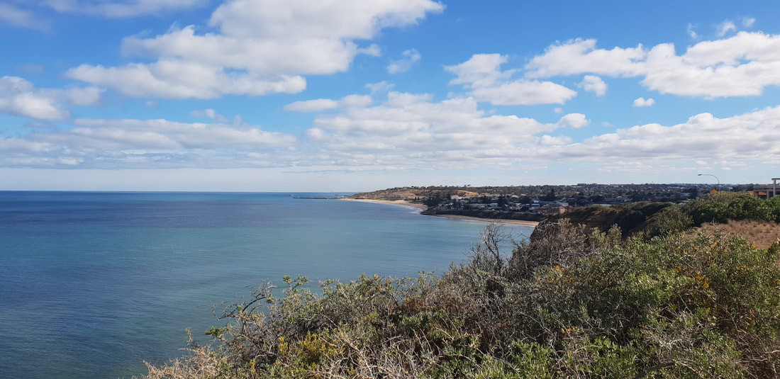
Port Noarlunga
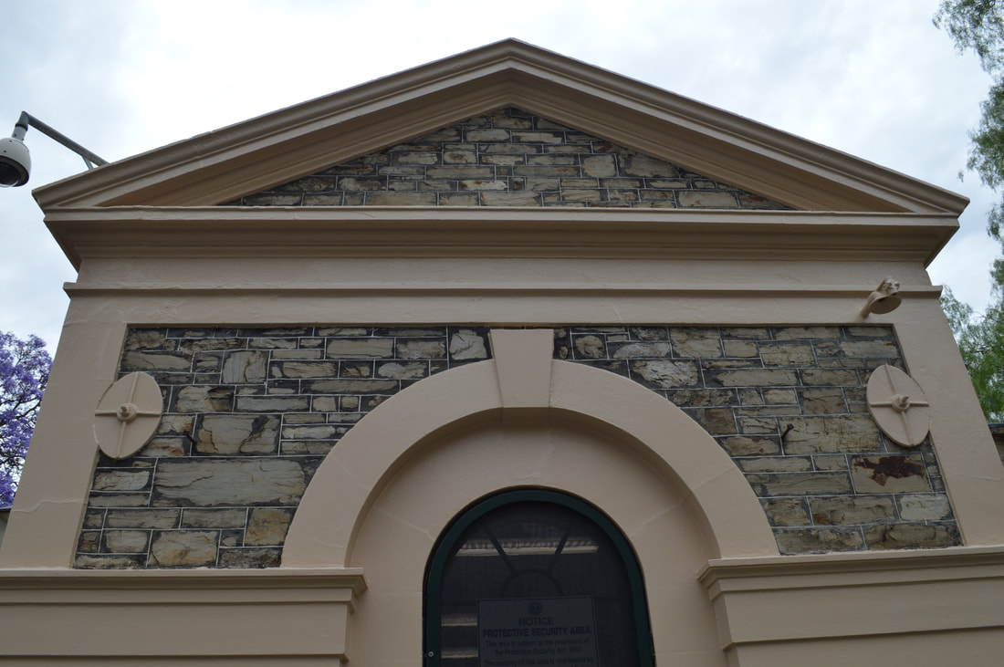
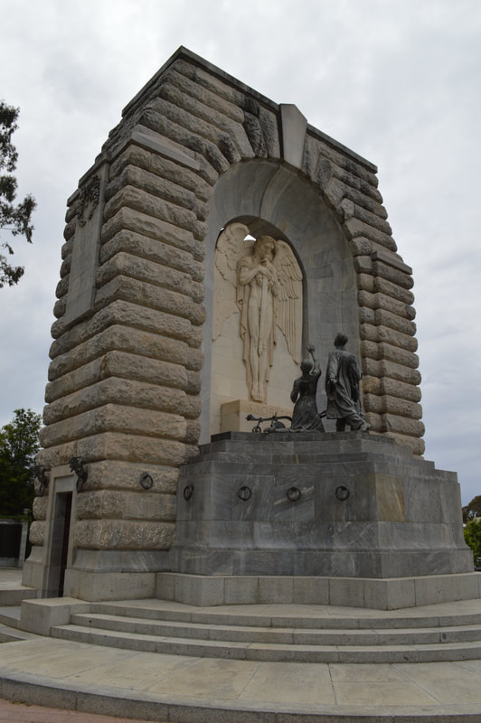
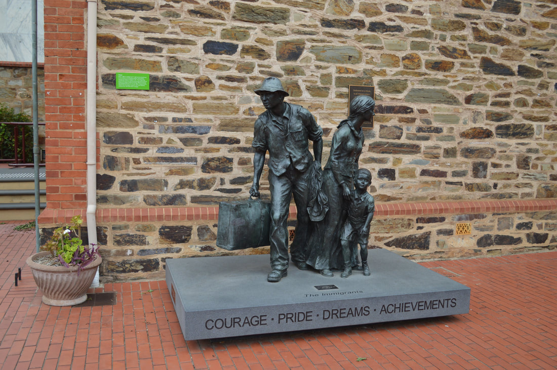
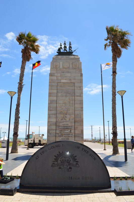
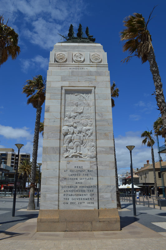
South Australia was officially declared an English colony on 28th December 1836 near where the “old gum tree lies in the suburb of North Glenelg. Colonisation history took a different path to the likes of Sydney, Melbourne, Hobart and Brisbane. The approach to South Australia was a planned colony of free immigrants, promising civil liberties and freedom from religious persecution. Land would be surveyed and sold at a rate too expensive for labourers and journey man, this was to raise funds to immigrate working class settlers. These ideals were originated by Edward Gibbon Wakefield after reading about Australian settlements when he was serving time in prison for attempting to abduct a heiress. The ambition of a free settler colony was to create a utopian style crime free civilisation. Not even a Gaol was in the plans. This changed quickly in 1837 when there were reports of escaped convicts on the run from New South Wales on the South Australian Register. While a temporary Gaol was put on the cards, a burglary, a murder and two attempted murders occurred, this forced South Australia’s first governor John Hindmarsh to make the decision to employ the state’s first ever police force in 1838. Adelaide was off to a slow start economically until wool and livestock imports arrived in 1838 from Victoria, New South Wales and Tasmania. By 1860, wheat farms expanded as far as Encounter Bay to Clare, alongside producing wool, fruit, meat and wine, which were all strong exports in Adelaide. Through the mid 1800’s Adelaide was seeing large economic growth through it’s exports, the boom brought gas lighting, a university, a couple of reservoirs and the South Australian Art Gallery to the city. The 1890’s brought on an economic depression, the value of South Australia’s exports almost halved leaving their two main exports as wine and copper. Mining towns like Burra and Broken Hill lent an economical hand with Copper, Lead and Silver. The 1900’s brought in electric lighting and a tram network to Adelaide. The finish of World War 1 started a prosperous postwar boom, its growth made Adelaide the third most populous metropolitan area in Australia. The boom was short-lived with the droughts and great depression in the 1930’s. World War 2 times transformed Adelaide’s industry from agriculture to manufacturing. Companies like General Motors took advantage of Adelaide’s more safer location to bring the manufacturing industry to life, driving the city into the 20th century. The 1950’s brought an Airport and the Murray River pipeline, the 60’s was Flinders University and Medical Centre. The 1970’s started a social reform with the Adelaide Festival of arts, which created a cultural revival in the city. More recent highlights for Adelaide was being the host for the Formula 1 grand prix in the 80’s and V8 supercars to now, which shuts off parts of the city for cars to paint the roads with tyre marks. Cultural Capers Adelaide Walking Tour
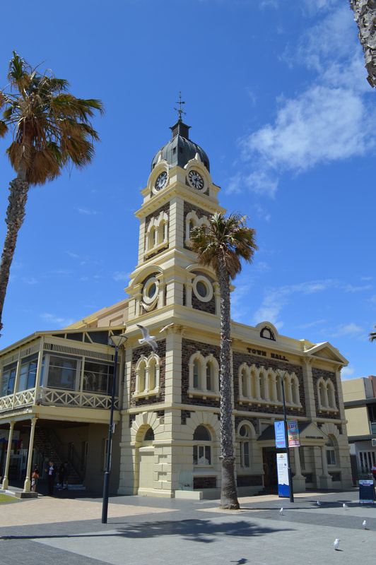
South Australia has had quite a progressive history, leading the nation and the world by example. It was the first Australian capital city to be connected to London by telegraph in 1872. In 1895, South Australia was the first place in the world to allow women to stand for parliament, in that year women were also granted the right to vote. In 1936 Adelaide was the first city to generate public housing for families in need known as the South Australian Housing trust. The first Aboriginal flag was raised in 1971 on Victoria Square to support land rights for Aboriginal people. In 1975, South Australia was the first state to decriminalise homosexuality. In 1977 South Australia introduced a 10 cent refund on every can or bottle recycled, which was a first. In more recent times, South Australia is still reputable for a progressive approach to combat issues. In 2017, U.S Company Tesla installed the worlds biggest lithium ion battery pack just outside Jamestown to combat wind power outages around the state, its response rate to power outages is within milliseconds beating its hydro, coal and gas competitors by well over 2 minutes. Although South Australia gets forgotten about by its east coastal neighbours, they’re a step ahead of the country. Glenelg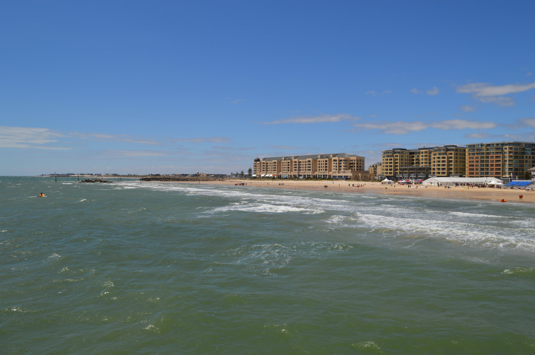
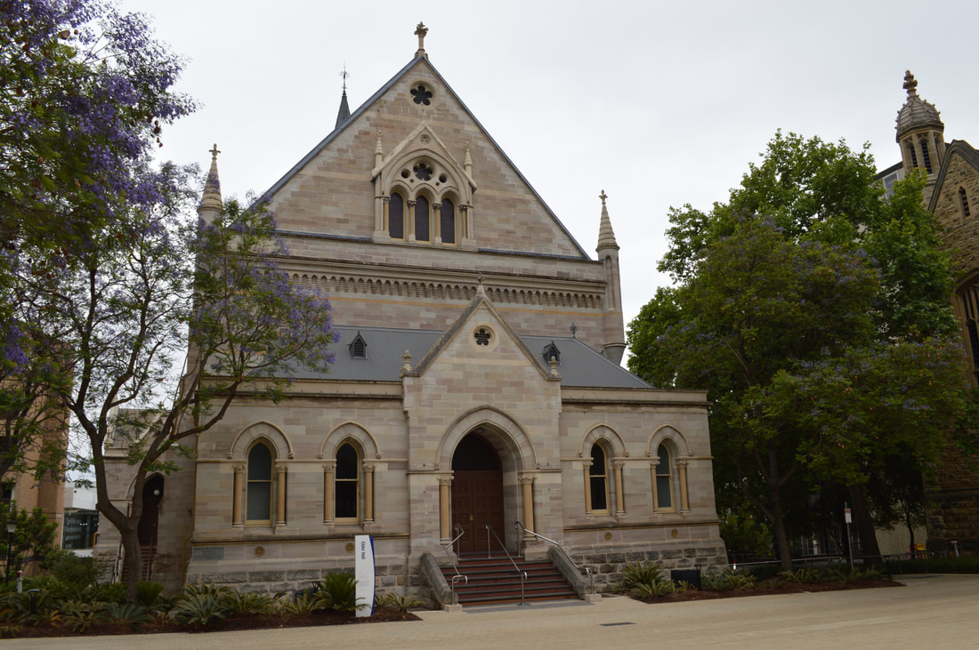
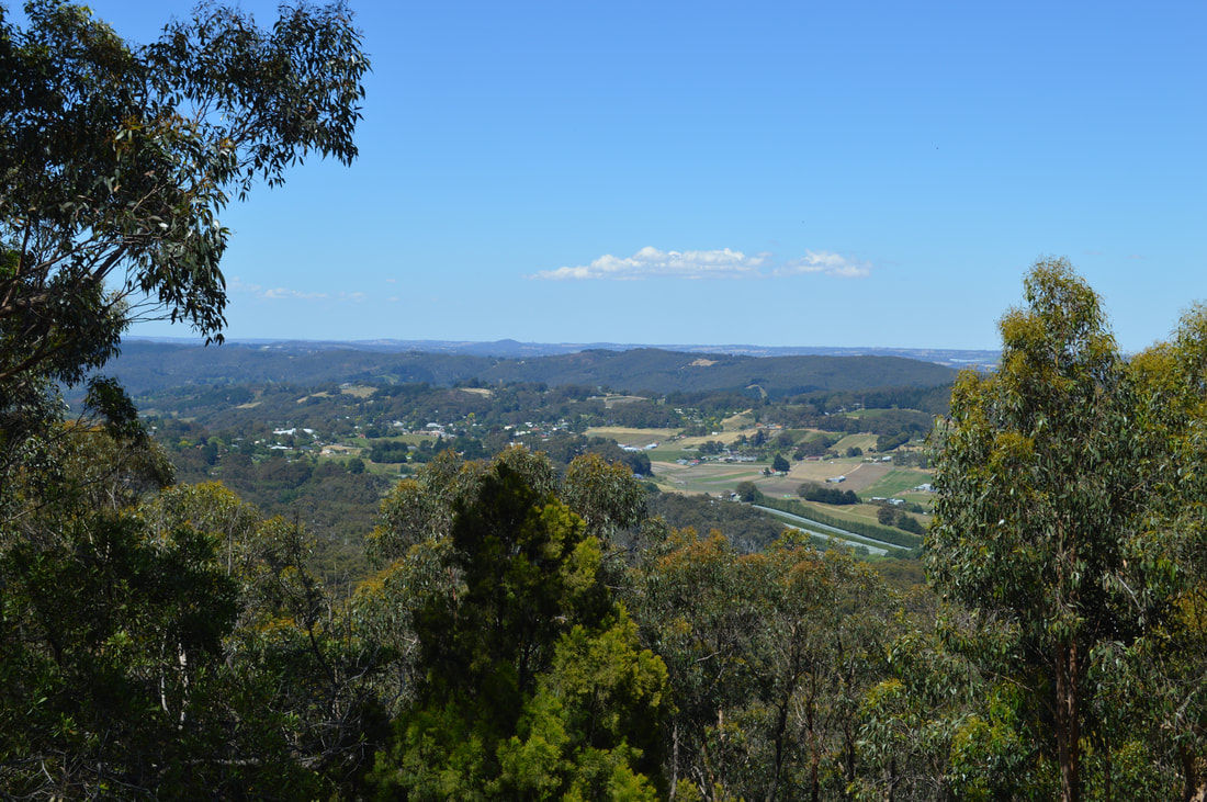
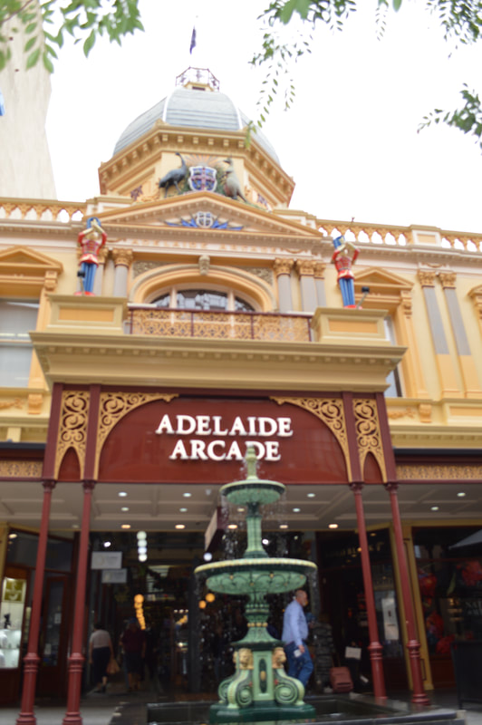
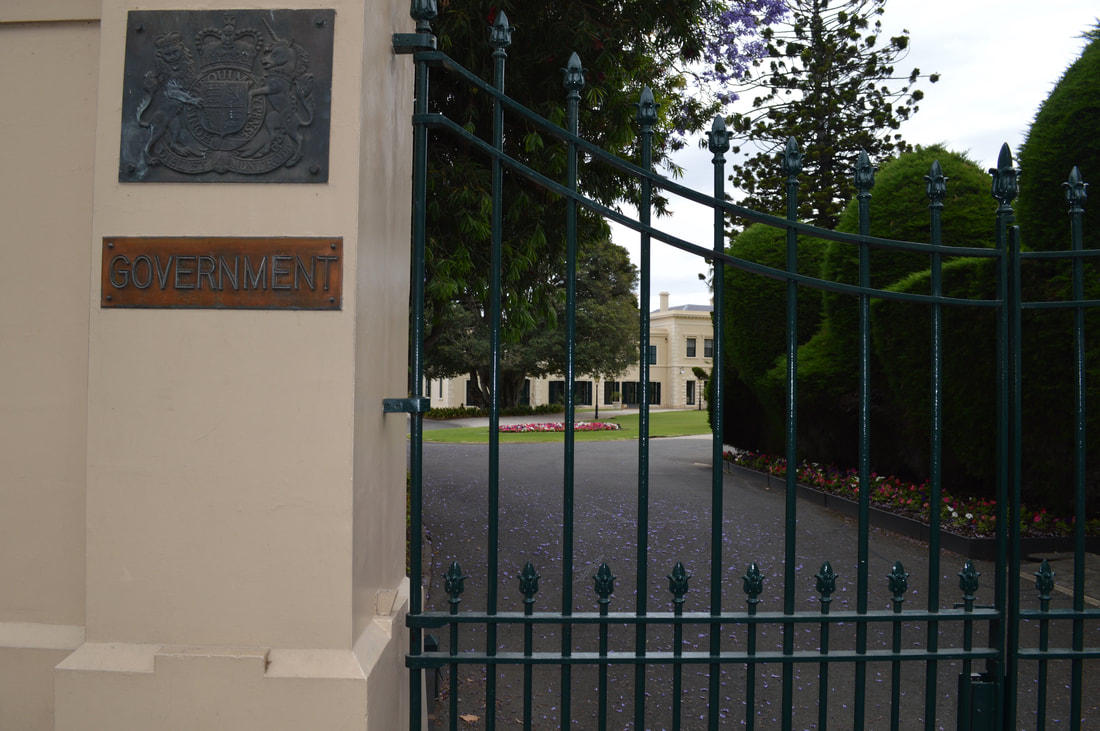
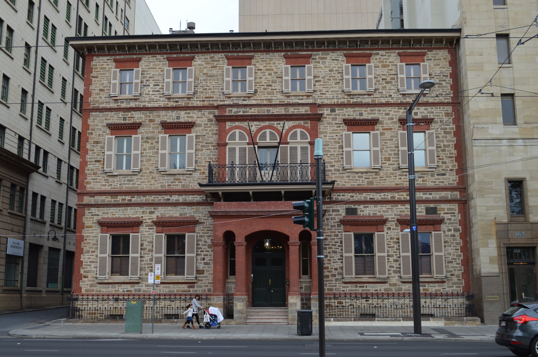
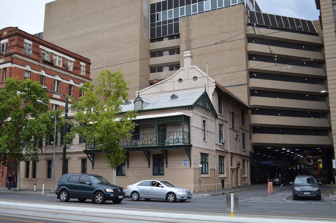
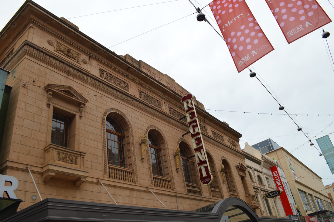
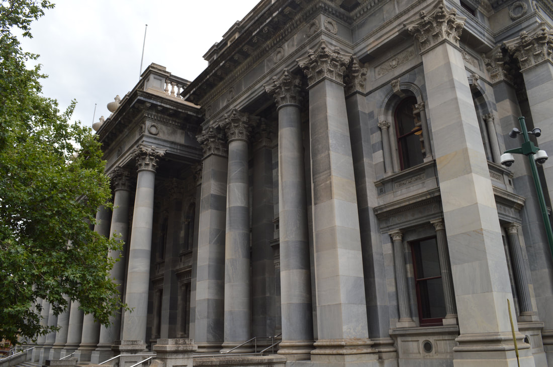
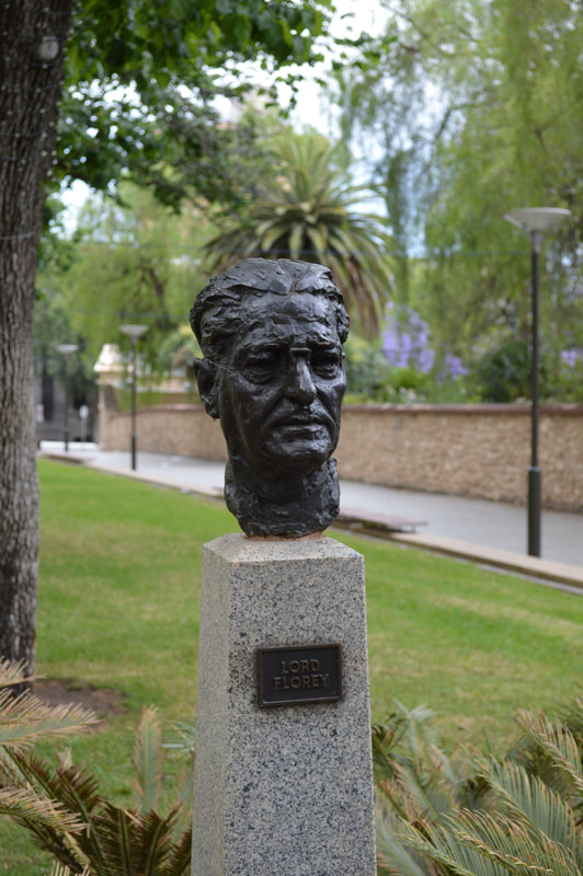
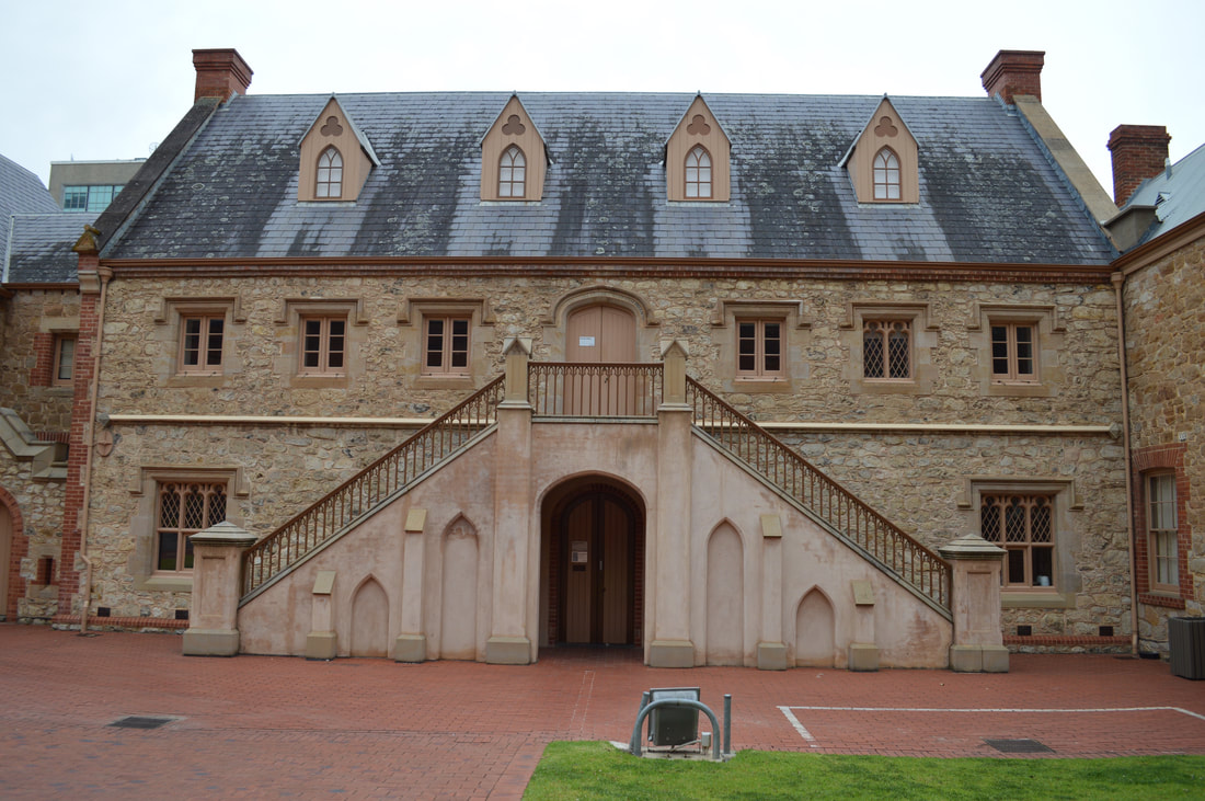
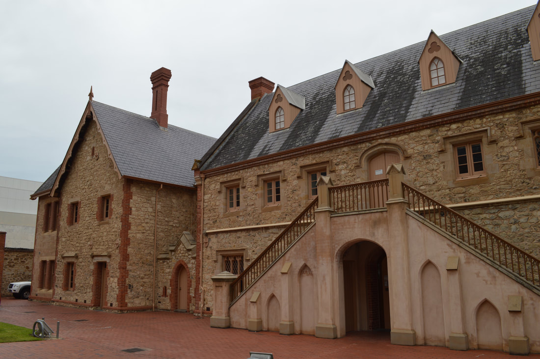
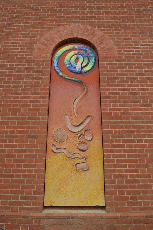
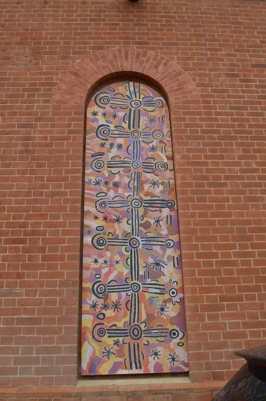
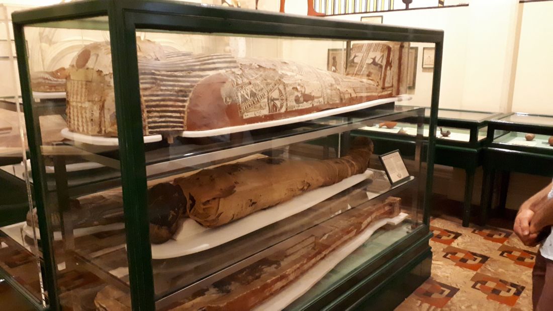
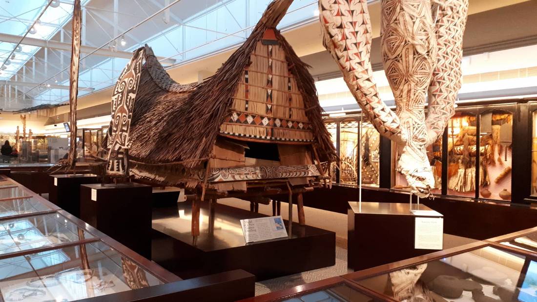
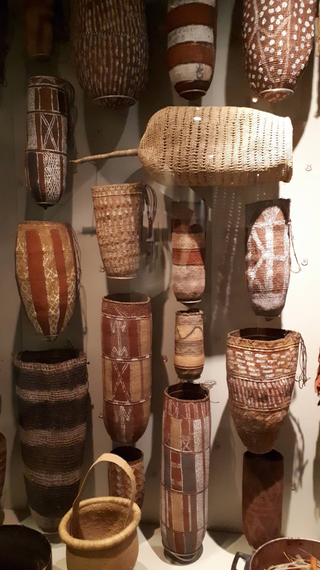
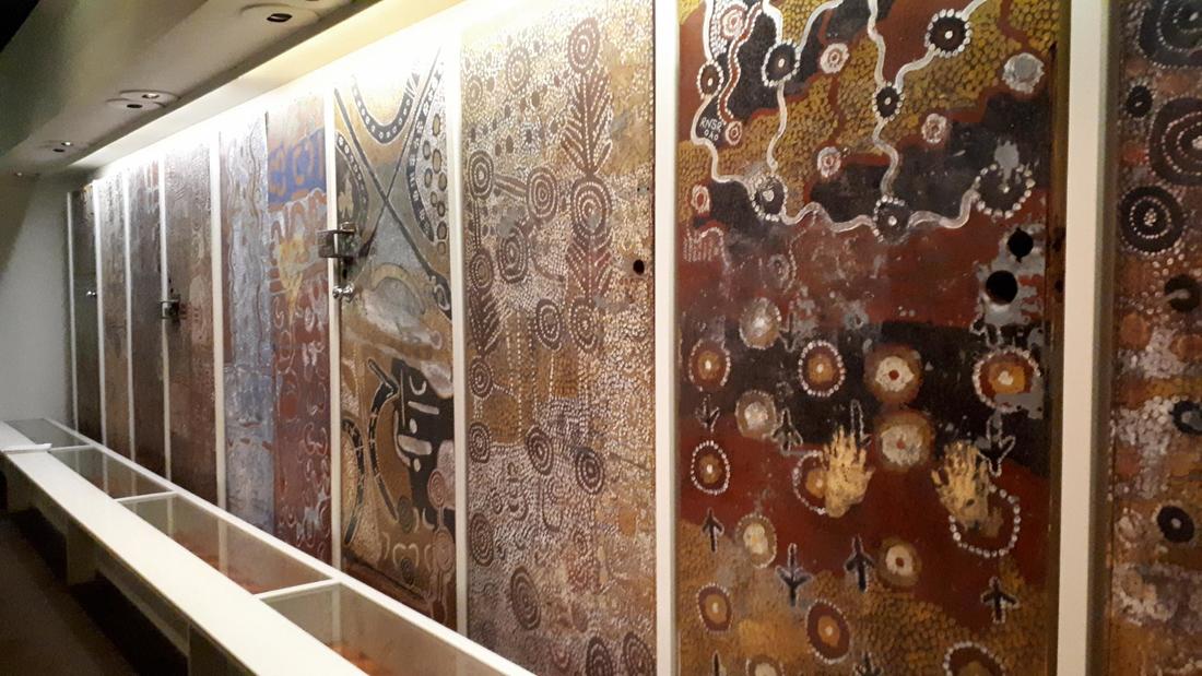
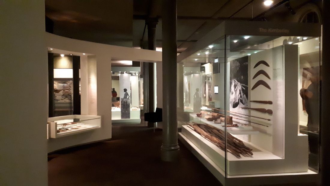
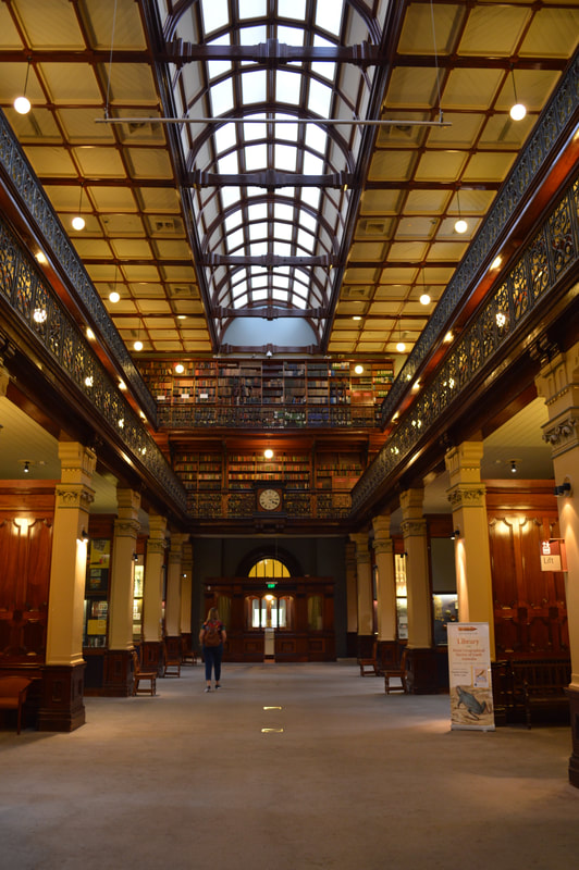
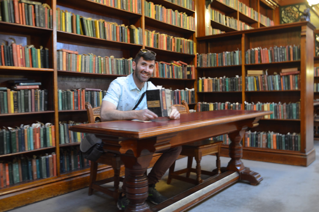
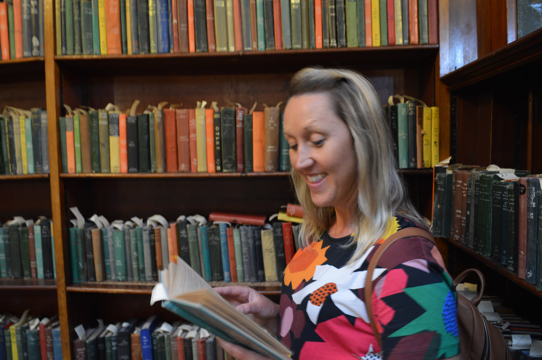
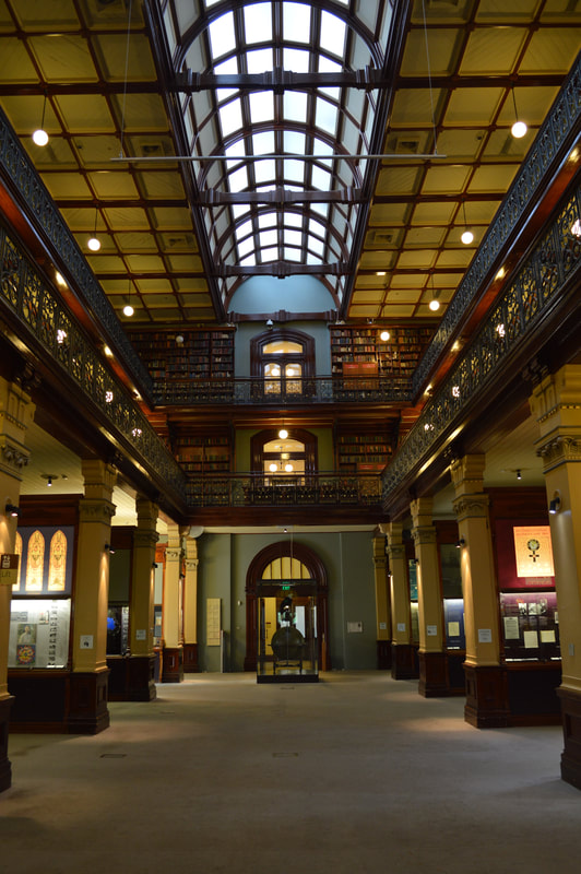
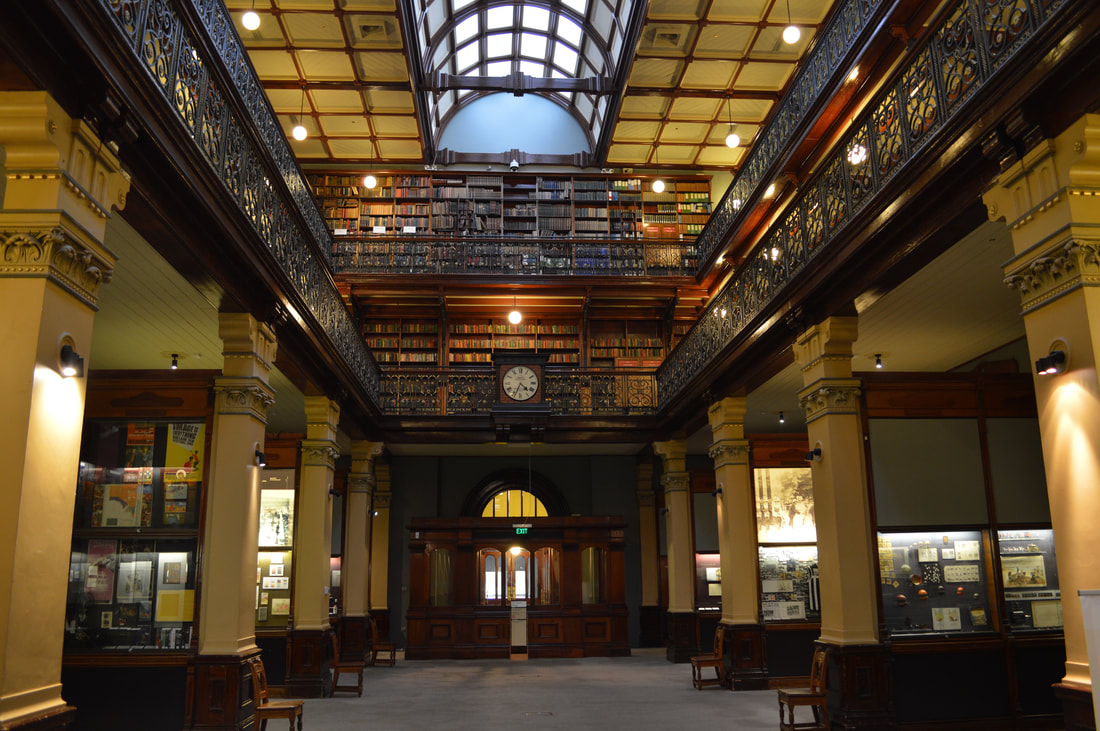
On our first day in Adelaide, we took a train into the city to do a walking tour. Our guide Graham met us at the Parliament building steps away from the train station.Graham took us around the city and enriched us with his knowledge on Adelaide’s history. We started off with no idea about Adelaide and South Australia and finished the tour with a new founded appreciation of Australian History. Our walking tour inspired us to visit the Adelaide City Library, the Art Gallery of South Australia and the South Australia Museum. The Art Gallery journeyed us through many eras of art ranging from Ancient Egyptian Art right up to modern contemporary art. Its variety of paintings and sculptures take you on a trip around the world and back in time with out a plane ticket. Adelaide’s South Australian Museum is filled with a wealth of natural history knowledge. The museum had an impressive display of taxidermied animals from around the world, the realness of the specimines leaves you waiting for them to come to life. The museum features a level of Australian Indigenous History and a level of Papua New Guinea History, all filled with paintings, clothing and beautifully handmade tools for hunting and gathering. The four story high squid keeps you interested, although just a plastic replica, it is 11 metres long and based on a real squid caught in New Zealand, the largest one caught at that time, the most recent largest recording stands at 13 metres. After hours of fuelling our minds with art, culture and science, we went for a walk around the Mortlock Wing, the first building of the Adelaide library. The Library was opened in 1884 to the public, and now still stands strong with a collection of 23,000 books. Every part of the library is so well preserved it feels like it hasn’t aged since the day it was built. Walking through the entrance feels like you’ve blasted through a time machine making you feel a part of the history. Its a beautiful inspiring place to wonder around, relax or maybe even read a book. On one of our days in Adelaide, we took a walk up to Mount Lofty, Adelaide’s lookout. The track begins at Waterfall Gully, named for obvious reasons, it has two running waterfalls which flow elegantly at the start of the track. It made for a very active day out in Cleland Conservation Park’s nature. Nestled on Adelaide’s shore is the coastal suburb Glenelg, its gorgeous town hall and Anzac memorial was surrounded by unfortunate lifeless feeling beach apartments. While walking around Glenelg we felt like it lacked a lot of atmosphere, shops lacked colour, cafes lacked taste and people lacked excitement of being there. Adelaide has spoilt us with a large amount of convenience. Everything to do there was just…..easy. Everything there just felt so easy to do, getting to a beach, getting to the city, getting groceries, a franchise acai bowl cafe we loved called Delicia would pop up every where we go and even to park a car somewhere, barely a sweat! Although Adelaide can lack hype compared to its other cities, it filled our days with some good solid chill. South Australian Museum
State Library of South Australia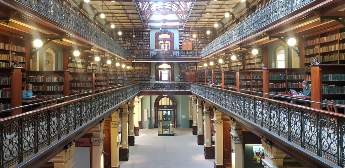

Richard Bell, The Sign Says It 2017, Acrylic on Belgian linen, 200 x 200 cm
Street Art
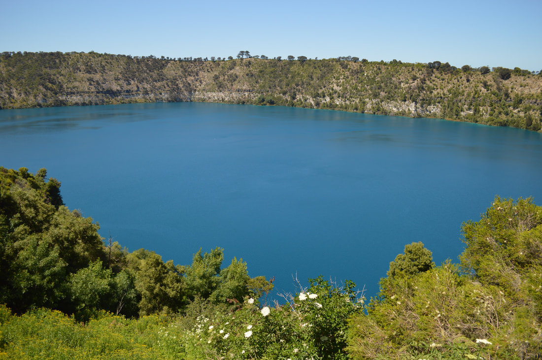
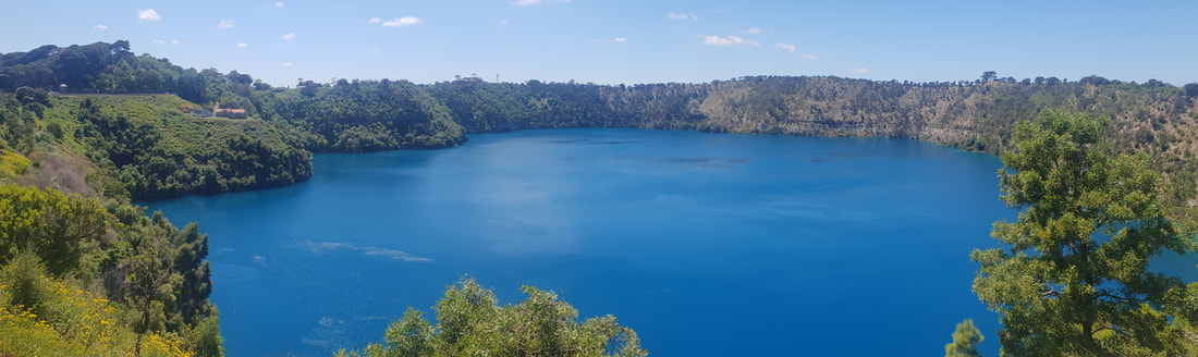
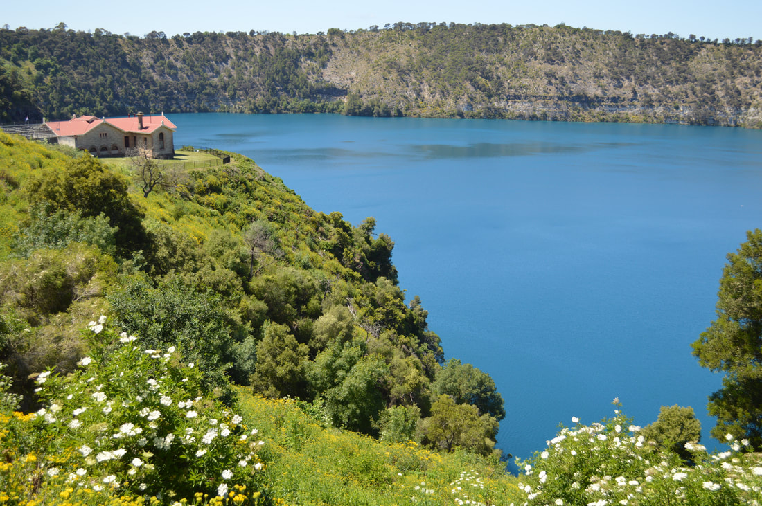
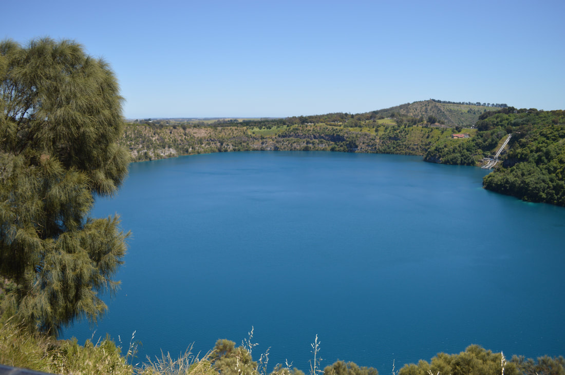
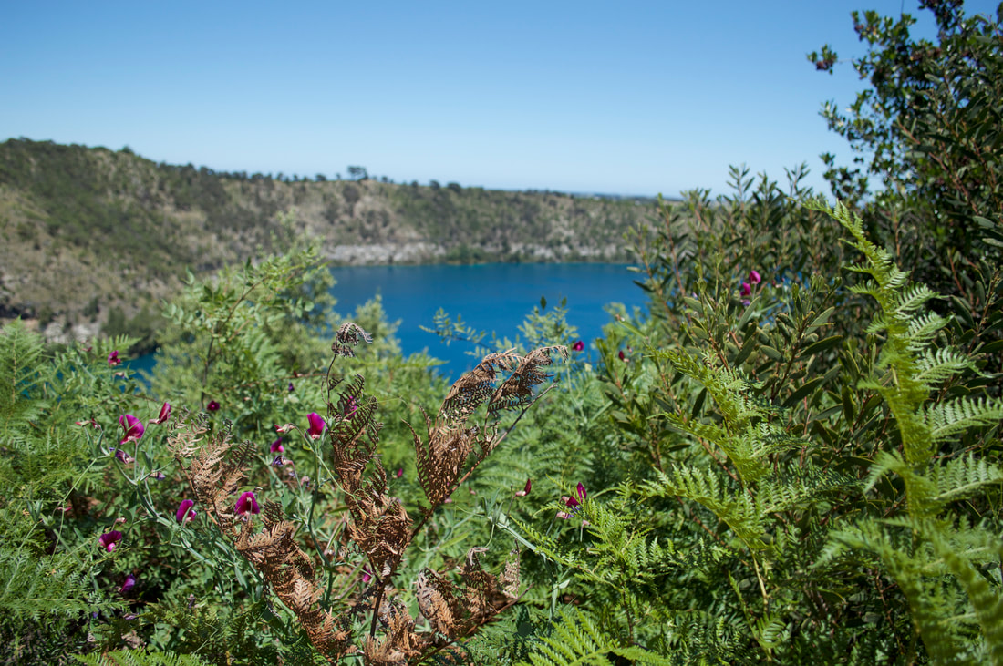
Blue LakeAs far as we can learn no one exactly knows why the blue lake in Mount Gambier turns blue, apparently it's only this consistently rich cobalt blue colour during the months of November and December, so we've timed our visit coincidently as during the other months the lake appears apparently dark grey in colour. At it's deepest point this volcanic crater lake plummets about 200 metres and is on average about 80 metres in depth. This is the town's water supply and is of a high quality and purity. The colour reminded us of the Mary Kathleen mine, an old abandoned uranium mine between Mount Isa and Cloncurry that is filled with water very similar in colour to the blue lake in Mount Gambier. Although the purity I'm sure wouldn't be of the same quality... We ventured around the 3.8 kilometre circumference of the lake taking in the gorgeous blue from every angle and were thankful to feel the sun's rays.
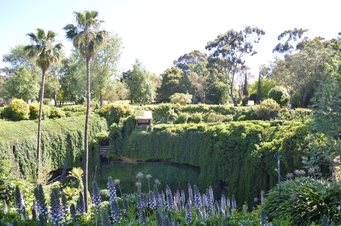
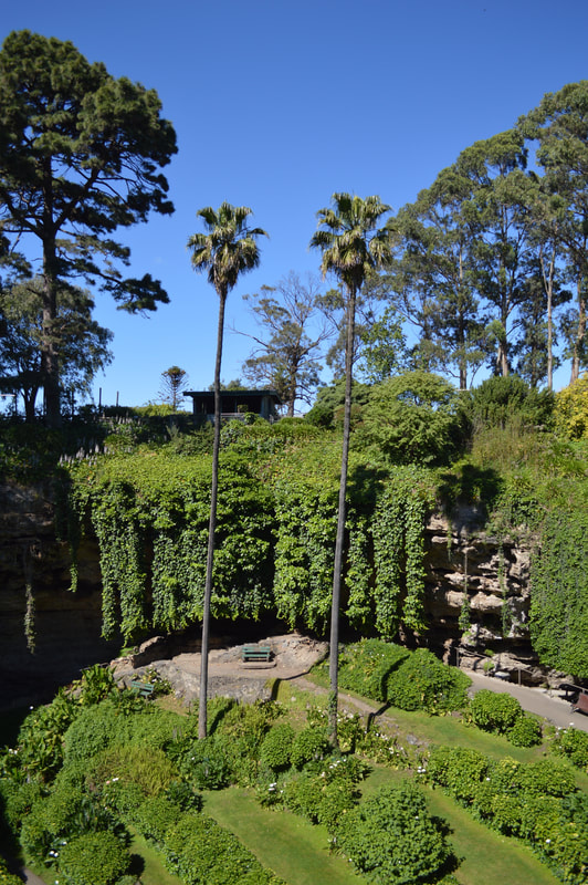
Umpherston SinkholeThis sunken garden was created in 1886 by the then owner of the land, James Umpherston in a sink hole. There was a residence on site, however this was demolished in 1964 after the Department of Woods and Forestry purchased the site constructing a timber mill behind the garden on the site of residence. The Mount Gambier council now maintain the garden as a tourist attraction.
Lady Nelson Visitor Centre
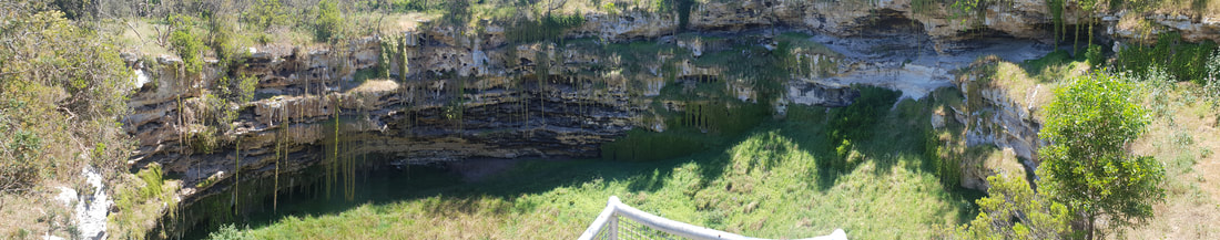
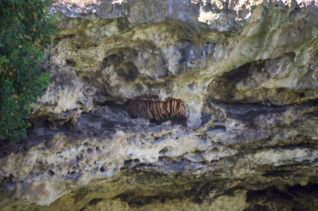
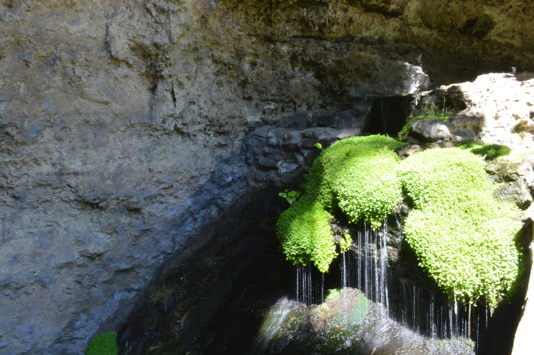
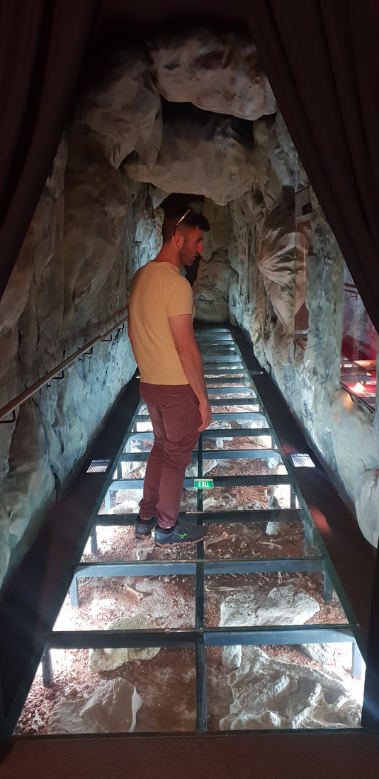
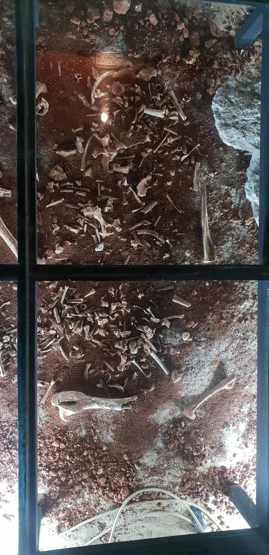
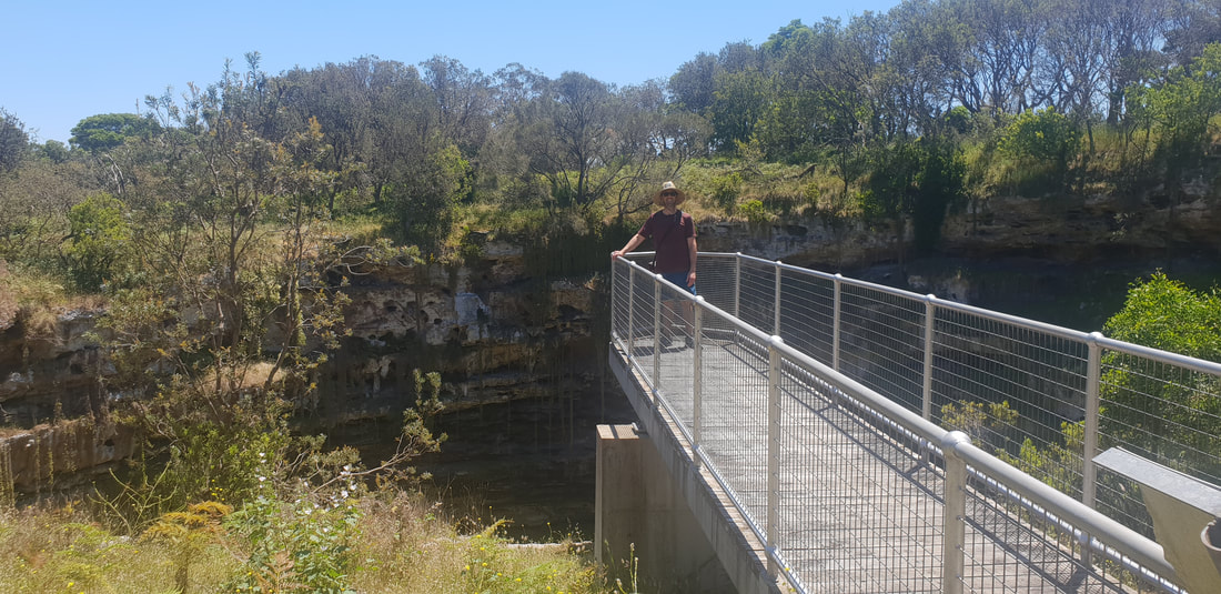
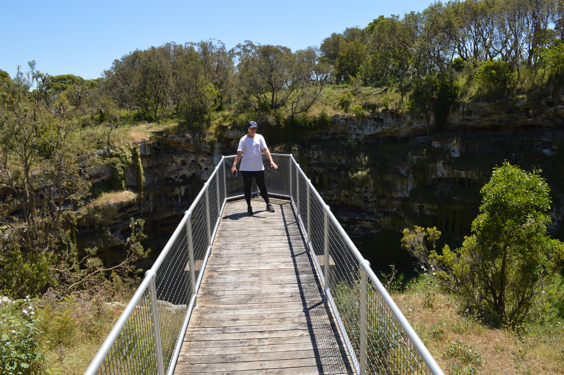
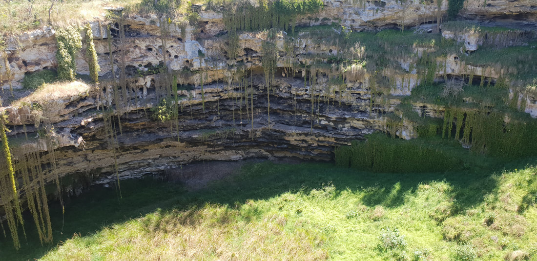
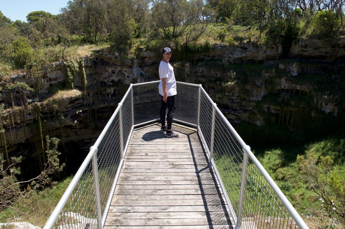
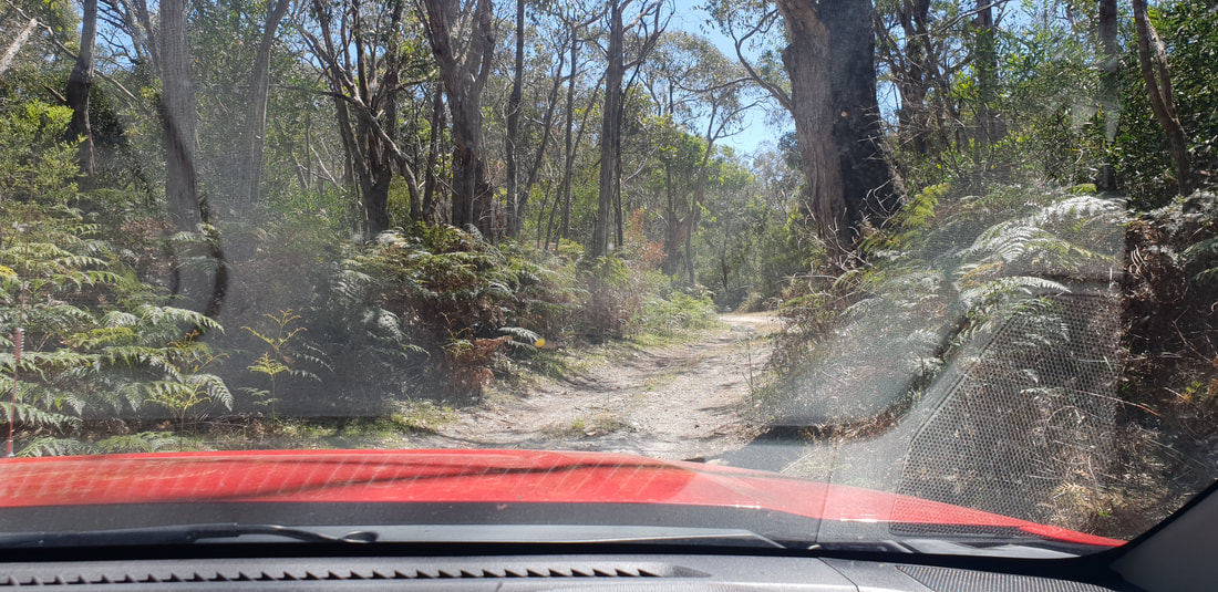
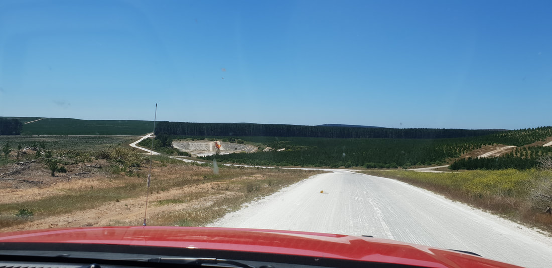
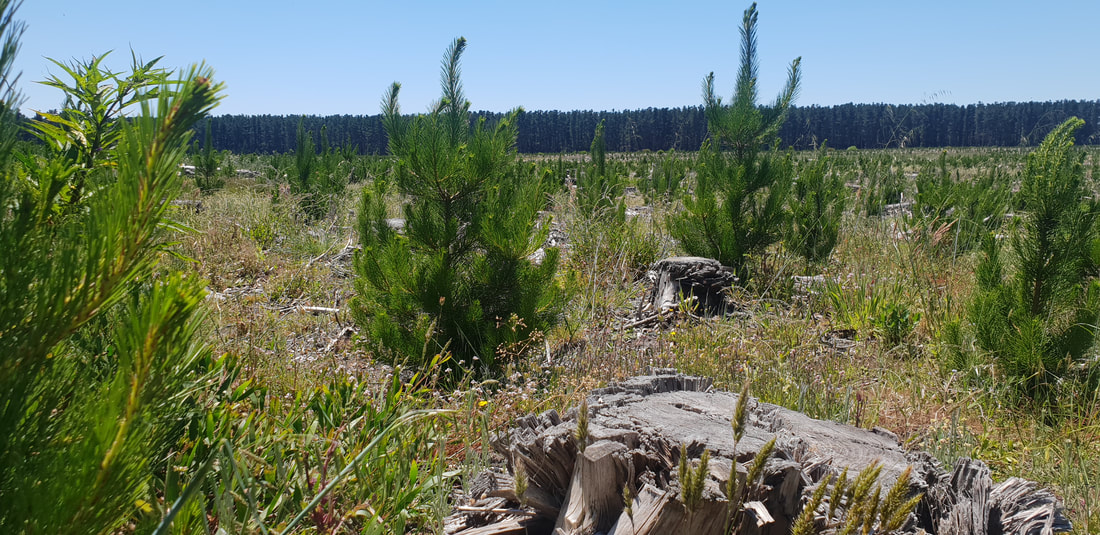
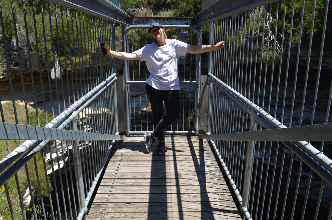
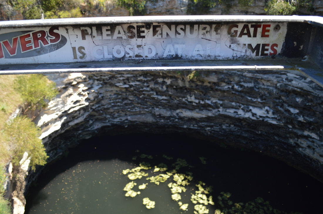
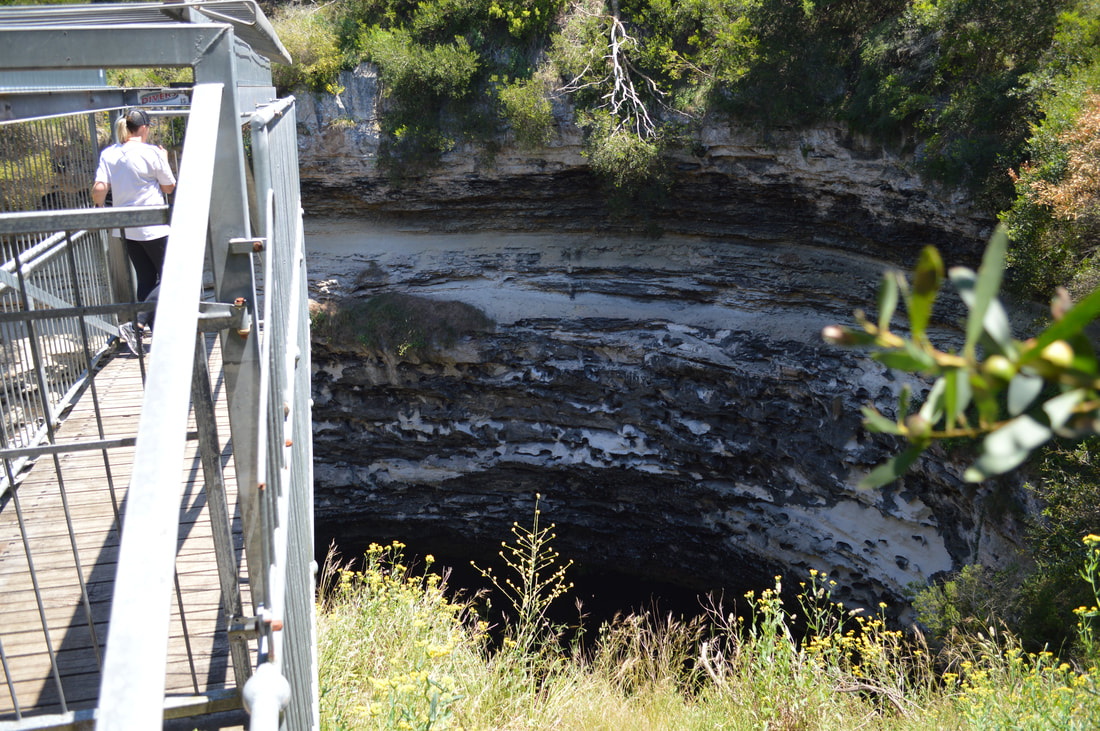
This quirky info centre museum definitely reminded us of the Riversleigh Fossil Centre in Mount Isa. I wouldn't be surprised if they were designed back in the 1980's by the same curators. Penambol Conservation Park - Caroline Sink HoleFor the record from what we've seen so far South Australia do not do National Parks well. We've definitely been spoilt experiencing amazing National Parks in both Queensland and Victoria, yet South Australia despite their half-arsed attempts appear to be more focused on industry than conversation. We saw a lot more forestry plantations than we did native fauna, but having had my rant what he we did find near Mount Gambier was visually impressive and worth making the effort to track down, literally. Limited navigational information had us make a wrong turn and end up 4WDriving it until we reached sand turning around and heading back to the main road to get our bearings and have another crack on a different road. The attractions are not well sign posted, which meant we had to do a bit of guess work, but found two sinkholes with viewing platforms and a bit of forestry propaganda convincing us they are doing their bit for nature. Honestly though had these sinks hole not been there, the native bushland wouldn't be either, as both sink holes are surrounded by forestry plantations making for an eerie, desolate and war like environment.
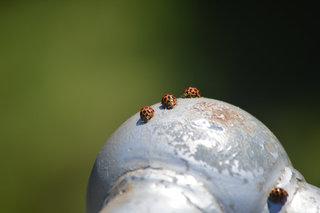
These gorgeous lady bugs were flying all around us, landing on us and walking over our arms. It was quite the experience. I've never seen lady bugs so big either
Penambol Conservation Park - Hells Hole
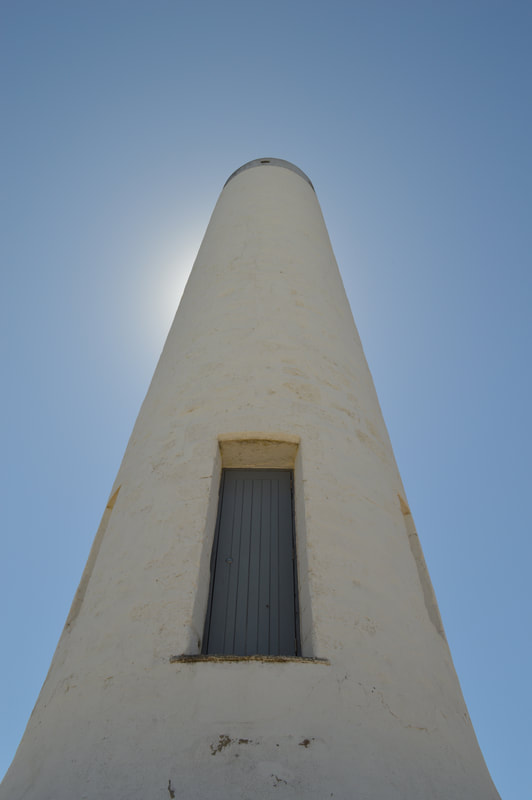
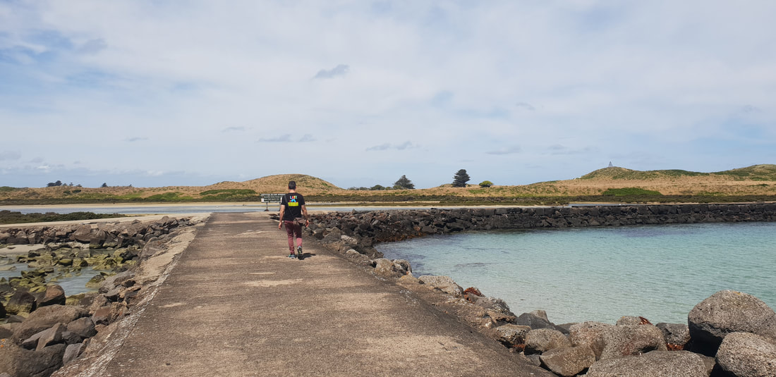
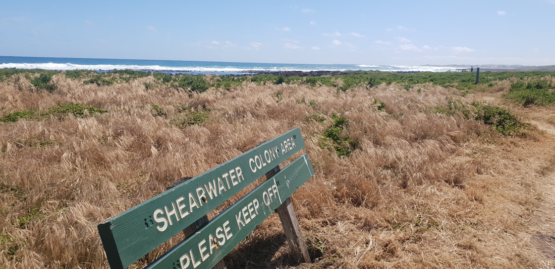
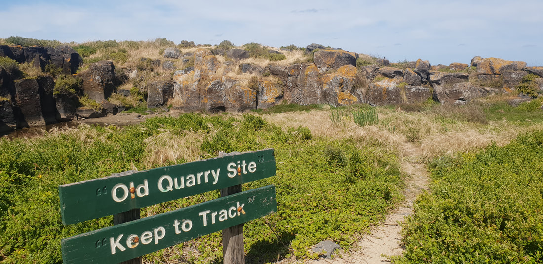
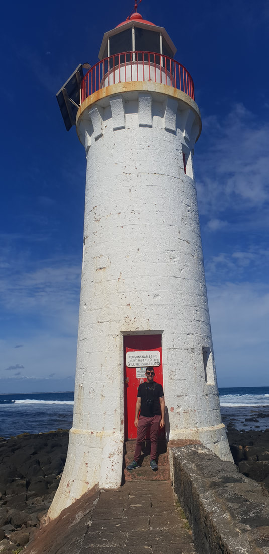
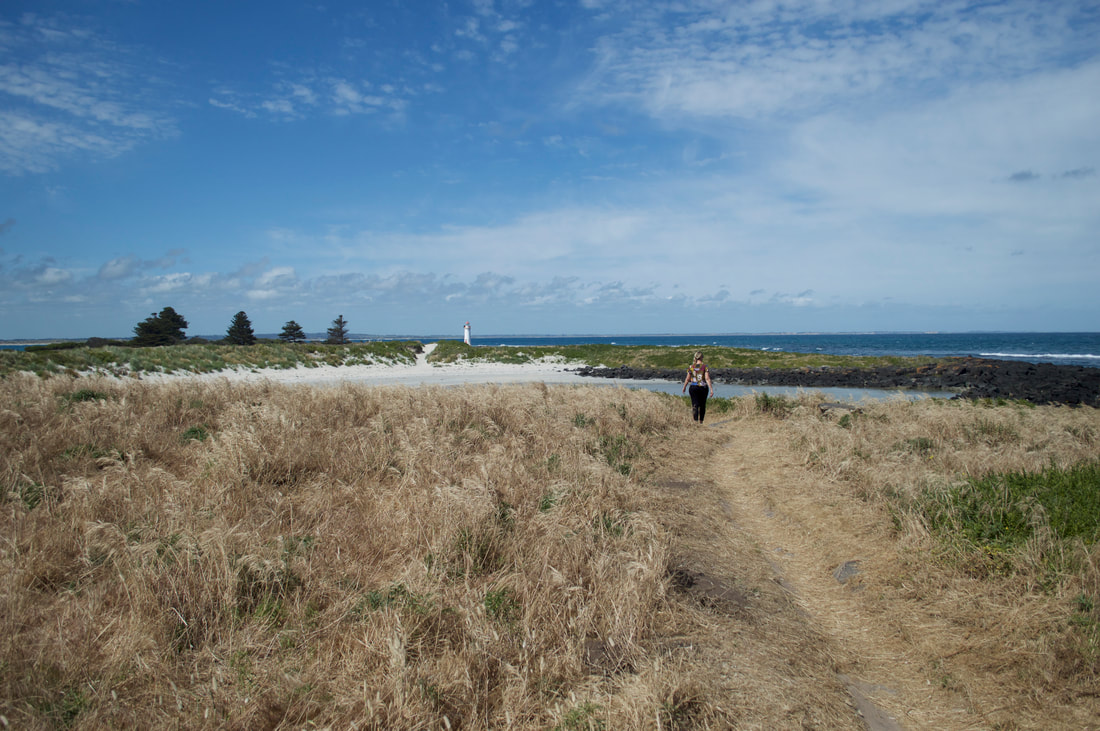
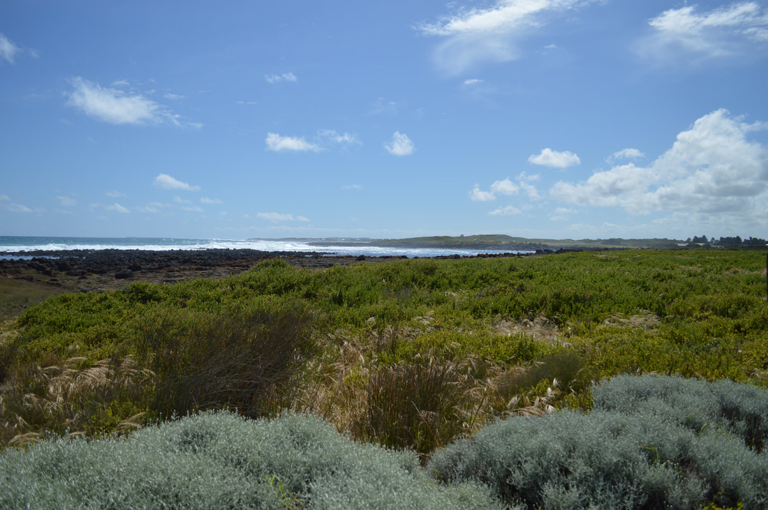
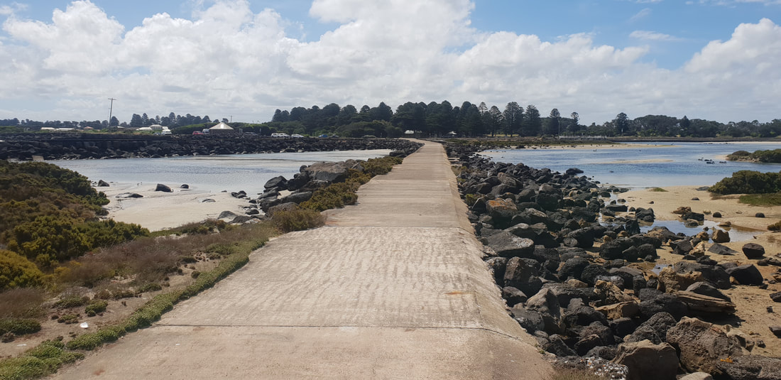
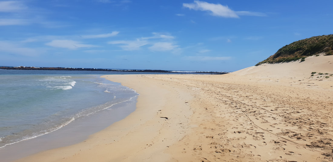
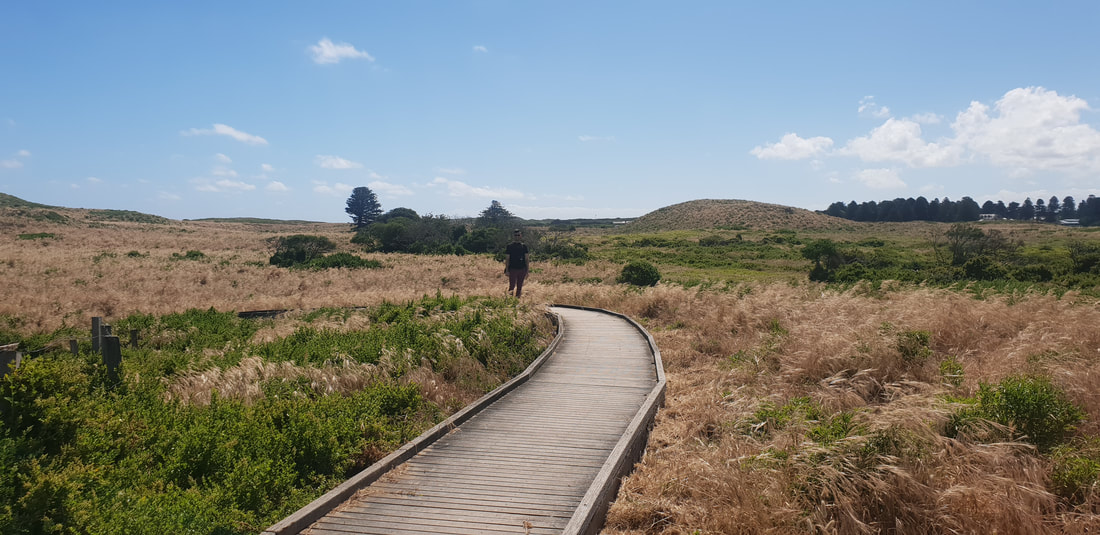
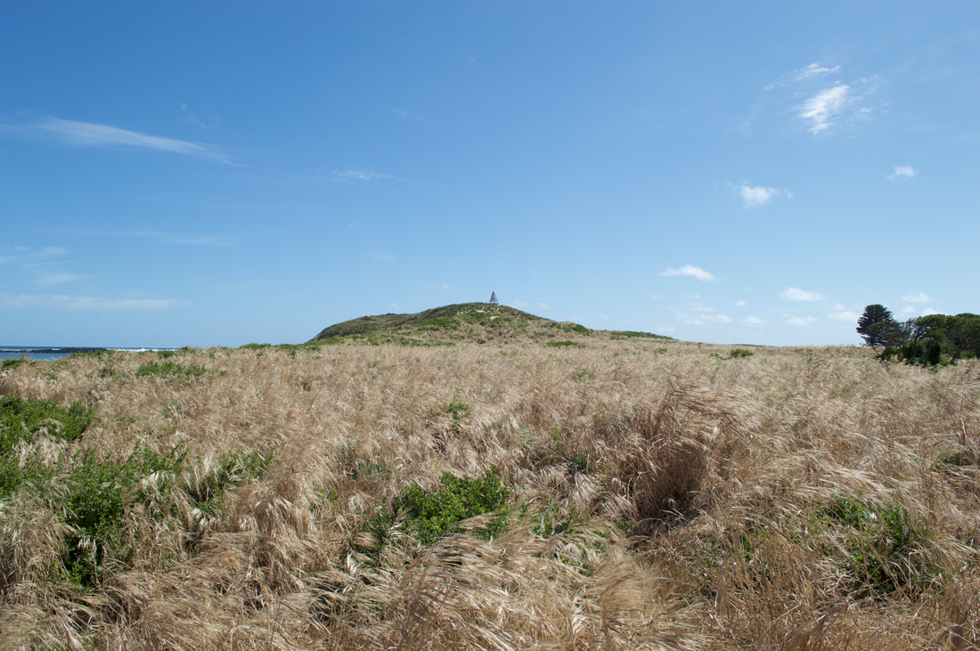
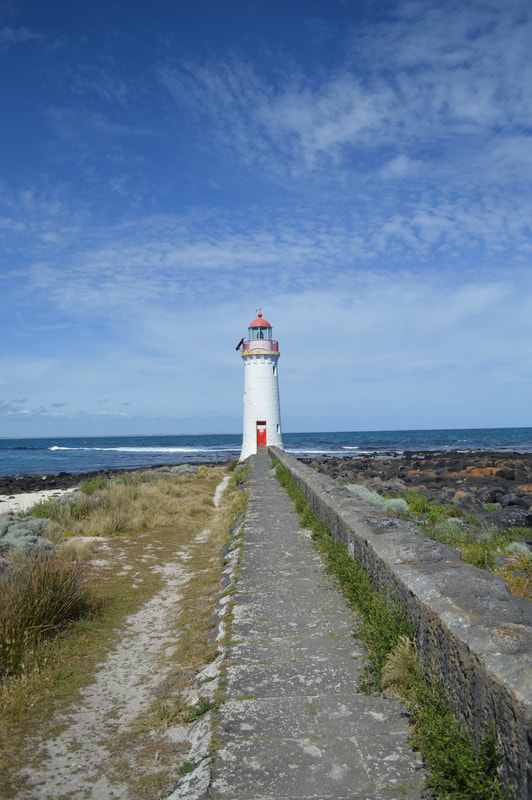
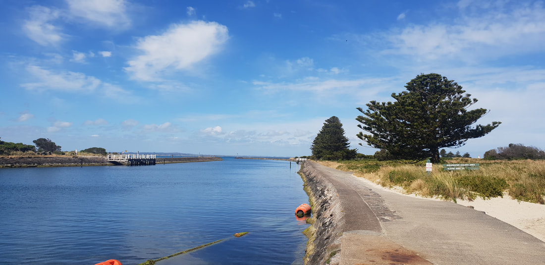
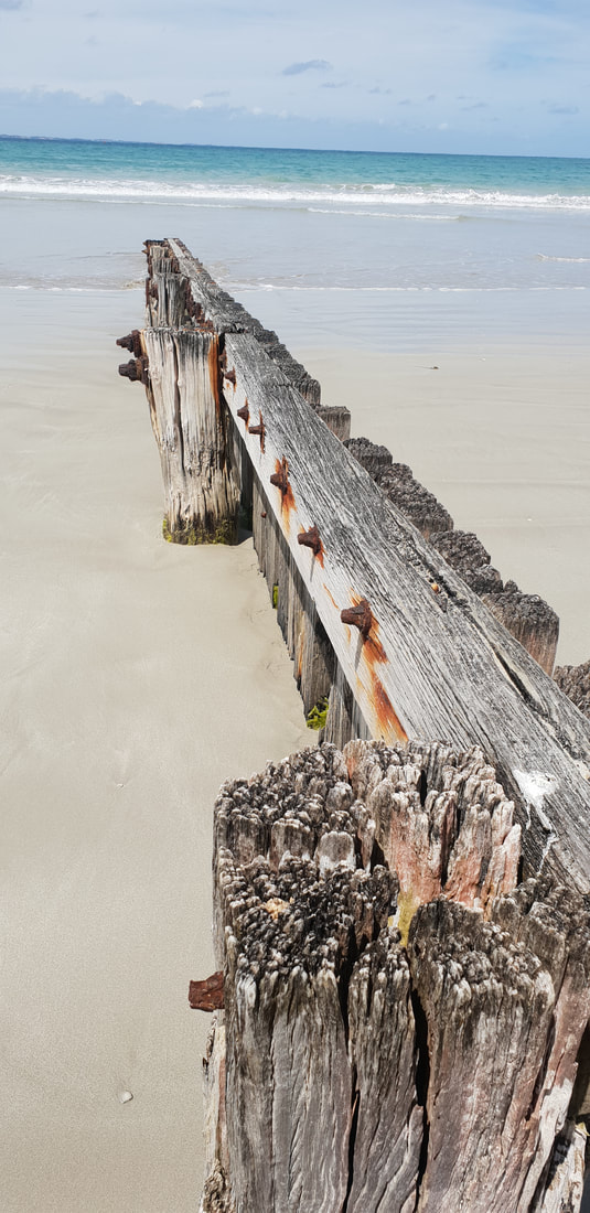
Griffiths Island WalkThe Island off the coast of Port Fairy accessible by a man-made concrete walkway was named after Captain John Griffiths who brought the first Europeans settlers to the region from Tasmania in the 1830's. He also established a whaling station and was involved in many activities including ship building and brewing. The walk takes you to a bluestone lighthouse, built in 1859 the lighthouse has guided many ships to safety. The last lighthouse keeper left the island in the late 1950's when the lighthouse was automated. The lighthouse keeper cottage was demolished due to vandalism. The island is home to the short-tailed shearwater sea bird (mutton bird). The seaside community of St Leonards is also home to a shearwater population.
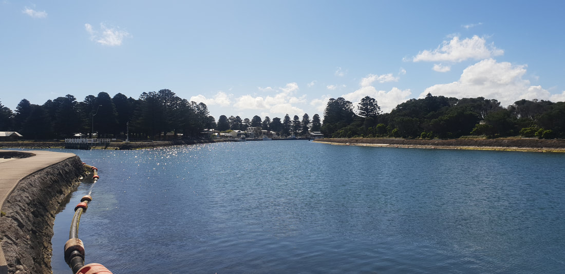
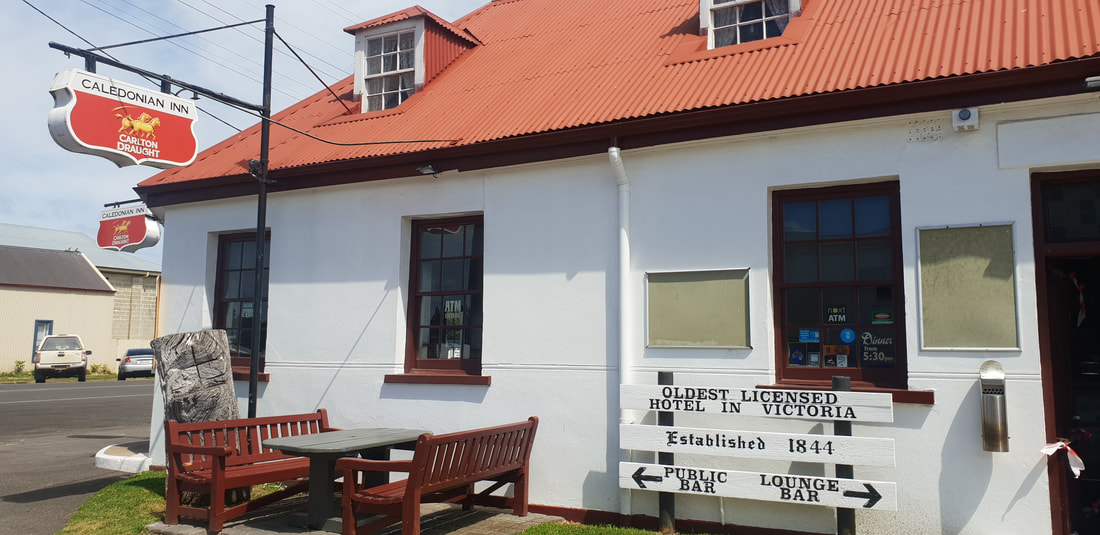
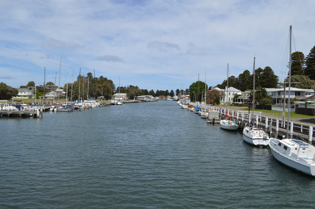
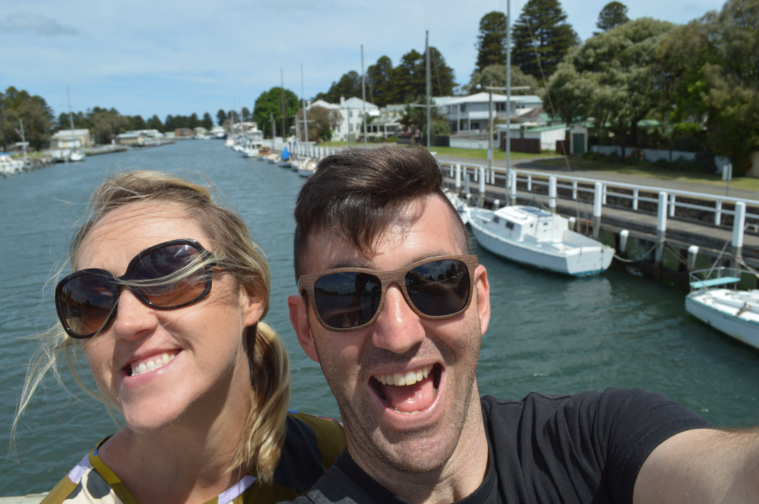
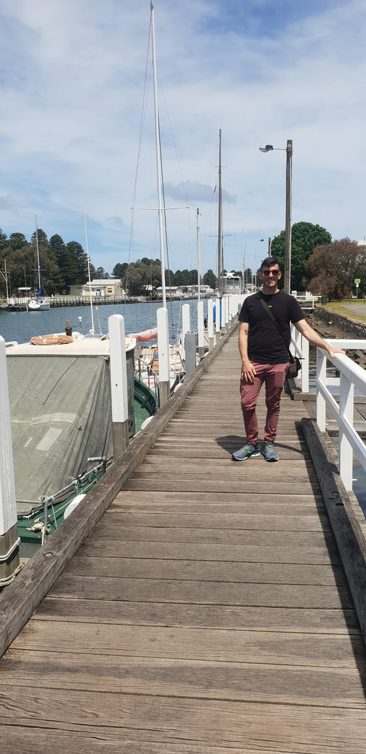
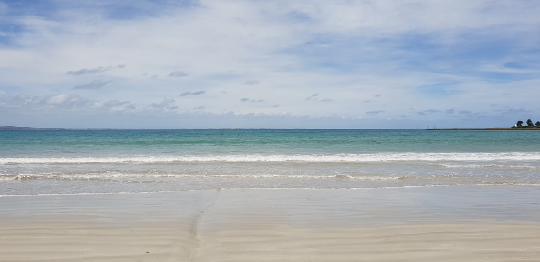
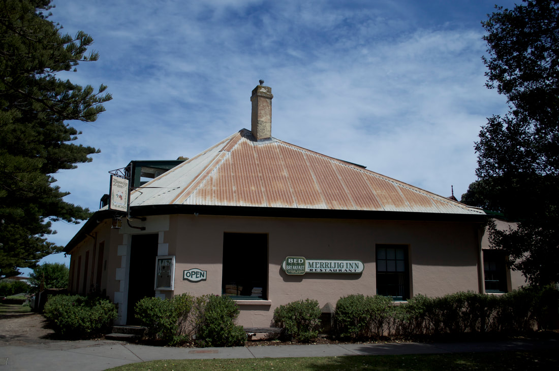
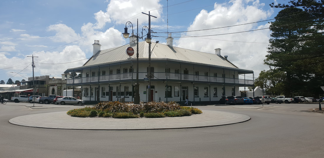
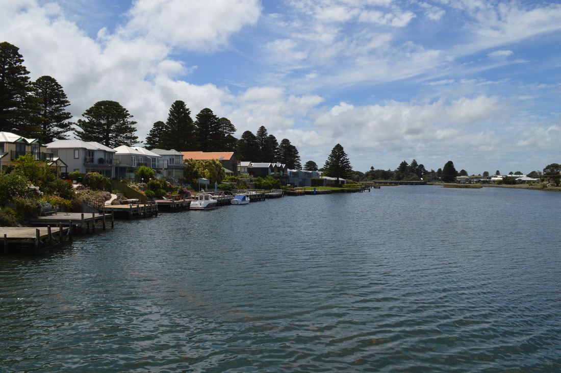
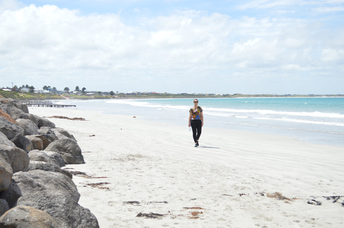
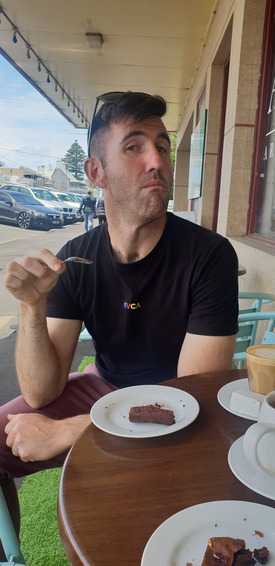
Around TownPort Fairy is a magical historic fishing township located about 30 kilometres west of Warrnambool. We ate the most delicious brownie at Audley and Hall Artisan Chocolate then leisurely strolled around the town, heading down to the Moyne River for a look at the marina then across to the local beach. In 1828 a whaling crew named Port Fairy after their vessel, The Fairy. The name was changed to Belfast in 1843 after the home town of James Atkinson a Sydney solicitor that divided and sold the land, but reverted back to Port Fairy in 1887.
|
The JourneyChoose Curiosity The Catalogue
November 2023
The Tags
All
|


 RSS Feed
