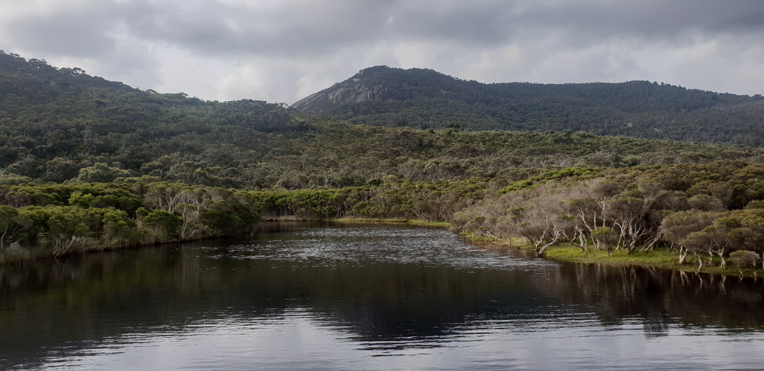
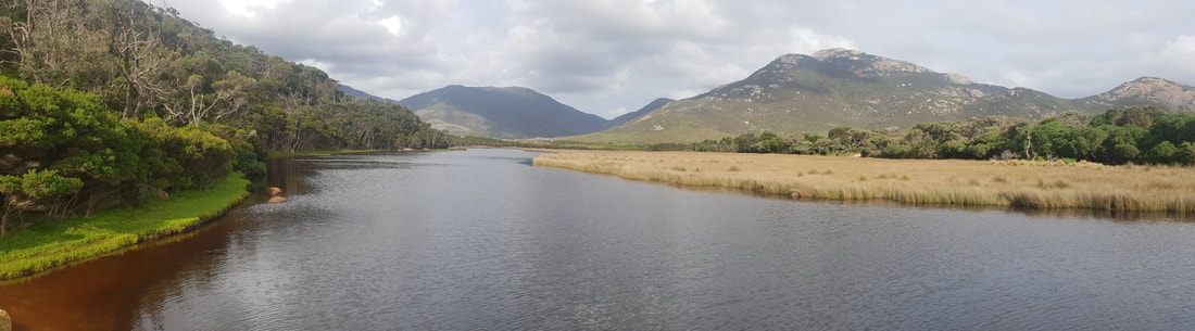
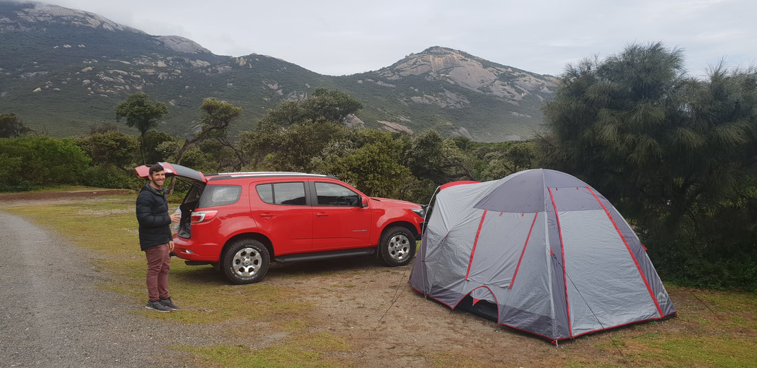
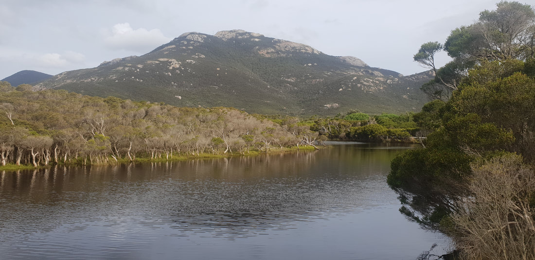
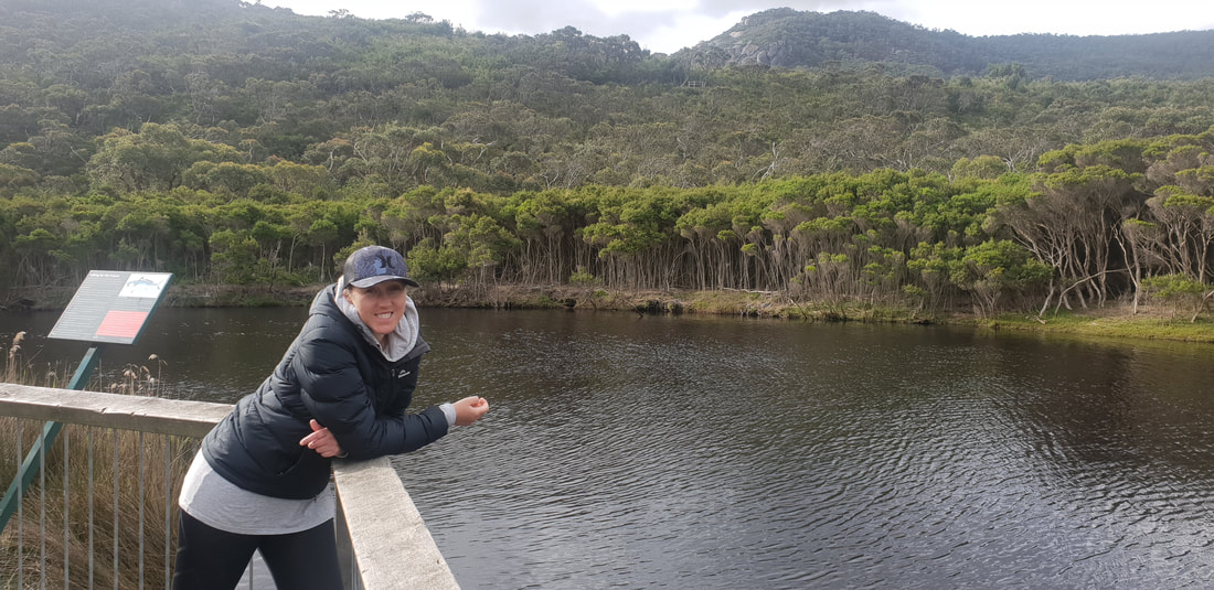
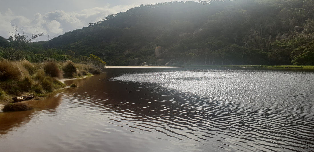
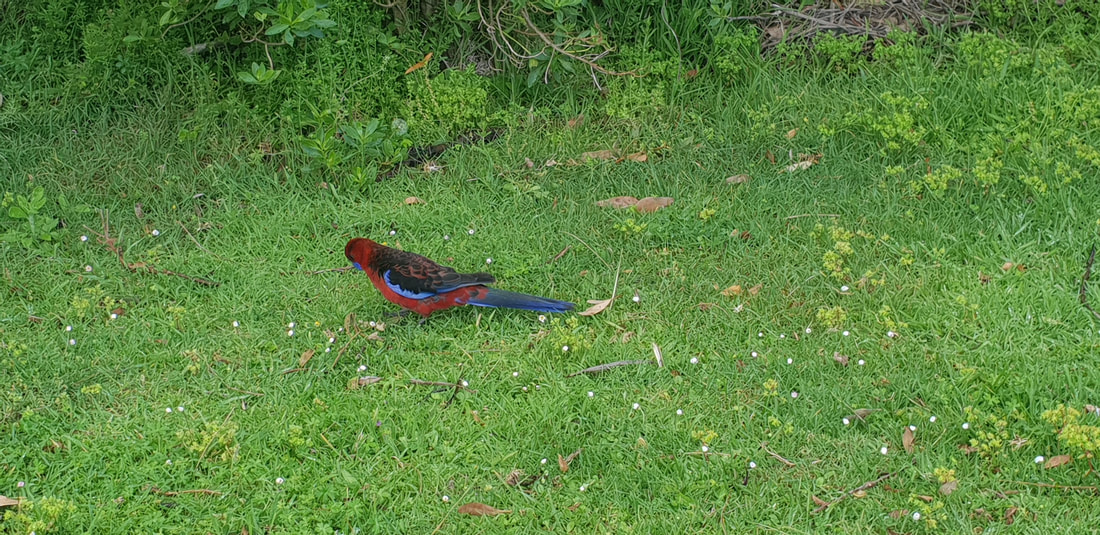
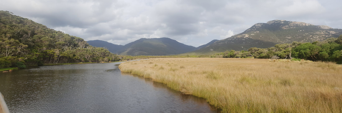
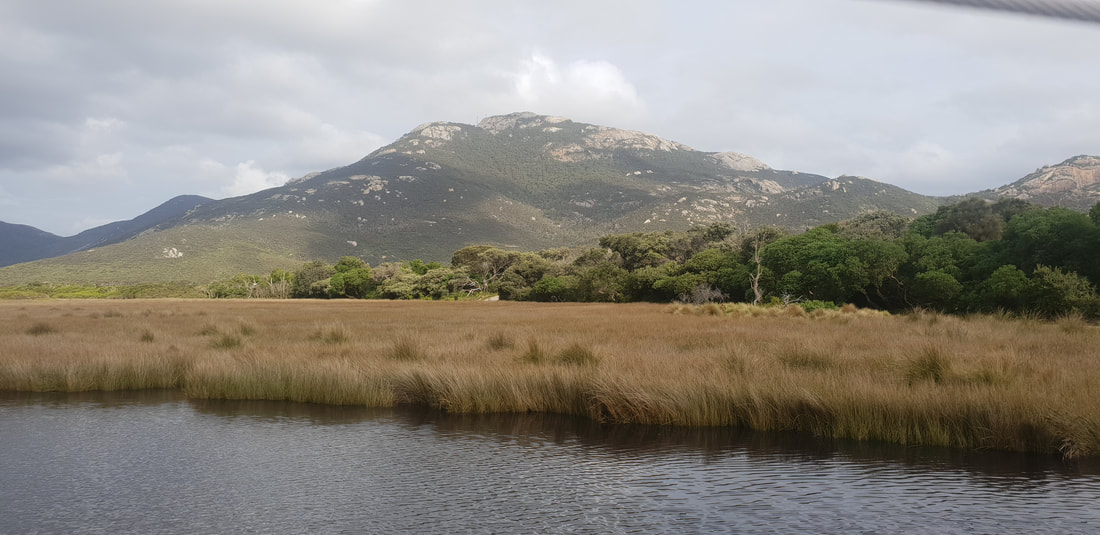
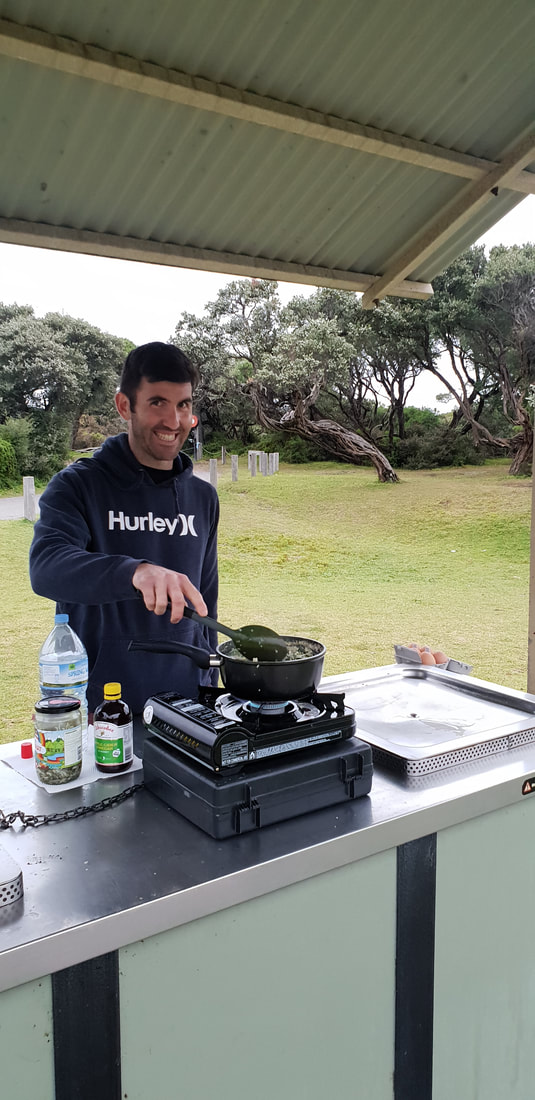
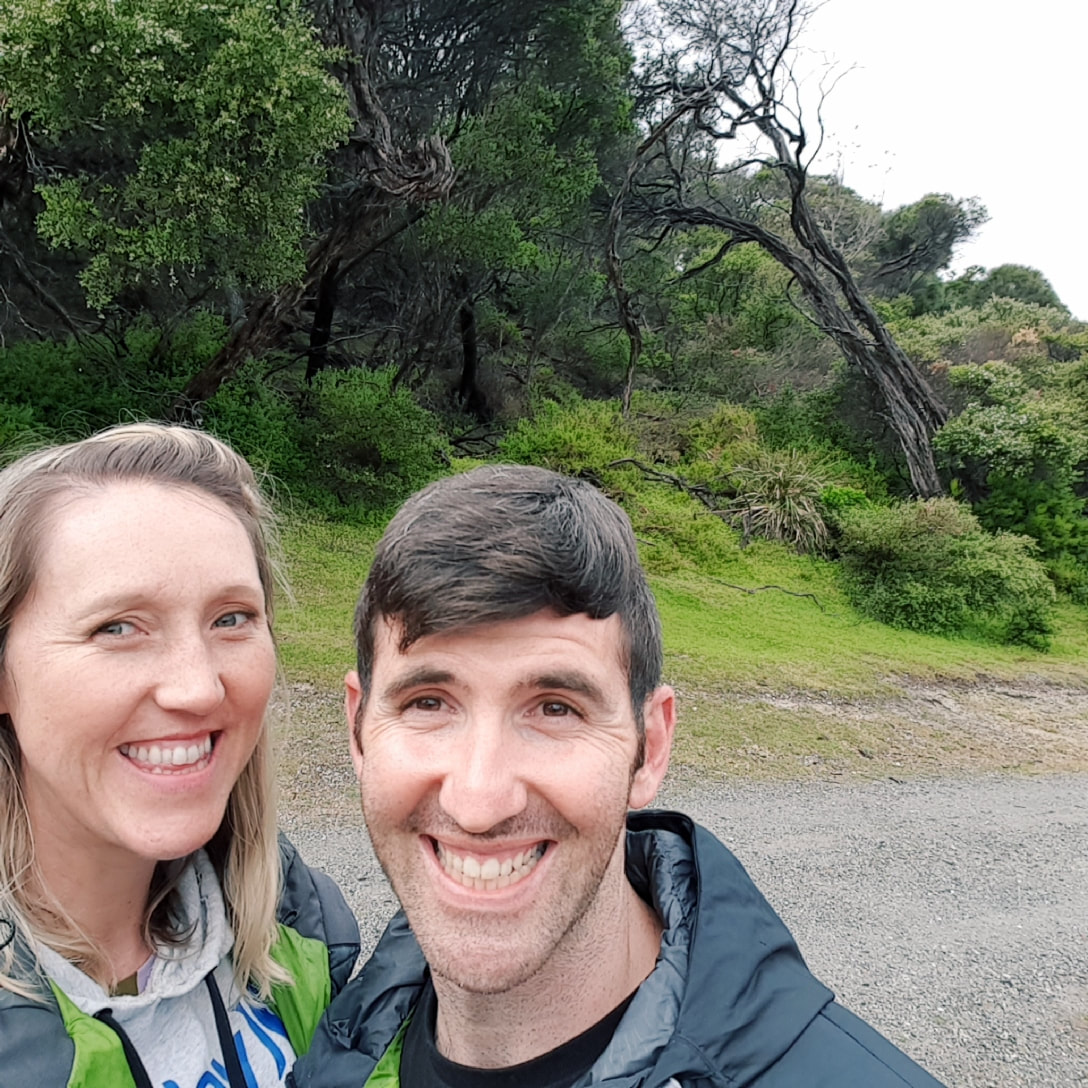
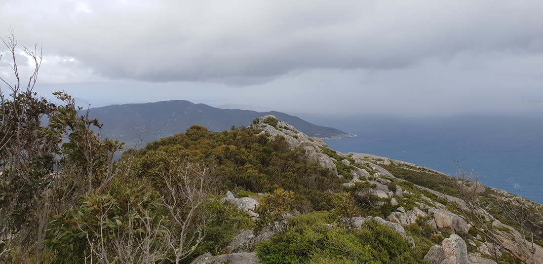
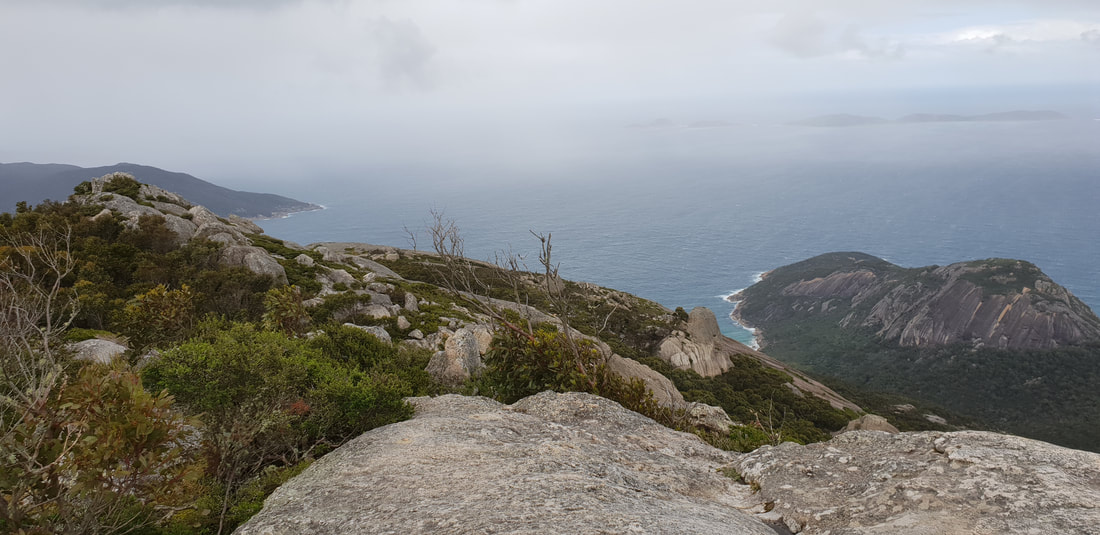
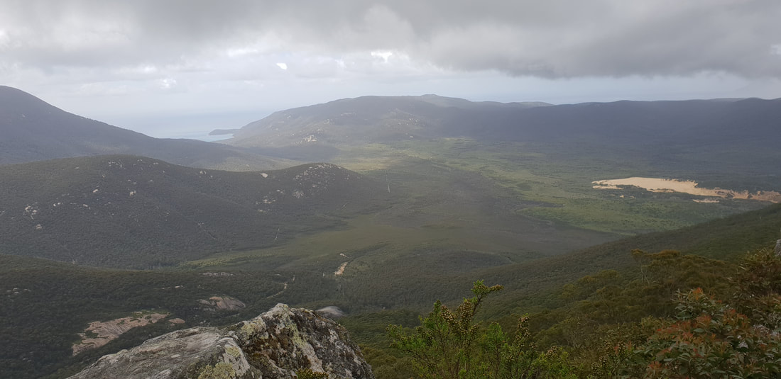
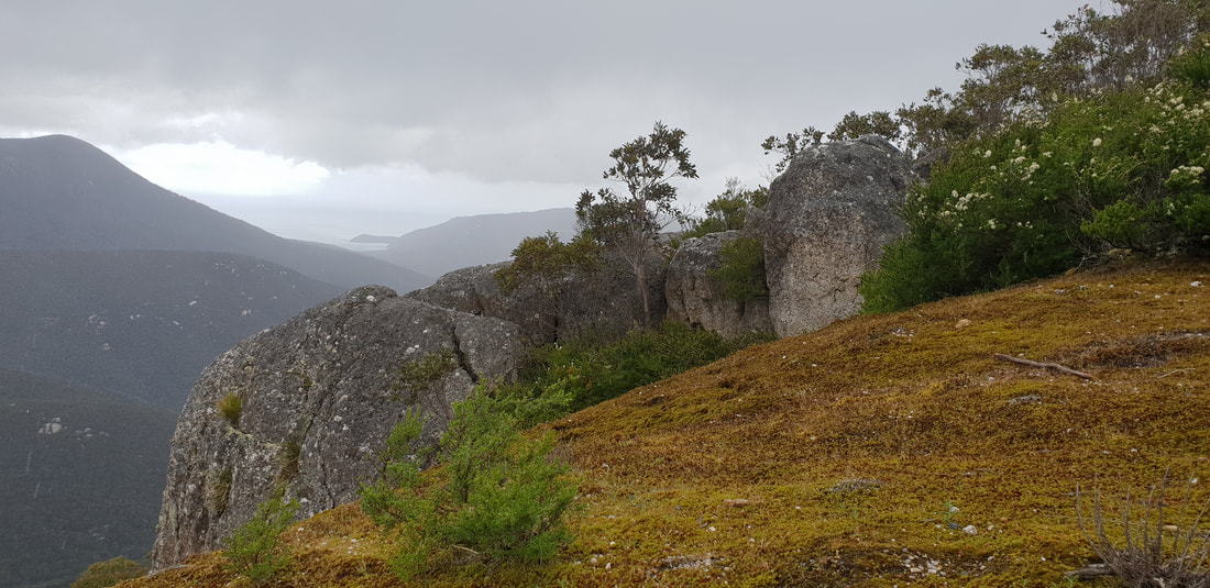
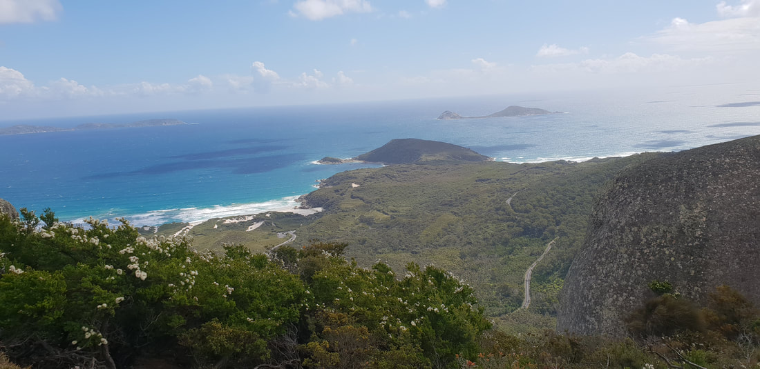
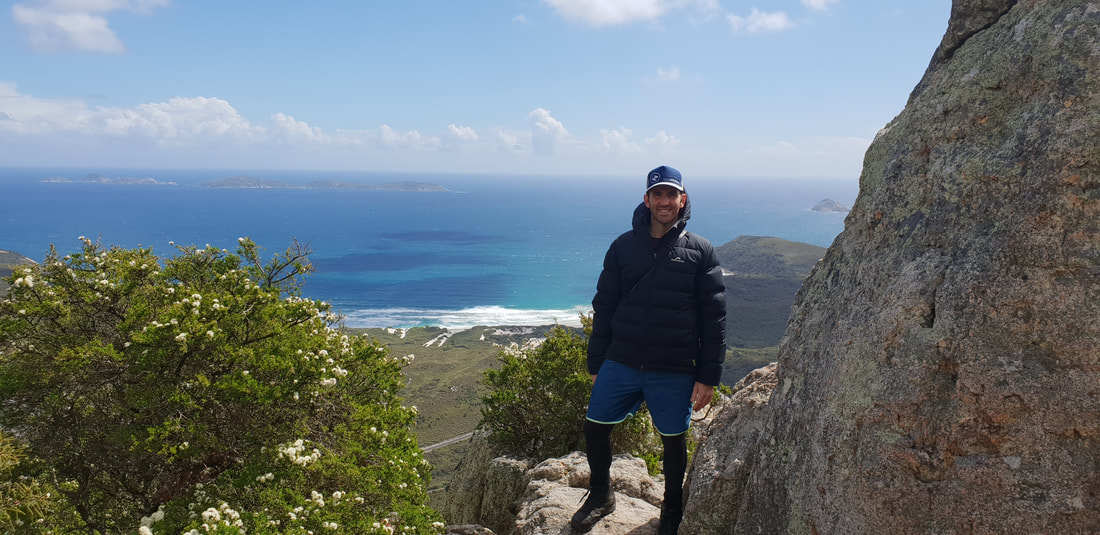
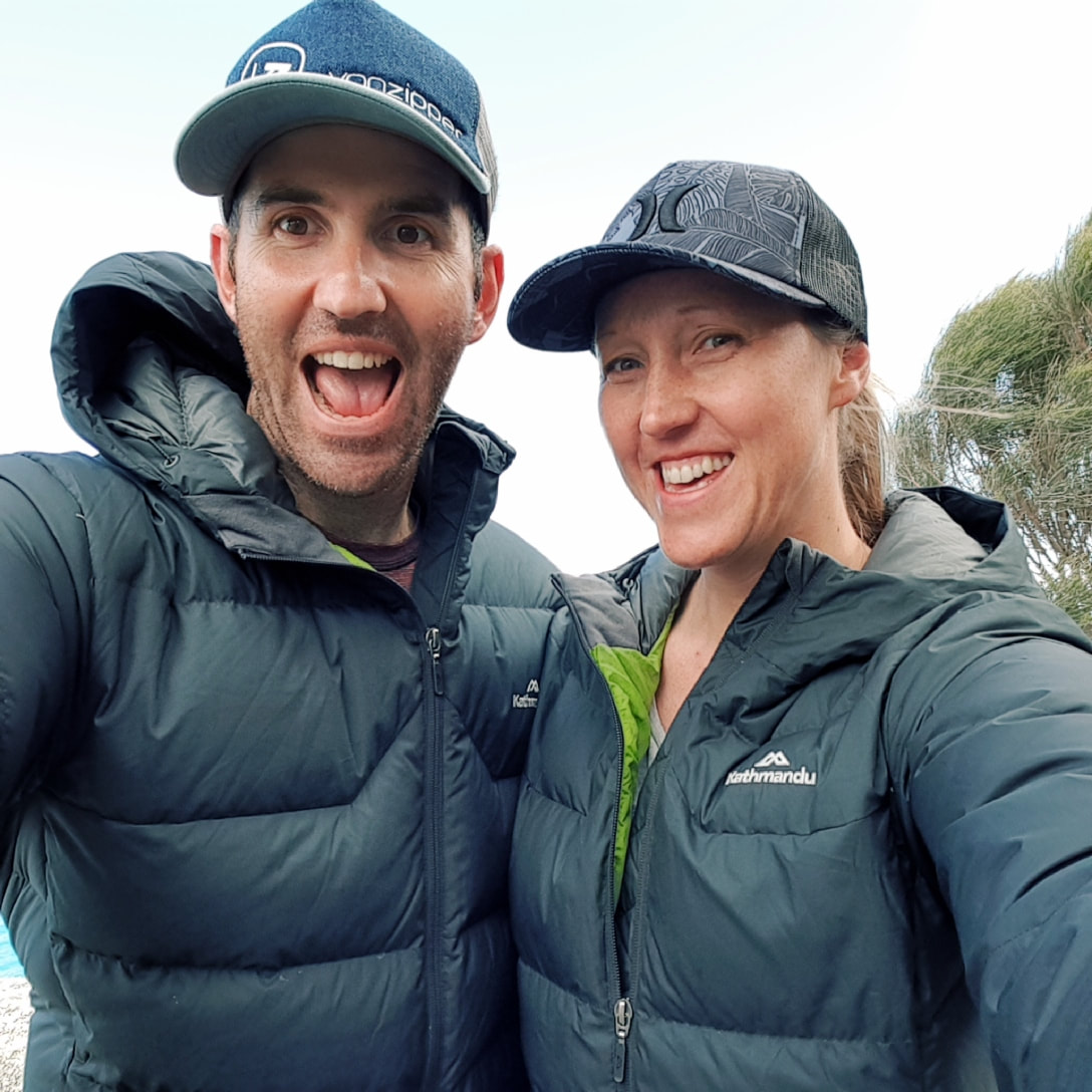
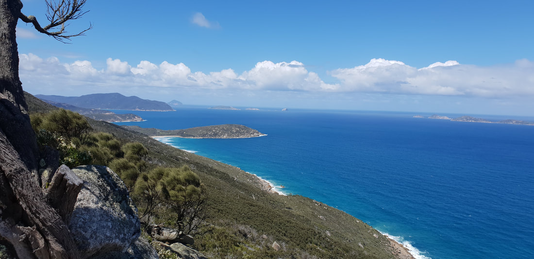
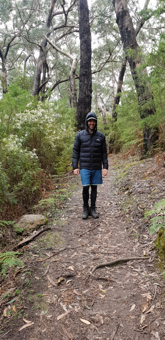
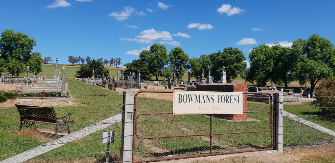
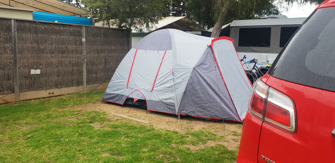
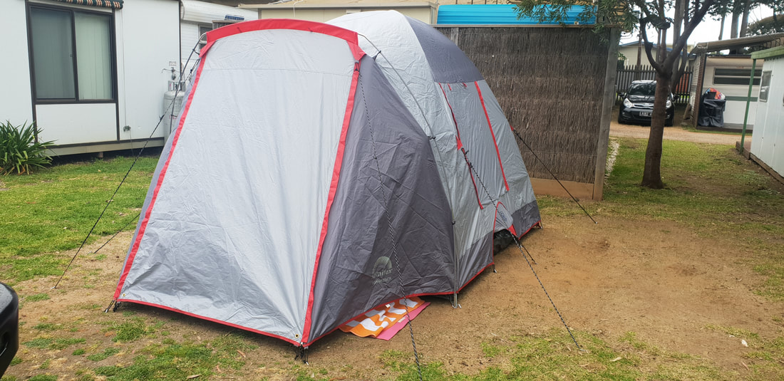
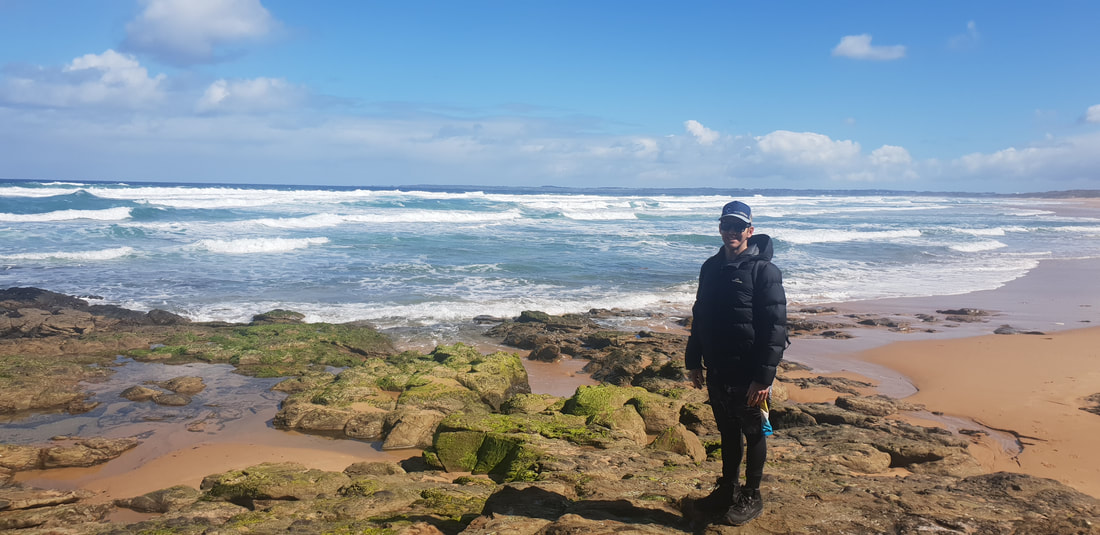
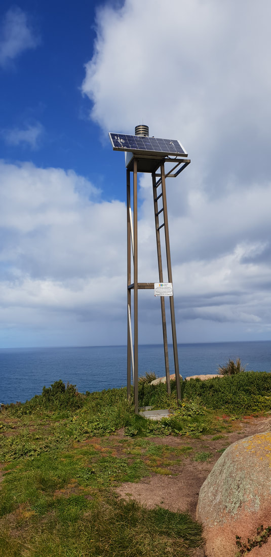
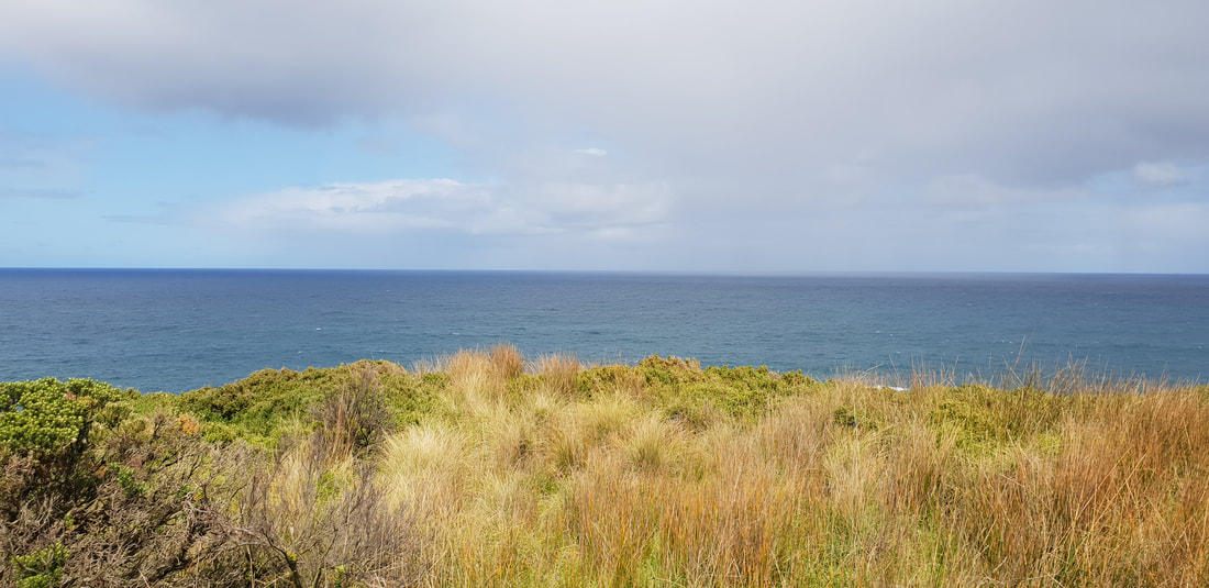
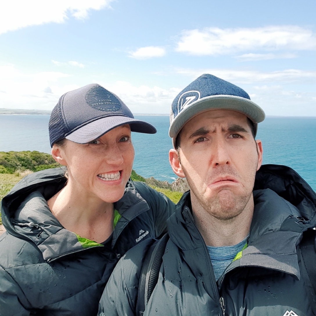
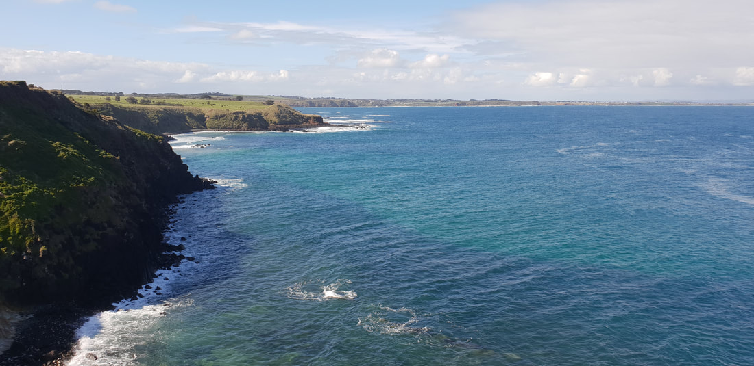
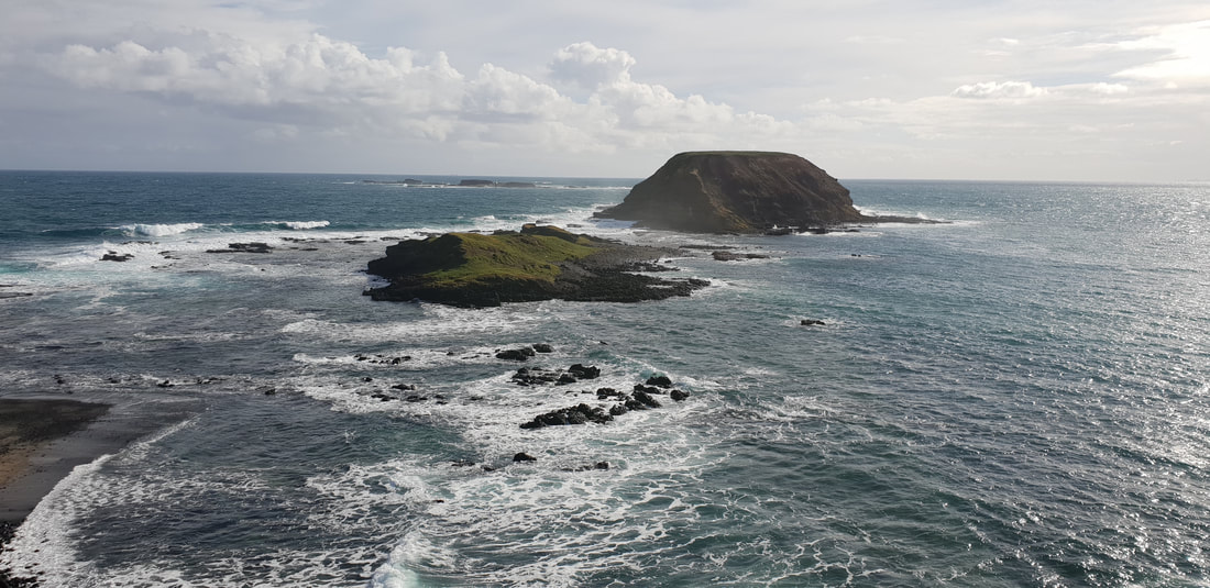
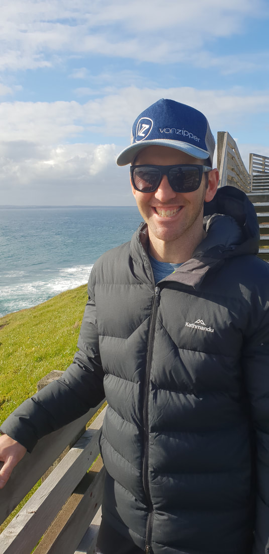
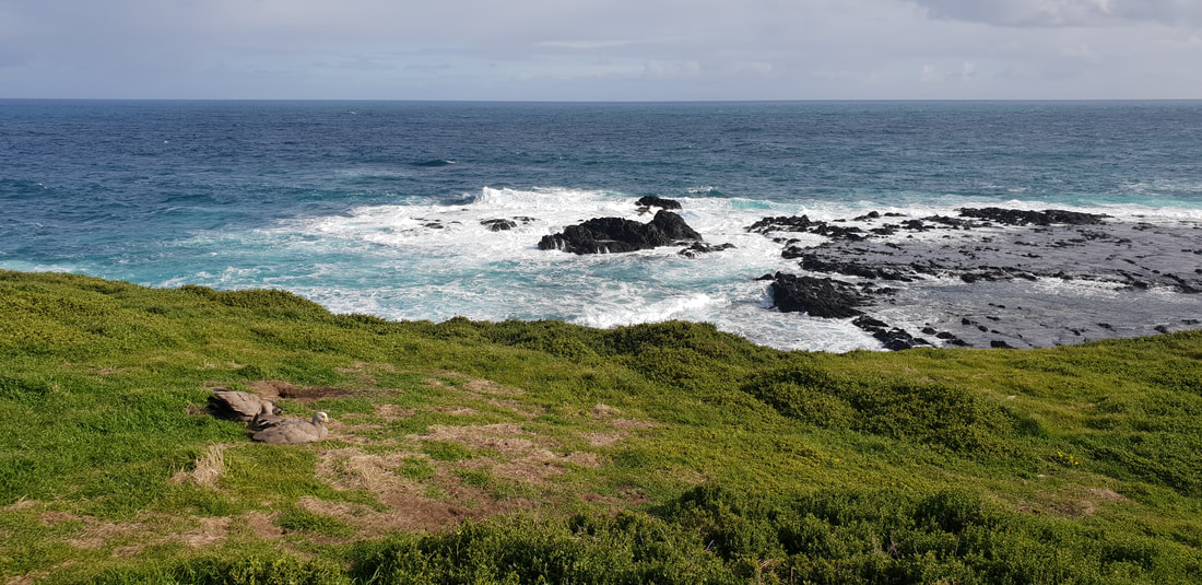
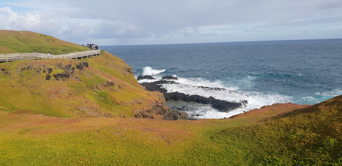
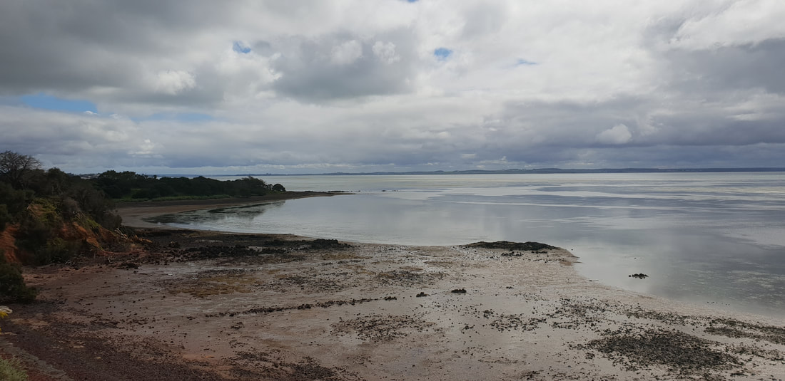
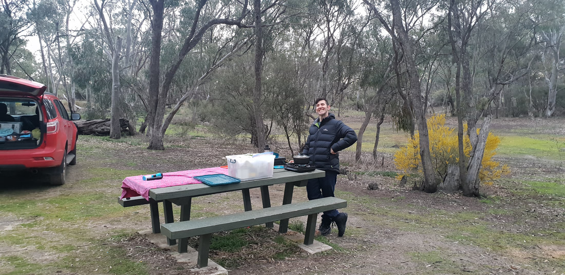
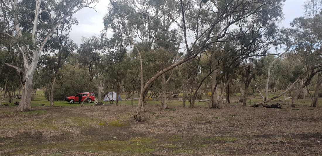
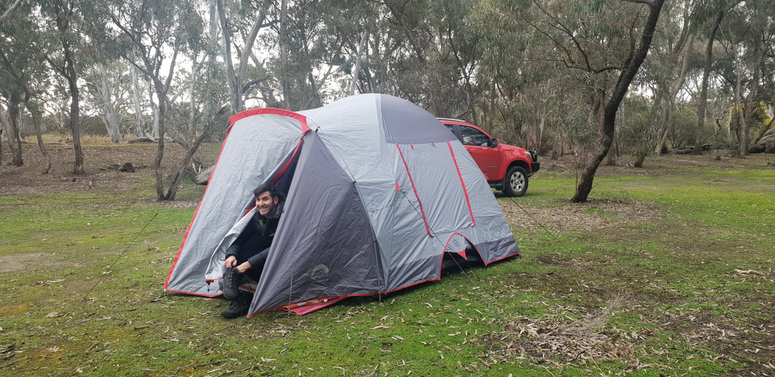
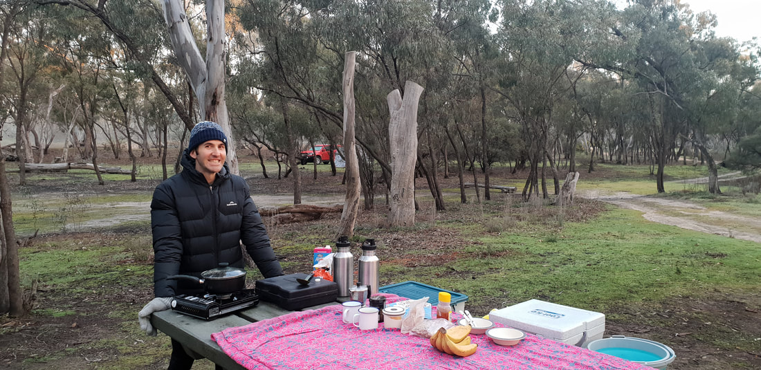
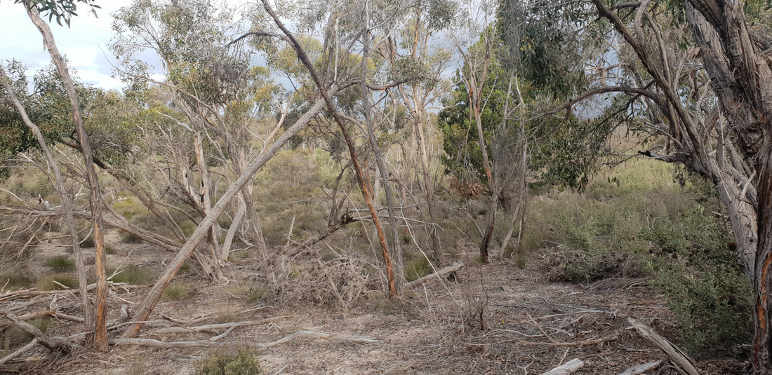
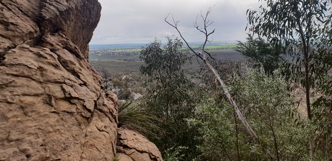
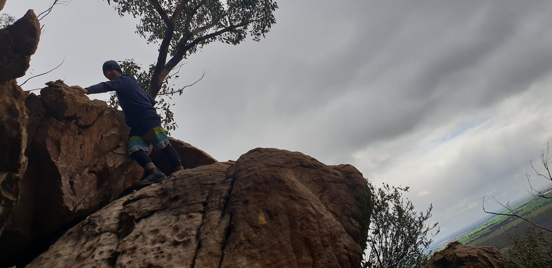
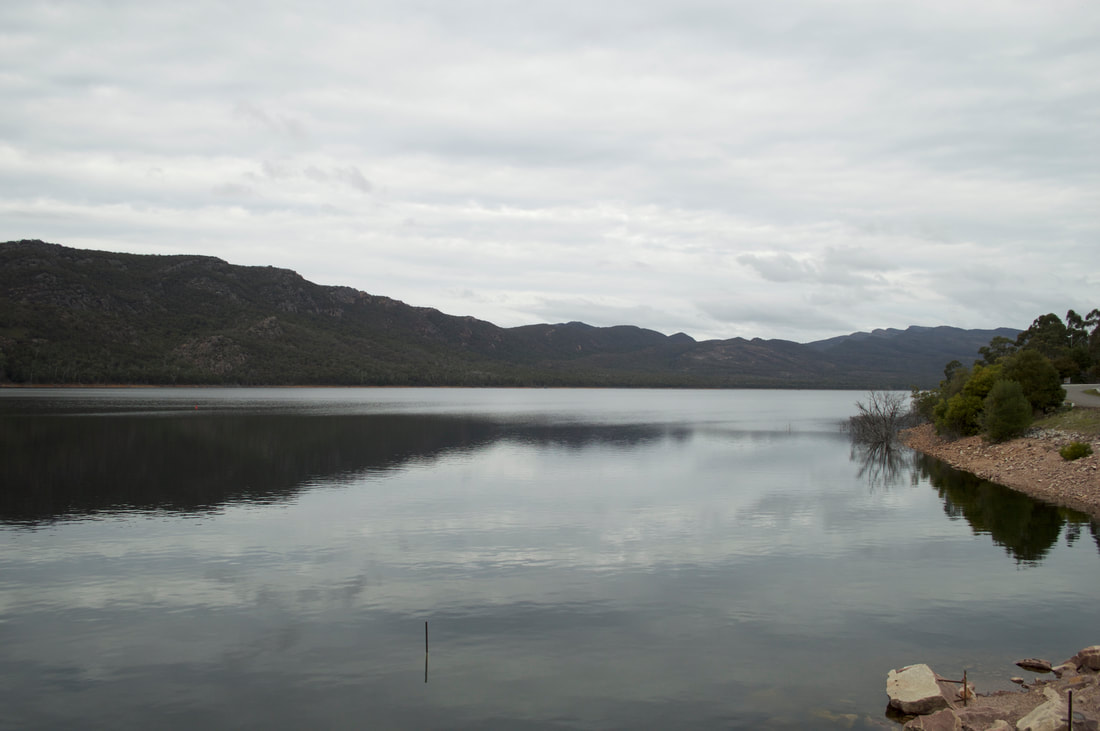
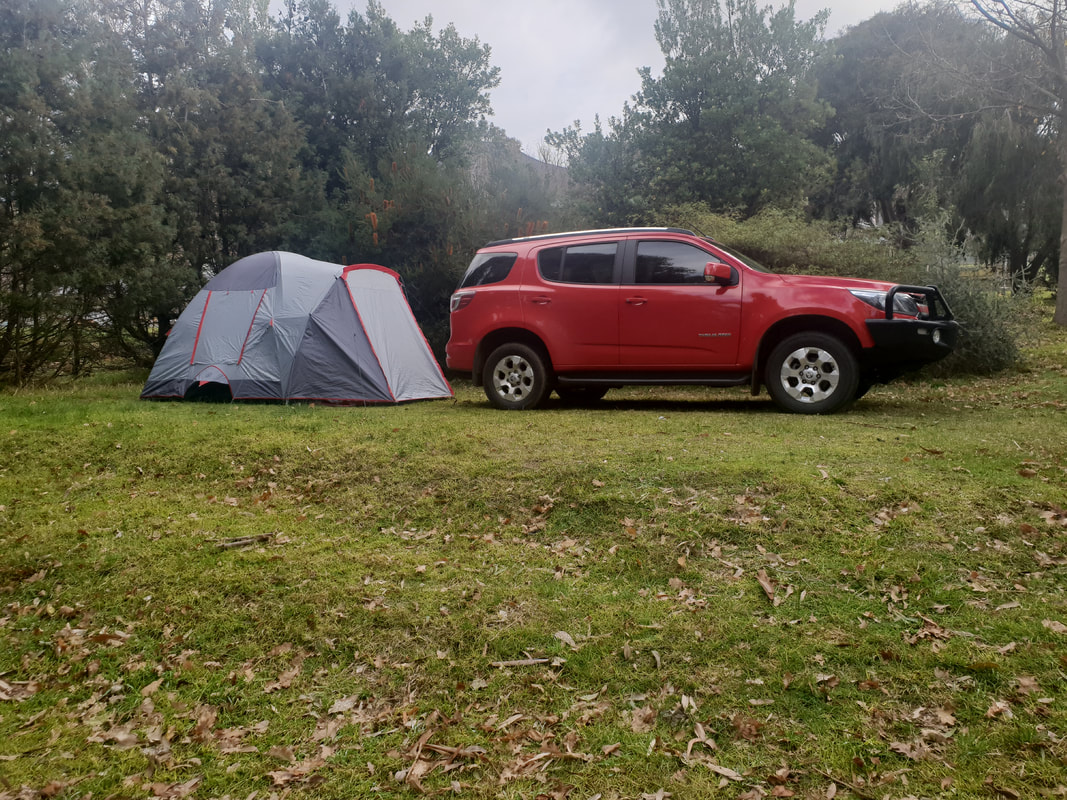
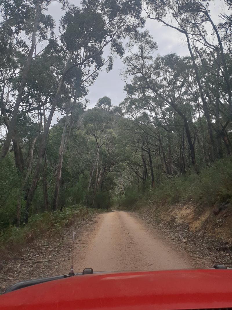
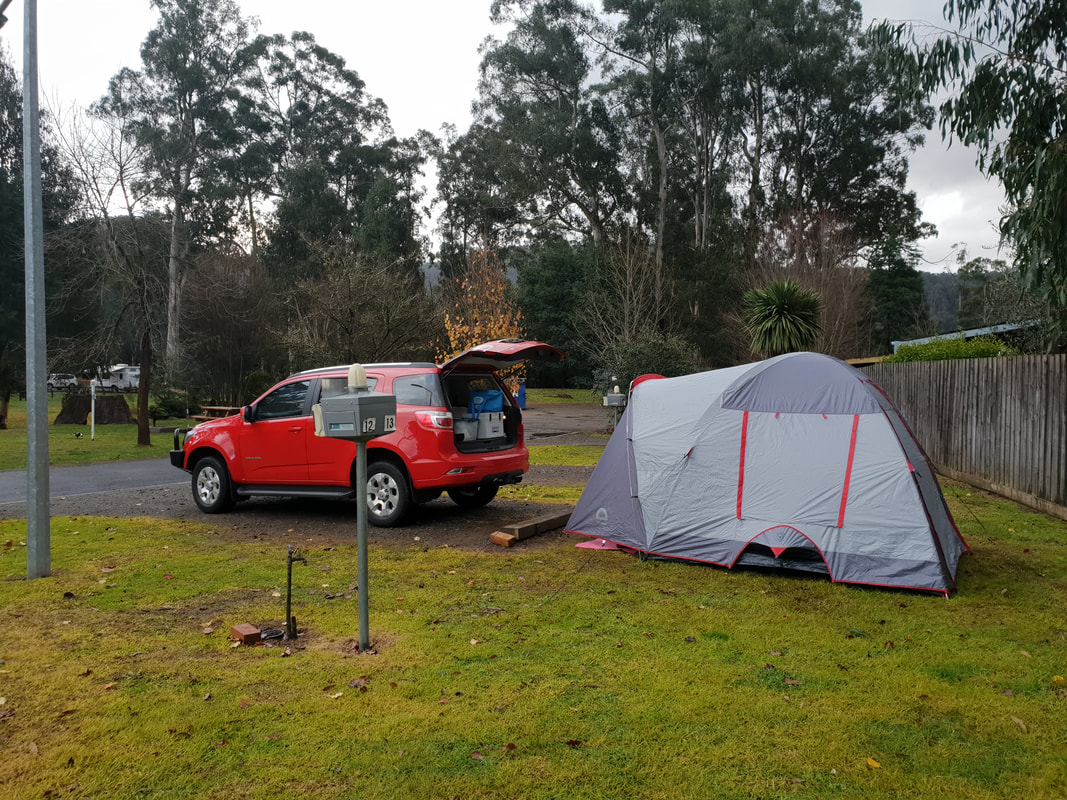
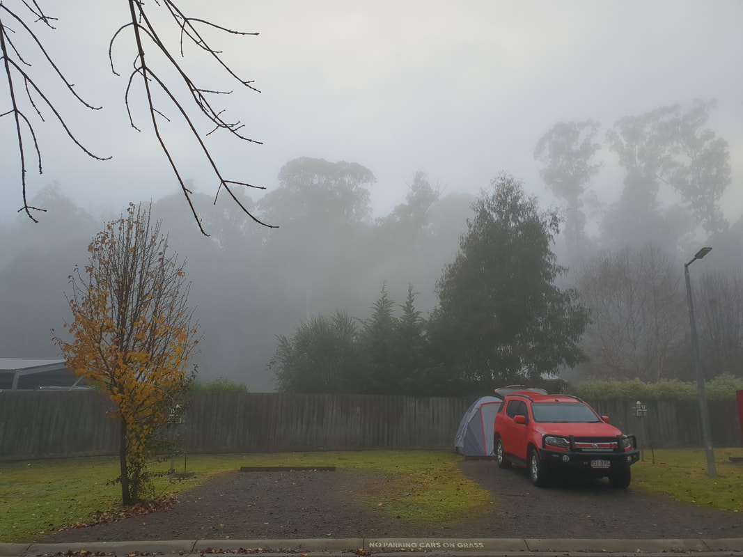
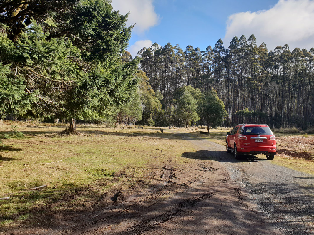
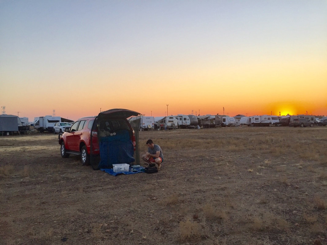
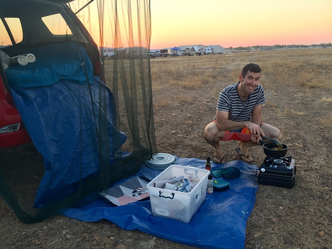
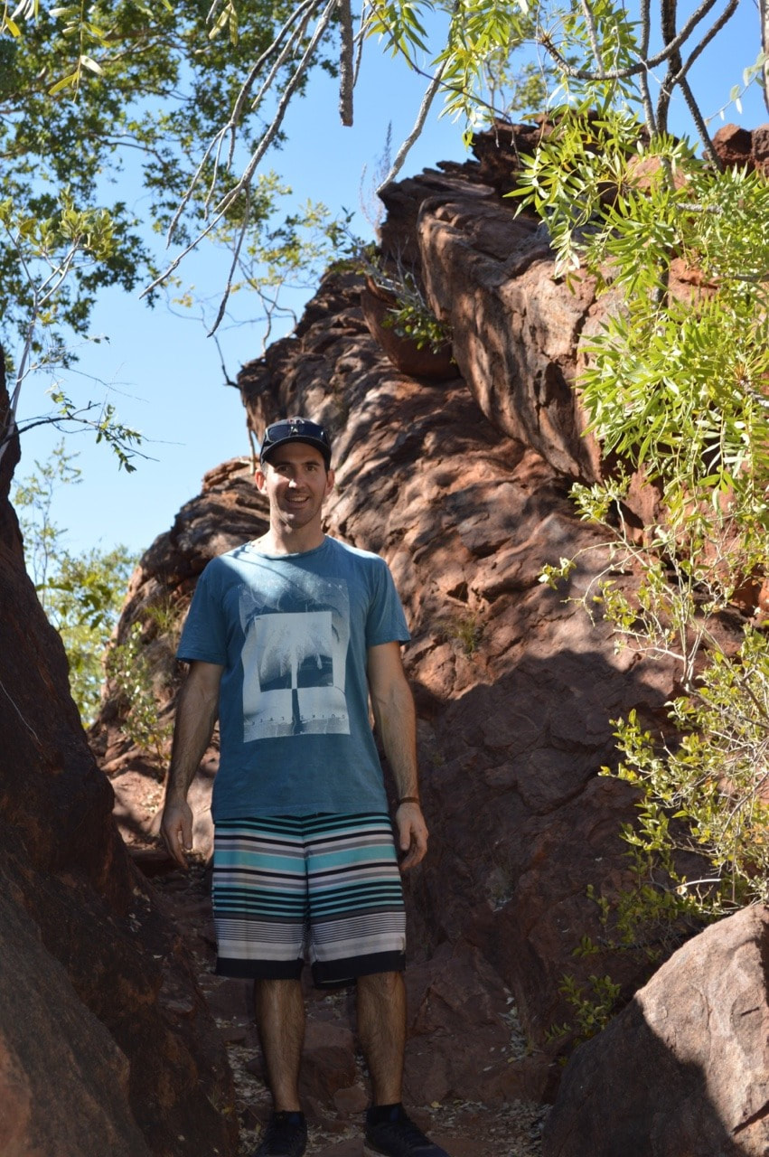
Tidal River Camp GroundCampsite 319 on 31st Avenue near the Hill Block Amenities: Our tent 'Rex' is an absolute beast, withstanding two consecutive days and nights being pummelled by 70 kph winds, inconsistent and heavy rain and scatterings of hail. Our nights were sleepless as we laid awake watching 'Rex' literally sway, collapse and retract, as wind howled around us, but we "wouldn't be dead for quids" and had an amazing few days in this pristine rugged windswept paradise. George Bass sailed past the Promontory in 1798 and presumed upon spotting the mountainous peaks, he was passing an island. It was not until later in the year when he returned with Matthew Flinders he realised what he had thought was an island was actually a promontory, a mass of protruding land connected to the mainland. Although originally named, Furneaux Land by Bass, it was renamed, Wilson's Promontory after a friend of Matthew Flinders, Thomas Wilson, a London based merchant who traded with the new colony of New South Wales. During this time the Nautilus a sealing vessel moved in on the area, it is believed culling over 9,000 seals for their fur. After this expedition the seal industry took off in the region going strong between 1800 and 1830, when declining and unsustainable seal numbers saw the demise of the industry. The whaling industry also went gangbusters in the region in the early 1800's lasting up until 1847 when again declining numbers ground the industry to a halt. By the mid 1800's Wilson's Promontory was starting to become a tourist destination for botanists and anyone keen to experience the area's rich natural beauty. Two towns were proposed for the Promontory, one called, Yanakie situated where the Promontory connects with the mainland and one called, Seaforth at Freshwater Cove. Despite the land at Seaforth being surveyed and allotments sold in 1892 neither town actually developed, although a pub was built at Seaforth that operated for many years afterwards and Yanakie has in more recent times been developed. Tin was discovered in the 1870's, but it was not until 1915 during WWI that a tin mine was constructed, operating until 1936 when the ore ran out. In 1905 Wilson's Promontory was awarded National Park status, but was closed to the public from 1941 to 1946 during WWII for use as training ground for the Australian and New Zealand armies.
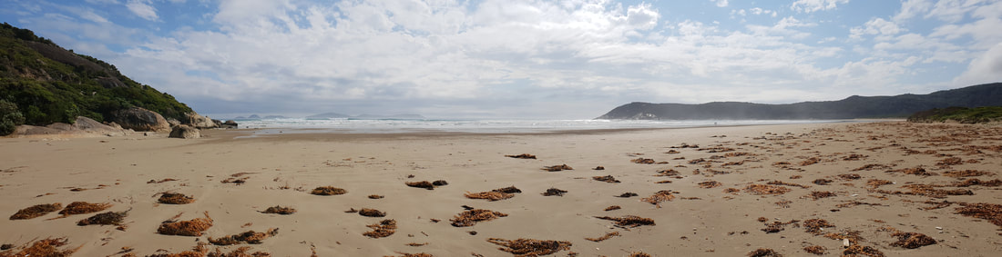
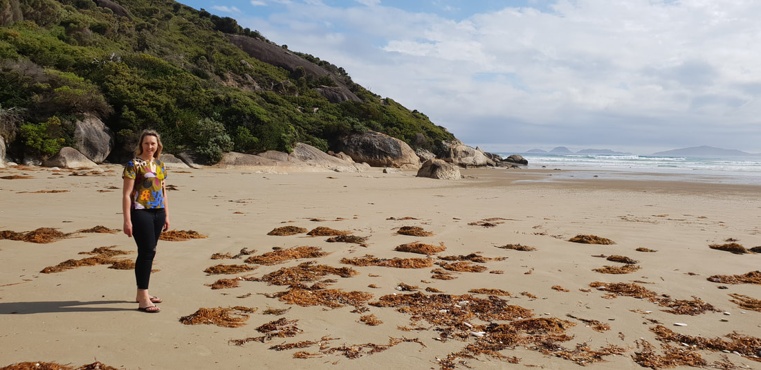
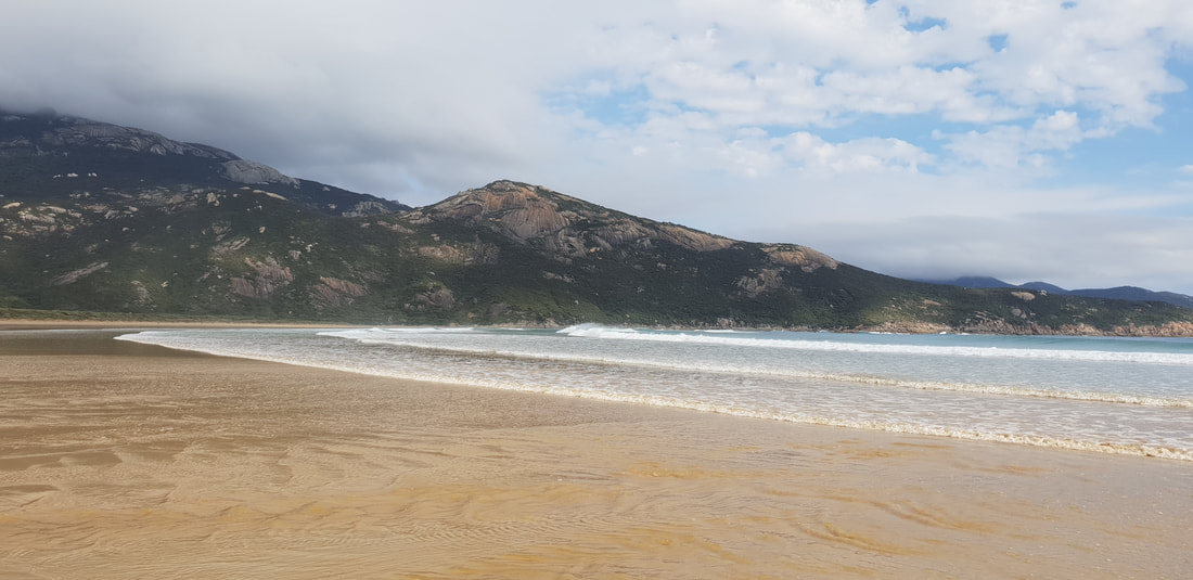
  Norman Beach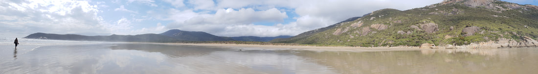
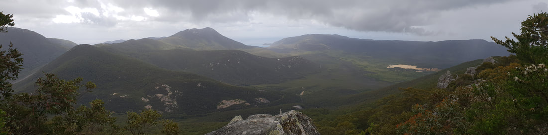
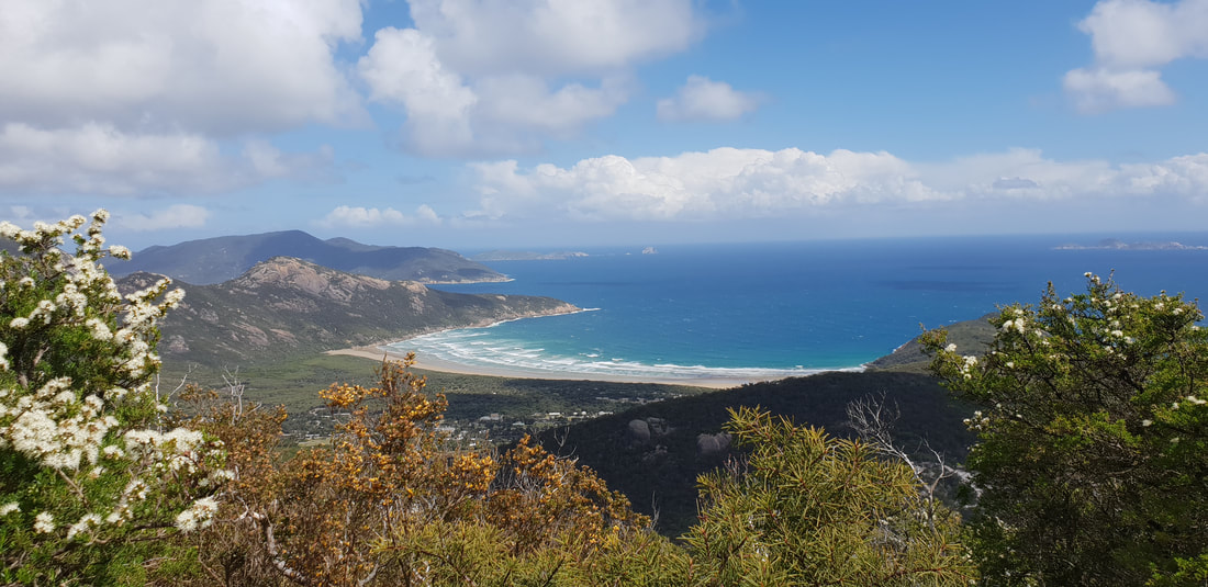
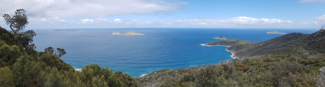
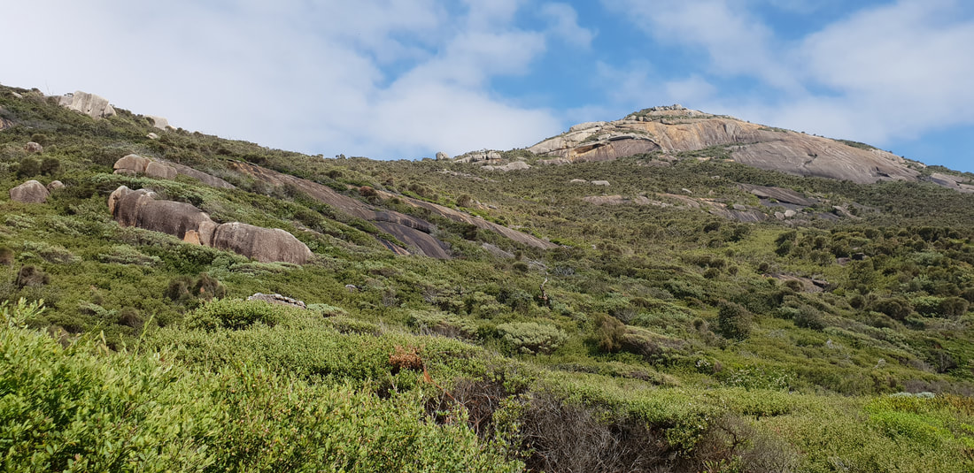
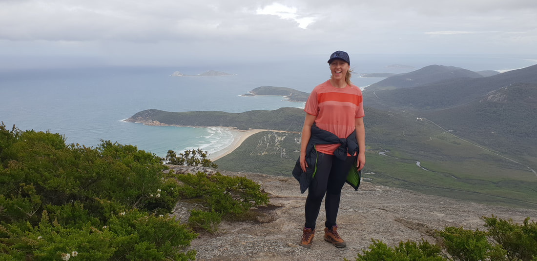
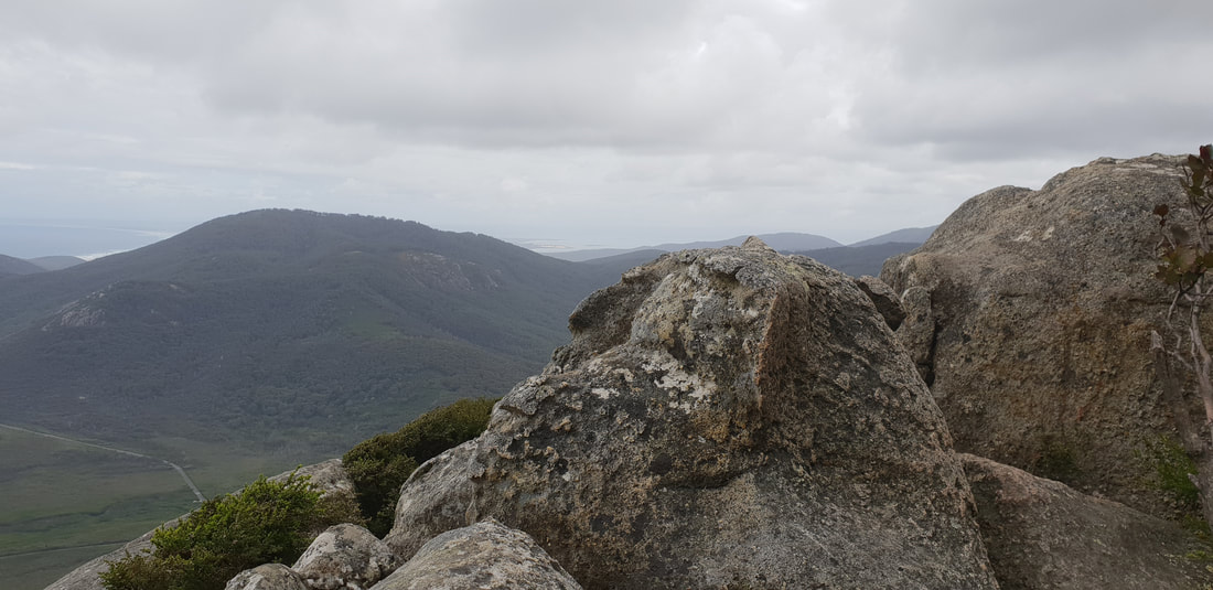
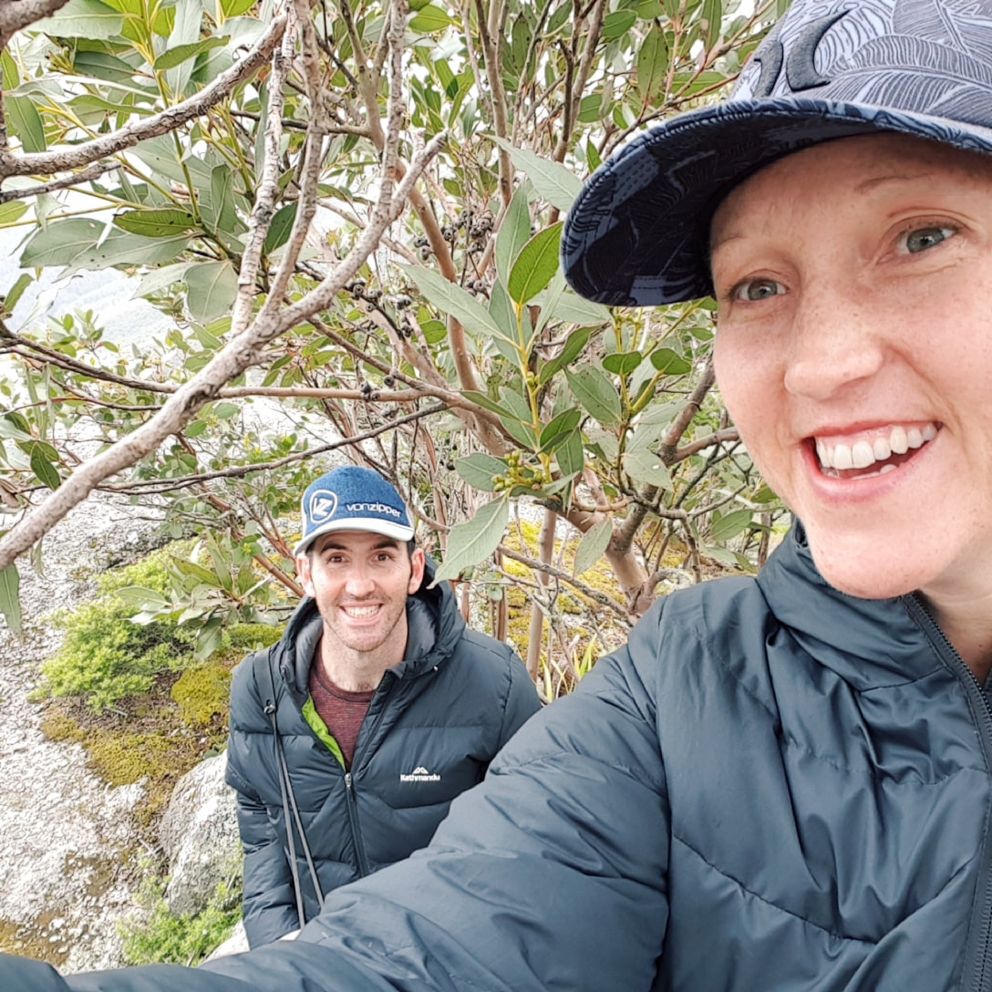
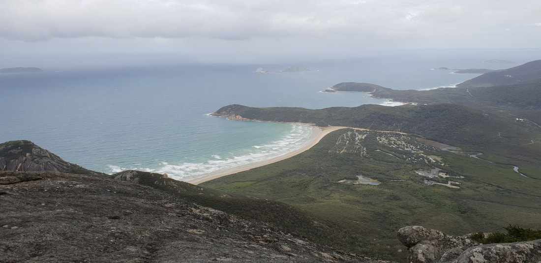
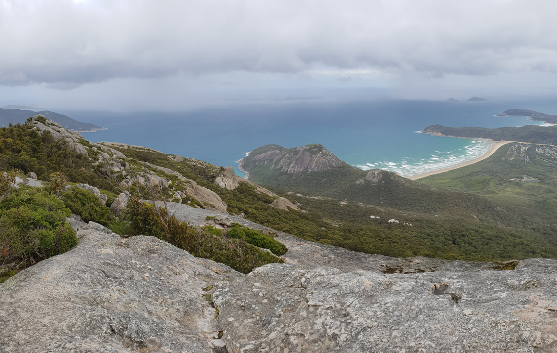
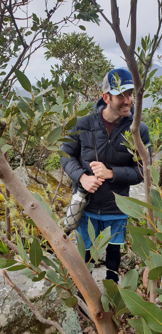
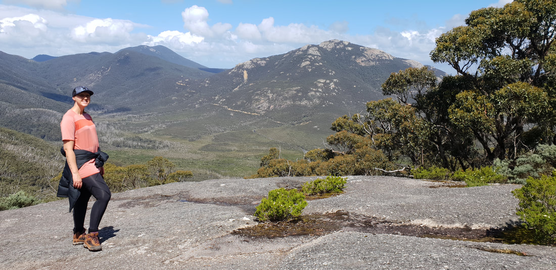
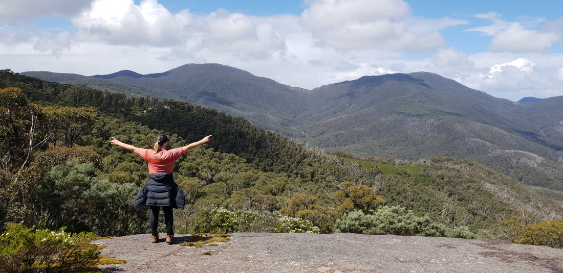
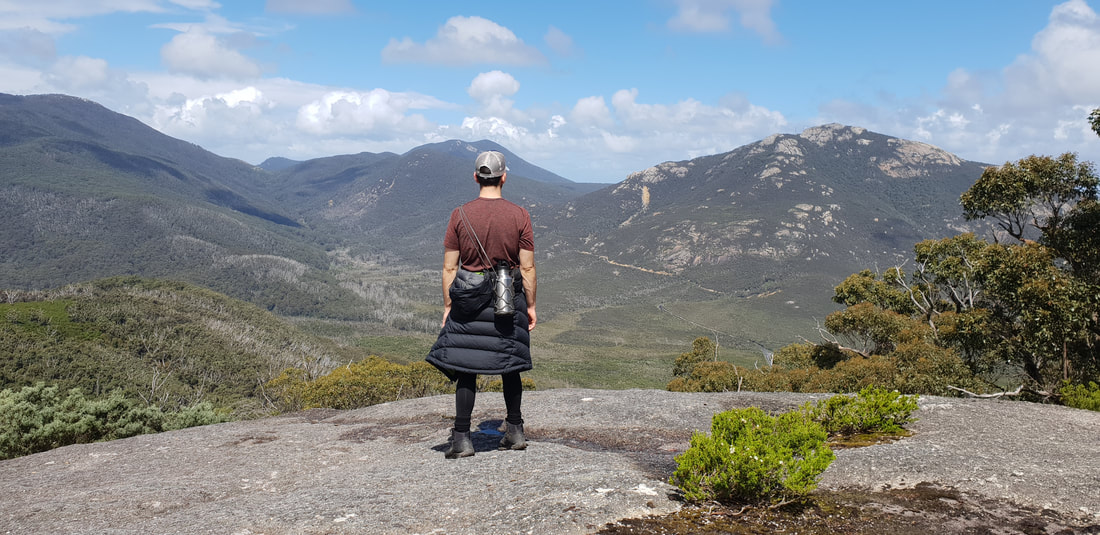
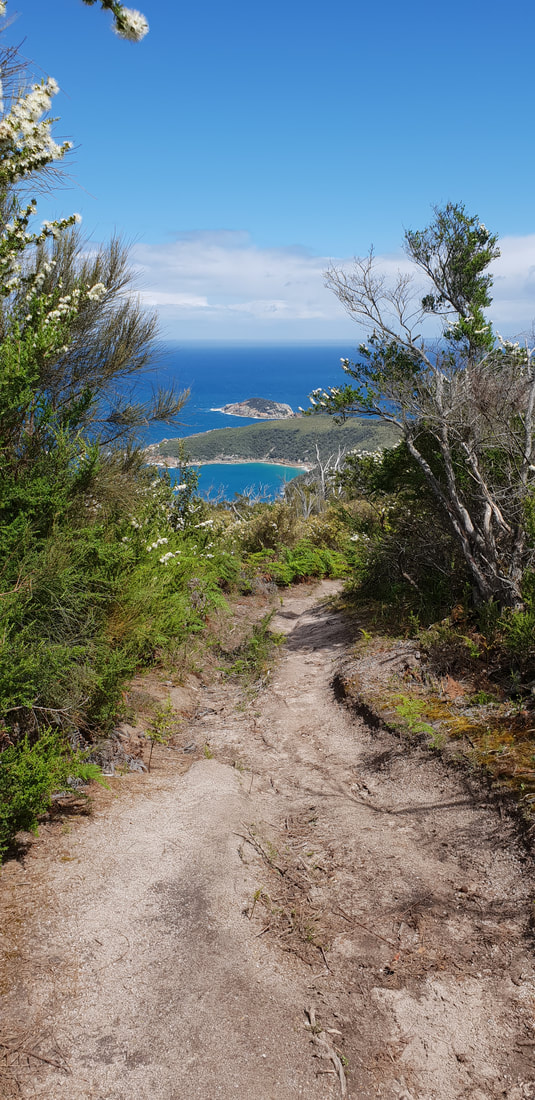
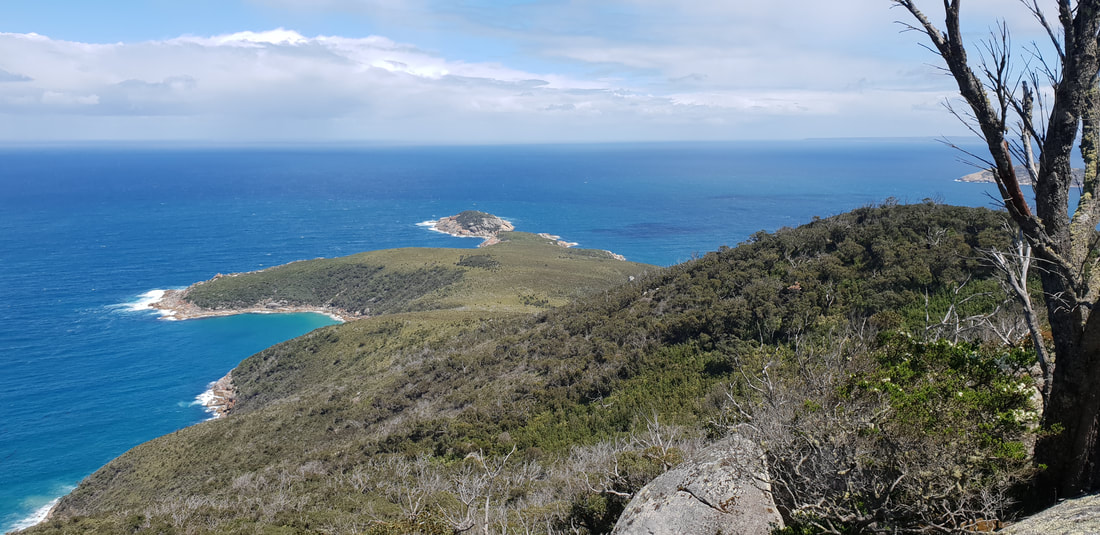
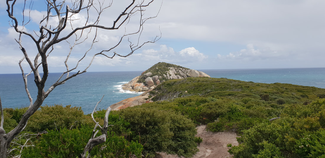
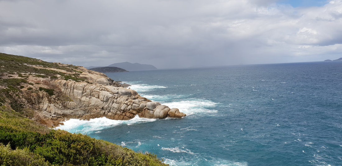
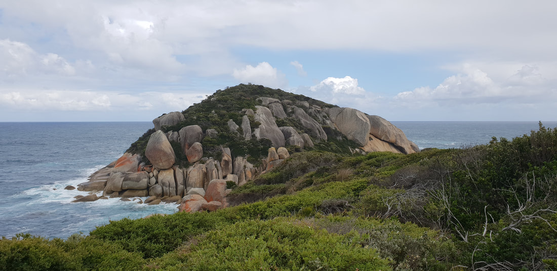
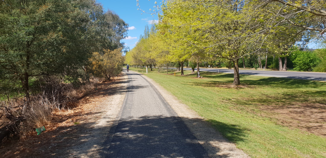
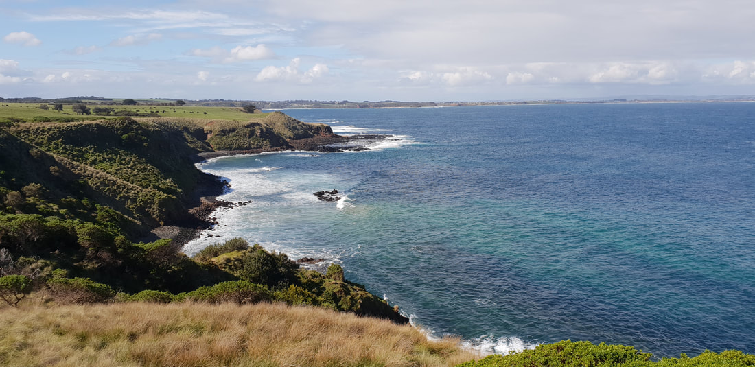
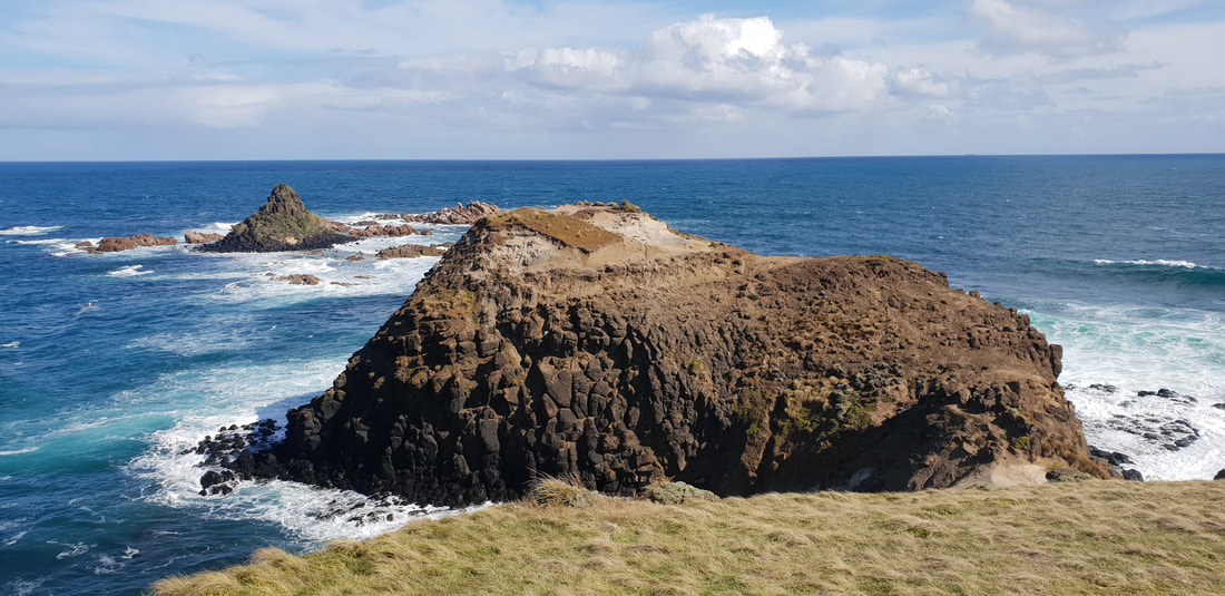
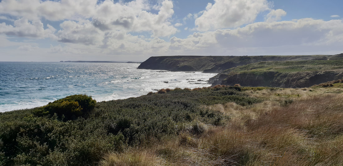
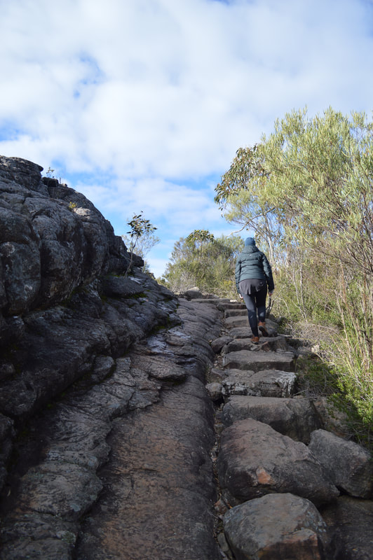
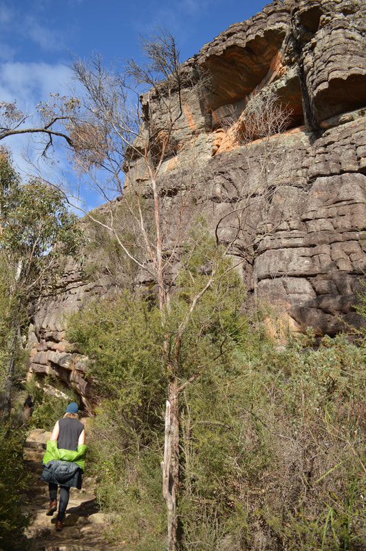
Mt. Oberon Summit Walk, 6.8kms return
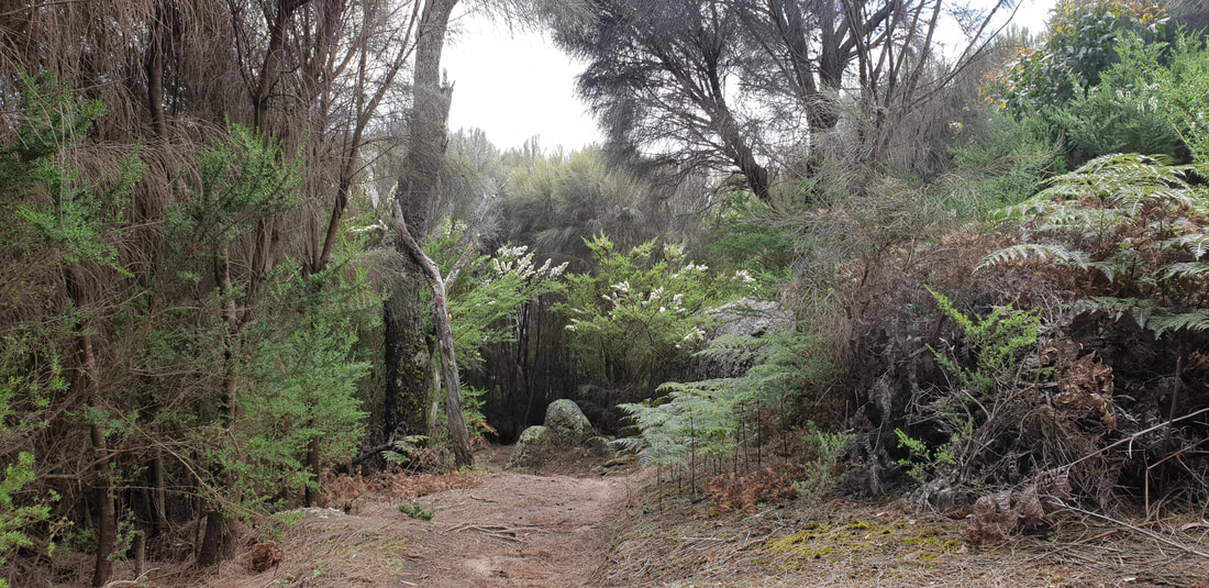
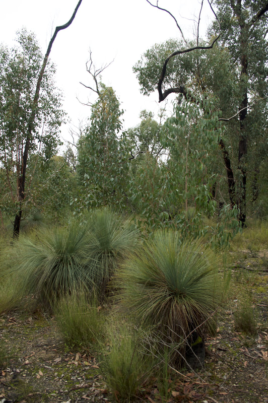
Mt. Bishop Summit Track & Lilly Pilly Circuit, approx. 10kms return, through stringy-bark forest
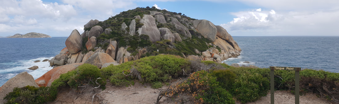
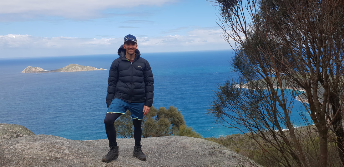
Tongue Point from Darby Saddle, past Sparkes Lookout, 11.2kms return
We heart Lake Sambell Caravan Park
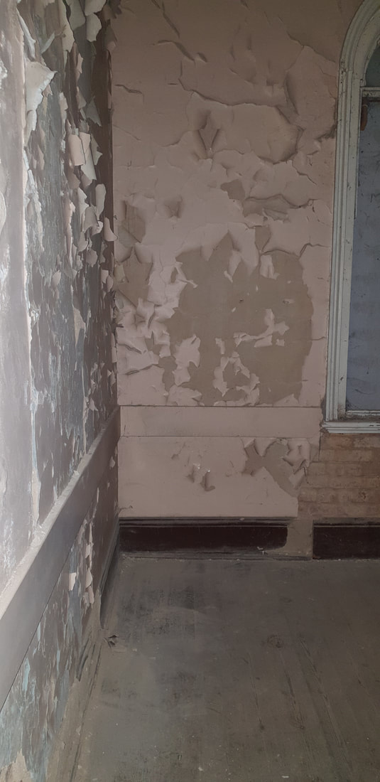
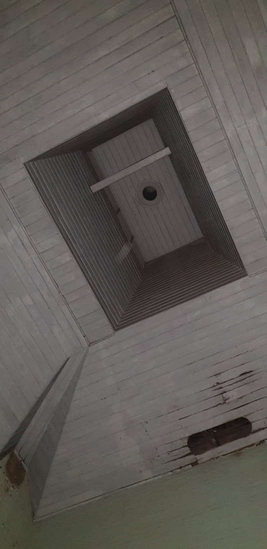
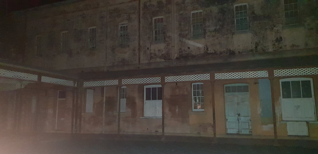
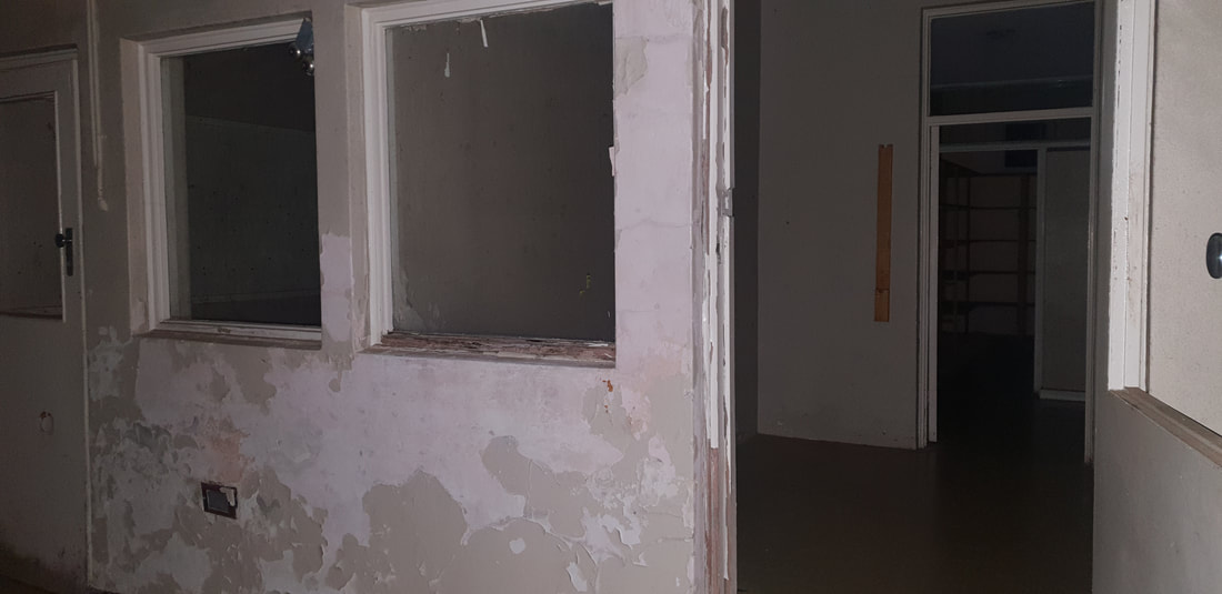
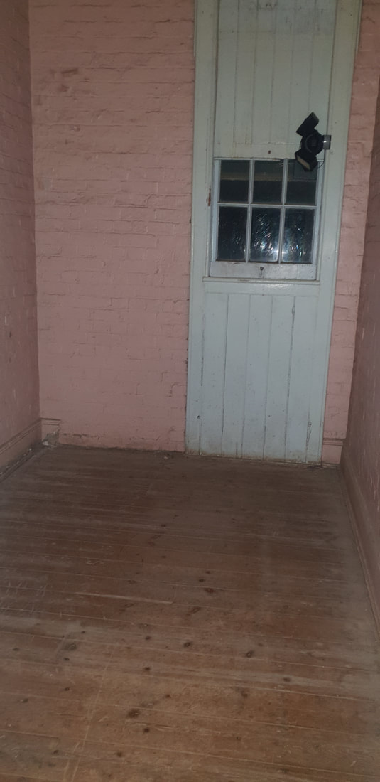
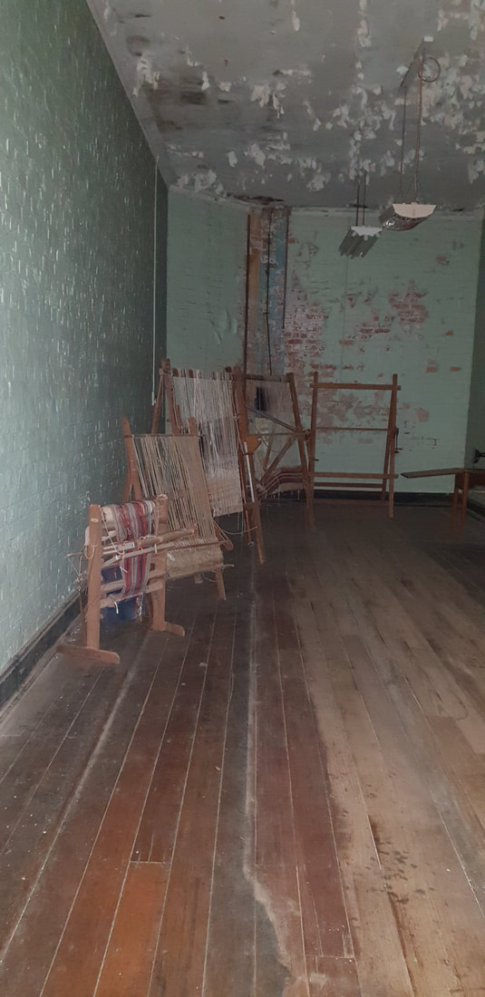
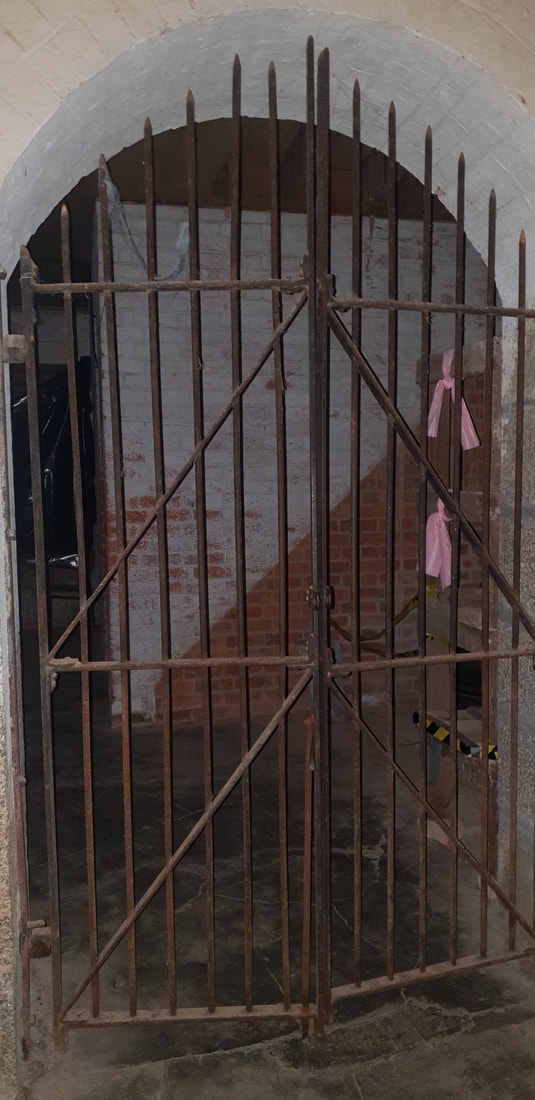
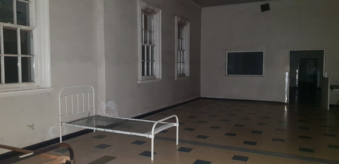
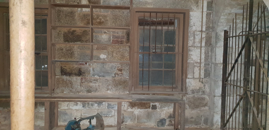
Mayday Hills Lunatic Asylum
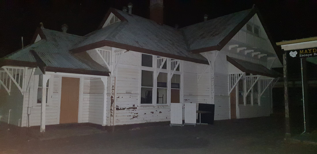
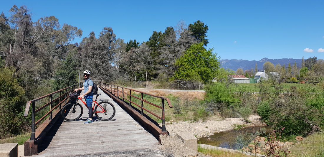
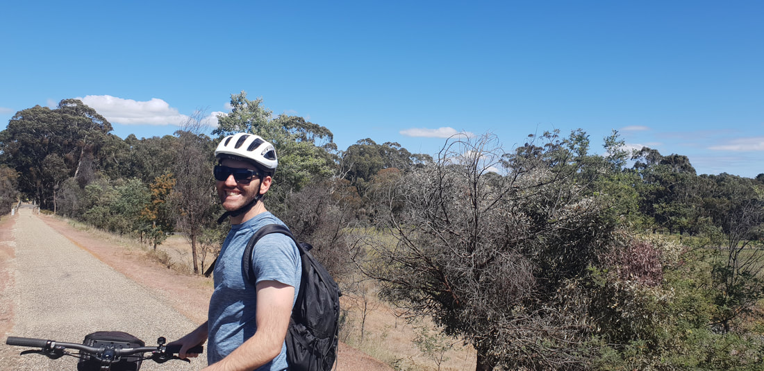
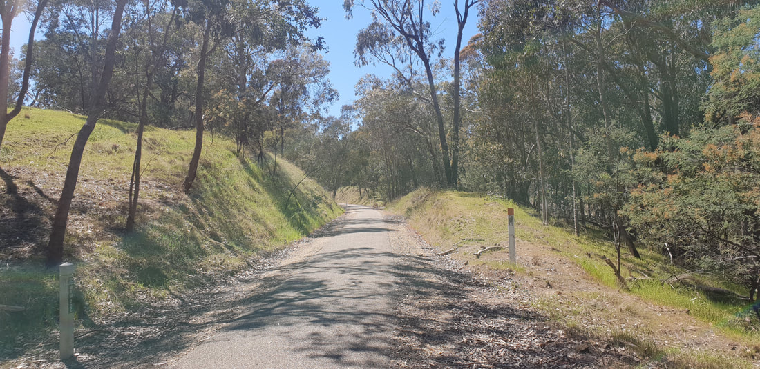
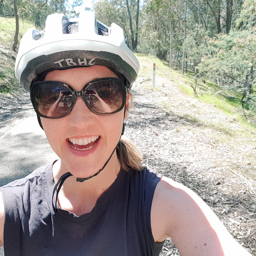
Beechworth Gold Fever was raging in 1867 when the Lunatic Asylum on Mayday Hills a few kilometres out of town was opened. It took only two signatures to have you admitted for as little as being presumed to be a lady of the night for wearing red, having epilepsy, being homeless or suffering from asthma. At its peak, the "hospital" housed up to 1200 patients and 600 staff members in 67 buildings on 106 hectares of farmland. Staggeringly the facility closed as a hospital for the mentally insane as recently as 1996, when it became listed on the Heritage Registry and the patiences moved to the Beechworth hospital. The buildings were sold to private investors in 2013 and have since been subdivided and sold to individuals as accommodation. Yes, that is correct, some of the buildings are now actual homes! Shovel and I participated in a night ghost tour, the admission fee assists to preserve the women's building, and we were told this section of the grounds will be restored and maintained over-time. The architecture of the women's building and the other buildings we visited is impressive, but much of the interiors have been guttered by Latrobe University the previous owners, so it was left to our imagination as to room layouts and actual uses. Having enjoyed such a interesting ghost tour of the Geelong Gaol earlier this year, I have to say I was a little underwhelmed and was confused at times with the disjointed re-telling of the asylum's history and the characters involved. We didn't see any ghosts or experience any ghostly activity, but the tour took an odd turn when three elderly ladies were 'kicked off' the tour for having a laugh and grew further odd when we were stuck listening to the tour guide in a completely pitch black 'cell' for longer than was necessary. I did learn that lunatic actually means 'a person effect by a full-moon' and that as a direct correlation to this, timber shutters were secured to the window's of patient's rooms to ensure they weren't effected by the moon, and that you needed eight signatures to have you discharged from the hospital. But, with people being admitted into the hospital for simply being human, it's no wonder they went insane. Beechworth to Myrtleford 43km Bike Ride
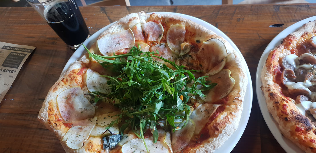
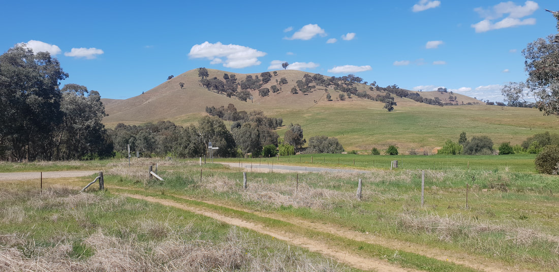
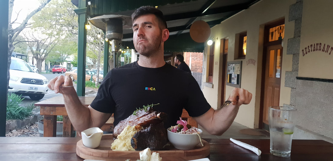
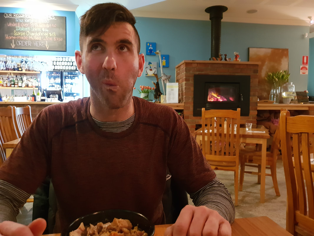
Shout out to the Yackandandah Star Hotel for hooking us up with a mad feed of Sweet Potato Gnocchi and Smokey Beef Ribs. Saturday night Beechworth was packed with Octoberfest revellers, so we opted for quieter surrounds and were so happy we did.
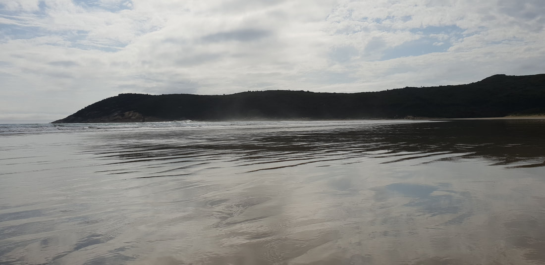
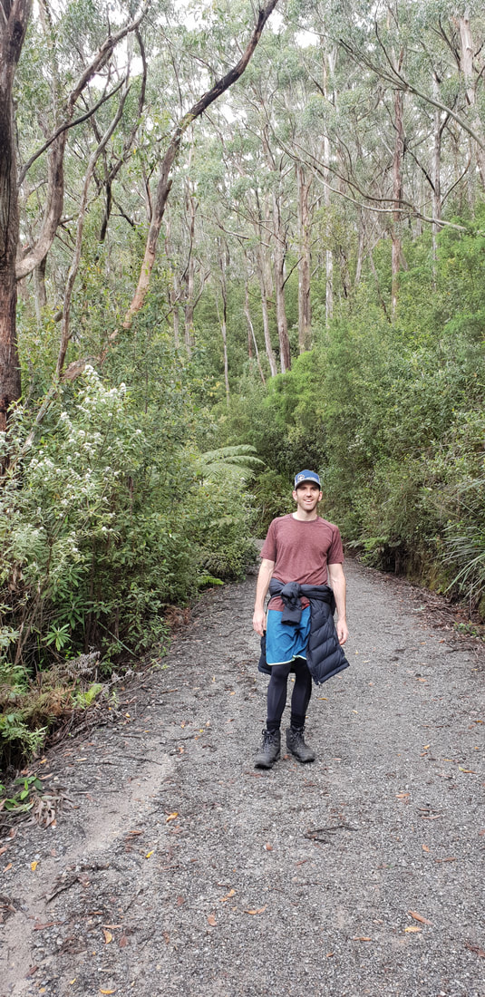
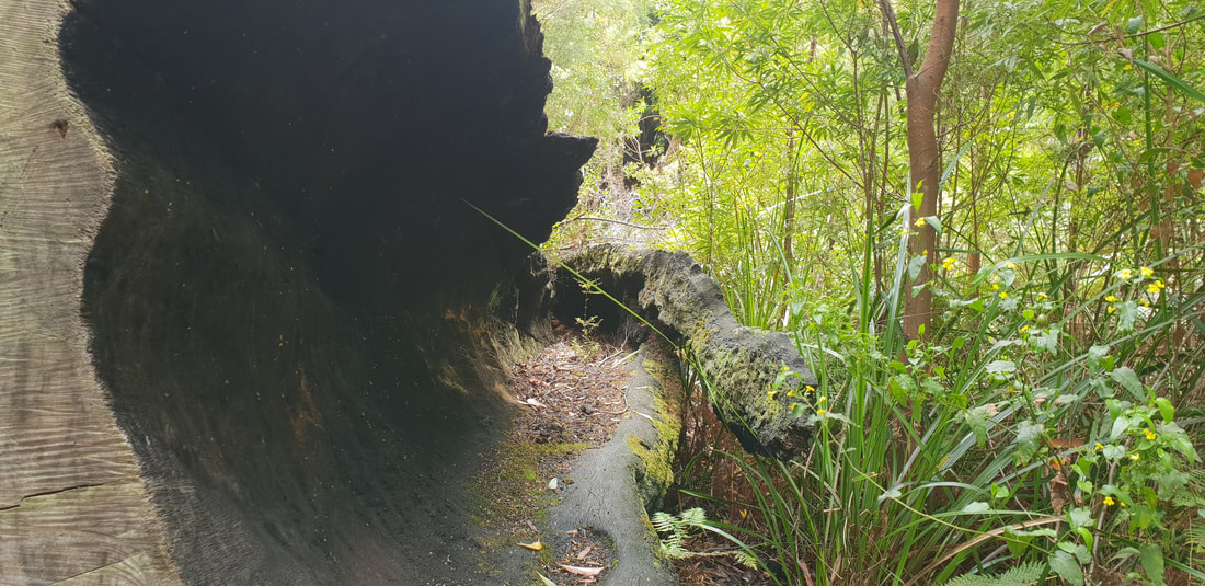
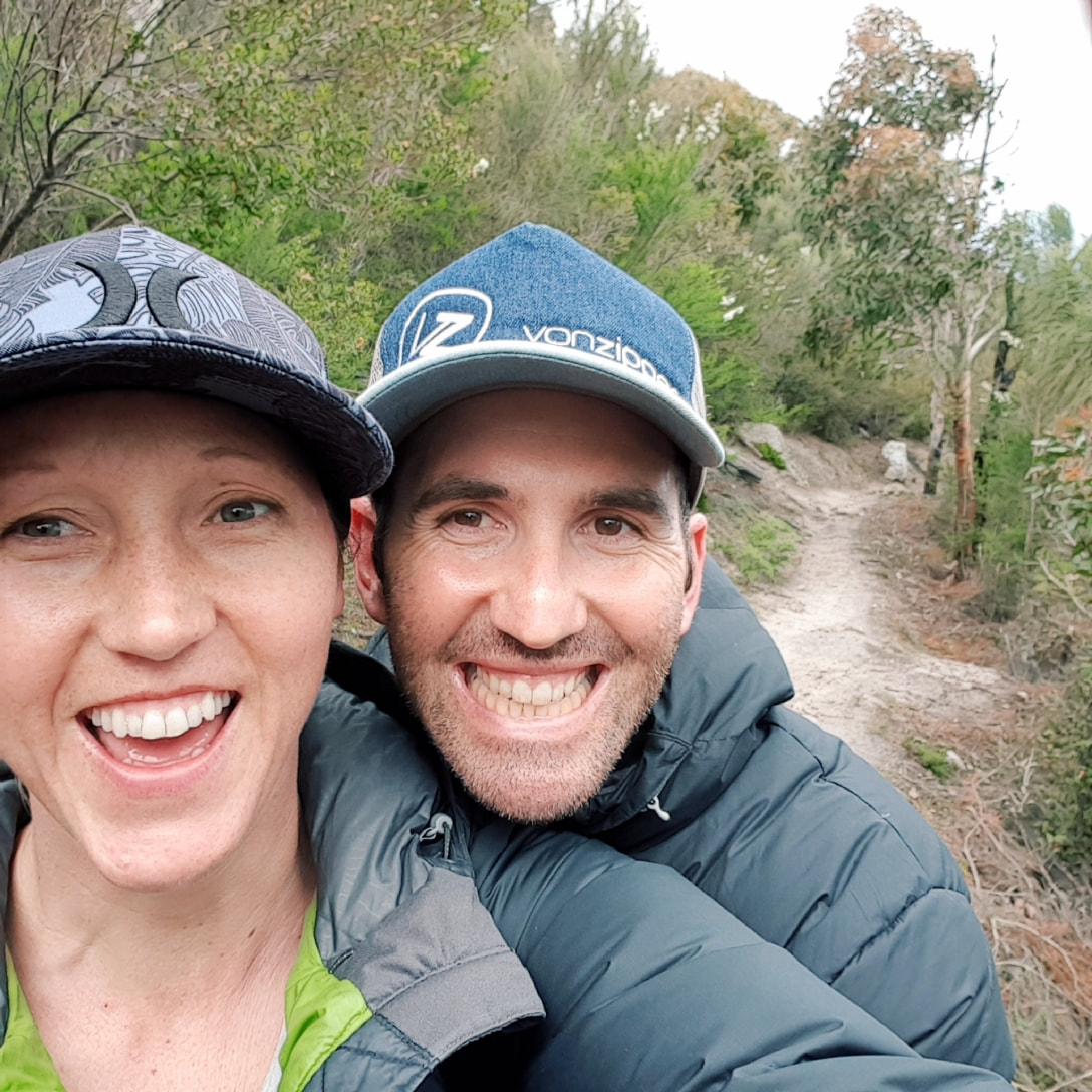
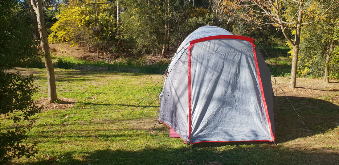
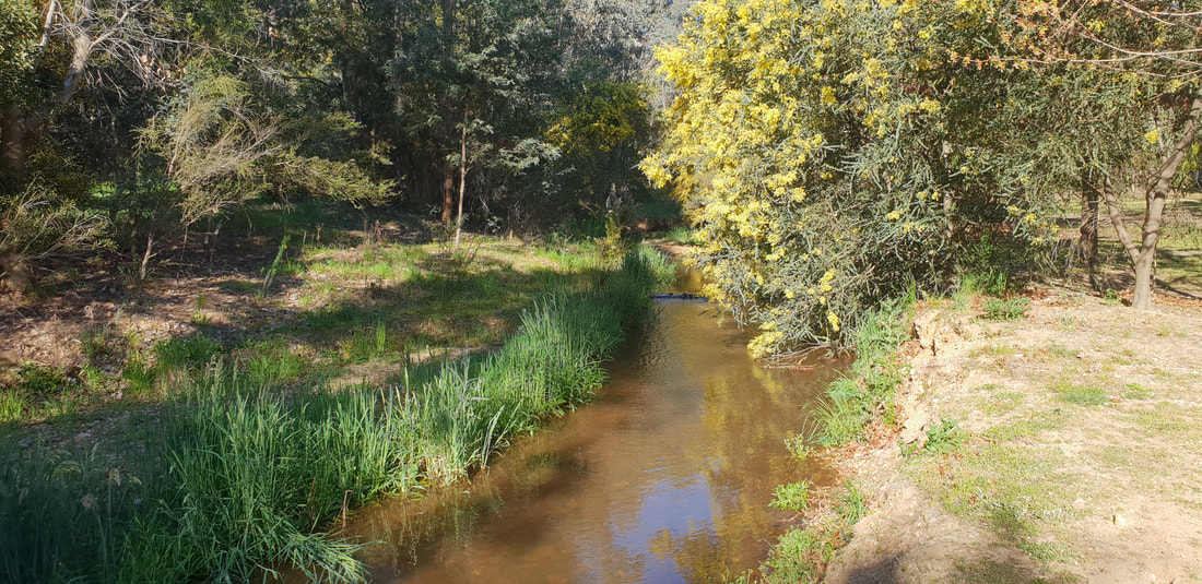
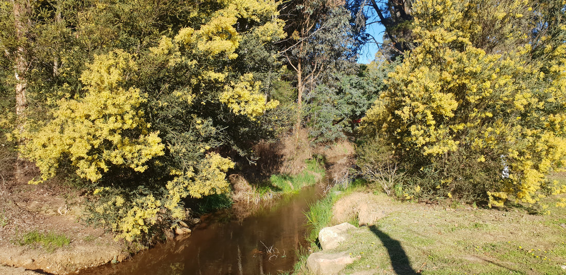
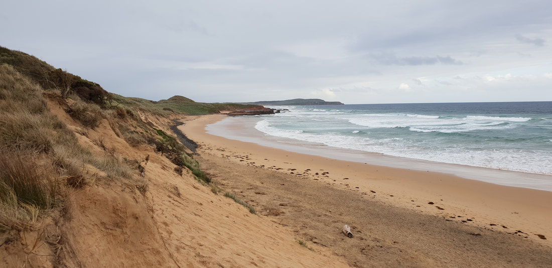
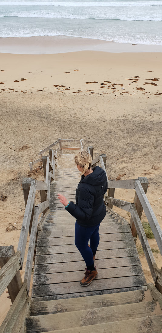
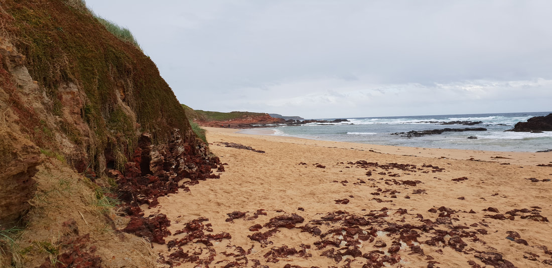
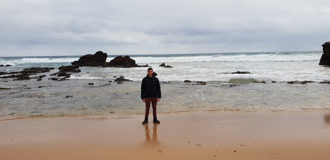
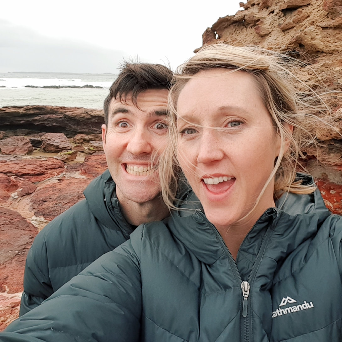
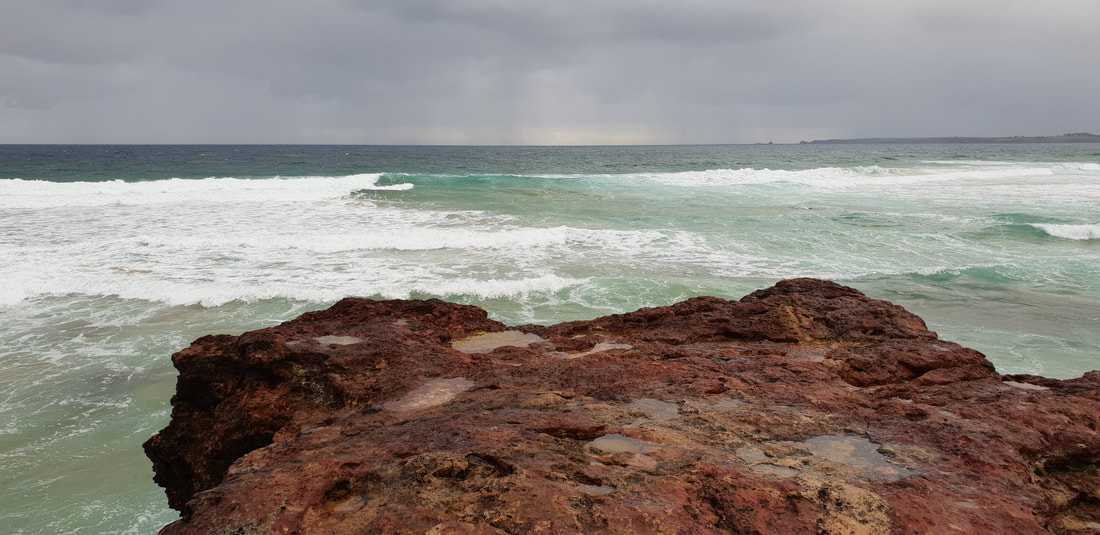
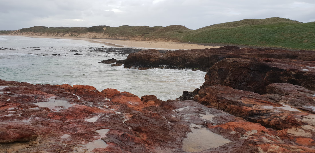
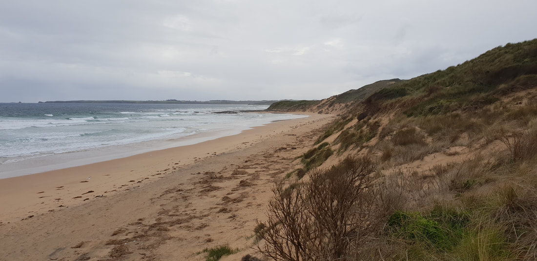
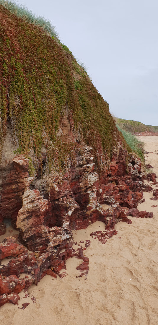
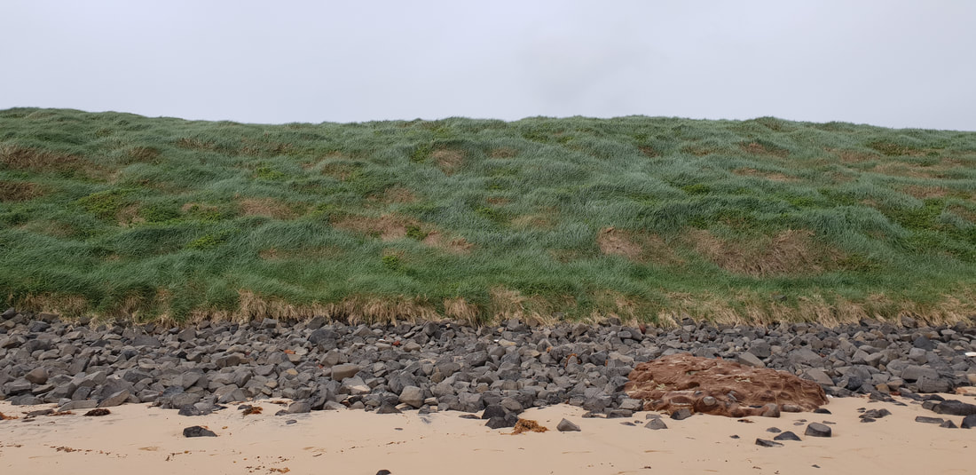
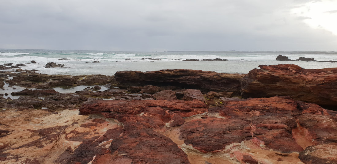
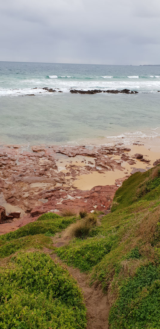
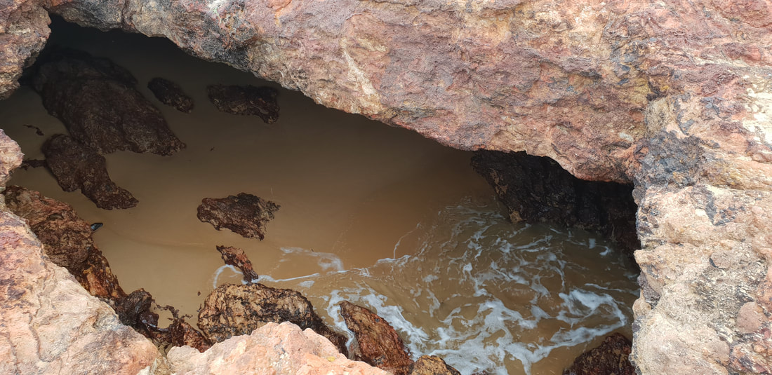
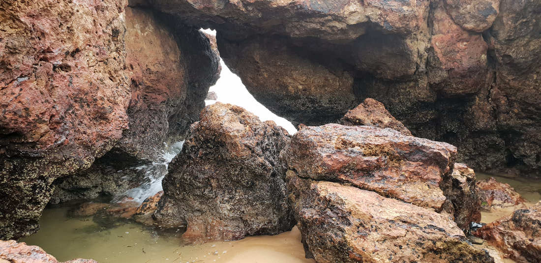
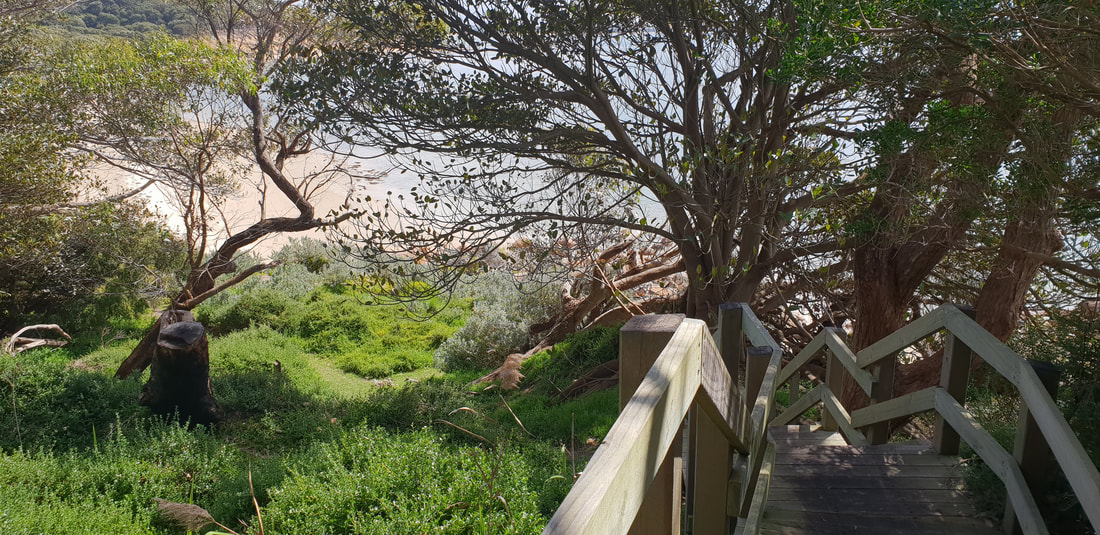
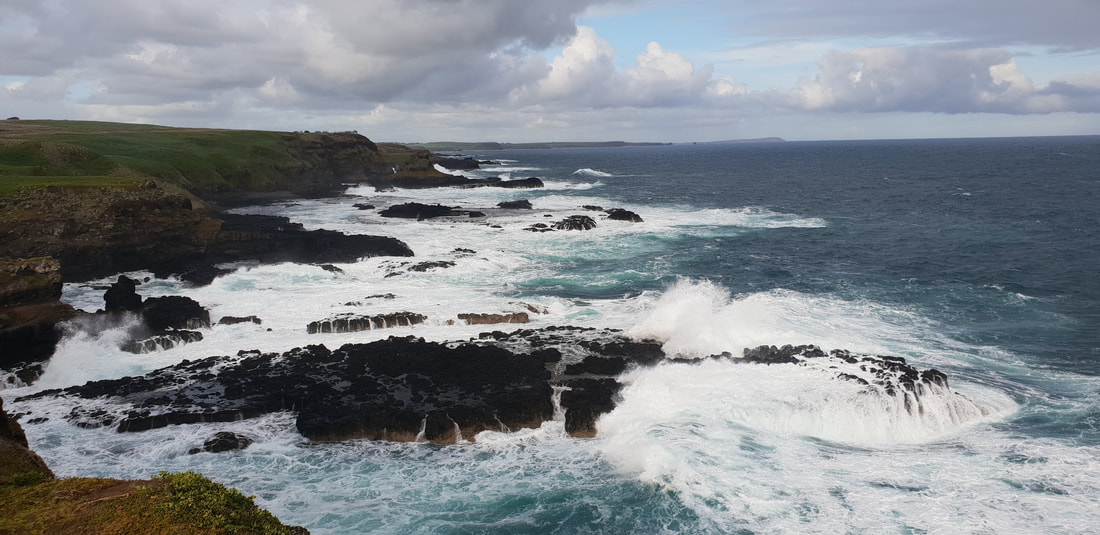
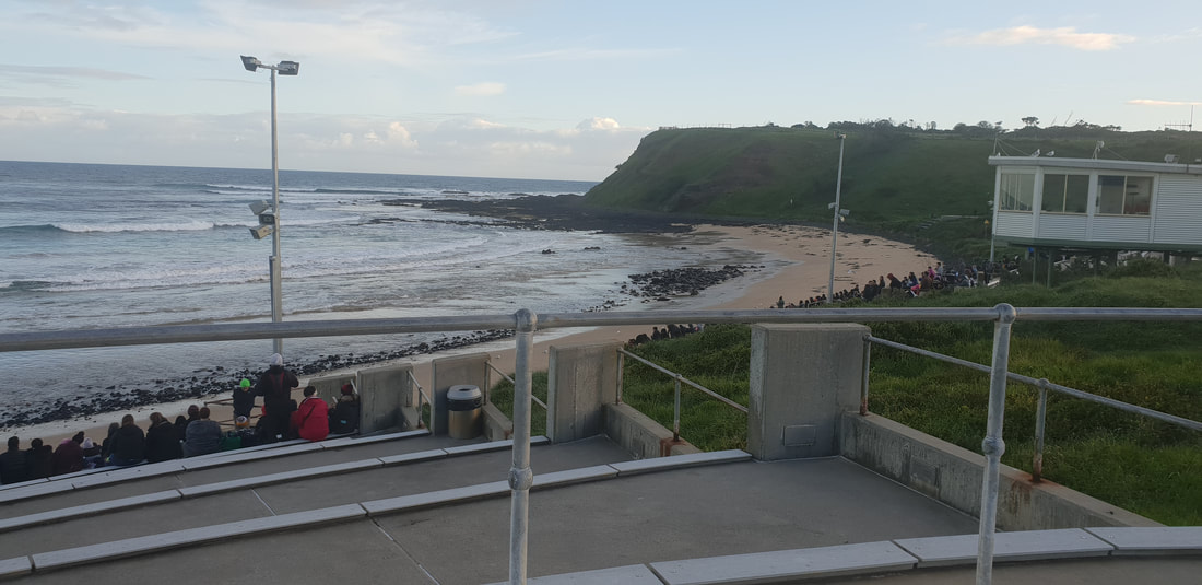
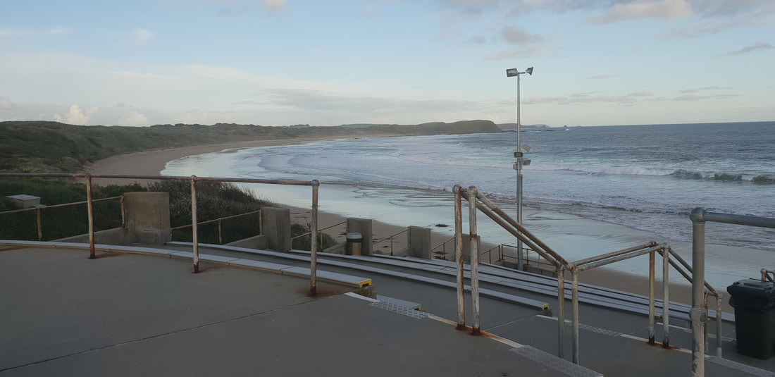
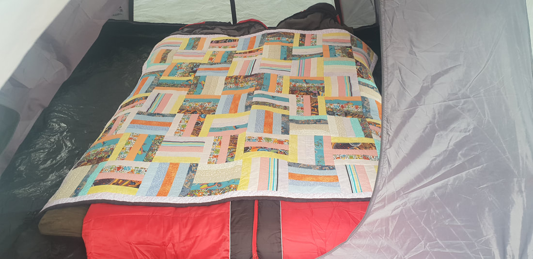
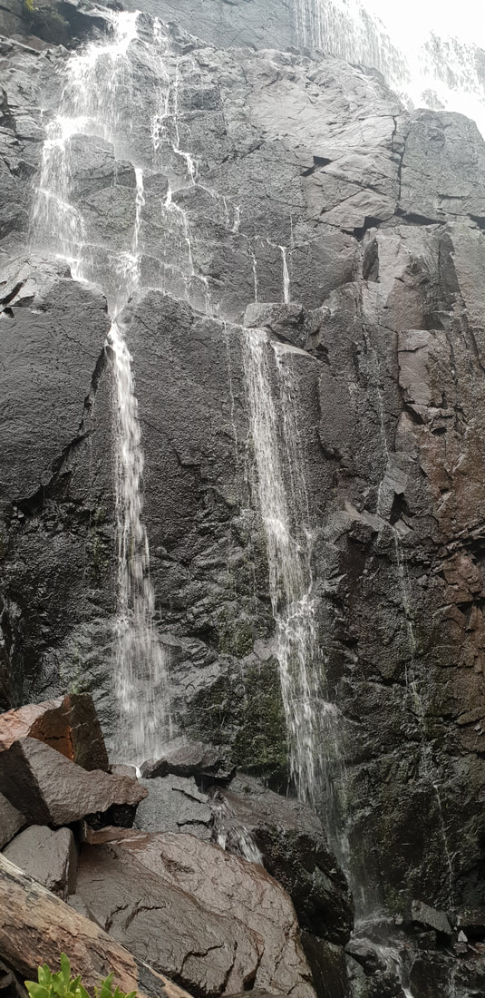
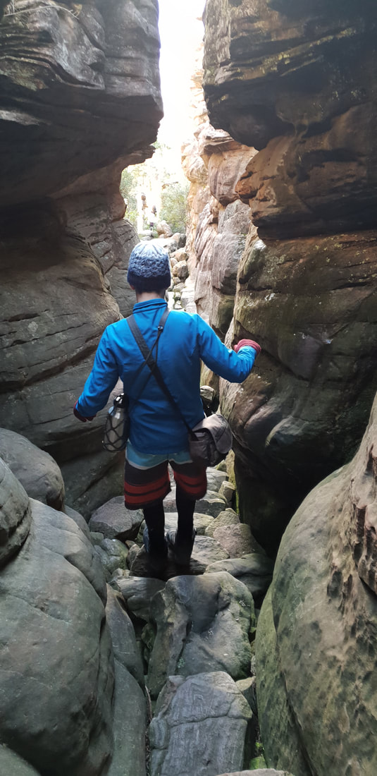
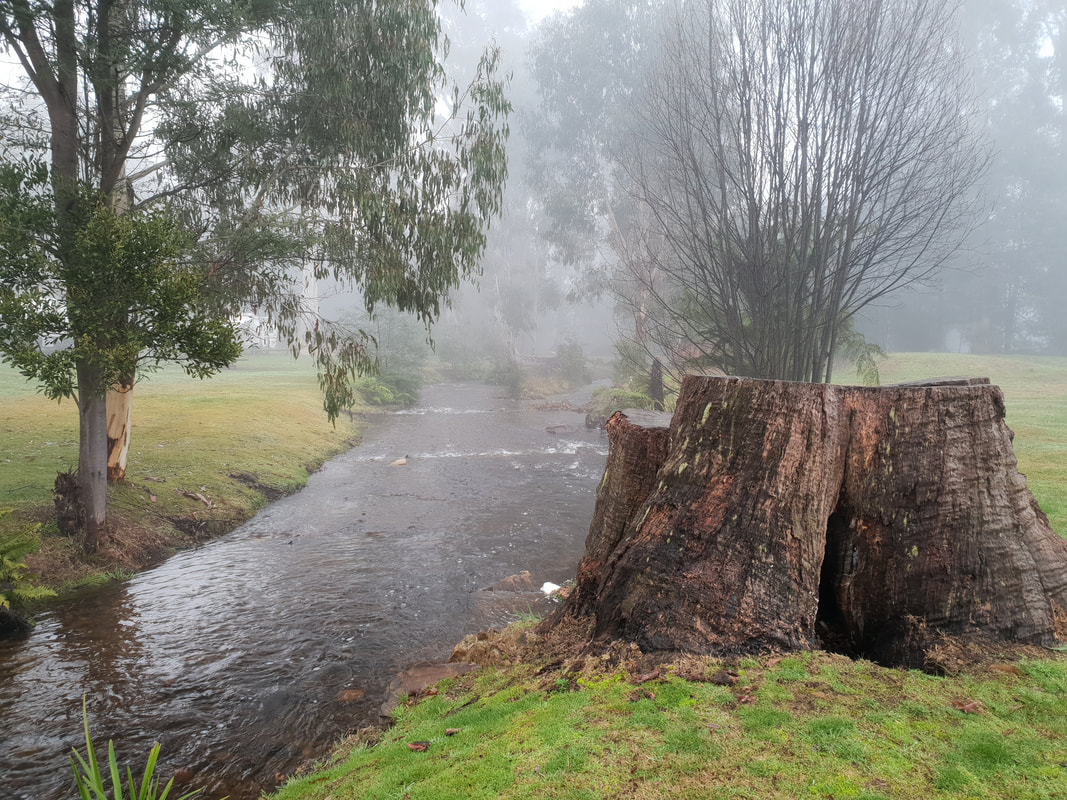
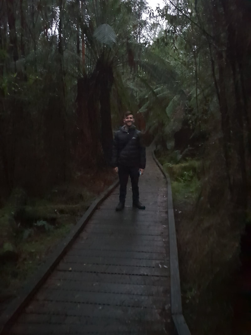
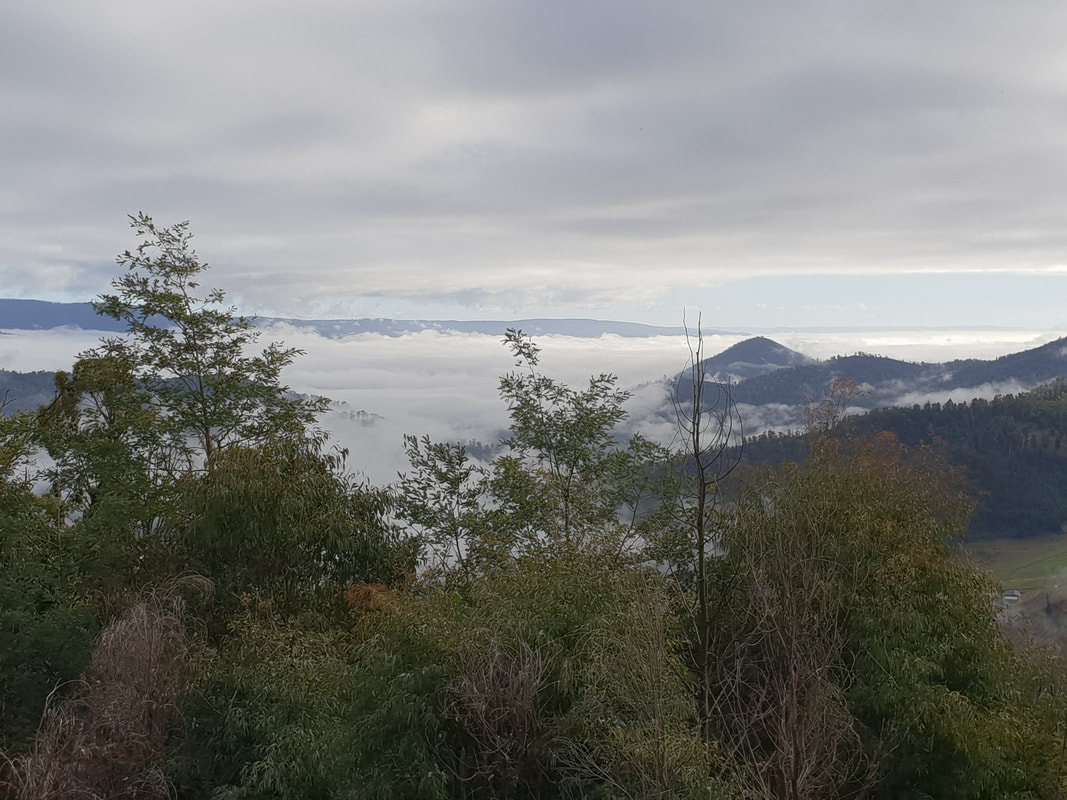
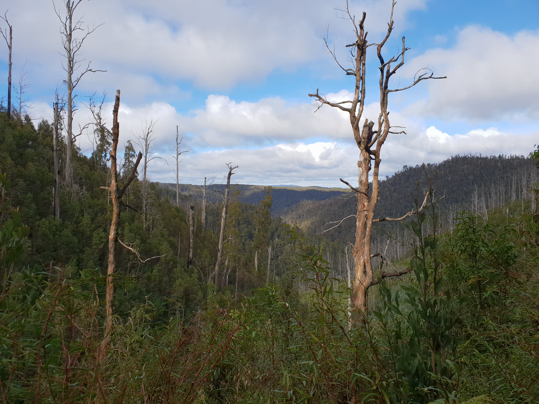
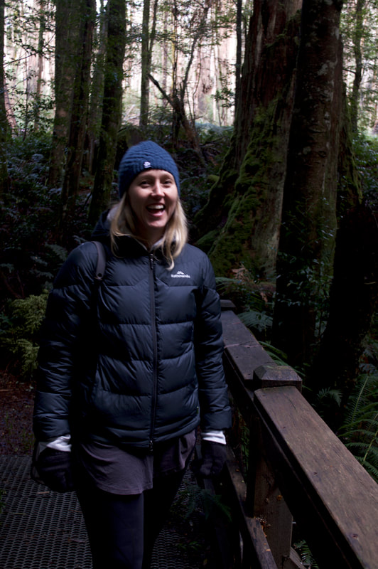
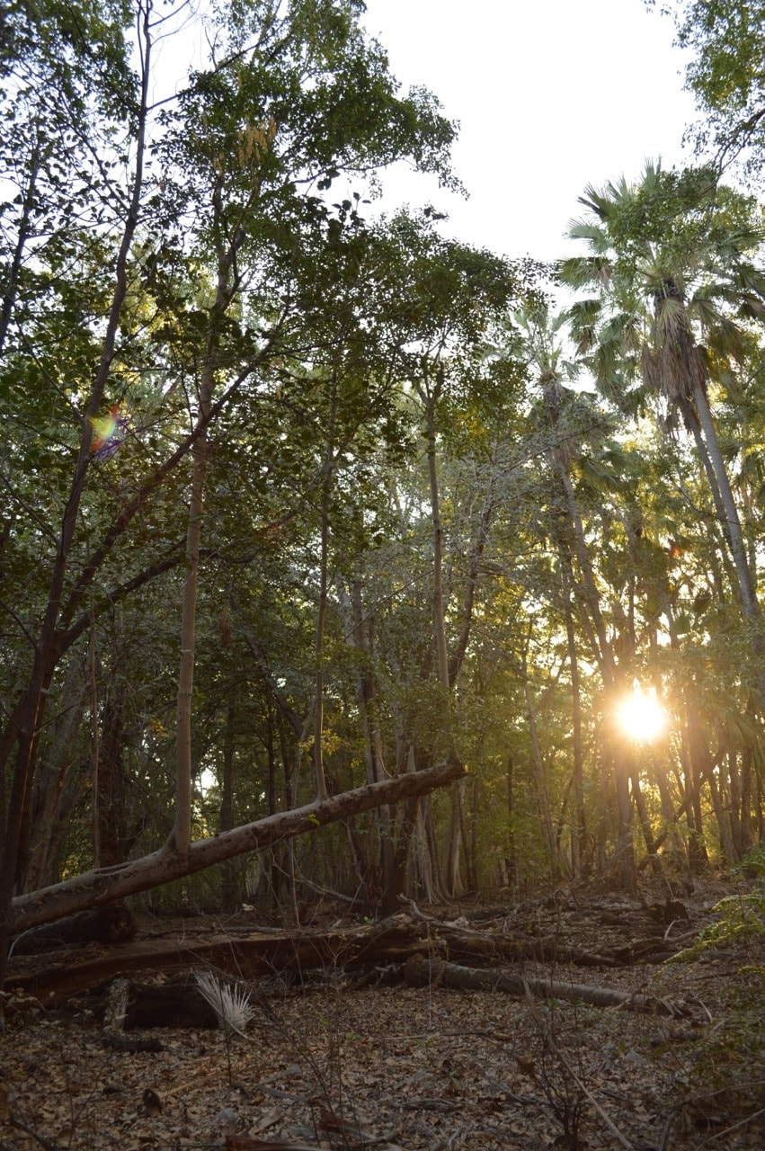
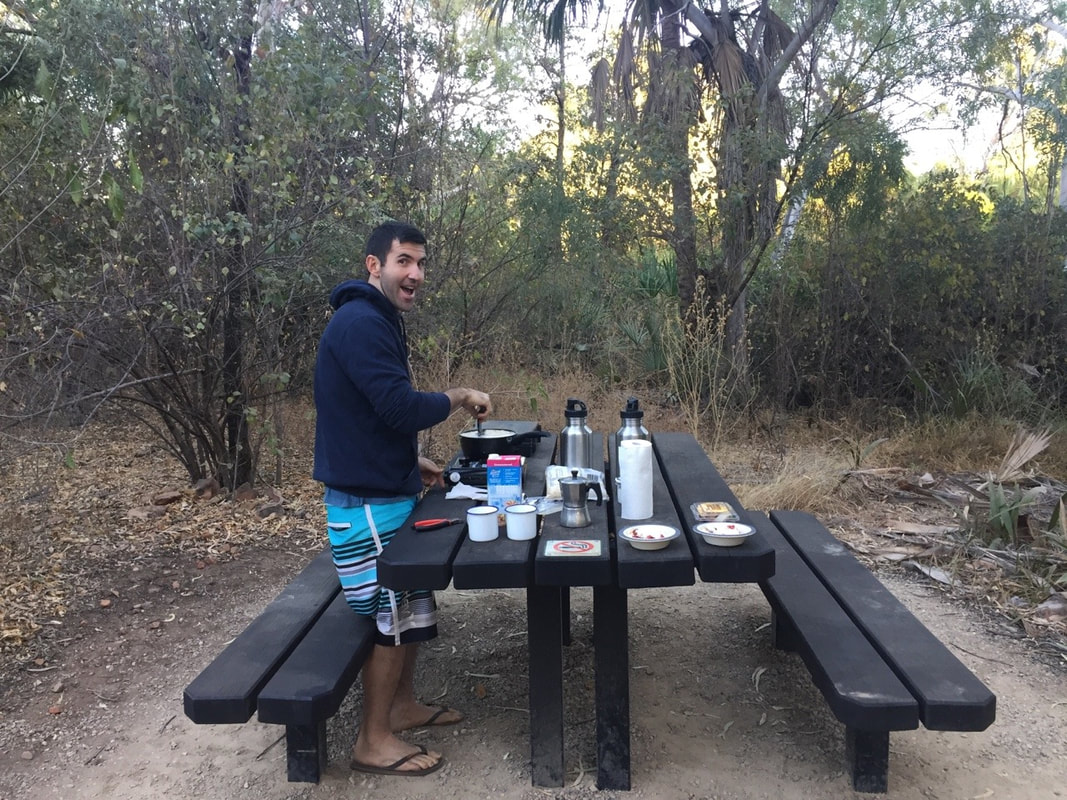
Our amazing tent, 'Rex' protected us from a blistering rain and windswept night. Forrest CavesA short beach stroll lead us to a mass of exploded volcanic red rock that has eroded over time to form sea caves. The caves were inaccessible due to the tide, but the rock formations and colour contrasts were worth battling the wind, rain, oh and not forgetting the hail...
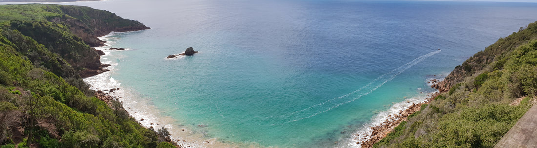
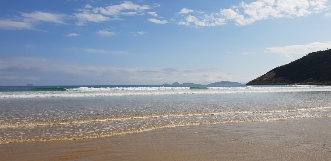
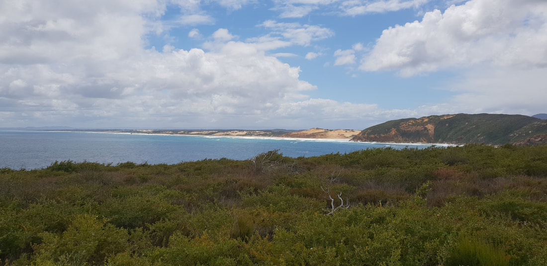
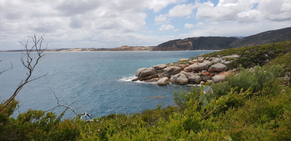
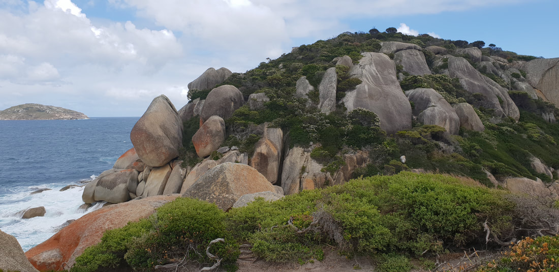
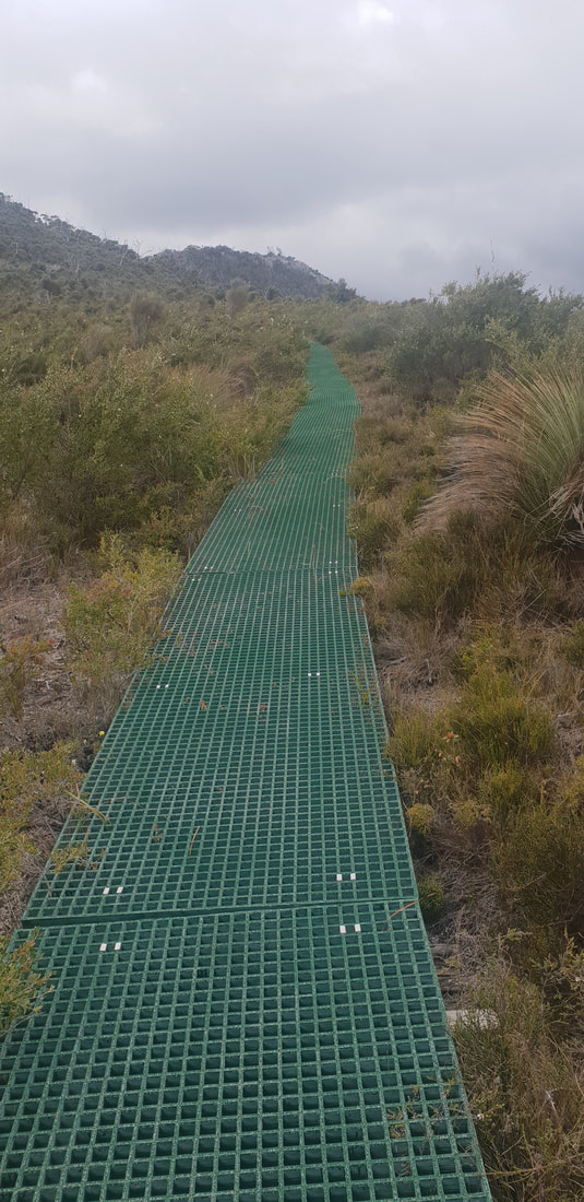
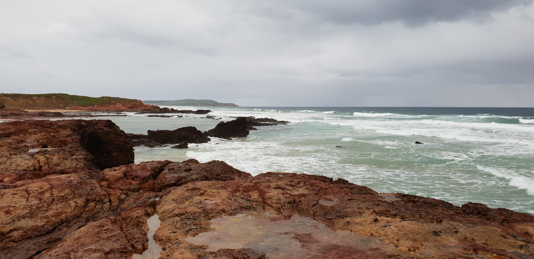
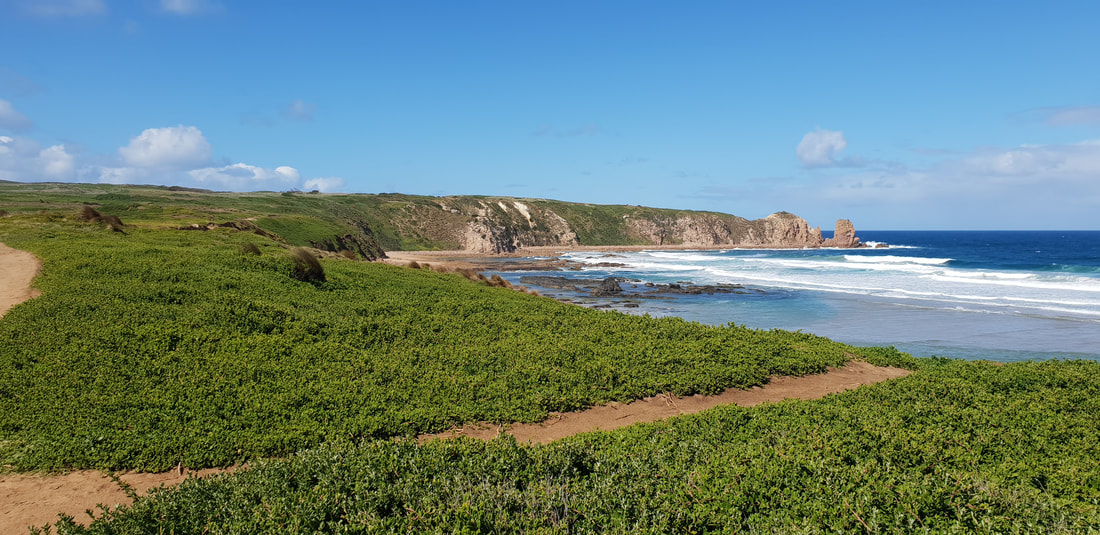
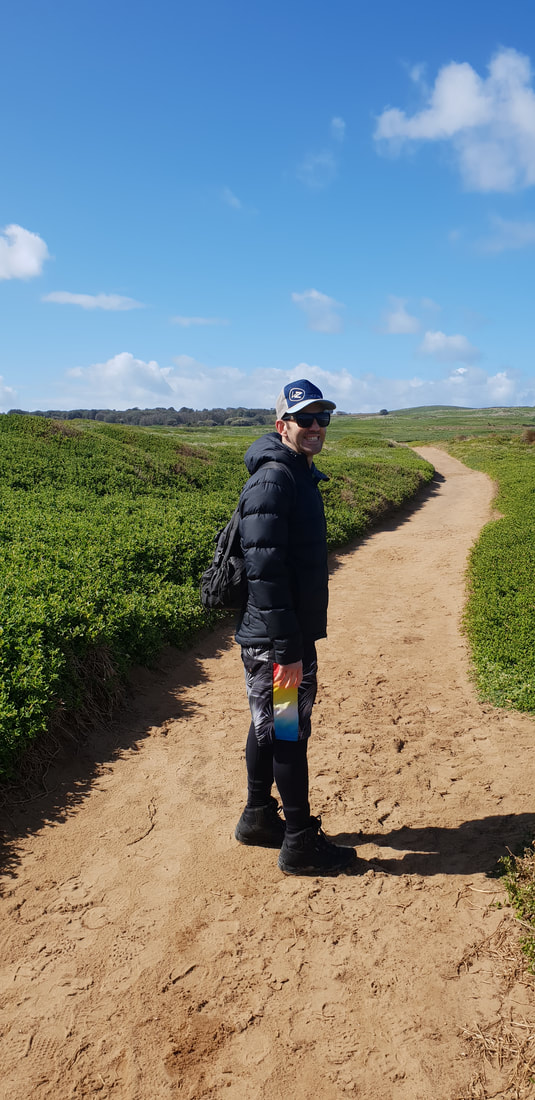
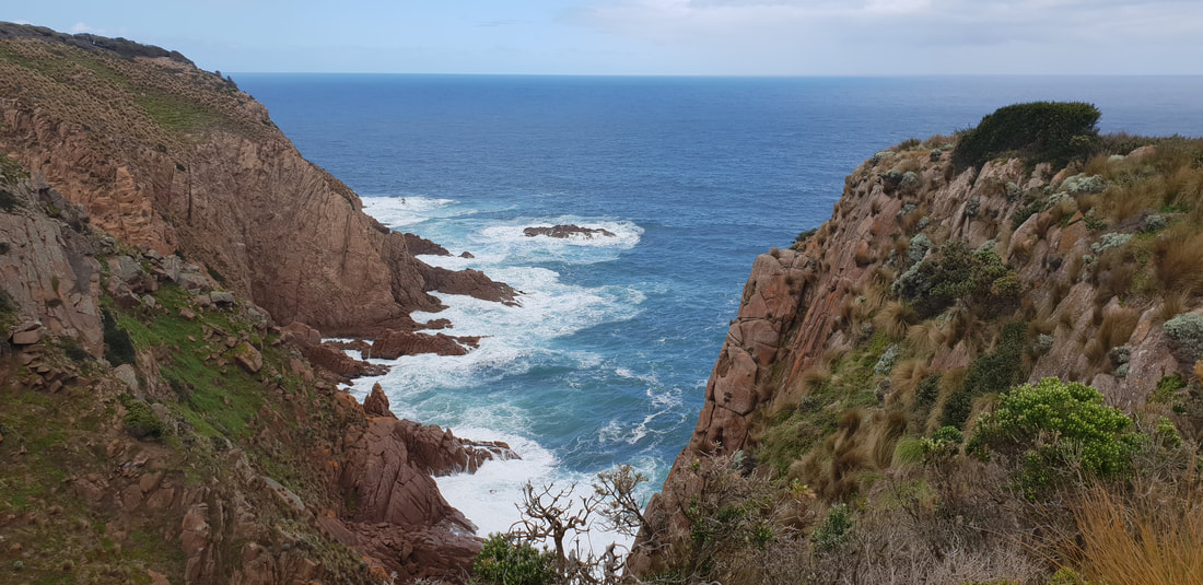
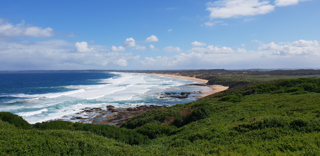
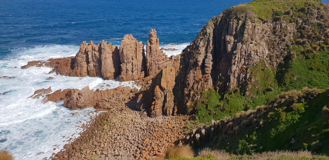
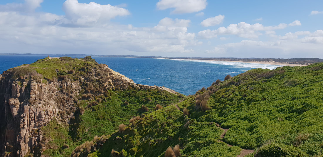
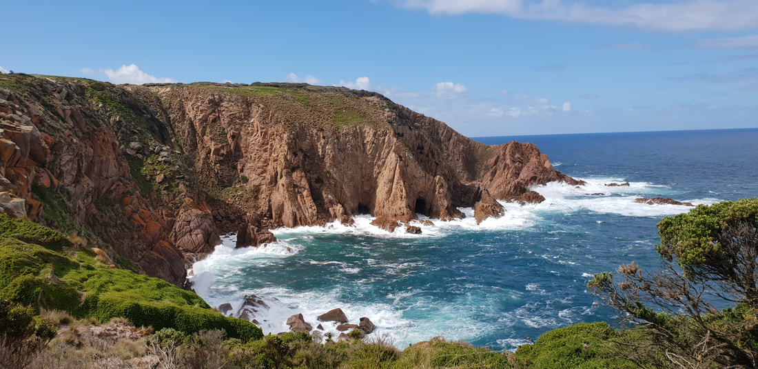
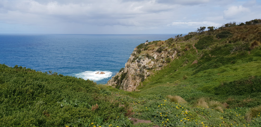
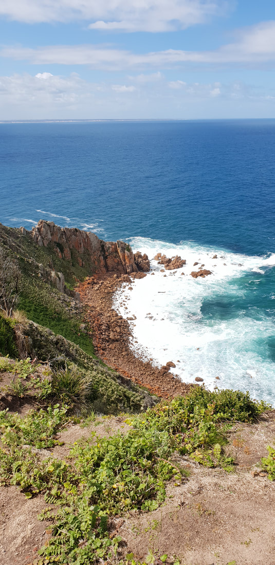
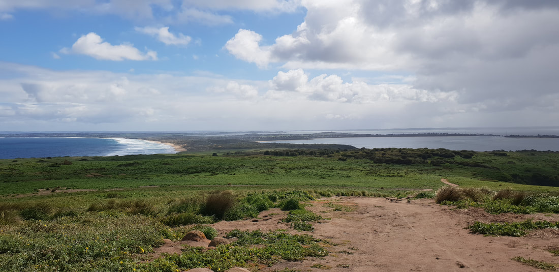
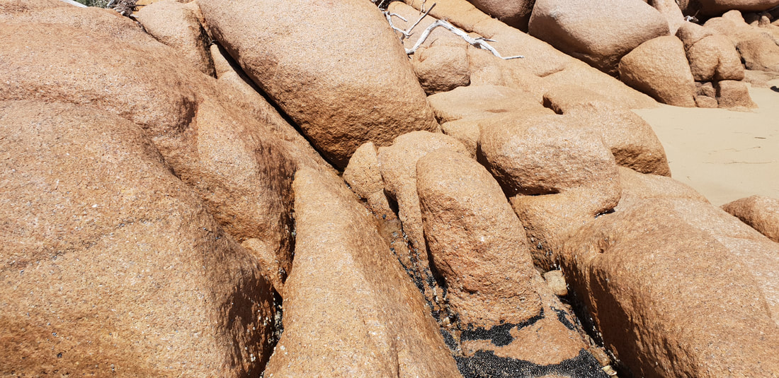
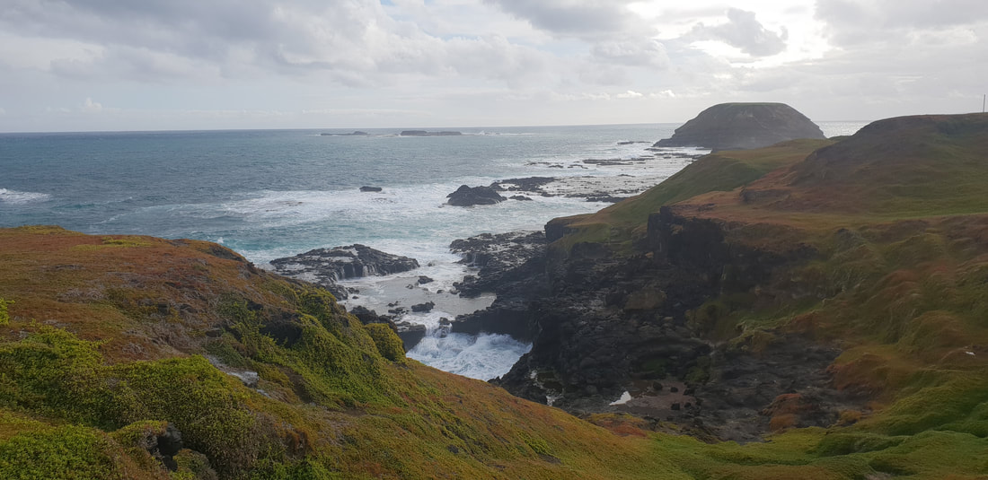
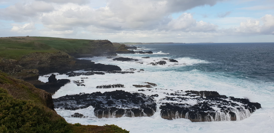
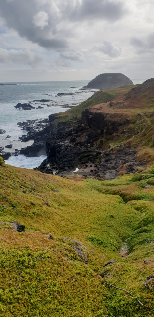
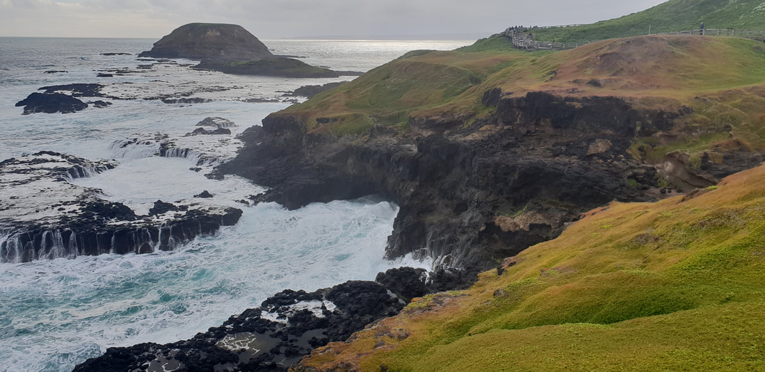
Cape Woolamai WalkThis 8 kilometre walk lead us on an adventure around Cape Woolamai that was referred to looking like a 'Snapper's Head' in a journal by George Bass in 1798 and is the highest point on Phillip Island. The circuit took us to various points of interest along the way including 'the pinnacles' and 'the beacon.' The coastline, folding outwards to Bass Strait is absolutely stunning, with rugged cliff edges blanketed in a dense rich-green ground covering, perfect for the Short-Tailed Shearwater migration birds that inhabit the Island from October to April each year. The walk continued to an old pink granite quarry that ceased operating in 1898. Remnants of mining activity are still visible. Boulders that remain on the beach, which looks across to San Remo contain feather and wedge markings, the method used to remove the rock. When looked upon closely it is easy to see why this unique pink crystallised stone was a desired building material, but the shear enormity of its removable and the subsequent damage to natural surrounds would have resulted in the quarry's short life span of only 7 years.
Pyramid Rock
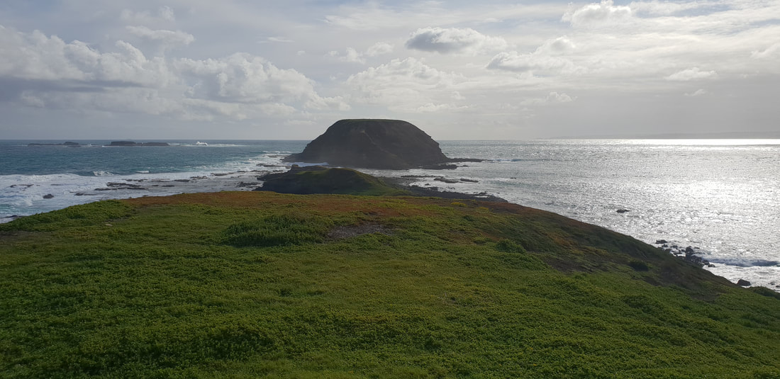
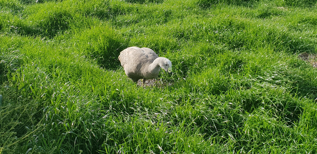
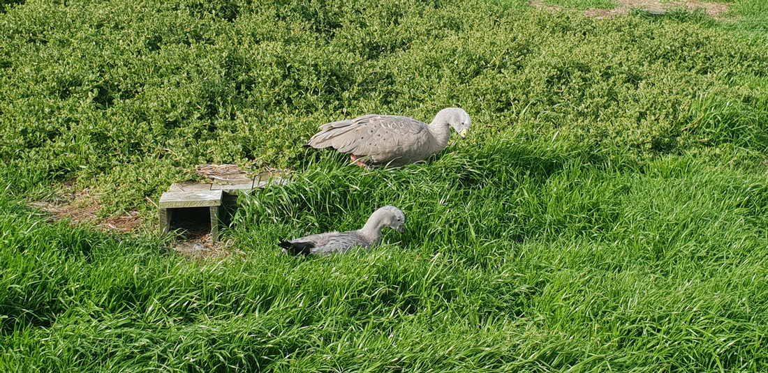
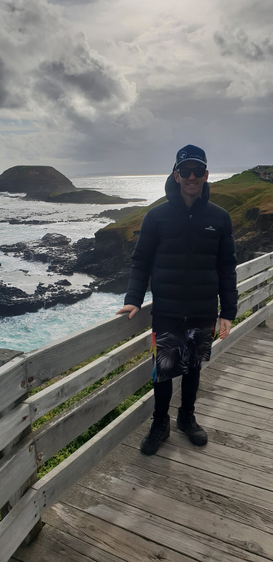
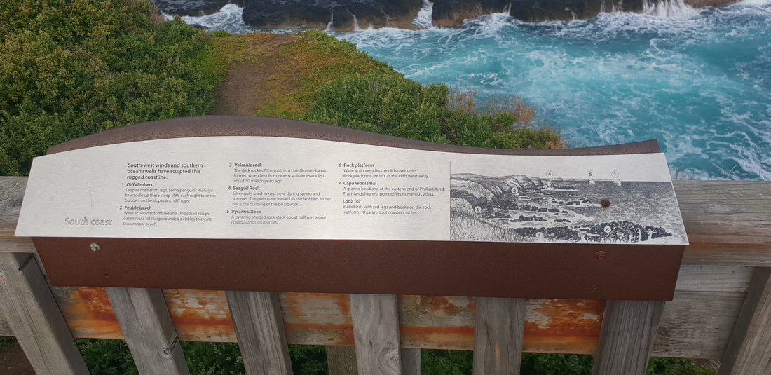
The NobbiesAt the western end of Phillip Island, The Nobbies offers specular views of seal rock and the blowhole. The boardwalk takes you on a journey over the rugged coast where Little Penguins and Cape Barren Goose nest.
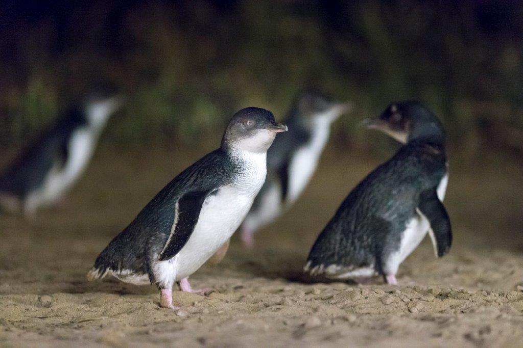
The Little Penguins
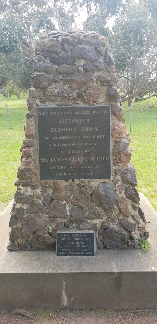
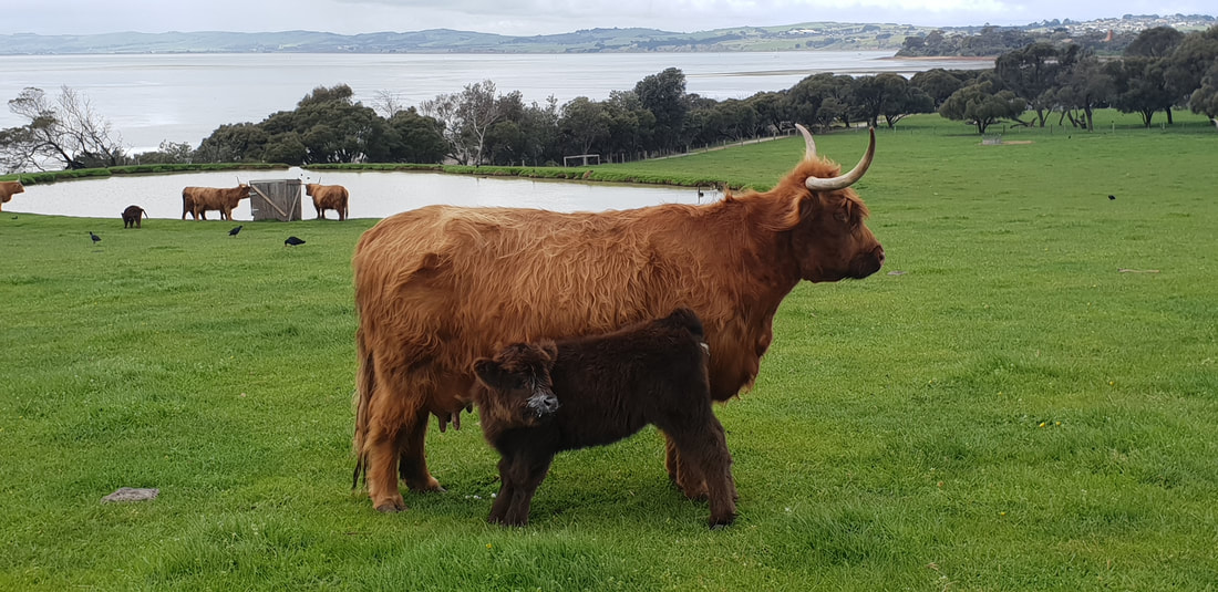
Churchill Island Walk
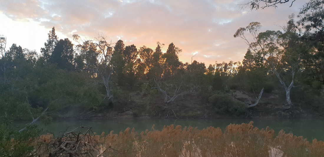
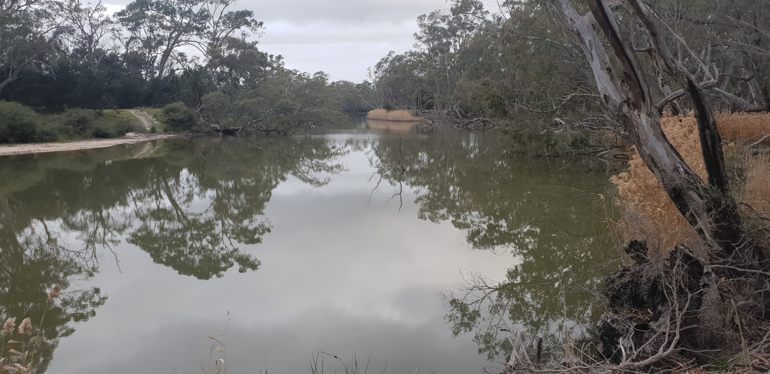
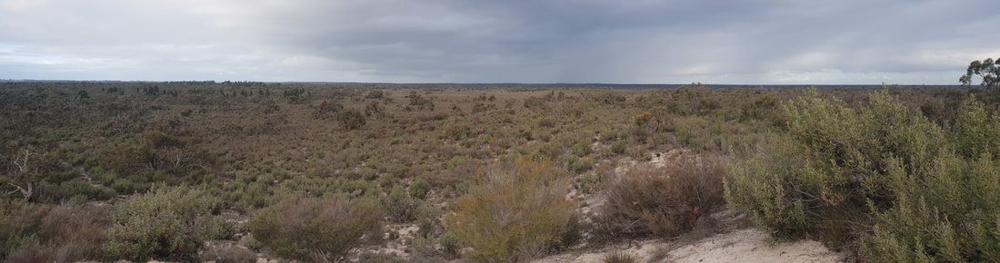
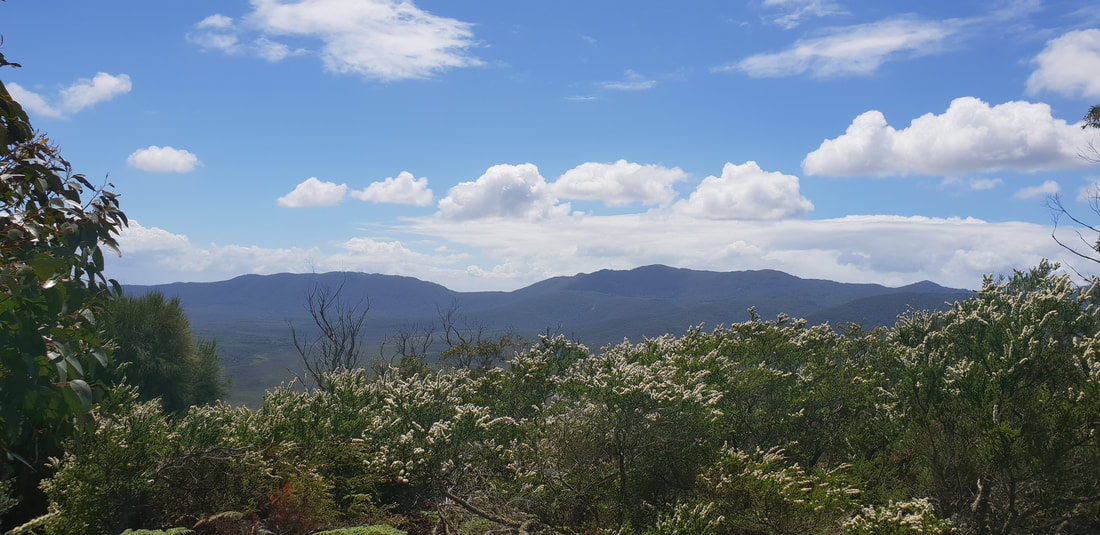
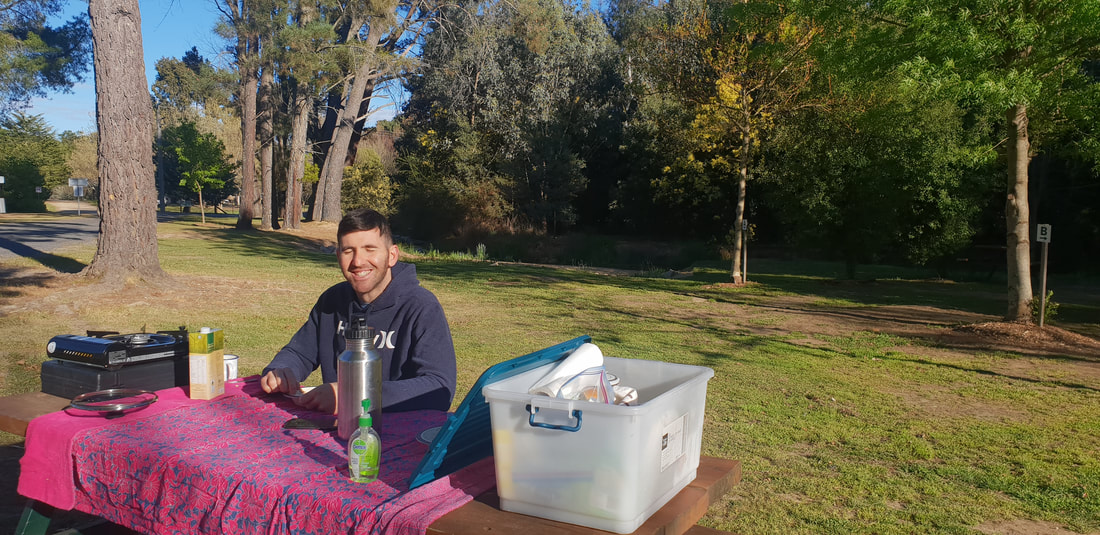
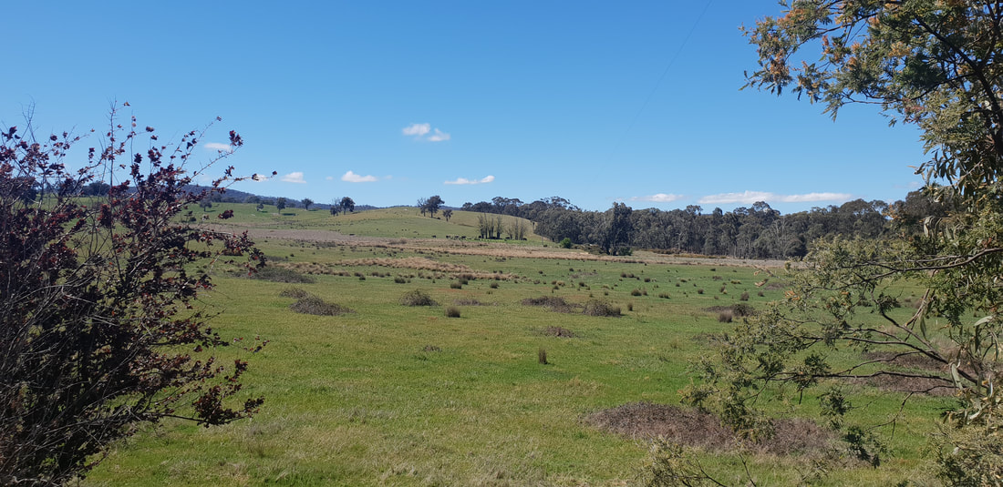
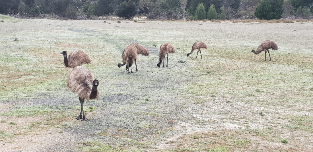
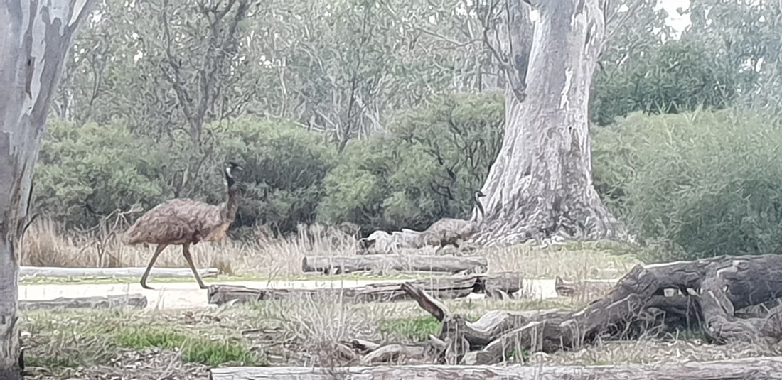
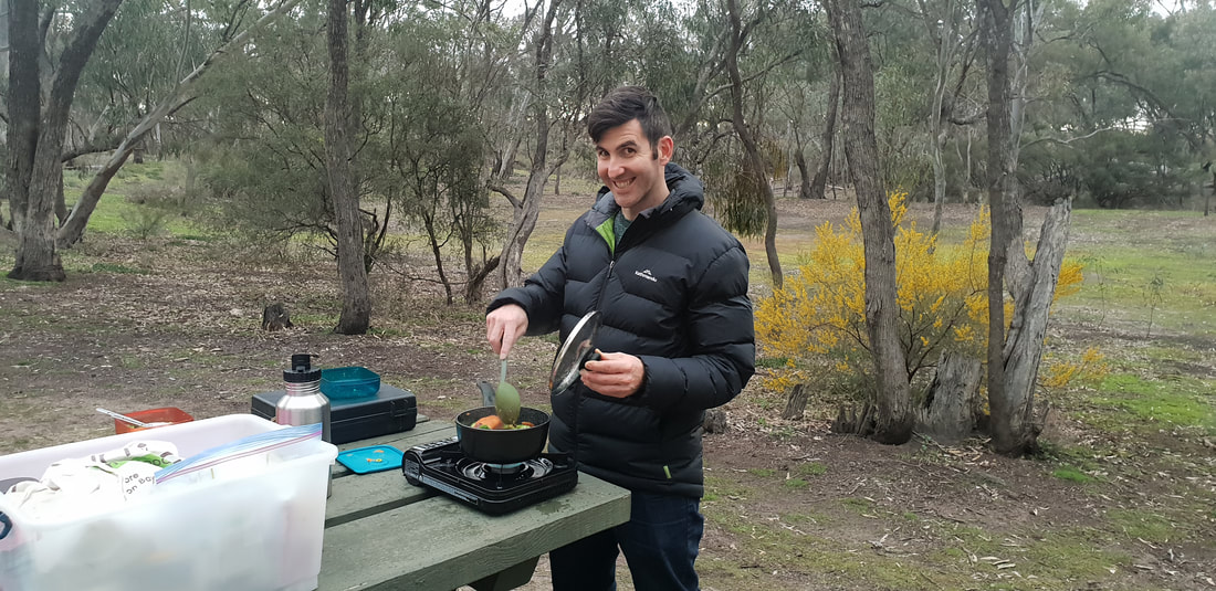
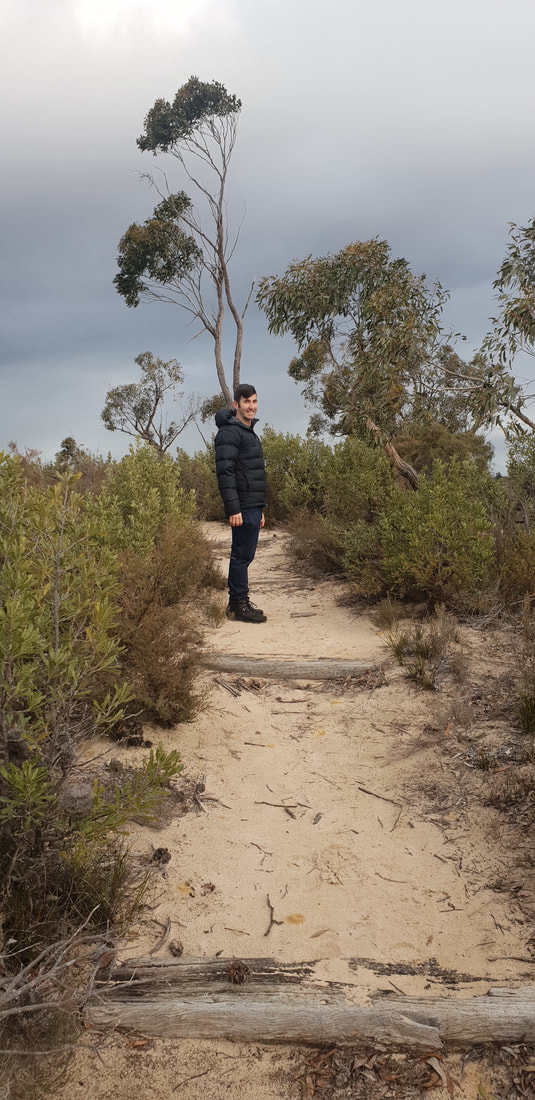
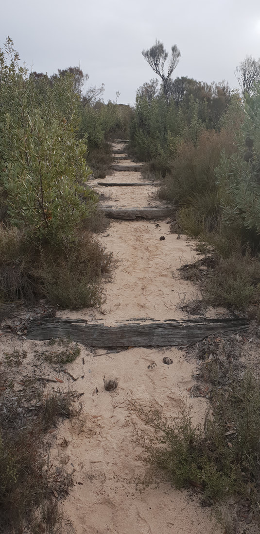
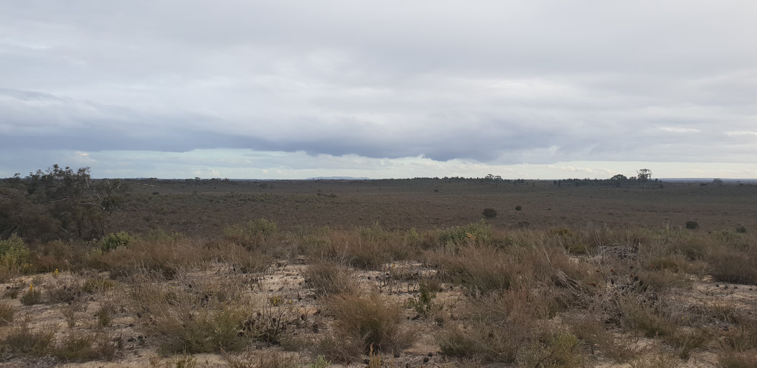
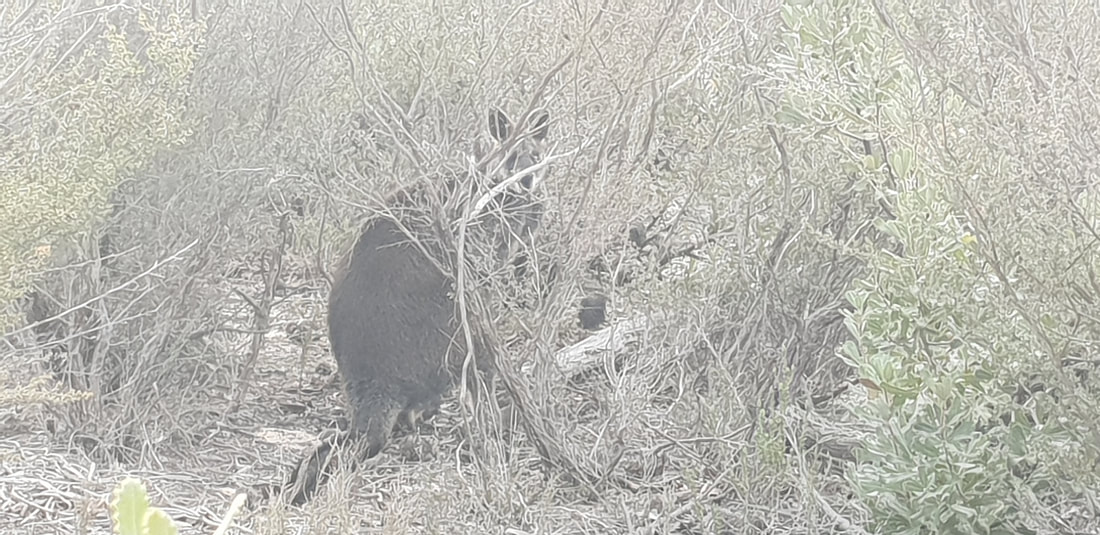
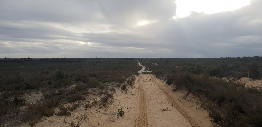
The Little Desert National Park sits on the very west of Victoria just shy of the South Australian Border. The national park spans over 132,647 hectares with a variety of flora and fauna that survive well on the almost infertile deep sandy soil. Pure Mallee, Cypress Pine and Casuarina flourish through the region depending on location and climate. Brush Tailed Possums, Grey Kangaroos, Lizards and over 200 species of birds are the local wildlife residents of this unique landscape. We took a 4-hour drive from Geelong brushing past the Grampians National Park. We pulled in at the Big Koala at Dadswells Bridge to get our “Australian big things” fix. We pitched our tent at Horseshoe Bend, just outside of Dimboola, and then set off for a walk around Pomponderoo Hill, just about 4 kilometres from the campsite. The half hour walk took us through the sandy vegetation of the area in amongst the occasional Grey Kangaroo. The track takes you up to a hill giving you stunning views across the arid landscape, which glowed wonderfully in the afternoon sun. We took a walk down the four-wheel drive track near by, and spotted a mob of emus running across the country, it’s always quite a spectacle so see them on the move. As the sun was setting, we got back to camp to cook a feed and listen to the change of wildlife soundtrack as the day wildlife go to sleep and the nightlife of the wild rises. The highest definition cinema comes to life in the clear night sky with countless stars, and a glowing moon that leaves you wondering about other life out there. We went off to sleep being surrounded by Grey Kangaroos and Possums doing their work through the night. We woke with the sun and enjoyed breakfast in the nature, after packing our camp; we went back to the Grampians National Park to look for some walking tracks. 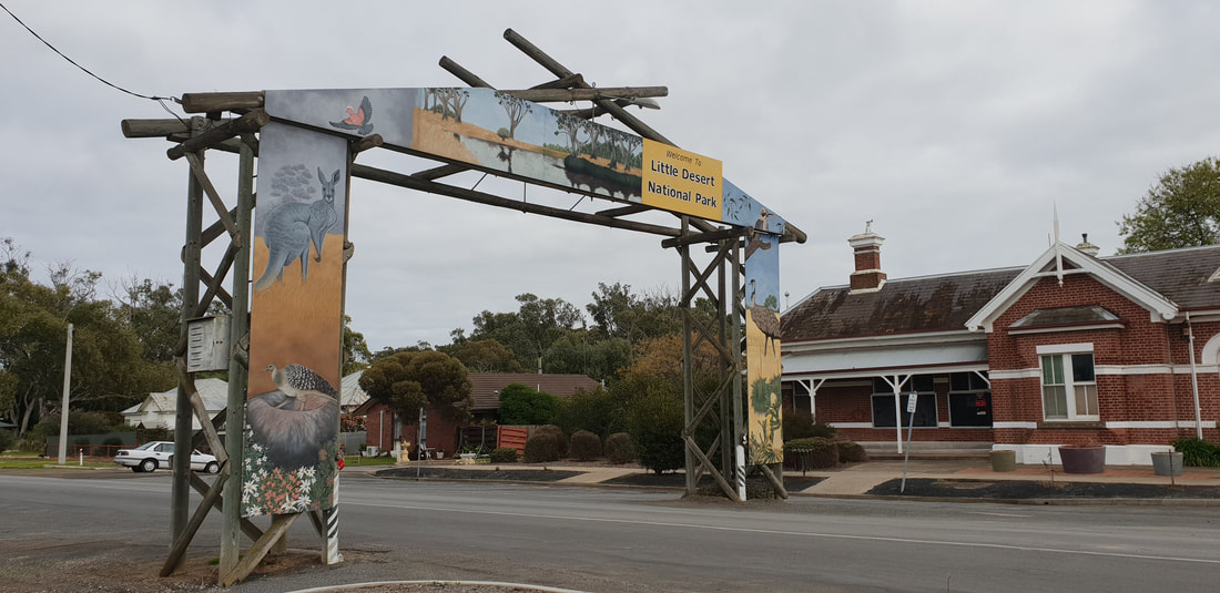
Hollow Mountain Walk at The Grampians
We took another walk along the Gulgurn Manja track, which means ‘hands of the young people’, this is a natural rock shelter with paintings of bars, emu tracks and hand prints that were stories from the Jardwadjali people.
We had an awesome trip out to Little Desert, it’s the perfect place to go if you are trying to get as far away from the city as you possibly can without hearing another human soul. The peace and tranquillity was something that just stuck with us when we were there, being amongst the nature here felt like your batteries were constantly recharged. No drainage out here, just living.
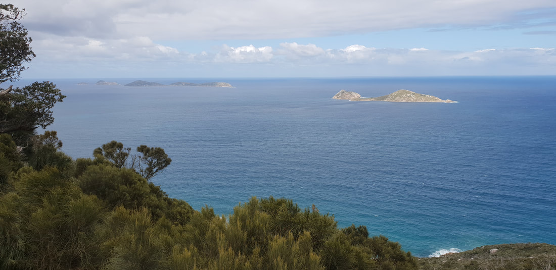
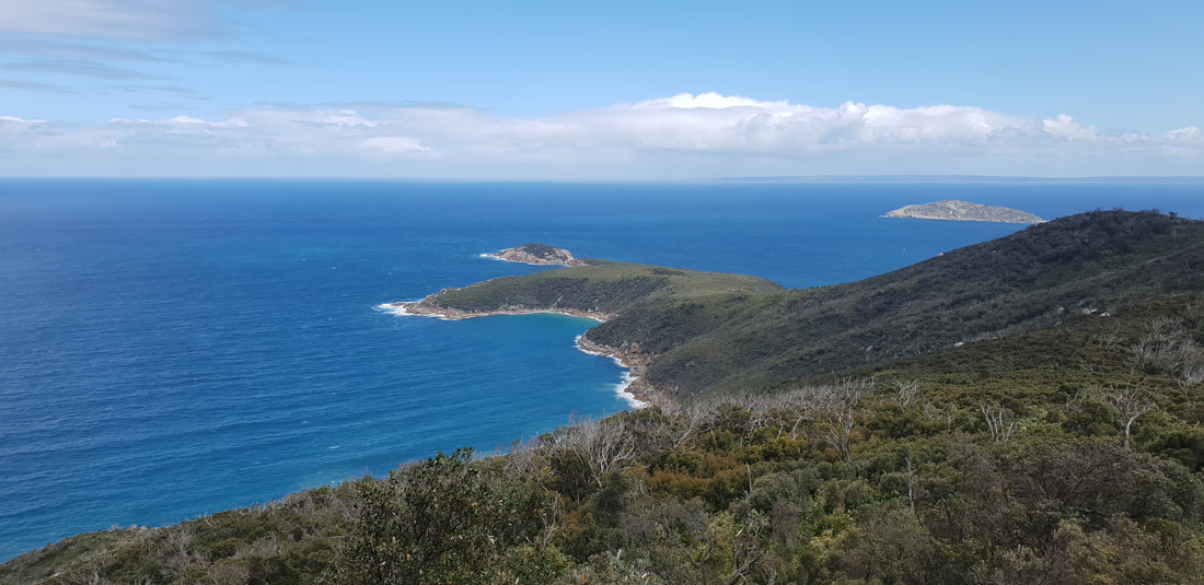
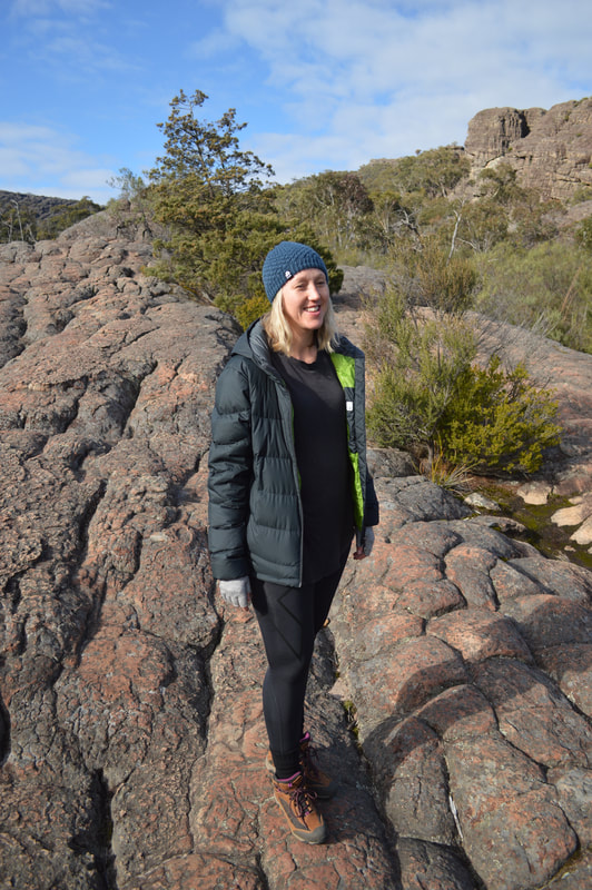
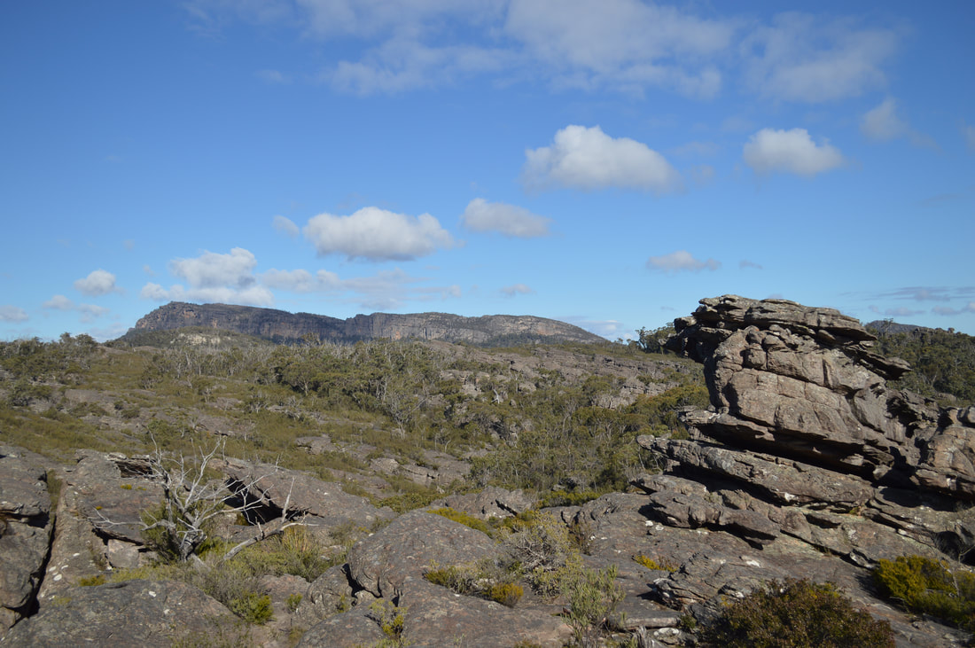
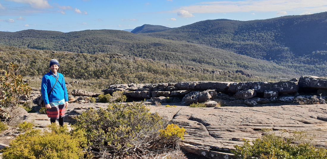
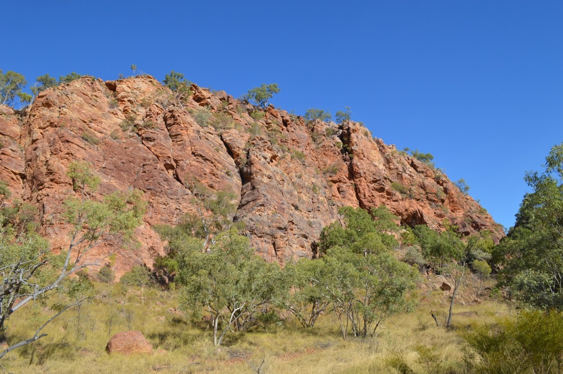
The Grampians located in Victoria's Western Plains are a series of mountain ranges made of sandstone and showcase an impressive landscape with abundant wildlife. We stayed at an eco-mindful camp ground called Grampians Paradise, and the owner mentioned the park had been operating within the same family for over one hundred years. We woke to hear kangaroos or possibly wallabies nibbling on the grass outside of our tent and we're fortunate to be the only campers on this particular weekend. The Grampians were named by NSW Surveyor-General Sir Thomas Mitchell in 1836 after a mountain in his homeland Scotland, but the indigenous who have occupied this land for over 20,000 years call it, Gariwerd. The Grampians have been utilised in many industries including, timber, gold mining, a sandstone quarry and of course now predominately tourism; the area is incredible, with many walking tracks and breathtaking scenery.
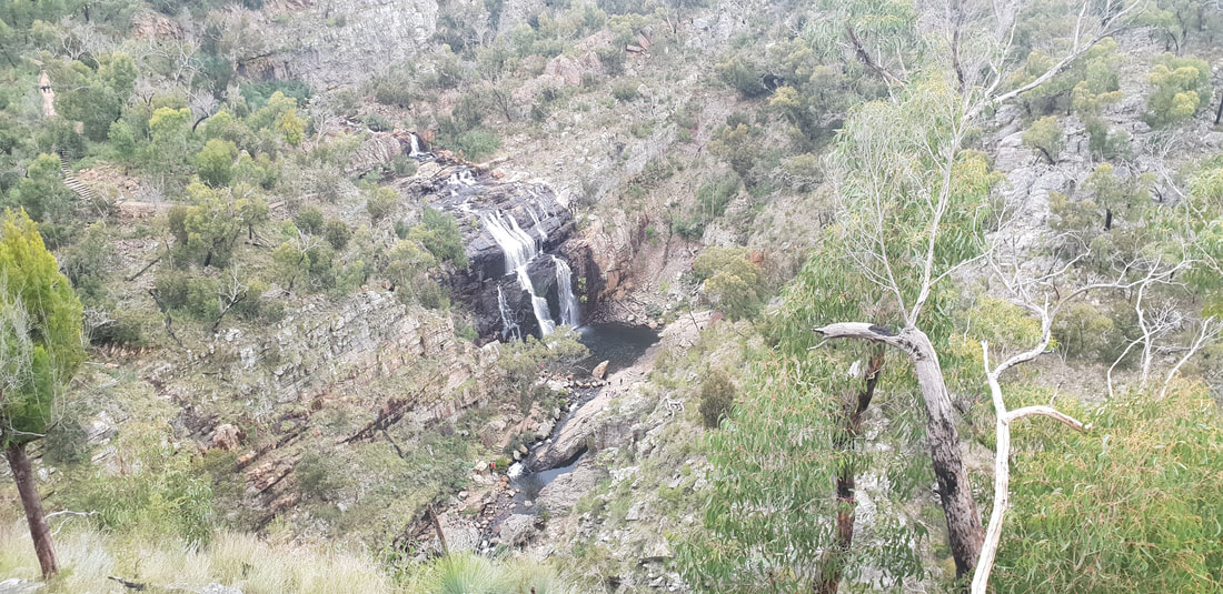
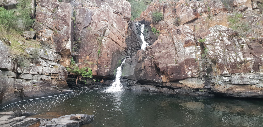
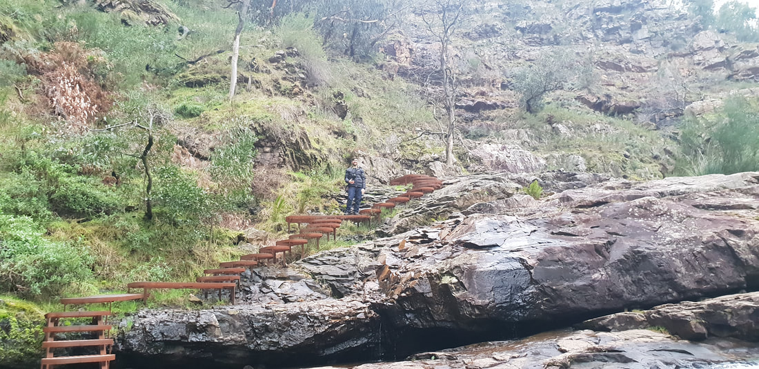
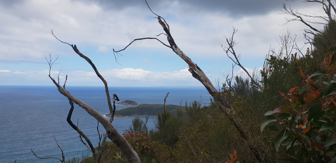
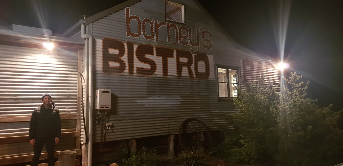
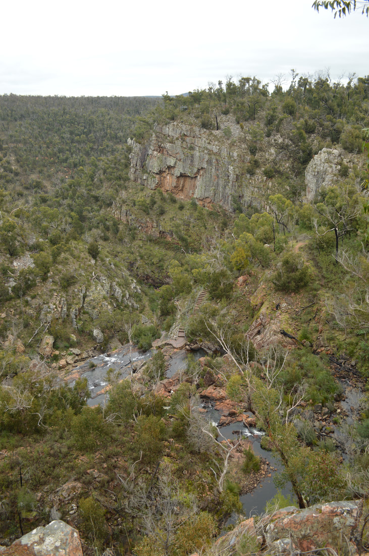
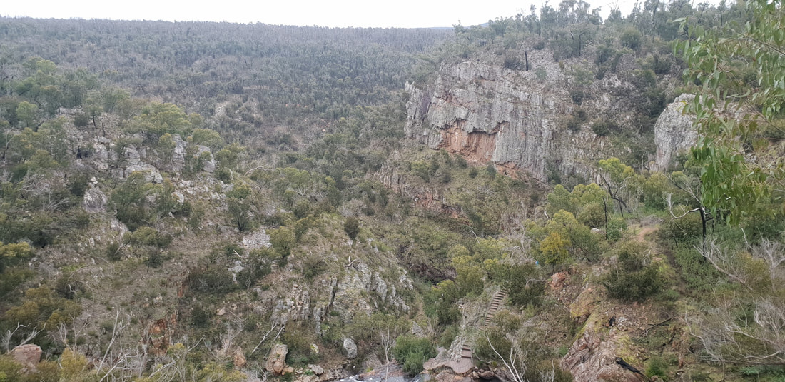
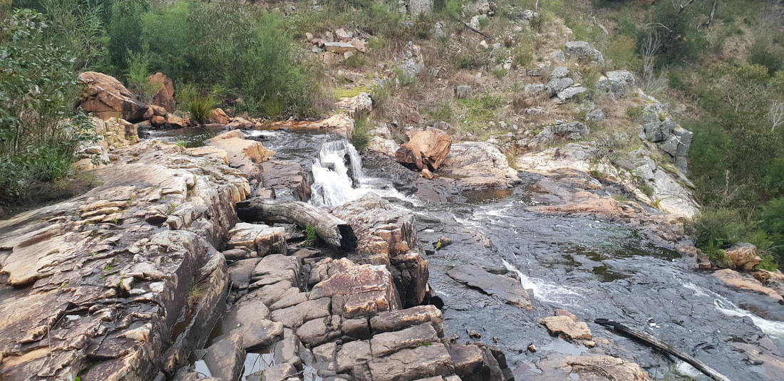
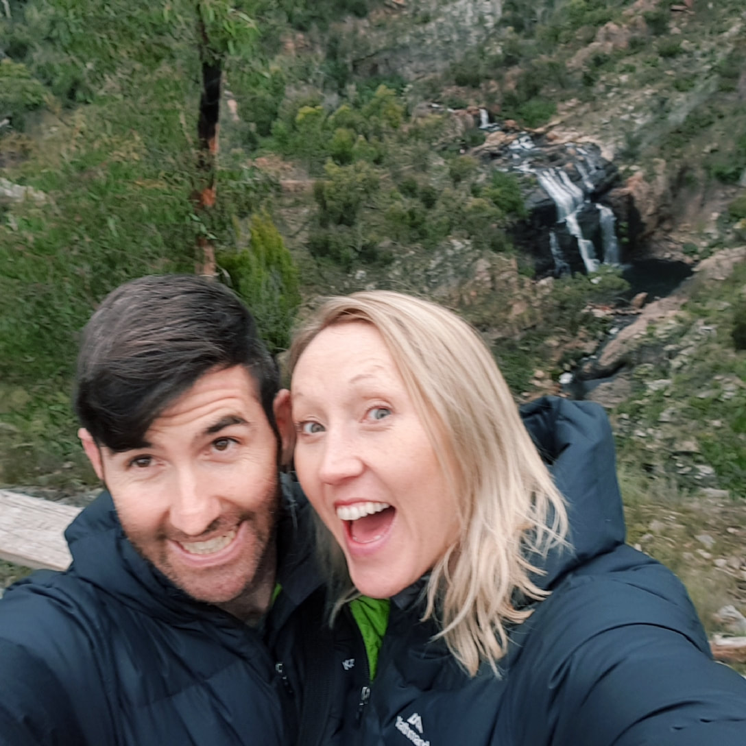
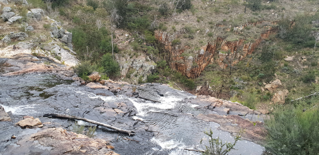
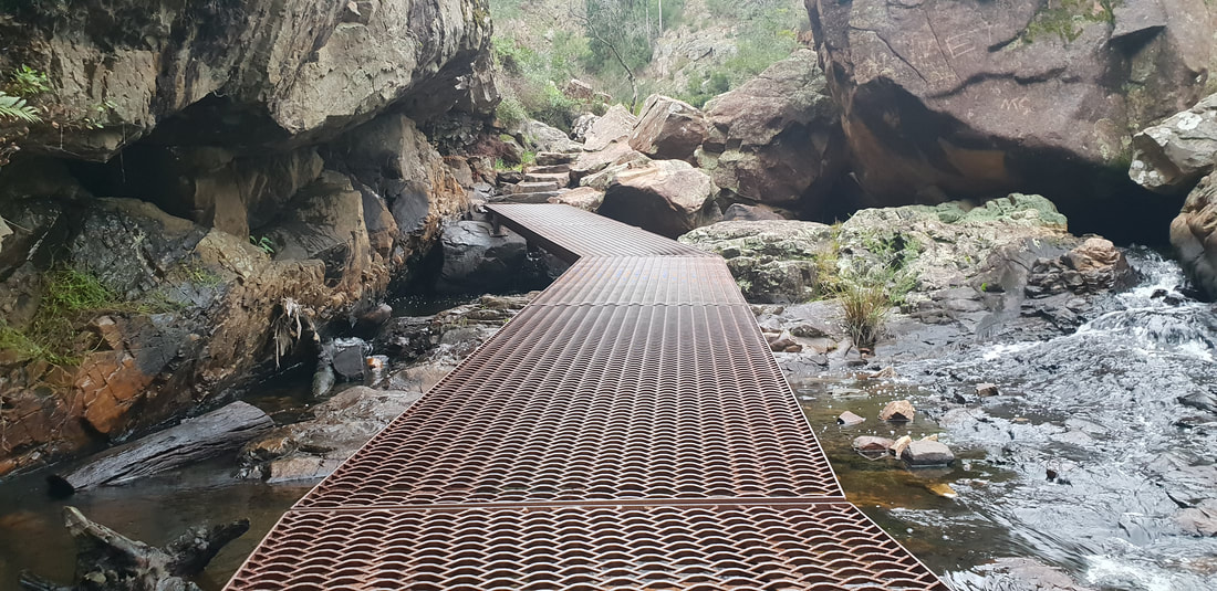
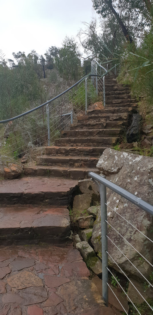
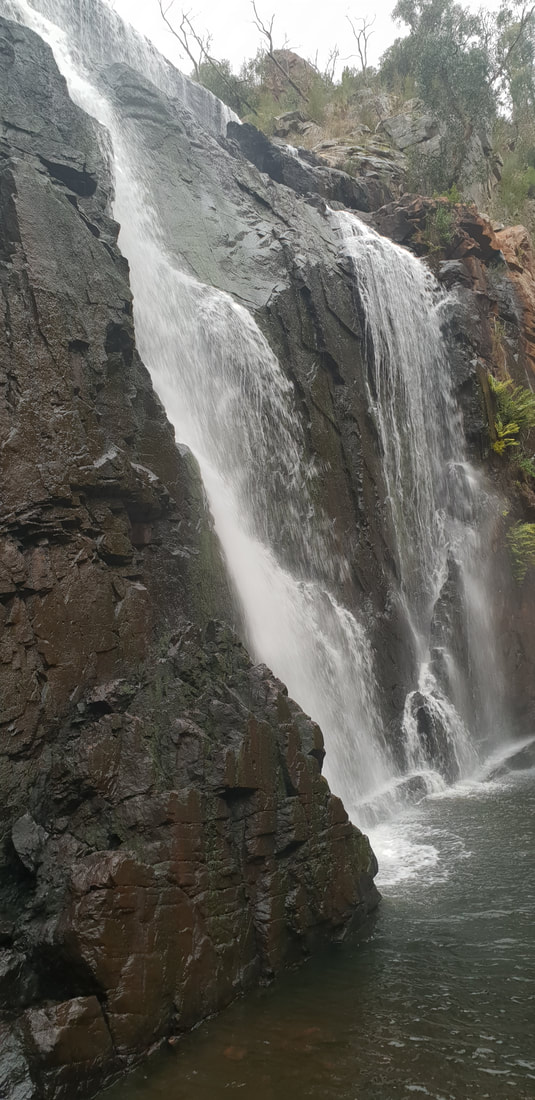
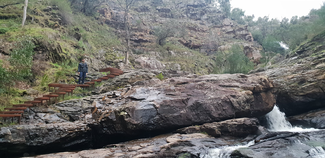
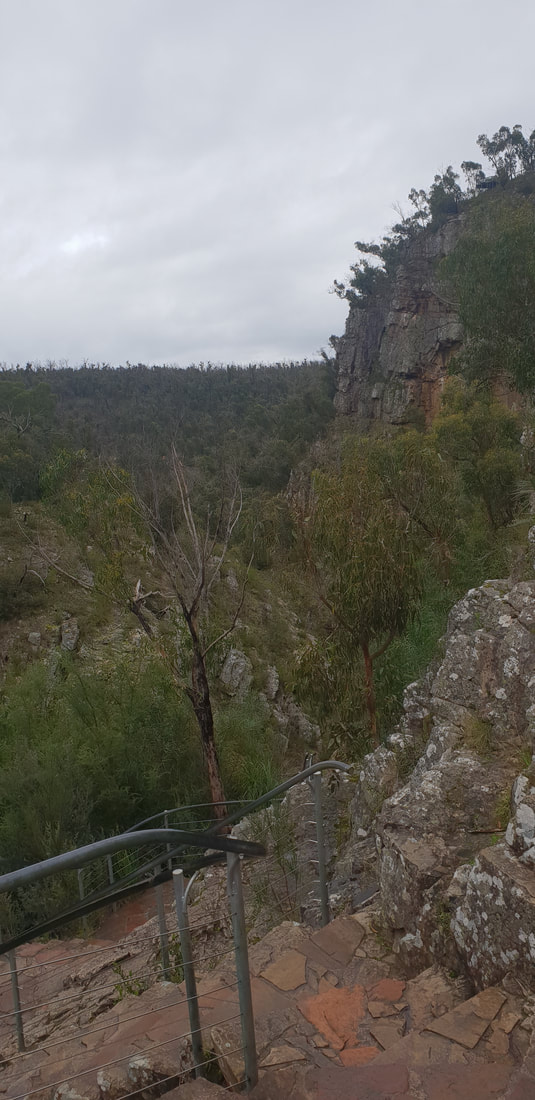
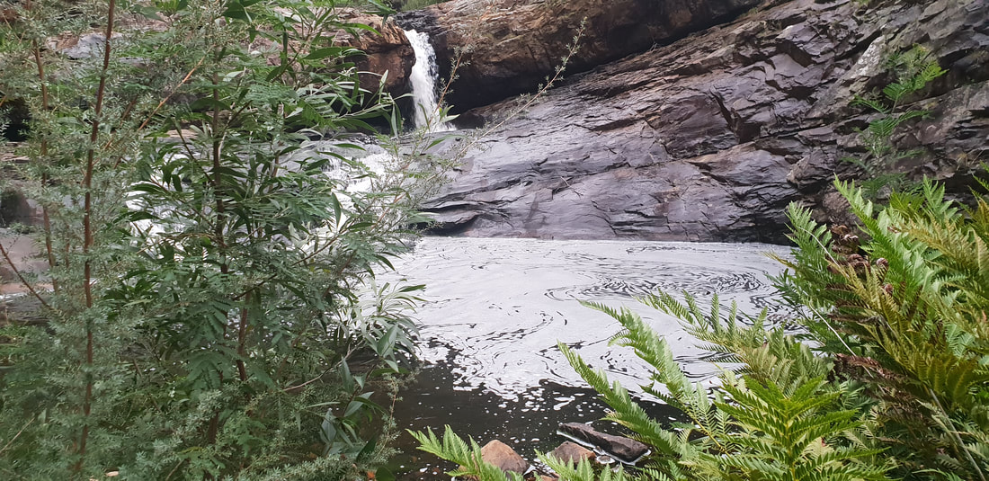
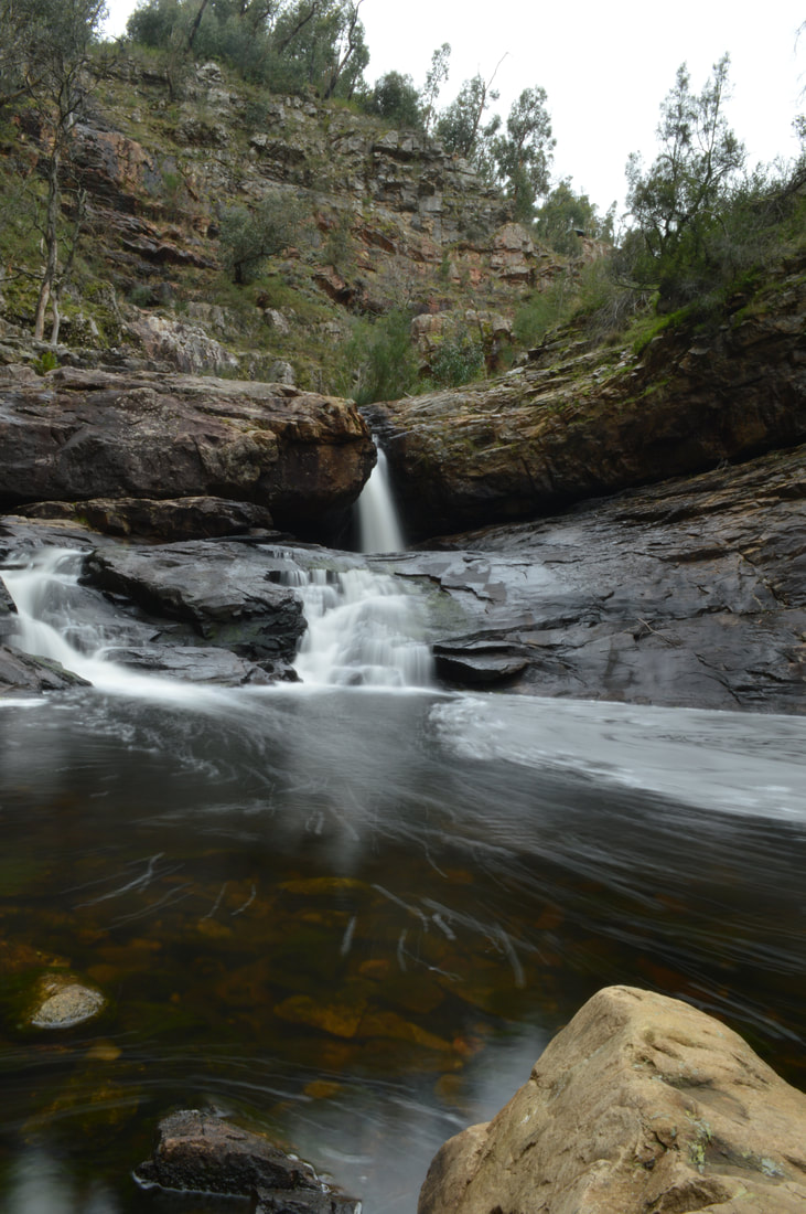
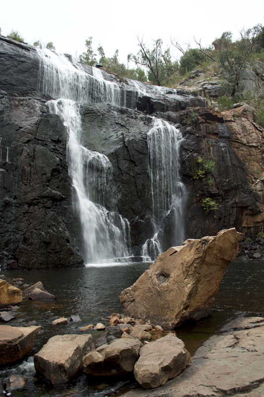
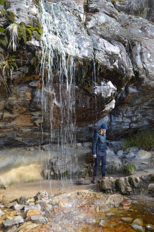
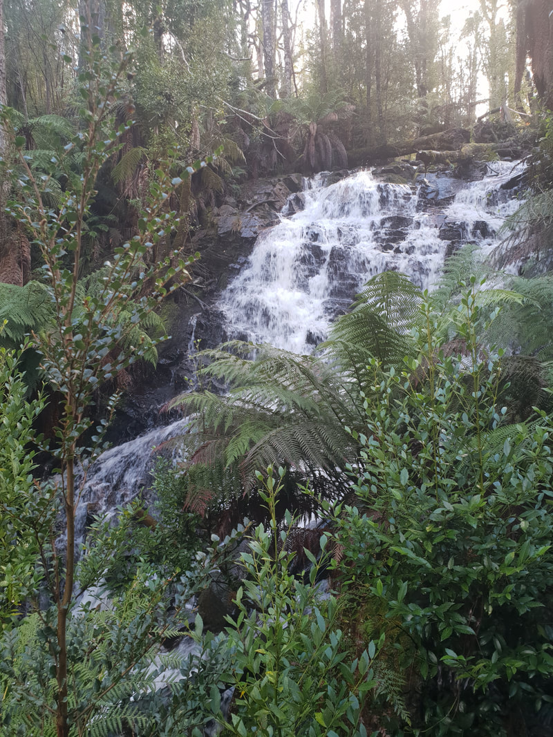
We enjoyed a delicious dinner of Irish lamb stew at Barneys' Bistro an old shearing shed converted into a bar, located in Pomonal. Mackenzie FallsThis is the largest waterfall in the region and the only one that flows year round. Mackenzie Falls is supplied by nearby Lake Wartook, a catchment area that provides water to Horsham, a local town. The falls will only stop flowing if this lake runs dry. Bushfire went through this area in 2014 and the evidence is still visible with the many kangaroo tails, that thrive after a fire now inhabiting the land. Shovel and I ventured on two walks, one to a lookout and the other down to the base of the falls, both are only short walks with the one to the base including about 250 steps, but the paths are well laid out, which made for a lovely adventure. The Indigenous word for the falls is Migunang wirub, meaning black fish floating on top of water. Despite searching for the Indigenous word the falls were named after Captain MacKenzie, by Major Mitchell in 1836.
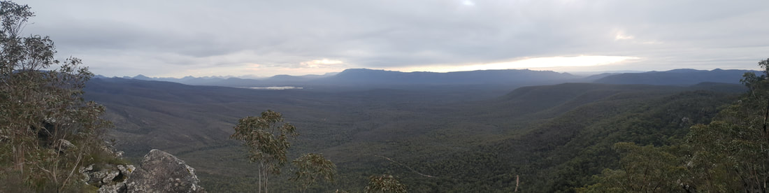
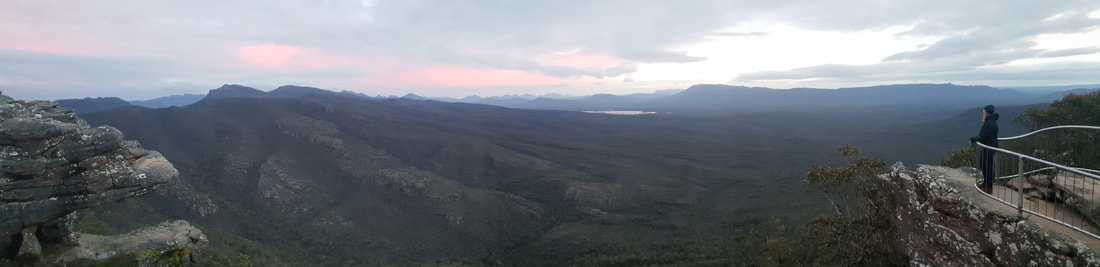
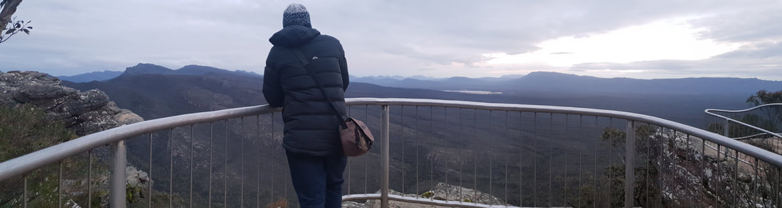
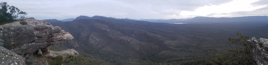
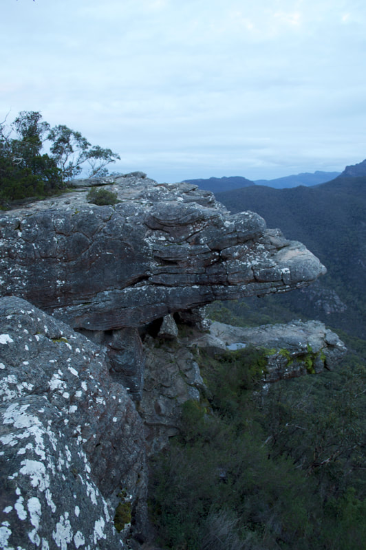
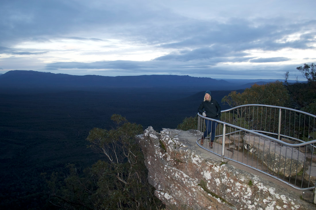
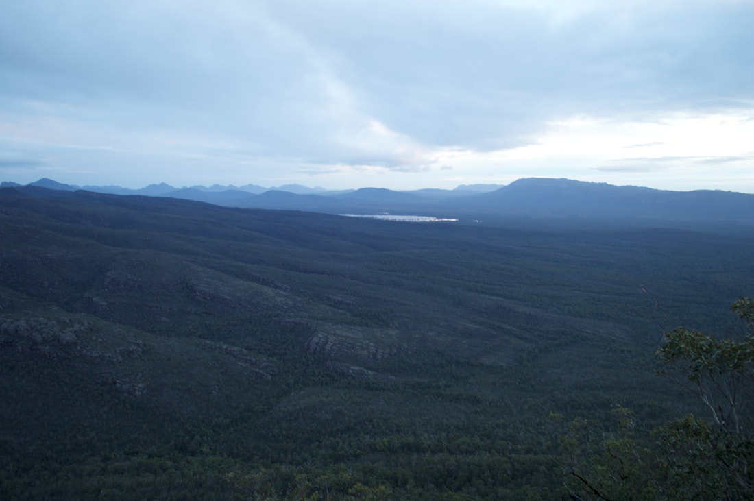
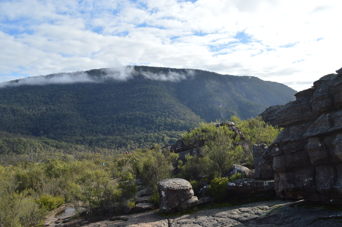
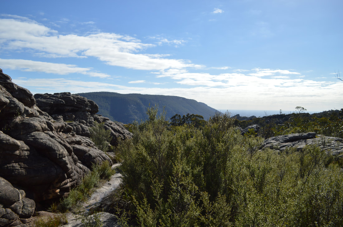
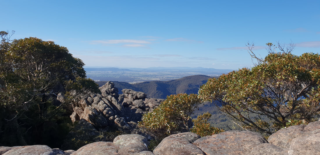
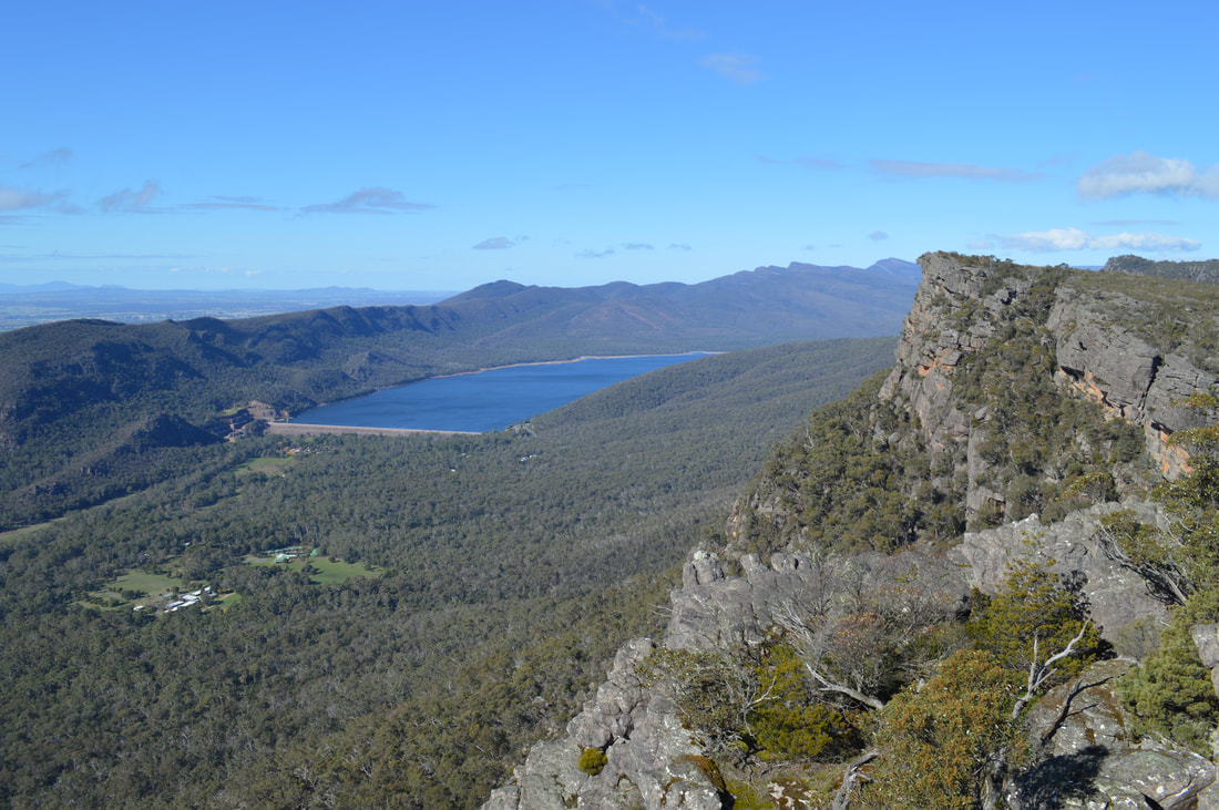
Reeds Lookout and The BalconiesSunset looking out over the Victoria Valley, Victoria Range, Serra Range, Lake Wartook and the Mt Difficult Range.
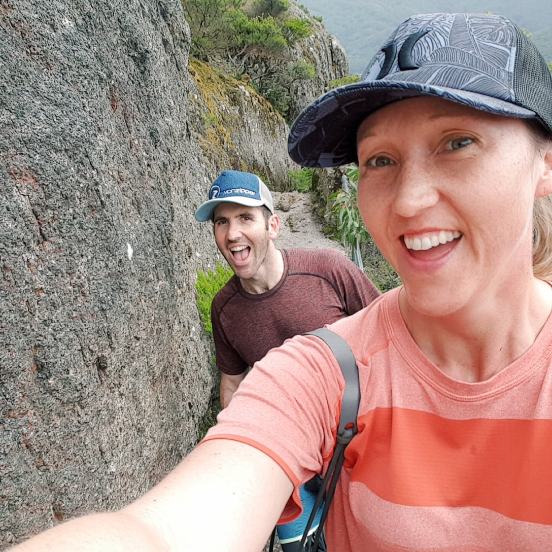
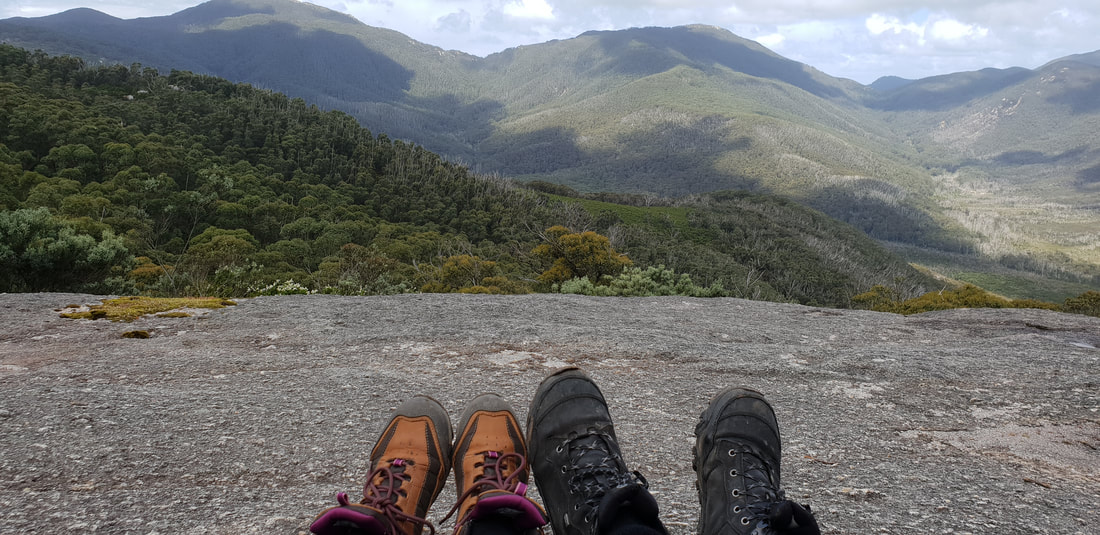
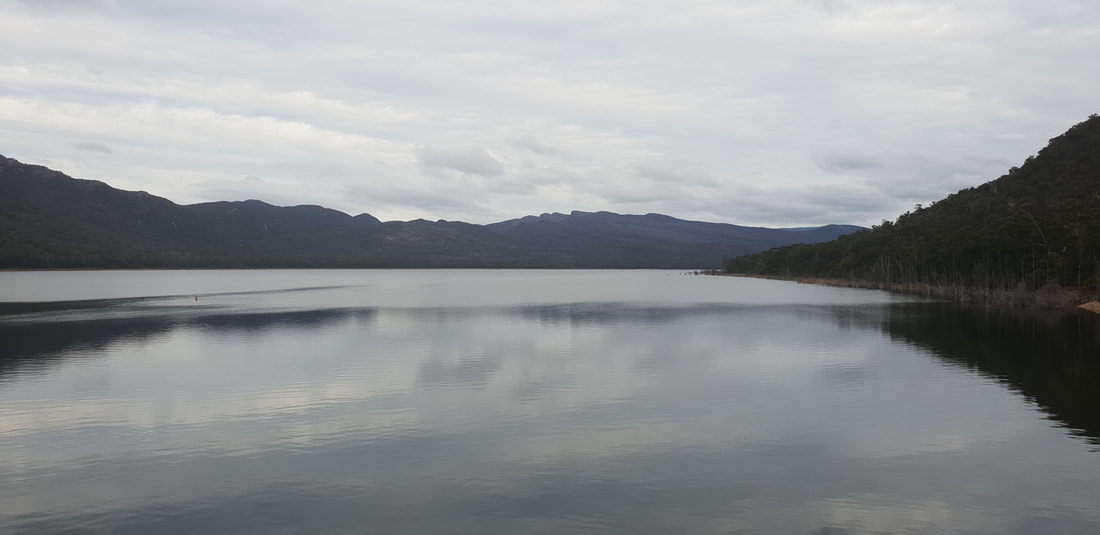
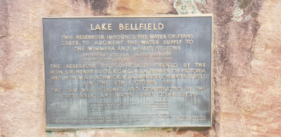
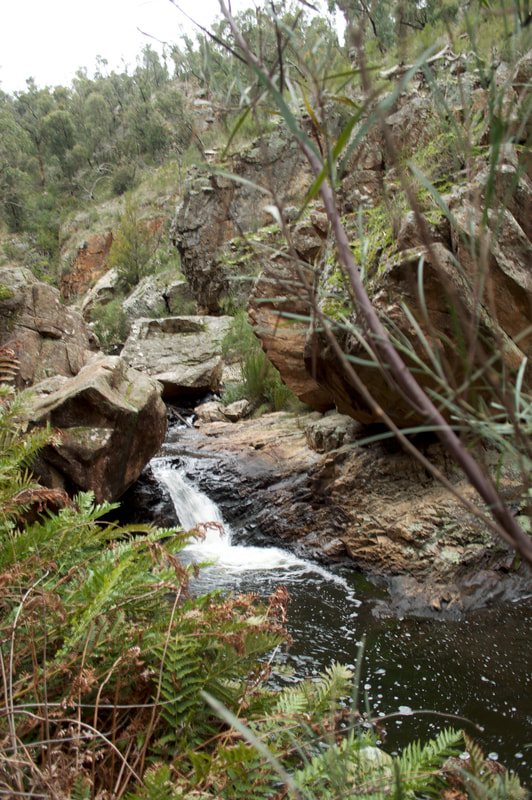
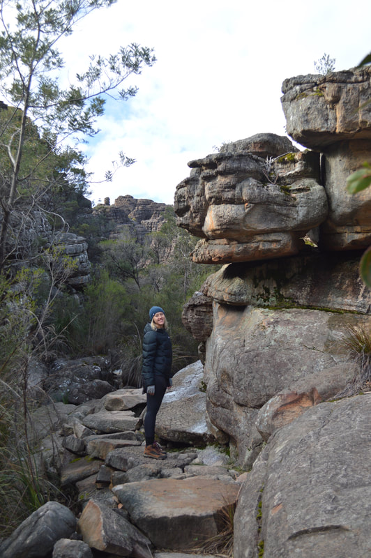
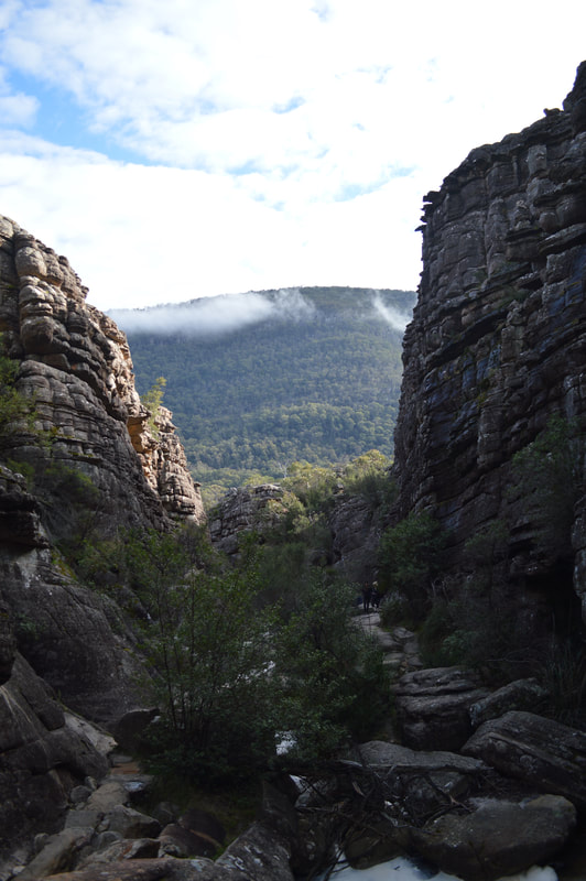
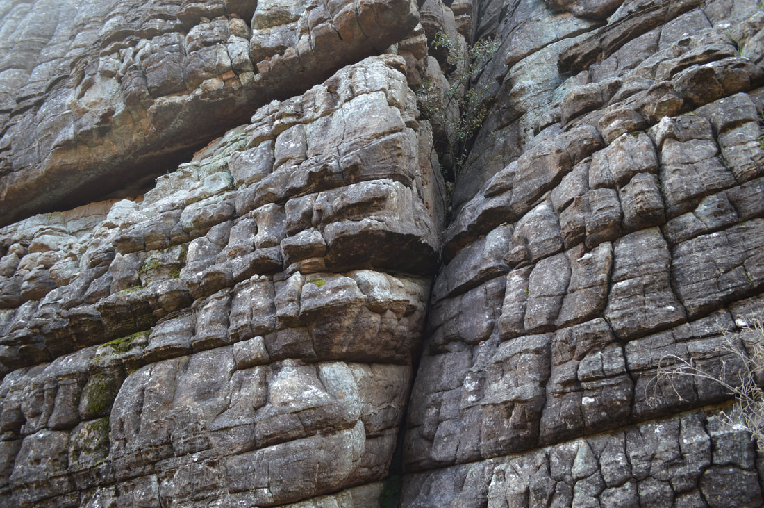
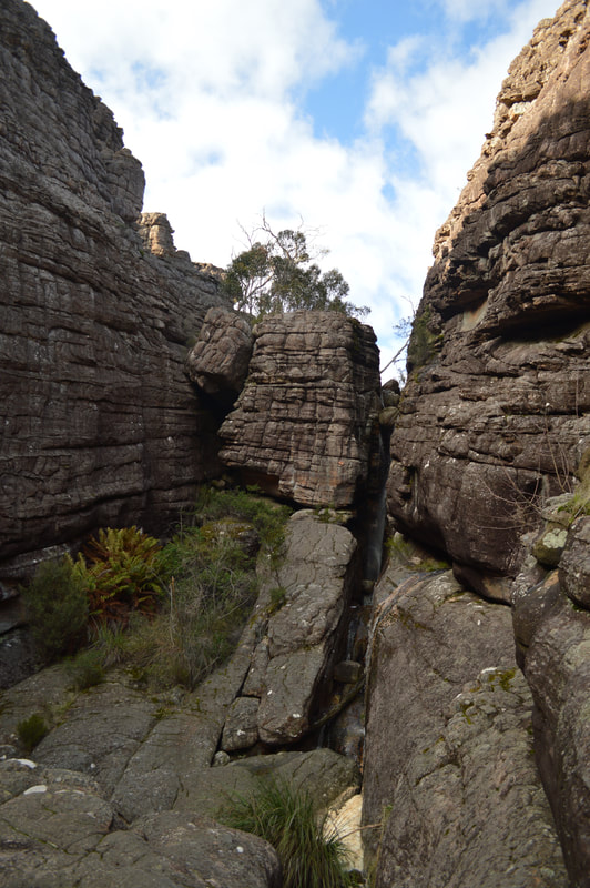
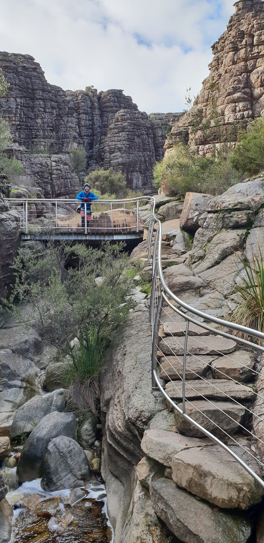
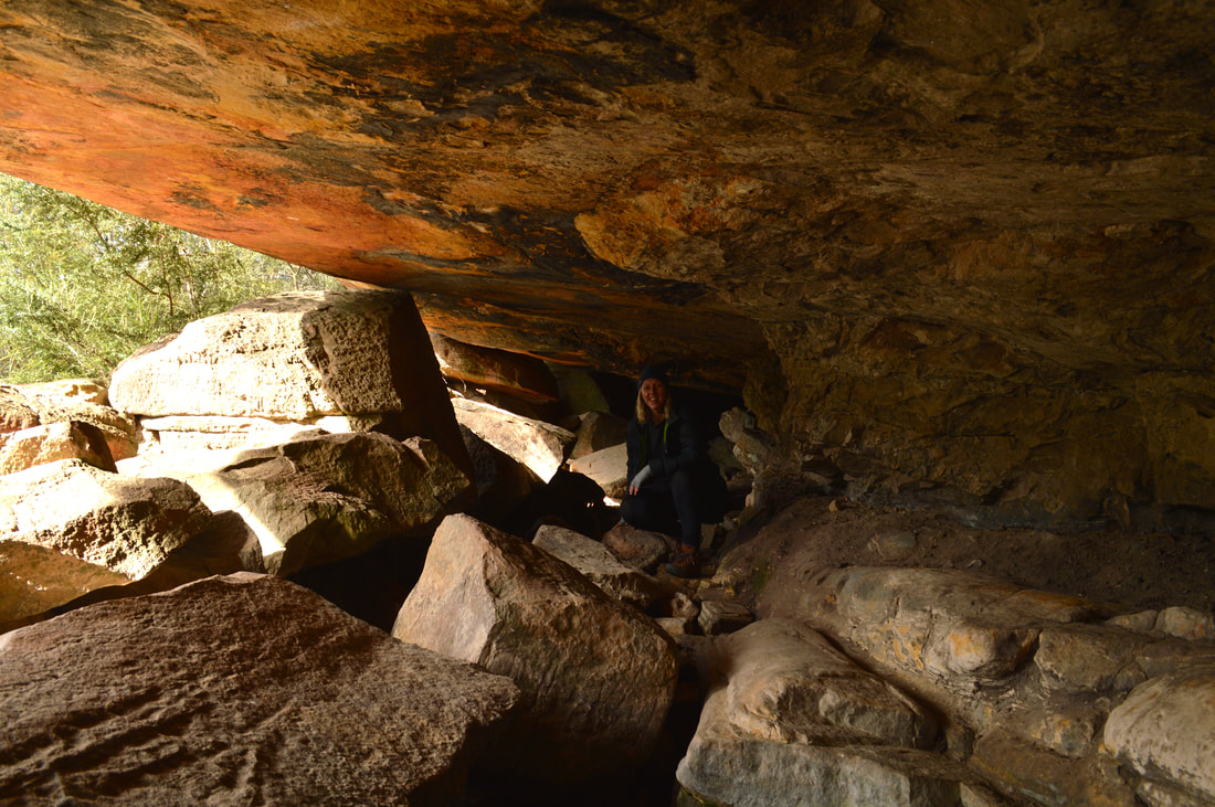
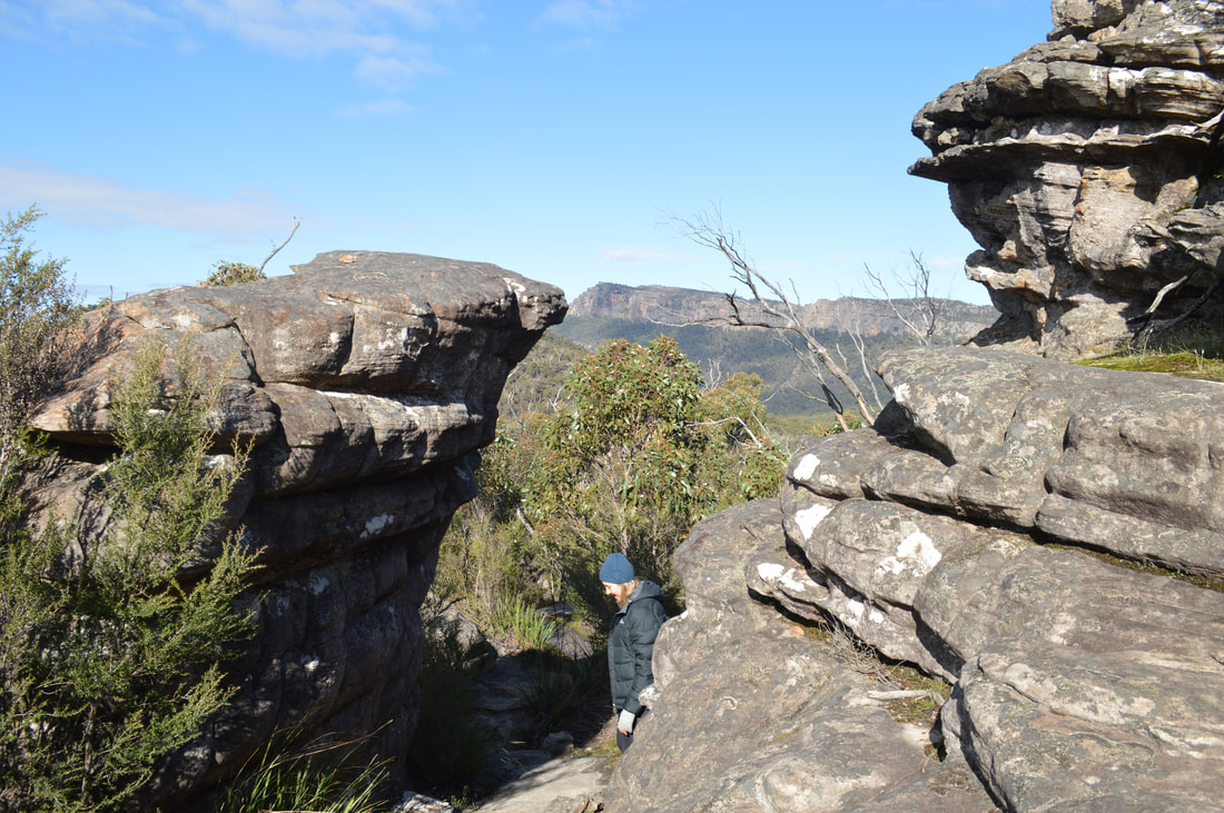
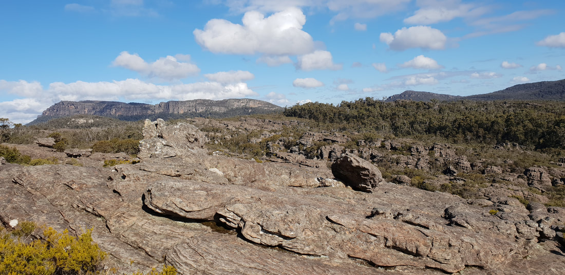
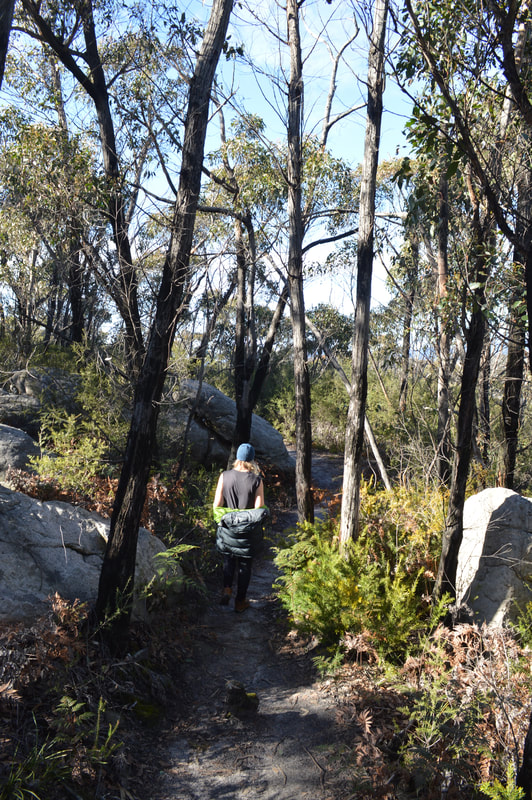
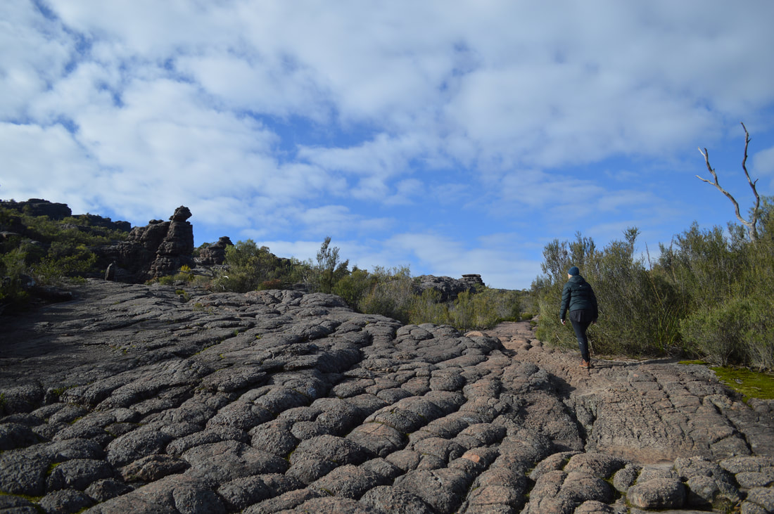
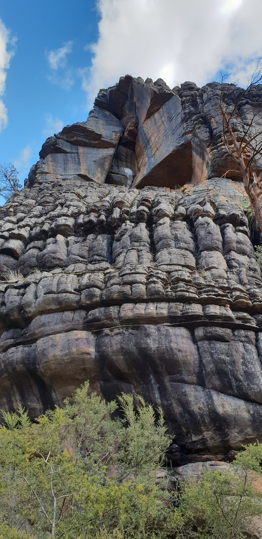
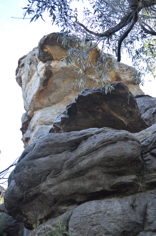
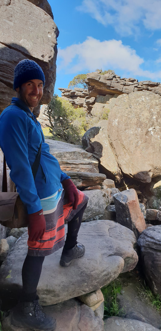
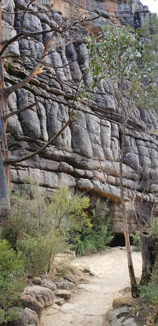
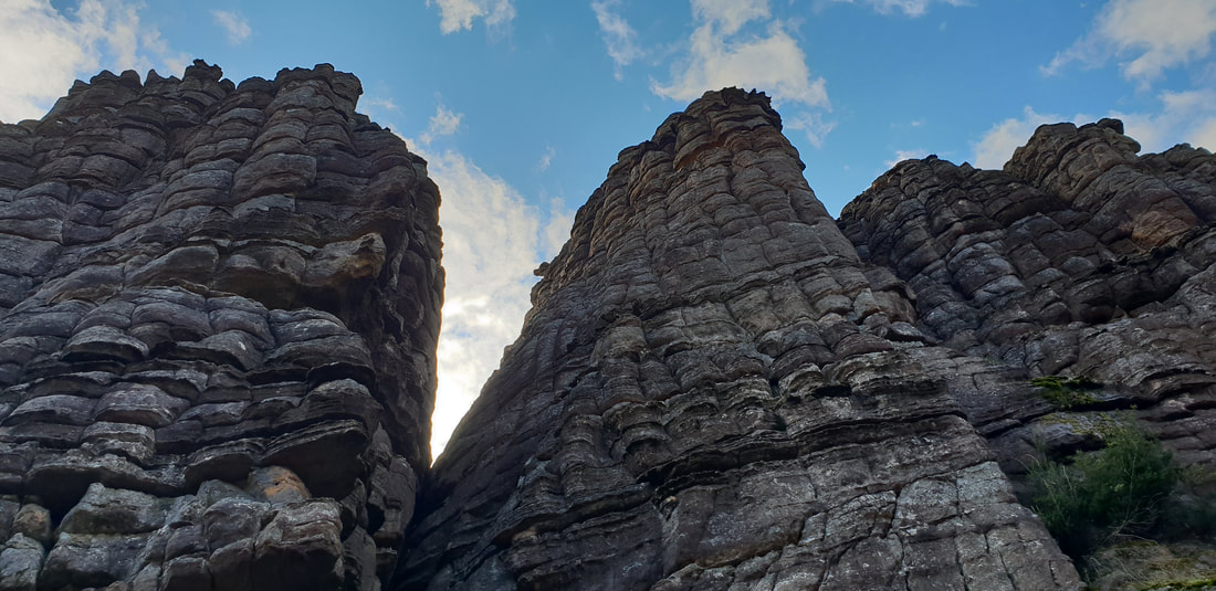
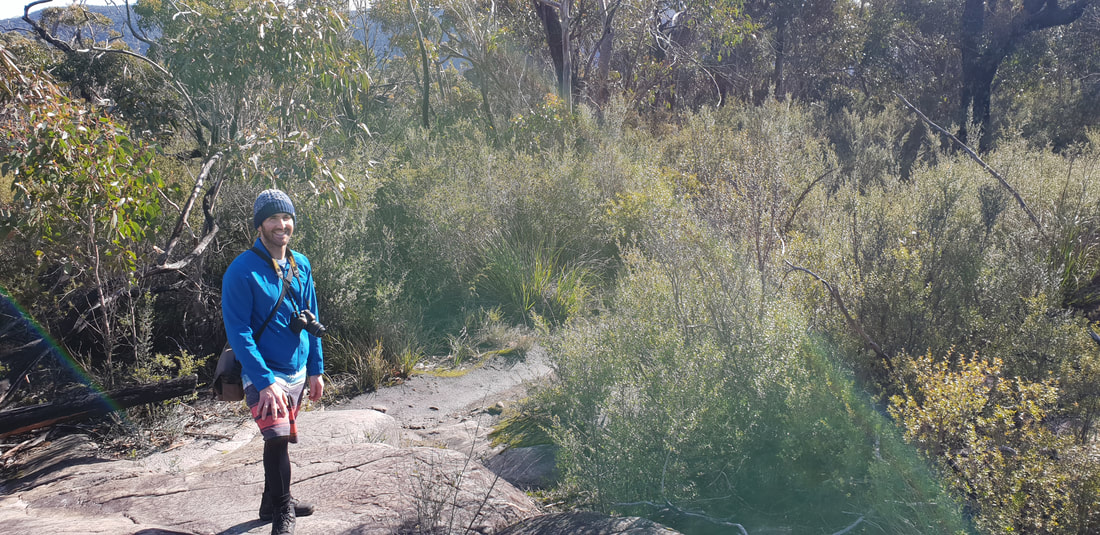
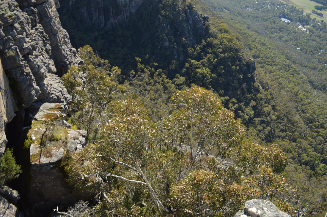
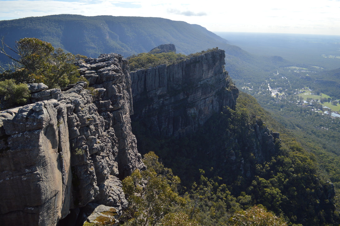
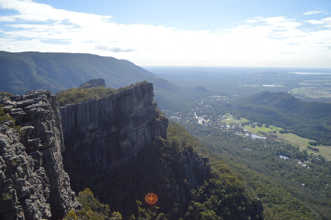
Wonderland LoopThe Wonderland Loop lives up to it's name as the walk literally is a wonderland, with many interesting components and various terrains, culminating in spectacular views over Halls Gap and Lake Bellfield. The track is full of many fascinating surprises and points of interest along the way including, The Grand Canyon, Splitter Falls, The Cool Chamber, Silent Street and the Pinnacles. The walk was really enjoyable, yet challenging and both made us feel regenerated and happy to be out once again in the nature.
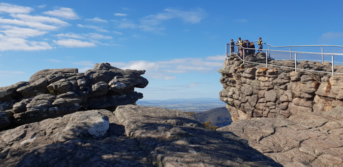
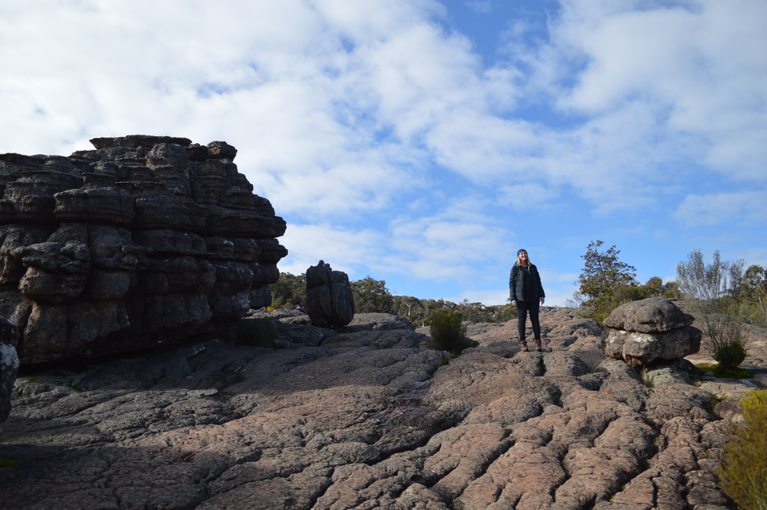
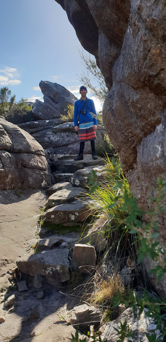
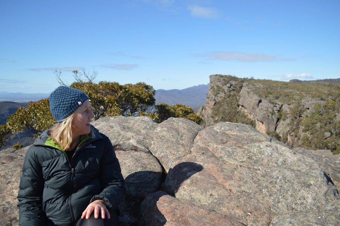
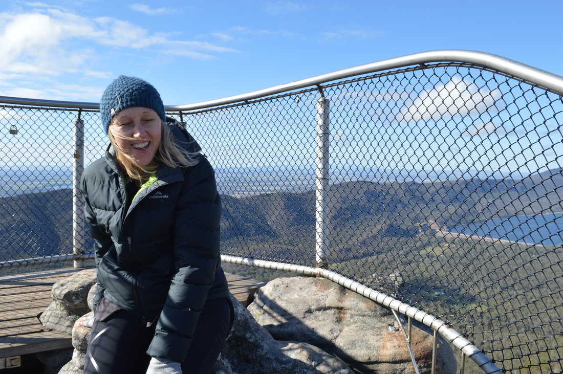
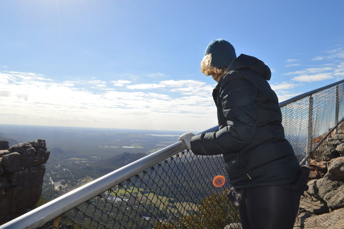
The Pinnacle LookoutThe Wonderland Loop culminates at the top of the summit at The Pinnacles. I was absolutely shite scared heading out to the tip of the pinnacle, even with the handrail I had to dash back to the main section away from the overhang. But, sucked it up and headed out again for a few quick snaps to prove that I did it, before gumbying my way back to safety. My legs were jelly and I certainly lived up to my nickname, Gumby today.
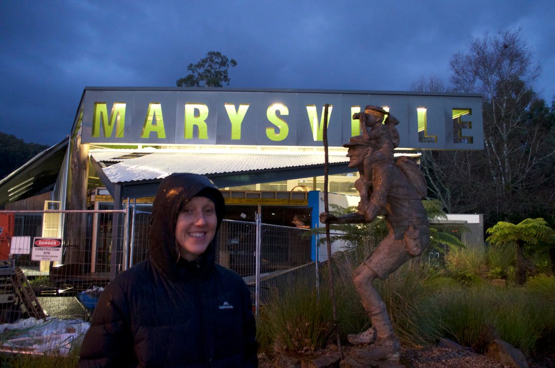
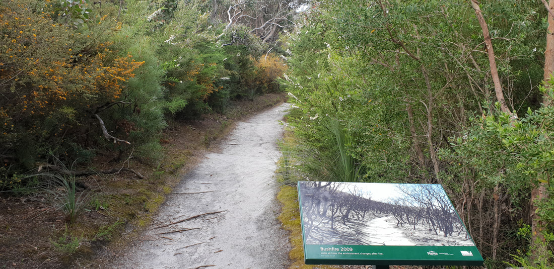
On the 7th February 2009 bushfires raged in many parts of Victoria. These fires on this day were to surpass Ash Wednesday, which occurred on 16th February 1982 as Victoria's worst bushfire disaster, taking 180 lives and severely impacting the township of Marysville. About 90% of the buildings in Marysville were destroyed in the blaze with 45 deaths. The population of the town went from 500 to about 200 after the fires, but has since grown to 400 with a steady increase to construction works and visitor numbers. Shovel and I really enjoyed visiting Marysville and loved the laidback atmosphere. Despite the overnight temperature of zero degrees we were snug in our tent 'Rex' and enjoyed a beautiful feed of Beef Cheek and a French HotPot at the Duck Inn in front of a log fire.
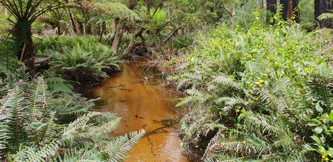
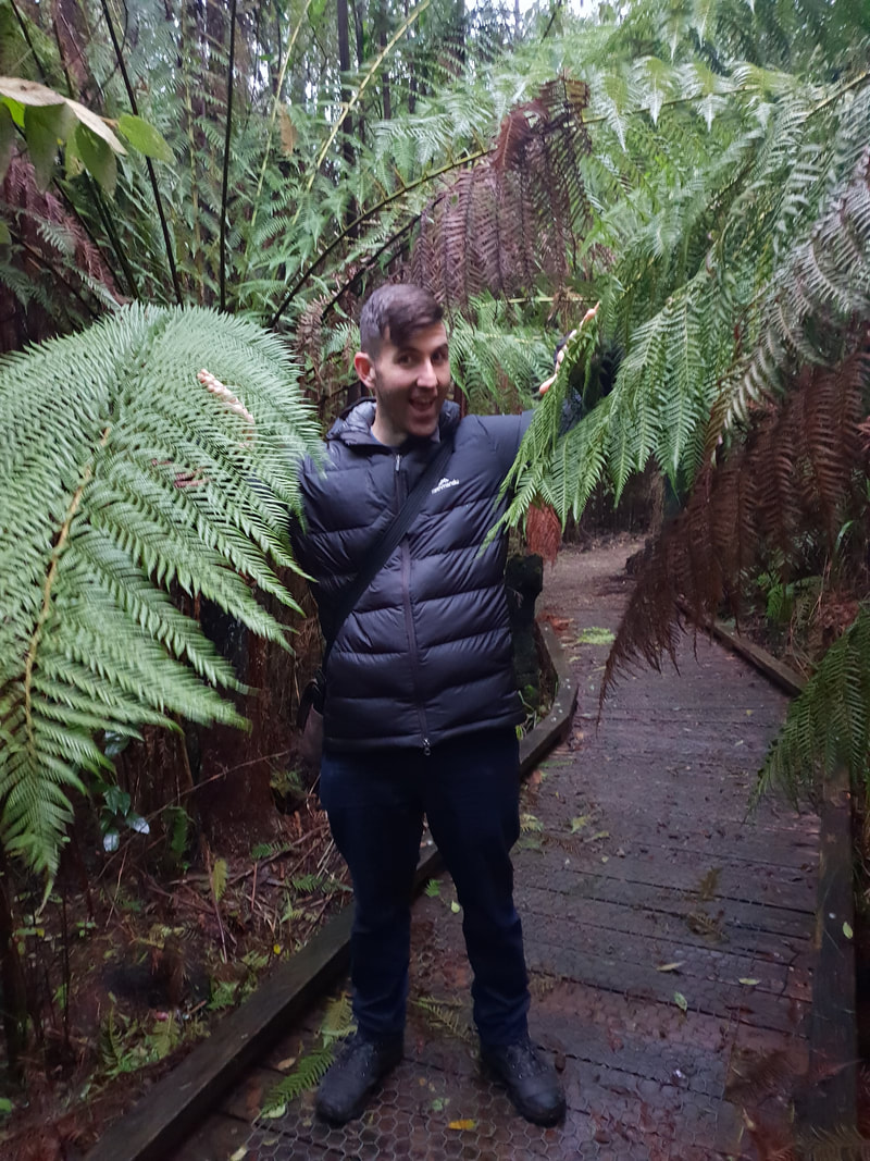
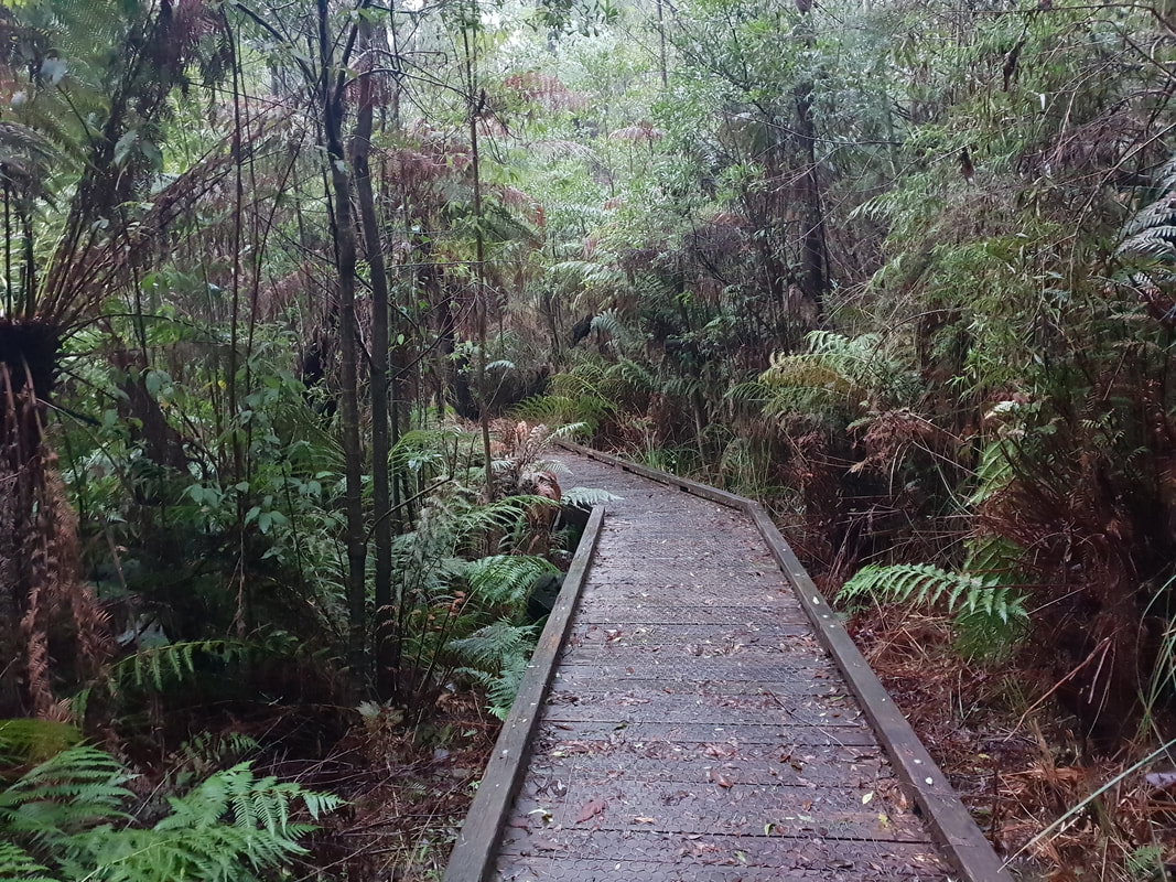
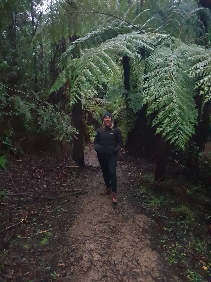
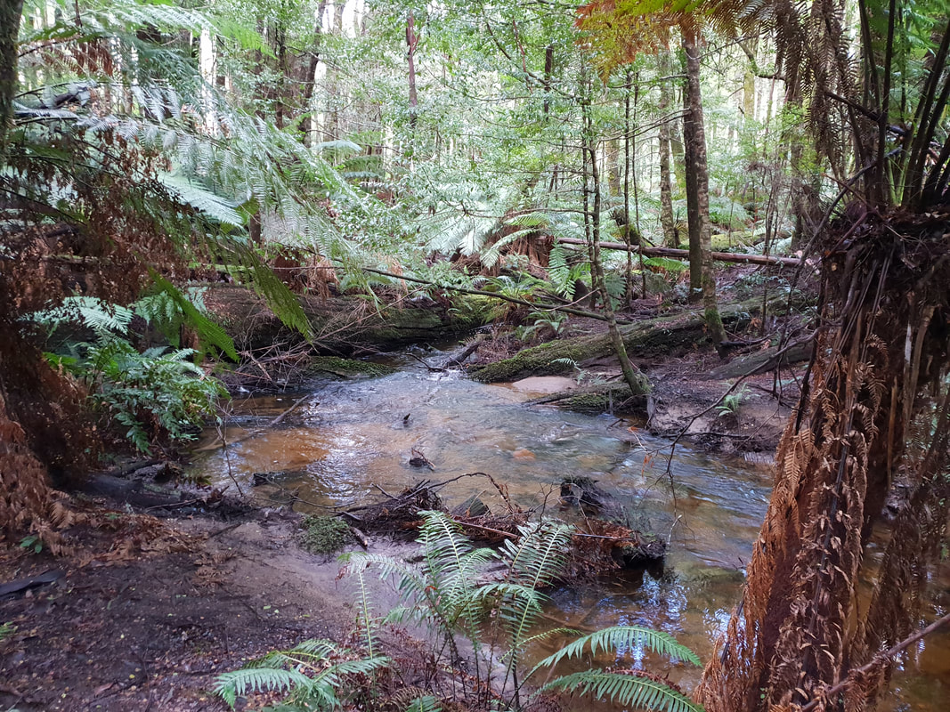
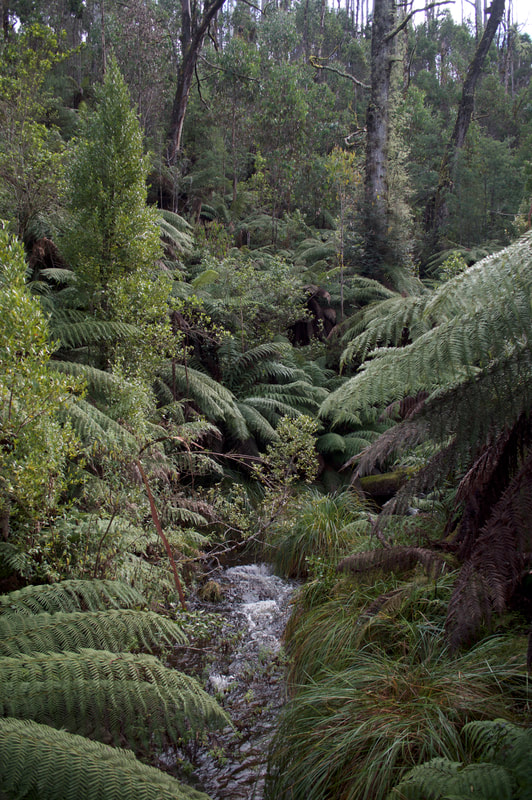
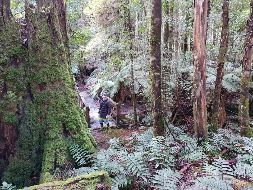
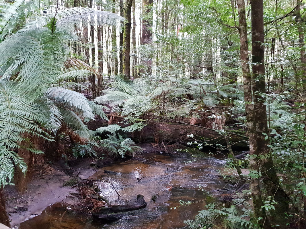
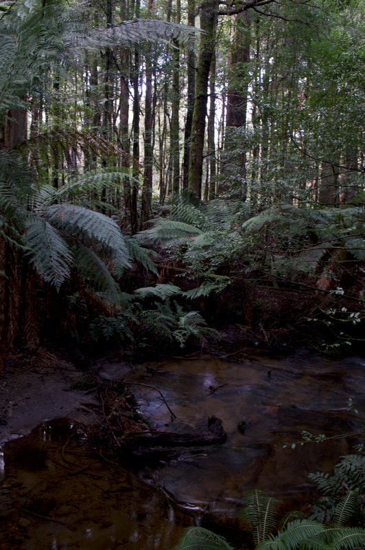
Beauty Spot TrailThis trail follows Leary Creek and is a 1.5 kilometre circuit that navigates through tree ferns and over a board walks. We were on the track prior to dusk and the sound of bird life was beautiful.
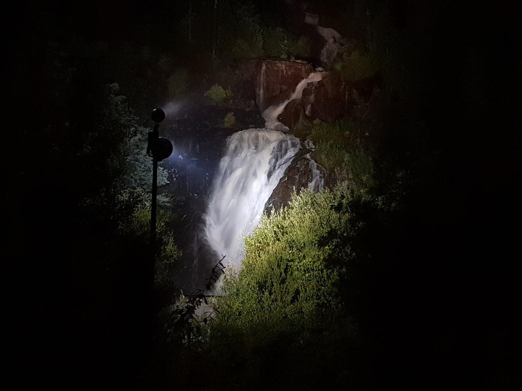
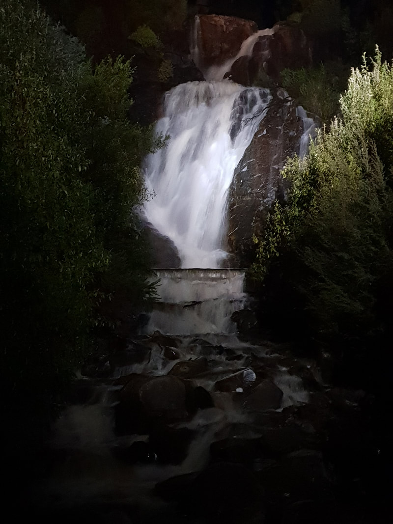
Steavenson Falls
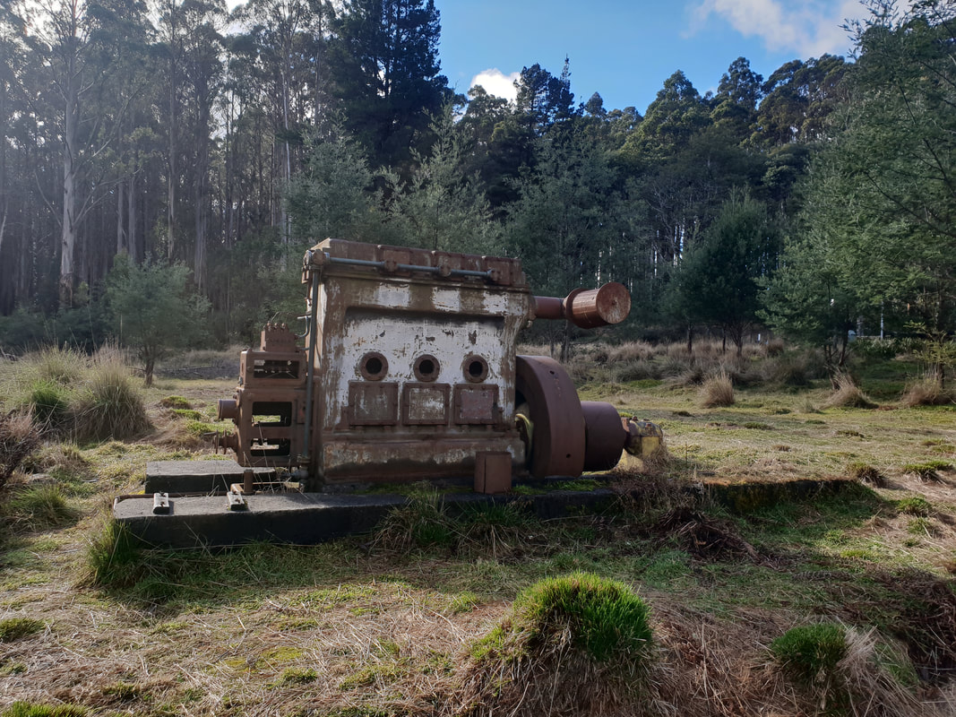
Drive to Cambarville Historic Township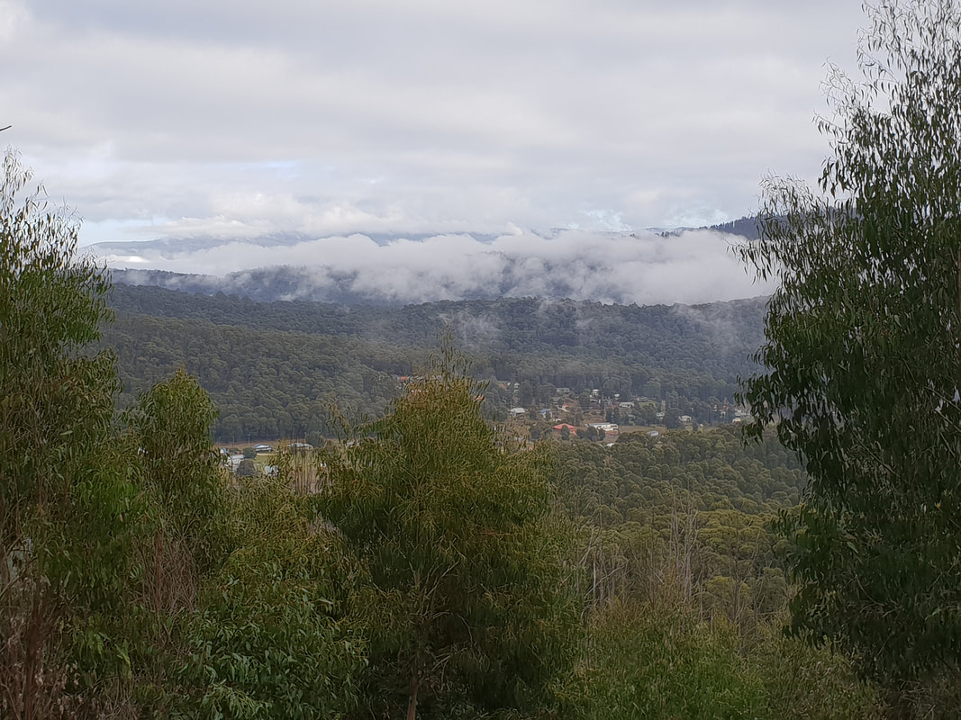
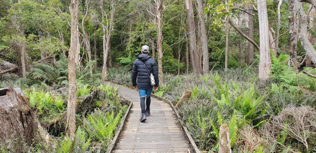
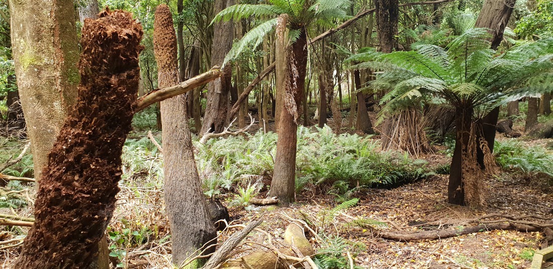
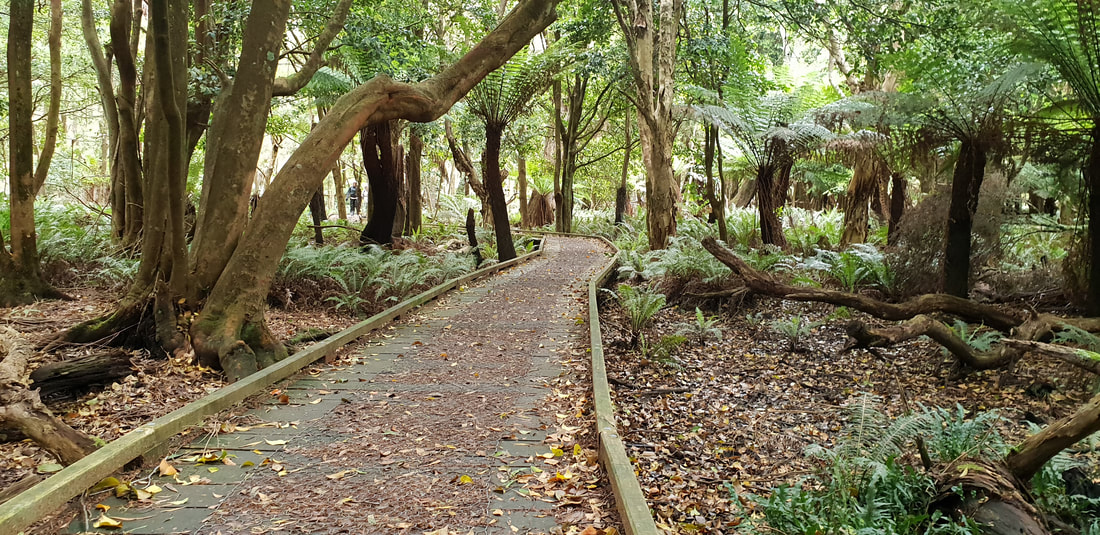
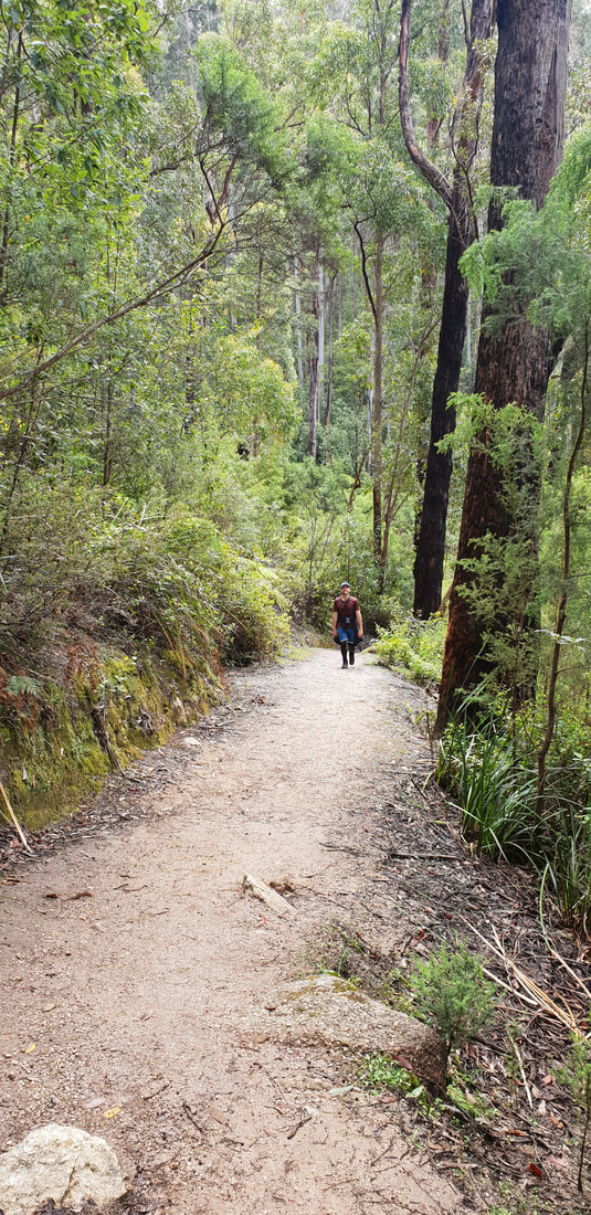
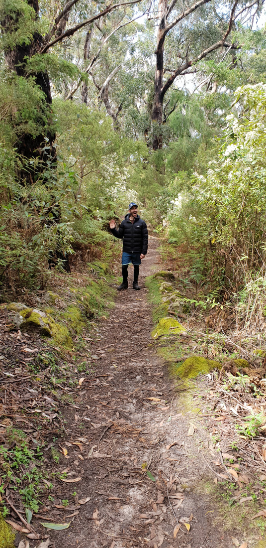
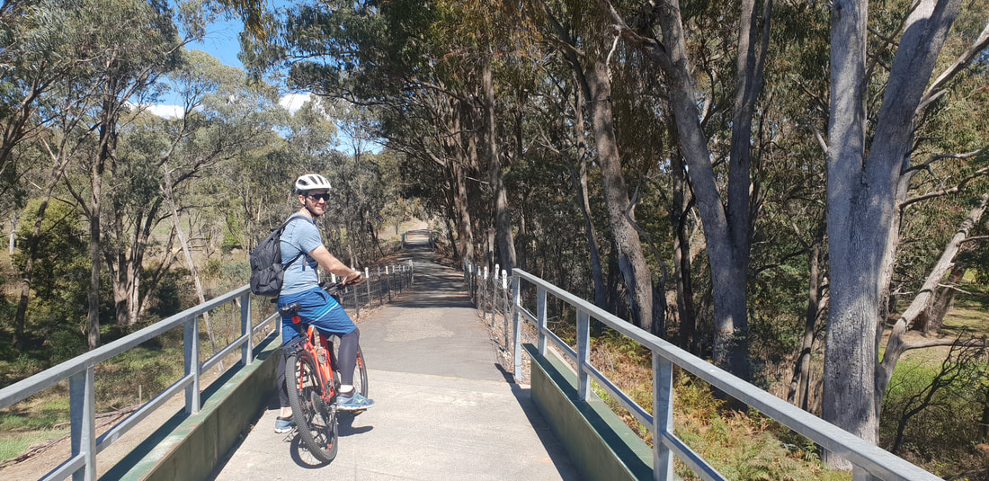
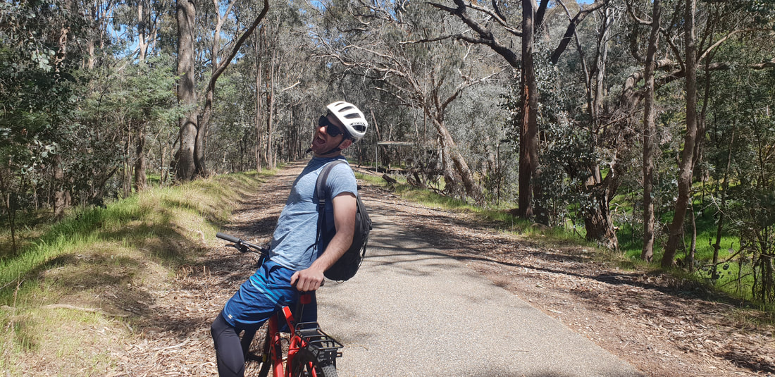
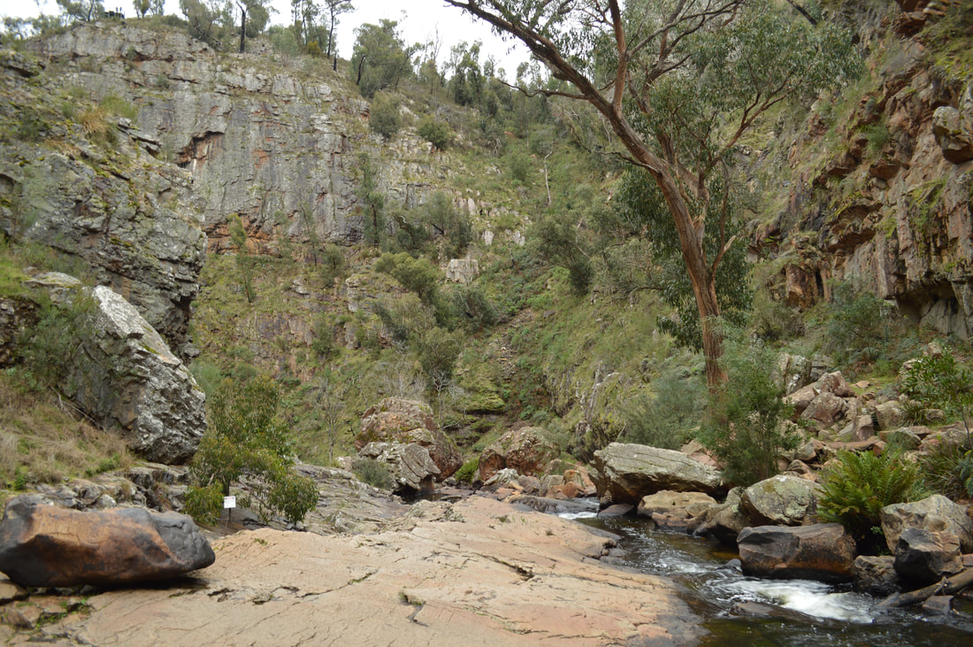
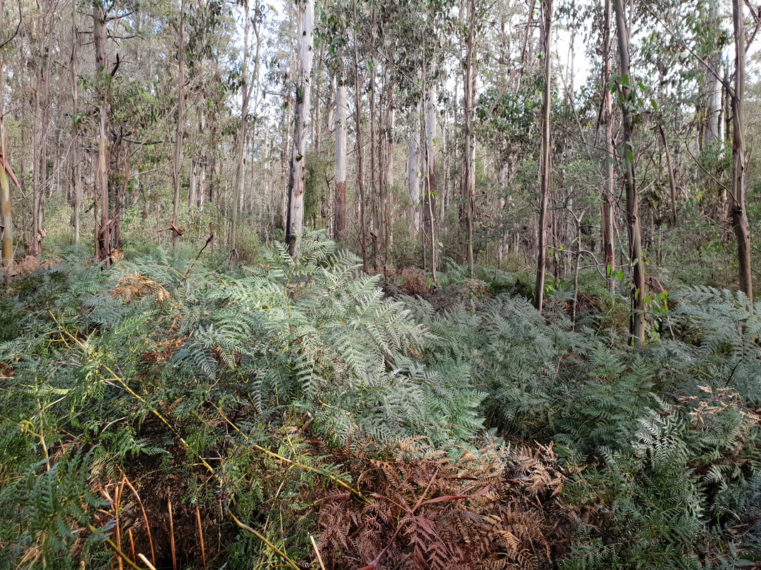
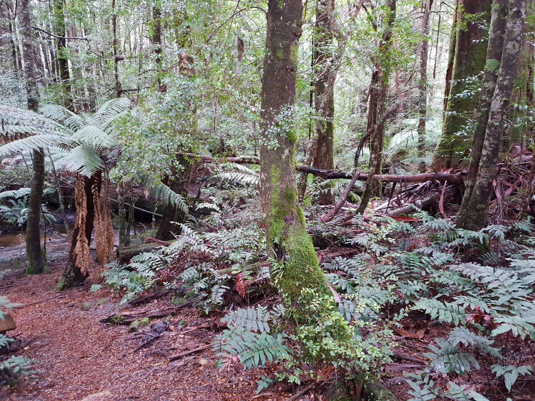
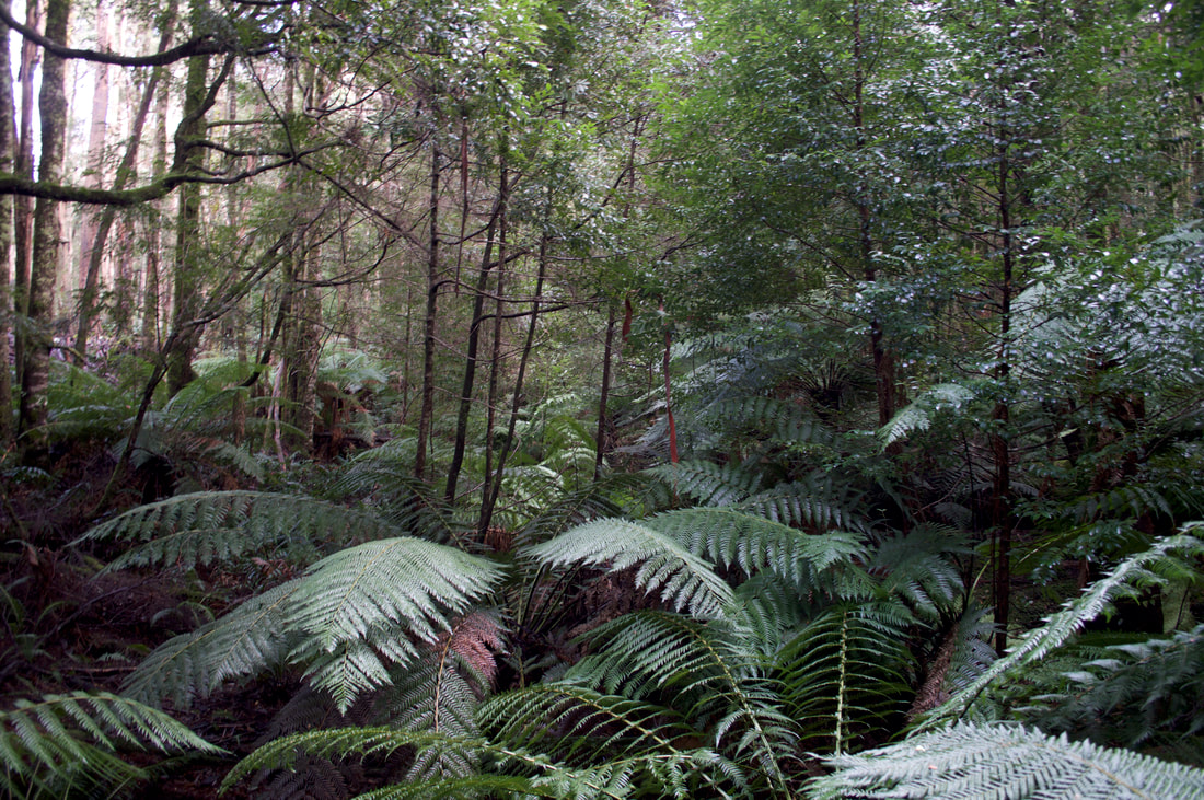
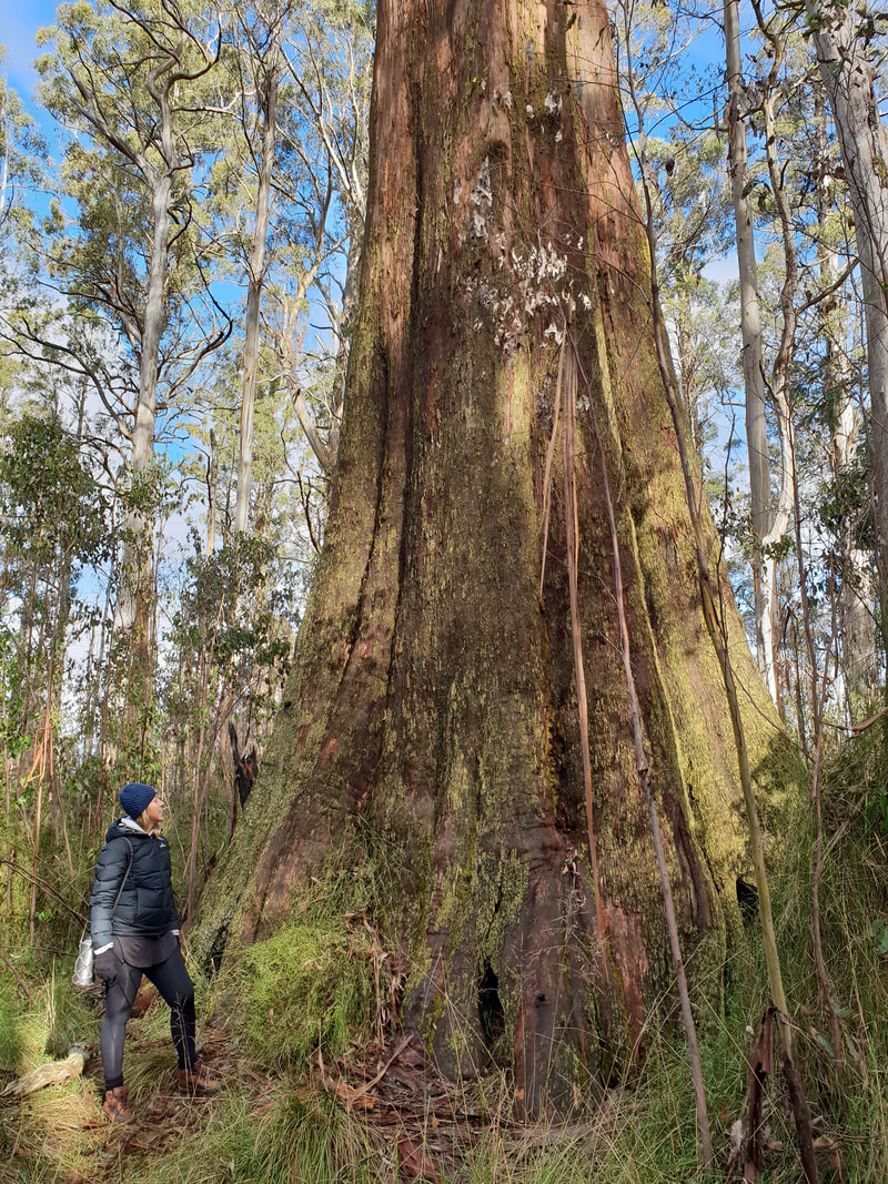
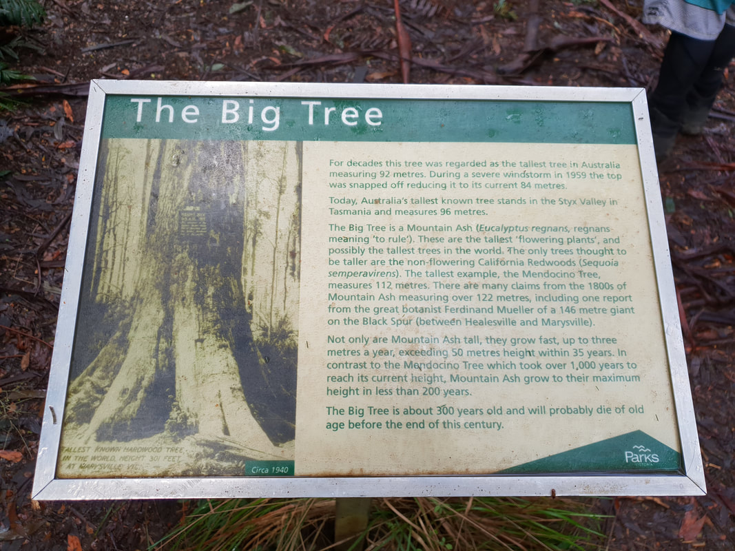
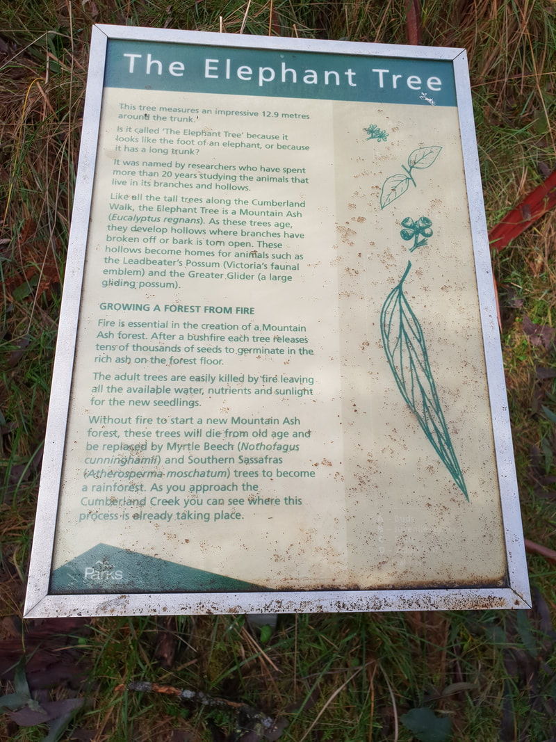
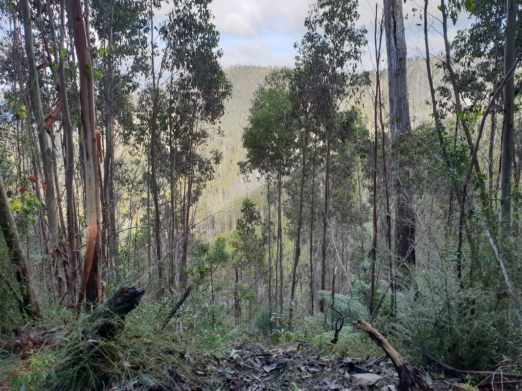
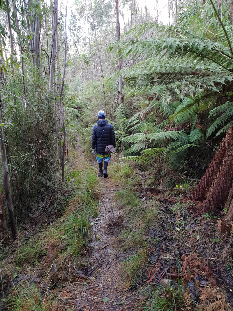
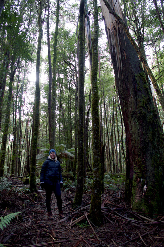
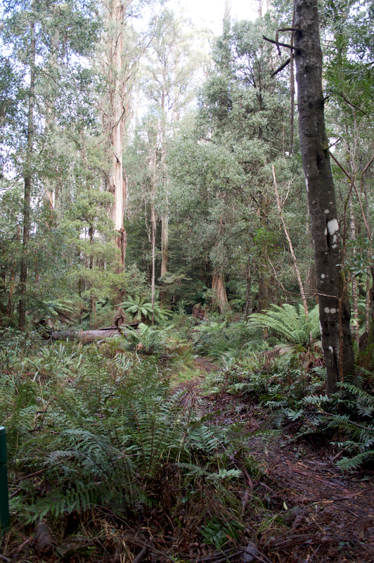
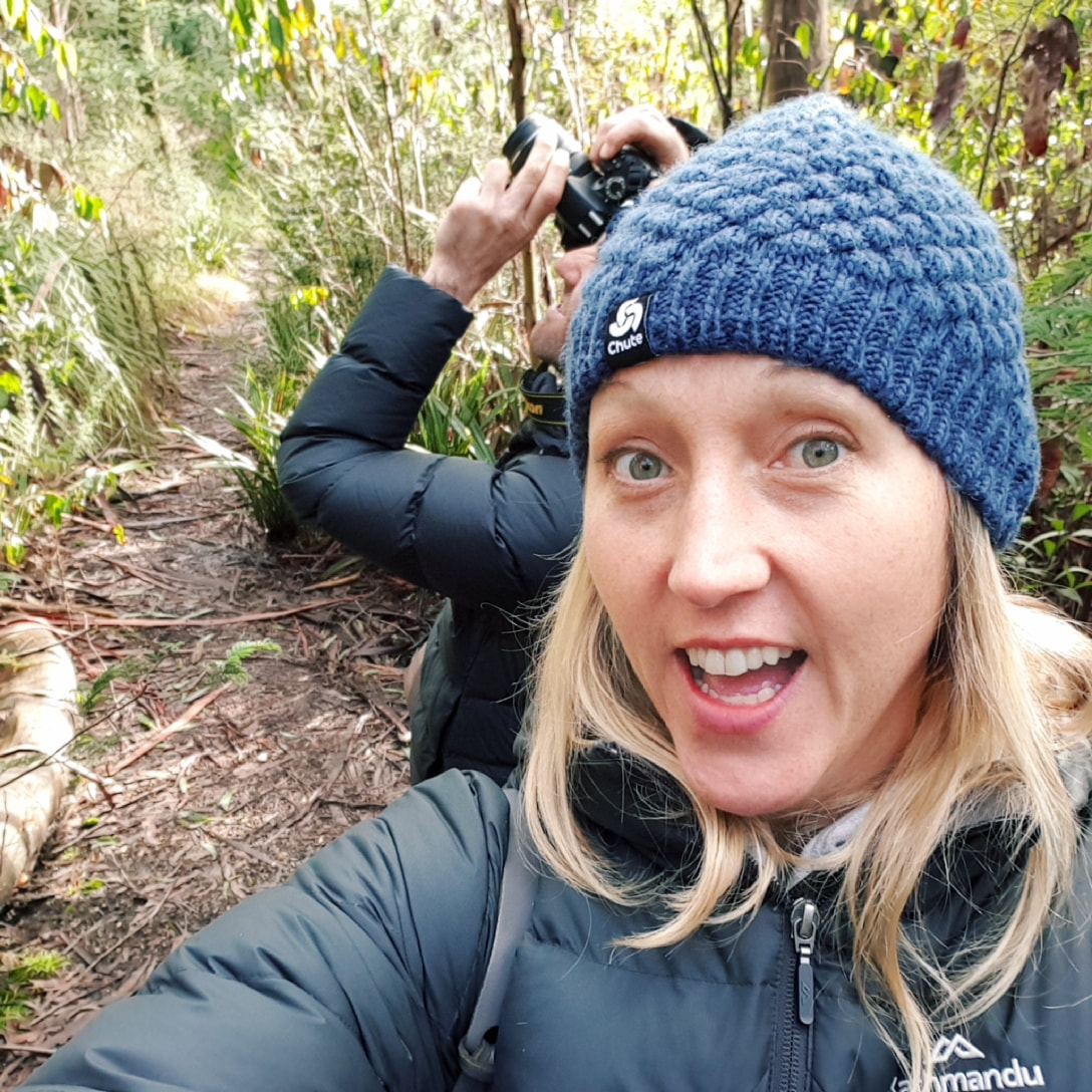
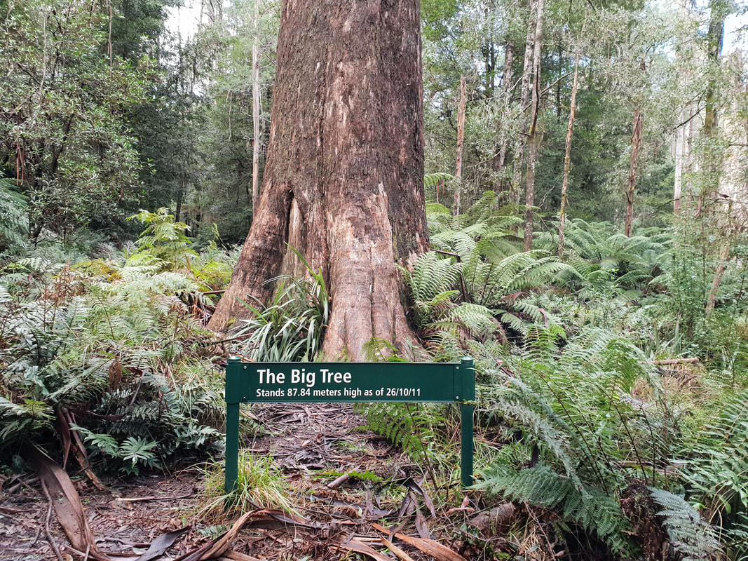
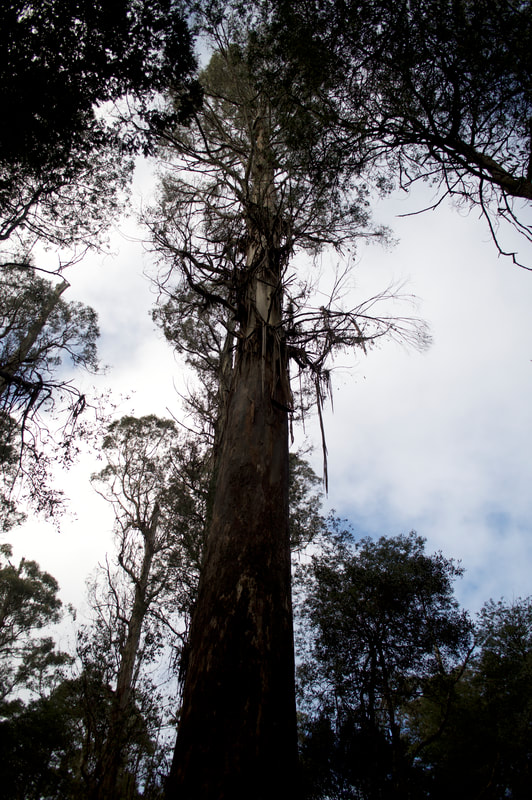
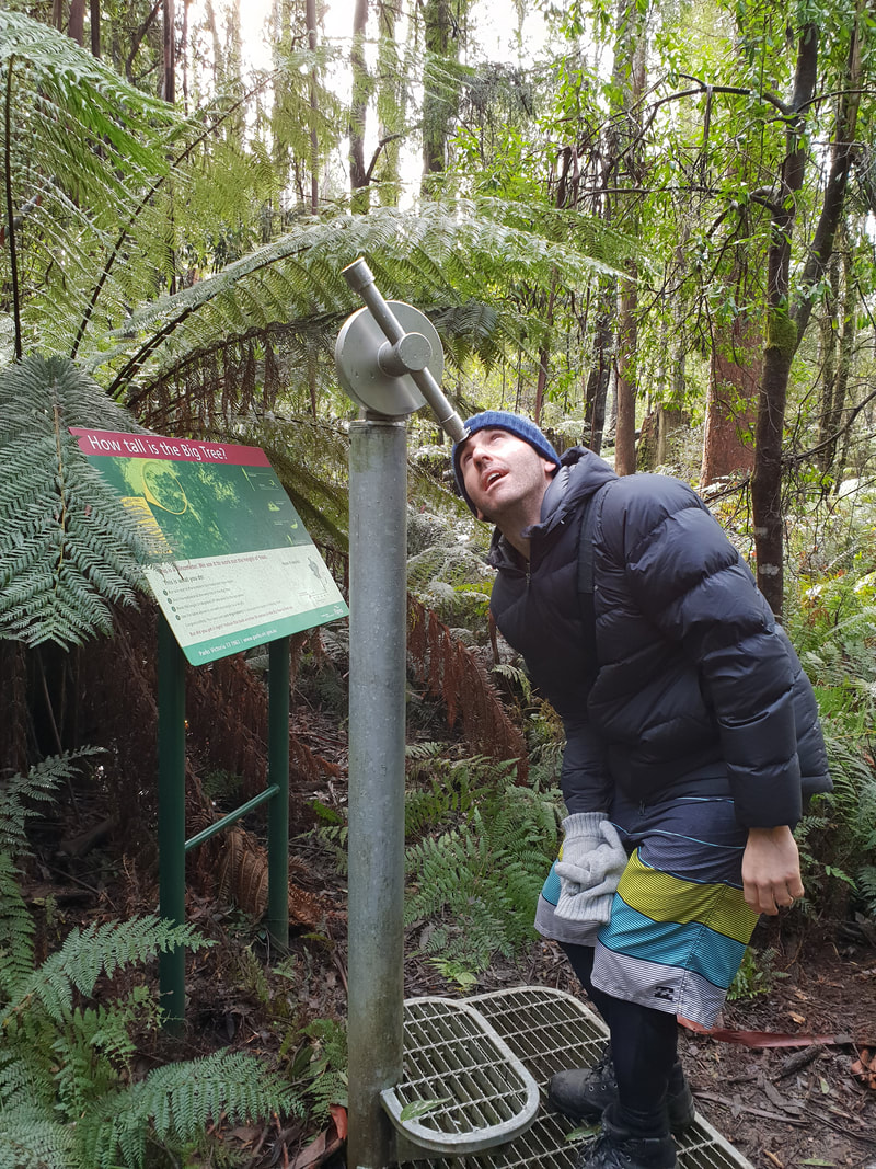
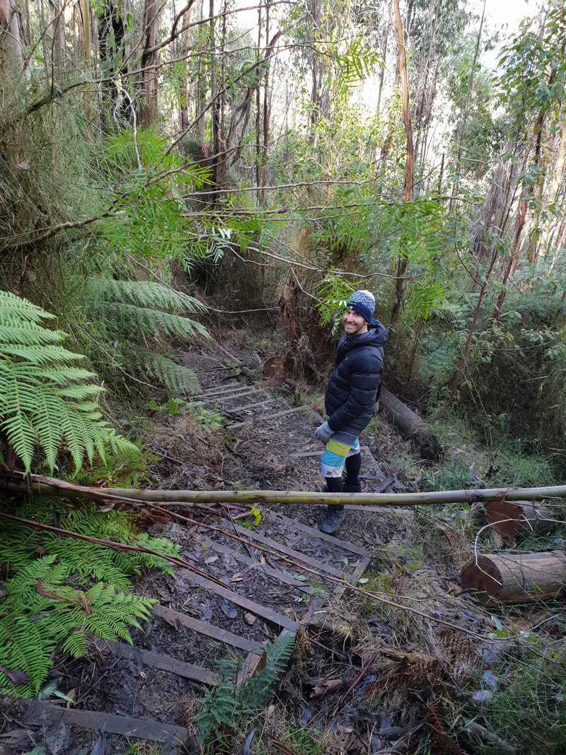
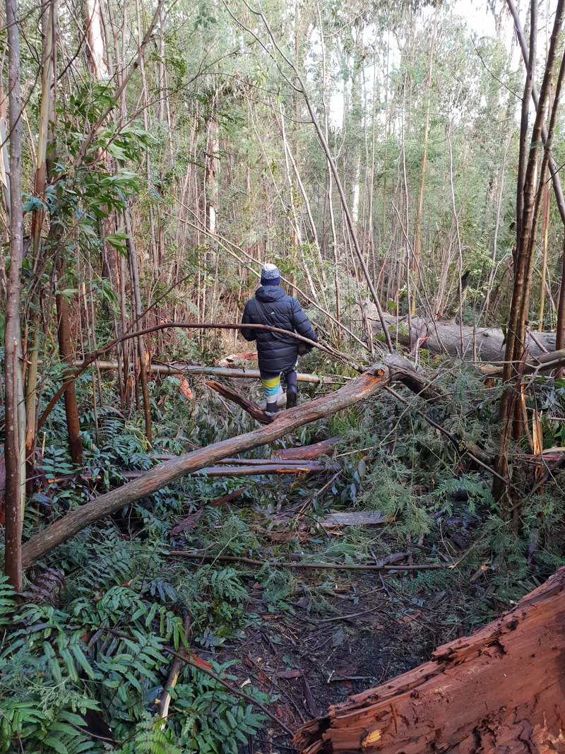
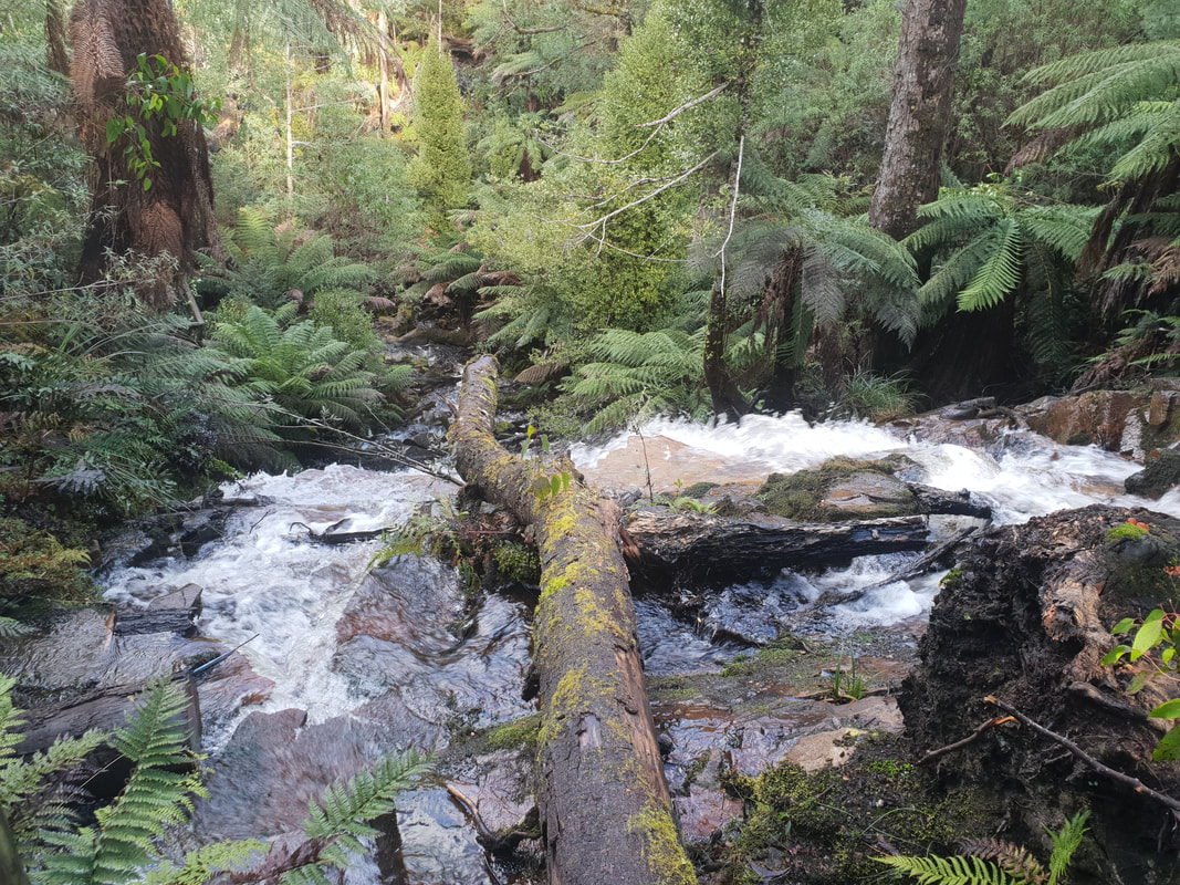
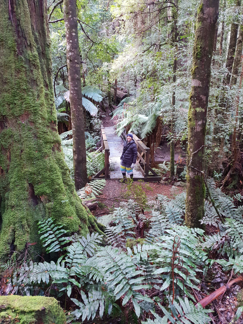
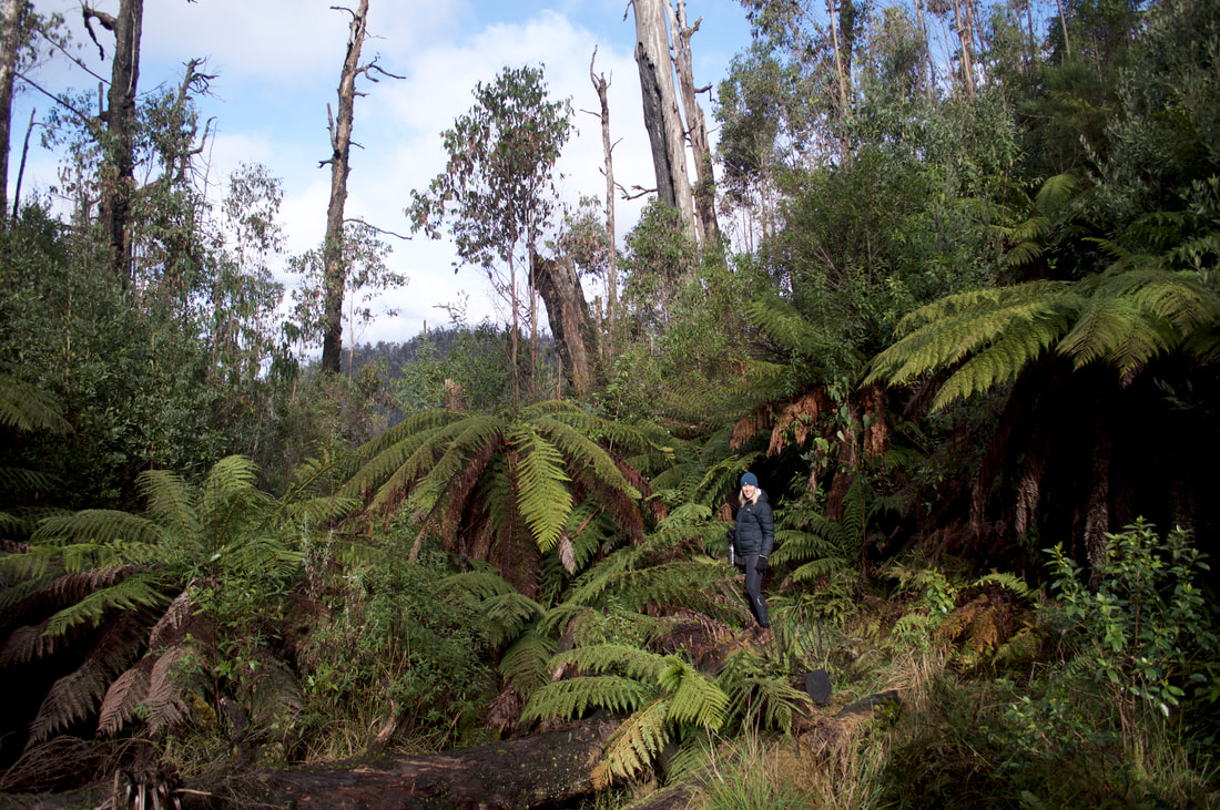
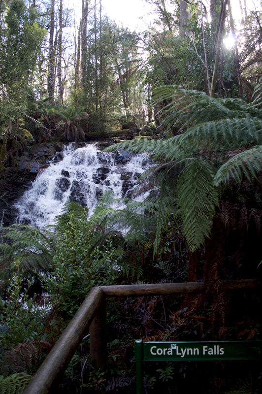
Cumberland WalkThis walk located near the historic township of Cambarville, approximately 20 kilometres east of Marysville on the top edge of the Yarra Rangers was only a 4 kilometre circuit, but had us trekking through magnificent rainforest and bushland. We passed the tallest flowering trees in the world, rare mature-aged Mountain Ash. One of the highlights is 'The Big Tree' a Mountain Ash that has been dated to be about 400 years old and stands an impressive 85 metres high. The height of the Big Tree changes from year to year due to wind damage, but remains the tallest flowering tree in Victoria, if not the Southern Hemisphere. These Mountain Ash trees are second in height only to the California Redwood trees, these of which we were privileged to see in the Great Otway National Park. The walk also took us into a rainforest gorge to Cora Lyn Falls and we marvelled at the views as we glimpsed into the Cumberland Valley.
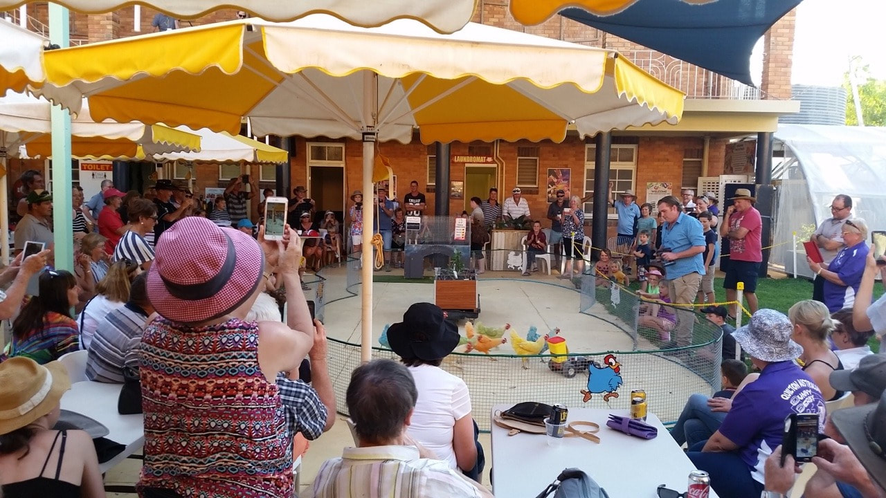
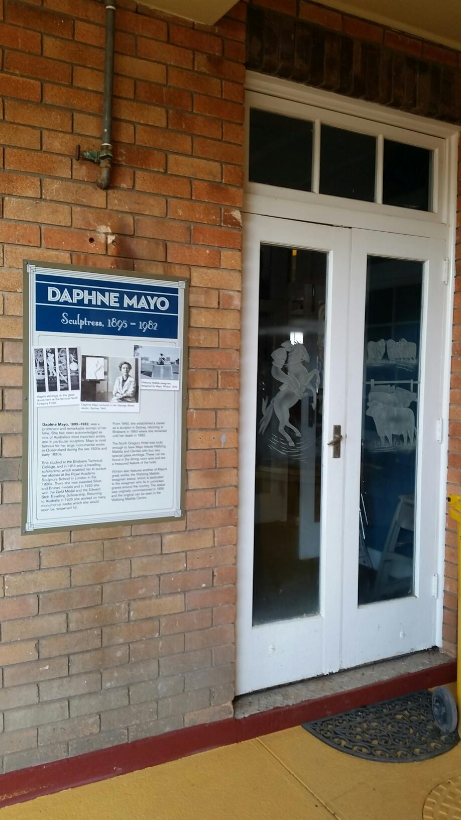
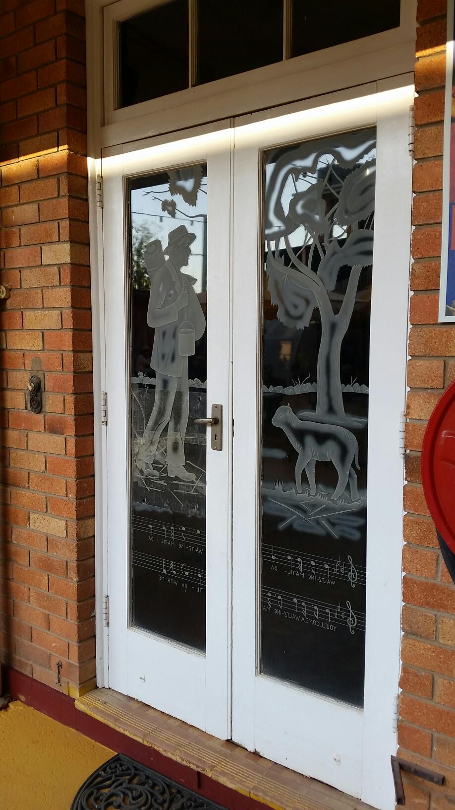
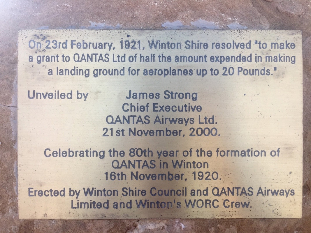
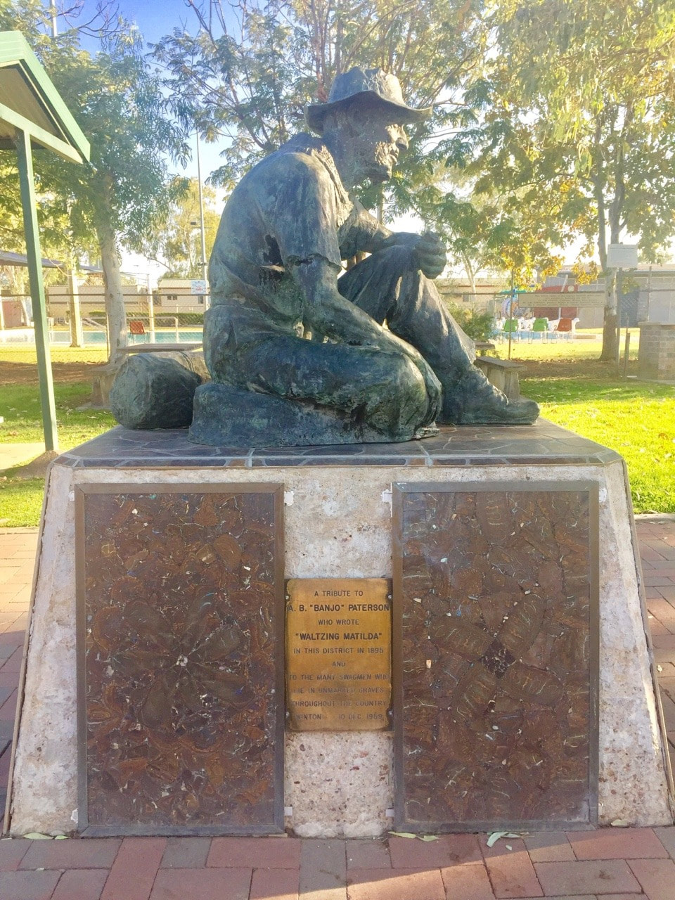
Shovel and I went to a Bush Poet’s breakfast where we were treated to the humours wit of Ray Essery, Neil McArthur and Marco Gliori. Were mystified by an impromptu performance by Mount Isa born Didgeridoo Master William Barton. Watched colourful (apparently it’s just food dye) chickens race around a track winning money for auction winning punters and charity and marvelled at young people whip cracking and iron men and women contestants pulling a truck and pushing a ute. We slept in the back of Cherry at the local racetrack and were woken by beautiful sunrises, hopping kangaroos and galloping horses. We dined at the stunning Art Deco styled North Gregory Hotel with artistic glass carvings by Daphne Mayo and a hydroponic vegetable garden. Winton is an outback opal (pun intended) and we had a beautiful few days admiring the town and enjoying the festivities.
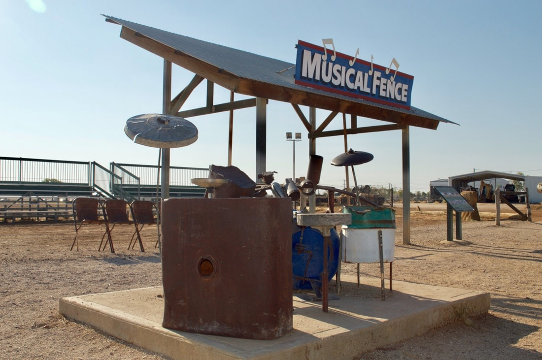
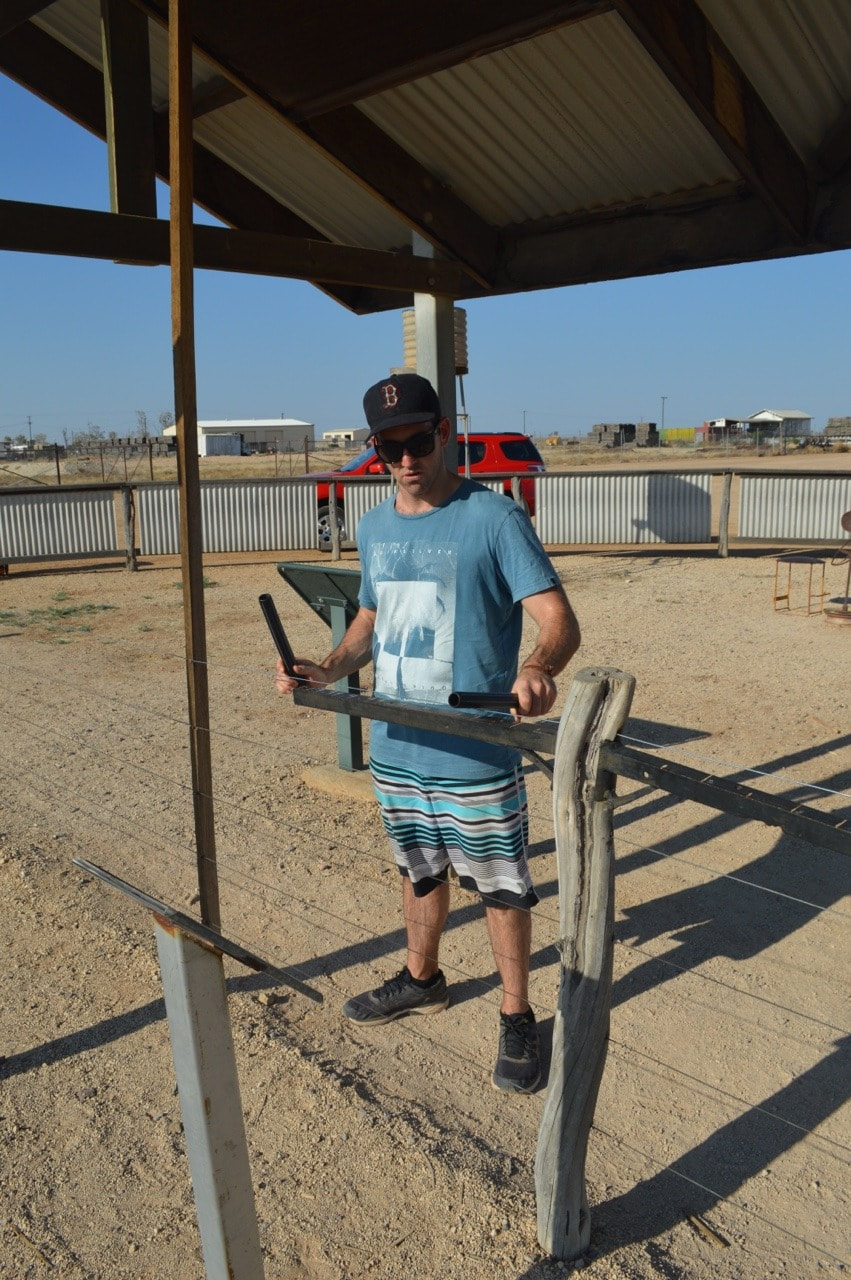
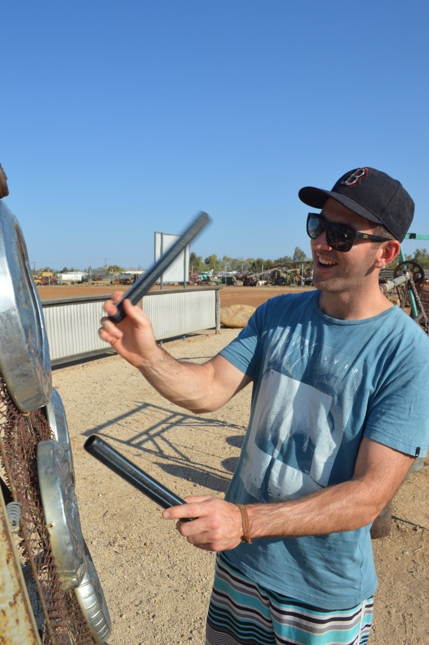
Winton in Outback Queensland, famous for Dinosaurs, Opal Fossicking, Qantas, a Musical Fence and ‘Waltzing Matilda’ 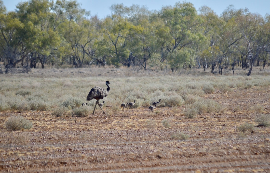
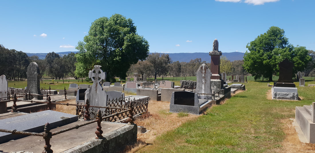
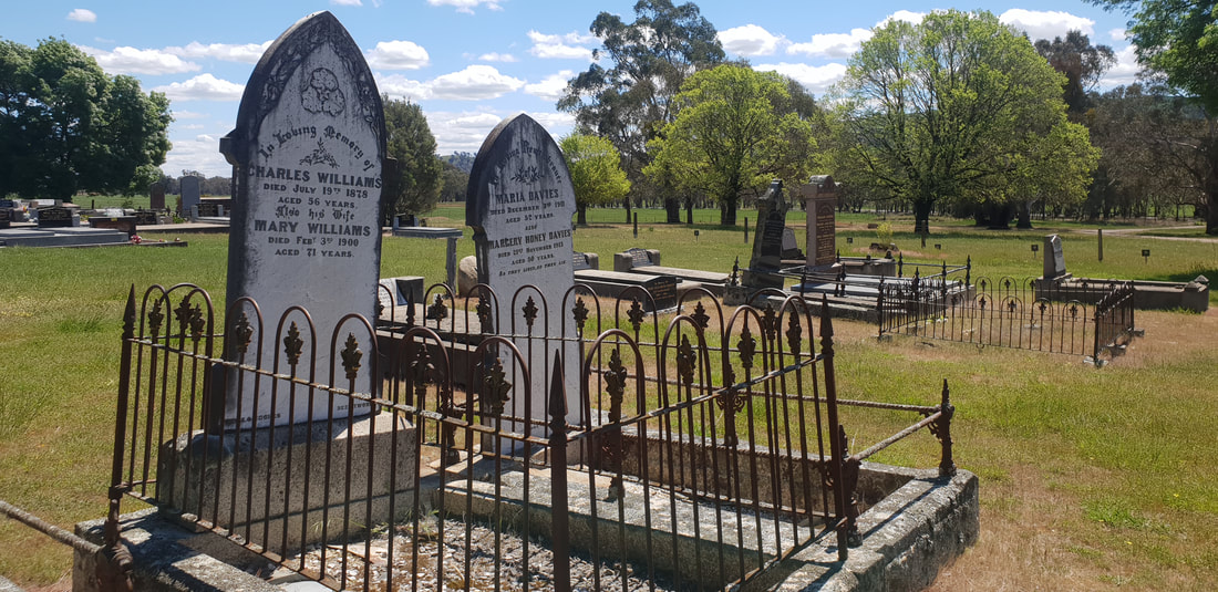
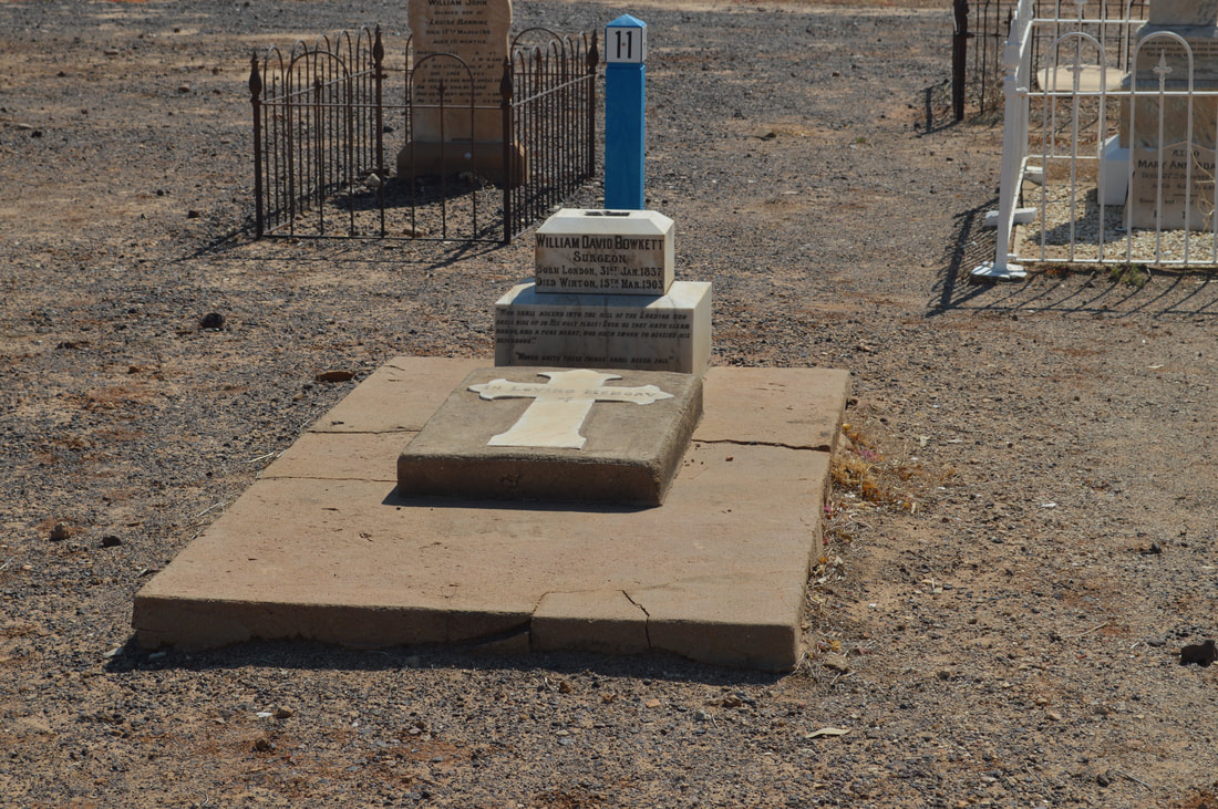
It is said Louisa Lynett one of the first residents of Winton (gazetted in 1879) insisted the streets be widened to accommodate wagon and coaches giving them the ability to easily turn around. Louisa and her husband Thomas are buried in the Winton Cemetery with fellow residents William Butch Edward Hindom a 'Rat of Tobruk’ and Frank Page. Butch and Frank were taken prisoner by the Germans in 1942 and forced to complete hard labour. Frank escaped in 1943 and Butch went on to survive in the P.O.W. camp, which was liberated by American forces in 1945. Both men returned to Winton with Butch living to age 85, passing away in 1999. It is said Frank was one of the only aboriginals to make a successful escape during WW2. Both men and the Lynetts are buried in the cemetery with Dr. William David Bowkett who passed in 1903 and was known for inventing one of the first self-registering thermometers. 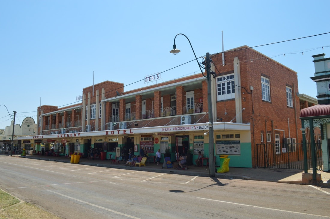
It is said the first ever live rendition of Australia’s adopted National Anthem, by A.B. ‘Banjo’ Paterson, ‘Waltzing Matilda’ was held at the Art Deco inspired North Gregory Hotel in 1895. Although this is hotly contested by The Blue Heeler Hotel in Kynuna, about 160kms North West of Winton that claims to be the site of the poem’s first ever performance. Either way if it were in Winton it wouldn’t have been in the hotel’s current iconic establishment as this is the hotel’s fourth incarnation with previous buildings succumbing to fire.
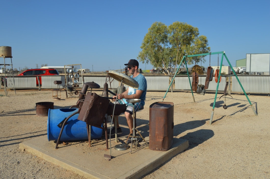
It is said musician Gotye visited the Musical Fence whilst on tour and prior to making the bigtime with the hit 'Somebody that I Use to Know’ added samples of recordings made at the Fence in his song 'Eyes Wide Open.’
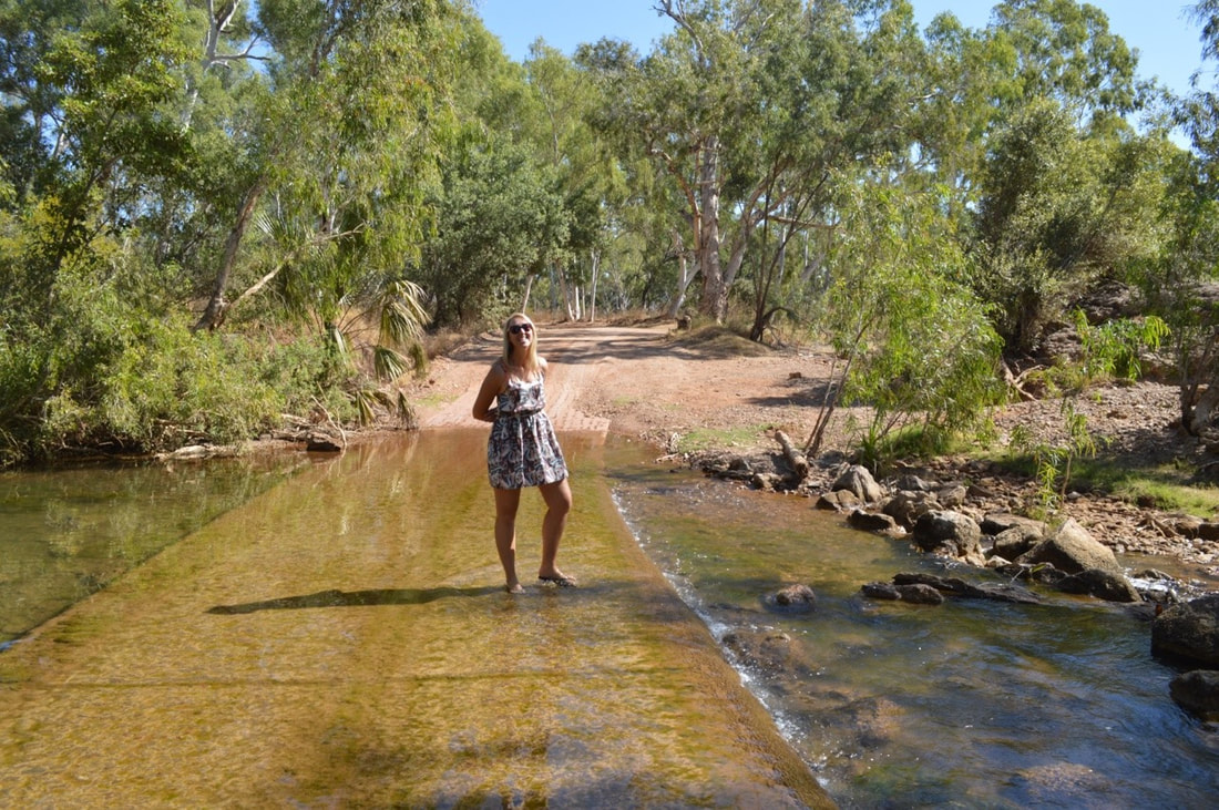
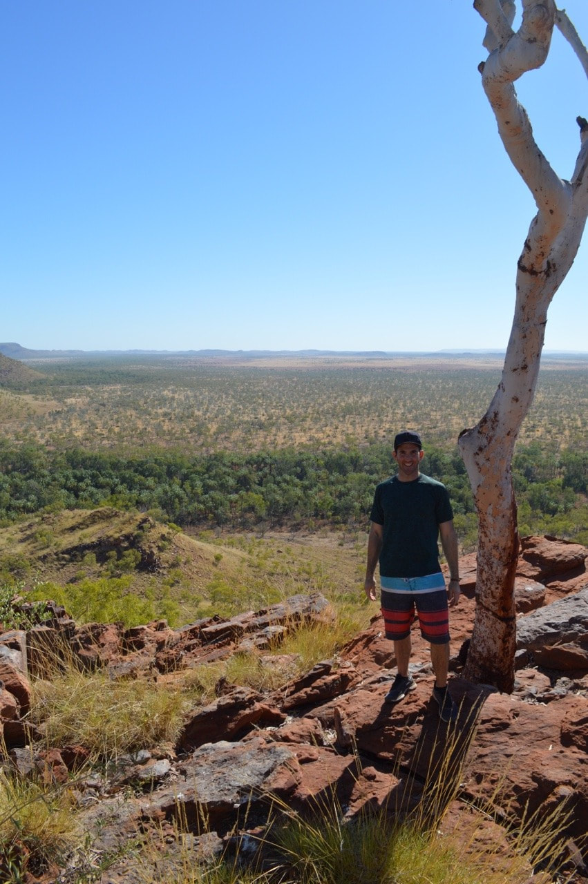
Driving to the National Park you cross the river in three places. It’s awesome, but we were slightly nervous crossing these in Cherry, then we spoke to a Grey Nomad that crossed the fast flowing water towing a large off road caravan…. they almost lost the van as it slide off the road… we had nothing to worry about…
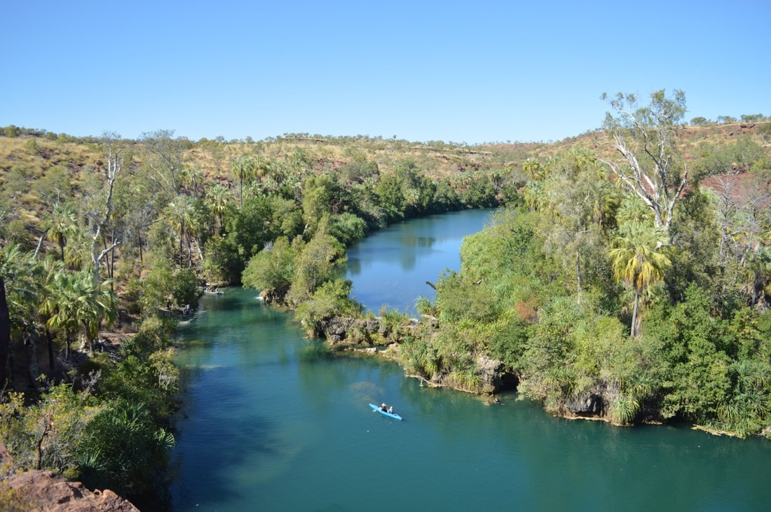
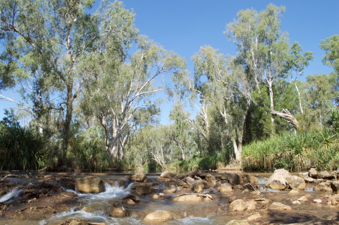
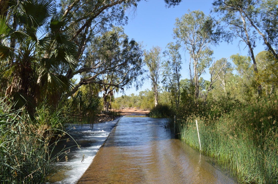
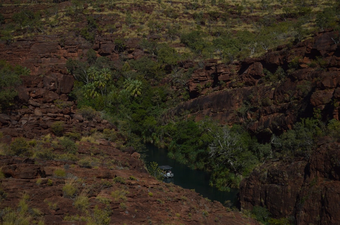
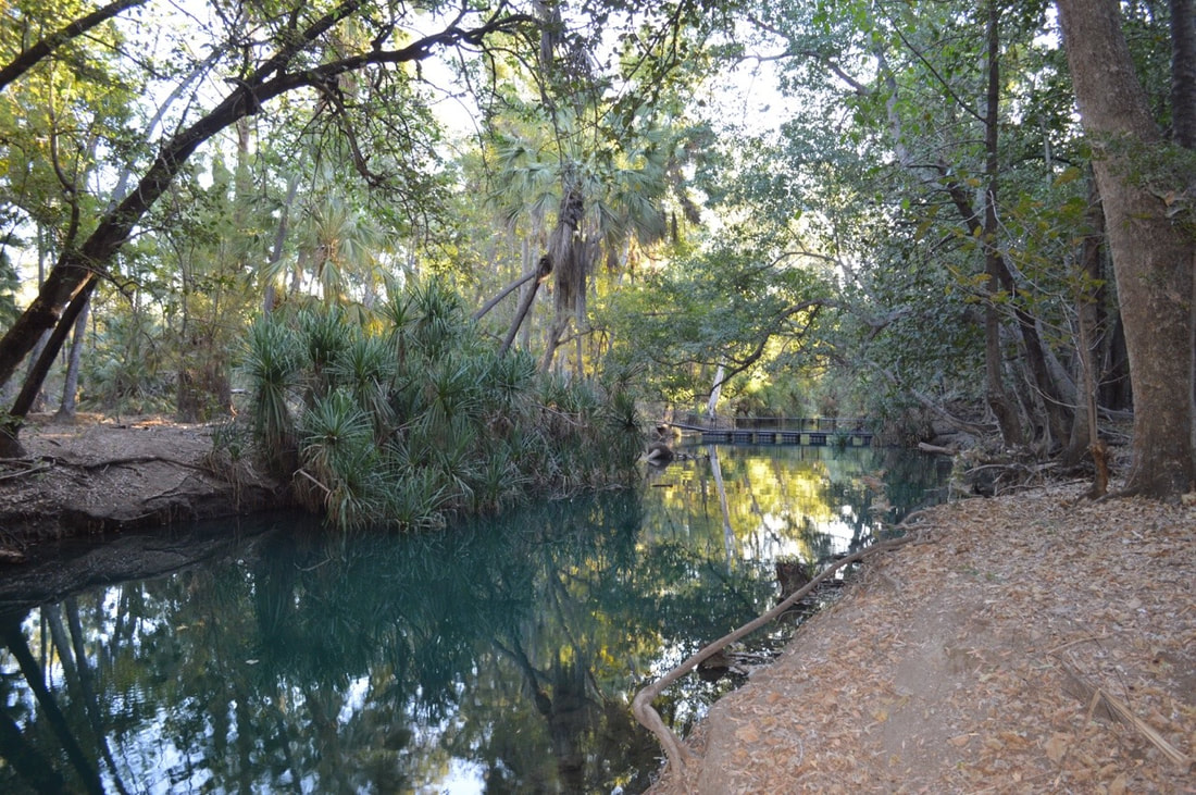
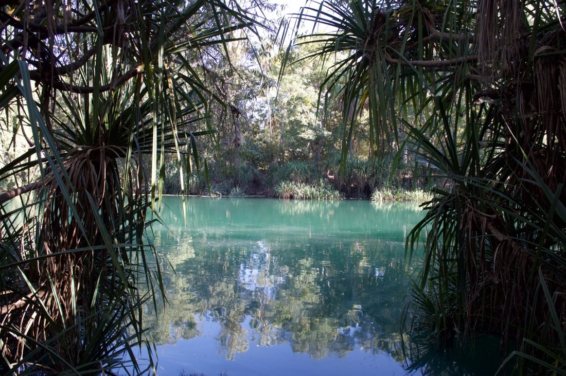
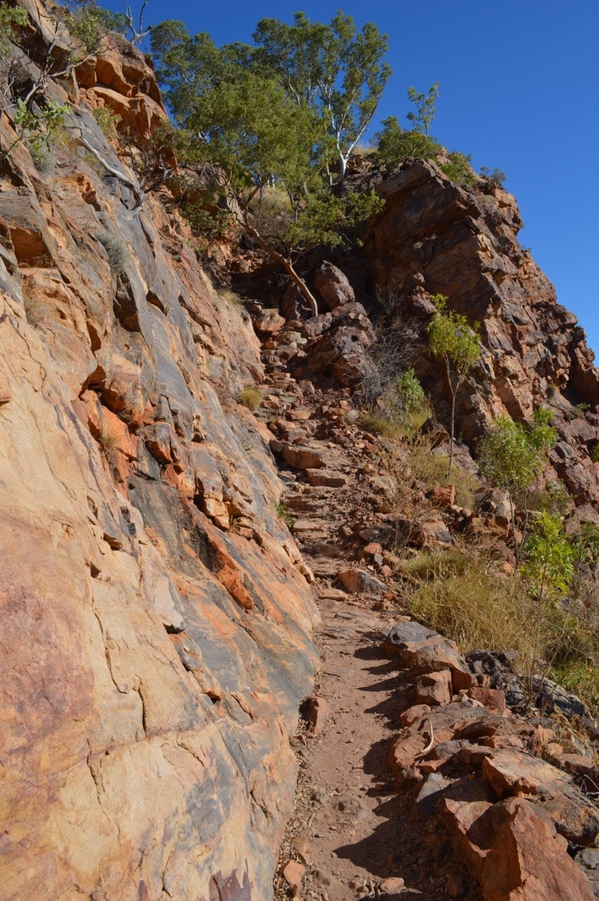
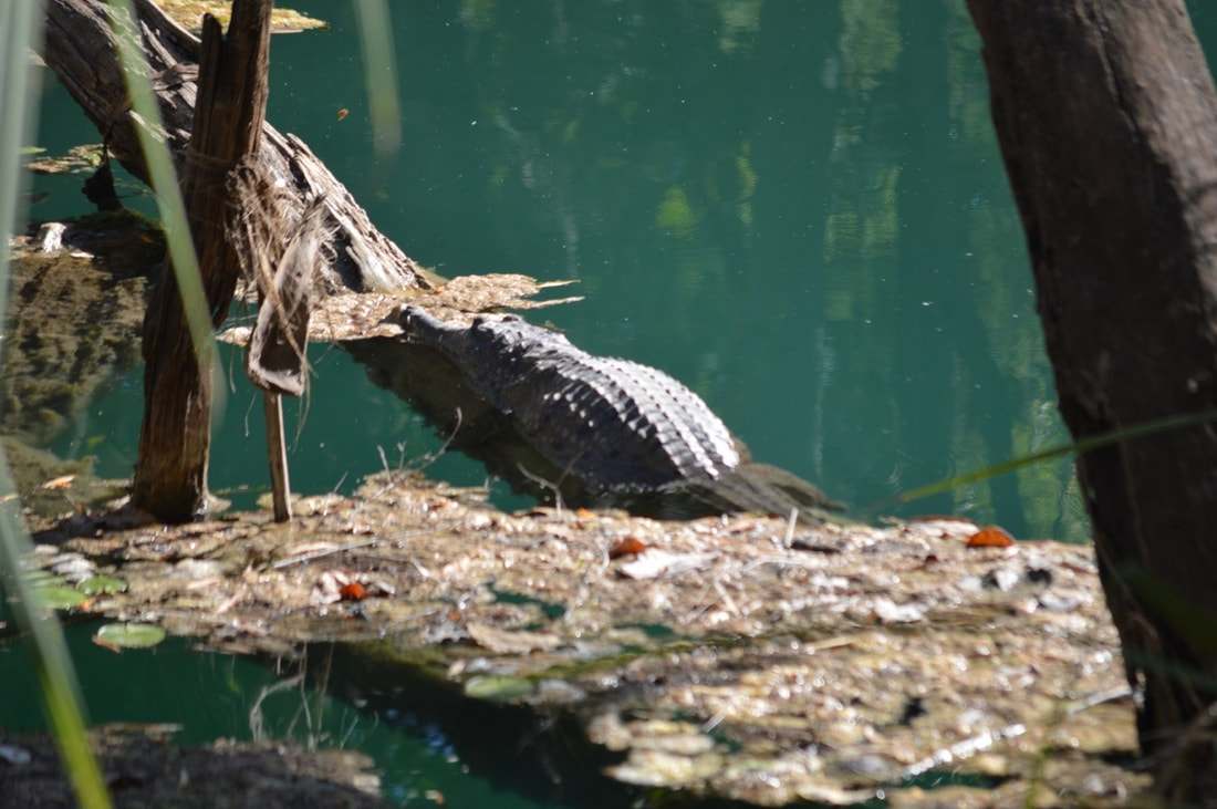
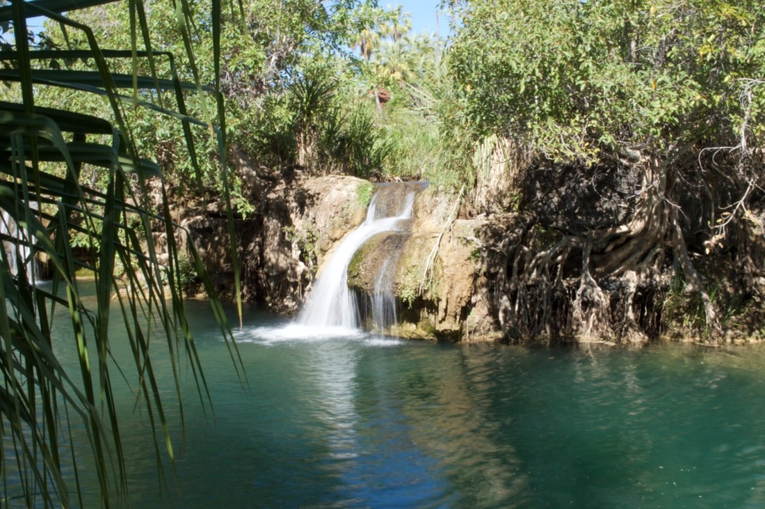
The visually stunning Lawn Hill National Park is incredibly geologically significant. Originally formed about 1560 million years ago in the Proterozoic era the gorge and range that we see today were sand and lime deposits in a shallow inland sea. Over time the water has continuously evolved the area, eroding the sandstone and limestone and depositing with it calcium carbonate or calcite to form a porous brittle rock known as tufa.
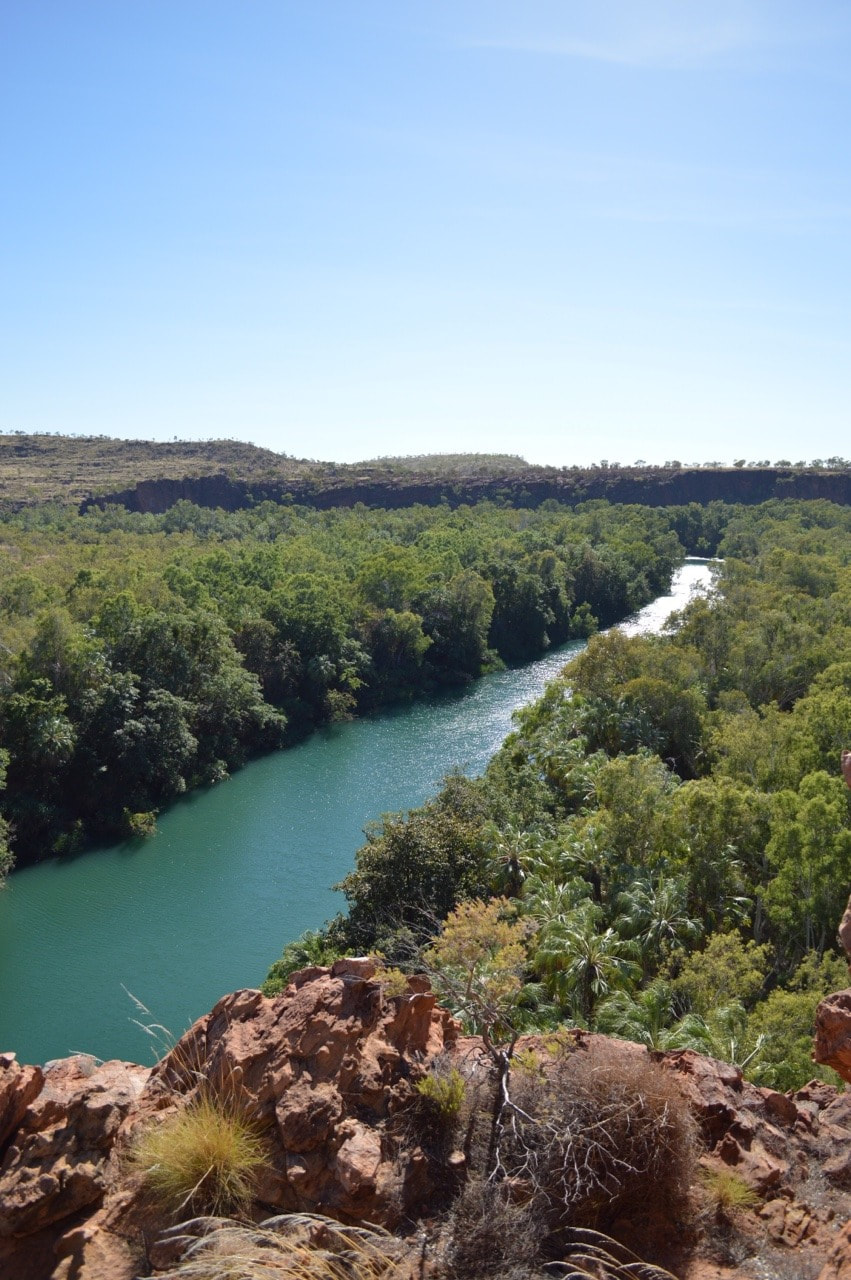
 Named in 1861 after Augustus Gregory, the first Surveyor General of Queensland by explorer William Landsborough, who discovered this year round flowing river whilst leading an expedition to find Burke and Wills.
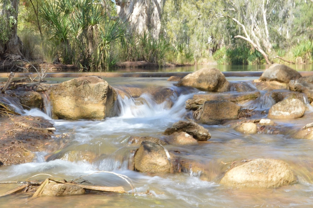
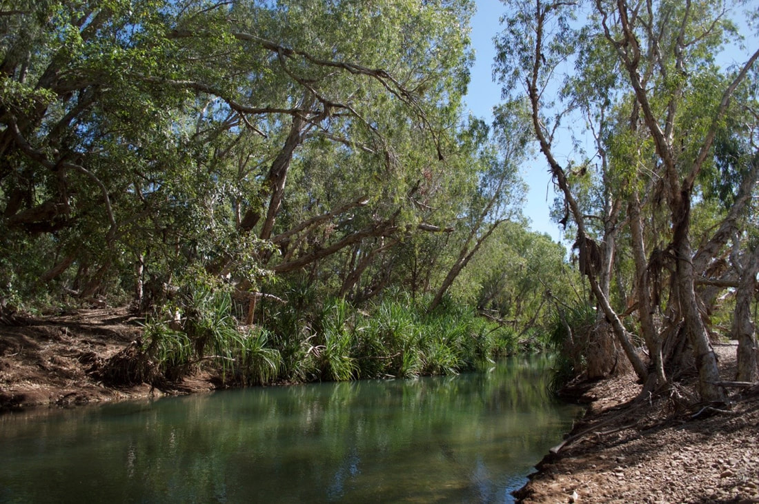
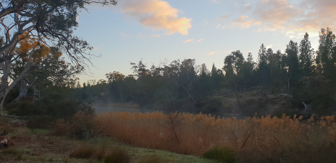
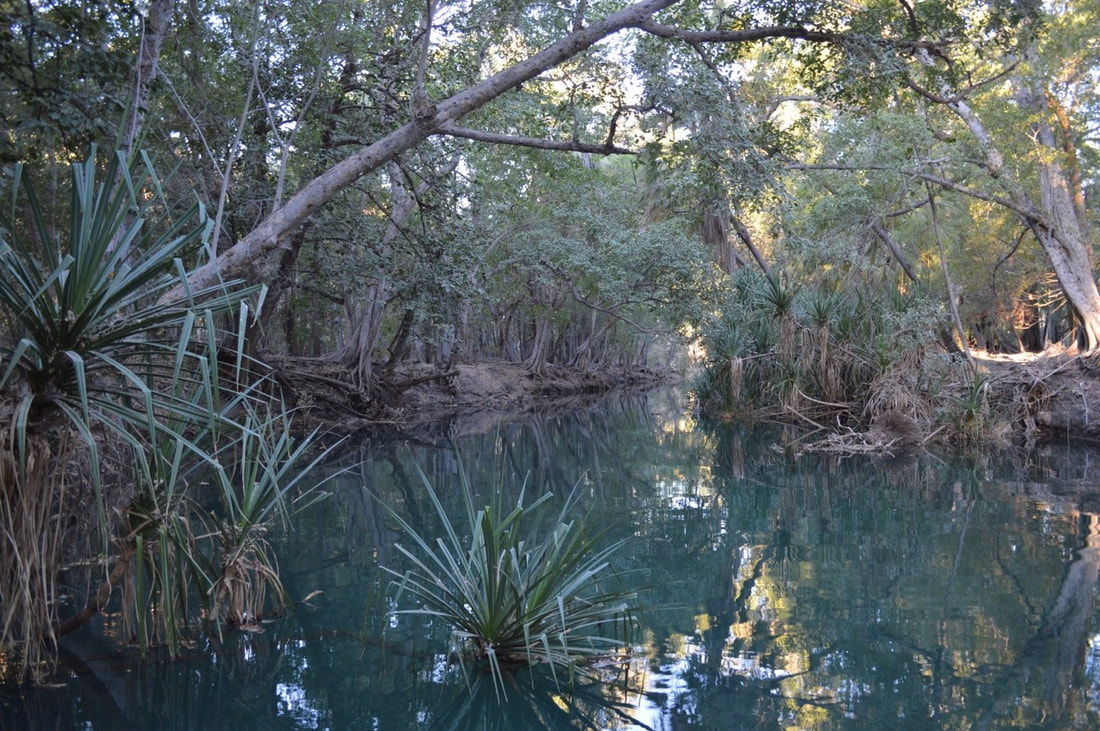
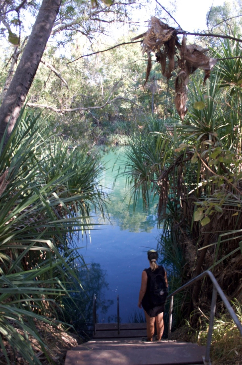
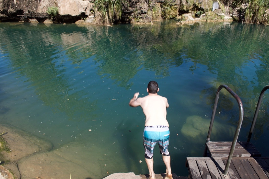
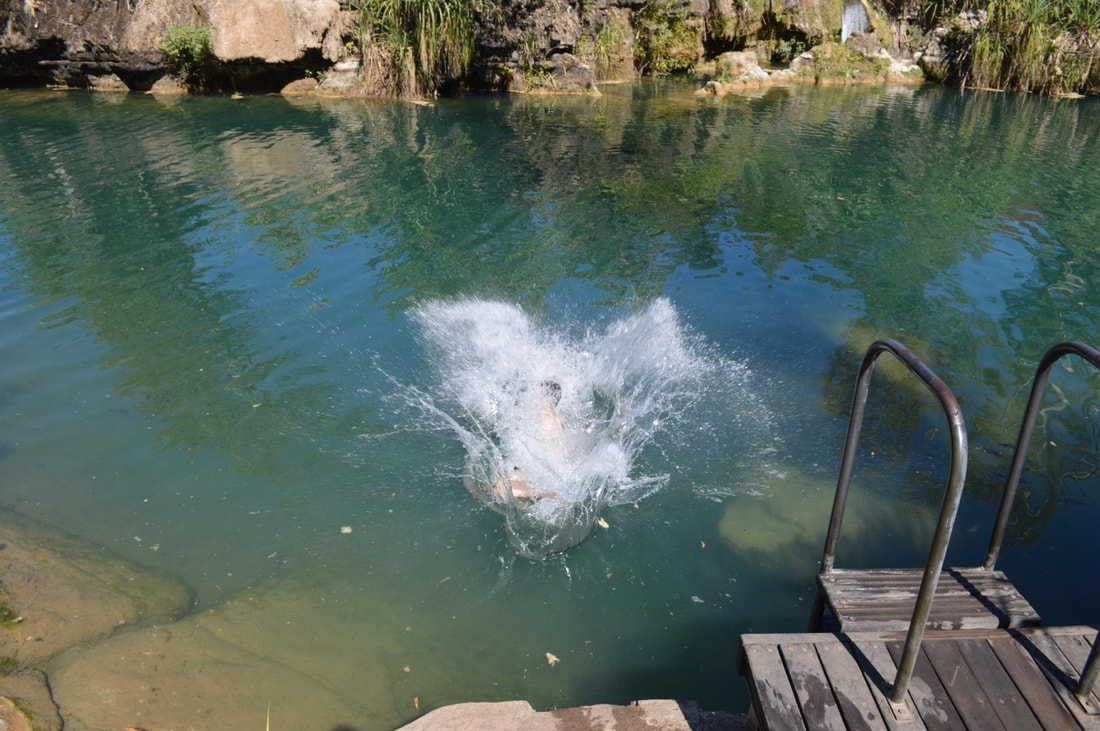
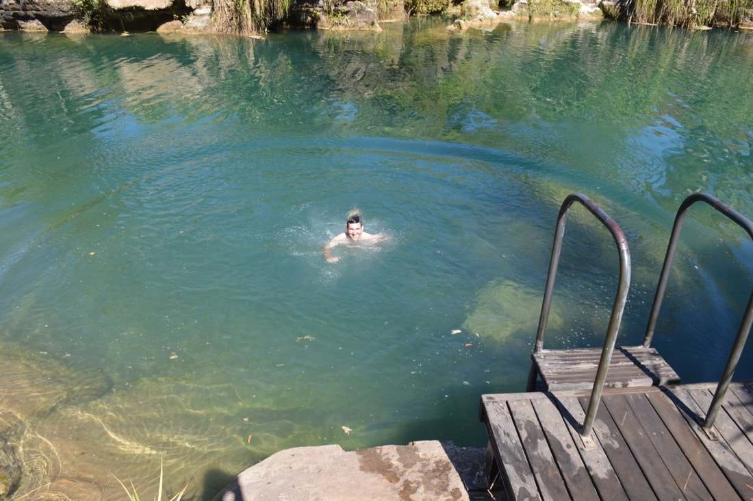
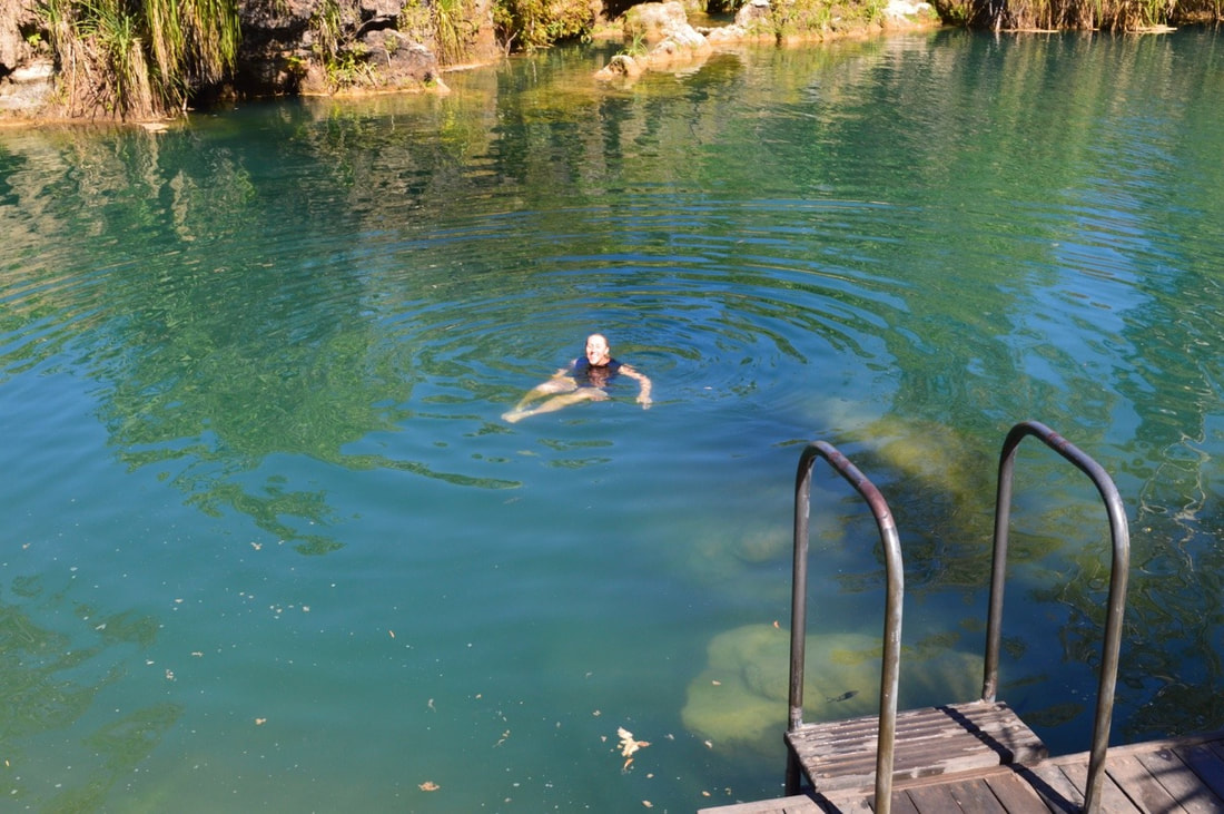
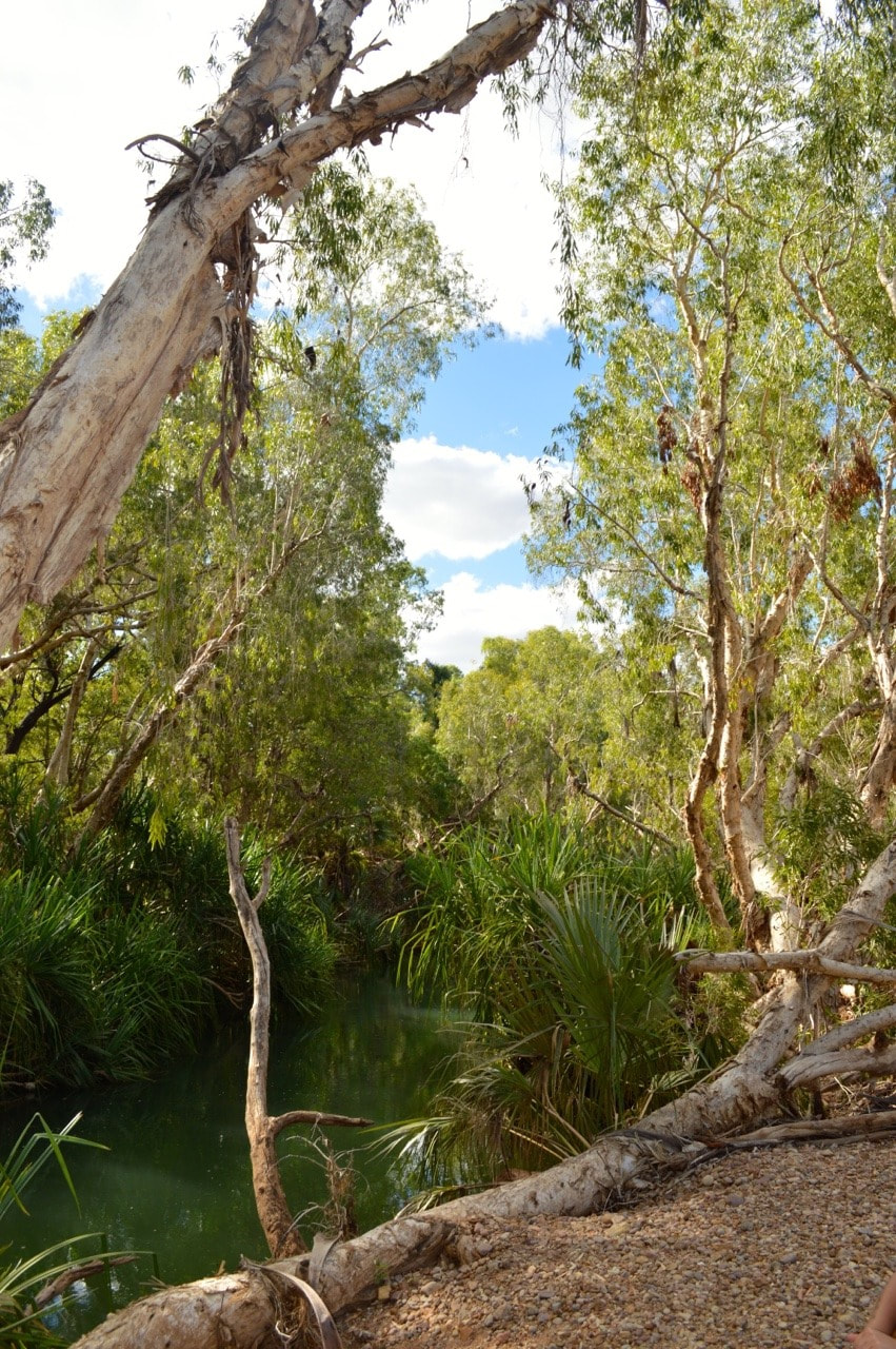
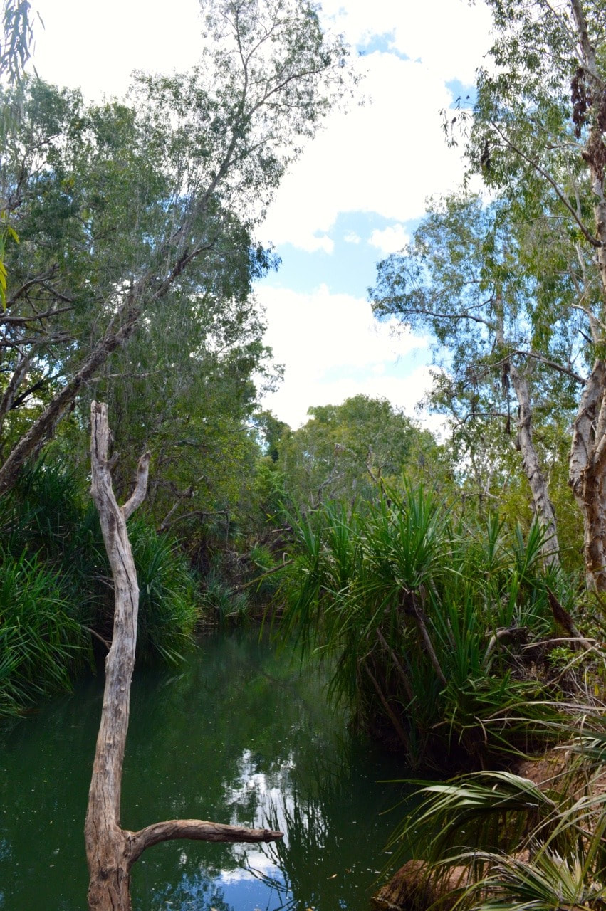
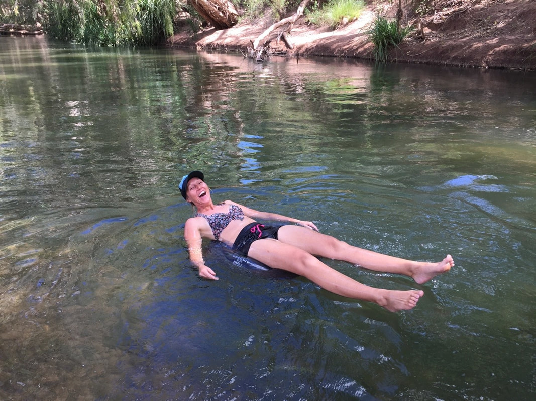
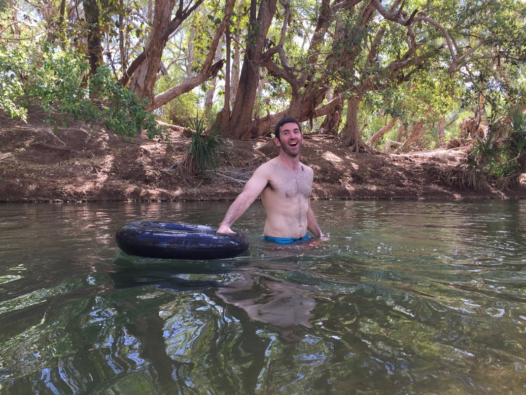
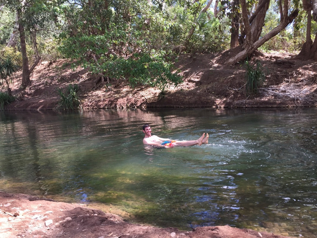
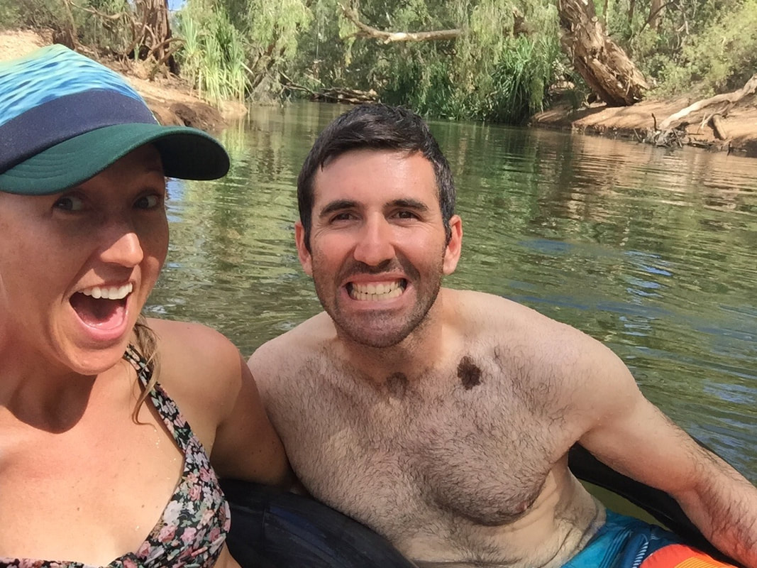
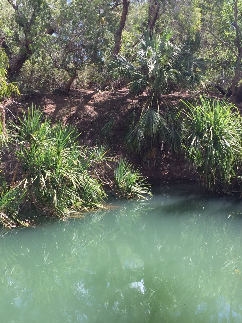
The Gregory River is fed by a limestone spring, which is connected to water systems in Papua New Guinea, the river is a truly magical place that serves as a major water source to surrounding properties and native bird and animal life. Shovel has fond memories camping up here as a kid, but this was my first time. You can’t help but immediately feel relaxed standing by the cool, clear gently flowing water, while surrounded by prehistoric looking pandanus palms. We floated down the river on tyre tubes and had a laugh with a crew of people from Julia Creek camped a bit further upstream.
Peace | Love | Vagabonding |
The JourneyChoose Curiosity The Catalogue
November 2023
The Tags
All
|


 RSS Feed
