|
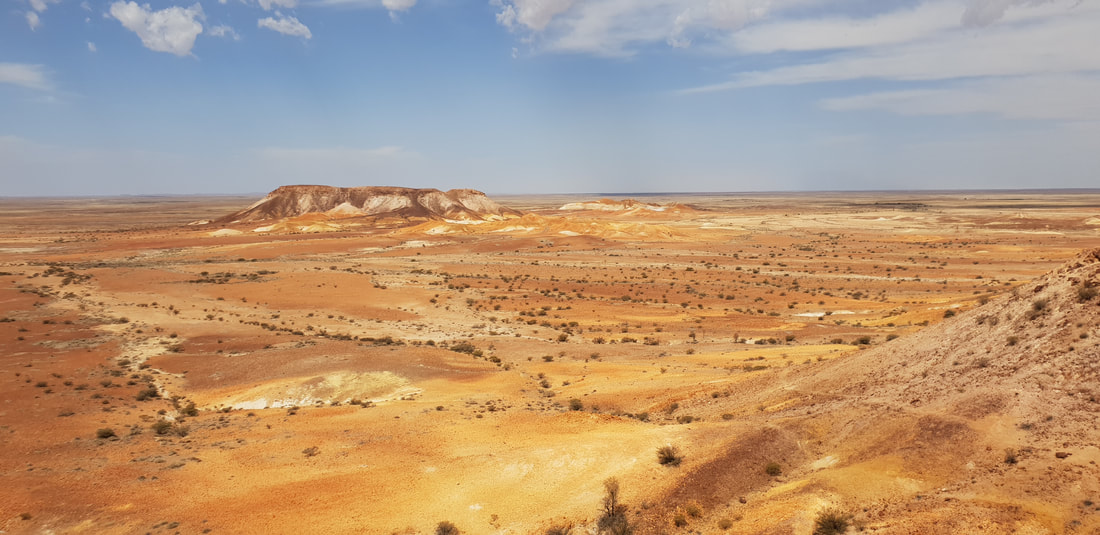
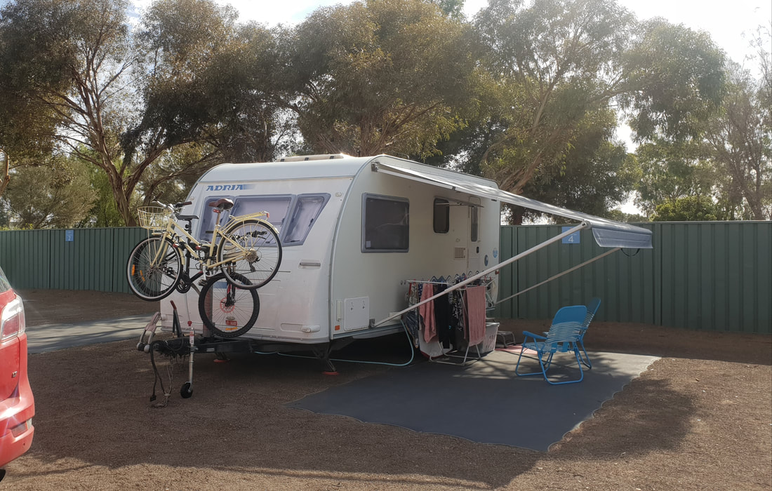
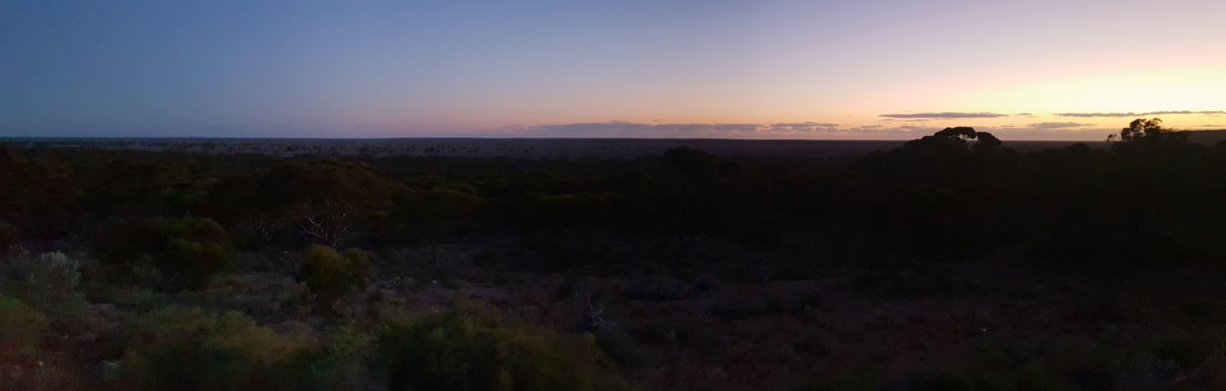
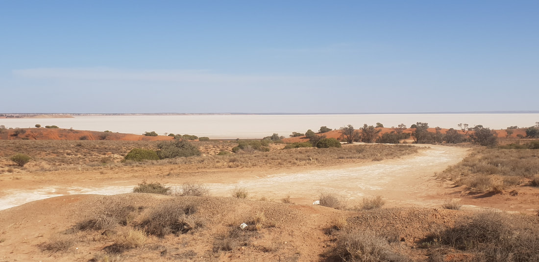
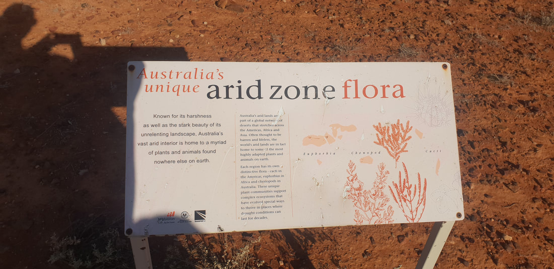
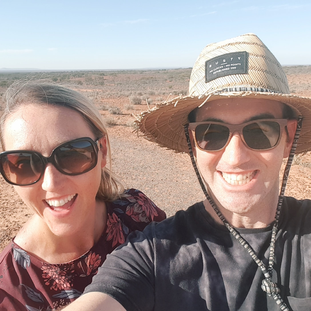
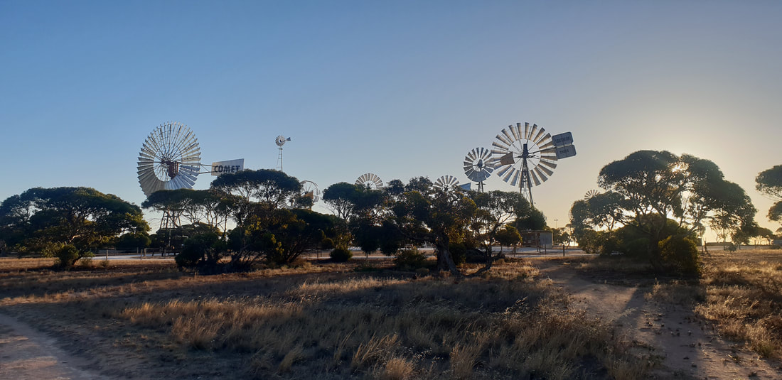
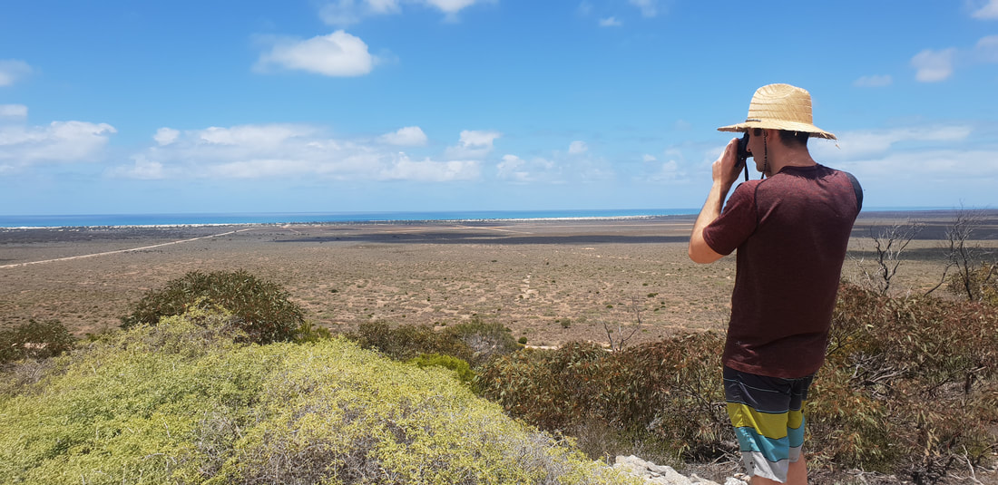
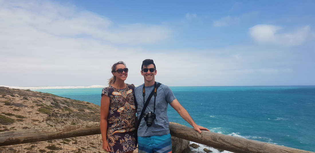
The indigenous peoples of the Mutuntjarra and Antakirinja traditional groups have lived and hunted on these lands for thousands of years. Today jasper and silcrete stone tools can still be found in the area, of which holds cultural significance as a teaching place for young watis (men). As such the cultural story of the area remains closely guarded yet some aspects are known. The area prior to European settlement was called, Umoona, named after the local mulga tree, that means ‘long life’. The flat-topped mesas and rocky outcrops amongst the landscape represent in indigenous culture animals, that include the Ungkata (breaded dragon lizard) and Kalaya (emu). Tudu (red ochre) used for ceremonial body decoration is sourced in the Kanku, which is located about 30 kilometres north of Coober Pedy. These protected lands were once an inland sea, now home to about 60 native flora species and a variety of birds and wildlife including the fat-tailed dunnart and red kangaroo. The colours in the landscape are breathtaking and incredible to witness in person. 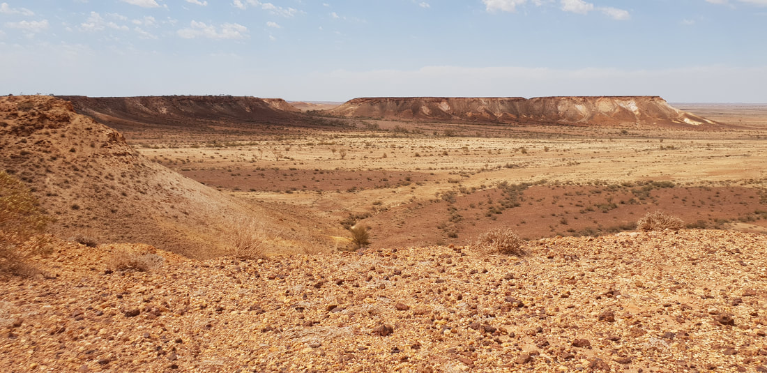 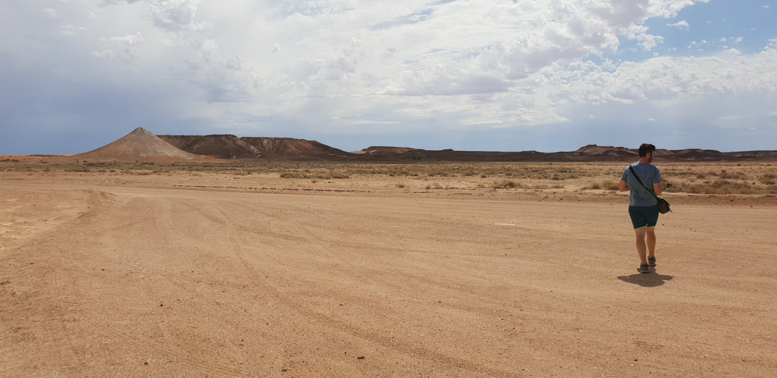 Wati the owner of the two dogs 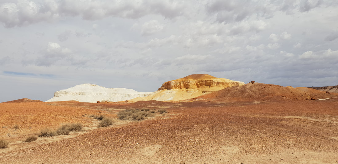 Two dogs (papa) sitting - one yellow, one white
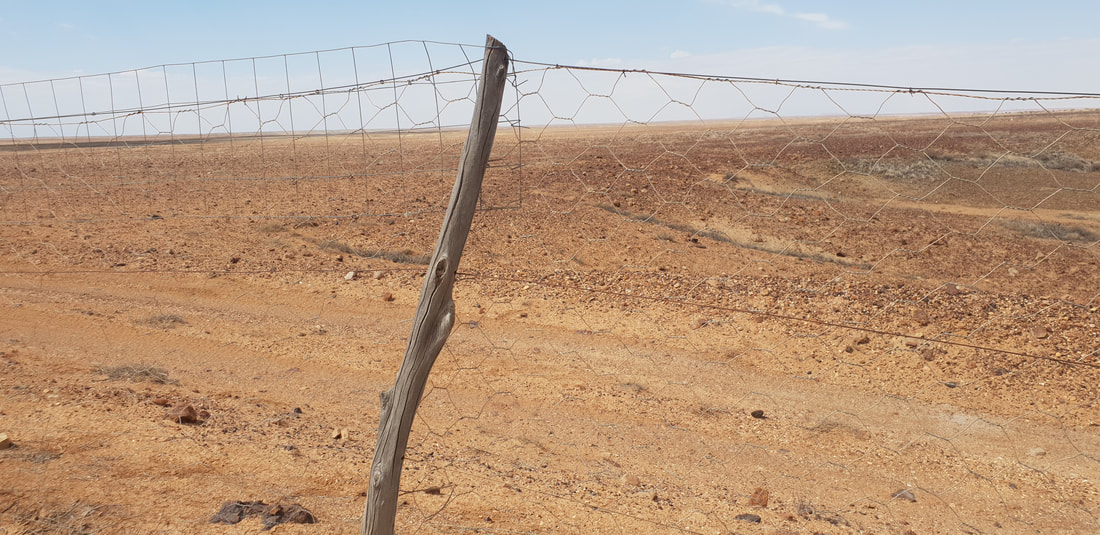
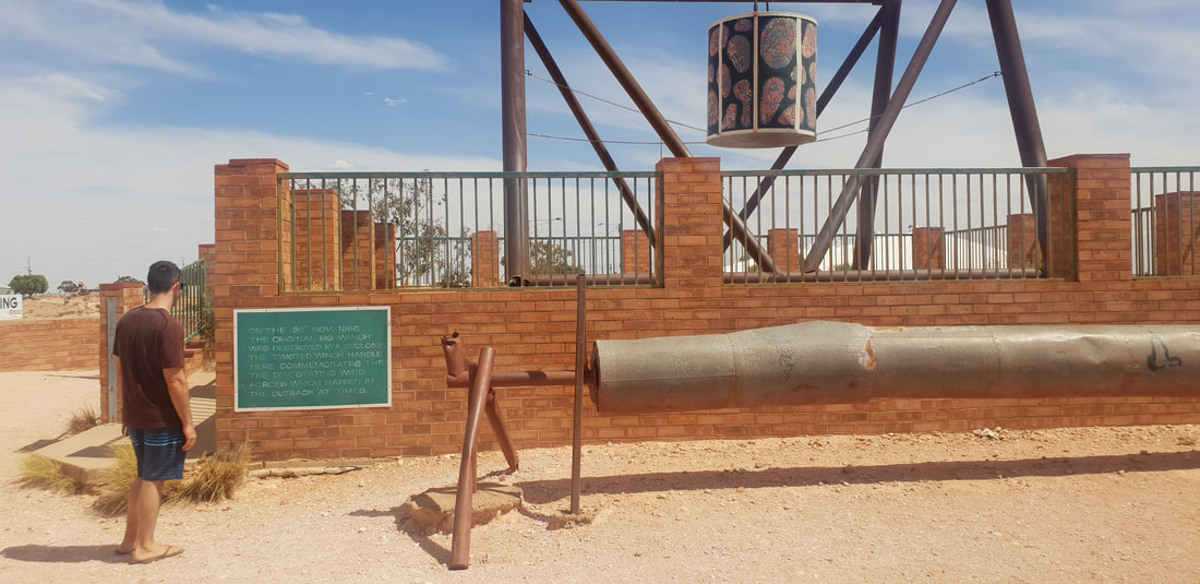
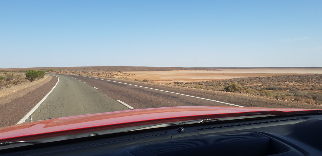
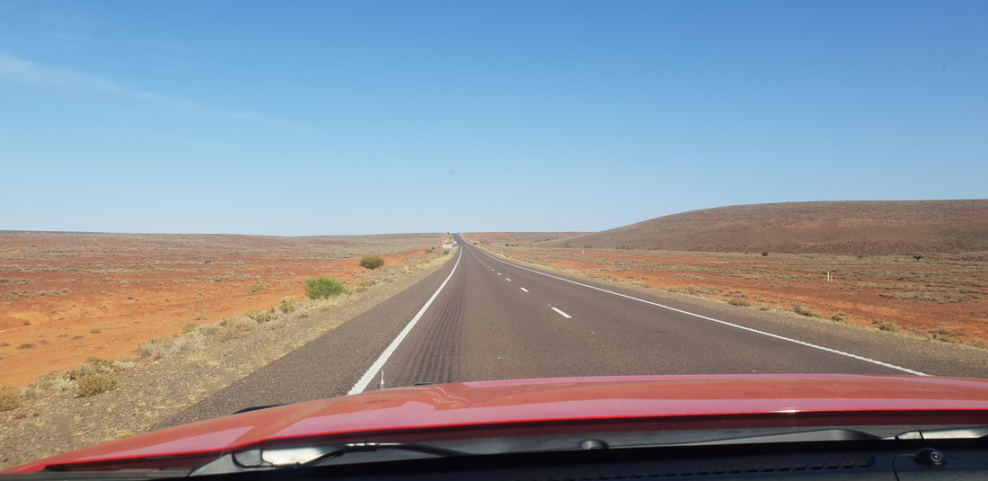
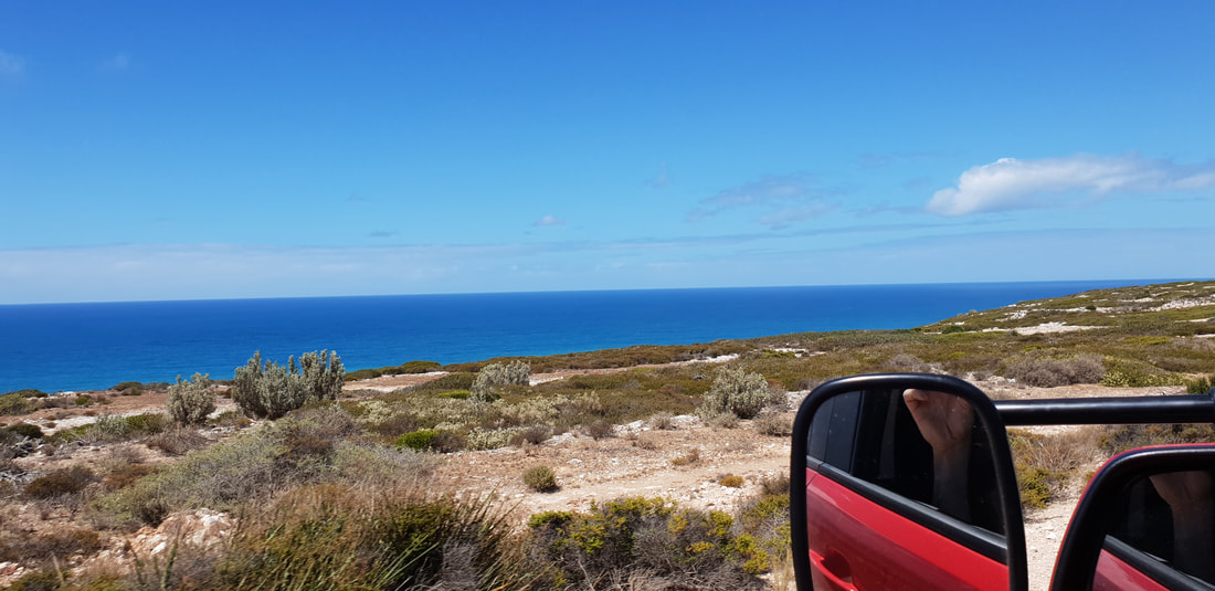
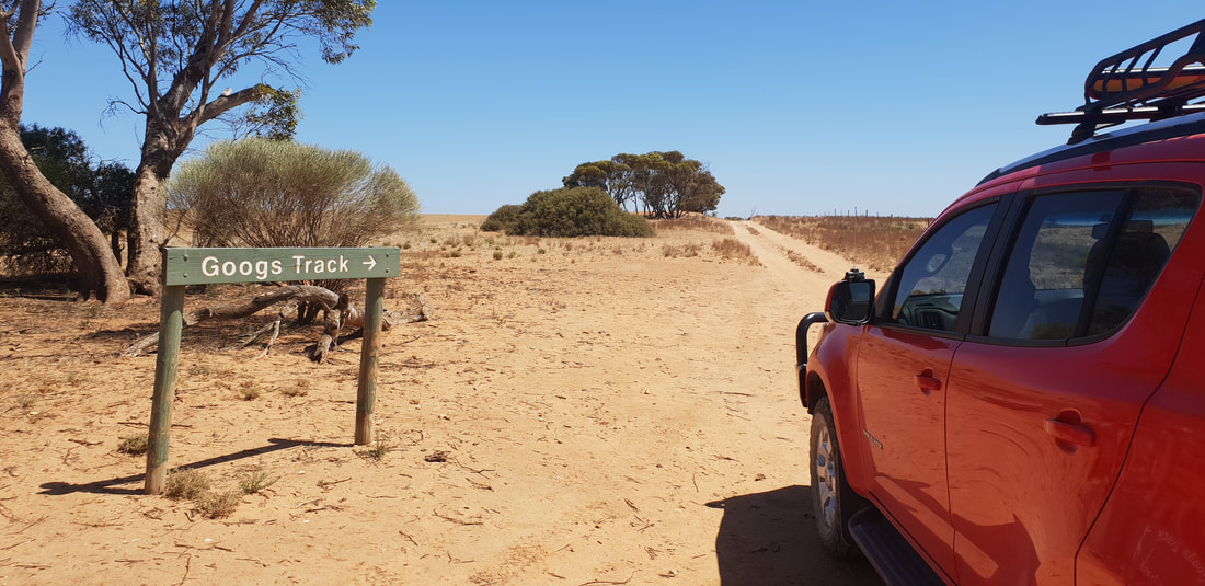
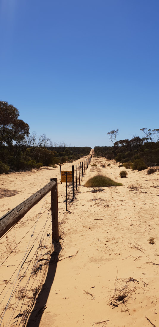
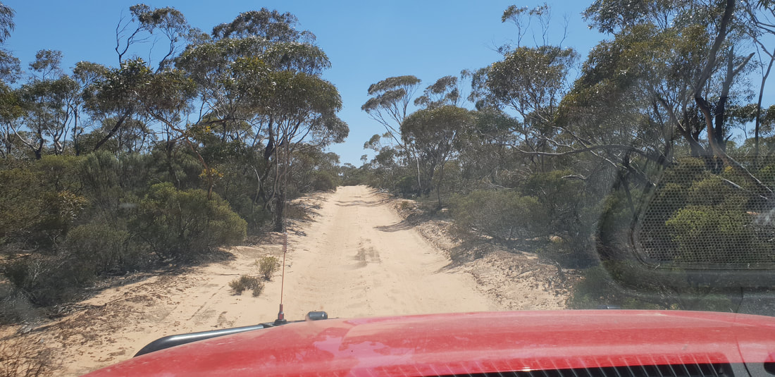
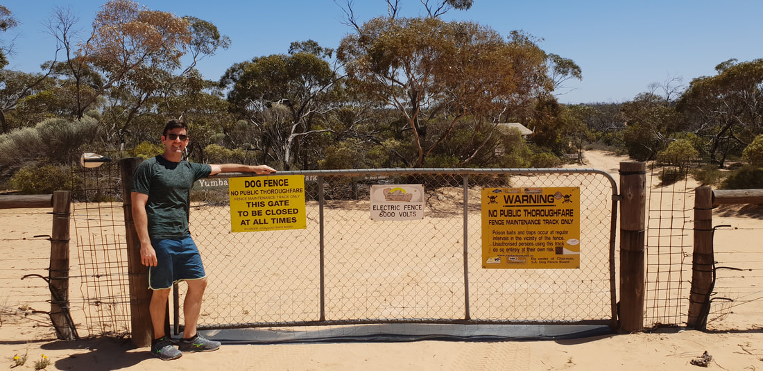
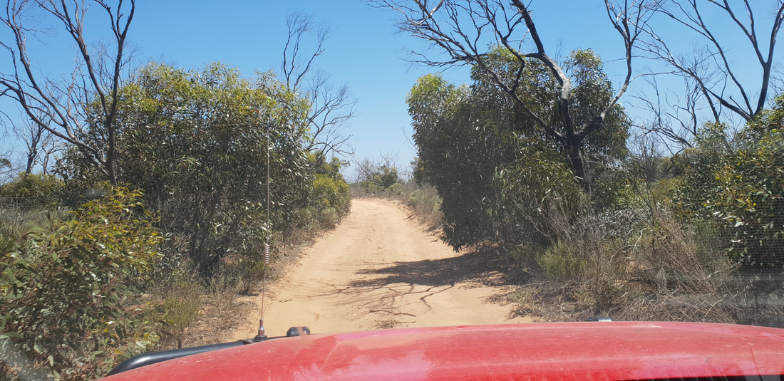
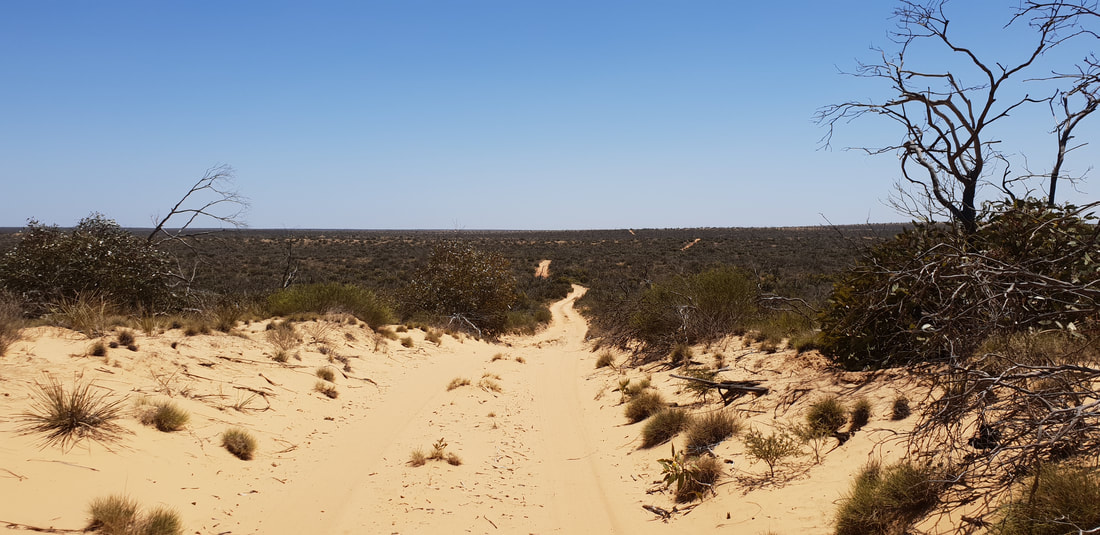
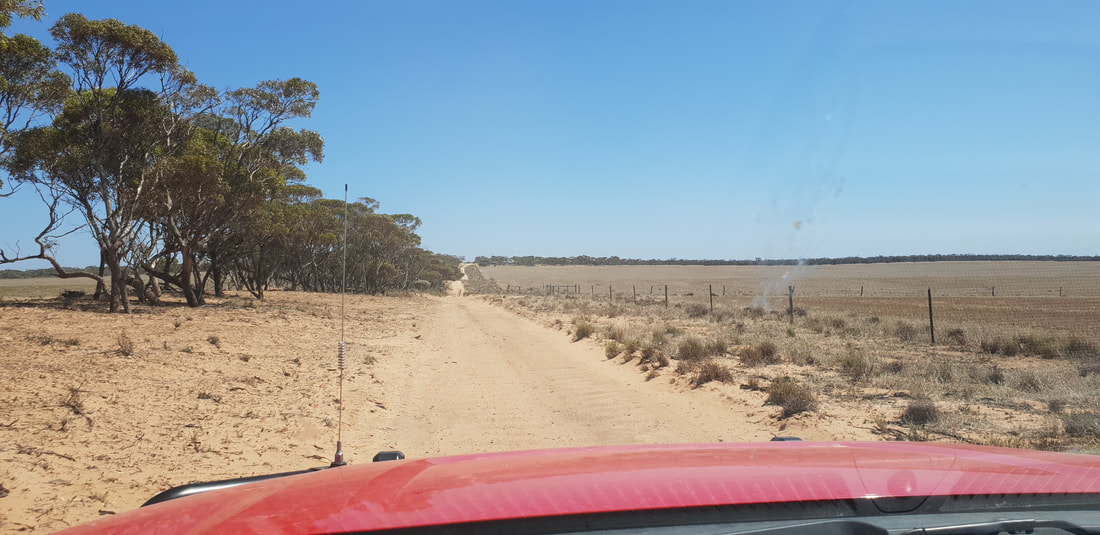
 Dog FenceThe longest fence in the world, spanning 5,614 kilometres, was originally built in the 1880s to keep rabbits out of the south-eastern region of Australia, however, was updated in 1946 to exclude dingoes, after settlers who had started to use the area for grazing in 1941 experienced many sheep losses. The fence starts at Nundroo near the Great Australian Bight and extends all the way through South Australia along the New South Wales border into Queensland, ending near Dalby in the Darling Downs. The ‘Dog Fence’ as it is commonly referred runs along the edge of the Kanku-Breakaways Conservation Park, and we were able to drive along it on our way back to Coober Pedy. Whilst staying at Ceduna we took a trip to see the ‘Dog Fence’ along the Googs Track at Yumbarra Conservation Park. 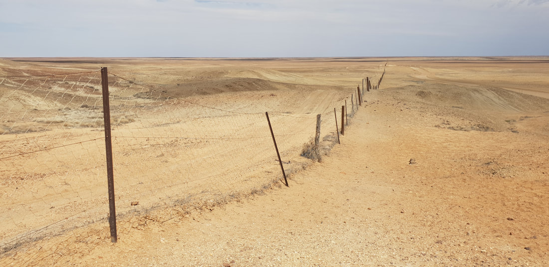
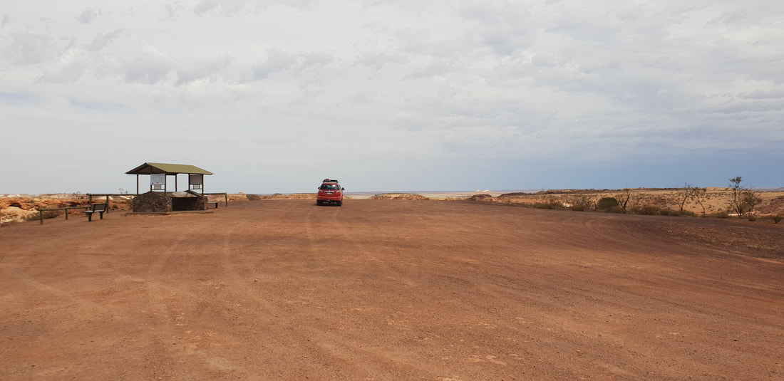
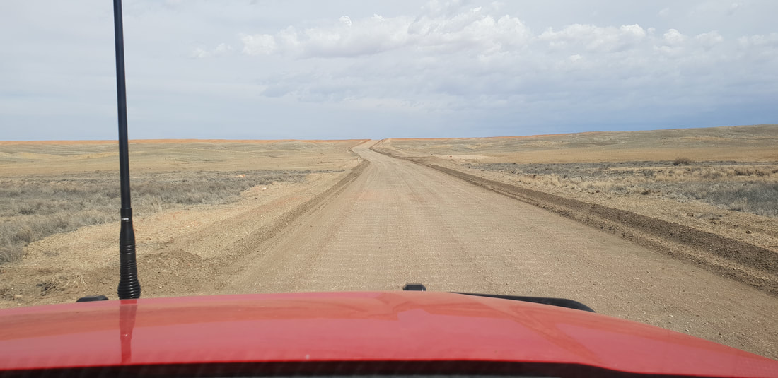
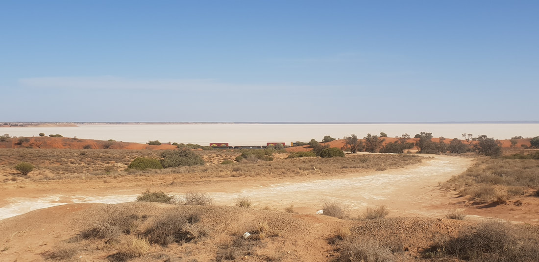
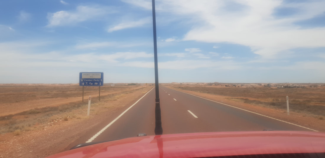
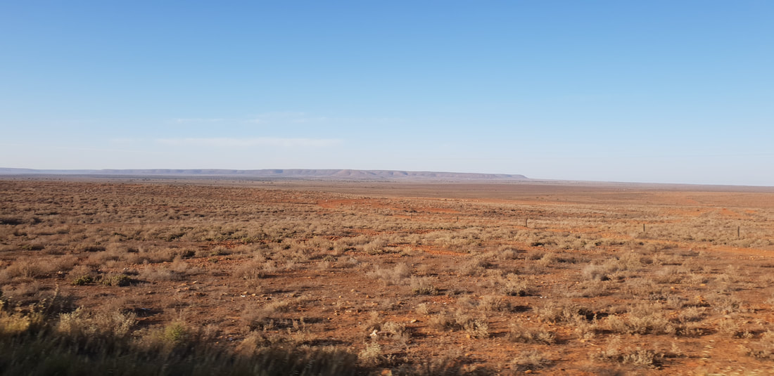
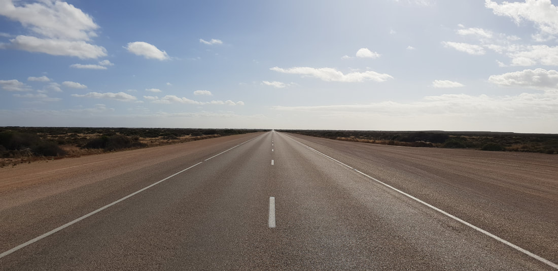
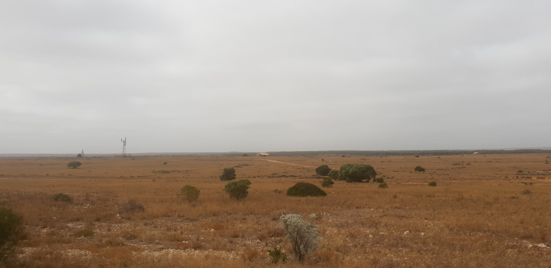
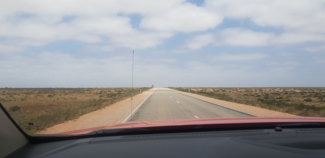
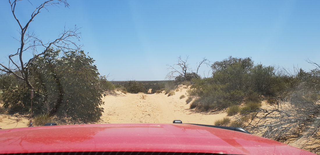
 The area known as Moon Plain
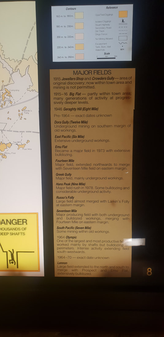
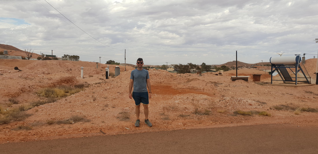
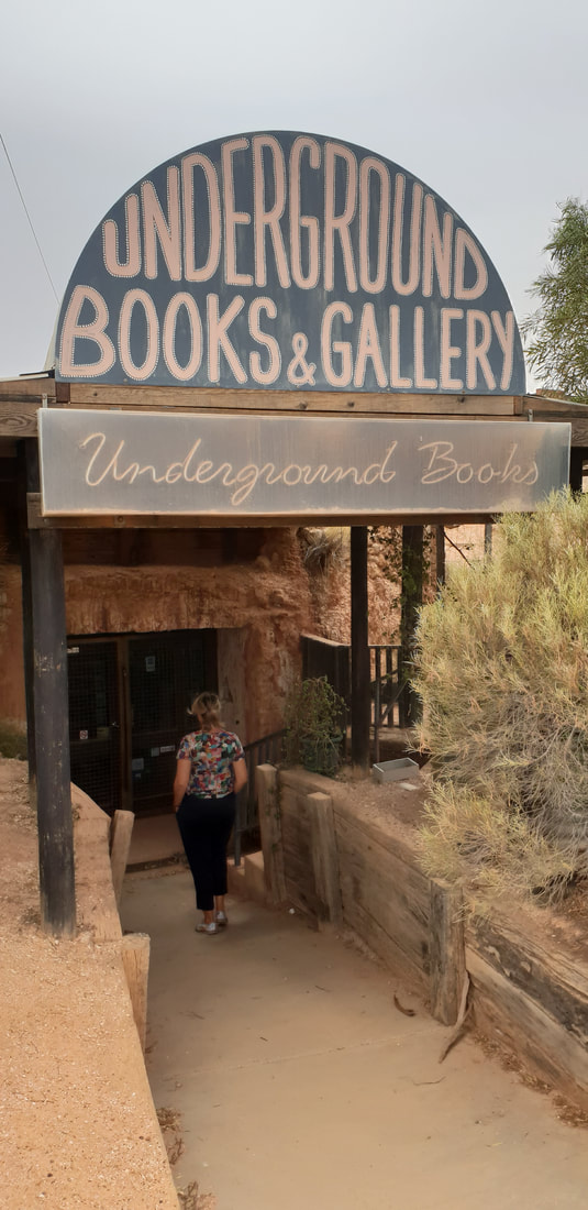
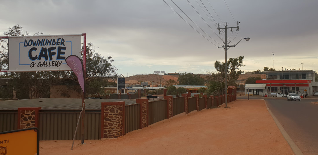
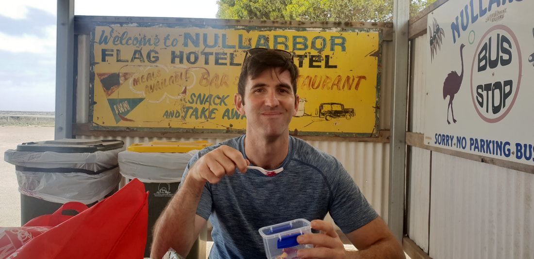
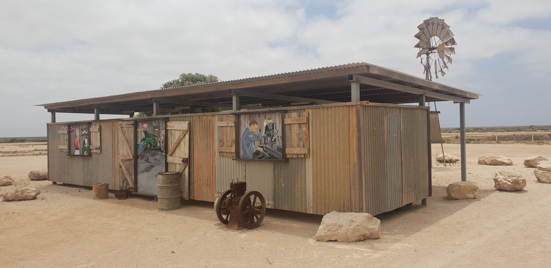
Around TownKnown as the opal capital of the world because Coober Pedy produces more stones by mass, opals found in Coober Pedy are often of the crystal variety of which the base colour is transparent or translucent. The more fiery or intense the colours the more value in the stone. Australia produces roughly 95% of the world’s opals, opals found in Lightning Ridge in Queensland are of a higher quality than that of Coober Pedy. Opal mining is extremely demanding as about 85% of the opal found, called potch, holds no colour and is therefore of no value. Opal mining began in 1915, however the opal mining boom occurred much later in the 1970s after an influx of European migrants fleeing war-torn countries ventured to the region to stake their claim. Surprisingly we were treated in Coober Pedy to an awesome IGA that stocked all our favourite health food products including kombucha that we were very grateful for. We also dinned out the local bakery recently revamped by a couple from Adelaide and the local pizzeria. We absolutely loved visiting Coober Pedy, despite the heat (we were there in mid-Summer) the atmosphere was welcoming and our curiosity was tickled as we ventured throughout the town, into the underground shops and marvelled at the hard work endured by the pioneering migrants who toiled in challenging and often dangerous conditions to make a living.
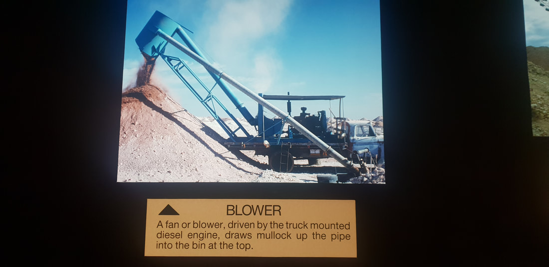
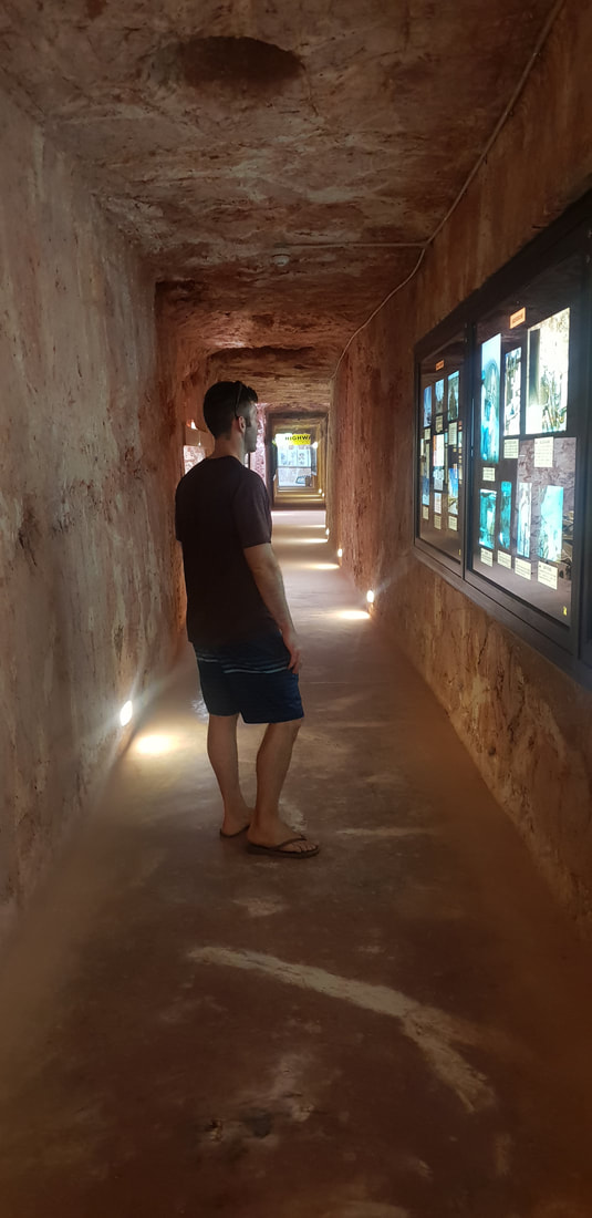
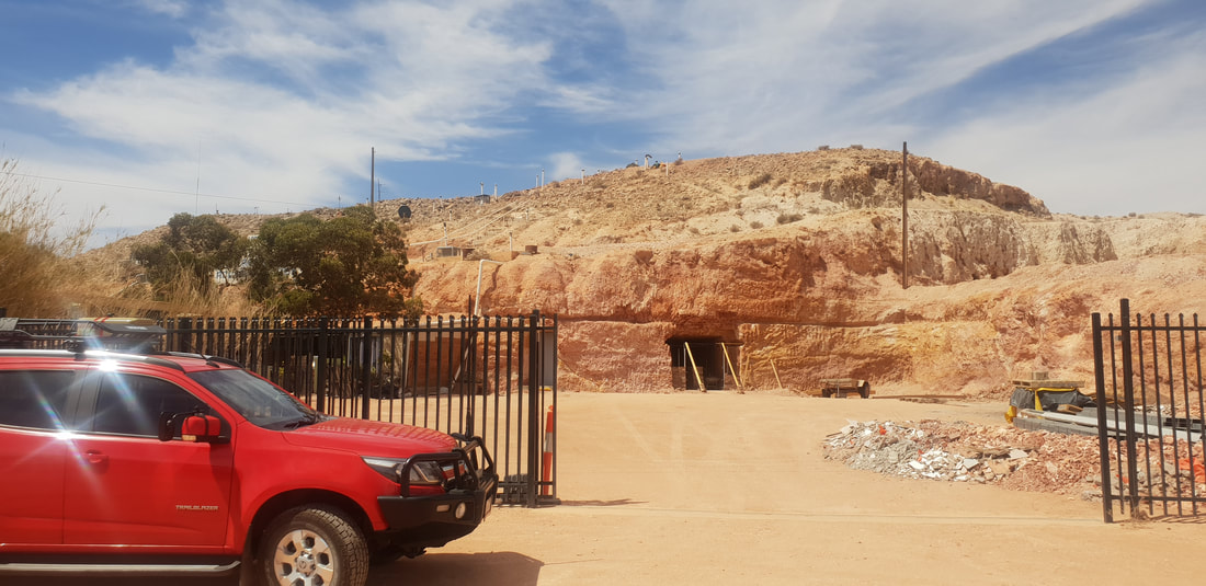
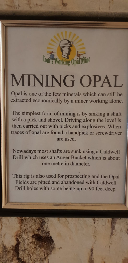
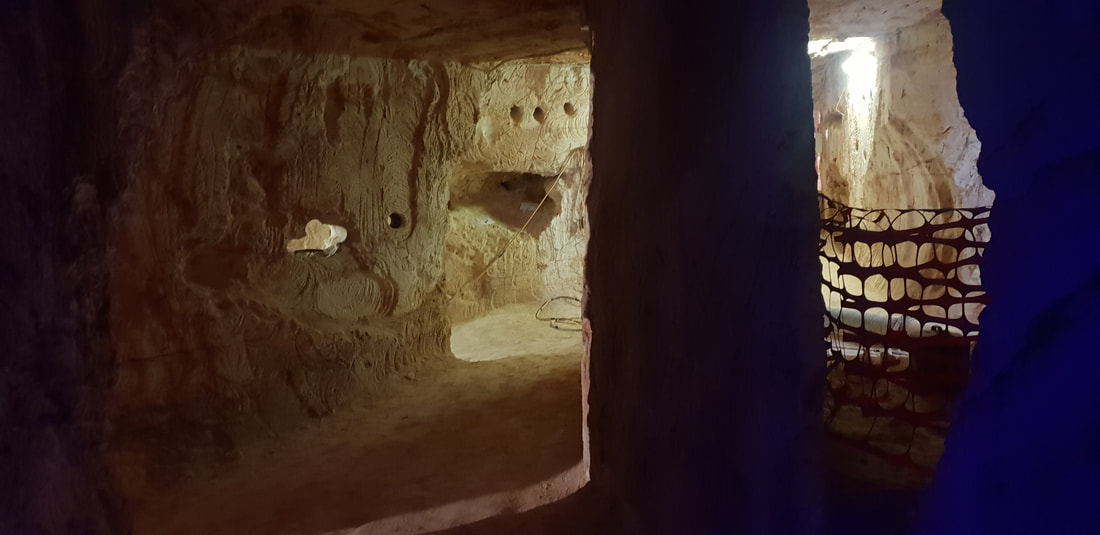
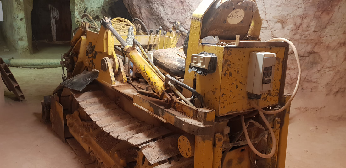
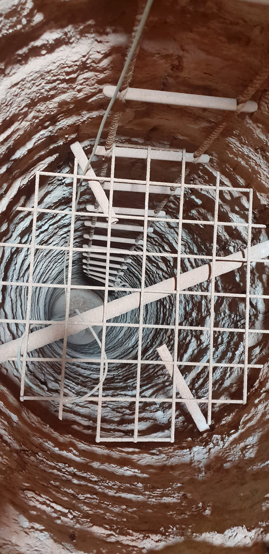
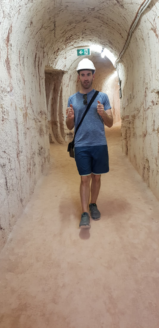
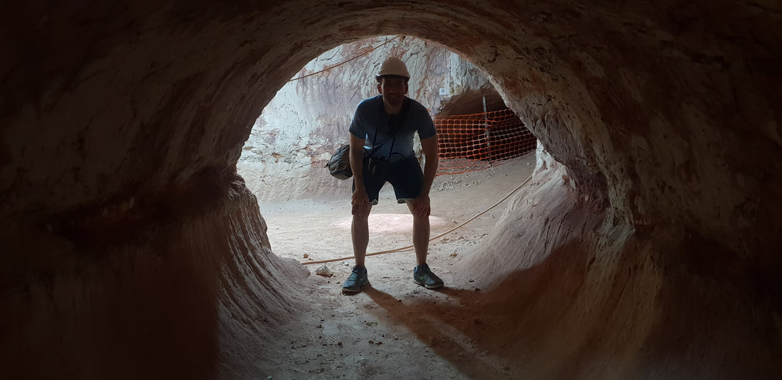
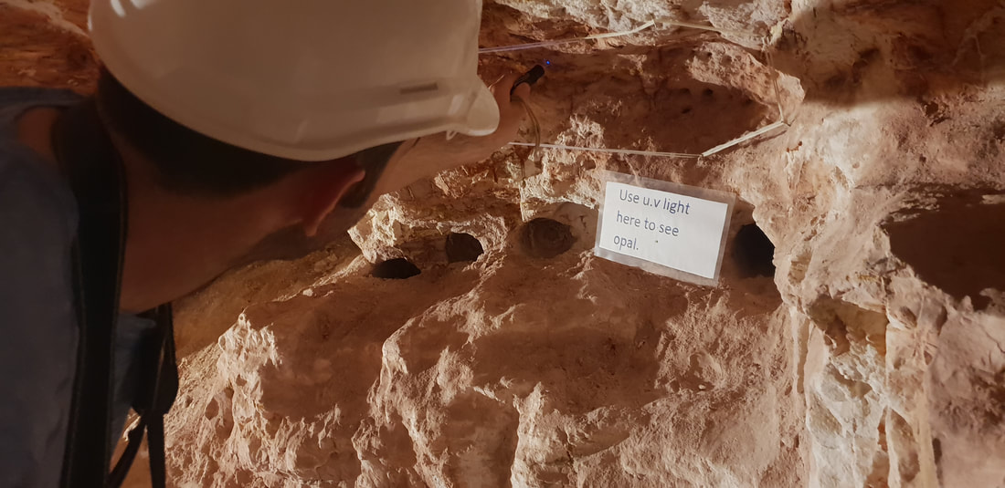
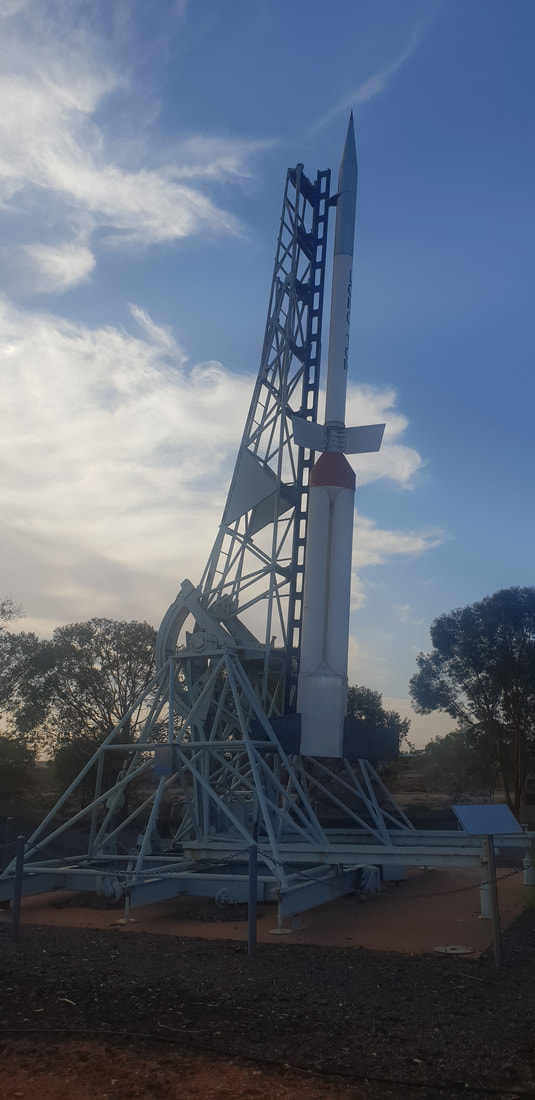
The name “Coober Pedy” comes from the Aboriginal Australian kupa piti, meaning “boys’ waterhole.” However, another type of hole has become quite a hazard. Over the years, miners have dug over 250,000 shafts, making Coober Pedy a dangerous place for tourists to walk around carelessly. source Gem Society Tom's Working Opal MineAt Tom’s Working Opal Mine, which I don’t believe is an active mine anymore, we watched a video of the mine being detonated, which involved a stick of dynamite being placed into a predrilled hole and ignited. We laughed uncomfortably as the person holding the camera began to shake and back away quickly. The camera holder and the igniter both exiting the mine moments prior to hearing the bang and a burst of dust and rock escaping the hole. 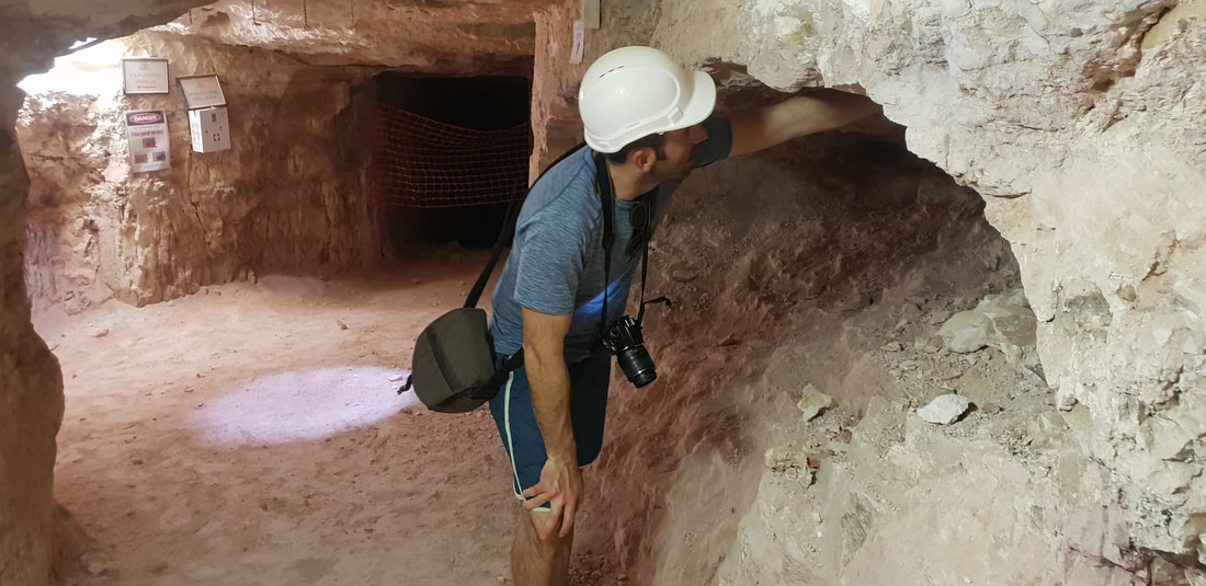
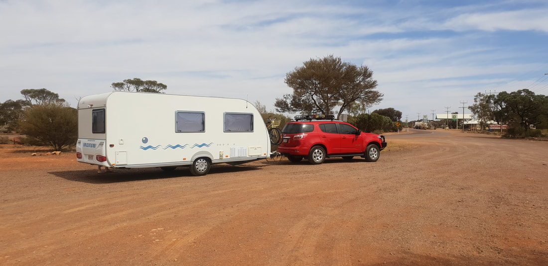
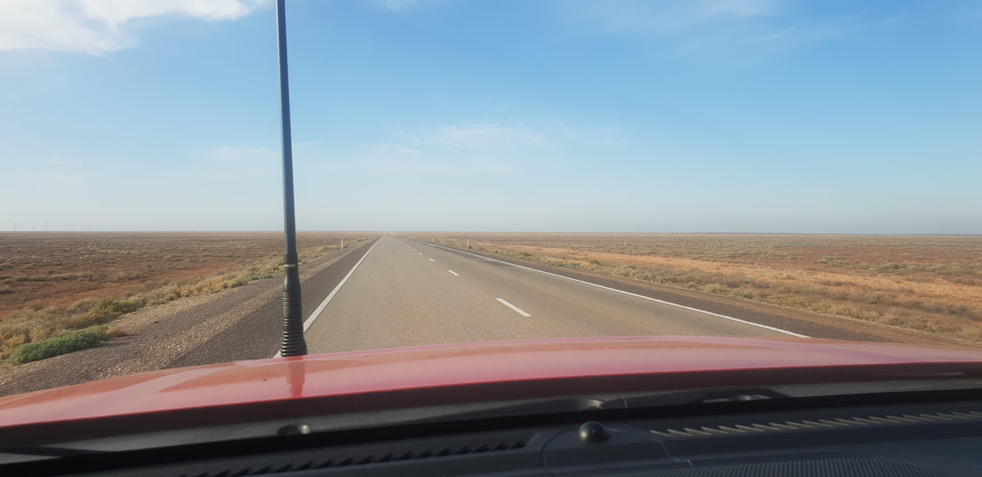
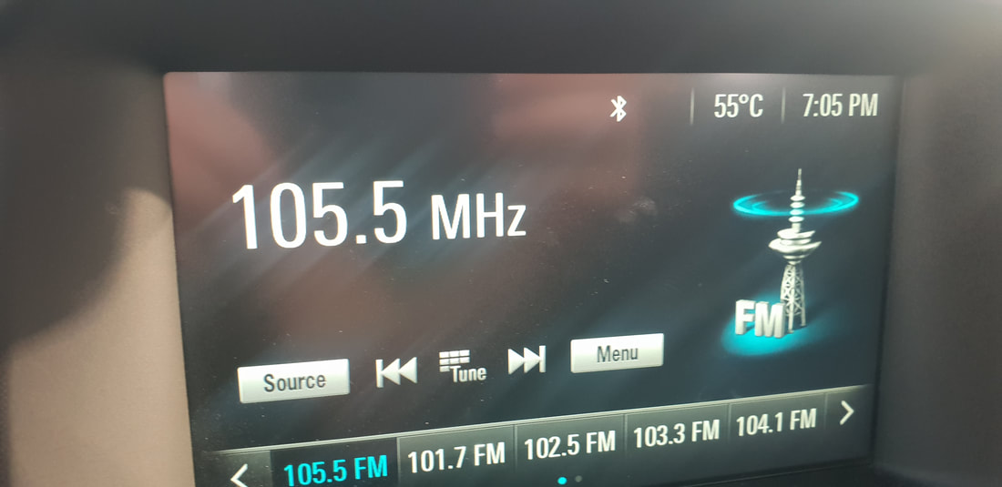
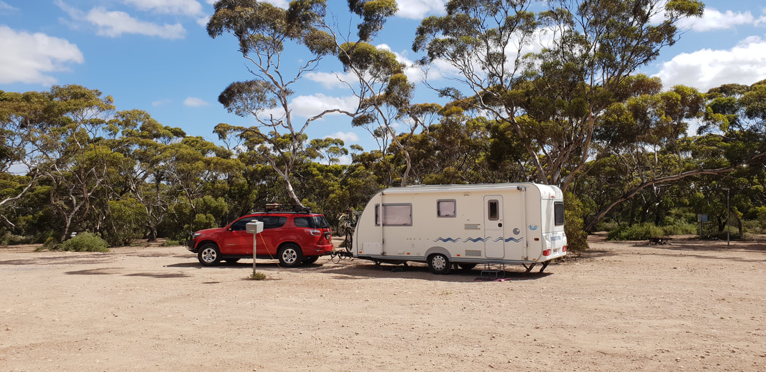
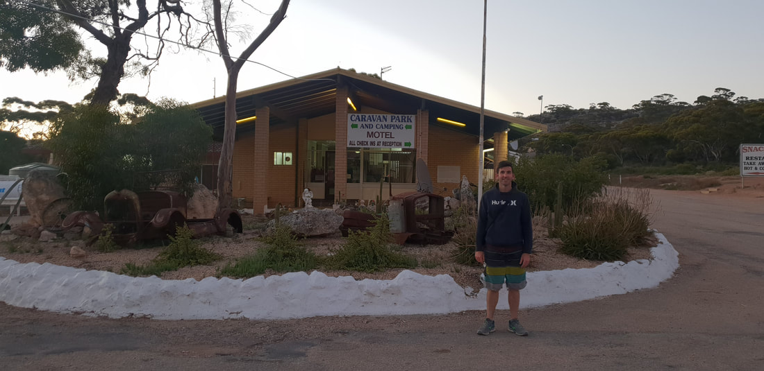
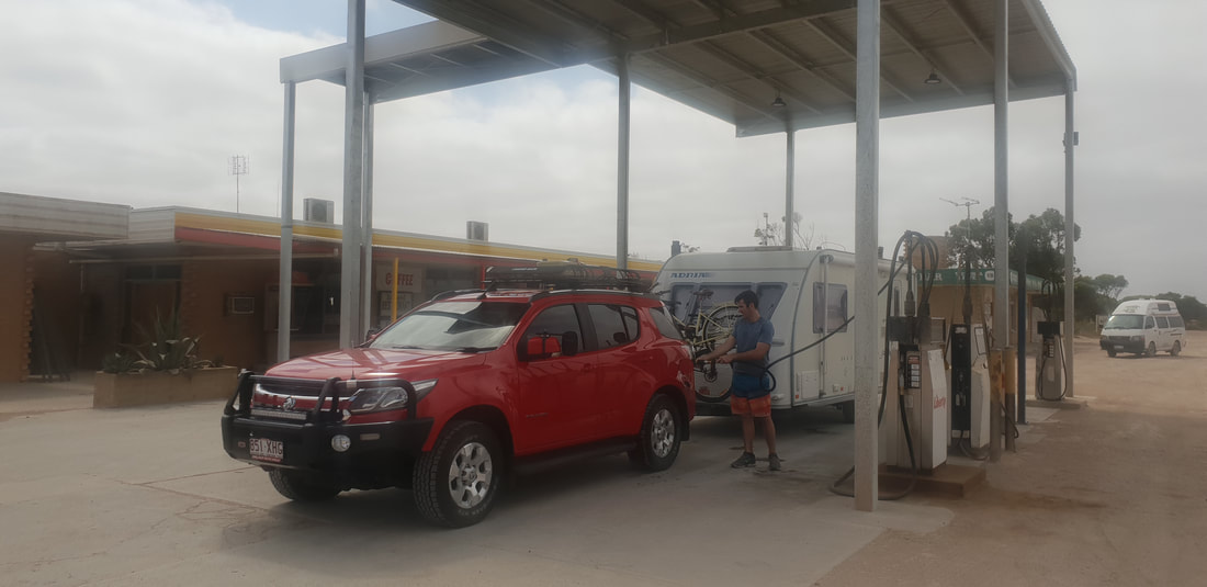
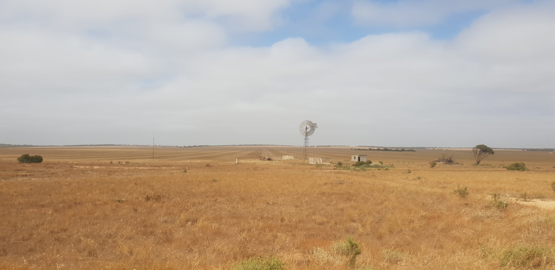
The oppressive mid-summer outback heat descended upon us as we travelled north towards our destination of Roxby Downs. Located about 260 kilometres from Port Augusta and 560 kilometres from Adelaide, Roxby Downs is a service centre for BHP’S Olympic Dam mining operations that was established in the 1980’s and the town is now home to about 4,000 residents. After four long days traversing at pace the Nullarbor, leaving Esperance in Western Australia on Saturday, we arrived in Roxby Downs on Tuesday exhausted and with our optimism and excitement for the next chapter starting to wane slightly. Shovel had been offered a job working as a Communications Technician with the mine and I anticipated picking up some work at the local Council. However, the approximately 90-kilometre journey off the highway into town, consisting of stifling nothingness, had us questioning if we’d made the right decision. This was further compounded when the lady behind the reception counter of the Discovery Caravan Park rhetorically said, “What are you doing here!” Honestly we were perplexed, and driving around the caravan park and town had us concerned – we had said yes to the job lured by our curiosity to explore new surrounds with an open hearted buoyancy to support the town – yet the unfriendly welcome, seeing broken caravans literally in pieces left to bake in the searing heat lingering throughout the caravan park and the town sparse of atmosphere, Woolies and Subway the only places harbouring any form of life, made us want to turn around and leave. Flanked by the Woomera Prohibited Area (WPA), a government weapon testing facility on one side and vast deserts and salt lakes on the other, Roxby Downs is inundated by a dismal remoteness. A chastising doom loiters bleakly over the town with many residents feeling the pressures of mortgage stress; unable to sell homes due to the influx of FIFO / DIDO employment opportunities and an established camp located at the mine approximately 15 kilometres north of the town. In my mind I feel as though we stayed in Roxby Downs for a week, however it was actually only one day and two nights – Ry turned down the job and we scurried north off to see what Darwin might have on offer. 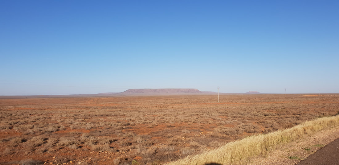
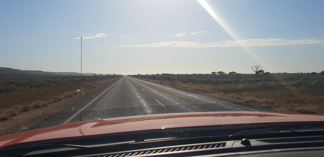
  After another big day on the road, travelling approximately 540kms between Penong and Port Augusta, effectively crossing the top of the Eyre Peninsular in one day we parked Florence for the night and headed to the Standpipe for a fancy meal of Indian. The Standpipe Inn established in 1883 is home to accommodation, conference, and dining facilities, including an Indian Restaurant. According to the website, “When it first opened, the Standpipe premises had a billiard room, skittles, stockyards, bullock cueing pens and horses for hire and it became a popular meeting place, though the decline of the teamsters [or Afghan cameleers] saw the closing of the hotel licence in 1901.” Thanks to a beautiful restoration the Standpipe Inn has reverted back to the watering hole it once was and Shovel and I were extremely happy to receive a magnificent feed of Indian after officially completing the Nullarbor, west to east in three days. We were so happy with the meal we left a review on Tripadvisor: Curry with History Set in a wonderfully preserved hotel-cum-private residence-cum-nursing home, the building dating from 1883 is well worth a look on its own. Go for the architecture, but definitely stay for the curry. The service is flawless and the meals incredibly delicious. The atmosphere in the restaurant is welcoming, professional, yet relaxed, and would be highly recommended for any occasion. Thanks for a lovely meal. Keep up the great work.  Port Augusta pronounced Port-A-Gutta, or so were told by a fellow traveller at the Broken Hill Outback Resort is a junction for road and rail, connecting Adelaide to the north and provides travellers with respite between Sydney and Perth. We made sure to stock up at Woolies, unsure what to expect at our next and final destination, Roxy Downs.
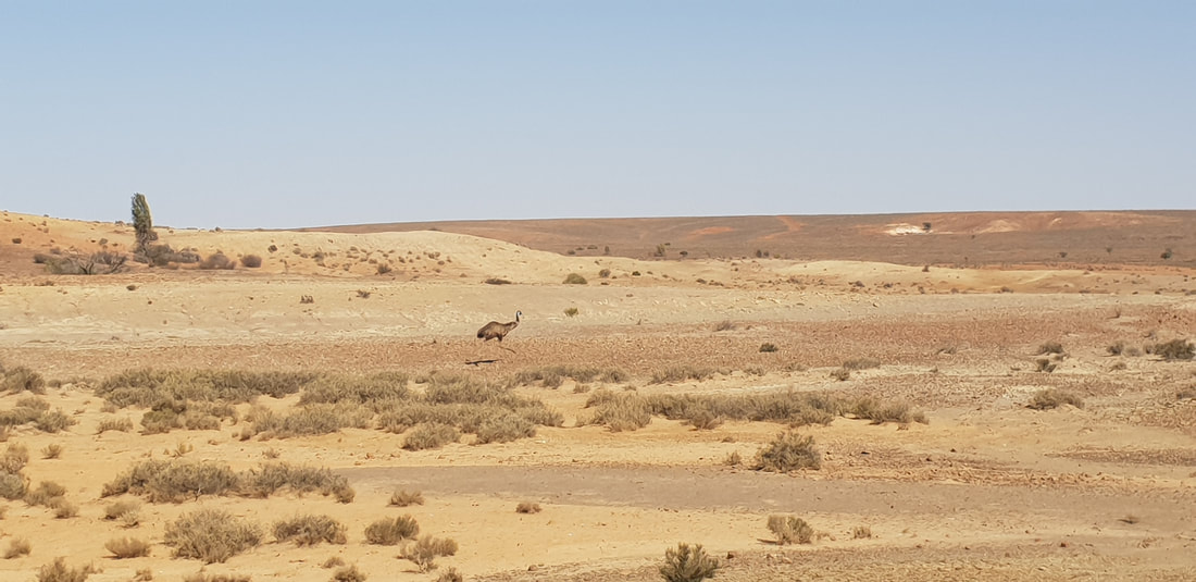
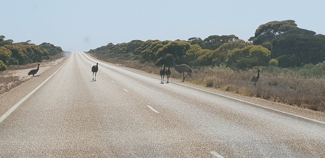
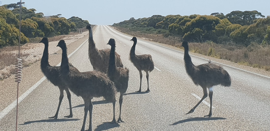
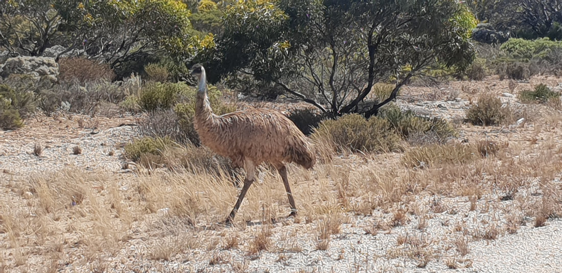
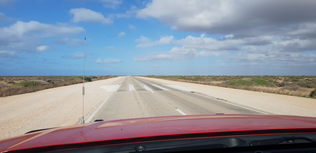
Today on our dash across the Nullarbor we ventured 600kms spending the night in Penong, the town of windmills. We had a meal at the local pub that was surprisingly busy, before hitting the hay back in Florence. During the journey we crossed back over the border into South Australia loosing 2.5 hours as the clock moved forward and witnessed a spectacular display of emus crossing the road, becoming fascinated by the car, before heading off into the scrub. Felt truly blessed and grateful to be on the road with Shovel seeing the wildlife and natural beauty of this mesmerising road trip.
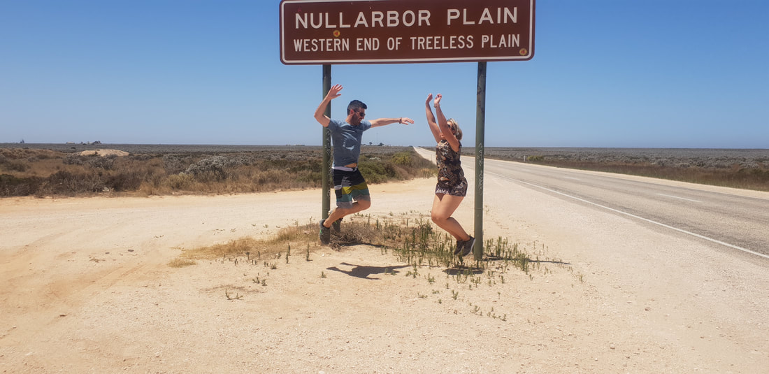
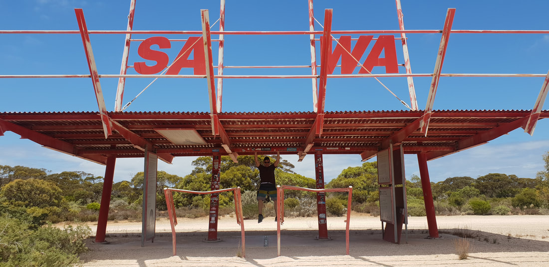
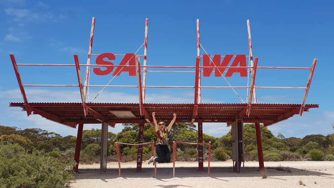
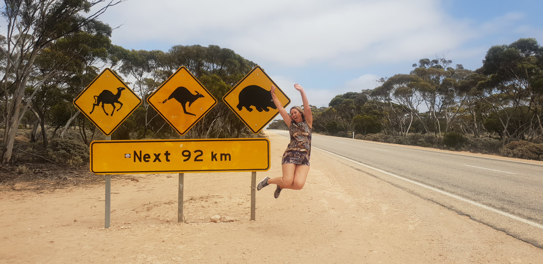
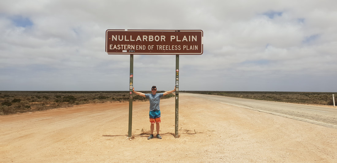
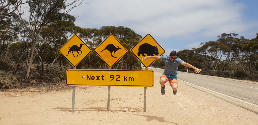
"Blessed are they who see beautiful things in humble places where other people see nothing." Camille Pissarro  Shout out to the shirtless, leathery grey nomad who offered to take our photo at the famous Nullarbor Plain sign! #legend
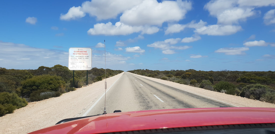
 We crossed into Western Australia today, presenting for a Quarantine Inspection before venturing onto our next Roadhouse destination, Madura Pass Oasis. The trip of 378 kilometres had has drive along side the Bight admiring from various angles the Bunda Cliffs and stopping regularly to take photos at the designated lookouts. Once in Western Australia the treeless Nullarbor Plain gave way to the Hampton Tablelands and Roe Plains. By night after a posh dinner at the Roadhouse of Roast Beef and Sparkling Water served in wine glasses on a linen tablecloth we ventured on foot to the top of the hill to watch the sunset together over the plains. It was a really special experience.
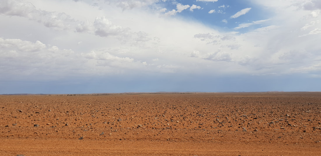
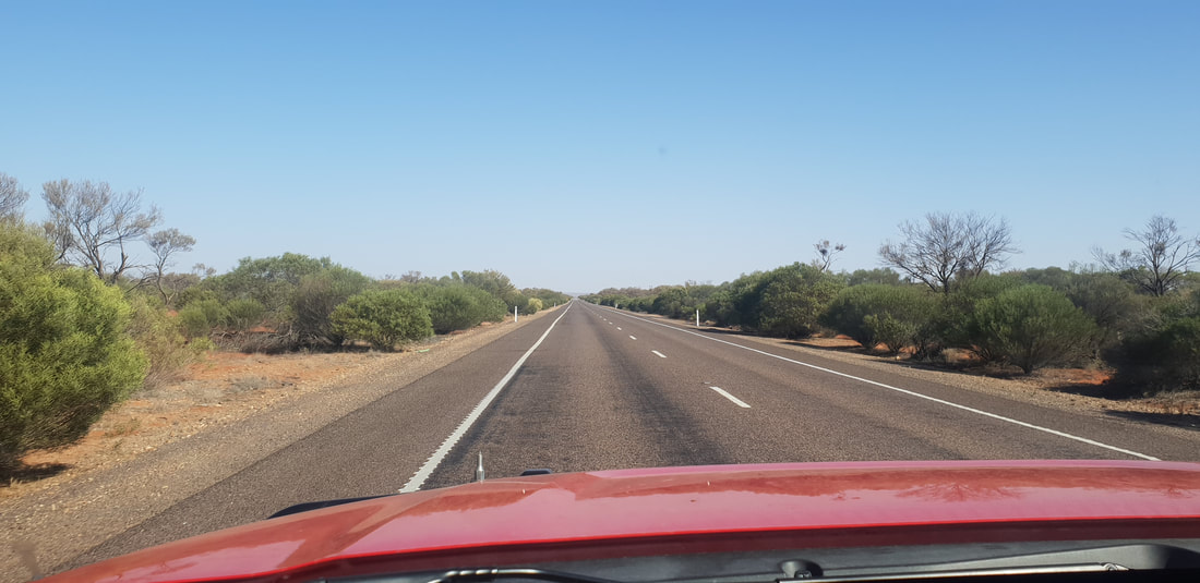
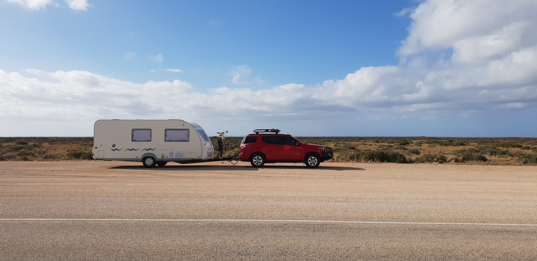
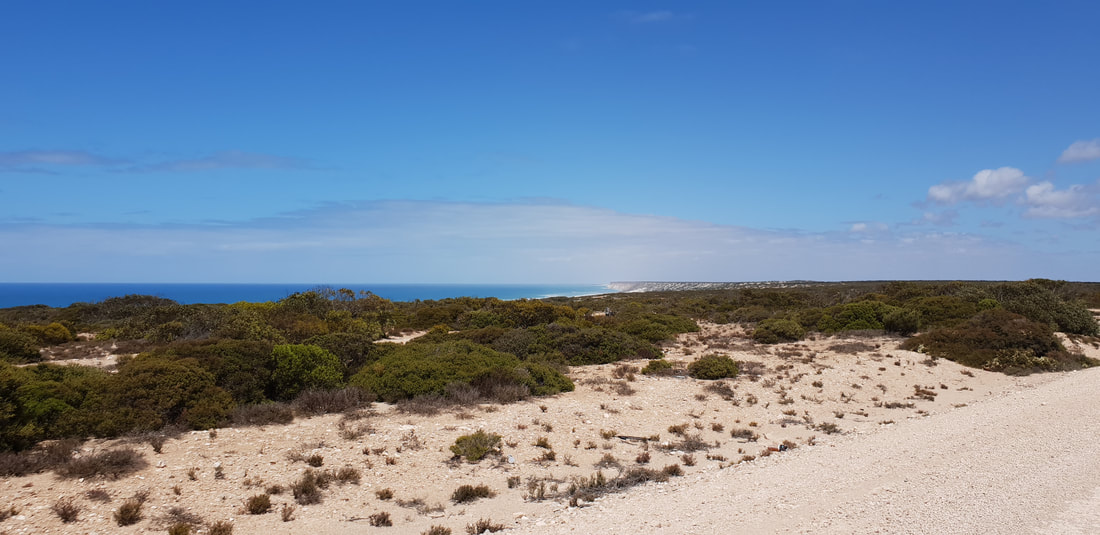
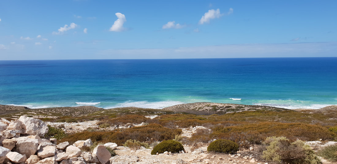
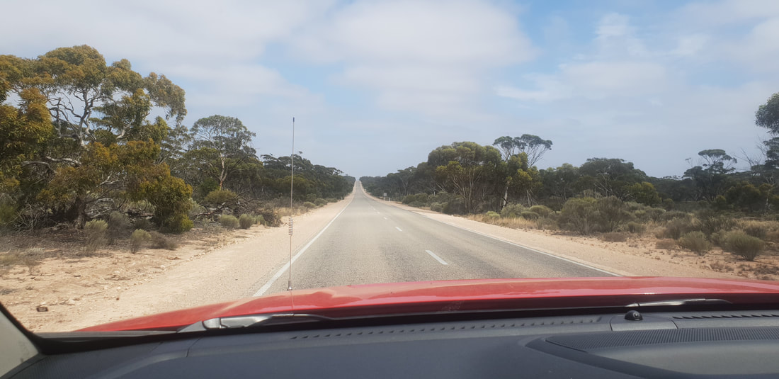
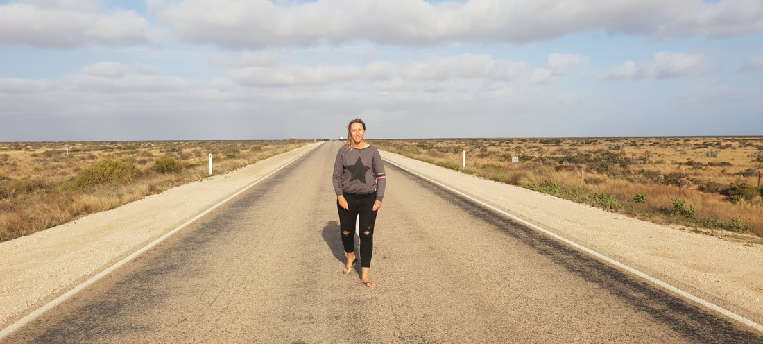
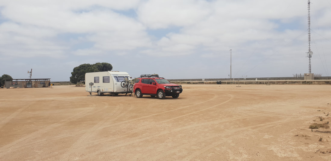
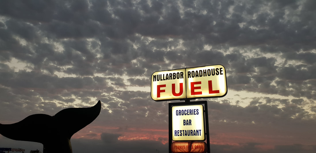
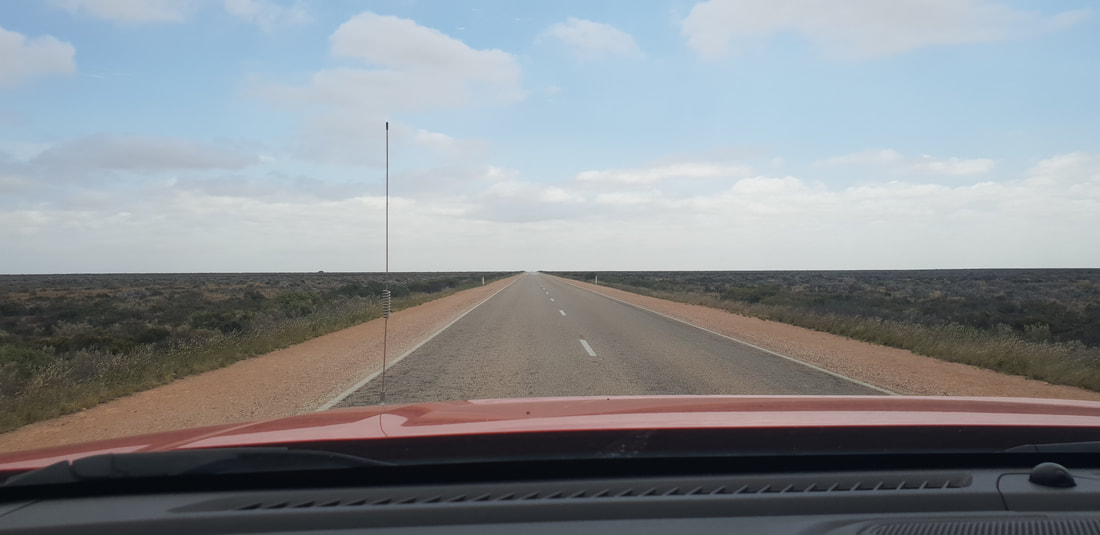
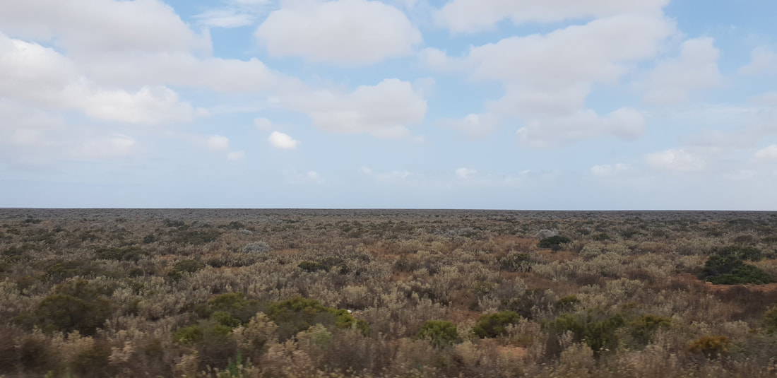
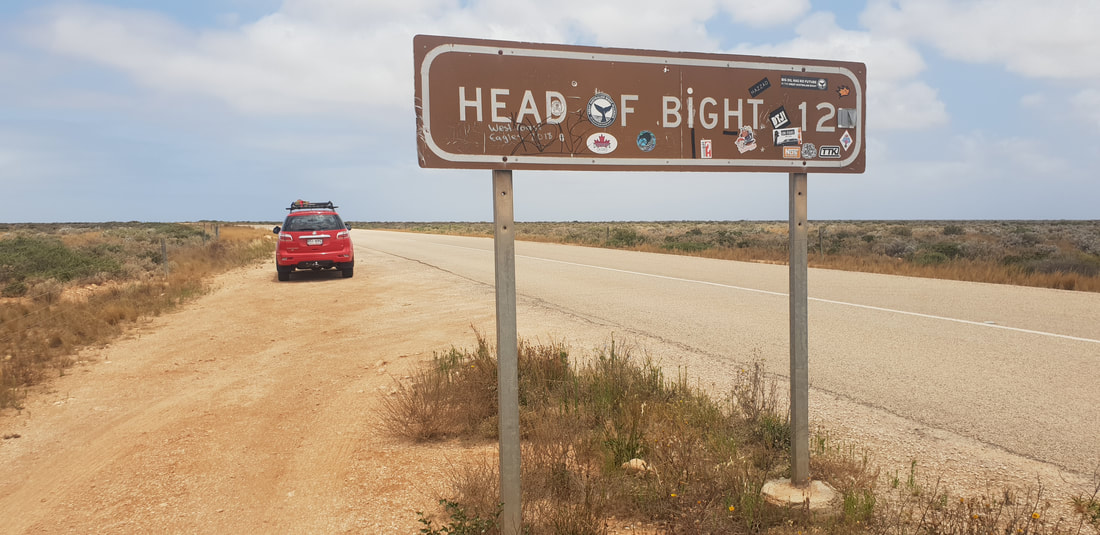
 After two weeks in Ceduna we were excited to hit the 'frog and toad' again and head west along the Nullarbor. During our 300 kilometre journey we passed through the wheat fields of Penong, the native indigenous lands of Yalata and into the abyss of the flattest and most treeless land in Australia. The extreme flat of the Nullarbor Plain is created by a limestone shelf that stretches along the coast of the Great Australian Bight for about 1,000 kilometres. The absence of trees or structures gives the ominous impression the sky is falling in, as there is no sense of perspective. But what an incredible experience to feel first hand and a definite must for any traveller. After we jumped in front of signs, marvelled at the landscape and unhitched Florence at the Nullarbor Roadhouse Caravan Park, we took a drive to the Head of Bight, then returned for an impressive feed of Snapper, served at a restaurant with its only source of water from a bore, desalinated onsite, and watched the sun go down over the vastness that is the Nullarbor Plain.
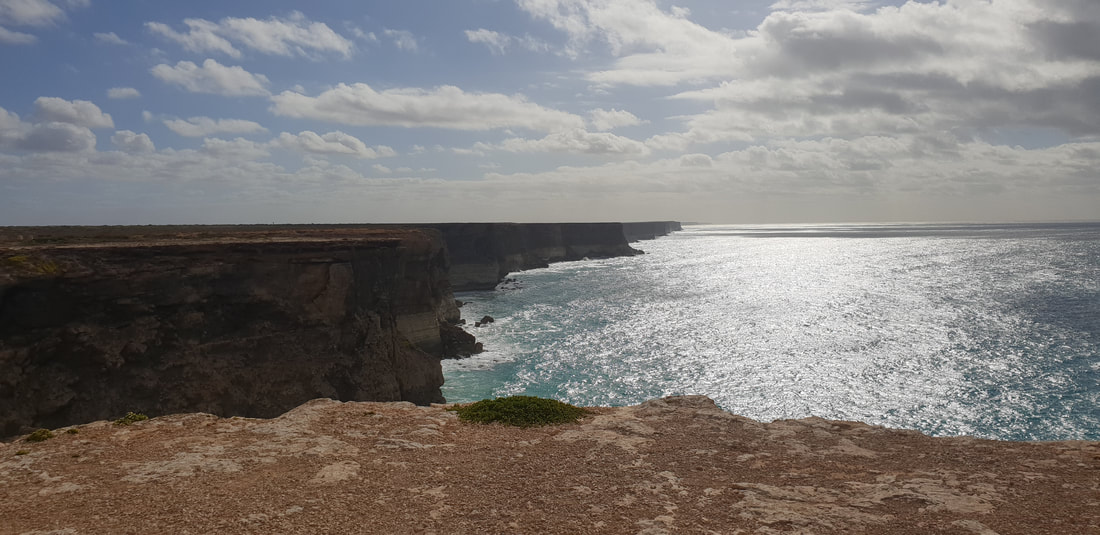
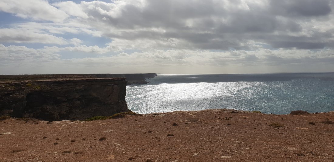
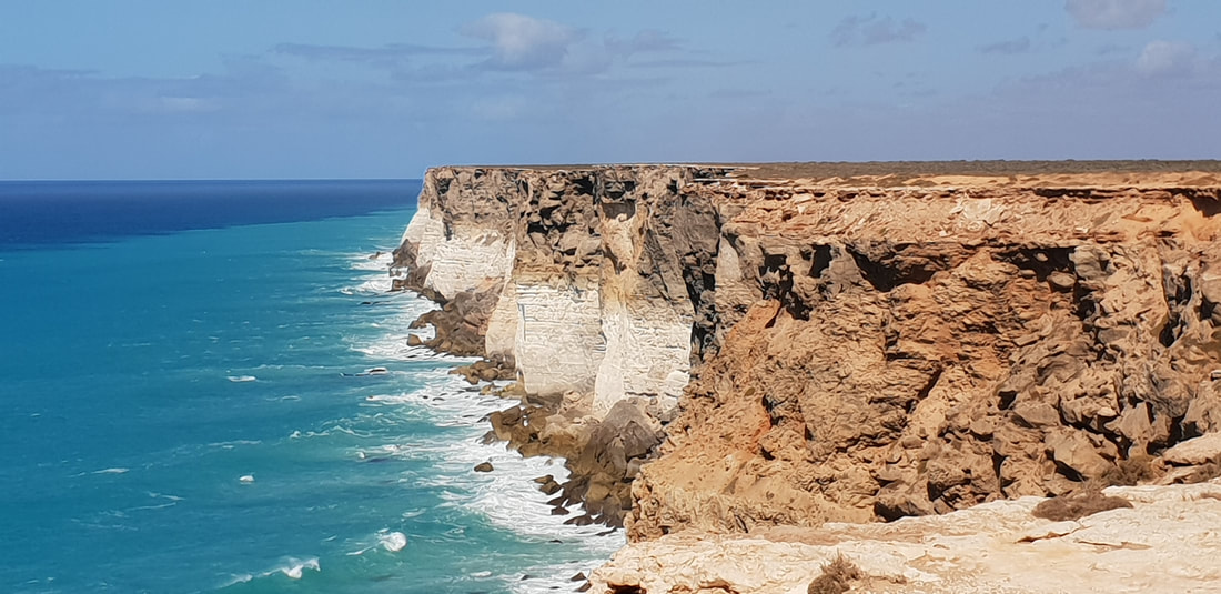
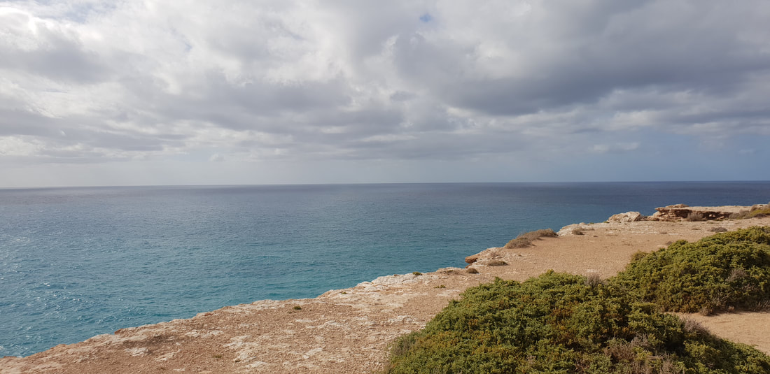
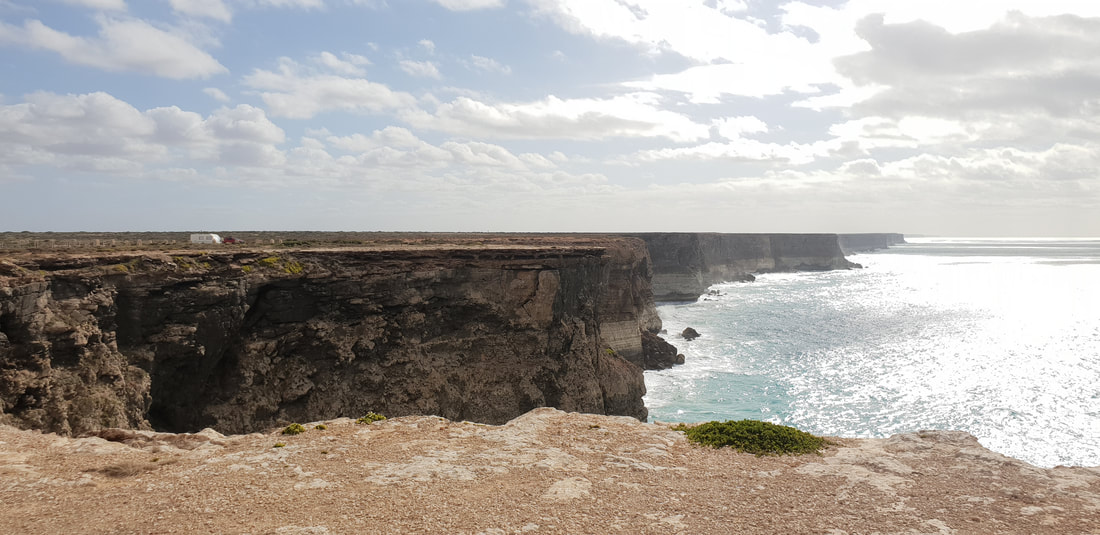
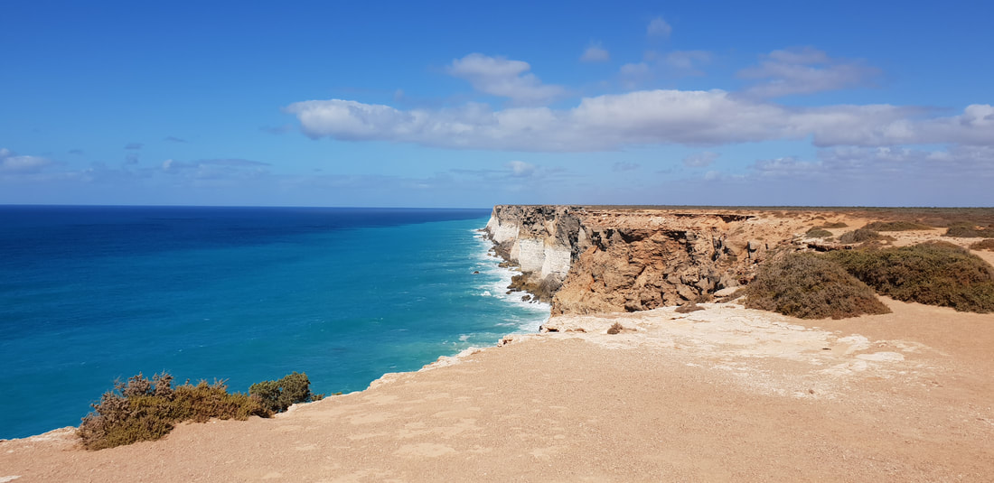
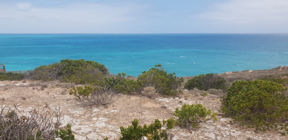
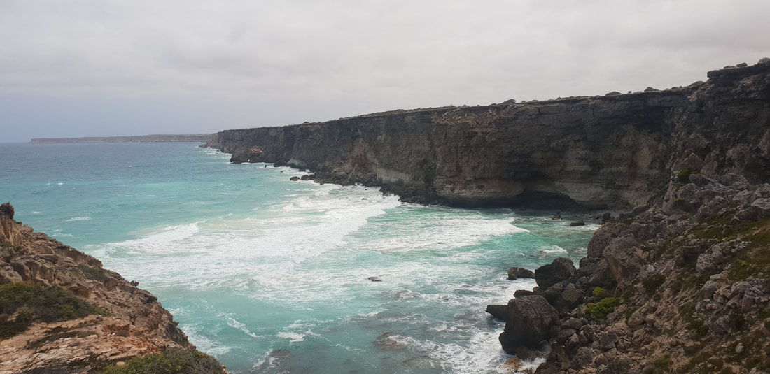
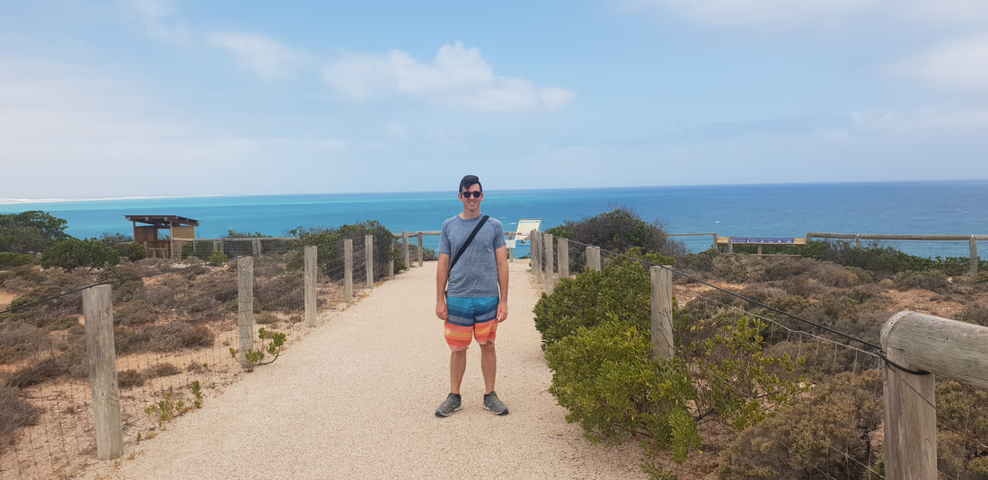
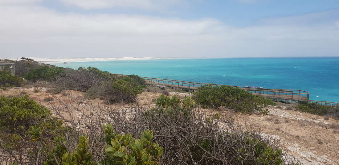
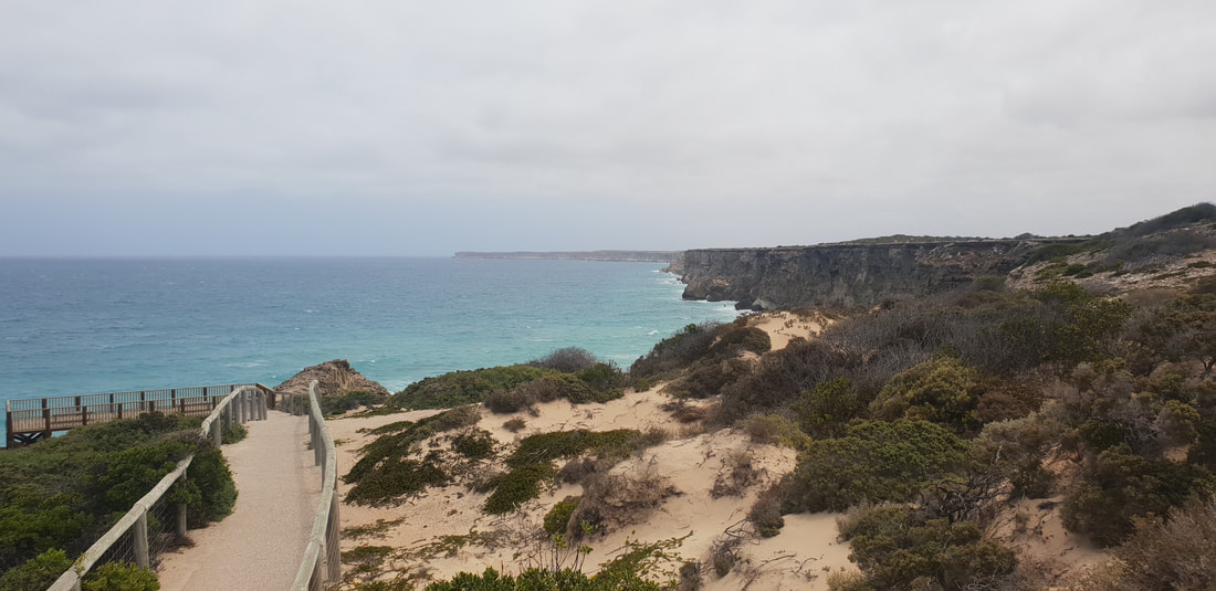
The head of the Great Australian Bight is most well known as a popular vantage point for whale watching, however even sans whales the indigenous run Head of Bight facility is one to put on the list. Walking out of the visitor centre in the direction of the ocean my mouth literally dropped as the expanse of turquoise blue penetrated my eyes. The view is in a word STUNNING and the beauty difficult to capture in photographs. The Bunda Cliffs that begin at the Head of Bight and extend the length of the Nullarbor Plain are made up of three distinct types of limestone. The first layer at the base is called Wilson Bluff Limestone, formed by the skeletons of decomposed marine organisms when the oceans were much higher than they are today. The second layer in the middle is called Nullarbor Limestone and began forming from sedimentation about 25 million years ago. The third and final layer on the top is called Bridgewater Formation and is windblown calcareous sand formed between 1.6 million years and 100,000 years ago. Nature is amazing and incredibly awe inspiring.
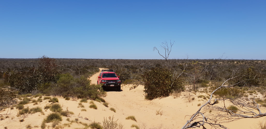 
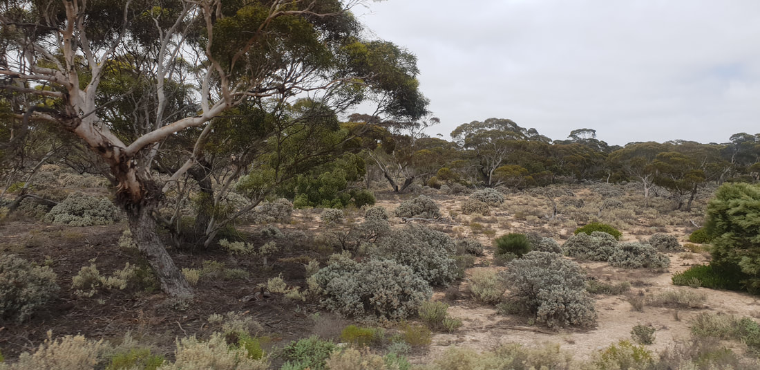
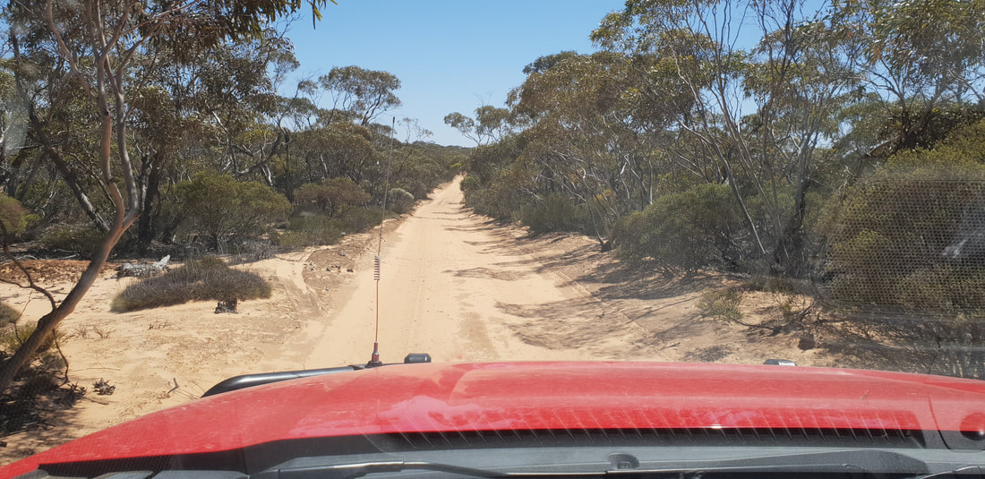
In 1973 John (Goog) and Jenny Denton along with their son, Martin (Dingo) Denton decided to construct a road through their property, Lone Oak Station located 35 kilometres north of Ceduna to the railway station further north at Malbooma. It was intended for commercial pastoral use, but has never been used for this purpose and is now a recreational track covering a distance of approximately 190 kilometres for 4wd adventuring. The Denton's completed the track to Mount Finke (150 kilometres) in 1976 and the track was named 'Googs Track' in John's honour. We only drove about 40 kilometres of the track to see the 'Dog Fence' and test ourselves on a few dunes. Apparently there are over 360 sand dunes to navigate on the track. But we would definitely be keen to get back on it, as it is said to be the precursor for traversing the Simpson Desert Track. The 'Dog Fence' was originally constructed as a rabbit-proof fence in the 1880's, but was updated in 1946 to keep dingos away from grazing sheep stock, which were becoming a real problem, killing sheep. The fence still to this day is the longest fence in the world at 5,614 kilometres, but was once 9,600 kilometres. The fence has been mildly successful, but dingos still appear at times on the southern side as infant dingos make their way through holes.
|
The JourneyChoose Curiosity The Catalogue
November 2023
The Tags
All
|


 RSS Feed
