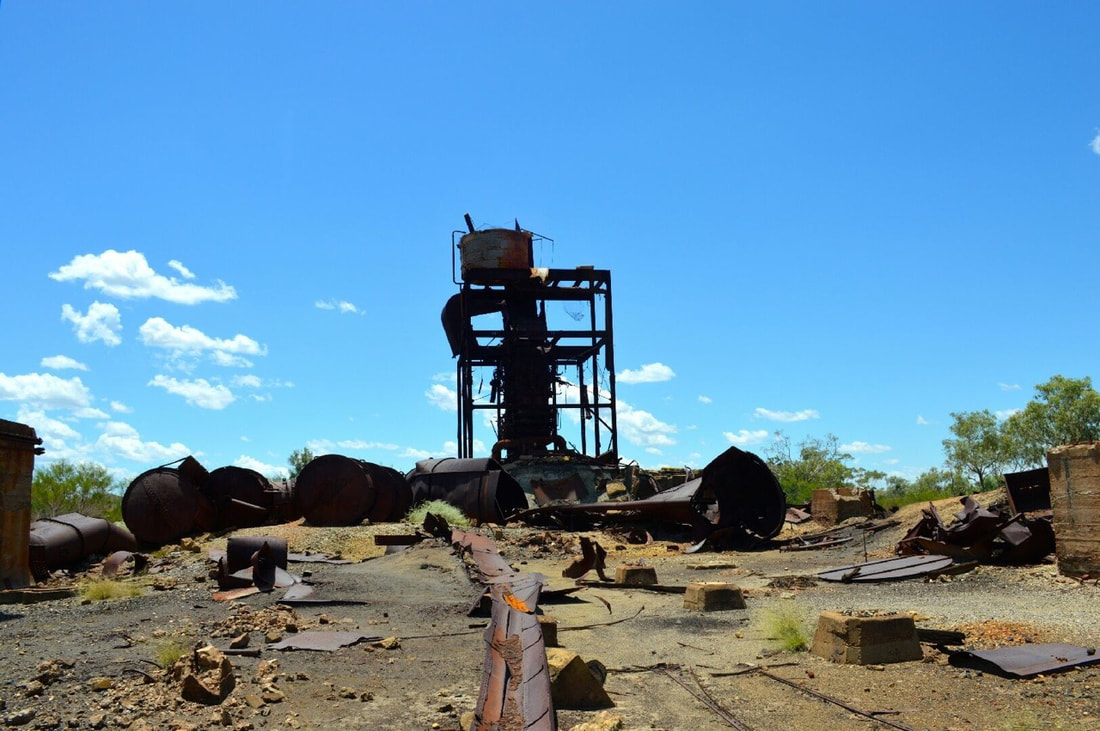
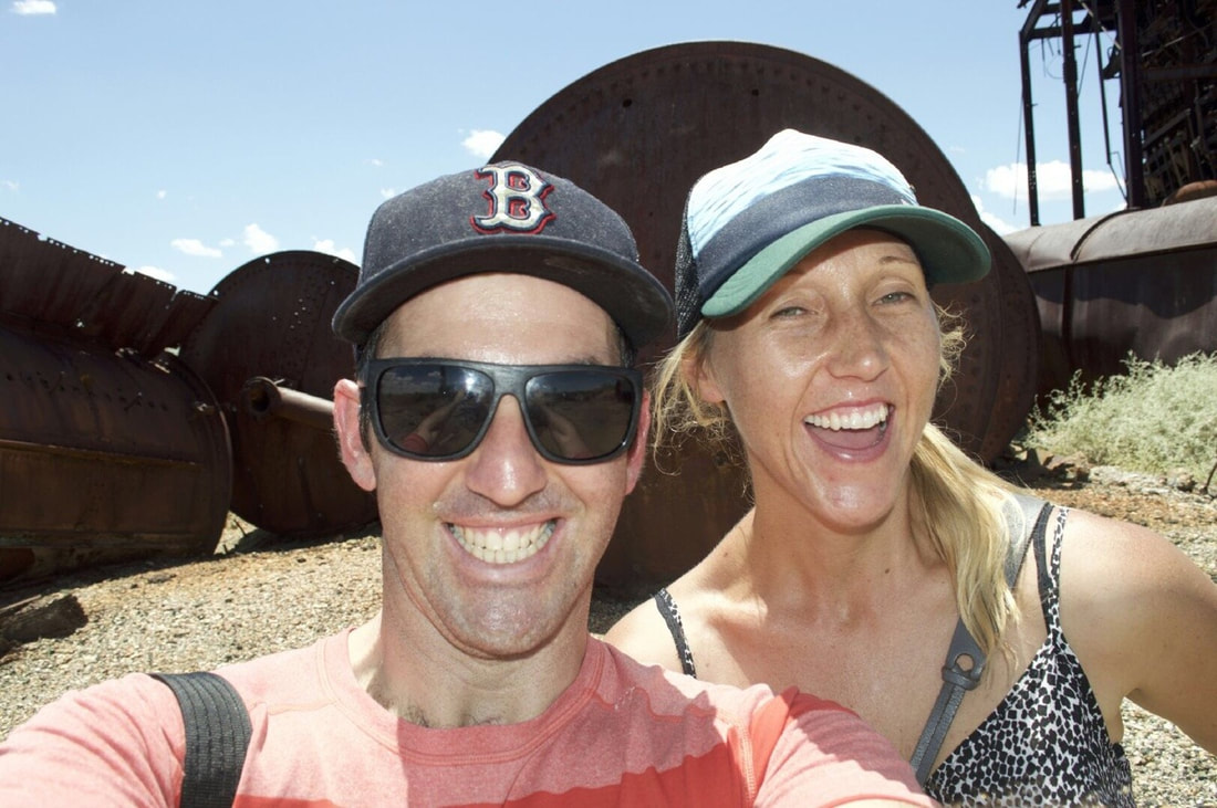
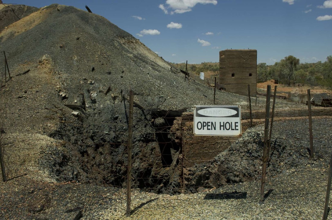
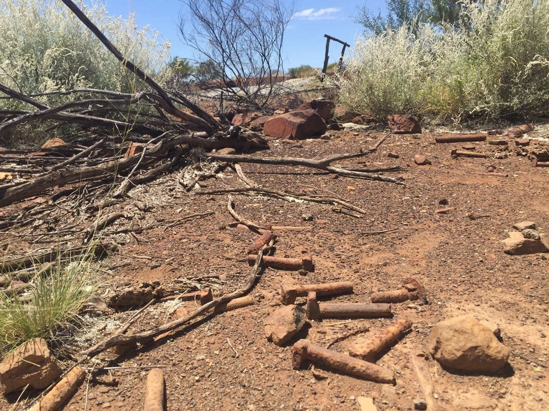
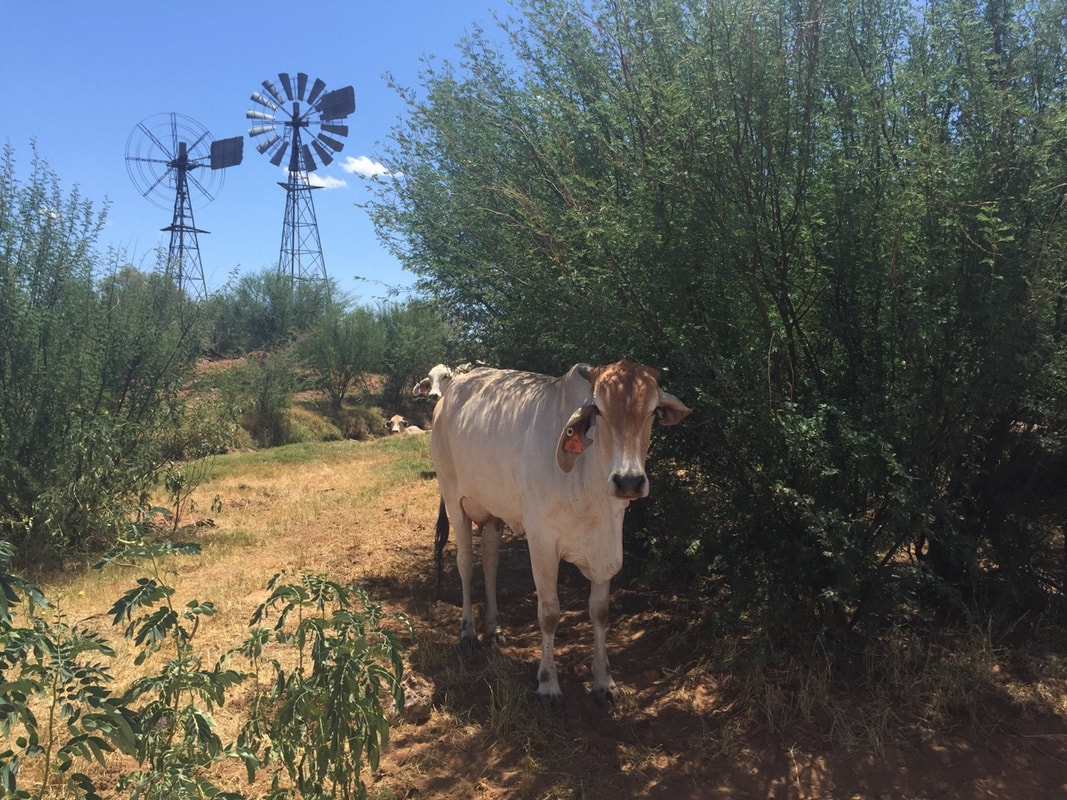
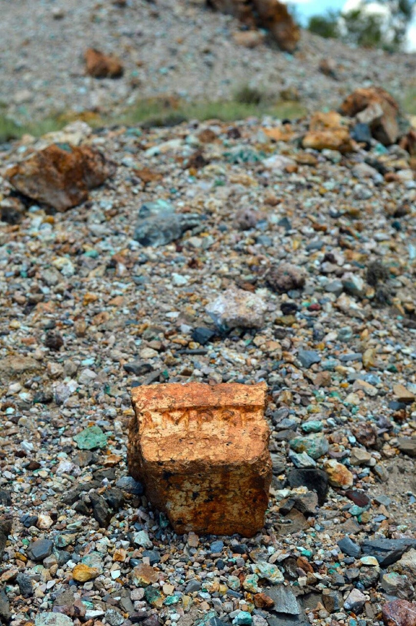
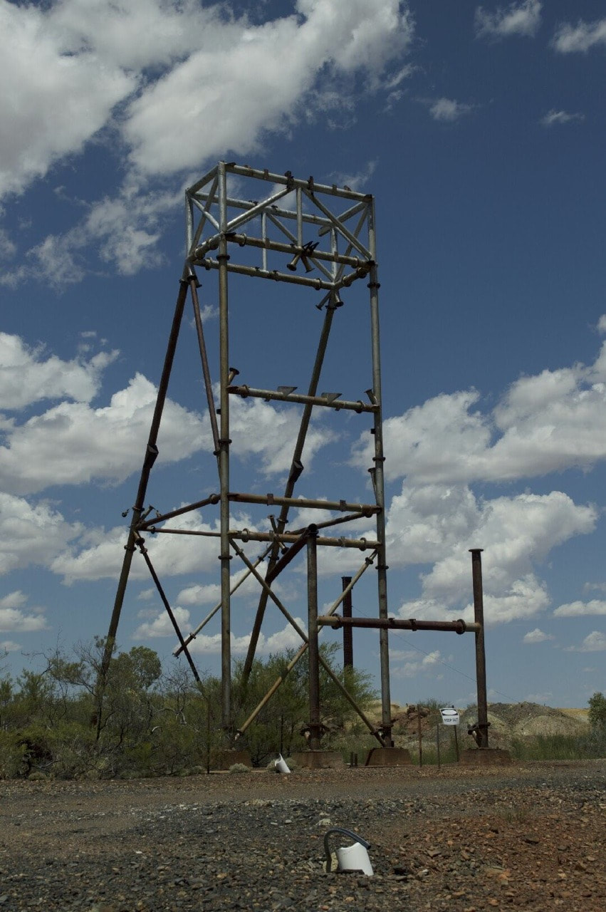
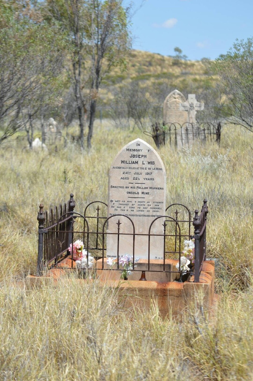
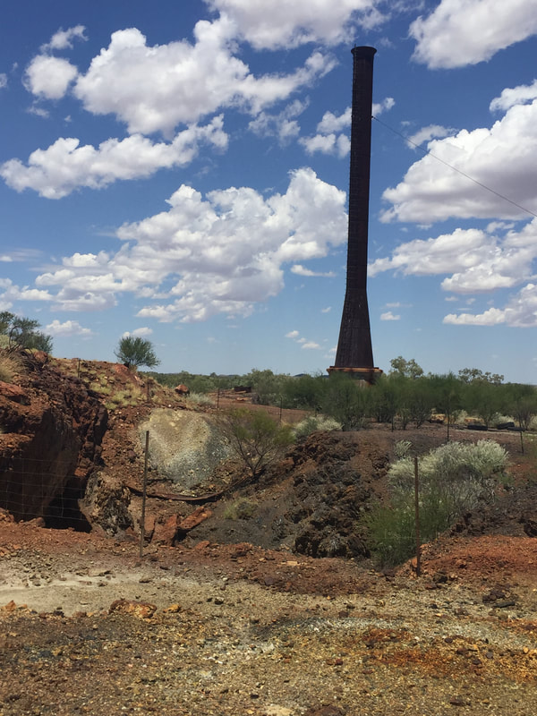
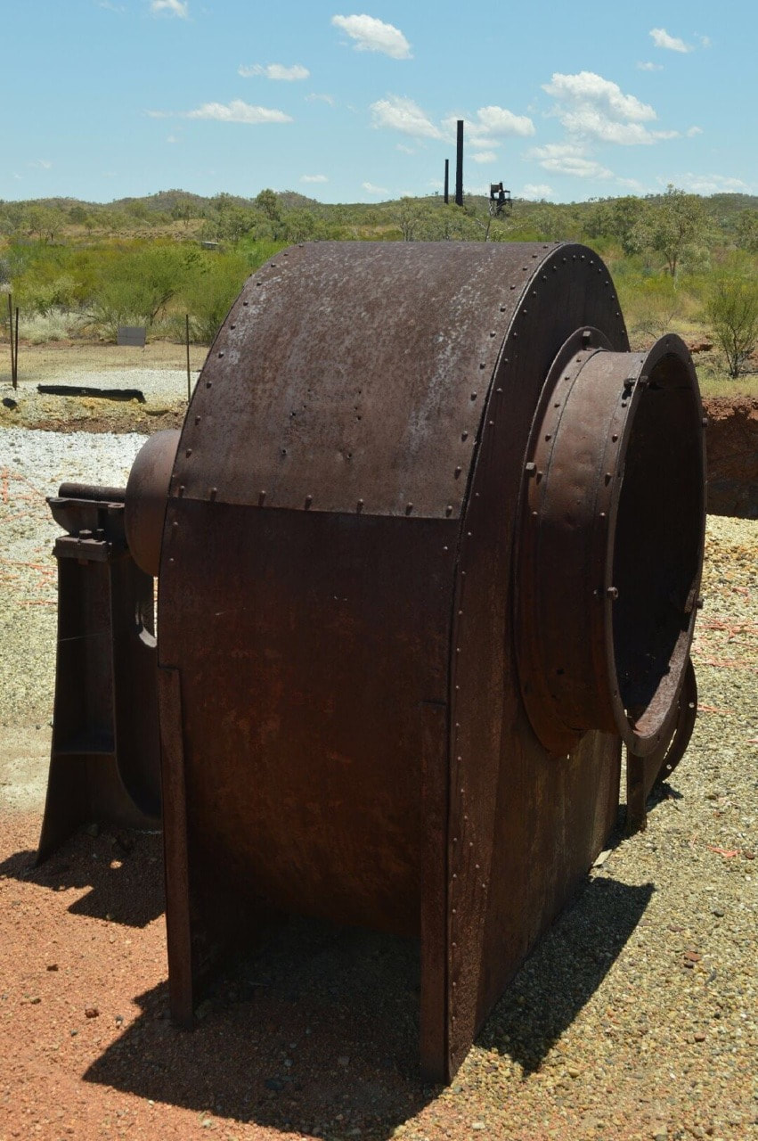
This once thriving Copper, Gold and Silver mining operation is now a Heritage listed deserted ghost town. If you draw a line across Australia from Townsville to Geraldton, Kuridala during the First World War was the richest town in Australia north of this line, with close to 2,000 residents in the boom. Situated approximately 80kms south of Cloncurry off the Barkly Highway, Kuridala, originally named Hampden (after the mining company) then Friezland (changed in WW1 due to its German pronunciation) began as a mining smelter in 1906, continuing during the boom until 1919 then in a reduced capacity through to 1928, when operation ceased. Many components of the mine were sold to the fledgling mining provence of Mount Isa (discovered in its current capacity by John Campbell Miles in 1923). Interesting to note the hospital building in Kuridala was cut in half and also relocated to Mount Isa, one half is now the administration building for the Mount Isa Central State School and the other half is the museum of the Underground Hospital. In the 1980’s the last resident left Kuridala and now there is nothing left of the town, just an eerie cemetery and dilapidated remains of the old smelters. During our visit we saw a dingo, kangaroo and of course many cows. It was exciting to explore this abandoned site that only a hundred years earlier was the thriving centre of activity in the region.
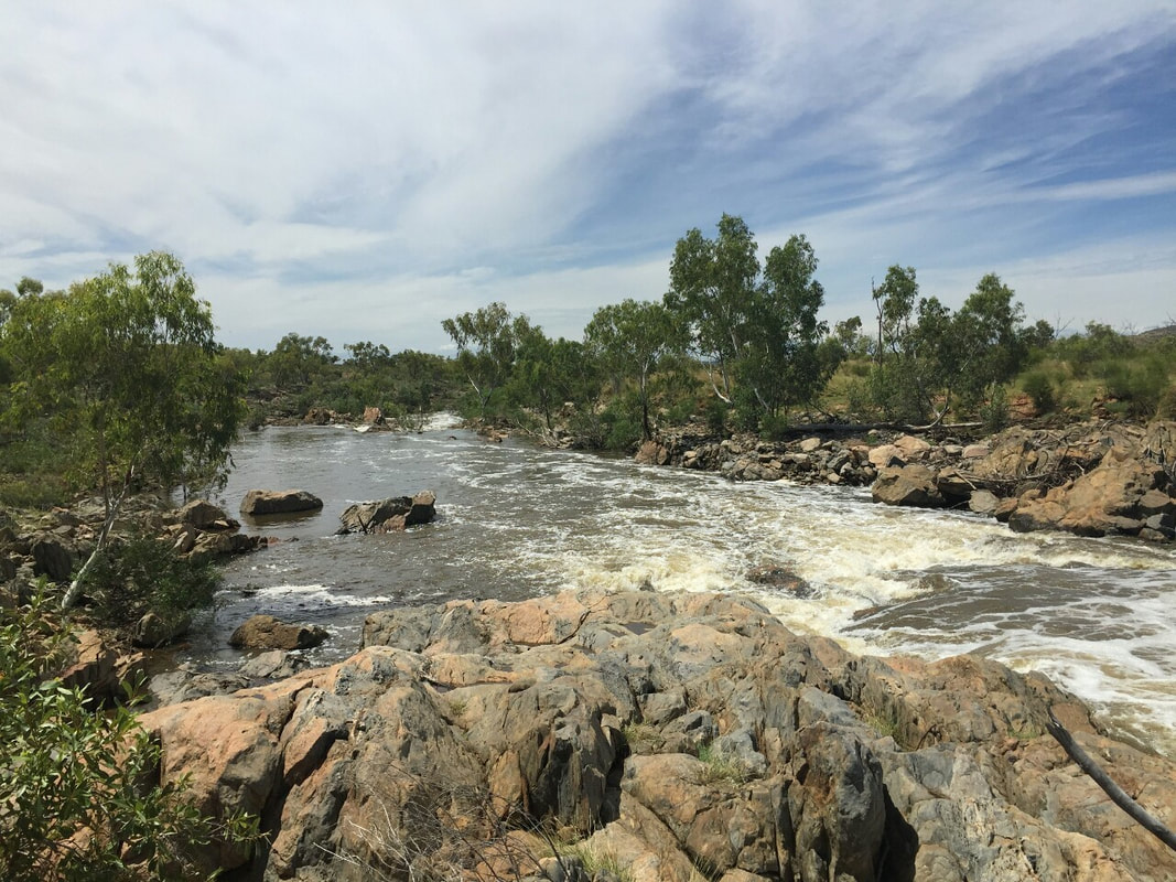
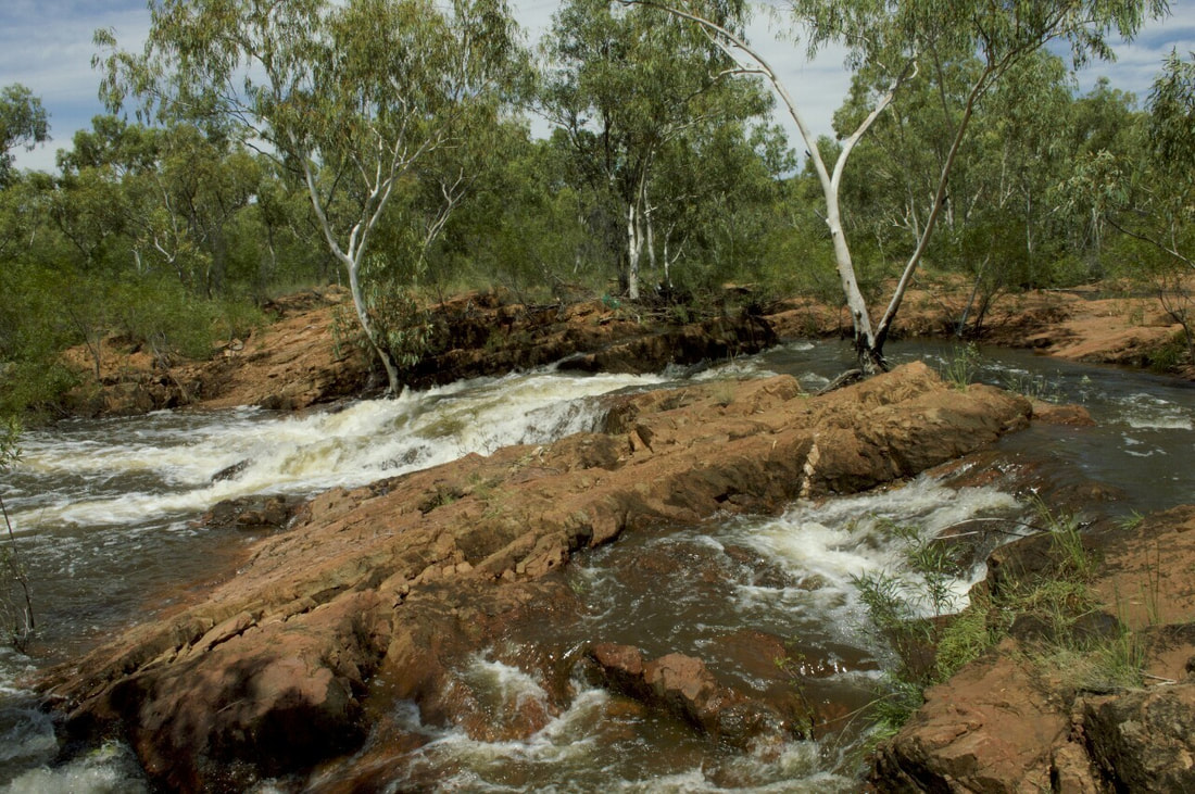
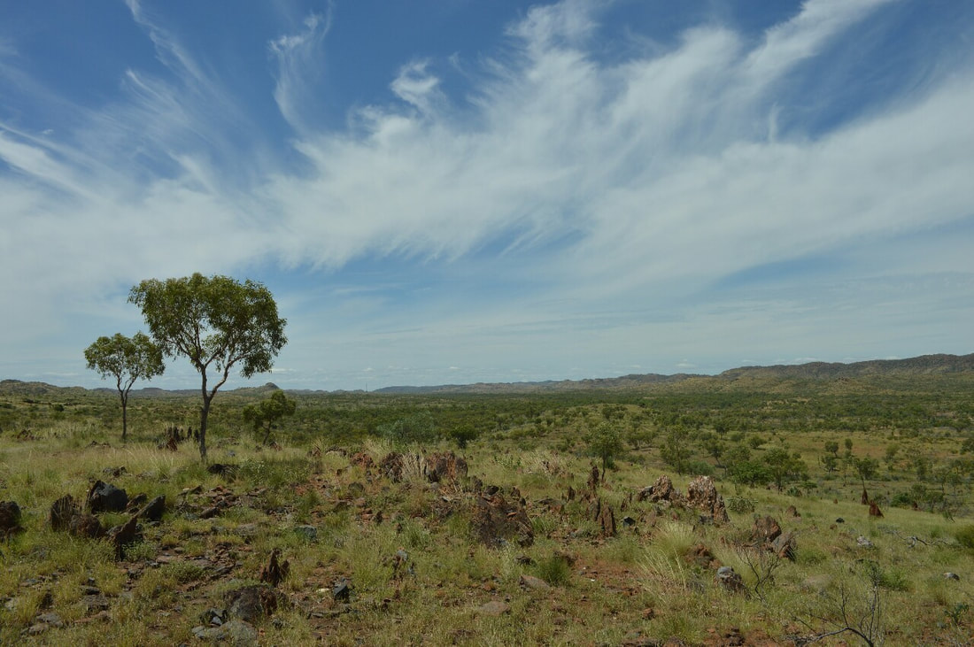
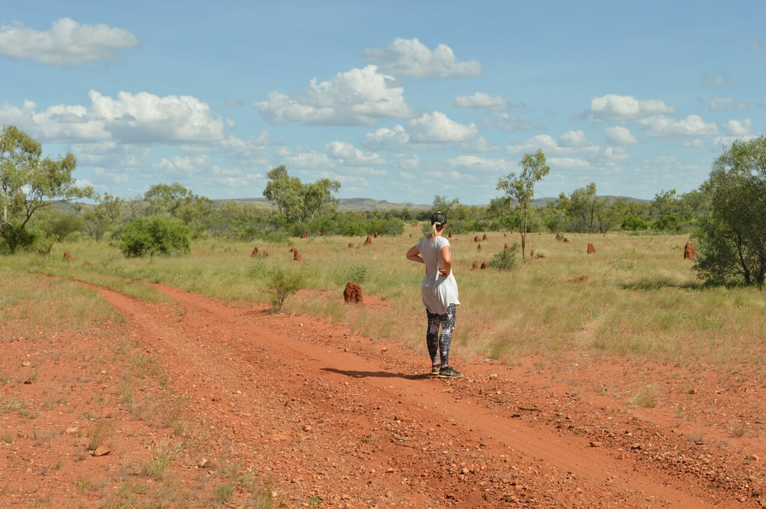
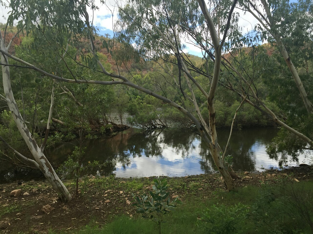
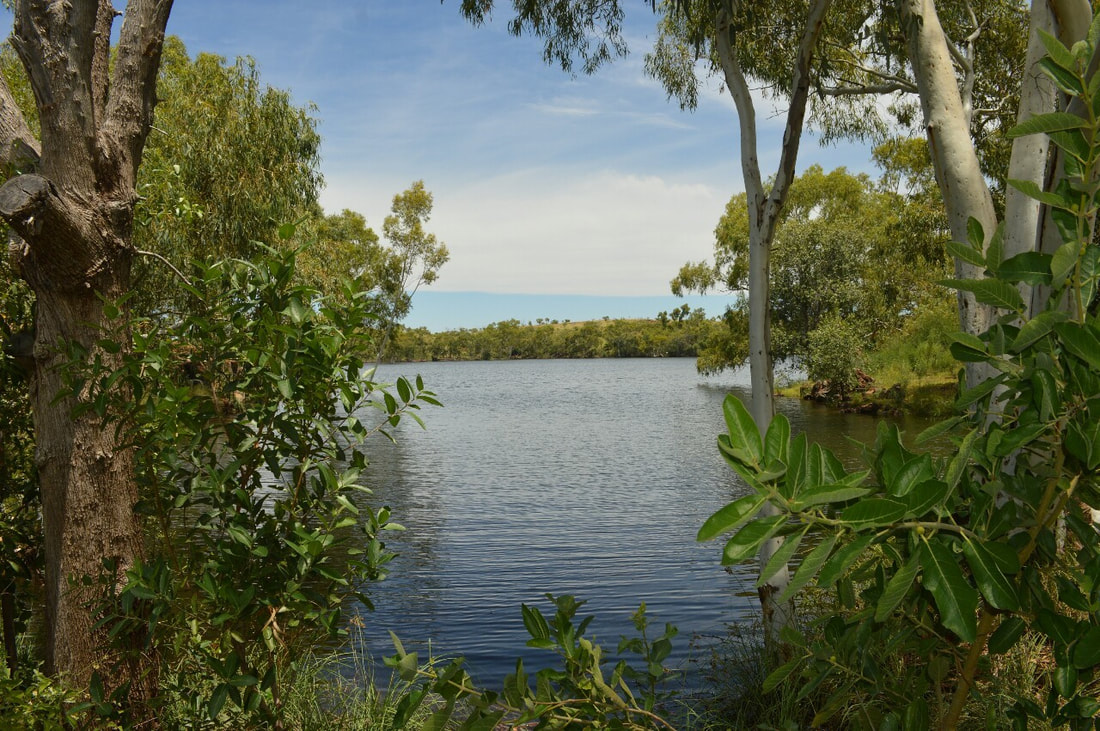 Otherwise known as Lake Mary Kathleen, it was the back up water supply for Mary Kathleen, if Lake Corella ran dry. Located 25 Kilometres East of Mount Isa, it is a pleasant dirt road drive to the lake, which was very full after the wet season. East Leichhardt Dam is surrounded with some challenging 4wd tracks and gorgeous running rapids that are part of the Leichhardt River. The running water was so good we even drank straight out of the river. Driving over the surrounding hills gave us picturesque views of the landscape making us feel very grateful to be amongst this spinifex dotted countryside.
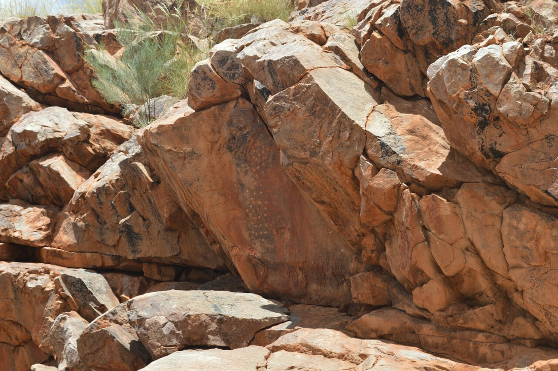 
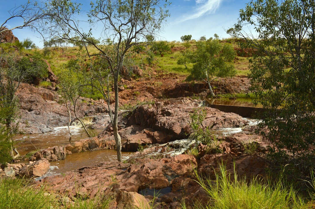
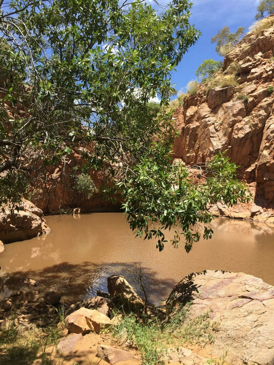
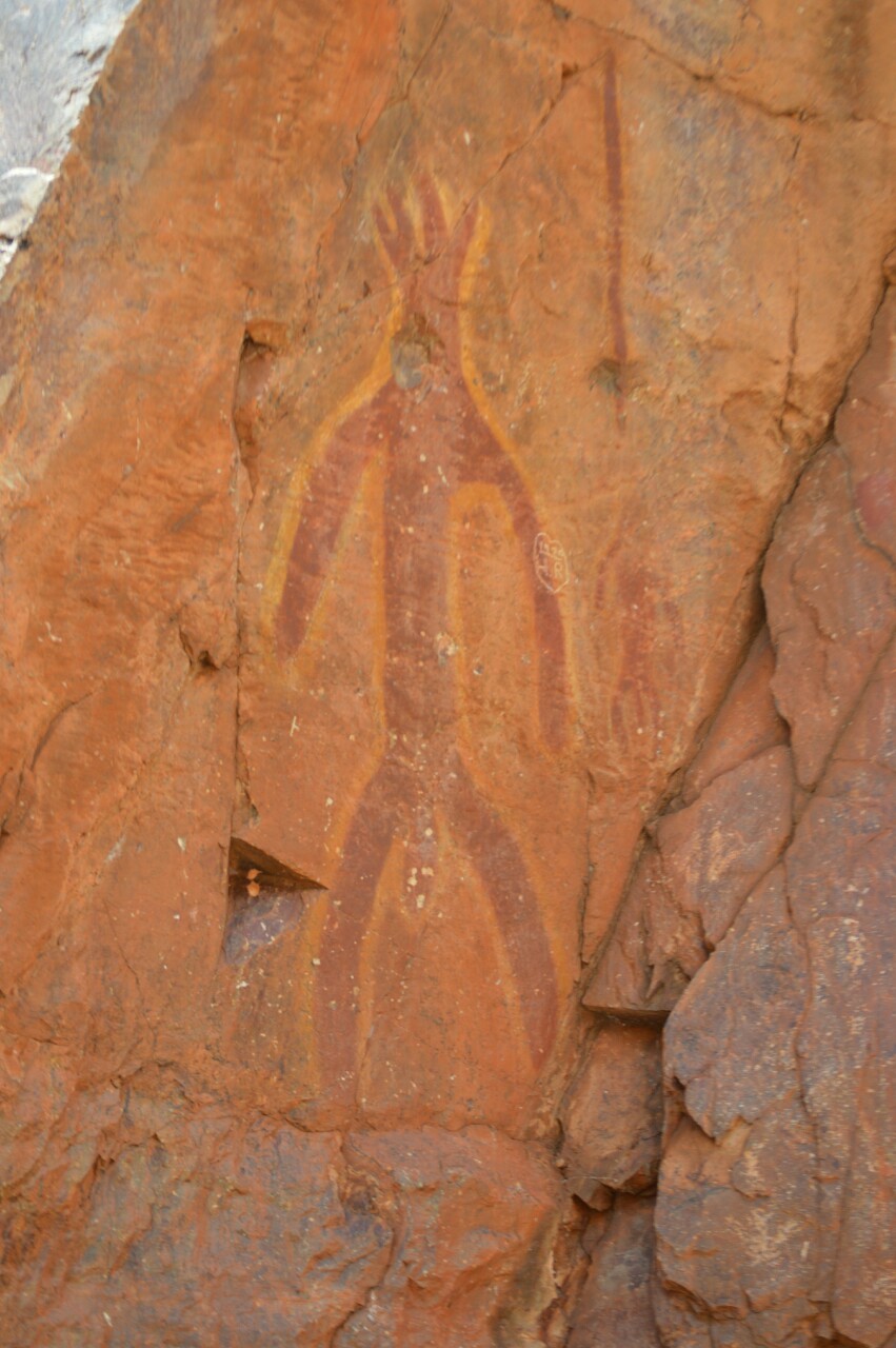
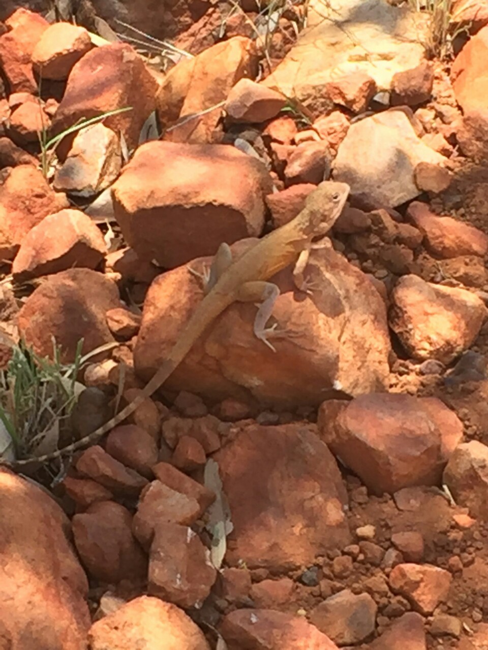
Also locally known as ‘Painted Rock’ is a small oasis 10 kilometres outside of Mount Isa. After Rex complaining to us with an engine light and copping a chip on the windscreen, we took a detour from our intended adventure to Kuridala and made our way to Warrigual Waterhole. The sound of winds bouncing off the rock faces gave the place a spiritual feel with surroundings of Aboriginal paintings and blossoming local wildlife. Unfortunately there is not too much information out there on Warrigal Waterhole, but the ancient paintings signify a rich history in the area of the Kalkadoon people.
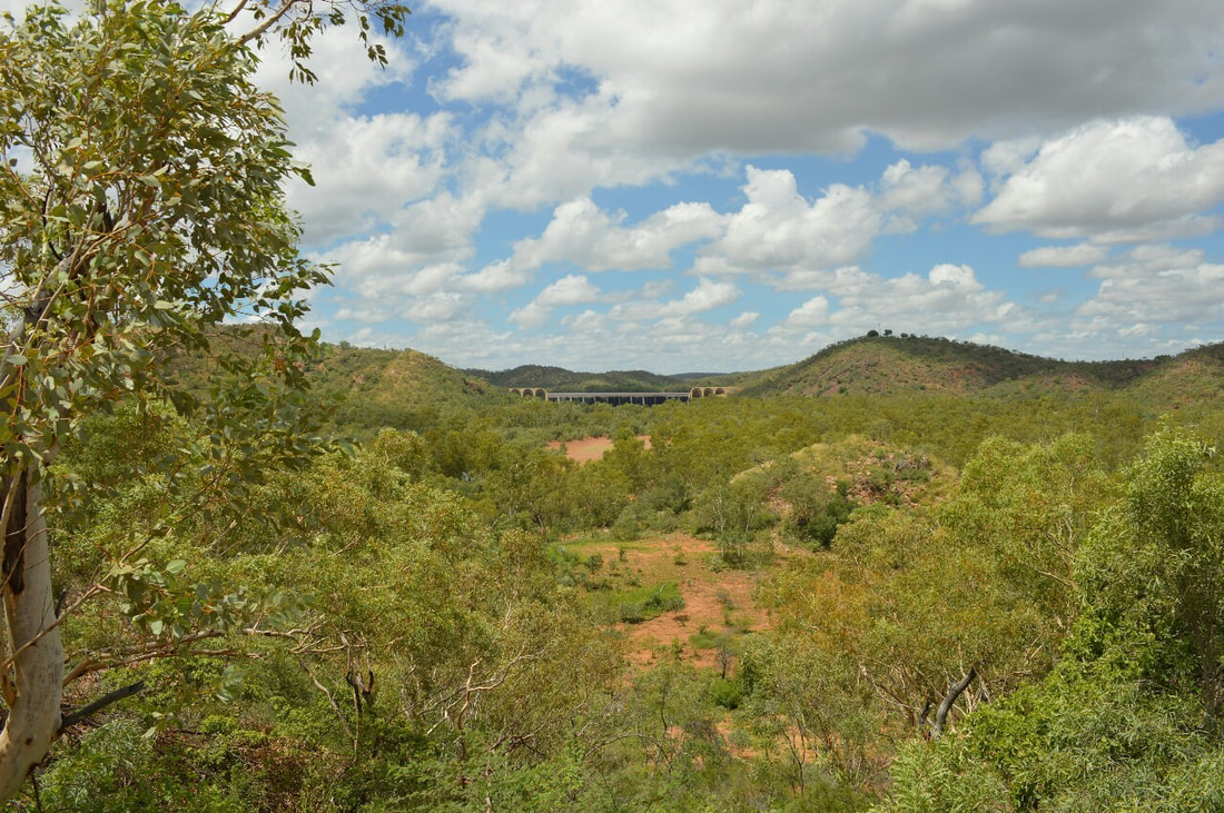
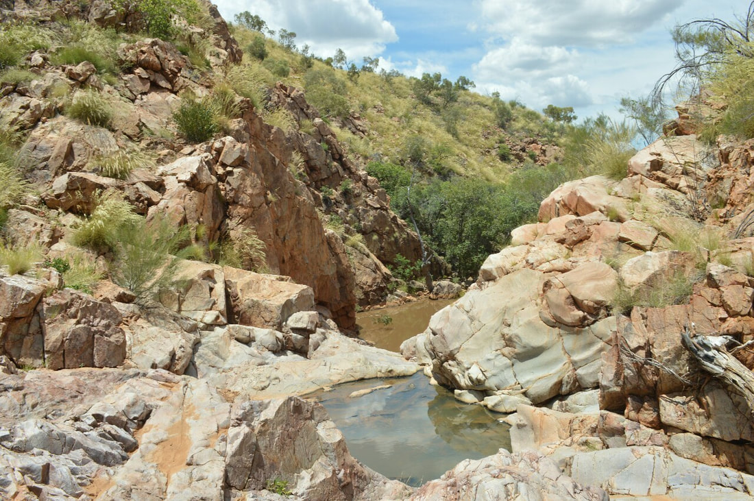
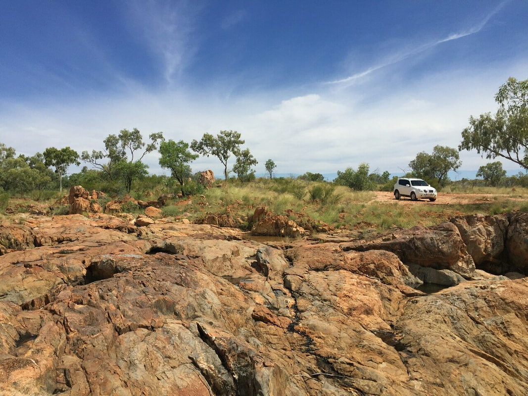
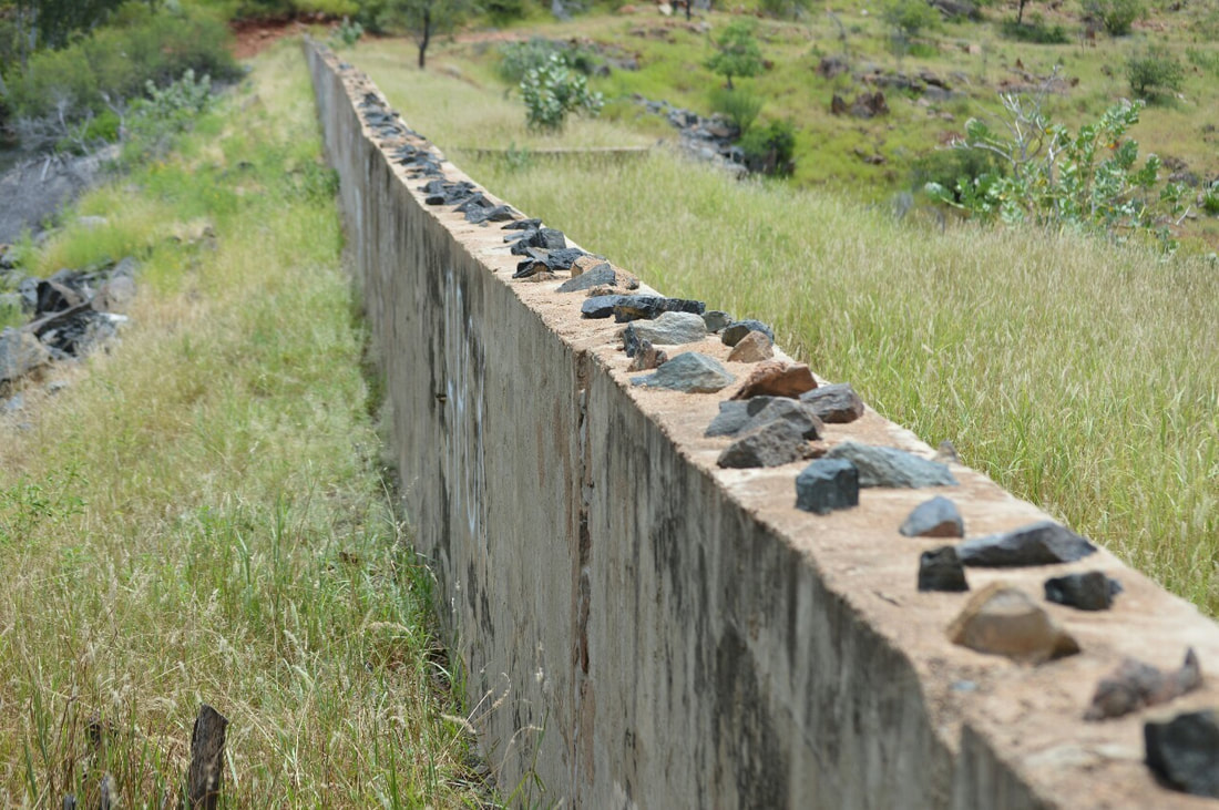
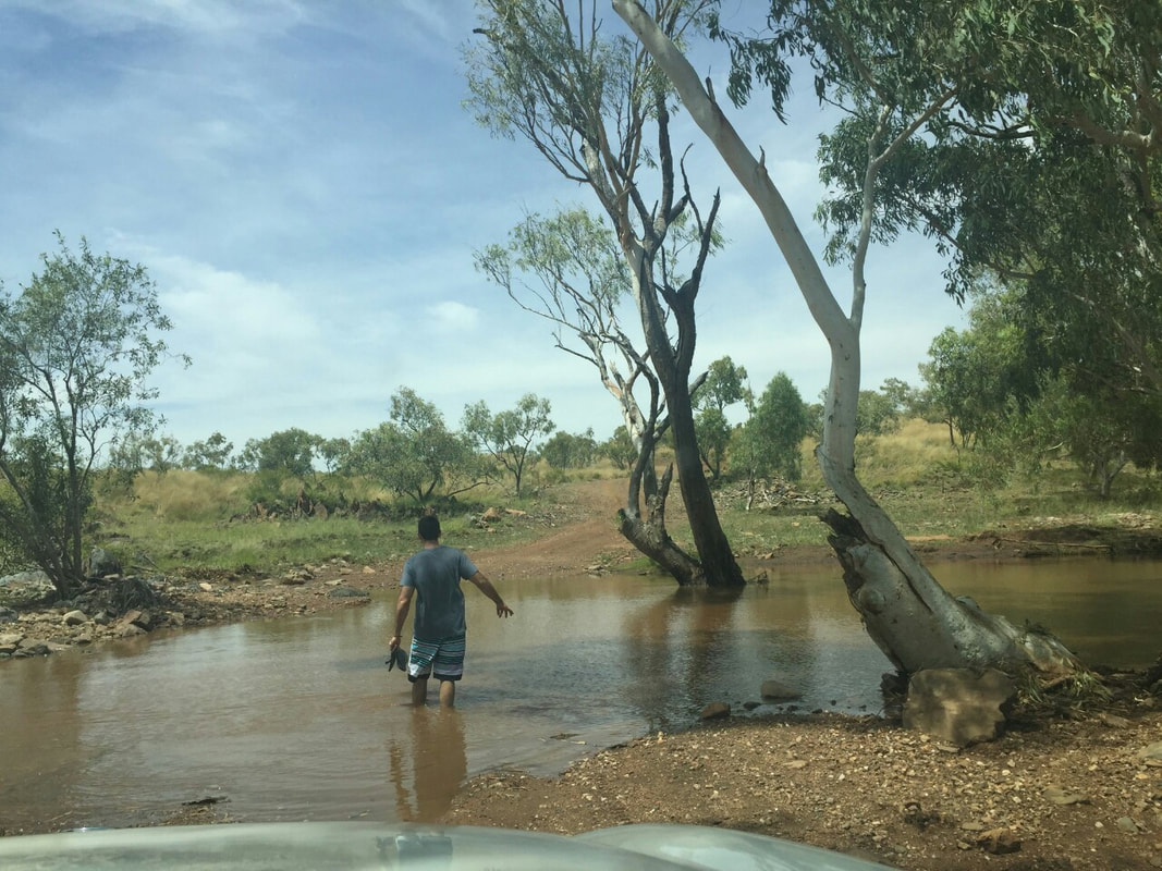
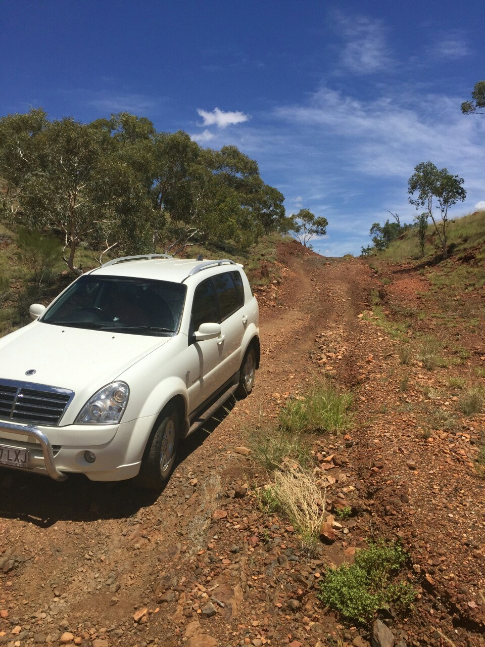
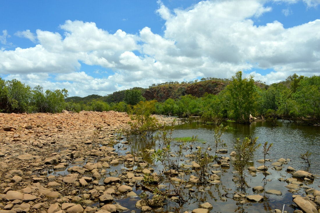
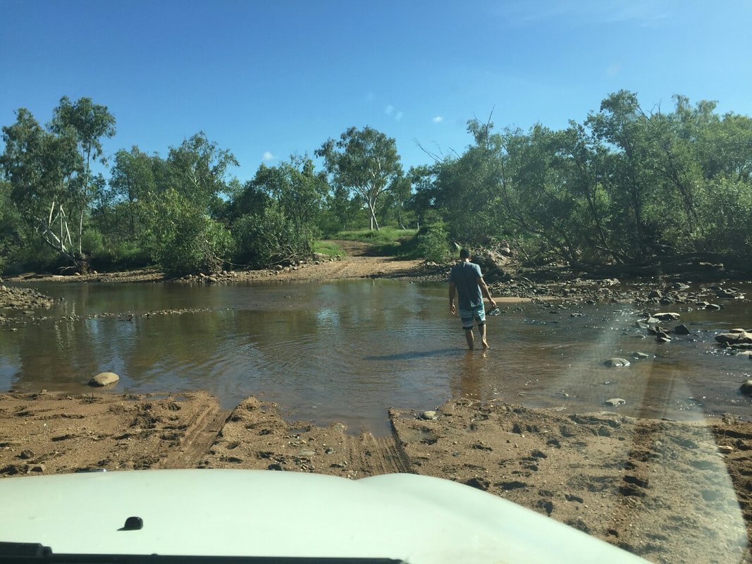
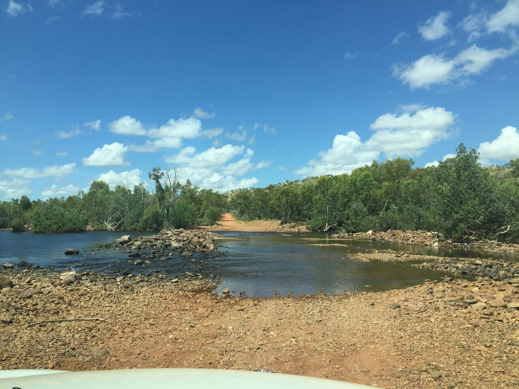
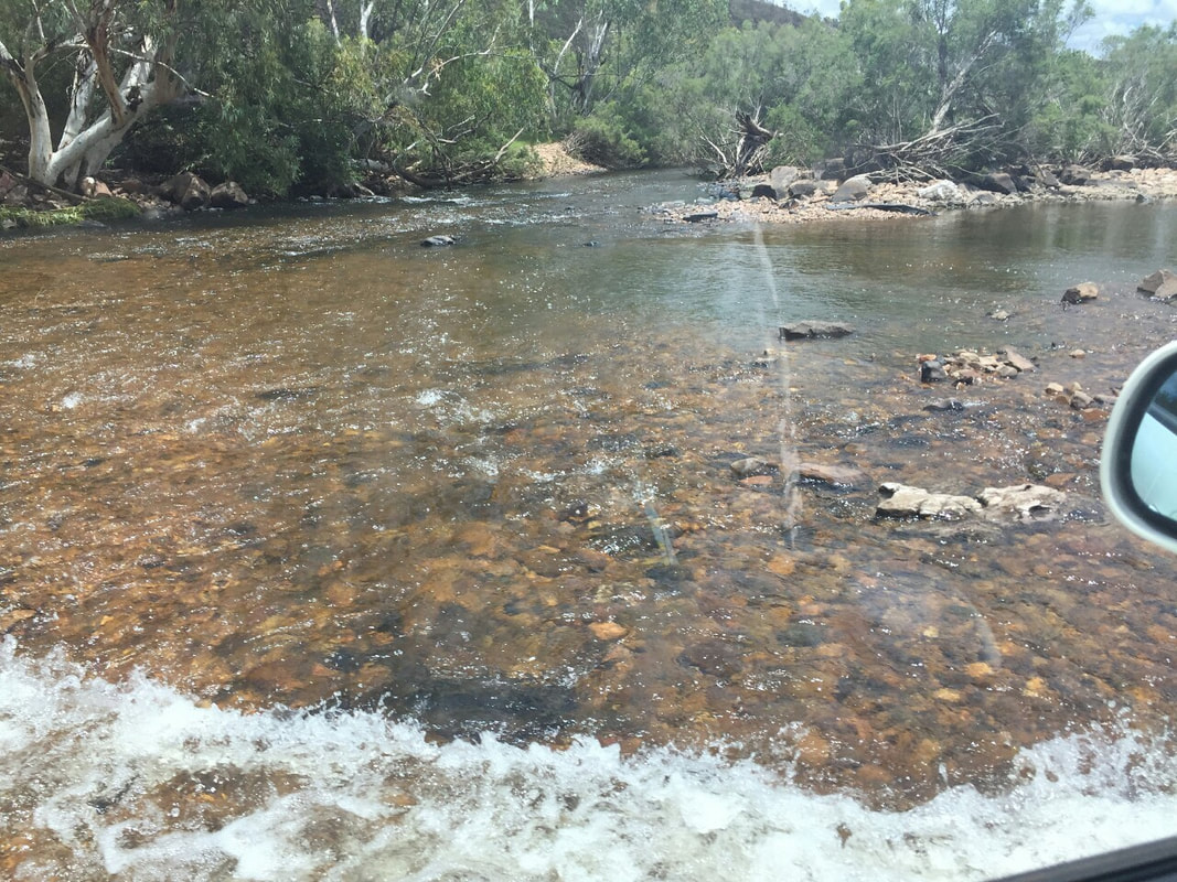
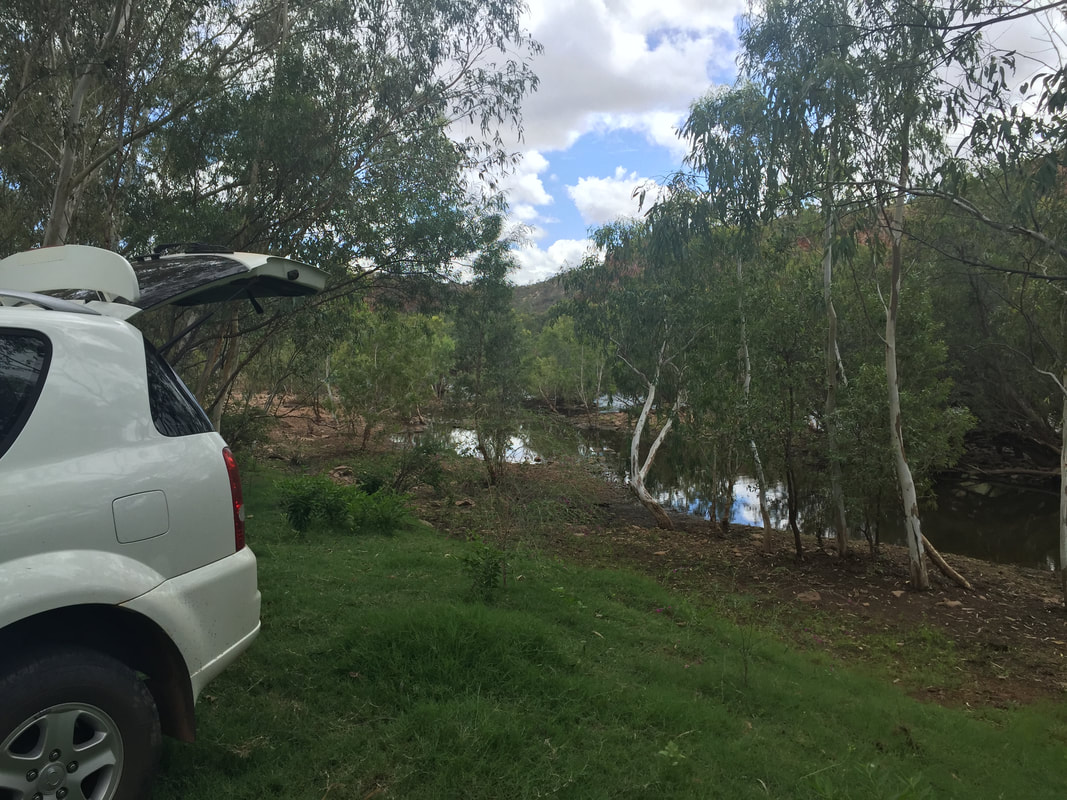
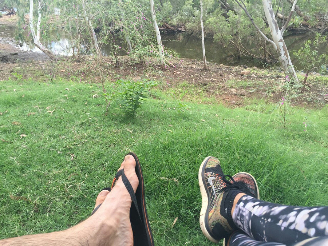
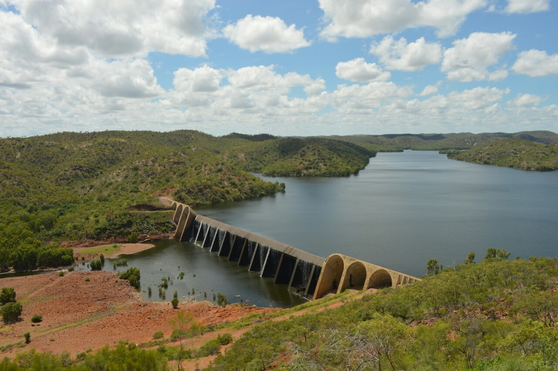 A 90 kilometre gravel road with many ditches and river crossings took us to Lake Julius, the secondary water supply to Mount Isa. The lake was constructed in 1976, with a unique arch and buttress structured dam wall. The lake is at a junction with Paroo Creek and Leichhardt River holding 107,500 megalitres at full capacity. During the trip Rex flexed his muscles and took us across the running waters of the Leichhardt River, which led us to great views of the dam wall and a relaxing lunch spot by the river. We got lost looking for Kajabbi and ended up on very remote road so we turned back and headed for the Isa. We even lost one of Rex's number plates ploughing through some water, but thankfully found it poking out of some mud on the return journey.
|
The JourneyChoose Curiosity The Catalogue
November 2023
The Tags
All
|

 RSS Feed
