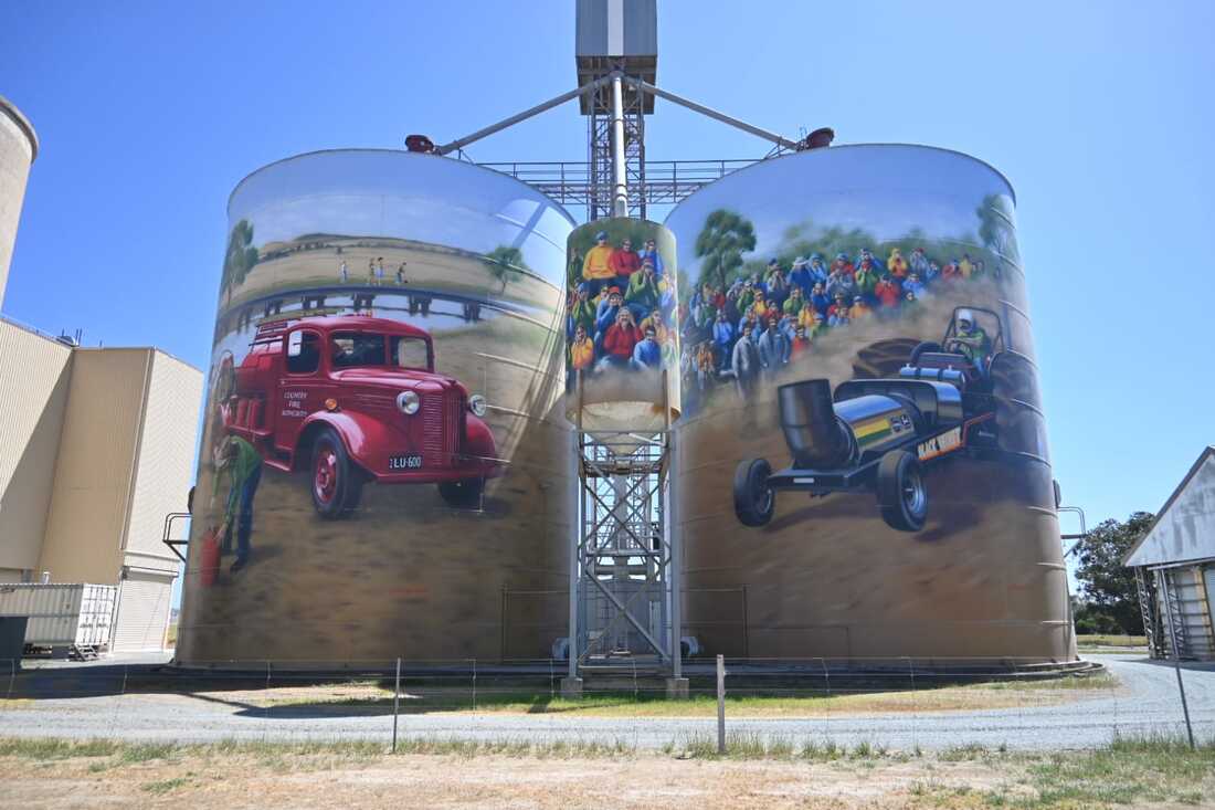
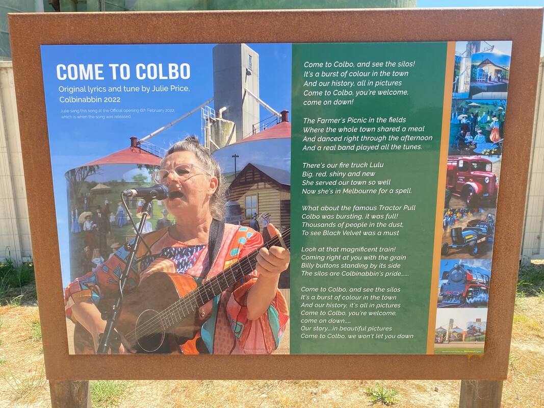
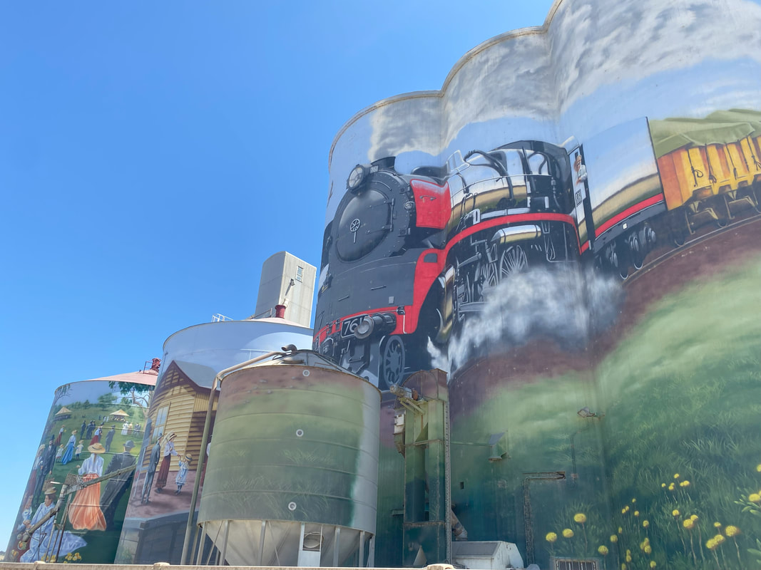
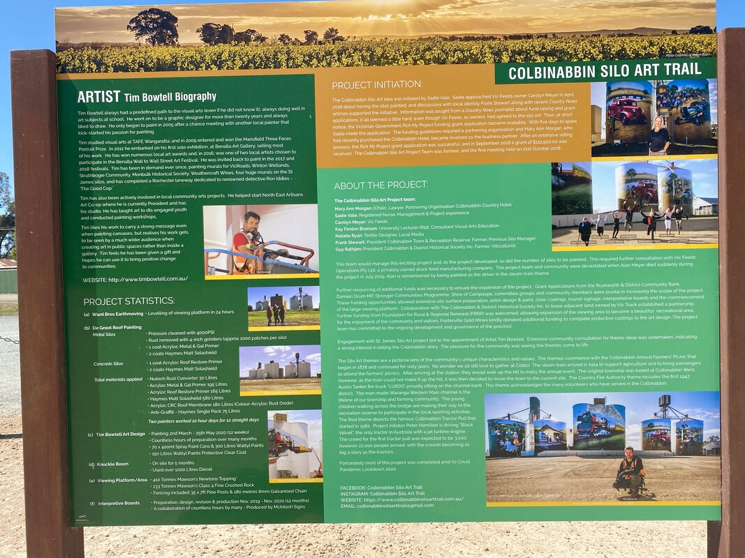
Colbinabbin Silo Art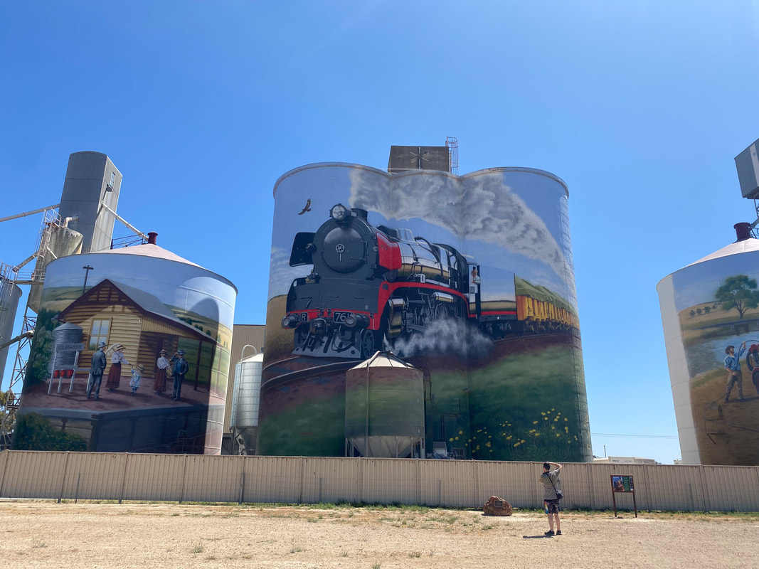
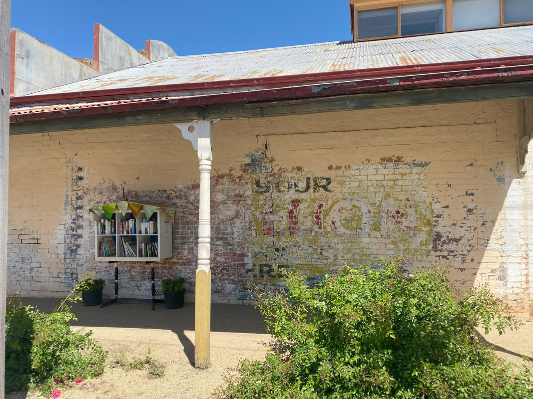
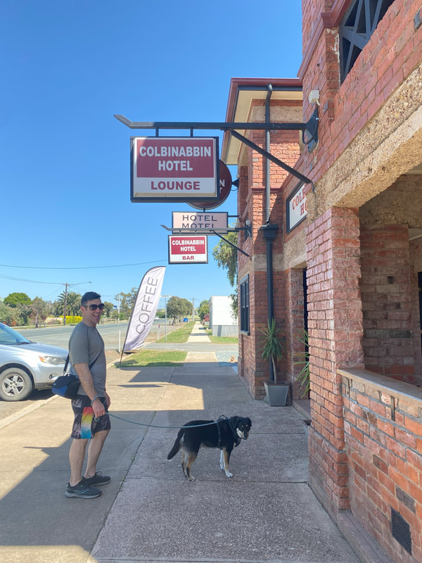
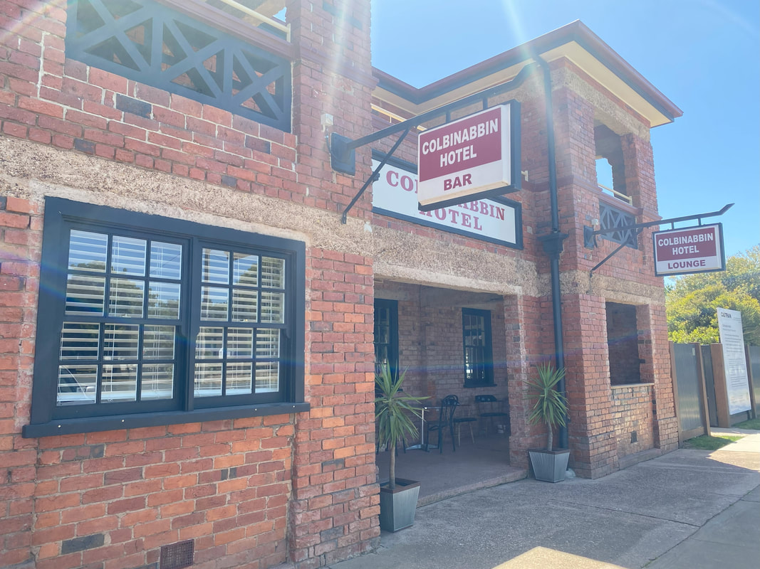
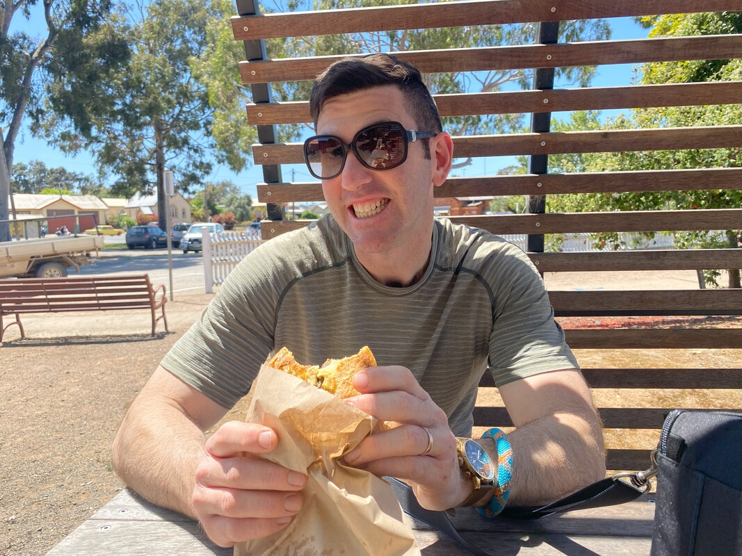
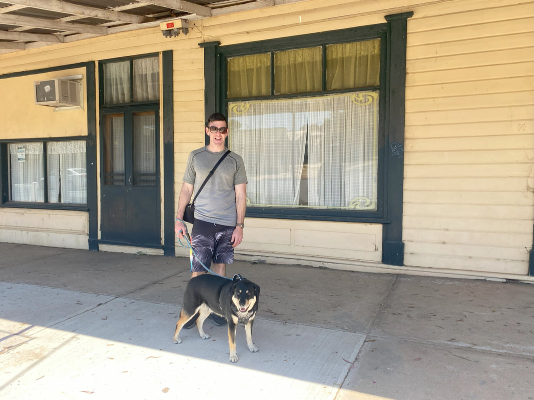
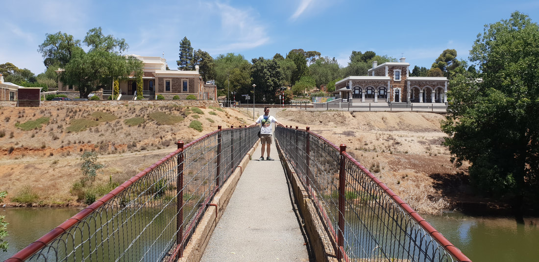
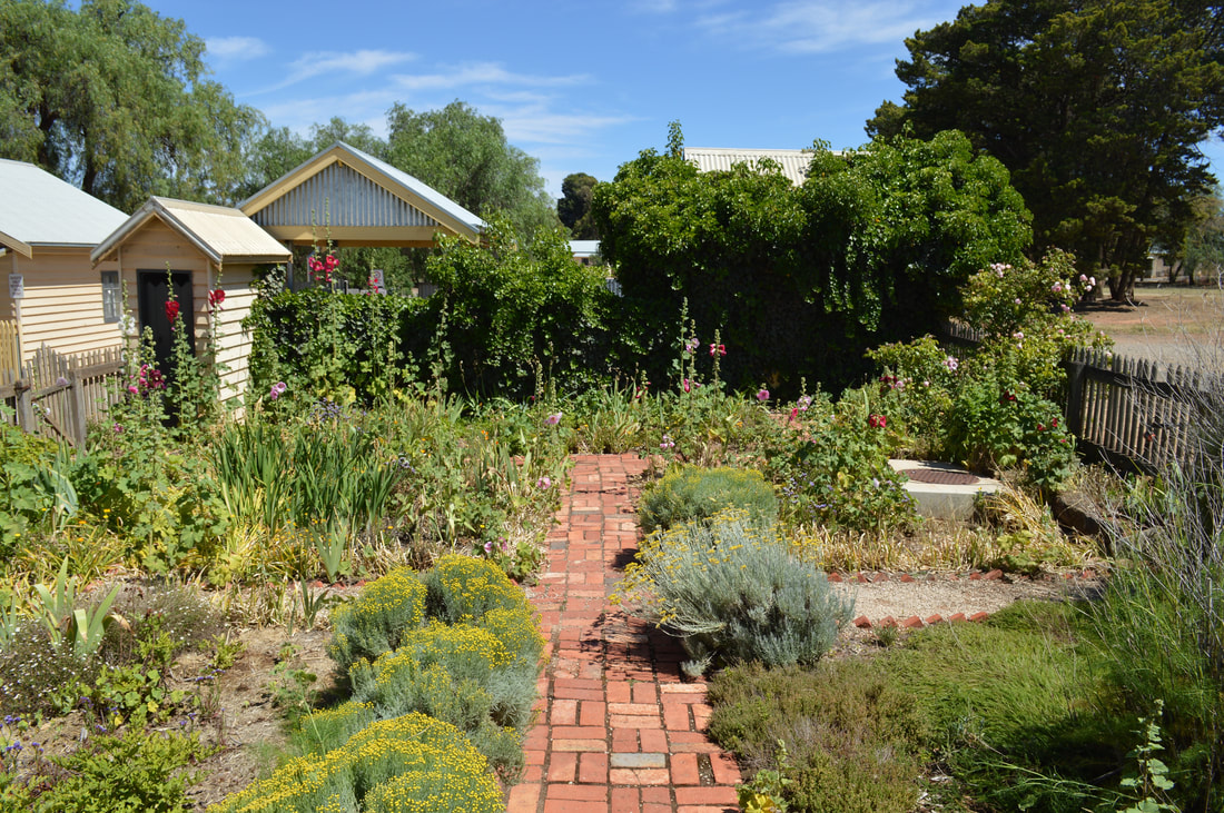
Colbinabbin Around Town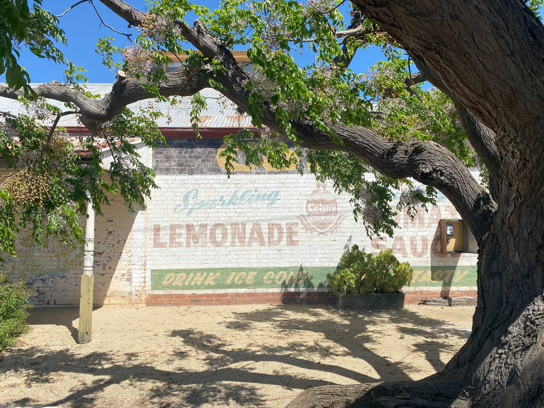
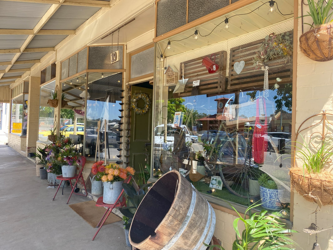
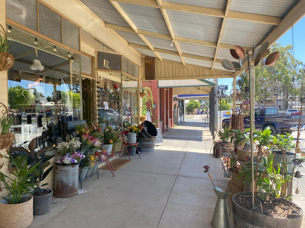
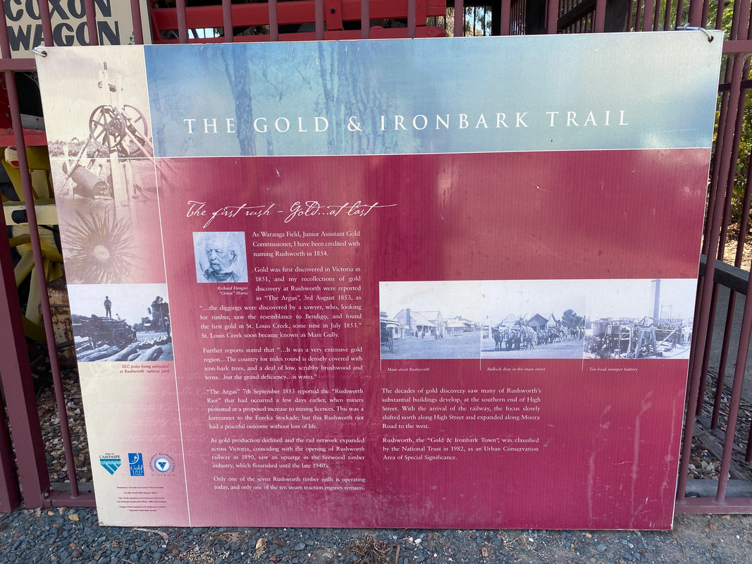
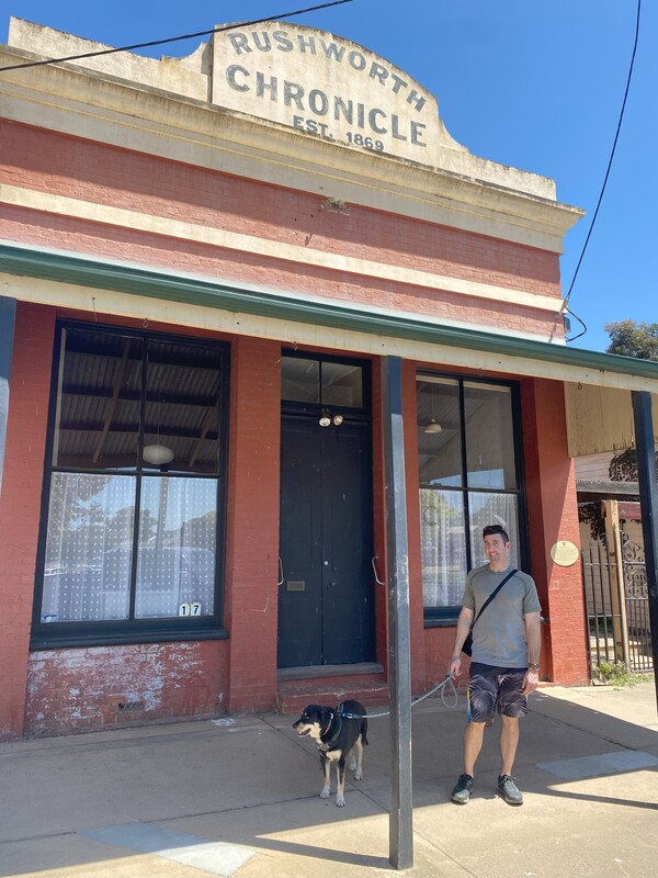
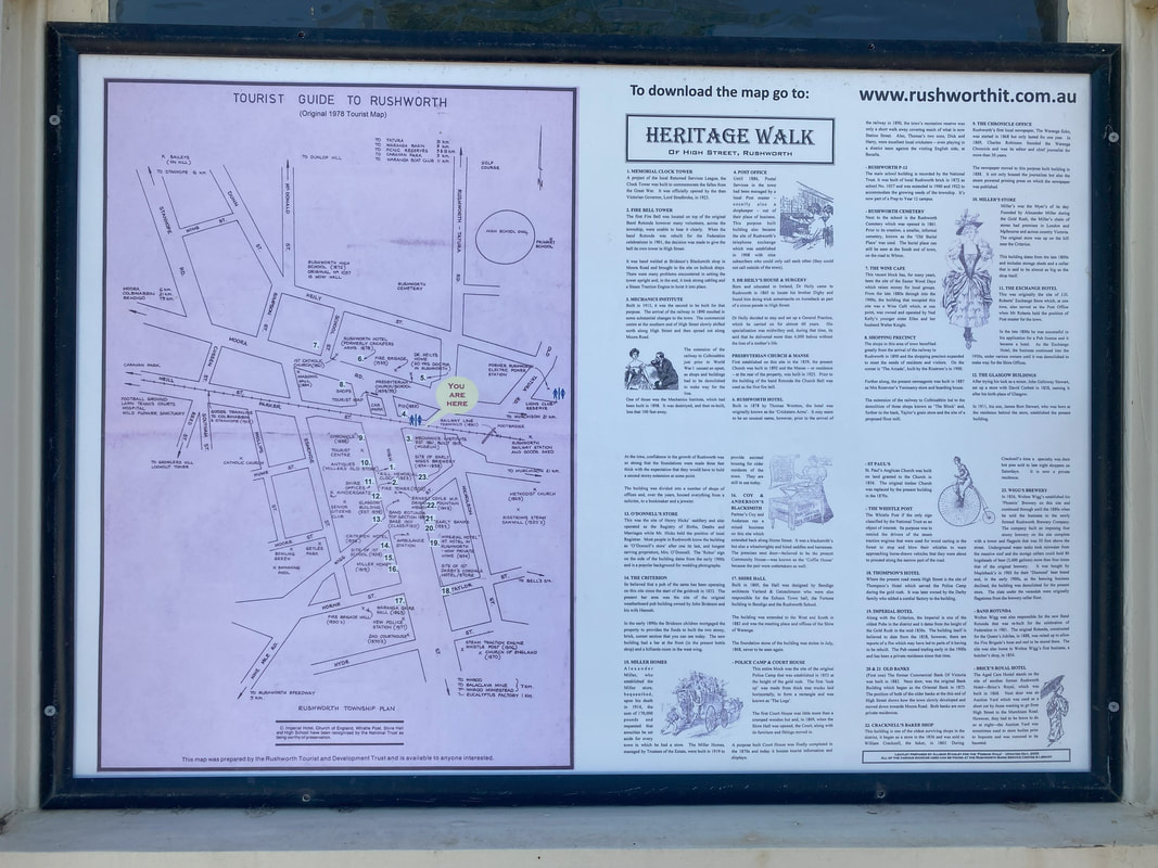
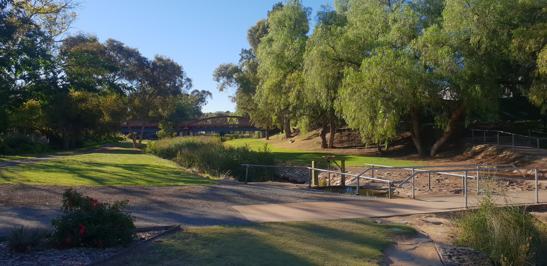
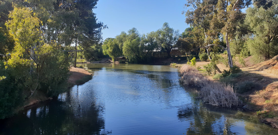
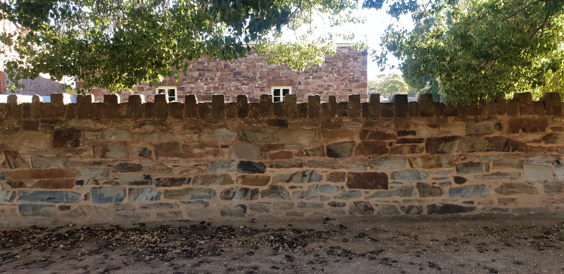
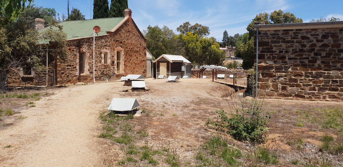
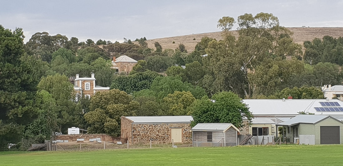
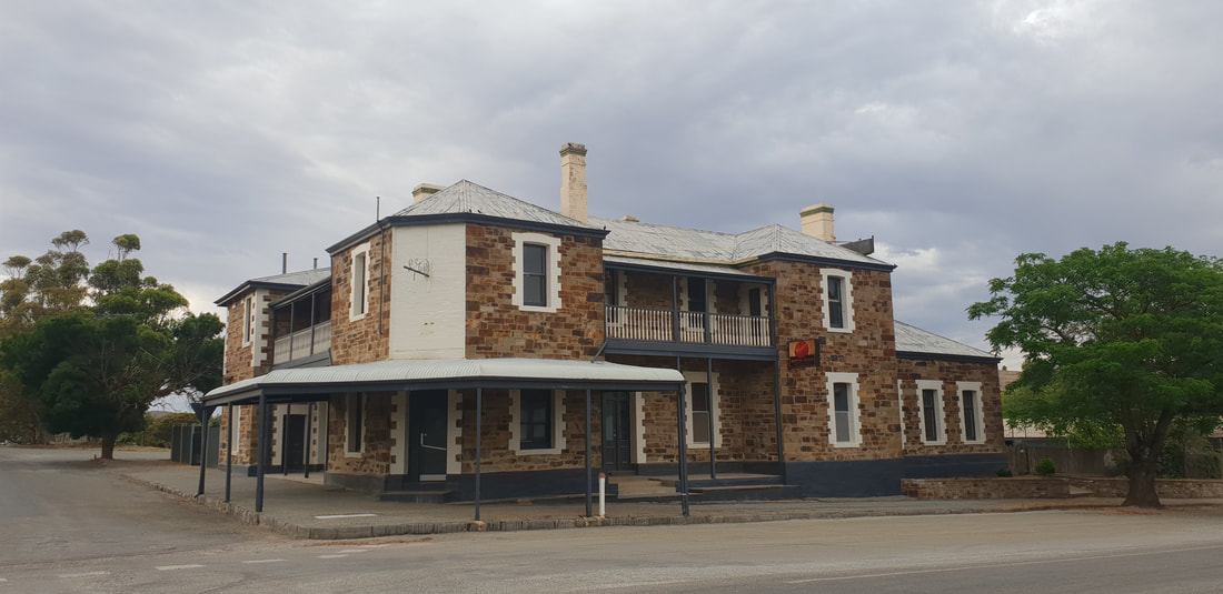
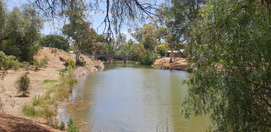
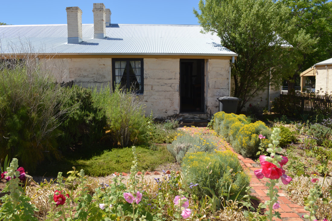
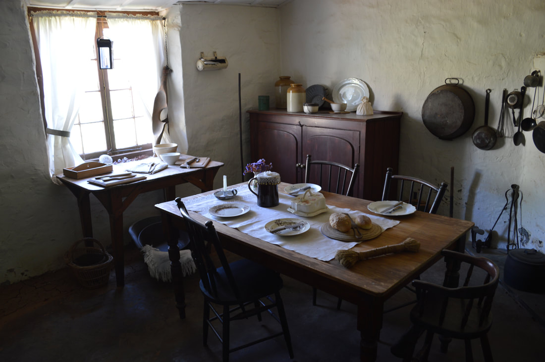
Rushworth Around Town
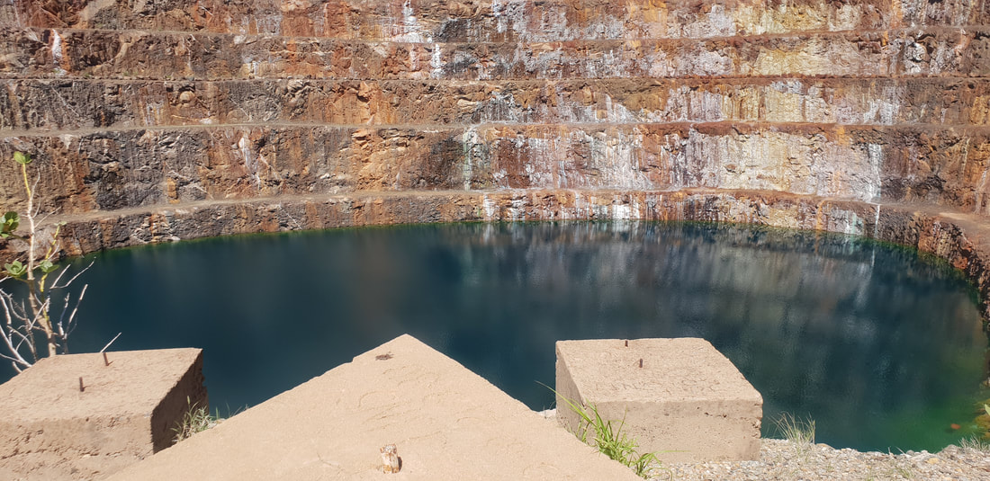 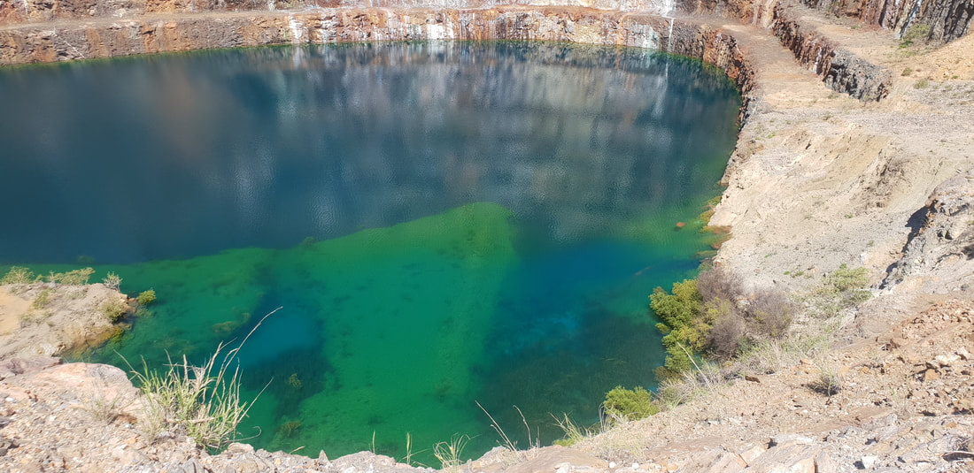
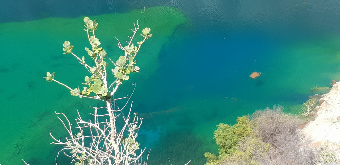
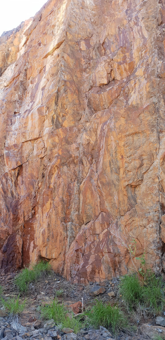
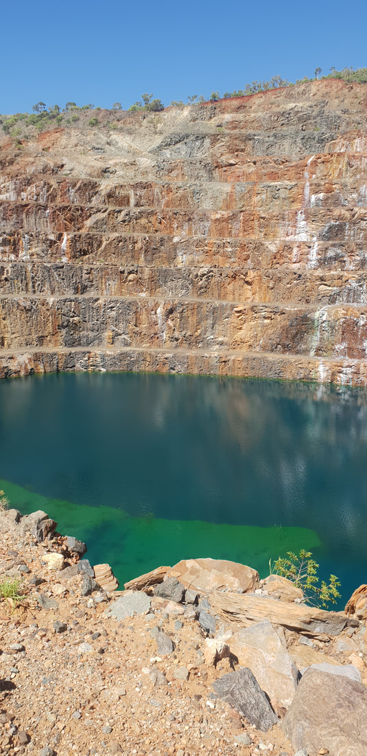
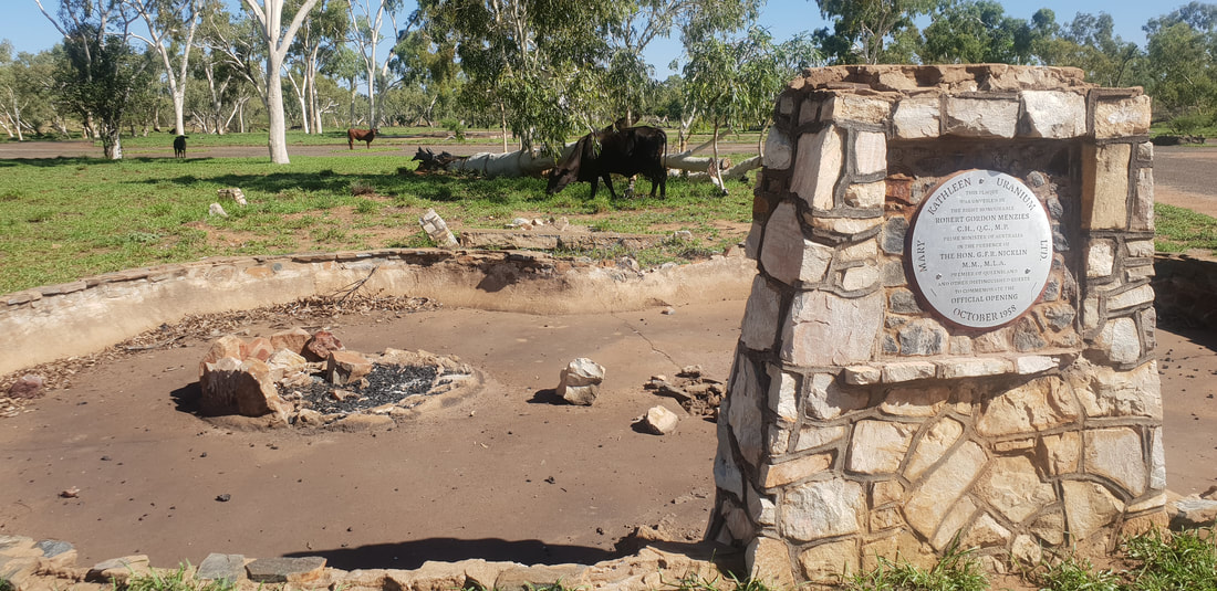 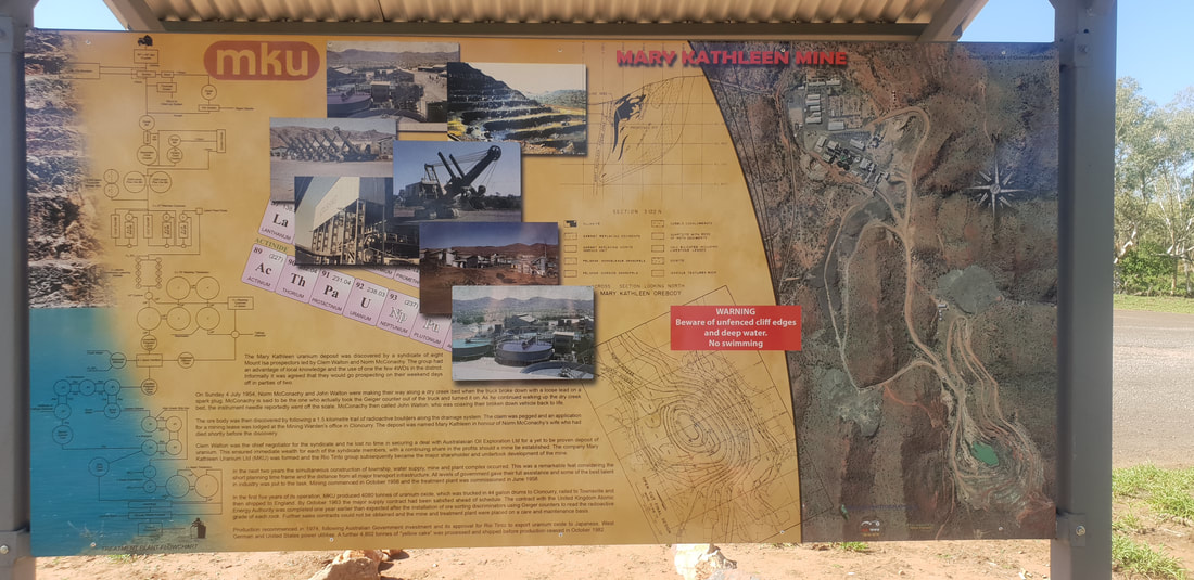 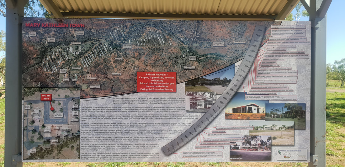 Since our last adventure in 2017 to the old uranium mining town of Mary Kathleen situated half way between Mount Isa and Cloncurry, there have been some significant improvements, such as signage and a new town plaque. The flooded open pit mine that appears turquoise in colour has become a viral Instagram sensation, with many making the pilgrimage to outback North-western Queensland just to add the mysterious “lake” to their "grids". This time for us however, the colour appeared less turquoise and more royal blue, similar to that seen at the Blue Lake in Mount Gambier in South Australia. According to an article published in 2016 by the North West Star, an enduring Mount Isa news provider, the “spectacular blue colour” is attributed to the minerals seeping from the mine walls; for instance, red rust colours are often associated with iron, whilst blue and green colours are attributed with copper. Despite the appeal, this is definitely not a place to swim, as a former uranium mine there is still a risk of radioactivity present at the site, but massively worth the effort to see it in person as photos never truly capture the genius loci of a place.
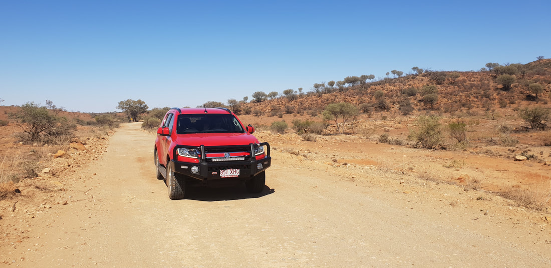
To reach Rosebud Dam, take the turn off to Fountain Springs at the Fountain Springs road-side rest stop halfway between Cloncurry and Mount Isa. Rosebud Dam is past the abandoned township of Bulonga and the remains of the Rosebud Smelter along the usually dry Corella River. When we last visited Rosebud Dam, we used the 2015 Cloncurry Trails Off-Road Touring Guide but since returning to the Isa have upgraded to the 2019 version. Highly recommended! 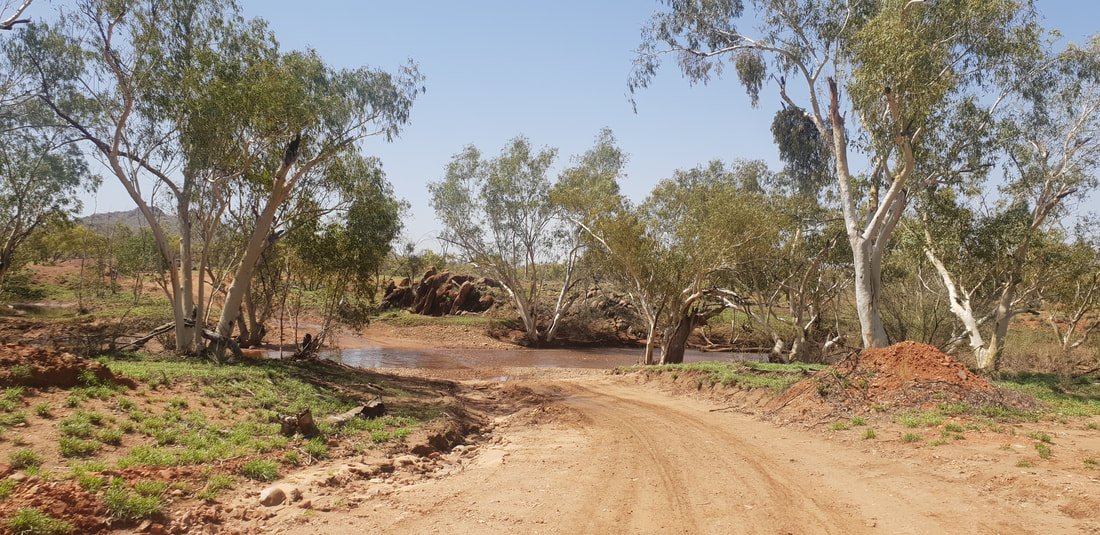 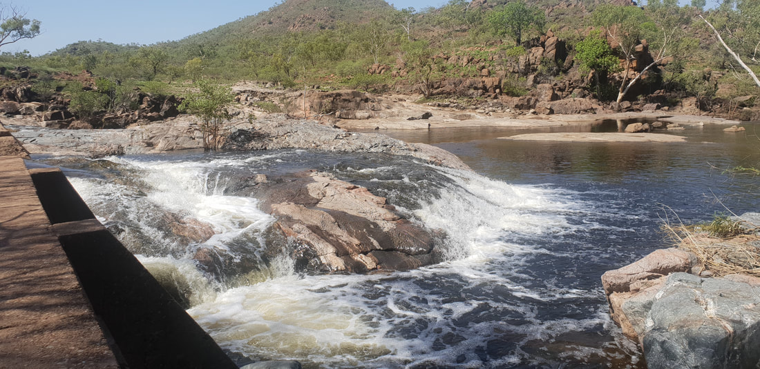 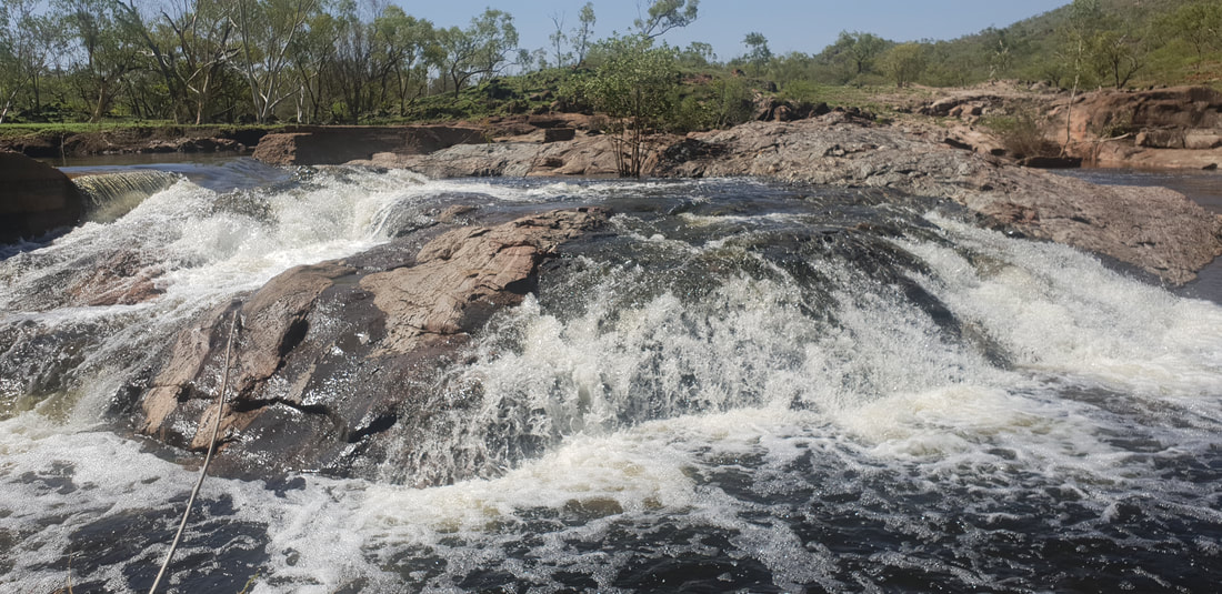 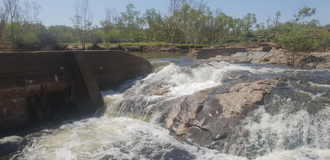 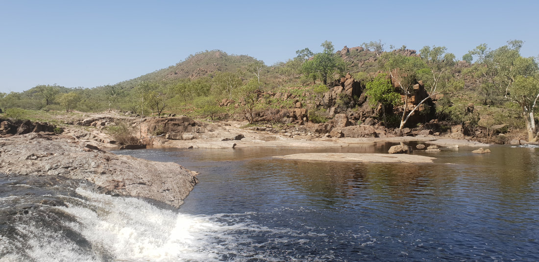 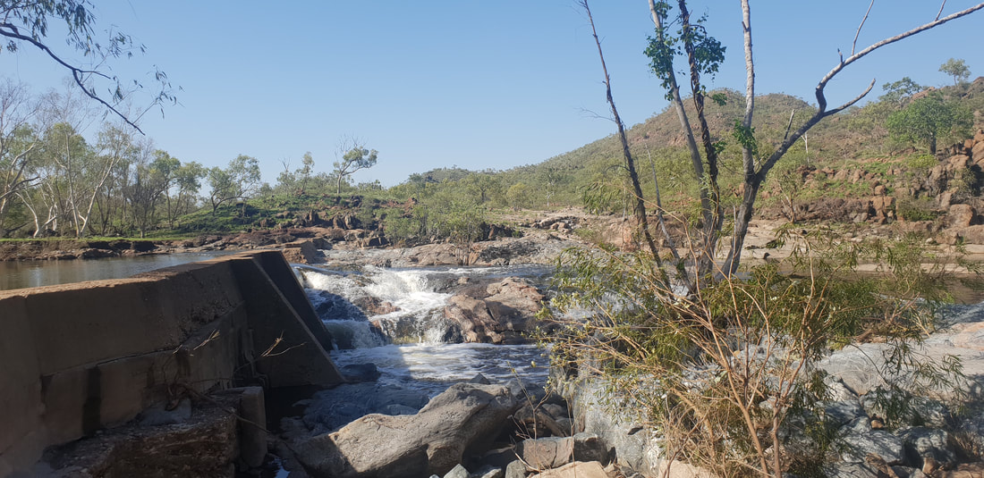 
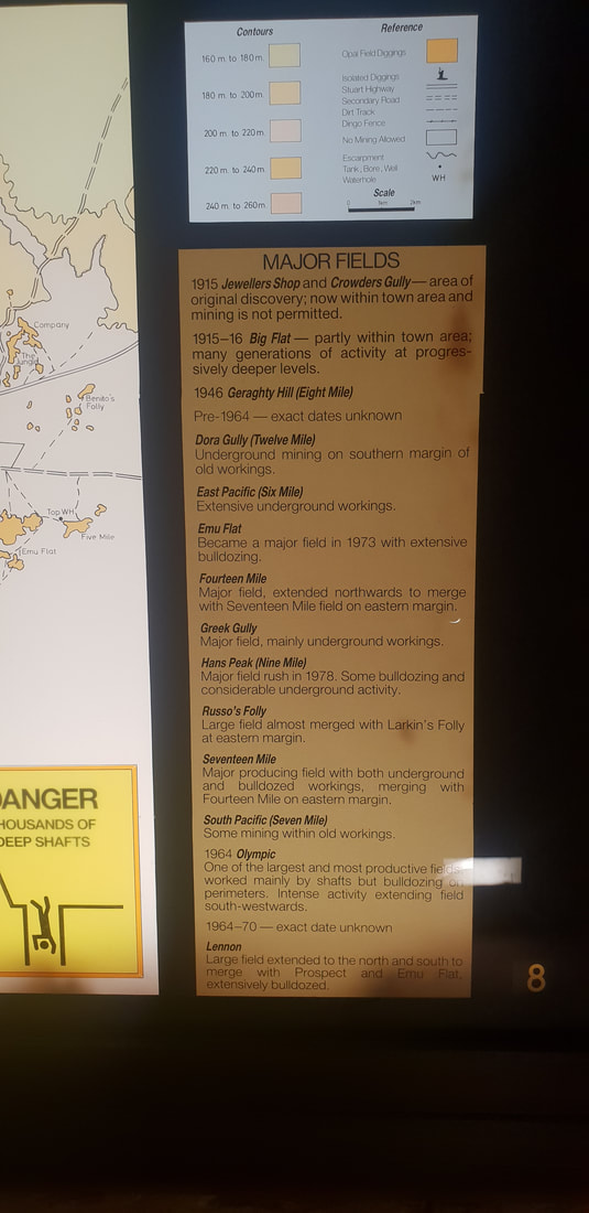
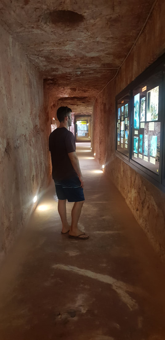
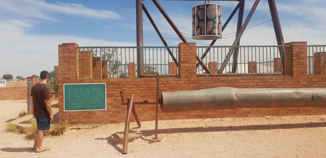
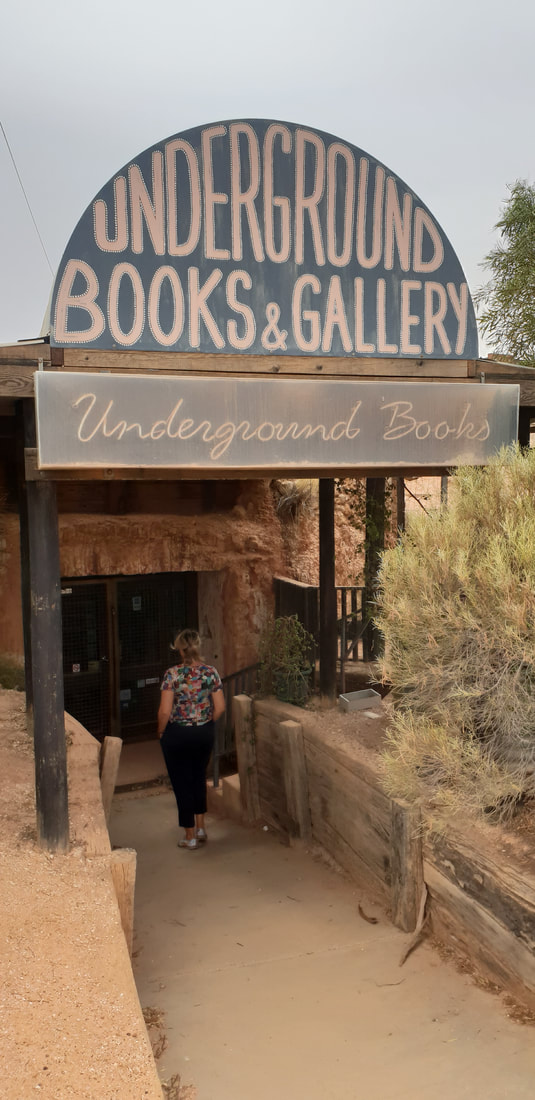
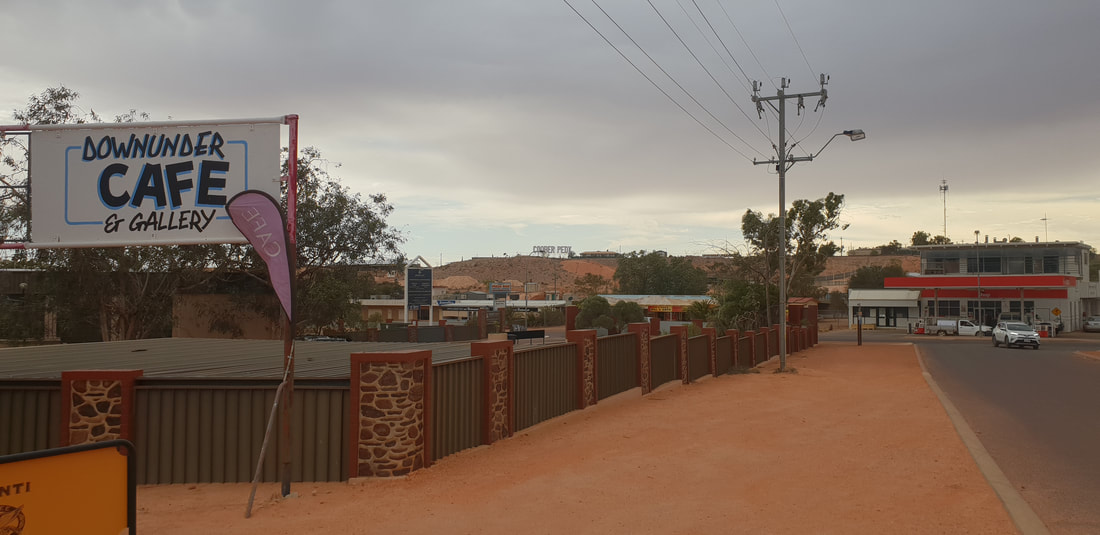
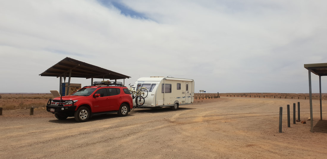
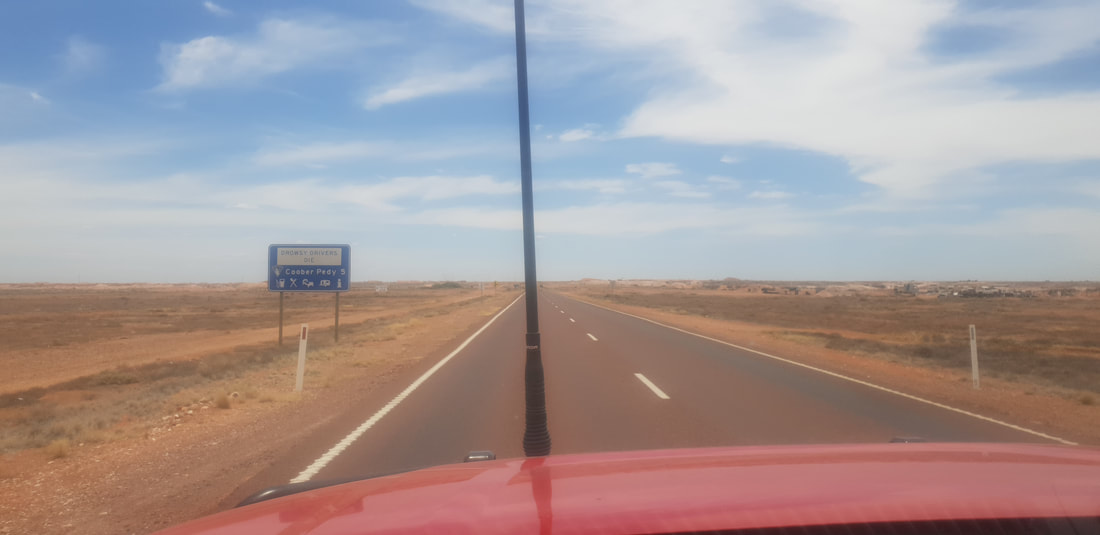
Around TownKnown as the opal capital of the world because Coober Pedy produces more stones by mass, opals found in Coober Pedy are often of the crystal variety of which the base colour is transparent or translucent. The more fiery or intense the colours the more value in the stone. Australia produces roughly 95% of the world’s opals, opals found in Lightning Ridge in Queensland are of a higher quality than that of Coober Pedy. Opal mining is extremely demanding as about 85% of the opal found, called potch, holds no colour and is therefore of no value. Opal mining began in 1915, however the opal mining boom occurred much later in the 1970s after an influx of European migrants fleeing war-torn countries ventured to the region to stake their claim. Surprisingly we were treated in Coober Pedy to an awesome IGA that stocked all our favourite health food products including kombucha that we were very grateful for. We also dinned out the local bakery recently revamped by a couple from Adelaide and the local pizzeria. We absolutely loved visiting Coober Pedy, despite the heat (we were there in mid-Summer) the atmosphere was welcoming and our curiosity was tickled as we ventured throughout the town, into the underground shops and marvelled at the hard work endured by the pioneering migrants who toiled in challenging and often dangerous conditions to make a living.
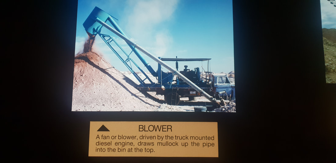
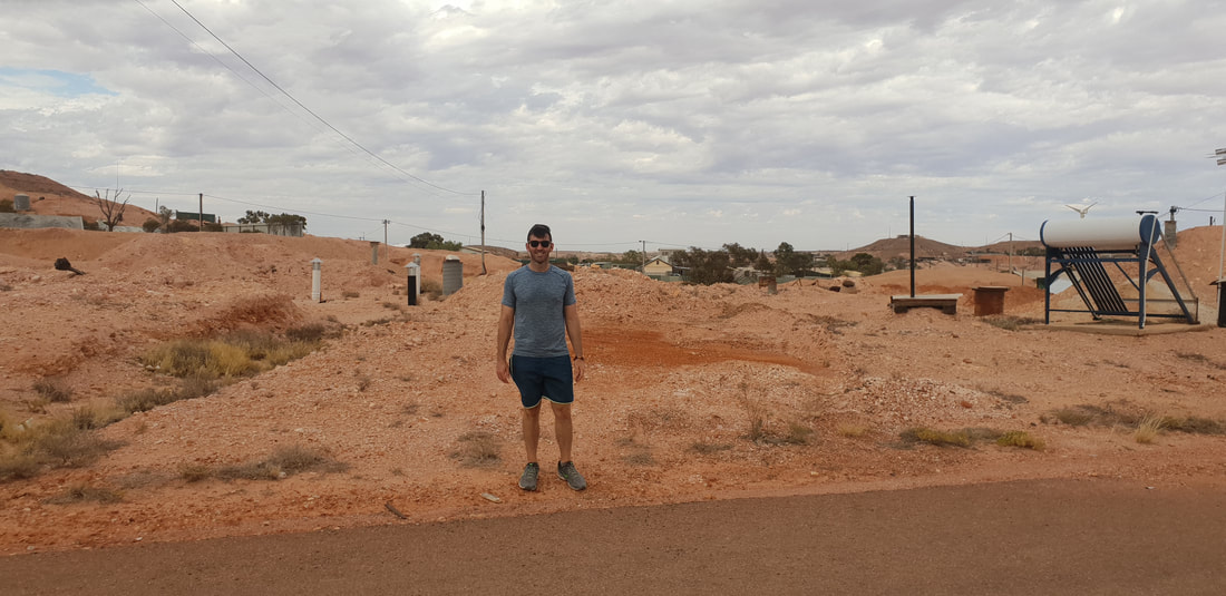
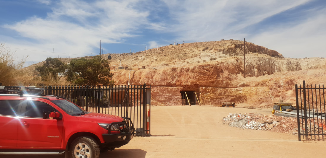
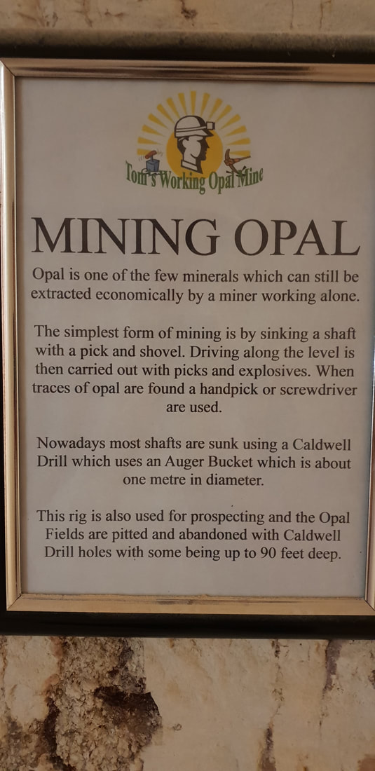
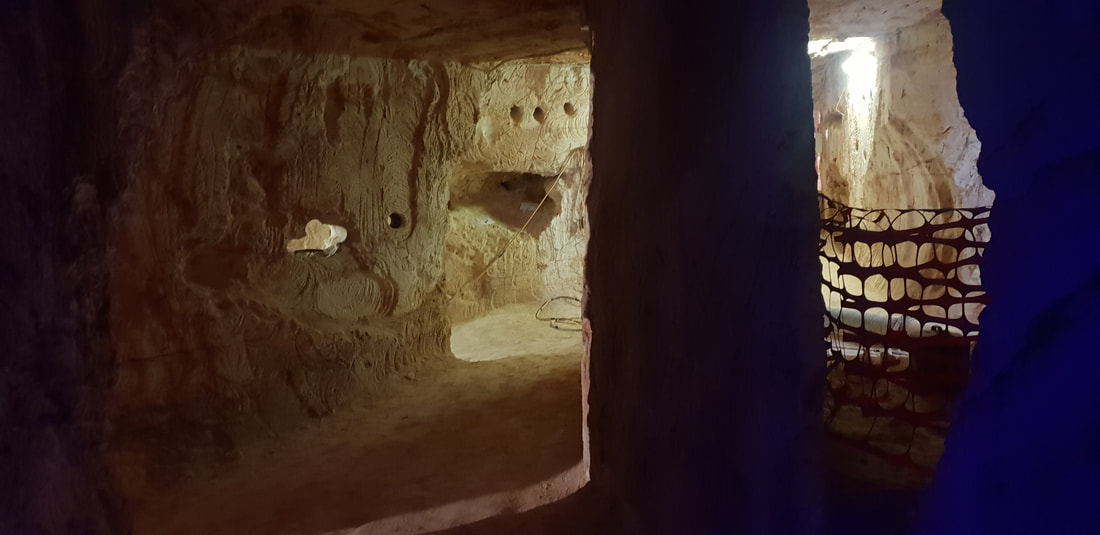
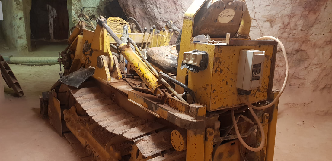
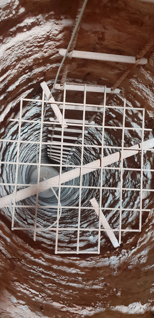
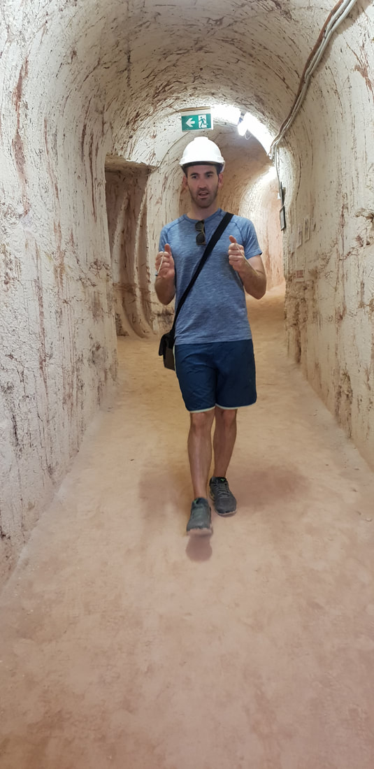
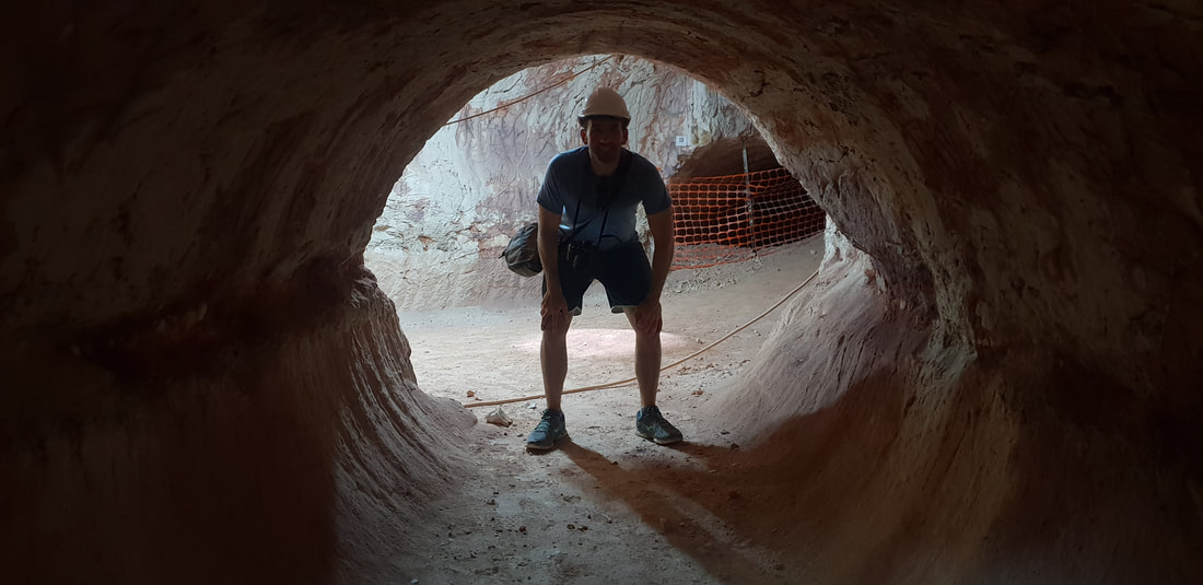
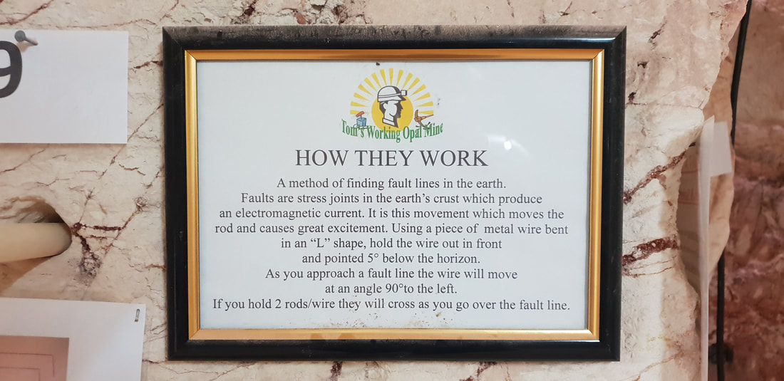
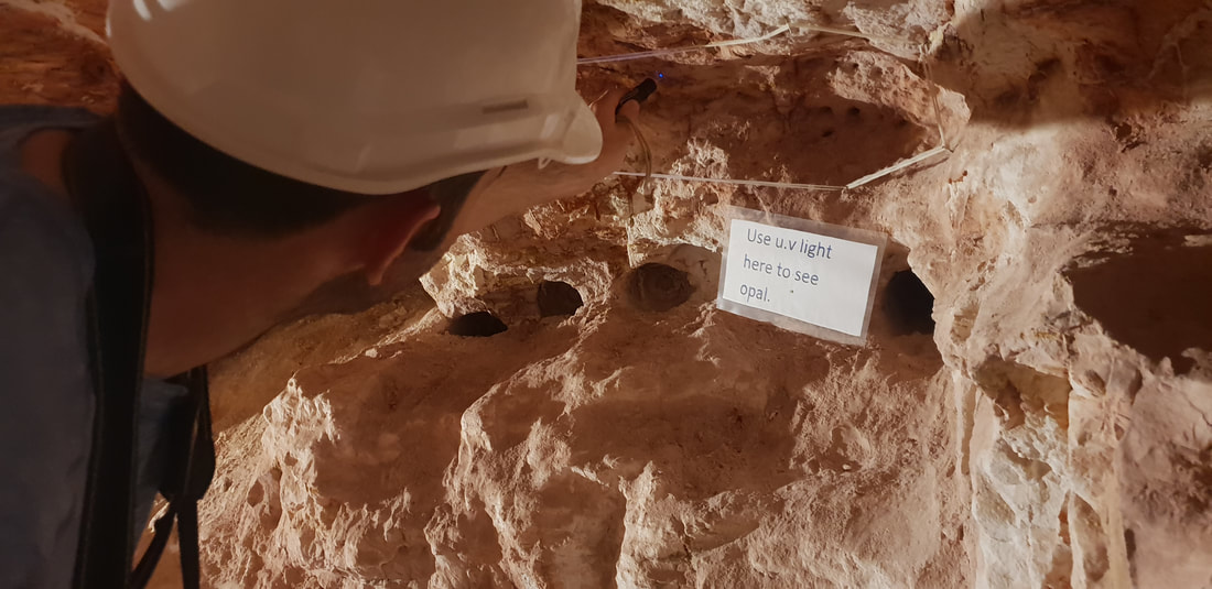
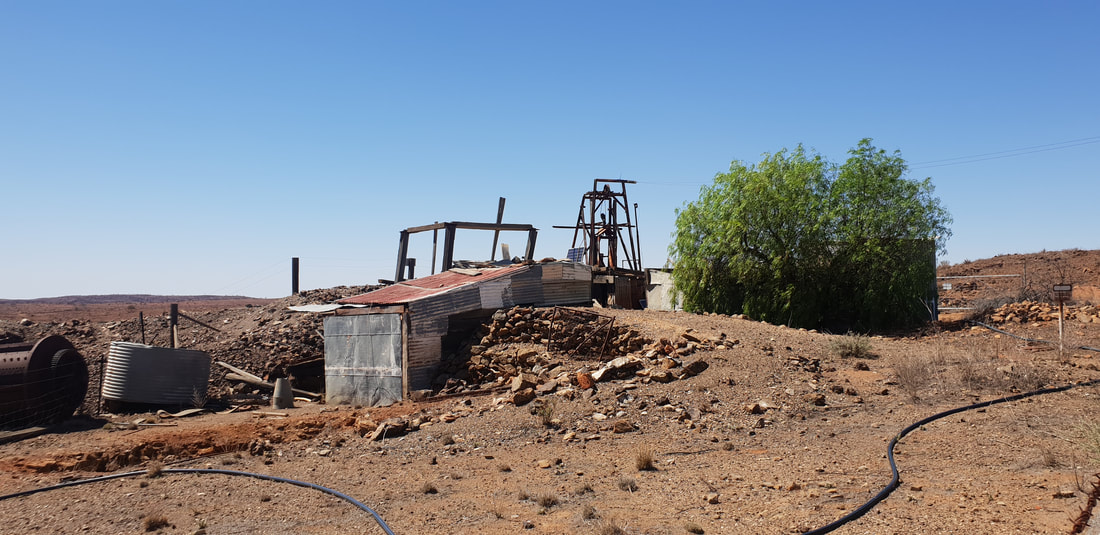
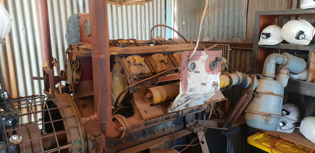
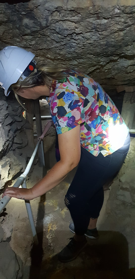
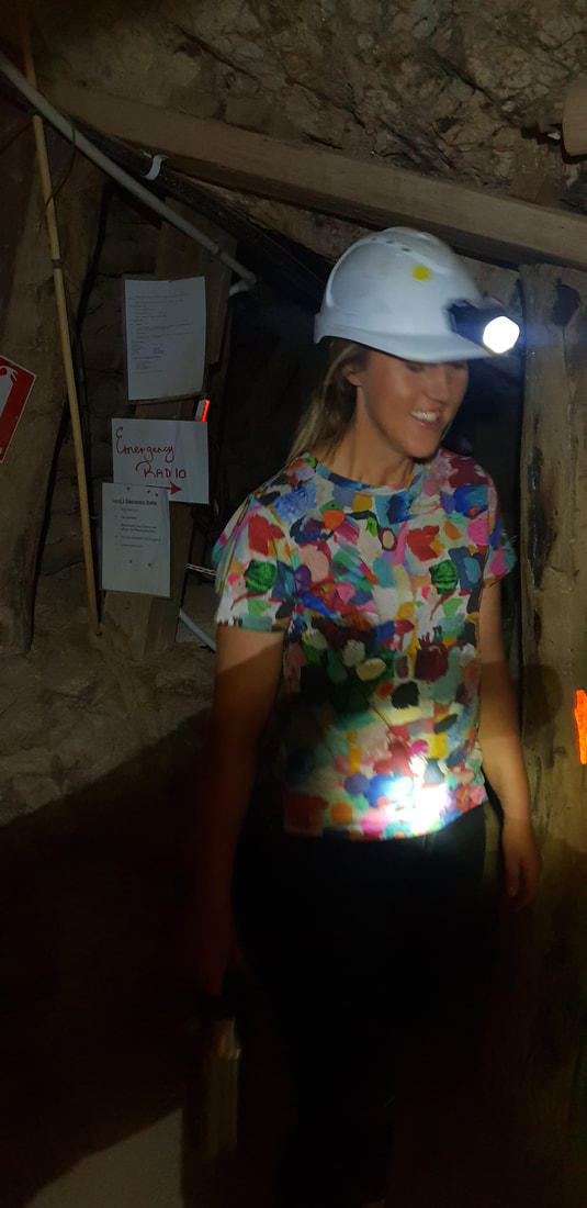
The name “Coober Pedy” comes from the Aboriginal Australian kupa piti, meaning “boys’ waterhole.” However, another type of hole has become quite a hazard. Over the years, miners have dug over 250,000 shafts, making Coober Pedy a dangerous place for tourists to walk around carelessly. source Gem Society Tom's Working Opal MineAt Tom’s Working Opal Mine, which I don’t believe is an active mine anymore, we watched a video of the mine being detonated, which involved a stick of dynamite being placed into a predrilled hole and ignited. We laughed uncomfortably as the person holding the camera began to shake and back away quickly. The camera holder and the igniter both exiting the mine moments prior to hearing the bang and a burst of dust and rock escaping the hole. 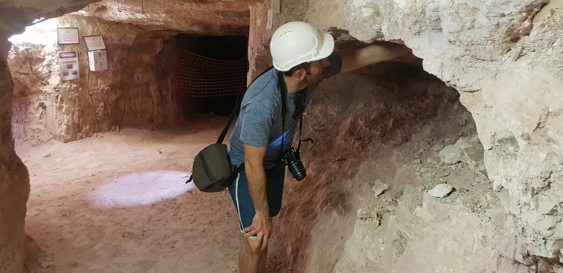
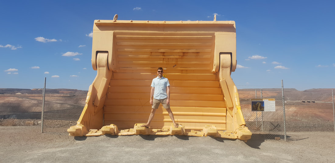
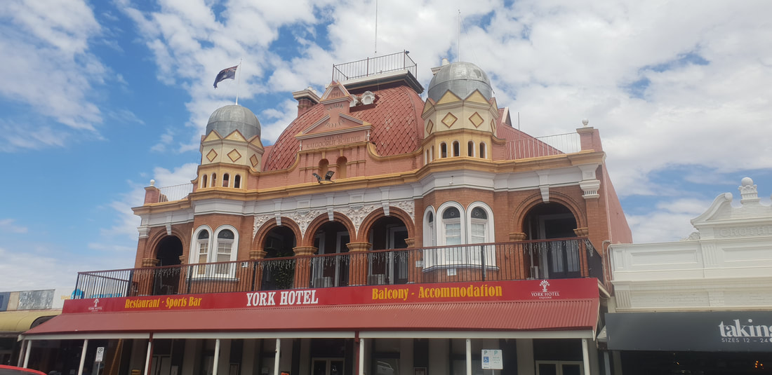
We arrived in Kalgoorlie with the intention of perhaps obtaining work and staying for a while, however after Shovel experienced the run around by workpac, a recruitment company, we made the decision to abscond a few days later. Never ones to miss an opportunity to explore, we made the most of being in town and ticked a visit to the ‘Super Pit’ off the list. Kalgoorlie’s main tourist attraction is of course the mine, one of the largest open pit gold mines in Australia. Also known as the Fimiston Open Pit, due to the style of mineralisation that is of abundant sulphides and tellurides, the rectangular or oblong shaped mine is approximately 3.5km long and 1.5km wide and 600m deep. Gold was first struck in Kalgoorlie in 1893, with Thomas Flanagan, Patrick Hannan and Dan O’Shea discovering the first alluvial gold on the slopes of Mt. Charlotte. Their find resulted in a gold rush with several independent mines tolling away on the ‘Golden Mile’ some unsuccessfully until 1989 when Kalgoorlie Consolidated Gold Mines (KCGM) bought out the mines to create the super pit we now see today. Production results published in 2018 stated about 800,000 ounces of gold was produced per year with mine life expected until 2021. The intention then is to process lower grade previously extracted ore until 2031. Earlier in 2018 the open pit mine experienced two substantial landslides in the space of 12 hours that ultimately resulted in the temporary shutdown of operations and a reduction in output, with joint venture partner Newmont Mining reassessing production life. Months prior to the landslides 36 employees were made redundant and more endured the same fate months after the landslides. This upheaval of production targets and uncertainty amongst the workforce could potentially have been the reason why the recruitment company was noncommittal, first saying there was work, then giving us the run around... 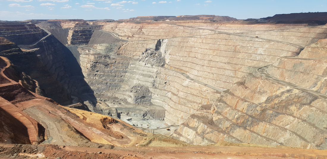 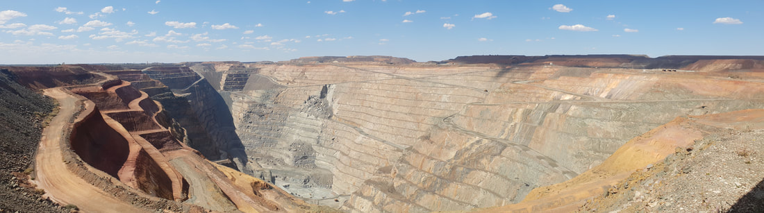
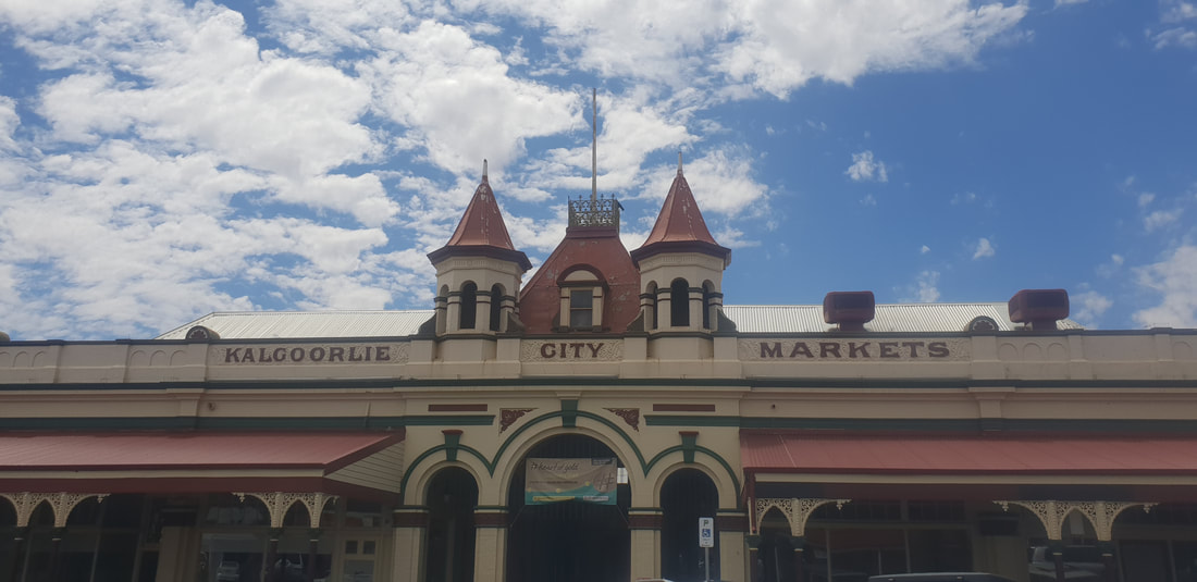
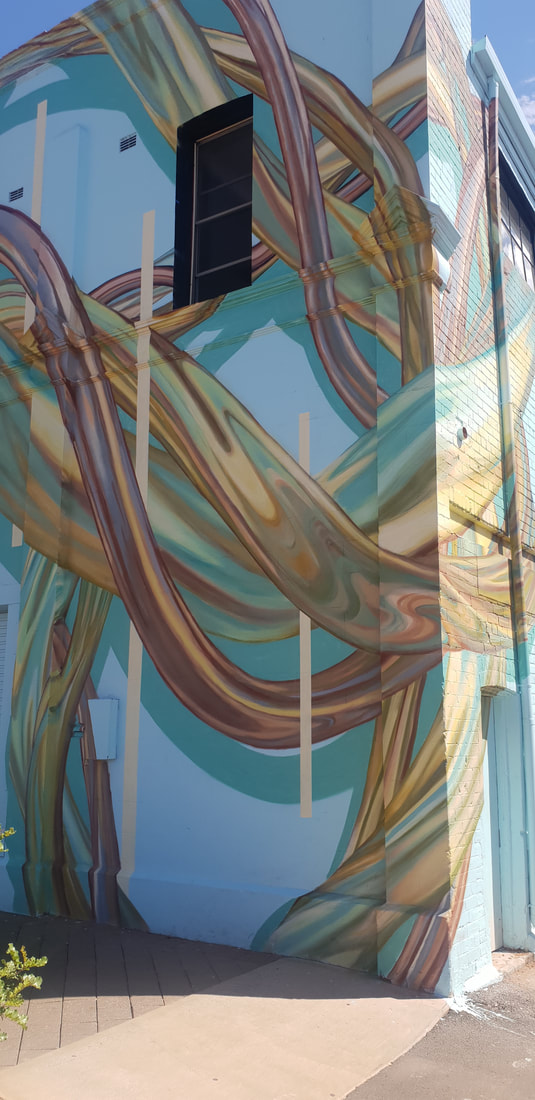
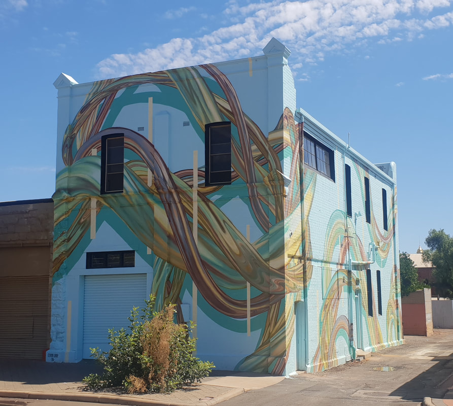
Now known as the City of Kalgoorlie Boulder the two separate towns amalgamated in 1989 and boast a stunning array of architecturally designed civic and commercial buildings in their main streets. When people flooded to the region to secure their futures in the late 19th century many came ill prepared for the harsh outback climate, hot dry summers with low rainfall. Much of the success of the two towns is owed to CY O’Connor, an engineer who was responsible for the design and construction of a freshwater pipeline from Mundaring Weir near Perth to Mount Charlotte Reservoir in Kalgoorlie. The original pipeline first constructed in 1903 is still in use today and remains the lifeline for the region, without this pipeline the town would not be viable. HEART WALK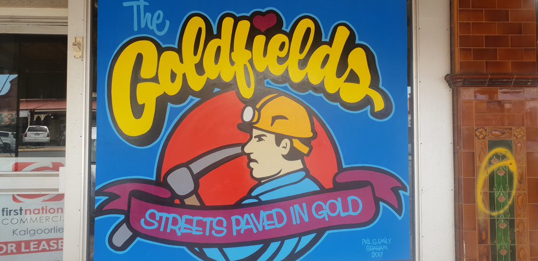 Phil & Emily Braham Streets paved in Gold 2017 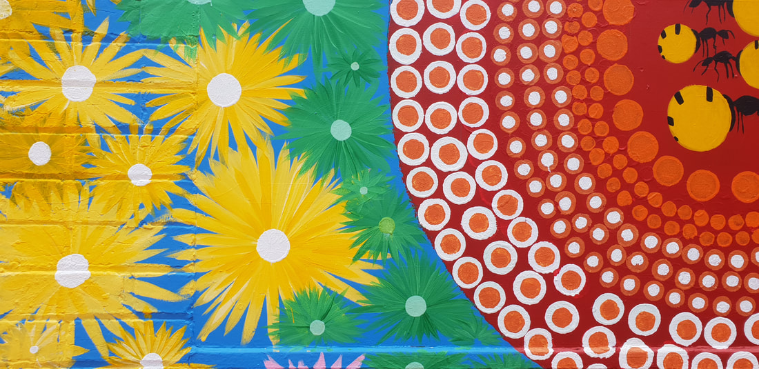 Buodoon Edie Ulrich Going out Bush 2018 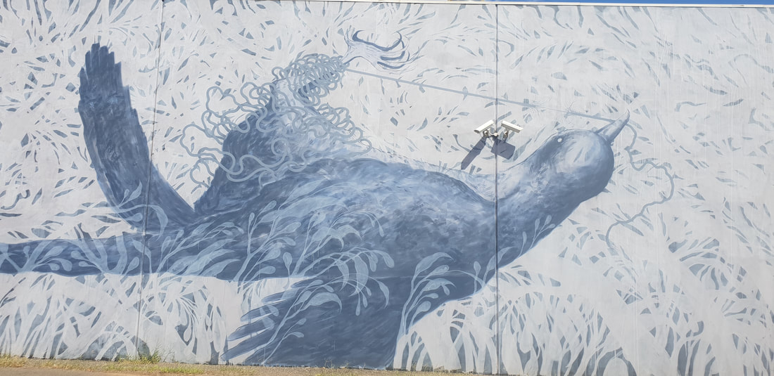 Andrew Frazer Unraveled 2018 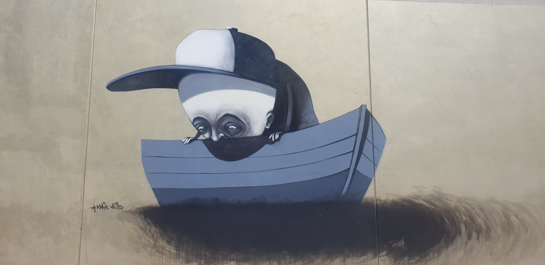 Stormie Mills Drowning Within 2017 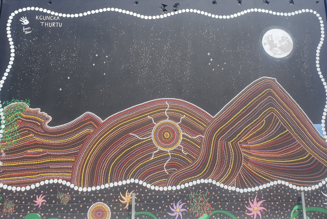 Jason Dimer Kgungka Thurtu (Sister Girl) 2018
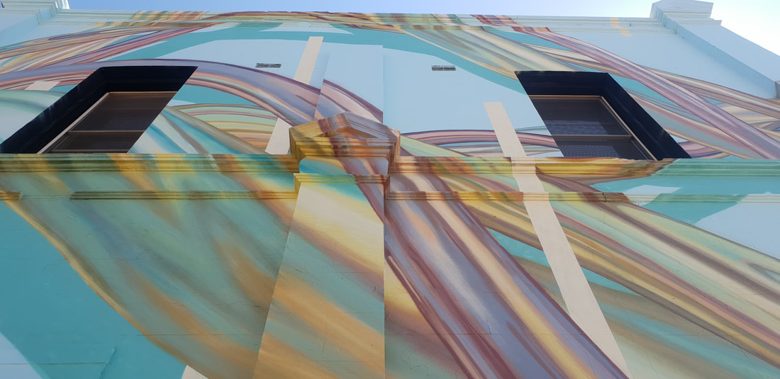
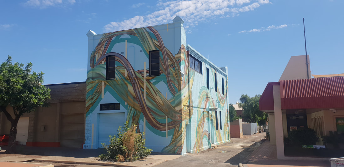
Rosie Woods Untitled 2018 One aspect we enjoyed immensely about Kalgoorlie Boulder was the large-scale public art displayed through out the town and revealed by undertaking a 4.5km self-guided walking trail. Known as the ‘heART walk’ and designed to promote liveability and social cohesion the project incorporating 60 contemporary murals was concluded in 2018 and showcases local and visiting artists.
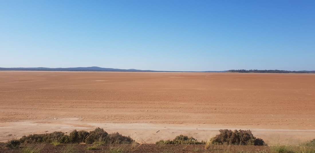
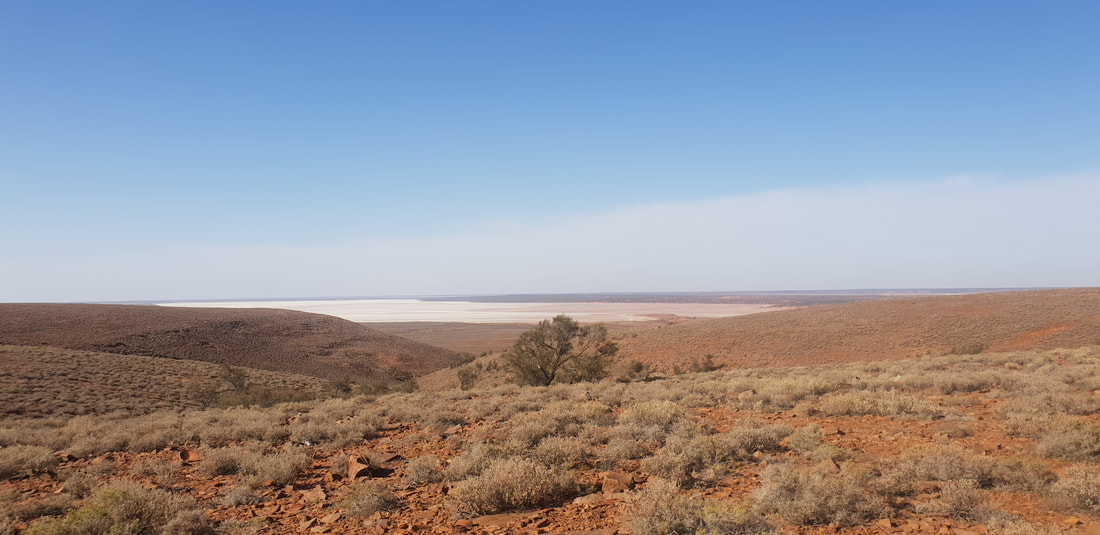
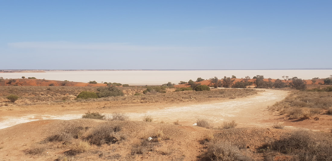
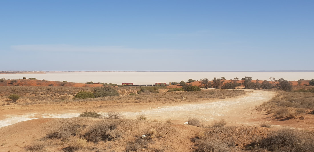
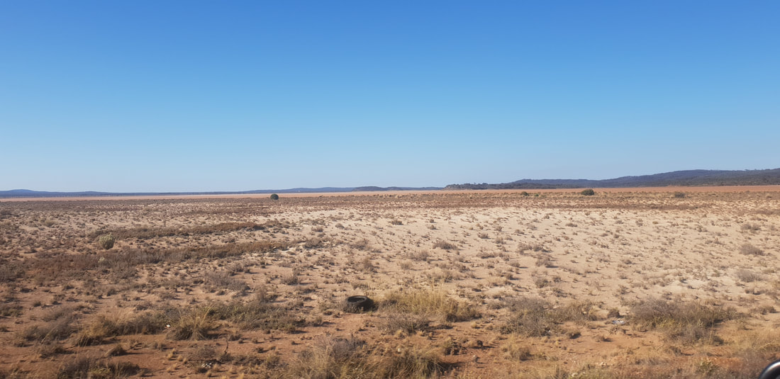
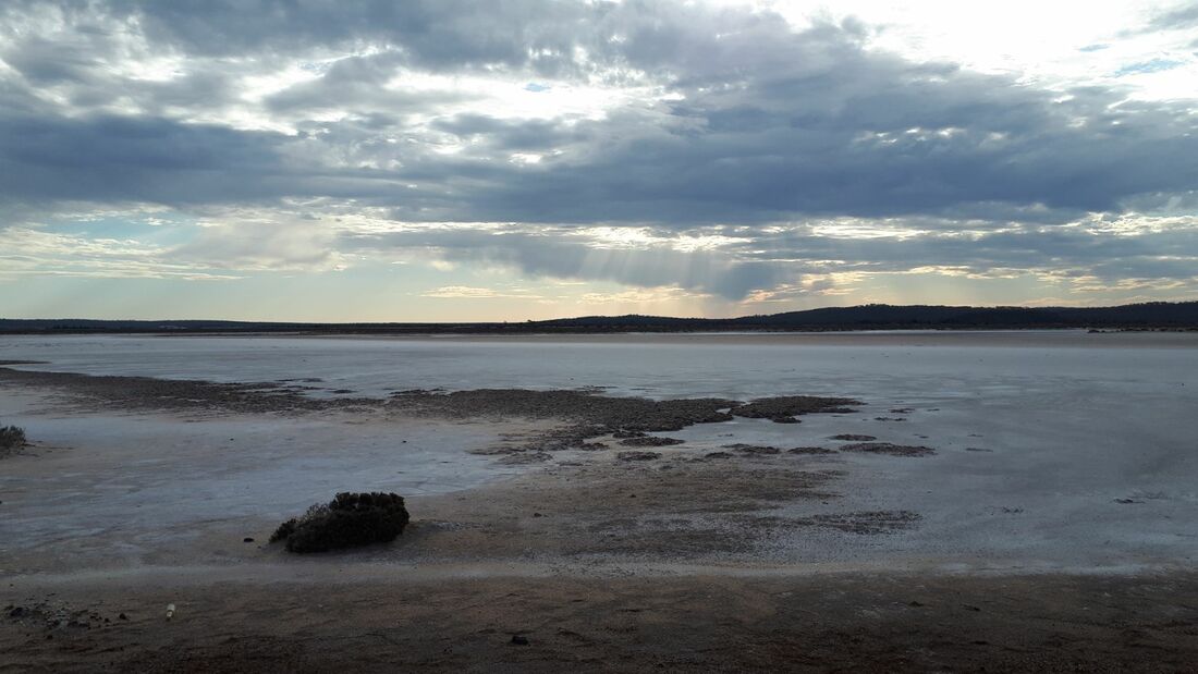
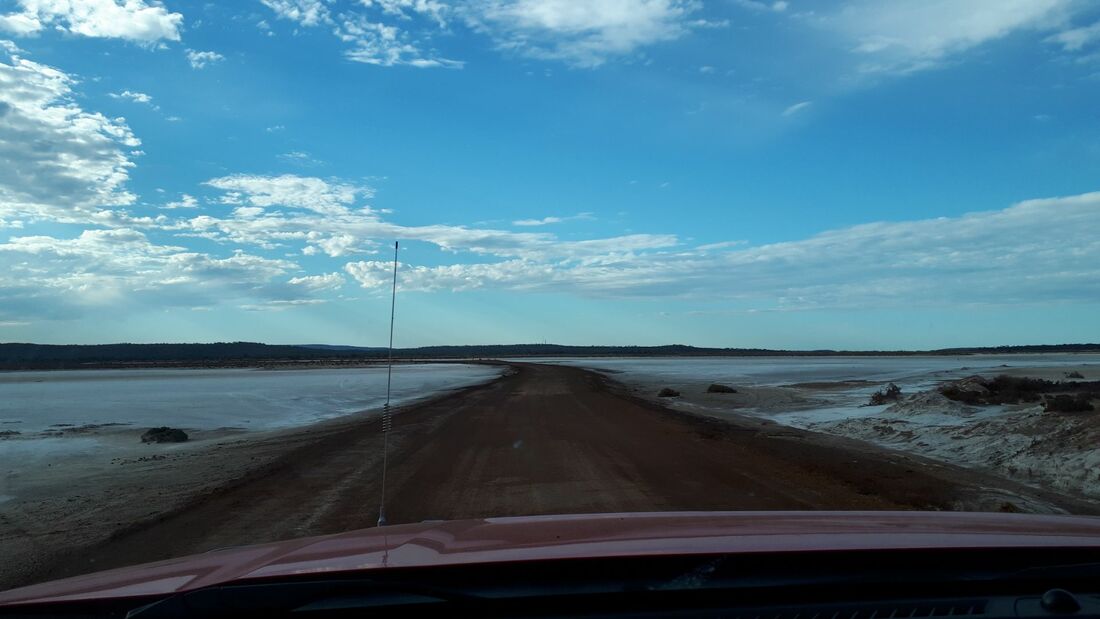
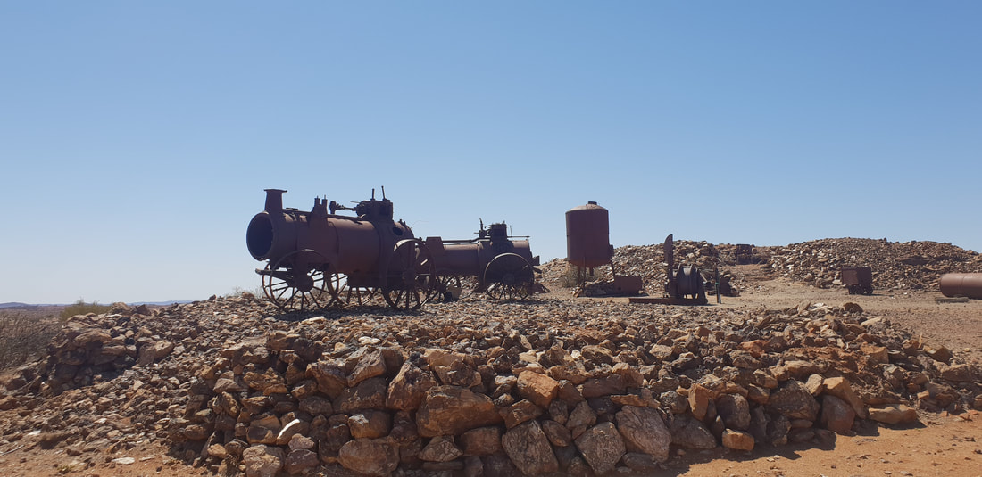
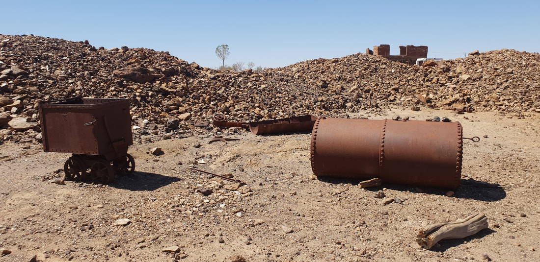
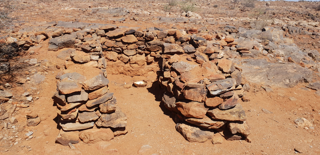
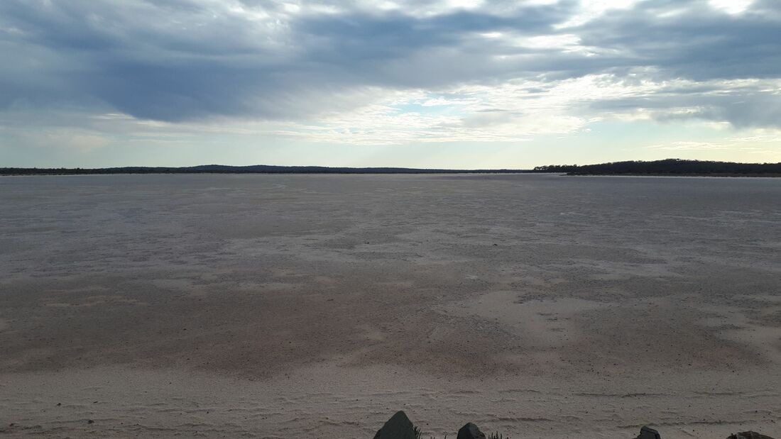 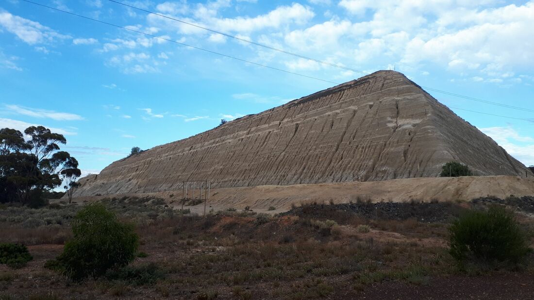 "The mountain of things we throw away are much greater than the things we use." John Steinbeck 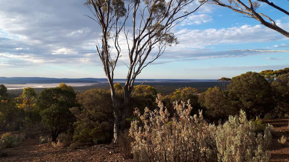 Gold was originally discovered in 1894 by Laurie Sinclair and the deposit was named after his horse, Hardy Norseman. The subsequent township fluctuated in population until 1935 when Western Mining invested heavily in the town's development. The Norseman Gold Mine, owned by Western Mining until 2002 when it was sold to Croesus Mining, which consists of the Central Mine closest to town and the Harlequin Mine, was sold to Central Norseman Gold/Tulla Group for $60 million in 2007 after being in administration for eleven months. In 2014 the Central Mine was placed into a state of Care and Maintenance. The Central Mine, which is currently for sale is now a waste land of discarded mining equipment and the town remains dominated by a massive tailings slump. It's a bit strange driving past the disused mine as you make your way to the town's lookout, with information boards erected in 2001 promoting the economic viability of the town and its prosperous future. After the closure of the Central Mine and the death of a miner at the Harlequin mine in 2014, many of the residents abandoned the town leaving a current population of only about 500 residents. We also ventured to nearby Lake Cowan, an extensive salt-pan that was impressive to see, before having a dinner of red emperor at the local Norseman pub.
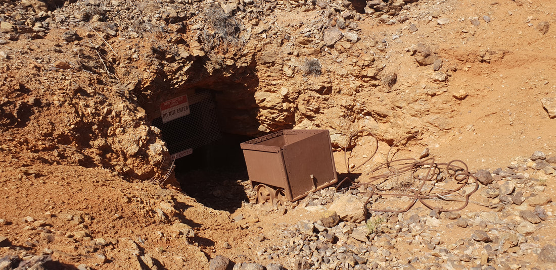
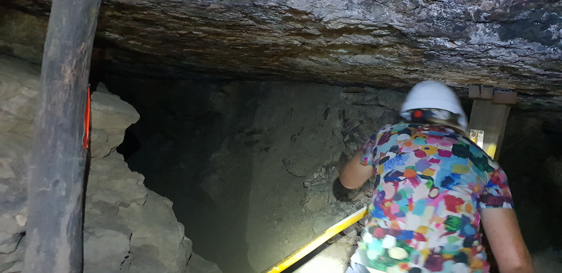
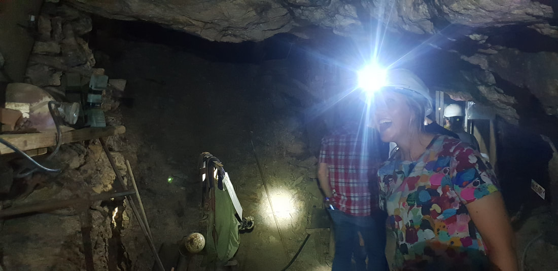
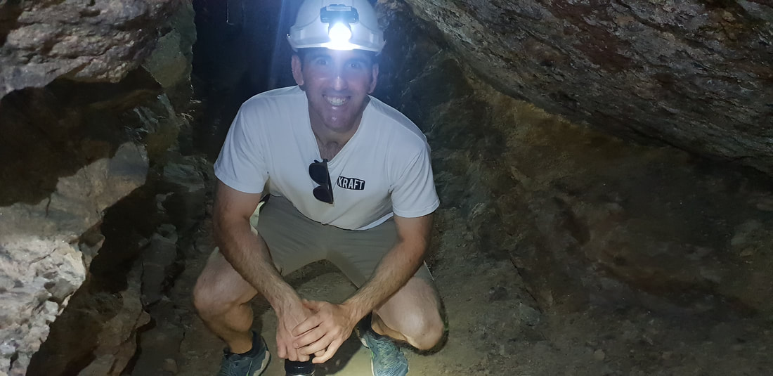
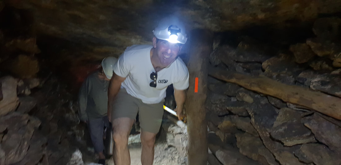
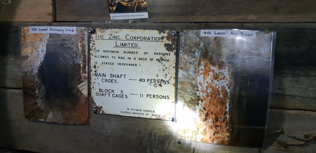
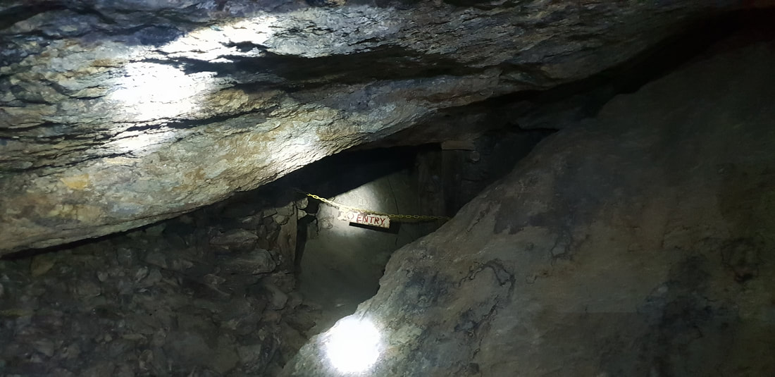
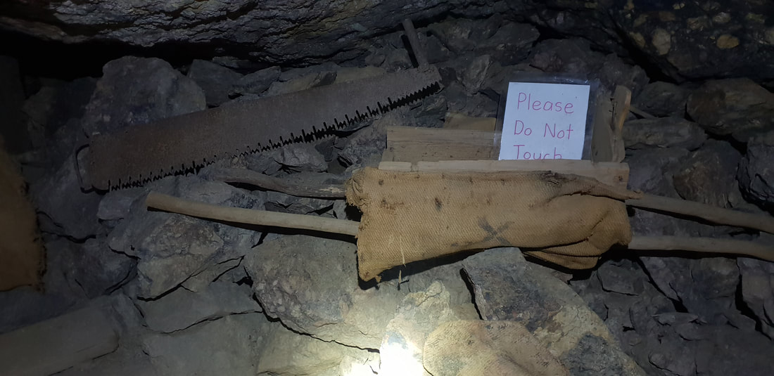
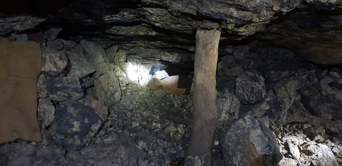
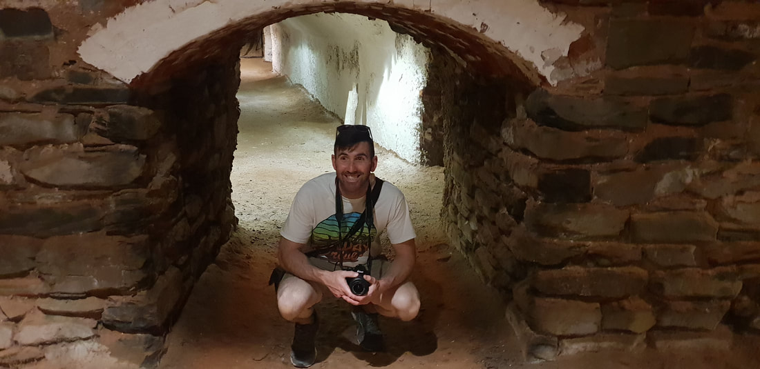
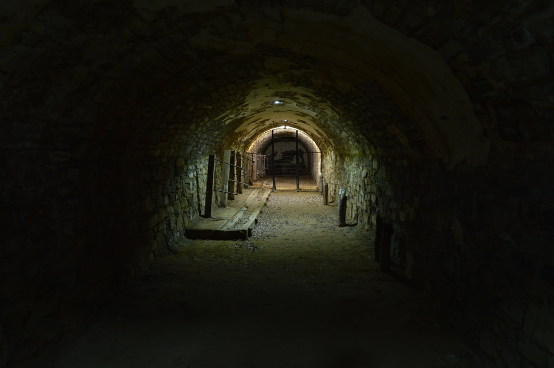
This quirky, yet insightful tourist attraction was most certainly the highlight of our Broken Hill stint. Despite being afraid of the dark and of confined spaces I had a 'blast' exploring the underground sections of this old silver mine and was enthralled listening to stories about boys as young as eight working the mine, that was predominately toiled by Cornish and Walsh miners.
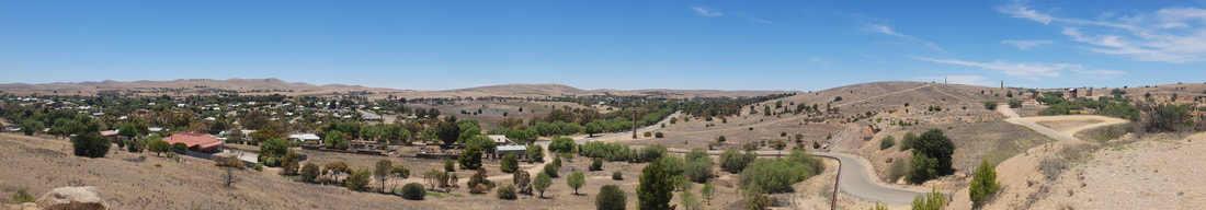
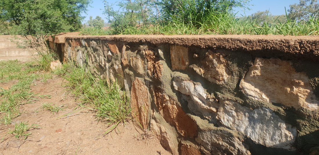
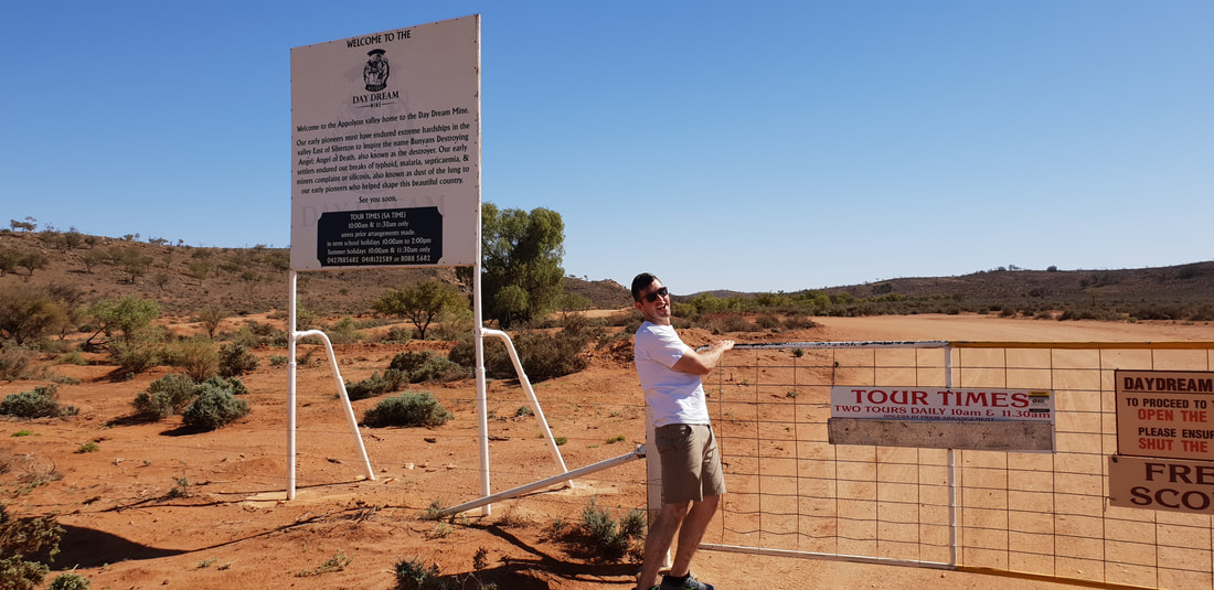
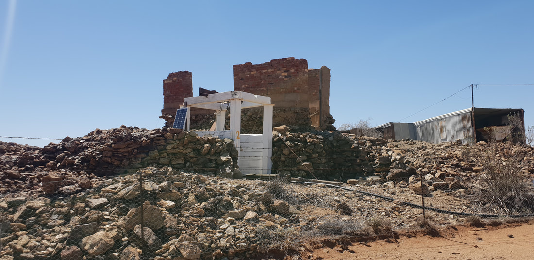
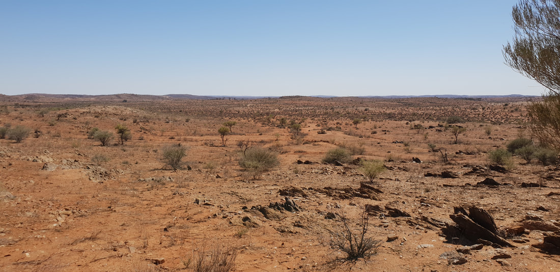
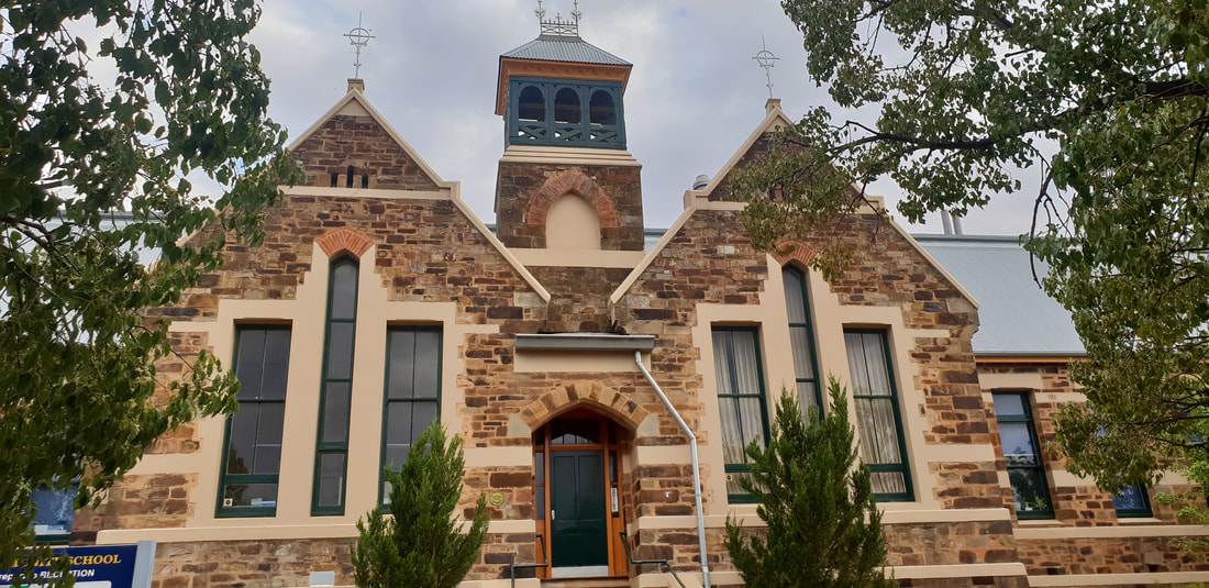
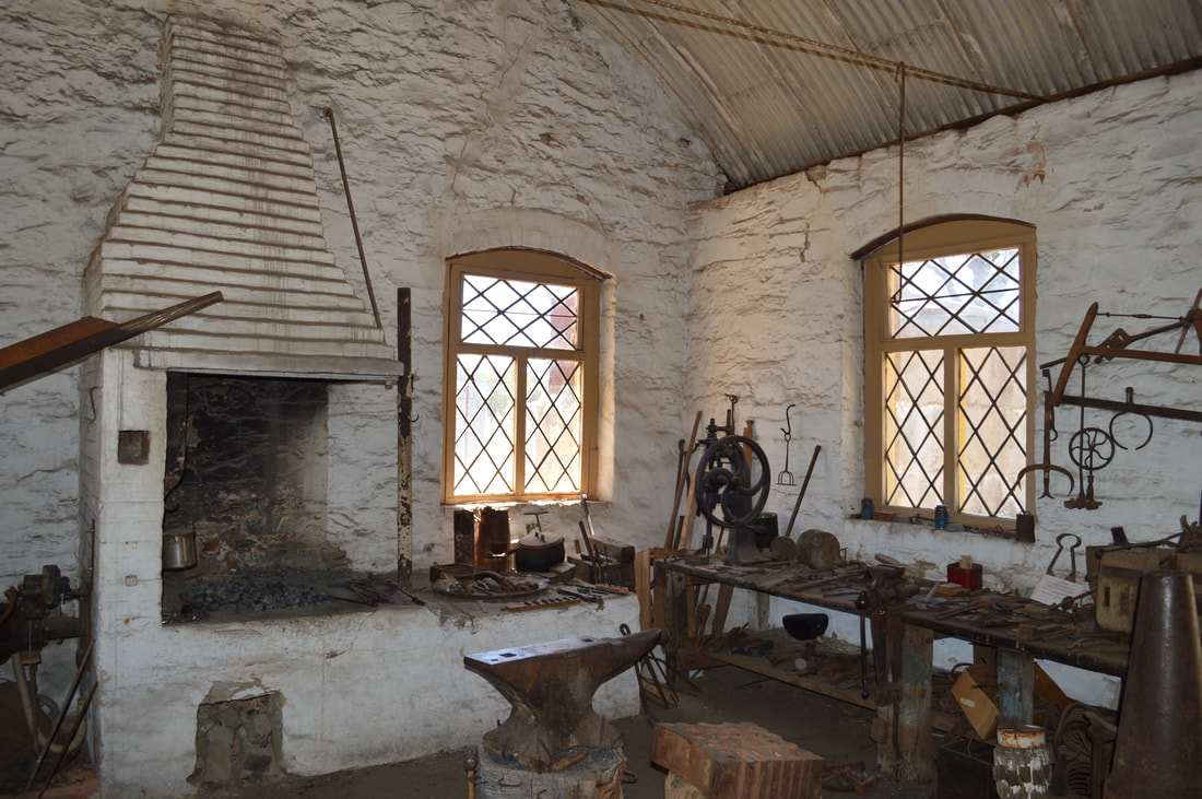
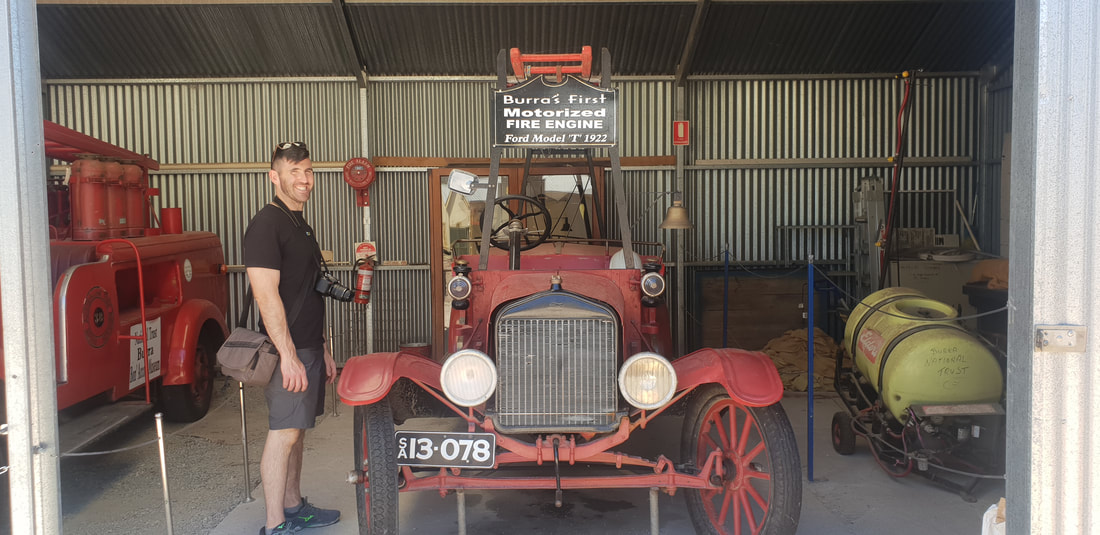
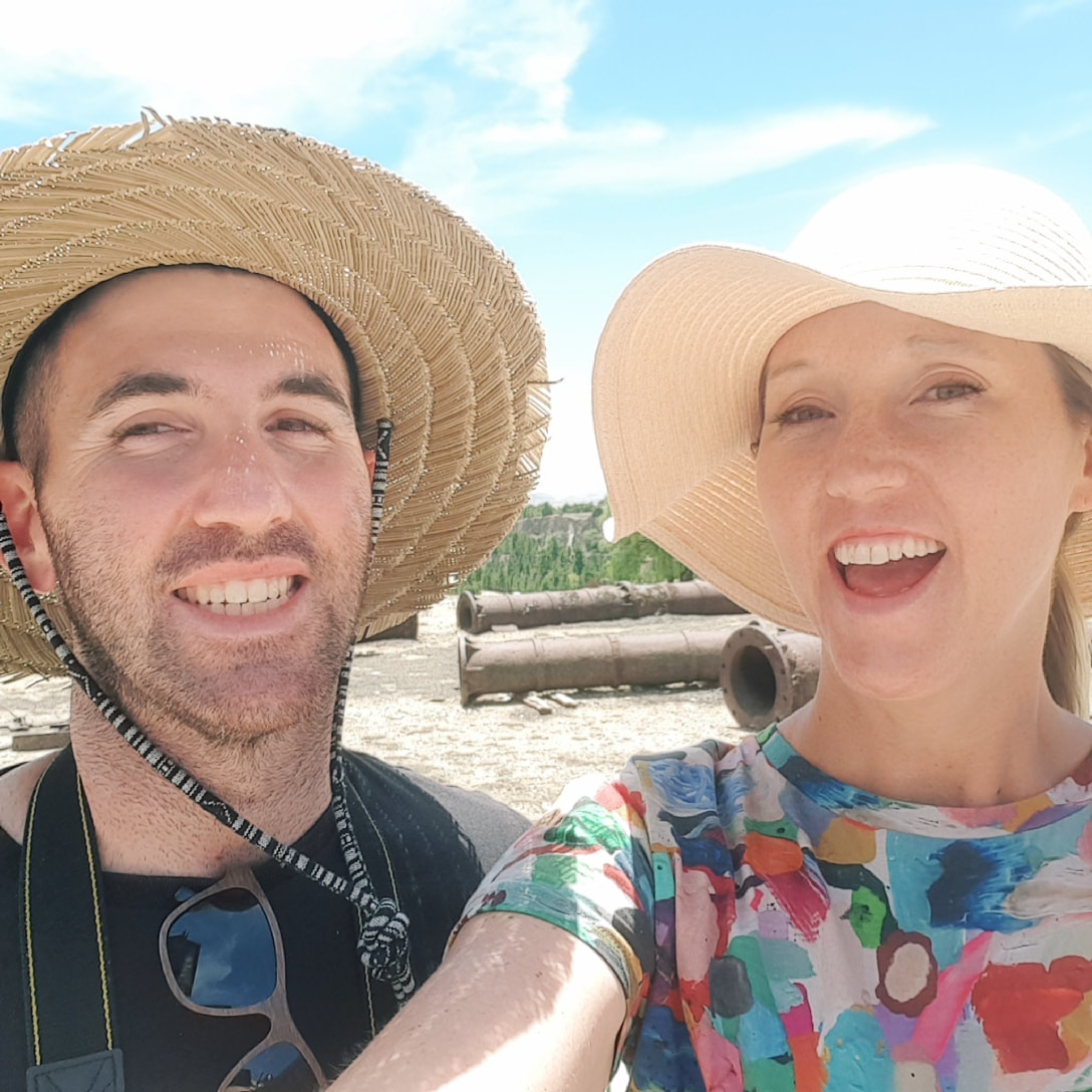
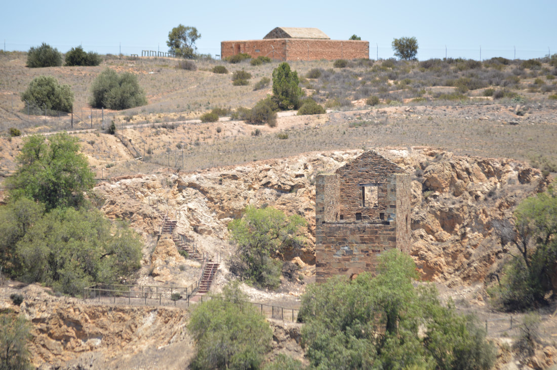
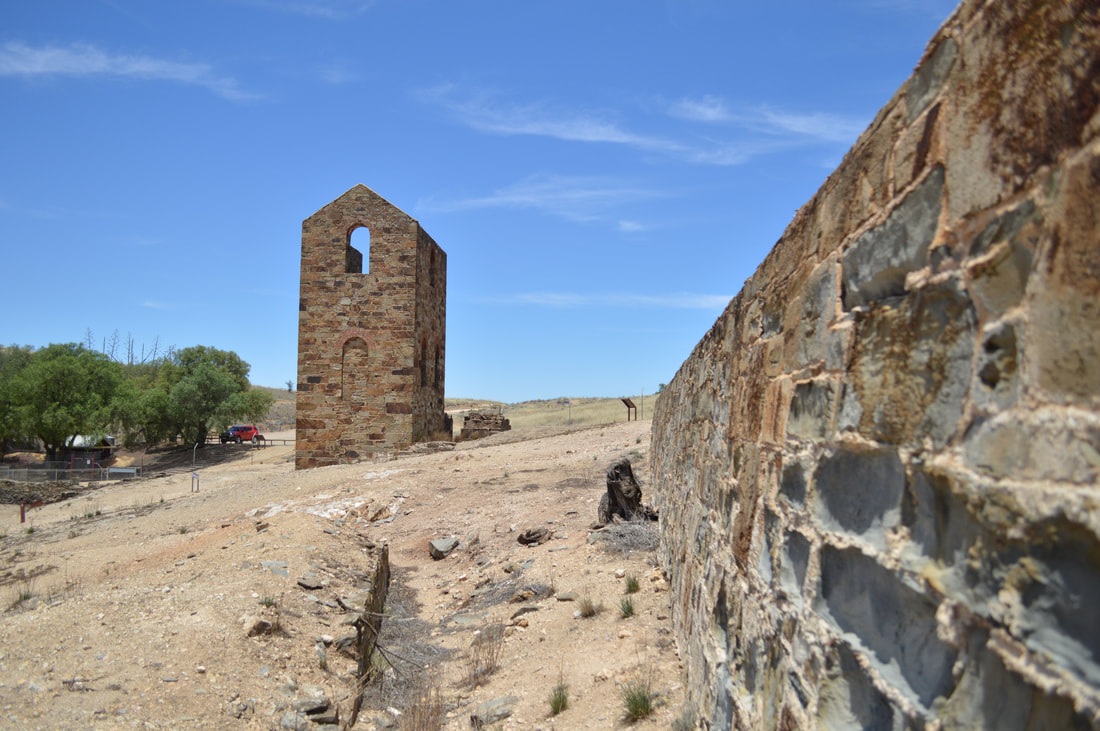
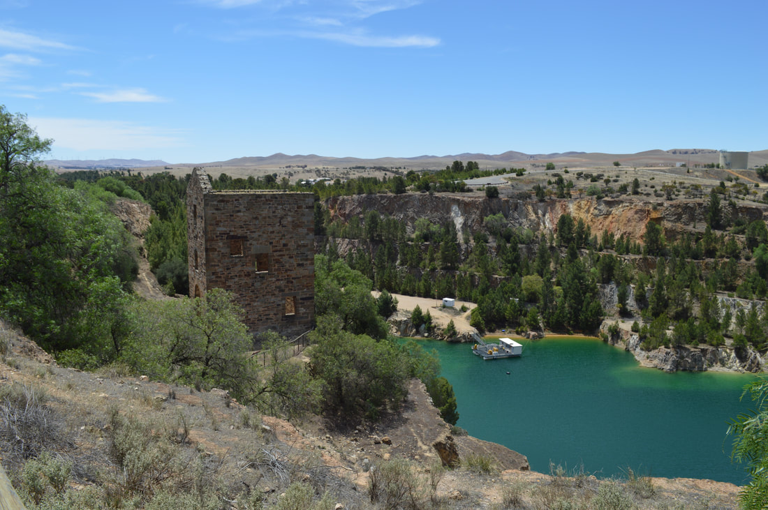
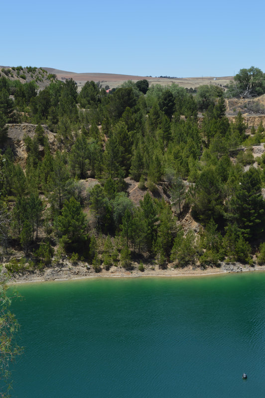
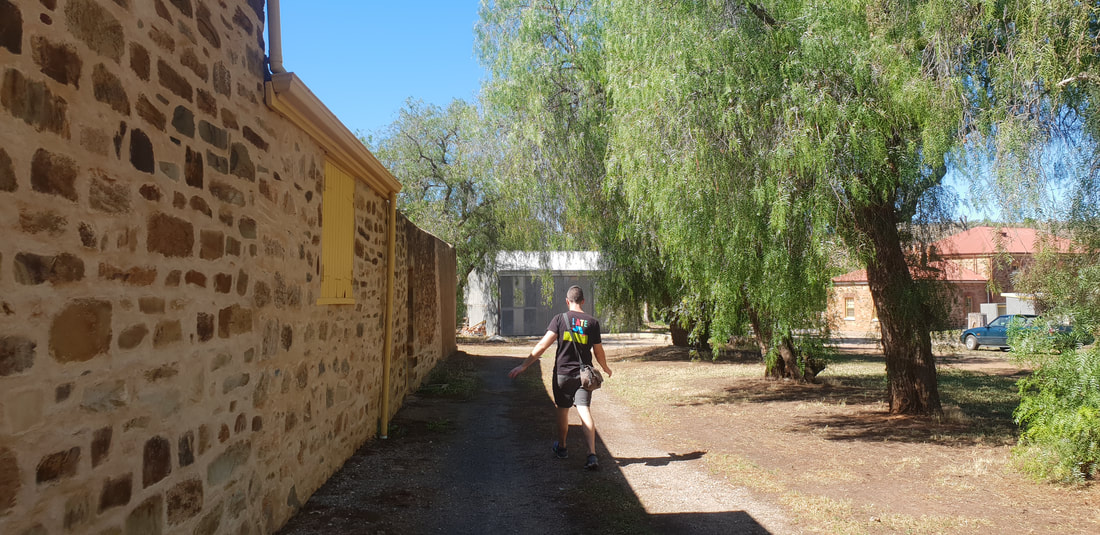
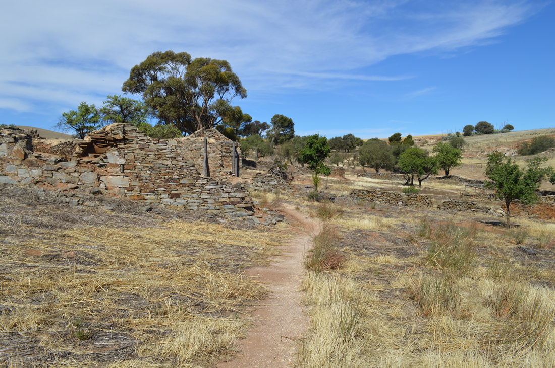
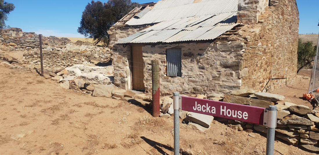
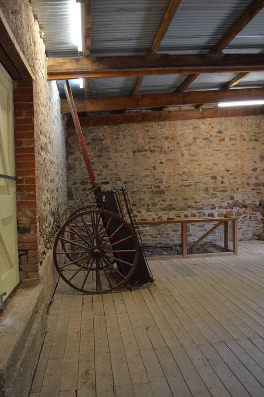
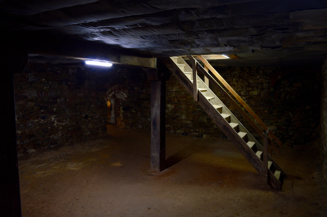
In the 1850's the semi-arid landscape of the Appollyon Valley and of what was to become the townships of Silverton and Broken Hill had prospectors searching for gold. Yet attempts proved unsuccessful and it wasn't until the 1880's when Cornish and Walsh miners from the nearby copper mines of Burra descended upon the land, this time in search of silver. It is said the Daydream Mine, named so as prospector, Joe Meech in 1881 awoke from a day slumber to find himself upon a silvery outcrop, declaring the lease his. However, due to a dispute with the lease it was not until 1884 that the silvery outcrop began to be mined. During the 1880's the region was awash with prospectors in search of the now lucrative silver. Broken Hill was officially discovered by Charles Rasp in 1883, and the Broken Hill Proprietary Company Limited (BHP) incorporated in 1885. The Daydream Mine remains in much of the original condition, showcasing the strength of the Mulga tree that continues to prop up the tunnels and the endurance of the short in stature, but tall in courage miners that worked 12 hours per day, 6 days per week in candle light to extract the ore. The mine ceased operations in the early 1900's and was reopened by an old BHP miner in the 1960's who toiled away at the lode, until his death in the 1980's. After his death the family opened the mine to the public as a tourist venture. Around TownThe Burra Burra Mine was located close to the lease boundary and subsequently many townships proceeded to spring-up as the area's population swelled to 5.000. During the life of the Mine, the townships of Kooringa, Redruth, Aberdeen, New Aberdeen, Llwchwr and Hampton flanked the special survey boundary. Today these townships are collectively known as Burra with an approximate population of 1,000. Burra Burra is Hindustani for Great Great and history states Afghan cameleers named the creek, Burra Burra Creek during previous visits to the region.
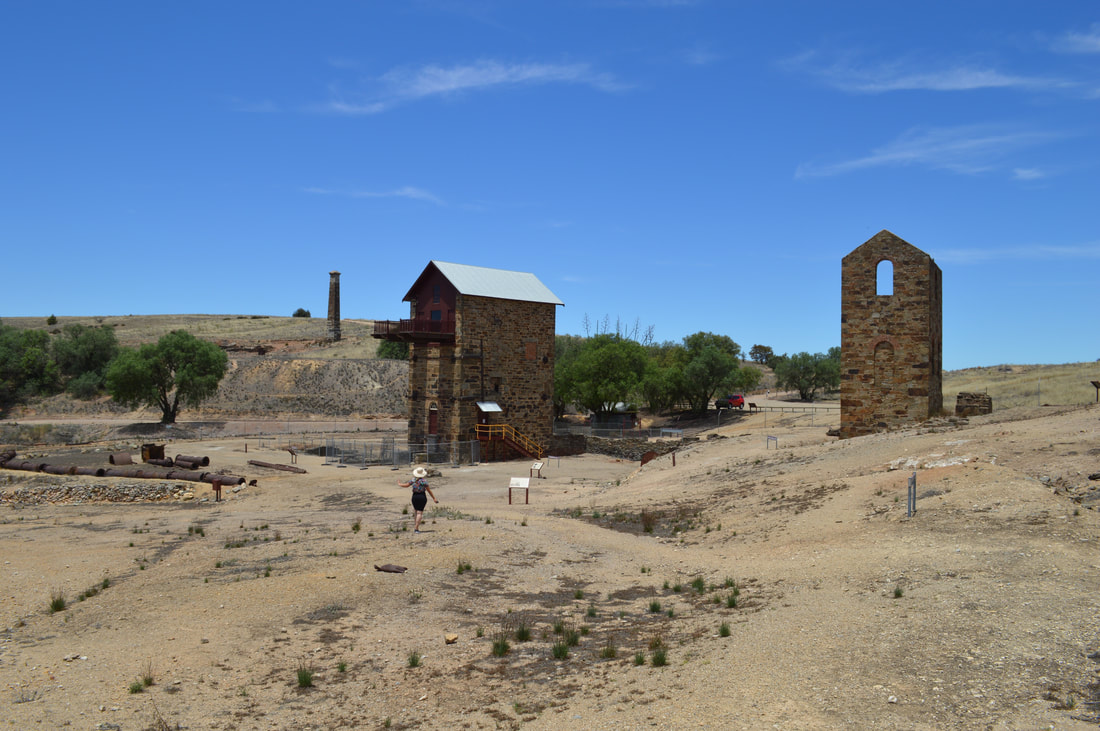
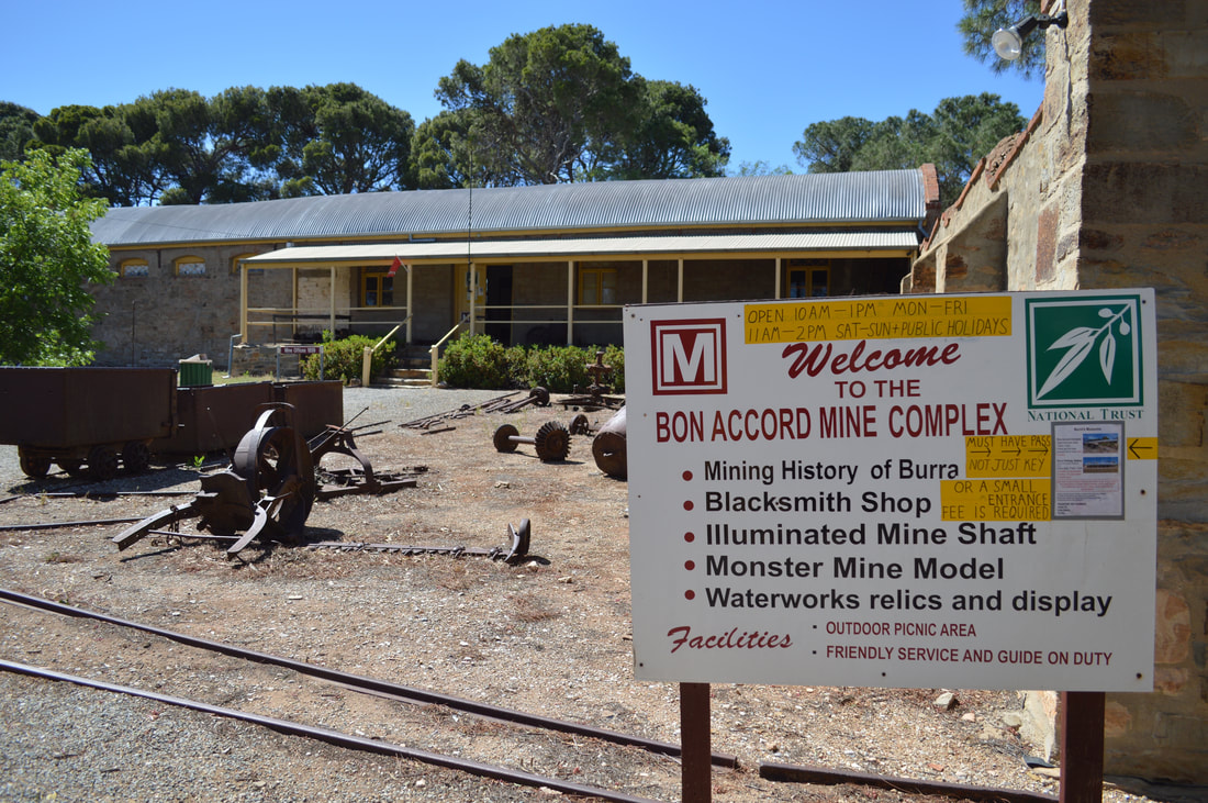
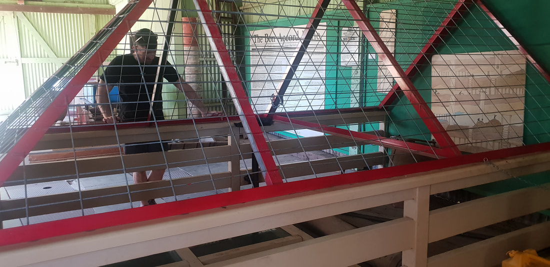
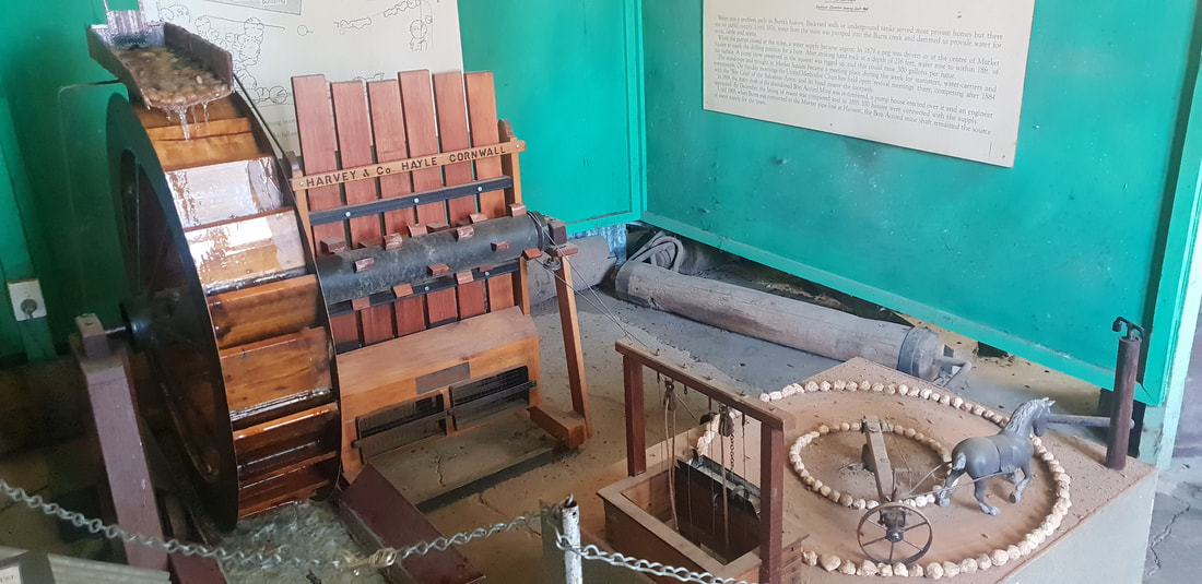
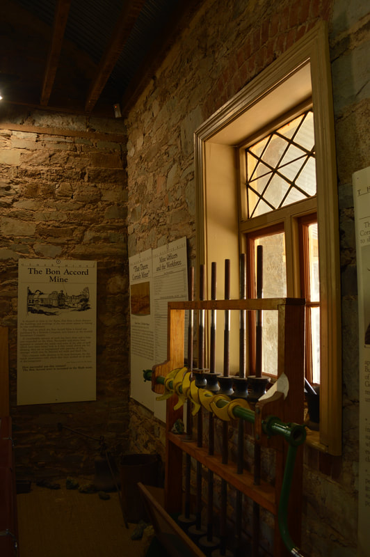
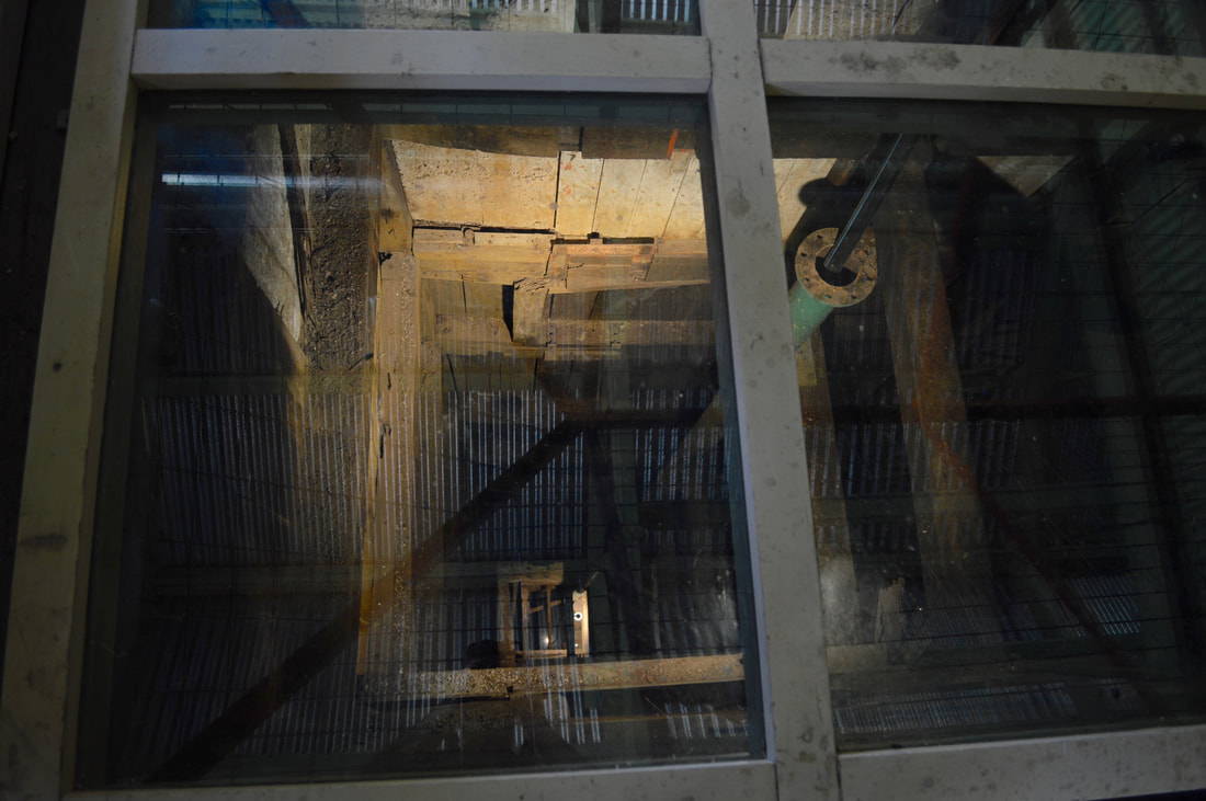
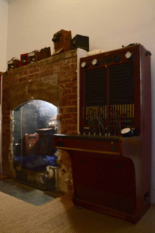
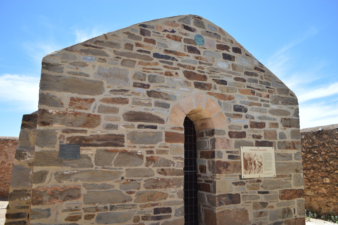
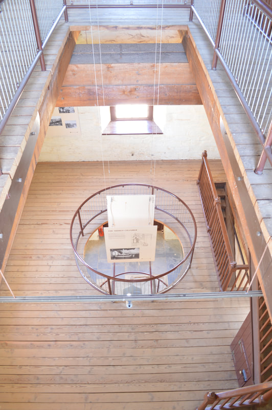
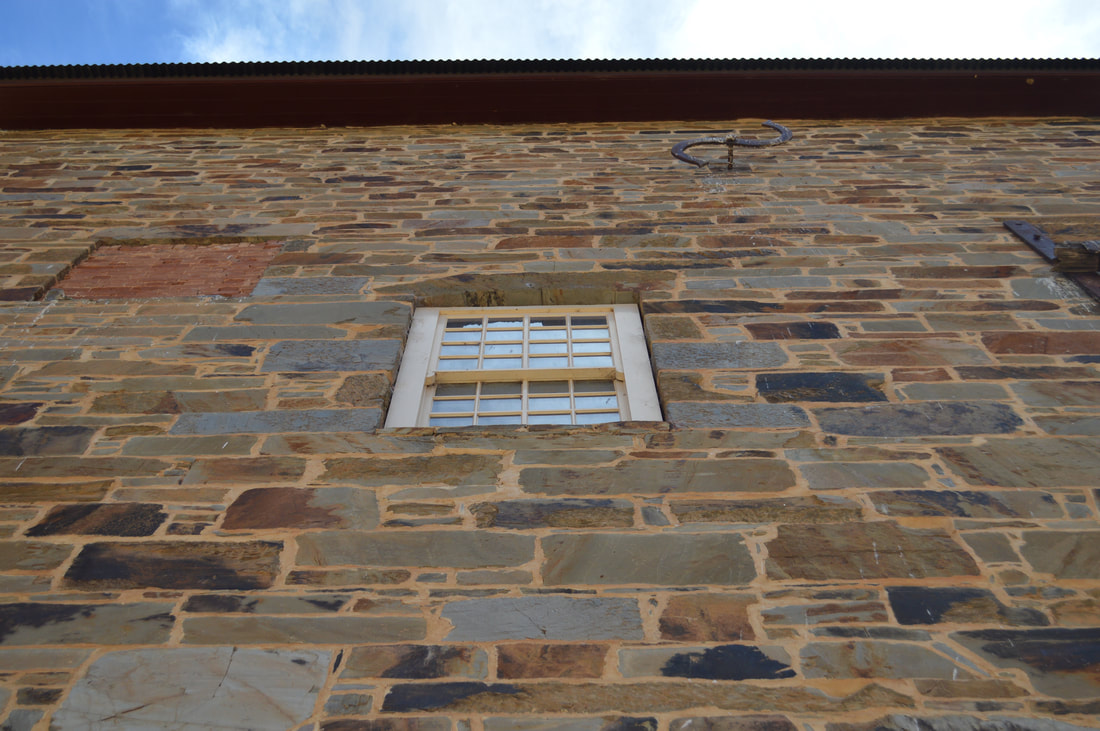
Bon Accord Museum & Mine - 1859Situation on land purchased by a group of Scots in 1846, the Bon Accord mine is located in the township of Aberdeen outside of the special survey boundary. The mine wasn't economically viable, but the shaft can still be viewed in the museum and continued to be of service to the people of Burra up until 1966 as a pumping shaft for the town's water supply.

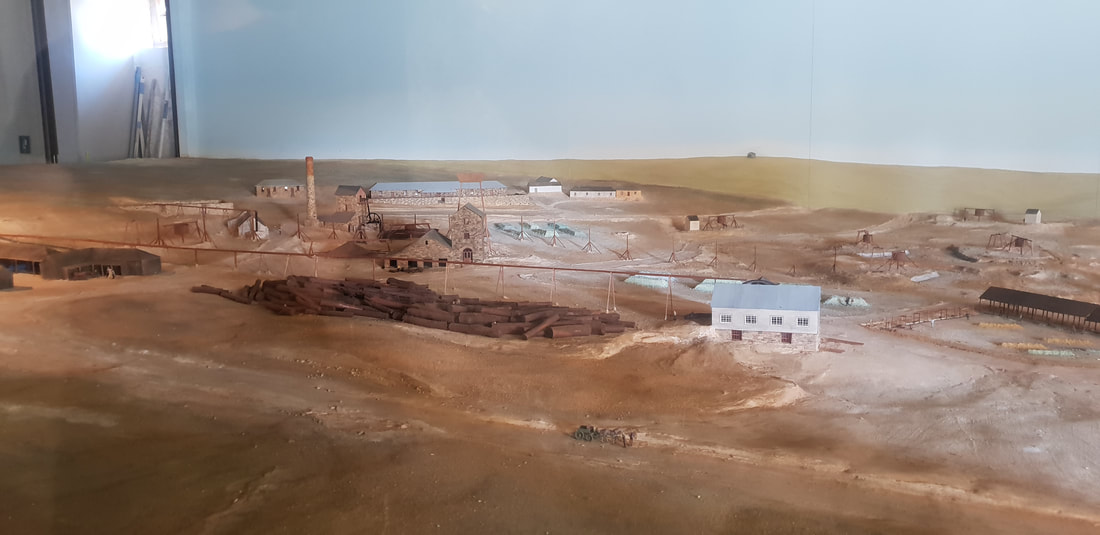
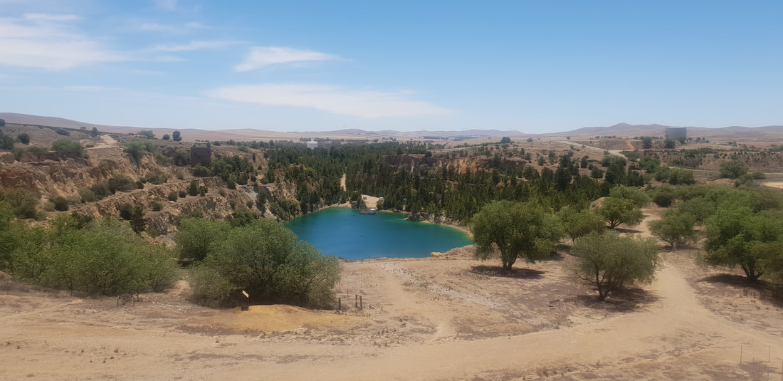
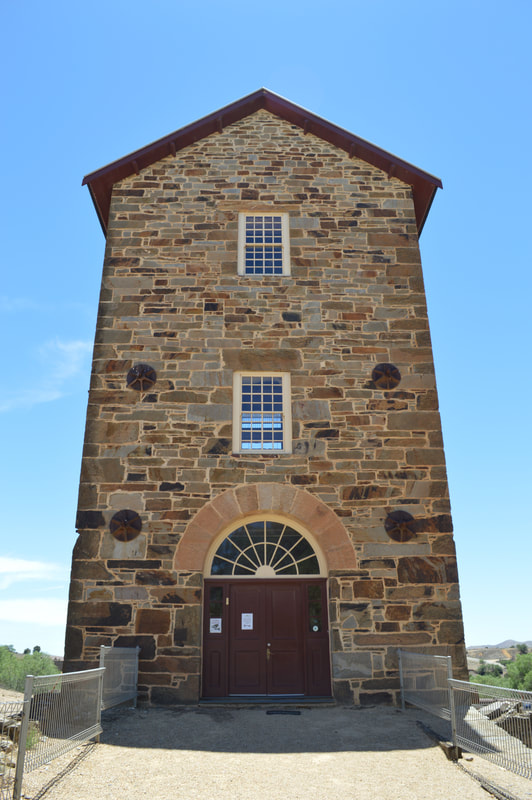
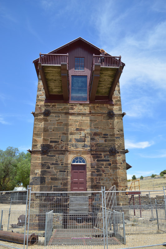
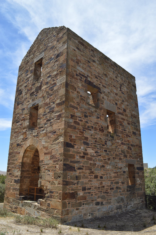
Burra Burra Mine Site - 1845In 1845 two copper deposits were discovered near Burra Burra Creek. To acquire the land and the rights to a mineral deposit a special survey of 20,000 acres needed to be purchased at a cost of £20,000. This was an expensive undertaking therefore two groups nicknamed the Nobs and Snobs decided to go halves, splitting the special survey in half, each with it's own deposit. The Nobs, a group of pastoralists took the Southern end of the survey naming their mine the Princess Royal Mining Company (PRMC) or Princess Royal Mine, and the Snobs, Adelaide merchants and shopkeepers took on the Northern end, calling their mine the South Australian Mining Association (SAMA) or Burra Burra Mine.
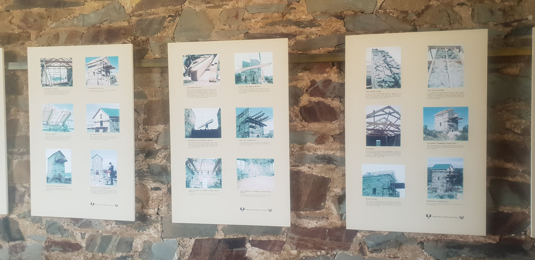
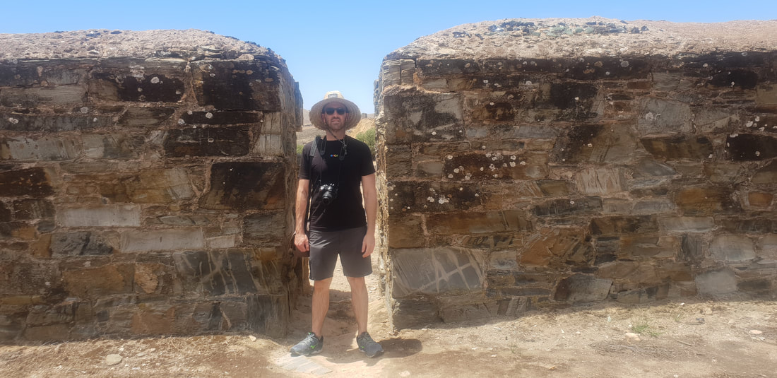
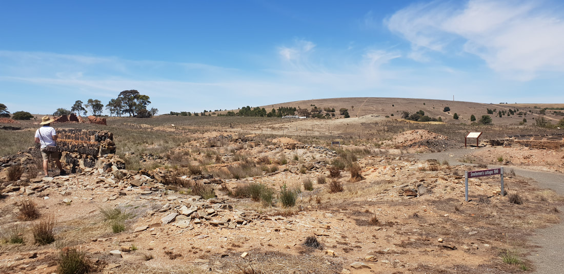
The Princess Royal Mine in the south, owned by the Nobs closed soon after in 1851. However the Burra Burra Mine owned by the Snobs prospered, becoming the largest metalliferous mine in Australia, producing by the 1860's about 5% of the world's copper. The mine later using the revolutionary open-cut method, before closing in 1877. The Burra Burra mine was again reworked from 1971 to 1981, but is now an important tourist attraction in Australia's mining heritage. This is due to being the first metalliferous mine in Australia, and for playing a major role in the economic development and viability of South Australia. At the time, when the mine was first developed, no one in Australia had the skills or knowledge to undertake such a project, therefore Cornish and Wales miners descended on the area to provide the much needed support. The ore was transported by bullock wagon to Port Adelaide an approximate journey of about 150 kilometres, taking almost two weeks to complete, before being loaded and shipped to Wales for smelting and refining. Smelters were built four years later to save on the cost of transportation. 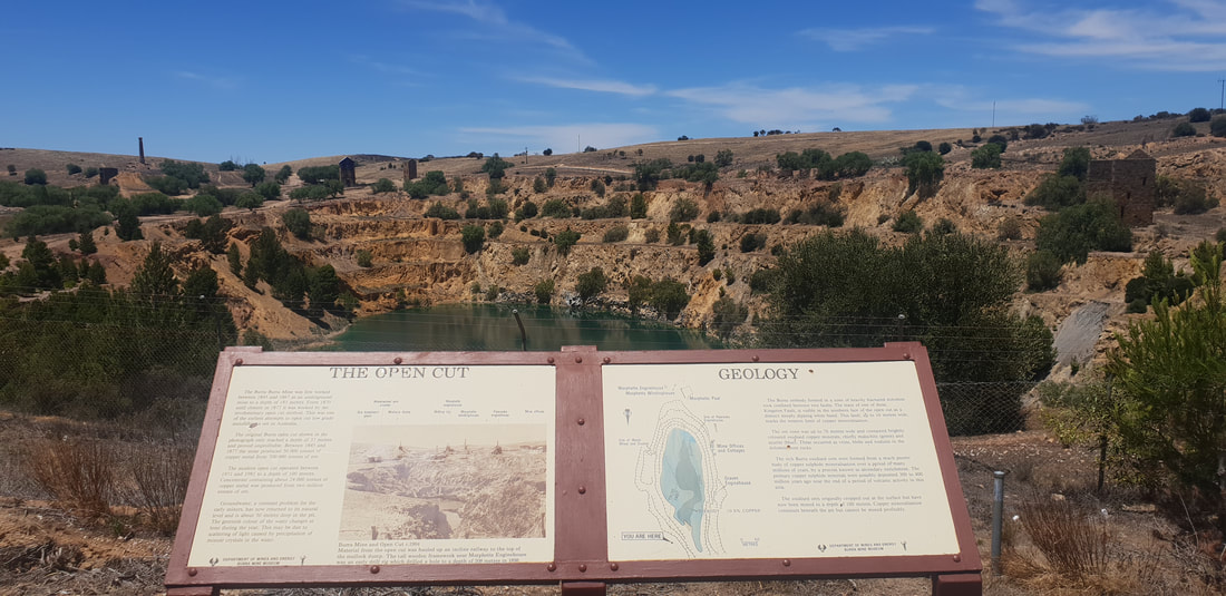
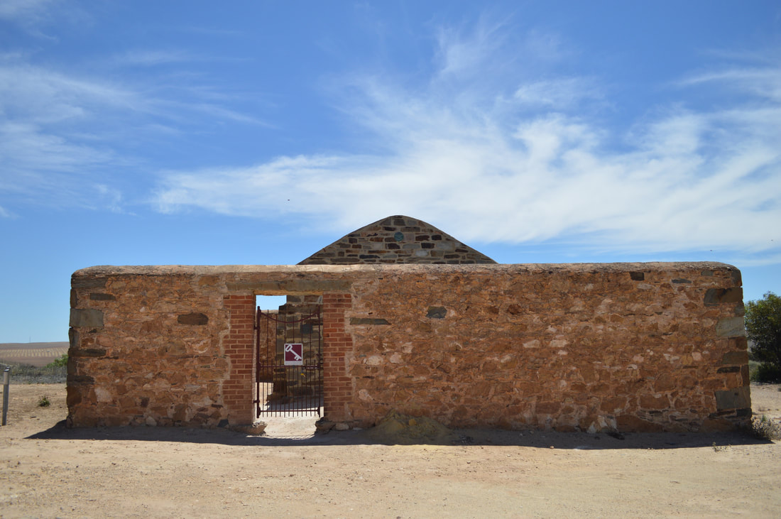
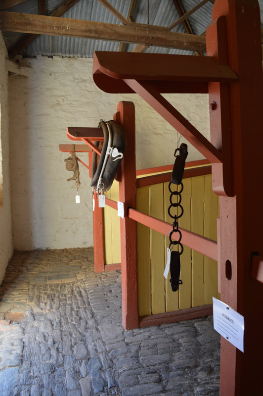
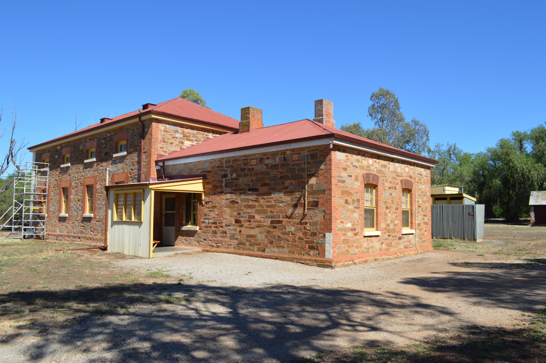
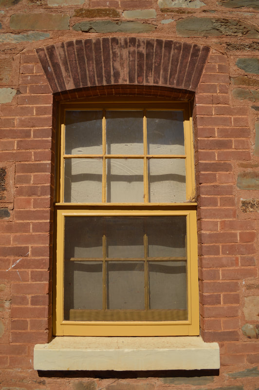
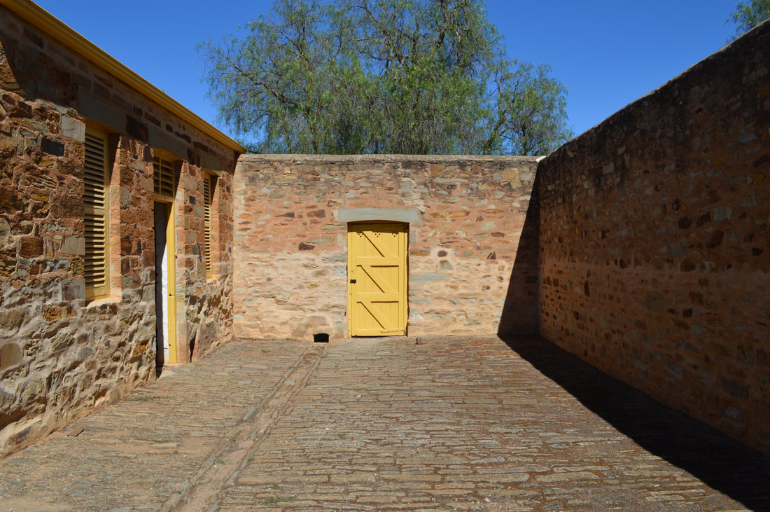
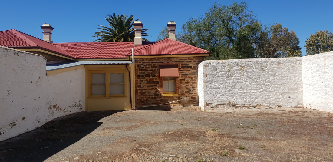
Police Lockup, Stables and Courthouse - 1847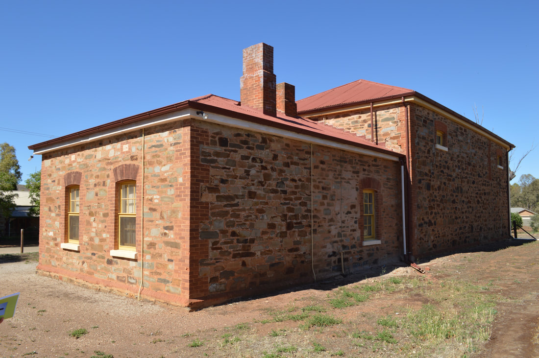
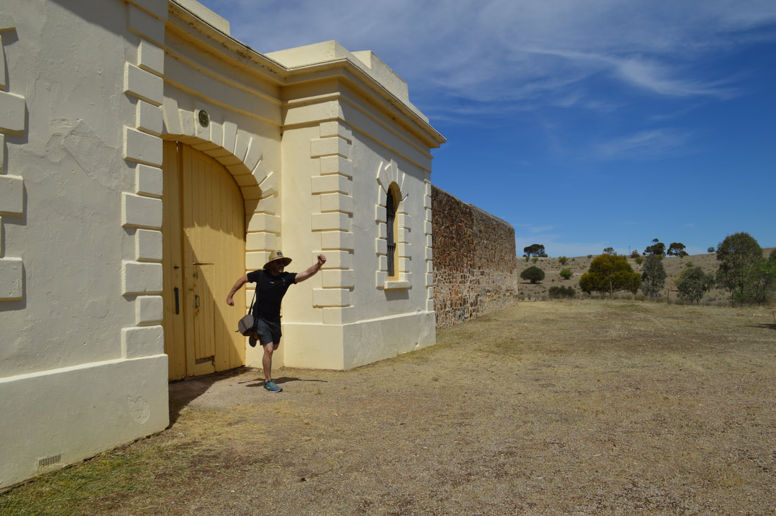
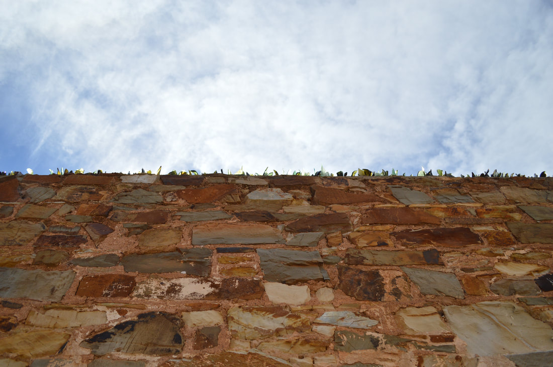
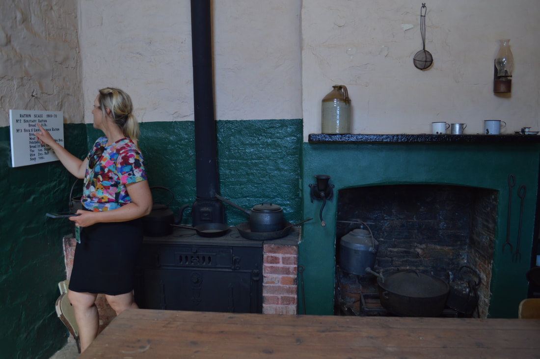
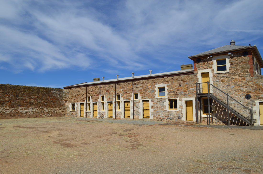
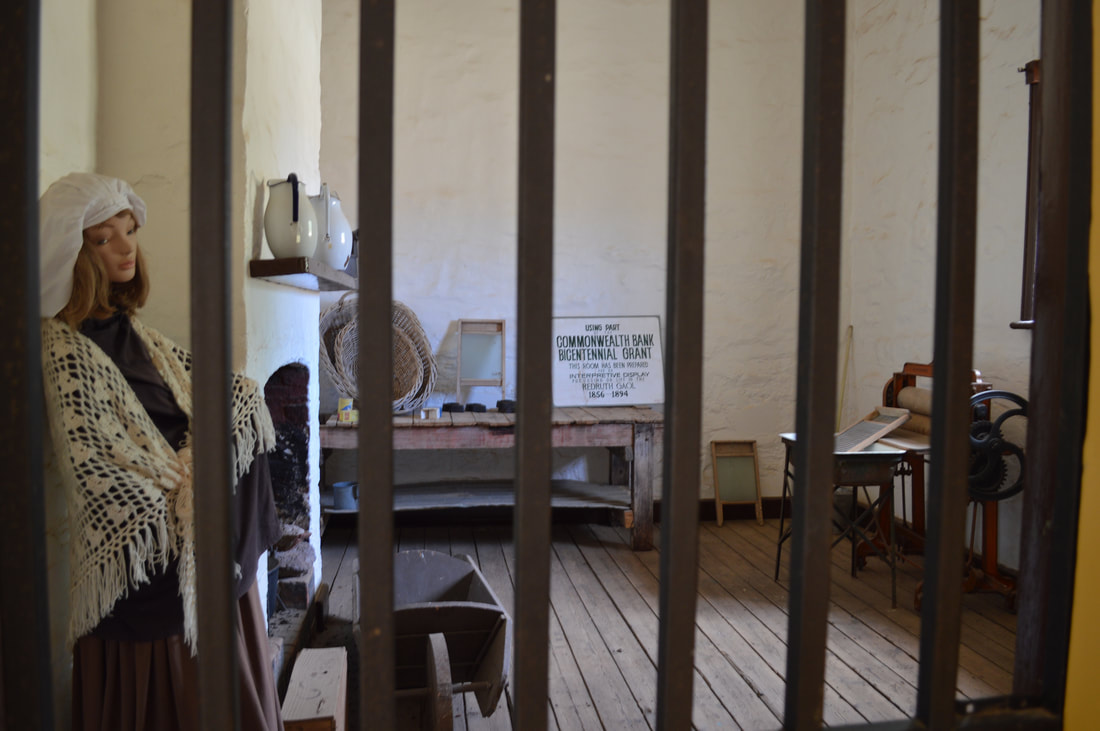
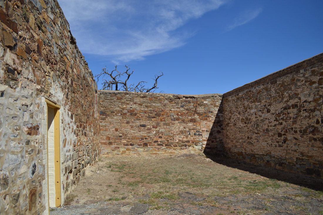
Redruth Gaol - 1856
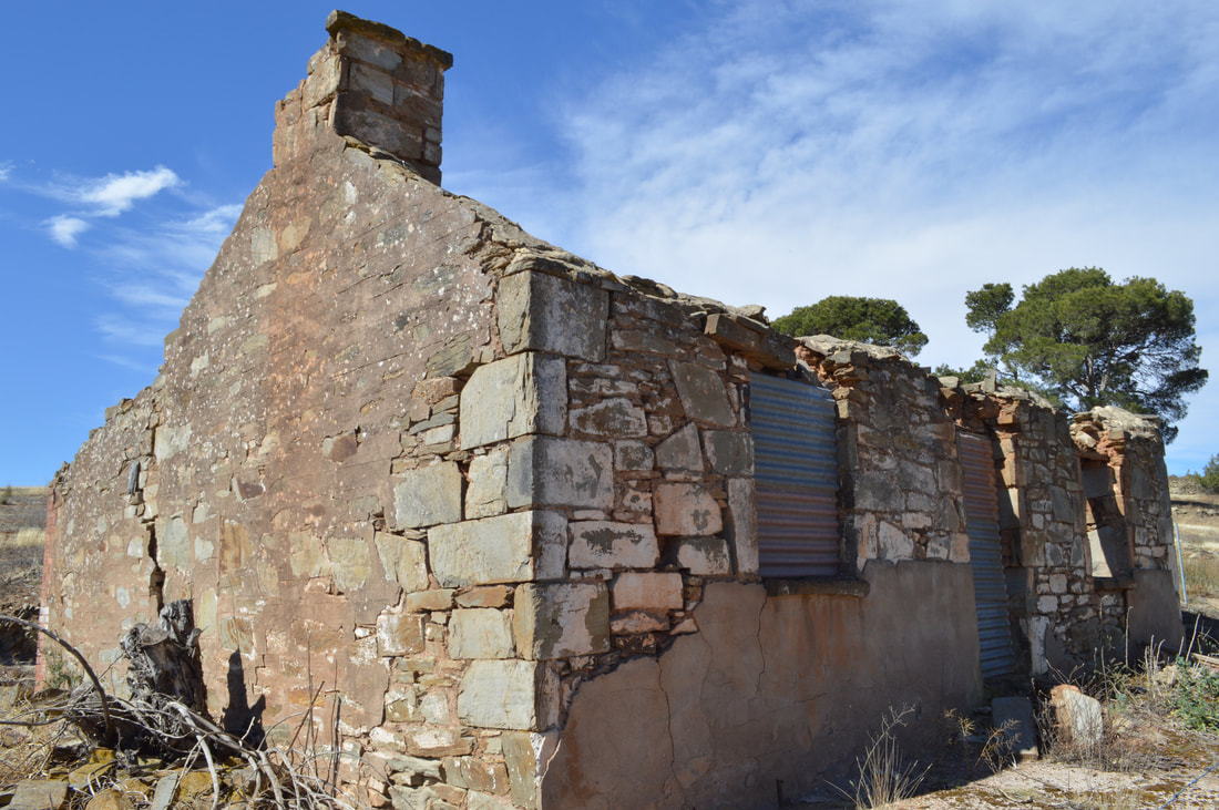
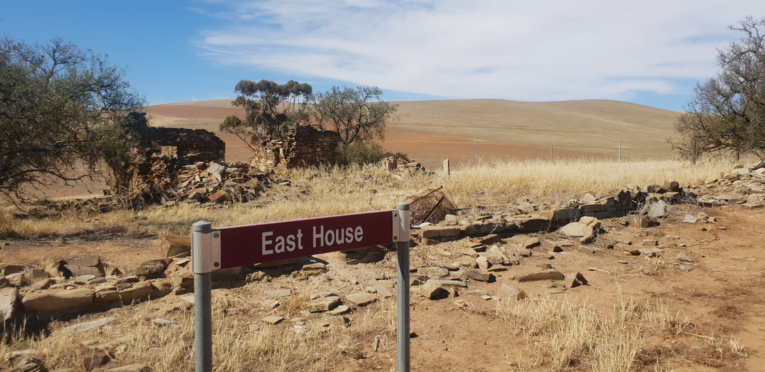
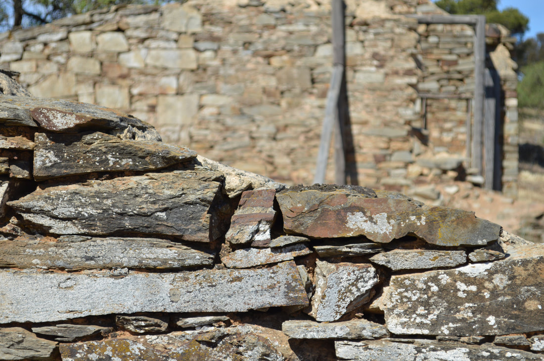
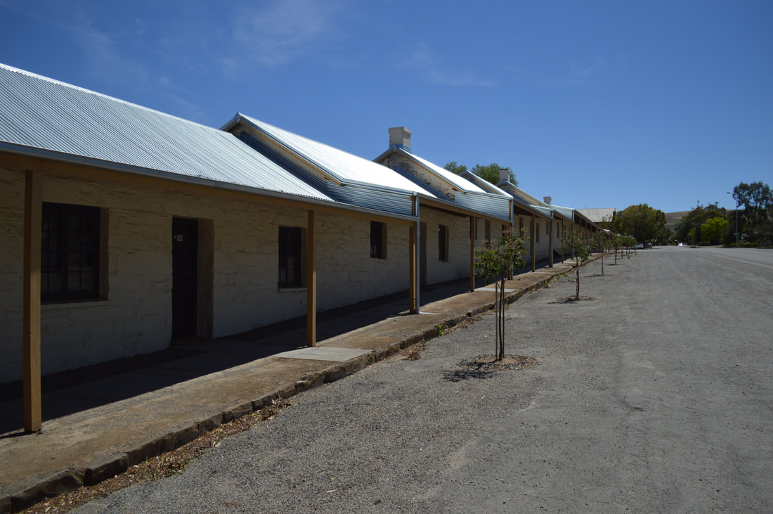
Hampton Village - 1857 - final resident left in the 1960's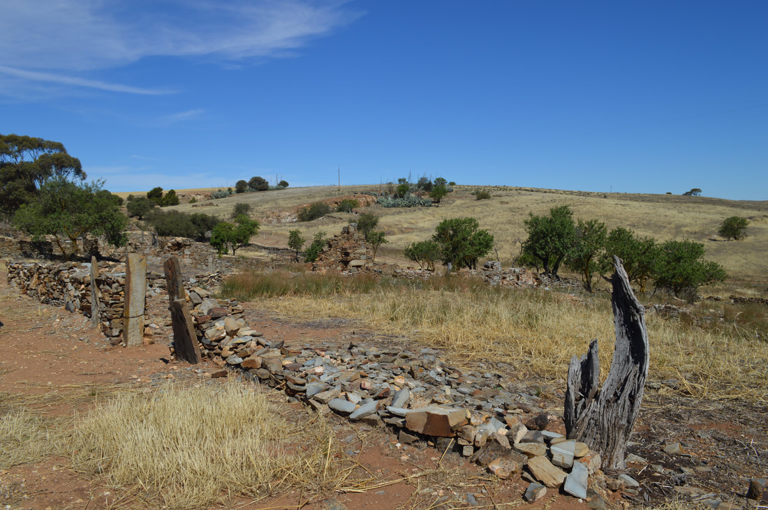
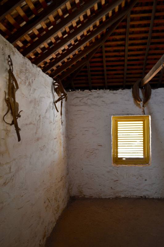
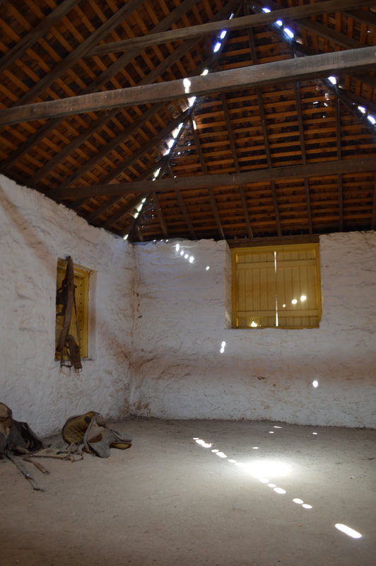
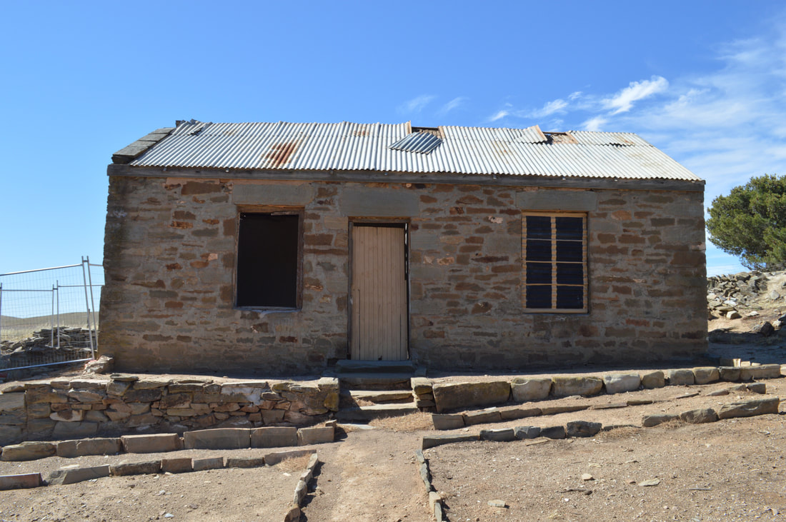
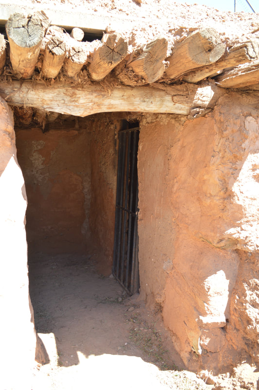
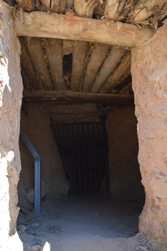
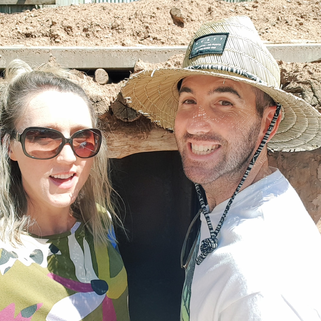
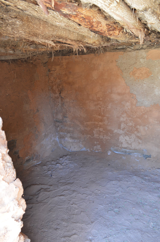
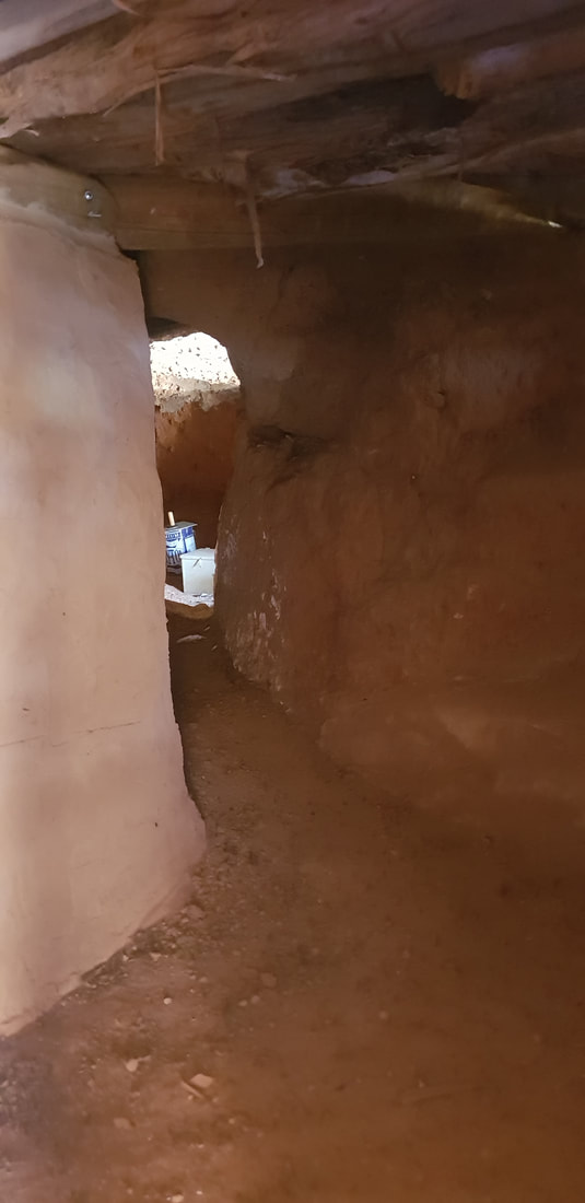
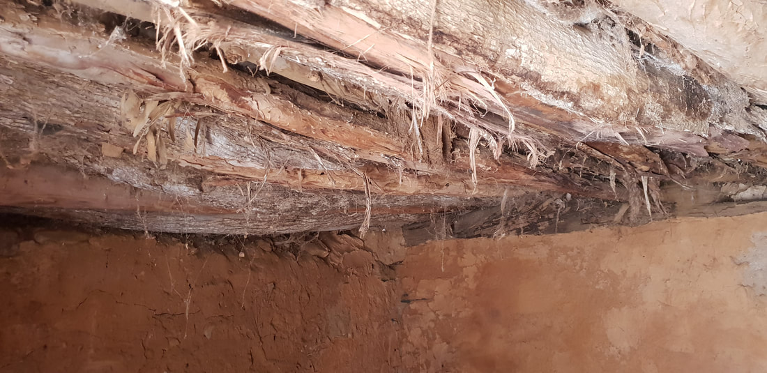
Miner's Dugouts - 1850 - about 600 were along the creek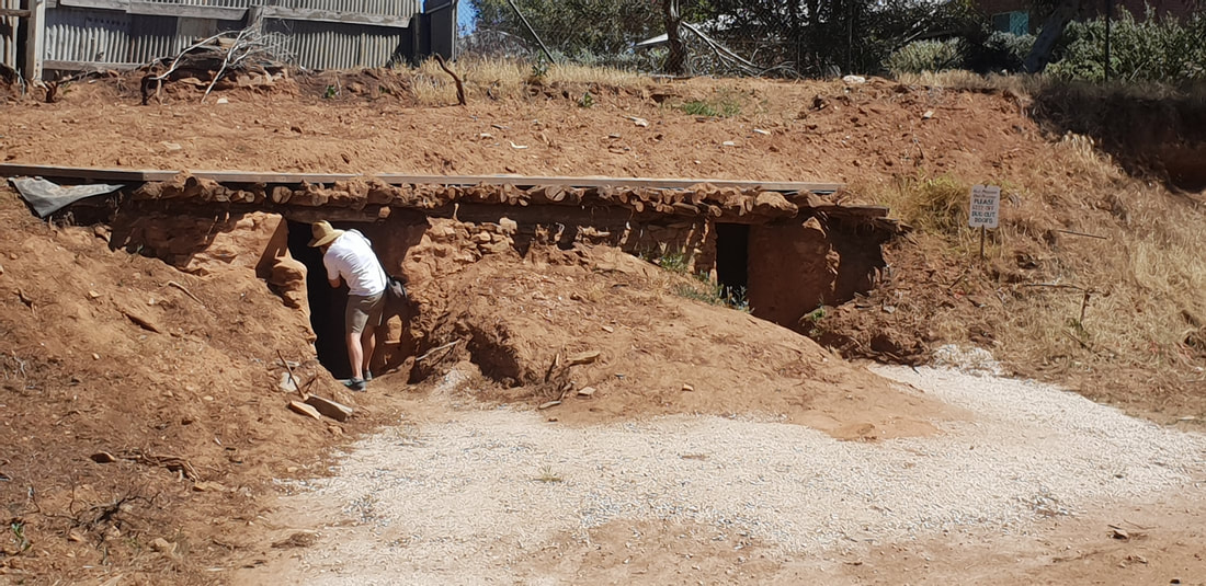
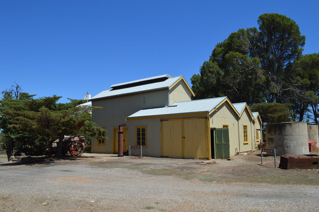
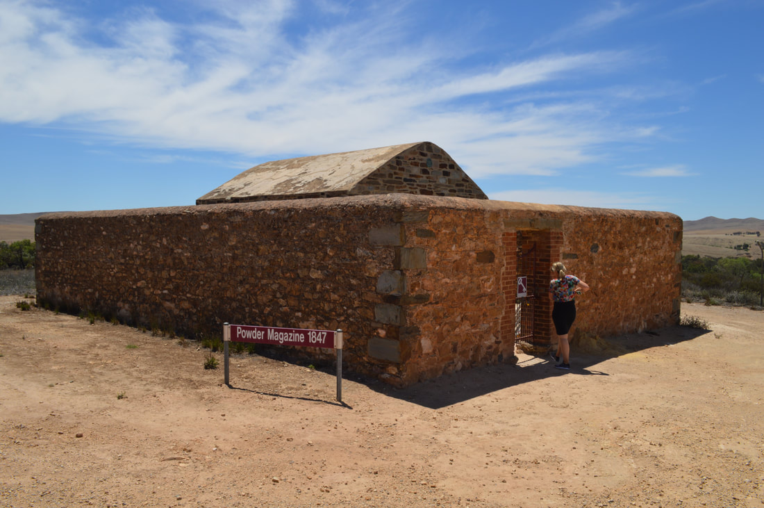
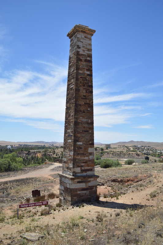
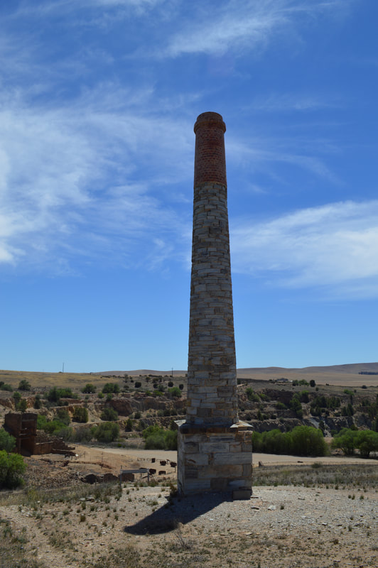
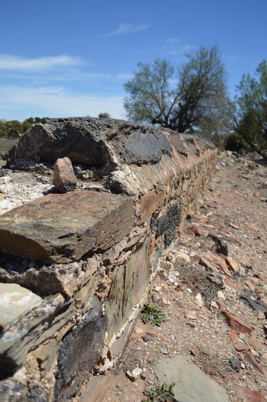
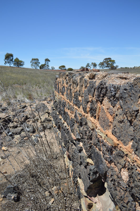
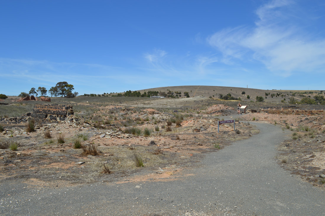
Smelting Works Site - 1849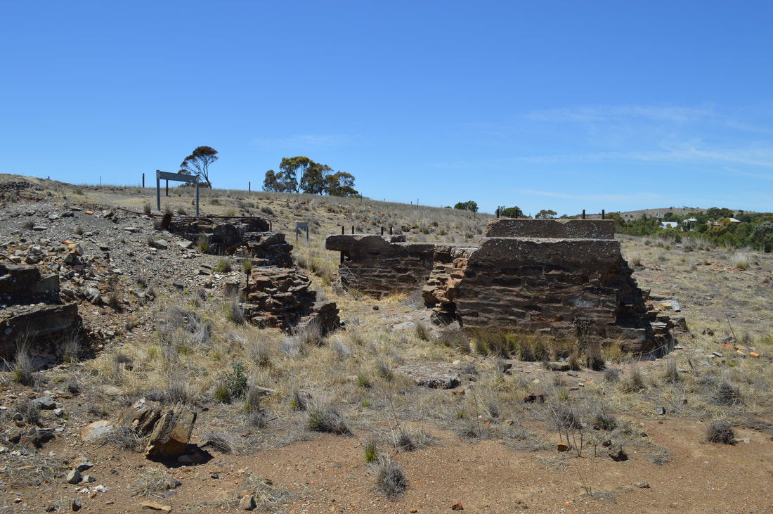
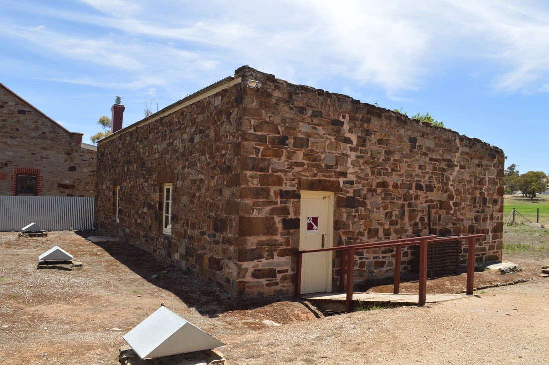
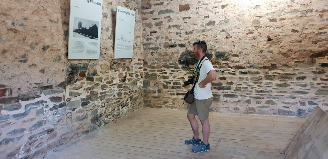
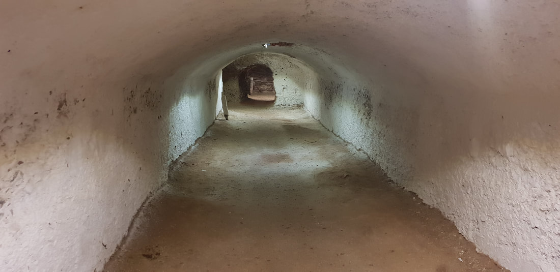
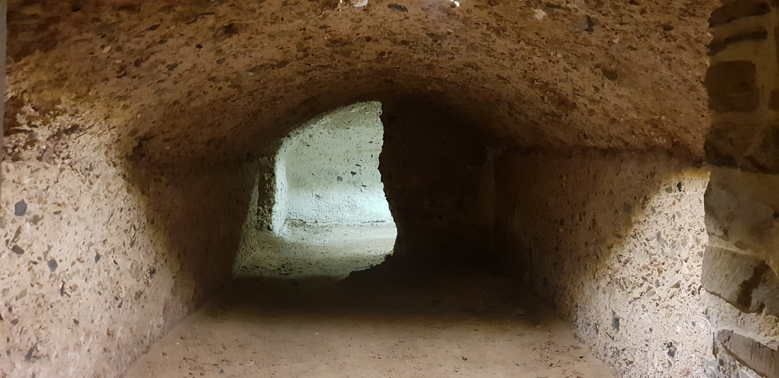
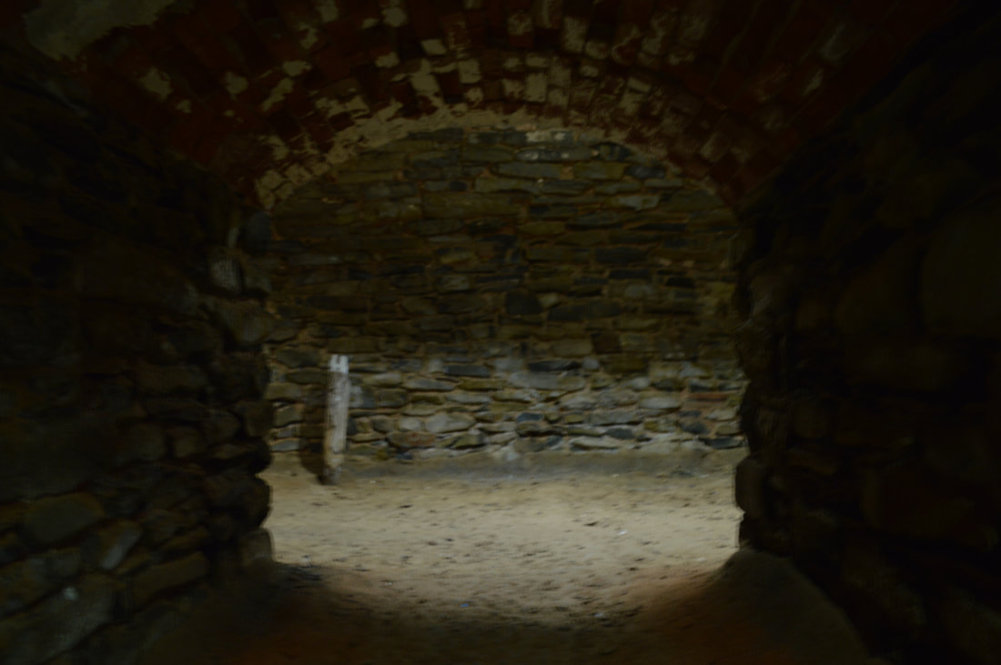
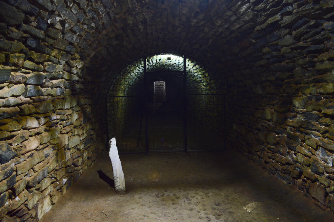
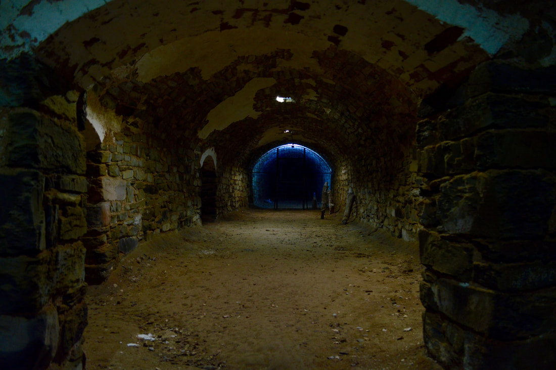
Unicorn Brewery Cellars - 1873
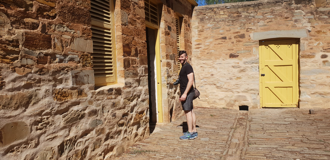
Malowen Lowarth - 1850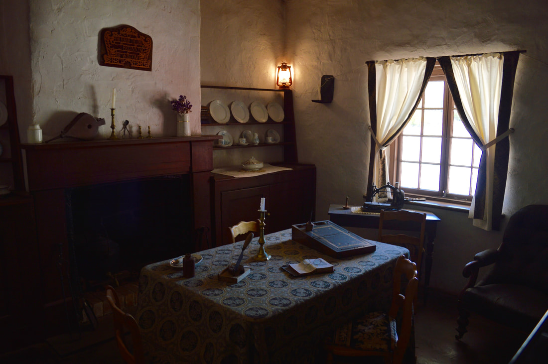
|
The JourneyChoose Curiosity The Catalogue
November 2023
The Tags
All
|


 RSS Feed
