|
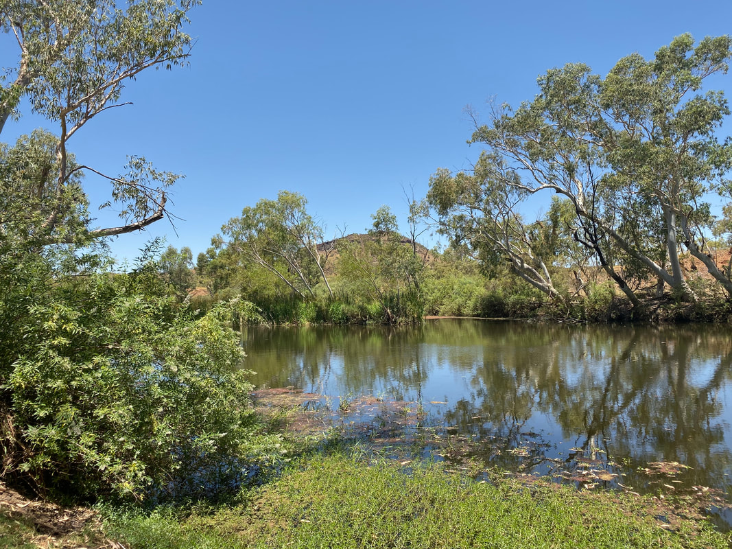
This purpose built lake is located about 70kms east of Mount Isa along the Flinders Highway and is a popular grey-nomad camping spot. We ate lunch in sitting in the back of Cherry with the rear door open and enjoyed being close to the water. Check out our previous visit and learn more about the lake by clicking on the button below. 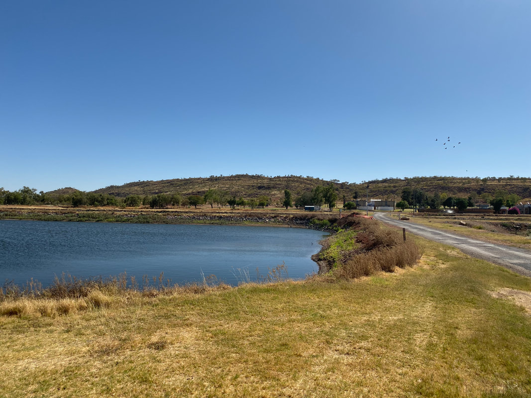 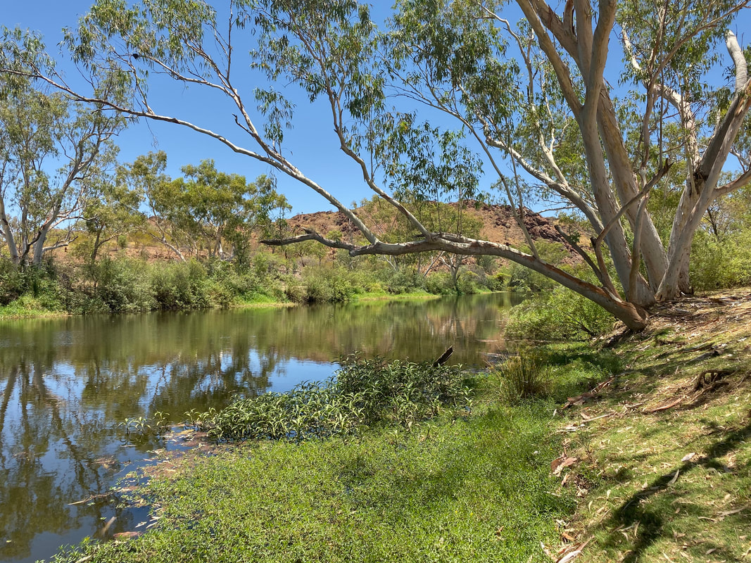
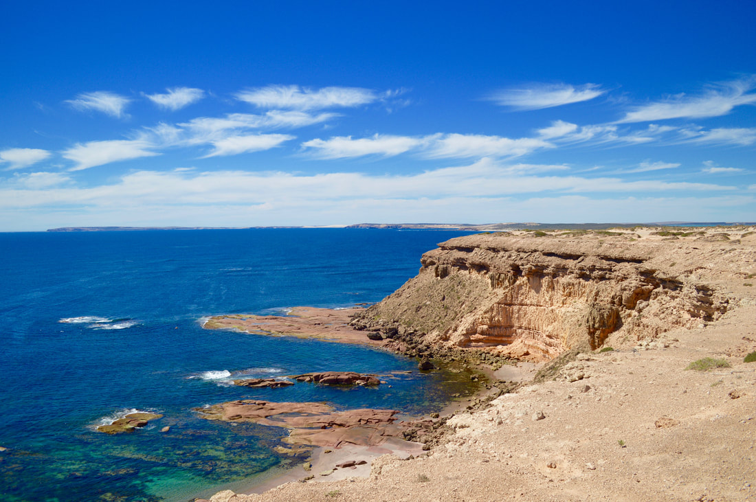
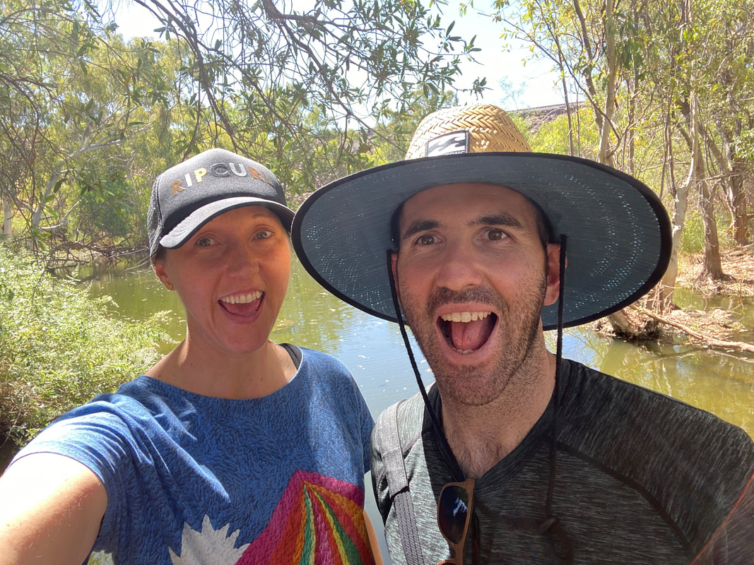
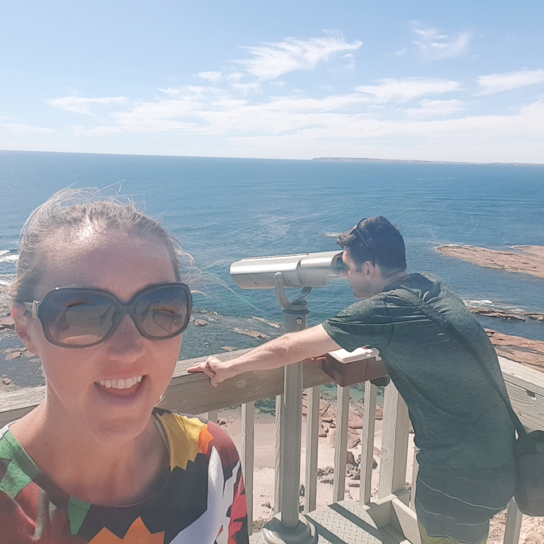
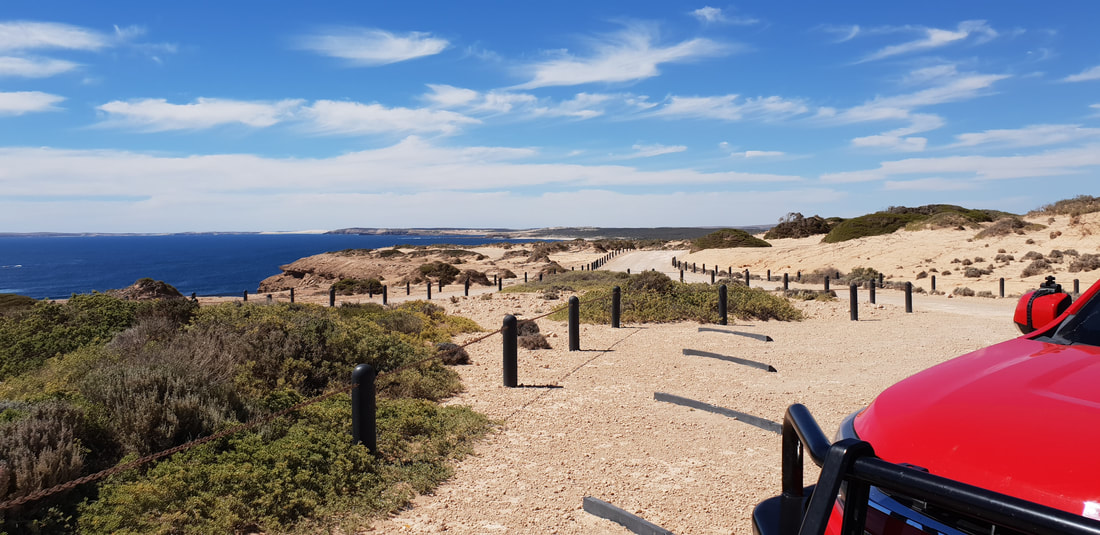
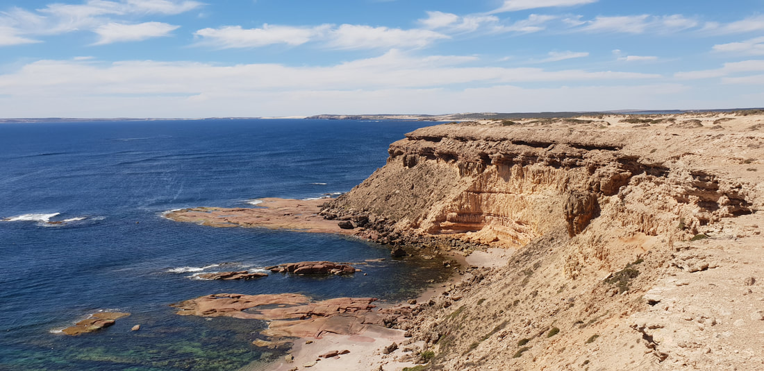
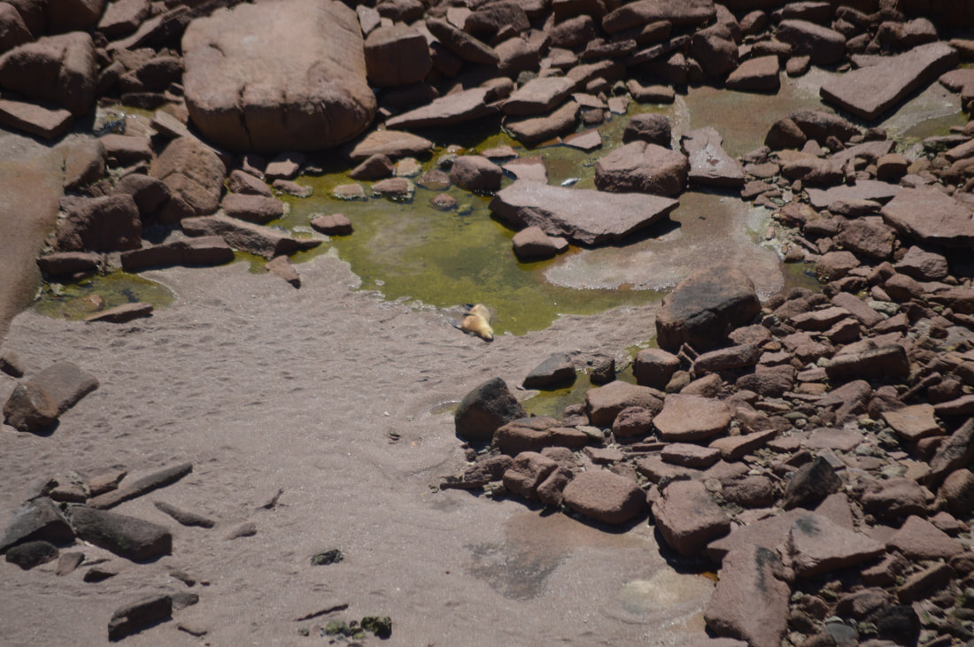
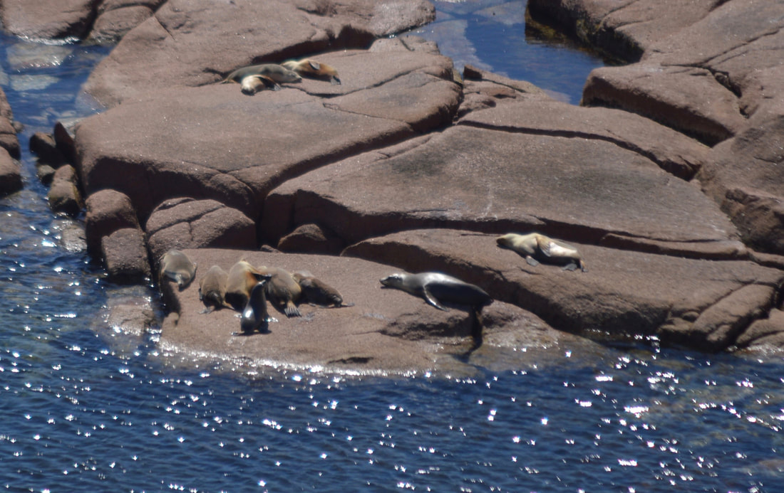
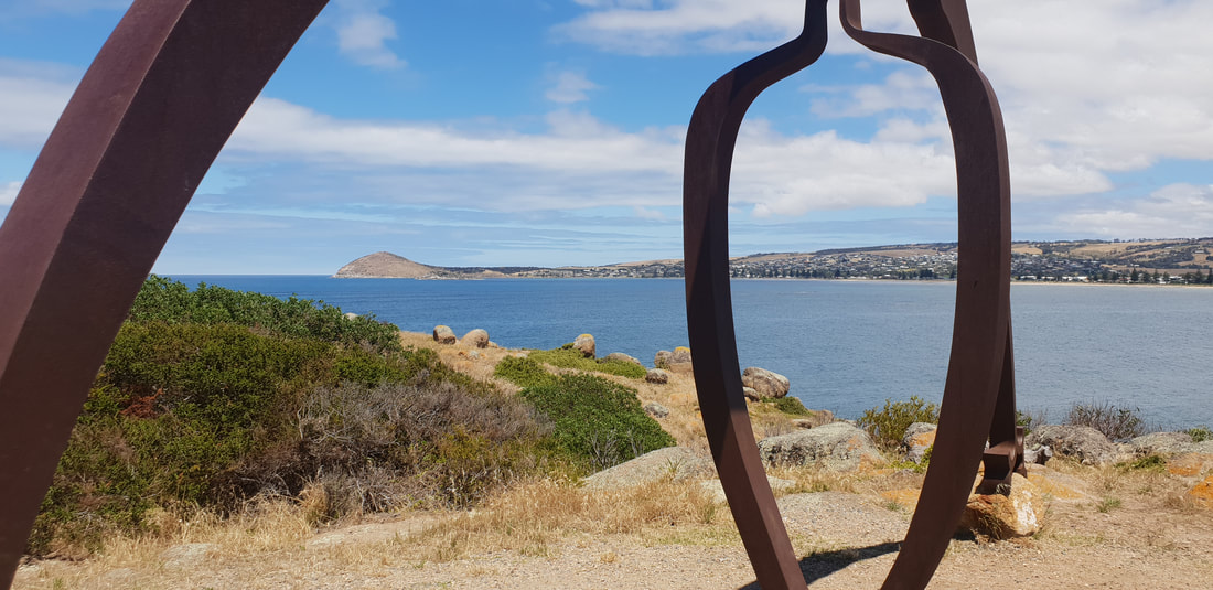
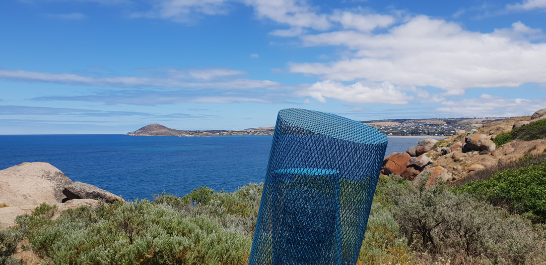
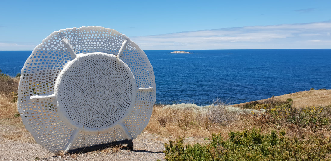
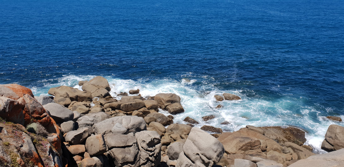
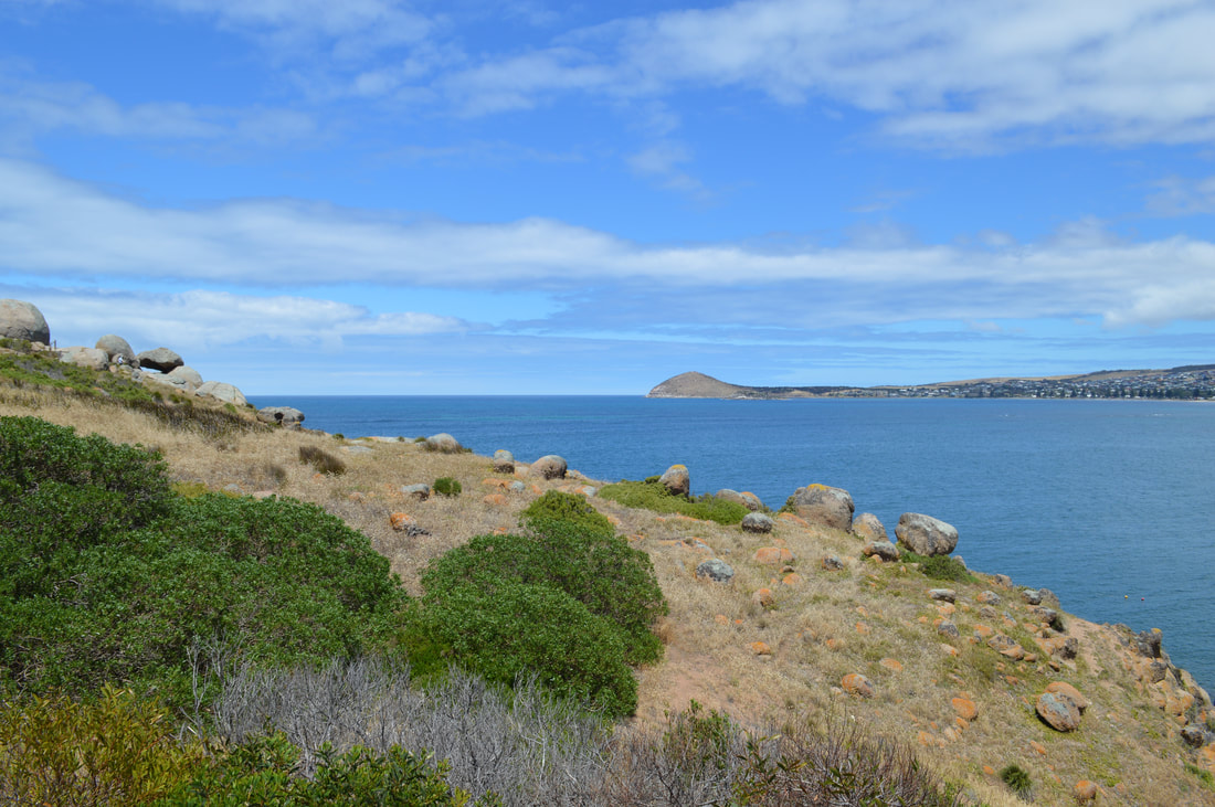
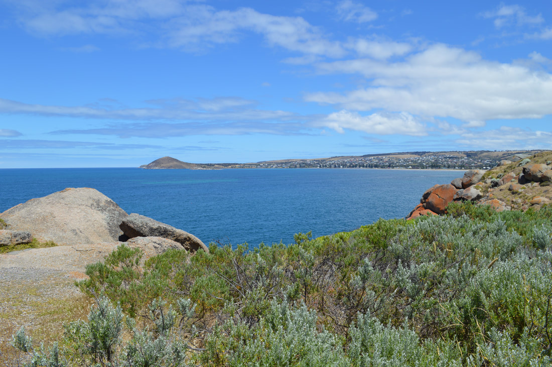
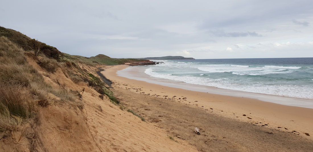
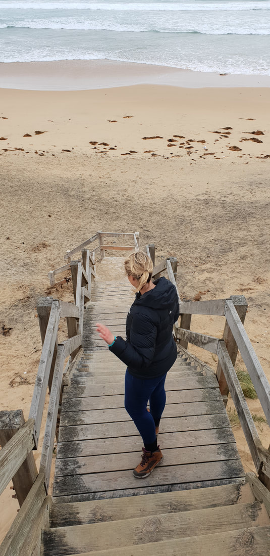
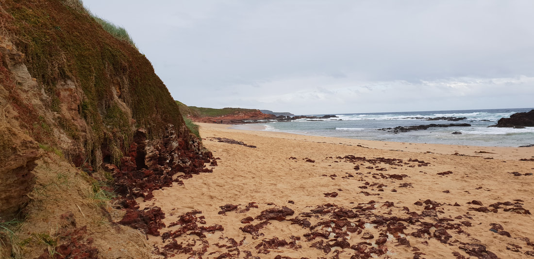
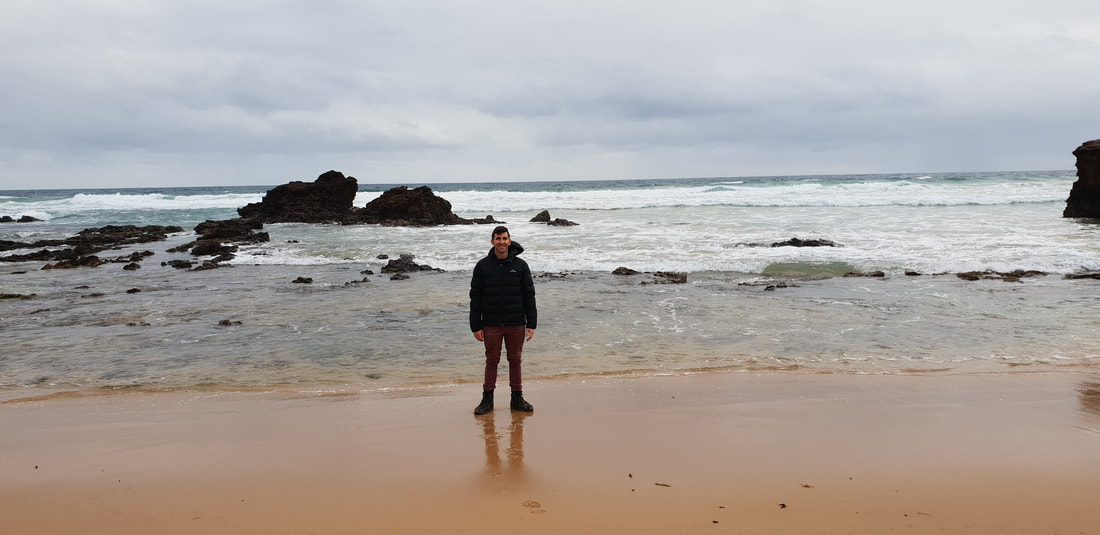
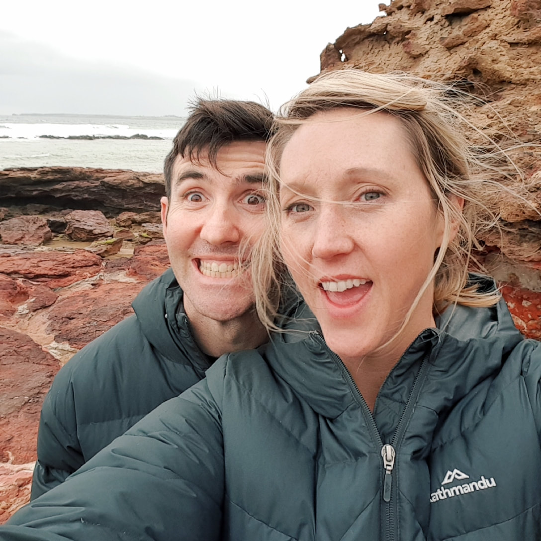
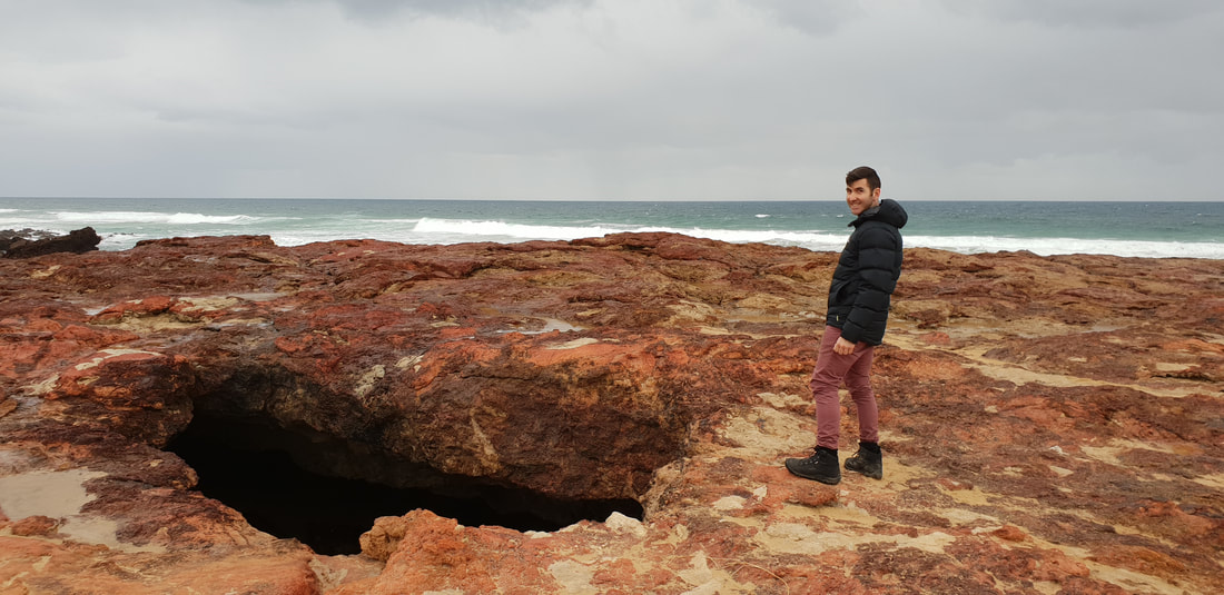
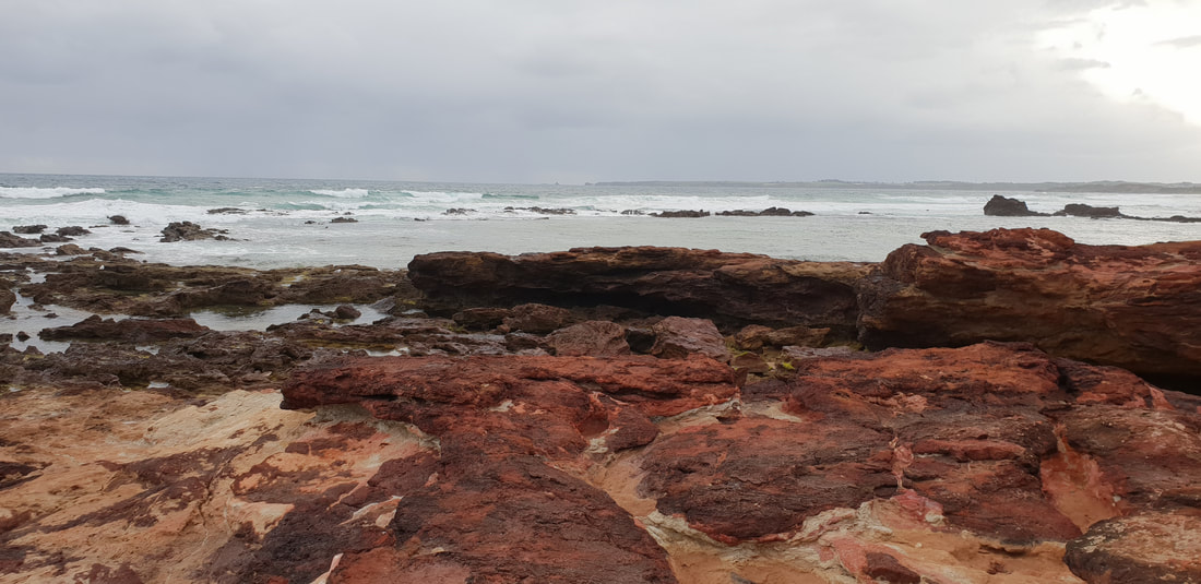
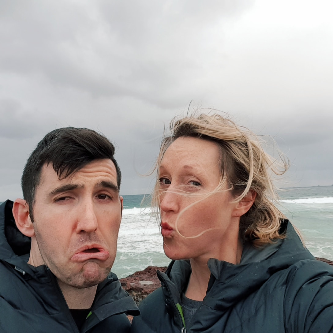
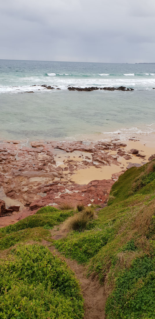
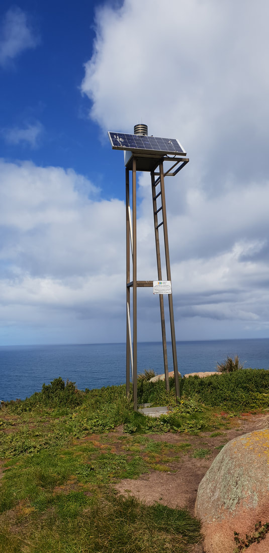
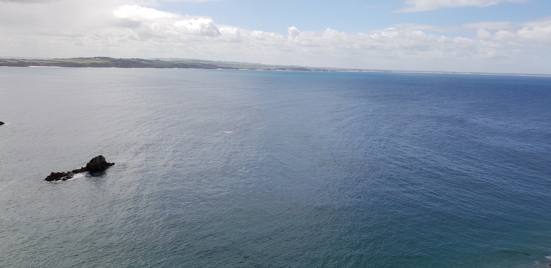
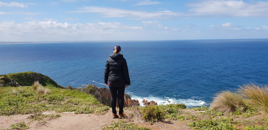
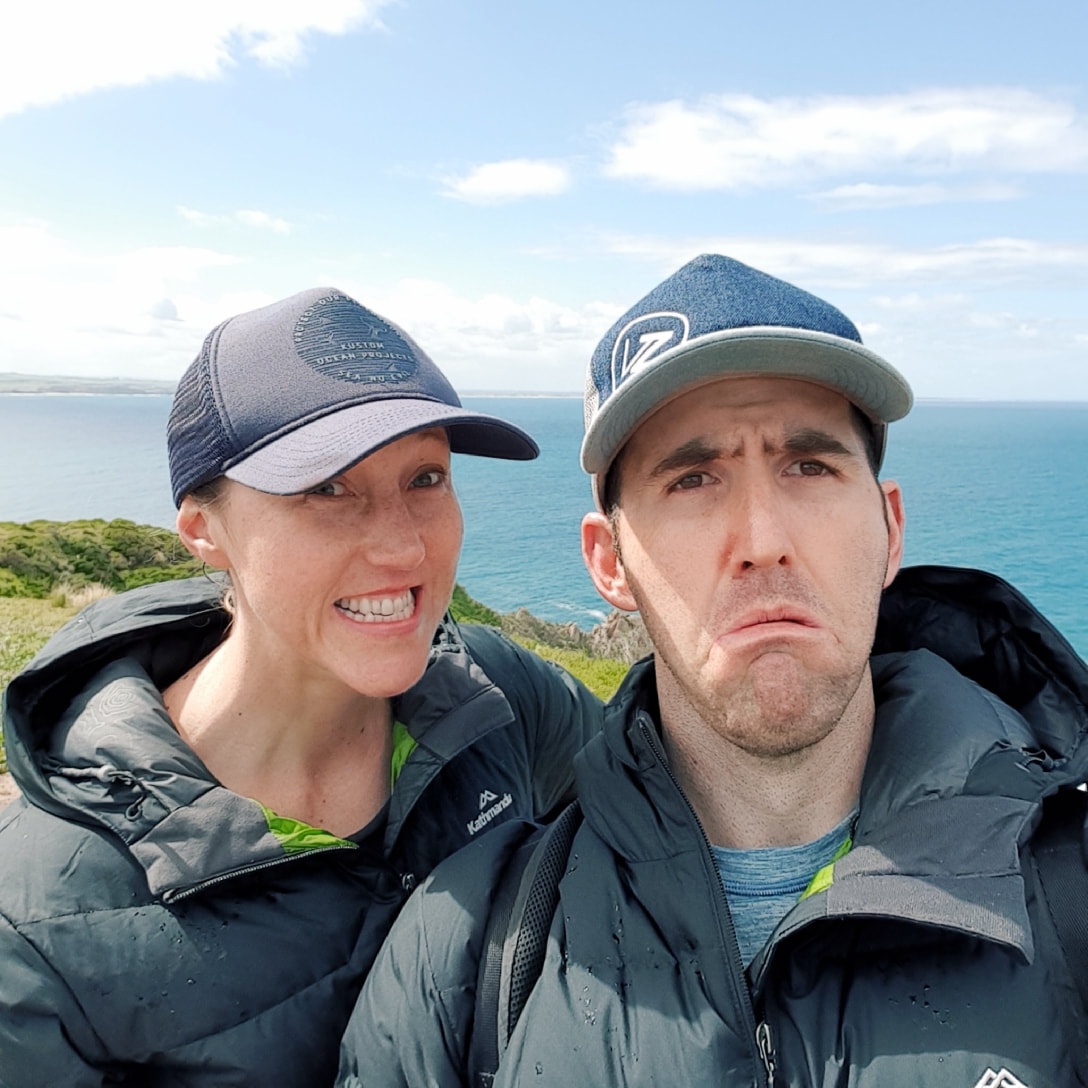
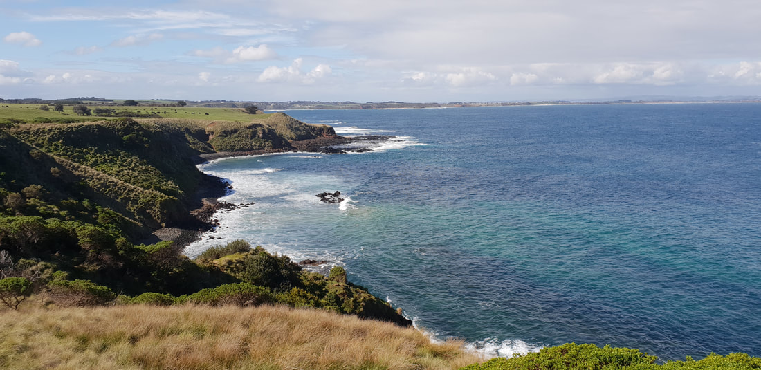
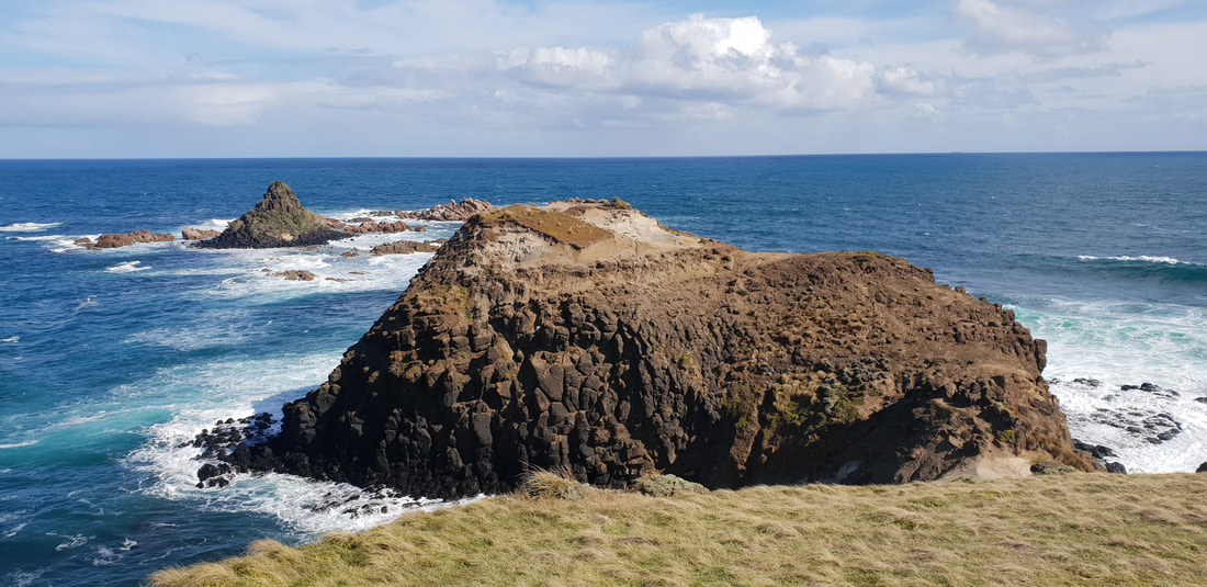
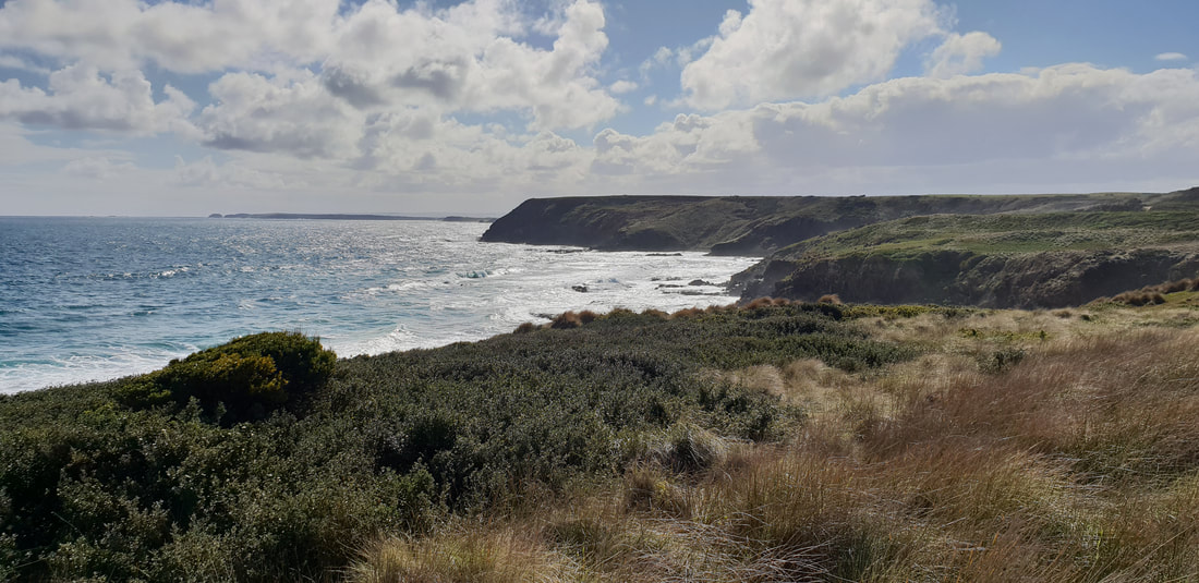
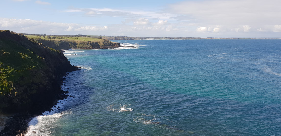
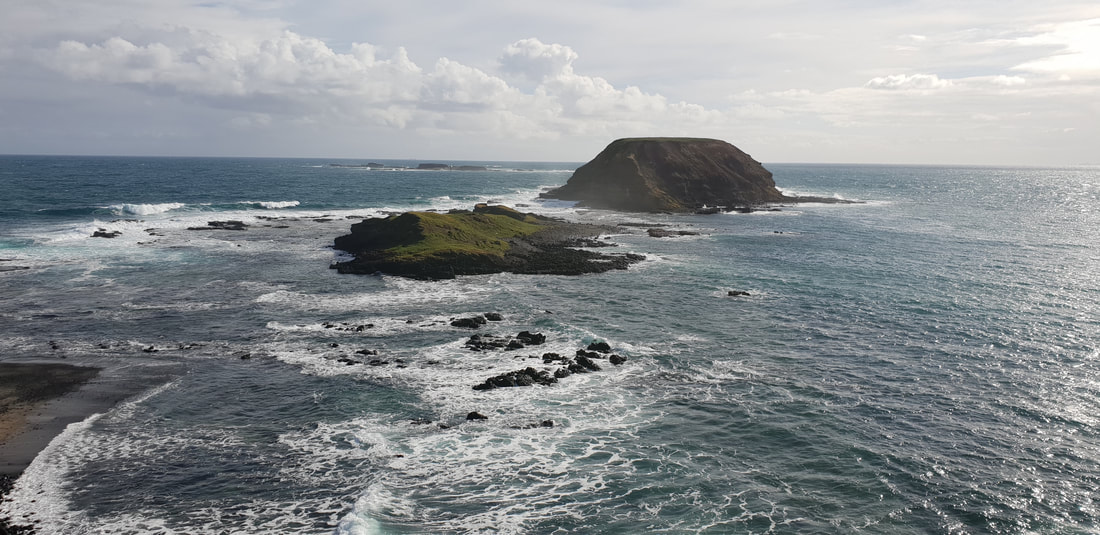
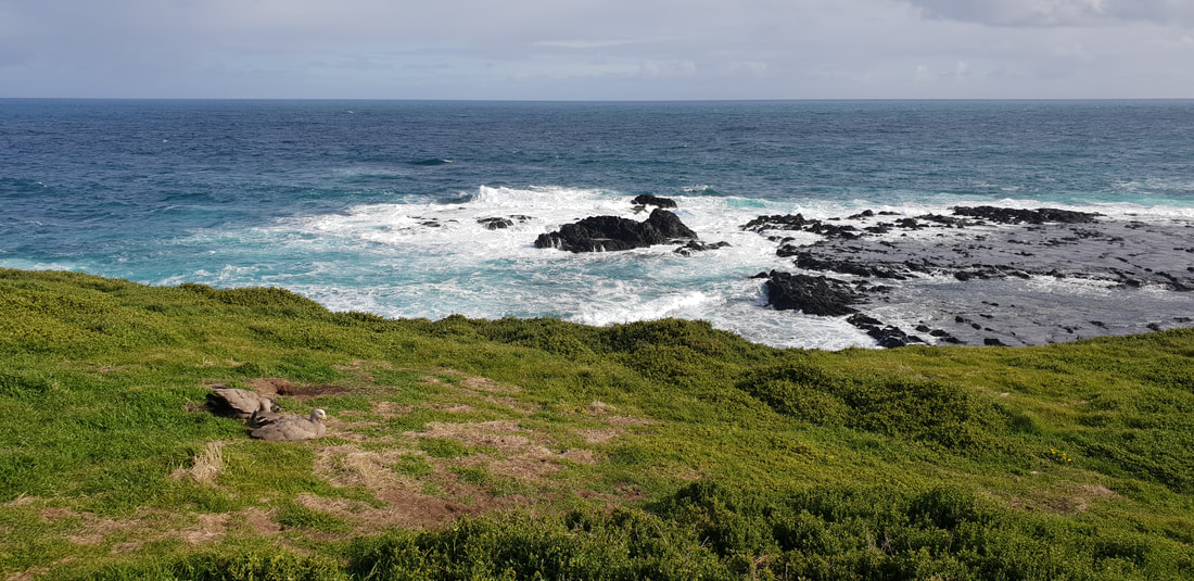
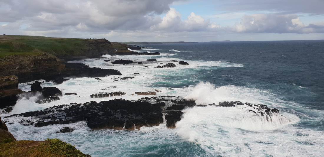
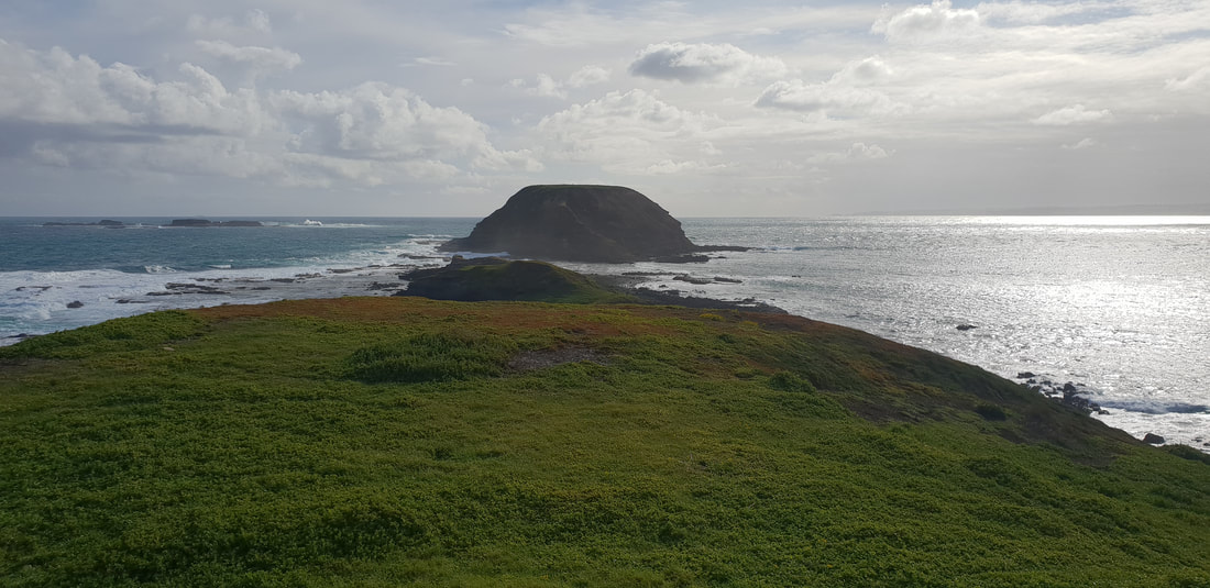
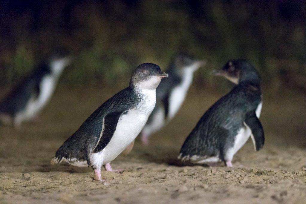
 The location is amazingly incredible in itself, stepping out of Cherry and looking around I said to Shovel, 'honestly I'm not even bothered if we don't see a sea lion, this landscape is breathtaking.' We were grateful to be the only visitors to the site and had the viewing platform and telescope all to ourselves. Initially, upon searching the coast line and rocks below we could only see about half a dozen or so lazing sea lions, but on closer inspection we started to notice, a dozen, then two dozen until we lost count. It was absolutely wonderful to witness these stunningly cute blubbery mammals gracefully glide through the shallows of the rock pools, navigate what appeared to be treacherous rock climbs with their flippers and laze sleepily on the sand or smooth rocks, occasionally rolling other to change sides. It was a pure delight to observe this magnificent, but threatened species in their natural habitat.
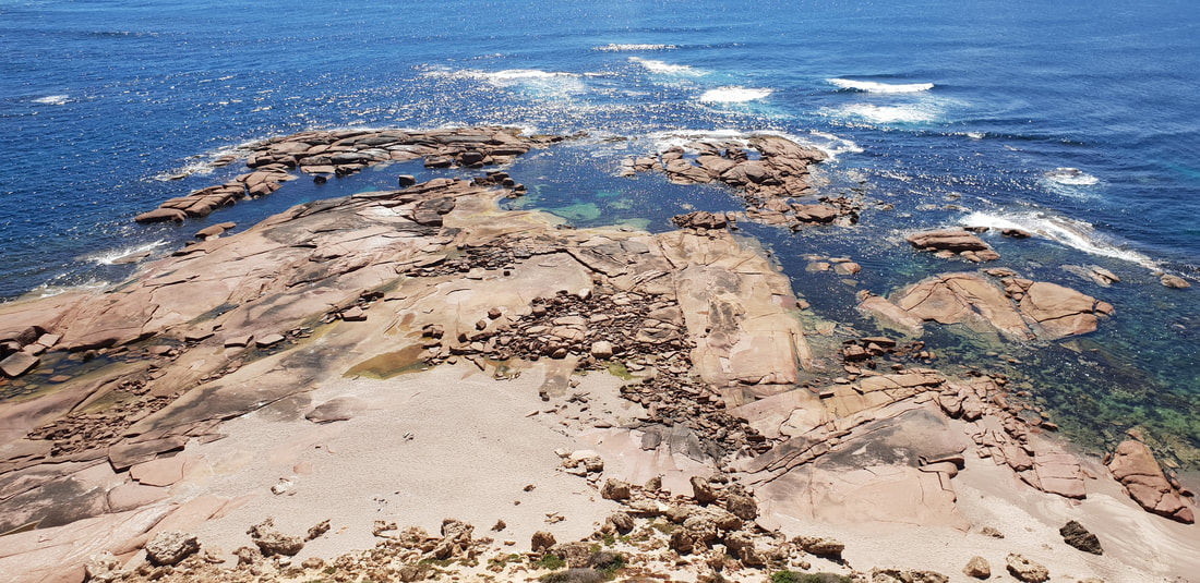 Point Labatt is home to the largest breeding colony of Australian Sea Lion in the World. Unfortunately due to over zealous poaching by First Europeans, Sea Lions were hunted almost to extinction in the 1800's, and although they are protected now, their numbers have never fully recovered and are still listed as threatened. Female Sea Lions can grow up to 1.5 metres long, weighing up to 120 kilograms and spend most of their lives pregnant. The gestation period, unlike other mammals can be up to 18 months, at which point upon the birth of the next pup the previous pup is weened. Males can grow up to 2 metres long, weighing up to 400 kilograms and spend most of their time fighting with other males over the females. Due to this aggressive behaviour there is a high death rate among new born pups. Females are grey/cream in colour whilst males are dark brown. Sea Lions are opportunistic hunters, feeding off a variety of fish, squid, cuttlefish, lobster and penguins.
 The Wirangu Dreaming Story speaks of a Wombat (Wardu) and a Seal (Balgurda). Wombat is fascinated by the sea (Warna) but Seal warns Wombat about the dangers of entering the sea as Wombat is not a sea animal. Wombat ignores Seal and enters the sea anyhow, only to start drowning. Seal nudges Wombat out of the perilous sea and saves Wombat. Wombat thanks Seal and apologies for ignoring Seal's advice. In a show of gratitude and respect Wombat gives Seal his front legs for digging and Seal gives Wombat his flippers for swimming.
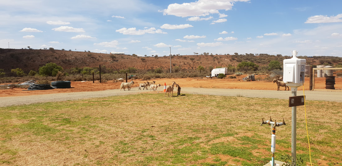
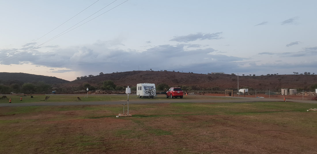
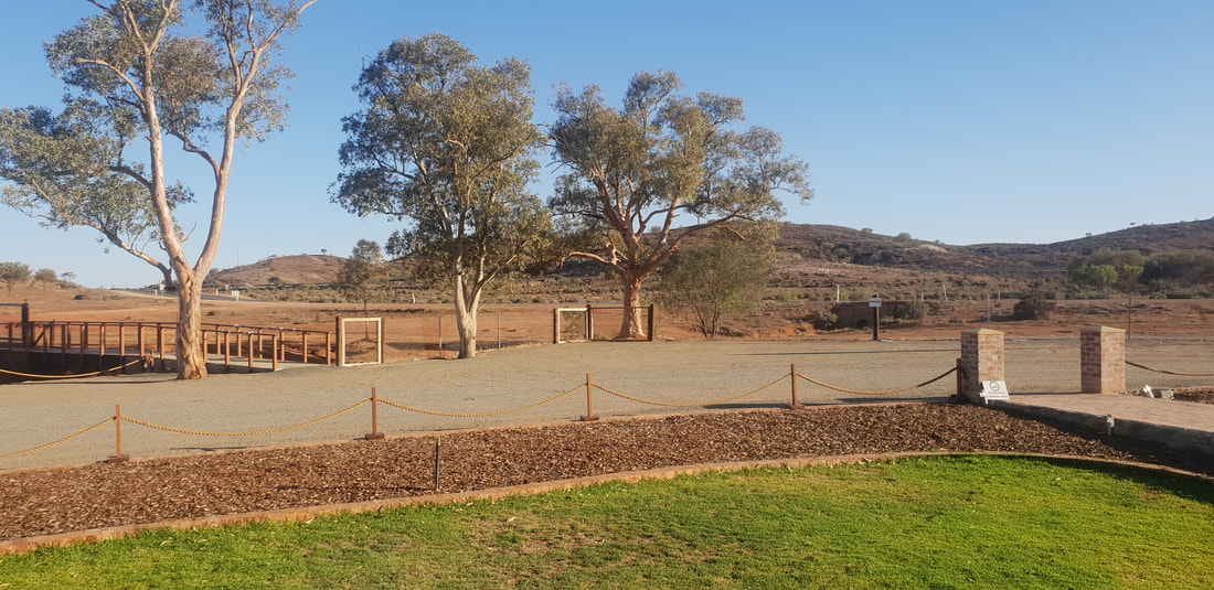
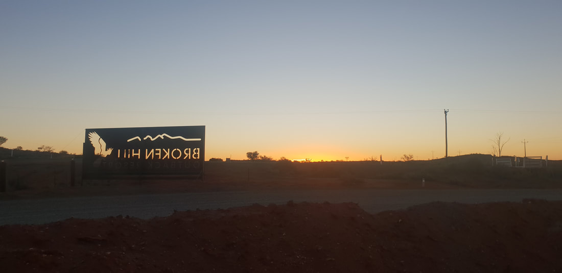
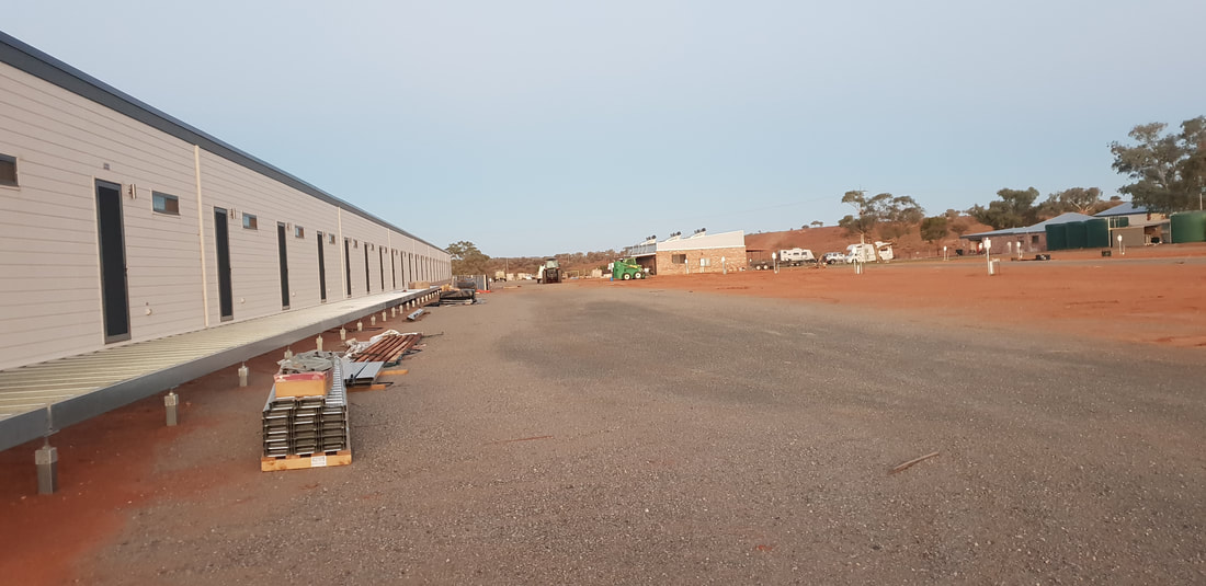
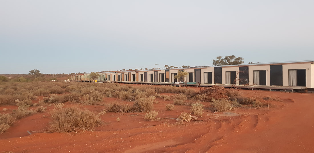
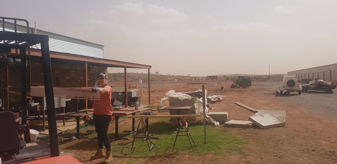
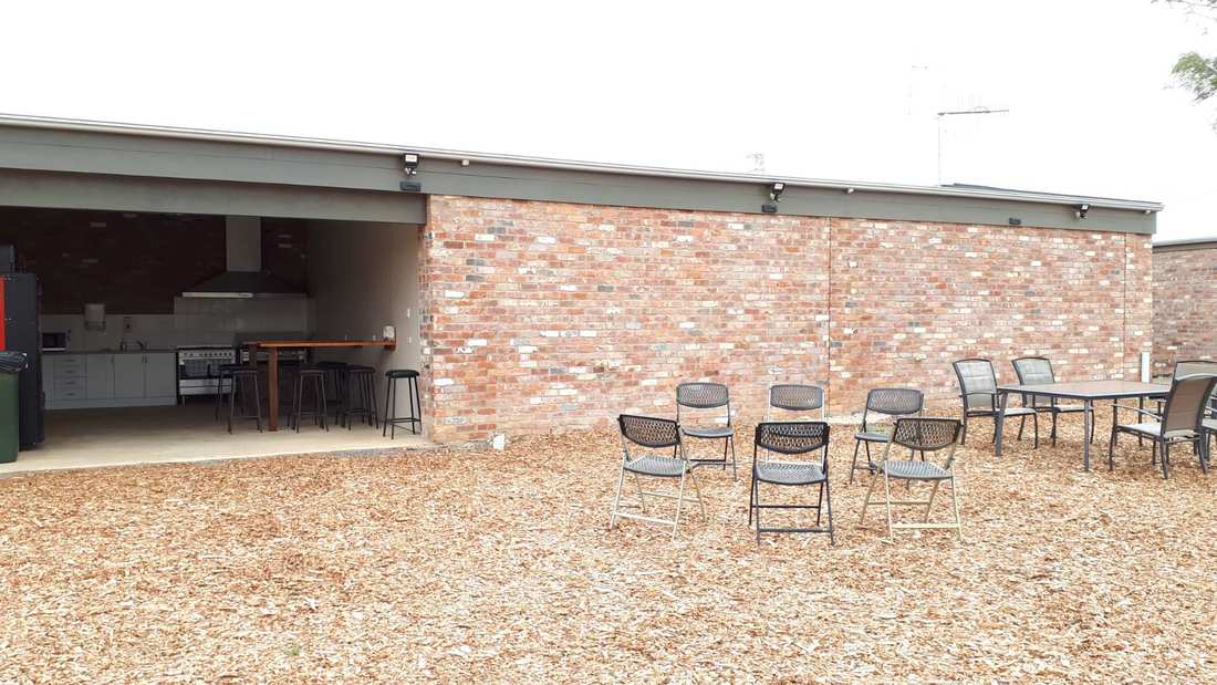
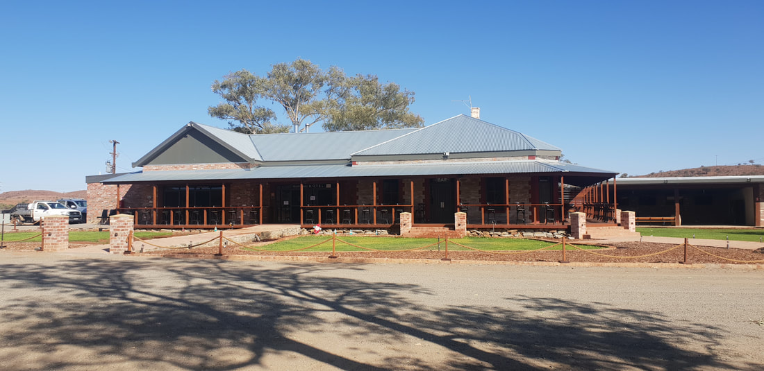
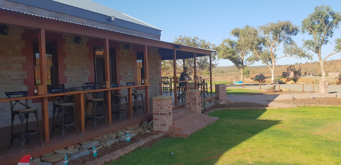
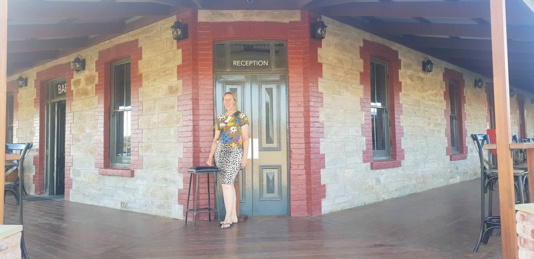
We pre-booked a week at the Broken Hill Outback Resort, which is located about 15 kilometres east of Broken Hill. The reviews of the only other two caravan parks in town spoke less than highly of the them; one with 'perms' the other with 'thieves' leaving us with the 'Resort' as our only option. What we didn't realise until upon our arrival was that the place was still a construction site. Not exactly what we had envisaged when booking a 'Resort' for the higher than average rate of $40 per night... 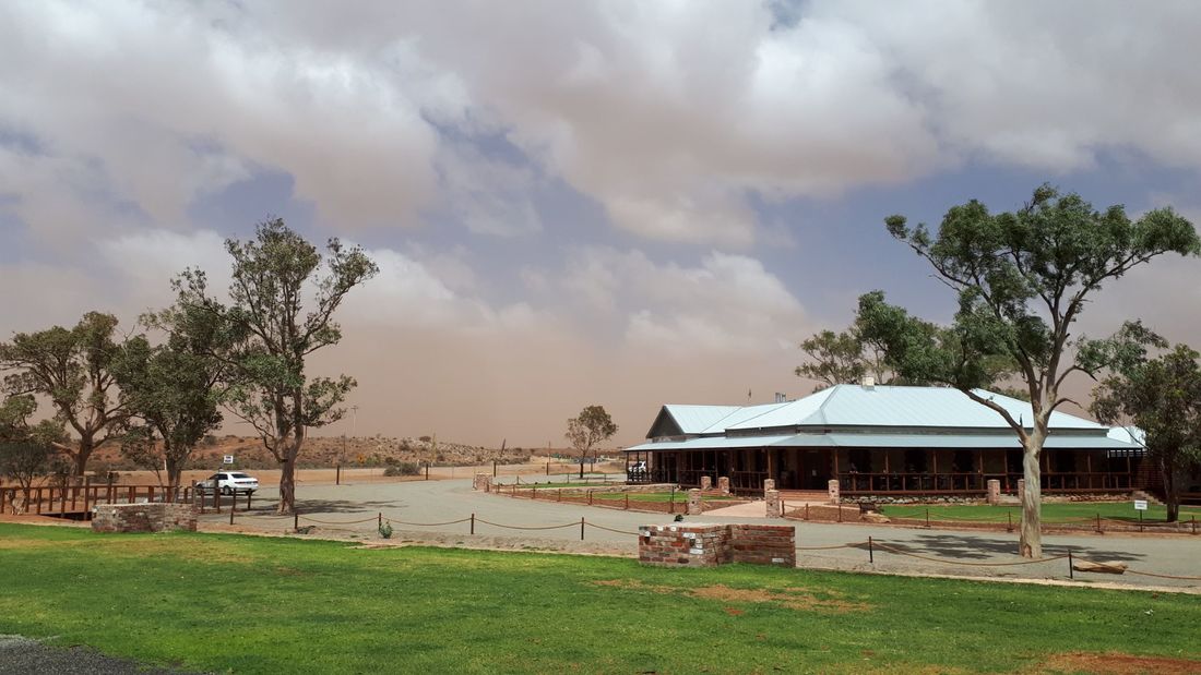 A couple of days after we checked in the owner knocked on our door asking if we'd like to help out with odd jobs around the 'Resort' for the amazingly generous wage of $13.33 per hour. How could we refuse. Haha! We've been offered caravan park work in the past and have always declined, as hospitality and caravan park tourism aren't industries we want to get involved with. However, the romanticised story of the 'Resort' made us smitten with the place so we agreed to work six days a week, ten hours a day for the next three weeks. 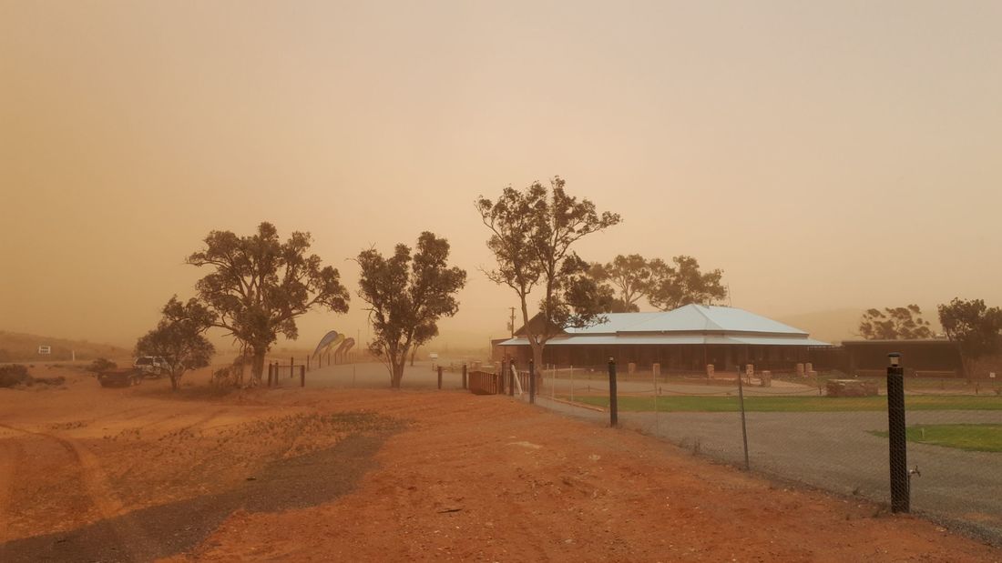 We lasted seven days... But first back to the romance... the Mount Gipps pub, located in an unincorporated council area was shut in the late 1980's and left abandoned until it was rediscovered by passerby and local businessman, Scott Smith who created a vision to renovate the pub and turn the area into a luxury spa-cabin, caravan park, camp ground, pub, restaurant, conference centre and day-spa complex. Ambitious, absolutely! Admittedly the restoration of the original Mount Gipps pub looks terrific and lures you into the vision, but honestly we believe the project encompasses far too many sub-projects to be viable, and from what we can tell, the owners don't appear to have an understanding of the caravan market, but I guess as that age old adage goes, only time will tell...
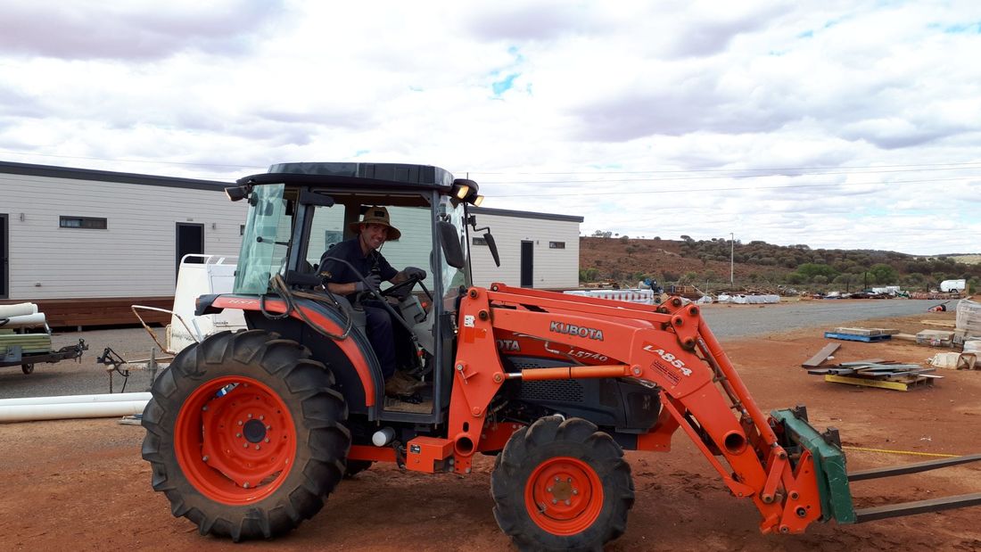
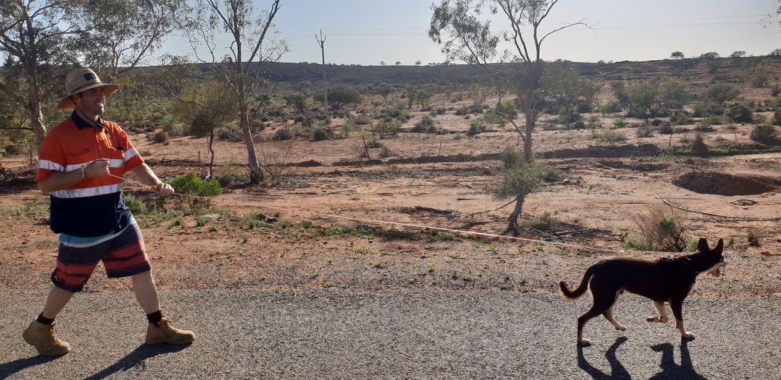
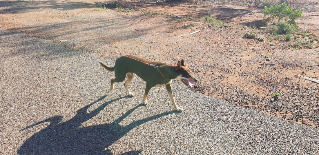
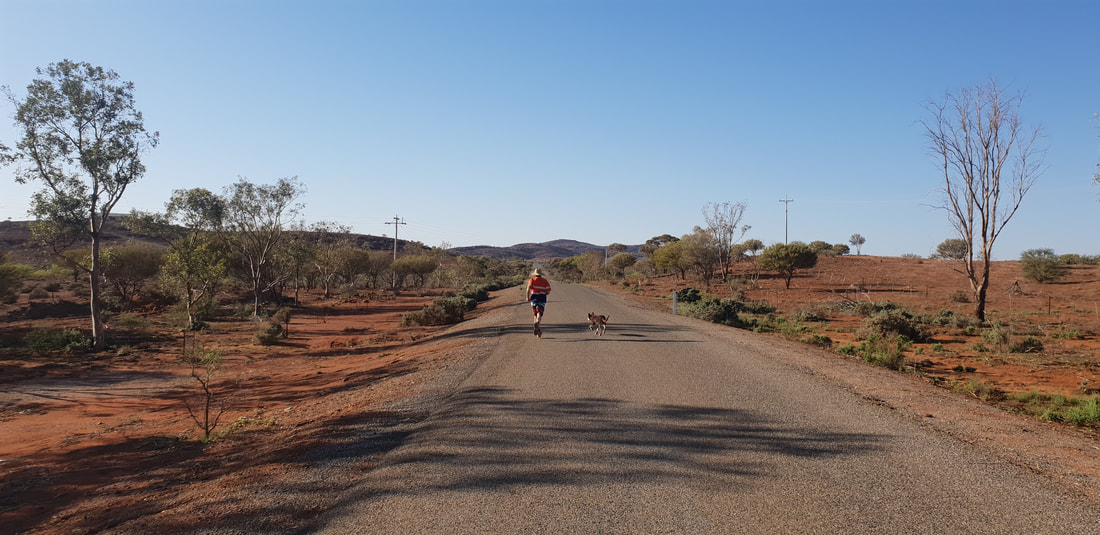
During our seven day flogging, I mean employment, we cleaned multiple bathrooms, the camp kitchen, completed more random cleaning around the bar, deck and entertainment areas, Shovel had a crash course in sprinkler operations and maintenance and cleaned daily the filters for the 'Resorts' water supply that runs directly from Stephens Reserve located a few kilometres up the road. The Reserve's water level is quite low, therefore Shovel was cleaning thick mud from the eight large sock-like filters. We also assisted in yard work, Shovel was incredibly impressive driving the mad-max style ancient equipment and we got dirty shovelling, moving individual sheets of gypsum, picking up after the tradies and trenching. We also worked through 35+ degree temperatures, a huge afternoon-long dust storm, a day of drenching rain and retrieved the Managers dog, Ranger who took us on an adventure and admittedly our funnest moment of the week (although don't tell the owners) as he took-off into outback along a dry creek bed for about two kilometres, chasing kangaroos. Despite being completely exhausted and in desperate need of a drink Ranger had had the time of his life. Not surprisingly we were ready to hit the road again after a week...
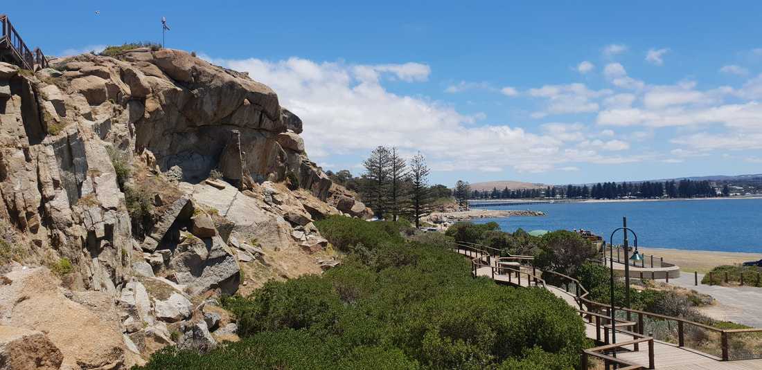
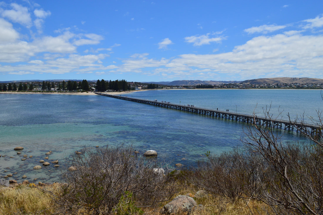
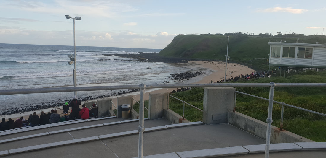
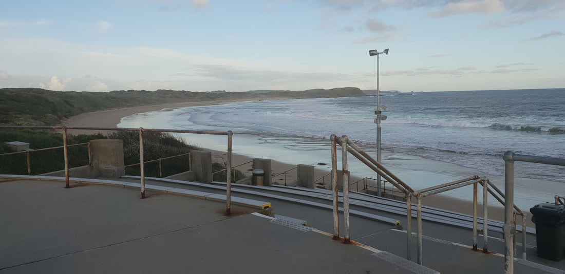
On one of our days in Adelaide, we took a short 60 kilometre drive to Victor Harbor. It's a town with quite an interesting history, which all began at Encounter Bay. The bay that Victor Harbor sits on was first discovered by Matthew Finders in April 1802 while he was surveying the southern coast of Australia from the west. The most interesting part is he spotted French explorer Nicolas Baudin in Le Georgraphe near the Murray Mouth several kilometres away. The French and the English were at war during that time, both ships had documentation from each other's nation’s government stating they were not ships of war and were purely on scientific missions. The ships banked ashore and shared paperwork. From that day where they banked, it was named Encounter Bay by Matthew Flinders. In 1837 Captain Richard Grozier anchored off Granite Island just across shallow waters of where the town is today. He named the isolated waters Victor Harbor, after his ship HMS Victor. Not long after, two whaling stations kicked off at Rosetta Head and Granite Island, putting South Australia on the map for whale oil exports. The town of Victor Harbor was laid out on the beach in 1863 after the horse drawn tram extended it’s services from Goolwa. Hindmarsh Falls
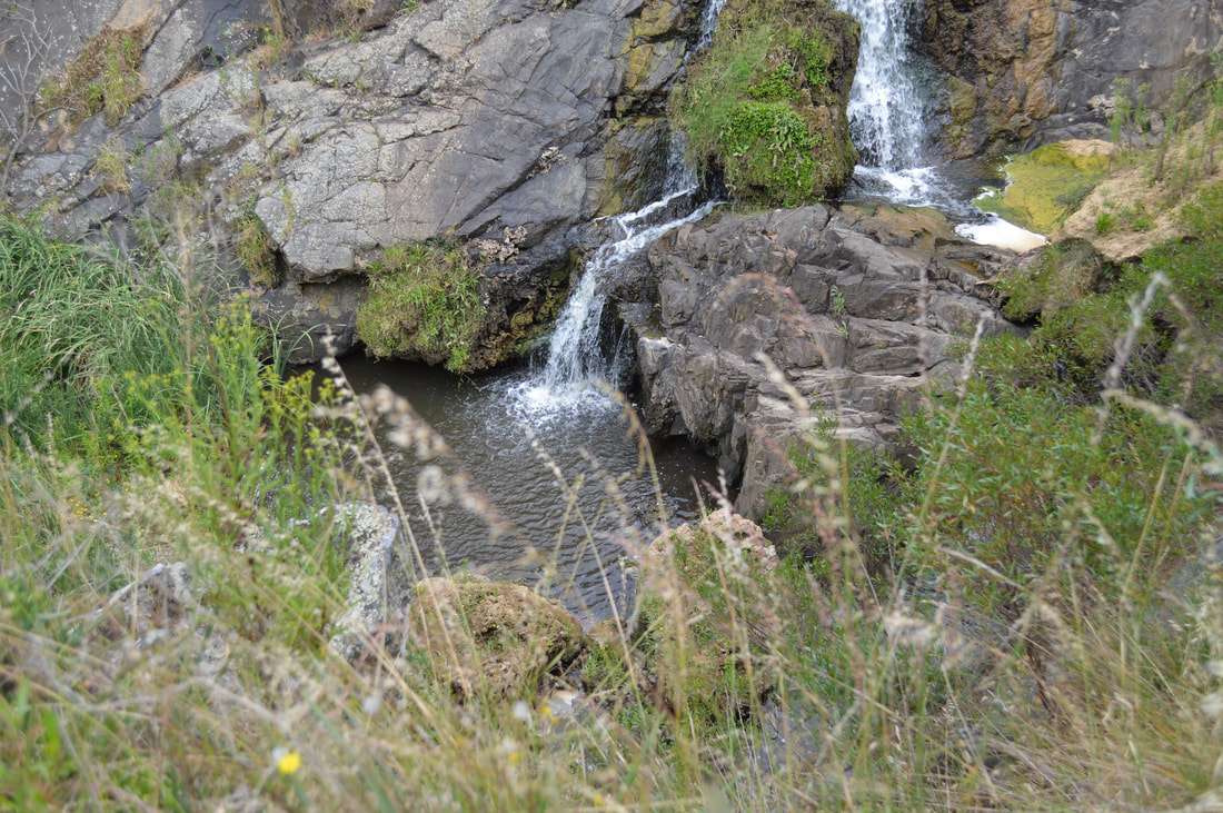
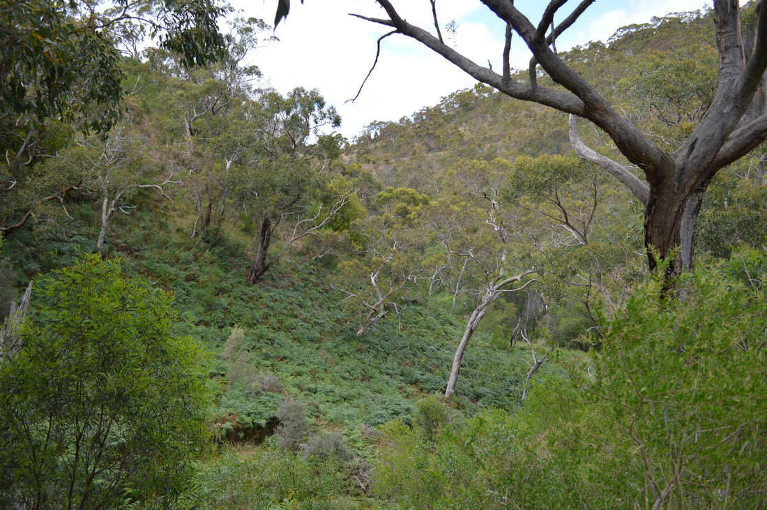
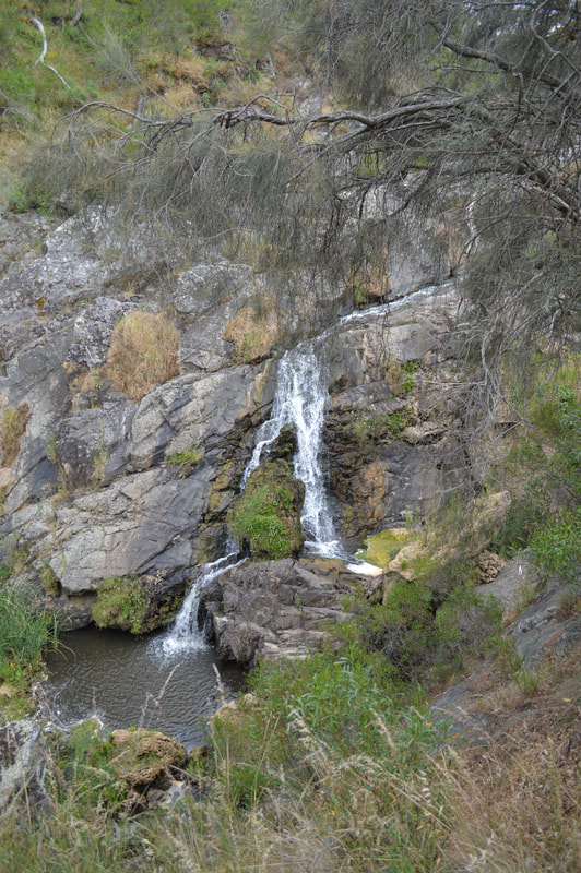
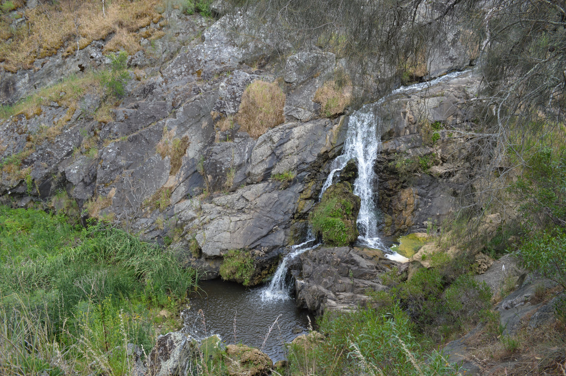
On the drive towards Victor Harbor, we pulled in for a look at the Hindmarsh falls. A short drive off the Hindmarsh - Tiers Road takes you to a hidden gem in the dry country. Dark green vegetation and running water make for a pleasant water fall. We made our way into Victor Harbor, parked up at the esplanade and went for a stroll around the town. Heritage listed buildings like the savings bank, telegraph office, cinema and railway stations aide you to imagine what the town was like back in those days. Its a tidy town and a breeze to walk around with its relaxed atmosphere. Granite Island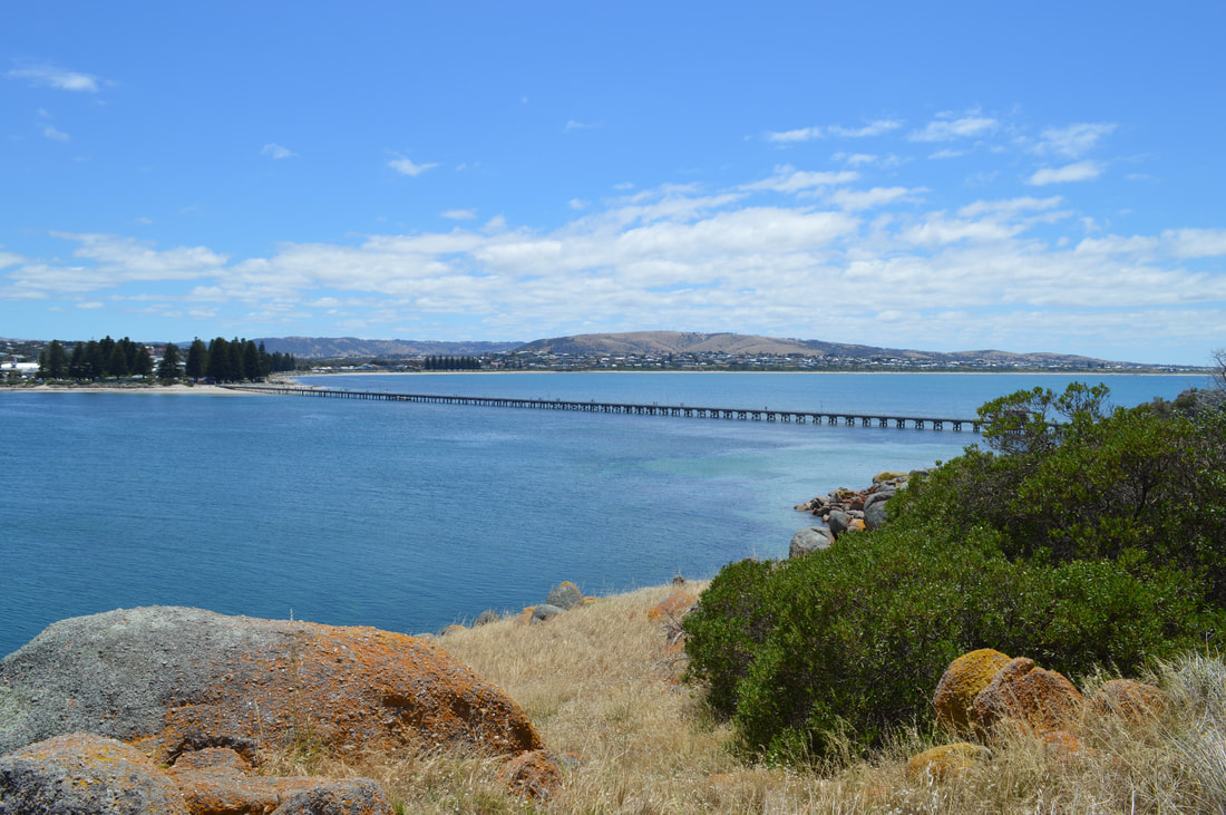
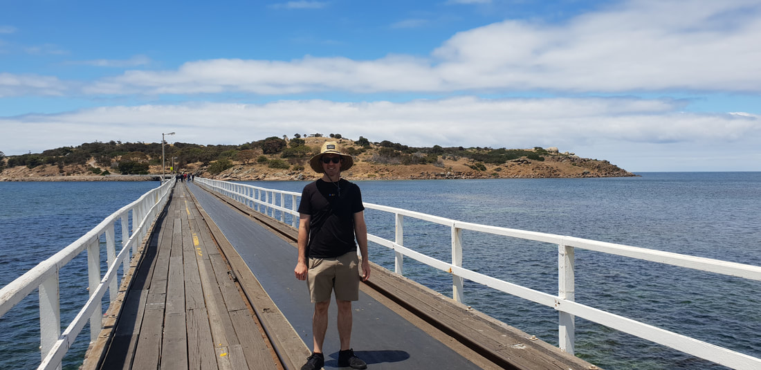
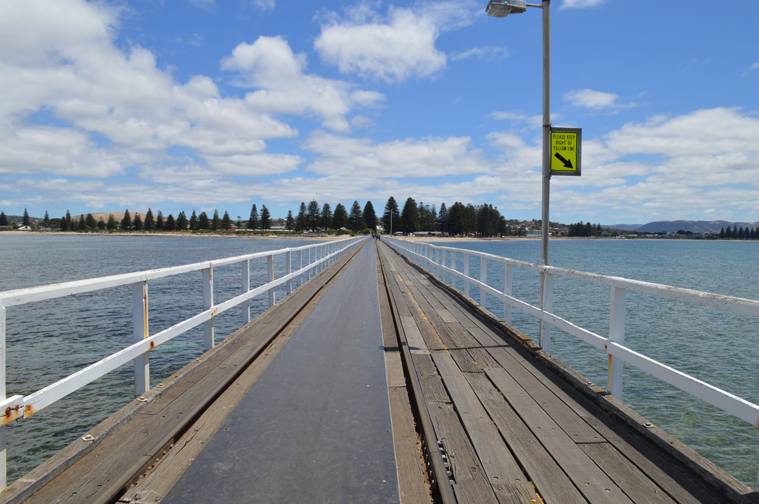
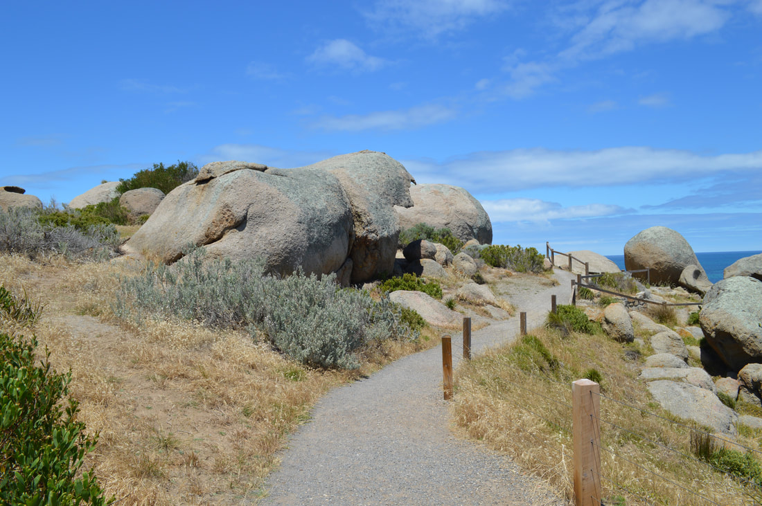
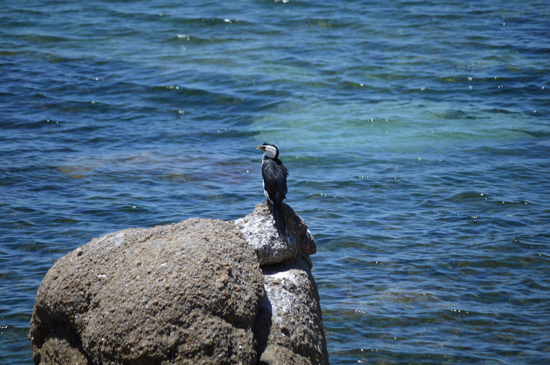
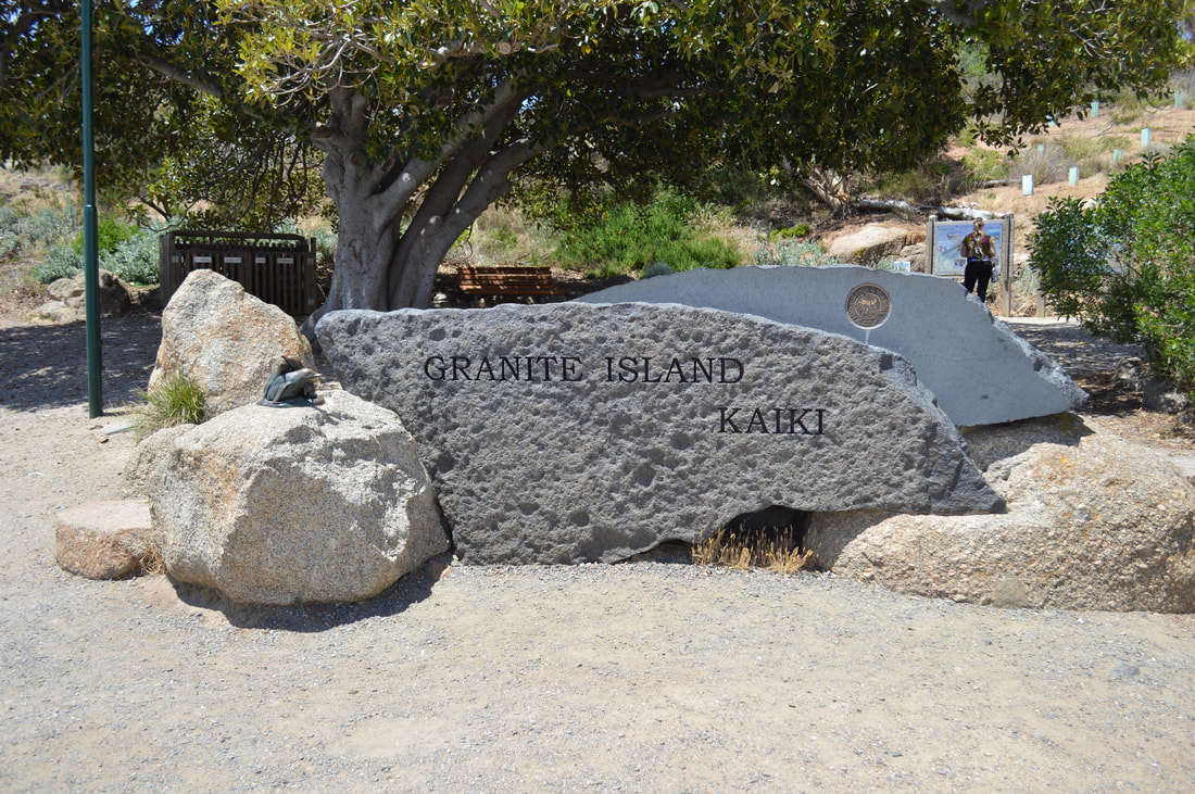
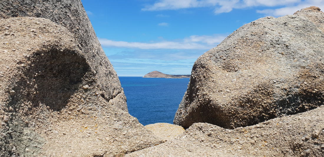
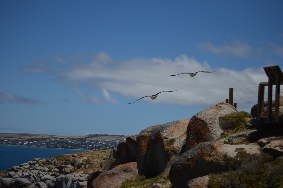 We headed out for a walk across the bridge to Granite Island and were quite shocked to see the horse drawn cart still happening. This idea of transport worked great for back in times without electricity or internal combustion to transport granite and whale products. To be using this primitive idea now to move sloths across the bridge who couldn’t be bothered walking is completely impractical. The horse looks like it breaks it’s back towing the tram along the tracks, it wouldn’t be good to know how bad it was for them when they were dragging granite and other goods around. We walked around Granite island on the walking track. The leisurely stroll makes for splendid views across the waters of Victor Harbor back into the town. Some artworks on the way kept us entertained alongside some of the birdlife doing their daily routine. On the easterly side of the island was some more views out towards sea eventually bringing us back to the bridge. We also noticed a couple of penguin chirps on our walk, a colony used to beach on Granite Island, over the years the numbers have declined drastically to a growing New Zealand seal population and vandals. We finished off the day with a delicious sweet potato fritter from McLaren Vale and made our way back to Florence. We did enjoy parts of Victor Harbor, pleasant heritage buildings and a walkable island were certainly the highlights. A few of the tourist attractions seemed well past its prime, the penguin viewing area looked like it hasn’t been used for years and the Horse Drawn tram feels like Victor Harbor’s last tourism hope, which looked a little depressing. The easy going pace made for a relaxing day in Victor Harbor, not a bad place to visit, but not again. Around Town
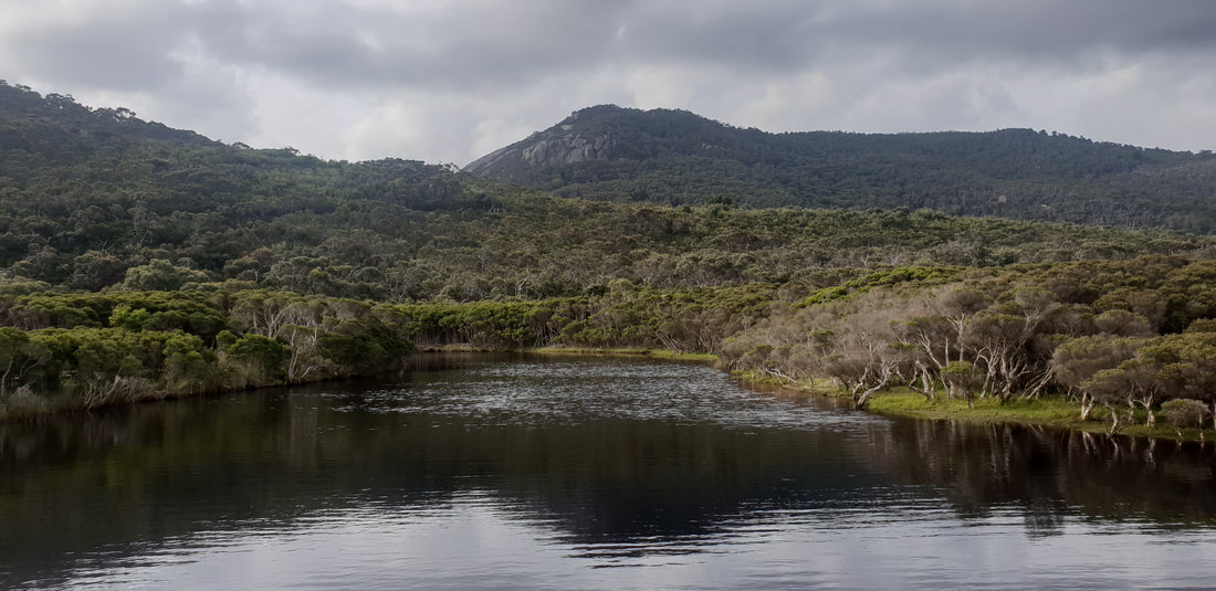
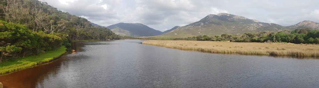
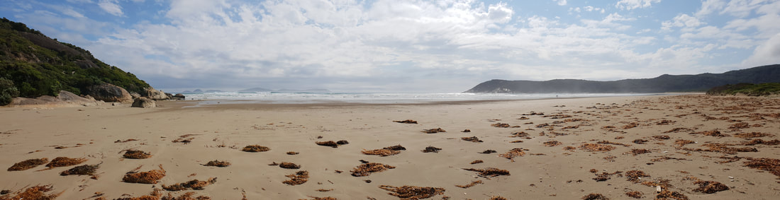
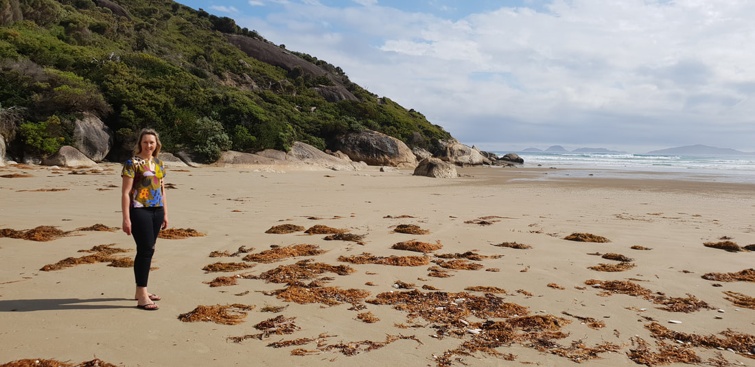
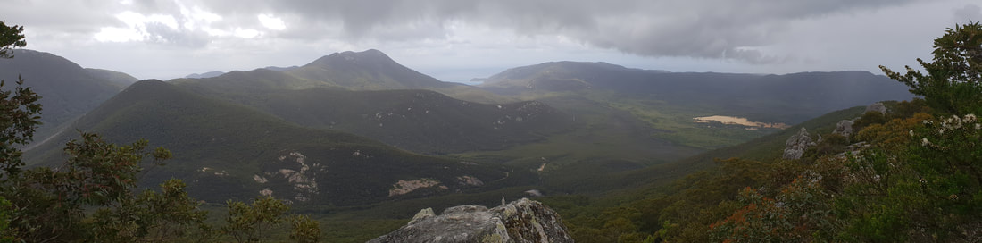
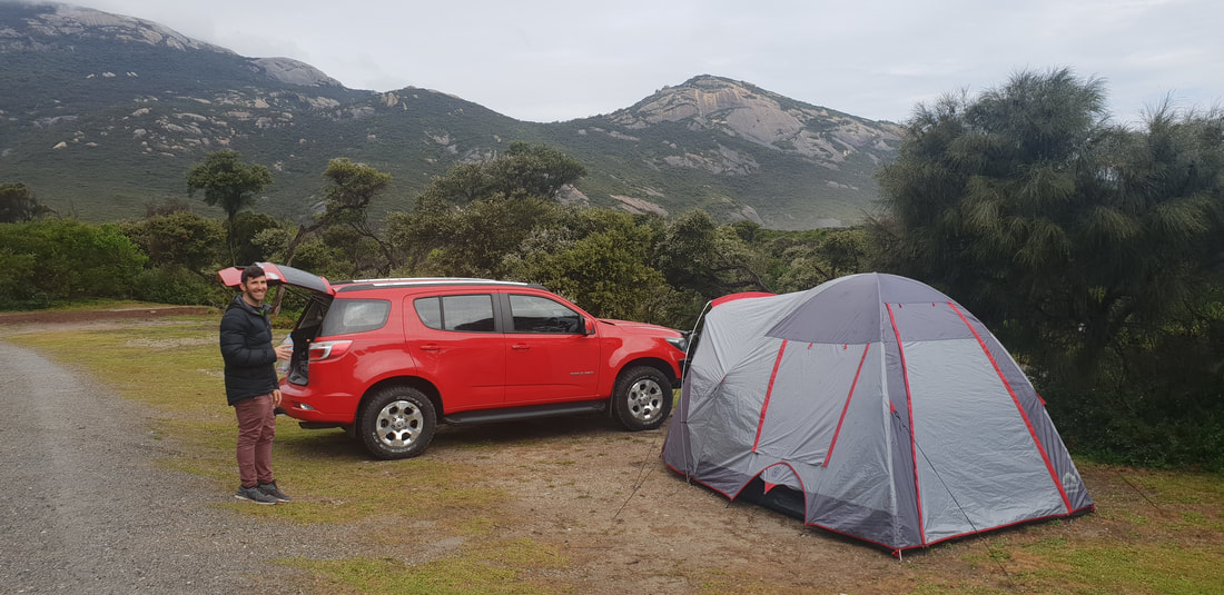
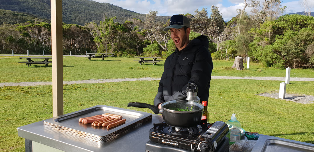
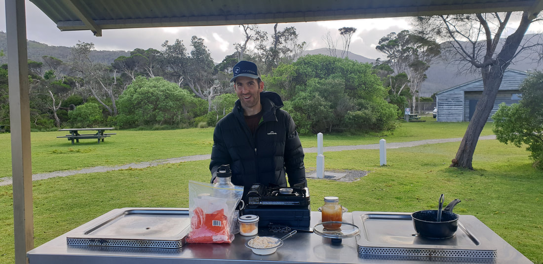
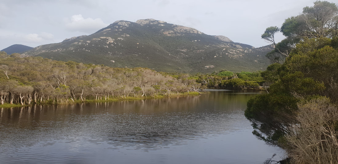
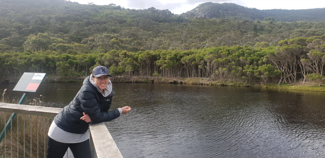
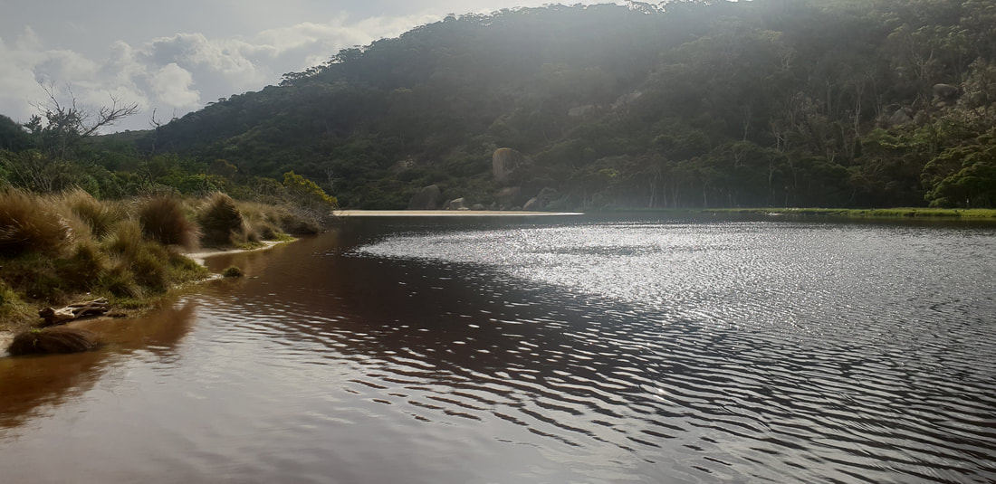
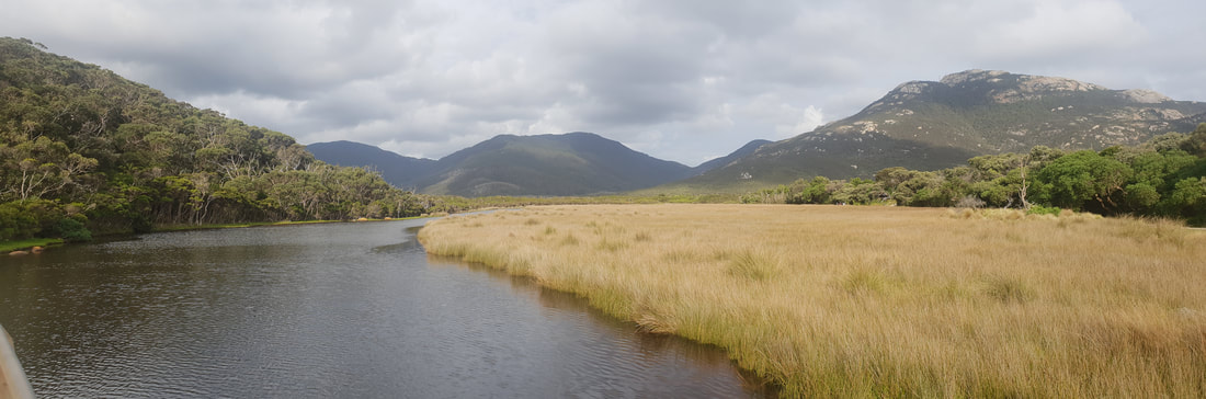
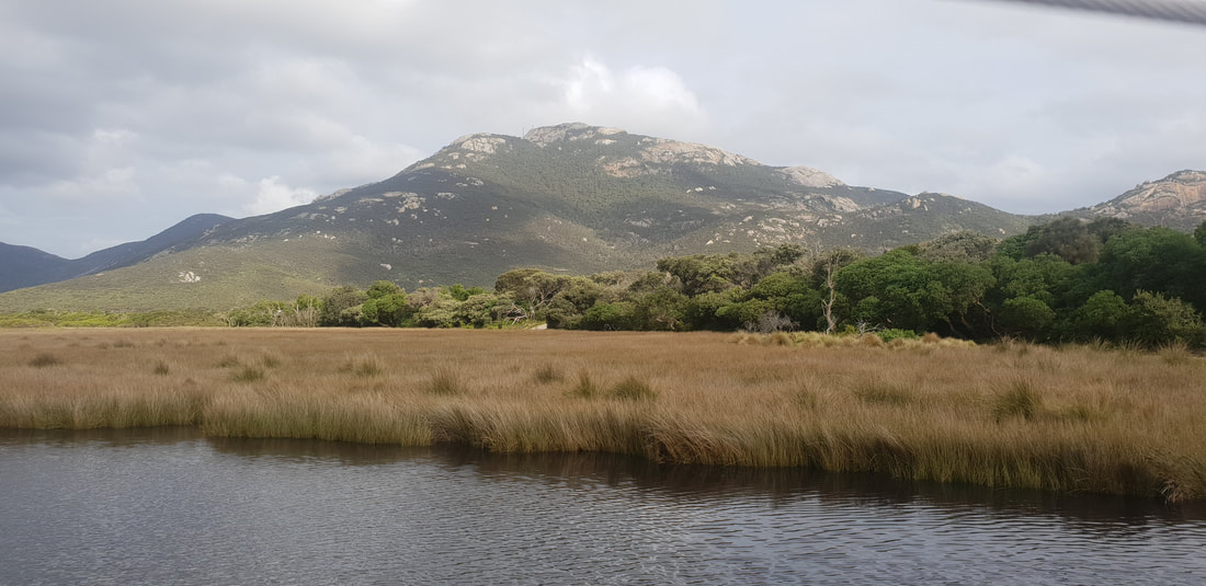
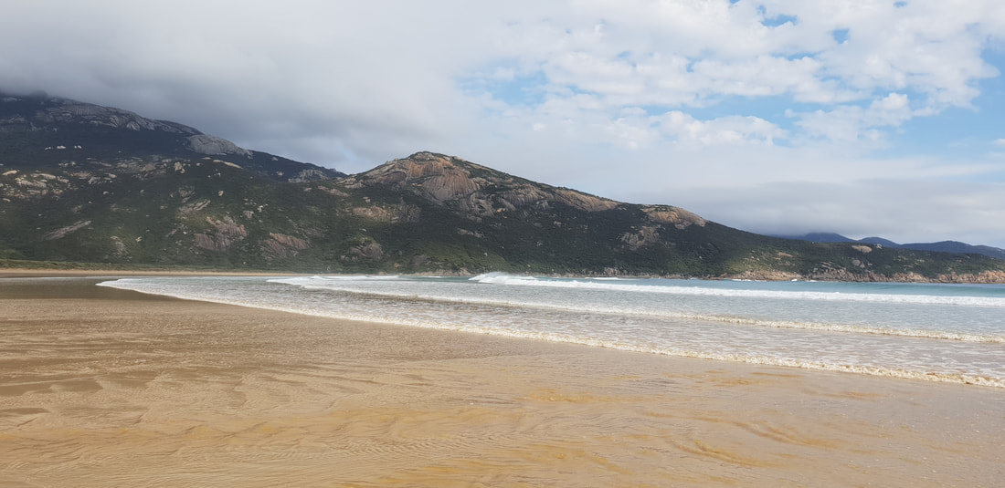
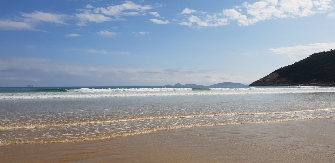
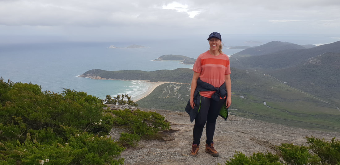
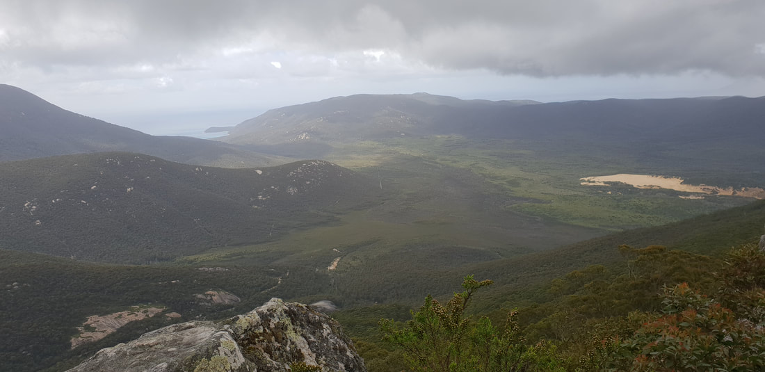
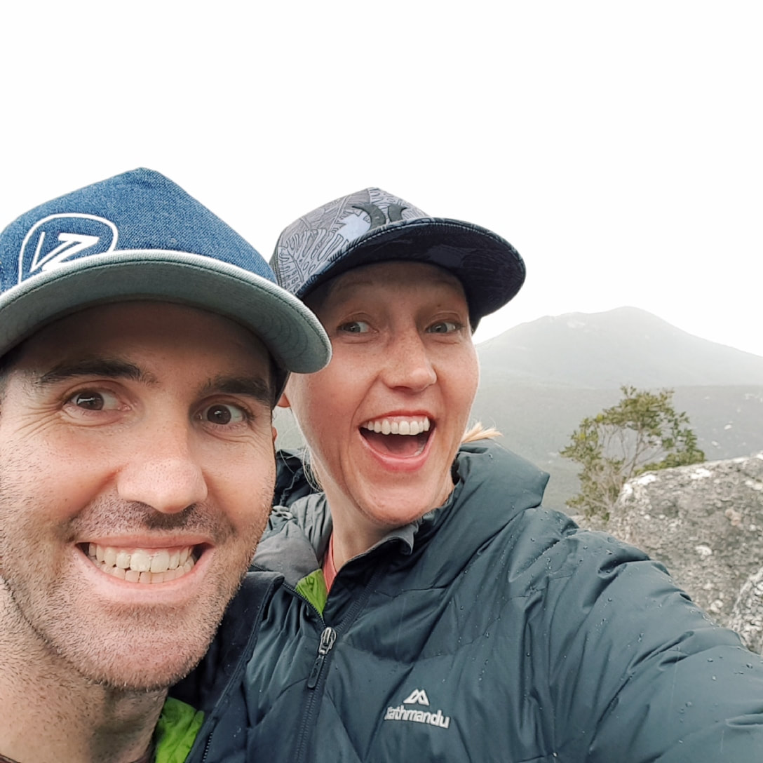
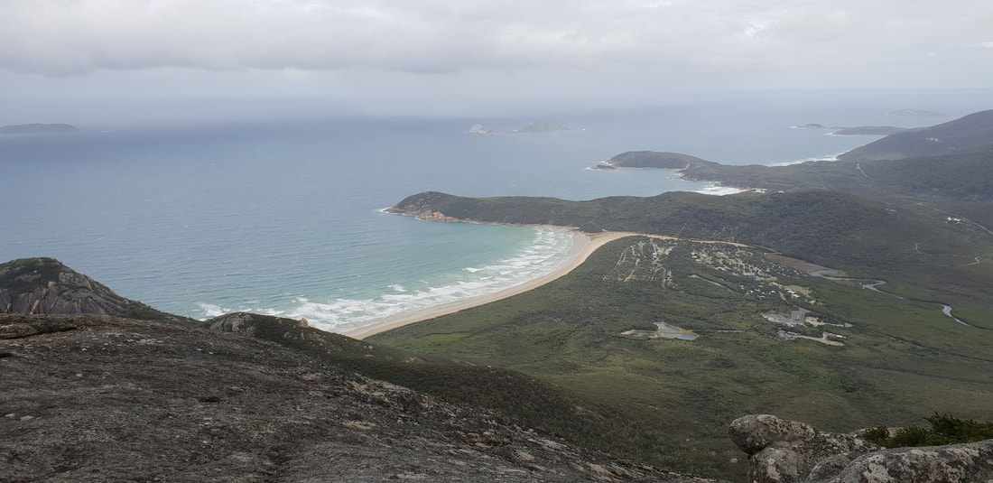
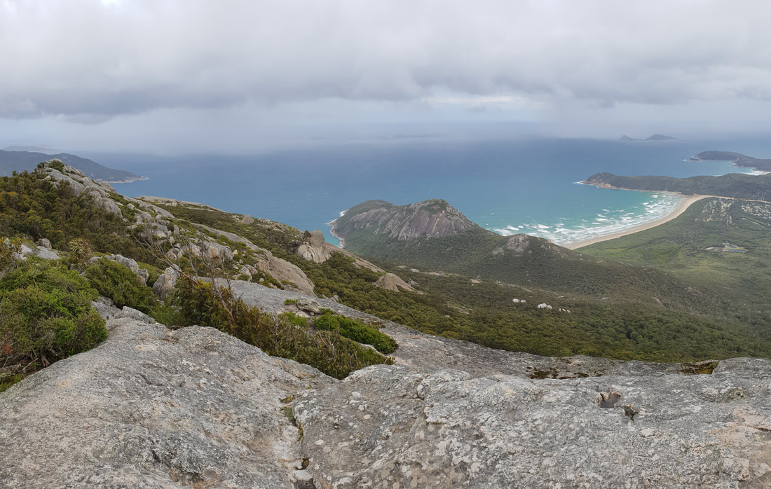
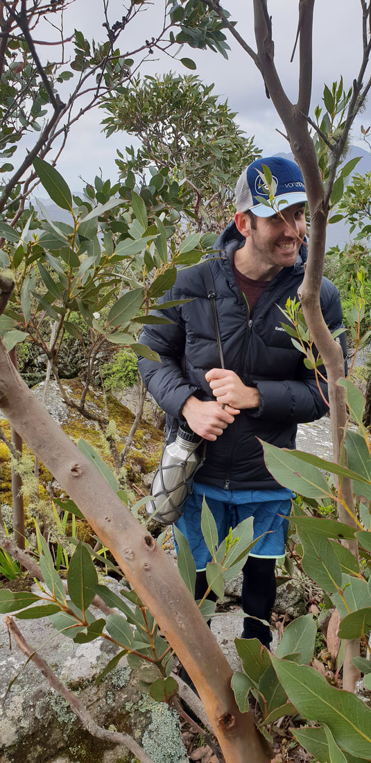
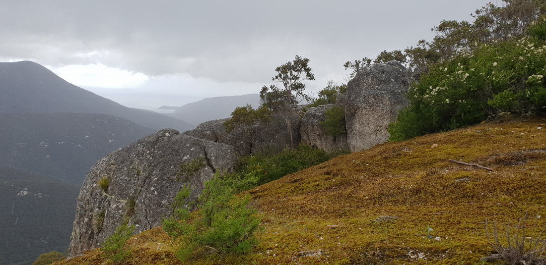
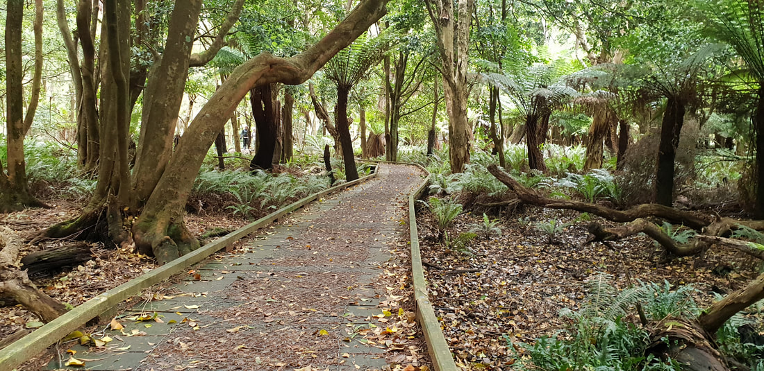
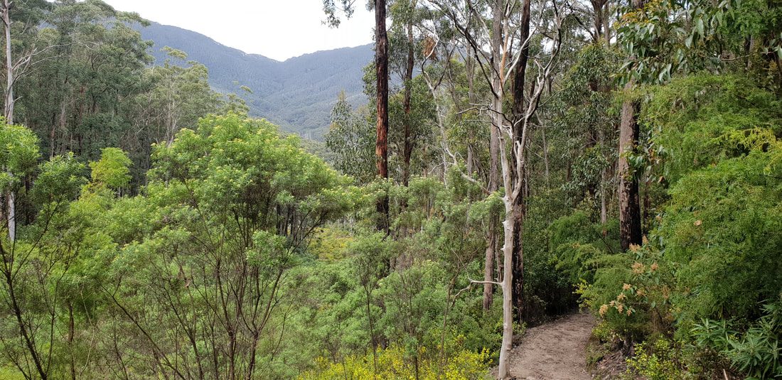
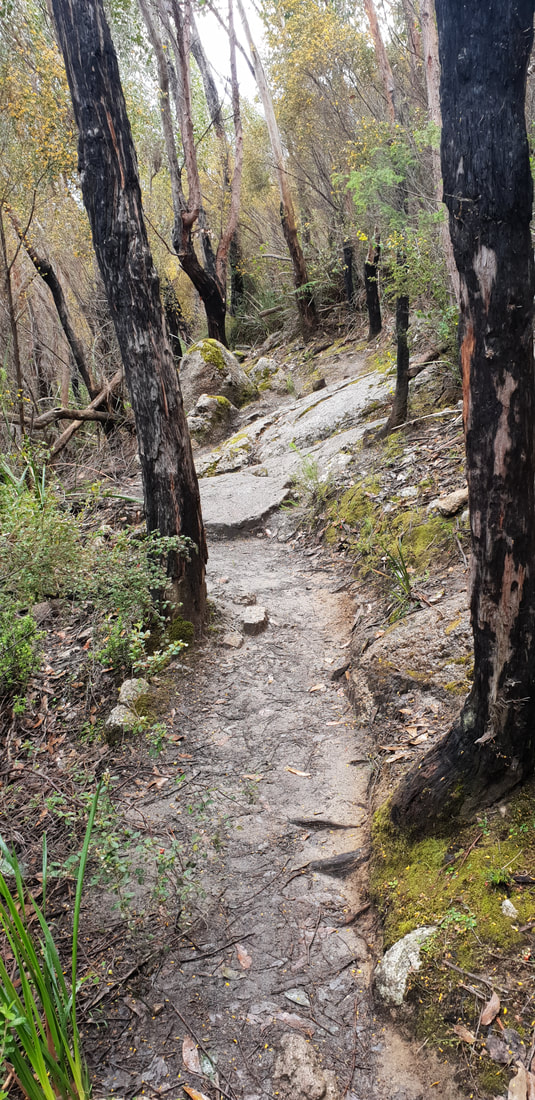
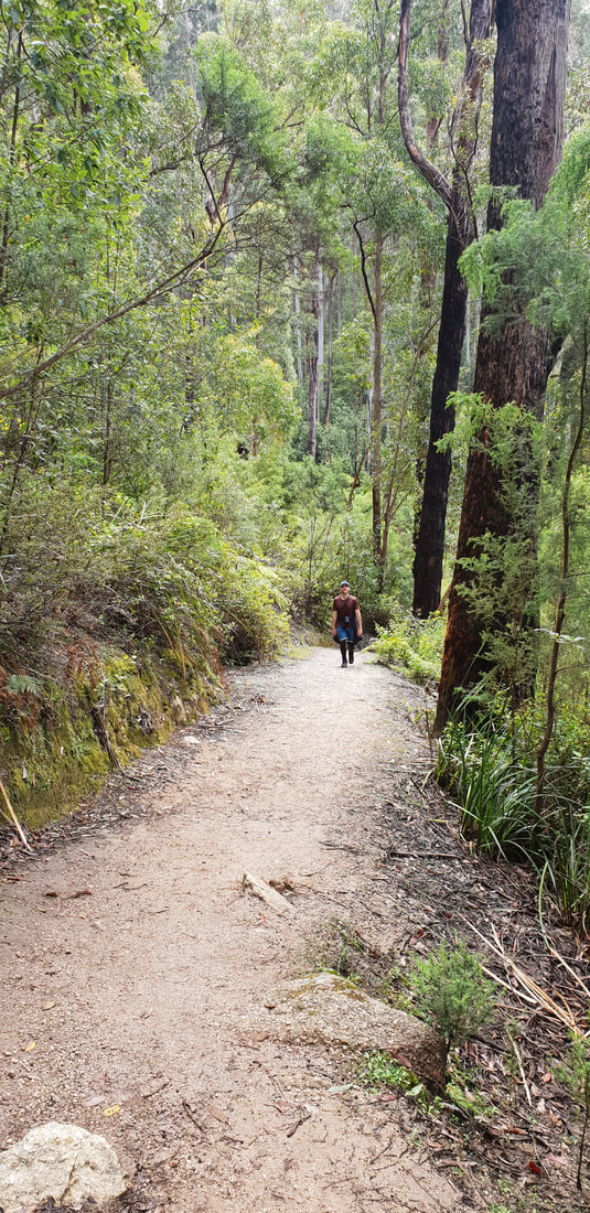
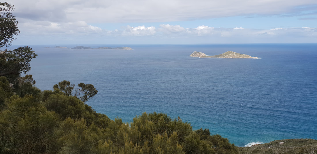
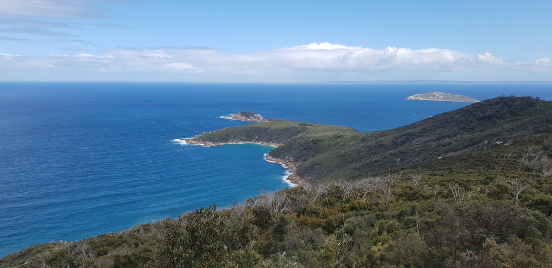
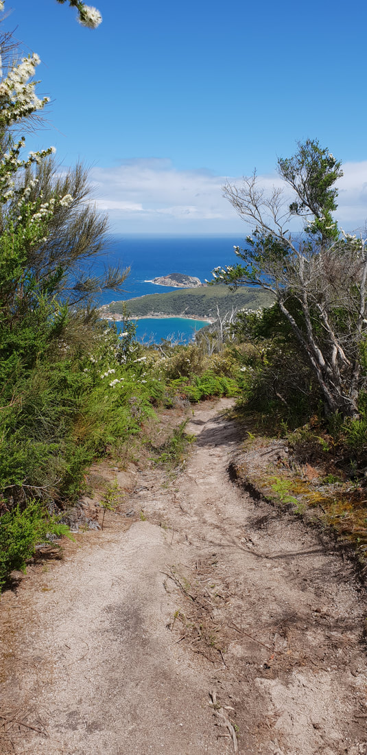
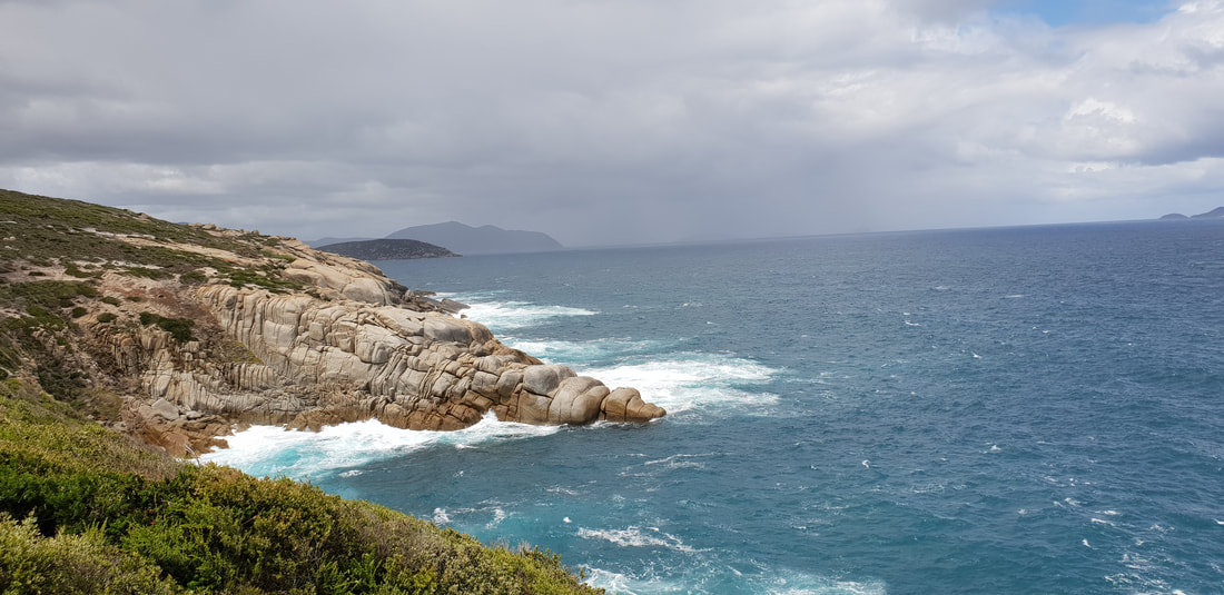
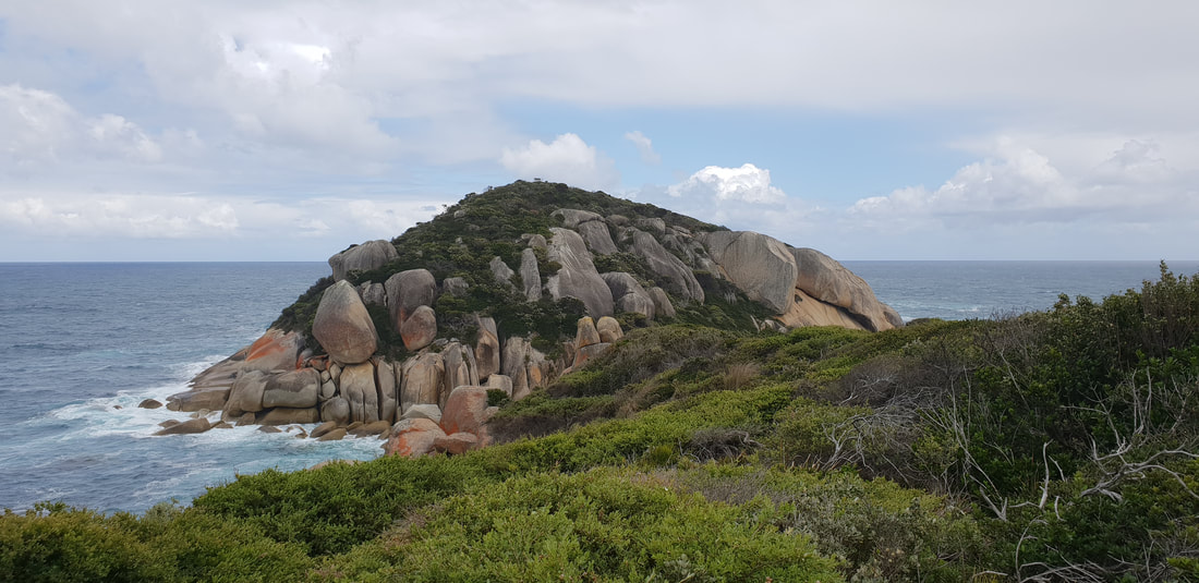
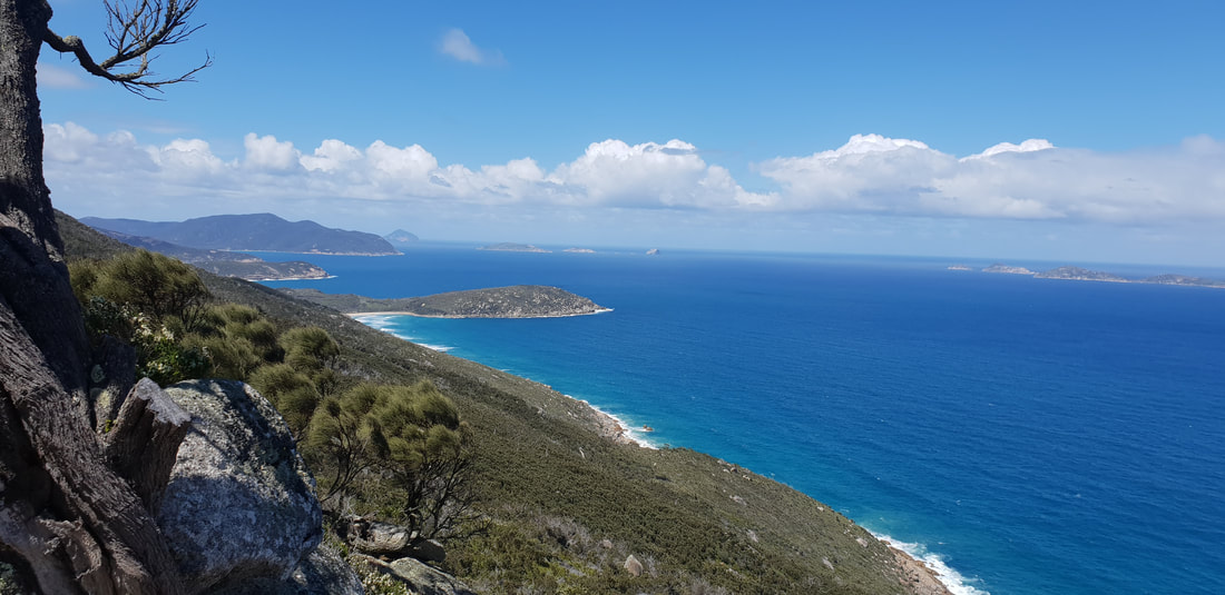
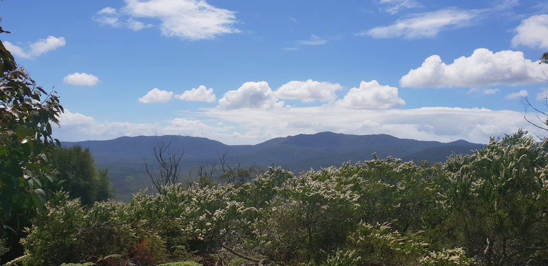
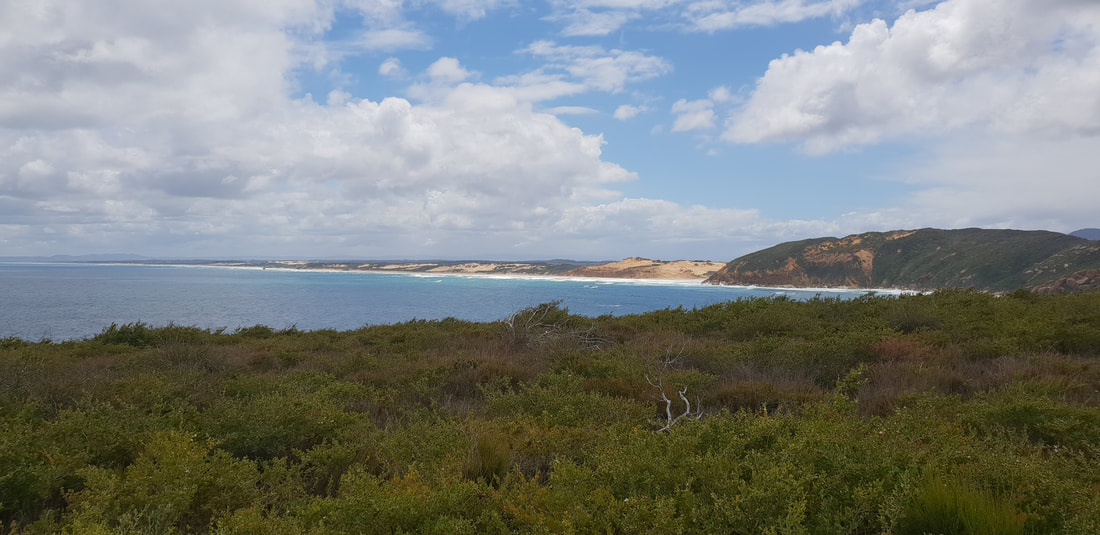
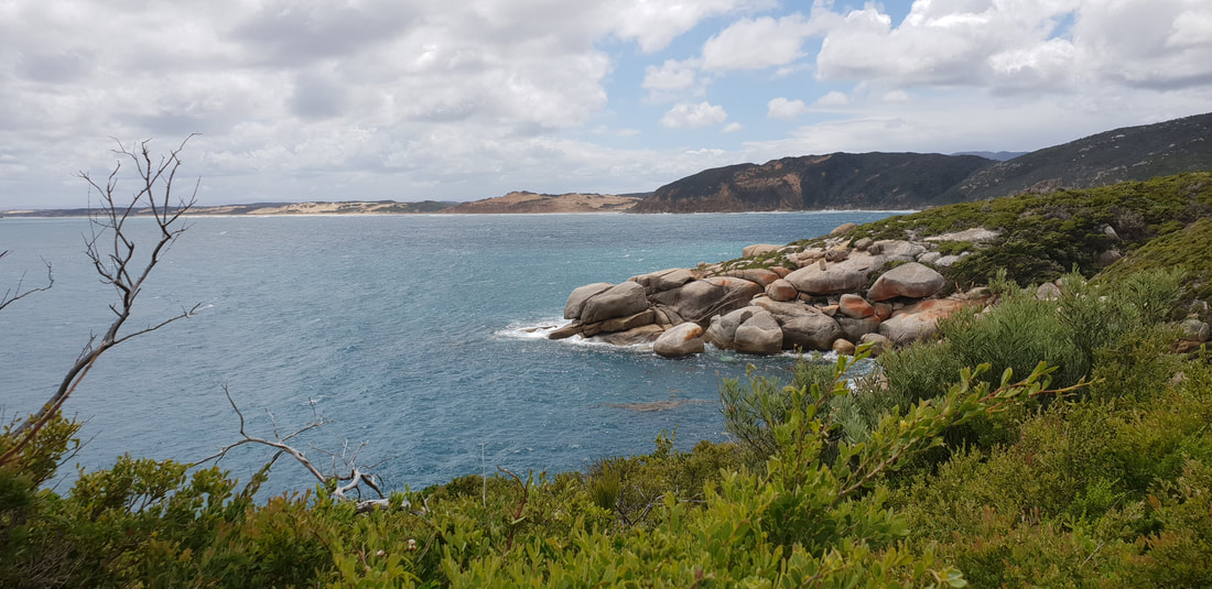
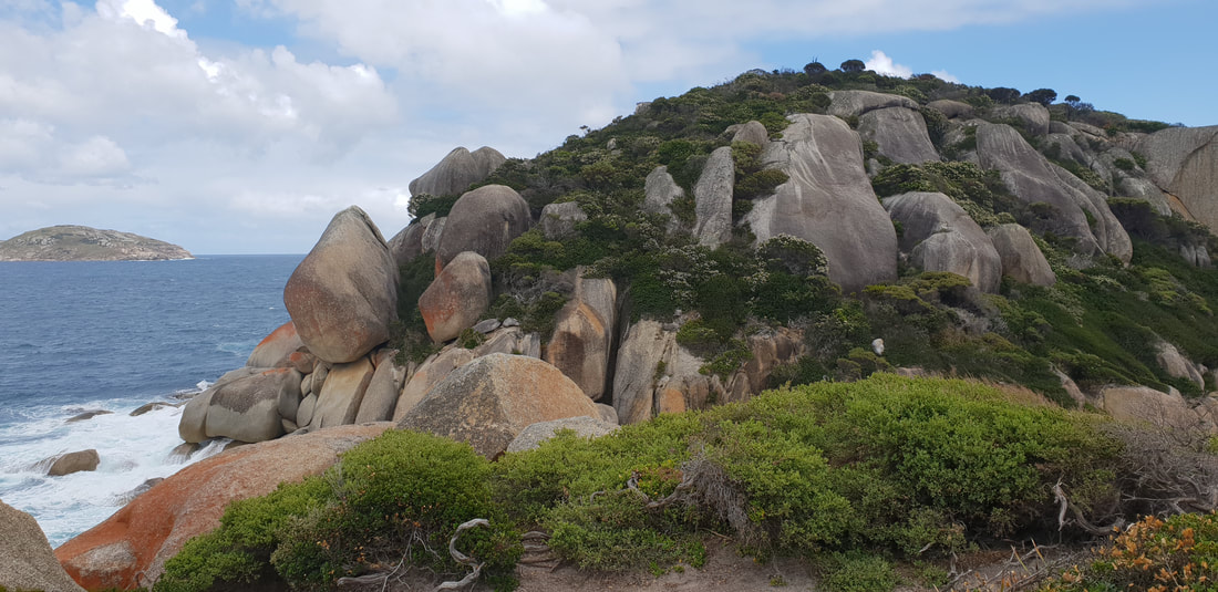
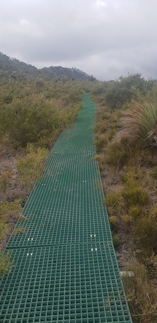
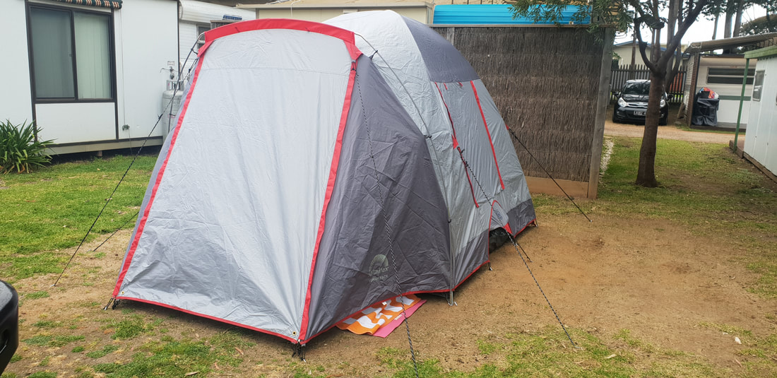
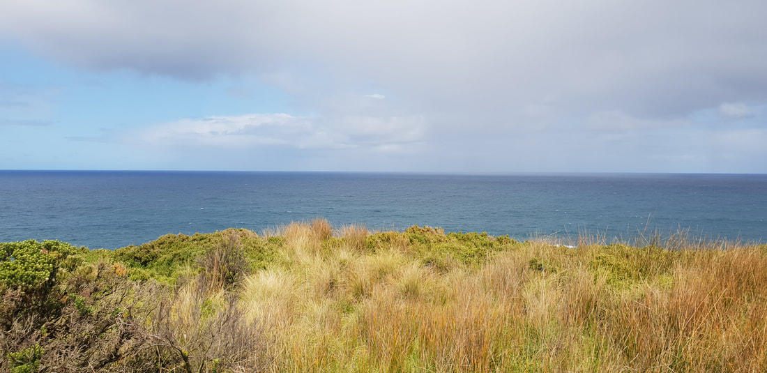
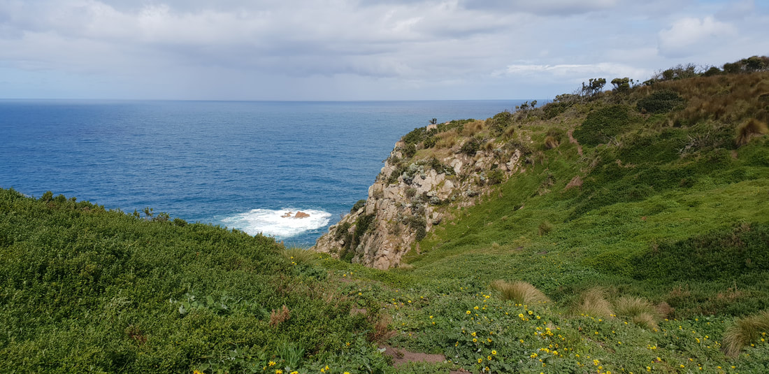
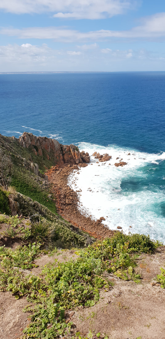
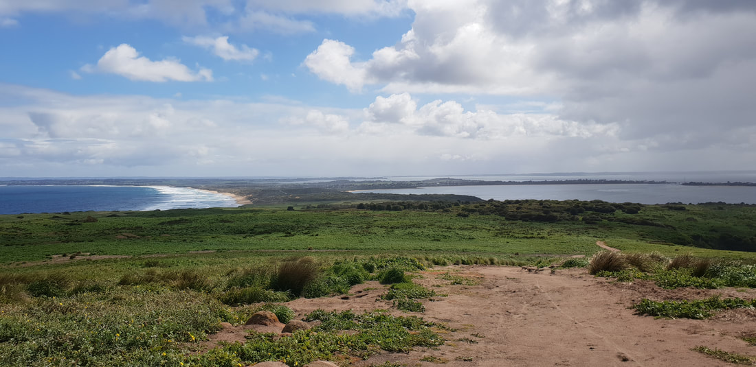
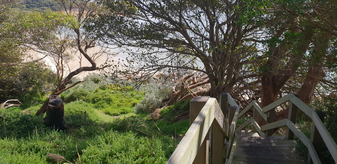
Tidal River Camp GroundCampsite 319 on 31st Avenue near the Hill Block Amenities: Our tent 'Rex' is an absolute beast, withstanding two consecutive days and nights being pummelled by 70 kph winds, inconsistent and heavy rain and scatterings of hail. Our nights were sleepless as we laid awake watching 'Rex' literally sway, collapse and retract, as wind howled around us, but we "wouldn't be dead for quids" and had an amazing few days in this pristine rugged windswept paradise. George Bass sailed past the Promontory in 1798 and presumed upon spotting the mountainous peaks, he was passing an island. It was not until later in the year when he returned with Matthew Flinders he realised what he had thought was an island was actually a promontory, a mass of protruding land connected to the mainland. Although originally named, Furneaux Land by Bass, it was renamed, Wilson's Promontory after a friend of Matthew Flinders, Thomas Wilson, a London based merchant who traded with the new colony of New South Wales. During this time the Nautilus a sealing vessel moved in on the area, it is believed culling over 9,000 seals for their fur. After this expedition the seal industry took off in the region going strong between 1800 and 1830, when declining and unsustainable seal numbers saw the demise of the industry. The whaling industry also went gangbusters in the region in the early 1800's lasting up until 1847 when again declining numbers ground the industry to a halt. By the mid 1800's Wilson's Promontory was starting to become a tourist destination for botanists and anyone keen to experience the area's rich natural beauty. Two towns were proposed for the Promontory, one called, Yanakie situated where the Promontory connects with the mainland and one called, Seaforth at Freshwater Cove. Despite the land at Seaforth being surveyed and allotments sold in 1892 neither town actually developed, although a pub was built at Seaforth that operated for many years afterwards and Yanakie has in more recent times been developed. Tin was discovered in the 1870's, but it was not until 1915 during WWI that a tin mine was constructed, operating until 1936 when the ore ran out. In 1905 Wilson's Promontory was awarded National Park status, but was closed to the public from 1941 to 1946 during WWII for use as training ground for the Australian and New Zealand armies.
  Norman Beach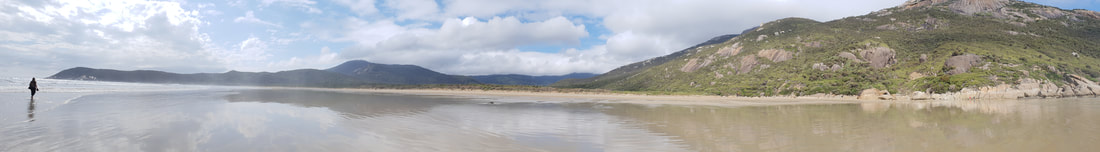
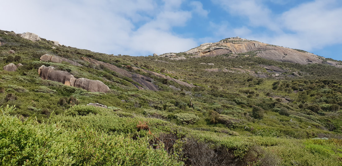
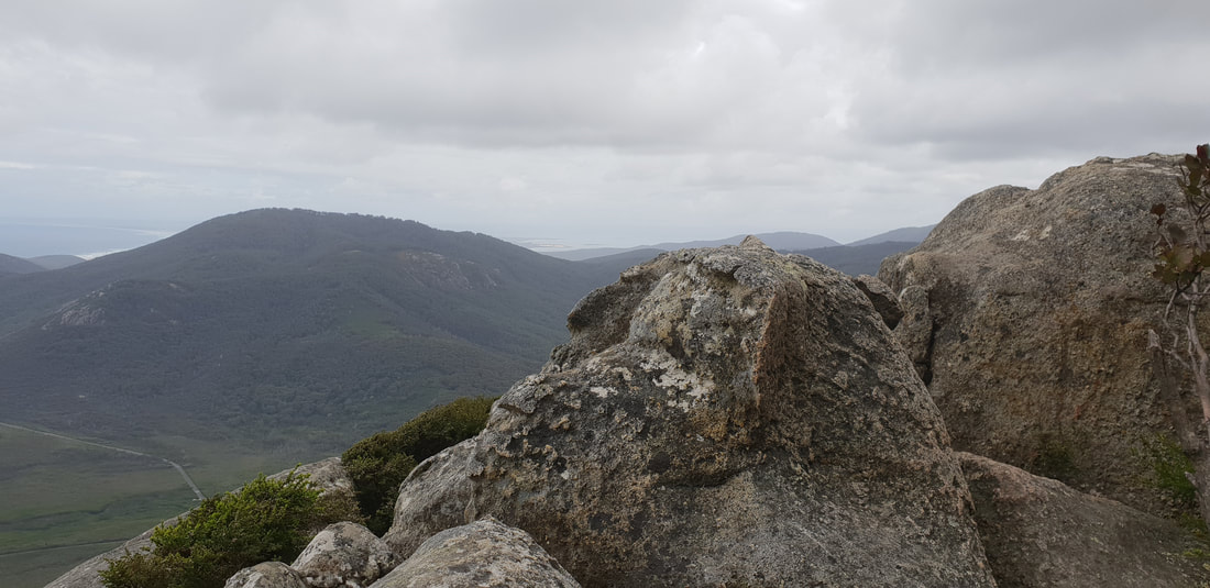
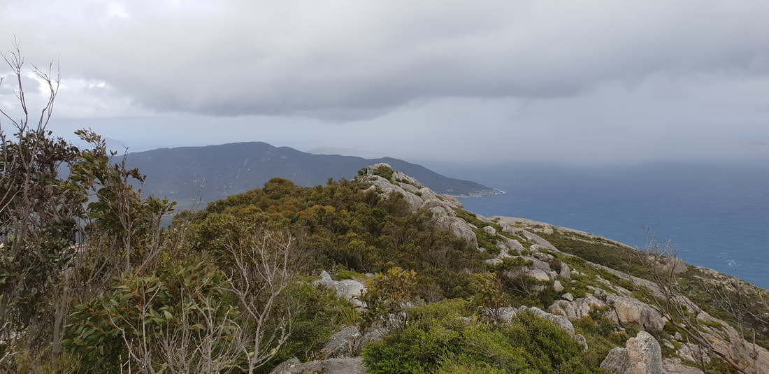
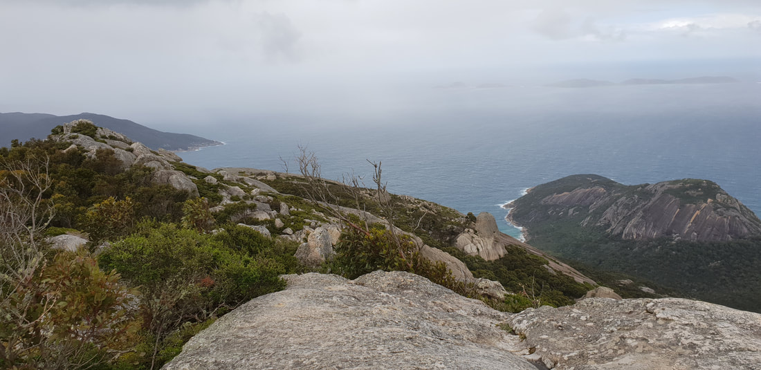
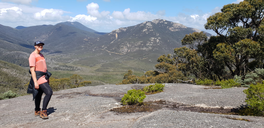
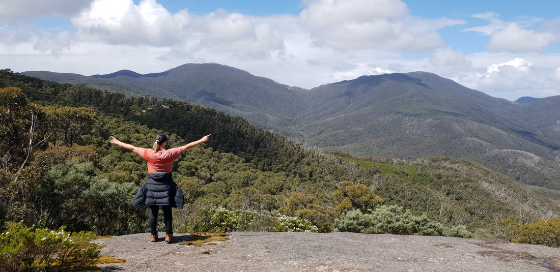
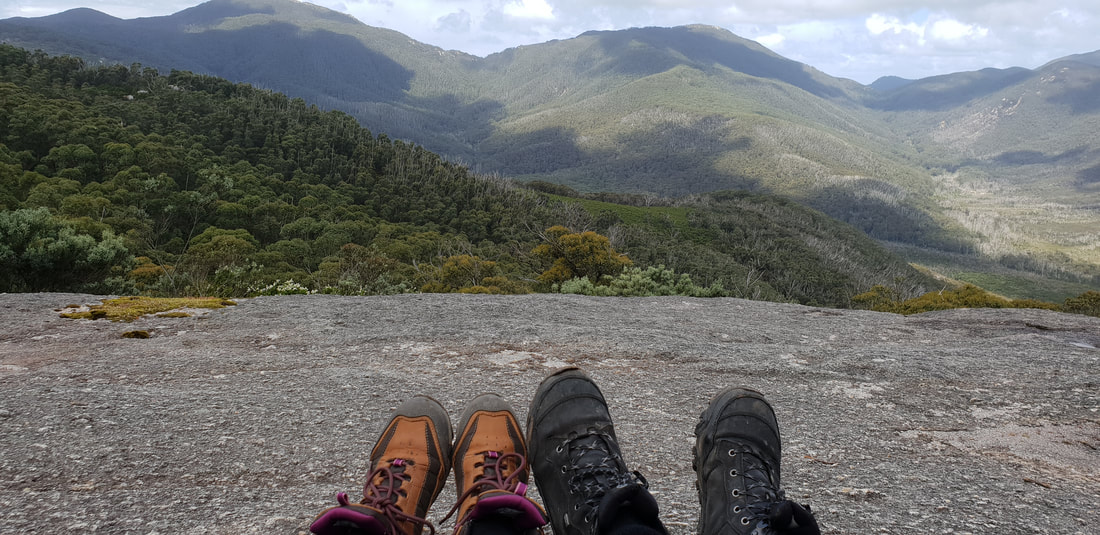
Mt. Oberon Summit Walk, 6.8kms return
Mt. Bishop Summit Track & Lilly Pilly Circuit, approx. 10kms return, through stringy-bark forest
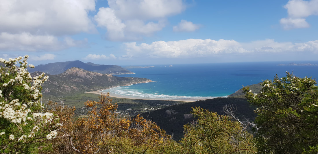
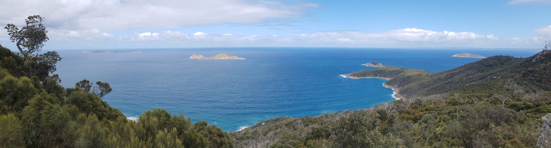
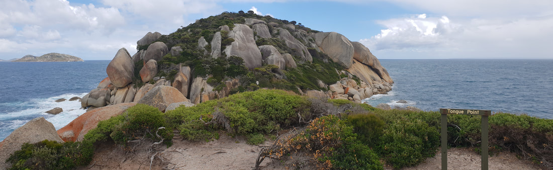
Tongue Point from Darby Saddle, past Sparkes Lookout, 11.2kms return
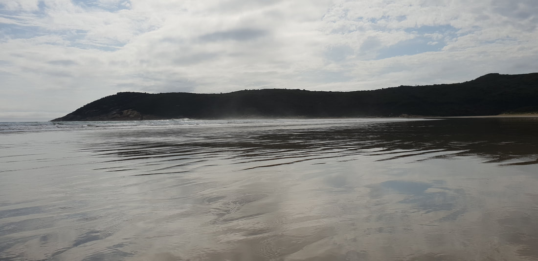
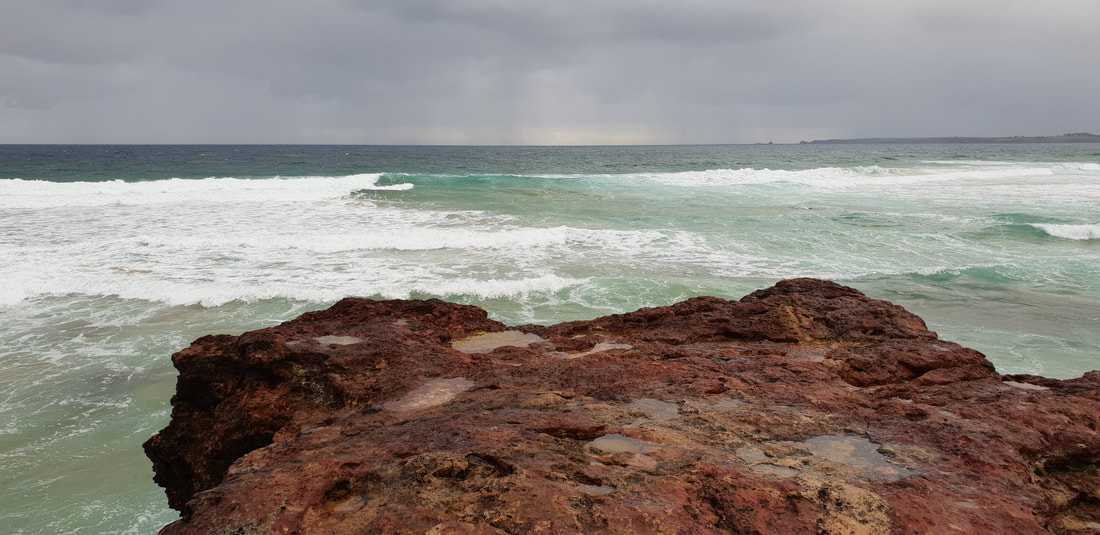
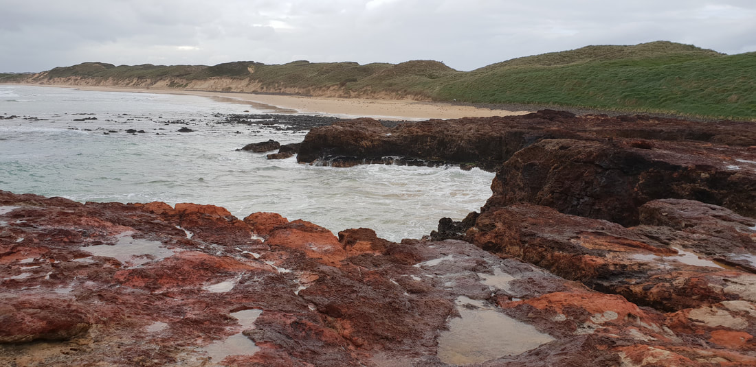
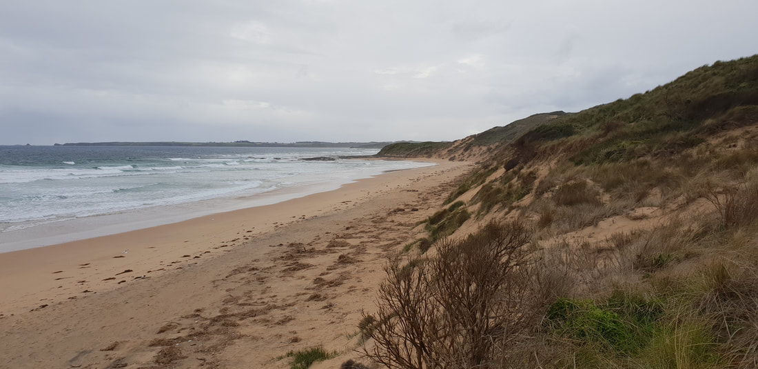
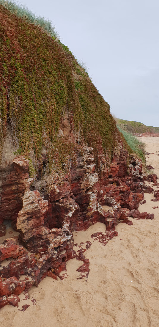
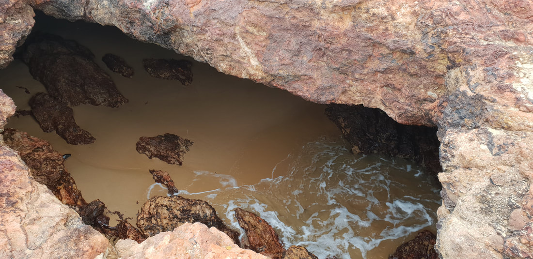
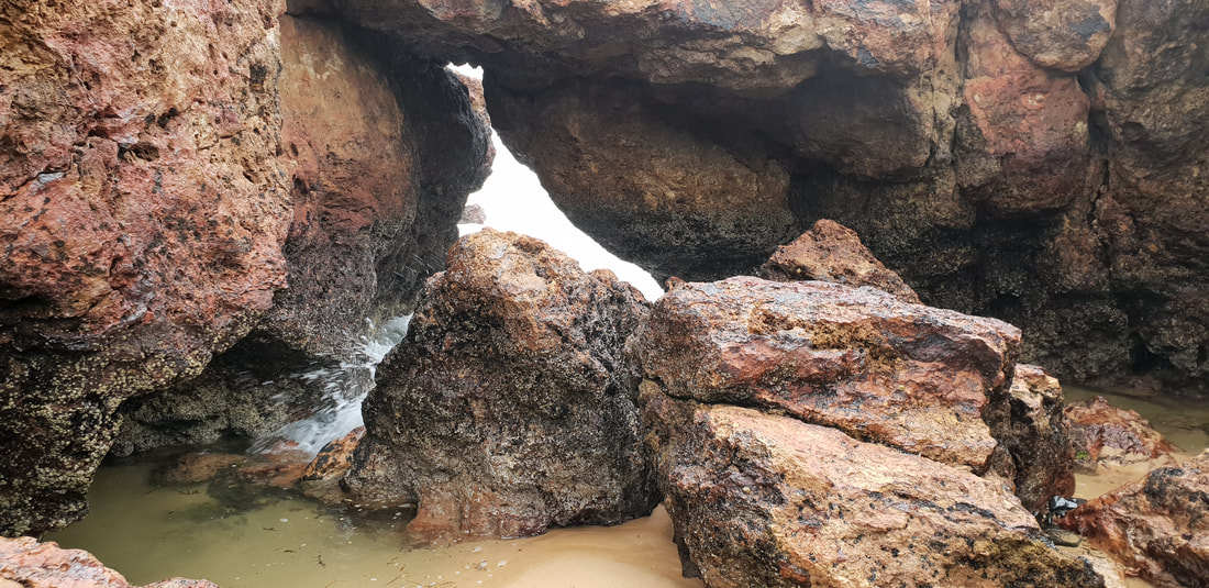
Our amazing tent, 'Rex' protected us from a blistering rain and windswept night. Forrest CavesA short beach stroll lead us to a mass of exploded volcanic red rock that has eroded over time to form sea caves. The caves were inaccessible due to the tide, but the rock formations and colour contrasts were worth battling the wind, rain, oh and not forgetting the hail...
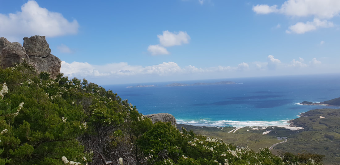
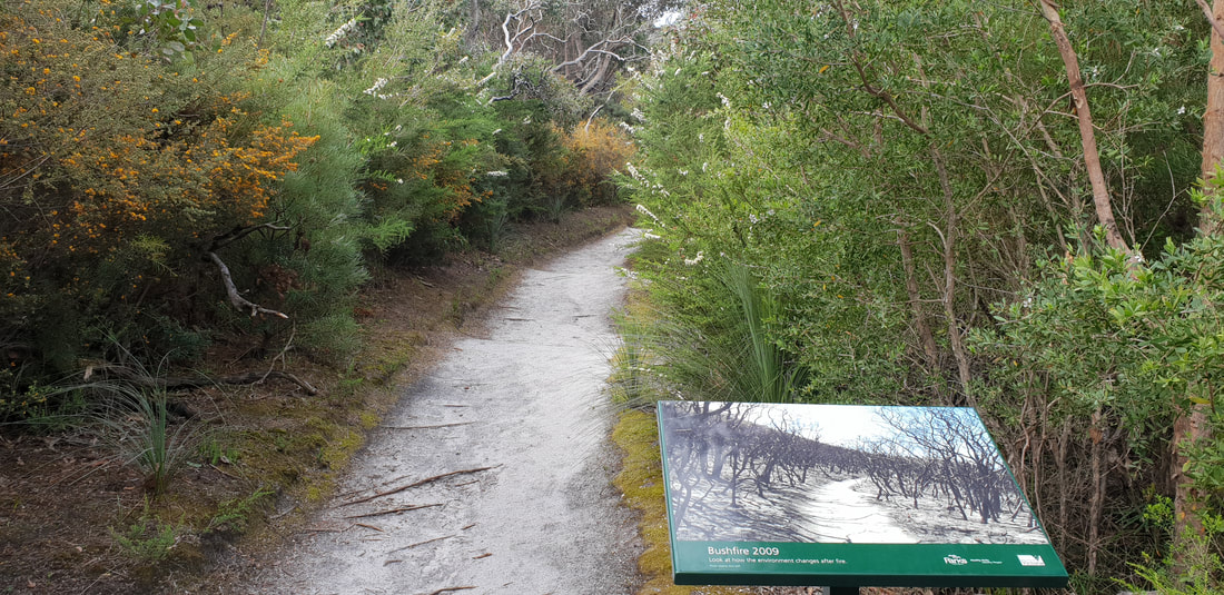
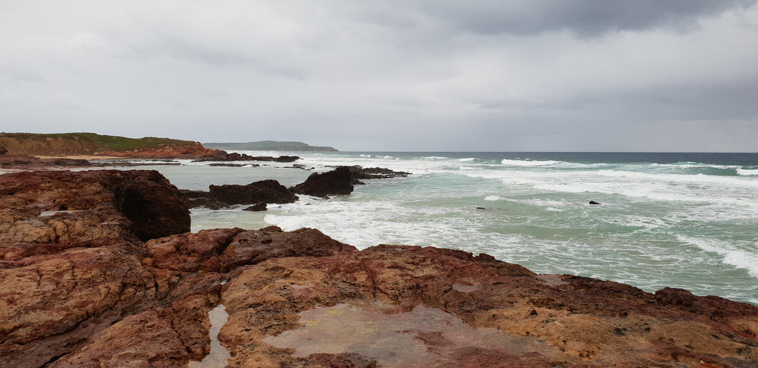
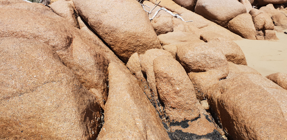
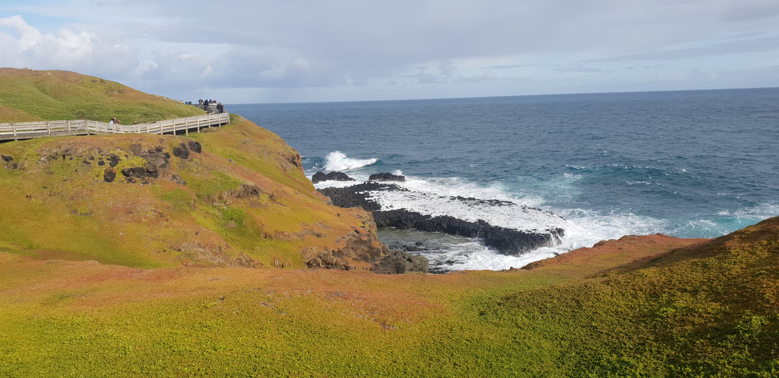
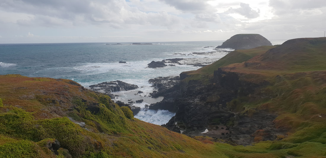
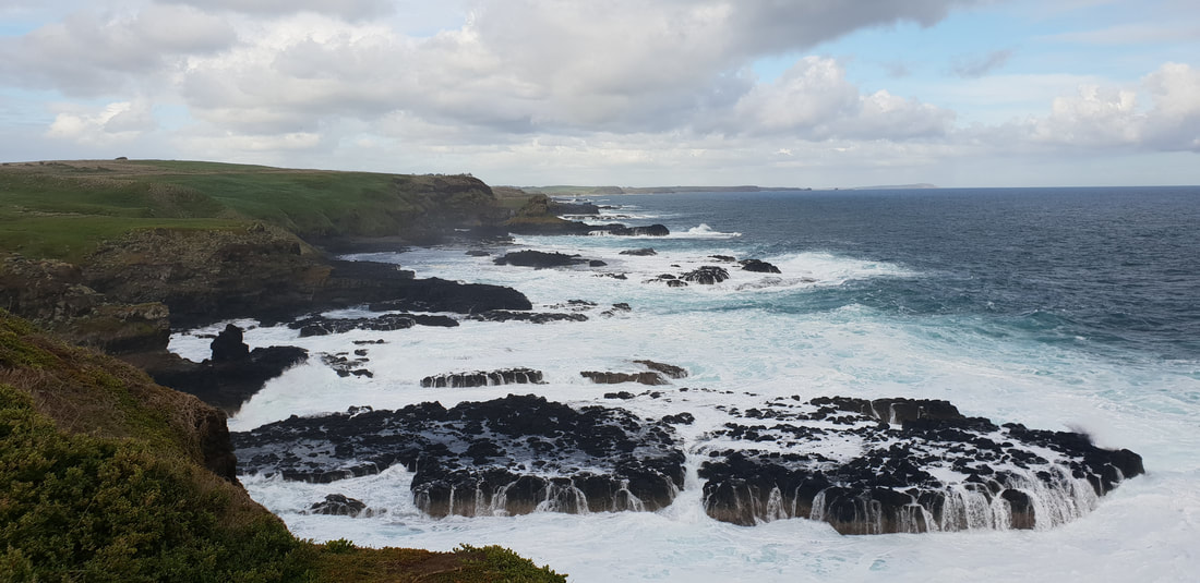
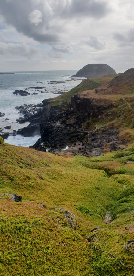
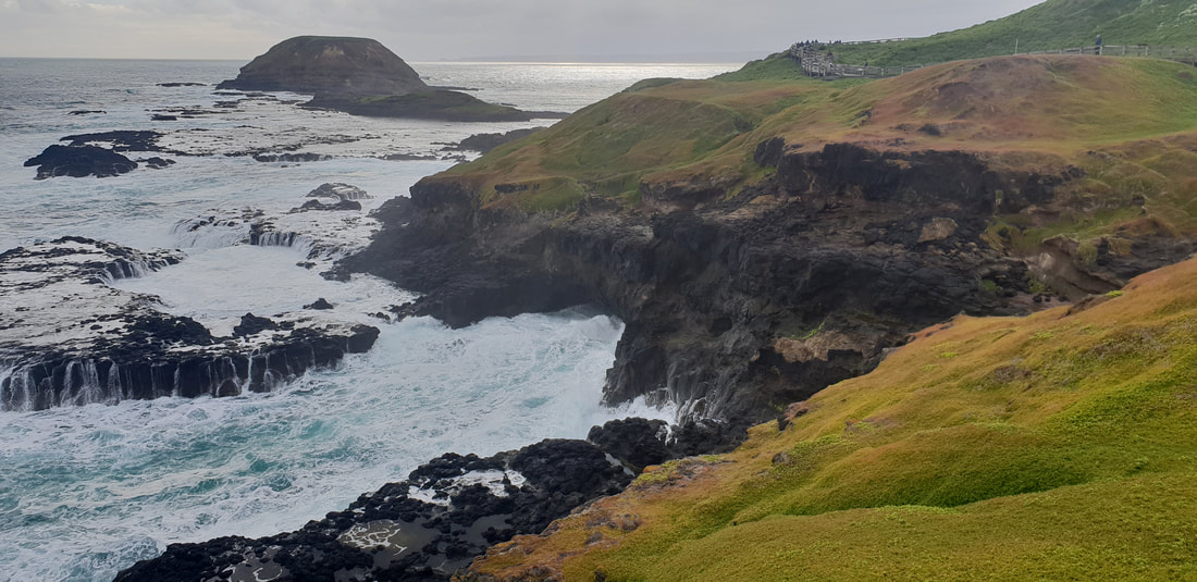
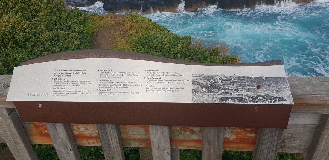
Cape Woolamai WalkThis 8 kilometre walk lead us on an adventure around Cape Woolamai that was referred to looking like a 'Snapper's Head' in a journal by George Bass in 1798 and is the highest point on Phillip Island. The circuit took us to various points of interest along the way including 'the pinnacles' and 'the beacon.' The coastline, folding outwards to Bass Strait is absolutely stunning, with rugged cliff edges blanketed in a dense rich-green ground covering, perfect for the Short-Tailed Shearwater migration birds that inhabit the Island from October to April each year. The walk continued to an old pink granite quarry that ceased operating in 1898. Remnants of mining activity are still visible. Boulders that remain on the beach, which looks across to San Remo contain feather and wedge markings, the method used to remove the rock. When looked upon closely it is easy to see why this unique pink crystallised stone was a desired building material, but the shear enormity of its removable and the subsequent damage to natural surrounds would have resulted in the quarry's short life span of only 7 years.
Pyramid Rock
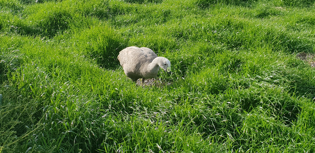
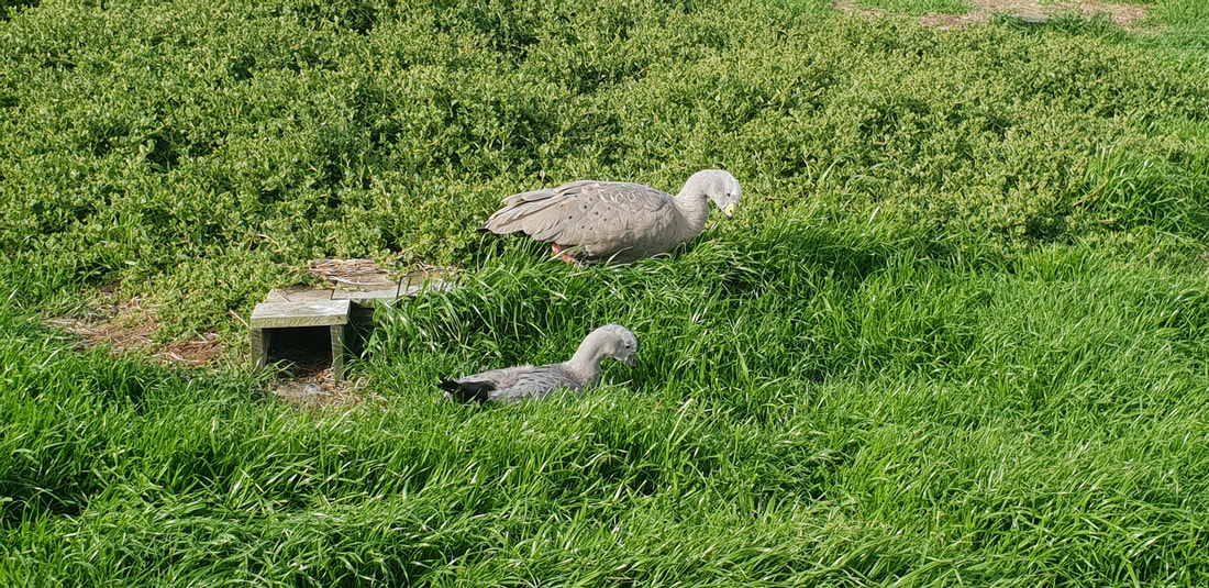
The NobbiesAt the western end of Phillip Island, The Nobbies offers specular views of seal rock and the blowhole. The boardwalk takes you on a journey over the rugged coast where Little Penguins and Cape Barren Goose nest.
The Little Penguins
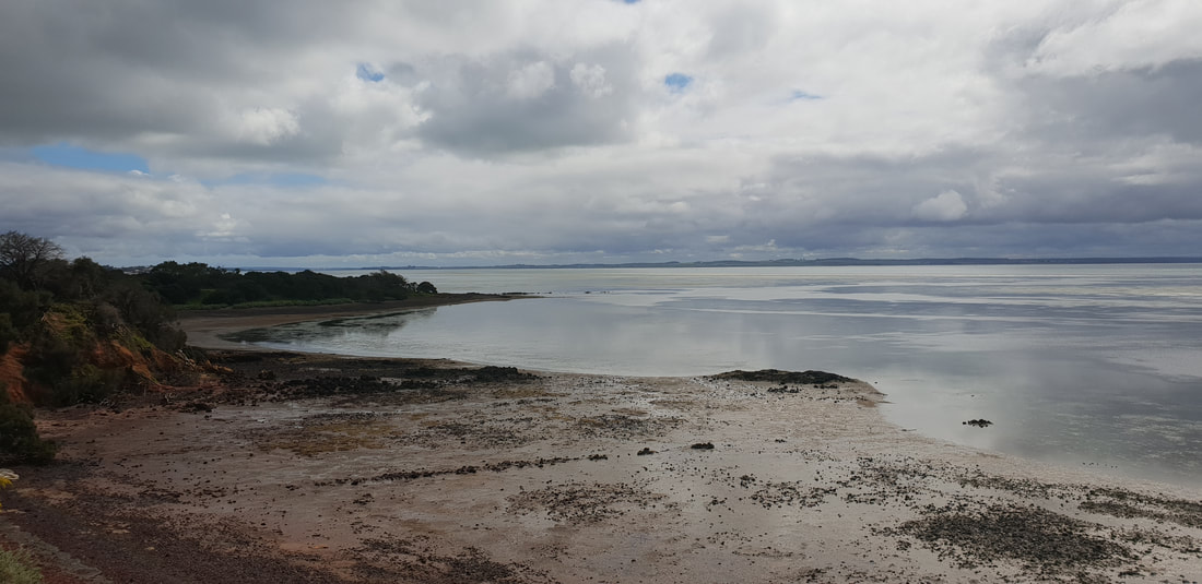
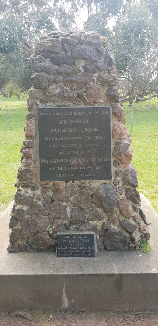
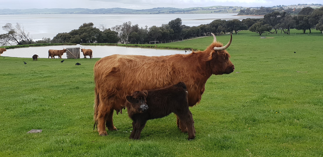
Churchill Island Walk
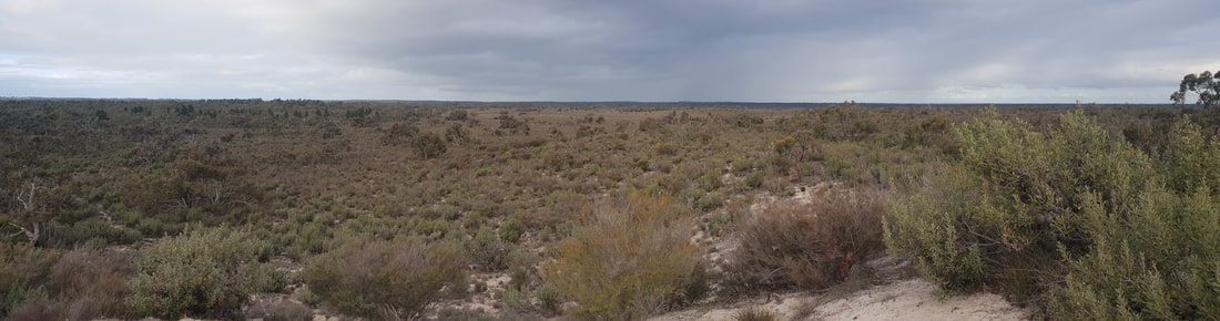
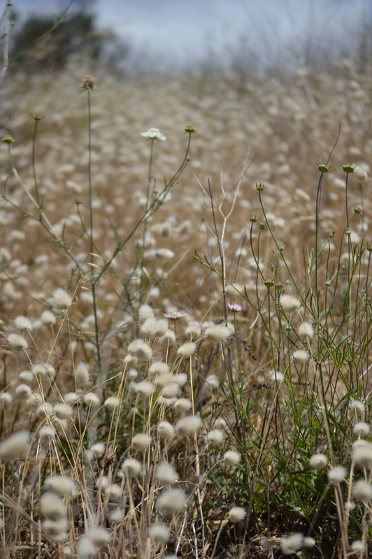
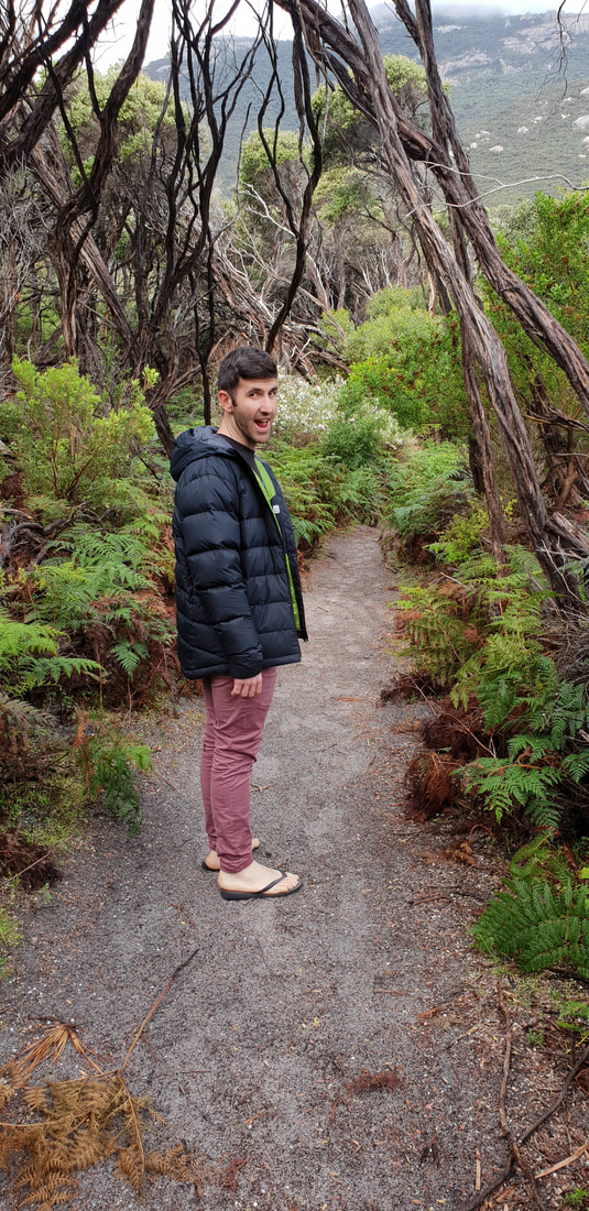
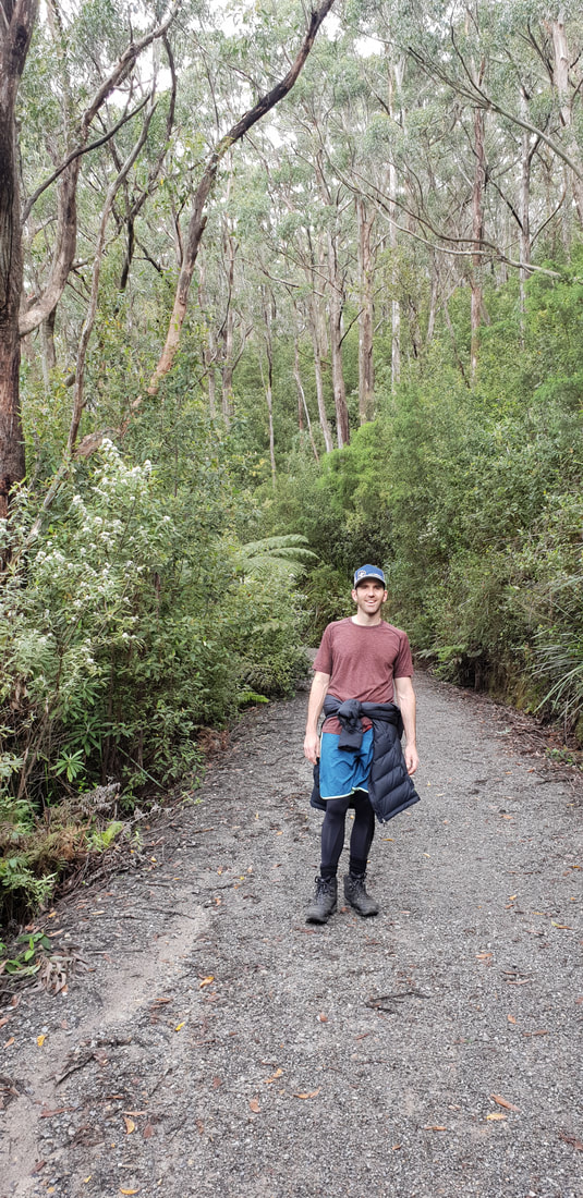
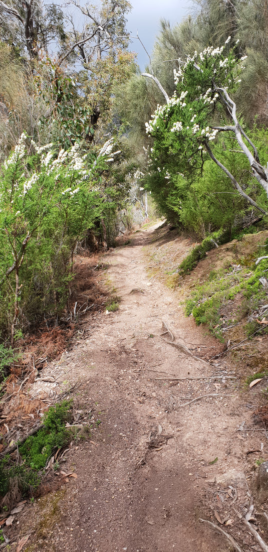
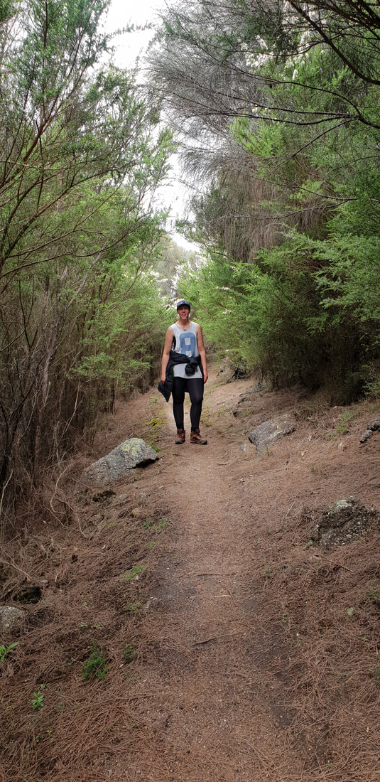
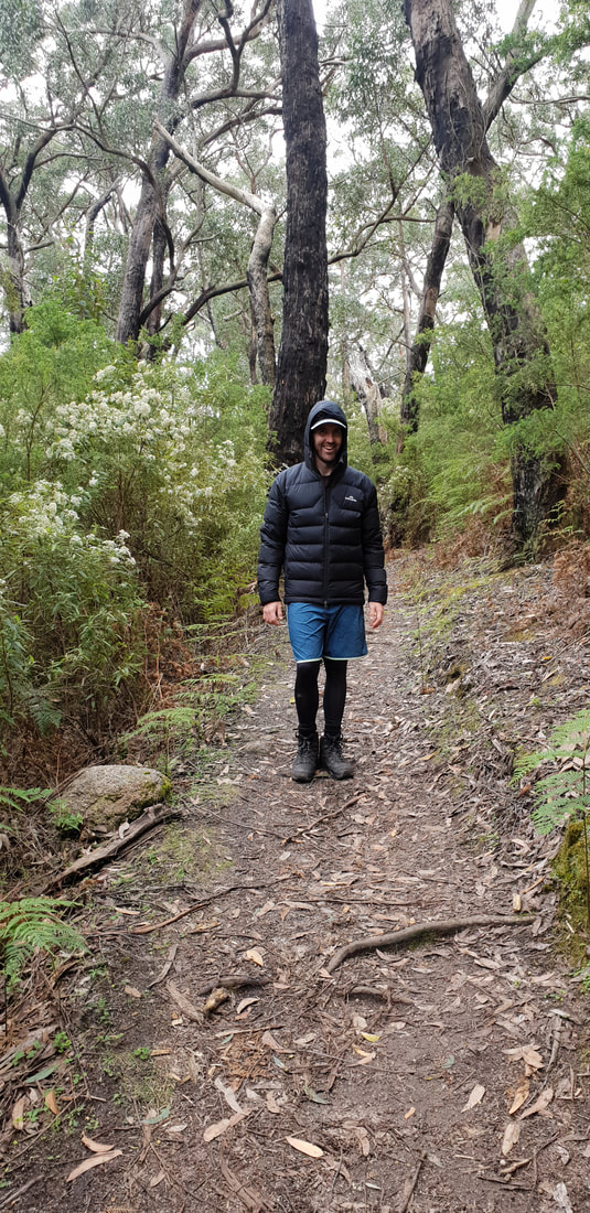
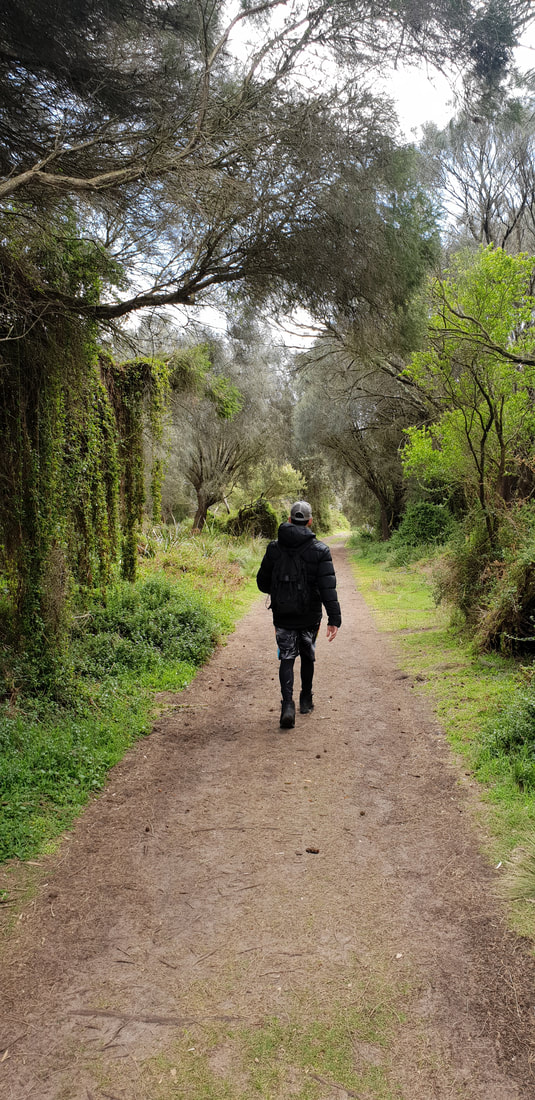
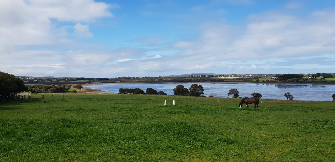
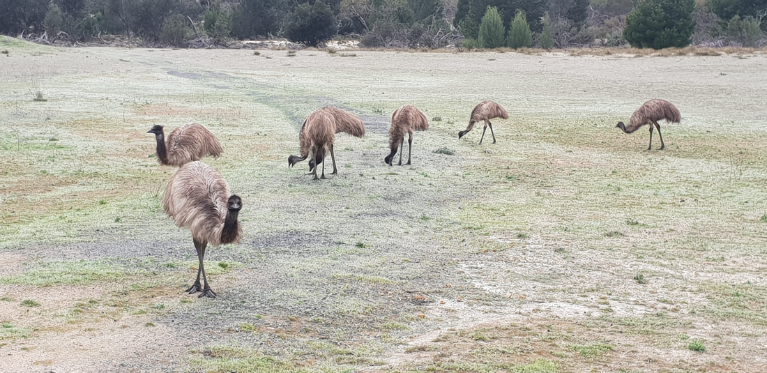
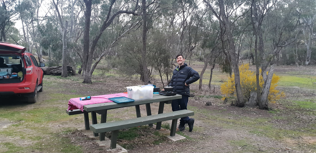
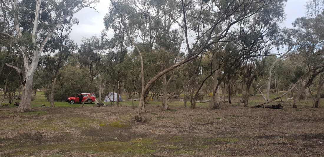
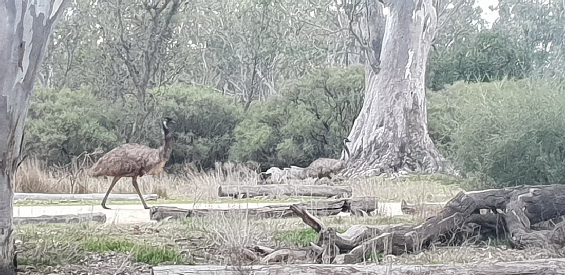
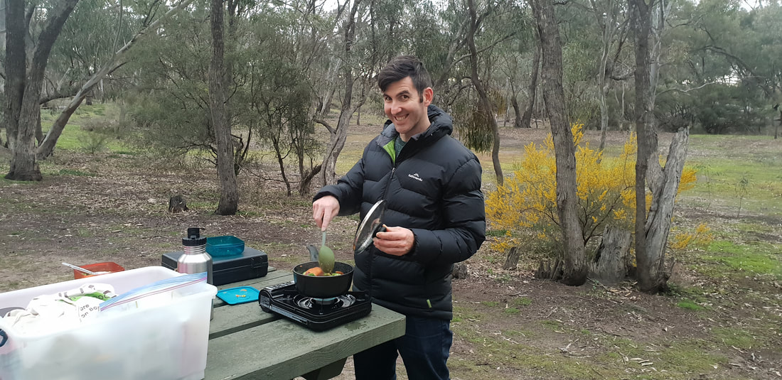
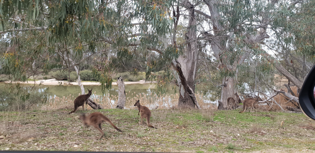
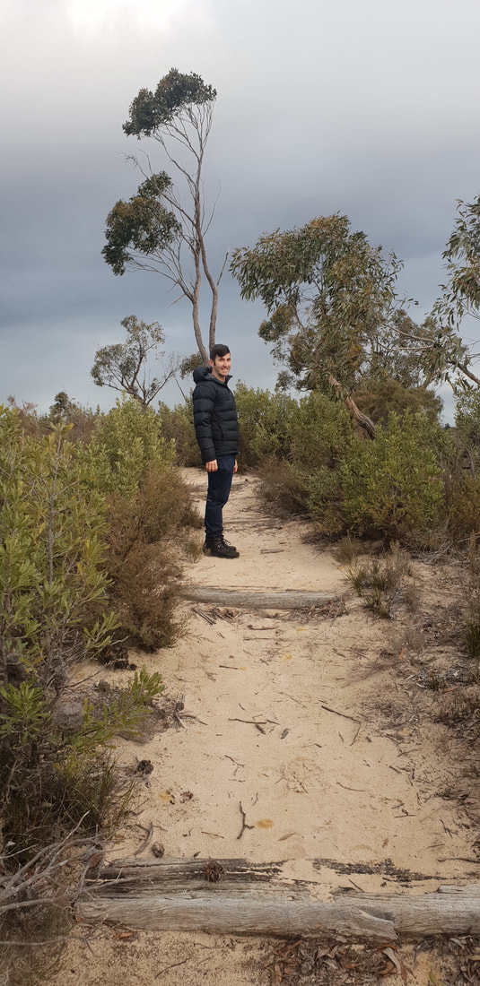
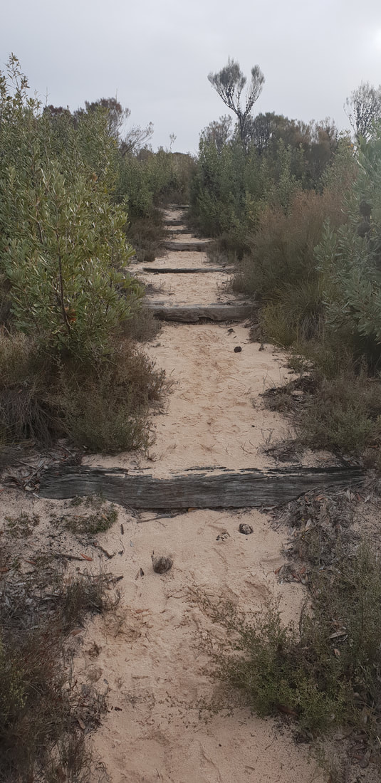
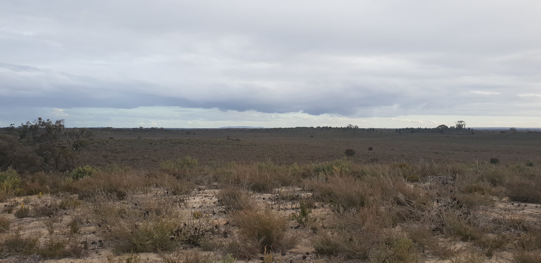
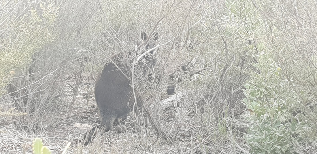
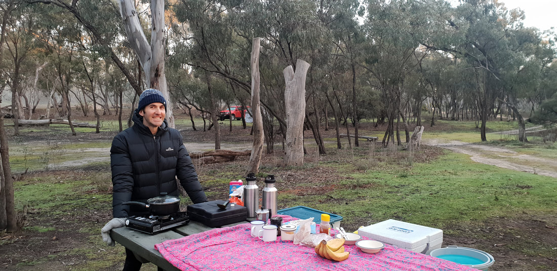
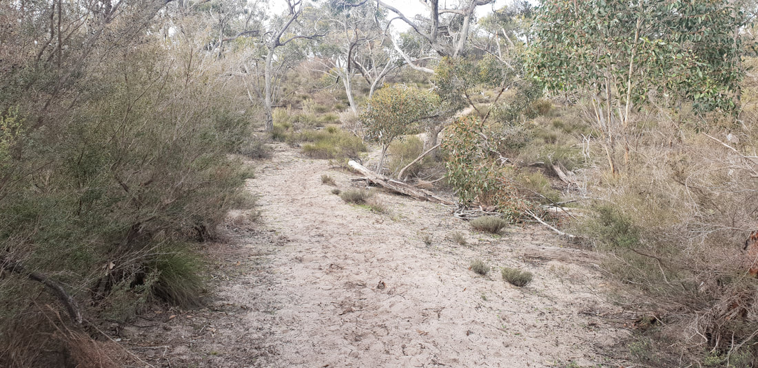
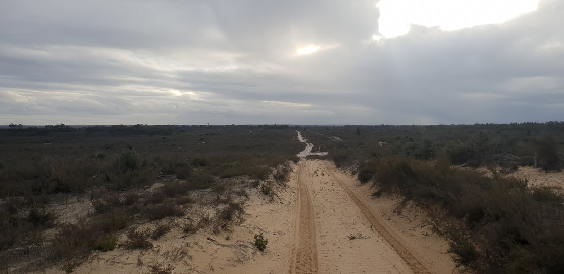
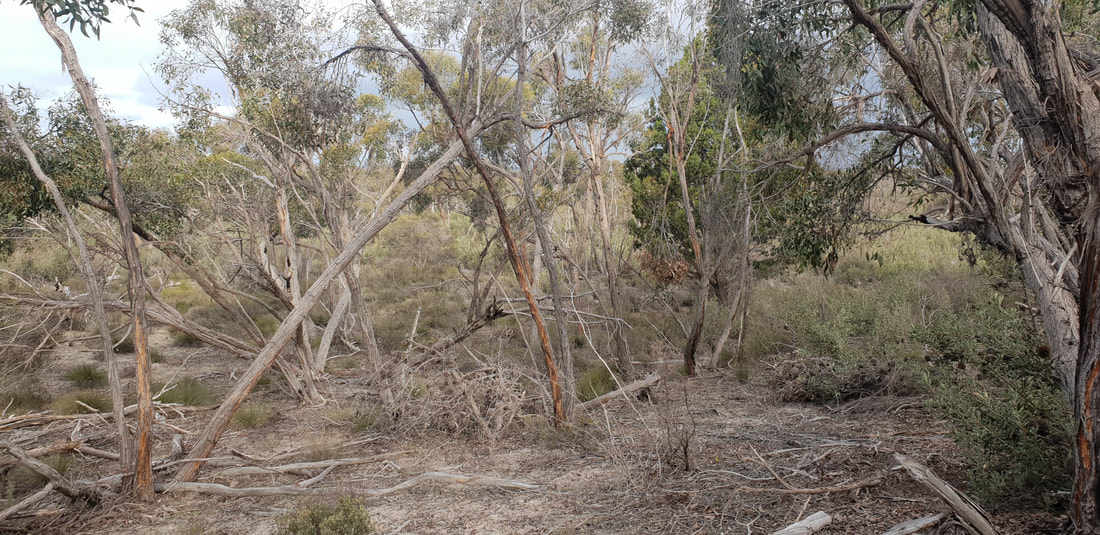
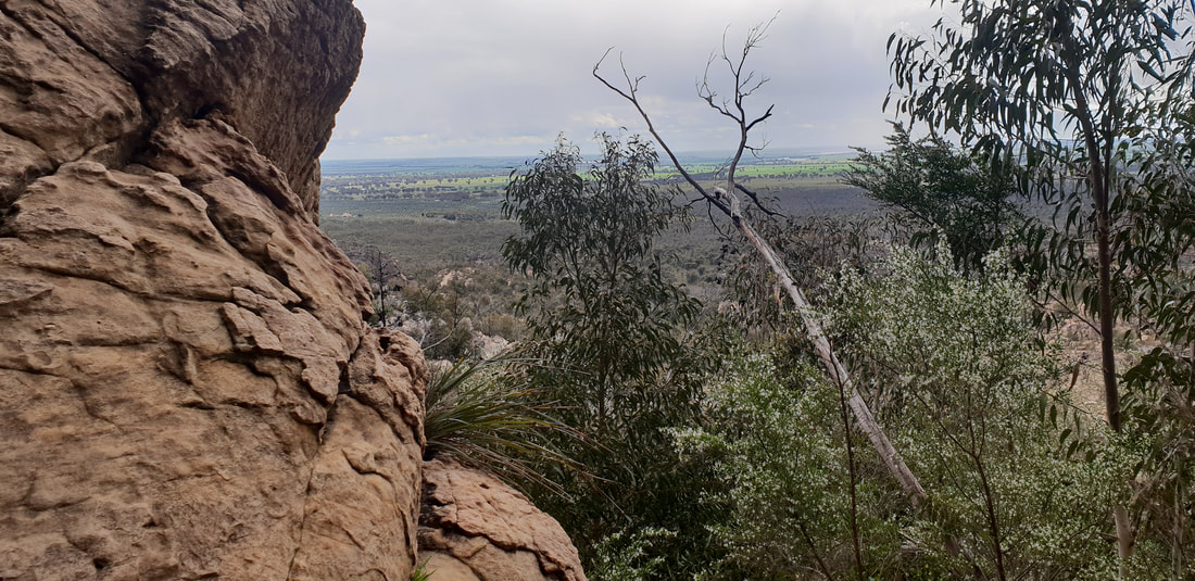
The Little Desert National Park sits on the very west of Victoria just shy of the South Australian Border. The national park spans over 132,647 hectares with a variety of flora and fauna that survive well on the almost infertile deep sandy soil. Pure Mallee, Cypress Pine and Casuarina flourish through the region depending on location and climate. Brush Tailed Possums, Grey Kangaroos, Lizards and over 200 species of birds are the local wildlife residents of this unique landscape. We took a 4-hour drive from Geelong brushing past the Grampians National Park. We pulled in at the Big Koala at Dadswells Bridge to get our “Australian big things” fix. We pitched our tent at Horseshoe Bend, just outside of Dimboola, and then set off for a walk around Pomponderoo Hill, just about 4 kilometres from the campsite. The half hour walk took us through the sandy vegetation of the area in amongst the occasional Grey Kangaroo. The track takes you up to a hill giving you stunning views across the arid landscape, which glowed wonderfully in the afternoon sun. We took a walk down the four-wheel drive track near by, and spotted a mob of emus running across the country, it’s always quite a spectacle so see them on the move. As the sun was setting, we got back to camp to cook a feed and listen to the change of wildlife soundtrack as the day wildlife go to sleep and the nightlife of the wild rises. The highest definition cinema comes to life in the clear night sky with countless stars, and a glowing moon that leaves you wondering about other life out there. We went off to sleep being surrounded by Grey Kangaroos and Possums doing their work through the night. We woke with the sun and enjoyed breakfast in the nature, after packing our camp; we went back to the Grampians National Park to look for some walking tracks. 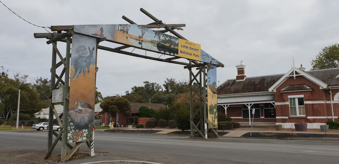
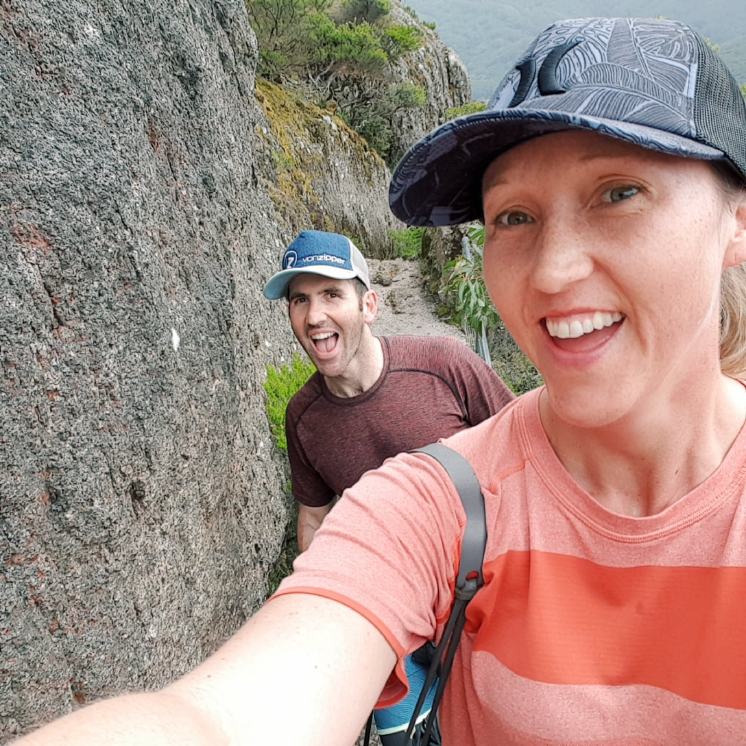
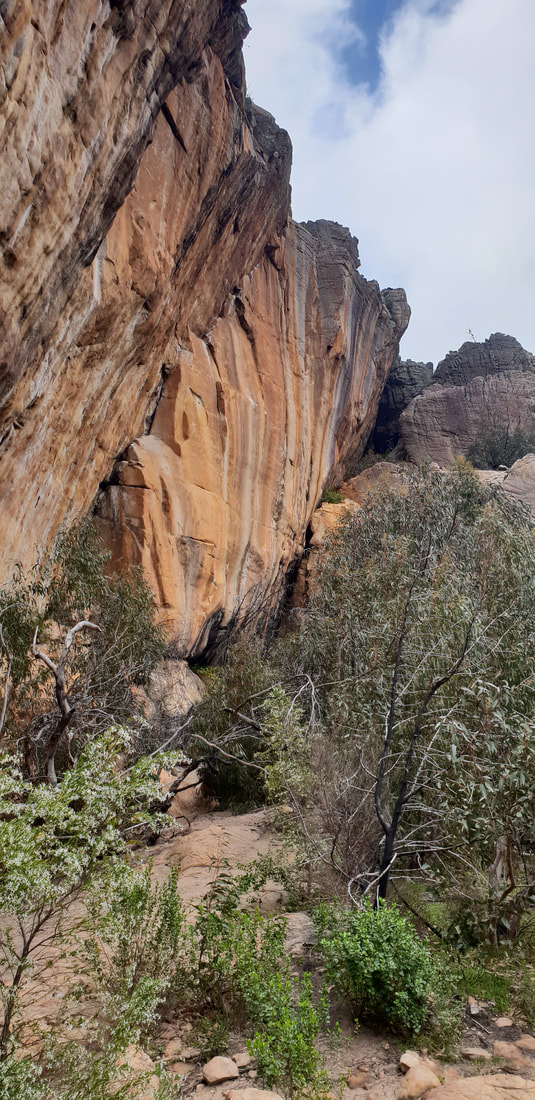
Hollow Mountain Walk at The Grampians
We took another walk along the Gulgurn Manja track, which means ‘hands of the young people’, this is a natural rock shelter with paintings of bars, emu tracks and hand prints that were stories from the Jardwadjali people.
We had an awesome trip out to Little Desert, it’s the perfect place to go if you are trying to get as far away from the city as you possibly can without hearing another human soul. The peace and tranquillity was something that just stuck with us when we were there, being amongst the nature here felt like your batteries were constantly recharged. No drainage out here, just living.
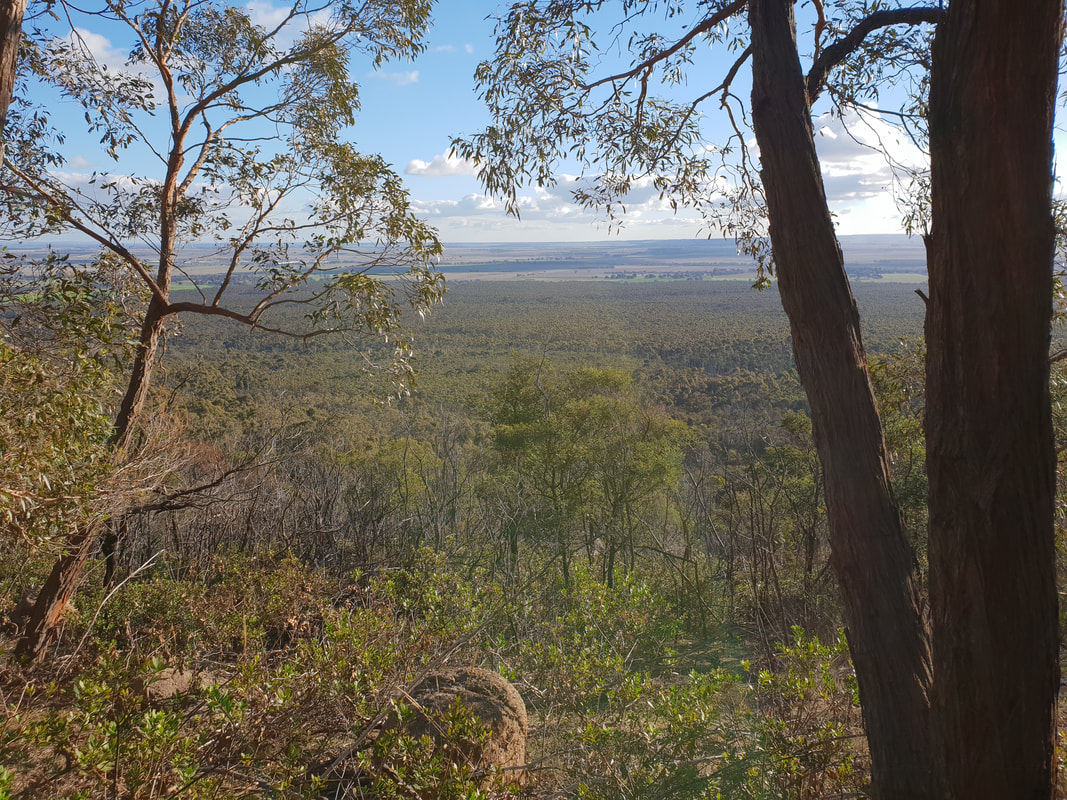
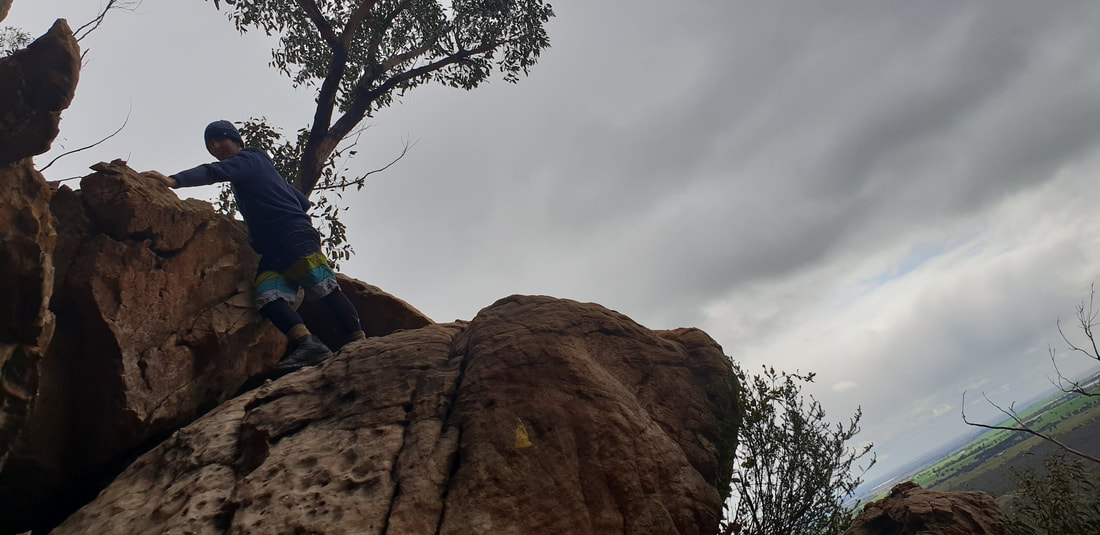
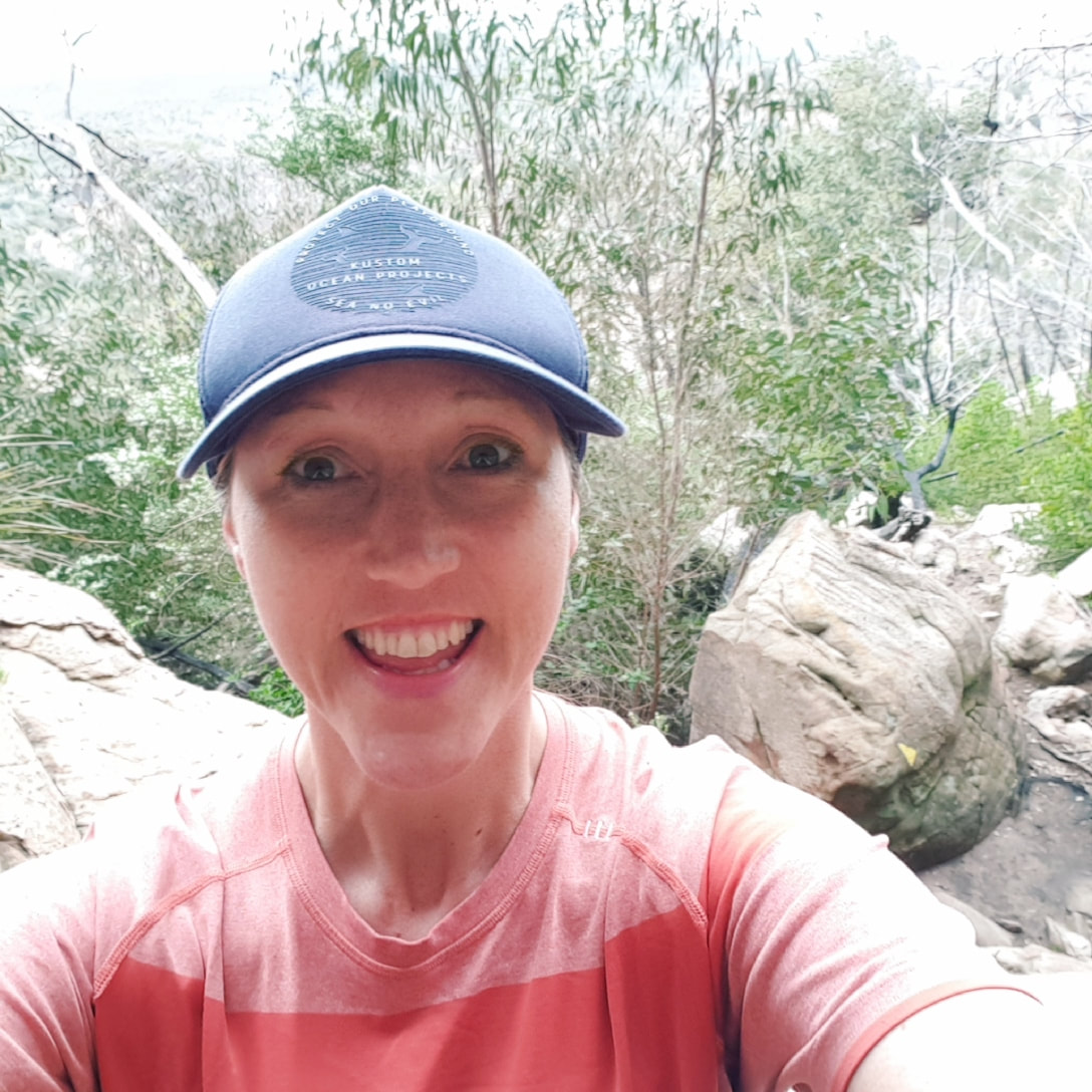
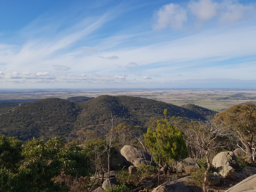
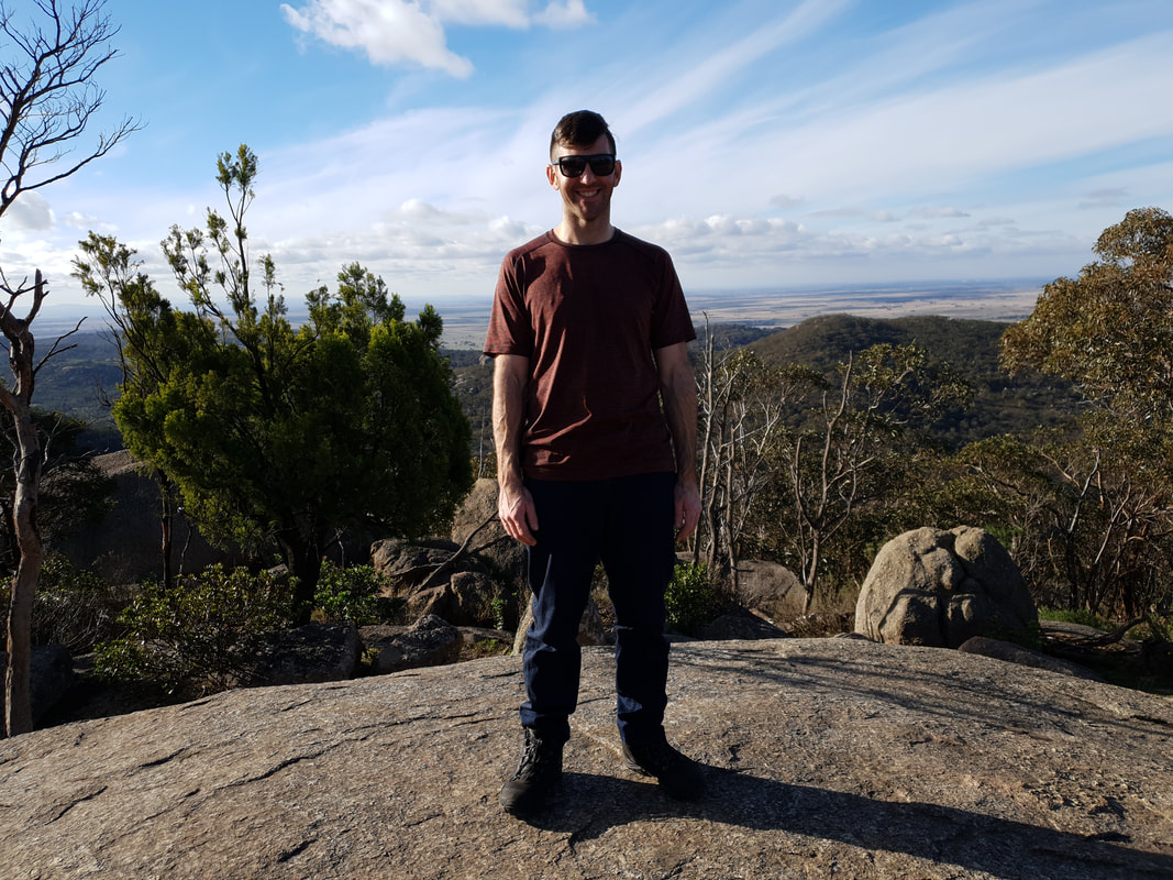
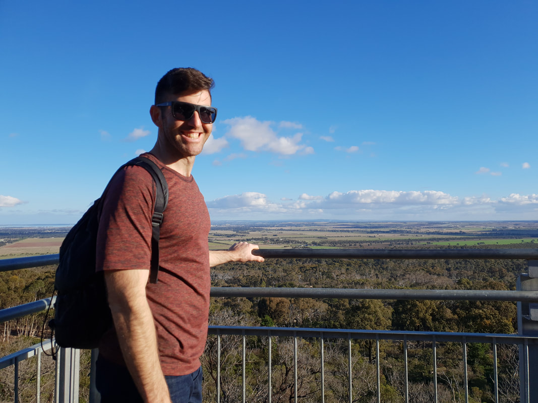
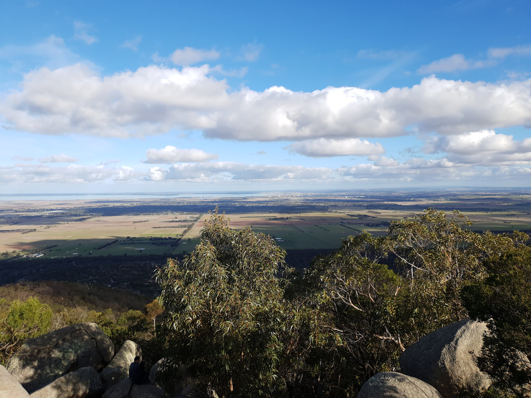
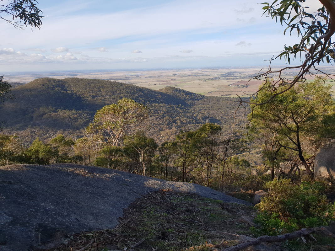
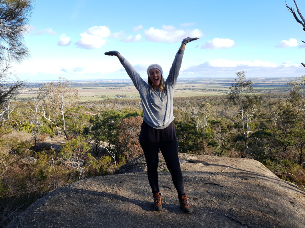
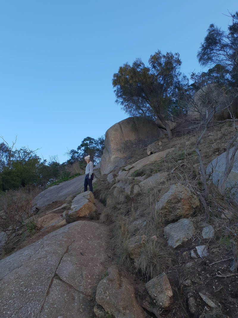
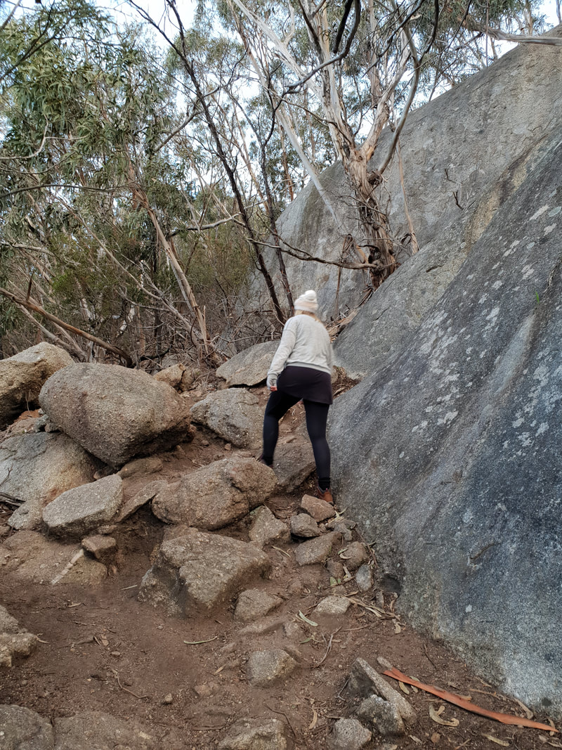
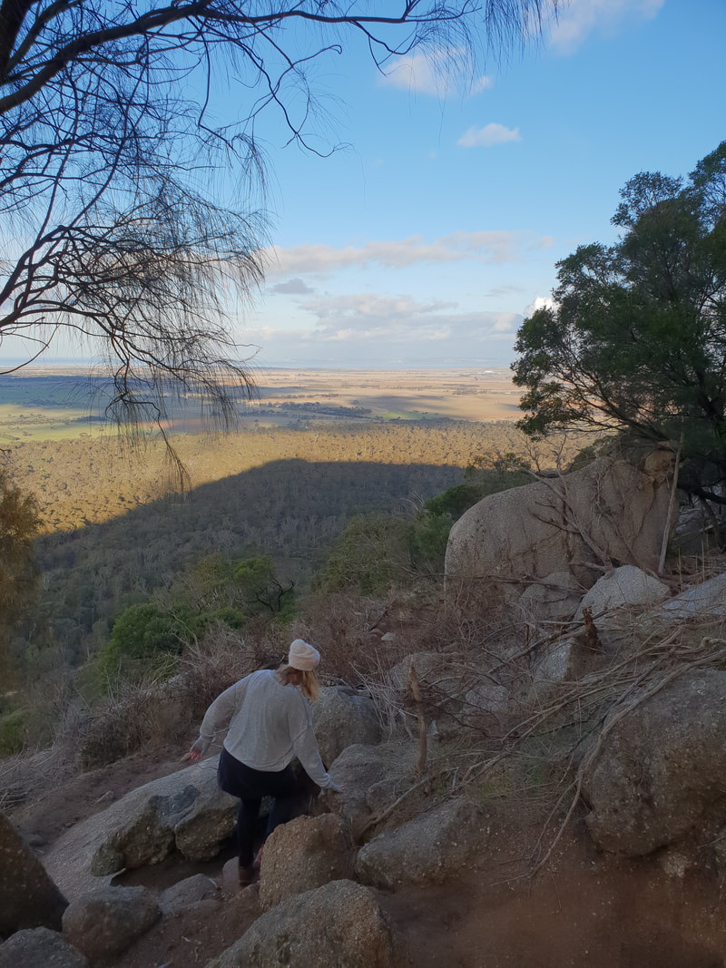
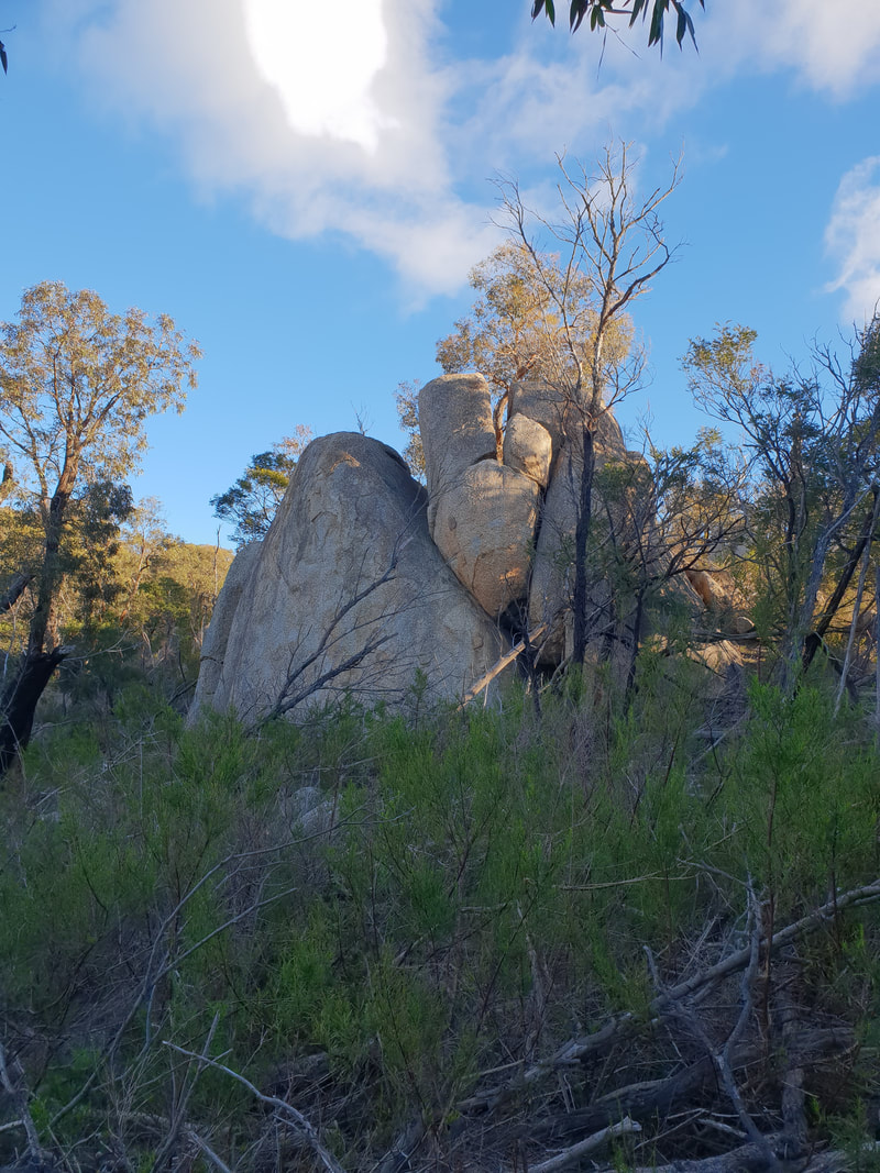
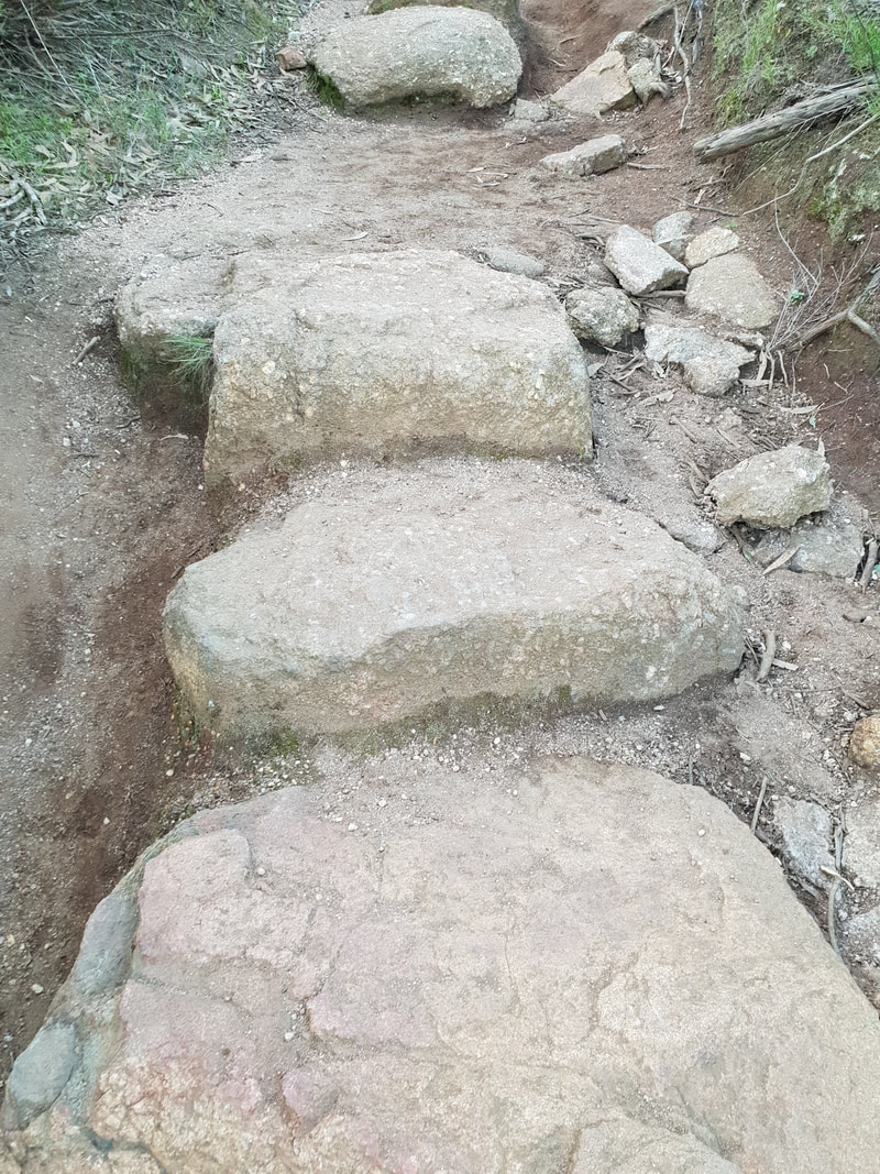
Flinders Peak & East-West Walking Trails, approx. 7.5 kilometres including 450 stairs
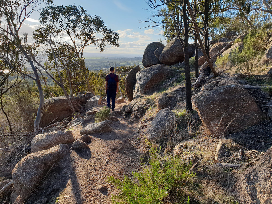
It is believed the You Yangs were formed by a volcano, but despite the granite rocky outcrops being the result of essentially cooled magma, during the volcanic period the You Yangs would have actually been underground, as the surface of the earth was several kilometres higher. We came across a similar explanation of the land's current formation when we visited the Australia Age of Dinosaurs in Winton, Queensland.
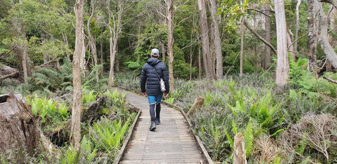
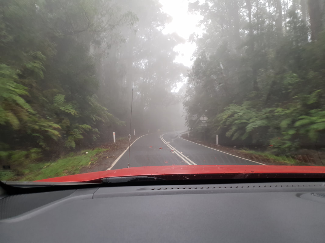
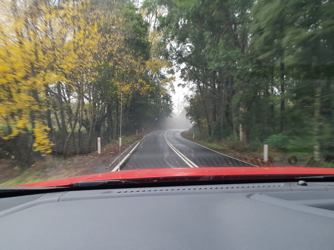
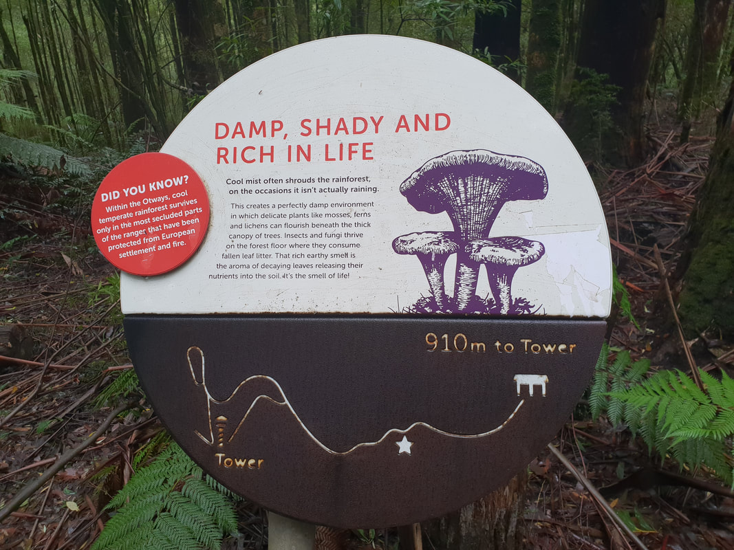
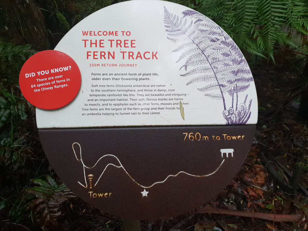
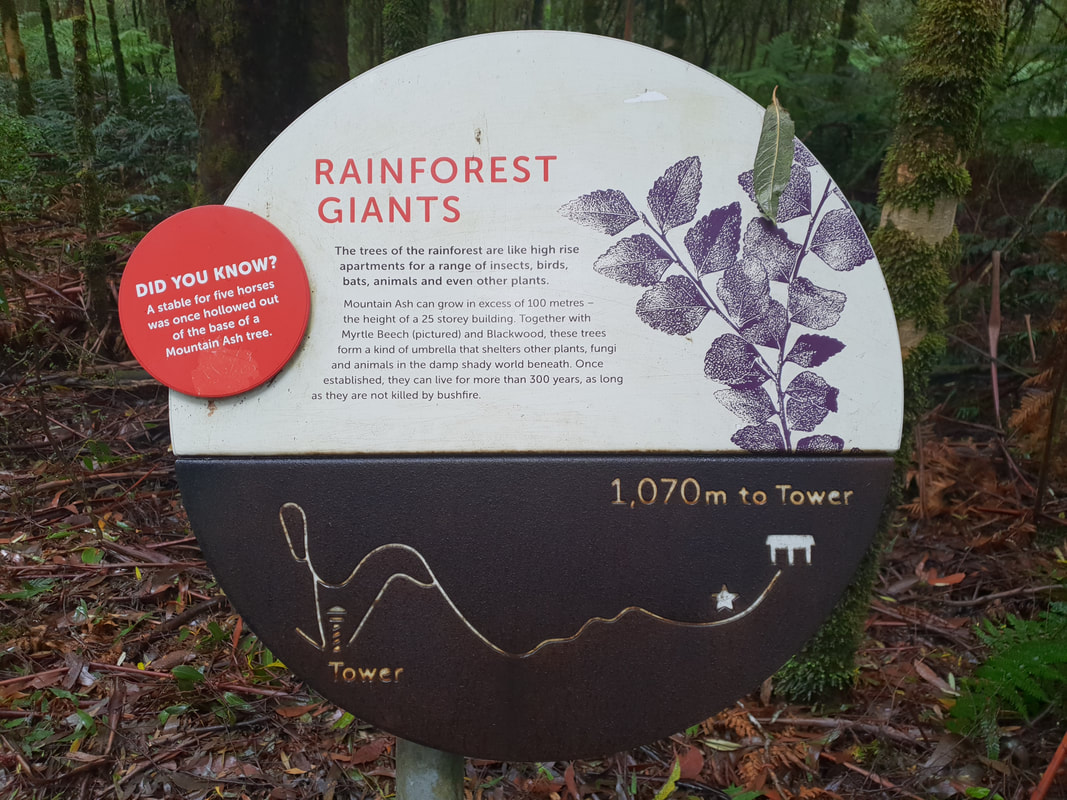
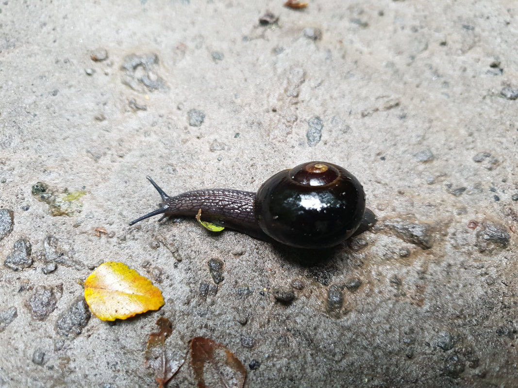
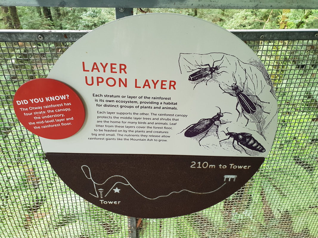
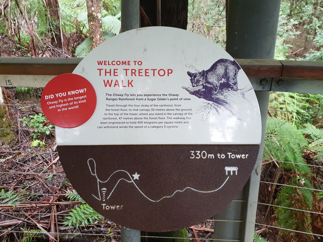
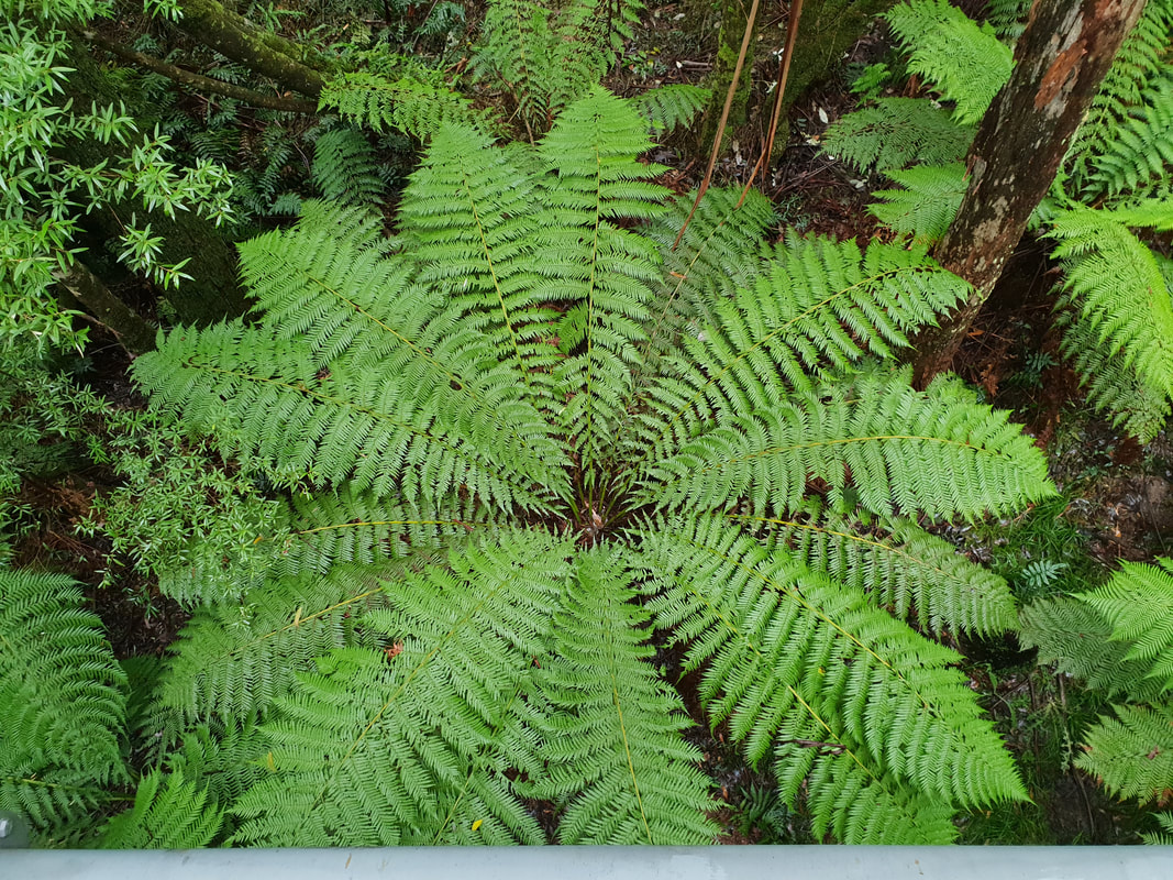
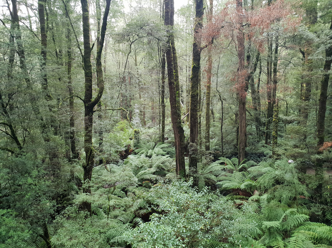
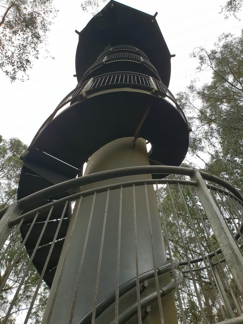
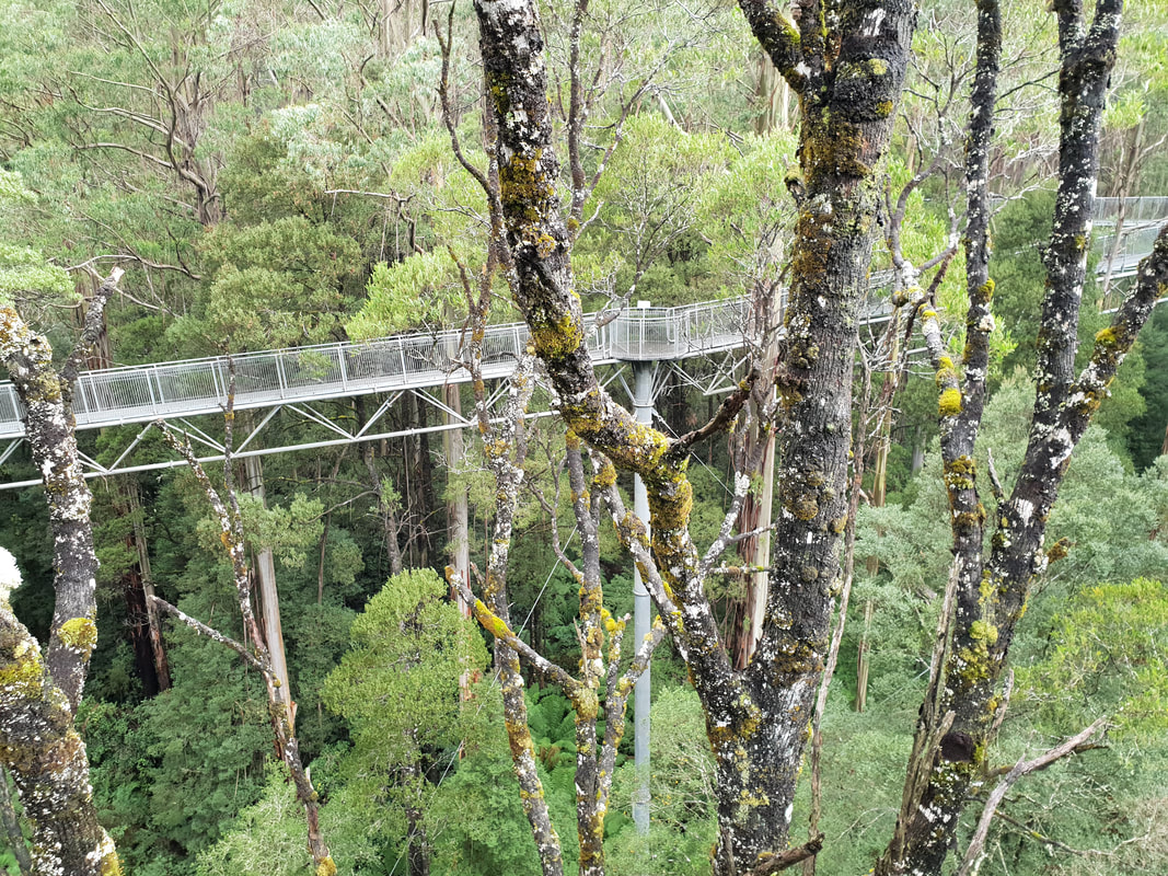
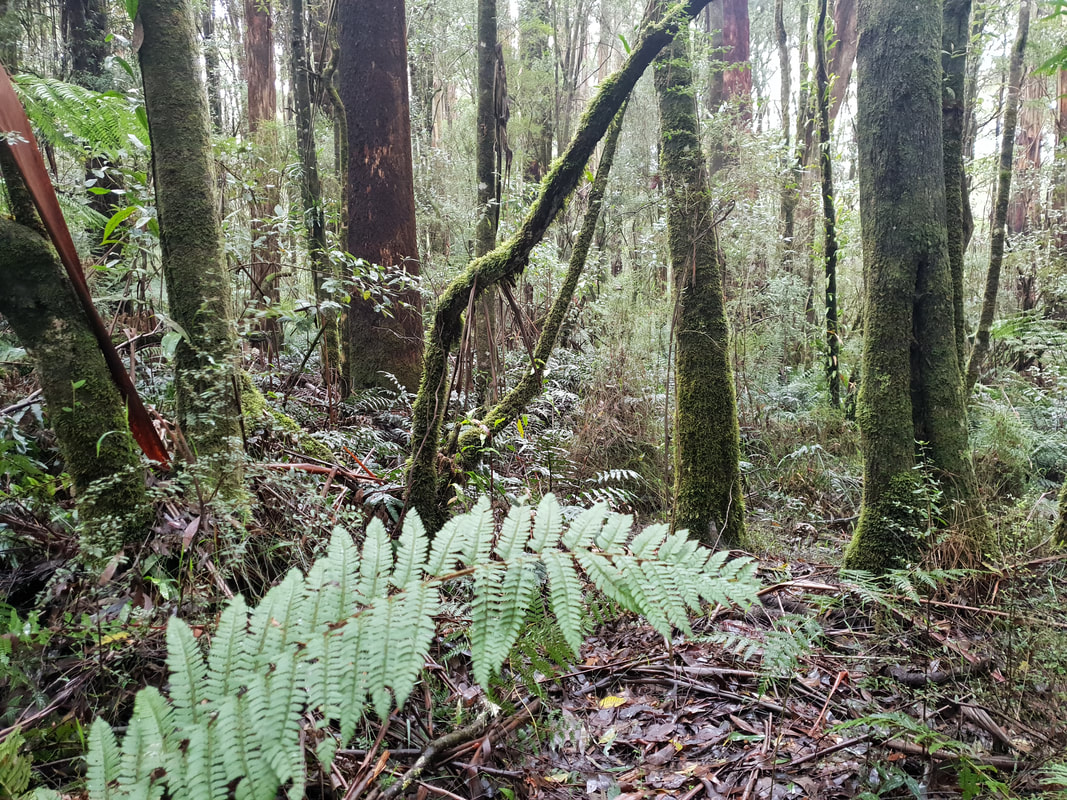
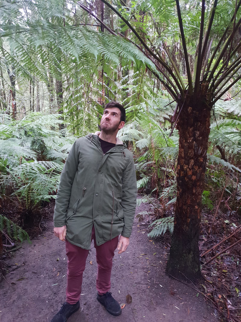
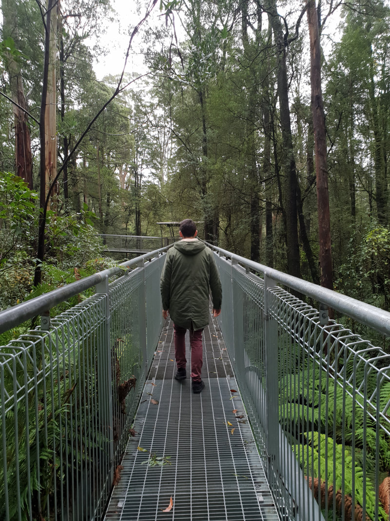
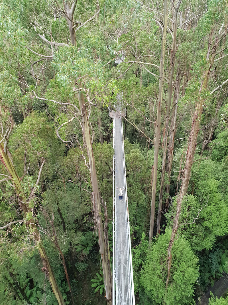
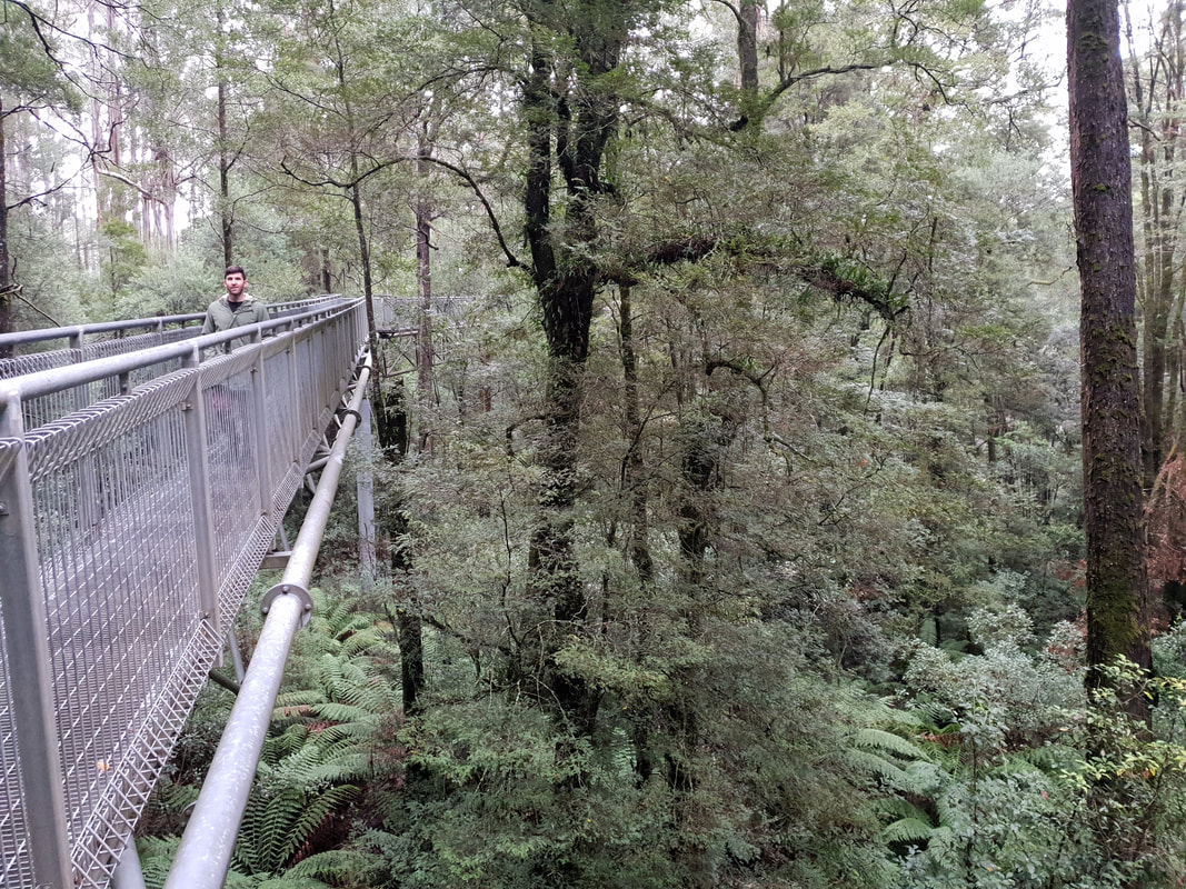
Otway Fly
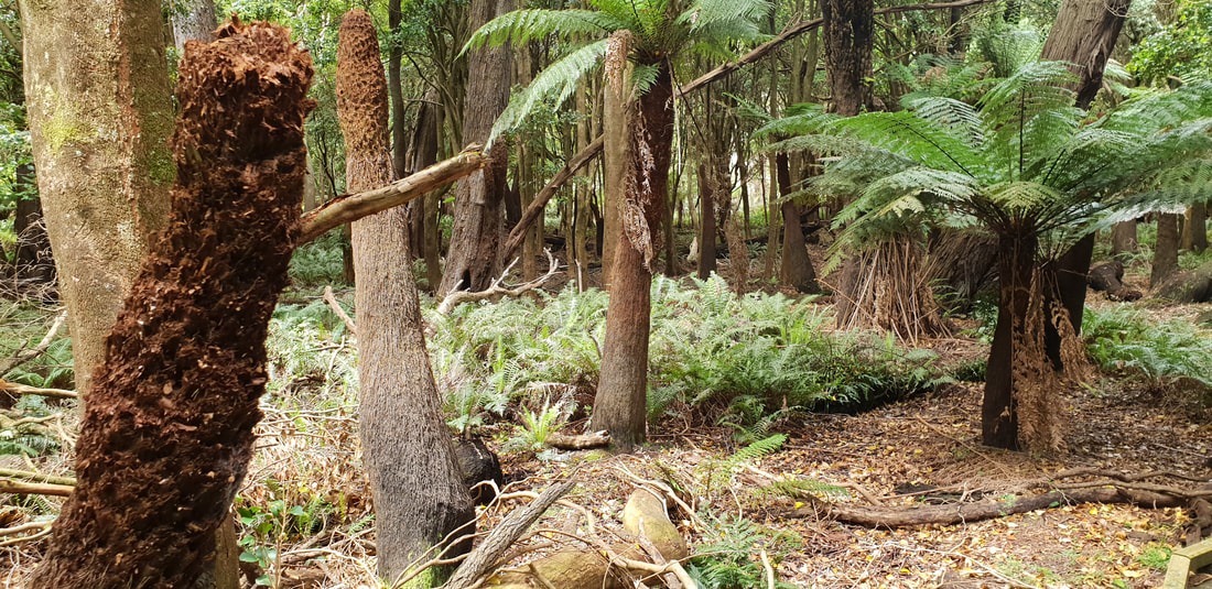
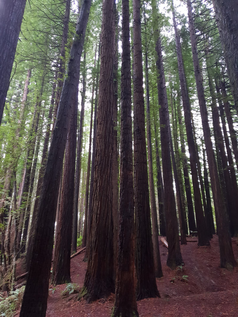
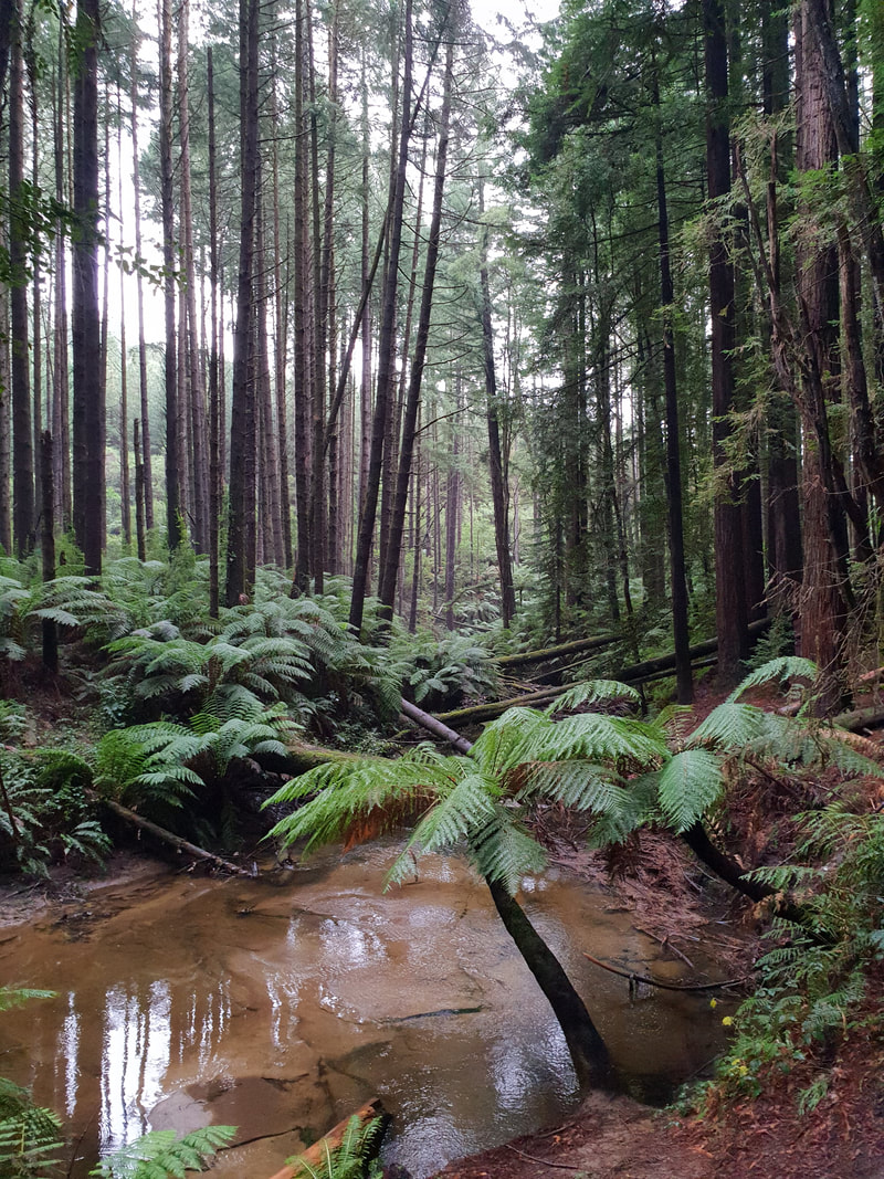
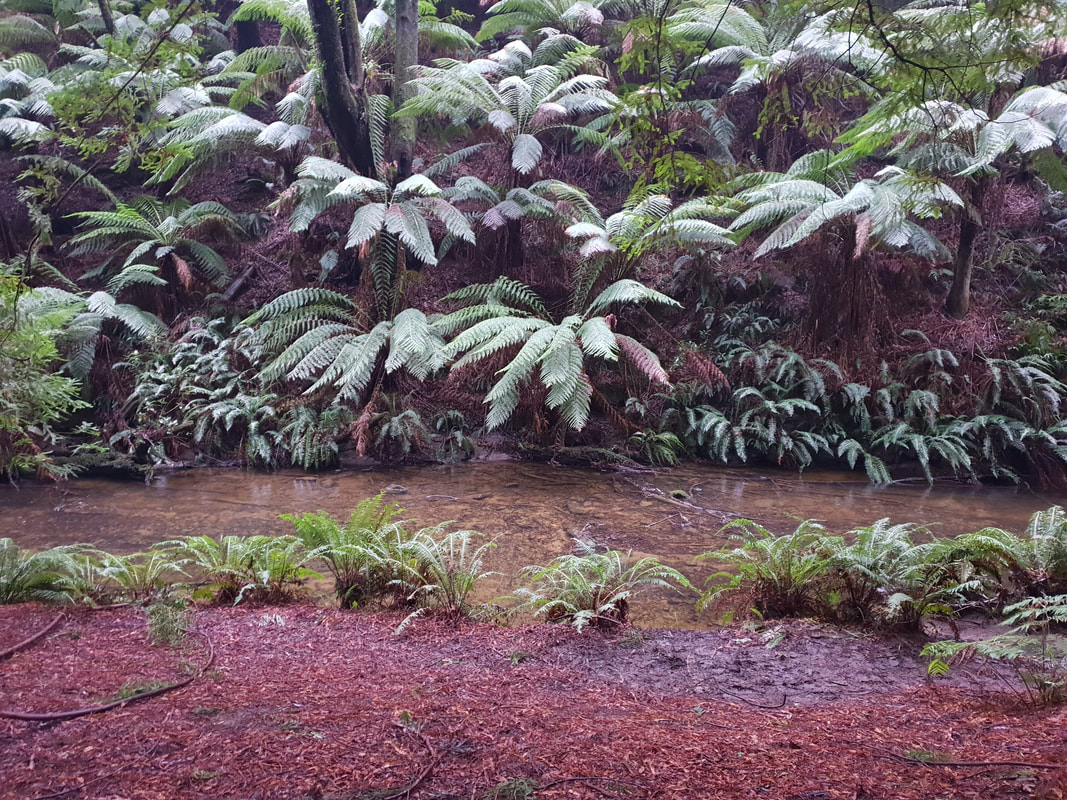
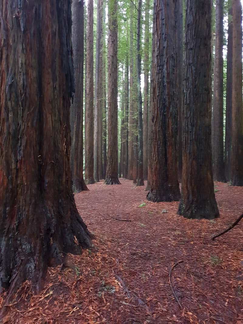
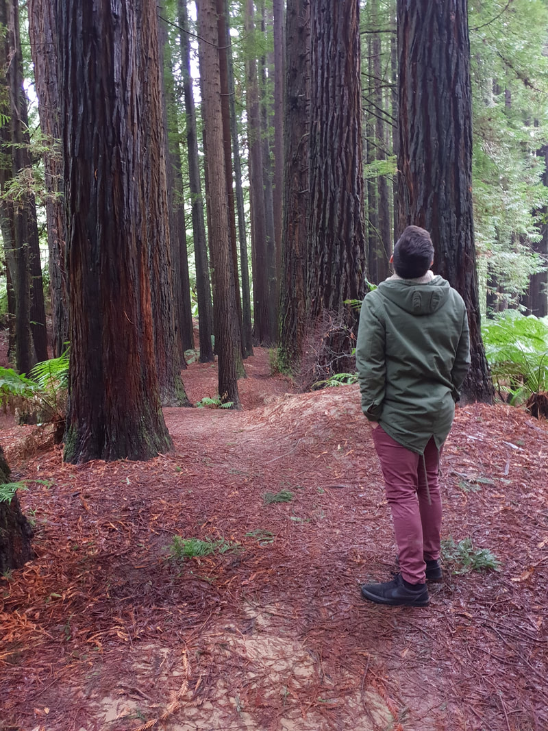
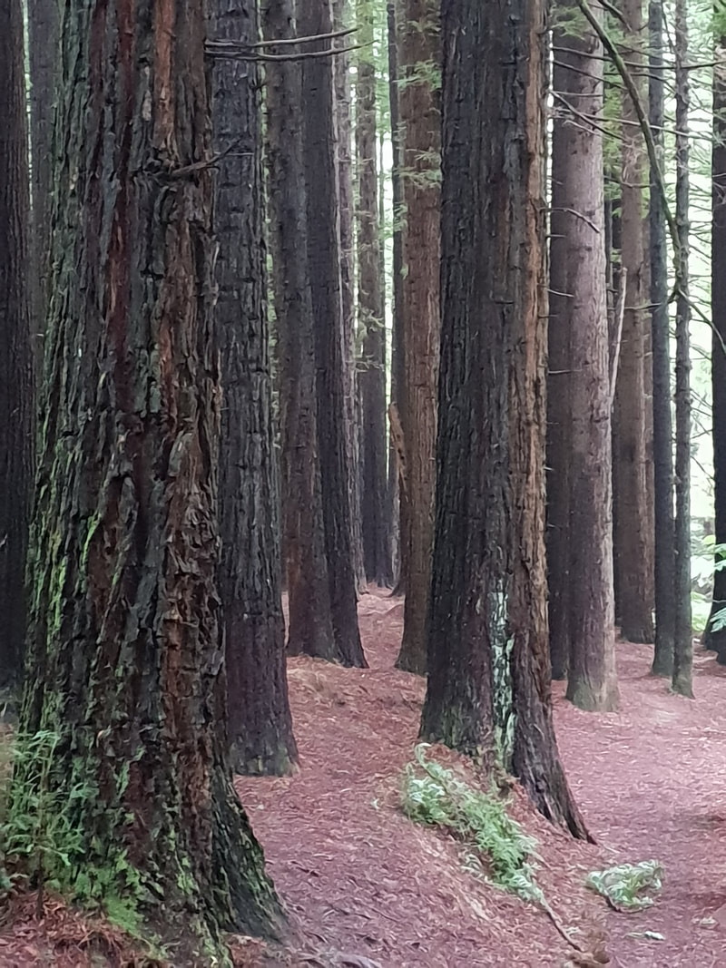
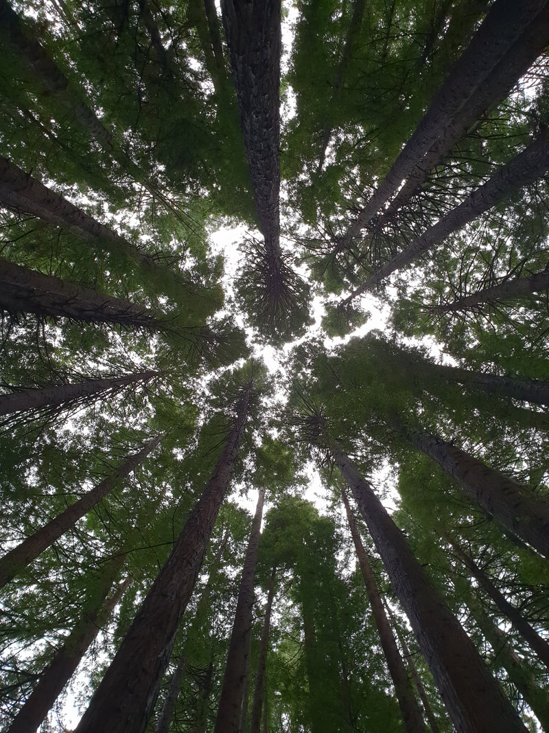
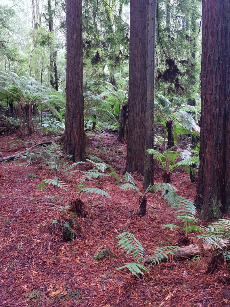
Californian Redwood Forest
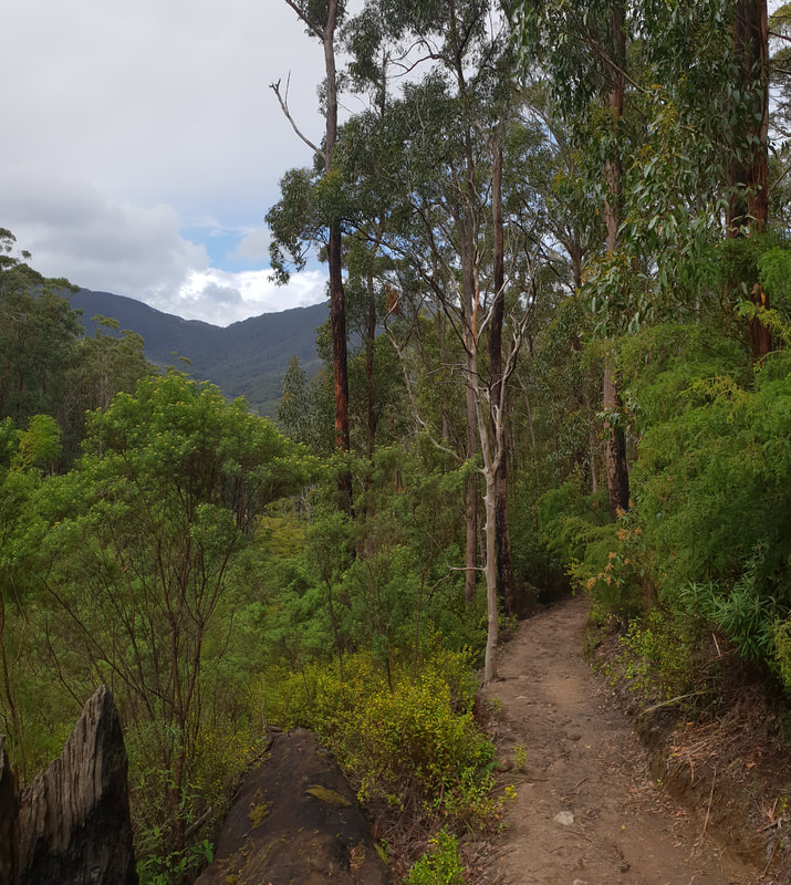
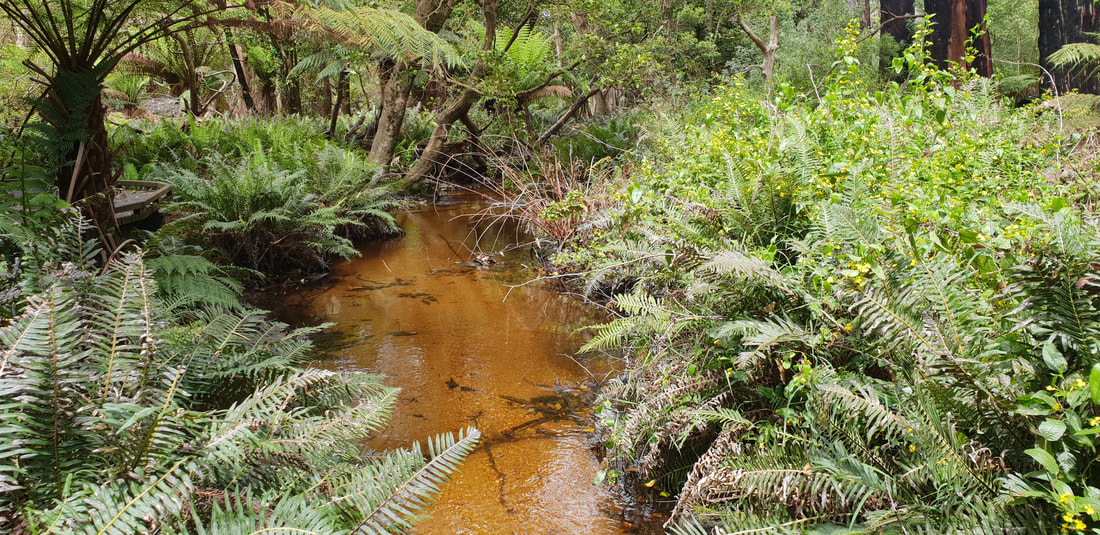
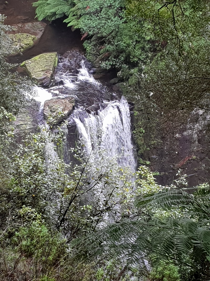
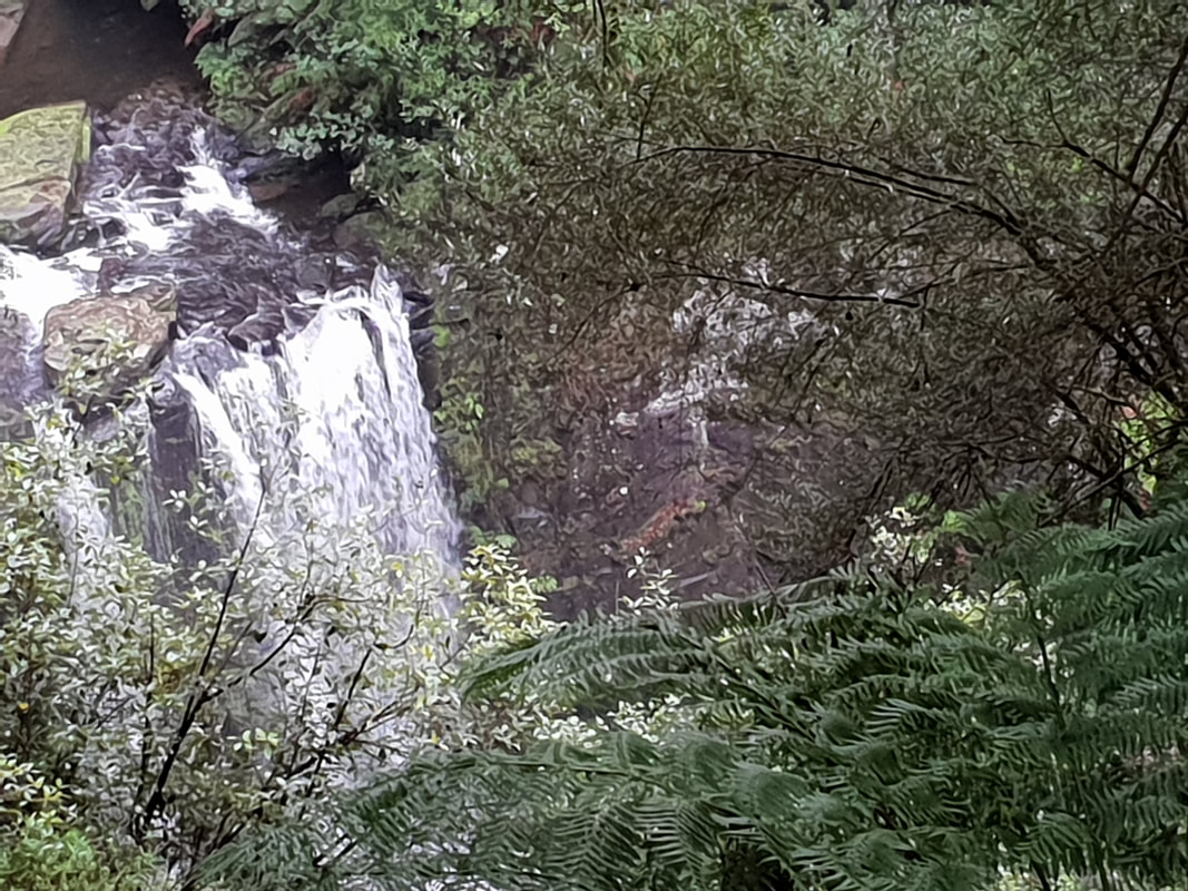
Hopetoun Falls
|
The JourneyChoose Curiosity The Catalogue
November 2023
The Tags
All
|


 RSS Feed
